What to expect
Highlights
- Boat or canoe routes around Chettuva Backwaters
- Village life, canals and lake/river scenery
- Good fit for homestays and local food stops
A calm estuarine backwater, mangroves and fishing-harbour belt on the Thrissur coast near Chavakkad, quieter than Alappuzha.
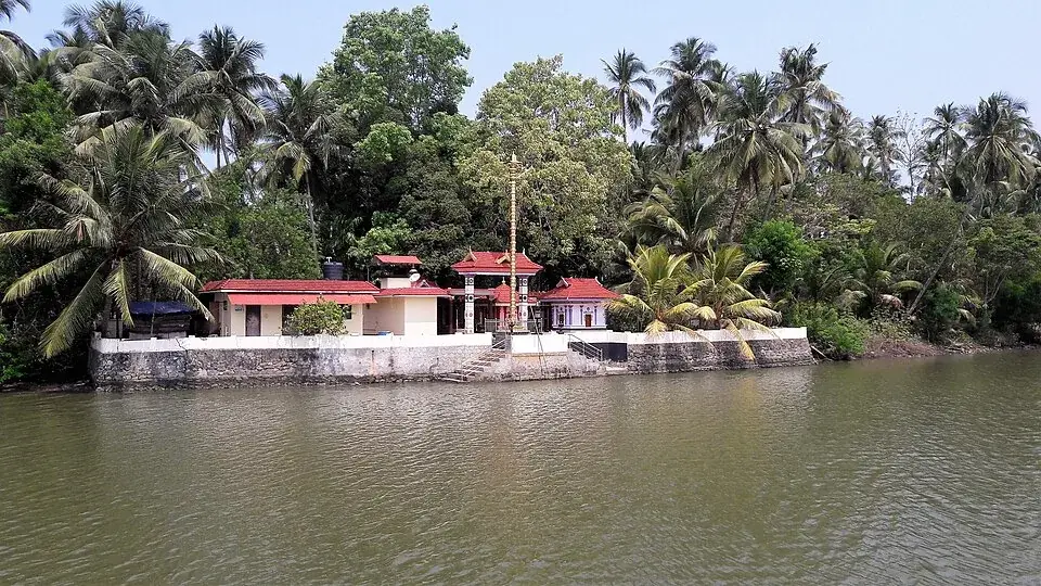
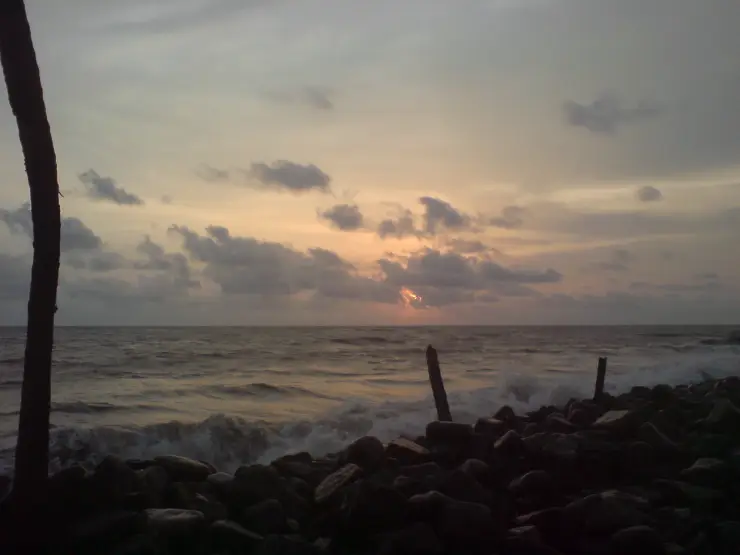
Chettuva is a working backwater landscape of mangrove margins, islands, fishing and boat landings, rather than a single lakeside attraction.
Kerala Tourism describes the waterways extending from Enamakkal towards the Arabian Sea and identifies Vettakkorumakan as a boat-landing point used for excursions. Mangroves and islands break up the open water, while fishing and mussel harvesting keep the shore connected to daily work.
A boat trip can reveal these layers more clearly than a roadside stop, but the landing, route and duration matter. Different stretches of water appear in tourism descriptions under the wider Chettuva name. Ask the operator to identify the actual departure point and explain which channels the proposed trip covers.
Choose the outing around what you want to see: a short water-level view, an extended mangrove-side cruise or village activity observed respectfully from the boat. Agree the return time, weather arrangements and included stops before departure. Avoid asking crews to enter narrow vegetation simply to bring a camera closer to birds.
Road km to Thrissur; ghat roads and traffic vary — allow extra.
October to March is best for comfortable boat trips; monsoon is greener but weather can disrupt plans.
Live forecast loads in your browser.
Sun and moon are calculated for this location and shown in IST. Photography windows are the hour around sunrise and sunset; the sunset bearing is degrees clockwise from true north. Moon phase is accurate to about half a day.
These are official or public-sector eco offerings that match this place, town or forest destination. Confirm availability, permits, tariffs and reporting times with the official operator before travel.

Peechi reservoir, garden and the sanctuary’s southern public edge; a dam visit rather than proof that a guided forest trail is operating.
Official source →
The Vazhani dam approach, garden and forest threshold from which official tourism material names four local trails and a trek towards Peechi.
Official source →Browse listed stays, food, activities, sights, shops and rentals around Chettuva Backwaters. Check each listing’s locality and contact the business directly for current arrangements.
Thrissur taxi provider near the railway station with Guruvayur and Athirappilly route evidence. Thrissur taxi, Railway station, Guruvayur transfer.
Thrissur call-taxi and app cab provider near the railway station. Thrissur taxi, Railway station, App cab.
Official temple contact for Thrissur city central Shiva temple and Pooram anchor. Temple rules apply · Thrissur, Vadakkunnathan Temple, Temple.
Official Thrissur tourism contact context for city, Pooram and district trip planning. Thrissur, DTPC, Tourist information.
Thrissur-based tour and taxi operator running Athirappilly waterfall day trips, Guruvayur temple runs and Sabarimala transfers. It works from Nedupuzha near Vattappini Temple with Innova, Dzire and Ertiga cars plus 12 to 26 seat tempo travellers, and lists several direct booking numbers.
Kerala Tourism-listed Thrissur district travel agent based in North Irinjalakuda. Thrissur travel agent, Irinjalakuda, Kerala Tourism listed.
Thrissur taxi operator near the railway station with direct booking contacts. Thrissur taxi, Railway station, Transport.
Book with the place itself. India’s cyber-crime coordination centre warned in April 2025 that convincing copies of hotel and pilgrimage booking sites are being pushed through sponsored search and social ads, taking payment for rooms the property never hears about. Use the contact and source details on each profile to confirm the exact business and booking channel. A directory entry or map pin alone does not establish an operator’s identity or current availability. Roampedia takes no commission and does not collect booking payments. If a booking page reached you through an ad, check the address bar against the property’s own site before you pay. Fraud can be reported on cybercrime.gov.in or on 1930.
Find food, accommodation and activities across Thrissur city. Browse the guides for places to eat, stay and explore along your route.
23 more places around Thrissur city. Open a guide to plan the visit and onward journey.
An old temple landscape near Kandanassery with nearby megalithic remains; living worship and archaeological evidence must be described as separate layers.
A narrow pedestrian suspension bridge over the Karuvannur river at Chemmapilly, best visited as a working local crossing rather than a staged thrill attraction.
A longstanding Catholic pilgrimage church at Mapranam associated with the Holy Cross and annual feast observances.
A lesser-known rocky hill destination in Thrissur district where the exact approach, safe stopping point and public access require local confirmation.
20.0 km · straight line
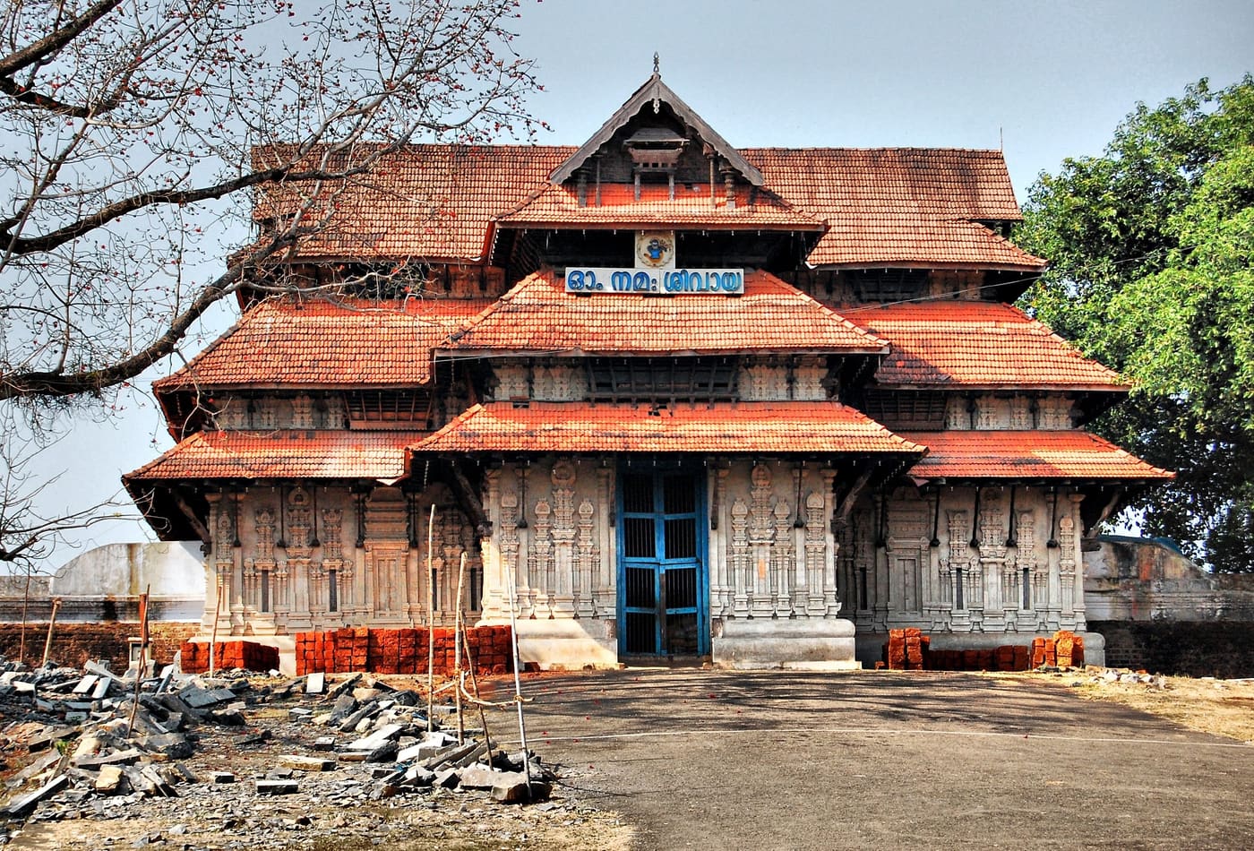
Ancient temple at the centre of Thrissur’s round, associated with Thrissur Pooram.
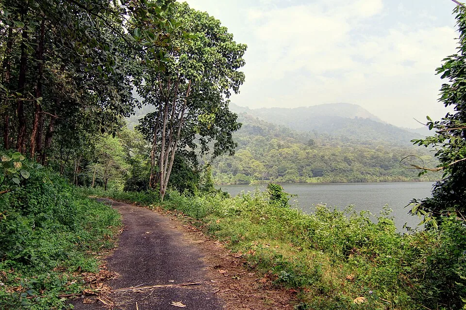
The official guided 5 km, roughly 3-hour forest route from Virakuthodu, one kilometre beyond the check post, to Choorathala inside Chimmony Wildlife Sanctuary.
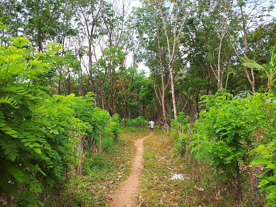
A guided forest crossing described from Vazhani towards Peechi, plus shorter named trails on the Vazhani side. Current operation, meeting point and return transport must be confirmed with the sanctuary office.
20.0 km · straight line
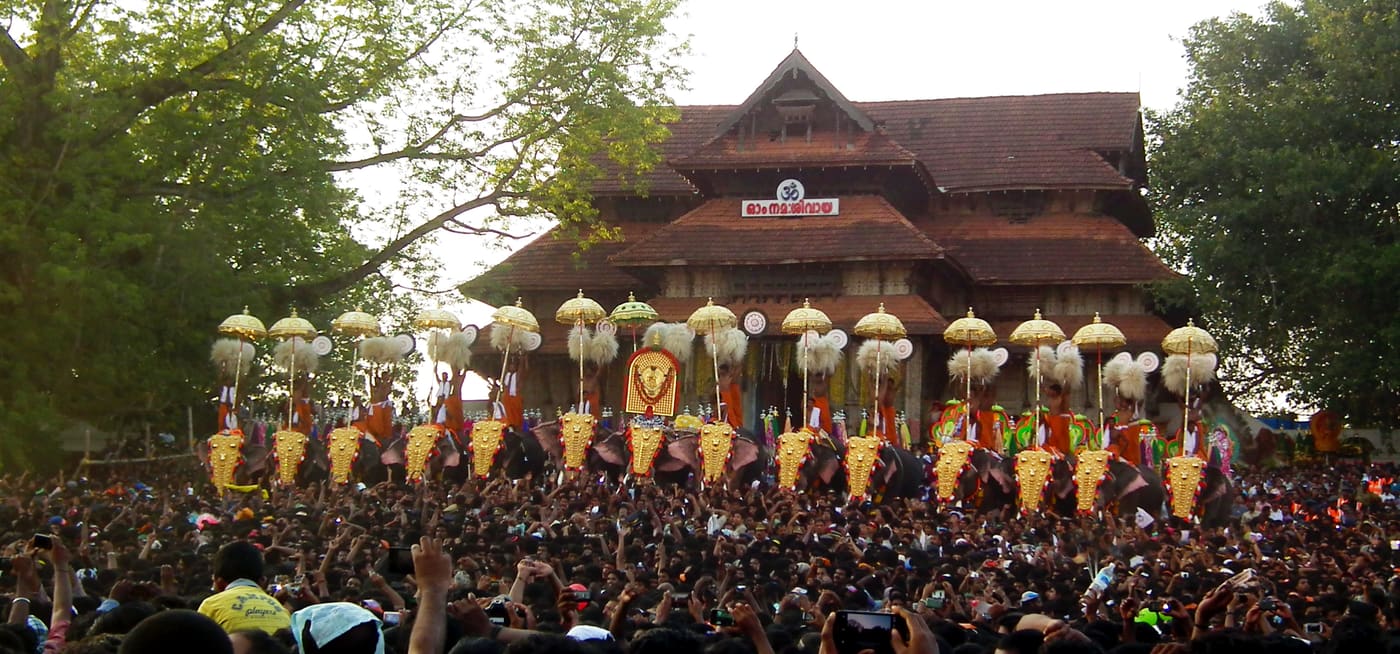
Kerala’s most famous temple festival, held around April/May at the Thekkinkadu ground around Vadakkunnathan.
20.0 km · straight line
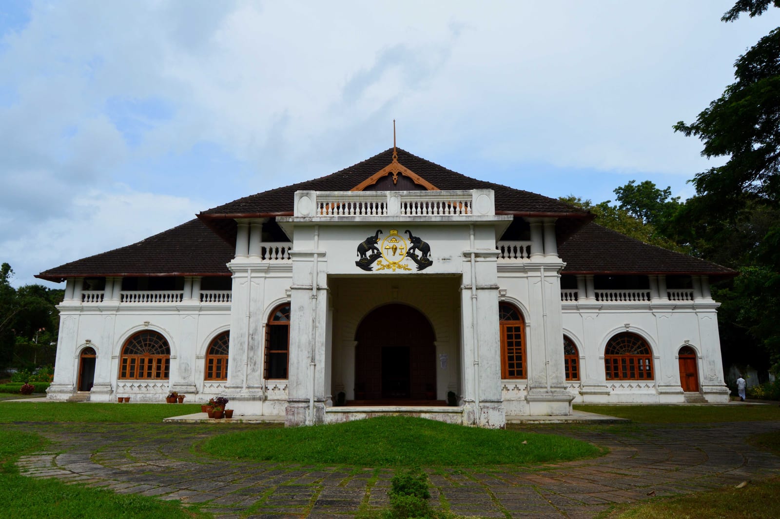
Restored palace and archaeological museum in Thrissur city, built by Raja Rama Varma Sakthan Thampuran.
20.4 km · straight line
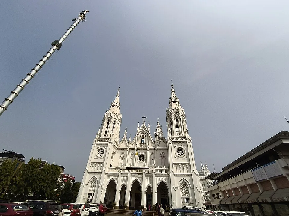
The “Puthan Pally” basilica in Thrissur, known for its Bible Tower — among the tallest church towers in Asia.
20.9 km · straight line
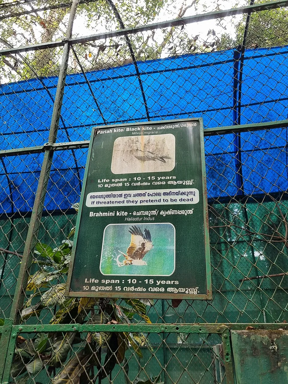
State museum, art gallery and natural-history collection at Chembukkavu; the zoo animals moved to the new zoological park at Puthur, open since February 2026.
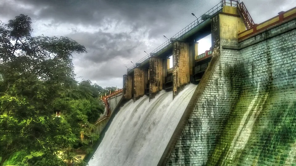
Reservoir and garden at the edge of the Peechi-Vazhani sanctuary, with boating, about 20 km east of Thrissur.
14.6 km · straight line
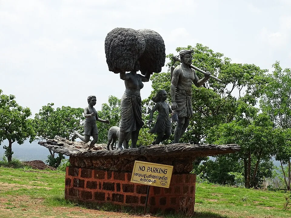
A low hill and park on the edge of Thrissur city, popular for sunset views and morning walks.
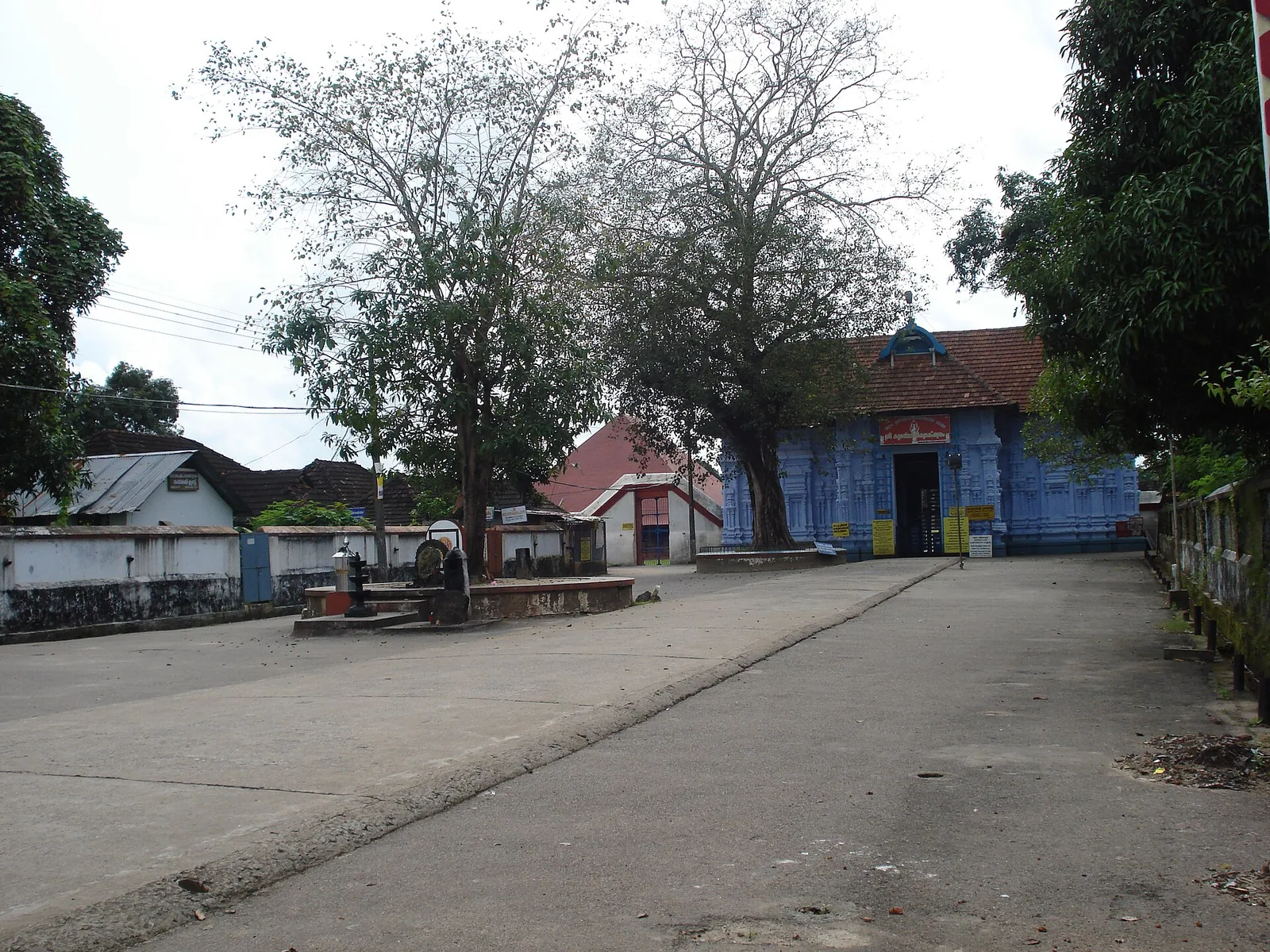
Rare temple at Irinjalakuda dedicated to Bharata, one of the Nalambalam (four-temple) Rama circuit shrines.
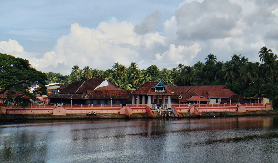
18.3 km · straight line
Sree Rama temple on the Theevra river near Triprayar, another of the Nalambalam circuit shrines.
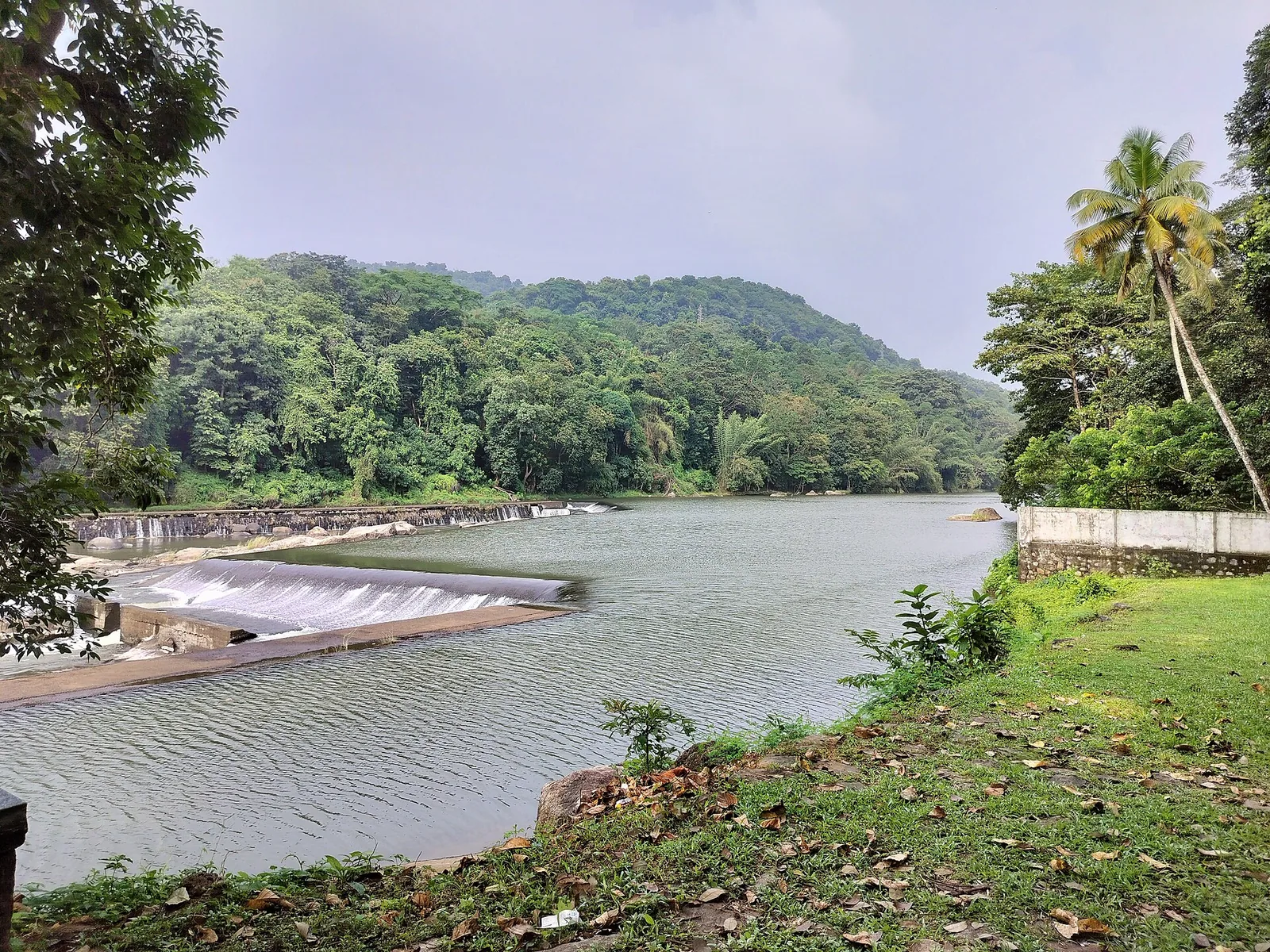
A check dam, hanging garden and butterfly garden on the Chalakudy river near Athirappilly, a popular picnic and day-trip stop.
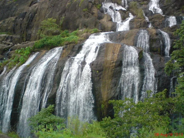
A forest waterfall and fish sanctuary near Marottichal in the hills east of Thrissur, reached by a short walk.
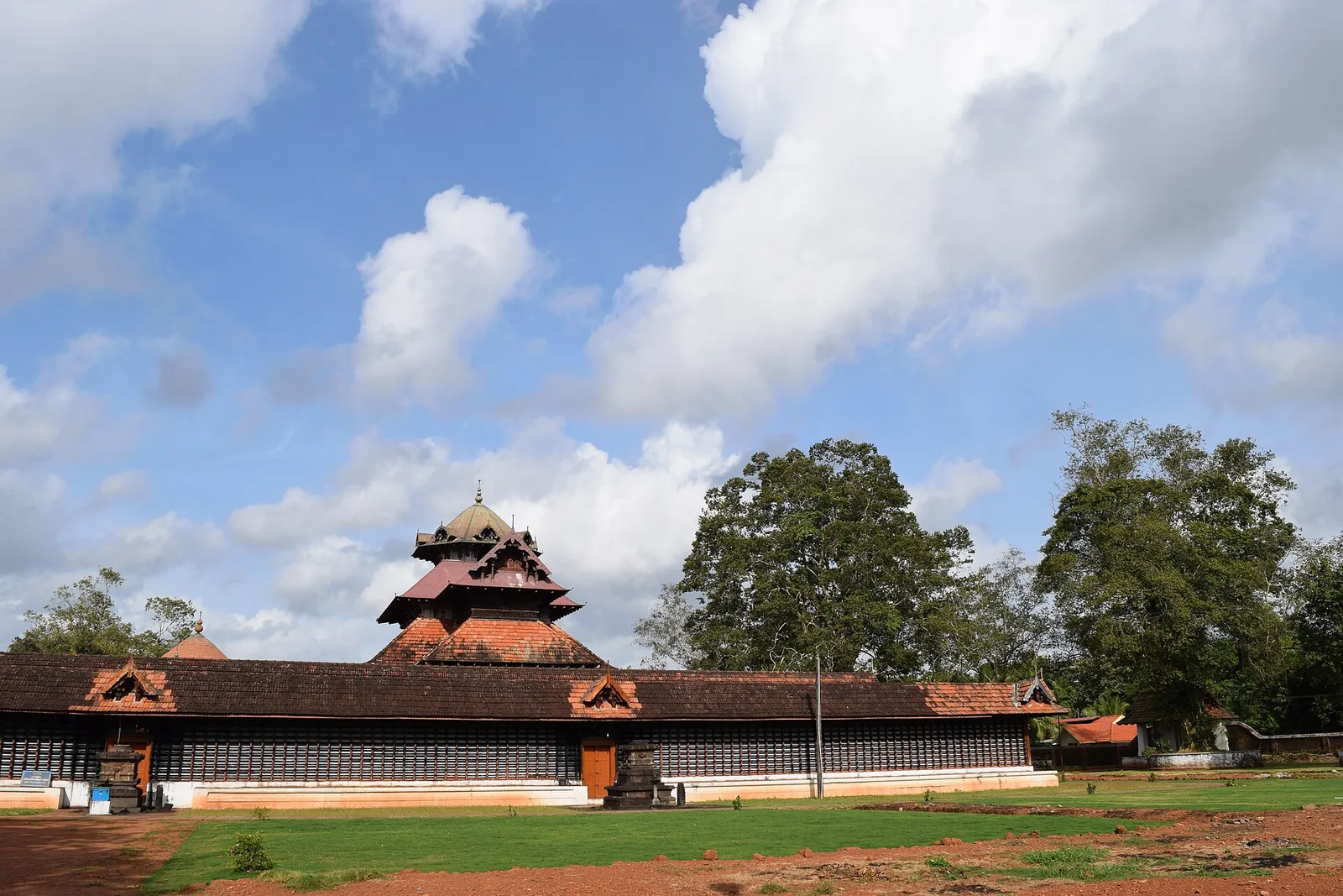
An ancient Shiva temple at Cherpu south of Thrissur, the ritual centre of the historic Peruvanam Pooram.
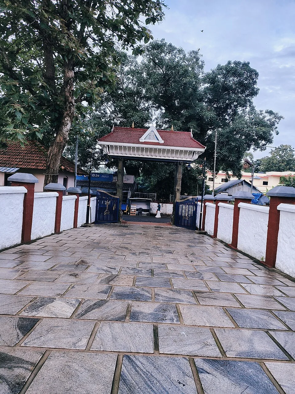
The Sree Rama (Vilwadrinatha) hill temple at Thiruvilwamala on the Nila river, reached by stone steps up the wooded rock.
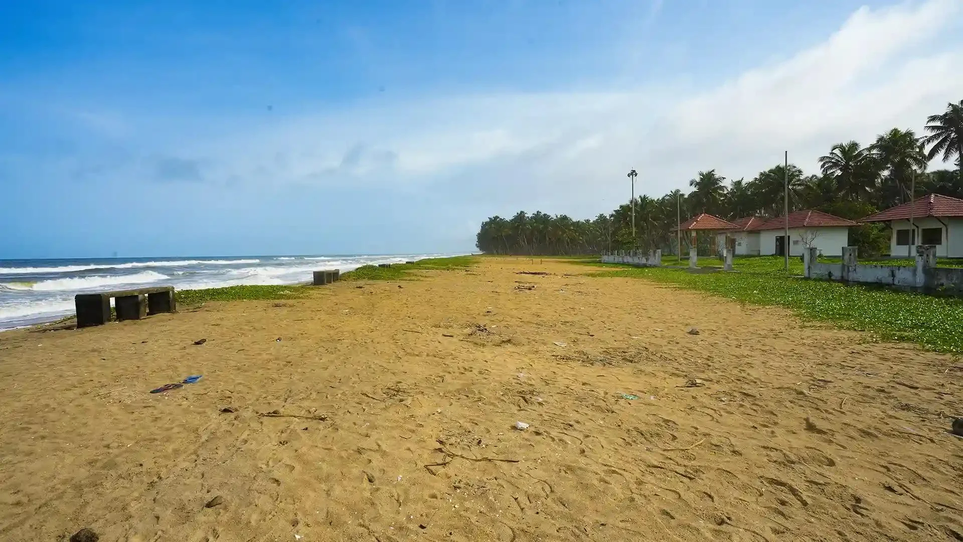
17.0 km · straight line
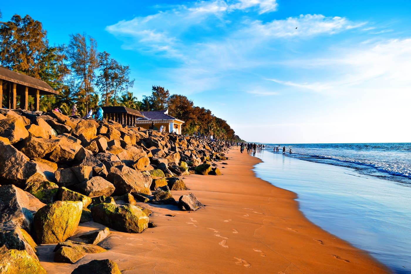
Nattika Beach is the Arabian Sea shore of Nattika in Thrissur district, also identified by Kerala Tourism as Attakuzhi Bandhar Kadapuram. Its long sand frontage, fishing-life connections and association with the Malayalam film Chemmeen give it a character distinct from a resort’s private grounds. Use the named public beach approach for a shore visit, with Nattika and Triprayar providing the wider town plan. The beach, Triprayar Sree Rama Temple and any accommodation property require separate arrival instructions.
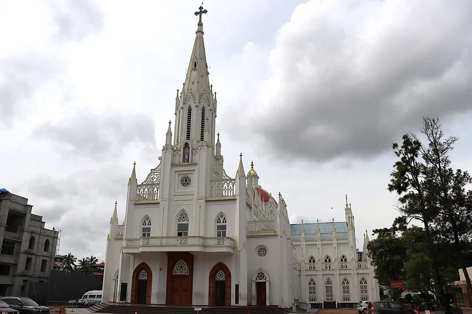
A landmark Syro-Malabar cathedral in Thrissur city known for its Gothic facade and an underground shrine (rock church).
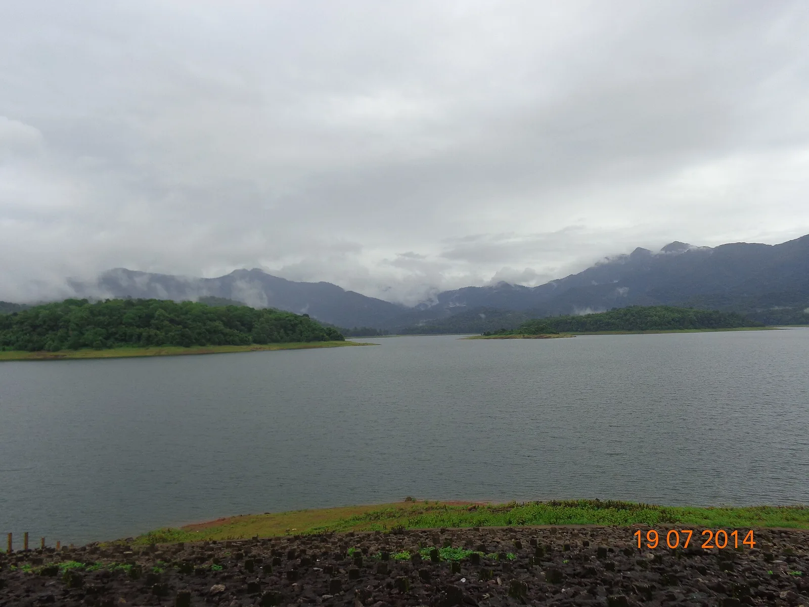
A reservoir and eco-tourism spot at the edge of the Chimmony Wildlife Sanctuary east of Thrissur, with boating and forest views.
Roampedia is commission-free — own or know a stay, eatery, guide or shop near Chettuva Backwaters? Submit public business details for review.
Add a nearby businessEntry: Free to visit; boat rides and canoe trips are charged by operators.
At Chettuva near Chavakkad, about 30 km west of Thrissur; reachable by car or auto from Guruvayur/Chavakkad.
If you are travelling by bus or ferry, check the return service with the operator before setting out. Leave time to reach the stop or jetty after your visit.
Ask at the bus stand for the time of the last service back, not the next one. If you miss it, an auto or app cab is the fallback — agree the fare before you get in.
If you need step-free access, contact the site before travelling. Ask about a level entrance, steps along the route, the nearest drop-off point, seating and accessible toilets.
Published emergency and visitor-assistance contacts. For an immediate emergency, call 112. Shared Kerala contact sources checked 4 October 2026; publication does not establish a tested live response.
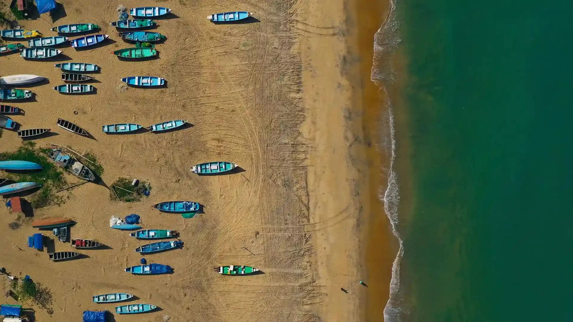
A calm beach near Guruvayur where the backwater meets the sea at the Chavakkad azhimukham.
3.1 km · straight line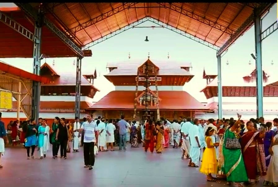
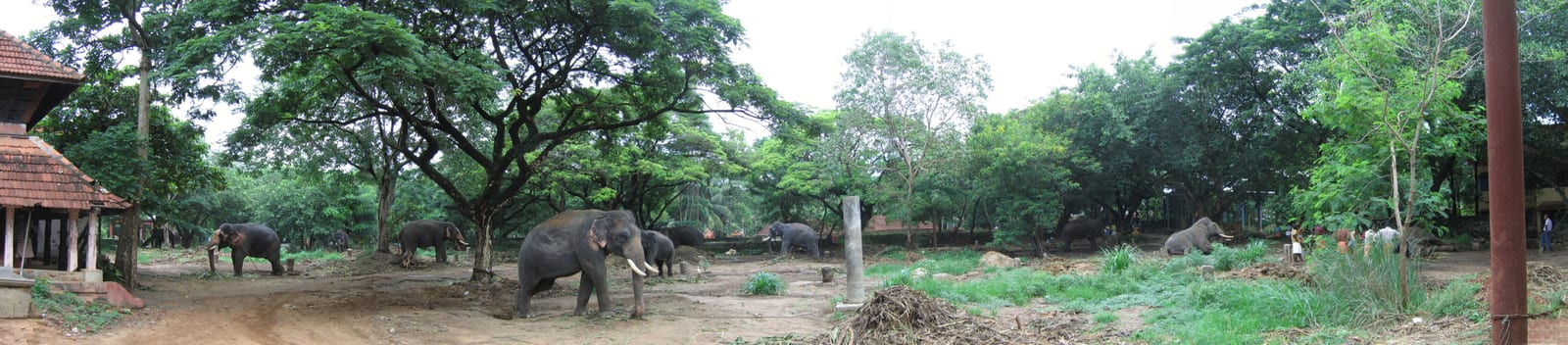
The Guruvayur temple’s elephant sanctuary (Anakkotta) at Punnathur, where the devaswom’s elephants are housed.
6.3 km · straight lineA low hill and park on the edge of Thrissur city, popular for sunset views and morning walks.
14.6 km · straight lineNattika Beach is the Arabian Sea shore of Nattika in Thrissur district, also identified by Kerala Tourism as Attakuzhi Bandhar Kadapuram. Its long sand frontage, fishing-life connections and association with the Malayalam film Chemmeen give it a character distinct from a resort’s private grounds. Use the named public beach approach for a shore visit, with Nattika and Triprayar providing the wider town plan. The beach, Triprayar Sree Rama Temple and any accommodation property require separate arrival instructions.
17.0 km · straight lineSree Rama temple on the Theevra river near Triprayar, another of the Nalambalam circuit shrines.
18.3 km · straight lineAncient temple at the centre of Thrissur’s round, associated with Thrissur Pooram.
20.0 km · straight lineKerala’s most famous temple festival, held around April/May at the Thekkinkadu ground around Vadakkunnathan.
20.0 km · straight lineRestored palace and archaeological museum in Thrissur city, built by Raja Rama Varma Sakthan Thampuran.
20.0 km · straight lineThe “Puthan Pally” basilica in Thrissur, known for its Bible Tower — among the tallest church towers in Asia.
20.4 km · straight lineState museum, art gallery and natural-history collection at Chembukkavu; the zoo animals moved to the new zoological park at Puthur, open since February 2026.
20.9 km · straight lineNo. Kerala Tourism names Vettakkorumakan in its published excursion description, but you should obtain the precise landing and route from your chosen operator.
October to March is best for comfortable boat trips; monsoon is greener but weather can disrupt plans.
Entry: Free to visit; boat rides and canoe trips are charged by operators. Timings: Indicative, confirm locally: daytime, with boating typically in the morning and late afternoon.
Base yourself in Thrissur city or a nearby town in Thrissur, then confirm the last-mile route locally before leaving. Plan boat timings first, then arrange road transfer around the departure point. If the visit depends on forest, temple, boat, ferry, weather or seasonal access, check the official/local rule on the day before travel.
2 hours to a full day; overnight if using a houseboat area.
Nearby you can pair Chavakkad Beach (3.1 km, approximate straight-line separation), Guruvayur Temple (4.1 km, approximate straight-line separation), Punnathur Kotta (6.3 km, approximate straight-line separation), Vilangan Kunnu (14.6 km, approximate straight-line separation).
Use operators with life jackets and clear weather judgement. Avoid overloaded boats.
We have not published a story about Chettuva Backwaters itself yet. These cover Thrissur city and the wider district, with separate journeys between stops.
These guides explore Thrissur city and the surrounding area. Choose a visit that fits your interests, allowing separately for travel between stops.
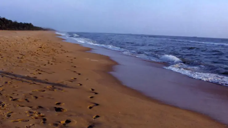


Route-level itineraries and practical guides for the rest of Kerala.
Photographs: Ssriram mt (CC BY-SA 4.0), Sanu N (CC BY-SA 4.0), Siby Varghese (CC BY-SA 3.0), Arayilpdas (CC BY-SA 3.0). Wikimedia Commons.