Banasura Meenmutty Waterfalls

This is the Banasura-side Meenmutty Waterfalls at Kappikkalam, about five kilometres from Banasura Sagar Dam—not the better-known Meppadi waterfall and not Makkiyad Meenmutty farther north.

Banasura Meenmutty Waterfalls, Kalpetta
Practical guide

Plan Banasura Meenmutty Waterfalls

Who's going?Tailor Banasura Meenmutty Waterfalls to your trip
Typewaterfall
AreaKalpetta
DistrictWayanad
Best timePost-monsoon and winter usually offer a…
Time neededAbout 1.5–3 hours for the waterfall…
Entry₹100
Places to visit9Listed businesses40

DTPC describes a short walk to the first tier, boulder steps to the second and a difficult rope-assisted stream crossing towards the third. Current rain and staff instruction decide how far visitors may go.

The story

This is the Banasura-side Meenmutty at Kappikkalam, five kilometres from Banasura Sagar Dam. Its first duty is disambiguation: the famous 300-metre Meppadi waterfall and Makkiyad Meenmutty are different places with different roads, access histories and photographs.

The story of Banasura Meenmutty Waterfalls

The arrival point is unusually important here. Navigate to the named Meenmutty Water Falls parking at Kappikkalam, on the Banasura side near Padinjarathara. It is about 270 metres in a straight line from the mapped waterfall area and, importantly, brings visitors to the managed approach rather than the lip of the falls.

From that parking, DTPC Wayanad describes a short walk to the first tier. The phrase sets a modest first commitment, but not a universal accessibility promise. Natural ground, damp surfaces and the conditions of the day still matter before the water is reached.

The second tier changes the route. Steps have been built over boulders, so ascent becomes a balance problem rather than a simple continuation of a path. Handholds, wet footwear and another visitor’s pace all affect whether the section is sensible.

The third tier is described as the toughest: a stream crossing over slippery rocks with ropes. A rope does not convert moving water into a safe attraction. It makes the difficulty visible and gives staff a clear reason to close the section after rain.

Each tier is therefore a separate decision. Reaching the first does not oblige anyone to continue. The best plan asks the counter what is open, looks at the actual water and lets the least confident person set the turnaround point.

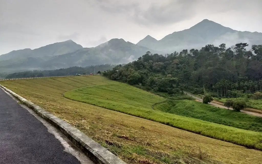
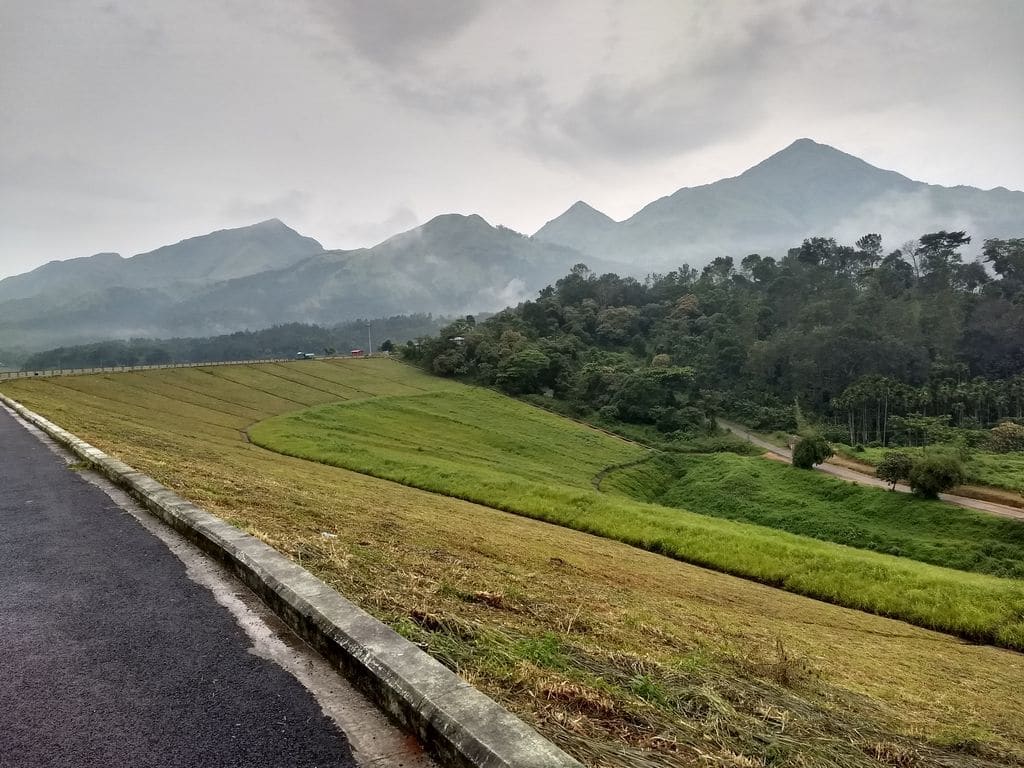
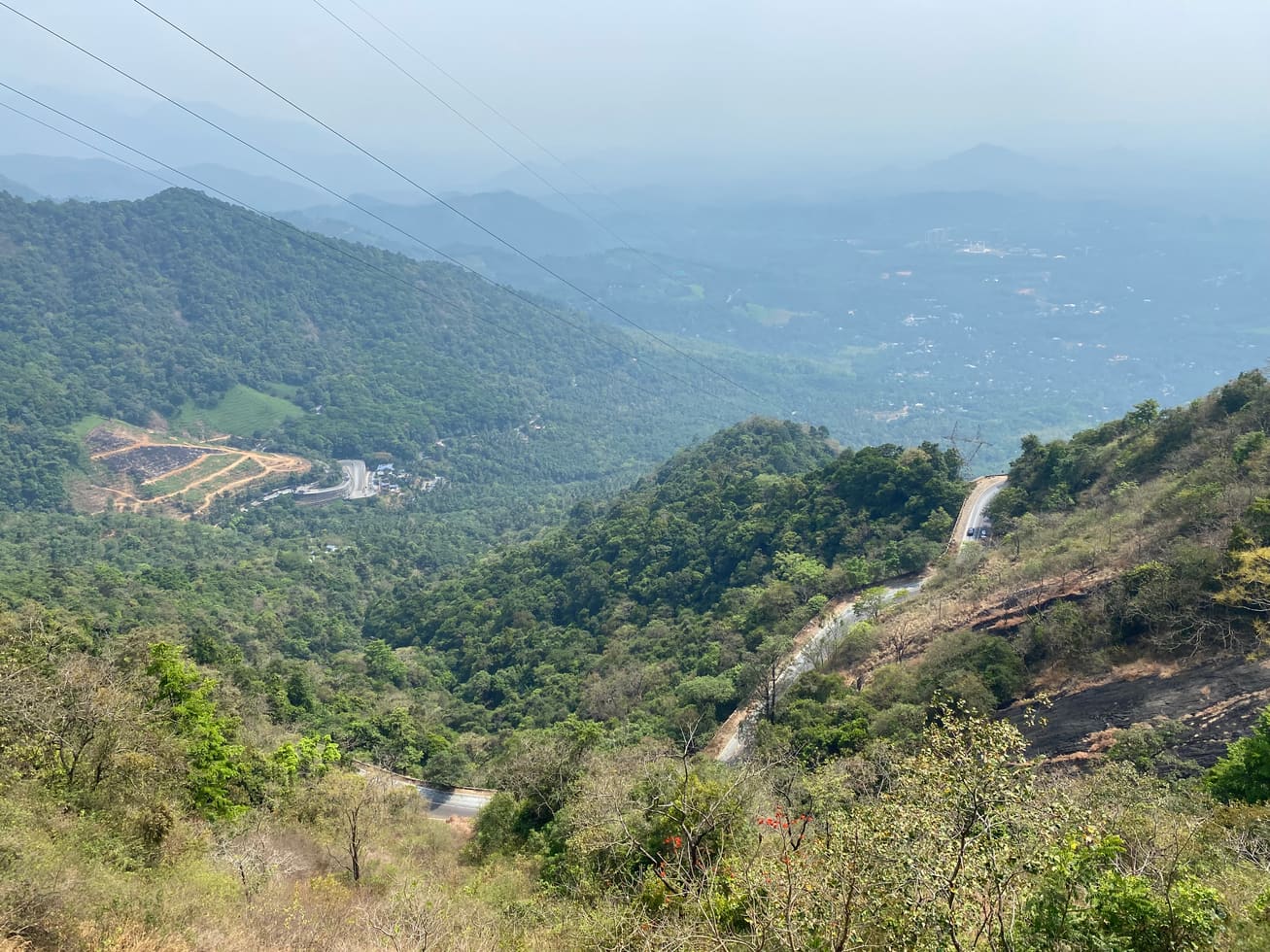
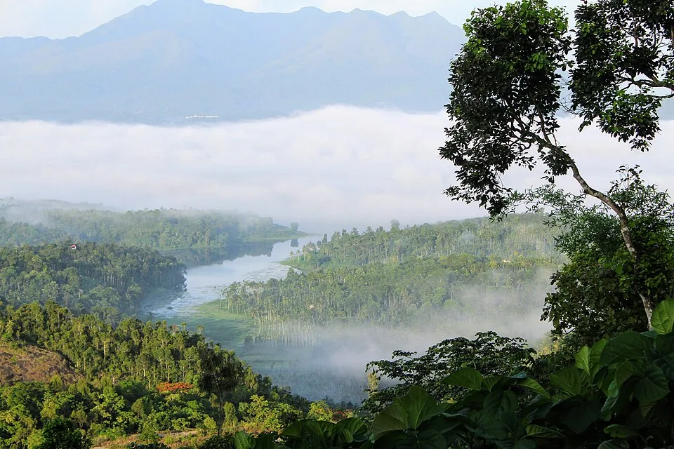
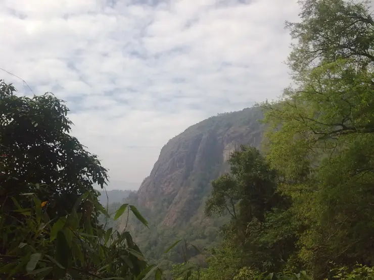
DTPC publishes views towards Banasura Sagar Dam and the surrounding valleys from above. That view binds the waterfall to the correct side of Wayanad: the same Banasura mass and reservoir landscape, not the Meppadi–Ooty road corridor attached to another waterfall of the same name.

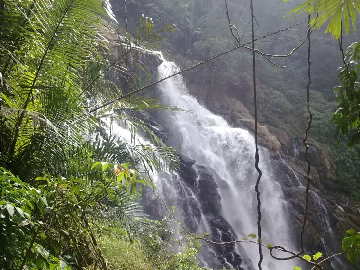
Official descriptions say water moves through dense forest and rocky terrain. Those are dependable visible subjects. A copied claim of 300 metres, 1,000 feet or “second largest in Kerala” is not: Kerala Tourism applies that cluster of facts to the Meppadi waterfall, and importing it here would merge two destinations.

DTPC does publish “over 800 ft” for this Banasura-side site. It is best treated as the tourism authority’s description, not a surveyed vertical measurement. The useful on-ground facts remain the staged access, boulders, stream and changing flow.

The name itself shifts between Meenmutty and Meenmutti. Banasuramala, Banasura and Kappikkalam also appear around it. Those are aliases and locality cues, not licence to borrow every photograph or route carrying the common Malayalam waterfall name.

Makkiyad Meenmutty lies farther north and appears as a separate entry immediately beside Banasura–Meenmutty in the Forest Department’s own tariff compilation. That adjacency is unusually strong evidence that even official lists expect readers to keep the two apart.

The waterfall ticket is not the longer trek. The Forest table separately names a Meenmutty–Kattukunnu–Anachola group trekking product. A visitor paying ordinary admission should not assume that route, guide or duration is included.

Published prices conflict. DTPC’s current visitor page gives ₹100 adult, ₹50 student and ₹200 foreign visitor; a current Forest compilation prints lower figures for the Banasura–Meenmutty line. Camera amounts and contact align, but the admission does not. The gate, reached by phone before travel, owns today’s answer.

DTPC also publishes offline booking only and a 10:00–17:00 entry window. Neither fact promises that upper tiers remain open until five. A difficult wet descent needs daylight and staff permission, so a late arrival should accept a shorter visit.

Season changes both spectacle and permission. Heavy rain gives the water more force but removes friction from rock and raises streams quickly. Post-monsoon and winter often offer the more useful compromise; late dry weather can leave an easier route and a smaller cascade.

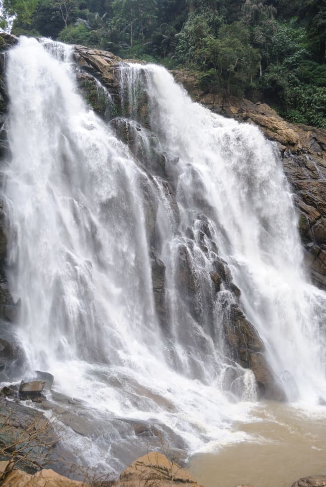
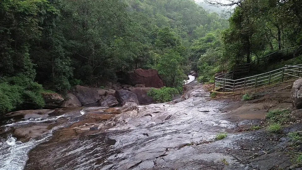
The opened hero looks down across wet rock, small cascades and a visible visitor stair-and-rail route. It shows why this is a managed climb rather than an untouched waterfall postcard, and its own Commons description identifies Padinjarathara.

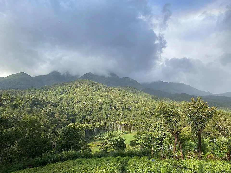
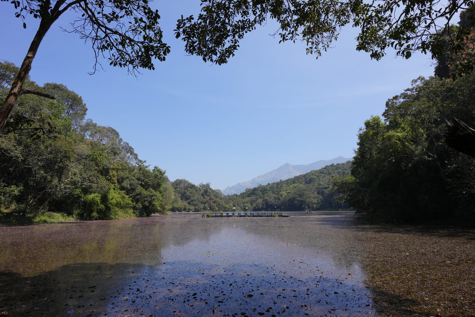
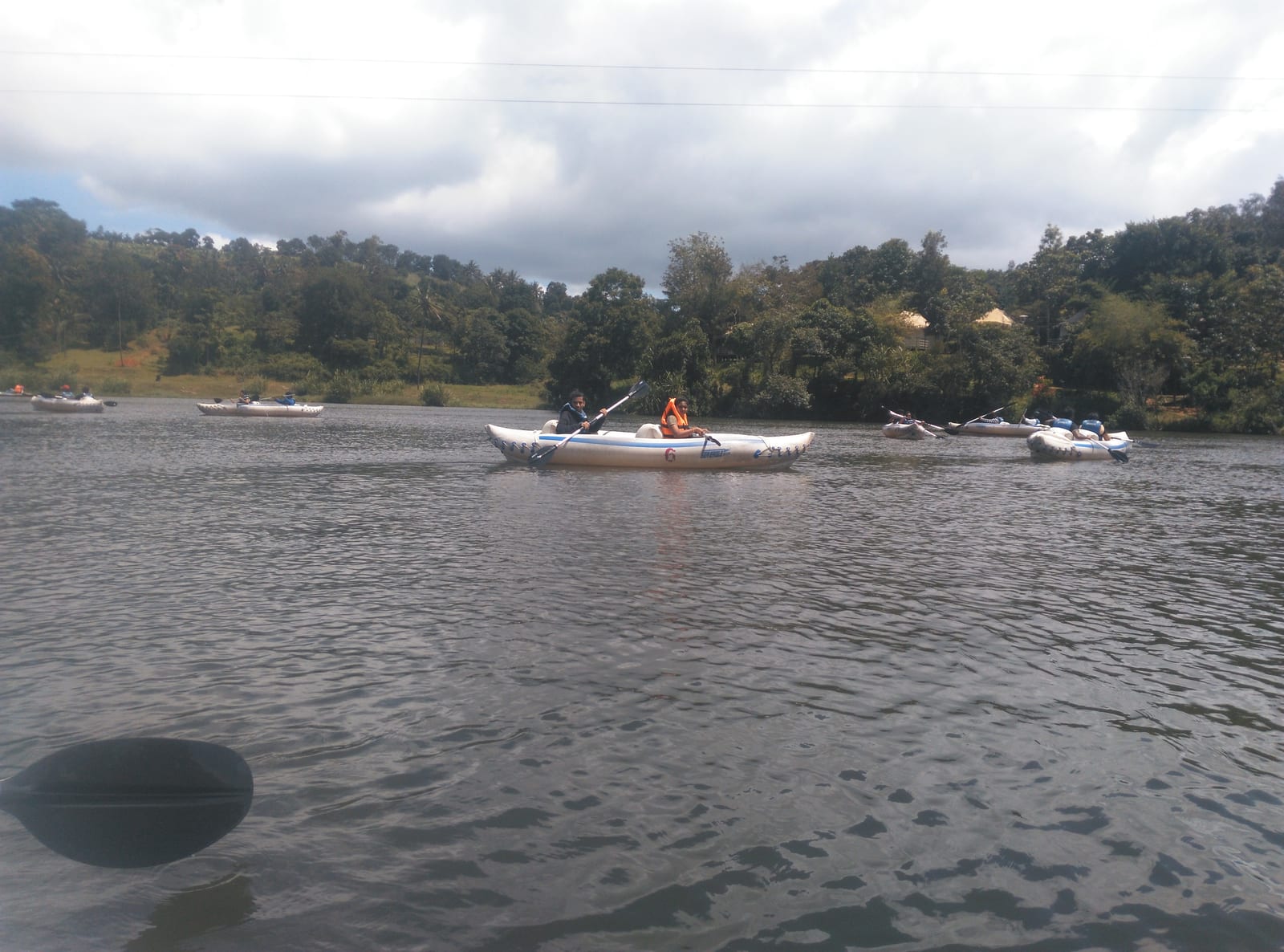
The official gallery widens the story from falling water to Banasura reservoir and hills. Those context frames do not claim that boating belongs to the waterfall ticket. They explain where the drainage goes and why the upper outlook identifies this Meenmutty.

There is no sound basis for promising swimming. The official route description foregrounds slippery rock, ropes and access between tiers, not a supervised bathing pool. Stay outside moving water unless staff explicitly designate otherwise.

The place becomes easier to understand when every promise has an owner: the parking pin owns arrival, the counter owns current price and open tiers, the waterfall route owns the staged climb, and the separate group trek owns Kattukunnu and Anachola. One shared name no longer has to do all the work.

Sound changes before the view does. Water moving through a confined rock channel can be heard while foliage still hides the drop, then becomes louder as the route reaches an opening. That approach is part of the experience: the waterfall arrives by degrees rather than appearing as one distant white line from a road.

The boulders also explain the shape of the flow. Water divides around protruding rock, gathers in grooves and spreads into pale sheets on smoother faces. After rain those same surfaces lose friction. The feature that makes the cascade visually complex is therefore the feature that makes higher access conditional.

Upper views towards the reservoir do not turn the waterfall into an extension of Banasura Sagar Dam. The dam has its own entrance, activities and operating decisions. Pairing both in one day works because they reveal connected water at different scales, not because one ticket or path contains the other.

A family plan should be written around the turnaround rather than the summit of the route. Older travellers, children and anyone uncertain on wet stone can make the first tier the destination while stronger members remain with the same group or follow staff direction. Splitting up without a clear meeting point creates needless risk in a noisy landscape.

Photography works best from the managed line. A railing, stair or rope in the frame is not visual clutter to hide; it records how people are allowed to meet the water. The official and licensed images used here preserve those structures because removing them would falsely convert a supervised attraction into empty wilderness.

The parking-to-first-tier distance also changes how the day should be packed. This is not a remote expedition requiring a summit load, but water and personal medicine still need to leave the car with you. Buying a ticket and then discovering the bottle is behind the locked vehicle wastes the easiest part of a time-limited visit.

Offline ticketing makes cash worth carrying even when a phone shows a strong signal in Kalpetta. The published camera charges are separate from admission, so a visitor arriving with dedicated equipment should ask before joining the path. The amount matters less than settling it at the counter rather than halfway up the route.

The operating window begins at ten in DTPC’s current page. An early drive can still be useful for reaching Kappikkalam without rushing, but it does not authorise entry before staff open the site. Likewise, a gate that remains open in the afternoon may stop sending people towards higher tiers long before the published closing time.

Rain should be read at more than one scale. A dry morning at the parking area does not prove that water has not risen upstream, and a shower over Kalpetta does not establish conditions on the Banasura flank. The counter and staff on the route hold more current evidence than a district weather icon.

The return to Kalpetta is a hill-road journey, not the final few minutes of the walk. Wet clothes, tired legs and fading light make that drive less comfortable, while a dam stop can expand unexpectedly when boating queues are long. Choosing one main activity and one optional pairing produces a better day than promising every Banasura attraction.

For visitors unable to use boulder steps, the honest alternative is not to describe the first tier as universally accessible. Ask about the current surface from parking, handrails, resting points and the visible view available before the climb. Conditions may allow a worthwhile shorter experience without pretending the whole route is wheelchair-ready.

Children need an adult focused on movement rather than photography. Water noise makes shouted instructions harder to hear, and uneven groups stretch apart on steps. Keeping the party compact, placing the least confident walker away from exposed edges and turning before fatigue are simple decisions with more value than reaching a numbered tier.
Legend & myth

The Banasura name belongs to a Puranic tradition around the asura king and the surrounding hills; it is not documented history of the waterfall. More importantly for navigation, this Meenmutty is not the 300-metre Meppadi waterfall or Makkiyad Meenmutty.

Read the full history of Banasura Meenmutty Waterfalls 109 more words

History

Official records manage Banasura–Meenmutty and Makkiyad Meenmutty as separate destinations.

The Forest Department lists a separate Meenmutty–Kattukunnu–Anachola group trek in addition to ordinary waterfall entry.

No authoritative opening or construction date was found for this waterfall visit, so the 2003 date attached to Makkiyad is not transferred here.

Current DTPC and Forest publications disagree on admission, showing why a dated tariff must remain attributed.

Why visit

Meet the water through three progressively harder route decisions.

See the Banasura reservoir landscape from the waterfall’s correct flank.

Read rock, stream and managed access instead of chasing an unsupported height ranking.

Combine a waterfall visit with the dam while keeping tickets and activities separate.

What to expect

Highlights

  • A forest-and-rock waterfall route on the Banasura side of Wayanad.
  • Three successive access decisions rather than one uniform promenade.
  • Upper views towards Banasura Sagar Dam and the surrounding valleys when that section is open.
  • A precise Kappikkalam arrival point that prevents navigation to another Meenmutty.
Getting there

How to visit

  • Call the published contact before travel, especially after rain, and ask which tiers are open.
  • Navigate to the named Meenmutty Water Falls parking at Kappikkalam; the map does not point to the waterfall lip.
  • Buy the offline ticket at the site and follow the managed route only as far as staff permit.
  • Book the Meenmutty–Kattukunnu–Anachola trek separately if that longer group route is your purpose.

Distance by road

  • Kozhikode71 km
  • Mysuru138 km
  • Coimbatore210 km
  • Mangaluru254 km
  • Kochi256 km

Road km to Wayanad; ghat roads and traffic vary — allow extra.

Timing

Best time

Post-monsoon and winter usually offer a practical compromise between flow and footing. Heavy monsoon can close upper access; late dry weather can make the cascade smaller.

Weather in Banasura Meenmutty WaterfallsSeasonal guide

Live forecast loads in your browser.

Today at Banasura Meenmutty Waterfalls
Sunrise6:15 am
Sunset6:18 pm
Golden hour best light5:18 pm–6:18 pm
Blue hour after sunset6:18 pm–6:43 pm
Sun sets toward compass bearingW · 268°
Moon tonight🌖 Waning gibbous · 90%

Sunset is in about 2 hours.

South-west monsoon. June to September brings heavy rain to Kerala. Trails, falls and ghat roads can be slippery, swollen or closed at short notice, and forest departments sometimes suspend access. Check locally on the day before you travel.

Check the official alert before you travel. Kerala’s beaches, waterfalls and trekking routes close at short notice during heavy rain, and district alert levels change day to day. We do not publish an alert level of our own — read it from the state authority: Kerala State Disaster Management Authority, or the district control room on 1077.

Sun and moon are calculated for this location and shown in IST. Photography windows are the hour around sunrise and sunset; the sunset bearing is degrees clockwise from true north. Moon phase is accurate to about half a day.

Visitor notes

  • DTPC currently publishes 10:00–17:00 and ₹100 adult entry, but a Forest tariff table differs; confirm the live gate amount.
  • The first, second and third tier approaches become progressively harder.
  • No official source establishes this site as part of Wayanad Wildlife Sanctuary.
  • The frequently copied 300 m and 1,000 ft claims refer to another Wayanad Meenmutty; do not use them here.
Safety

Good to know

  • Wet boulders, steps and rope-assisted stream crossings are not step-free.
  • Never enter water or climb beyond a closure, barrier or staff instruction.
  • Keep children close and turn back before terrain exceeds the group’s balance or footwear.
  • Leave before the operating window ends rather than planning a sunset descent.
Stay · eat · do · rent · see · shop

Stays, food & things to do near Banasura Meenmutty Waterfalls

Verified hotels, homestays, restaurants, experiences, sights, shops and rentals around Banasura Meenmutty Waterfalls — commission-free, with direct contact. Filter by what you need.

10 things to do near Banasura Meenmutty Waterfalls

Haritagiri Ayurvedic Village Kalpetta — Ayurveda and wellness in KalpettaPhoto: Kerala Tourism
Verified
Ayurveda and wellness · Kalpetta
Haritagiri Ayurvedic Village Kalpetta
16.9 km · ~28 min by cab

Hotel Haritagiri Ayurveda treatment facility on Kalpetta Main Road with Kerala Tourism evidence. Ayurveda, Spa, Wellness.

Directions Commission-freeView details
Green Gates Ayurvedic Spa Kalpetta — Ayurveda and spa in KalpettaPhoto: Kerala Tourism
Verified
Ayurveda and spa · Kalpetta
Green Gates Ayurvedic Spa Kalpetta
16.9 km · ~28 min by cab

Kalpetta town Ayurveda/spa facility inside Green Gates Hotel with provider-page evidence. Ayurveda, Spa, Wellness.

Directions Commission-freeView details
Wayanad Adventure Camp Karlad Lake — Adventure camp in KalpettaPhoto: Kerala Tourism
Verified
Adventure camp · Kalpetta
Wayanad Adventure Camp Karlad Lake
5.5 km · ~14 min by auto

Kerala Tourism source for DTPC-run Karlad Lake adventure activities. Karlad Lake, Adventure camp, DTPC Wayanad.

Directions Commission-freeView details
Responsible Tourism Mission Wayanad — Responsible tourism in KalpettaPhoto: Kerala Tourism
Verified
Responsible tourism · Kalpetta
Responsible Tourism Mission Wayanad
17.2 km · ~29 min by cab

Kerala Tourism source for Wayanad village-life and responsible-tourism experiences. Responsible tourism, Village life, Tribal craft.

Directions Commission-freeView details
Taxi service · Kalpetta
Wayanad Cab Kalpetta

Wayanad Cab is a Kalpetta-based taxi provider for airport pickups, railway transfers, sightseeing tours, local travel and outstation routes. Wayanad cab, Airport transfer, Sightseeing taxi.

Directions Commission-freeView details
Wayanad Auto Taxi Kalpetta — Taxi service in KalpettaPhoto: Wayanad Auto Taxi
Verified
Taxi service · Kalpetta
Wayanad Auto Taxi Kalpetta
17.1 km · ~29 min by cab

Wayanad Auto Taxi is a Kalpetta-based local taxi and itinerary support provider for pickups, sightseeing and Wayanad road transfers. Kalpetta taxi, Wayanad transport, Sightseeing.

Directions Commission-freeView details
Banasura Sagar Dam DTPC Wayanad — Dam and reservoir in KalpettaPhoto: KSEB
Verified
Dam and reservoir · Kalpetta
Banasura Sagar Dam DTPC Wayanad
2.1 km · 26 min walk

Banasura Sagar Dam is a major Kalpetta-side Wayanad reservoir attraction with official DTPC contact, entry-time and Kerala Tourism destination evidence. Banasura Sagar Dam, Padinjarathara, Reservoir.

Directions Commission-freeView details
Verified
Bus station and public transport · Kalpetta
KSRTC Kalpetta Bus Station
17.6 km · ~29 min by cab

Official KSRTC Kalpetta branch contact for Wayanad bus-route planning. Public transport · Bus, KSRTC, Transport.

Directions Commission-freeView details
Verified
Taxi service · Kalpetta
Banasura Cabs Wayanad
3.9 km · ~10 min by auto

Padinjarathara/Kalpetta-side Wayanad taxi service for sightseeing, airport transfers and outstation rides.

Directions Commission-freeView details
Verified
Tourist information center · Kalpetta
DTPC Wayanad Tourist Information
17.1 km · ~29 min by cab

Official Wayanad district tourism office at Civil Station, Kalpetta North. Official information · DTPC Wayanad, Official tourism, District planning.

Directions Commission-freeView details

Book with the place itself. India’s cyber-crime coordination centre warned in April 2025 that convincing copies of hotel and pilgrimage booking sites are being pushed through sponsored search and social ads, taking payment for rooms the property never hears about. Every listing here links to the business’s own contact details and its own Google or Bing profile — we take no commission and sit in nobody’s payment path. If a booking page reached you through an ad, check the address bar against the property’s own site before you pay. Fraud can be reported on cybercrime.gov.in or on 1930.

Ranked guides

Top experiences around Kalpetta

13 more places around Kalpetta. Open a guide to plan the visit and onward journey.

damBanasura Sagar Dam

2.1 km · 26 min walk

Large earth-fill dam with mountain views and reservoir activities, usually planned from Kalpetta or Vythiri with current activity checks.

trekBanasura Hills

1.2 km · 15 min walk

Highland trek and viewpoint landscape above the Banasura reservoir side; access and permissions should be checked locally.

waterfallMeenmutty Waterfalls

The closed Meppadi–Vaduvanchal waterfall, also listed as Meenmutty Falls trek. The map marks Vaduvanchal bus stand for town orientation, not an open waterfall entrance. Banasura Meenmutty is a different site.

viewpointLakkidi View Point

Ghat-road viewpoint at the entrance to Wayanad from the Kozhikode side.

backwaterPookode Lake

17.6 km · ~29 min by cab

Freshwater lake near Vythiri/Lakkidi, commonly paired with the ghat entrance and En Ooru side.

damKarapuzha Dam

Reservoir and garden-side attraction near the Ambalavayal/Kalpetta side of Wayanad.

backwaterKarlad Lake

6.5 km · ~16 min by auto

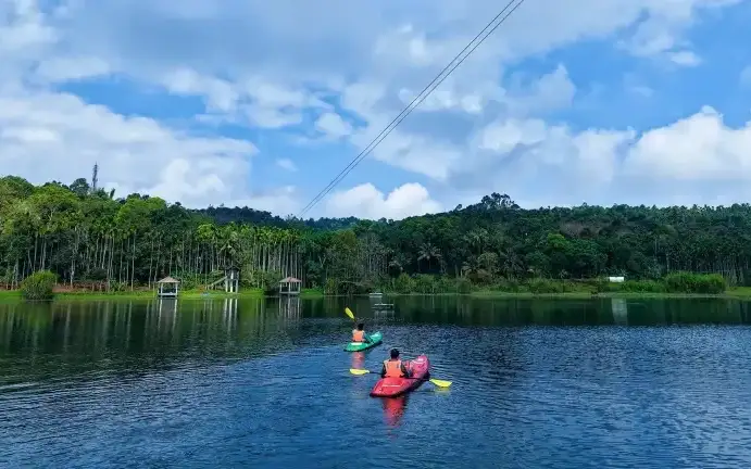
Banasura-side adventure lake used for kayaking, zipline and family activity planning when open.

natureCoffee Plantations around Kalpetta

17.2 km · ~29 min by cab

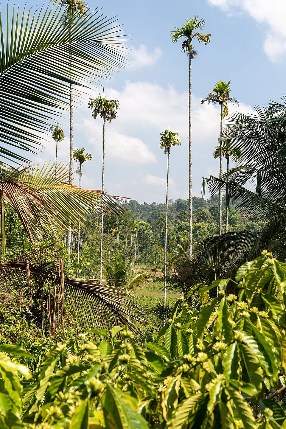
A distributed, working coffee landscape rather than one ticketed attraction: arrange an estate walk with a host, farm or accredited operator, and use Kalpetta town as the honest visitor base.

jainPuliyarmala Jain Temple

16.5 km · ~28 min by cab

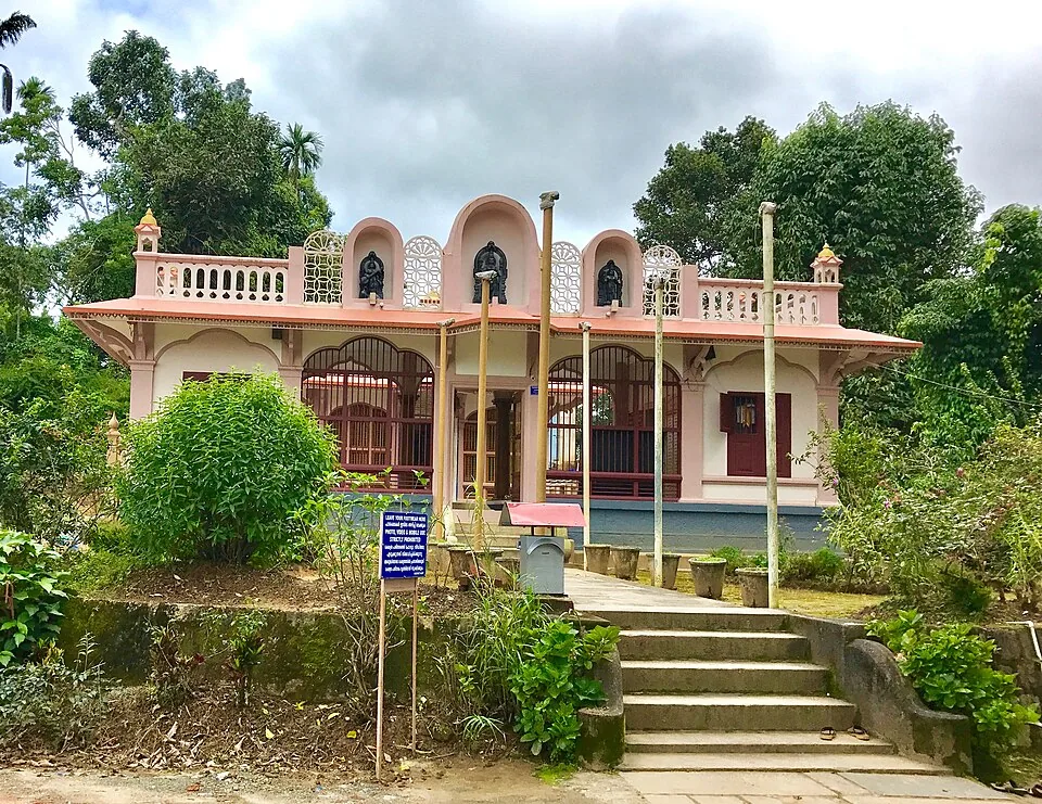
The Anantnath Swami temple at Puliyarmala near Kalpetta — the quieter, living Jain shrine of Wayanad, often paired with the conserved basti at Sulthan Bathery.

jainJain Temple

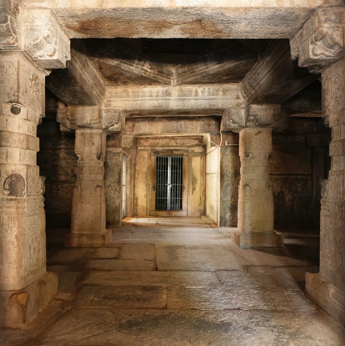
Sulthan Bathery Jain temple with old stone architecture and east-Wayanad heritage context.

viewpointKurumbalakotta

9.6 km · ~16 min by cab

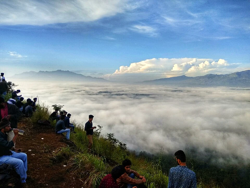
A walked hill viewpoint in the Kottathara area of Wayanad, known for dawn cloud below the ridge and wide daylight views over fields and wooded hills.

mosqueVarambetta Mosque

2.7 km · ~7 min by auto

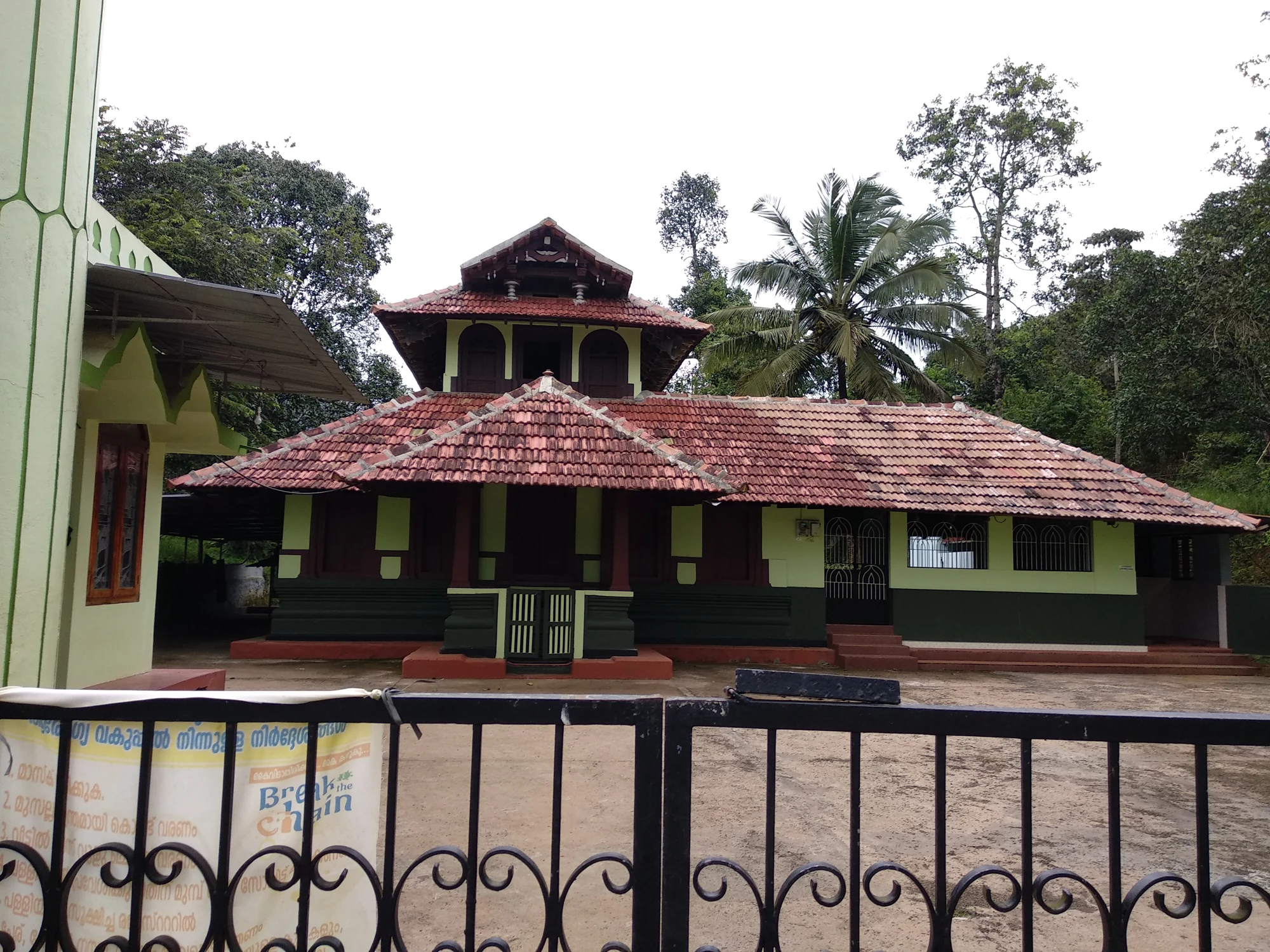
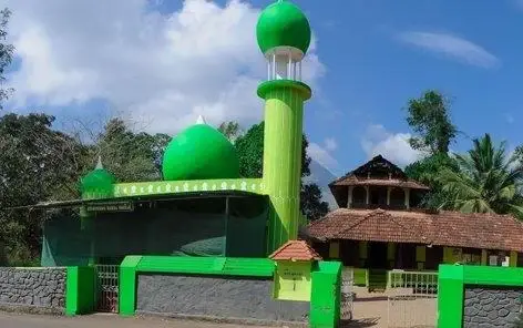
The Varambetta mosque and maqaam complex near Padinjarathara in Wayanad, with a tiled timber shrine, a neighbouring domed prayer building and a documented annual Nercha gathering.

churchPallikkunnu Church

12.7 km · ~21 min by cab

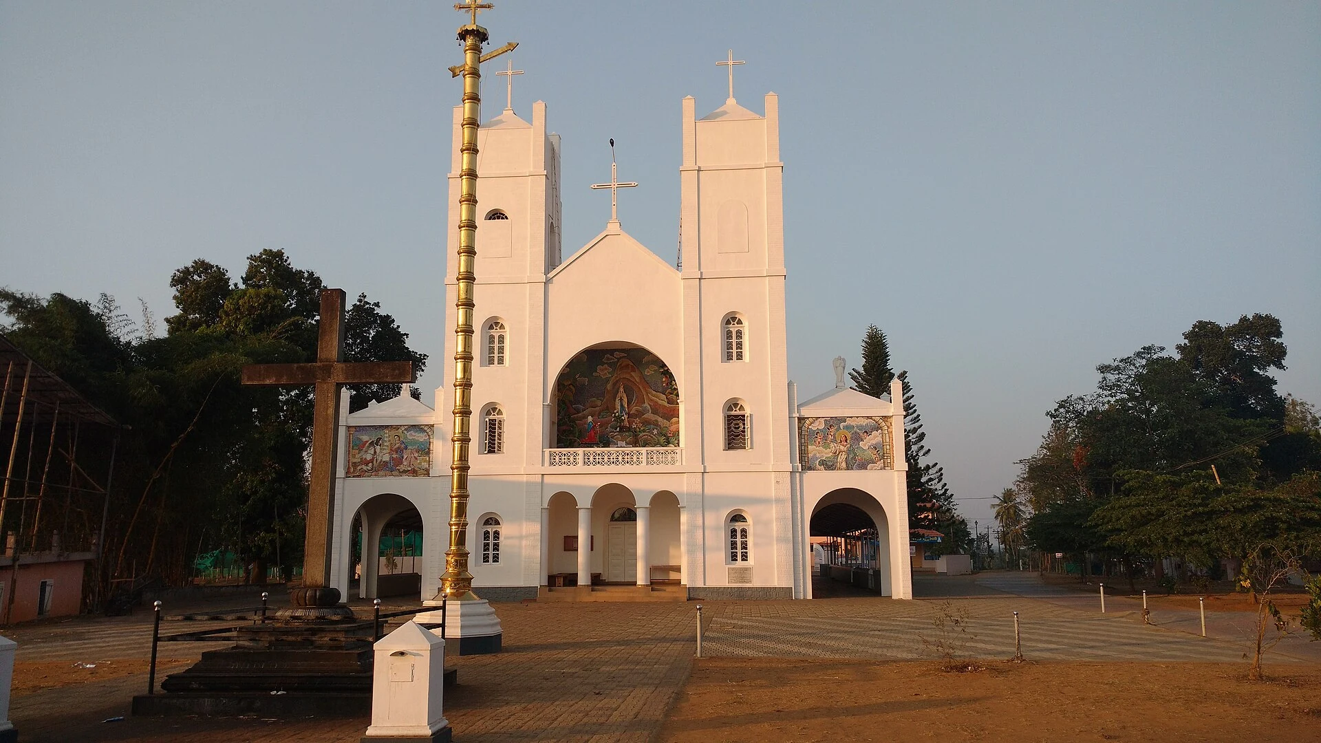
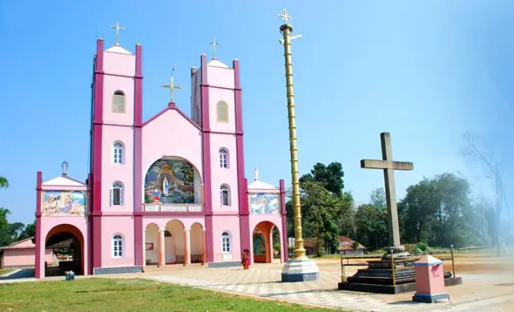
Our Lady of Lourdes shrine at Pallikkunnu in Wayanad, a Latin Catholic church of the Archdiocese of Calicut known for its twin-tower facade, February feast and local devotional customs.

Roampedia is commission-free — own or know a stay, eatery, guide or shop near Banasura Meenmutty Waterfalls? List it and it appears here once verified.

Add a nearby business
Before you go

Banasura Meenmutty Waterfalls — at a glance

TimingsDTPC Wayanad currently publishes 10:00–17:00. Ask at the counter which tiers are open and when the last ascent is allowed; a closing time does not make a late climb safe.
Best timePost-monsoon and winter balance visible flow with easier access. Heavy rain makes boulders, steps and the stream crossing dangerous and can close upper tiers; late dry season can reduce the waterfall.
Entry price
Indian adult
₹100

Fees change without notice. Check the current rate at the counter.

Entry: DTPC Wayanad currently publishes ₹100 for an adult, ₹50 for a student and ₹200 for a foreign visitor, with still camera ₹53 and video ₹301. A Forest Department table publishes lower amounts, so confirm the gate price before travel.

Parking: Use the named visitor parking at Kappikkalam and continue only on the open managed route.

Getting here

How to reach Banasura Meenmutty Waterfalls

  • ✈︎ By air DTPC lists Calicut International Airport at about 99 km. The onward route is entirely by road and is sensitive to ghat traffic and heavy-rain restrictions.
  • 🚆︎ By train DTPC lists Kozhikode railway station at about 91 km. Continue by road across the Wayanad ghat to Kalpetta and Kappikkalam; the railway distance is not a transfer time.
  • 🚗︎ By road Drive to the official visitor parking at Kappikkalam and use the managed walking route from there. Do not search only for “Meenmutty”: that name can route to a different Wayanad waterfall or to another district.
  • 🚌︎ By bus DTPC measures the destination at about 24 km from Kalpetta bus stand. Public transport does not remove the last-mile problem; confirm the nearest current stop and arrange the return before relying on a bus for a late visit.
Getting back

If you are travelling by bus or ferry, check the return service with the operator before setting out. Leave time to reach the stop or jetty after your visit.

Ask at the bus stand for the time of the last service back, not the next one. If you miss it, an auto or app cab is the fallback — agree the fare before you get in.

Plan

Good to know

  • Ask which of the three described tiers is open that day.
  • The first tier is a short walk; higher access uses steps over boulders and, when permitted, a rope-assisted stream crossing.
  • Carry water, closed grippy shoes and cash; do not plan on safe bathing.
  • Children and visitors with limited balance should stop before terrain exceeds their ability.
Getting around Banasura Meenmutty Waterfalls

If you need step-free access, contact the site before travelling. Ask about a level entrance, steps along the route, the nearest drop-off point, seating and accessible toilets.

If you need help at Banasura Meenmutty Waterfalls
112All emergencies (police · fire · medical)The single number to call in any emergency (ERSS).

Emergency numbers are verified against official government and state tourism sources. 112 works anywhere in India.

Nearby

What’s near Banasura Meenmutty Waterfalls

trekBanasura Hills

Highland trek and viewpoint landscape above the Banasura reservoir side; access and permissions should be checked locally.

1.2 km · 15 min walk · straight line
damBanasura Sagar Dam

Large earth-fill dam with mountain views and reservoir activities, usually planned from Kalpetta or Vythiri with current activity checks.

2.1 km · 26 min walk · straight line
mosqueVarambetta Mosque

The Varambetta mosque and maqaam complex near Padinjarathara in Wayanad, with a tiled timber shrine, a neighbouring domed prayer building and a documented annual Nercha gathering.

2.7 km · ~7 min by auto · straight line
backwaterKarlad Lake

Banasura-side adventure lake used for kayaking, zipline and family activity planning when open.

6.5 km · ~16 min by auto · straight line
viewpointKurumbalakotta

A walked hill viewpoint in the Kottathara area of Wayanad, known for dawn cloud below the ridge and wide daylight views over fields and wooded hills.

9.6 km · ~16 min by cab · straight line
museumAchoor Tea Museum

Harrisons Malayalam’s three-storey tea museum in its 1911 former factory at Achoor, with separately scheduled museum, tasting, working-factory and garden visits.

11.9 km · ~20 min by cab · straight line
churchPallikkunnu Church

Our Lady of Lourdes shrine at Pallikkunnu in Wayanad, a Latin Catholic church of the Archdiocese of Calicut known for its twin-tower facade, February feast and local devotional customs.

12.7 km · ~21 min by cab · straight line
templeValliyoorkavu Bhagavathy Temple

Important Mananthavady-side Bhagavathy temple known for festival and local cultural context.

15.5 km · ~26 min by cab · straight line
heritagePazhassi Smarakam

Pazhassi Raja’s memorial and the Kerala Archaeology Department museum at Mananthavady’s Hospital Hill, with four galleries connecting the resistance leader, Wayanad’s communities and the district’s material history.

15.5 km · ~26 min by cab · straight line
jainPuliyarmala Jain Temple

The Anantnath Swami temple at Puliyarmala near Kalpetta — the quieter, living Jain shrine of Wayanad, often paired with the conserved basti at Sulthan Bathery.

16.5 km · ~28 min by cab · straight line
natureCoffee Plantations around Kalpetta

A distributed, working coffee landscape rather than one ticketed attraction: arrange an estate walk with a host, farm or accredited operator, and use Kalpetta town as the honest visitor base.

17.2 km · ~29 min by cab · straight line
backwaterPookode Lake

Freshwater lake near Vythiri/Lakkidi, commonly paired with the ghat entrance and En Ooru side.

17.6 km · ~29 min by cab · straight line

All 9 places to visit in Kalpetta →

On the map

Where Banasura Meenmutty Waterfalls is

Good to know

Banasura Meenmutty Waterfalls — frequently asked

Which Meenmutty waterfall is this?

The Banasura-side falls at Kappikkalam near Padinjarathara, about five kilometres from Banasura Sagar Dam—not Meppadi Meenmutty or Makkiyad Meenmutty.

How difficult is the route?

DTPC describes a short walk to tier one, steps over boulders to tier two and a difficult rope-assisted stream crossing towards tier three.

Are all three tiers always open?

No guarantee is published. Ask at the counter; rain and water conditions can close upper access.

What is the current entry fee?

DTPC publishes ₹100 adult, ₹50 student and ₹200 foreign visitor, but a Forest table differs. Confirm with +91 8547602722.

Does entry include the longer trek?

No. Meenmutty–Kattukunnu–Anachola is listed as a separate group trekking product.

Where does the map point?

To the named visitor parking at Kappikkalam, not the waterfall lip or upper tier.
Can visitors swim?

Do not assume so. The official description warns through its slippery-rock and rope-assisted terrain; follow staff instructions and stay out of moving water.

When is the best time to visit Banasura Meenmutty Waterfalls?

Post-monsoon and winter usually offer a practical compromise between flow and footing. Heavy monsoon can close upper access; late dry weather can make the cascade smaller.

What are the entry fee and timings at Banasura Meenmutty Waterfalls?

Entry: DTPC Wayanad currently publishes ₹100 for an adult, ₹50 for a student and ₹200 for a foreign visitor, with still camera ₹53 and video ₹301. A Forest Department table publishes lower amounts, so confirm the gate price before travel. Timings: DTPC Wayanad currently publishes 10:00–17:00. Ask at the counter which tiers are open and when the last ascent is allowed; a closing time does not make a late climb safe.

How do I reach Banasura Meenmutty Waterfalls?

Call the published contact before travel, especially after rain, and ask which tiers are open. Navigate to the named Meenmutty Water Falls parking at Kappikkalam; the map does not point to the waterfall lip. Buy the offline ticket at the site and follow the managed route only as far as staff permit. Book the Meenmutty–Kattukunnu–Anachola trek separately if that longer group route is your purpose.

How much time do I need for Banasura Meenmutty Waterfalls?

About 1.5–3 hours for the waterfall route, depending on open tiers and walking pace; longer trekking products require a separate booking and day plan.

What else is near Banasura Meenmutty Waterfalls?

Nearby you can pair Banasura Hills (1.2 km), Banasura Sagar Dam (2.1 km), Varambetta Mosque (2.7 km), Karlad Lake (6.5 km).

What should I know before visiting Banasura Meenmutty Waterfalls?

Wet boulders, steps and rope-assisted stream crossings are not step-free. Never enter water or climb beyond a closure, barrier or staff instruction. Keep children close and turn back before terrain exceeds the group’s balance or footwear. Leave before the operating window ends rather than planning a sunset descent.

Read before you go

Banasura Meenmutty Waterfalls guides, stories & itineraries

Stories & history of Banasura Meenmutty Waterfalls

Written about Banasura Meenmutty Waterfalls itself — its history, its legends and the arguments about them.

Around Kalpetta

These guides explore Kalpetta and the surrounding area. Choose a visit that fits your interests, allowing separately for travel between stops.

Kerala-wide guides & itineraries

Route-level itineraries and practical guides for the rest of Kerala.

See all 56 Wayanad guides & stories →

Image credits

Photographs: Allen Pookolas (CC BY-SA 4.0), Kerala Tourism (Official tourism photograph). Wikimedia Commons.