What to expect
Highlights
- Reservoir and dam views at Bhoothathankettu Dam
- Engineering landmark or garden/viewpoint stop
- Pair with nearby hill, forest or town routes
A reservoir and dam at the confluence of the Periyar’s tributaries near Kothamangalam, on the edge of the Thattekkad forests, with forest-and-reservoir trekking around the barrage and a DTPC boat jetty.
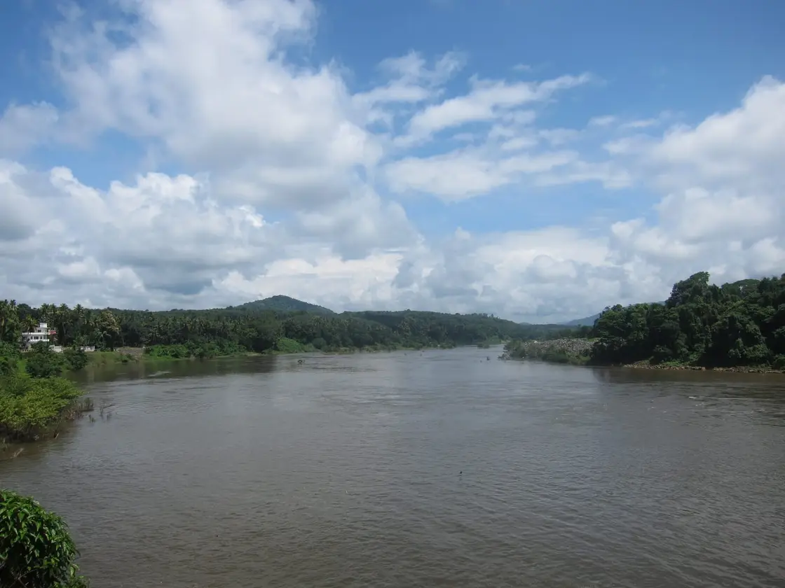
Bhoothathankettu Dam belongs under Thattekkad, one of the practical travel bases in Ernakulam district. Use Thattekkad for stays, food, local transport and operators, then plan this place as a focused stop rather than an isolated pin.
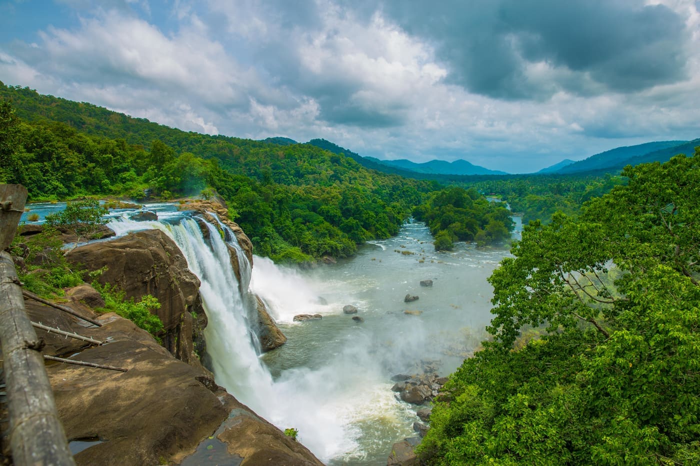
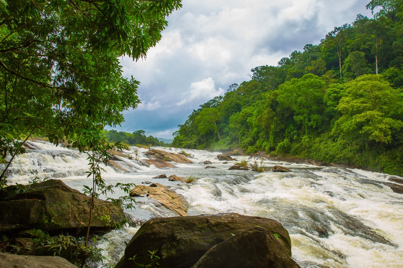
The name means, more or less, “the demons’ dam”. A barrage sits on the Periyar near Kothamangalam at the confluence of its tributaries, on the edge of the Thattekkad forests — but the name is older than the barrage, and belongs to the tumble of boulders downstream that half-blocks the river. Malayalam tradition says the boulders are an unfinished dam, abandoned overnight by demons who were tricked into thinking dawn had come. The geological record has a duller answer, and both are worth carrying.
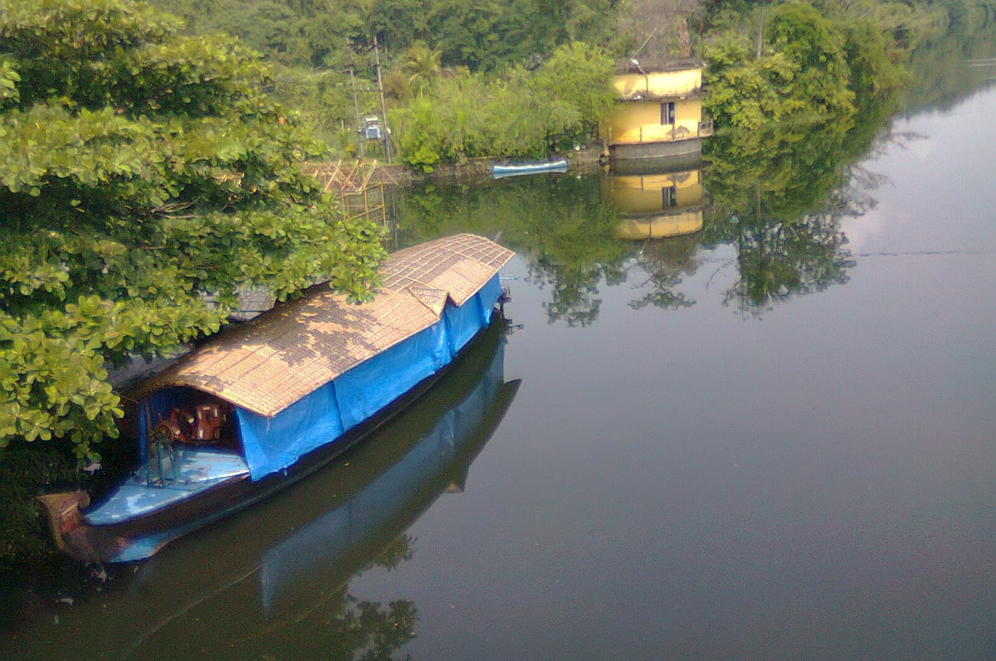
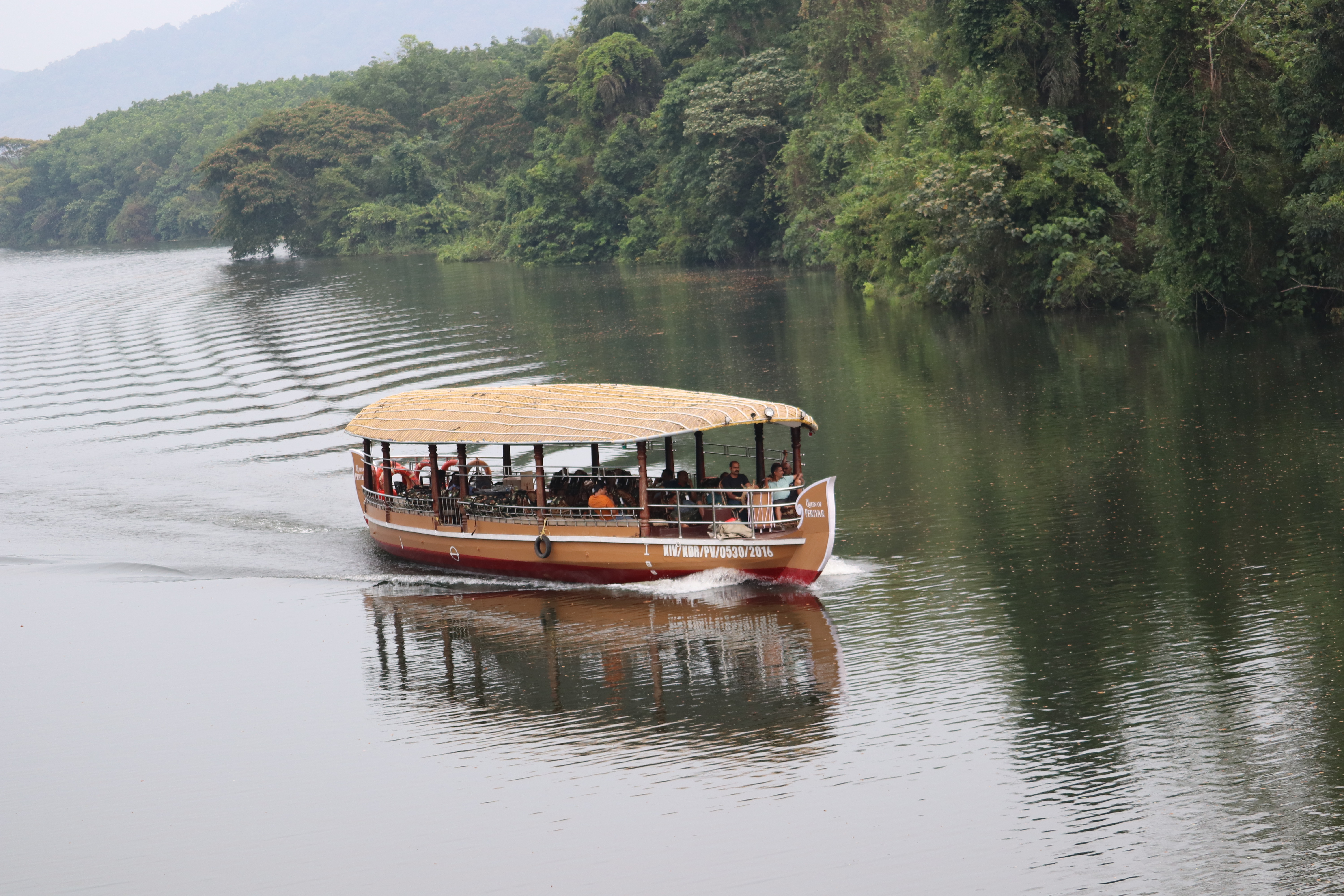
What you actually visit is a reservoir, a barrage and a stretch of forest river. There is a DTPC boat jetty near the dam running roughly hour-long motorboat trips, extendable if you ask; there are forest walks along the bank; and there is a children’s park, which tells you plainly that this is a Kerala family picnic spot as much as a wilderness site.
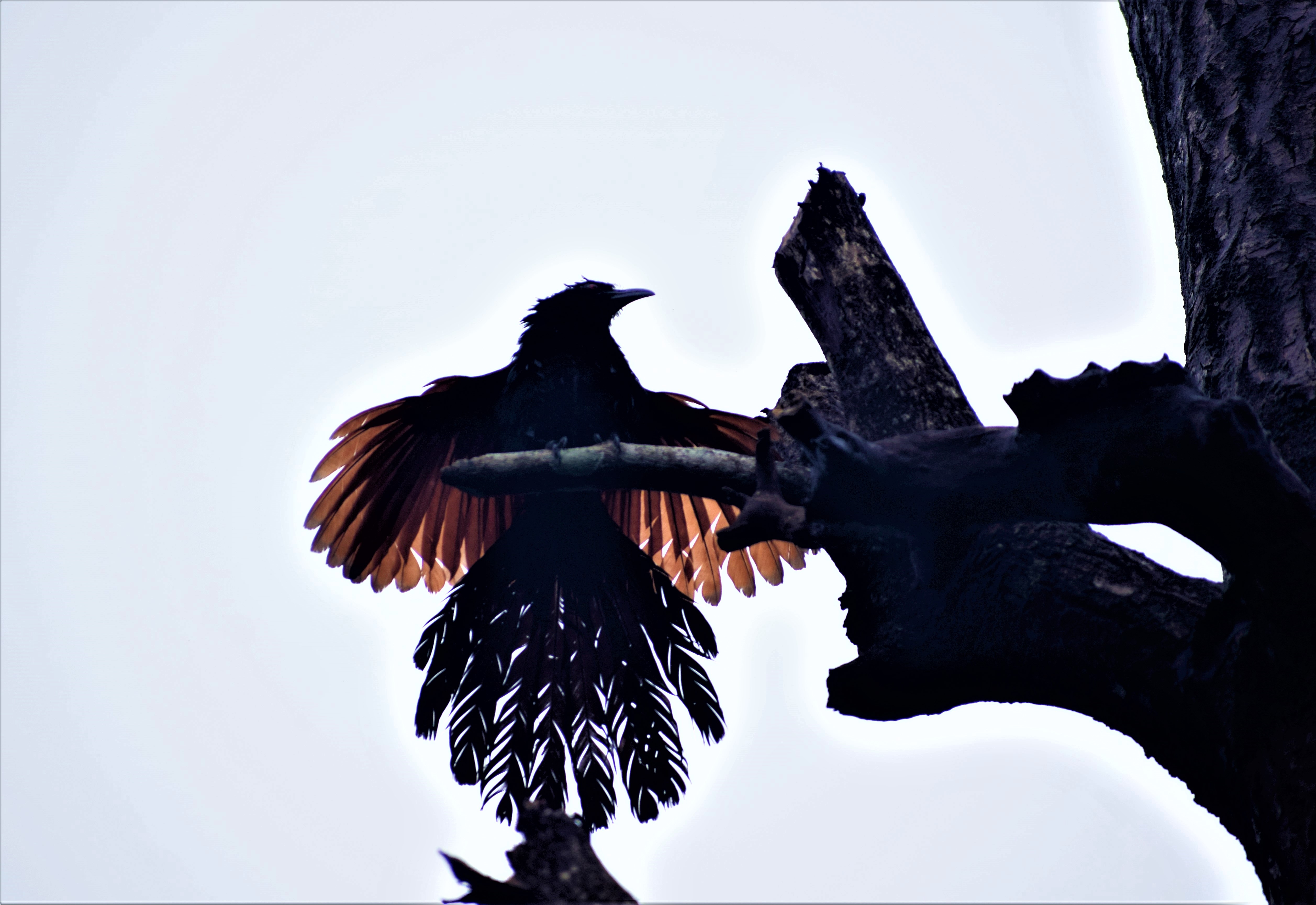
The setting is the real draw. This is the western edge of the Thattekkad forest belt, so the birdlife on the water and in the riverside trees is well above what a dam visit normally offers — it is a short drive from the Salim Ali sanctuary and shares its habitat.
Go early. The light on the reservoir is best in the first hours, the boats are less crowded, and by late morning in the dry months it gets hot on open water with no shade.
Do not confuse this with a hill station or a trek. The walking here is gentle and short; the trip is a boat, a barrage, a view and a picnic, and it fits comfortably into half a day from Kochi or a morning from Thattekkad.
One thing worth knowing before you set out: this is not a hill station, not a trek and not a wildlife safari, and treating it as any of those guarantees a flat afternoon. The walking is gentle and short, and there is no big-animal spectacle. What there is instead is a barrage, a reservoir, a boulder field with a five-hundred-year-old legend attached to it, an unusually good bird list for a dam, and a couple of hours of genuine quiet on the water — which is a better half-day than most things within an hour of Kochi.
Boat only with the authorised operators at the jetty. The Periyar is a dammed river and its level is managed, which means it can change without warning.
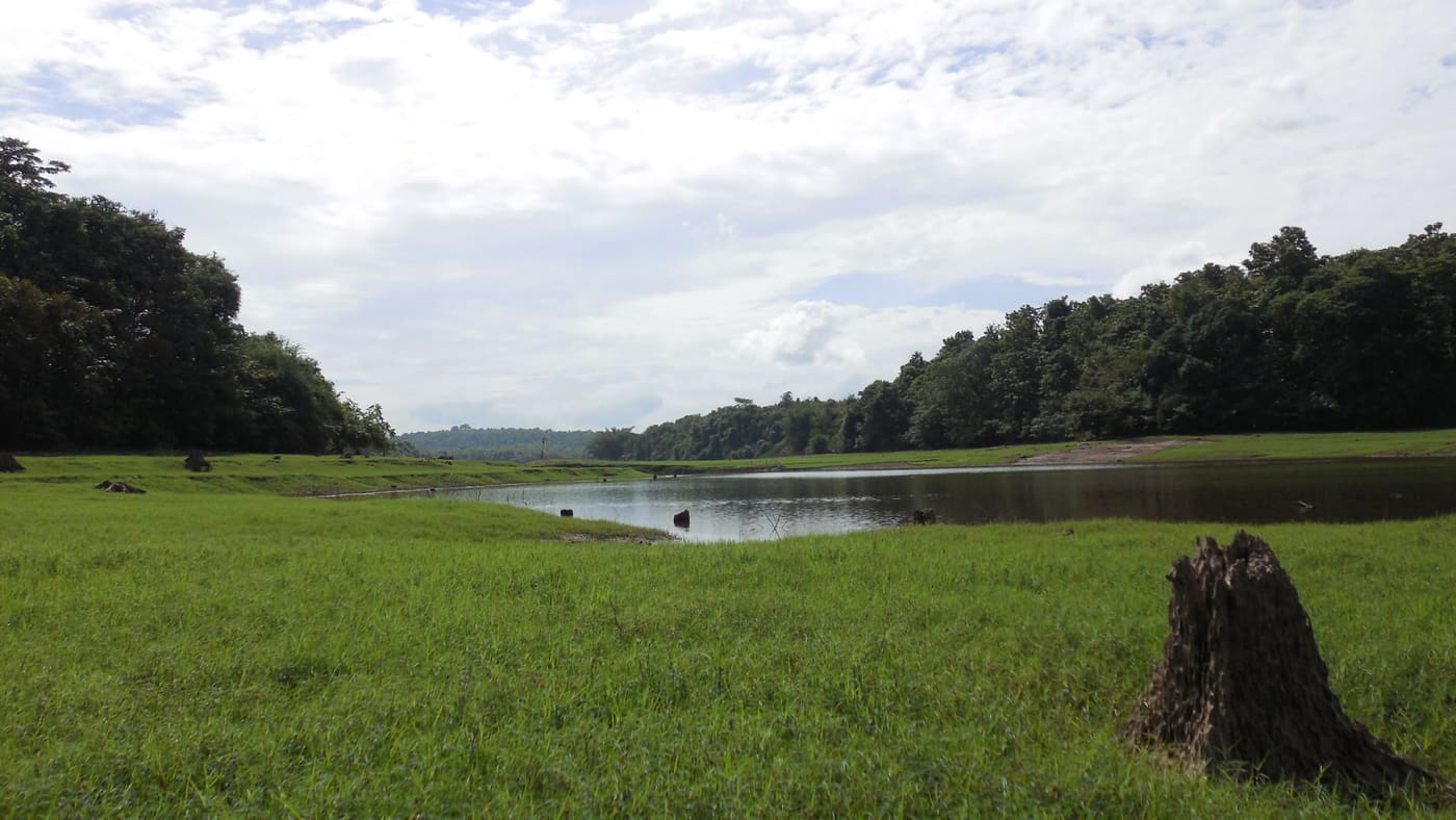
Look at the far bank while you are on the water, because the reservoir has a second name that explains what you are seeing. It is also called the Thattekad reservoir, and the forest edge on the other side is the boundary of the Salim Ali sanctuary. That treeline is not where the forest naturally ended. Filling this reservoir in 1964 raised the water along that bank by something in the order of six to ten metres, and the riverine woodland that had grown along the Periyar there went under. What you are boating across is, in part, the floor of the forest the sanctuary was created to protect.
The legend is specific, which is what makes it good. Bhoothams — demons, spirits — set out to dam the Periyar in order to flood the country upstream and submerge the Shiva temple at Thrikkariyoor. They worked at night, because the work had to be finished before dawn.
Shiva, seeing what they were at, faked the sunrise: a rooster crowed in the dark. The demons believed the night was over, abandoned the half-built dam where it stood, and fled. The boulders strewn across the river below the barrage are, in this telling, the work they left behind.
It is a very old kind of story — an unfinished monument explained by a trick played on its builders — and Kerala tells it with a straight face and a rooster.
The unromantic version has evidence behind it. Records point to a major Periyar flood in the mid-fourteenth century as what actually moved those boulders into the river. We publish both because the flood explanation does not make the legend less interesting; it makes it a story people told about a real event they had lived through.
The Thrikkariyoor temple in the legend is a real temple, a few kilometres away, still standing and still in worship. The story ties the two places together on the ground.
The demons are not the last people said to have interfered with this spot, and the second story is documented. In 1790, with Tipu Sultan’s army advancing on Travancore, a Travancore party is recorded as having breached the natural barrier here to put the Periyar in his way — using the river as a weapon in the same place the bhoothams were supposed to have been damming it. Whatever the tactical effect, the coincidence is a good one: the rock jam has been broken deliberately at least once in recorded history, which is exactly what the legend says the demons failed to finish.
So the barrage you are looking at is the third thing to occupy this stretch of river. First the boulders, explained by a rooster. Then a war. Then, from 1956, the Periyar Valley Irrigation Project, whose fourteen shutters now control salt intrusion and supply Greater Kochi with drinking water. It is a very ordinary-looking piece of infrastructure standing on a genuinely eventful piece of ground.
The flood behind the legend deserves its own name, because it is the most consequential thing that ever happened on this river and almost nobody standing here knows it happened at all. It is dated to 1341, and what it did downstream was not local. Silt carried off the Western Ghats by the swollen Periyar choked the ancient port at Muziris — Kodungallur by then — and put it out of business permanently. The river cut itself a new mouth to the sea. The material it dumped along the coast built new land, including the long bar that is now Vypin island and the deposits around Panangad and Kumbalam. And the sheltered water behind that new bar became the harbour that made Kochi.
That is the same event credited, in the story told here, with rolling the boulders into the Periyar below this barrage. One flood, one river: a port destroyed at one end of it and a port created a few kilometres south, and a rock jam left in the bed a day's travel inland. Kerala remembers the inland half as demons and the coastal half as a calendar.
The calendar is not a figure of speech. There is no surviving eyewitness account of the 1341 flood — no chronicle, no letter, nothing written at the time — and historians are careful to say so. What there is instead is a dating system: the Puthuvype Era, the Era of the New Deposit, which counts its years from 1341 because that is when the new land appeared. People did not write down the disaster. They started counting from it, and were still using that count centuries later. When a page like this says the boulders were moved by a fourteenth-century flood, that is the evidence underneath the sentence.
The site takes its name and its notoriety from the boulder field in the Periyar below the present barrage, long explained in local tradition as a dam abandoned by demons; a mid-fourteenth-century flood of the Periyar is the documented explanation for their position.
In the modern period the Periyar here was harnessed as part of Kerala’s river-management and irrigation works, and a barrage and reservoir were built at Bhoothathankettu near Kothamangalam, at the confluence of the river’s tributaries.
The area sits directly against the Thattekkad forest belt — the same low-elevation Periyar habitat that Salim Ali surveyed in 1933 and that became the Salim Ali (Thattekkad) Bird Sanctuary in 1983 — so it functions today as both a water-management site and a nature destination.
Kerala Tourism and the District Tourism Promotion Council operate it as an eco-tourism and picnic destination, with authorised boating from the jetty near the barrage, riverside walks and a park.
The place has kept its name through all of that. A state irrigation structure is still, in everyday Malayalam, the demons’ dam.
The modern structure is the headworks of the Periyar Valley Irrigation Project, and it is a barrage rather than a high dam — a line of gates across the river rather than a wall holding back a deep reservoir. It runs about 210.92 metres and carries fourteen shutters, standing on the Periyar outside the village of Pindimana, roughly 10 km from Kothamangalam and about 50 km from Kochi.
Construction began in 1956 and the scheme was commissioned in stages through the following decade; sources variously give 1964 as the opening and 1967 as partial commissioning. Water is diverted from here into a left-bank canal system.
What it does is larger than the visitor experience suggests. The project is designed to irrigate on the order of 32,800 hectares of agricultural land in Ernakulam district, and it also supplies water for domestic and industrial use across Greater Kochi, feeds lift-irrigation schemes along the way, and helps hold back the tidal salt intrusion that pushes up the lower Periyar. The Idamalayar dam stands about 15 km further on.
Which makes the legend and the engineering the same story told twice. Both say that this particular point on the river is where you would stop it if you were going to stop it at all. The demons were imagined doing it in a single night and abandoning the job in a panic. The state did it with fourteen shutters over eleven years, and has been operating it ever since.
The cost is recorded, and it is recorded by the Forest Department rather than by critics of the project. Impounding the river here raised levels along the northern bank by roughly six to ten metres, and the department's own description of the Thattekkad sanctuary states that this destroyed almost all of the luxuriant riverine forest that had lined the Periyar along it. That habitat — low-elevation forest right at the water's edge — is the scarcest kind in Kerala and is precisely what Salim Ali had praised in 1933. The sequence is worth holding in order: surveyed 1933, drowned 1964, protected 1983. The remnant that survived the second date is what the third one legislated for.
A new bridge across the site, 296 metres long and 11 metres wide, opened on 10 June 2020, which is why the approach is easier than older guidebooks suggest. The barrage itself is unchanged: a line of gates on the Periyar outside Pindimana, doing quietly and continuously what the bhoothams were said to have attempted in a single night.
Because the name has a real story attached to a real feature — you can see the boulders the legend is about.
Because the boat trip out onto the reservoir, in forest-edge country on the Periyar, is genuinely lovely early in the day.
Because the birdlife is unusually good for a dam, being on the doorstep of the Thattekkad sanctuary.
Because it is a straightforward half-day from Kochi, and pairs naturally with the bird sanctuary and the Thrikkariyoor temple from the legend.
And because it is where Kerala families actually go, which is a different and better experience than a site built for visitors.
Road km to Ernakulam; ghat roads and traffic vary — allow extra.
Post-monsoon and winter for scenery; monsoon access may change.
Live forecast loads in your browser.
Check the official alert before you travel. Kerala’s beaches, waterfalls and trekking routes close at short notice during heavy rain, and district alert levels change day to day. We do not publish an alert level of our own — read it from the state authority: Kerala State Disaster Management Authority, or the district control room on 1077.
Sun and moon are calculated for this location and shown in IST. Photography windows are the hour around sunrise and sunset; the sunset bearing is degrees clockwise from true north. Moon phase is accurate to about half a day.
Photographs: Shijan Kaakkara (CC BY-SA 4.0), Dil Shad Roshan (CC BY-SA 4.0), Amaleshravi (CC BY-SA 4.0), കാക്കര (CC BY-SA 3.0). Wikimedia Commons.
These are official or public-sector eco offerings that match this place, town or forest destination. Confirm availability, permits, tariffs and reporting times with the official operator before travel.

Dam, forest and river landscape east of Kochi, listed by Kerala Tourism as an ecotourism destination and programme.
Official source →
Rocky Periyar river landscape and forest-edge destination that needs careful seasonal safety checks.
Official source →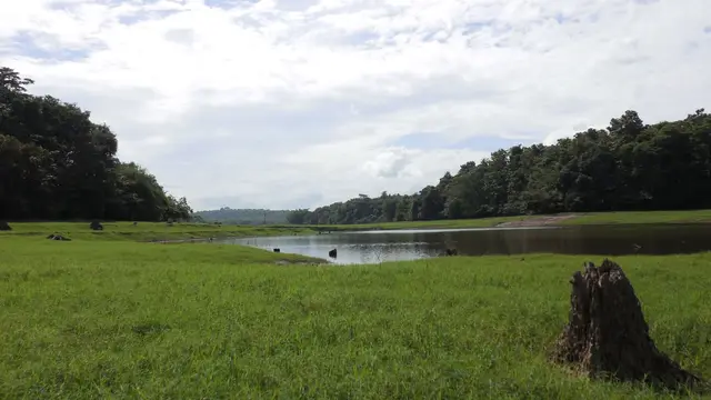
One of Kerala’s key birding landscapes on the Periyar river, east of Kochi.
Official source →Verified hotels, homestays, restaurants, experiences, sights, shops and rentals around Bhoothathankettu Dam — commission-free, with direct contact. Filter by what you need.
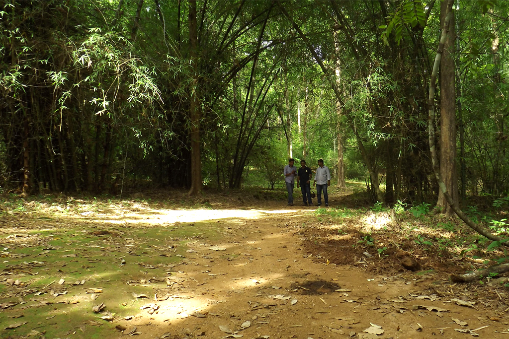
Thattekkad Birding Guide Walk is a sourced birding walk record for the thattekkad guide. Thattekkad Bird Sanctuary, Ernakulam district, Kerala · Contact direct / check current rules · thattekkad, do, Birding walk.
Book with the place itself. India’s cyber-crime coordination centre warned in April 2025 that convincing copies of hotel and pilgrimage booking sites are being pushed through sponsored search and social ads, taking payment for rooms the property never hears about. Every listing here links to the business’s own contact details and its own Google or Bing profile — we take no commission and sit in nobody’s payment path. If a booking page reached you through an ad, check the address bar against the property’s own site before you pay. Fraud can be reported on cybercrime.gov.in or on 1930.
Bhoothathankettu Dam sits in Thattekkad, and these rank everything verified across the town rather than this one spot — built from the same listings shown above, ordered by the strength of the source evidence behind each entry rather than by anyone's star score. Every card shows how many places are really on it. Nobody pays to appear.
Ordered by a real routed walk from Bhoothathankettu Dam itself — the walking network, not a line on a map, which understates a real walk by about half again. A different question, and a different answer, from the town-wide lists below.
Roampedia is commission-free — own or know a stay, eatery, guide or shop near Bhoothathankettu Dam? List it and it appears here once verified.
Add a nearby businessEntry: Around ₹20 per person (+ vehicle charge); boating charged per hour
~55 km from Kochi, ~10 km from Kothamangalam, on the Periyar near Thattekkad. The DTPC boat jetty is near the barrage.
Work out your return before you settle in for the sunset. Public transport here thins out sharply in the evening, and Bhoothathankettu Dam is easier to reach than to leave. We do not publish departure times: there is no official live feed we are permitted to republish, and a wrong time here would strand you. Check the operator directly on the day.
Ask at the bus stand for the time of the last service back, not the next one. If you miss it, an auto or app cab is the fallback — agree the fare before you get in.
We have not assessed physical access at this place yet. Across India, step-free routes, handrails and accessible toilets are the exception rather than the rule, and pavements are often interrupted — if step-free access matters to you, contact the site or a local operator before committing to the trip.
Mapped within about 1.2 km of Bhoothathankettu Dam, with real walking routes rather than straight-line distances. Community-mapped data: opening hours are shown only where they are recorded, and this is not a complete list — something unmapped may well be closer. Please confirm on the ground.
Emergency numbers are verified against official government and state tourism sources. 112 works anywhere in India.
Walking and driving times are real routed distances, except the few marked “straight line”, which are direct-line estimates and will read short. Fare figures are estimates from Kerala’s notified auto/taxi tariff and exclude waiting and night charges. Routing: © openrouteservice.org by HeiGIT | Map data © OpenStreetMap contributors
Nearby toilets, pharmacies, ATMs, seating and vets are community-mapped and may be incomplete or out of date. Map data © OpenStreetMap contributors | Walking times © openrouteservice.org by HeiGIT
Roughly “the demons’ dam” or “monster fort” in Malayalam — bhootham meaning a demon or spirit. It refers to the boulders that half-block the Periyar downstream, which tradition explains as a dam the demons abandoned before dawn.
It is a legend, and we publish it as one. The documented explanation for the boulders is a major flood of the Periyar in the mid-fourteenth century. Both are worth knowing — the flood is probably the event the story grew out of.
Yes. The DTPC jetty near the barrage runs motorboat trips of about an hour, extendable on request. Use the authorised operators only — this is a managed river and levels change.
A small charge applies, commonly around ₹20 per person with a separate vehicle charge, and boating is priced per hour. Rates change, so confirm at the counter.
About 55 km from Kochi and roughly 10 km from Kothamangalam. It combines naturally with the Salim Ali (Thattekkad) Bird Sanctuary nearby, and with the Thrikkariyoor Shiva temple that the demon legend is actually about.
Post-monsoon and winter for the scenery and comfortable weather, and early in the day for the light, the birds and the quieter boats. Monsoon access can change with the river.
The one dated to 1341, and it is the most consequential event in the Periyar's recorded past. The silt it carried down choked the ancient port at Muziris — Kodungallur — for good, the river cut a new mouth to the sea, and the material it deposited built new coastal land including Vypin island. The harbour that formed behind that new land is Kochi. There is no eyewitness account of the flood; the evidence is a dating system, the Puthuvype Era or Era of the New Deposit, which counts its years from 1341.
It damaged the habitat that later became the sanctuary. Impounding the river in 1964 raised water along the northern bank by roughly six to ten metres, and the Kerala Forest Department's own account states that this destroyed almost all of the luxuriant riverine forest that had lined the Periyar there. Salim Ali had surveyed that forest in 1933; the sanctuary was notified in 1983 over what remained inland. The reservoir is still sometimes called the Thattekad reservoir for that reason.
Yes — a bridge 296 metres long and 11 metres wide opened at Bhoothathankettu on 10 June 2020, which makes the approach considerably easier than older guidebooks describe.
Post-monsoon and winter for scenery; monsoon access may change.
Entry: Around ₹20 per person (+ vehicle charge); boating charged per hour. Timings: Around 8:00am–5:00pm. Fees and timings are indicative — confirm on site before you travel.
Base yourself in Thattekkad or a nearby town in Ernakulam, then confirm the last-mile route locally before leaving. Check public access status before travel; dam areas often have security rules and seasonal entry limits. If the visit depends on forest, temple, boat, ferry, weather or seasonal access, check the official/local rule on the day before travel.
1 to 2 hours.
Nearby you can pair Thattekkad Bird Sanctuary (8.2 km), Thrikkariyoor Temple (10.9 km), Malayattoor Church (17.8 km), Paniyeli Poru (22.4 km).
Do not cross barriers or restricted zones. Follow release-warning and security instructions.
Written about Bhoothathankettu Dam itself — its history, its legends and the arguments about them.


Bhoothathankettu Dam sits in Thattekkad, so these cover the streets, buildings and surroundings around it.


Route-level itineraries and practical guides for the rest of Kerala.