Places to Visit in Madayipara

Biodiversity plateau and heritage landscape near Pazhayangadi.

Madayipara
Practical guide

Plan Madayipara

Who's going?Tailor Madayipara to your trip
DistrictKannur
RoleLaterite plateau base
Time neededAround 1 to 3 hours to walk the plateau…
Places to visit2Listed businesses5

Choose your starting point before asking for transport: Madayikavu, the open plateau and Vadukunda Shiva Temple are different stops within the same landscape. For a first visit, the temple pond gives the laterite scenery a clear landmark; the open ground then offers a different view of the hill’s seasonal vegetation. Kerala Tourism maps the pond separately from the temple entrance, so use the entrance directions for a shrine visit and leave time to look at the water and rock outside. Do not treat a map line across the plateau as a marked walking trail.

Keep the return journey separate from the sightseeing plan. Pazhayangadi is the nearby transport base, while the plateau is where you spend time outdoors. Arrange where the driver will collect you, carry drinking water, and choose a shorter circuit if the exposed ground is hot or rain makes the rock slippery. A visit to a working shrine also needs its own allowance for worship and local access instructions. The road-distance list below starts at the mapped plateau centre; its short driving time does not include your time at the pond or temple.

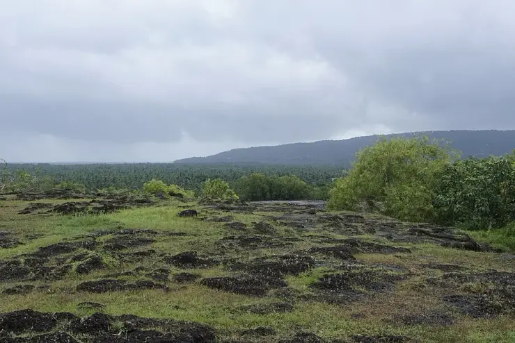
Madayipara is a flat-topped laterite plateau at Madayi, beside Pazhayangadi in Kannur, spanning more than 365 hectares and standing only forty to forty-seven metres above the sea. For half the year it looks like waste ground. It is in fact one of the best-documented plant sites in Kerala: over 670 species have been recorded here, twenty-four of them narrow endemics confined to the laterite hillocks, and two — Eriocaulon madayiparense and Lindernia madayiparense — carry the rock's own name because they were first described from it. The monsoon, May to November, brings the aquatic flora out in blue, pink, white and yellow; from January the plateau turns dry and xerophytic.

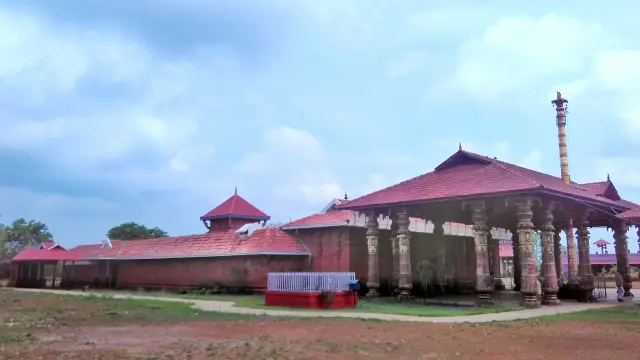
Three faiths and a fort share the same hill. Madayi Kavu, the Thiruvarkadu Bhagavathy temple, belongs to the royal family of Chirakkal; the Vadukunnu Siva temple was razed by followers of Tippu Sultan in the eighteenth century and has since been rebuilt; the Madayi mosque is traditionally associated with Malik Ibn Dinar, and the date usually printed for it does not sit easily with his own dates, so we leave that question open rather than repeat a figure. There are fort remains at Kottakunnu, a British traveller's bungalow put up in 1793, and a pond long called the Jew's pond. One practical note: the coordinate printed in Wikipedia's infobox for Madayipara is about eight and a half kilometres out — the same article's own text places it correctly at Madayi.

What to expect

Highlights

  • Madayipara — A vast laterite plateau near Pazhayangadi that bursts into wildflower bloom after the monsoon, with the Madayi Kavu, an old mosque and a temple pond — a botanist’s and birder’s hill.
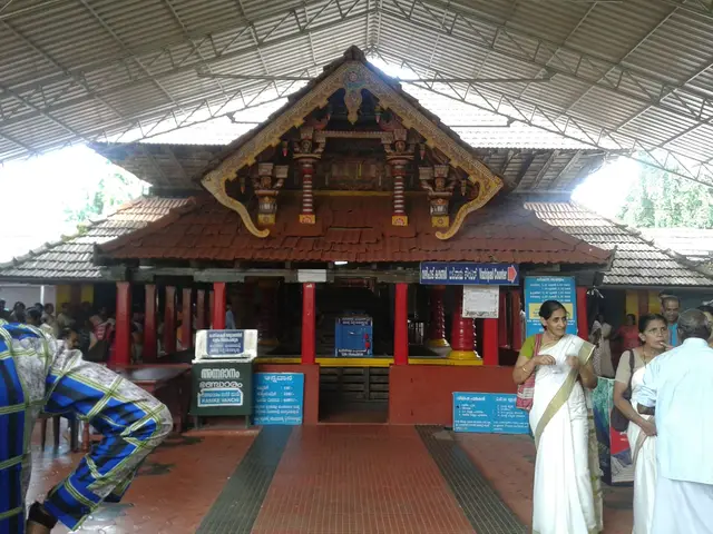
  • Vadukunnu Siva Temple — Madai Sree Vadukunda Siva Temple is the Shiva shrine beside the laterite plateau and sacred pond at Madayipara, near Pazhayangadi in Kannur. It is distinct from Thrissur’s Vadakkunnathan and from nearby Madayikavu.
Getting there

How to visit

  • Nearest airport: Kannur (CNN), in-district
  • Rail gateway: Kannur (CAN) or Thalassery (TLY)
Timing

Best time to visit Madayipara

Monsoon (around June to September, extending through the wet phase to November) for the spectacular blue-violet-white wildflower bloom and insectivorous plants; the cooler, drier months of about November to March are most comfortable for walking, the fort and general sightseeing.

Weather in MadayiparaSeasonal guide

Live forecast loads in your browser.

Today at Madayipara
Sunrise6:18 am
Sunset6:23 pm
Golden hour best light5:23 pm–6:23 pm
Blue hour after sunset6:23 pm–6:48 pm
Sun sets toward compass bearingW · 269°
Moon tonight🌕 Full moon · 100%
South-west monsoon. June to September is the south-west monsoon in Kerala. Expect heavy showers, mostly in bursts rather than all day — carry rain cover, allow extra time for getting around, and note that ferries and open-air sites are the first things affected.

Sun and moon are calculated for this location and shown in IST. Photography windows are the hour around sunrise and sunset; the sunset bearing is degrees clockwise from true north. Moon phase is accurate to about half a day.

The story

The story of Madayipara

Madayipara is a flat-topped laterite plateau rising above Pazhayangadi in Kannur district, where a windswept grassland unfurls one of Kerala's most extraordinary monsoon wildflower blooms and, layered into the same red rock, the ruins and shrines of an astonishingly multi-faith past — a Bhadrakali sacred grove, one of India's oldest mosques, a fort and a pond that marks a vanished Jewish settlement.

Drive up from the coastal town of Pazhayangadi and the land suddenly opens out. Madayipara is a sprawling laterite hillock — a flat, sun-baked table of iron-red rock that spreads across roughly 365 hectares (some local descriptions round it to about 700 acres) at only 40 to 47 metres above the sea. For most of the year it looks austere: cropped grassland, bare rock, a wide sky and, on clear days, the shimmer of the Arabian Sea to the west. Then the rains come, and the plateau performs the transformation that makes it famous.

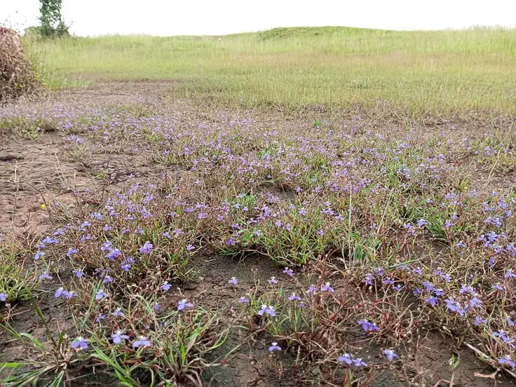
From late May through the monsoon months, water pools in every shallow depression of the rock and the whole tableland flushes into colour. The deep-blue flowers of Utricularia and the white flower-heads of Eriocaulon and Rhamphicarpa spread in drifts until, as botanists like to put it, the plateau is painted in shades of blue, violet and white. Among them grow tiny, easily-missed marvels: insectivorous bladderworts and the sticky-leaved sundew Drosera indica, which trap insects to survive in the mineral-poor laterite soil. It is a landscape that rewards walking slowly and looking down as much as out.

The biodiversity here is genuinely remarkable for such a compact site. Updated botanical checklists record around 670 flowering-plant species, more than 60 of them endemic to Peninsular India, several found almost nowhere else on Earth — plants such as Eriocaulon madayiparense and Rotala malabarica carry the plateau's own name in their scientific labels. Above the flowers flit an estimated 150 butterfly species, including the giant Atlas moth, among the largest winged insects in the world, and the grasslands and pond draw well over a hundred resident and migratory bird species, making Madayipara a quietly celebrated spot for lepidopterists and birders alike.

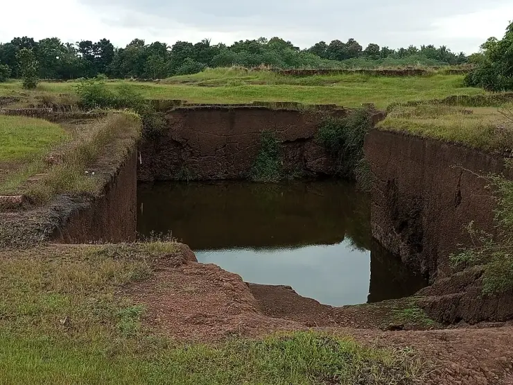
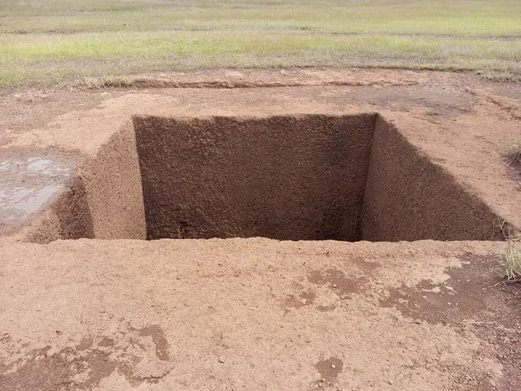
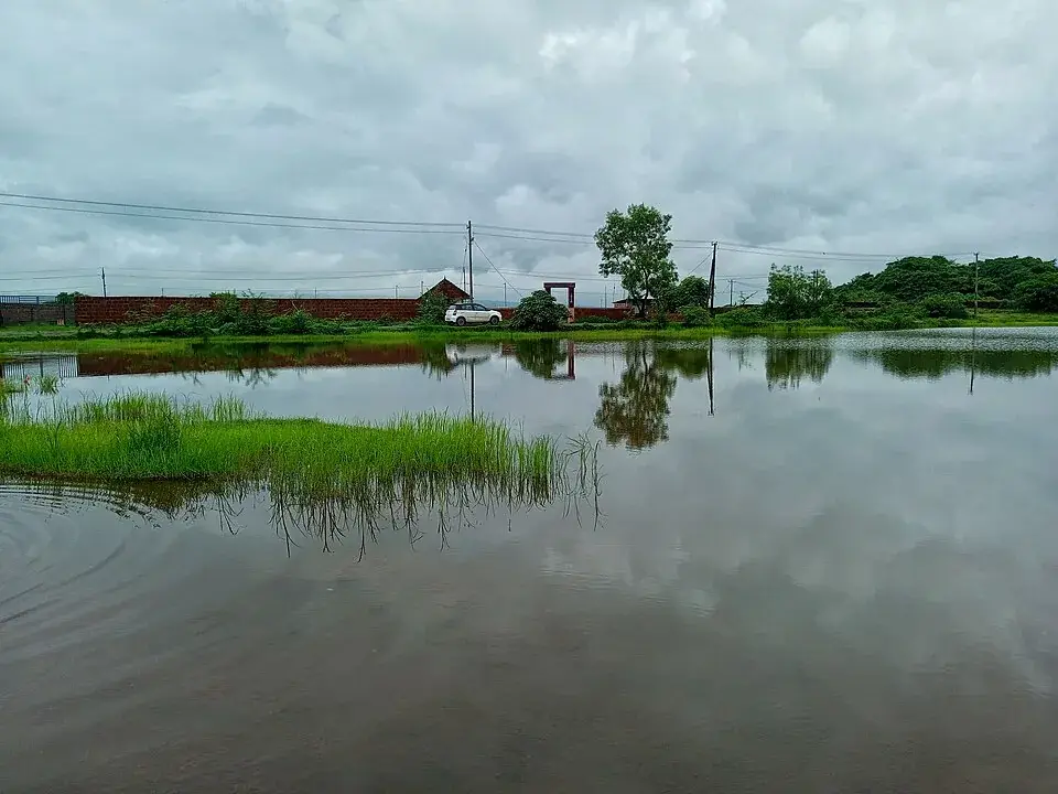
Water gives the plateau its second character. A perennial freshwater pond of around 1.5 acres sits near the Vadukunda Shiva temple, and a second, older tank — the hand-mirror-shaped Joothakkulam, or Jew's Pond — lies embedded in the rock like a piece of history you can dip your hand into. In the wet season these sheets of water mirror the moving sky, and at dusk the whole tableland, with the sea glinting beyond, becomes one of the finest sunset walks in north Kerala.

But Madayipara is far more than a bloom. Scattered across the same hill are the ancient Madayi Kavu Bhagavathy temple, the twelfth-century Malik Ibn Dinar mosque, the pond that remembers a lost community of Jewish traders, and the crumbling ramparts of the Madayikotta or Pazhi fort. Few places in India let you stand in one grassland and see a Hindu sacred grove, a pioneering Indian mosque, a Jewish memory and a colonial-era fort within a short walk of one another.

That combination — a fragile, endemic-rich ecosystem draped over a deeply layered heritage — is exactly why Madayipara feels unlike anywhere else in the region. It is a place to come with unhurried curiosity: for a botanist it is a living laboratory, for a pilgrim a place of power, for a historian a palimpsest, and for the ordinary traveller simply a high, breezy, flower-strewn plateau with the sea on the horizon.

Legend & myth

The presiding legend of Madayipara belongs to Madayi Kavu, the Thiruvarkadu Bhagavathy temple, and is told as sacred lore rather than history. According to the legend, a demon named Darika terrorised the region until the goddess Bhadrakali destroyed him in her fierce form. Having vanquished him, she is said to have asked Lord Shiva to enshrine her, and Shiva in turn is believed to have directed the sage Parashurama — the mythic creator of Kerala itself — to consecrate her shrine upon the Madayippara plateau.

A second strand of the temple legend holds that the Bhagavathy first resided with Shiva but, as a non-vegetarian deity who accepted fierce offerings, requested a separate shrine of her own — which is offered as the traditional explanation for why, within the temple, the Bhadrakali sanctum faces west while the Shiva shrine faces east. Devotees revere the goddess as Tiruvarkkad Achchi, and the shrine is spoken of as a last resort for those seeking release from sorcery and black magic. These accounts are devotional tradition, recounted here as legend.

More about Madayipara

History

Madayi Kavu, the Thiruvarkadu Bhagavathy temple crowning the plateau, is one of the oldest and most venerated Bhadrakali shrines in Kerala, with a tradition reaching back well over a thousand years and often described as the mother temple of north Kerala's Bhadrakali shrines. It follows the tantric Koula (Kaula Shakti) tradition, was long the shrine of the Chirakkal branch of the Kolathiri royal family, and is today administered by the Malabar Devaswom Board. Its great annual festival is the Pooram, celebrated over roughly seven to ten days in the Malayalam month corresponding to March, alongside other observances through the year.

The plateau also carries the memory of the Vadukunda (Vadukunnu) Shiva temple, whose earlier structure is recorded as having been razed by the forces associated with Tipu Sultan and his father Hyder Ali during their late-eighteenth-century incursions into Malabar; it has since been rebuilt. This episode ties Madayipara into one of the most turbulent chapters of the region's history, when the Kolathunad country changed hands amid war.

On the plateau stands the Malik Ibn Dinar mosque, also called Madayi Palli, counted among the oldest mosques in India and traditionally dated to around 1124 CE and associated with the Arab preacher Malik Ibn Dinar, credited with introducing Islam to the Malabar coast. Its survival here, a short walk from an ancient Hindu grove, is a striking emblem of the coast's long, cosmopolitan trading history.

The most poignant relic is the Joothakkulam — the Jew's Pond — a rock-cut tank whose very name preserves the memory of a Jewish community that once lived and traded in the area; local tradition and heritage accounts connect it to a Jewish presence in this port hinterland in antiquity, long since vanished, leaving little behind but the pond and its name.

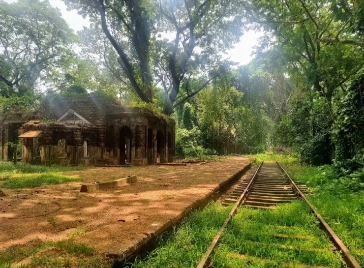
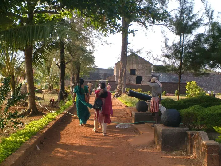
Guarding the south-eastern shoulder of the plateau are the ruins of the Madayikotta, also known as the Pazhi fort, traditionally attributed to a Vallabha king of the Kolathiri (Kolathunad) dynasty and later occupied during the Mysorean campaigns; the remains include watchtowers overlooking the surrounding country. A colonial-era British bungalow, said to date from the 1790s, on the eastern slope adds a final layer to a hill that has been fortified, worshipped upon and fought over for centuries.

Why visit

The monsoon wildflower spectacle — from around late May into the rains, the laterite tableland is carpeted in blue, violet and white blooms of Utricularia, Eriocaulon and Rhamphicarpa, a display few places in India can match.

Rare and endemic plant life, including insectivorous bladderworts and the sundew Drosera indica, plus species such as Eriocaulon madayiparense and Rotala malabarica that are found almost nowhere else on Earth.

Exceptional butterfly and bird watching — around 150 butterfly species, including the giant Atlas moth, and well over a hundred resident and migratory birds across the grassland and pond.

A rare multi-faith heritage in one landscape: the ancient Madayi Kavu Bhagavathy temple, the twelfth-century Malik Ibn Dinar mosque, the Jew's Pond marking a lost Jewish settlement, and the rebuilt Vadukunda Shiva temple.

The ruined Madayikotta (Pazhi) fort with its watchtowers, tied to the Kolathiri dynasty and the later Mysorean wars, for anyone drawn to history and views over the coast.

Sweeping open-sky walks with the Arabian Sea on the horizon, mirror-still ponds and some of the best sunset scenery in north Kerala — a plateau that rewards slow, unhurried exploration in every season.
Before you go

Madayipara — at a glance

HoursOpen plateau, best visited in daylight; commonly cited as roughly 6 am to 6 pm. Nearby temples keep separate darshan hours.

Entry: No entry fee reported for the plateau itself.

Dress code: Casual, comfortable clothing and sturdy shoes for the open, rocky grassland, plus sun protection and water (there is little shade). If you also visit Madayi Kavu, modest traditional dress is expected — men typically in a mundu (lungis and vests are not allowed in the sanctum), and women in saree, set-mundu or salwar kameez (jeans are not permitted); confirm current temple rules locally.

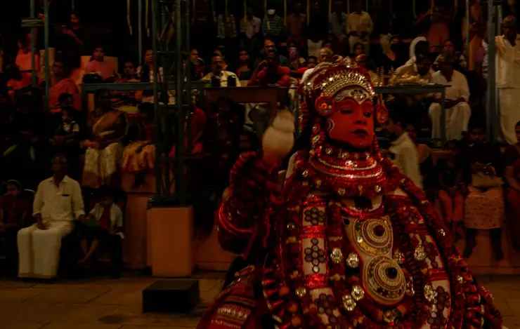
Festivals: The Pooram festival of Madayi Kavu (Thiruvarkadu Bhagavathy temple), celebrated over roughly seven to ten days in the Malayalam month falling around March, is the great annual draw; Theyyam rituals and other temple observances also take place through the year.

Photography: Photography of the plateau, blooms, butterflies, birds and landscapes is generally free and rewarding, especially in early-morning and sunset light. Photography and other rules inside the temples may differ and should be checked on site.

Parking: Informal roadside parking on the approach; there is no built car park on the plateau.

Getting here

How to reach Madayipara

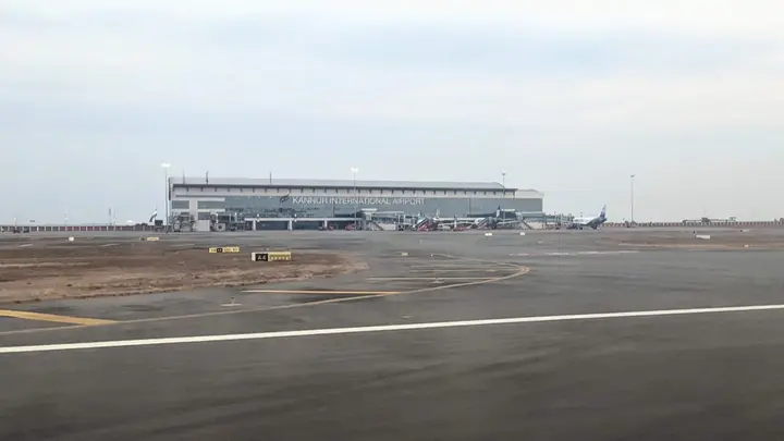
  • ✈︎ By air The nearest airport is Kannur International Airport (Mattannur), in the region of 25 to 35 km away by road; Calicut (Kozhikode) and Mangaluru airports are farther alternatives. Taxis are available from the airport.
  • 🚆︎ By train The nearest railway station is Pazhayangadi (Payangadi), only a few kilometres from the plateau, on the Mangaluru–Palakkad coastal line; Kannur is the larger railhead about 21 to 25 km away. Autos and taxis cover the short final stretch.
  • 🚗︎ By road Madayipara lies just off NH66 at Pazhayangadi, easily reached by road from Kannur (about 21 to 25 km) via Taliparamba or the coastal route, and from Payyanur to the north. A short uphill approach leads onto the plateau.
  • 🚌︎ By bus Frequent buses run along the NH66 corridor between Kannur, Pazhayangadi and Payyanur; alight at Pazhayangadi and take an auto or taxi for the short climb to Madayipara.
Getting back

Check your return bus or ferry with the operator before setting out. Leave time to reach the stop or jetty after your visit, and arrange a return vehicle in advance for a remote outing.

Ask at the jetty or the stand for the time of the last service back, not the next one. If you miss it, an auto or a taxi is the fallback — agree the fare before you get in.

Do

Things to do in Madayipara

  • Come in the monsoon and look down, not out. The plateau carries over 670 recorded plant species, and 24 of them are narrow endemics found only on Kerala’s laterite hillocks.
  • Find the plants named after the place. Eriocaulon madayiparense and Lindernia madayiparense were first described from this rock — it is their type locality. Nymphoides krishnakesara and Rotala malabarica are here too.
  • See it twice if you can. From roughly May to November it is an aquatic flora in blue, pink, white and yellow; from January it turns dry and xerophytic, and looks to a stranger like waste ground.
  • Watch the butterflies — around 150 species are reported, along with resident and migratory birds over an open plateau of more than 365 hectares.
  • Visit Madayi Kavu, the Thiruvarkadu Bhagavathy temple of the mother goddess, which belongs to the Chirakkal royal family.
  • Look at the Madayi mosque and hold two facts apart. Tradition credits its founding to Malik ibn Dinar, who belongs to the eighth century; the stone marker records AH 518, which is AD 1124–25, on a Friday in Rabiul Akhir. Those are four centuries apart and the sources print them side by side without noticing.
  • Know what you are looking at there. The old building was pulled down in 2006 and rebuilt in Indo-Saracenic style on the old foundations; the marker was set into the new floor and the original date is no longer legible.
  • Find the Jutha kulam, the pond whose name is taken as evidence of an early Jewish presence. The range the sources give for that presence is enormous — treat it as tradition, not as a date.
  • Walk the fort remnants on the hill, held by the Kolathiris and later associated with Tipu Sultan, and the site of the British traveller’s bungalow put up in 1793.
Plan

Good to know

  • There is no shade. The plateau is a bare laterite tabletop only 40 to 47 m above sea level, fully exposed — go early or late, and carry water.
  • Go in the rain if you came for the flowers. A dry-season visit to a plateau famous for its monsoon flora is a wasted trip, and most disappointed visitors made exactly that mistake.
  • Wear shoes with grip. Wet laterite is slick, and the surface is uneven rock and grass rather than a path.
  • Do not pick anything. Two dozen species here grow nowhere but on these laterite hills, and several were first described from this one.
  • Pazhayangadi, at the foot, is where the shops, buses and autorickshaws are.
  • The temples and the mosque keep their own hours and their own rules; the plateau itself is open ground.
Facilities

On site

  • Nothing on the plateau itself — no toilet, no shop, no drinking water, no shelter.
  • Tea shops, provisions and autorickshaws at Pazhayangadi and Madayi below.
  • Temple facilities at Madayi Kavu and the Vadukunda Shiva temple, for worshippers.
  • Banks, pharmacies and a hospital at Payangadi/Pazhayangadi; Kannur town is the nearest full-service centre.
  • Parking is informal, on the approach road rather than in a car park.
Stay safe

Safety

  • Sun and heat are the real hazard here, not terrain. An exposed laterite plateau in the middle of the day is punishing, and there is nowhere to get out of it.
  • Wet laterite is genuinely slippery and the edges of the plateau are abrupt in places. Keep back from drops in poor visibility.
  • This is an ecologically fragile site, not a picnic ground. Carry litter out; the endemics here are on it.
  • Snakes are present in the grass, as on any Kerala hillside. Watch where you step, particularly in the wet months.
Getting around MadayiparaNot wheelchair accessible
Terrain
Mostly flat
From the entrance
A flat-topped laterite plateau only 40 to 47 m above sea level, reached from the road below. The surface is bare rock and grass, not a made path, and it is uneven.
Step-free access
The plateau is flat in profile but there is no built path anywhere on it — the ground is raw laterite, pitted and uneven, and wet laterite is slippery. There is no surfaced route from the road onto the plateau. Level is not the same as accessible.
Prams
An all-terrain buggy might manage the flatter stretches in dry weather. An ordinary pram will not.

Nothing on the plateau — no toilet, no water, no shelter, no shade.Temple facilities at Madayi Kavu, for worshippers.

  • No shade at all on an exposed plateau of more than 365 hectares. Midday here is punishing.
  • The plateau edges are abrupt in places and the rock is slick when wet.

Checked 21 August 2026 against source 1. Conditions change and surfaces vary with weather — if step-free access is essential, confirm with the site before you travel.

Practical things near Madayipara
What the cash actually costs
  • Withdrawing from a bank that is not your own is free for a set number of times a month, then costs up to ₹23 plus GST — about ₹27 a withdrawal. This is not one of the RBI’s six metro centres, so the allowance here is the higher one: at least five free other-bank withdrawals a month, and at least five at your own bank.
  • That free allowance belongs to Indian bank accounts. On a card issued abroad your own bank’s international withdrawal and exchange charges apply instead. If the machine offers to bill you in your home currency, choose rupees — the conversion rate on that offer is set by the machine, not by your bank.
  • Choose a well-lit ATM, preferably at a bank branch. Shield your PIN, avoid help from strangers and use your bank’s support number if a withdrawal fails or the machine retains your card.

Charge cap and free-transaction limits: Reserve Bank of India, in force since 1 May 2025.

These services are listed within about 1.2 km of Madayipara. Walking distances follow mapped routes; access and opening hours can change. Other services may be closer but are not included here.

Nearby bases

Where to go from Madayipara

Kannur city, Kannur cityFort and beach base
Town / base

Kannur city

Sea fort, beaches and Theyyam-season access.

St. Angelo FortPayyambalam BeachArakkal MuseumTheyyam performances
Open Kannur city guide →
Thottada, ThottadaBeach homestay base
Town / base

Thottada

Quiet homestay-and-Ayurveda belt about 8 km south of Kannur city, where three laterite-walled coves — Thottada, Kizhunna and Ezhara — run in a row and almost every business is somewhere to sleep.

Thottada BeachAdikadalayi BeachKizhunna Beach
Open Thottada guide →
Muzhappilangad and Thalassery, Muzhappilangad and ThalasseryBeach and food base
Town / base

Muzhappilangad and Thalassery

Drive-in beach, colonial fort and biryani town.

Muzhappilangad Drive-in BeachThalassery FortOverbury’s FollyDharmadam Island
Open Muzhappilangad and Thalassery guide →
Payyambalam, PayyambalamCity beach base
Town / base

Payyambalam

Easy beach area close to Kannur town.

Payyambalam BeachBaby BeachKannur lighthouse views
Open Payyambalam guide →
Parassinikadavu, ParassinikadavuTemple and family base
Town / base

Parassinikadavu

Muthappan temple, Vismaya and Kannur University side stays north of Kannur city.

Parassinikadavu Muthappan TempleVismaya Amusement ParkKannur University side stays
Open Parassinikadavu guide →
Mattannur and Airport, Mattannur and AirportAirport transfer base
Town / base

Mattannur and Airport

Kannur International Airport, Mattannur hotels and arrival/departure transport planning.

Kannur International AirportMattannur hotelsAirport prepaid taxi
Open Mattannur and Airport guide →
Paithalmala, PaithalmalaHill trek base
Town / base

Paithalmala

Highland trek and viewpoint near the Karnataka border.

Paithalmala trekKappimalaKudiyanmala routes
Open Paithalmala guide →
Aralam, AralamWildlife base
Town / base

Aralam

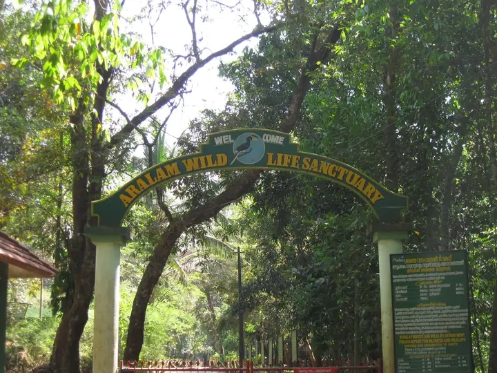
Eastern forest sanctuary and highland village belt.

Aralam Wildlife SanctuaryMeenmutty-style forest streamsIritty river side
Open Aralam guide →
In the district

Where Madayipara sits in Kannur district

District HQKannur
LandscapeNorth Malabar coast, forts, beaches and eastern highlands

Kannur district is known for: Theyyam ritual arts, St. Angelo Fort, Muzhappilangad drive-in beach and Aralam forests.

St. Angelo FortMuzhappilangad Drive-in BeachTheyyam season
Stay · eat · do · rent · see · shop

Places in Madayipara

Every verified place in Madayipara — filter by what you’re after.

4 places to stay in Madayipara

KK Residency Payyanur — 4-Star business hotel in Madayipara
Top pick Verified
4-Star business hotel · Madayipara
KK Residency Payyanur
4-star

Kerala Tourism-classified 4-star business-class hotel at the Old Bus Stand in the heart of Payyanur, northern Kannur district. It offers luxury air-conditioned rooms and suites, a multi-cuisine restaurant and banquet facilities as the town’s leading upmarket hotel.

Directions Commission-freeView details
TravelKannur Homestay Madayipara — Kerala Tourism-listed homestay in Madayipara
Top pick Verified
Kerala Tourism-listed homestay · Madayipara
TravelKannur Homestay Madayipara

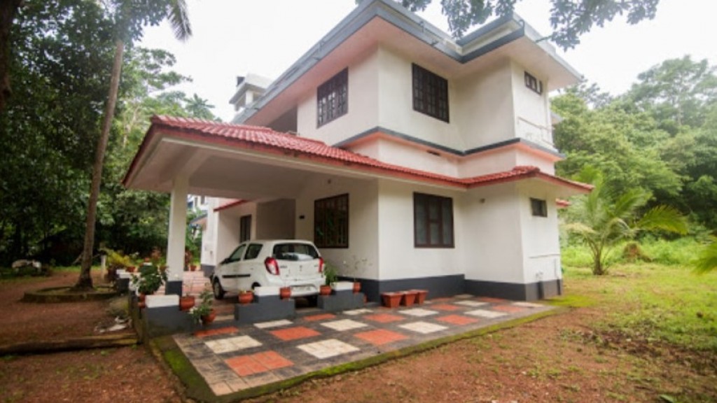
Kerala Tourism-listed Vengara homestay near Vadukunda Shiva Temple for Madayipara planning. TravelKannur, Kerala Tourism-listed homestay, madayipara.

Directions Commission-freeView details
Mailanji Homestay Madayipara — Kerala Tourism-listed homestay in Madayipara
Top pick Verified
Kerala Tourism-listed homestay · Madayipara
Mailanji Homestay Madayipara

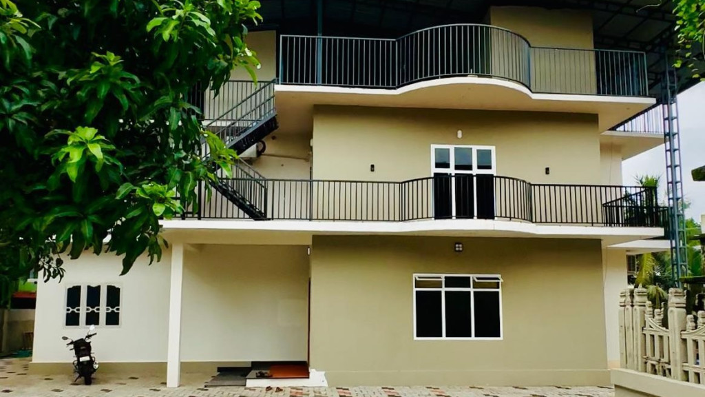
Kerala Tourism-listed homestay near Cheruthazham for Madayipara and Payyanur-side routes. Mailanji, Kerala Tourism-listed homestay, madayipara.

Directions Commission-freeView details
Thanima Homestay Madayipara — Kerala Tourism-listed homestay in Madayipara
Top pick Verified
Kerala Tourism-listed homestay · Madayipara
Thanima Homestay Madayipara

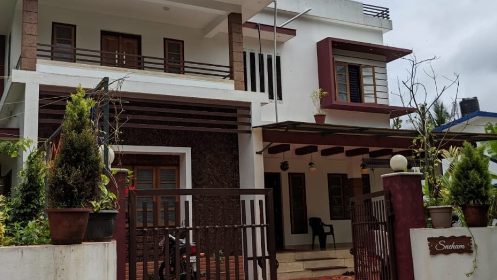
Kerala Tourism-listed homestay near Madayipara for travellers needing a close village-side stay. Thanima, Kerala Tourism-listed homestay, madayipara.

Directions Commission-freeView details

Book with the place itself. India’s cyber-crime coordination centre warned in April 2025 that convincing copies of hotel and pilgrimage booking sites are being pushed through sponsored search and social ads, taking payment for rooms the property never hears about. Every listing here links to the business’s own contact details and its own Google or Bing profile — we take no commission and sit in nobody’s payment path. If a booking page reached you through an ad, check the address bar against the property’s own site before you pay. Fraud can be reported on cybercrime.gov.in or on 1930.

Ranked

The best of Madayipara, ranked

Everything around Madayipara, by distance

Every place we hold for Madayipara, ordered by a real routed drive from the town centre. Times are free-flow and a real road rarely is, so read them as the floor rather than the estimate — anything that routed over ninety minutes is left out rather than published as a number we do not trust.

For hotels, homestays and local businesses

Get listed in Madayipara for free

Roampedia is commission-free. Travellers discover your business, book directly and contact you through official details. Basic listings are free, while Gold and Platinum package upgrades can be requested from the owner dashboard after approval.

List your business — free
Read before you go

Madayipara guides, stories & itineraries

Stories & history of Madayipara

Written about Madayipara itself — its history, its legends and the arguments about them.

Nearby in Kannur

Wider reading from Kannur. The stories about Madayipara itself are above.

Planning a trip to Madayipara

The practical half — what is actually here, in what order to see it, and how to arrive.

Kerala-wide guides & itineraries

Route-level itineraries and practical guides for the rest of the state.

See all 30 Kannur guides & stories →

Map

Where things are in Madayipara

FAQ

Madayipara travel FAQs

When is the best time to see the wildflower bloom at Madayipara?

The famous carpet of blue, violet and white wildflowers appears during the monsoon, broadly from around late May or June through September and into the wet phase that can extend to November — this is the peak time for the Utricularia, Eriocaulon and insectivorous plants. If you prefer pleasant weather over the full bloom, the cooler, drier months of about November to March are the most comfortable for walking and for the grassland and fort. Seasons here shift the plateau dramatically, so time your visit to what you most want to see.

Is there an entry fee for Madayipara?

Madayipara is an open plateau and is generally free to visit, with no entry fee reported for the grassland itself.

What is there to see at Madayipara?

The highlights are the seasonal wildflower bloom and rare flora, the butterflies and birds, sweeping plateau and sea views, the mirror-shaped Joothakkulam (Jew's Pond) and a perennial freshwater pond, the ancient Madayi Kavu Bhagavathy temple, the Vadukunda Shiva temple, the twelfth-century Malik Ibn Dinar mosque, and the ruins of the Madayikotta (Pazhi) fort with its watchtowers.

Is Madayipara good for birdwatching and butterflies?

Yes. Madayipara is well regarded among naturalists — it hosts an estimated 150 butterfly species, including the giant Atlas moth, and well over a hundred bird species, both resident and migratory, drawn to the grassland, wetlands and ponds. Early morning is the most rewarding time for both.

How do I reach Madayipara?

The plateau lies at Madayi near Pazhayangadi, just off NH66, roughly 21 to 25 km north of Kannur town. The nearest railway station is Pazhayangadi, only a few kilometres away, with Kannur as the larger railhead; the nearest airport is Kannur International Airport, in the region of 25 to 35 km away. Buses run from Kannur towards Pazhayangadi and Payyanur, and taxis and autos cover the short final climb to the plateau.

What are the timings for visiting Madayipara?

As an open plateau it is best visited in daylight; local guidance commonly cites hours of roughly 6 am to 6 pm. The nearby temples keep their own darshan timings, so check separately if you plan to visit Madayi Kavu or the Vadukunda temple. Plan for early morning or late afternoon light for the best walking, wildlife and sunset views.

What are the best places to visit in Madayipara?

Top places to visit in Madayipara include Madayi Kavu, Vadukunnu Siva Temple — each has a full guide with how to reach it and what to see nearby on this page.

Photographs: Nativeplants garden (CC BY-SA 4.0), User:Ashsadubai (Public domain), Vaikoovery (CC BY 4.0), Shagil Kannur (CC BY-SA 4.0), Manoj Karingamadathil (CC BY-SA 4.0). Wikimedia Commons.

Image credits