Kizhunna Beach

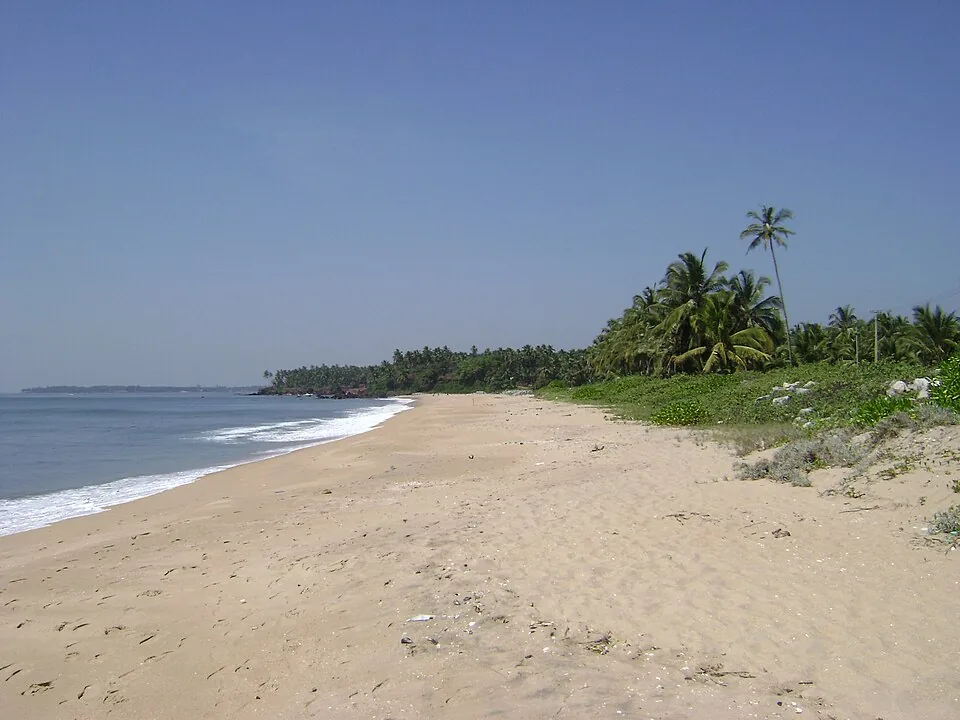
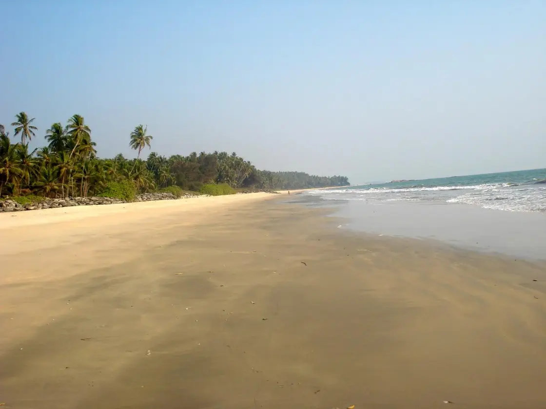
Kizhunna Beach is a fishing-village shore south of Kannur, between Thottada to the north and Ezhara to the south. Broad sand gives way to rocky interruptions, including the Cherakallu formations, while houses, palms and small accommodation properties occupy the landward edge. Come for a measured walk along the accessible sand, the changing light on the rocks and an understanding of this inhabited coast. Kizhunna and Ezhara are often advertised together, but they remain separate beaches with different approach lanes.

Kizhunna Beach, Kizhunna
Practical guide

Plan Kizhunna Beach

Who's going?Tailor Kizhunna Beach to your trip
Typebeach
AreaKizhunna
DistrictKannur
Best timeKerala Tourism recommends October to May…
Time neededAbout 45–90 minutes is a planning…
Places to visit3Listed businesses12
The story

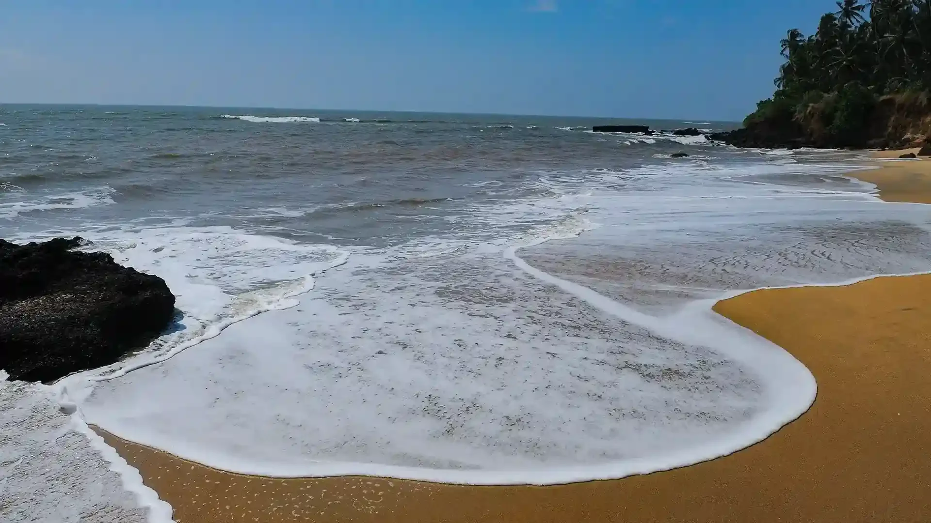
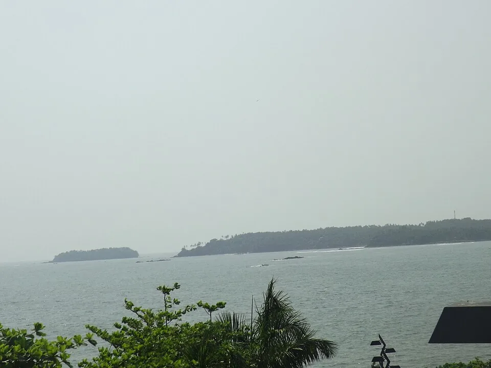
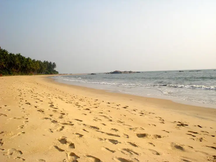
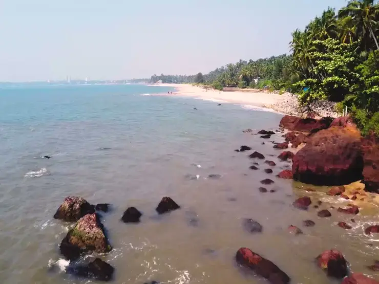
Kizhunna changes character as the sand meets rock. On the open stretch, the eye follows the long surf line towards a palm-covered bend. Around Cherakallu, rounded outcrops divide that line into smaller patches of water, foam and sheltered-looking sand. The contrast gives this village beach much of its visual interest.

The story of Kizhunna Beach

The shore has two scales. From a distance it belongs to the long coast south of Kannur; at walking pace it becomes a sequence of access lanes, boat spaces, stretches of wet sand and rocky interruptions. Paying attention to these smaller divisions makes the place easier to understand than treating every beach south of the city as one destination.

Thottada, Kizhunna and Ezhara occupy neighbouring stretches. Kerala Tourism identifies Thottada to the north and Ezhara to the south, with hilly ground and rock outcrops separating the beaches. The combined Kizhunna–Ezhara label is useful for a wider stay, but it conceals those physical breaks when used as a walking instruction.

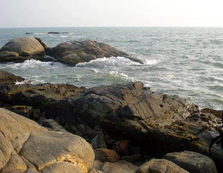
Cherakallu is especially visible in photographs of Kizhunna’s rocky shore. Some frames show a broad low mass beyond a curving waterline; others reveal individual rounded blocks with dark lower surfaces and waves running between them. These are different views of a shore feature, not evidence that every exposed rock offers a safe route.

The fishing setting is visible at the landward edge. Boats rest on the sand near palms and buildings, and the public walking space shares the beach with local work. A boat is more than a decorative object in a photograph. Its position, ropes and surrounding equipment should be left undisturbed even when no crew is standing beside it.

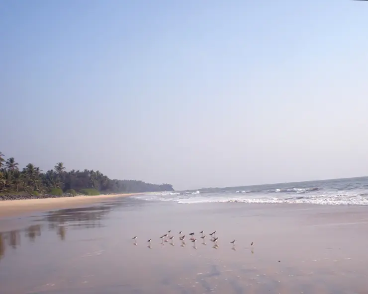
The small birds on the wet sand offer another reason to slow down. A photograph can hold the whole group and its reflections in one frame, but a person approaching directly may interrupt the feeding. Watch from a comfortable distance and let the birds move across the shore on their own. Their presence is an opportunity for observation, not a guaranteed feature of every visit.

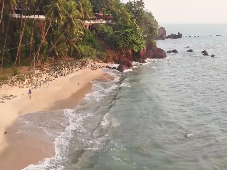
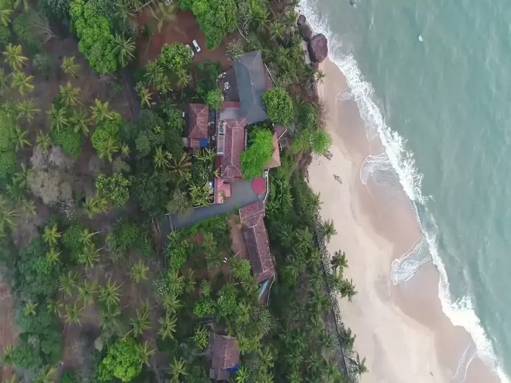
The landward vegetation creates a clear edge to the sand. Palm trunks rise above lower foliage, while shore-protection stones appear on some stretches. Looking both towards the sea and back towards the village gives a fuller picture: the beach is connected to homes, weather exposure and local access rather than detached from daily life.

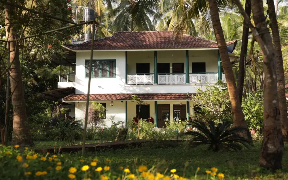
A stay beside this coast has a different rhythm from a short city-beach stop. The useful questions are which cove a property faces, where its approach meets the road and whether meals are provided there. The answer can matter more than the general promise of a sea view, particularly when returning after an evening on the sand.

Kizhunna rewards a visit that leaves room for these details. One can spend time on the open shore, observe the reef from land and watch the working beach without adding a chain of distant attractions. The neighbouring coves remain separate options for another stop, each with its own approach and conditions.

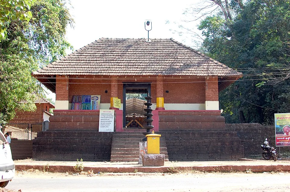
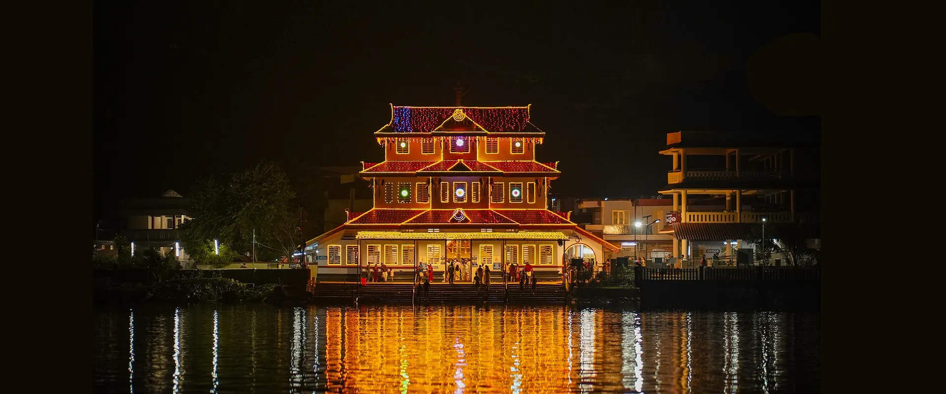
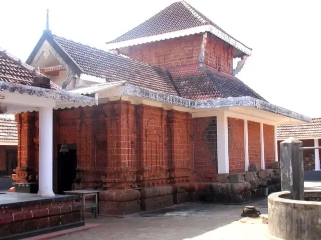
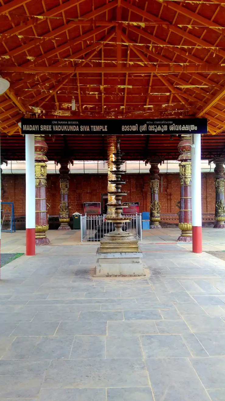
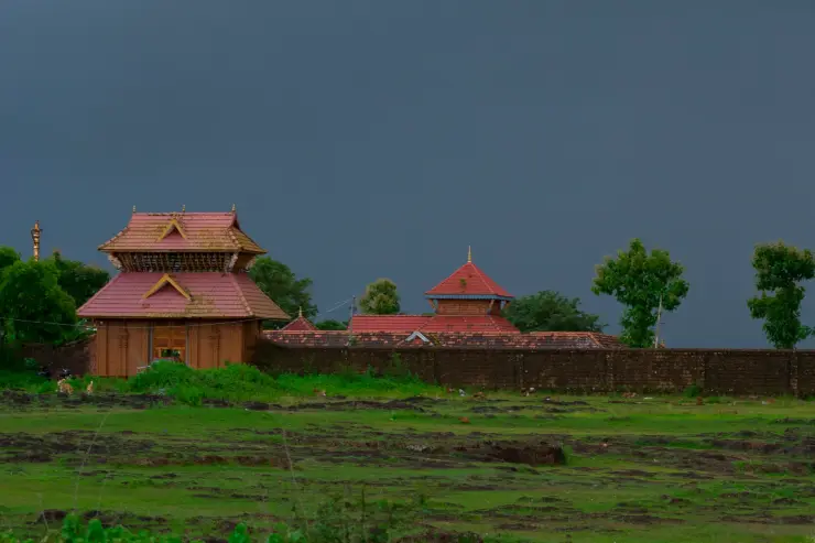
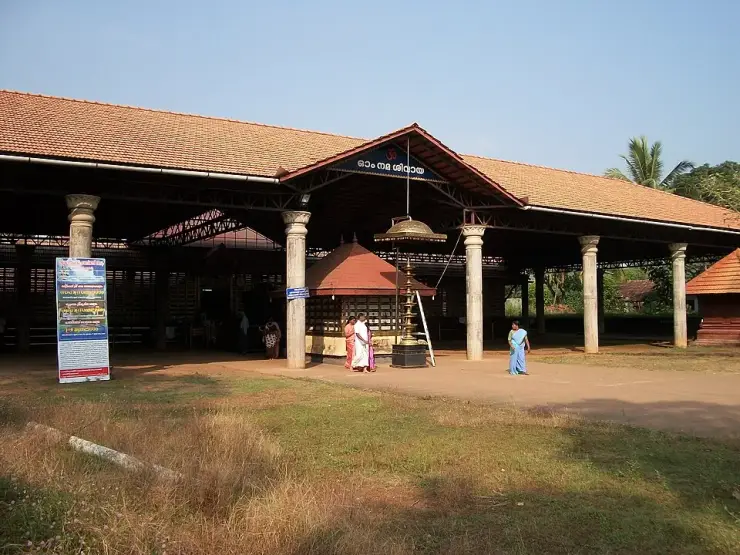
Kizhunna’s village setting extends inland to several named shrines. Kerala Tourism’s local directory identifies Muchilott Bhagavathy Temple, Perum Thrikkovil Shiva Temple and other neighbourhood places separately from the beach. These names can help a visitor understand the settlement behind the shore, but a temple entrance has its own purpose. Follow the local approach and worship rules if adding a shrine visit, and keep beach clothing and photography habits appropriate to the change of setting.

Theyyam belongs to the wider cultural life of North Malabar, and Muchilott Bhagavathy is among the forms described by Kerala Tourism. The practice is a religious encounter for the participating community as well as a striking performance for an observer. A named shrine and a broad Theyyam season are not enough to establish that a ceremony takes place on the day of a beach visit. Use that shrine’s announced programme before organising travel around a performance.

The distinction between Thottada, Kizhunna and Ezhara becomes useful when choosing accommodation. A property’s advertised coastal area may be broader than the cove immediately below it. Ask which beach the actual entrance serves and where its road meets the public route. If the room is marketed with photographs from several nearby stretches, match the view that matters to the property itself before booking a stay specifically for that outlook.

The rocky dividers make a road-based combination more dependable than assuming a continuous beach walk. Thottada lies to the north, while Ezhara lies to the south; the land and exposed rocks between them break up the sand. Begin with Kizhunna’s own public approach, then decide whether another cove adds something useful to the day. Moving by the appropriate local road keeps the outing independent of whether a wave-washed edge happens to look passable at one moment.

The bird photograph gives a smaller scale to the open shore. The birds stand where a thin film of water reflects their legs and bodies, with pale sand and dark specks breaking the surface around them. Their shared use of the wet margin is more interesting to observe than a close portrait obtained by making the group move. Pause to one side of their path and allow the birds to feed or rest without changing direction around the visitor.

Cherakallu supplies the contrasting large scale. In one view the rocky mass forms a dark shape beyond the sweep of the surf; in another, separate rounded surfaces become visible. A photograph including both wet sand and rock helps preserve that relationship. The exposed surfaces are part of the coastal feature being observed, while the public walking ground provides the place from which to appreciate it.

Kannur and Thalassery offer different directions for the wider journey. Kerala Tourism places Kannur railway station about eleven kilometres from Kizhunna, while its regional ebook lists Thalassery about thirteen kilometres away. These are published orientation distances, not promised driving times. Select the railway gateway according to the train’s stopping pattern and the rest of the itinerary, then arrange the local beach transfer as a separate stage.

If combining Kizhunna with a town museum or fort, let the scheduled attraction determine the fixed part of the day. The beach walk can occupy a suitable daylight period around it. That avoids arriving at a museum near closing merely because the sea view invited a longer pause. Kizhunna can be the main outing or a deliberate second stop; it does not need a chain of distant attractions to fill the time spent here.

The most useful photographic sequence follows the place’s own changes in scale: a broad view of sand and the rocky division, a landward view of boats and palms, then a closer observation of birds or the pattern of water around rock. All can be made from a permitted, stable position. The result tells more about this particular fishing hamlet than repeatedly framing the horizon while leaving the inhabited shore out of view.

The Muchilott Bhagavathy shrine named in Kerala Tourism's Kizhunna directory gives the village's cultural setting a specific point of reference. In the department's account of Theyyam, Muchilottu Bhagavathy is identified among the major goddess forms. This connects the shrine's name with a wider ritual vocabulary, but the particular local programme still belongs to the temple. A visitor should distinguish learning about that tradition from having a confirmed opportunity to attend it during a beach stay.

Theyyam's visual work begins with preparation as well as movement. Kerala Tourism describes headgear, face painting and ornaments that vary according to the represented figure. The headgear is called mudi, and the performer undertakes disciplined preparation before the ritual. These details help explain why a ceremony cannot be reduced to a colourful costume available for a quick tourist portrait. If an announced Kizhunna observance is open to visitors, the meaningful subject includes the preparation, worship and community gathering, within whatever access the organisers permit.

The relationship with the audience also differs from an ordinary stage show. In the devotional understanding described by Kerala Tourism, the deity is present among the people and hears their concerns. Someone watching should leave room for that interaction and avoid occupying the space where participants approach. The beach and the shrine may be close within the same village, but they call for different behaviour. Ask about photography at the actual event rather than applying the freedom of an open-shore photograph to a ritual encounter.

For an itinerary, keep the shrine's full name and meeting point alongside the beach address. A broad Theyyam-season label may describe many events across North Malabar, while a booking advertised through Kannur may involve travel away from Kizhunna. Establish which temple and which announced ceremony are intended before arranging transport. This allows a stay to include both the fishing hamlet's shoreline and a meaningful cultural visit, without presenting a regional performance as something staged daily beside Cherakallu.
Read the full history of Kizhunna Beach 119 more words

History

Kerala Tourism’s Malabar destination account identifies Kizhunna as a fishing hamlet and treats Kizhunna and Ezhara as two beaches. That village and coastal setting is the firm basis for understanding the destination.

The state coastal-tourism study groups Thottada, Kizhunna and Ezhara within one wider shore stretch while illustrating them separately. It helps explain why accommodation and travel descriptions sometimes use overlapping regional names.

Why visit

Compare the long open sand with the rounded Cherakallu rock formations.

Experience a village shore where fishing activity and visitor walks share the coastal space.

Watch the changing surf line and, when present, small birds feeding on wet sand.

Choose a quieter coast-based outing that fits a stay around Thottada or a road trip from Kannur.

What to expect

Highlights

  • The open beach offers a long view of sand, surf and the palm-backed coast. A walk can remain entirely on the dry sand without attempting a crossing over the reef.
  • Cherakallu adds a different shape to the coast: rounded rock masses project into the sea, with water moving through the gaps. View them from a secure shore position.
  • Fishing boats and the nearby village give the beach a working setting. Leave space around equipment and choose a position that does not interrupt a landing or launch.
  • Small shorebirds can be observed on wet sand when present. A quiet pause well away from a feeding group is more useful than walking directly towards it.
Getting there

How to visit

  • Give your driver the Kizhunna beach approach, rather than only the combined name Kizhunna–Ezhara. Confirm the return lane before leaving the vehicle.
  • Start with the open sandy stretch and identify the point where you entered. Houses and palms can look similar from the beach; remembering the actual approach helps on the return.
  • Walk only as far as the continuous safe sand permits. Treat rocks, rough water and narrowing shore as reasons to turn back instead of forcing a route to the next beach.
  • If the Cherakallu formations are visible from your chosen stretch, spend time observing how waves pass around them from dry ground. The reef is part of the view, not a necessary climbing objective.
  • Keep a second beach visit as a separate road stop when conditions do not permit an easy shore walk. Thottada and Ezhara should not be treated as guaranteed extensions of a single uninterrupted path.

Distance by road

  • Kozhikode92 km
  • Mangaluru143 km
  • Mysuru179 km
  • Coimbatore267 km
  • Kochi270 km

Road km to Kannur; ghat roads and traffic vary — allow extra.

Timing

Best time

Kerala Tourism recommends October to May for the beach. Choose a settled-weather morning or late afternoon for the walk, allowing daylight for the return through the village lane. The suitability of a particular stretch depends on the sea that day: a calm-looking photograph cannot establish safe swimming or a passable reef crossing.

Weather in Kizhunna BeachSeasonal guide

Live forecast loads in your browser.

Today at Kizhunna Beach
Sunrise6:18 am
Sunset6:12 pm
Golden hour best light5:12 pm–6:12 pm
Blue hour after sunset6:12 pm–6:37 pm
Sun sets toward compass bearingW · 262°
Moon tonight🌒 Waxing crescent · 7%
Retreating monsoon. October and November still see spells of rain from the retreating monsoon, though it is usually lighter than mid-year. Conditions are generally good but worth checking.

Sun and moon are calculated for this location and shown in IST. Photography windows are the hour around sunrise and sunset; the sunset bearing is degrees clockwise from true north. Moon phase is accurate to about half a day.

Visitor notes

  • Kizhunna is a lived-in village coast. Beach access does not include permission to walk through a house compound, use a homestay’s facilities or move fishing equipment.
  • A room advertised under the combined Kizhunna–Ezhara name may be beside a different cove. Use the property’s own approach for an accommodation arrival.
  • Leave shells, living shore organisms and plants where they are. The small details of the shore are worth observing without collecting them.
Safety

Good to know

  • Stay off wave-washed rocks and avoid crossing channels around the reef. Wet surfaces and incoming waves can make a short-looking passage unsafe.
  • Plan for shore-based recreation. No lifeguard coverage or supervised swimming zone has been verified for the specific visitor approach.
  • Keep children away from moving boats, ropes and nets. Give crews room to work and avoid standing between a boat and the water.
  • Turn back while there is still a clear dry route to the approach lane; do not let a beach walk depend on crossing a headland after dark.
Stay · eat · do · rent · see · shop

Stays, food & things to do near Kizhunna Beach

Browse listed stays, food, activities, sights, shops and rentals around Kizhunna Beach. Check each listing’s locality and contact the business directly for current arrangements.

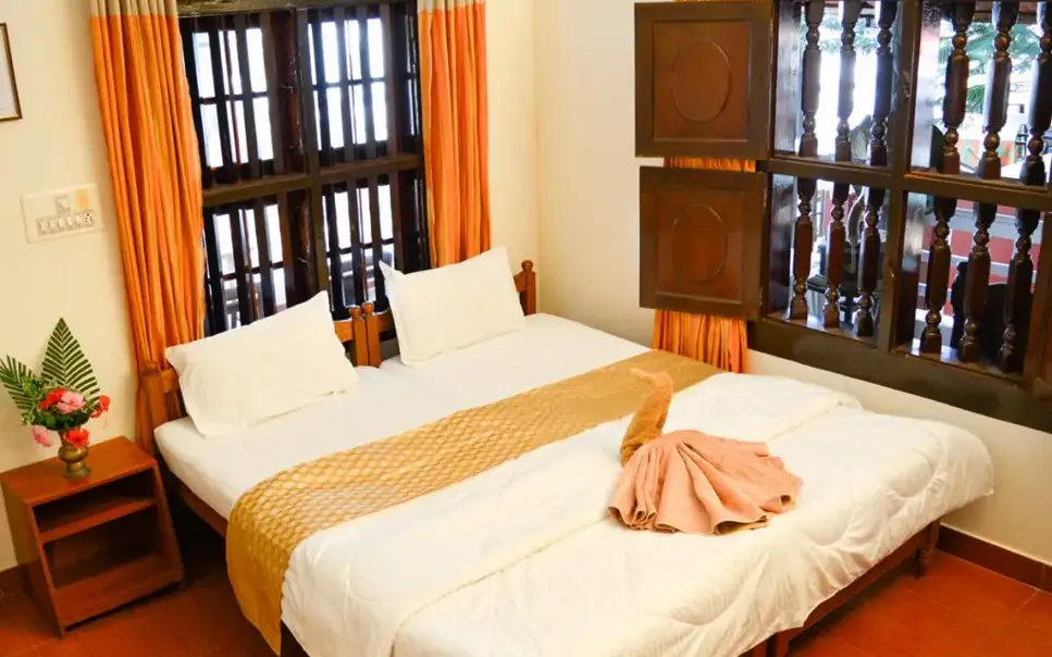
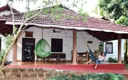
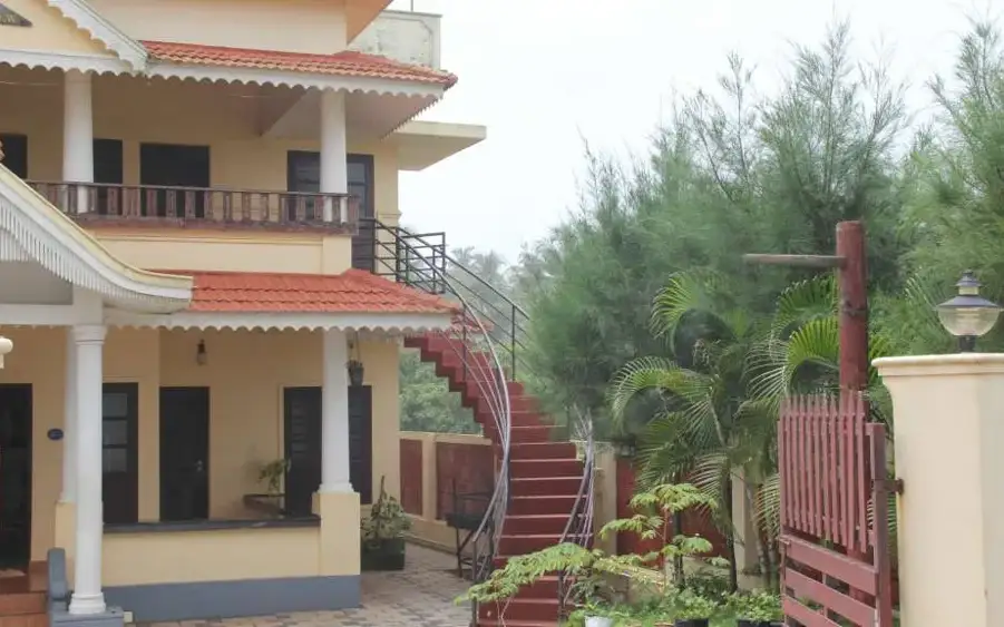
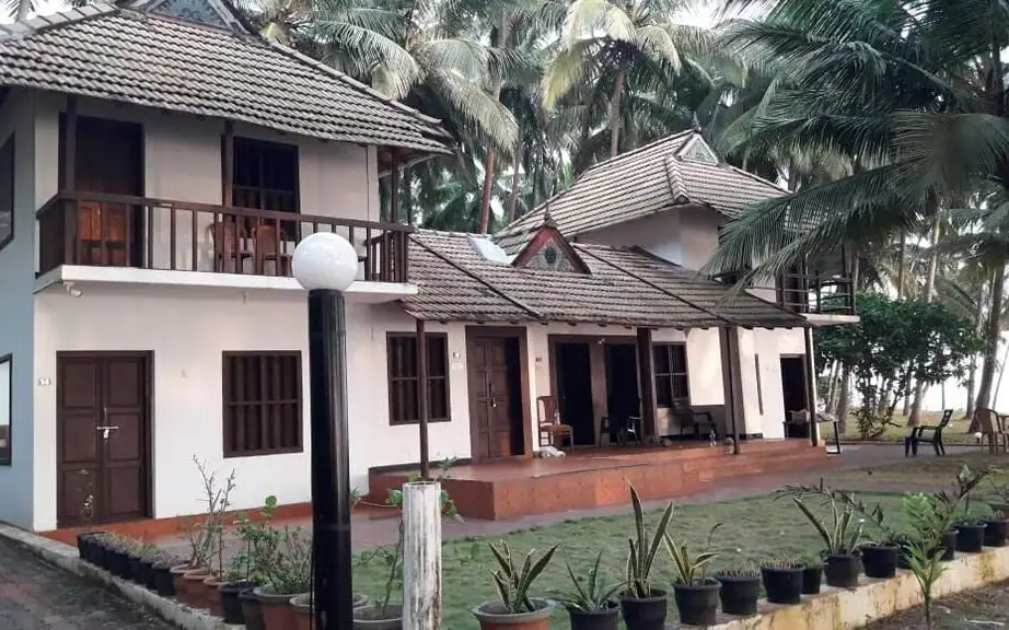
9 places to stay near Kizhunna Beach

Hotel · Thottada
Blue Mermaid Homestay

Traditionally built beachfront cottages beside the Adikadalayi temple on Thottada beach. Set between Thottada backwater and the sea, 6 km from Kannur city.

Directions Commission-freeView details
Hotel · Thottada
Seashell Haris Beach Home

An eco-friendly homestay on a green clifftop above the Arabian Sea at Adikadalayi. Landscaped grounds and home-style Malabar cooking, 6 km from Kannur town.

Directions Commission-freeView details
Hotel · Thottada
Kannur Ocean Green Homestay

A quiet homestay among coconut palms just 100 m from Thottada beach at Aadikadalayi. Fan-cooled rooms, a shared kitchen and a private stretch of sand.

Directions Commission-freeView details
Homestay · Thottada
Kannur Beach View Homestay, Thottada

Six-bedroom beach house above the Thottada shore, the closest accredited stay to the sand.

Directions Commission-freeView details
Hotel · Thottada
Costa Malabari

A pioneering homestay in a converted hand-loom factory southeast of Kannur town. Home-cooked Keralan meals and theyyam outings, minutes from Thottada beach.

Directions Commission-freeView details
Hotel · Thottada
The Malabar Beach Resort and Ayurvedic Spa

An upscale beach resort and Ayurvedic spa on the shores of Thottada beach. Sea-view rooms, a yoga centre and an on-site multi-cuisine restaurant.

Directions Commission-freeView details
Hotel · Thottada
Thottada Beach House

Two independent beachfront houses, Kera and Manal, in traditional Kerala wood style. They share private access to the quiet Ezhara beach stretch.

Directions Commission-freeView details
Hotel · Thottada
Ezhara Beach House

A secluded beach house facing the Arabian Sea beside a working fishing village. It overlooks the long Kizhunna-Ezhara sands south of Kannur town.

Directions Commission-freeView details
Hotel · Thottada
Kanbay Beach Resort

A modern beach resort off Thottada Beach Road with a rooftop multi-cuisine restaurant. A short drive from Kizhunna's cliffs and Kannur railway station.

Directions Commission-freeView details

Book with the place itself. India’s cyber-crime coordination centre warned in April 2025 that convincing copies of hotel and pilgrimage booking sites are being pushed through sponsored search and social ads, taking payment for rooms the property never hears about. Use the contact and source details on each profile to confirm the exact business and booking channel. A directory entry or map pin alone does not establish an operator’s identity or current availability. Roampedia takes no commission and does not collect booking payments. If a booking page reached you through an ad, check the address bar against the property’s own site before you pay. Fraud can be reported on cybercrime.gov.in or on 1930.

Options

More ways to explore Thottada

The page sits within the Thottada travel hub. Kizhunna itself is a distinct coastal village and beach, with Ezhara farther south.

Across the whole of Thottada

Nearby guides

Top experiences around Kizhunna Beach

4 separate places to consider after Kizhunna Beach. Open each guide before deciding: their access, hours and return arrangements are independent.

beachThottada Beach

A quiet, unspoilt cove-and-stream beach south of Kannur city, known for its homestays and calm, uncrowded sands.

beachAdikadalayi Beach

Adikadalayi Beach, also called Kadalayi Beach in Kerala’s coastal tourism study, is a Kannur shore with sandy pockets, exposed red coastal rock and palms above the water. It belongs to the Adikadalayi locality, not the separately named Thottada, Kizhunna or Ezhara beaches farther along the coast. Use the mapped public steps from Tippu Sulthan Beach Road as the arrival reference. Nearby cliff-side homestays have their own entrances and facilities, and should not be used as assumed public access.

beachMuzhappilangad Drive-in Beach

A ~4 km hard-sand beach, the longest drive-in beach in India — you can drive along the sand at low tide; Dharmadam Island lies just offshore.

heritageSt. Angelo Fort

Sea-facing laterite fort built by the Portuguese in 1505, later held by the Dutch, the Arakkal royal house and the British — Kannur city’s great coastal landmark overlooking Mappila Bay.

Roampedia is commission-free — own or know a stay, eatery, guide or shop near Kizhunna Beach? Submit public business details for review.

Add a nearby business
Before you go

Kizhunna Beach — at a glance

Parking: No formal public parking capacity has been verified for the chosen village approach. Use a lawful space agreed locally without obstructing residents, fishing access or the turning area. Accommodation parking belongs to the property.

Getting here

How to reach Kizhunna Beach

  • ✈︎ By air Kannur International Airport is about 26 km away in Kerala Tourism’s June 2024 account. Arrange a direct road transfer to Kizhunna or the actual accommodation address.
  • 🚆︎ By train Kerala Tourism identifies Kannur railway station as the rail gateway, about 11 km from the beach. Complete the trip by road to the specific access lane.
  • 🚗︎ By road Travel from Kannur towards the Thottada–Edakkad coast, then take the local approach specifically signed or arranged for Kizhunna Beach. The last village lane matters more than the broad combined Kizhunna–Ezhara label.
  • 🚌︎ By bus Use Kannur as the main bus interchange and establish the suitable Thottada or Edakkad corridor stop with the service crew. The last stretch to the beach requires its own local walking or vehicle arrangement; a direct beach bus has not been verified.
Getting back

Agree the pickup at the same Kizhunna road approach used on arrival. A driver waiting at Ezhara or a differently named homestay may be at another cove.

Do

Things to do

  • Walk the accessible open sandy stretch and return by the same clear route.
  • Observe Cherakallu’s rounded rocks and the movement of water around them from the shore.
  • Watch fishing activity from a position that leaves the crew’s working space clear.
  • Pause well away from any birds feeding on wet sand.
  • Photograph the relationship between the palm-backed village edge, boats, sand and sea.
Facilities

On site

  • The beach is beside a fishing village and small accommodation properties; any meal, toilet or changing arrangement at a property must be agreed with its operator.
  • Use Kannur or a confirmed local property for the wider meal and transport plan. A continuous promenade and managed recreation facilities are not established for this approach.
Getting around Kizhunna Beach
From the entrance
Kizhunna-Kadappuram coastal road
Step-free access
The beach walk is on sand, with rocks interrupting parts of the shore. A continuous step-free path from the vehicle to a firm sea-view platform has not been verified. For a visitor who needs firm ground, establish the exact property or approach layout before travelling.

Checked 7 September 2026 against source 1source 2. Conditions change and surfaces vary with weather — if step-free access is essential, confirm with the site before you travel.

Eat nearby

What to eat in Thottada

Keep food with the actual Kizhunna stay or the return route to Kannur. A fishing beach is not itself a guarantee of a walk-in seafood restaurant, and neighbouring properties may require advance meal arrangements.

Explore food in Thottada →
01

A meal at the coastal stay

If staying beside Kizhunna, establish which meals the property serves and their times before planning the evening walk.

02

Malabar food in Kannur

A return to Kannur offers the broader town dining choice and fits travellers whose onward train or accommodation is there.

03

Tea along the approach

Use a shop that fits the agreed local pickup, keeping the beach lane clear for residents and working vehicles.

Nearby

What’s near Kizhunna Beach

beachThottada Beach

A quiet, unspoilt cove-and-stream beach south of Kannur city, known for its homestays and calm, uncrowded sands.

beachAdikadalayi Beach

Adikadalayi Beach, also called Kadalayi Beach in Kerala’s coastal tourism study, is a Kannur shore with sandy pockets, exposed red coastal rock and palms above the water. It belongs to the Adikadalayi locality, not the separately named Thottada, Kizhunna or Ezhara beaches farther along the coast. Use the mapped public steps from Tippu Sulthan Beach Road as the arrival reference. Nearby cliff-side homestays have their own entrances and facilities, and should not be used as assumed public access.

beachMuzhappilangad Drive-in Beach

A ~4 km hard-sand beach, the longest drive-in beach in India — you can drive along the sand at low tide; Dharmadam Island lies just offshore.

heritageSt. Angelo Fort

Sea-facing laterite fort built by the Portuguese in 1505, later held by the Dutch, the Arakkal royal house and the British — Kannur city’s great coastal landmark overlooking Mappila Bay.

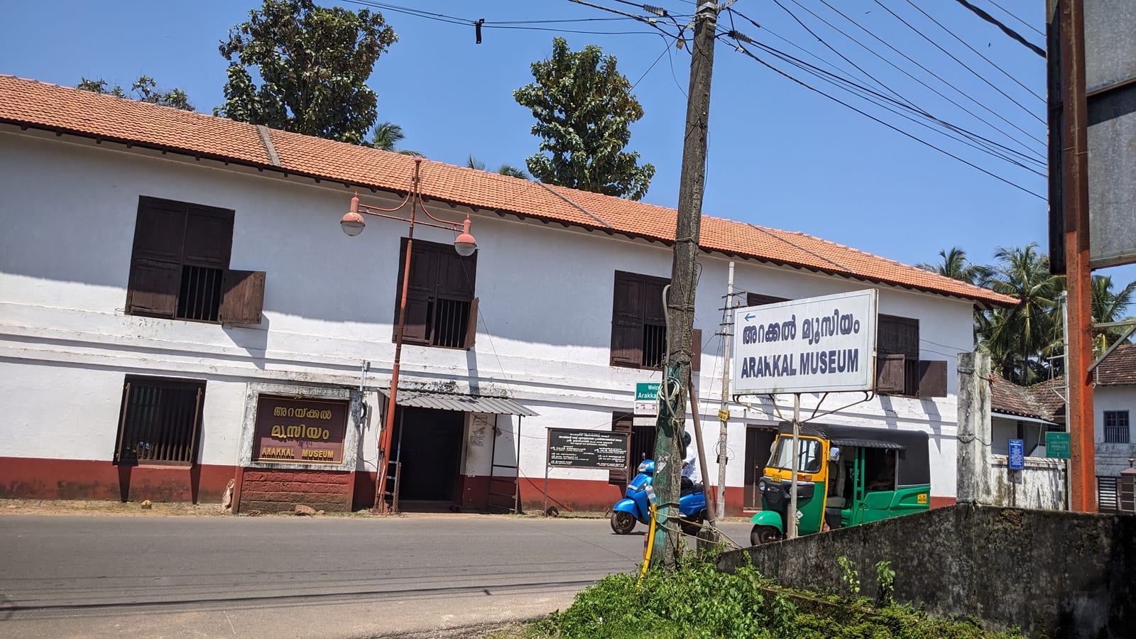
museumArakkal Museum

The Arakkal Kettu (palace museum) of the Arakkal Ali Rajas — Kerala’s only Muslim royal house, matrilineal so ruled at times by a Beevi (queen).

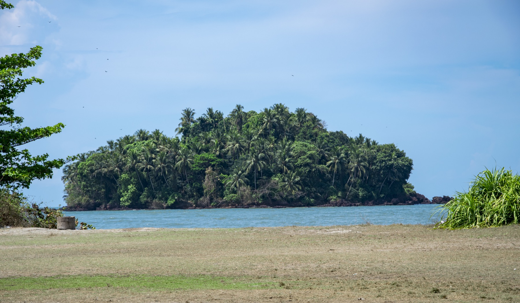
islandDharmadam Island

A small green private island off Muzhappilangad, reachable on foot across the sand at low tide (viewing only; landing is restricted).

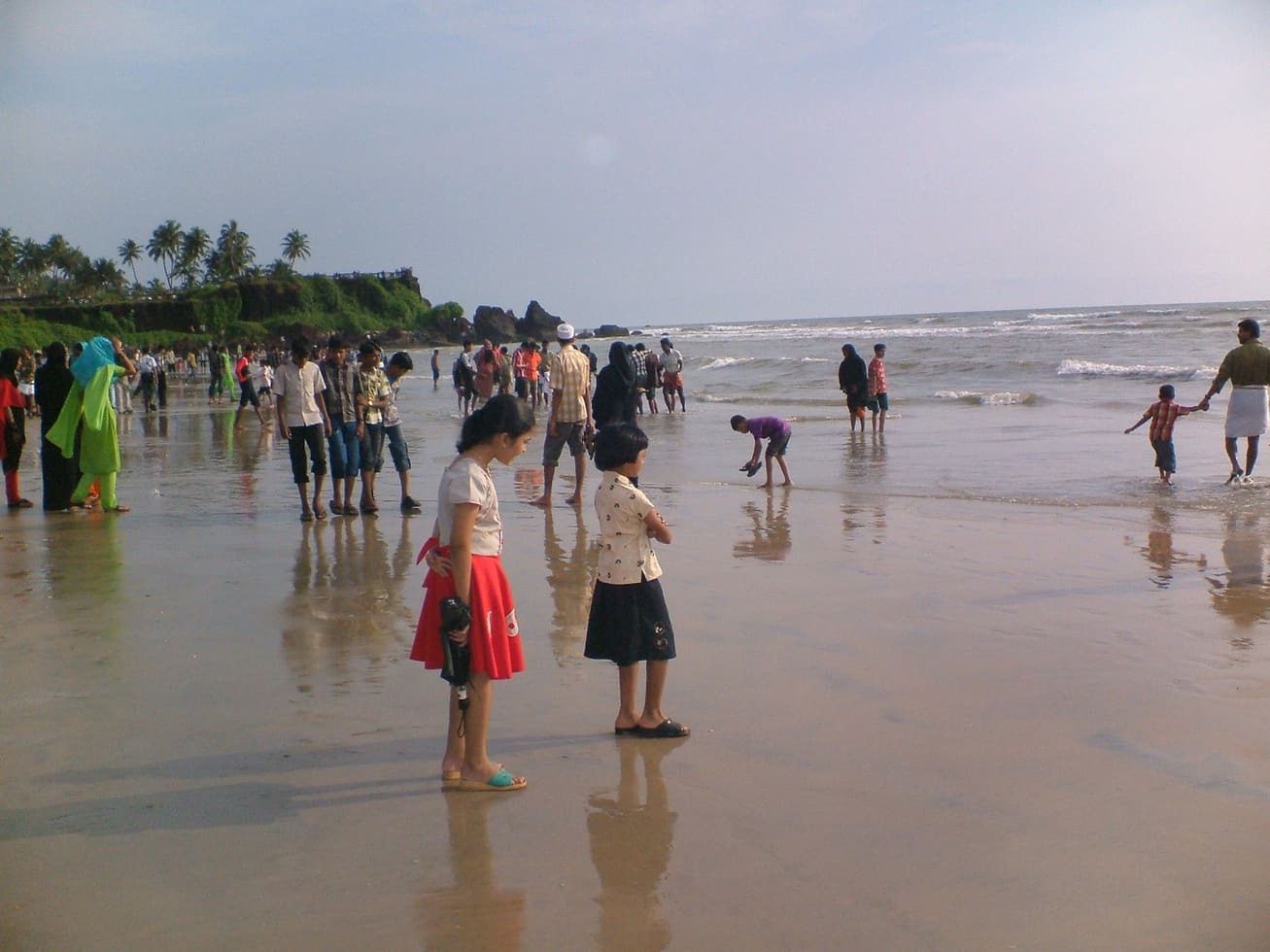
beachPayyambalam Beach

Kannur city’s main beach, with a landscaped garden, the mother-and-child sculpture and long sunset walkways.

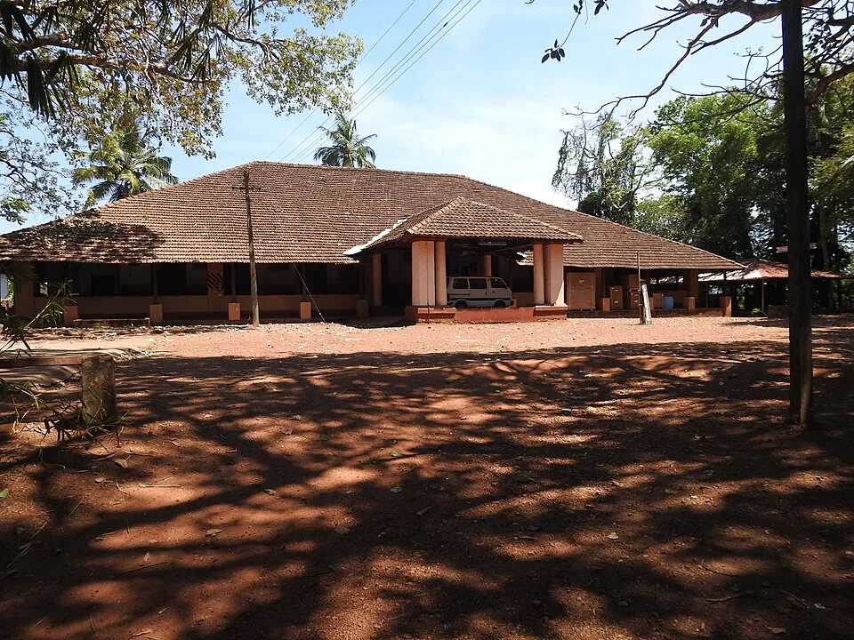
heritageGundert Bungalow

At Illikkunnu near Thalassery, the hillside home of the German missionary-scholar Hermann Gundert, who compiled the first Malayalam–English dictionary and grammar here in the mid-1800s.

viewpointOverbury’s Folly

A cliff-top garden viewpoint over the sea at Thalassery, named after E.N. Overbury, a British judge of the 1870s who began but never finished a mansion here.

heritageThalassery Fort

A square laterite fort built by the English East India Company in 1708 at Thalassery (Tellicherry), heart of the old Malabar pepper and cricket town, with secret sea tunnels.

templeKalarivathukkal Temple

A Bhagavathy temple near Valapattanam regarded as the mother shrine of Kalaripayattu — Kerala’s martial art — where Theyyam is performed; the goddess is guardian of the kalari.

templeParassinikadavu Muthappan Temple

On the Valapattanam river, the temple of Muthappan — where the Muthappan Theyyam is performed morning and evening on nearly every day of the year, and where entry is open to all castes and religions; a snake park is nearby. The exception is the six weeks from the first of Thulam to the fifteenth of Vrischikam, when it stops, and the ritual year begins again with Puthari Thiruvappana around the first of December.

3 detailed place guides in Thottada →

On the map

Where Kizhunna Beach is

Good to know

Kizhunna Beach — frequently asked

Are Kizhunna and Ezhara the same beach?

No. They are neighbouring beaches often promoted under a combined name. Ezhara lies south of Kizhunna; confirm the specific beach or property approach when arranging transport.

Where is Kizhunna in relation to Thottada?

Kizhunna lies south of Thottada on the Kannur coast. Rocky and hilly interruptions separate the shore stretches, so an uninterrupted beach walk should not be assumed.

What is Cherakallu at Kizhunna Beach?

Cherakallu is the name associated with the coastal rock formations around the southern beach stretch. Rounded outcrops and water channels create a distinctive view; observe them from safe dry ground.

Can I swim at Kizhunna Beach?

Plan this visit around walking and observing the shore. A supervised swimming area and lifeguard coverage have not been verified for the exact approach, and rocks and changing sea conditions require caution.

Which railway station is useful for Kizhunna?

Kannur is the rail gateway identified by Kerala Tourism, about 11 km away in its visitor account. Arrange the final road transfer to the chosen Kizhunna access lane.

Can I use the facilities of a beachfront homestay?

Only by arrangement with that property. A publicly accessible beach does not make a private garden, dining room, toilet or parking area available to every visitor.

Is Kizhunna suitable for watching birds?

Small birds have been photographed feeding on its wet sand. Watch any group from a distance and avoid driving it along the shore; no particular species or daily sighting is promised.

How much time should I allow at Kizhunna?

Allow roughly 45–90 minutes for a short walk and a pause beside the sea. Keep a separate road transfer in the plan if visiting another cove or returning to Kannur for a meal.

Read before you go

Kizhunna Beach guides, stories & itineraries

Stories & history of Kizhunna Beach

Written about Kizhunna Beach itself — its history, its legends and the arguments about them.

Around Thottada

These reads cover nearby destinations, each with its own arrival point and visit arrangements.

Kerala-wide guides & itineraries

Route-level itineraries and practical guides for the rest of Kerala.

See all 30 Kannur guides & stories →