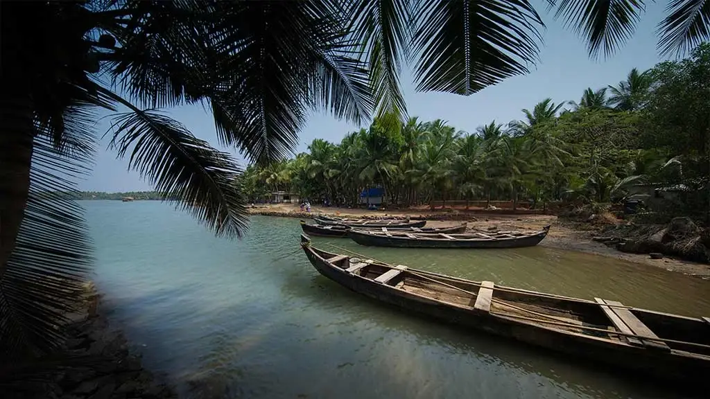
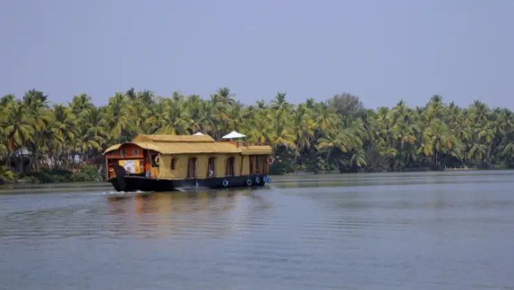
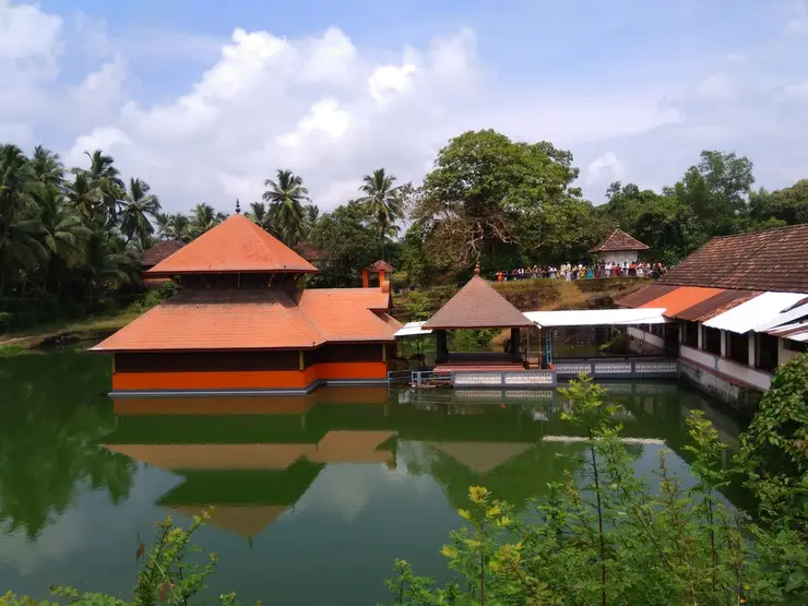
The most revealing view of Valiyaparamba includes signs of use: a narrow timber boat pulled beside a coconut shore, a houseboat moving through open water, or a landing where someone is waiting to cross. The backwater is part of the settlement’s daily geography.
The story of Valiyaparamba Backwaters
Valiyaparamba occupies the narrow coastal country between the Arabian Sea and inland waters. On one side, sand and surf open towards the sea; on the other, palms and low shores border a quieter-looking expanse. Moving between these sides changes the scale and sound of the visit. They belong to one coastal landscape, but they are not interchangeable places to land a boat or enter the water.
The backwater takes its name from Valiyaparamba island. Kerala Tourism describes a system fed by four rivers, with the Tejaswini associated with its northern travel landscape. Water connects places whose road journeys may follow a very different line. A map that shows two shores close together does not establish a bridge, a public path or a boat available on demand.
Fishing gives many shores their working character. Narrow boats lie beside coconut groves, and the district administration identifies fishing, mussel cultivation and coconut-related work among local livelihoods. These activities are a better starting point for understanding the place than describing it as an empty water wilderness. People live beside and work on the water that visitors come to photograph.
Passenger transport offers one way to see that relationship. The State Water Transport Department publishes a timetable from Ayitti, with services towards destinations including Padanna and Kotti. The useful experience is a journey between real landing places. Passengers may be travelling for errands or onward connections, so a sightseeing visitor should fit into the service’s purpose and boarding routine.
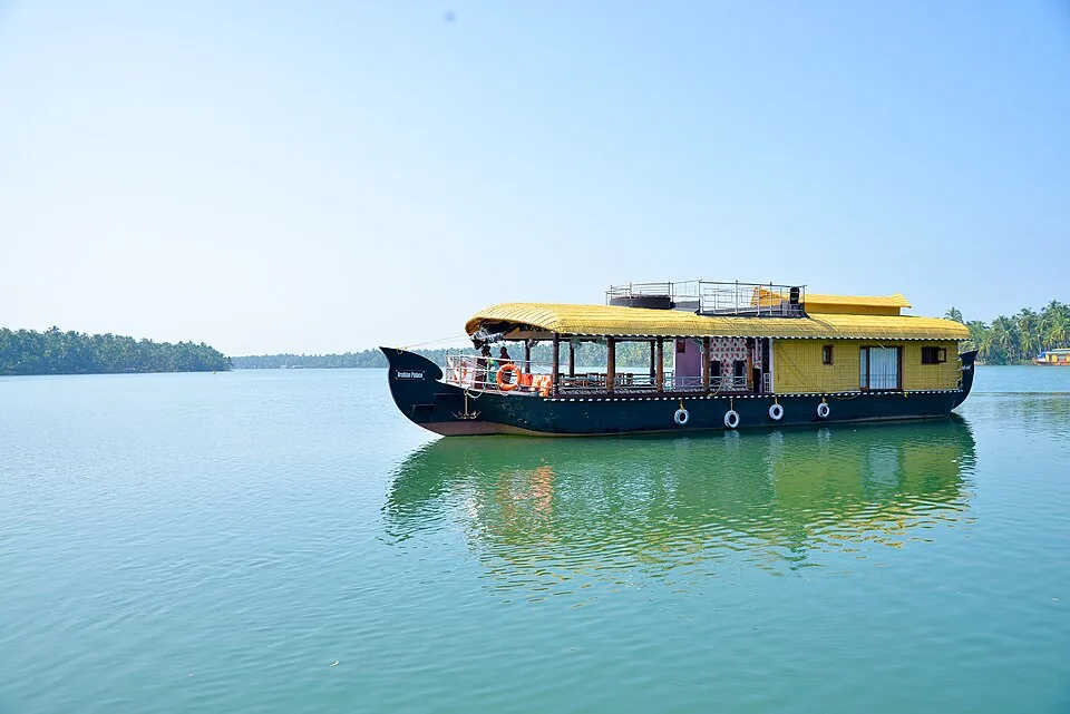
A houseboat offers a different kind of time on the water. Its route, meal arrangements and duration are agreed with an operator, and the starting terminal may be elsewhere. BRDC’s destination account identifies houseboat terminals at Ayitti and Edayilakkad and a wider Kottapuram–Kannur cruising context. Those names help locate the network; they do not make every boat a service from the same pier.
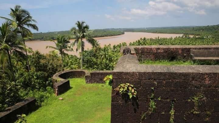
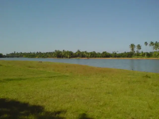
Coconut groves frame much of the shore, while the panchayat also records mangrove vegetation as part of local biodiversity. A useful waterside walk looks at the meeting of land and water: rooted vegetation, small inlets, exposed banks and the places where boats are pulled up. Observing these edges from public ground is enough; entering soft margins can damage habitat and take a visitor onto working or private land.
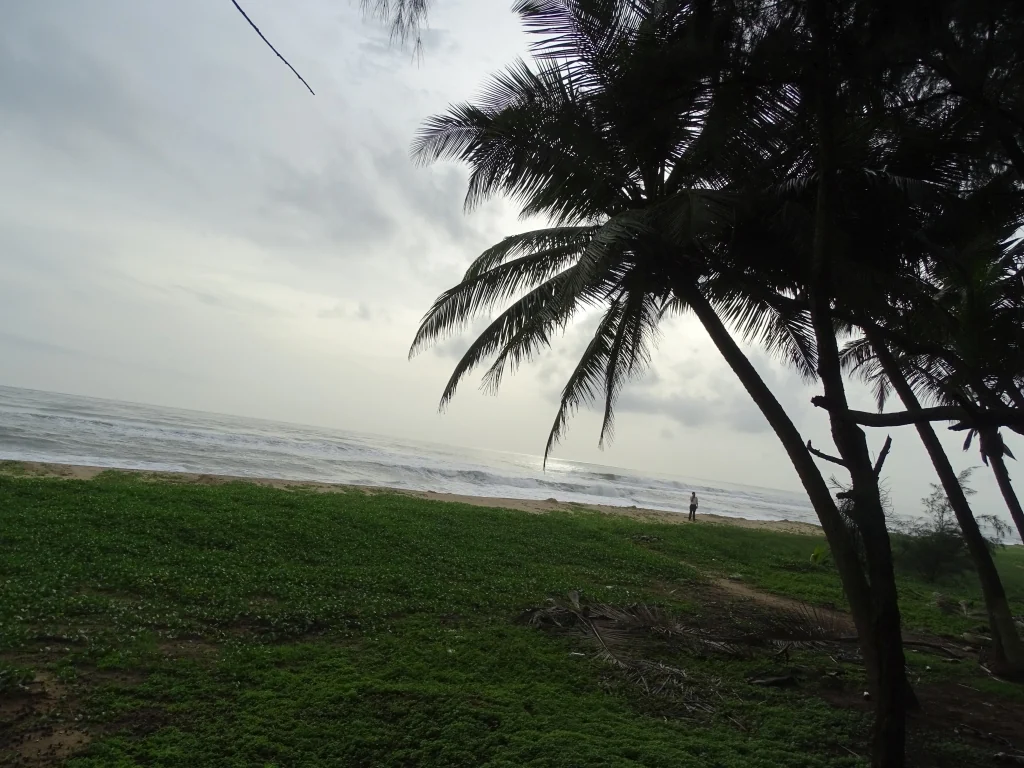
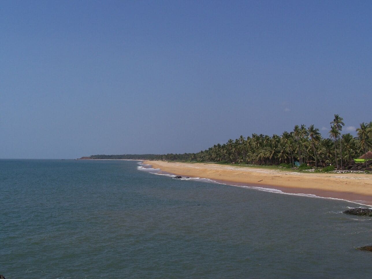
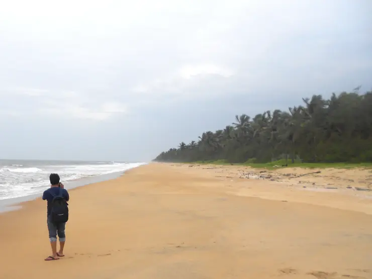
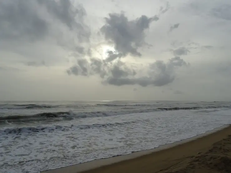
The sea side provides a distinct visual counterpoint. Valiyaparamba beach has an open sand shoreline with coconut trees behind it. A photograph of that beach belongs to the coastal setting, while a houseboat photograph belongs to the inland water. Keeping the two views separate helps a visitor understand the narrow land between them without mistaking the surf beach for a cruise departure point.
Valiyaparamba is included in Kerala Tourism’s STREET initiative through Responsible Tourism. Here the programme’s village and water themes offer a way to connect visitors with local people and livelihoods. Participation should be arranged through a current provider, with the actual activity and host identified. The existence of a programme is not a promise that a household, fishing trip or cultural performance is available to walk-in visitors.
Season changes the practical visit as well as the colour of the landscape. The local-government geography describes heavy rain during the southwest monsoon months and humid summer weather. Water levels, wind and landing conditions influence a boat outing more directly than a general “best season” label. A shorter shore visit can still make sense when the operator changes the day’s water itinerary.
The most satisfying plan usually follows one clear line: arrive at a named base, make a boat journey with a known destination, then spend time at an agreed shore or village stop. That leaves room to notice the boats, homes, palms and changing width of the water. Trying to collect every island name in one outing can turn a landscape visit into a series of uncertain transfers.
Mussel farming gives the water a form of agriculture that is easy to overlook from a moving boat. ICAR-CMFRI’s 2019 study of Padanna Backwaters includes Veliyaparambu among its surveyed farming areas. In the shallow-water rack method, upright poles support crosspieces above high tide, with seeded ropes hanging into the water. The visible framework is only the upper part of the farm; much of its growth is suspended beneath the surface.
The same research follows water entering the backwater system from the Arabian Sea through the Cheruvathur bar mouth. Tidal exchange matters to cultivation because it moves water and food through the farming areas. The study’s response to farming problems included better flushing and less crowded farm layouts. This gives a practical meaning to the open spaces between racks: a productive backwater needs circulation as well as structures on which mussels can grow.
Kerala Tourism’s STREET booklet places village life alongside water-based activity at Valiyaparamba. Its description includes fishing practices, local markets and encounters with the community. These are useful choices for someone who wants more than a cruise. When arranging such a visit, ask which host is involved, where the meeting takes place and whether the activity is observation or participation. Fishing work follows the people doing it and the conditions on the water, so an itinerary should name what has actually been arranged.
The booklet also associates the area with Theyyam through its art-and-culture theme. A ritual performance is not a permanent attraction attached to every backwater ticket. If that is the purpose of the trip, establish the particular shrine, date and local visiting directions before fixing the journey. A houseboat departure and a ritual programme may belong to the same wider region while running on entirely different schedules. The cultural visit deserves its own attention rather than becoming an assumed extra after lunch on a boat.
Mangrove margins add another kind of shoreline to the coconut groves and open sand. The panchayat records mangrove vegetation within local biodiversity, while the tourism booklet identifies birds associated with the water landscape, including Brahminy kites and white-bellied sea eagles. These are possibilities for observation rather than a guaranteed species list for a short outing. A host-guided nature visit can concentrate on the appropriate shore and tide conditions without taking a visitor through soft rooted margins or disturbing fishing activity.
For a family boat outing, the boarding arrangement is as important as the vessel’s photograph. Establish the actual jetty, the step between landing and deck, seating, shade and the lifejackets available for the group. A passenger service and a houseboat can offer very different boarding surfaces and time on the water. If someone cannot manage the transfer safely, a road-based shoreline visit can still show the fishing boats, village setting and contrast with the sea without committing to a crossing.
On a one-way passenger trip, write down both landing names. Ayitti is the base of the published State Water Transport Department timetable, while the map on this page marks the Valiyaparamba village-side jetty. They stand on different shores. Before boarding, establish where the chosen service ends and how the return will work, especially if a driver is collecting the group. A planned crossing becomes much simpler when the boat destination and road pickup use the same specific landing name.