What to expect
Highlights
- Heritage experience at Chaliyam
- Architecture, local stories and old trade/cultural routes
- Good fit for guided walks and nearby cafes/shops
The south bank of the Chaliyar mouth, opposite Beypore — site of Kerala’s first railway terminus (1861) and of the Portuguese fort of 1532, both of which were demolished and carted to Kozhikode. One well and some laterite courses on the beach are what is left.
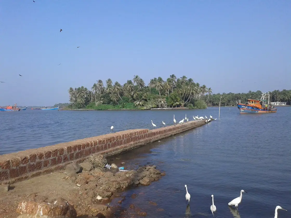
The south bank of the Chaliyar mouth, a few hundred metres of water from Beypore and about forty minutes from it by road. Two of the most consequential structures ever built in Malabar stood here — a Portuguese fort of 1532 and Kerala's first railway terminus of 1861 — and both were taken apart and carried to Kozhikode. What survives is one well, walled and marked, and some laterite courses coming out of the sand on a public beach. It is a working fishing village with a lighthouse, an old mosque, a new promenade and no crowds.
Chaliyam is effectively an island, and the geography is the whole point. The Chaliyar closes it to the north, the Kadalundi river to the south, the Conolly Canal to the east and the Arabian Sea to the west. It is a revenue village on the south bank, administratively tied to Feroke, sitting directly opposite Beypore across perhaps nine hundred metres of river mouth — and for the whole of its recorded history that nine hundred metres has decided what happened to it.
The name is a trade. Chaliyam takes its name from the Chaliyar or Chaliyanmar, the weavers, and so does the river that runs past it. Ibn Battuta came here around 1342. You will find him quoted describing a fine city famous for its weaving, and we have not been able to trace that quotation to any translation of the Rihla, so we say only that he visited.
Two things were built here that mattered enormously and neither is standing. In 1532 the Portuguese completed a fort on the sand at the river mouth, and held it for thirty-nine years until the Zamorin's forces starved the garrison out in 1571 and pulled it down to the ground. In 1861 the Madras Railway ran Kerala's first line to a terminus here, a station described locally as being as large as today's Kozhikode station, and abandoned it in 1888. Both times the material was carted away and reused. That is the page's real story and it is told in full below.
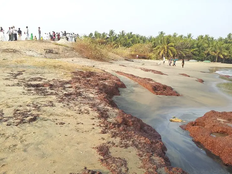
What you can actually stand on is more modest and more honest than the guidebooks suggest. On the beach where the sea meets the Chaliyar there are low, straight, parallel courses of dark red laterite running out of the sand toward the surf, with at least one clean right-angle return, and local attribution calls them the fort's footings. Photographs support that reading. But laterite also outcrops naturally on this coast, there has been no archaeological survey, and the site has no ASI or INTACH protection of any kind. The most careful Malayalam account puts it exactly right: the place where the Franks' fort stood can still be seen at Chaliyam. The place, not the fort.
Of the railway there is one thing left, and it is better than a ruin because you can say what it was for. A large well survives, and local Malayalam calls it the vandi kinar, the engine well — dug to fill the locomotives with water and to serve the turning of engines and bogies. A steam terminus cannot exist without one. Some department has built a wall around it and marked it as a historical landmark. There is no published pin for it, so ask in the village rather than trusting a map.
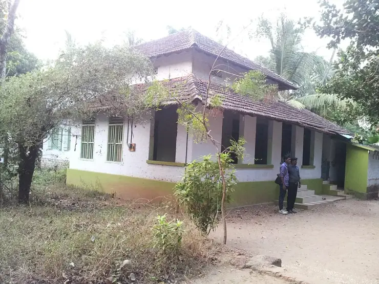
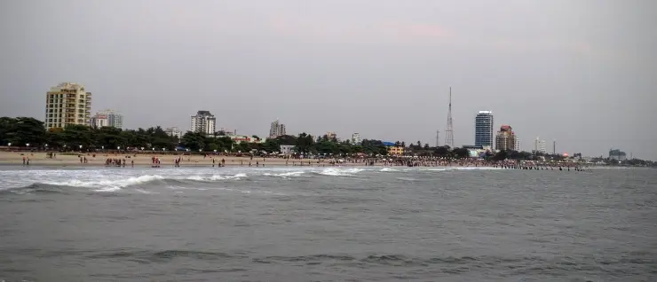
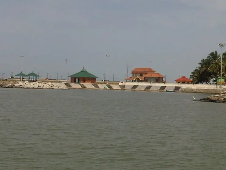
The rest is a working village and it repays a slow half-day. There is a fishing harbour beside the ferry jetty with the coastal police station next to it, where boats are hauled out and fish is landed and sold cheap off the quay. There is Puzhakkara Palli, a low whitewashed mosque under a two-tiered clay-tiled roof, by tradition on the site of one of the ten mosques founded on this coast by Malik ibn Habib. There is a red-and-white banded lighthouse above the palms. There is a Forest Department medicinal-plant garden signed as the Itty Achuthan memorial. And since December 2024 there is a kilometre of beach promenade with granite seating and bamboo kiosks, which the tourist coaches have not yet found because they all go to Beypore.
Chaliyam has been carried away to Kozhikode twice, three hundred and seventeen years apart, and both times the material went straight into a working building.
Start with how the fort was made. In 1530 a Portuguese squadron took six Marakkar ships beyond Ezhimala; the following year more of the Zamorin's ships bound for Gujarat were seized and Ali Ibrahim Marakkar and others taken prisoner. It was after that reverse, in the words of one Malayalam account, that the Zamorin was compelled to permit the Franks to build a fort at Chaliyam. The local ruler was bought rather than beaten: Governor Nuno da Cunha offered the Chaliyam raja, Unni Rama, two thousand pardaus and half the customs revenue, and he agreed after persuasion from his neighbour the Raja of Tanur. Permission came in 1531 and the fort was finished in 1532, with a chapel called Santa Maria de Castello, a house for the commander, barracks and store-houses. Contemporaries called it a pistol held against the throat of the Zamorin.
It was built out of a mosque. The Portuguese demolished the Friday mosque at Chaliyam — by tradition one of the ten founded on this coast by Malik ibn Habib, deputy of Malik Dinar — together with its burial ground, and used the stones and the timber of the mosque and the stones of the graves to raise the fort. That is what Zainuddin records, and what the Malayalam sources record. It is worth being precise, because a temple is often added to that list and no source we could find contains one. The materials were a mosque and its graveyard.
Thirty-nine years later the Zamorin took it back. The siege began on 14 July 1571 under Calicut's commander Mangattachan, with forty guns, artillery placed at the river mouth to close the supply route, trenches dug all round, and reinforcements from Kochi and Kannur intercepted at sea. The garrison was starved; accounts say the defenders were reduced to eating dogs. The Portuguese commander Dom Jorge de Castro surrendered in November and was executed at Goa for it. Historians read Chaliyam as the beginning of the Portuguese decline on this coast — and when a Portuguese force returned in 1572 there was nothing to retake, because the fort had been utterly demolished; they overran the village, wrought destruction with sword and fire, and went back.
The demolition was total and the rubble was allocated, and here the sources split in a way that is itself the story. The historian Manu S. Pillai, quoting a contemporary chronicler, writes that all these stones and the wood from Chaliyam were carried into Kozhikode and placed in the yard at Mishkal for the mosque — the great timber Mishkal Mosque at Kuttichira that Albuquerque's men had partly burned in January 1510, rebuilt in 1578-79 under the Zamorin's supervision, and coming back four storeys where it had been five. Pillai's attribution matters here, because English Wikipedia's article on the Mishkal Mosque discusses that rebuild without the Chaliyam claim at all, so this rests on Pillai and on Malabar tradition rather than on the standard reference accounts. The Malayalam sources say something different and equally specific: the Zamorin gave the fort's stones and timber for the rebuilding of the demolished Chaliyam mosque. Treat it as a split consignment and the circle closes either way. A mosque became a fort became a mosque again.
Then it happened to the railway. Kerala's first line opened on 12 March 1861 to a terminus here — named Beypore, though Beypore is on the other bank and no train ever reached it, because the river at its mouth was too wide and deep to bridge. The station was abandoned on 2 January 1888 when the line reached Kozhikode, and the buildings were demolished and the material carted eleven kilometres north and built back into the railway there. English accounts say it became an engine shed; local Malayalam accounts say it became the first Kozhikode railway station itself. Beware the dates in circulation: one Malayalam source prints 12 March 1886 and an establishment date of 1860. The first run was 12 March 1861; 1860 is when the buildings were finished.
So: two structures, both demolished on purpose, both quarried for somewhere else. Between them, all that stands above ground is a walled well and some laterite in the sand. Chaliyam has not been demolished by neglect. It has been demolished by demand.
Chaliyam, Beypore and Kadalundi together form one of the proposed identifications for Tyndis, the emporium named in the Periplus of the Erythraean Sea and by Ptolemy in the first and second centuries CE — not the leading one, because no source ranks them and no archaeological evidence of Tyndis has ever been found. Islamic settlement here is old and, by tradition, very old: the mosque is counted among the ten built in Malabar by Malik ibn Habib on Malik Dinar's instruction, with Jafar ibn Sulaiman appointed as Chaliyam's qazi. That is tradition rather than archaeology — the standing building is later Kerala-Islamic — but two fourteenth-century Islamic tombstones are recorded at Chaliyam, and Ibn Battuta visited around 1342.
The Portuguese fort was permitted in 1531 and completed in 1532 under Governor Nuno da Cunha, on ground taken by demolishing the Friday mosque and its graveyard. It carried a chapel, Santa Maria de Castello, a commander's house, barracks and store-houses, and it commanded the southern approach to Calicut for thirty-nine years. The siege of 1571 began on 14 July under Mangattachan and ended with the surrender of Dom Jorge de Castro in November; the fort was levelled, in the phrase that survives in the chronicles, leaving not one stone upon another. De Castro was executed at Goa.
The coastal road laid during Tipu Sultan's campaigns runs through Chaliyam from the Beypore river to the Kadalundi river and is still called Tippu Sultan Road.
On 12 March 1861 the Madras Railway opened the first line in what is now Kerala, from Tirur to a terminus here. Chaliyam was chosen on engineering rather than commercial grounds — safer anchorage, a natural reef acting as a breakwater, and decisively the Chaliyar, navigable inland towards the Nilambur and Wayanad timber country. The line existed to move teak. Local accounts describe a station as large as today's Kozhikode station, a large well for filling the engines with water and turning engines and bogies, and a wooden jetty on the river for cargo; passengers crossed to Beypore by boat and went on by bullock cart. The station was abandoned on 2 January 1888 when the railway finally bridged the Chaliyar — upstream at Feroke, not at the mouth — and reached Kozhikode. Sources give the old Feroke bridge as 1883 or 1888; we do not pick one. The granite piers of that bridge still stand in the river beside its early-2000s replacement.
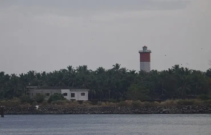
There has been a light on this headland for roughly two and a half centuries: a mast and flag in the eighteenth century, a column with an occulting light in the early nineteenth, and the present red-and-white banded tower, built in 1977 with equipment by M/s J. Stone India, Calcutta, and commissioned on 21 November 1977. It was relamped on 30 July 1998 to a 230 V 400 W metal halide. The Directorate General of Lighthouses and Lightships calls it Beypore Lighthouse, and its own location text says: south side of the mouth of river Chaliyar in Malabar; nearest village is Chaliyam. The government names it after the far bank, exactly as the railway did. A height of 30.48 m is widely printed for it; the DGLL page carries no height at all, so we do not print one.
The modern chapter is a promenade and a bridge that has not been built. Oceanus Chaliyam, a model beach tourism centre, was inaugurated on the evening of 19 December 2024 by the Kerala Tourism Minister P. A. Mohamed Riyas: a one-kilometre embankment walkway, decorative lighting, granite seating, food cafés, fourteen bamboo kiosks, a bamboo restaurant, toilet blocks, twenty-six beach umbrellas, ten bamboo chairs and a watch tower, with Rs 10 crore allocated across a two-phase plan to develop Chaliyam as a water-sports destination. The Beypore Bridge across the Chaliyar, part of the Kerala Coastal Highway, would finally close the nine-hundred-metre gap; the Kozhikode district administration has published a rehabilitation and resettlement package dated 1 October 2021, a social impact assessment report and a Section 4(1) land acquisition notification. Five years of paperwork, and the jankar still runs.
Stand on the site of Kerala's first railway terminus. Not a plaque — a well, dug to water the locomotives, walled around and marked. The station it served was as large as today's Kozhikode station and was carted away in 1888.
See what is left of the Portuguese fort of 1532: low parallel courses of red laterite running out of the sand on a public beach, with a right-angle return. Honest, unfenced, and not a monument you buy a ticket for.
Cross on the jankar. The vehicle ferry between Chaliyam and Beypore is the direct descendant of the 1861 gap — the river the railway could not bridge, and still hasn't. Minutes across, against about 16 km by road round through Feroke.
Puzhakkara Palli, a low whitewashed mosque under a two-tiered clay-tiled roof, by tradition on the site of one of the ten mosques founded on this coast by Malik ibn Habib — and the mosque whose stones the Portuguese took to build their fort.
The lighthouse that is at Chaliyam and called Beypore. There has been a light of some kind on this headland for about two hundred and fifty years; the present tower was commissioned on 21 November 1977.
A quiet working coast with a brand-new promenade nobody has found yet. Fish landed and sold off the harbour quay, a Forest Department medicinal-plant garden signed as the Itty Achuthan memorial, and a one-kilometre beach walkway opened in December 2024 — while the coaches all go to Beypore.
Road km to Kozhikode; ghat roads and traffic vary — allow extra.
November to February and early mornings are best for walking; avoid midday heat where possible.
Live forecast loads in your browser.
Sun and moon are calculated for this location and shown in IST. Photography windows are the hour around sunrise and sunset; the sunset bearing is degrees clockwise from true north. Moon phase is accurate to about half a day.
Verified hotels, homestays, restaurants, experiences, sights, shops and rentals around Chaliyam — commission-free, with direct contact. Filter by what you need.

Malabar restaurant in Beypore. Kannur Road, Kozhikode, Kerala, for Beypore access · beypore, eat, Malabar restaurant.

City hotel base in Beypore. Mavoor Road, Kozhikode, Kerala, for Beypore access · beypore, stay, City hotel base.
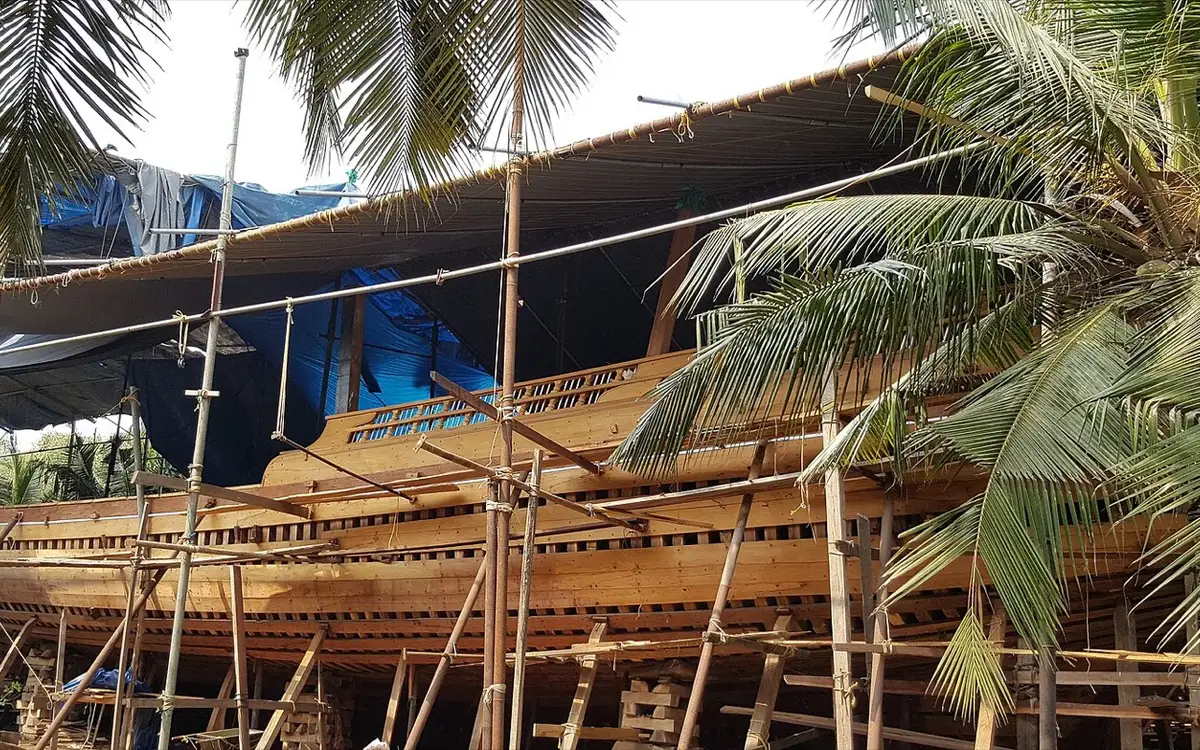
Uru heritage source in Beypore. Beypore, Kozhikode district, Kerala · beypore, Uru heritage source, see.
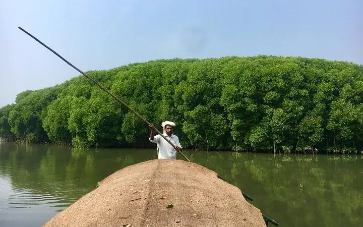
Tyndis offers Calicut mangrove and Beypore/Calicut storytelling experiences, useful for travellers seeking guided heritage, outdoor and local-essence tours. Tyndis Travel, Co Orbit, 10th floor, Noel Focus, Infopark-Kakkanad Road, Kochi, Kerala 682037 · Tyndis, Beypore tour, Mangrove trail.
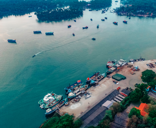
Official Kerala Maritime Board contact for Beypore Port context. Public port context; access rules apply · Beypore Port, Kerala Maritime Board, Port heritage.
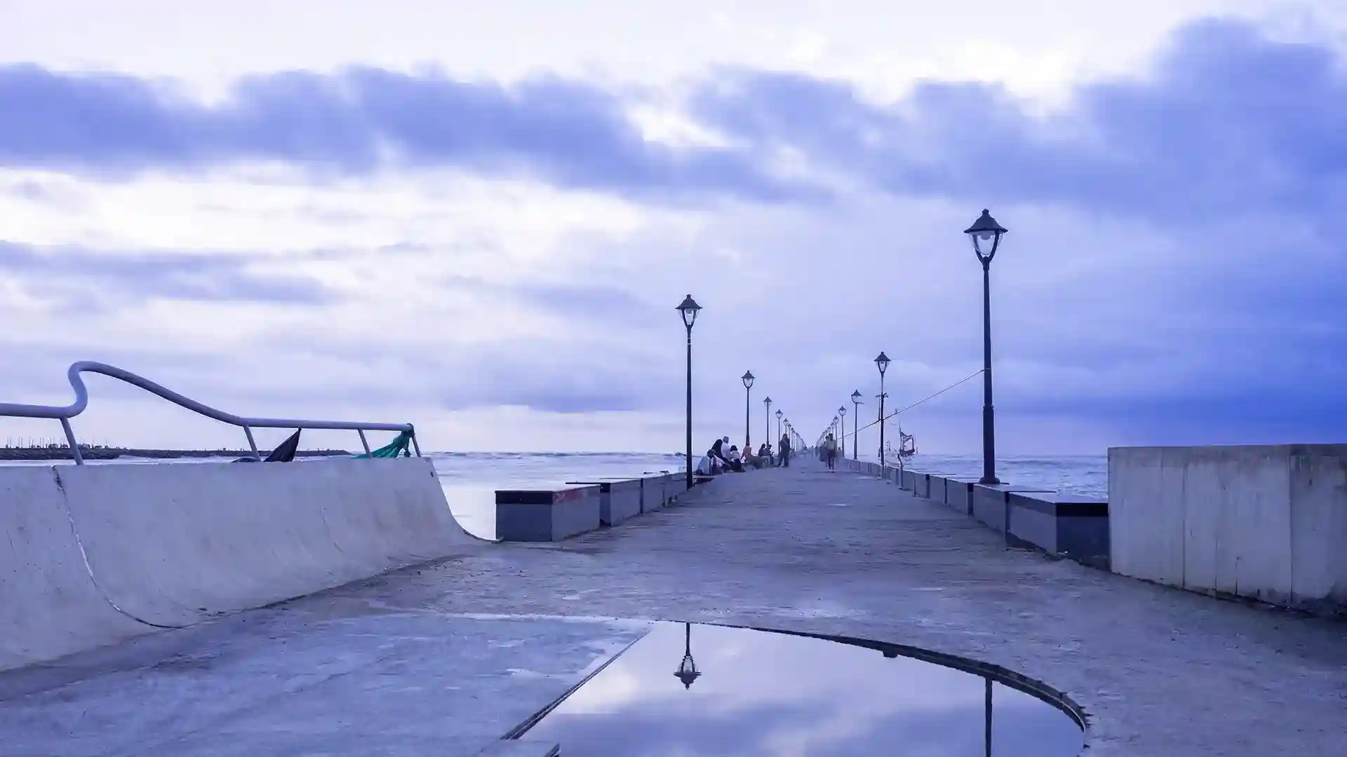
Beypore is Kozhikode district old port and shipbuilding quarter at the Chaliyar mouth, with beach, walkway, uru craft and water-festival context. Public destination; check current facilities · Beypore, Uru, Port heritage.
Beachfront villa stay with private infinity-edge pools facing the Arabian Sea. It sits beside the Kadalundi bird sanctuary on the Beypore-Kadalundi estuary fringe.
City Heritage Beypore Uru Guided Walk is a researched guided heritage walk support record for beypore, added to improve practical Kerala trip planning without duplicating an existing same-place listing. Beypore, Guided heritage walk support, do.
Book with the place itself. India’s cyber-crime coordination centre warned in April 2025 that convincing copies of hotel and pilgrimage booking sites are being pushed through sponsored search and social ads, taking payment for rooms the property never hears about. Every listing here links to the business’s own contact details and its own Google or Bing profile — we take no commission and sit in nobody’s payment path. If a booking page reached you through an ad, check the address bar against the property’s own site before you pay. Fraud can be reported on cybercrime.gov.in or on 1930.
Find food, accommodation and activities across Beypore. Browse the guides for places to eat, stay and explore along your route.
One more place around Beypore worth a day of its own.
Roampedia is commission-free — own or know a stay, eatery, guide or shop near Chaliyam? List it and it appears here once verified.
Add a nearby businessEntry: Nothing here is ticketed. The fort site is a public beach, the railway well is village ground and the promenade is free.
Photography: Fine everywhere in public, but two courtesies. The harbour is a workplace — ask before photographing faces at the landing. The mosque is in use. The lighthouse is a working aid to navigation under the DGLL, so photograph it from outside rather than assuming access.
If you are travelling by bus or ferry, check the return service with the operator before setting out. Leave time to reach the stop or jetty after your visit.
Ask at the bus stand for the time of the last service back, not the next one. If you miss it, an auto or app cab is the fallback — agree the fare before you get in.
If you need step-free access, contact the site before travelling. Ask about a level entrance, steps along the route, the nearest drop-off point, seating and accessible toilets.
Emergency numbers are verified against official government and state tourism sources. 112 works anywhere in India.
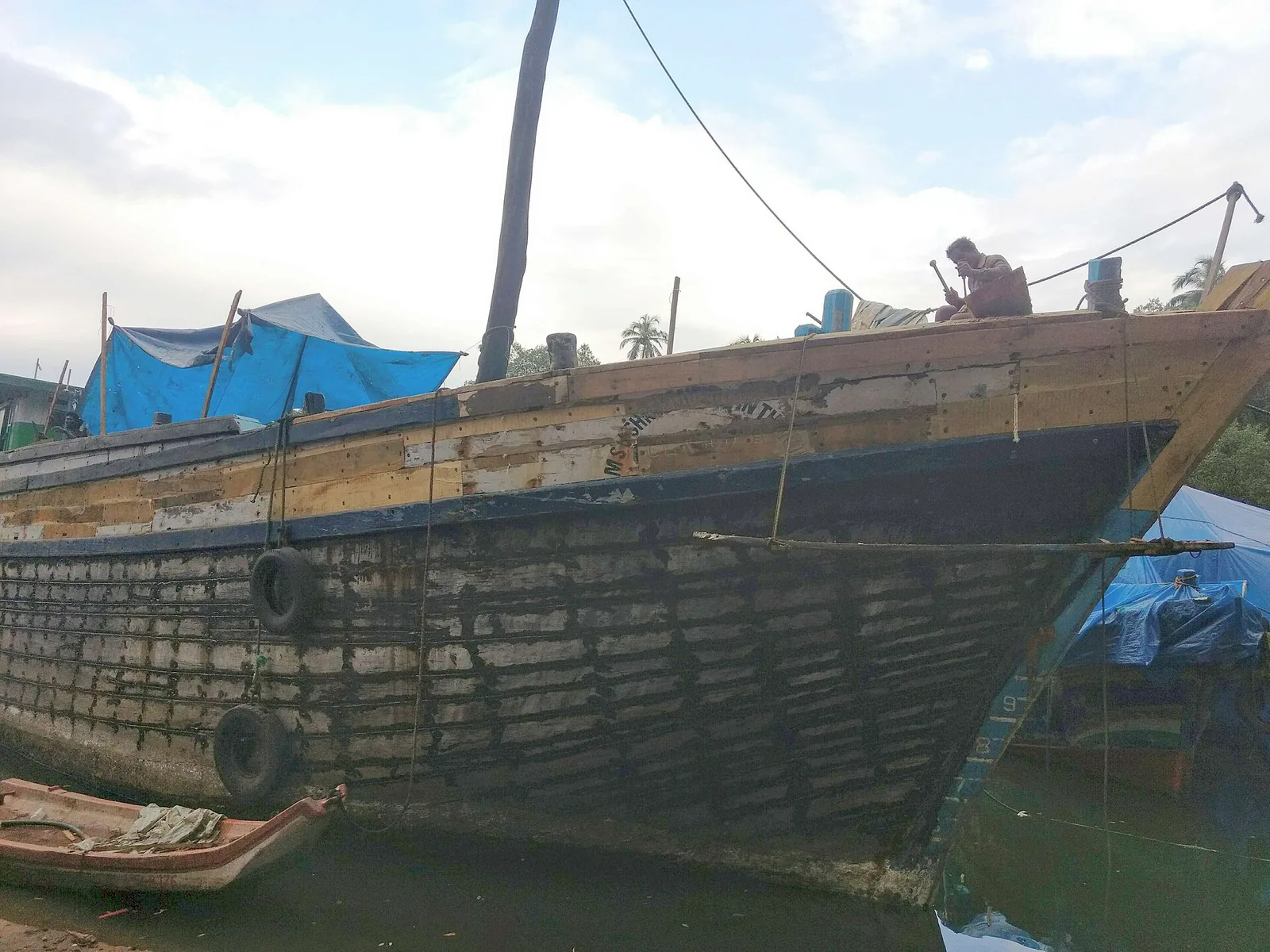
Old port and boat-building area known for uru construction.
2.2 km · 28 min walk · straight line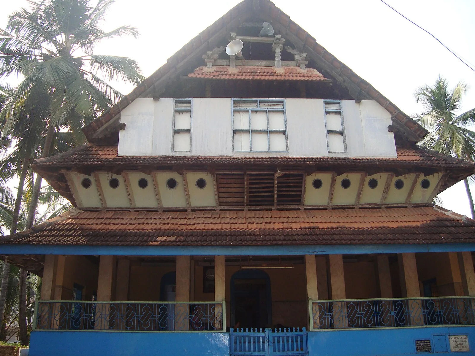
Kuttichira mosque built by a freed slave and endowed by the Zamorin, holding a 13th-century bilingual Vattezhuthu–Arabic inscription; it has no minbar and holds no Friday prayers.
9.8 km · ~16 min by cab · straight line
Historic shopping street and sweet-stall area in Kozhikode city.
10.1 km · ~17 min by cab · straight line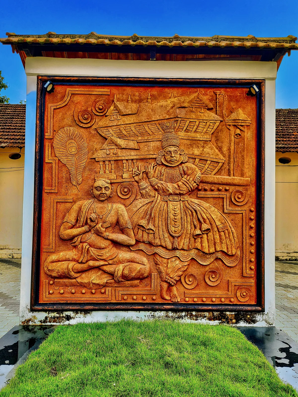
One of Kozhikode’s oldest temples, a laterite-and-timber Shiva shrine near Mananchira long patronised by the Zamorins.
10.2 km · ~17 min by cab · straight line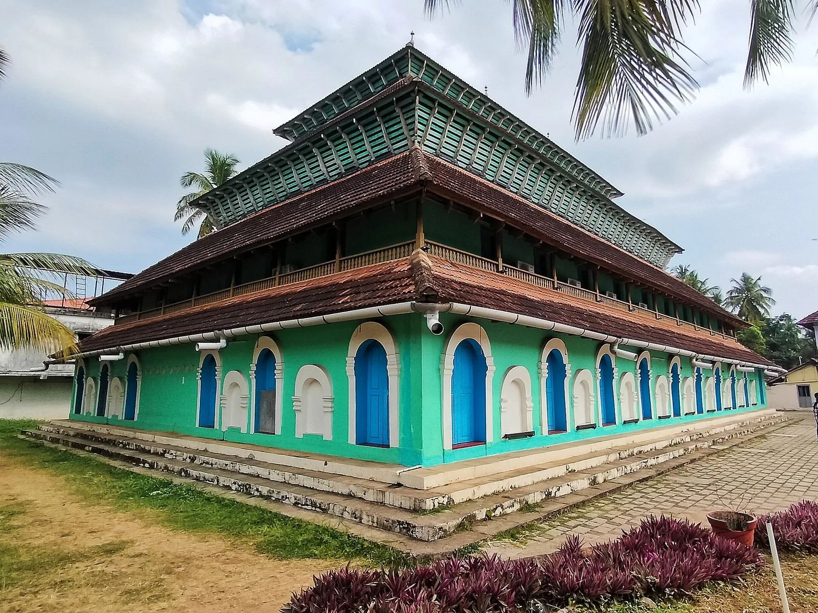
Historic timber mosque at Kuttichira built by a 14th-century Yemeni trader, once five storeys, burned by the Portuguese in 1510 and rebuilt.
10.2 km · ~17 min by cab · straight line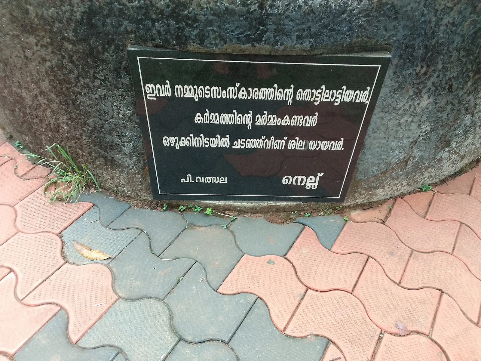
Landmark park in the city centre on the old Zamorin palace grounds, around the Mananchira tank, with a musical fountain.
11.0 km · ~18 min by cab · straight line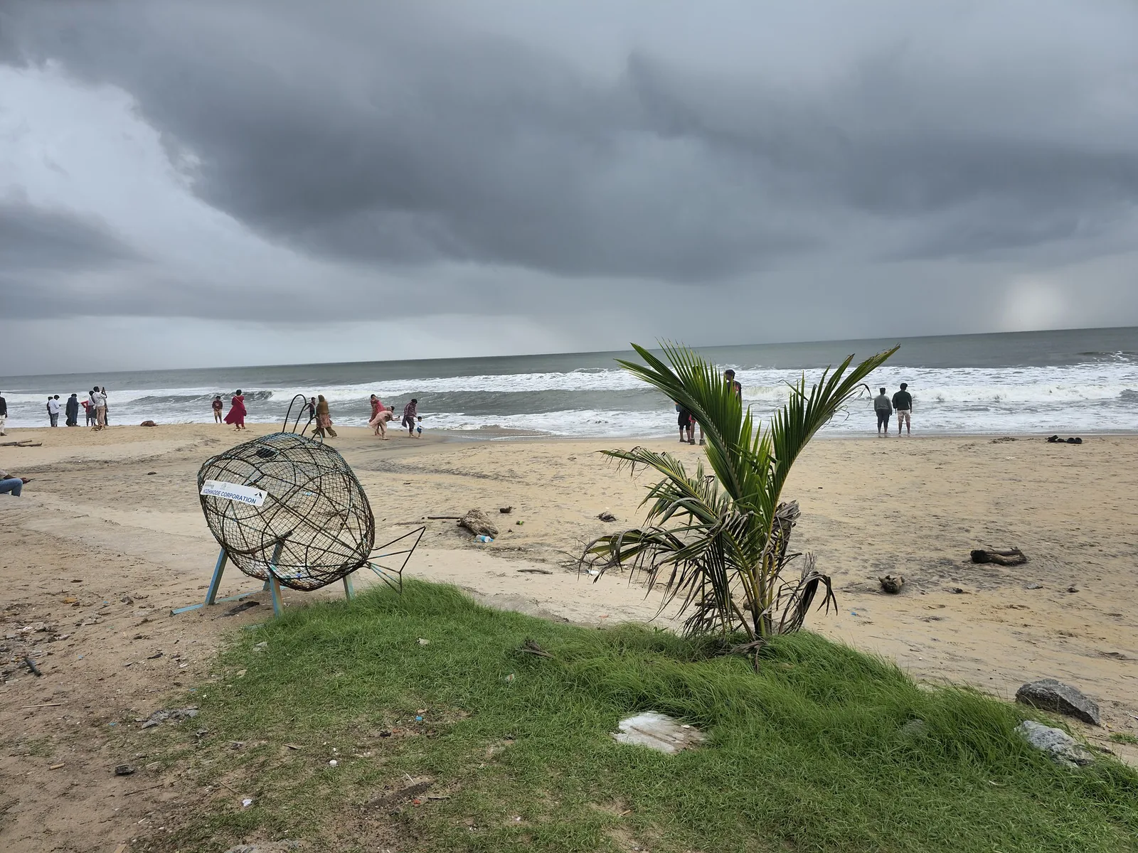
City beach with old pier remains and sunset food stalls.
11.6 km · ~19 min by cab · straight line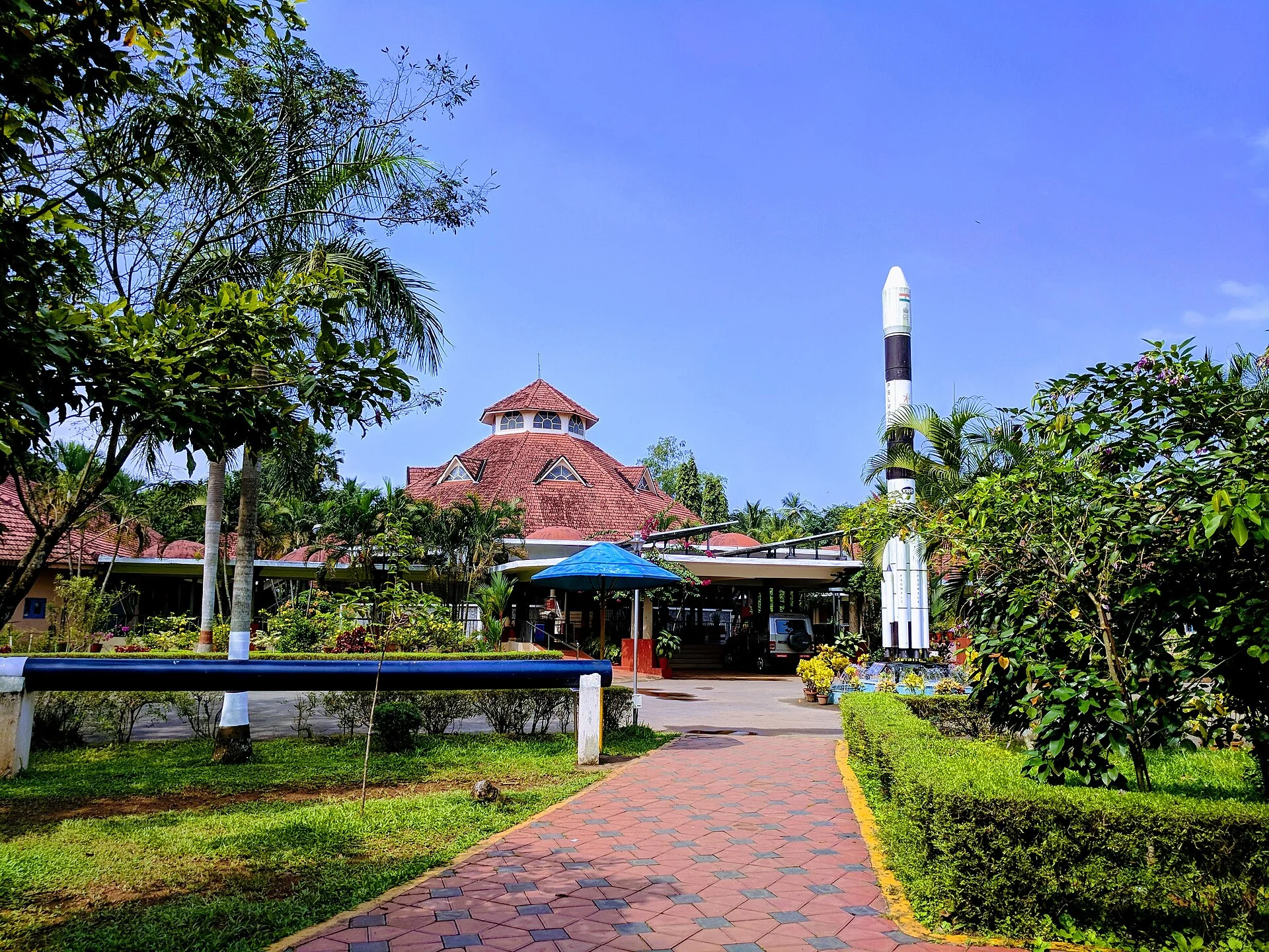
A National Council of Science Museums centre in central Kozhikode — five galleries, a 3D theatre and an outdoor science park. ⚠ Its planetarium has been closed for a projector replacement since 13 July 2026 with no announced reopening date.
11.8 km · ~20 min by cab · straight line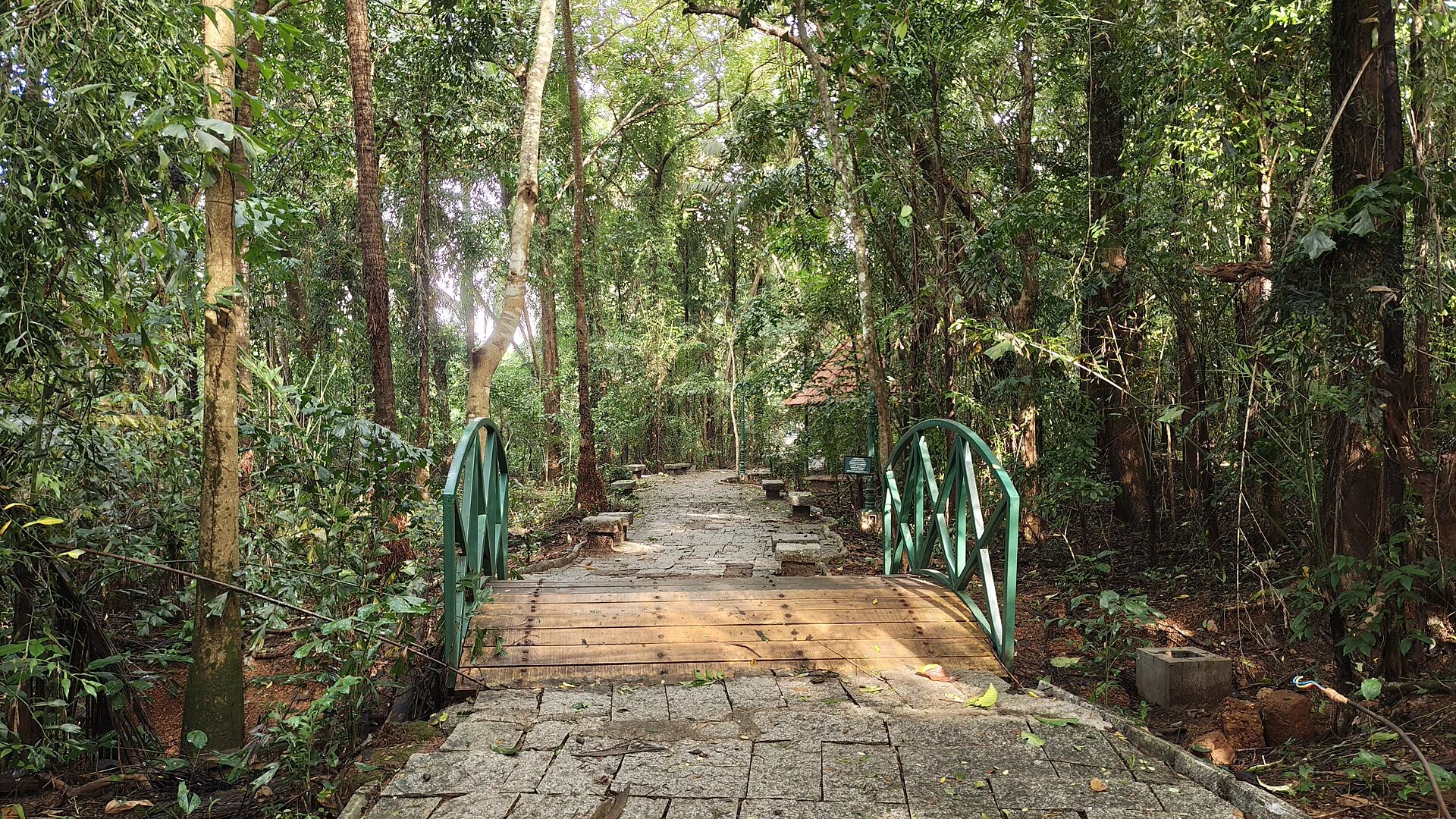
A 98-acre public eco-park on the Conolly Canal in central Kozhikode, the developed part of the Kottooli wetland — mature urban woodland and mangrove-fringed water, mid-renovation and partly not operating.
12.2 km · ~20 min by cab · straight line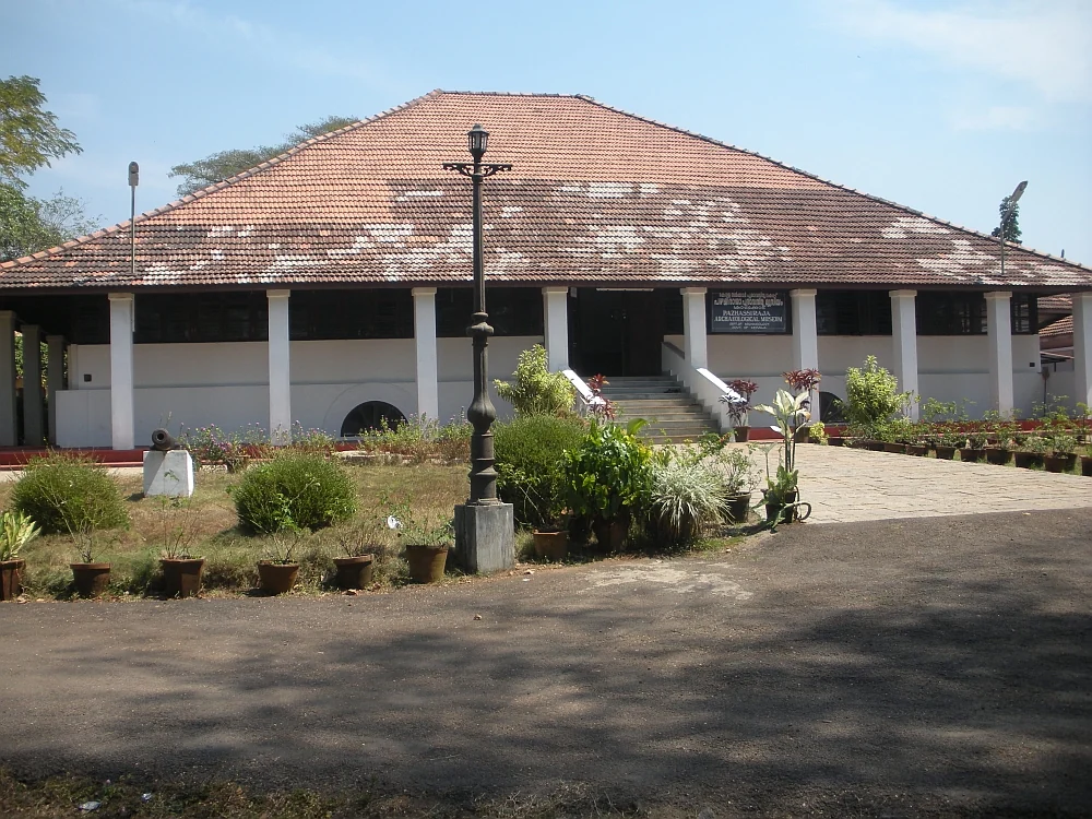
State archaeology museum at East Hill in an 1812 bungalow, with murals, bronzes, coins and megalithic monuments.
15.2 km · ~25 min by cab · straight line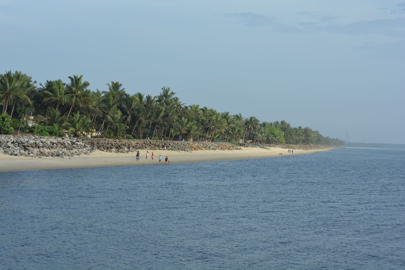
Historic beach associated with Vasco da Gama’s arrival on the Malabar coast.
27.0 km · ~45 min by cab · straight line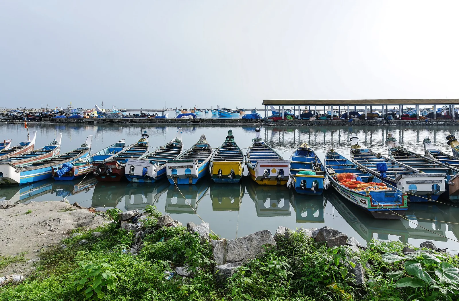
The medieval port of Panthalayani Kollam — Ibn Battuta’s Fandarayna, where Chinese junks wintered, and the anchorage where da Gama’s fleet lay 88 days in 1498. Nothing of the port survives above ground; the working fishing harbour is what you come for.
33.1 km · ~55 min by cab · straight lineNo. The line from Tirur opened on 12 March 1861 and the terminus was named Beypore, but it stood here at Chaliyam on the south bank, and no train ever reached Beypore itself — the river at its mouth was too wide and deep to bridge, so the last stretch was made by boat and then bullock cart. The station was abandoned on 2 January 1888 and its material carted to Kozhikode. Ignore the date 12 March 1886, which one Malayalam source prints; the first run was 1861.
One well. Local Malayalam calls it the vandi kinar, the engine well — a large well used for filling locomotives with water and in turning engines and bogies, which is the working heart of any steam terminus. It still stands, and a department has built a wall round it and marked it as a historical landmark. Surviving foundations are sometimes mentioned but the only source for them hedges the claim, and no surviving station masonry or embankment is documented anywhere. There is no published coordinate for the well — ask in the village.
No fort stands. It was demolished to the ground after the siege of 1571. What is pointed out are low, straight courses of laterite running out of the sand on the beach where the Chaliyar meets the sea, which local attribution identifies as its footings and which photographs support. Be aware that laterite also outcrops naturally here, that there has been no archaeological survey, and that the site has no ASI or INTACH protection. Read it as a place, not a monument.
The Friday mosque at Chaliyam and its burial ground. The Portuguese demolished the mosque — by tradition one of the ten founded on this coast by Malik ibn Habib — and used its stones and timber and the stones of the graves to build the fort in 1532. You will sometimes see a temple added to that list; no source we could find contains one.
The sources split, and both versions are worth knowing. The historian Manu S. Pillai, quoting a contemporary chronicler, writes that the stones and wood were carried into Kozhikode and placed in the yard at Mishkal for the mosque — the Mishkal Mosque at Kuttichira, rebuilt in 1578-79. English Wikipedia's article on that mosque discusses the rebuild without the Chaliyam claim, so it rests on Pillai and on local tradition. The Malayalam sources say the Zamorin gave the fort's stones and timber for rebuilding the demolished Chaliyam mosque. Either way the circle closes.
The jankar vehicle ferry takes cars and bikes across roughly nine hundred metres between the jetties and gives a good view back at the uru yards. The road alternative is about 16 km through Feroke. The operator does not publish dependable timings or fares online, so check at the jetty rather than relying on the frequently quoted 20-to-30-minute interval.
It is at Chaliyam. The DGLL calls it Beypore Lighthouse and its own record says: south side of the mouth of river Chaliyar in Malabar; nearest village is Chaliyam. It is the same mislabelling as the railway, from the same cause — the far bank had the famous name. Commissioned 21 November 1977. The widely printed 30.48 m height is not on the DGLL page, so we do not print a height.
A half day, honestly, and quieter than Beypore. The beach and the one-kilometre Oceanus walkway opened in December 2024, the fish landing at the harbour, Puzhakkara Palli, the medicinal-plant garden signed as the Itty Achuthan memorial, and the walled railway well. Beach, harbour, lighthouse, mosque, market, garden and well are all within about 1.5 km of each other.
About 10-12 km south, via Feroke and the Chaliyam-Feroke Road. The nearest railway station is Feroke — which is on the line that replaced this one, and reached by the bridge that Chaliyam never got.
November to February and early mornings are best for walking; avoid midday heat where possible.
Entry: Nothing here is ticketed. The fort site is a public beach, the railway well is village ground and the promenade is free. Timings: Everything at Chaliyam is open public ground with no gate and no timings — the beach and the Oceanus walkway, the harbour quay, the railway well. The fish landing is busiest in the early morning. Puzhakkara Palli is a working mosque, so visit outside prayer times and ask before entering or photographing. The Forest Department's medicinal-plant garden is gated and we could find no published opening hours.
Base yourself in Beypore or a nearby town in Kozhikode, then confirm the last-mile route locally before leaving. Walkable heritage areas are best done slowly; combine nearby streets, museums, markets and food stops. If the visit depends on forest, temple, boat, ferry, weather or seasonal access, check the official/local rule on the day before travel.
1 to 3 hours.
Nearby you can pair Beypore (2.2 km), Muchundi Mosque (9.8 km), SM Street / Mittayi Theruvu (10.1 km), Thali Temple (10.2 km).
Watch traffic on narrow heritage streets. Keep valuables close in crowded markets.
Written about Chaliyam itself — its history, its legends and the arguments about them.
These guides explore Beypore and the surrounding area. Choose a visit that fits your interests, allowing separately for travel between stops.
Route-level itineraries and practical guides for the rest of Kerala.
Photographs: Sidheeq (CC BY-SA 3.0), Akbarali (CC BY-SA 4.0), Drajay1976 (CC BY-SA 3.0), Vicharam (CC BY-SA 4.0), Irvin calicut (CC BY-SA 4.0). Wikimedia Commons.


