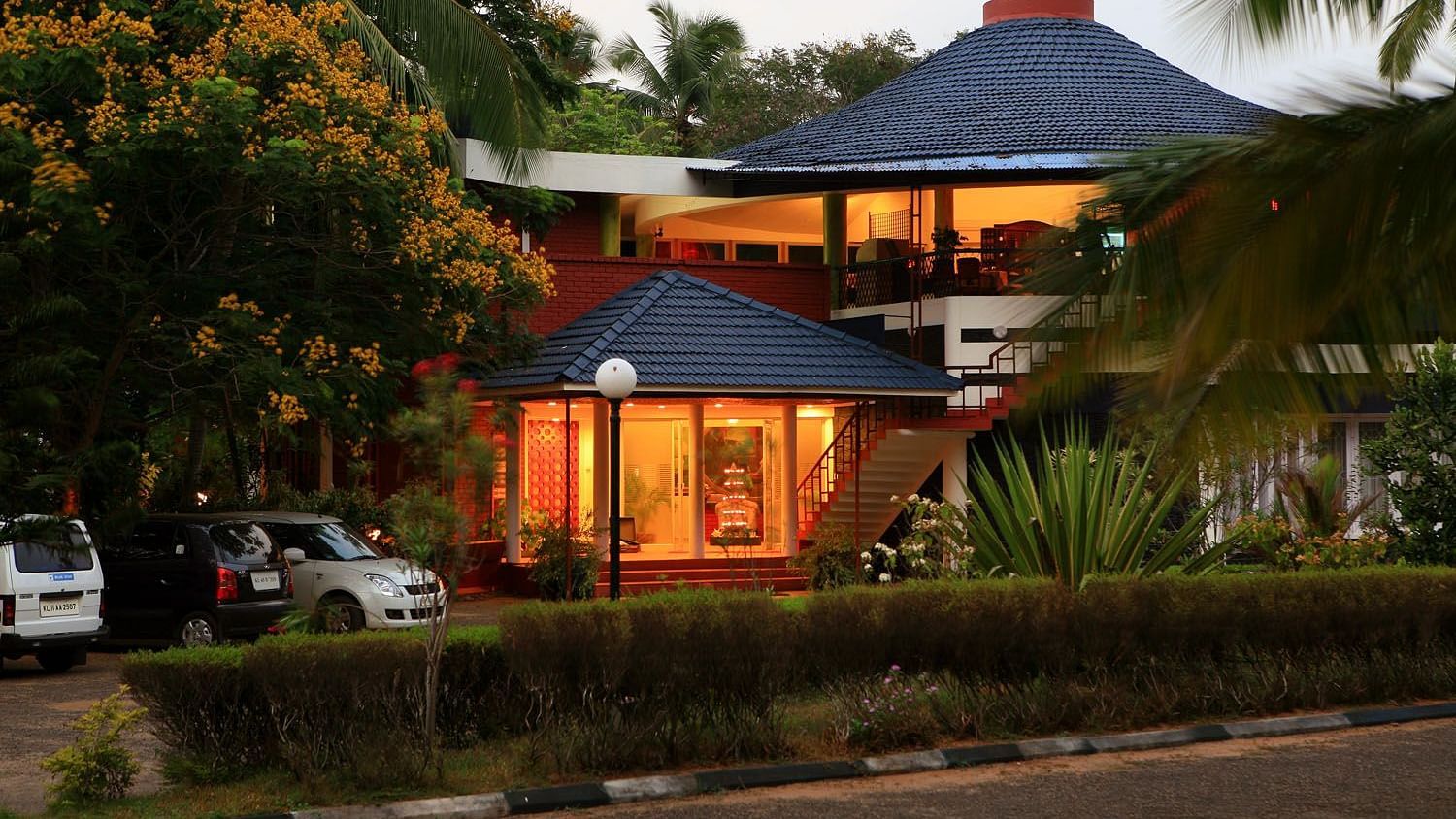
What to expect
Highlights
- Heritage experience at Koyilandy
- Architecture, local stories and old trade/cultural routes
- Good fit for guided walks and nearby cafes/shops
The medieval port of Panthalayani Kollam — Ibn Battuta’s Fandarayna, where Chinese junks wintered, and the anchorage where da Gama’s fleet lay 88 days in 1498. Nothing of the port survives above ground; the working fishing harbour is what you come for.
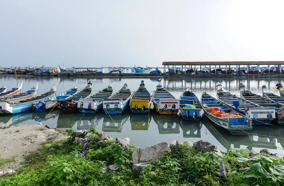
Koyilandy is a working fishing town on NH 66 between Kozhikode and Vadakara, and it was once one of the most important ports on the Malabar coast. Arab geographers called it Fandarina. Ibn Battuta called it Fandarayna and recorded that Chinese ships spent the winter there. Portuguese writers called it Pandarani, and it was from its anchorage — not from Kappad, and not from Calicut — that Vasco da Gama first walked onto Indian soil, on 28 May 1498, after which his fleet lay off the town for eighty-eight days. Almost none of that is visible today. There is no fort, no excavated port, no museum, and no interpretation board. What survives is a name in the municipal ward register, a graveyard, an inscription in a mosque, a hookah, and a harbour full of boats.
Start with the eighty-eight days, because the source for them is unusually good: the Roteiro, the anonymous journal of da Gama's first voyage, written by someone aboard. On the night of 20 May 1498 the fleet anchored two leagues from Calicut, and the journal is candid about why — the pilot had mistaken Capua, a town at that place, for Calicut itself. Capua is Capocate, at Kappad. The ships were in the wrong place by accident, and the journal records nobody going ashore there.
On 27 May a pilot came out with orders to take the ships to a place called Pandarani. The reason given is practical and is recorded without flourish: the anchorage where they lay was bad, with a stony bottom, and the one to the north was good, and it was customary for ships coming to this country to anchor there for the sake of safety. The journal adds that this was quite true. The Zamorin's own pilot moved the Portuguese fleet about six kilometres north to Koyilandy because Kappad was not a place to keep ships.
On 28 May da Gama went ashore with thirteen men to meet the Zamorin. On the Roteiro's evidence that is the first time he is recorded setting foot on Indian soil, and it happened from the Pandarani anchorage. The journal's own chapter headings do the rest of the work: "Detention at Pandarani" for 31 May to 2 June, and "The Portuguese Merchandise at Pandarani" for the weeks after. Ravenstein, the Hakluyt Society's editor, summarised it plainly — at that anchorage the Portuguese remained no less than eighty-eight days, until 23 August.
The detention is the part nobody tells. Coming back from Calicut by palanquin in heavy rain, Gama's party lost the road and wandered inland. At Pandarani the local official refused him a boat back to his ships, and the journal says that as it seemed to the captain that they harboured some evil design, he sent three men ahead. They spent the night held in a Moor's house. The most dramatic hours of the most famous voyage in the history of European navigation happened at Koyilandy, and there is nothing at Koyilandy that says so.
There is even a physical explanation for why the anchorage was good, and it is a genuinely strange one. This coast has offshore mud banks that flatten monsoon surf. Colonel R. H. Sankey of the Madras Engineers wrote in 1881 that ships can run into the patches of water so sheltered at the very height of the monsoon, when the elements are raging, and not only find a perfectly still sea but be able to land their cargoes — and wondered aloud whether the snugness of some of the harbours frequented by the Chinese junks, such as Pandarani, was mostly due to banks of this kind. The English East India Company cruiser Morning Star sheltered on the same bank in 1793 and wrecked there, and the commissioners cited da Gama's precedent as their reason for going in.
Which brings in the Chinese, and the second reason this town matters. Ibn Battuta reached it in 1342 or 1343 and his description is worth having in his own words, in Gibb and Beckingham's translation: Fandarayna, a large and fine town with orchards and bazaars, where the Muslims occupy three quarters, each with a mosque; the cathedral mosque on the sea front, a magnificent building with gazebos and loggias overlooking the sea, its qadi and preacher a man from Oman. And then the sentence: it is at this town that the Chinese vessels pass the winter.
That single line would be easy to dismiss as a traveller's flourish, except that Ibn Battuta corroborates it twenty pages later without meaning to. Describing the destruction of the Delhi Sultan's gift-fleet in the Calicut roads in 1342, he lists the survivors: the ship carrying the present, another junk whose owners had decided to pass the winter at Fandarayna, and one other. On the Saturday morning, he writes, the junk whose owners were making for Fandarayna was driven ashore and broken in pieces; some of those on board died and some escaped. The custom is attested once as a custom and once as a specific ship's plan that killed people. Ibn Battuta then watched the Zamorin standing barefoot on the beach at the wreck.
The Chinese connection left names rather than buildings. Chinakotta — Chinese fort. Chinapalli — Chinese mosque. Chinachery, the Chinese settlement, over at Kappad. A Silk Street. Mongol documents of 1296 capped exports to a place they wrote as Fantalaina, and Wang Dayuan in 1349 was the first Chinese writer to note precious stones there. The town appears in the sources as Fandarina, Fandaraina, Flandarina, Pandarane, Pandarani, Fandreeah and Panthalayani Kollam, which is a fair index of how many trading worlds knew it.
The claim you will meet first is that Koyilandy is Tyndis, the port named in the first-century Periplus of the Erythraean Sea and again by Pliny and Ptolemy. We will not assert it, and neither should anything else. The Periplus places Tyndis about five hundred stadia — roughly ninety kilometres — north of Muziris, and calls it a well known village on the coast. Koyilandy is a good deal further north than that. Serious candidates in play include Kadalundi Nagaram, Ponnani opposite the Palakkad Gap, Tanur, and the Beypore–Chaliyam–Kadalundi stretch, which is the identification our own pages elsewhere describe as leading. No archaeological evidence of Tyndis has ever been found anywhere. Even the historian who compiled the fullest account of this town's past treats Tyndis as a different place nearby rather than as Koyilandy itself. The honest formulation is that some have identified Koyilandy with Tyndis, others place it elsewhere, and the identification cannot be made with confidence.
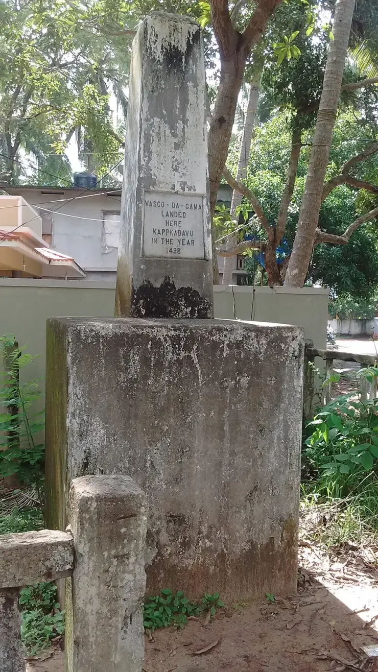
The second thing to correct is the story the state itself tells about Kappad. The memorial stone on that beach reads that Vasco da Gama landed here, at Kappakadavu, in 1498. The historian M. G. S. Narayanan said publicly that this is a misconception, and that Gama landed at Panthalayani because there was a port there and Kozhikode did not have one — it does not have one even now. He has argued in print that the Kappad story was created by the Archaeological Survey of India rather than by historians. The sources are not unanimous. Gaspar Correia, the only major sixteenth-century chronicler who actually lived in India, has the ships first anchoring at Kappad, and Logan followed him. But Correia dates the arrival to 26 August 1498, three months after the journal written on the voyage, and even Logan accepted that the fleet was then moved to Pandarani. A Malayalam account of 1792 — older than the printed Roteiro — says three of the Feringhee's ships came to Pandarani Kollam, and being the monsoon they anchored there and came on shore.
The formulation that is true on both pages, and that we print on both, is this: the fleet's first anchorage on 20 May 1498 was off Kappad, reached in error; on 27 May the Zamorin's pilot moved the ships north to Pandarani for safer holding; and it was from there, on 28 May, that Gama went ashore. Kappad keeps the arrival. Koyilandy gets the landing, the negotiation, the detention and the eighty-eight days.
A third claim circulates in books about the Cairo Geniza: that the Jewish merchant Abraham Ben Yiju lived at Panthalayani Kollam. The standard edition of those documents, by Goitein and Friedman, places him at Mangalore between about 1132 and 1149. Goitein is emphatic about it. Do not attach him to this town.
A fourth: that Koyilandy's port collapsed when the Chinese stopped coming in the thirteenth century. This is impossible on the town's own evidence. Ibn Battuta saw Chinese junks wintering here in 1342 or 1343. Wang Dayuan wrote about the place in 1349. Pyrard de Laval, passing at night in 1607, called the ruined Portuguese fortress here even stronger than the one at Calicut. The decline is sixteenth-century and Portuguese-driven.
And a fifth, gentler one: that Panthalayani means the pandal under the ayini tree, from the Aithihyamala's story of Vaisya settlers from the southern Kollam resting under a many-branched ayini that formed a natural pavilion. A rival local version has the settlers making their pandals from their ships' torn sails. Both are folk etymologies, they contradict each other, and they should be told in the plural or not at all. The same caution applies to the footprint on the rock by Parappally, which local tradition assigns to the Prophet Adam, with a matching right foot on the rock offshore. Logan recorded the tradition and then concluded that both the footprint and a temple slab in the mosque tank were of Jain origin. Tell the tradition; attach Logan's dissent.
Koyilandy's rise belongs to the ninth century onward, as Arab and Chinese trade shifted north from Kollam and Kodungallur toward Calicut. Al-Idrisi, writing around 1150, described Fandarina as a town built at the mouth of a river coming from Malabar where vessels from India and Sind cast anchor, with rich inhabitants, well supplied markets and flourishing trade. Logan noticed the problem with that immediately and it is still unresolved: there is no river mouth at Panthalayani today. He wondered whether the Kotta river once flowed into the Agalapuzha and out to the sea here. Nobody has answered him.
It was originally a Kolathunadu port, annexed by the Zamorin, who kept a palace here at Ananthapuram. The Calicut Granthavari records a Zamorin dying at Ananthapuram in 1597 and his successor being crowned there — under that name rather than under Panthalayani Kollam. The palace no longer exists.
The Portuguese century is the one that ended it, and the dates should not be tidied. Zainuddin Makhdum's Tuhfat al-Mujahidin records fighting at Pantalayani in 1524 and the burning of the town and its Juma mosque in 1550. Logan and English Wikipedia add a raid by the Viceroy Henrique de Menezes in February or March 1525 that burned Ponnani and Koyilandy, with Koyilandy defended by twenty thousand Nairs and Muslims, and separately a Portuguese descent in 1550 that destroyed mosques and houses and killed about a third of the inhabitants. Some accounts collapse all of this into a single clean 1524. It should not be collapsed. Earlier, in March 1505, a large Muslim fleet assembled here to carry Muslims leaving the Zamorin's kingdom was destroyed, with Duarte de Menezes reported as capturing seventeen vessels and killing two thousand men — a chronicler's figure, repeated by Sewell in 1900, and worth attributing rather than stating flatly.
By 1505 Ludovico di Varthema was already calling the place a wretched affair with no port. By 1607 Pyrard de Laval saw a fortress not altogether demolished. What the Portuguese wars left behind is a graveyard: Logan records that about a third of the town's Muslims died fighting them, and the large Parappilli burial ground is the physical evidence of it.
What did survive is stranger and quieter. The medieval port's name is still on the municipal map — wards 11, 14 and 15 are Panthalayani North, Central and South, and ward 43 is Kollam West, in a town of some seventy-two thousand people. The Koyilandy Jumu'ah Mosque holds an Old Malayalam inscription in mixed Vatteluttu and Grantha, dated to the tenth century, published as number 162 in volume VIII of South Indian Inscriptions in 1932, and read as recording patronage by the Hindu king Bhaskara Ravi to the Muslims of Kerala. We have not seen the volume, and we could not establish that the stone is on public display, so do not travel expecting to see it.
On the rocks north of town stands Parappally, held locally to be one of the mosques founded on this coast by Malik Ibn Dinar; a list preserved in the Qissat Shakarwati Farmad includes Panthalayani among them. The complex sits on Mayyith Kunnu, Burial Hill, with further mosques and tombs alongside. The detail about who is buried there rests on very thin sourcing and we are not printing the names or the dates that circulate with it.
The most tangible survival is an object. The Koyilandy hookah — known in the Gulf as the Malabar hookah — is made by the Moosari coppersmith families: a coconut-shell water bowl, a cast brass or bronze body, a wooden stem, wax patterning and two clays in the mould. The origin story is that Yemeni merchants resident here about five centuries ago commissioned local smiths to make them. Around two hundred families once did this work. A handful still do.
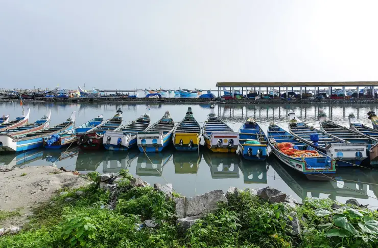
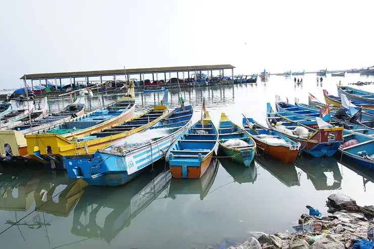
The fishing harbour is genuinely photogenic and genuinely working — rows of wooden vallams moored bow-on, a breakwater, an auction shed, and a rhythm set by the dawn landing and the evening auction rather than by visitors.
It is the anchorage where Vasco da Gama's fleet actually lay for eighty-eight days in 1498, and where he first stepped ashore in India — a fact recorded in the voyage's own journal and marked nowhere on the ground.
It is Ibn Battuta's Fandarayna, the one town on this coast he says Chinese ships wintered in, and the Chinese names — Chinakotta, Chinapalli — are still in local use.
The medieval port's name survives in the ward register of a modern municipality, which is a quietly remarkable thing to be able to point at.
The Koyilandy hookah is still made here by a few families of the Moosari community, a five-hundred-year-old Arab trade connection surviving as an object rather than as a ruin.
Poyilakavu, just south, is a broad quiet backwater with wooded headlands, and the harbour aside it is the most attractive thing to look at in the area.
Road km to Kozhikode; ghat roads and traffic vary — allow extra.
November to February and early mornings are best for walking; avoid midday heat where possible.
Live forecast loads in your browser.
Sun and moon are calculated for this location and shown in IST. Photography windows are the hour around sunrise and sunset; the sunset bearing is degrees clockwise from true north. Moon phase is accurate to about half a day.
Verified hotels, homestays, restaurants, experiences, sights, shops and rentals around Koyilandy — commission-free, with direct contact. Filter by what you need.
Beach resort spread across roughly 3.5 acres of rooms and cottages. It sits directly on the historic Vasco da Gama landing shore at Kappad.
Ayurvedic wellness homestay on the banks of the Korapuzha (Elathur) river. Doctor-led therapy packages run amid quiet backwaters north of Kappad beach.
Beach resort travel desk in Kappad. Chemanchery P.O., Thoovappara, Kappad, Calicut 673304 · Renai, Beach resort travel desk.
Direct resort restaurant in Kappad. Renai Kappad Beach Resort, Chemanchery P.O., Thoovappara, Kappad, Calicut 673304 · Renai, Direct resort restaurant.
Beachfront resort with 16 sea-facing rooms fronting the Arabian Sea. It stands at Thoovappara, Kappad, near where Vasco da Gama landed in 1498.
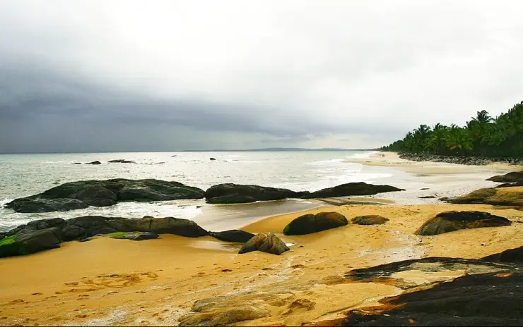
Kappad Beach is the historic Kozhikode coast associated with Vasco da Gama, Olive Ridley turtle nesting and a quieter beach village north of the city. Public beach; check current facilities · Kappad Beach, Kappakadavu, Historic beach.
Rooftop restaurant at Renai Kappad Beach Resort overlooking the Arabian Sea. The day's seafood catch is cooked to order in traditional and continental styles.
The Little Eatery Cafe Kappad replaces a generic seafood shortlist with a named cafe record on Beach Road for Kappad beach visitors. Beach cafe, The Little Eatery Cafe Kappad.
Book with the place itself. India’s cyber-crime coordination centre warned in April 2025 that convincing copies of hotel and pilgrimage booking sites are being pushed through sponsored search and social ads, taking payment for rooms the property never hears about. Every listing here links to the business’s own contact details and its own Google or Bing profile — we take no commission and sit in nobody’s payment path. If a booking page reached you through an ad, check the address bar against the property’s own site before you pay. Fraud can be reported on cybercrime.gov.in or on 1930.
Find food, accommodation and activities across Kappad. Browse the guides for places to eat, stay and explore along your route.
One more place around Kappad worth a day of its own.
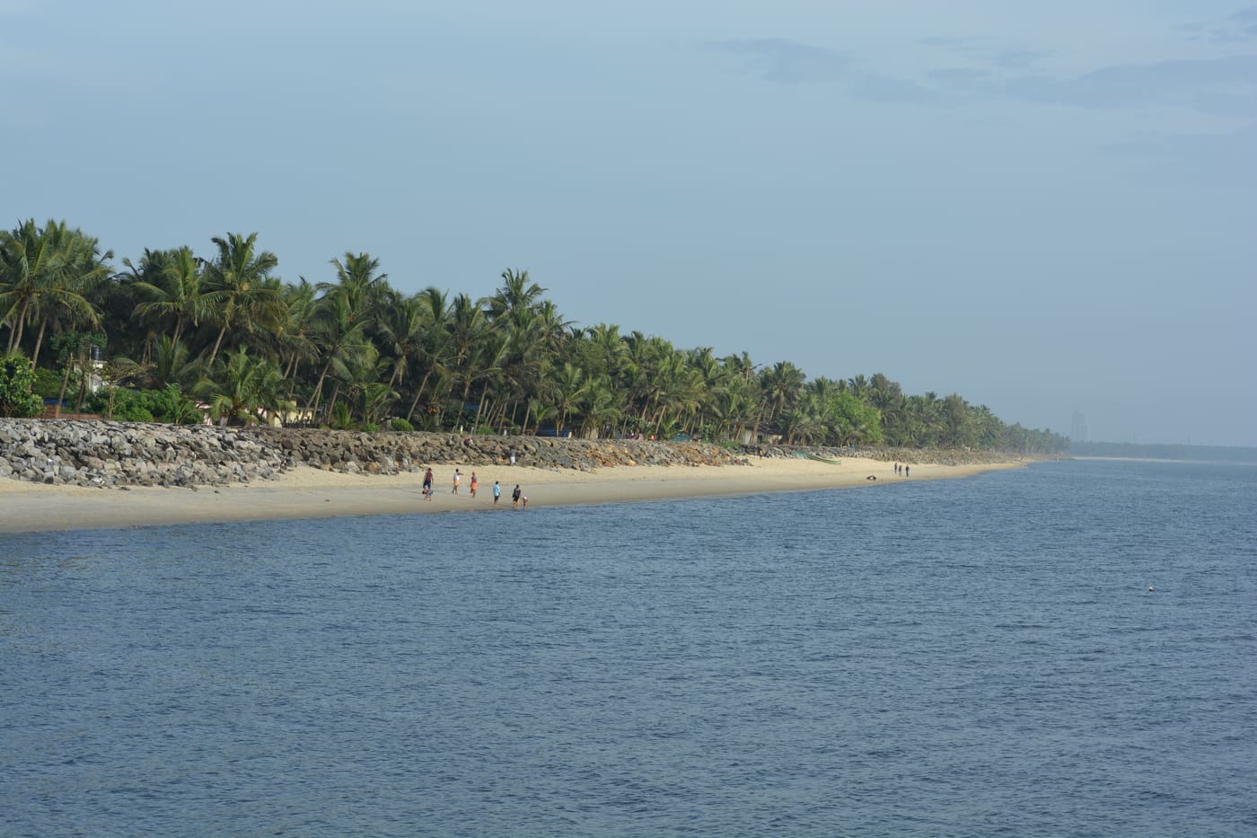
6.2 km · ~15 min by auto
Historic beach associated with Vasco da Gama’s arrival on the Malabar coast.
Roampedia is commission-free — own or know a stay, eatery, guide or shop near Koyilandy? List it and it appears here once verified.
Add a nearby businessEntry: Nothing to pay. The harbour, the beaches, the mosque complex and the temples are all free and open.
Dress code: Ordinary town clothes. Parappally is an active mosque and a pilgrimage site — dress modestly there, respect prayer times, and do not assume access to the interior of the makham.
Festivals: Pisharikavu holds an annual Kaliyattam at which the sword Nandakam is processed. ⚠ Two incompatible months circulate for it (Medam and Meenam) and no fixed date could be established, so ask locally rather than trusting a date online — including ours. Note also that there is a different Pisharikavu at East Hill in Kozhikode city with its own tourism page.
Photography: The harbour is a working place and people are at work in it; ask before photographing individuals or an auction in progress. At the mosque complex, ask first.
If you are travelling by bus or ferry, check the return service with the operator before setting out. Leave time to reach the stop or jetty after your visit.
Ask at the bus stand for the time of the last service back, not the next one. If you miss it, an auto or app cab is the fallback — agree the fare before you get in.
If you need step-free access, contact the site before travelling. Ask about a level entrance, steps along the route, the nearest drop-off point, seating and accessible toilets.
Emergency numbers are verified against official government and state tourism sources. 112 works anywhere in India.
Historic beach associated with Vasco da Gama’s arrival on the Malabar coast.
6.2 km · ~15 min by auto · straight line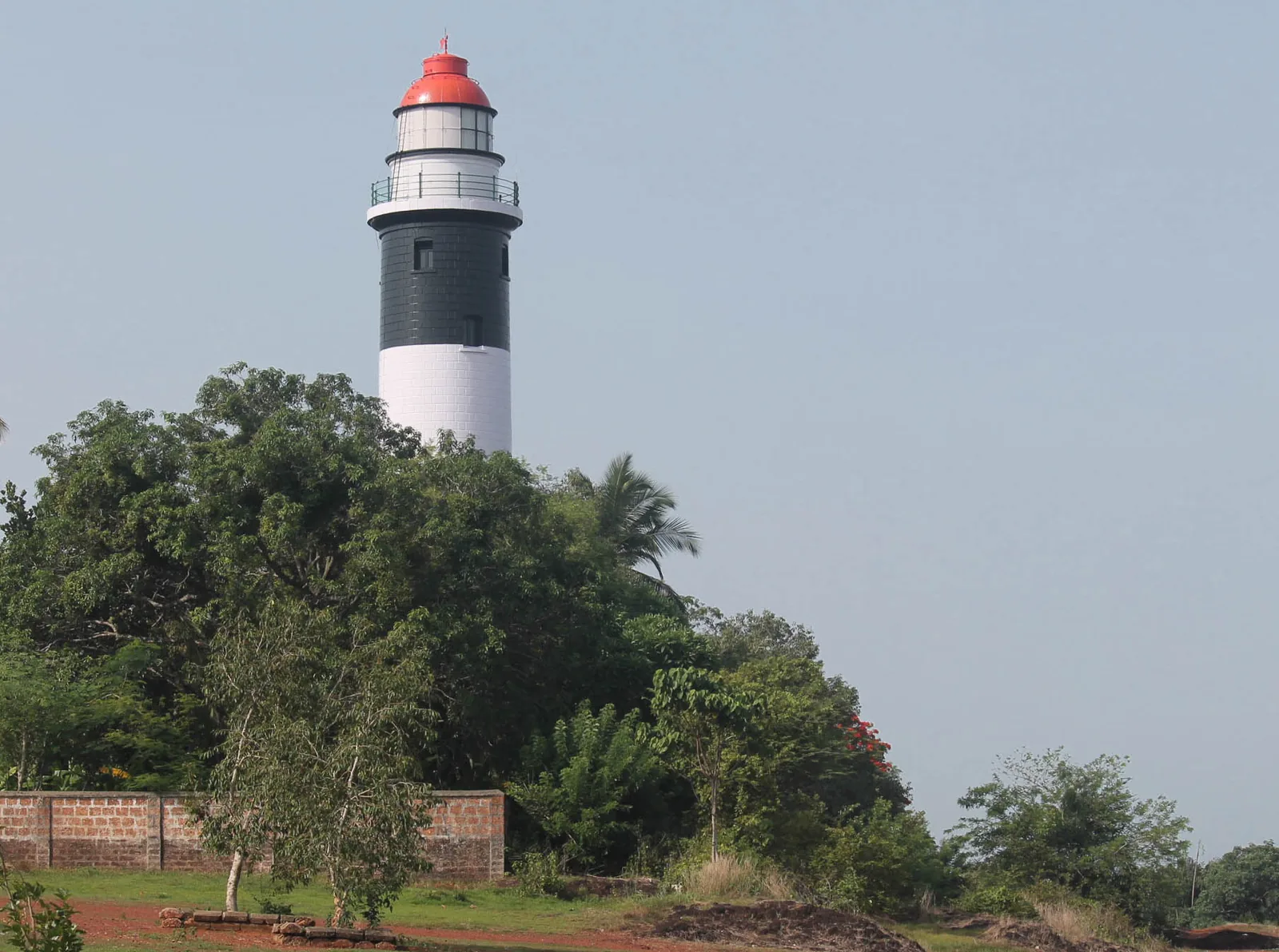
A 1909 lighthouse on the laterite headland at Kadalur Point, built to mark the submerged Sacrifice Rock eight kilometres offshore.
7.0 km · ~18 min by auto · straight line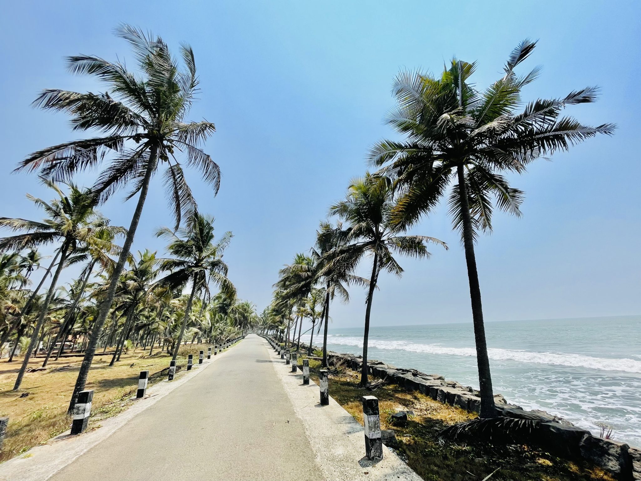
An 8 km olive ridley nesting shore at Iringal, protected since 1992 by a village committee of twelve — and now largely armoured with seawalls, with seven nesting females recorded across the four seasons to 2023.
16.3 km · ~27 min by cab · straight line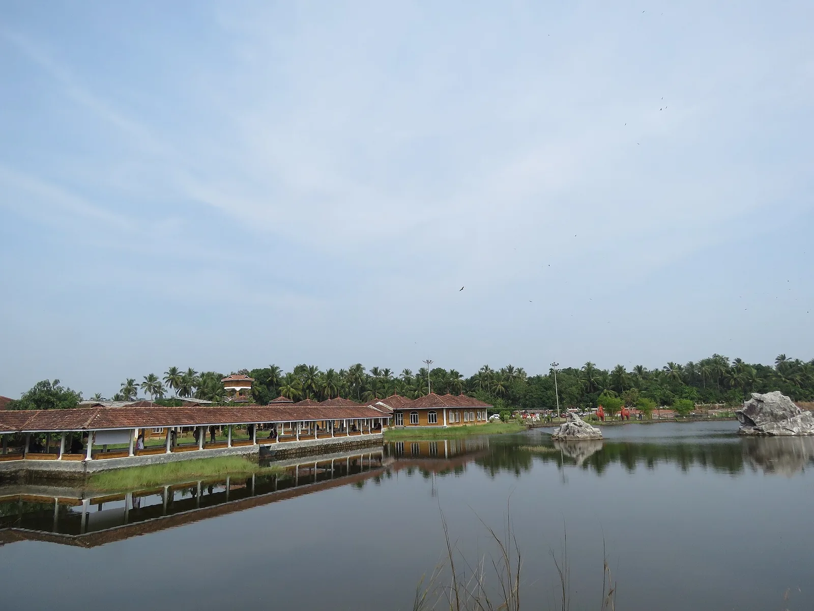
Kerala Arts & Crafts Village at Iringal near Vadakara — a riverside campus of working artisans and crafts pavilions.
16.7 km · ~28 min by cab · straight line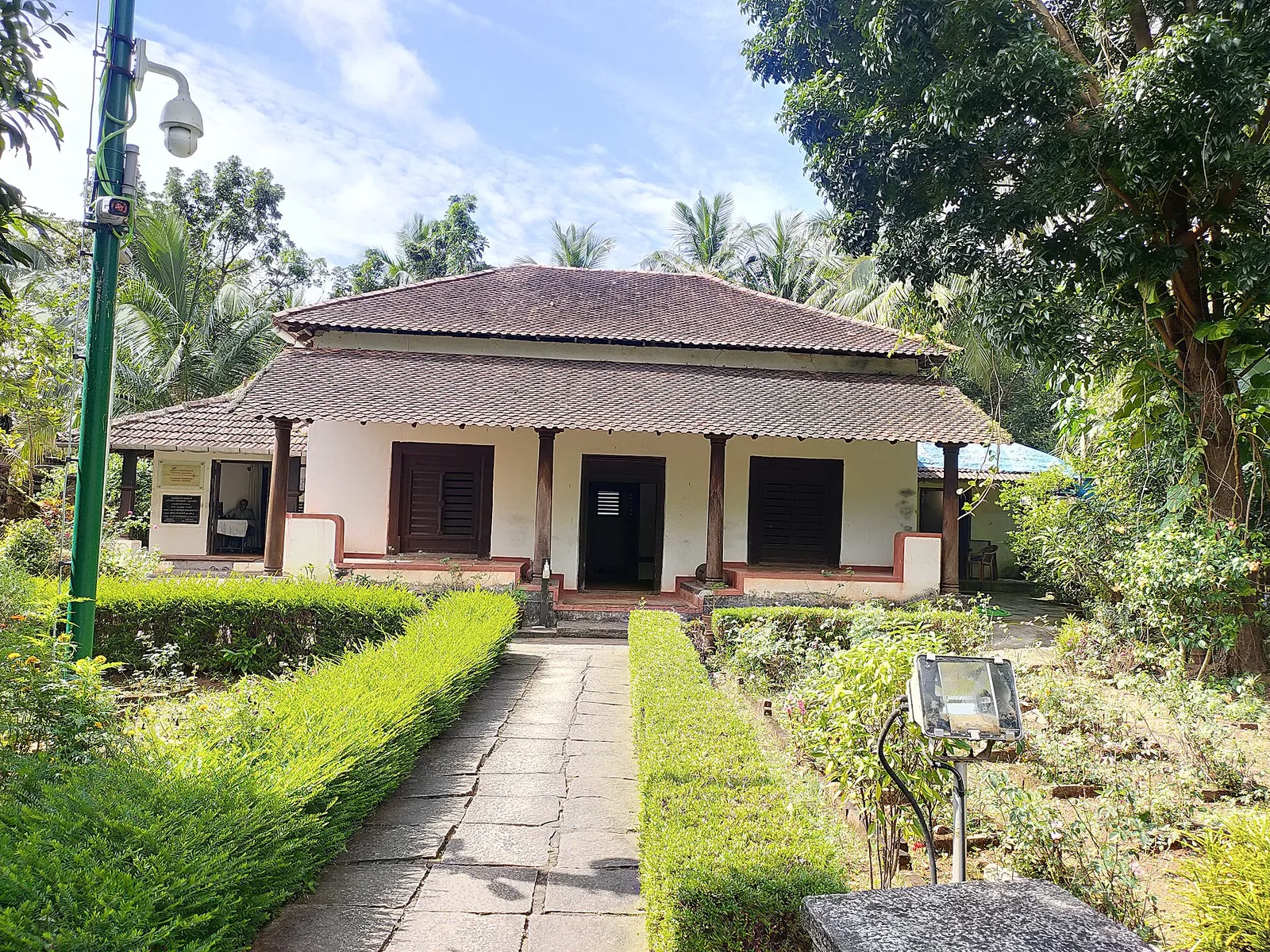
The Kerala Archaeology Department’s museum in the surviving part of the Marakkar family house at Kottakkal, Iringal — three rooms and a vestibule holding swords, stone shot and megalithic finds, with an Indian Navy obelisk in the garden. Not the fort: that was razed in 1600.
17.5 km · ~29 min by cab · straight line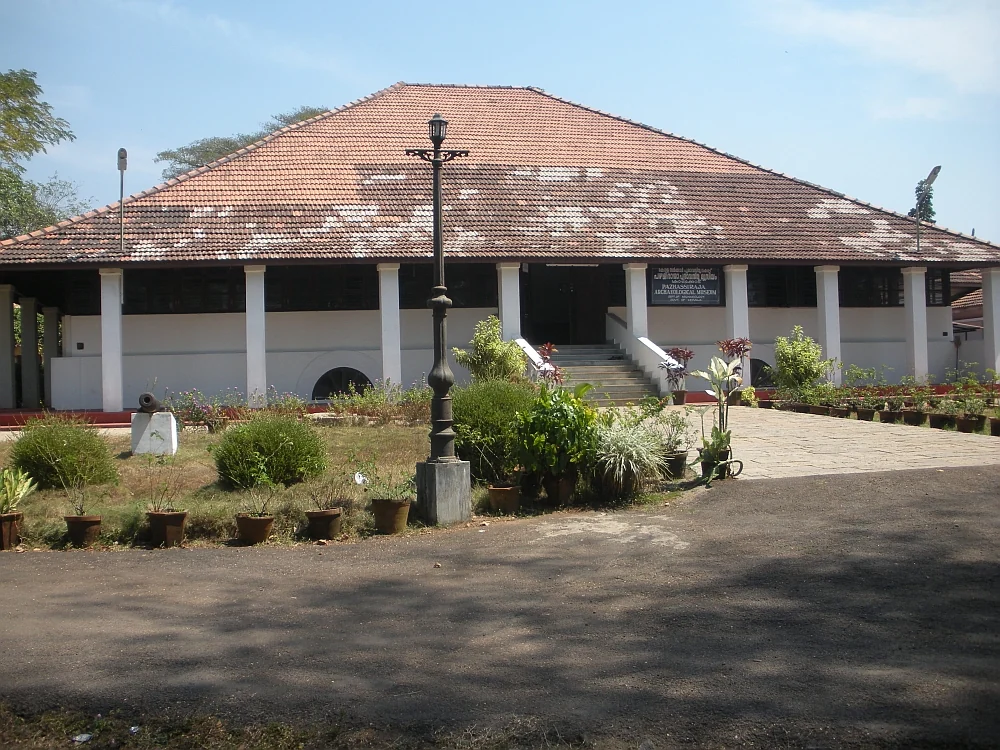
State archaeology museum at East Hill in an 1812 bungalow, with murals, bronzes, coins and megalithic monuments.
18.4 km · ~31 min by cab · straight line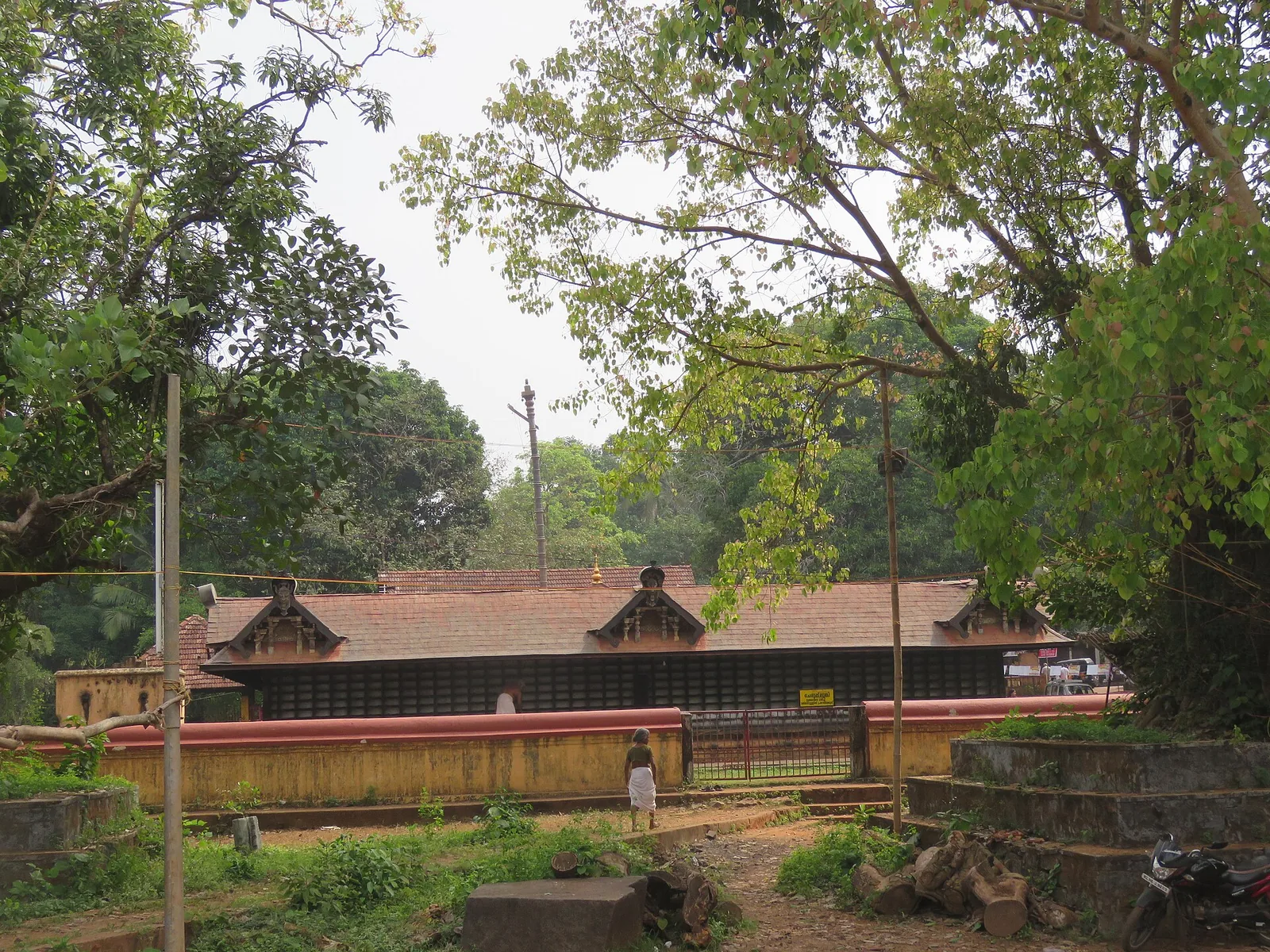
Ancient Durga/Bhagavathy temple at Vadakara, celebrated in the Vadakkan Pattukal and linked to the Kalaripayattu hero Thacholi Othenan.
19.8 km · ~33 min by cab · straight line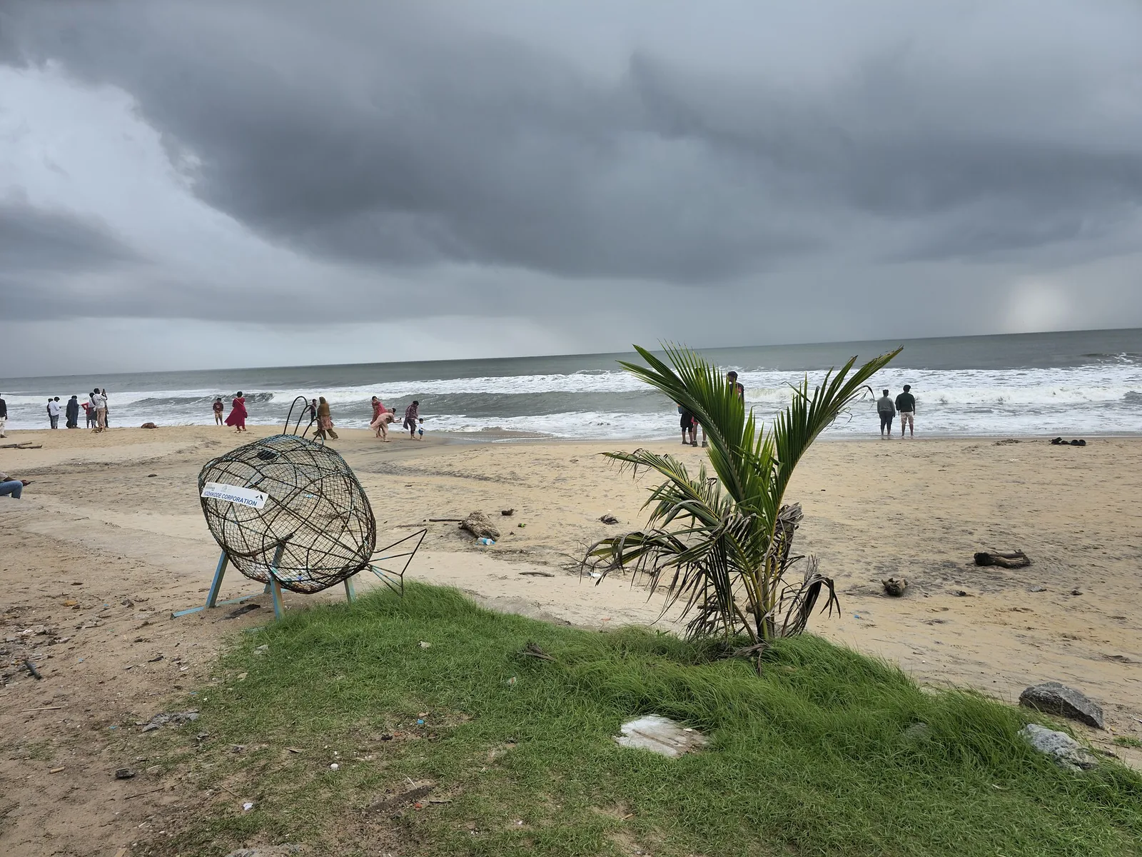
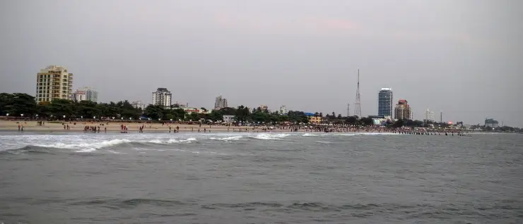
City beach with old pier remains and sunset food stalls.
21.6 km · ~36 min by cab · straight line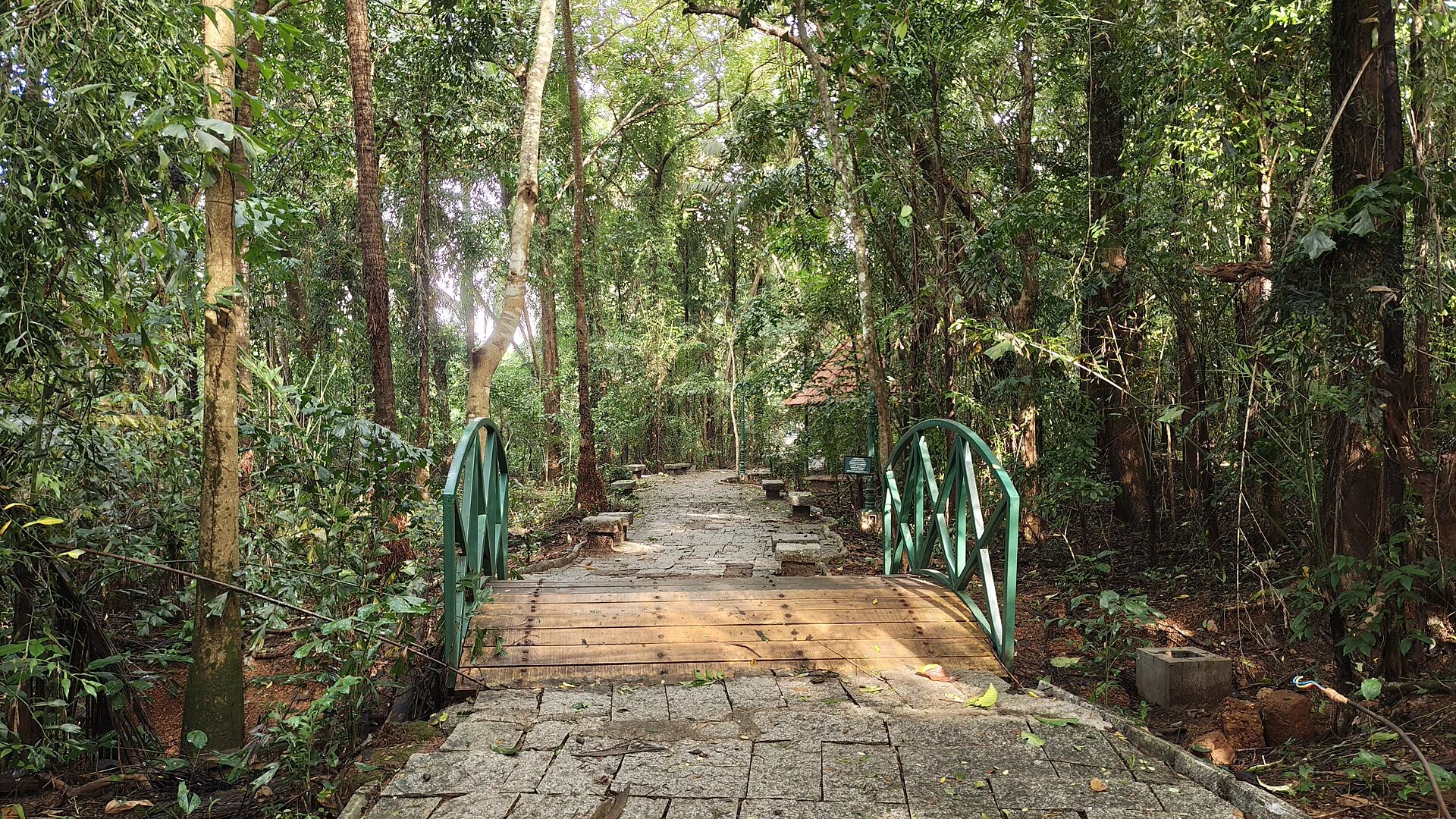
A 98-acre public eco-park on the Conolly Canal in central Kozhikode, the developed part of the Kottooli wetland — mature urban woodland and mangrove-fringed water, mid-renovation and partly not operating.
21.6 km · ~36 min by cab · straight line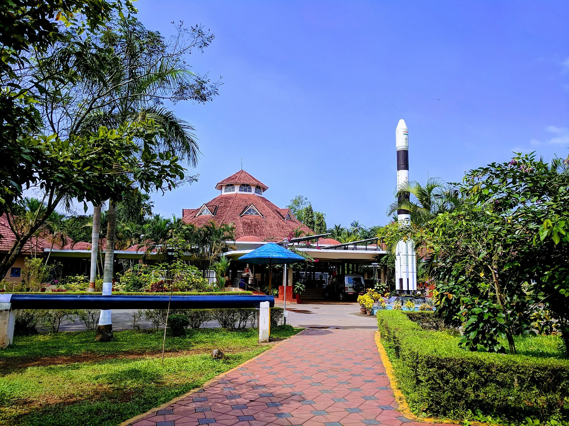
A National Council of Science Museums centre in central Kozhikode — five galleries, a 3D theatre and an outdoor science park. ⚠ Its planetarium has been closed for a projector replacement since 13 July 2026 with no announced reopening date.
21.6 km · ~36 min by cab · straight line
Landmark park in the city centre on the old Zamorin palace grounds, around the Mananchira tank, with a musical fountain.
22.2 km · ~37 min by cab · straight line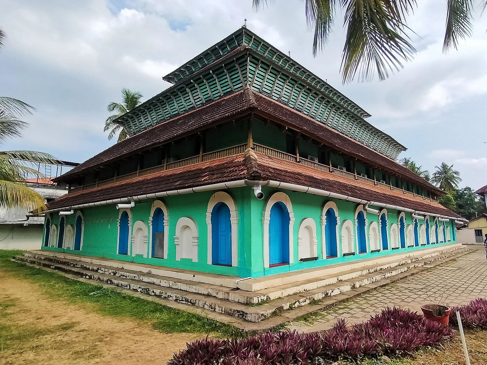
Historic timber mosque at Kuttichira built by a 14th-century Yemeni trader, once five storeys, burned by the Portuguese in 1510 and rebuilt.
22.9 km · ~38 min by cab · straight lineThe fleet's first anchorage, on 20 May 1498, was off Kappad — reached by mistake, the pilot having taken it for Calicut, and the voyage journal records nobody going ashore there. On 27 May the Zamorin's own pilot moved the ships north to Pandarani, which is Koyilandy, because the holding ground at Kappad was stony and bad. Gama went ashore from the Koyilandy anchorage on 28 May, and the Portuguese stayed there 88 days, until 23 August. Kappad has the arrival; Koyilandy has the landing.
Unproven, and we will not assert it. Some historians have proposed it; others place Tyndis at Kadalundi, Ponnani or Tanur. No archaeological evidence of Tyndis has been found anywhere on this coast, and the Periplus puts it considerably closer to Muziris than Koyilandy is.
The fishing harbour, which is the main thing and is free and open. The Parappally mosque complex and its graveyard on the rocks. Pisharikavu and the Kollam Thali temple. Poyilakavu backwater to the south. A few hookah workshops. What there is not: any fort, any excavated port site, any museum, any interpretation centre. This heritage is unmarked, and largely unknown even to residents.
In names rather than in buildings — Chinakotta, Chinapalli, Chinachery over at Kappad, and a Silk Street. Ibn Battuta's account of Chinese junks wintering here is a single sentence, but he corroborates it himself later when describing a junk wrecked in 1342 whose owners had been intending to winter at Fandarayna.
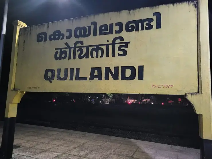
Koyilandy sits on NH 66, so every bus between Kozhikode and Vadakara or Kannur passes through, and the run from Kozhikode takes about forty minutes at ordinary KSRTC stage-carriage fares. The railway station is Koyilandy, station code QLD, on the Shoranur–Mangalore line, opened in 1904, with three platforms and reservation counters from 6 am to 8 pm. It is about 24 km from Kozhikode. It is also the nearest major railway station to Kappad Beach, about 10 km south.
We could not establish that it is on public display, so plan on the assumption that you cannot. The inscription is a documented object, published in South Indian Inscriptions volume VIII as number 162, but its accessibility to visitors is a separate question we could not answer.
Not sensibly from here. Boats run out from the Payyoli side, about 14 km away, the crossing takes around an hour in an open fishing boat, and Kerala Tourism itself describes it as unsuitable for children and the elderly. The rock is best seen from the Thikkoti lighthouse, north of town, on a clear day.
November to February and early mornings are best for walking; avoid midday heat where possible.
Entry: Nothing to pay. The harbour, the beaches, the mosque complex and the temples are all free and open. Timings: The town is a town — always open. The fishing harbour is a working fish-landing centre with two busy moments: the dawn landing and the evening auction. Come for one of those or the harbour is simply quiet boats on still water.
Base yourself in Kappad or a nearby town in Kozhikode, then confirm the last-mile route locally before leaving. Walkable heritage areas are best done slowly; combine nearby streets, museums, markets and food stops. If the visit depends on forest, temple, boat, ferry, weather or seasonal access, check the official/local rule on the day before travel.
1 to 3 hours.
Nearby you can pair Kappad Beach (6.2 km), Thikkoti Lighthouse (7.0 km), Kolavipalam Beach (16.3 km), Iringal Sargaalaya (16.7 km).
Watch traffic on narrow heritage streets. Keep valuables close in crowded markets.
Written about Koyilandy itself — its history, its legends and the arguments about them.
These guides explore Kappad and the surrounding area. Choose a visit that fits your interests, allowing separately for travel between stops.
Route-level itineraries and practical guides for the rest of Kerala.