What to expect
Highlights
- Viewpoint stop at Thikkoti Lighthouse
- Photography and landscape views
- Good add-on to nearby town or hill routes
A 1909 lighthouse on the laterite headland at Kadalur Point, built to mark the submerged Sacrifice Rock eight kilometres offshore.
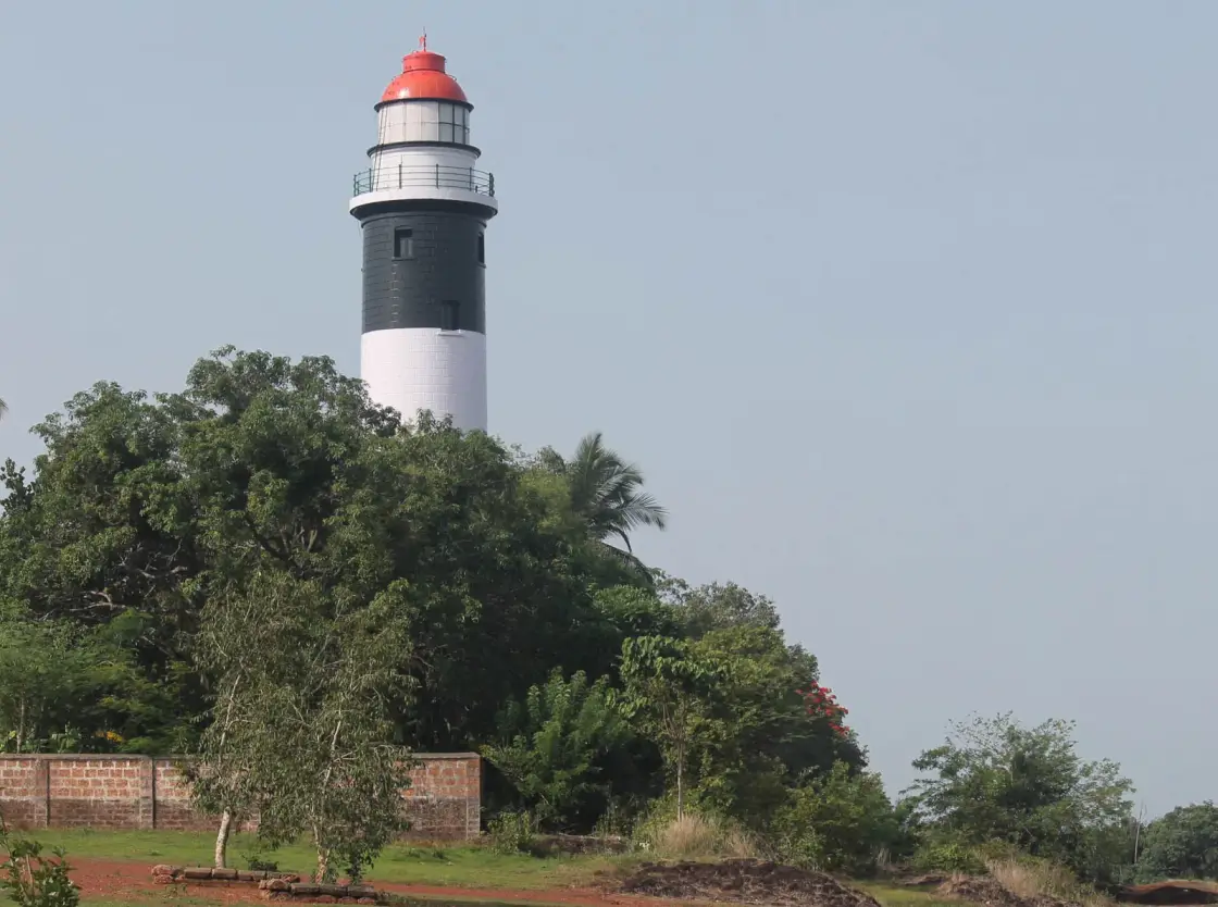
A black-and-white banded tower on a laterite headland north of Koyilandy, built in 1909 to warn ships off a white rock eight kilometres out that it was originally meant to stand on.
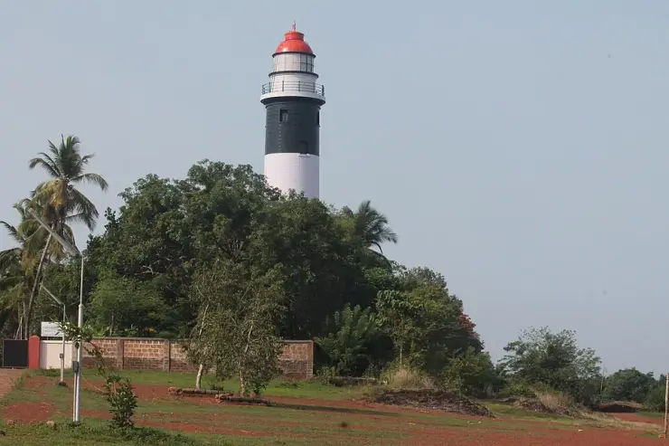
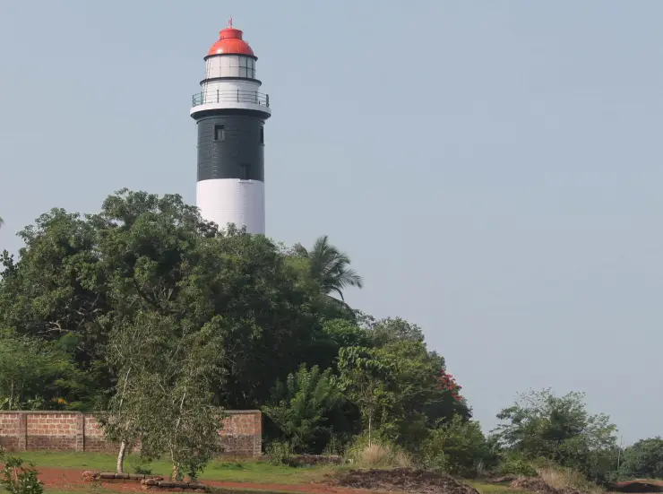
The Thikkoti Lighthouse stands on a low laterite hillock at Kadalur Point, a blunt shoulder of the Malabar coast between Koyilandy and Payyoli in Kozhikode district. It is a circular tower thirty-four metres tall, painted in broad horizontal bands of black and white and capped with a red lantern dome, and it rises out of a screen of coconut palms and scrub so that from the coast road you see the top half of it before you see anything else. The name most visitors use is not its official one. In the records of the Directorate General of Lighthouses and Lightships it has always been Kadalur Point; Thikkoti — or Thikkodi — is what the surrounding country calls it, after the railway halt and market a little to the north, and the local name has simply outlasted the official one in everyday speech.
The point itself is unremarkable to look at and was extremely important to look at from the sea. Between Kozhikode and Kadalur the shoreline falls back into a shallow bay, which means that a ship running north from Kozhikode towards Bombay was carried along a line that passed uncomfortably close to a submerged reef lying roughly eight kilometres offshore. That reef is Velliyamkallu — the white rock — known on English charts as Sacrifice Rock, and it is the whole reason the tower is here. Everything about the station, from its height to its five-second flash, is an answer to a hazard you cannot see from the gate on an ordinary hazy afternoon.
Getting to it is straightforward. The lighthouse sits about seven kilometres from Koyilandy and around fifteen and a half from Vadakara, with the nearest market at Nandi, from which the official approach is a lane of about a kilometre and a half. Koyilandy and Vadakara both sit on the main coastal railway and on the highway, so the last leg is a short hop by bus or auto. The Directorate’s own note describes the setting as hilly and inhabited, which is exactly right: this is not a wild headland but a working stretch of coastal Kerala, with houses, a school and a dispensary within walking distance of the compound wall.
Visiting is a compact experience rather than a long one. The tower is opened to the public for a limited window in the afternoon, and the gate keeps its own hours, so it is worth confirming before making the trip rather than turning up at midday and finding the compound shut. Inside, the climb is up a spiral of granite treads set into the wall, one hundred and thirty-three of them to the service room and a further short flight of softer stone to the lantern. There is a mild steel handrail the whole way. Nobody hurries this staircase; it is narrow, it is dim, and the reward is entirely at the top.
What you get at the top is the reason people come. The gallery stands about fifty-seven metres above sea level once the hillock is counted, and the view runs the length of the coast: paddy and coconut inland, the surf line running away north and south, fishing craft working the shallows, and on a clear day the pale smudge of Velliyamkallu itself out on the horizon. Southward the coast leads towards Kappad, where Vasco da Gama came ashore in 1498, and the old landing at Panthalayani, and on a genuinely clear morning both are within the sweep of the eye. It is one of the very few places on this coast where you can see the geography of Malabar’s sea trade laid out as a single picture.
The lantern room deserves attention in its own right. It holds a second-order revolving optic supplied by Chance Brothers of England, seven hundred millimetres across, with four lens panels set at ninety degrees to one another. The whole assembly floats on a bath of mercury — a hundred and nineteen kilograms of it — because mercury gives less friction than any bearing, and it turns at three revolutions a minute so that a mariner counting flashes sees one white flash every five seconds. For its first eighty-seven years that rotation came from a falling weight on a wire rope, wound by hand, running a clockwork train through a speed governor; a single winding lasted four hours, and a keeper’s night was measured out in those windings. Electric motors took the job over in 1996, and the optic they turn is still the original.
The compound below is a small, tidy world of its own: the tower, a powerhouse, an office, keepers’ quarters and an inspection room, a well outside the wall that feeds an overhead tank, and a bank of solar panels that is a recent arrival on a very old site. The Directorate’s ledger puts the land at a little over twenty-six acres. There is no ticket office theatre and no gift shop; it is a functioning aid to navigation that lets visitors in, which is a rarer and better thing. Allow an hour for the climb, the gallery and the walk down to the shore, and go late in the afternoon — the light is kinder, the tower is more likely to be open, and the sea to the west turns the colour that made someone decide to put a light here in the first place.
The single most surprising thing about this lighthouse is that it was never supposed to be here. The tower you climb at Kadalur Point is a substitute, built ashore only after a decade-long argument inside the Madras Presidency about whether to build it out on Velliyamkallu itself — and after work on the rock had actually begun.
The engineer who wanted the rock lighthouse was F. W. Ashpitel, a Public Works Department executive engineer on deputation to the Marine Department. Asked in 1895–96 to report on a proposed light at Cotta Point, he came back insisting the light belonged on Sacrifice Rock and nowhere else: the rock, he wrote, stood forty feet high with deep water all round, four and a half miles off Cotta Point and directly on the track of the Bombay steamers, and an eighteen-mile flashing light on it would both guard the danger and serve as a landfall light for Tellicherry and Calicut. He cited the Bishop Rock and invoked the Bell Rock; his drawings gave the tower an inbuilt masonry cistern for 2,500 gallons, three iron tanks on the ground floor, an oil store, cut steps and a boat basin, and living quarters inside the tower with folding cots, hat pegs, a meat safe, a curry stone and a nutmeg grater, all itemised.
The Presidency Port Officer, Commander W. J. Powell, refused: no communication with the rock for four months of the year, keepers who would have to be provisioned, and inspection costs that meant hiring a steamer. Government sided with him in 1896 and ordered the light built on the mainland. Then the file went astray. Ashpitel resubmitted in 1901 with an estimate of Rs 94,400 for a tower on the rock, successive port officers countersigned it without knowing the 1896 order existed, and in 1906 the rock scheme was sanctioned.
Construction genuinely started out at sea. Captain Smith took charge on 1 February 1907, hired local men, ferried them out in fishermen’s craft and set them to dressing and levelling the rock for a foundation. It ended over a line item. Ashpitel’s meticulous estimate — down to the tea spoons — had never included a steam launch to carry concrete blocks and keepers to and from the rock. Adding it pushed the cost from about Rs 94,000 towards Rs 171,400, the Chief Secretary rediscovered the 1896 decision, the Governor observed that feeding light-keepers through the south-west monsoon on a rock was asking for trouble, and on 21 May 1907 the site was moved ashore. Land was bought at Oottu Kunnu in Kadalur, and the tower was finished on the headland in September 1908.
The stripes are not original either. The black-and-white bands that every photograph and every tourism page treats as the lighthouse’s signature were applied in 1968. For its first fifty-nine years the tower stood in plain cement plaster. So did the name: Presidency files spelt it Kadalur, Kottah Point, Cotta Point, Cotta and Kotta more or less at random — kotta being simply the Malayalam for fort, after a seaside bastion said to have been raised here in Tipu Sultan’s time — and settling the question in 1909 involved correspondence that reached as far as the Hydrographer to the United States Navy. The remains of the bastion that gave the point its English name are gone, lost to erosion and to quarrying.
The claim you will meet most often on tourism pages — that the lighthouse was built on the remains of a shipwreck, which can still be seen here today — does not survive contact with the construction record. The tower was raised on twenty-seven acres of ordinary acquired farmland on a laterite hillock, and the centenary account compiled from the Madras archives describes it as built of wire-cut bricks from the Basel Mission tile works at Mangalore, after the concrete-block design intended for the rock was abandoned. (The Directorate’s current ledger describes the tower as stone masonry on an RCC base; the two descriptions have not been reconciled, and we flag the discrepancy rather than picking a winner.) There is a real wreck in the record, but it is not under the tower: on 30 January 1909 a vessel carrying logs and bamboo from Beypore to Cannanore struck a submerged rock at four in the afternoon, the crew were taken off by local fishermen, and the sea broke the ship up before anything could be salvaged. That was nine months before the light was first shown — and, by the Directorate’s own account of its first century, no ship has been wrecked on Sacrifice Rock since.
The birds are misdescribed too. Velliyamkallu is white because of guano, and velli simply means white or silver — the plainest etymology is also the correct one. What made the rock genuinely interesting to naturalists was not winter migrants but a resident: the Indian edible-nest swiftlet, Aerodramus unicolor, a colonial breeder that glues its half-cup nest of hardened saliva to cave walls. Nineteenth-century accounts credit Thomas Caverhill Jerdon with recording fifty to a hundred nests in the rock’s caverns, and with noting that very few were of the first make because the good ones were taken away annually for the edible-nests trade. Migratory shorebirds do work this coast in winter, and they are worth watching. But we could find no evidence that Velliyamkallu is a designated bird sanctuary, Important Bird Area or recognised hotspot, and rare migratory birds on the rock should be read as loose copy rather than a survey finding.
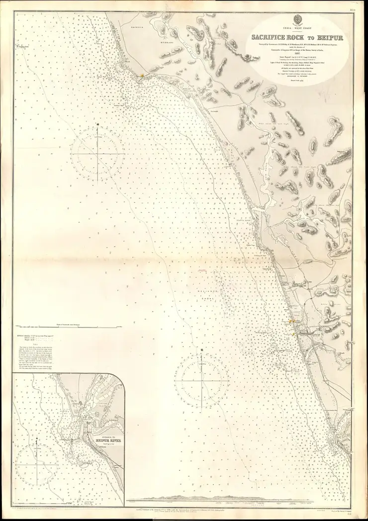
Finally, the famous name. Four incompatible explanations circulate for Sacrifice Rock, and it is more honest to lay them side by side than to pick one: that Kunhali Marakkar’s men slaughtered the crew of a Portuguese ship there; that the Portuguese threw troublemakers off it, giving the Portuguese form Rochedo do Sacrifício; that the historian M. G. S. Narayanan (1932–2025) suggested the name recalls Portuguese executions of Mappila pilgrims bound for the Hajj; and that the British named it after pirates beheaded prisoners taken from looted English vessels. Hyder Ali is said to have left state prisoners on it to die of thirst. None of these is documented in the sense a historian would want; all of them are repeated as fact. What is documented is quieter and older — that the rock was a hazard serious enough for the Admiralty to publish, in 1888, a chart sheet whose title begins with its name: Sacrifice Rock to Beipur.
There was no light of any kind on this stretch before 1909 — not a lighthouse, not even a flagstaff or mast, as the Directorate’s own station note records. Mariners simply stood well off the coast. That worked while traffic was thin and local pilots knew the ground; the Chinese and Arab vessels calling at Calicut and Cannanore in earlier centuries were well aware of Velliyamkallu and gave it a wide berth. What changed the calculation was volume. After the British defeated Tipu Sultan in 1792 and Malabar District was formed under the Madras Presidency, the ports of Calicut and Cannanore grew, coastal steamer traffic to Bombay multiplied, and groundings on the submerged rock became frequent enough that a light could no longer be deferred.
Kadalur Point appeared on the Presidency’s list of proposed new towers alongside Kalingapatnam, Pulicat, Mahabalipuram, Manappad, Tangasseri, Calicut and Cannanore. Some of these were built promptly; Cotta Point was not. The proposal stalled for more than a decade in a dispute over siting — mainland or rock — that ran through four Presidency Port Officers and reached the Governor twice. Government’s first decision, in 1896, was for the mainland. That order was subsequently overlooked, the rock scheme was approved in 1906, and only when the true cost surfaced in 1907 did the Chief Secretary rediscover the 1896 file and the Governor confirm it. The final order moving the site ashore is dated 21 May 1907.
Land acquisition followed at once: about twenty-seven acres at Oottu Kunnu in Kadalur desam, Kurumbanad taluk, for roughly Rs 2,050, with a further two acres for an approach road. Because that road had to cross the Mangalore–Madras railway line, a level crossing was built for the lighthouse’s exclusive use — a gate that survived until a panchayat road reached the site by another route in 1985 and made it redundant. Construction of the cylindrical tower began at the end of 1907 under Captain Smith, a Public Works engineer whose retirement was deferred so that he could finish it, and the structure was complete by September 1908.
The equipment took longer than the building. Trinity House in London was consulted, an inspector named Cuthbert was sent to England to choose the illuminant, and his intervention in favour of a particular combination of optic and incandescent oil burner delayed the order badly. The Presidency Port Officer had already advertised in a Notice to Mariners of October 1908 that the Cotta Point light would be exhibited from 1 April 1909; he had to issue a correction in January, and English ports separately warned outbound ships not to expect it. The final notice, No. 32 of 1909, was published on 13 September, and the dioptric second-order single flashing white light was exhibited for the first time on the evening of 20 October 1909. Commander W. Mitchell, the Presidency Port Officer, was there, and wired his confirmation from Tikkoti the next morning.
The station’s technical life since then is a compact history of lighthouse engineering. The original 55 mm petroleum vapour burner — pressurised kerosene, vaporised, burned through a silk mantle — ran for the better part of a century, with a capillary lamp kept as an emergency standby. Electrification came on 16 March 1995, and a 400-watt metal halide lamp followed in 1996; the current arrangement, per the Directorate’s ledger, is a cluster of 230-volt 150-watt metal halide lamps installed in February 2003, each on its own uninterruptible supply. The clockwork drive that turned the optic gave way to electric motors on 9 August 1996 after eighty-seven years of hand-winding. Through all of it the Chance Brothers optic and its mercury float have stayed in service.
Officially the station is Kadalur Point, Admiralty list number F0682, exhibiting a single white flash every five seconds from a focal plane of fifty-seven metres above mean sea level, with a nominal range of twenty nautical miles and an effective beam intensity of 340,000 candelas; the tower is thirty-four metres, black and white banded, and the lantern is 3.86 metres in diameter with eleven panes. (Several popular sources give the range as twenty-three nautical miles; the Directorate’s own master ledger says twenty.) The lighthouse marked its centenary in 2009 and was rededicated in a public ceremony, and the acting head keeper on the day was the grandson of one of the labourers Captain Smith had first sent out to level Velliyamkallu in 1907 — a hundred-year loop closed by one family.
Climb 133 granite treads inside a 1909 tower and come out fifty-seven metres above the Arabian Sea.
See a working Chance Brothers second-order optic floating on mercury and turning three times a minute.
Pick out Velliyamkallu — Sacrifice Rock — on the horizon, the hazard this entire lighthouse exists to mark.
Stand on a headland from which Kappad, where Vasco da Gama’s fleet made its Indian landfall in 1498, is visible down the coast on a clear day.
Watch the sunset from one of the highest publicly accessible points on the north Kozhikode shore.
Visit a station whose keepers included three generations of the same local family, from 1909 to the centenary in 2009.
Road km to Kozhikode; ghat roads and traffic vary — allow extra.
Clear post-monsoon and winter days are best; mist can block views in hill areas.
Live forecast loads in your browser.
Sun and moon are calculated for this location and shown in IST. Photography windows are the hour around sunrise and sunset; the sunset bearing is degrees clockwise from true north. Moon phase is accurate to about half a day.
Browse listed stays, food, activities, sights, shops and rentals around Thikkoti Lighthouse. Check each listing’s locality and contact the business directly for current arrangements.
Four-star hotel in central Vadakara with 18 rooms and the SAMRAT multi-cuisine restaurant. It sits by the Kannur-Calicut bypass, steps from the town bus terminal.
Four-star business hotel at the heart of Vadakara near the NH bypass. It sits close to the Arabian Sea shoreline with an infinity pool, gym and banquet halls.
Kerala Tourism accredited hotel at Link Road Junction, beside the national highway through Vadakara.
Kerala Tourism accredited tourist home beside Vadakara's old bus stand, walkable to the town centre.
Kerala Tourism accredited hotel at Vadakara's new bus stand, the easiest base if you arrive by bus.
Vadakara's cooperative coffee house, on Nut Street, run by the Kannur society since 1958.
Gayathri Hotels' restaurant by the new bus stand at Edodi, open for breakfast, lunch and dinner.
Fine-dining restaurant of Queens Tourist Home, on Queens Road, with a rooftop section.
Vadakara's state bus depot, on the NH66 corridor, run by an Assistant Transport Officer. Office of the Assistant Transport Officer, KSRTC Vadakara, Kozhikode, Kerala 673513.
Station code BDJ, on the Shoranur-Mangalore line, open since 1907 and busy with about 9,967 passengers a day.
Book with the place itself. India’s cyber-crime coordination centre warned in April 2025 that convincing copies of hotel and pilgrimage booking sites are being pushed through sponsored search and social ads, taking payment for rooms the property never hears about. Use the contact and source details on each profile to confirm the exact business and booking channel. A directory entry or map pin alone does not establish an operator’s identity or current availability. Roampedia takes no commission and does not collect booking payments. If a booking page reached you through an ad, check the address bar against the property’s own site before you pay. Fraud can be reported on cybercrime.gov.in or on 1930.
Find food, accommodation and activities across Vadakara. Browse the guides for places to eat, stay and explore along your route.
4 more places around Vadakara. Open a guide to plan the visit and onward journey.
14.5 km · straight line
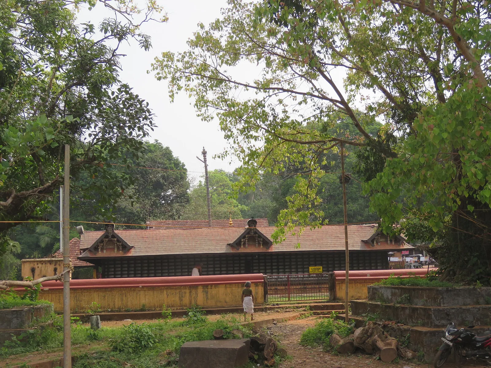
Ancient Durga/Bhagavathy temple at Vadakara, celebrated in the Vadakkan Pattukal and linked to the Kalaripayattu hero Thacholi Othenan.
10.6 km · straight line
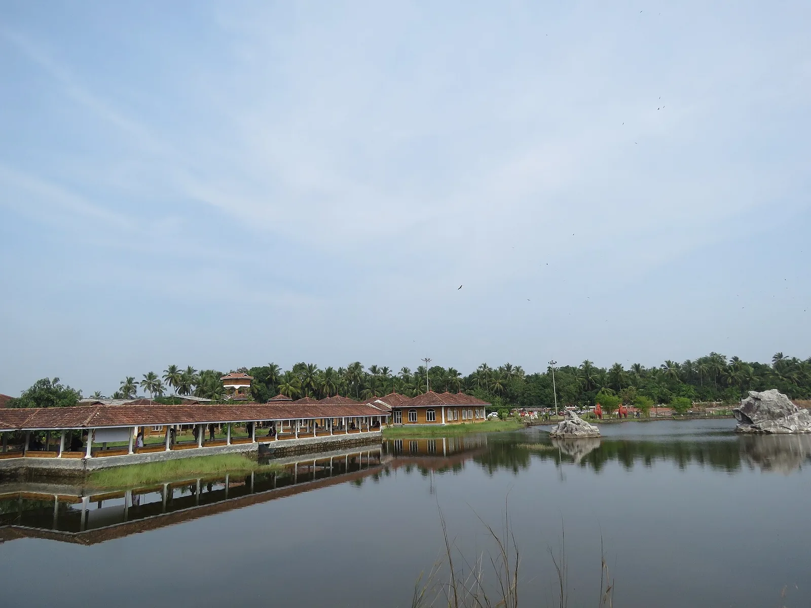
Kerala Arts & Crafts Village at Iringal near Vadakara — a riverside campus of working artisans and crafts pavilions.
11.2 km · straight line
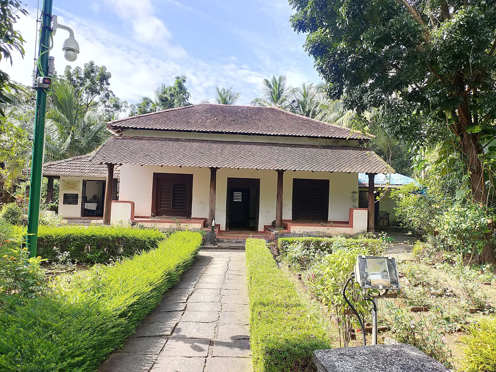
The Kerala Archaeology Department’s museum in the surviving part of the Marakkar family house at Kottakkal, Iringal — three rooms and a vestibule holding swords, stone shot and megalithic finds, with an Indian Navy obelisk in the garden. Not the fort: that was razed in 1600.
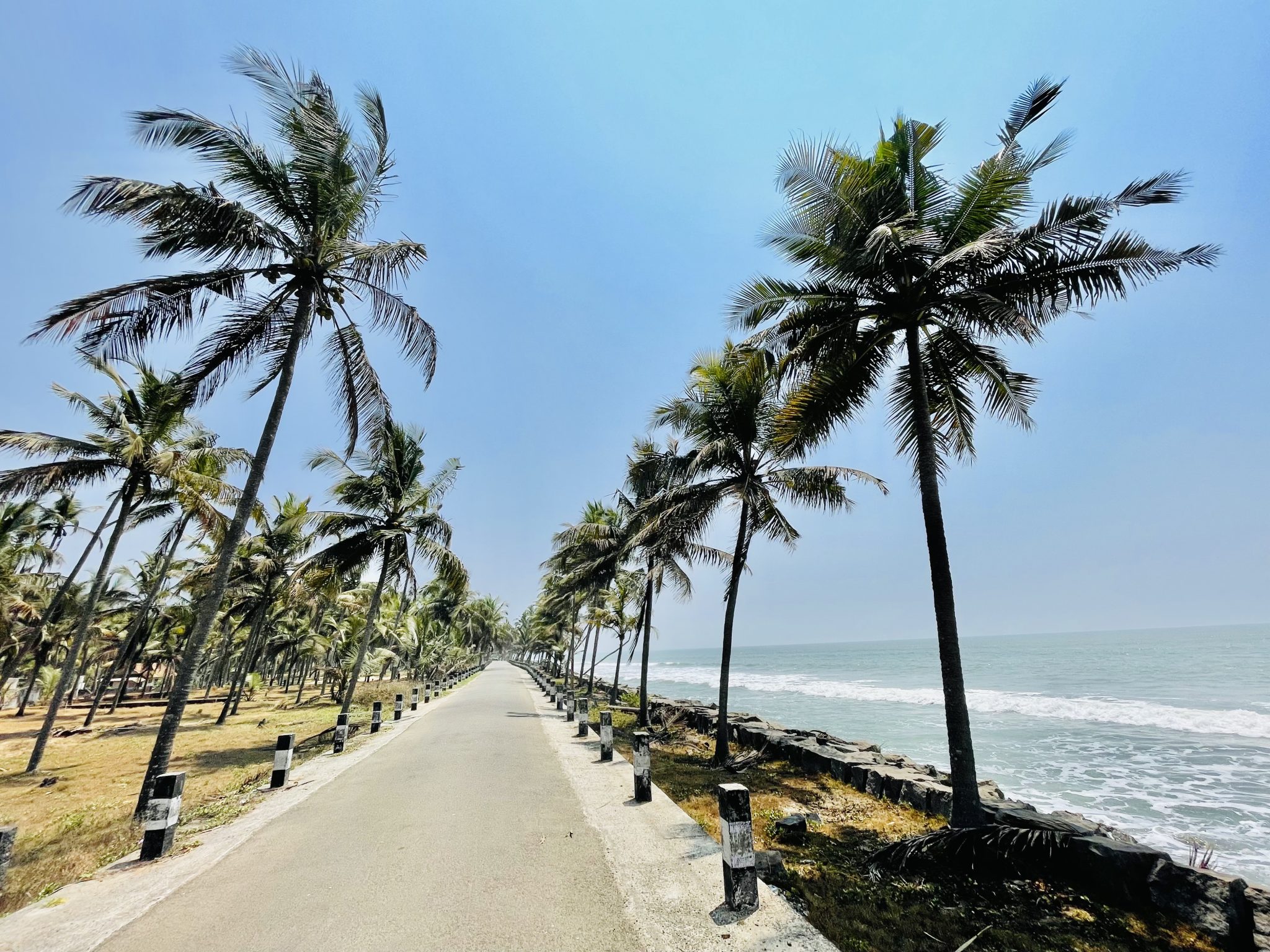
9.8 km · straight line
An 8 km olive ridley nesting shore at Iringal, protected since 1992 by a village committee of twelve — and now largely armoured with seawalls, with seven nesting females recorded across the four seasons to 2023.
Roampedia is commission-free — own or know a stay, eatery, guide or shop near Thikkoti Lighthouse? Submit public business details for review.
Add a nearby businessEntry: A small lighthouse ticket (plus a camera fee) may apply; confirm locally.
On the Kadalur point near Payyoli, about 32 km north of Kozhikode; roughly 7 km from Koyilandy, the nearest town.
If you are travelling by bus or ferry, check the return service with the operator before setting out. Leave time to reach the stop or jetty after your visit.
Ask at the bus stand for the time of the last service back, not the next one. If you miss it, an auto or app cab is the fallback — agree the fare before you get in.
If you need step-free access, contact the site before travelling. Ask about a level entrance, steps along the route, the nearest drop-off point, seating and accessible toilets.
Charge cap and free-transaction limits: Reserve Bank of India, ATM FAQ updated 4 July 2025; checked 4 October 2026.
These services are listed within about 1.2 km of Thikkoti Lighthouse. Walking distances follow mapped routes; access and opening hours can change. Other services may be closer but are not included here.
Published emergency and visitor-assistance contacts. For an immediate emergency, call 112. Shared Kerala contact sources checked 4 October 2026; publication does not establish a tested live response.
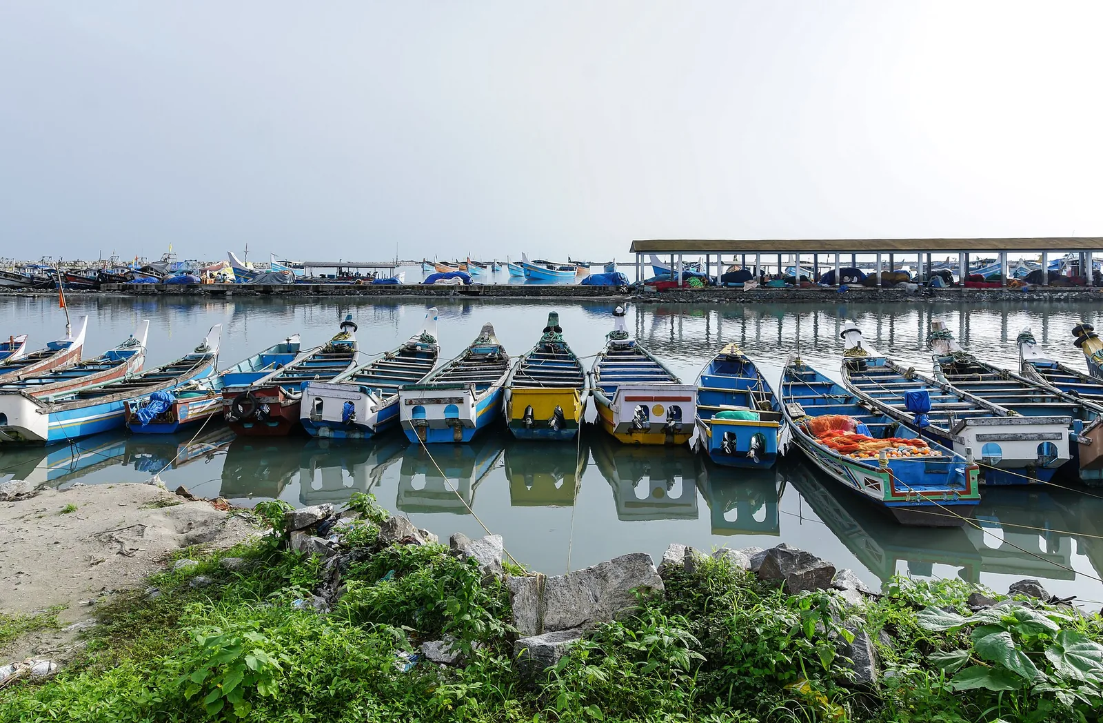
The medieval port of Panthalayani Kollam — Ibn Battuta’s Fandarayna, where Chinese junks wintered, and the anchorage where da Gama’s fleet lay 88 days in 1498. Nothing of the port survives above ground; the working fishing harbour is what you come for.
7.0 km · straight lineAn 8 km olive ridley nesting shore at Iringal, protected since 1992 by a village committee of twelve — and now largely armoured with seawalls, with seven nesting females recorded across the four seasons to 2023.
9.8 km · straight lineKerala Arts & Crafts Village at Iringal near Vadakara — a riverside campus of working artisans and crafts pavilions.
10.6 km · straight lineThe Kerala Archaeology Department’s museum in the surviving part of the Marakkar family house at Kottakkal, Iringal — three rooms and a vestibule holding swords, stone shot and megalithic finds, with an Indian Navy obelisk in the garden. Not the fort: that was razed in 1600.
11.2 km · straight line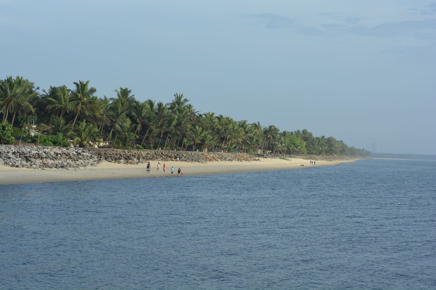
Historic beach associated with Vasco da Gama’s arrival on the Malabar coast.
12.8 km · straight lineAncient Durga/Bhagavathy temple at Vadakara, celebrated in the Vadakkan Pattukal and linked to the Kalaripayattu hero Thacholi Othenan.
14.5 km · straight line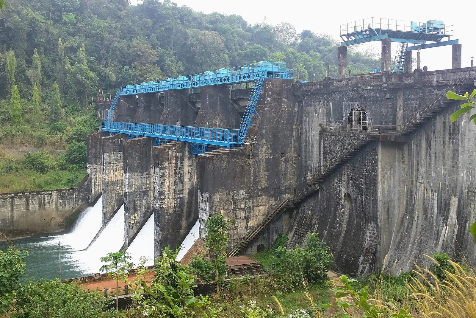
Irrigation reservoir and boating spot in the Kozhikode high ranges, with a 1977 government crocodile breeding centre on the shore.
24.7 km · straight line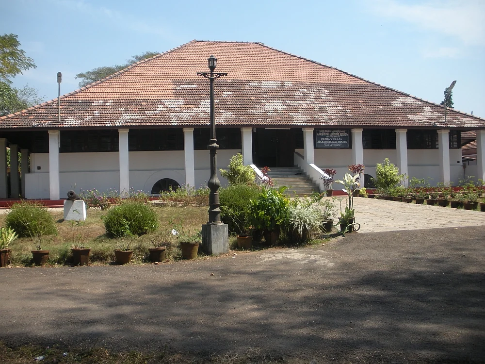
State archaeology museum at East Hill in an 1812 bungalow, with murals, bronzes, coins and megalithic monuments.
24.9 km · straight line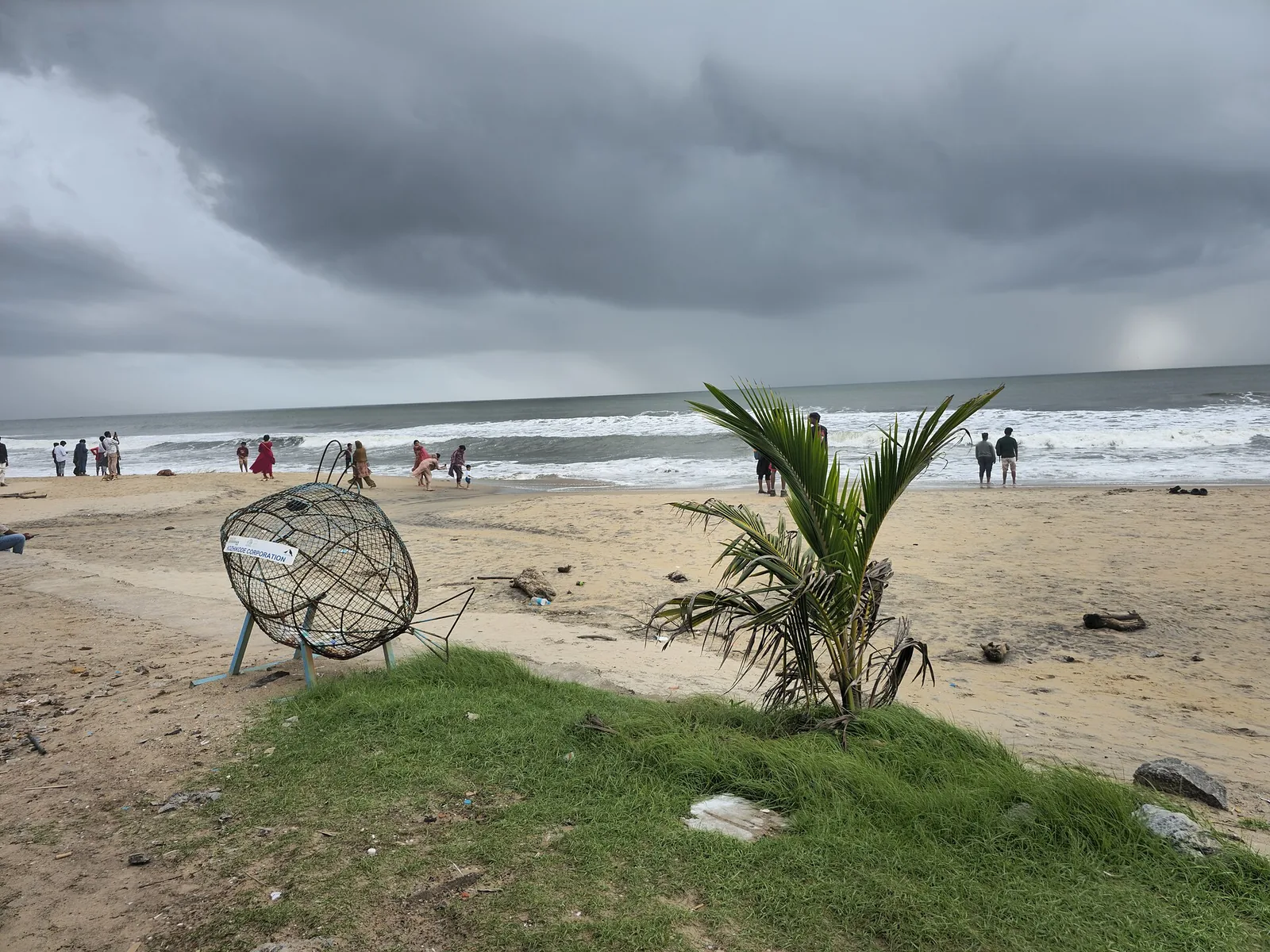
City beach with old pier remains and sunset food stalls.
27.7 km · straight line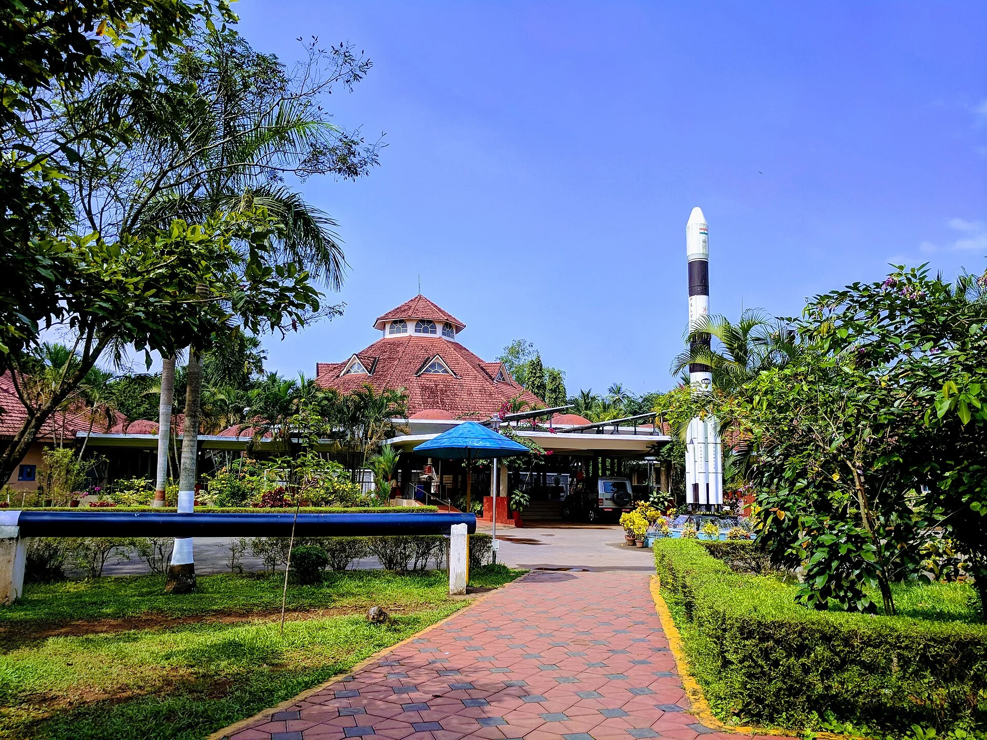
A National Council of Science Museums centre in central Kozhikode — five galleries, a 3D theatre and an outdoor science park. ⚠ Its planetarium has been closed for a projector replacement since 13 July 2026 with no announced reopening date.
28.1 km · straight line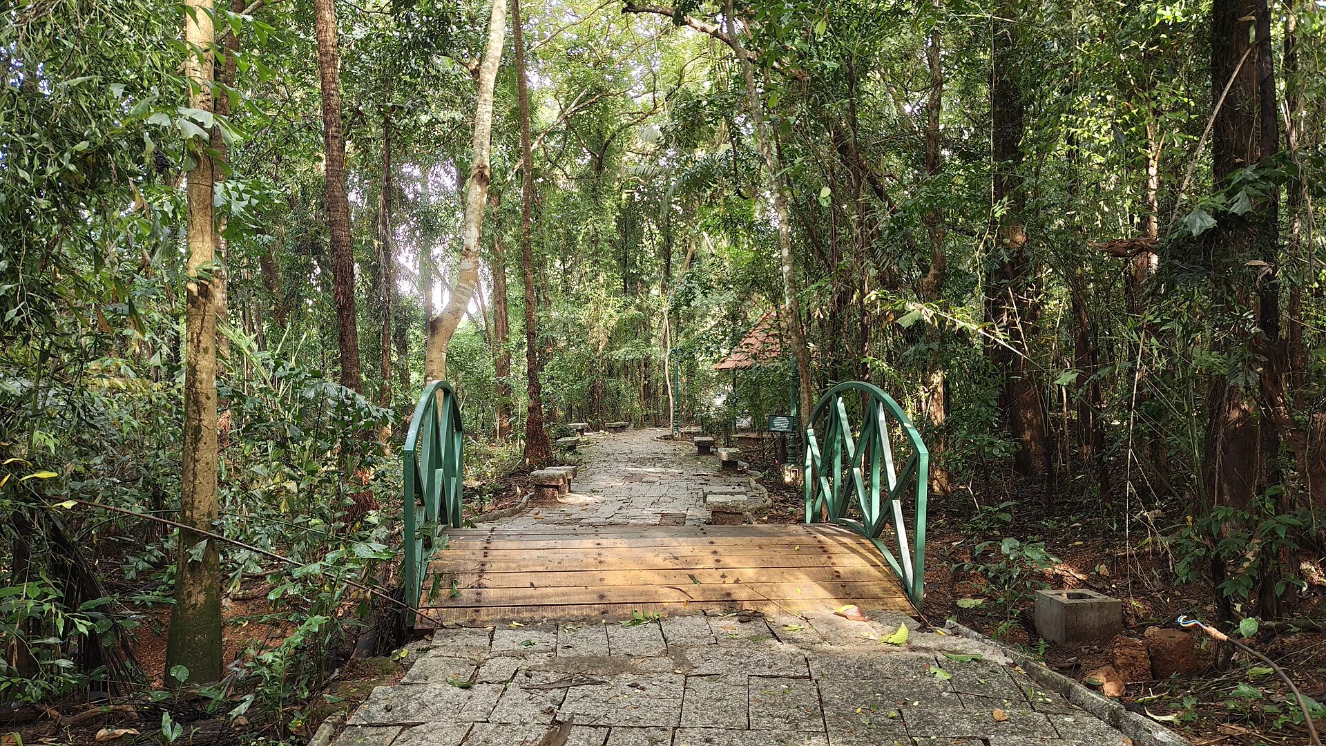
A 98-acre public eco-park on the Conolly Canal in central Kozhikode, the developed part of the Kottooli wetland — mature urban woodland and mangrove-fringed water, mid-renovation and partly not operating.
28.1 km · straight line
Landmark park in the city centre on the old Zamorin palace grounds, around the Mananchira tank, with a musical fountain.
28.5 km · straight lineNearby toilets, pharmacies, ATMs, seating and vets are community-mapped and may be incomplete or out of date. Map data © OpenStreetMap contributors | Walking times © openrouteservice.org by HeiGIT
Yes. Kadalur Point is the official name used by the Directorate General of Lighthouses and Lightships and on charts; Thikkoti or Thikkodi is the local name, taken from the nearby railway halt and market, and it is what almost everyone in the area actually says. The confusion is more than a century old — Presidency files of the 1900s spelt the place Kadalur, Cotta, Kottah and Kotta more or less interchangeably.
The tower was commissioned on 20 October 1909, after construction that began at the end of 1907. It is thirty-four metres tall, and because it stands on a hillock the light sits about fifty-seven metres above mean sea level. Its character is a single white flash every five seconds, with a nominal range of twenty nautical miles per the Directorate’s ledger. Sources claiming a start date of 1907 are describing when building began, not when the light was lit.
It is about seven kilometres from Koyilandy and around fifteen and a half from Vadakara, both of which are on the coastal railway and the highway; the nearest market is Nandi, roughly a kilometre and a half from the gate. The tower is opened to visitors for a short window in the afternoon and is typically closed one day a week, so confirm before travelling. Allow about an hour.
On a clear day, yes — as a low pale shape on the horizon rather than a foreground feature. The rock lies roughly eight kilometres offshore, is about a hectare in area and rises only some six metres above the sea, so haze hides it often. It is not accessible from the lighthouse; reaching it means a boat from the Payyoli side, and it is a rough landing.
No. That claim is repeated widely and is not supported by the construction record: the tower was raised on ordinary acquired farmland on a laterite hillock. There is a documented wreck nearby — a vessel carrying logs and bamboo from Beypore to Cannanore struck a submerged rock on 30 January 1909, and local fishermen took the crew off — but it happened out at the reef, nine months before the light was first shown.
Nobody can say for certain, and at least four explanations circulate: that Kunhali Marakkar’s men killed a Portuguese ship’s crew there; that the Portuguese threw people off it; that the name recalls Portuguese executions of Mappila Hajj pilgrims, a suggestion attributed to the historian M. G. S. Narayanan (1932–2025); and that the British named it after pirates beheaded English prisoners on it. None is documented. The name is on Admiralty charts by the nineteenth century.
Winter brings migratory shorebirds to this coast, and the walk down to the shore is pleasant for it. But the claim that Velliyamkallu is a rare-migratory-bird rock is loose copy. The rock’s real ornithological interest is the Indian edible-nest swiftlet, a resident colonial breeder whose saliva nests were harvested commercially there in the nineteenth century. We found no evidence that the rock is a designated sanctuary or recognised birding hotspot.
The optic. It is a second-order revolving lens by Chance Brothers of England, seven hundred millimetres across with four panels at ninety degrees, floating on one hundred and nineteen kilograms of mercury and turning at three revolutions a minute. For eighty-seven years it was driven by a hand-wound falling weight through clockwork; electric motors took over in 1996. The lantern room itself, with its curved glazing and brass ventilators, is original.
Clear post-monsoon and winter days are best; mist can block views in hill areas.
Entry: A small lighthouse ticket (plus a camera fee) may apply; confirm locally. Timings: Open only for a few hours in the afternoon — check current timings before travelling.
Base yourself in Vadakara or a nearby town in Kozhikode, then confirm the last-mile route locally before leaving. Go early for clearer light and easier parking; sunset viewpoints can crowd quickly. If the visit depends on forest, temple, boat, ferry, weather or seasonal access, check the official/local rule on the day before travel.
45 minutes to 2 hours.
Nearby you can pair Koyilandy (7.0 km, approximate straight-line separation), Kolavipalam Beach (9.8 km, approximate straight-line separation), Iringal Sargaalaya (10.6 km, approximate straight-line separation), Kunjali Marakkar Museum (11.2 km, approximate straight-line separation).
Stay behind barriers and away from cliff edges. Avoid viewpoints during lightning or heavy rain.
Written about Thikkoti Lighthouse itself — its history, its legends and the arguments about them.
These guides explore Vadakara and the surrounding area. Choose a visit that fits your interests, allowing separately for travel between stops.
Route-level itineraries and practical guides for the rest of Kerala.
Photographs: Dr Ajay Balachandran (CC BY-SA 4.0), United Kingdom Hydrographic Office (Public domain). Wikimedia Commons.


