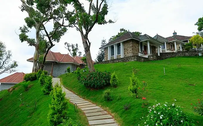
What to expect
Highlights
- Reservoir and dam views at Peppara Dam
- Engineering landmark or garden/viewpoint stop
- Pair with nearby hill, forest or town routes
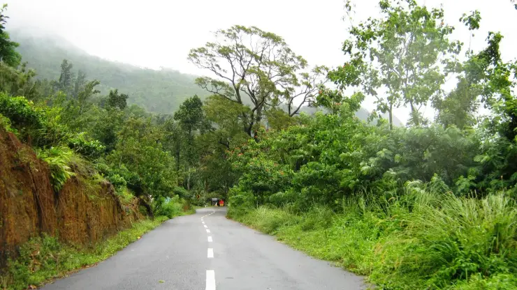
A reservoir on the Karamana river at the edge of the Peppara Wildlife Sanctuary near Ponmudi, with forest and elephant habitat.
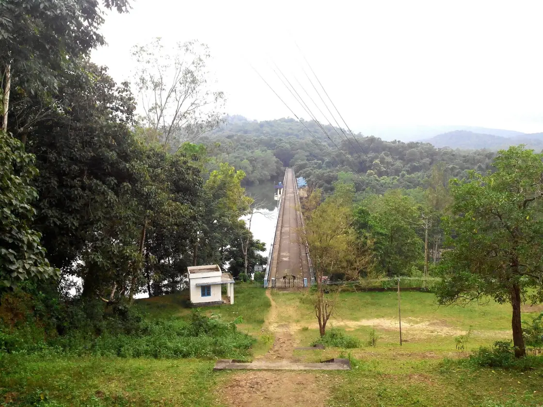
Every glass of tap water in Thiruvananthapuram starts here. The Peppara dam holds back the Karamana river in the Agasthyamala foothills, and the reservoir behind it — forest on every side, no settlement in view — is the reason the city below has a water supply at all.
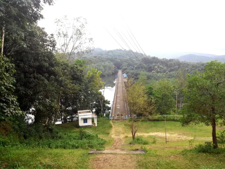
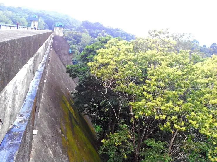
The dam is a plain, functional structure and it is not the point. What you come for is what stands behind it: a long, irregular sheet of water pushed up into the folds of the forested foothills, with wooded ridges dropping straight to the shoreline and the Agasthyamala range rising beyond. Because the reservoir sits inside the Peppara Wildlife Sanctuary, there is no development in view on any shore — no houses, no farms, no boats except the Forest Department's. That absence is unusual enough in Kerala to be startling.
The Karamana river, which this dam impounds, is the river that runs through Thiruvananthapuram — past Thiruvallam, where the district's principal ancestral rites are performed, and out to the sea near Poovar. Standing at Peppara, you are at the top of a system whose bottom end is a city of a million people. The dam was built to hold the monsoon and release it slowly through the dry months, and the forest above it exists in its protected form precisely to keep the water clean and the catchment stable.
For a visitor the experience is a short one and should be planned that way. There is the dam itself, the view over the reservoir from the road and the higher ground, and — with Forest Department permission — the walking routes into the catchment. There is no boating for casual visitors on the scale of Neyyar, no visitor complex, and very little in the way of facilities. It is a viewpoint and a trailhead rather than a day out.
The wildlife is the sanctuary's, not the dam's, and the same rules apply here as anywhere in this landscape. Elephants use the catchment and the shoreline; the forest is unfenced. The drawdown zone around the reservoir — the band of bare ground exposed as the water level falls through the dry season — looks like a beach and behaves like a bog, and the water deepens fast a very short way out. It is not a place to walk down to the edge.
The best time is the same as everywhere on this side of the hills: October to March for comfort and access, with the reservoir at its fullest and the surroundings at their greenest immediately after the monsoon, when access is most likely to be restricted. Early morning is when the water is still and the ridges reflect, and it is also when you have any chance at all of seeing something move on the far shore.
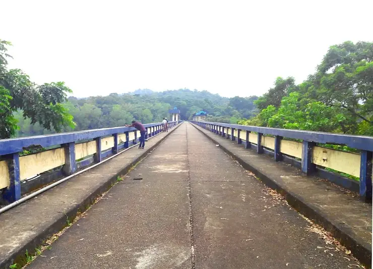
One number is worth carrying up here, because it changes what you are looking at. The dam is 423 m long and its catchment covers about 83 square kilometres, against a live storage far larger than the small, much older reservoir at Aruvikkara downstream that the city actually draws from. What Peppara does is not supply the city directly; it holds a monsoon and lets it out down the river through the dry months. You are standing at the top of a two-stage system, not at a tap.
Fit it into the day rather than making a day of it. The turning is off the Vithura road on the way up to Ponmudi, which means Peppara costs you very little if you are going to the hills anyway and a good deal if you are not. An hour here is generous for the dam and the reservoir views; anything longer needs the Forest Department walking routes, and those need permission arranged in advance rather than at the gate. The sensible shape is Peppara on the way up in the early morning, when the water is still, and the hill road afterwards.
The commonest thing said about Peppara is that the whole catchment is protected as a wildlife sanctuary. It is not quite. The catchment above the dam runs to roughly 83 square kilometres; the Peppara Wildlife Sanctuary covers about 53. The sanctuary is the larger part of the catchment and not all of it, which matters if you are thinking about where the city's water comes from: a meaningful share of the ground that drains into this reservoir sits outside the protected boundary. The undeveloped shoreline you can see is real. The claim of a wholly protected watershed behind it is a simplification.
The second correction is about sequence, and it is the more interesting one. Our history section framed this as a dam built first for water, with the forest protected afterwards as a consequence — a tidy story in which conservation follows engineering. In fact the dam was completed by the Kerala Water Authority in 1983 and the sanctuary was constituted in 1983. They are the same year. Whatever the internal order of the paperwork, this was not protection arriving late to defend an existing asset; the reservoir and its sanctuary were established together, as two halves of one decision about a watershed.
It is also not strictly true that Thiruvananthapuram's water starts here in the sense most visitors take from the phrase. Peppara is storage. Water is released from it down the course of the Karamana to Aruvikkara, several tens of kilometres downstream, and it is at Aruvikkara — a far older and very much smaller reservoir — that the city's intake and its treatment plants sit. Peppara exists because Aruvikkara's own storage was tiny and could not carry the city through a dry season. Calling Peppara the source is fair; imagining that the pipes to the city start at this dam is not.
A smaller thing that most descriptions miss entirely, this page included: the dam is not purely a water-supply structure. It carries a small hydroelectric station of about 3 MW. That does not make Peppara a power project in any meaningful sense — the scale is trivial next to its water role — but a visitor who has been told this is a drinking-water dam and nothing else is liable to be puzzled by the infrastructure, and the honest description is a water-supply dam that also generates a little electricity on the release.
Finally, the emptiness. It is tempting to read a shoreline with no buildings on it as forest without people, and this landscape is not that. The sanctuary contains settlements of the Kani, whose knowledge of these forests is documented well enough to have produced one of India's most-cited cases in the law of traditional knowledge and benefit sharing. What you are looking at from the dam is a protected and largely unbuilt catchment, which is a different and more accurate thing than an empty one.
One last note on the name, since it causes needless confusion in trip planning. Peppara dam, Peppara reservoir and Peppara Wildlife Sanctuary are three descriptions of one place rather than three destinations, and listings that present them separately will have you allowing time for visits you have already made.
The Peppara dam was built across the Karamana river in the Agasthyamala foothills by the Kerala Water Authority, and completed in 1983, to secure the drinking-water supply of Thiruvananthapuram. It is 423 m long, its catchment covers about 83 square kilometres, and it also carries a small hydroelectric station of around 3 MW.
It was built because the existing arrangement could not hold enough water. The city's intake and treatment works are at Aruvikkara, well downstream, and Aruvikkara's own reservoir is small — far too small to carry Thiruvananthapuram through a dry season. Peppara was added upstream as the storage that Aruvikkara lacked, releasing down the river course to it as the city requires.
The Peppara Wildlife Sanctuary was constituted in the same year, 1983, covering roughly 53 square kilometres of the catchment — the greater part of it, though not the whole. The two things belong together: this is a protected watershed, and its considerable value as habitat is inseparable from the fact that a city downstream needs the water to arrive clean.
The sanctuary adjoins Neyyar to the south and sits within the wider Agasthyamala Biosphere Reserve, making this stretch of protected forest continuous with a much larger landscape running to the Tamil Nadu border.
The Karamana itself has a long association with the capital, flowing past Thiruvallam — the district's main site for ancestral rites — before reaching the sea in the south of the district.
The reservoir has no development on any shore, because its whole catchment is a protected sanctuary — an entirely undeveloped waterscape, which is rare in Kerala.
It is the source of Thiruvananthapuram's drinking water, and standing at the top of that system is a genuinely different way to understand the city below.
The view across the water to the Agasthyamala foothills is the best long sightline on this side of the hills.
It is the gateway to the Peppara Wildlife Sanctuary and its guided walking routes, through intact wet evergreen forest that is among the few places in the far south where the endangered lion-tailed macaque is known to occur.
It sits on the Ponmudi road, so it slots easily into a hill day from the capital without a detour of any length.
Road km to Thiruvananthapuram; ghat roads and traffic vary — allow extra.
Post-monsoon and winter for scenery; monsoon access may change.
Live forecast loads in your browser.
Sun and moon are calculated for this location and shown in IST. Photography windows are the hour around sunrise and sunset; the sunset bearing is degrees clockwise from true north. Moon phase is accurate to about half a day.
These are official or public-sector eco offerings that match this place, town or forest destination. Confirm availability, permits, tariffs and reporting times with the official operator before travel.
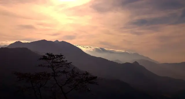
Permit-controlled trek to one of the southern Western Ghats’ most important peaks and sacred forest landscapes.
Official source →Grassland and ridge trek in the Ponmudi landscape, usually handled as a controlled forest trek.
Official source →Forest and reservoir landscape in the southern Western Ghats, listed by Kerala Tourism as an ecotourism destination.
Official source →Browse listed stays, food, activities, sights, shops and rentals around Peppara Dam. Check each listing’s locality and contact the business directly for current arrangements.
Restaurant at KTDC Golden Peak for travellers staying on or visiting the Ponmudi hill route. KTDC resort restaurant.
Book with the place itself. India’s cyber-crime coordination centre warned in April 2025 that convincing copies of hotel and pilgrimage booking sites are being pushed through sponsored search and social ads, taking payment for rooms the property never hears about. Use the contact and source details on each profile to confirm the exact business and booking channel. A directory entry or map pin alone does not establish an operator’s identity or current availability. Roampedia takes no commission and does not collect booking payments. If a booking page reached you through an ad, check the address bar against the property’s own site before you pay. Fraud can be reported on cybercrime.gov.in or on 1930.
Find food, accommodation and activities across Ponmudi. Browse the guides for places to eat, stay and explore along your route.
8 more places around Ponmudi. Open a guide to plan the visit and onward journey.
A forest-edge cascade on the Mankayam river near Palode whose safe approach depends on rainfall, local guidance and current access controls.
29.5 km · 42 min drive
A small hill station and viewpoint drive in the southern Western Ghats.
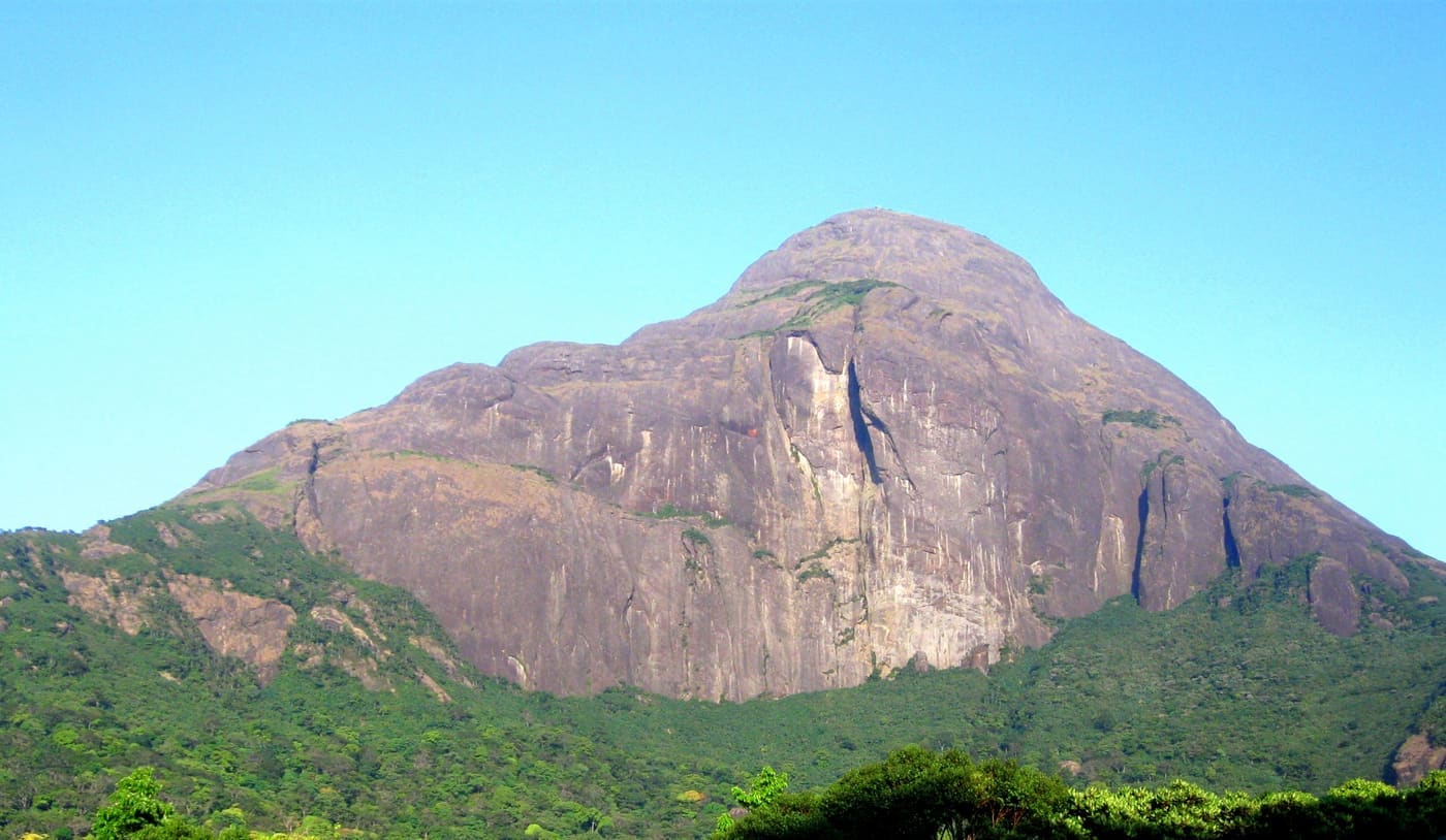
11.9 km · straight line
Permit-only forest trek to a sacred Western Ghats peak, usually opened seasonally by the forest department.
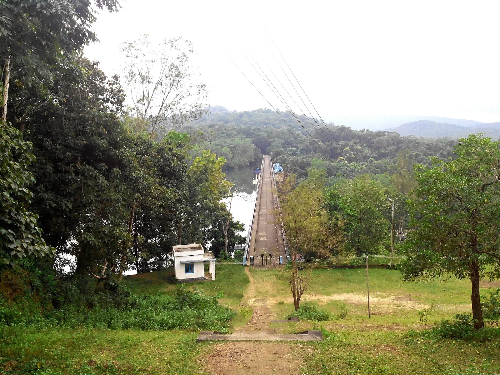
Forest Department trekking in the Peppara Wildlife Sanctuary on the Ponmudi–Vithura side, through the Karamana-river catchment and Agasthyamala foothills.
17.3 km · 23 min drive
Hill trekking around Ponmudi (“Golden Peak”, about 1,100 m) and the Kallar / Golden Valley trails, a cooler high-range walk near Thiruvananthapuram.
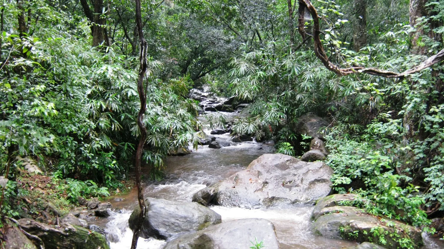
19.2 km · 31 min drive
Kallar Meenmutty Falls is reached through forest beside the river below Ponmudi. The approach is part of the attraction: trees, bamboo and running water lead towards the cascade.
32.0 km · 46 min drive
Ponmudi’s upper viewpoint opens onto grass-covered ridges and Western Ghats valleys. Clear weather brings the long view; mist turns the same outing into a close study of the hills.
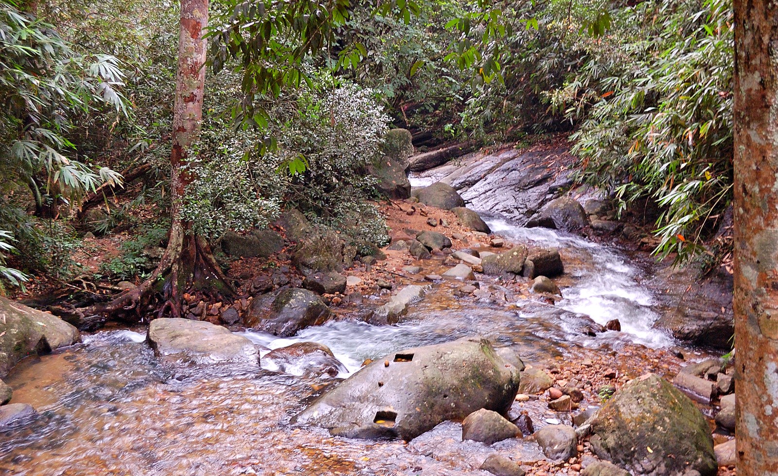
9.8 km · straight line
Golden Valley is a rocky reach of the Kallar River below Ponmudi. Boulders, flowing water and forest give this lower-hill stop its character; it is not a hilltop panorama.
Roampedia is commission-free — own or know a stay, eatery, guide or shop near Peppara Dam? Submit public business details for review.
Add a nearby businessEntry: Free to view the reservoir; forest eco-tourism access is arranged through the sanctuary and charged.
On the Karamana river near Vithura, on the Ponmudi road about 45 km north-east of the city; reachable by car.
If you are travelling by bus or ferry, check the return service with the operator before setting out. Leave time to reach the stop or jetty after your visit.
Ask at the bus stand for the time of the last service back, not the next one. If you miss it, an auto or app cab is the fallback — agree the fare before you get in.
If you need step-free access, contact the site before travelling. Ask about a level entrance, steps along the route, the nearest drop-off point, seating and accessible toilets.
Published emergency and visitor-assistance contacts. For an immediate emergency, call 112. Shared Kerala contact sources checked 4 October 2026; publication does not establish a tested live response.
Golden Valley is a rocky reach of the Kallar River below Ponmudi. Boulders, flowing water and forest give this lower-hill stop its character; it is not a hilltop panorama.
9.8 km · straight line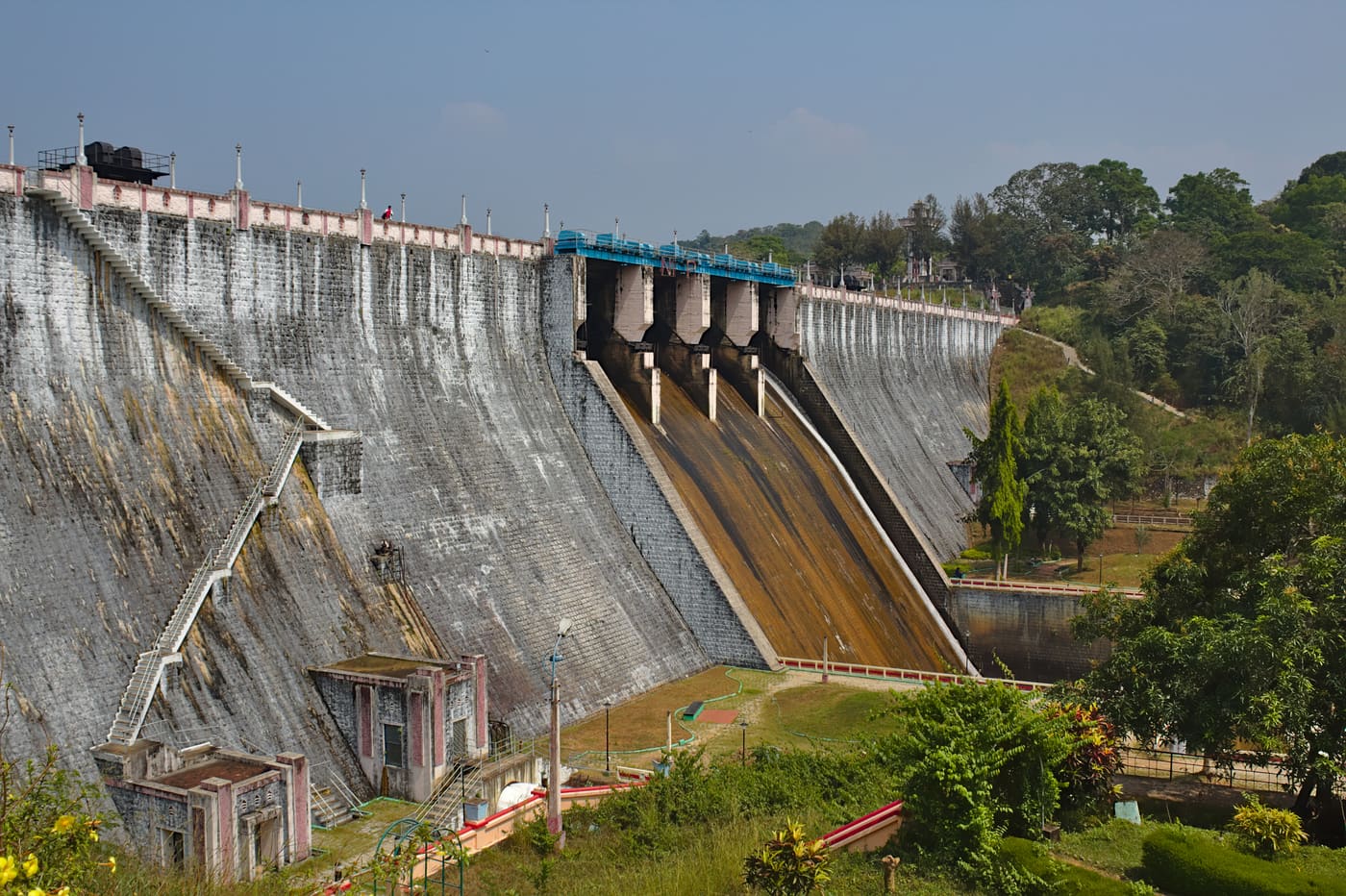
Guided forest trekking in the Neyyar Wildlife Sanctuary near the Agasthyamala foothills, south-east of Thiruvananthapuram.
9.9 km · straight lineNeyyar Dam opens onto a broad reservoir beneath the Agasthyamala foothills, inland from Thiruvananthapuram. Wooded hills frame the water, giving this outing a different pace from the city’s beaches.
9.9 km · straight line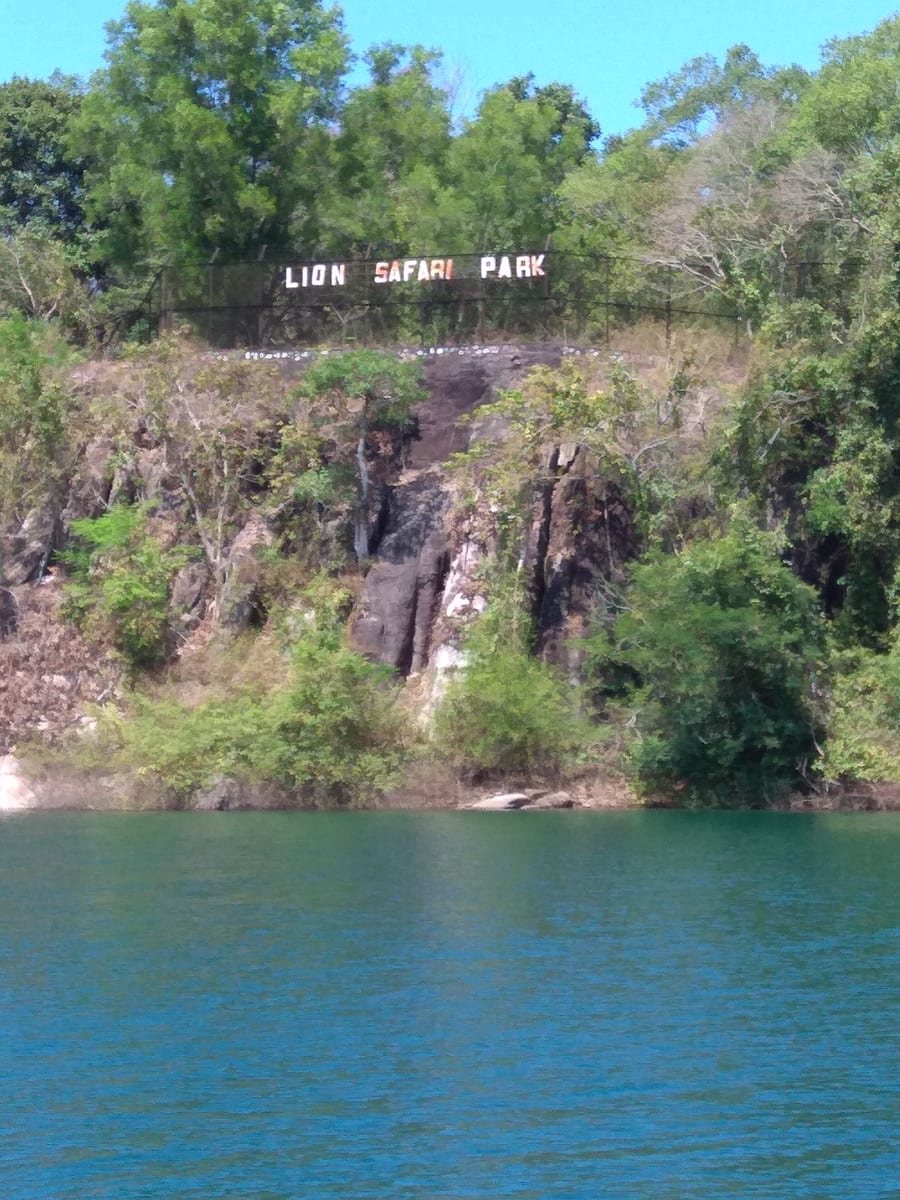
Neyyar Wildlife Sanctuary protects forest around the reservoir below Agasthyamala. A visit should centre on an authorised nature programme, with wildlife understood as habitat rather than a promised sighting.
10.5 km · straight linePermit-only forest trek to a sacred Western Ghats peak, usually opened seasonally by the forest department.
11.9 km · straight line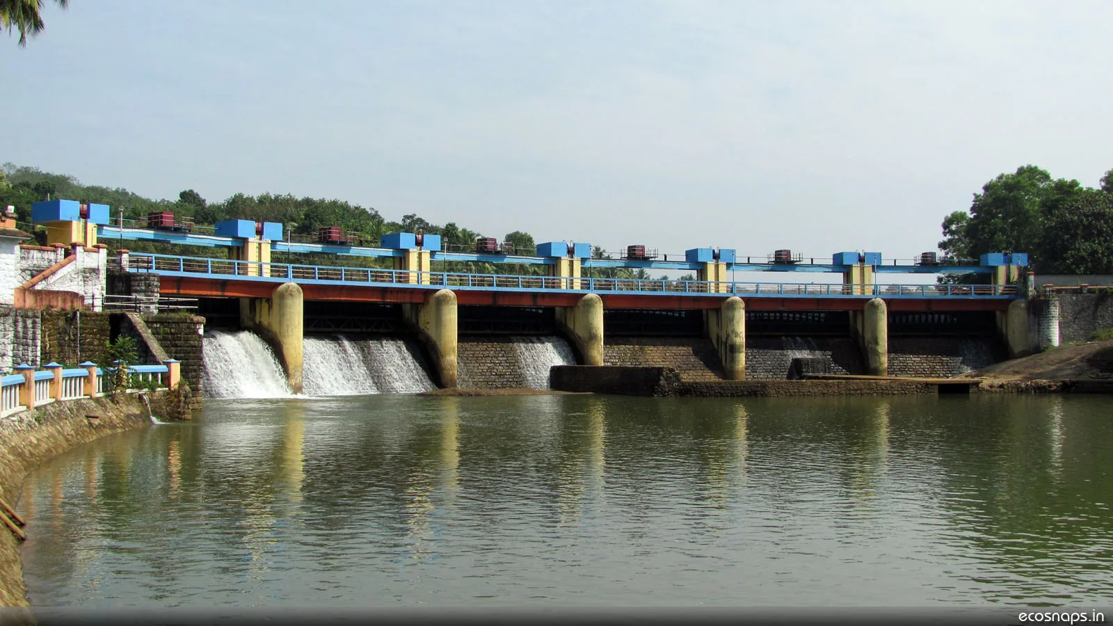
A reservoir, riverside temple and small park on the Karamana river north-east of the city, a popular local picnic spot.
14.7 km · straight line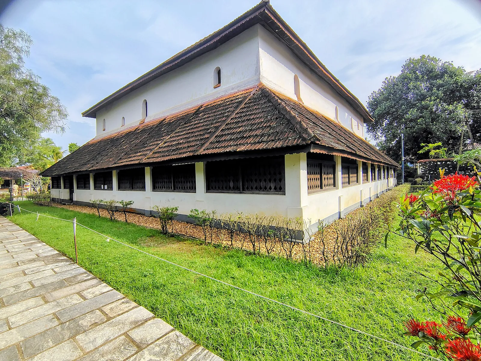
Koyikkal Palace at Nedumangad houses folklore and coin collections inside a traditional Kerala palace. Everyday objects, instruments and currency make this a more intimate museum stop than a grand royal gallery.
14.9 km · straight lineHill trekking around Ponmudi (“Golden Peak”, about 1,100 m) and the Kallar / Golden Valley trails, a cooler high-range walk near Thiruvananthapuram.
17.3 km · 23 min driveKallar Meenmutty Falls is reached through forest beside the river below Ponmudi. The approach is part of the attraction: trees, bamboo and running water lead towards the cascade.
19.2 km · 31 min drive
Kanakakunnu puts a Travancore palace among gardens and cultural venues near Thiruvananthapuram’s Museum Park. Come for an evening walk or choose a date around a performance.
23.4 km · straight lineA small hill station and viewpoint drive in the southern Western Ghats.
29.5 km · 42 min drivePonmudi’s upper viewpoint opens onto grass-covered ridges and Western Ghats valleys. Clear weather brings the long view; mist turns the same outing into a close study of the hills.
32.0 km · 46 min driveRoad and walking figures are route estimates, with travel times dependent on access, traffic and conditions. Figures marked “straight line” show direct separation and do not describe a road or walking route. Fare estimates use Kerala’s 26 April 2022 auto/taxi notification and exclude waiting, night and applicable one-way surcharges. Confirm the current meter or operator quote before travelling. Routing: © openrouteservice.org by HeiGIT | Map data © OpenStreetMap contributors
The Karamana, which rises in the Agasthyamala foothills and flows down through Thiruvananthapuram — past Thiruvallam — to reach the sea in the south of the district. The dam is the principal source of the city's drinking water.
Not in the way you can at Neyyar. This is a protected drinking-water catchment rather than a recreation reservoir, and there is no general boating provision for visitors. Forest Department access into the catchment is by permission and with a guide.
They are the same place seen two ways. The sanctuary, constituted in 1983 and covering about 53 square kilometres, is the protected catchment above the reservoir. The dam is the structure at its lower end. The forest is protected because the water supply depends on it.
No. The drawdown zone exposed as the water level falls looks like a beach and is soft and unstable, the water deepens rapidly a short way out, and this is unfenced elephant country. Stay on the road and the higher ground.
October to March for comfort and reliable access. The reservoir is fullest and the forest greenest just after the monsoon, but that is also when access is most likely to be restricted. Early morning gives the stillest water and the best chance of seeing anything move on the far shore.
Roughly 50 km, via Vithura on the road towards Ponmudi. Public transport is limited and gate timings are early, so most visitors come by car or taxi.
It was completed in 1983 by the Kerala Water Authority, across the Karamana river in the Agasthyamala foothills. The dam is 423 m long and its catchment covers about 83 square kilometres. The Peppara Wildlife Sanctuary was constituted in the same year, which is worth knowing because the two are usually described as though protection came along some time after the engineering.
Not directly. Peppara is storage: water is released from it down the course of the Karamana to Aruvikkara, well downstream, and it is at Aruvikkara that the city's intake and treatment plants sit. Peppara was built precisely because Aruvikkara's own reservoir is far too small to carry the city through a dry season. So this is the top of a two-stage system rather than the point the pipes start from.
Most of it, not all. The catchment above the dam runs to roughly 83 square kilometres and the sanctuary covers about 53, so a real share of the ground draining into this reservoir lies outside the protected boundary. The undeveloped shoreline in front of you is genuine; the frequently repeated claim of a wholly protected watershed is a simplification.
It combines very well and needs about an hour on its own. The turning is off the Vithura road on the way up to Ponmudi, so it costs a short detour rather than a separate trip. An hour covers the dam and the reservoir views comfortably; going further means the Forest Department walking routes into the sanctuary, which require permission arranged in advance. Most people do Peppara early, when the water is still, and carry on up the hill afterwards. Bring your own water and food — there is no visitor complex here and very little in the way of facilities of any kind.
A little. It carries a small hydroelectric station of around 3 MW, which is trivial next to its water-supply role but does explain infrastructure that puzzles visitors who have been told this is purely a drinking-water dam.
Yes. The sanctuary contains settlements of the Kani people, whose knowledge of these forests is documented well enough to have produced one of India's most-cited cases in the law of traditional knowledge and benefit sharing. An undeveloped shoreline is not the same as an uninhabited forest, and it is worth not confusing the two.
Post-monsoon and winter for scenery; monsoon access may change.
Entry: Free to view the reservoir; forest eco-tourism access is arranged through the sanctuary and charged. Timings: Indicative, confirm locally: daytime; forest access is regulated.
Base yourself in Ponmudi or a nearby town in Thiruvananthapuram, then confirm the last-mile route locally before leaving. Check public access status before travel; dam areas often have security rules and seasonal entry limits. If the visit depends on forest, temple, boat, ferry, weather or seasonal access, check the official/local rule on the day before travel.
1 to 2 hours.
Nearby you can pair Golden Valley (9.8 km, approximate straight-line separation), Neyyar trek (9.9 km, approximate straight-line separation), Neyyar Dam (9.9 km, approximate straight-line separation), Neyyar Wildlife Sanctuary (10.5 km, approximate straight-line separation).
Do not cross barriers or restricted zones. Follow release-warning and security instructions.
Written about Peppara Dam itself — its history, its legends and the arguments about them.
These guides explore Ponmudi and the surrounding area. Choose a visit that fits your interests, allowing separately for travel between stops.


Route-level itineraries and practical guides for the rest of Kerala.


Photographs: Ranjith Siji (CC BY 3.0), Arunelectra (CC BY-SA 3.0). Wikimedia Commons.