What to expect
Highlights
- Trek route around Ponmudi trek
- Western Ghats landscapes and viewpoints
- Guided operator and permit planning
Hill trekking around Ponmudi (“Golden Peak”, about 1,100 m) and the Kallar / Golden Valley trails, a cooler high-range walk near Thiruvananthapuram.
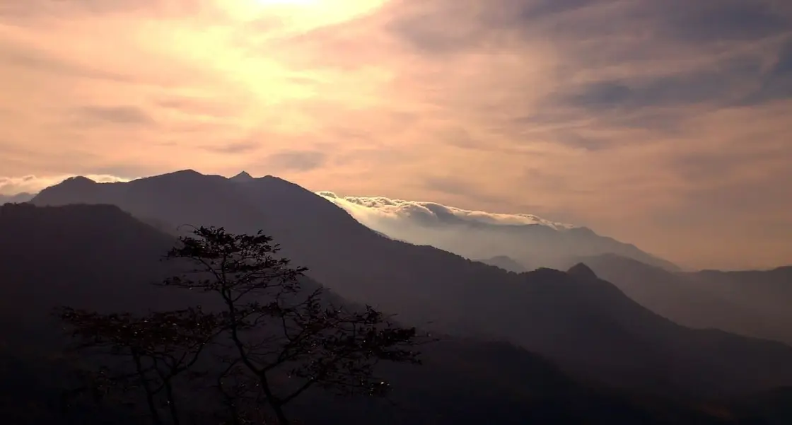
Most people experience Ponmudi through a windscreen. The trekking routes on the same hill — the Kallar riverside trail, the Golden Valley approach, the climb to the grassland edge — are how you meet the mountain at the pace it was built for, and between them they climb through one of the strangest habitat transitions in India.
The walking around Ponmudi is not one route but a set of them, run under Forest Department control from the Kallar area at the foot of the ghat road and from points along the climb. They range from a couple of easy hours along the river to a sustained half-day pushing up towards the grassland edge below the ridge, and which ones are running depends on the season, the weather and the rules in force.
What they all share is the transition. Start at Kallar, at a few hundred metres, and you are in wet evergreen jungle — buttressed trees, dense understorey, bamboo, a permanent green half-light. Climb and the trees thin and shorten. High on the hill, and quite abruptly, the trees stop and open grassland begins, with what remains surviving only in sheltered folds as dark, dense, stunted islands. That is the shola–grassland pattern, one of the most restricted and least understood habitats in the subcontinent — though, as the myths section explains, it sits far higher up this hill than most accounts suggest, and most of these routes never reach it.
The transition is not caused by altitude alone. Sholas persist in the hollows because those hollows hold moisture and shelter from frost and fire, while the exposed slopes between them stay grass. The result is a landscape that looks deliberately designed — dark green blobs in a sea of straw — and is in fact the outcome of a very fine balance of fire, frost and water that is easily and permanently upset.
The riverside section deserves more credit than it gets, particularly now that it is what most visitors here actually walk. The Kallar runs clear over a bed of rounded boulders, shaded almost the whole way, and the trail crosses and recrosses it on stone and root. It is easy going by the standards of this hill and it rewards stopping: the pools hold fish you can watch without equipment, the bamboo brakes are noisy with birds early on, and the light coming through wet canopy onto moving water is the single most photographed thing on this side of Ponmudi. Treat it as a destination rather than the warm-up for a climb you may not be allowed to make, and the day works regardless of what the check-post decides about the upper routes.
The wildlife follows the habitat. Low down, look up: Malabar giant squirrel, hornbills, and if you are quiet and lucky, the langurs. Elephants use the lower catchment and their sign — dung, pushed-over bamboo, footprints in the soft ground near water — is common on these trails. This is precisely why a guide is required on most routes and why the guide's instructions are not open to negotiation.
The practical business is straightforward. Go early, because the check-posts operate on Forest Department timings and want walkers off the hill well before dusk. Go in the dry months, roughly October to March, because these are steep, root-bound trails that become genuinely hazardous when wet and because the leeches from June to November are relentless. Carry salt. Wear something with a sole that grips. And carry your rubbish out — plastic is prohibited beyond the check-post and the rule is enforced.
The correction that matters most on this page is one we published ourselves. It is often written that somewhere above about 900 metres the trees stop and the grassland begins. That figure is too low, and it does not survive contact with the shape of the hill. The shola–grassland system of the southern Western Ghats is generally described as a habitat of roughly 1,200 metres and upwards, with many authors putting its working floor nearer 1,500. Ponmudi's own top is only about 1,100 metres. Put those two numbers together and a tree line at 900 metres would mean two hundred metres of open grassland on a hill that in practice carries a thin cap of it right at the summit and tree cover almost everywhere else. The grassland here is real, but it belongs to the last stretch of the climb, not to a line drawn two-thirds of the way up.
That has a direct consequence for what these walks actually show you, and it is the second thing usually got wrong. Kallar is routinely described as the most accessible place in southern Kerala to walk through the shola–grassland mosaic. Most of the routes run from Kallar do nothing of the kind. The riverside trail and the Golden Valley approach stay in wet evergreen jungle several hundred metres below any grassland at all, and they are excellent for exactly that reason — buttressed trees, bamboo, hornbills, the green half-light. Only the sustained climb towards the ridge gets near the open ground, and whether it is running at all depends on the season and the rules in force. Book a trek here expecting grassland and you will very often spend the day under trees instead. That is a good day out; it is just not the one the descriptions promise.
It is worth being precise about the phrase we attached to it, too. We described the habitat as one that exists nowhere else on earth. Scoped to the shola–grassland system of the southern Western Ghats that is a fair statement — it is a genuinely endemic assemblage, and the point stands. Scoped to Ponmudi, it was doing unearned work, because the sentence implied these particular trails deliver it. The reason the habitat reaches down this far south and this low at all is that the threshold drops on mountains near the coast: a maritime, cloud-soaked air mass brings the conditions down the slope, and Agasthyamala is close to the sea. Ponmudi is a low-lying outlier of the system, which is interesting in itself and is what we should have said.
One figure we checked and did not need to change, recorded here so nobody re-opens it. This page puts the trailheads barely 45 km from Thiruvananthapuram while our viewpoint page puts the summit at about 55 km, and the standard reference entry gives 53 km to Ponmudi. Those are not in conflict: Kallar sits roughly ten kilometres of ghat road below the top, so a shorter figure for the trailheads and a longer one for the summit are both right. Worth knowing when you plan, because the drive to the walking is genuinely shorter than the drive to the view — and because everything, walkers included, now enters through the single forest check-post at Kallar, where numbers are managed and the hill can be closed outright at short notice in heavy rain.
The hill and the country below it lie within the Agasthyamala landscape, with the Peppara Wildlife Sanctuary adjoining to the south. The catchment drained by the Kallar feeds the Vamanapuram river system.
The trails themselves are largely old timber and estate paths rather than purpose-built tourist routes, a legacy of the plantation and sanatorium era that opened this hill in the first place. Formal eco-tourism trekking programmes here are a much more recent overlay, run by the Forest Department with local guides.
The management emphasis has shifted markedly towards control in recent years, driven by pressure of numbers on the hill, litter, and the fragility of the high grassland — which is thin-soiled, slow-growing and does not recover quickly from trampling or fire.
The estate paths these routes inherit have a datable origin. Tea was first planted at Ponmudi in 1884, and in 1900 the Ponmudi Tea and Rubber Company Ltd was formed to work three adjoining estates — Ponmudi, Bon-Accord and Braemore — running to 3,276 acres, of which 1,710 were under cultivation. Moving crop, labour and supplies across that ground is what cut most of the tracks on this side of the hill, and the ghat road above Kallar was laid for the same purpose. Walking here you are following a working landscape rather than a recreational one, which is why the gradients are businesslike and the alignments occasionally make no scenic sense at all.
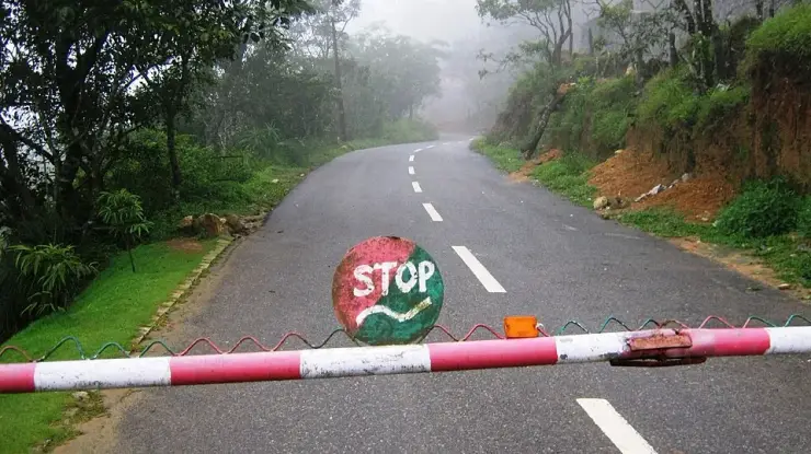
Control of the hill has since been consolidated at a single point. Vehicles and walkers now enter through the Kallar forest check-post, where numbers are managed rather than simply admitted, and where the whole hill can be shut at short notice during heavy rain because of landslide risk on the ghat section. Alcohol, dropped plastic and drone flying are prohibited within the eco-sensitive area.
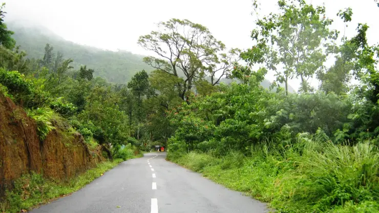
The lower ground is wet evergreen Western Ghats at its densest — buttressed trees, bamboo and a permanent green half-light — and you walk into it within minutes of the check-post.
The trails start barely 45 km from Thiruvananthapuram, so a serious jungle walk is a comfortable day trip from the state capital.
The lower ground is excellent for hornbills, Malabar giant squirrel and langurs, and the walking pace makes them far easier to see than the drive does.
The Kallar riverside section is beautiful in its own right and links directly to the Meenmutty falls walk.
Walking the hill instead of driving it is the only way to feel the altitude change — and the temperature change — that makes Ponmudi what it is.
Road km to Thiruvananthapuram; ghat roads and traffic vary — allow extra.
Post-monsoon to late winter is usually best; avoid heavy-rain days and closed forest periods.
Live forecast loads in your browser.
Sun and moon are calculated for this location and shown in IST. Photography windows are the hour around sunrise and sunset; the sunset bearing is degrees clockwise from true north. Moon phase is accurate to about half a day.
These are official or public-sector eco offerings that match this place, town or forest destination. Confirm availability, permits, tariffs and reporting times with the official operator before travel.
Permit-controlled trek to one of the southern Western Ghats’ most important peaks and sacred forest landscapes.
Official source →Grassland and ridge trek in the Ponmudi landscape, usually handled as a controlled forest trek.
Official source →Forest and reservoir landscape in the southern Western Ghats, listed by Kerala Tourism as an ecotourism destination.
Official source →Browse listed stays, food, activities, sights, shops and rentals around Ponmudi trek. Check each listing’s locality and contact the business directly for current arrangements.
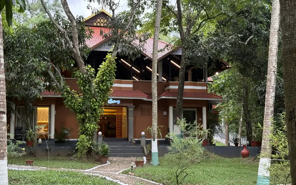
River County Resort is a Kallar-side accommodation option on the Ponmudi route. Check its current booking contact and rooms; the hilltop viewpoint is a separate uphill journey.
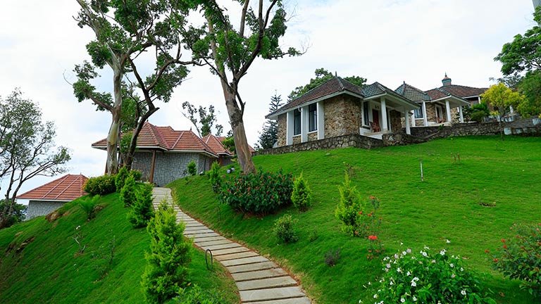
Golden Peak is KTDC’s hill accommodation at Ponmudi. Compare the room and meal package, allowing time for the winding approach and separately managed viewpoint visit.
Book with the place itself. India’s cyber-crime coordination centre warned in April 2025 that convincing copies of hotel and pilgrimage booking sites are being pushed through sponsored search and social ads, taking payment for rooms the property never hears about. Use the contact and source details on each profile to confirm the exact business and booking channel. A directory entry or map pin alone does not establish an operator’s identity or current availability. Roampedia takes no commission and does not collect booking payments. If a booking page reached you through an ad, check the address bar against the property’s own site before you pay. Fraud can be reported on cybercrime.gov.in or on 1930.
Find food, accommodation and activities across Ponmudi. Browse the guides for places to eat, stay and explore along your route.
Walking routes start at Ponmudi trek. Check the route and access before setting out, especially where a road, gate or waterway separates the stops.
8 more places around Ponmudi. Open a guide to plan the visit and onward journey.
A forest-edge cascade on the Mankayam river near Palode whose safe approach depends on rainfall, local guidance and current access controls.
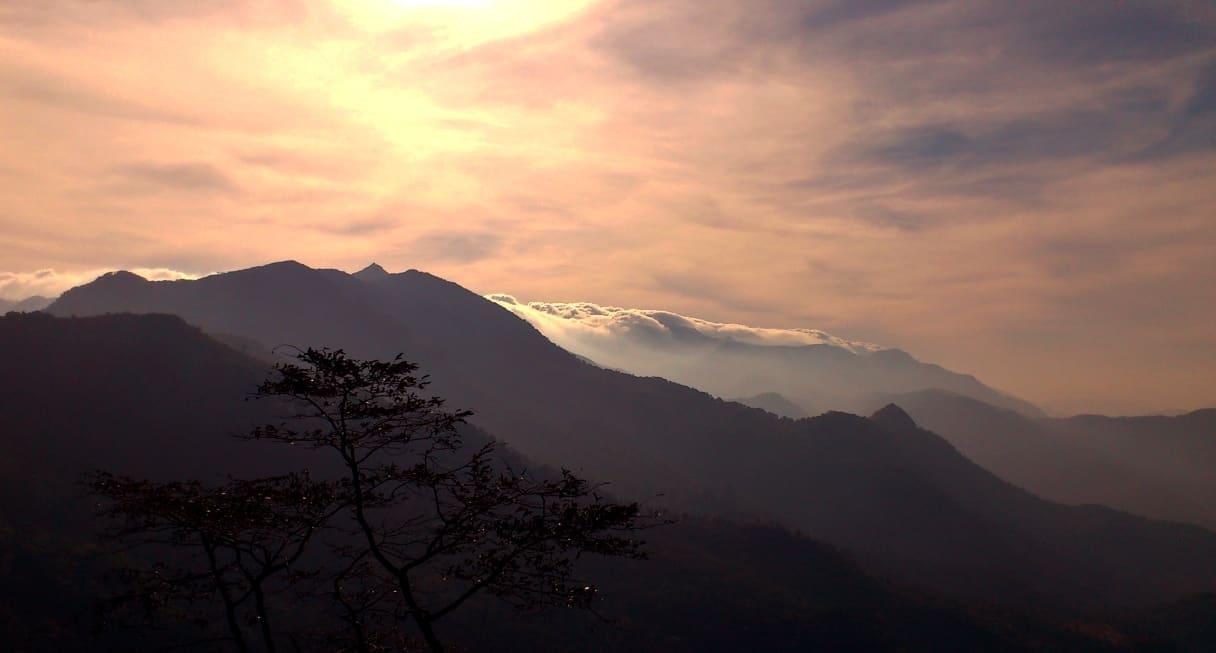
12.3 km · 19 min drive
A small hill station and viewpoint drive in the southern Western Ghats.
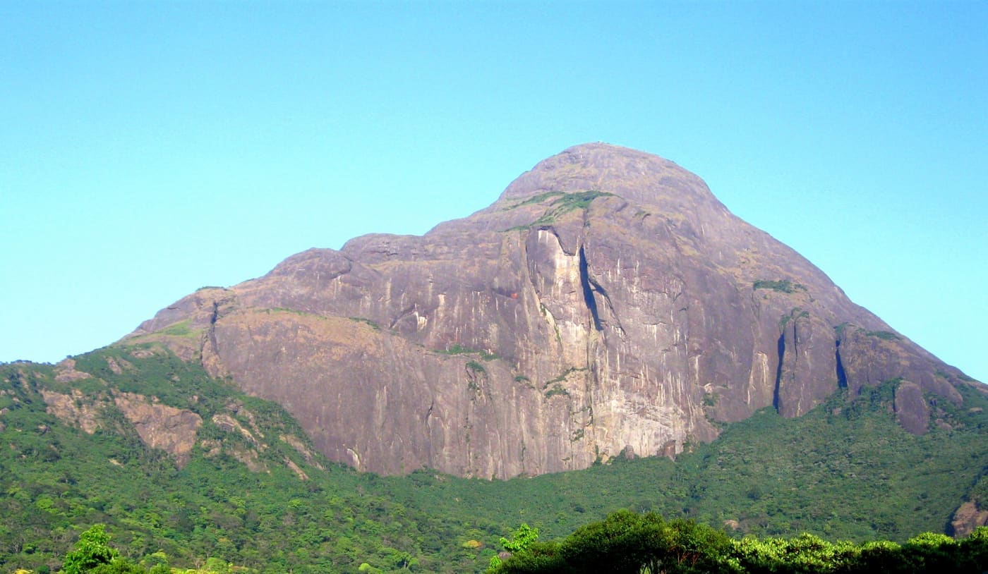
16.6 km · straight line
Permit-only forest trek to a sacred Western Ghats peak, usually opened seasonally by the forest department.
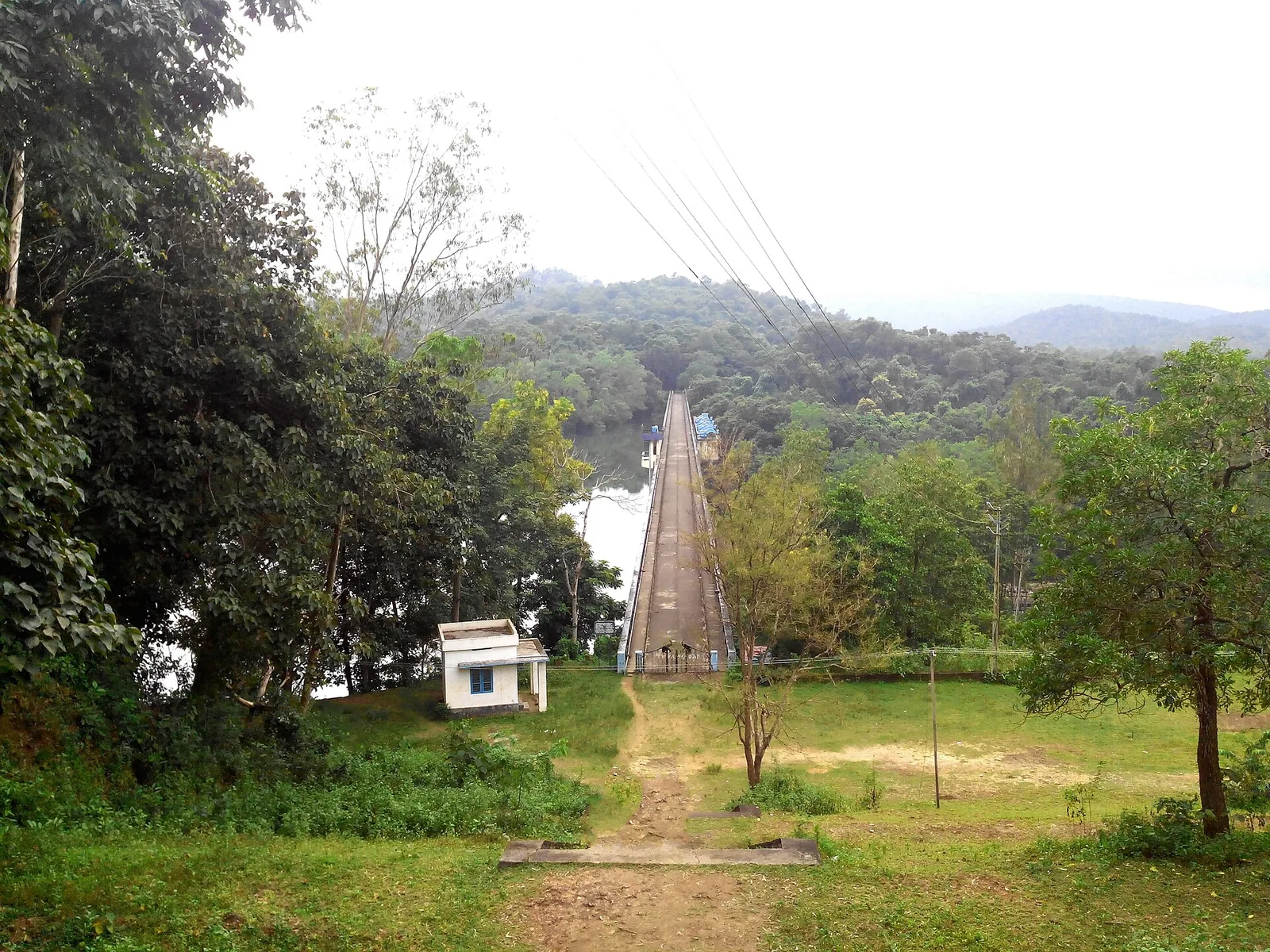
17.3 km · 23 min drive
Forest Department trekking in the Peppara Wildlife Sanctuary on the Ponmudi–Vithura side, through the Karamana-river catchment and Agasthyamala foothills.
17.3 km · 23 min drive
A reservoir on the Karamana river at the edge of the Peppara Wildlife Sanctuary near Ponmudi, with forest and elephant habitat.
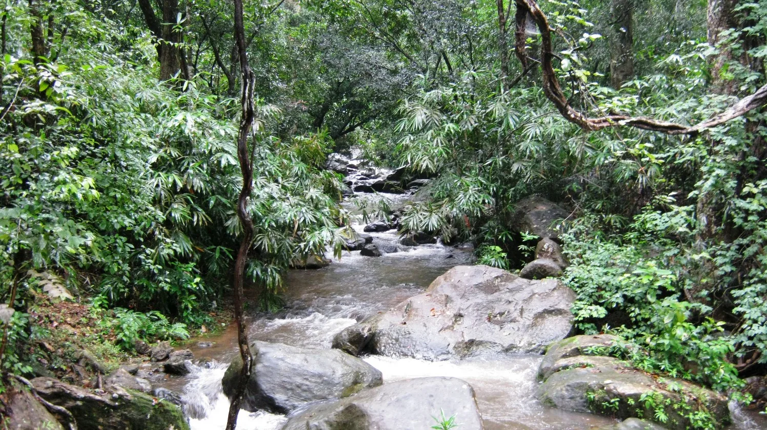
2.2 km · 27 min walk
Kallar Meenmutty Falls is reached through forest beside the river below Ponmudi. The approach is part of the attraction: trees, bamboo and running water lead towards the cascade.
14.7 km · 22 min drive
Ponmudi’s upper viewpoint opens onto grass-covered ridges and Western Ghats valleys. Clear weather brings the long view; mist turns the same outing into a close study of the hills.
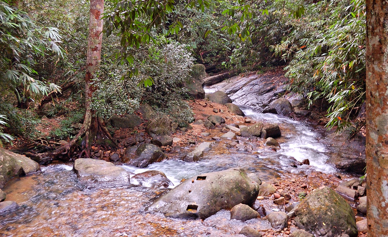
Golden Valley is a rocky reach of the Kallar River below Ponmudi. Boulders, flowing water and forest give this lower-hill stop its character; it is not a hilltop panorama.
Roampedia is commission-free — own or know a stay, eatery, guide or shop near Ponmudi trek? Submit public business details for review.
Add a nearby businessEntry: A nominal forest entry fee, and a guide charge where a guide is required, are collected at the check-post; carry cash.
Photography: Forest interiors, the Kallar river and, higher up, the grassland edge where the shola gives way to open hill.
If you are travelling by bus or ferry, check the return service with the operator before setting out. Leave time to reach the stop or jetty after your visit.
Ask at the bus stand for the time of the last service back, not the next one. If you miss it, an auto or app cab is the fallback — agree the fare before you get in.
If you need step-free access, contact the site before travelling. Ask about a level entrance, steps along the route, the nearest drop-off point, seating and accessible toilets.
Published emergency and visitor-assistance contacts. For an immediate emergency, call 112. Shared Kerala contact sources checked 4 October 2026; publication does not establish a tested live response.
Kallar Meenmutty Falls is reached through forest beside the river below Ponmudi. The approach is part of the attraction: trees, bamboo and running water lead towards the cascade.
2.2 km · 27 min walkA small hill station and viewpoint drive in the southern Western Ghats.
12.3 km · 19 min drivePonmudi’s upper viewpoint opens onto grass-covered ridges and Western Ghats valleys. Clear weather brings the long view; mist turns the same outing into a close study of the hills.
14.7 km · 22 min drivePermit-only forest trek to a sacred Western Ghats peak, usually opened seasonally by the forest department.
16.6 km · straight lineForest Department trekking in the Peppara Wildlife Sanctuary on the Ponmudi–Vithura side, through the Karamana-river catchment and Agasthyamala foothills.
17.3 km · 23 min driveA reservoir on the Karamana river at the edge of the Peppara Wildlife Sanctuary near Ponmudi, with forest and elephant habitat.
17.3 km · 23 min drive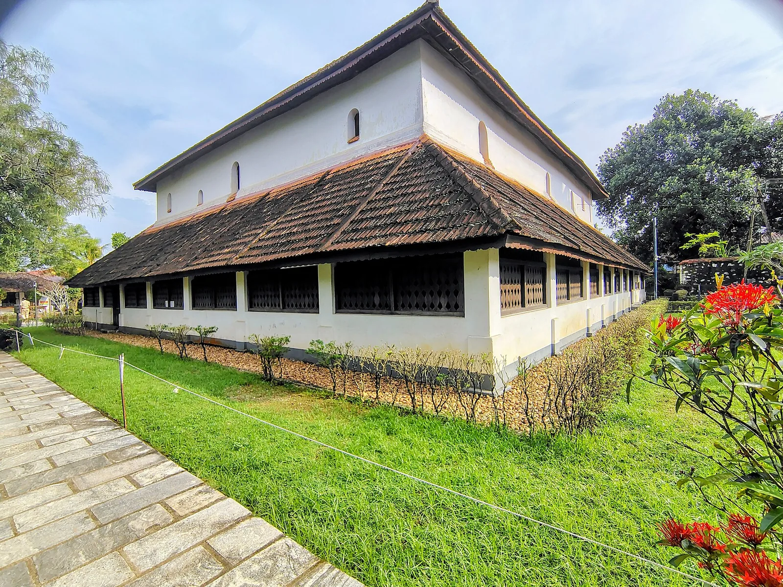
Koyikkal Palace at Nedumangad houses folklore and coin collections inside a traditional Kerala palace. Everyday objects, instruments and currency make this a more intimate museum stop than a grand royal gallery.
17.9 km · straight line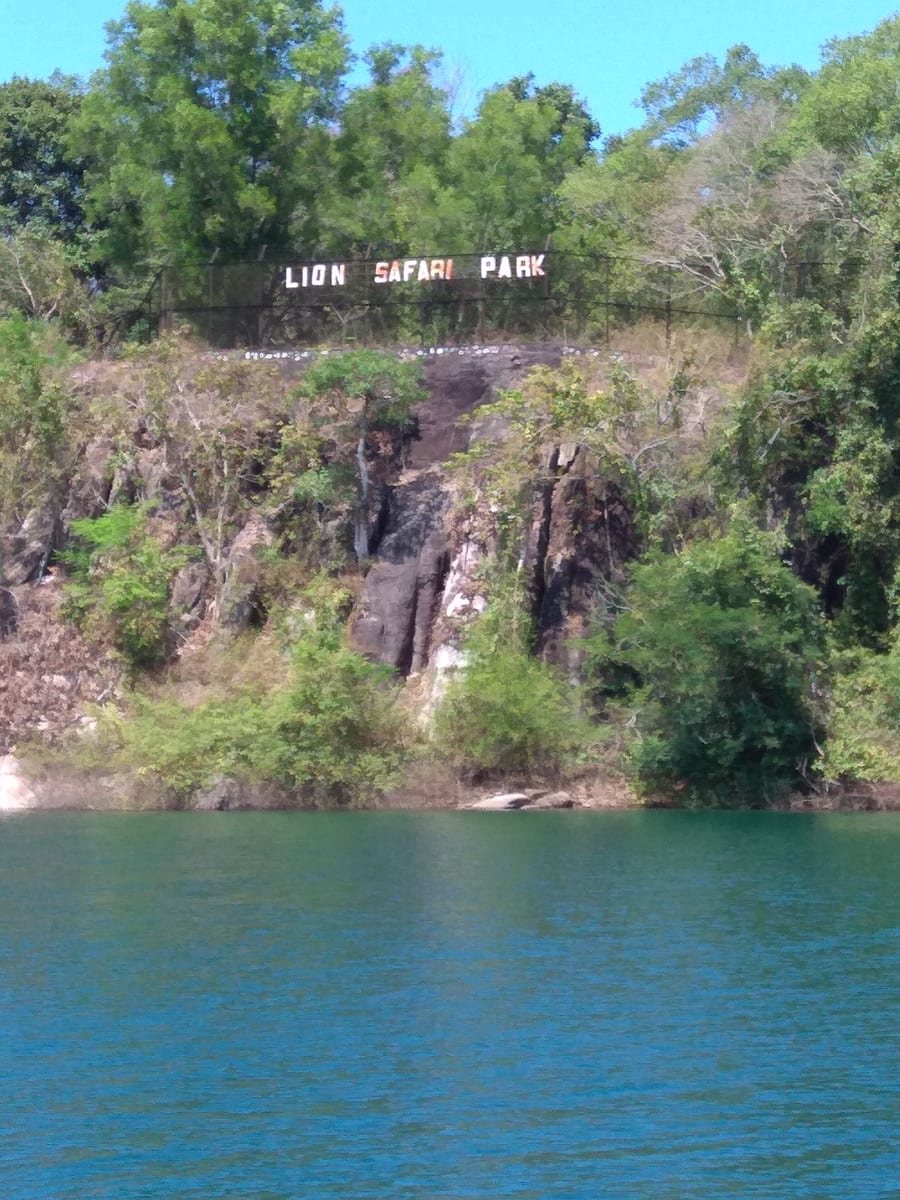
Neyyar Wildlife Sanctuary protects forest around the reservoir below Agasthyamala. A visit should centre on an authorised nature programme, with wildlife understood as habitat rather than a promised sighting.
18.7 km · straight line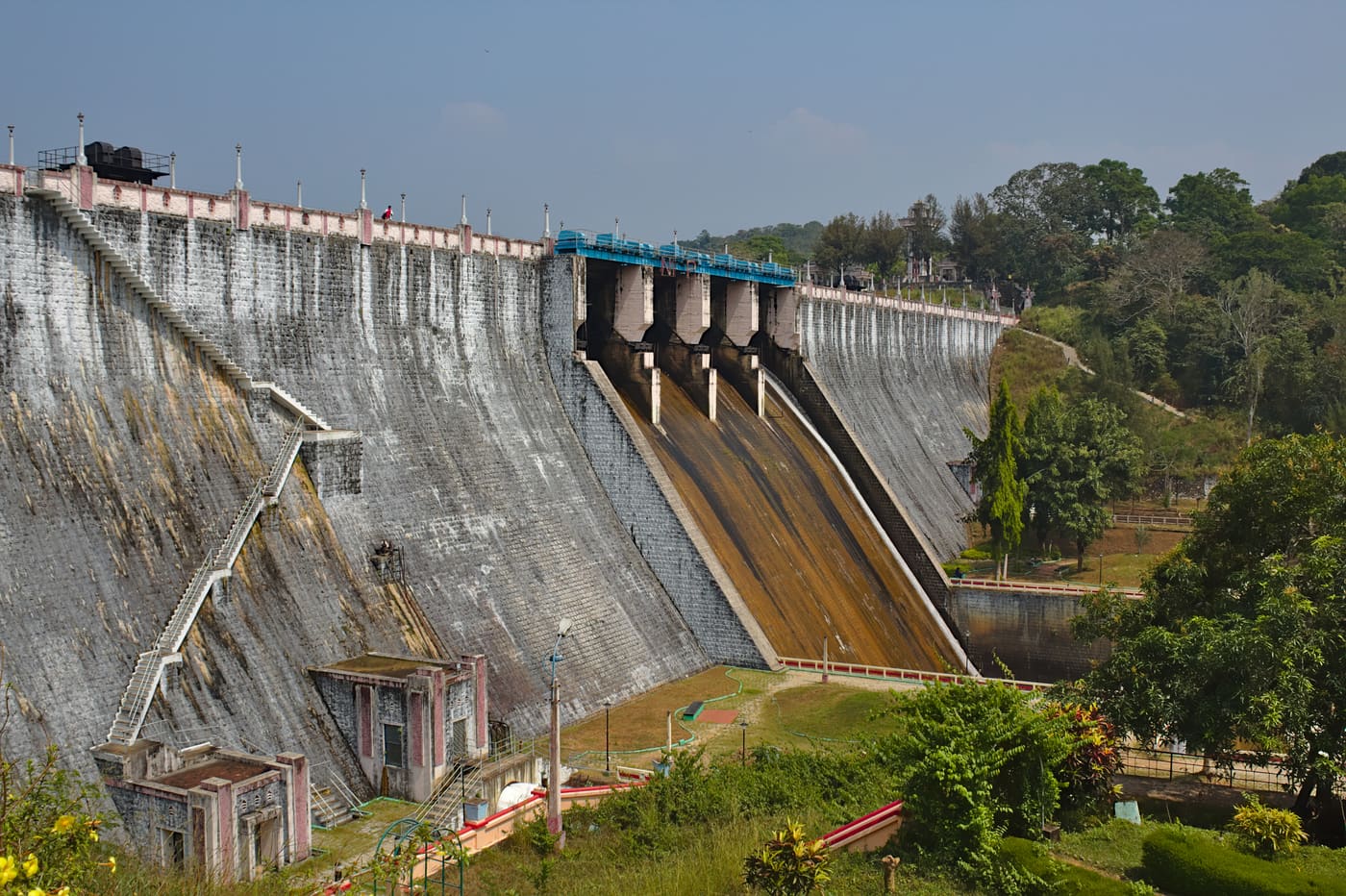
Guided forest trekking in the Neyyar Wildlife Sanctuary near the Agasthyamala foothills, south-east of Thiruvananthapuram.
19.7 km · straight lineNeyyar Dam opens onto a broad reservoir beneath the Agasthyamala foothills, inland from Thiruvananthapuram. Wooded hills frame the water, giving this outing a different pace from the city’s beaches.
19.7 km · straight line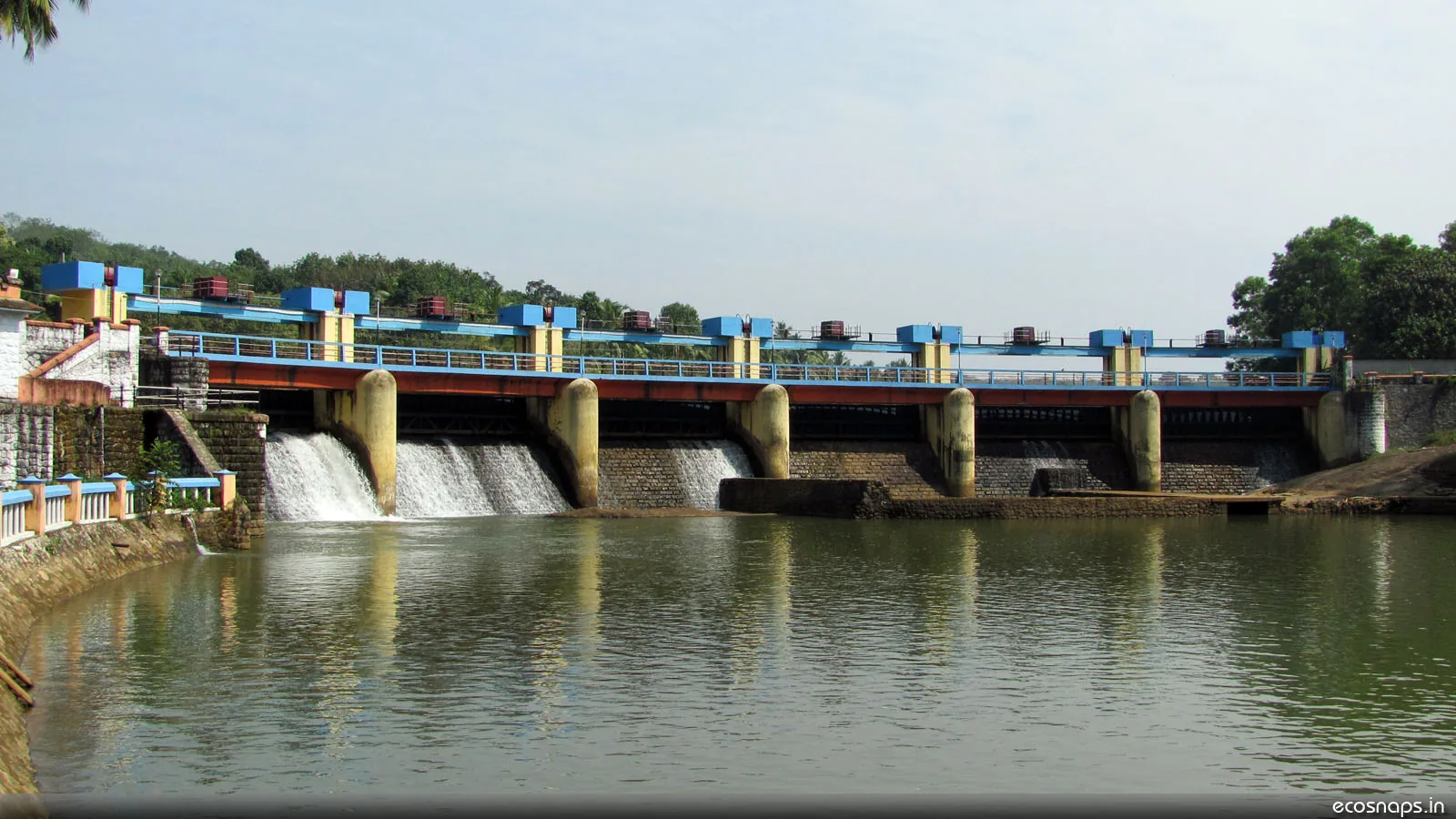
A reservoir, riverside temple and small park on the Karamana river north-east of the city, a popular local picnic spot.
20.3 km · straight line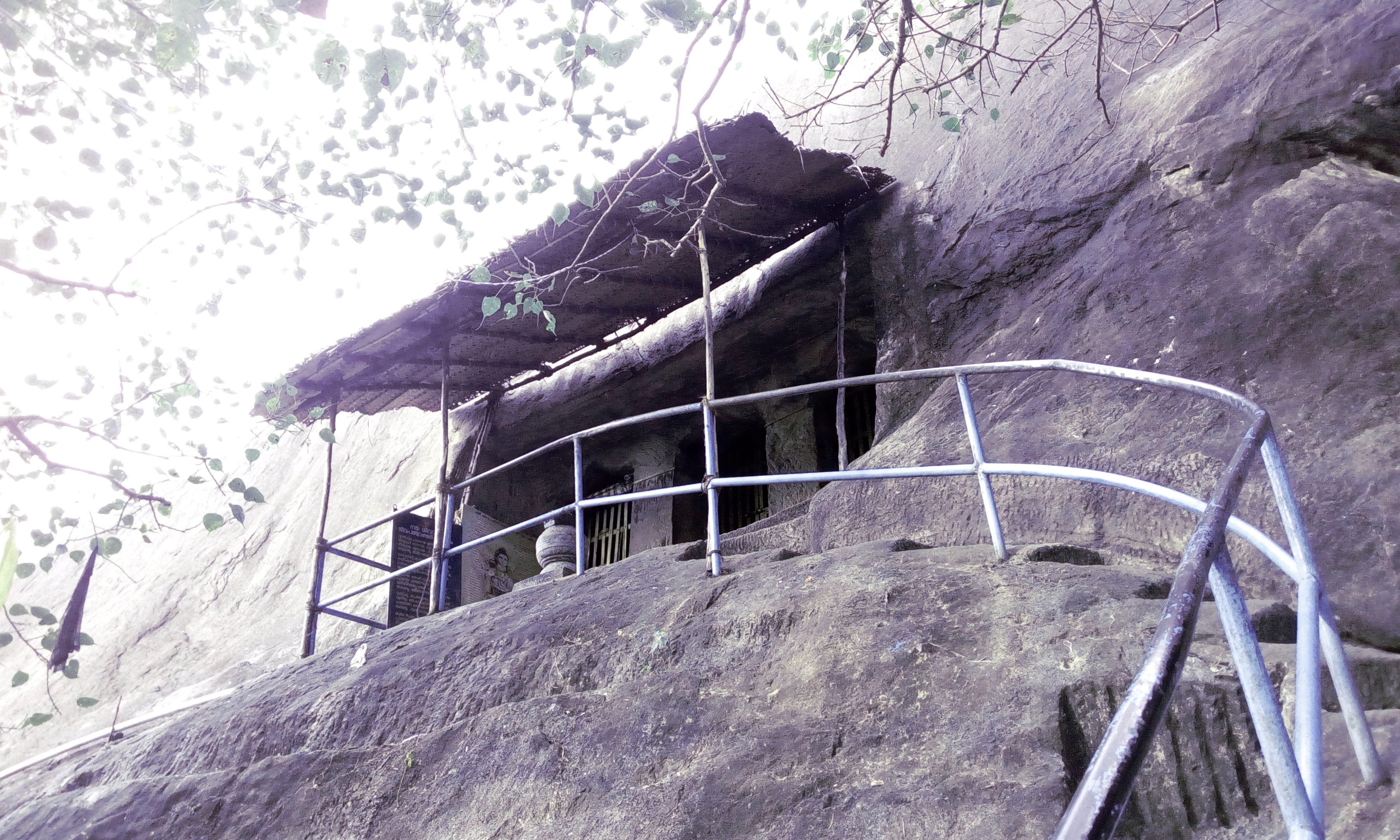
Madavoorpara combines a rock-cut Shiva shrine with a rocky hill landscape on Thiruvananthapuram’s northern edge. The temple and the climb offer different reasons to visit, and both deserve time.
27.8 km · straight lineRoad and walking figures are route estimates, with travel times dependent on access, traffic and conditions. Figures marked “straight line” show direct separation and do not describe a road or walking route. Fare estimates use Kerala’s 26 April 2022 auto/taxi notification and exclude waiting, night and applicable one-way surcharges. Confirm the current meter or operator quote before travelling. Routing: © openrouteservice.org by HeiGIT | Map data © OpenStreetMap contributors
Routes here run under Forest Department control from check-posts at Kallar and along the ghat road, and a guide is required on most of them. Fees and guide charges are collected at the check-post — carry cash. Which routes are running varies with season and weather, so confirm locally before you set out.
Moderate. Half a day to a full day depending on the route, on steep root-bound ground rather than technical terrain. Footwear with a proper grip matters more here than fitness does — wet rock and roots cause most of the injuries.
A shola is a patch of stunted, dense evergreen wood that survives in the sheltered folds and hollows of the high Western Ghats, surrounded by open grassland on the exposed slopes between. The mosaic they form is one of the most restricted habitats in India and is extremely slow to recover from fire or trampling. One caveat specific to Ponmudi: the system is normally described as a habitat from about 1,200 metres upwards, and this hill tops out near 1,100, so what you get here is a low-lying outlier of it confined to the last stretch of the climb — not something most of these trails pass through.
Often not, and it is worth knowing before you book. The riverside trail from Kallar and the Golden Valley approach stay in wet evergreen jungle several hundred metres below any open ground, and only the sustained climb towards the ridge gets near it — which is also the route most likely to be shut on a given day depending on season, weather and current forest rules. If the grassland is specifically what you have come for, the drive to the upper viewpoint is the reliable way to stand in it, and the walking here is better understood as rainforest walking. If you want both, walk the low ground in the morning and drive up afterwards.
Yes. Elephants use the lower catchment and their sign is common on the trails. This is the main reason a guide is required on most routes. Follow the guide's instructions immediately and without argument, and never separate from the group.
October to March. The trails are wet, slippery and often closed during the southwest monsoon, and leeches are heavy from roughly June to November — carry salt or repellent if you walk in that window.
Easily — the trailheads are on the same road. The usual shape of the day is to walk in the morning from Kallar and drive up to the viewpoint afterwards, though if the view is your priority the morning is when it is clearest, so you may want to reverse it.
The trailheads around Kallar are roughly 45 km from the city, while the summit and the upper viewpoint are usually given as 53 to 55 km. Both are correct and they are not in conflict: Kallar sits about ten kilometres of ghat road below the top, so the walking starts meaningfully closer to town than the view does. In practical terms that is most of an hour saved on a day when you only intend to walk, and it is the reason a morning trek from Kallar is a comfortable proposition from the capital in a way that the full drive up and back is not. Allow far longer than the distance suggests in either case — the ghat section is slow by design.
Birds and squirrels, mostly, and signs of everything else. Lower down is good for Malabar giant squirrel, hornbills and langurs, and a slow pace with a guide who knows the calls is worth more than any amount of luck. Elephants use the lower catchment and you will frequently see their sign — dung, pushed-over bamboo, prints in soft ground near water — without seeing the animals, which is the outcome everyone should be hoping for. This is the main reason a guide is required on most routes here, and the reason their instructions are not open to discussion. Leeches are the wildlife you are guaranteed between roughly June and November; carry salt.
Post-monsoon to late winter is usually best; avoid heavy-rain days and closed forest periods.
Entry: A nominal forest entry fee, and a guide charge where a guide is required, are collected at the check-post; carry cash. Timings: Daytime only, governed by Forest Department check-post timings — typically an early-morning start so walkers are back out well before dusk.
Base yourself in Ponmudi or a nearby town in Thiruvananthapuram, then confirm the last-mile route locally before leaving. Confirm permits, guide requirement and reporting point before travel; many Kerala treks are controlled by forest authorities. If the visit depends on forest, temple, boat, ferry, weather or seasonal access, check the official/local rule on the day before travel.
Half day to full day unless officially listed as multi-day.
Nearby you can pair Kallar Meenmutty Falls (2.2 km, route estimate), Ponmudi (12.3 km, route estimate), Ponmudi viewpoint (14.7 km, route estimate), Agasthyakoodam trek (16.6 km, approximate straight-line separation).
Use approved guides where required. Do not enter closed forest routes or trek in heavy rain.
Written about Ponmudi trek itself — its history, its legends and the arguments about them.
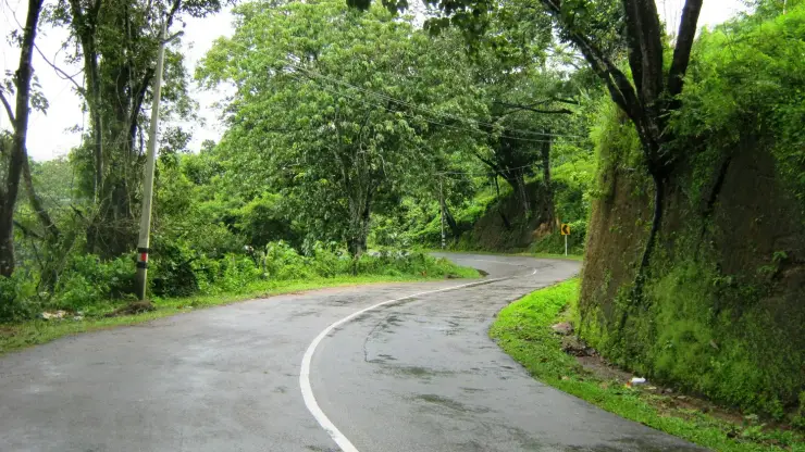
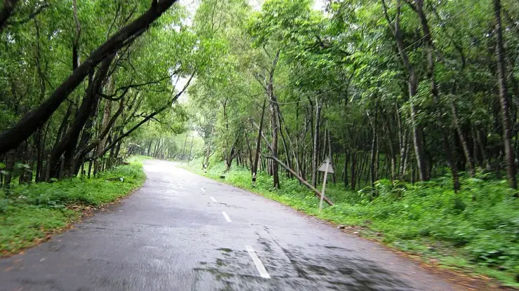
These guides explore Ponmudi and the surrounding area. Choose a visit that fits your interests, allowing separately for travel between stops.


Route-level itineraries and practical guides for the rest of Kerala.


Photographs: Arunelectra (CC BY-SA 3.0), Jaseem Hamza (CC BY 3.0), Shishirdasika (CC BY-SA 4.0). Wikimedia Commons.