What to expect
Highlights
- Open estuary and narrower mangrove channels.
- Views toward the beach and Arabian Sea.
- A short water journey rather than a houseboat itinerary.
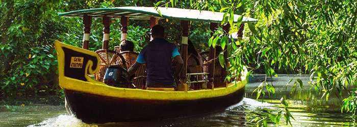
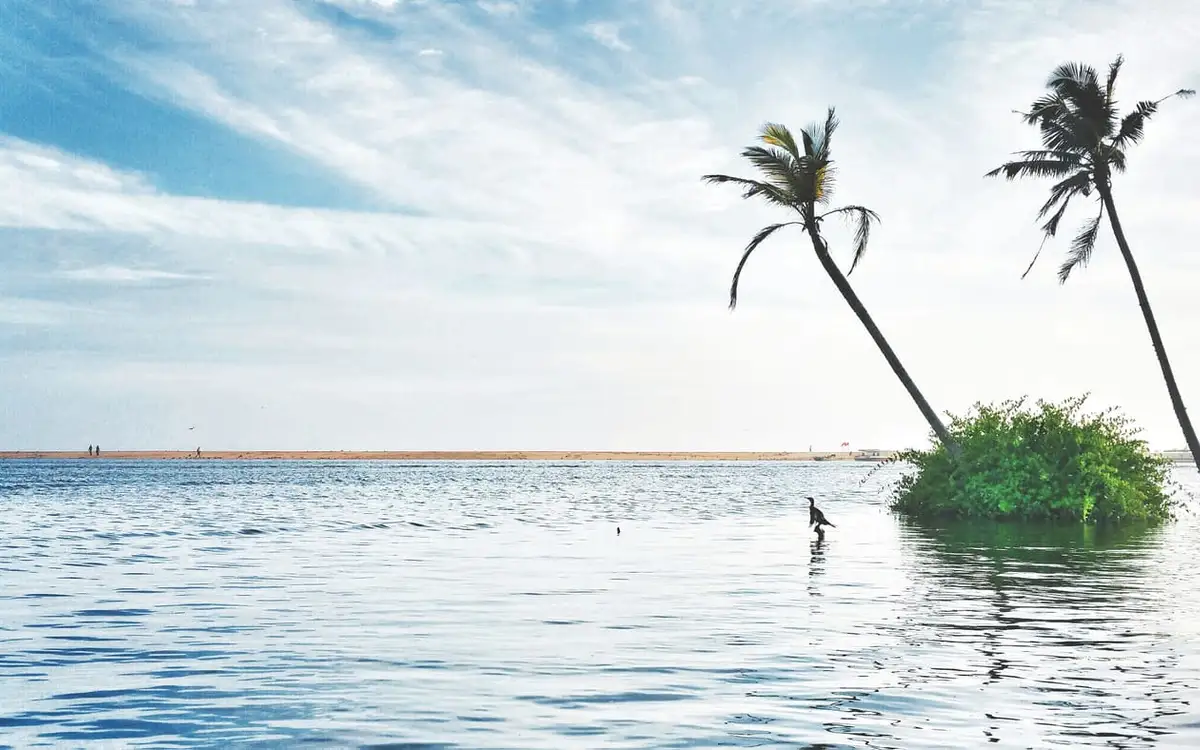
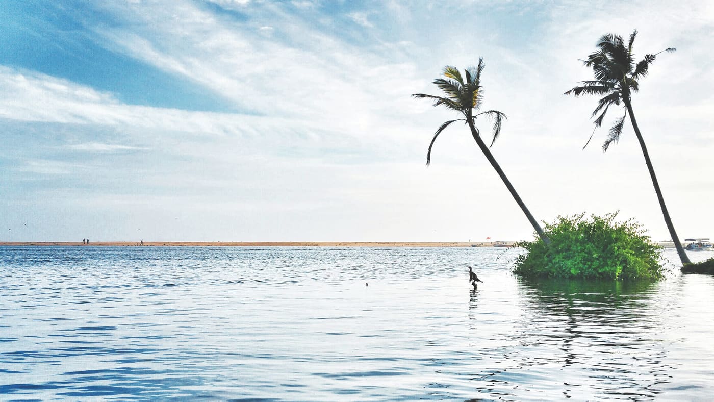
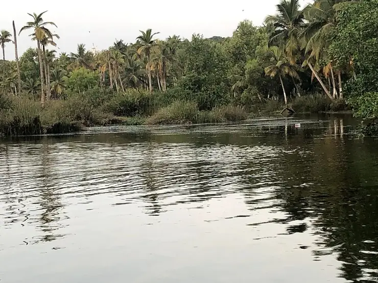
Poovar’s backwater routes follow the Neyyar estuary past mangrove and a sandbar backed by the Arabian Sea. A small-boat trip is the clearest way to see how river and coast fit together.
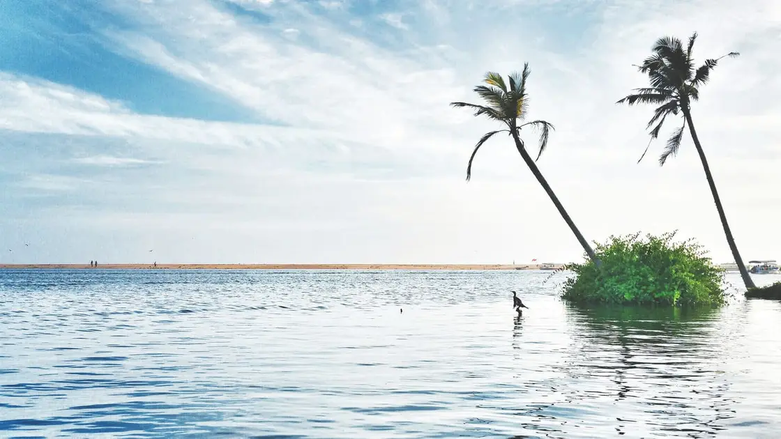
A Neyyar estuary boat trip through Poovar’s backwater and mangrove setting.
Choose the actual route, landing and return point with the operator.
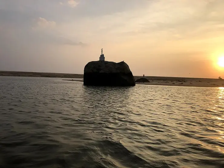
At Poovar, a boat crosses the Neyyar estuary between mangrove-lined water and the sand that separates it from the Arabian Sea.
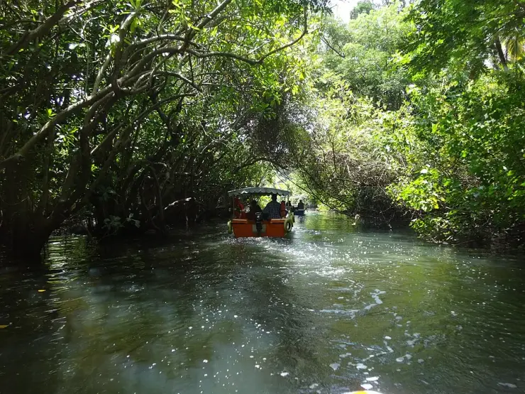
Kerala Tourism describes the Neyyar meeting the sea at Poovar, with backwaters and mangroves along the approach. The journey changes scale: open estuary gives way to narrower channels and then to a view toward the beach. The changing water, rather than a promised list of birds or a fixed cruise route, is the reason to go.
The boat route is a choice. Ask the operator which jetty it leaves from, whether it enters a mangrove creek or includes a beach landing, how long the ride lasts, and where it returns. A photograph of a sandbar does not tell you whether that landing is available on the day. Choose a boat with a suitable life jacket for each passenger and follow current weather and water restrictions.
The mangroves are more than a backdrop: their roots create habitat at the meeting of fresh and salt water. Keep clear of the roots and avoid treating a narrow creek as a speed run. A slower passage gives the place its character without promising wildlife sightings.
Kerala Tourism documents Poovar’s Neyyar estuary, mangroves and sea-facing sandbar. These connected water landscapes explain the boat outing; an exact origin for the village name is not established by the reviewed source.
See river, mangrove channels and the sea-facing sand in one short outing.
Choose a route and operator by actual access and safety arrangements rather than generic cruise photos.
Road km to Thiruvananthapuram; ghat roads and traffic vary — allow extra.
A dry morning or late afternoon, with boating dependent on wind and water conditions.
Live forecast loads in your browser.
Sunset is in about 1 hour.
Sun and moon are calculated for this location and shown in IST. Photography windows are the hour around sunrise and sunset; the sunset bearing is degrees clockwise from true north. Moon phase is accurate to about half a day.
These are official or public-sector eco offerings that match this place, town or forest destination. Confirm availability, permits, tariffs and reporting times with the official operator before travel.
Plan a permitted visit around Neyyar’s reservoir and protected forest. Ask the Forest Department about the reporting point and programme operating on your date; this card does not establish a current lion safari or boating service.
Official source →Browse listed stays, food, activities, sights, shops and rentals around Poovar backwaters. Check each listing’s locality and contact the business directly for current arrangements.
Poovar Boating arranges estuary and mangrove cruises. Agree the route, duration, passenger limit and total fare, and use a boat equipped with lifejackets.
Poovar’s backwater outing follows the Neyyar estuary towards mangroves and a sandbar. Choose a confirmed route and return arrangement; sheltered channels and open sea differ.
Poovar Backwater Cruise operates as Kingfisher Boat Club on Club Mahindra Road. Its site and linked social profiles agree on the jetty area and phone. Confirm route, duration, pickup, actual boat, safety gear, weather alternative and total fare. A recent social post is labelled AI content and does not verify the craft pictured there.
Noah Poovar Boating offers backwater trips in Poovar. Its website uses the Noah Backwater Cruise identity, links to the existing operator Facebook page and publishes the same telephone number as this listing.
Book with the place itself. India’s cyber-crime coordination centre warned in April 2025 that convincing copies of hotel and pilgrimage booking sites are being pushed through sponsored search and social ads, taking payment for rooms the property never hears about. Use the contact and source details on each profile to confirm the exact business and booking channel. A directory entry or map pin alone does not establish an operator’s identity or current availability. Roampedia takes no commission and does not collect booking payments. If a booking page reached you through an ad, check the address bar against the property’s own site before you pay. Fraud can be reported on cybercrime.gov.in or on 1930.
Find food, accommodation and activities across Poovar. Browse the guides for places to eat, stay and explore along your route.
Walking routes start at Poovar backwaters. Check the route and access before setting out, especially where a road, gate or waterway separates the stops.
4 more places around Poovar. Open a guide to plan the visit and onward journey.
7.0 km · 10 min drive
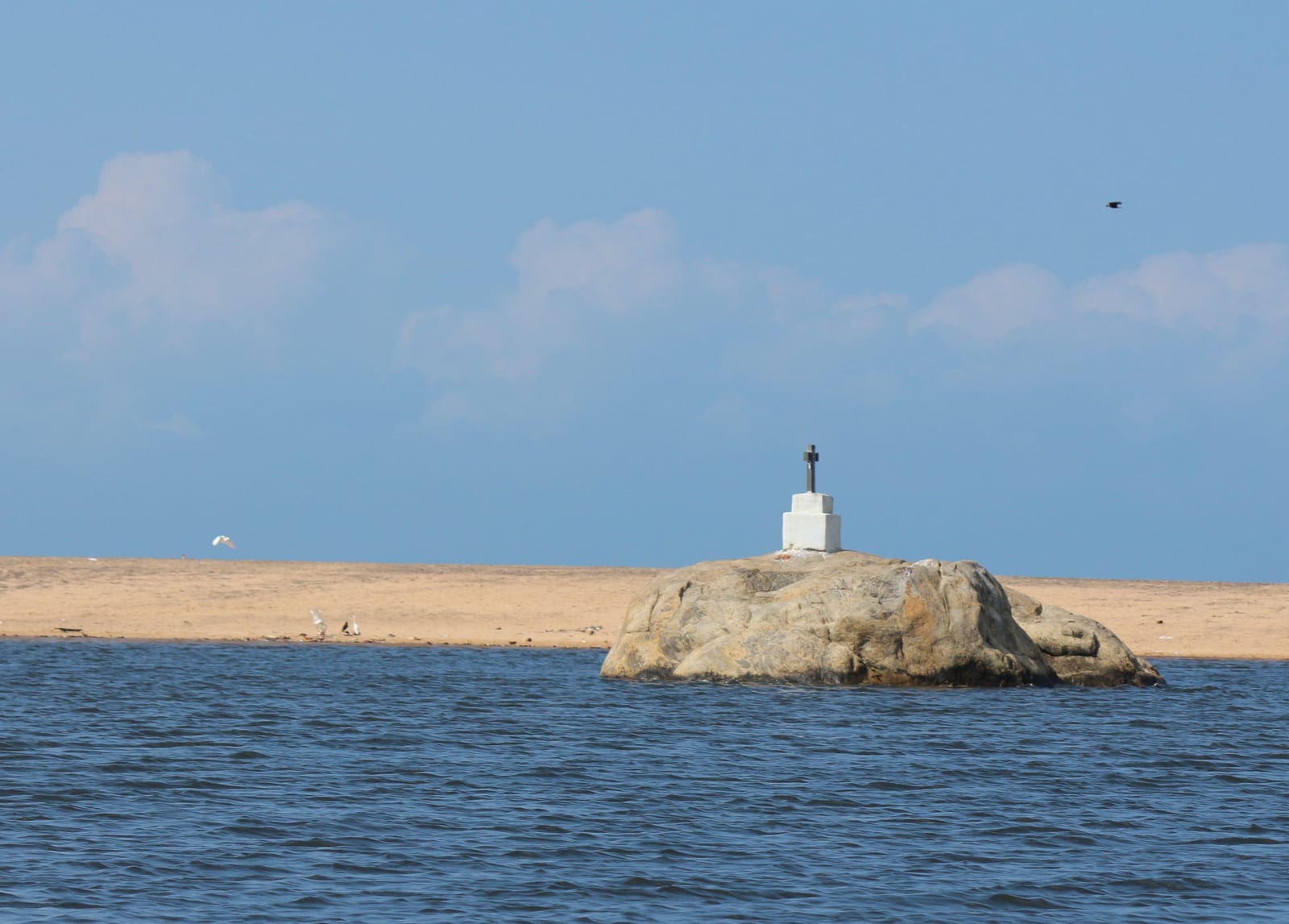
Poovar Beach is the sandbar at the Neyyar River mouth, with backwater behind it and the Arabian Sea beyond. Its appeal is the coastal setting, reached as part of an arranged boat outing.
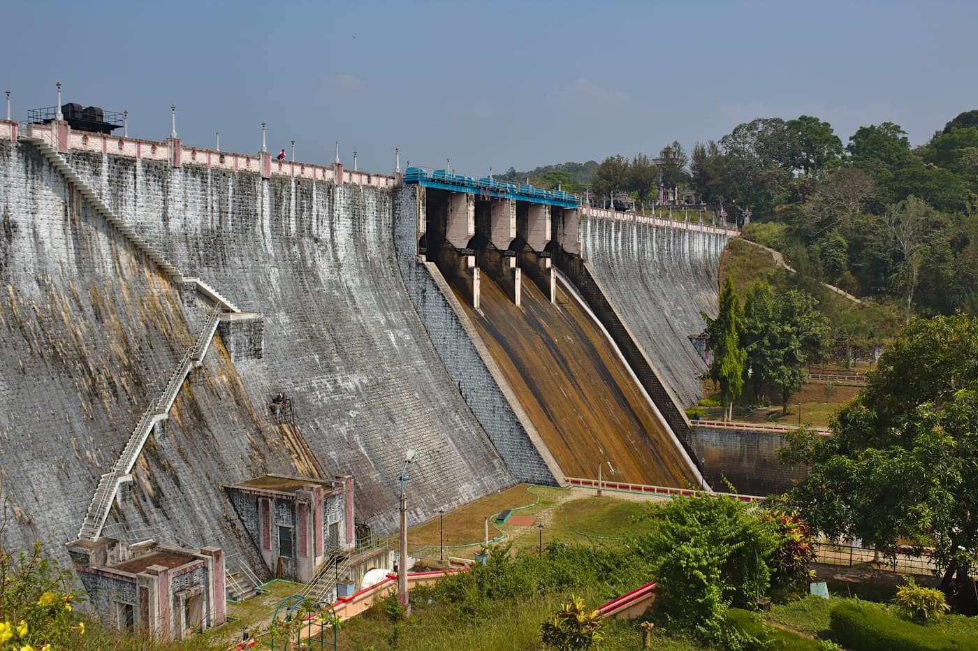
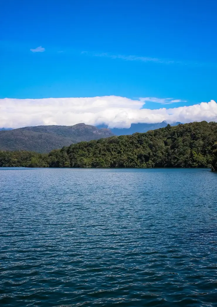
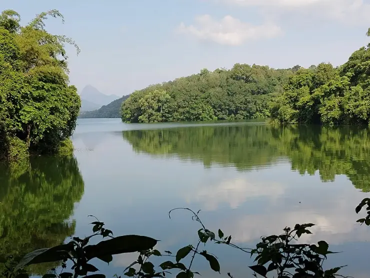
Neyyar Dam opens onto a broad reservoir beneath the Agasthyamala foothills, inland from Thiruvananthapuram. Wooded hills frame the water, giving this outing a different pace from the city’s beaches.
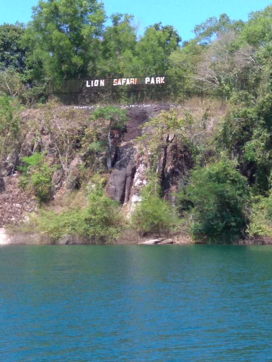
Neyyar Wildlife Sanctuary protects forest around the reservoir below Agasthyamala. A visit should centre on an authorised nature programme, with wildlife understood as habitat rather than a promised sighting.
Roampedia is commission-free — own or know a stay, eatery, guide or shop near Poovar backwaters? Submit public business details for review.
Add a nearby businessEntry: Agree the current boat route, price, duration and any landing charge before boarding.
Reach the current Poovar boarding point by road, then use a boat for the backwaters or beach approach.
If you are travelling by bus or ferry, check the return service with the operator before setting out. Leave time to reach the stop or jetty after your visit.
Ask at the bus stand for the time of the last service back, not the next one. If you miss it, an auto or app cab is the fallback — agree the fare before you get in.
If you need step-free access, contact the site before travelling. Ask about a level entrance, steps along the route, the nearest drop-off point, seating and accessible toilets.
These services are listed within about 1.2 km of Poovar backwaters. Walking distances follow mapped routes; access and opening hours can change. Other services may be closer but are not included here.
Published emergency and visitor-assistance contacts. For an immediate emergency, call 112. Shared Kerala contact sources checked 4 October 2026; publication does not establish a tested live response.
Poovar Beach is the sandbar at the Neyyar River mouth, with backwater behind it and the Arabian Sea beyond. Its appeal is the coastal setting, reached as part of an arranged boat outing.
7.0 km · 10 min drive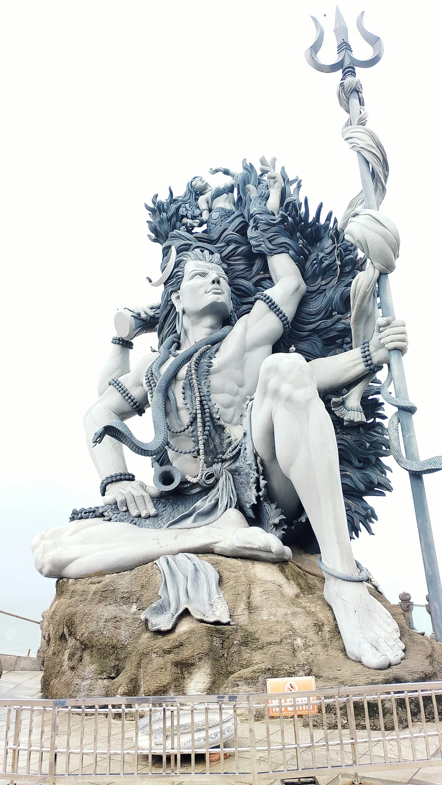
A clifftop seaside temple at Adimalathura near Vizhinjam, known for a giant Gangadhareswara (Shiva) sculpture.
8.5 km · straight line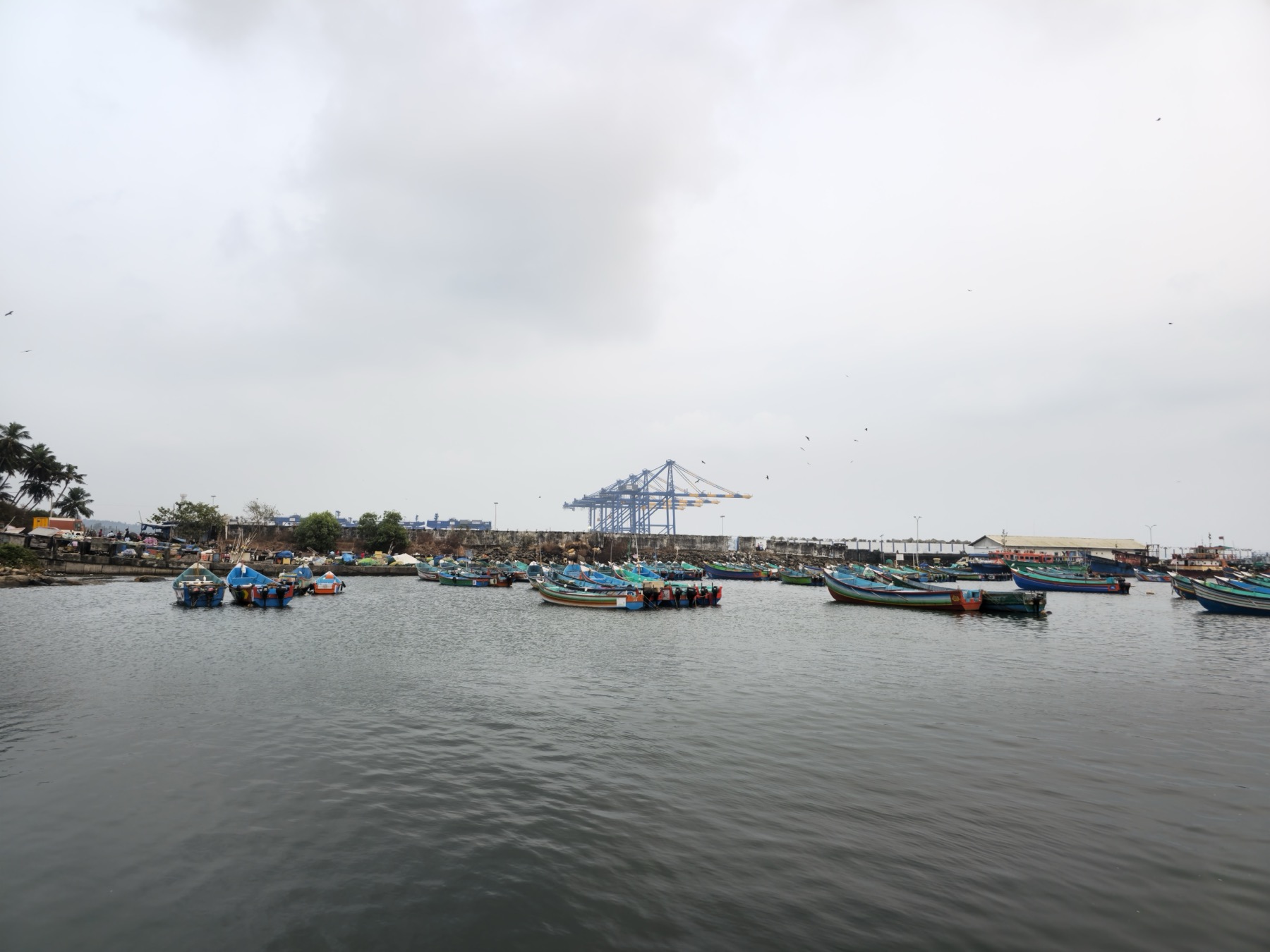
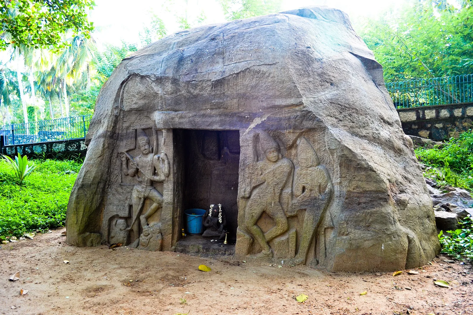
A small rock-cut shrine at Vizhinjam offers a close encounter with early carving near Kovalam’s coast. It is a compact archaeological stop, with the interest in the stonework rather than a long cave walk.
12.0 km · straight line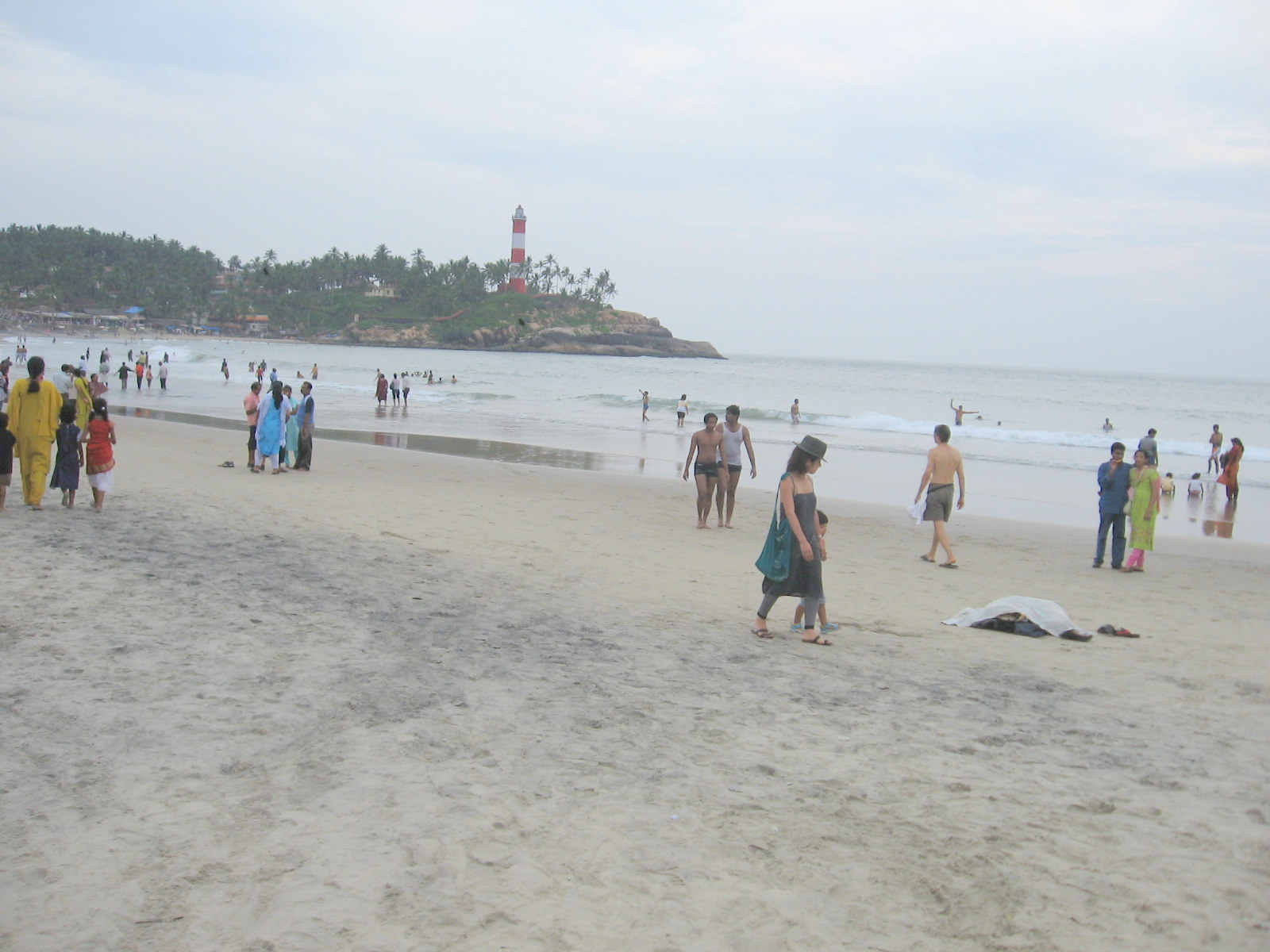
Kovalam’s southern cove brings the striped Vizhinjam lighthouse, a busy promenade and a long seaside evening into one view. Lighthouse Beach suits visitors who want cafés and coastal scenery close together.
13.3 km · straight line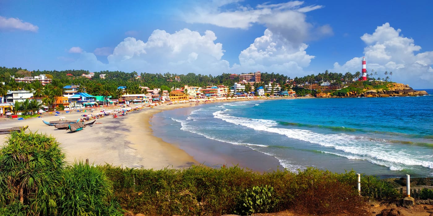
Kerala’s classic beach resort area, known for Lighthouse Beach, Hawa Beach and sunset viewpoints.
13.6 km · straight line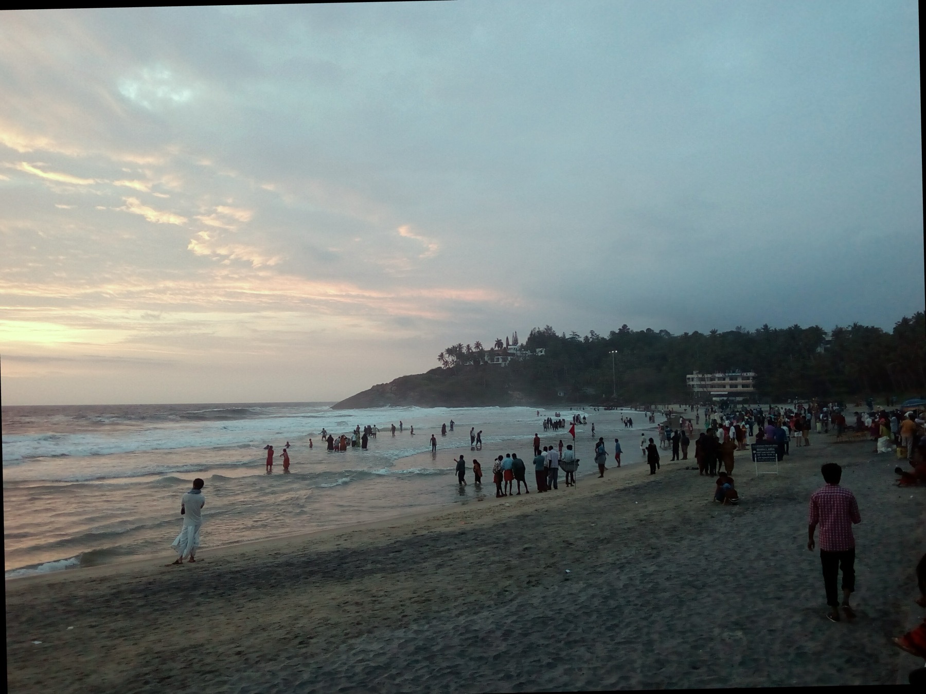
Hawa, also called Eve’s Beach, is Kovalam’s middle cove. Its short sweep of sand and fishing activity offer a different atmosphere from the longer promenade at Lighthouse Beach.
13.8 km · straight line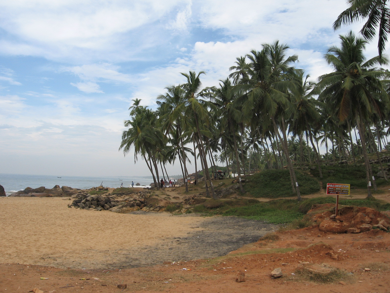
Samudra is the northern Kovalam shore, separated from the busier coves by rocky headlands. Choose it for a quieter sea view and a slower coastal walk.
14.5 km · straight line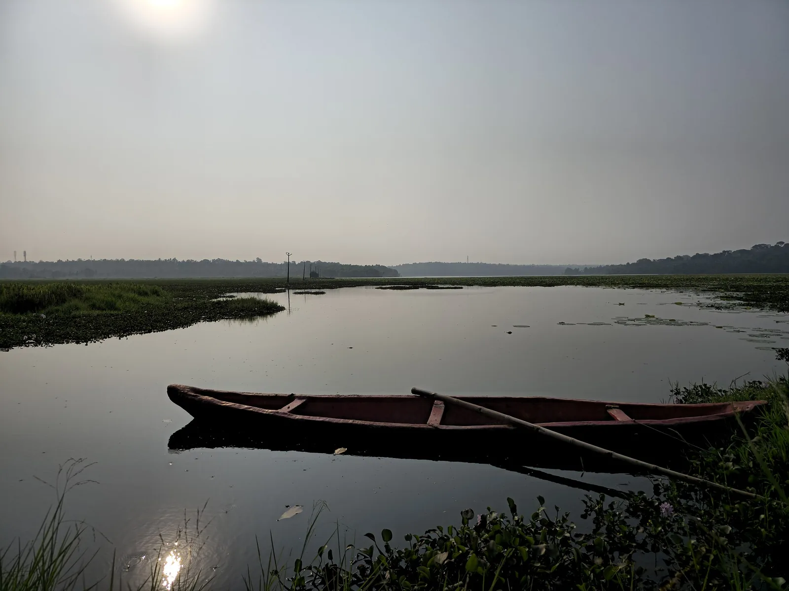
A freshwater lake in Thiruvananthapuram district, with the Punchakari–Vellayani wetlands nearby offering seasonal birdwatching.
15.9 km · straight line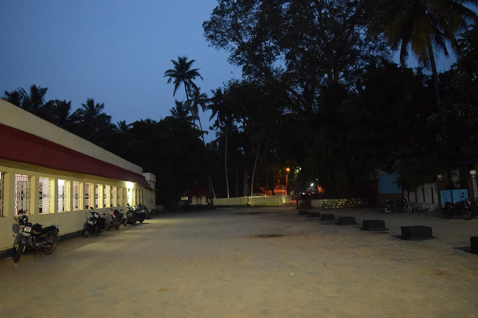
An ancient temple on the Karamana river, the district’s main site for ancestral (bali) rituals and rare for its Parasurama deity.
19.3 km · straight line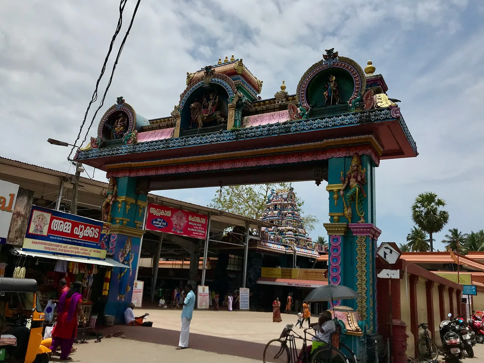
Famous Devi temple in the city, home of the Attukal Pongala — recorded as the largest annual gathering of women.
21.8 km · straight lineRoad and walking figures are route estimates, with travel times dependent on access, traffic and conditions. Figures marked “straight line” show direct separation and do not describe a road or walking route. Fare estimates use Kerala’s 26 April 2022 auto/taxi notification and exclude waiting, night and applicable one-way surcharges. Confirm the current meter or operator quote before travelling. Routing: © openrouteservice.org by HeiGIT | Map data © OpenStreetMap contributors
Nearby toilets, pharmacies, ATMs, seating and vets are community-mapped and may be incomplete or out of date. Map data © OpenStreetMap contributors | Walking times © openrouteservice.org by HeiGIT
No fixed route is established here. Agree the actual route, duration and landing arrangement with the operator before boarding.
A travel page cannot assess currents or channel changes on the day. Do not enter the estuary mouth; follow local restrictions and staff advice.
A dry morning or late afternoon, with boating dependent on wind and water conditions.
Entry: Agree the current boat route, price, duration and any landing charge before boarding. Timings: Boat and landing access depend on current operator and weather conditions; confirm before travel.
Confirm the current boarding jetty and route. Ask about suitable life jackets, duration and any beach landing. Follow weather and water restrictions.
Allow 1–2 hours for a chosen cruise, plus transfers and any agreed stop.
Nearby you can pair Poovar (810 m, route estimate), Poovar beach (7.0 km, route estimate), Aazhimala Shiva Temple (8.5 km, approximate straight-line separation), Vizhinjam (11.9 km, approximate straight-line separation).
Stay out of the river mouth. Do not board an overloaded boat or travel without a suitable life jacket.
Written about Poovar backwaters itself — its history, its legends and the arguments about them.
These guides explore Poovar and the surrounding area. Choose a visit that fits your interests, allowing separately for travel between stops.

Route-level itineraries and practical guides for the rest of Kerala.


Photographs: Midhun Subhash (CC0), Gausanchennai (CC BY-SA 4.0), Maskaravivek (CC BY-SA 3.0), Maskaravivek (CC BY-SA 3.0), DrGSINGH (CC BY-SA 4.0).