What to expect
Highlights
- Heritage experience at Chalakkudy railway station
- Architecture, local stories and old trade/cultural routes
- Good fit for guided walks and nearby cafes/shops
Chalakudi station, code CKI, on the Shoranur–Cochin Harbour section — the railhead the Cochin State Forest Tramway was extended to reach, and the transfer point for Athirappilly. About 1.4 km west of the highway, which catches most visitors out.
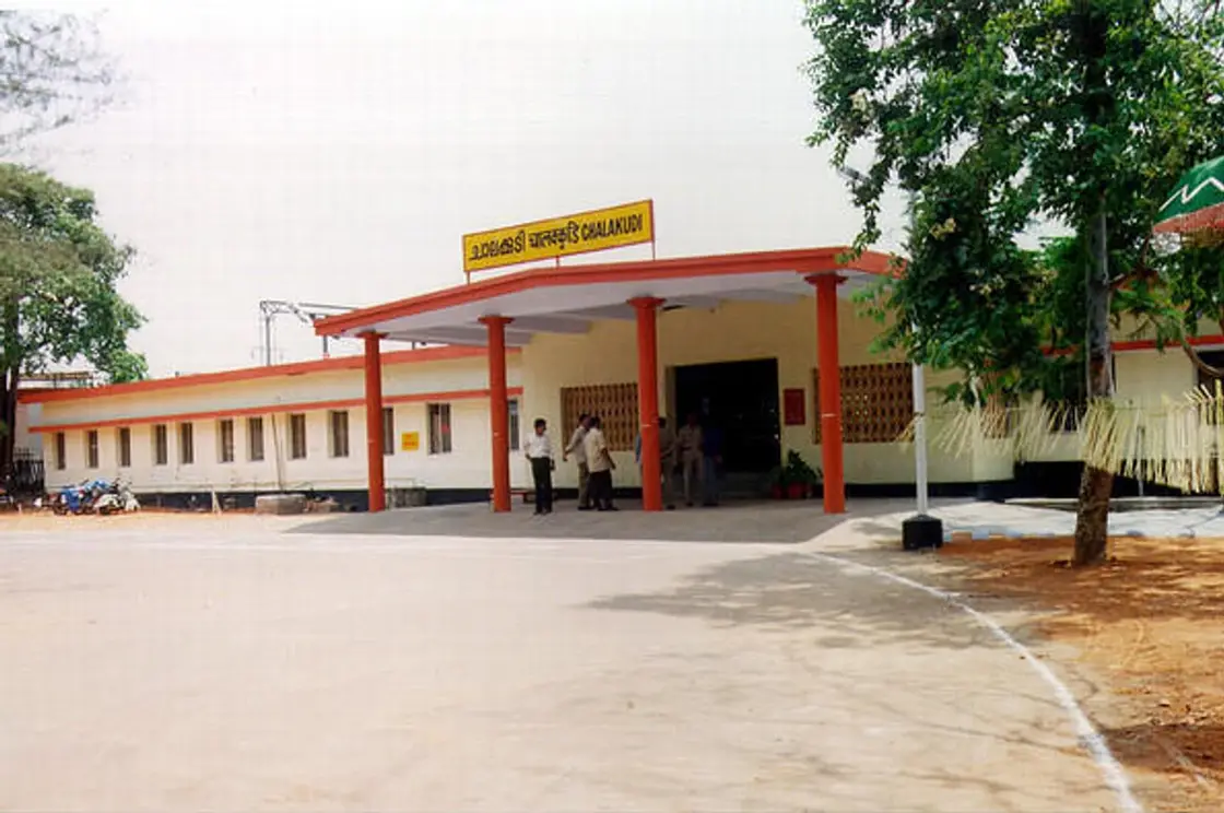
Chalakkudy railway station sits on Mala Road at Thachudaparambu, in postal area 680307, roughly a kilometre and a half west of the built-up centre of the town it serves. That short gap is the single most useful thing to know about it, because almost everything a visitor comes here for lies in the opposite direction: the highway is about 1.4 km east, the private bus stand about 1.6 km east, and the Athirappilly road begins about 1.9 km north-east. The station is also older than almost anything else in the town. Rail traffic reached Chalakkudy in 1902, on a line the Kingdom of Cochin paid for out of its own treasury after four decades of correspondence with the British Resident, and for the next sixty-eight years the railway bridge over the Chalakudy river carried the road traffic too. This page is about the station as a junction between two systems rather than as a building.
Start with the geography, because it is the part people get wrong. Chalakkudy railway station stands at 10.30239 N, 76.32156 E, with Mala Road about 120 metres from the forecourt. The nearest stretch of National Highway 544 is about 1.4 km east, the private bus stand about 1.6 km east, and the western end of State Highway 21 — the Chalakudy–Athirapally–Anamala road — about 1.9 km north-east. It is a real transfer in the wrong direction: you arrive on the west side of town and the waterfall route begins to the east. Build twenty minutes into the plan.
The second thing worth knowing is that the station is not where the town would have put it if the town had been asked. The alignment was laid by the Madras Railway company on behalf of the Cochin state in 1899, running north to south along the low ground west of the settlement, and the station went where the line went. The main road through the town — today’s Market Road — did not exist in its present form until about 1915 to 1920, more than a decade after the trains. In other words the built-up strip grew towards the railway rather than the railway being dropped into an existing street pattern, and the awkward western position is a fossil of that sequence.
For sixty-eight years the railway did double duty. Malayalam sources record that the railway bridge over the Chalakudy river, begun in the 1890s and finished in time for the 1902 opening, carried road vehicles as well as trains in its early decades, and that this arrangement continued until 1970, when the separate Chalakudy road bridge was completed and ordinary surface traffic moved off the rails for good. Before that, vehicles coming down the new main road crossed south over the railway overbridge. It is worth pausing on: for most of the twentieth century the single fixed crossing of the river at this town belonged to the Railway, and the road borrowed it.
The station was already five years old when the thing that made it commercially interesting arrived. The Cochin State Forest Tramway began operating in 1907 and ran metre-gauge cable-worked track down from the Parambikulam forests to this town, where its workshop and timber yard stood. The tramway did not exist to serve Chalakkudy; it existed to reach the railway, and the railway was here. That is the whole logic of the place. Teak and rosewood came down the hill on the tram, were transferred here, and went on by rail to the coast — and the section this station sits on is named for where that traffic was going. The alignment is documented in detail on our Chalakkudy town record; what belongs to the station is the transfer itself.
The scale of what the tramway delivered here was not small. English-language sources give the system three sections totalling 49.5 miles, about 79.5 km: Chalakudy to Anapantham, 21 miles; Kavalai to Pothupara, six miles; and Komalapara to Chinnar, 22.5 miles. Two locomotives worked the trucks and saloons. The locomotives, rolling stock and machinery came from Orenstein & Koppel of Germany, and the bridges and culverts from P&W MacLennan of the United Kingdom. The Maharaja of Cochin passed the Cochin Forest Tramway Act on 26 June 1907 to provide for the line’s protection and management, which is a fair indication of how much was riding on it. K. R. Menon is recorded as the last tramway engineer.
Where you stand today, that is all invisible. The forecourt is a plain open apron off Mala Road, and the tram alignment survives a little over a kilometre away as a named road — Tramway Road, classed as a major district road — running into the town rather than out of the station. What connects them on the ground is nothing much at all. The two systems met at the town, not at a single physical interchange platform you can point at, and any account that promises you a visible junction is overpromising.
The classification of the station is a small mess and it is better to print the mess than to tidy it. English Wikipedia describes Chalakudi as an NSG–5 category station and, in the same paragraph, as an “A” class station under the Thiruvananthapuram division, and as the first station in Thrissur district to be declared an Adarsh station. The NSG and the older alphabetical schemes are different systems and the two labels are not straightforwardly compatible; both are set down here because both are what the source says. The neighbouring-station relationships are less ambiguous: Irinjalakuda to the north and Divine Nagar to the south.
Those two neighbours are worth a sentence each, because this stretch of line is unusually full of stations that are not where their names suggest. Irinjalakuda station, code IJK, actually stands in Kallettumkara village, about 8 km from Irinjalakuda town. Divine Nagar, code DINR, is an HG–1 class halt that exists because the Divine Retreat Centre stands next to it, and it is served by a couple of passenger pairs, a couple of MEMU pairs, and one express that stops on Fridays, Saturdays and Sundays for pilgrims. If you are booking by place name rather than by station code on this section, check twice.
The far end of the section has quietly stopped existing, which changes how you should read the name. Cochin Harbour Terminus, the station this line is named for, has been out of regular use since services from Ernakulam Junction ceased in 2013; it is locked, and sees an occasional tourist working such as the Golden Chariot in 2022. The corridor is still universally called the Shoranur–Cochin Harbour section. So the line through Chalakkudy is named after a terminus that no longer takes scheduled trains — and the port that terminus served was built, in part, with the earnings of the tramway whose timber passed through this station.
This is a page where the honest report is an absence, and the reason for it is unusually clear. A railway station laid out by a contracting company in 1899 and opened to traffic in 1902 is a modern built institution on ground that carried no shrine, no grove and no tank. Folklore does not attach itself to a surveyed alignment within a century or so, and none has attached itself here. We looked anyway, and we will say exactly where we looked before we say what we did not find.
The searches were these. On Malayalam Wikipedia: the station’s own article, ചാലക്കുടി തീവണ്ടിനിലയം, which is a short stub carrying the code, the section, the operating zone and the district ranking, and no legend of any kind; the full town article ചാലക്കുടി, read end to end; and the dedicated tramway article ട്രാം പാത (ചാലക്കുടി). Full-text Malayalam searches were run for ചാലക്കുടി ട്രാം ഐതിഹ്യം and for തീവണ്ടിനിലയം ഐതിഹ്യം; the second returned Vazhappally and Changanassery, which are other people’s temples and not this. On English Wikipedia: the station, the Shoranur–Cochin Harbour section, the Cochin State Forest Tramway and Cochin Harbour Terminus. On Wikimedia Commons and Openverse: every spelling variant of the name. Nothing legendary surfaced in any of them.
That is a different kind of blank from the ones we usually report, and the distinction matters. At an old kavu, a river bathing ghat or a market that predates the records, an absence of lore almost always means our search has failed, and we say so. Here the absence is structural. This particular acre was paddy edge and low ground on the west side of a town whose sacred geography sits elsewhere, and it became significant only when a company laid rails across it for reasons that were entirely commercial and are entirely documented.
We are refusing several stories by name. The four competing derivations of the name Chalakkudy — including the Buddhist reading, which is the one that changes the picture — are real, contested and interesting, and they belong to the town, are told on the town record, and are not the station’s to borrow. The two famous shrine legends that circle this town, at Vadama and at Koratty, have already been refused by name on that same record and will not be quietly re-annexed here. And we are refusing one that is specific to the railway: the Divine Retreat Centre at Muringoor, one stop south, is a large modern devotional institution with a station effectively built for its pilgrims, and its claims are its own. A halt that serves a retreat centre does not thereby acquire the retreat centre’s sanctity.
What stands in the space is a documented story that reads like a legend and is not one. To pay for this line the Kingdom of Cochin was told it would have to bear the entire cost, and the treasury was not equal to it. Rama Varma XV, the Maharaja remembered as Rajarshi, sold fourteen gold elephant caparisons belonging to the Sree Poornathrayesa temple, along with personal ornaments of the Cochin royal family, and the treasury records substantiate the sale. Gold taken off temple elephants and turned into rails is precisely the sort of thing folklore invents. In this case somebody wrote it down, and it is history rather than myth, which is why it is labelled as history here and not dressed up as anything else.
The second thing that gets told as a marvel and is not one is the tramway’s gravity working. The line was built with self-acting inclines: a loaded wagon descending hauled an empty one up on the other end of a rope, and no fuel was burned in the process. Malayalam sources describe it as the first tramway in India of that length worked by a self-acting incline. Repeated often enough this becomes a story about a train that ran on nothing, which is how it is usually retold locally. It ran on the weight of the timber and the slope of the hill, and the counterweight principle was well understood by the engineers who chose it. The marvel is real; the mystery is not.
There is a third image worth correcting while we are here, because it is the one most people carry away. The best-known photographs of this system, published in Scientific American on 26 February 1910, show elephants and steam locomotives working the same felled logs on the same hillside. The scene is routinely read as picturesque. It was an industrial extraction operation, run by a colonial forest department that had already declared teak, rosewood and irul to be royal trees, and its purpose was to move fifty thousand hectares of previously inaccessible forest out of the hills and onto ships. The elephants in that picture are plant.
So that is the honest shape of this place’s mythology. No deity, no founding legend, no story attached to the ground before the rails. A forty-year correspondence with a Resident, fourteen gold caparisons, a bridge the road borrowed for sixty-eight years, and a terminus at the far end of the line that is now locked. Those are not myths, and this page does not pretend they are.
The origin of the line is a negotiation rather than a construction project. Records in the Cochin archives show that Rama Varma XV, Maharaja of Cochin from 1895 to 1914, carried on a prolonged and detailed correspondence with the British Resident from 1862 onward about establishing a railway from Shoranur Junction to Cochin Harbour. The eventual answer was that the state would have to fund the whole thing itself. It was during the diwanship of P. Rajagopalachari, from 1896 to 1901, that the line was completed.
Money was raised by selling gold: fourteen elephant caparisons belonging to the Sree Poornathrayesa temple, and personal ornaments of the royal family. A second obstacle then appeared. About 18 miles, roughly 29 km, of the alignment between Angamaly and Edappally lay inside Travancore territory, and in October 1899 Travancore was formally asked to hand over the land. Construction began in 1899, carried out by the Madras Railway company on behalf of the Cochin state, and was delayed by the bridges the route needed across several rivers — one of them the Chalakudy.
The line opened twice. It was opened to goods traffic on 2 June 1902 and to passenger traffic on 16 July 1902, six weeks apart, which is a normal sequence for a route whose commercial case was freight. Malayalam sources put the arrival of rail traffic at Chalakkudy in 1902 and note that the railway bridge here, begun in the 1890s, was finished at the same moment. The original line was metre gauge, about 62 miles or 100 km long, and it ended at the Ernakulam Terminus behind the present High Court, where a circular track was laid so the engine could turn.
Ownership and gauge both changed later. The line was the property of the Cochin government and was worked by the South Indian Railway Company after the Madras Guaranteed Railway contract expired on 31 December 1907. The conversion from metre gauge to 5 ft 6 in broad gauge was carried out as part of the development of Cochin Port; sources date the completion to 24 October 1935 and also describe the work as spanning 1930 to 1935, under the diwanship of C. G. Herbert. The extension onto Willingdon Island and the building of the Venduruthy bridge belong to that same programme.
After independence the route went first to the Palakkad railway division, formed on 31 August 1956, and then on 2 October 1979 to the newly created Thiruvananthapuram division, where it remains. Doubling of the Shoranur–Ernakulam stretch was completed in 1986 and electrification in 1996. The forest tramway that fed this station closed in the same era, though the sources disagree about exactly when — the disagreement is set out on the town record and is not re-argued here, except to note that Malayalam Wikipedia’s dedicated tramway article gives a decommissioning date of 24 April 1951, which is a third date again.
It is the practical way into the Athirappilly and Vazhachal waterfall belt without driving from Kochi.
The line it stands on was paid for by a Maharaja who sold fourteen gold temple-elephant caparisons to fund it.
Its bridge over the Chalakudy river carried the town’s road traffic as well as its trains until 1970.
It is the reason the Cochin State Forest Tramway was extended twenty-four kilometres to reach this town.
Cochin International Airport is 19 km away, which makes this a genuine rail-to-air interchange rather than a branch halt.
It is the second-largest station in Thrissur district and the first there to be declared an Adarsh station.
Road km to Thrissur; ghat roads and traffic vary — allow extra.
November to February and early mornings are best for walking; avoid midday heat where possible.
Live forecast loads in your browser.
Sun and moon are calculated for this location and shown in IST. Photography windows are the hour around sunrise and sunset; the sunset bearing is degrees clockwise from true north. Moon phase is accurate to about half a day.
Verified hotels, homestays, restaurants, experiences, sights, shops and rentals around Chalakkudy railway station — commission-free, with direct contact. Filter by what you need.
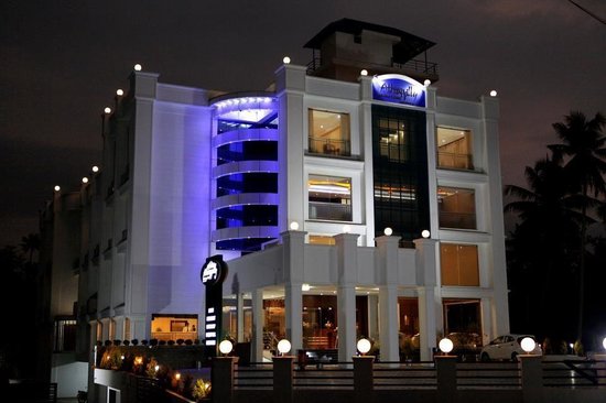
Athirappilly Residency stay record at Chalakkudy for waterfall-route overnights. Chalakudy, Thrissur district, Kerala · Athirappilly, Chalakudy route hotel, chalakkudy.
Athirapilly Green Trees Chalakudy is an Athirappilly-route resort at Pillappara/Vettilappara on Athirapally Road. Direct and Kerala Tourism sources list phone and email contacts, making it a stronger record than an OTA-only stay entry. Athirapilly, Athirappilly route resort, chalakkudy.
Hydel Palace Hotel and Resorts at Vettilappara near the Chalakudy/Athirappilly route. Hydel, Chalakudy hotel, chalakkudy.
Book with the place itself. India’s cyber-crime coordination centre warned in April 2025 that convincing copies of hotel and pilgrimage booking sites are being pushed through sponsored search and social ads, taking payment for rooms the property never hears about. Every listing here links to the business’s own contact details and its own Google or Bing profile — we take no commission and sit in nobody’s payment path. If a booking page reached you through an ad, check the address bar against the property’s own site before you pay. Fraud can be reported on cybercrime.gov.in or on 1930.
Find food, accommodation and activities across Chalakkudy. Browse the guides for places to eat, stay and explore along your route.
5 more places around Chalakkudy. Open a guide to plan the visit and onward journey.
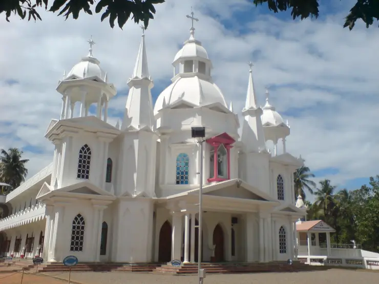
A major Marian pilgrimage church at Koratty, widely known as Koratty Muthy, with ordinary visits requiring different planning from the October feast.
2.0 km · 25 min walk
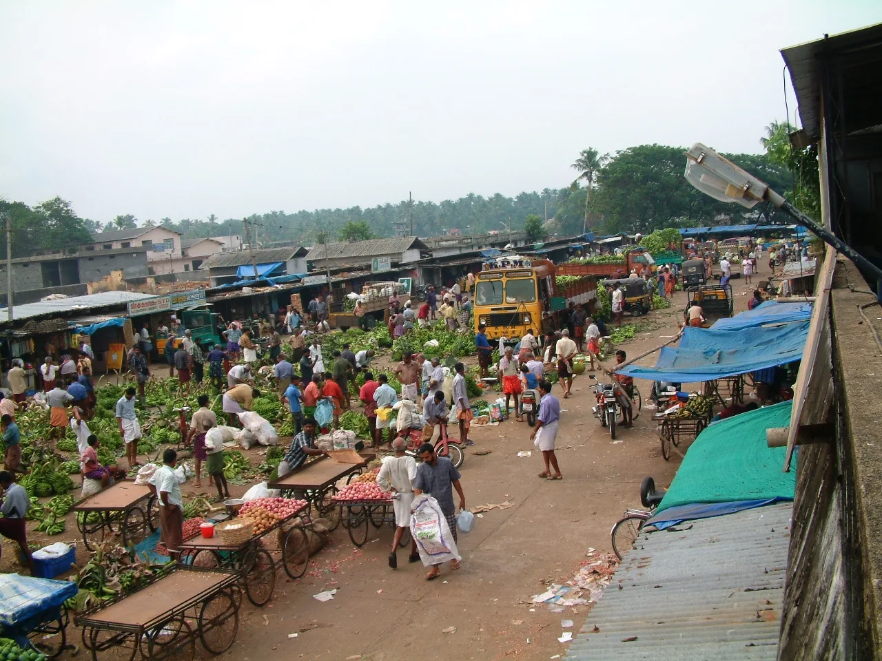
The town’s wholesale produce yard on Market Road, the oldest continuously working institution in Chalakkudy — a Sakthan Thampuran-era pandikasala that still holds its traditional Tuesday and Friday markets and takes hill produce down State Highway 21.
2.2 km · 28 min walk
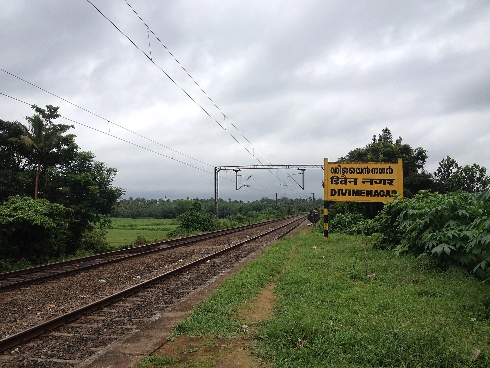
The Vincentian Congregation’s residential retreat centre on NH 544 at Muringoor, which by its own account takes about five thousand people a week for a six-day retreat in seven languages and houses two thousand more in five charitable homes — on volume, the largest organised draw in Chalakkudy taluk after the falls. Indian Railways opened a halt called Divine Nagar for it in 1996.
2.0 km · 25 min walk
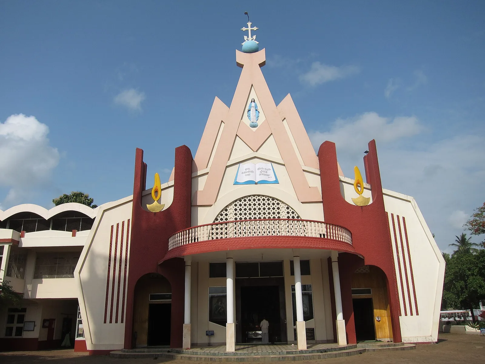
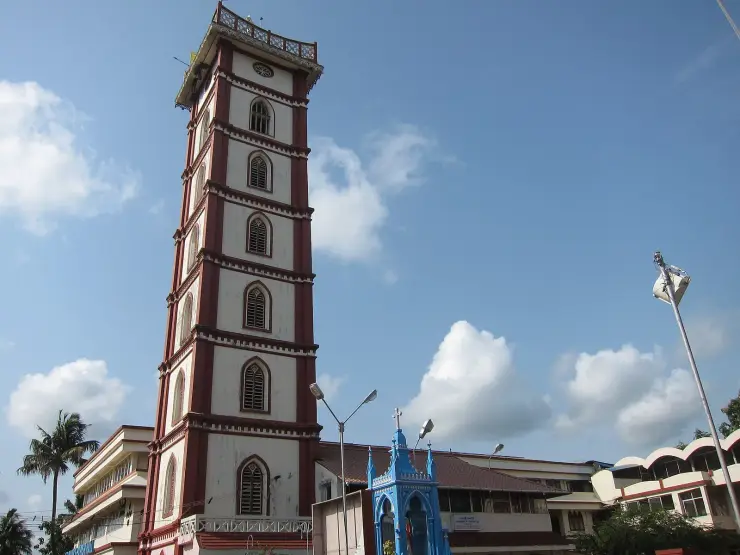
St Mary’s Forane Church on Church Road, the Syro-Malabar forane that governs seventeen daughter parishes across the Chalakkudy countryside and keeps the ambu perunnal, the arrow feast the town observes across community lines. The present building was rebuilt in 1987; the belfry is 1913 and the bell 1887.
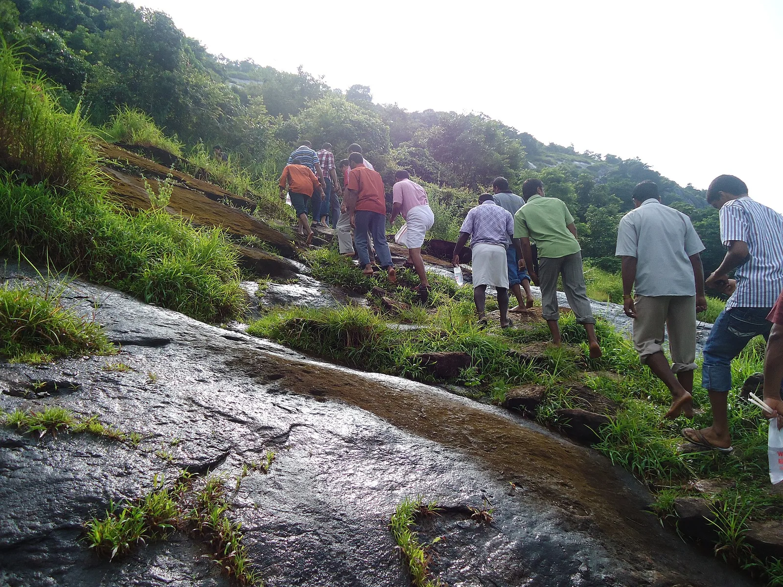
6.7 km · ~17 min by auto
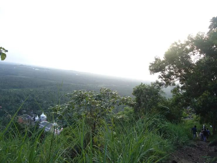
A hill of crosses about 5 km north of Chalakkudy that local devotion ranks with Malayattoor — fourteen crosses up a kilometre of bare sheet rock to a hilltop shrine at about 310 m. The pilgrimage was begun in 1940 by the vicar of Perambra after a dream; April is its busiest month.
Roampedia is commission-free — own or know a stay, eatery, guide or shop near Chalakkudy railway station? List it and it appears here once verified.
Add a nearby businessEntry: No entry fee — it is a working railway station, not a ticketed attraction. Travellers need a valid ticket; non-travellers going beyond the concourse need a platform ticket from the booking counter at the rate the Railway currently sets.
On Mala Road at Thachudaparambu (PIN 680307), about 1.4 km west of NH 544, 1.6 km west of the private bus stand and 1.9 km south-west of the mapped start of SH 21. Cochin International Airport is 19 km away. Neighbouring stations are Irinjalakuda (IJK) to the north and Divine Nagar (DINR) to the south.
If you are travelling by bus or ferry, check the return service with the operator before setting out. Leave time to reach the stop or jetty after your visit.
Ask at the bus stand for the time of the last service back, not the next one. If you miss it, an auto or app cab is the fallback — agree the fare before you get in.
If you need step-free access, contact the site before travelling. Ask about a level entrance, steps along the route, the nearest drop-off point, seating and accessible toilets.
Charge cap and free-transaction limits: Reserve Bank of India, in force since 1 May 2025.
These services are listed within about 1.2 km of Chalakkudy railway station. Walking distances follow mapped routes; access and opening hours can change. Other services may be closer but are not included here.
Emergency numbers are verified against official government and state tourism sources. 112 works anywhere in India.
St Mary’s Forane Church on Church Road, the Syro-Malabar forane that governs seventeen daughter parishes across the Chalakkudy countryside and keeps the ambu perunnal, the arrow feast the town observes across community lines. The present building was rebuilt in 1987; the belfry is 1913 and the bell 1887.
2.0 km · 25 min walk · straight lineThe town’s wholesale produce yard on Market Road, the oldest continuously working institution in Chalakkudy — a Sakthan Thampuran-era pandikasala that still holds its traditional Tuesday and Friday markets and takes hill produce down State Highway 21.
2.0 km · 25 min walk · straight lineThe Vincentian Congregation’s residential retreat centre on NH 544 at Muringoor, which by its own account takes about five thousand people a week for a six-day retreat in seven languages and houses two thousand more in five charitable homes — on volume, the largest organised draw in Chalakkudy taluk after the falls. Indian Railways opened a halt called Divine Nagar for it in 1996.
2.2 km · 28 min walk · straight lineA hill of crosses about 5 km north of Chalakkudy that local devotion ranks with Malayattoor — fourteen crosses up a kilometre of bare sheet rock to a hilltop shrine at about 310 m. The pilgrimage was begun in 1940 by the vicar of Perambra after a dream; April is its busiest month.
6.7 km · ~17 min by auto · straight lineA longstanding Catholic pilgrimage church at Mapranam associated with the Holy Cross and annual feast observances.
13.5 km · ~22 min by cab · straight line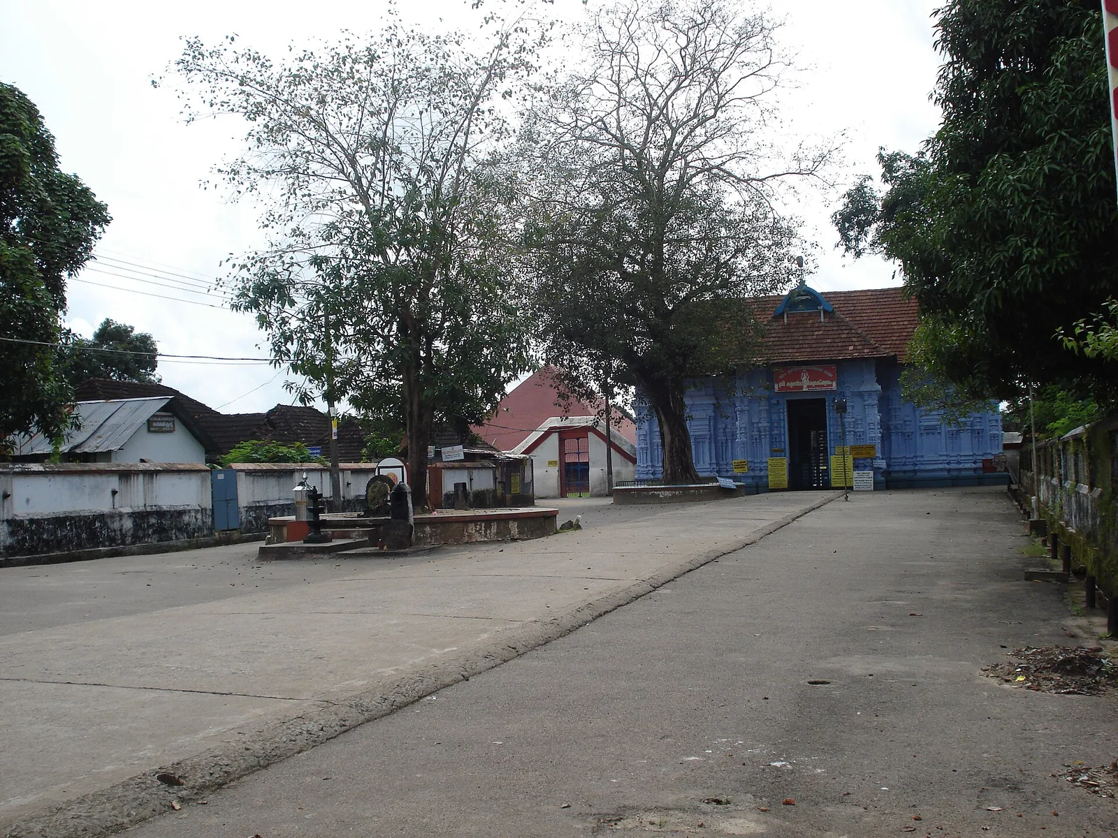
Rare temple at Irinjalakuda dedicated to Bharata, one of the Nalambalam (four-temple) Rama circuit shrines.
13.8 km · ~23 min by cab · straight line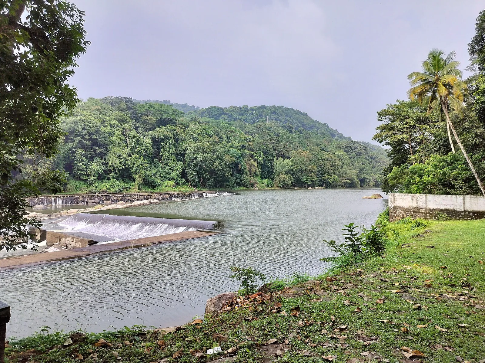
A check dam, hanging garden and butterfly garden on the Chalakudy river near Athirappilly, a popular picnic and day-trip stop.
14.3 km · ~24 min by cab · straight line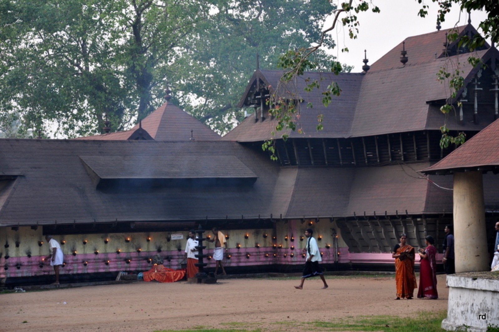
The Sree Kurumba (Bhagavathy) temple at Kodungallur, an ancient and powerful Devi shrine associated with the Bharani festival.
15.9 km · ~26 min by cab · straight line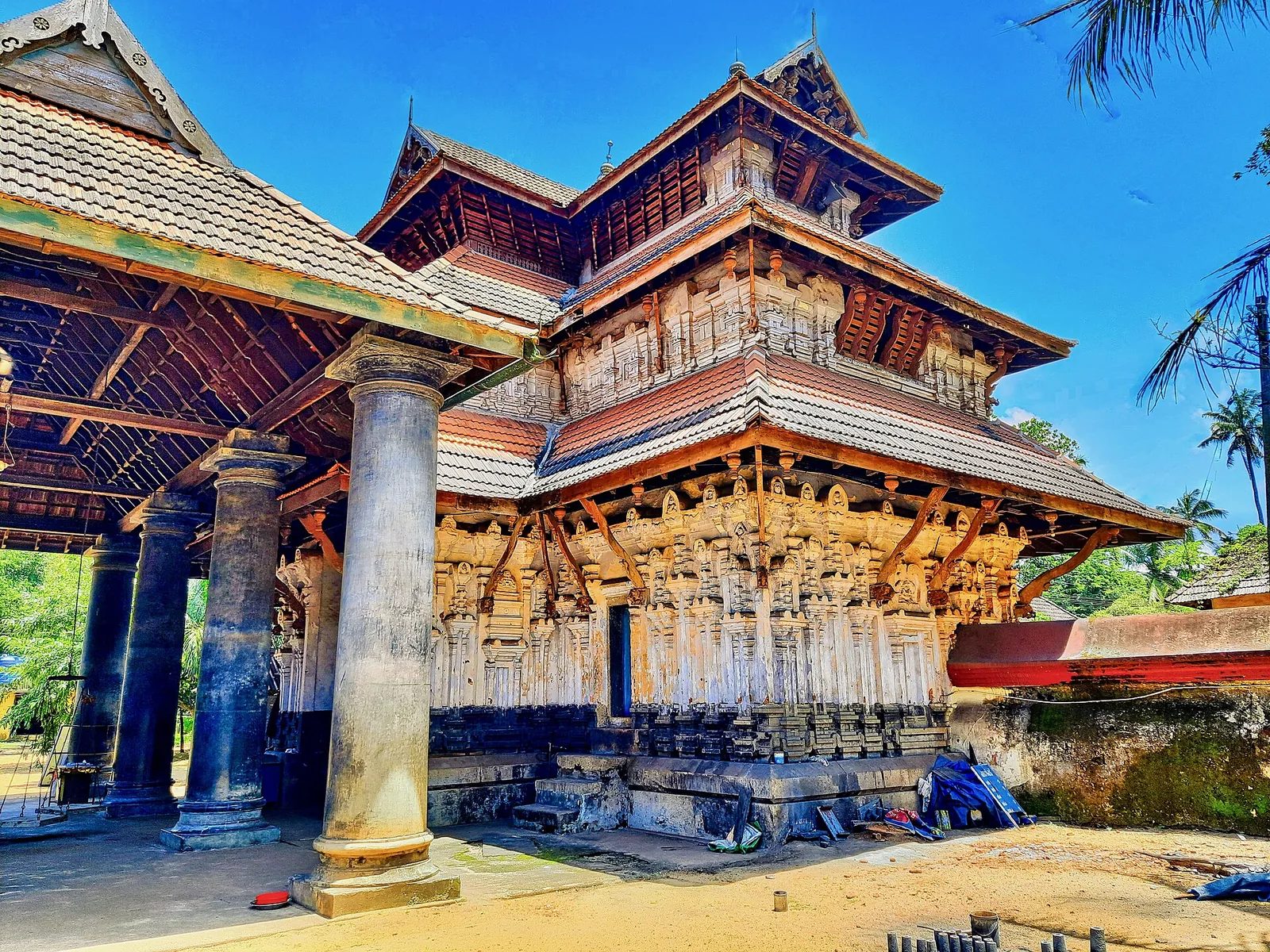
Ancient Shiva temple at Kodungallur linked with the old Chera capital of Mahodayapuram.
16.2 km · ~27 min by cab · straight line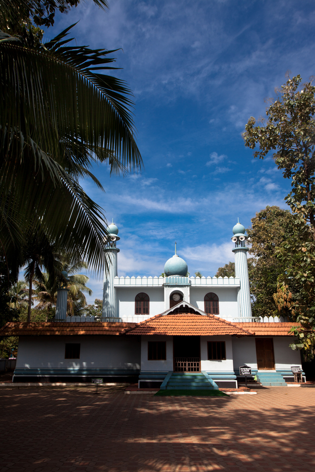
At Kodungallur, held by tradition to be the oldest mosque in the Indian subcontinent (7th century).
16.4 km · ~27 min by cab · straight line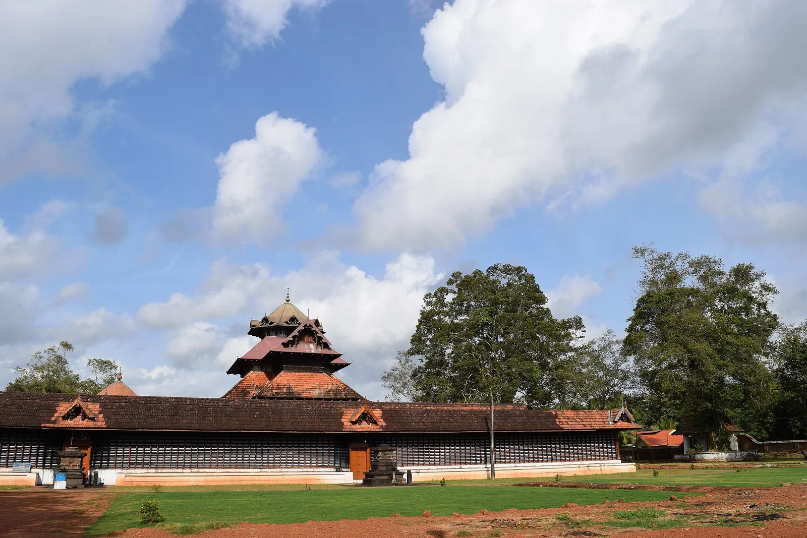
An ancient Shiva temple at Cherpu south of Thrissur, the ritual centre of the historic Peruvanam Pooram.
19.2 km · ~32 min by cab · straight line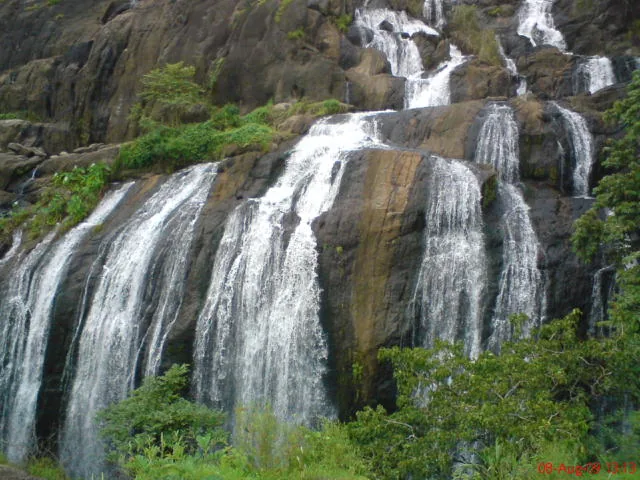
A forest waterfall and fish sanctuary near Marottichal in the hills east of Thrissur, reached by a short walk.
20.0 km · ~33 min by cab · straight lineNearby toilets, pharmacies, ATMs, seating and vets are community-mapped and may be incomplete or out of date. Map data © OpenStreetMap contributors | Walking times © openrouteservice.org by HeiGIT
Both spellings are romanisations of the same Malayalam name, ചാലക്കുടി, and the Malayalam is identical in each case. The Railway froze an older transliteration onto its nameboards and into its reservation systems, where the station appears as Chalakudi with the code CKI, while the modern local and administrative spelling of the town doubled the k. The divergence is real and it matters practically: book by the code or by Chalakudi, not by Chalakkudy.
Measured from the mapped station position on Mala Road, National Highway 544 is about 1.4 km east, the private bus stand about 1.6 km east, and the western end of State Highway 21 — the road to Athirappilly and Vazhachal — about 1.9 km north-east. You arrive on the west side of the town and everything you are heading for is on the east, so allow for the transfer.
In 1902. The Shoranur–Cochin Harbour line was opened to goods traffic on 2 June 1902 and to passenger traffic on 16 July 1902, after construction begun in 1899 by the Madras Railway company on behalf of the Cochin state. Malayalam sources add that the railway bridge over the Chalakudy river, started in the 1890s, was completed at the same time.
Yes, according to Malayalam sources on the town, and for a long time. In the early decades other vehicles crossed the Chalakudy river on the railway bridge itself, and the arrangement continued until 1970, when the separate Chalakudy road bridge was finished and surface traffic moved off it.
The Cochin State Forest Tramway, operating from 1907, brought teak and rosewood down from the Parambikulam forests to Chalakkudy, where its workshop and timber yard stood, and the timber then went on by rail. The tramway was extended to this town specifically because the railway had been here since 1902. The tramway’s own history is told on the Chalakkudy town record.
Irinjalakuda, code IJK, is to the north and Divine Nagar, code DINR, is to the south. Both names mislead. Irinjalakuda station actually stands in Kallettumkara village, about 8 km from Irinjalakuda town, and Divine Nagar is a small halt serving the Divine Retreat Centre next to it, with only a handful of stopping services.
No. It is a working railway station, not an attraction with a gate. If you are not travelling and want to go past the concourse onto the platforms you need a platform ticket from the booking counter, at whatever rate the Railway currently sets.
November to February and early mornings are best for walking; avoid midday heat where possible.
Entry: No entry fee — it is a working railway station, not a ticketed attraction. Travellers need a valid ticket; non-travellers going beyond the concourse need a platform ticket from the booking counter at the rate the Railway currently sets. Timings: A through station on a high-density corridor, staffed and open around the clock; long-distance services call at all hours.
Base yourself in Chalakkudy or a nearby town in Thrissur, then confirm the last-mile route locally before leaving. Walkable heritage areas are best done slowly; combine nearby streets, museums, markets and food stops. If the visit depends on forest, temple, boat, ferry, weather or seasonal access, check the official/local rule on the day before travel.
1 to 3 hours.
Nearby you can pair Chalakkudy Forane Church (2.0 km), Chalakudy Market (2.0 km), Muringoor Divine Retreat Centre (2.2 km), Kanakamala Kurishumudi (6.7 km).
Watch traffic on narrow heritage streets. Keep valuables close in crowded markets.
Written about Chalakkudy railway station itself — its history, its legends and the arguments about them.


These guides explore Chalakkudy and the surrounding area. Choose a visit that fits your interests, allowing separately for travel between stops.


Route-level itineraries and practical guides for the rest of Kerala.
Photographs: Csnithin024 (CC BY-SA 3.0), Edward Harran (or unknown photographer on his behalf), Wikimedia Commons (public domain) (public domain), Shijoy, Wikimedia Commons (CC BY-SA 4.0) (CC BY-SA 4.0), Edward Harran or unknown photographer on behalf of Edward Harran (Public domain). Wikimedia Commons.