Peechi-Vazhani trek

Peechi–Vazhani is not one reliably scheduled path. Official tourism material describes a forest trek from Vazhani towards the far-away Peechi dam, while the Vazhani side also has four named local trails from two to eight kilometres.

Peechi-Vazhani trek, Thrissur city
Practical guide

Plan Peechi-Vazhani trek

Who's going?Tailor Peechi-Vazhani trek to your trip
Typetrek
AreaThrissur city
DistrictThrissur
Best timeOctober to February is generally the…
Time neededFrom a short two-kilometre managed trail…
Places to visit8Listed businesses51

No current official catalogue publishes a departure, duration or tariff for the through-trek. Confirm which route is running, where to report and how the party returns before treating the old description as a bookable promise.

The story

Peechi–Vazhani is a sanctuary crossing before it is a neat product name. Official tourism material describes walking from the Vazhani side towards Peechi, while four shorter named routes begin around Vazhani. The practical first step is therefore to find out which walk is operating now.

The story of Peechi-Vazhani trek

The hyphen joins two reservoirs on a page, but it does not put their public gardens next door to each other. Peechi and Vazhani are separate roadheads on opposite sides of a 125-square-kilometre wildlife sanctuary. A visitor who drives to one dam cannot assume there is a public road through the protected forest to the other.

Kerala Tourism’s Vazhani description gives the clearest account of the long walk: a trek towards Peechi, a dam site far away in the woods. That sentence establishes direction and scale, but it does not publish a current departure, duration, price or return vehicle. It is evidence that the route has been offered, not proof that it leaves every morning.

The current Forest Department ecotourism index still names Peechi–Vazhani as a centre, yet the current Kerala Tourism trekking catalogue does not sell a named Peechi–Vazhani package. The honest plan is to call the Wildlife Warden’s office, ask whether the crossing is running, and accept that a shorter local trail may be the only authorised walk on the chosen date.

Vazhani has four named alternatives. Elephant Saga is listed at two kilometres, Bison Trail at three, Dam Valley at six and Moodal Hill Hiking at eight. These are useful choices because they turn “forest trekking” into a decision about distance and effort without pretending that a trail name guarantees the animal for which it is named.

The map anchor on this page is Vazhani Forest Station, read from its mapped forestry-office node beside Vazhani Dam Road and the ticket-counter area. It sits just outside the mapped sanctuary boundary. That is exactly what a useful visitor anchor should do: lead to the public approach without inventing a coordinate for a moving guide assignment or a forest endpoint.

No official page explicitly promises that every trekking party reports at that station. The pin is therefore labelled as a planning anchor, and the office must confirm the meeting place. A sanctuary centroid deep in the forest would look more dramatic on a map and be much less useful to someone arriving by road.

The through-walk creates a question that most scenic descriptions omit: how does the party get back? Vazhani and Peechi have different road approaches. Unless the operator returns walkers to Vazhani, a vehicle or pickup may be required at the Peechi end. That answer belongs in the booking conversation before anyone starts walking.

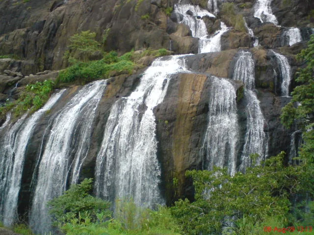
The sanctuary exists because the two reservoirs share more than a tourism label. It protects their forested catchments across the western foothills of the Nelliyampathy landscape. Streams, slopes and vegetation hold water before it reaches either reservoir, so a trek reads the working watershed rather than simply joining two dam walls.

Elevation rises from roughly 45 metres to around 900 metres. Kerala Tourism describes moist-deciduous, semi-evergreen and evergreen forest across that range, along with orchids and medicinal plants. The changes are gradual on the ground: leaf density, shade, moisture and tree form shift with height and exposure rather than at a signboard.

Ponmudi is the sanctuary’s high country, not the familiar Ponmudi hill station near Thiruvananthapuram. The repeated name can misdirect image searches and travel plans. Nothing in the current public material proves that a summit trek to this Ponmudi is operating, so it remains a geographical reference rather than a promised itinerary.

Peechi–Vazhani Wildlife Sanctuary was established in 1958 by bringing together the Pattikad, Machad and Peechi forest ranges. Tourism sources often describe it as Kerala’s second-oldest sanctuary, while current official lists place same-year sanctuaries in different orders. The secure fact is the year; the rank is best left attributed rather than treated as a contest.

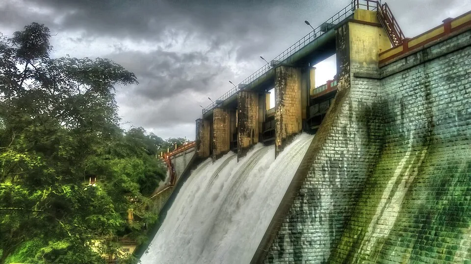
Vazhani’s earthen dam was completed in 1962, after the sanctuary’s establishment. Its garden, reservoir edge and hanging bridge belong to the public dam visit. They can frame the start or end of a day, but crossing a bund or strolling a garden is not completion of a guided forest route.

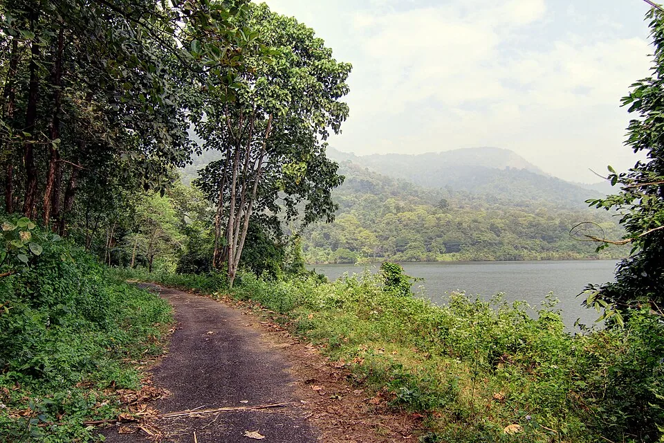
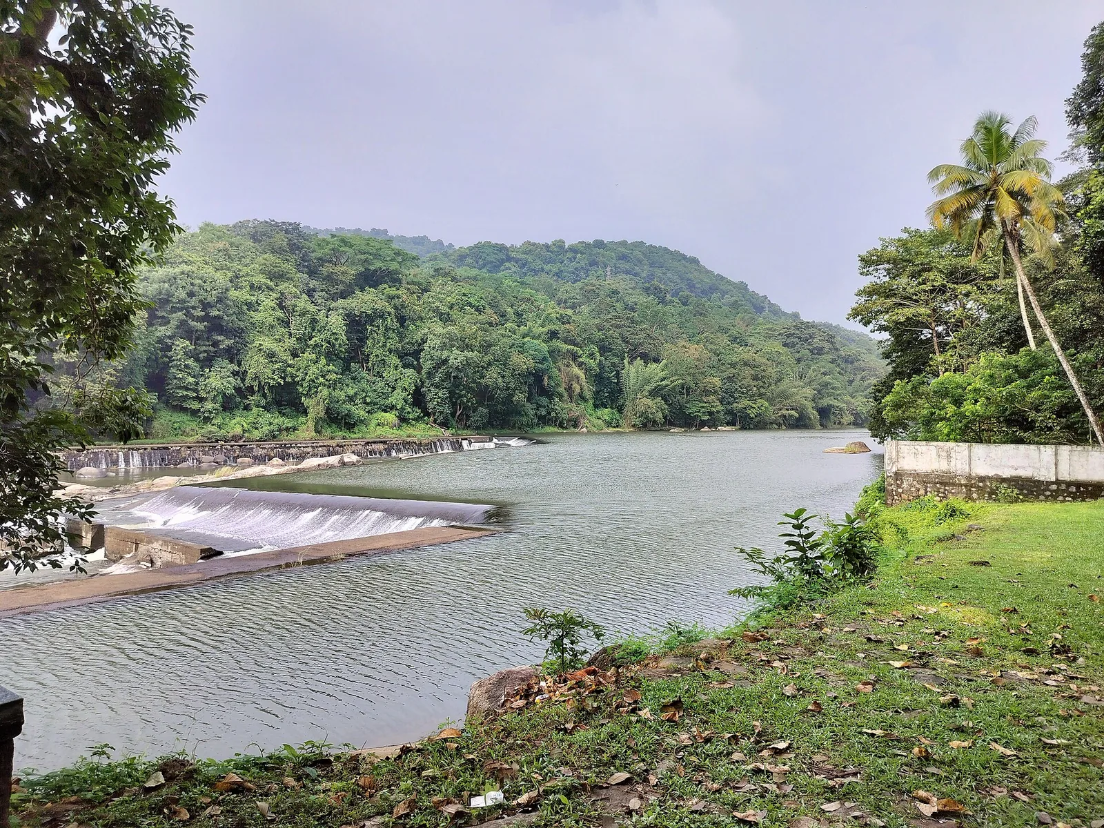
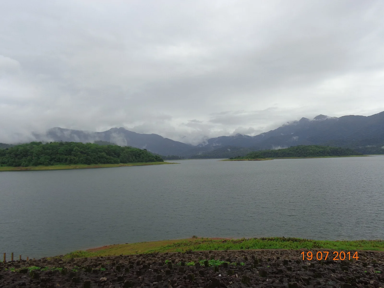
The Peechi side has its own reservoir, garden and public outing. Calling both halves “the trek” erases the most useful distinction: dam recreation happens at accessible edges, while sanctuary walking is controlled. A photograph of open water explains the catchment but cannot prove which trail is available.

Wildlife belongs to the habitat, not to the itinerary. Gaur, elephants, sambar, spotted deer and many birds are recorded in the sanctuary, but Elephant Saga and Bison Trail are route names rather than sighting warranties. The guide may respond to fresh animal movement by slowing, turning back or changing the line.

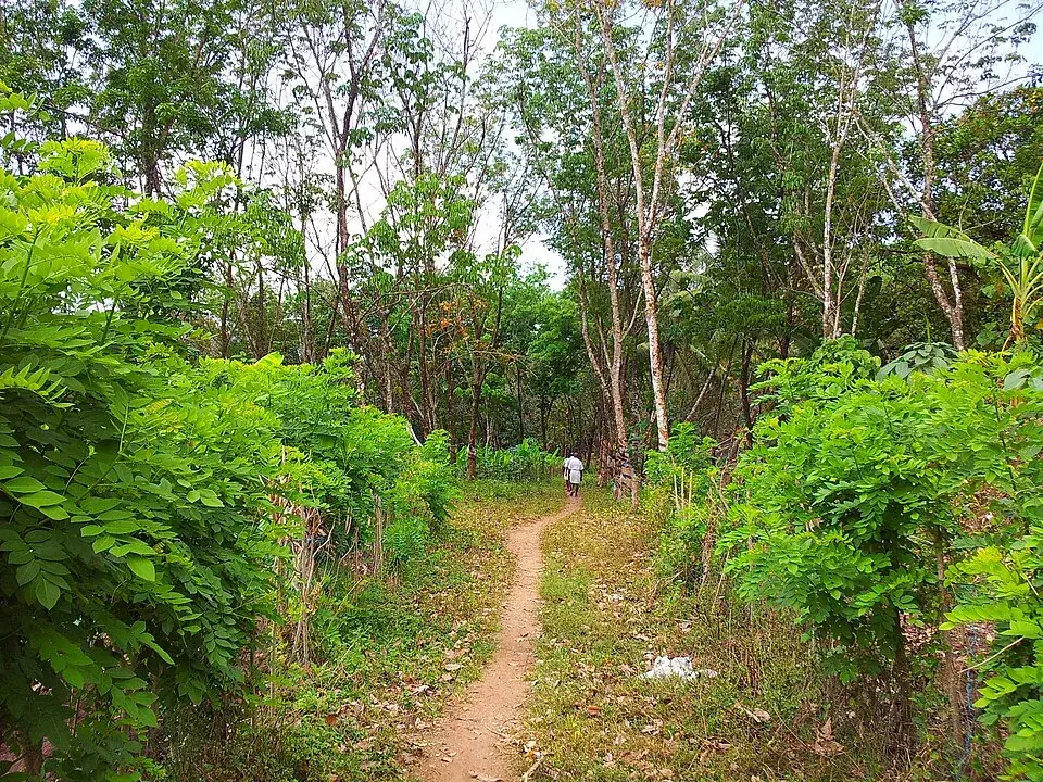
The visible landscape around Peechi also includes inhabited and cultivated edges. Photographs show paths passing banana plots, streams and rubber rows before deeper wooded slopes. Describing every green frame as untouched rainforest would hide how settlement, plantation and protected catchment meet around the sanctuary boundary.

A 2010 Forest Department table lists old admission amounts and historic activities. Sixteen years later it is valuable evidence that trekking and nature camps existed, not a live tariff. No current official trek fee was found, so the page refuses to promote the old ₹20 admission as today’s guided-walk price.

Office hours and trek hours are also different facts. The Forest directory publishes contact windows of 10:00–13:15 and 14:00–17:00. Those are the times to reach the division office, not suggested departure times. A long forest crossing would normally require a much earlier operational plan set by staff.

The most useful call has five questions: which named route is running, where does the party report, what is the current total and minimum group, how long will it take, and how does the group return from the far roadhead? A clear answer converts a historic route description into a real day plan.

Peechi–Vazhani rewards a traveller who keeps its layers separate: two reservoirs, one protected catchment, four named local routes, a historically described crossing and a current access decision. The landscape is coherent; the tourism products are not interchangeable.

Legend & myth

Peechi and Vazhani are not adjacent dam gardens joined by an unrestricted public path. The hyphen names one sanctuary across two catchments; any crossing or local trail remains a guided, currently confirmed Forest Department activity.
Read the full history of Peechi-Vazhani trek 124 more words

History

Peechi–Vazhani Wildlife Sanctuary was established in August 1958 from the Pattikad, Machad and Peechi ranges of Thrissur Forest Division.

The protected area covers 125 square kilometres and safeguards the catchments of both Peechi and Vazhani reservoirs.

Vazhani’s earthen dam was completed in 1962, adding a public reservoir edge to the older protected landscape.

Current official listings retain Peechi–Vazhani as an ecotourism centre, but do not publish a current fixed through-trek timetable or tariff.

Why visit

Choose among four named Vazhani-side distances rather than booking a generic “jungle trek”.

See how a protected catchment links two reservoirs across changing elevations.

Walk from cultivated forest edge towards denser woodland with a guide who reads current conditions.

Understand why return transport is part of a through-trek, not an afterthought.

What to expect

Highlights

  • Four named Vazhani-side choices: Elephant Saga, Bison Trail, Dam Valley and Moodal Hill.
  • A protected catchment stretching between two reservoirs rather than two neighbouring dam gardens.
  • Forest rising from low foothills towards the sanctuary’s Ponmudi high country.
  • A guided route whose wildlife, weather and return logistics decide the day.
Getting there

How to visit

  • Call the Peechi Wildlife Division during its published office hours and name the route you want.
  • Ask whether the Vazhani–Peechi crossing or only a shorter local trail is operating, and obtain the exact reporting instruction.
  • Plan both roadheads: a through-walk can create a return-transport problem if the operator does not bring the group back to Vazhani.
  • Enter only with the authorised guide and treat any closure or route change as final.

Distance by road

  • Kochi85 km
  • Coimbatore115 km
  • Kozhikode130 km
  • Mysuru265 km
  • Madurai274 km

Road km to Thrissur; ghat roads and traffic vary — allow extra.

Timing

Best time

October to February is generally the easier walking window, but the Forest Department’s current instruction matters more than the calendar. Rain, fire risk, animal movement and trail damage can change access.

Weather in Peechi-Vazhani trekSeasonal guide

Live forecast loads in your browser.

Today at Peechi-Vazhani trek
Sunrise6:13 am
Sunset6:10 pm
Golden hour best light5:10 pm–6:10 pm
Blue hour after sunset6:10 pm–6:35 pm
Sun sets toward compass bearingW · 263°
Moon tonight🌑 New moon · 0%
Retreating monsoon. October and November still see spells of rain from the retreating monsoon, though it is usually lighter than mid-year. Conditions are generally good but worth checking.

Sun and moon are calculated for this location and shown in IST. Photography windows are the hour around sunrise and sunset; the sunset bearing is degrees clockwise from true north. Moon phase is accurate to about half a day.

Visitor notes

  • The map anchor is Vazhani Forest Station, read from OSM beside the public approach; it is not a claimed trek endpoint.
  • The 2010 Forest tariff is historical and no current trek price was found.
  • Peechi Dam and Vazhani Dam are separate public visits with different road approaches.
  • Wildlife sightings are never guaranteed; forest structure, water and birdlife are the dependable subjects.
Safety

Good to know

  • Remain with the guide and never treat mapped forest ways as permission to enter.
  • Wear closed footwear for roots, stone, wet leaves and stream edges.
  • Keep distance from elephants, gaur and all wildlife; never feed or follow animals.
  • Carry out every wrapper and do not depend on phone signal inside the sanctuary.
Official eco & forest programmes

Experiences around Peechi-Vazhani trek

These are official or public-sector eco offerings that match this place, town or forest destination. Confirm availability, permits, tariffs and reporting times with the official operator before travel.

Peechi, Peechi-Vazhani trek
wildlifeboatingviewpoint

Peechi eco visit

Peechi reservoir, garden and the sanctuary’s southern public edge; a dam visit rather than proof that a guided forest trail is operating.

Kerala Forest Department / local tourism authorities
Official source →
Vazhani, Peechi-Vazhani trek
wildlifeboatingviewpoint

Vazhani eco visit

The Vazhani dam approach, garden and forest threshold from which official tourism material names four local trails and a trek towards Peechi.

Kerala Forest Department / local tourism authorities
Official source →
Stay · eat · do · rent · see · shop

Stays, food & things to do near Peechi-Vazhani trek

Browse listed stays, food, activities, sights, shops and rentals around Peechi-Vazhani trek. Check each listing’s locality and contact the business directly for current arrangements.

7 things to do near Peechi-Vazhani trek

Taxi service · Thrissur city
Yellow Cabss Thrissur

Thrissur taxi provider near the railway station with Guruvayur and Athirappilly route evidence. Thrissur taxi, Railway station, Guruvayur transfer.

Directions Commission-freeView details
Taxi service · Thrissur city
LaBa Cabs Thrissur
17.0 km · straight-line distance

Thrissur call-taxi and app cab provider near the railway station. Thrissur taxi, Railway station, App cab.

Directions Commission-freeView details
Temple · Thrissur city
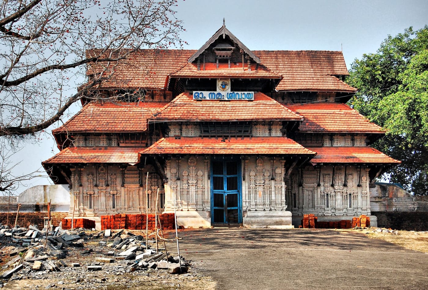
Sree Vadakkunnathan Temple
16.0 km · straight-line distance

Official temple contact for Thrissur city central Shiva temple and Pooram anchor. Temple rules apply · Thrissur, Vadakkunnathan Temple, Temple.

Directions Commission-freeView details
Tourist information centre · Thrissur city
DTPC Thrissur Tourist Information
15.3 km · straight-line distance

Official Thrissur tourism contact context for city, Pooram and district trip planning. Thrissur, DTPC, Tourist information.

Directions Commission-freeView details
Athirappilly tour and taxi operator · Thrissur city
Traveller Taxi Thrissur
19.5 km · straight-line distance

Thrissur-based tour and taxi operator running Athirappilly waterfall day trips, Guruvayur temple runs and Sabarimala transfers. It works from Nedupuzha near Vattappini Temple with Innova, Dzire and Ertiga cars plus 12 to 26 seat tempo travellers, and lists several direct booking numbers.

Directions Commission-freeView details
Travel agent · Thrissur city
Namasthe Kerala Holidays Irinjalakuda

Kerala Tourism-listed Thrissur district travel agent based in North Irinjalakuda. Thrissur travel agent, Irinjalakuda, Kerala Tourism listed.

Directions Commission-freeView details
Taxi service · Thrissur city
Thrissur Call Taxi
17.1 km · straight-line distance

Thrissur taxi operator near the railway station with direct booking contacts. Thrissur taxi, Railway station, Transport.

Directions Commission-freeView details

Book with the place itself. India’s cyber-crime coordination centre warned in April 2025 that convincing copies of hotel and pilgrimage booking sites are being pushed through sponsored search and social ads, taking payment for rooms the property never hears about. Use the contact and source details on each profile to confirm the exact business and booking channel. A directory entry or map pin alone does not establish an operator’s identity or current availability. Roampedia takes no commission and does not collect booking payments. If a booking page reached you through an ad, check the address bar against the property’s own site before you pay. Fraud can be reported on cybercrime.gov.in or on 1930.

Nearby guides

Top experiences around Thrissur city

23 more places around Thrissur city. Open a guide to plan the visit and onward journey.

A
Ariyannur Temple and Megalithic Site
Place
templeAriyannur Temple and Megalithic Site

An old temple landscape near Kandanassery with nearby megalithic remains; living worship and archaeological evidence must be described as separate layers.

C
Chemmapilly Hanging Bridge
Place
heritageChemmapilly Hanging Bridge

A narrow pedestrian suspension bridge over the Karuvannur river at Chemmapilly, best visited as a working local crossing rather than a staged thrill attraction.

H
Holy Cross Church, Mapranam
Place
churchHoly Cross Church, Mapranam

A longstanding Catholic pilgrimage church at Mapranam associated with the Holy Cross and annual feast observances.

K
Kunjalipara
Place
viewpointKunjalipara

A lesser-known rocky hill destination in Thrissur district where the exact approach, safe stopping point and public access require local confirmation.

templeVadakkunnathan Temple

16.0 km · straight line

Ancient temple at the centre of Thrissur’s round, associated with Thrissur Pooram.

trekChimmony trek

The official guided 5 km, roughly 3-hour forest route from Virakuthodu, one kilometre beyond the check post, to Choorathala inside Chimmony Wildlife Sanctuary.

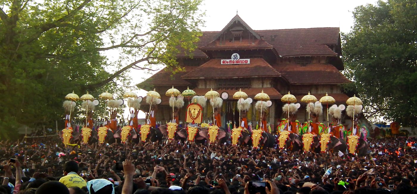
heritageThrissur Pooram

16.0 km · straight line

Kerala’s most famous temple festival, held around April/May at the Thekkinkadu ground around Vadakkunnathan.

beachSnehatheeram Beach

Family-friendly beach south-west of Thrissur city.

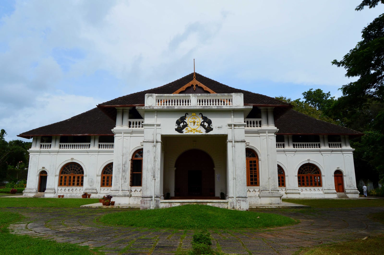
heritageShakthan Thampuran Palace

15.2 km · straight line

Restored palace and archaeological museum in Thrissur city, built by Raja Rama Varma Sakthan Thampuran.

churchBasilica of Our Lady of Dolours

16.0 km · straight line

The “Puthan Pally” basilica in Thrissur, known for its Bible Tower — among the tallest church towers in Asia.

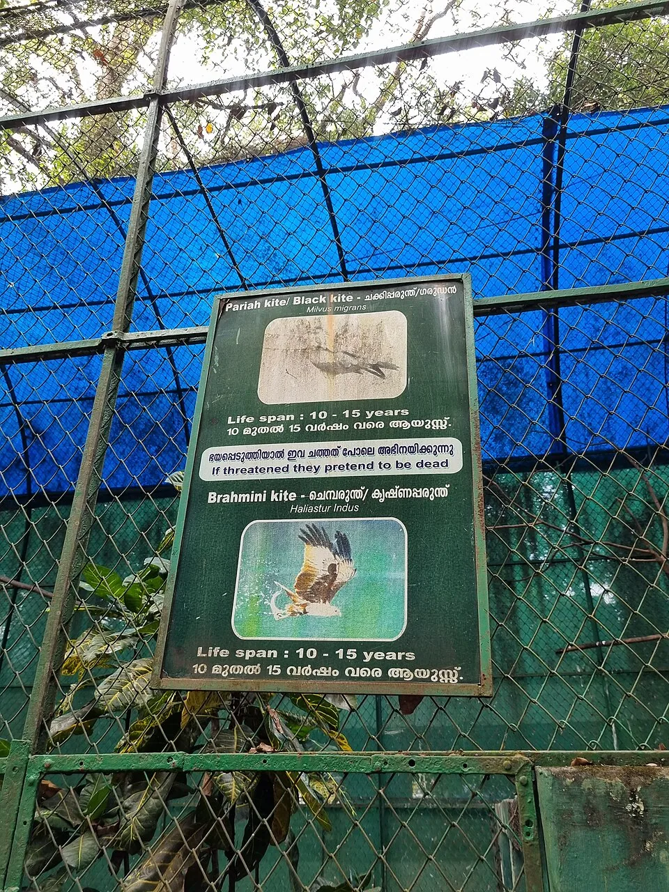
wildlifeThrissur Zoo

14.9 km · straight line

State museum, art gallery and natural-history collection at Chembukkavu; the zoo animals moved to the new zoological park at Puthur, open since February 2026.

damPeechi Dam

14.0 km · straight line

Reservoir and garden at the edge of the Peechi-Vazhani sanctuary, with boating, about 20 km east of Thrissur.

viewpointVilangan Kunnu

17.3 km · straight line

A low hill and park on the edge of Thrissur city, popular for sunset views and morning walks.

templeKoodalmanikyam Temple

Rare temple at Irinjalakuda dedicated to Bharata, one of the Nalambalam (four-temple) Rama circuit shrines.

templeThriprayar Temple

Sree Rama temple on the Theevra river near Triprayar, another of the Nalambalam circuit shrines.

damThumboormuzhi Dam

A check dam, hanging garden and butterfly garden on the Chalakudy river near Athirappilly, a popular picnic and day-trip stop.

waterfallMarottichal Falls

18.2 km · straight line

A forest waterfall and fish sanctuary near Marottichal in the hills east of Thrissur, reached by a short walk.

templePeruvanam Mahadeva Temple

24.5 km · straight line

An ancient Shiva temple at Cherpu south of Thrissur, the ritual centre of the historic Peruvanam Pooram.

templeVilwadrinatha Temple

17.1 km · straight line

The Sree Rama (Vilwadrinatha) hill temple at Thiruvilwamala on the Nila river, reached by stone steps up the wooded rock.

beachNattika Beach

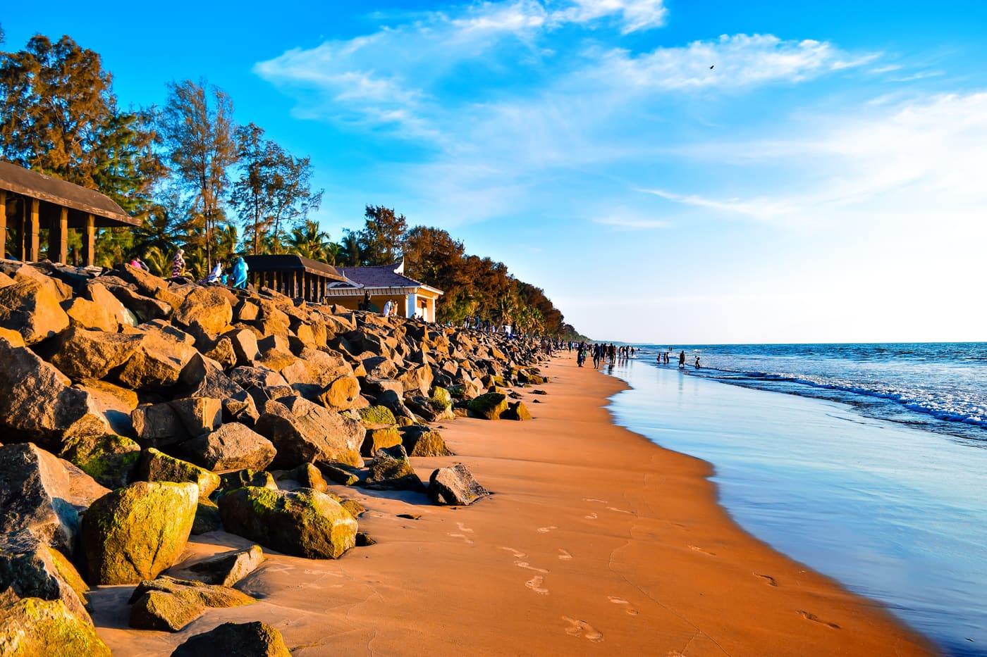
Nattika Beach is the Arabian Sea shore of Nattika in Thrissur district, also identified by Kerala Tourism as Attakuzhi Bandhar Kadapuram. Its long sand frontage, fishing-life connections and association with the Malayalam film Chemmeen give it a character distinct from a resort’s private grounds. Use the named public beach approach for a shore visit, with Nattika and Triprayar providing the wider town plan. The beach, Triprayar Sree Rama Temple and any accommodation property require separate arrival instructions.

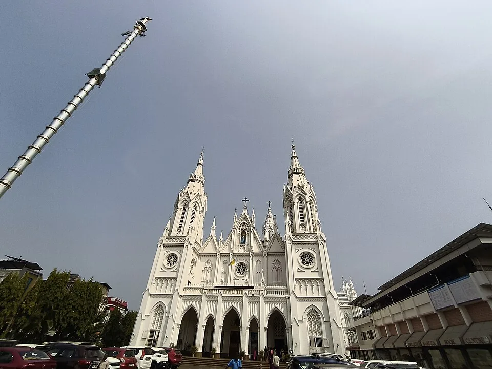
churchOur Lady of Lourdes Cathedral

15.3 km · straight line

A landmark Syro-Malabar cathedral in Thrissur city known for its Gothic facade and an underground shrine (rock church).

backwaterChettuva Backwaters

A calm estuarine backwater, mangroves and fishing-harbour belt on the Thrissur coast near Chavakkad, quieter than Alappuzha.

damChimmony Dam

A reservoir and eco-tourism spot at the edge of the Chimmony Wildlife Sanctuary east of Thrissur, with boating and forest views.

Roampedia is commission-free — own or know a stay, eatery, guide or shop near Peechi-Vazhani trek? Submit public business details for review.

Add a nearby business
Trek facts

Peechi-Vazhani trek — at a glance

TimingsNo fixed public departure is currently published. The Forest directory lists office working hours as 10:00–13:15 and 14:00–17:00; these are contact hours, not a promise that trekking starts then.
Best timeThe drier months from roughly October to February usually make long forest walking easier. Rain changes streams, footing and reservoir levels, and fire, wildlife or weather conditions can suspend access in any season.

Entry: No current official trek tariff is published. A 2010 Forest Department table is historical and must not be treated as today’s price; ask the sanctuary office for the current guide charge, group minimum and payment method.

Parking: Use the designated parking at the confirmed reporting side and leave the vehicle where staff direct. A through-walk may finish at a different roadhead.

Getting here

How to reach Peechi-Vazhani trek

  • ✈︎ By air Cochin International Airport is the practical airport. Continue by road via Thrissur, but give the driver the confirmed reporting side rather than the combined sanctuary name.
  • 🚆︎ By train Wadakkanchery is the practical railhead for Vazhani; Thrissur is the larger railhead for Peechi and for long-distance arrivals. Choose only after the office confirms the trail start.
  • 🚗︎ By road For a Vazhani-side trail, travel through Wadakkanchery to the dam/forest-station approach; for a Peechi-side instruction, use the separate Pattikkad–Peechi road. Do not assume a public motor road joins the two visitor sides through the sanctuary.
  • 🚌︎ By bus Kerala Tourism identifies Wadakkanchery as the nearest rail-side town for Vazhani and Thrissur as the main bus base. Ask the sanctuary which local stop matches the day’s reporting side, because “Peechi–Vazhani” is not one bus destination.
Getting back

If you are travelling by bus or ferry, check the return service with the operator before setting out. Leave time to reach the stop or jetty after your visit.

Ask at the bus stand for the time of the last service back, not the next one. If you miss it, an auto or app cab is the fallback — agree the fare before you get in.

Prepare

What to carry

  • Name the exact route when you call: Elephant Saga, Bison Trail, Dam Valley, Moodal Hill or the Vazhani–Peechi crossing.
  • Confirm the reporting point, guide charge, group minimum and whether return transport is included.
  • Carry identification, water, personal medicine, rain protection and closed footwear.
  • Expect natural, uneven and seasonally wet ground; these forest walks are not step-free.
Getting around Peechi-Vazhani trek

If you need step-free access, contact the site before travelling. Ask about a level entrance, steps along the route, the nearest drop-off point, seating and accessible toilets.

Nearby

What’s near Peechi-Vazhani trek

heritageKerala Kalamandalam

Kerala’s performing-arts institution at Cheruthuruthy, with guided visits to teaching kalaris, the Koothambalam and art gallery, and a separate older Nila campus and Vallathol Museum.

11.4 km · straight line
damPeechi Dam

Reservoir and garden at the edge of the Peechi-Vazhani sanctuary, with boating, about 20 km east of Thrissur.

14.0 km · straight line
wildlifeThrissur Zoo

State museum, art gallery and natural-history collection at Chembukkavu; the zoo animals moved to the new zoological park at Puthur, open since February 2026.

14.9 km · straight line
heritageShakthan Thampuran Palace

Restored palace and archaeological museum in Thrissur city, built by Raja Rama Varma Sakthan Thampuran.

15.2 km · straight line
churchOur Lady of Lourdes Cathedral

A landmark Syro-Malabar cathedral in Thrissur city known for its Gothic facade and an underground shrine (rock church).

15.3 km · straight line
templeVadakkunnathan Temple

Ancient temple at the centre of Thrissur’s round, associated with Thrissur Pooram.

16.0 km · straight line
heritageThrissur Pooram

Kerala’s most famous temple festival, held around April/May at the Thekkinkadu ground around Vadakkunnathan.

16.0 km · straight line
churchBasilica of Our Lady of Dolours

The “Puthan Pally” basilica in Thrissur, known for its Bible Tower — among the tallest church towers in Asia.

16.0 km · straight line
templeVilwadrinatha Temple

The Sree Rama (Vilwadrinatha) hill temple at Thiruvilwamala on the Nila river, reached by stone steps up the wooded rock.

17.1 km · straight line
viewpointVilangan Kunnu

A low hill and park on the edge of Thrissur city, popular for sunset views and morning walks.

17.3 km · straight line
waterfallMarottichal Falls

A forest waterfall and fish sanctuary near Marottichal in the hills east of Thrissur, reached by a short walk.

18.2 km · straight line
templePeruvanam Mahadeva Temple

An ancient Shiva temple at Cherpu south of Thrissur, the ritual centre of the historic Peruvanam Pooram.

24.5 km · straight line

8 detailed place guides in Thrissur city →

On the map

Where Peechi-Vazhani trek is

Good to know

Peechi-Vazhani trek — frequently asked

Can you currently trek from Vazhani to Peechi?

Official tourism material describes that crossing, but no current timetable or tariff is published. Ask the Peechi Wildlife Division whether it is operating on your date.

What shorter trails are named at Vazhani?

Elephant Saga (2 km), Bison Trail (3 km), Dam Valley (6 km) and Moodal Hill Hiking (8 km).

Where does the map point?

To Vazhani Forest Station beside the public Vazhani approach. It is a planning anchor outside the sanctuary boundary, not a trek endpoint; confirm the actual meeting place.

Is there a current trek fee?

No current official tariff was found. Ask for the guide charge, group minimum and payment method; do not rely on the historical 2010 admission table.

Can I walk independently?

No. Protected-forest access is controlled, and a mapped path is not permission to enter without an authorised guide.

Does a route name guarantee wildlife?

No. Elephant Saga and Bison Trail are names, not promises. Wildlife sightings and the day’s line depend on conditions.

Why must return transport be confirmed?

The through-trek is described from Vazhani towards Peechi, whose public roadhead is separate. Ask whether the operator returns the group or expects a vehicle at the far side.

When is the best time to visit Peechi-Vazhani trek?

October to February is generally the easier walking window, but the Forest Department’s current instruction matters more than the calendar. Rain, fire risk, animal movement and trail damage can change access.

What are the entry fee and timings at Peechi-Vazhani trek?

Entry: No current official trek tariff is published. A 2010 Forest Department table is historical and must not be treated as today’s price; ask the sanctuary office for the current guide charge, group minimum and payment method. Timings: No fixed public departure is currently published. The Forest directory lists office working hours as 10:00–13:15 and 14:00–17:00; these are contact hours, not a promise that trekking starts then.

How do I reach Peechi-Vazhani trek?

Call the Peechi Wildlife Division during its published office hours and name the route you want. Ask whether the Vazhani–Peechi crossing or only a shorter local trail is operating, and obtain the exact reporting instruction. Plan both roadheads: a through-walk can create a return-transport problem if the operator does not bring the group back to Vazhani. Enter only with the authorised guide and treat any closure or route change as final.

How much time do I need for Peechi-Vazhani trek?

From a short two-kilometre managed trail to a substantial eight-kilometre hike; the through-trek requires a separate current duration and transport plan from the operator.

What else is near Peechi-Vazhani trek?

Nearby you can pair Kerala Kalamandalam (11.4 km, approximate straight-line separation), Peechi Dam (14.0 km, approximate straight-line separation), Thrissur Zoo (14.9 km, approximate straight-line separation), Shakthan Thampuran Palace (15.2 km, approximate straight-line separation).

What should I know before visiting Peechi-Vazhani trek?

Remain with the guide and never treat mapped forest ways as permission to enter. Wear closed footwear for roots, stone, wet leaves and stream edges. Keep distance from elephants, gaur and all wildlife; never feed or follow animals. Carry out every wrapper and do not depend on phone signal inside the sanctuary.

Read before you go

Peechi-Vazhani trek guides, stories & itineraries

Stories & history of Peechi-Vazhani trek

Written about Peechi-Vazhani trek itself — its history, its legends and the arguments about them.

Around Thrissur city

These guides explore Thrissur city and the surrounding area. Choose a visit that fits your interests, allowing separately for travel between stops.

Kerala-wide guides & itineraries

Route-level itineraries and practical guides for the rest of Kerala.

See all 46 Thrissur guides & stories →

Image credits

Photographs: Rameshng (CC BY-SA 3.0), Siby Varghese (CC BY-SA 3.0), Arayilpdas (CC BY-SA 3.0). Wikimedia Commons.