Peechi–Vazhani is a sanctuary crossing before it is a neat product name. Official tourism material describes walking from the Vazhani side towards Peechi, while four shorter named routes begin around Vazhani. The practical first step is therefore to find out which walk is operating now.
The story of Peechi-Vazhani trek
The hyphen joins two reservoirs on a page, but it does not put their public gardens next door to each other. Peechi and Vazhani are separate roadheads on opposite sides of a 125-square-kilometre wildlife sanctuary. A visitor who drives to one dam cannot assume there is a public road through the protected forest to the other.
Kerala Tourism’s Vazhani description gives the clearest account of the long walk: a trek towards Peechi, a dam site far away in the woods. That sentence establishes direction and scale, but it does not publish a current departure, duration, price or return vehicle. It is evidence that the route has been offered, not proof that it leaves every morning.
The current Forest Department ecotourism index still names Peechi–Vazhani as a centre, yet the current Kerala Tourism trekking catalogue does not sell a named Peechi–Vazhani package. The honest plan is to call the Wildlife Warden’s office, ask whether the crossing is running, and accept that a shorter local trail may be the only authorised walk on the chosen date.
Vazhani has four named alternatives. Elephant Saga is listed at two kilometres, Bison Trail at three, Dam Valley at six and Moodal Hill Hiking at eight. These are useful choices because they turn “forest trekking” into a decision about distance and effort without pretending that a trail name guarantees the animal for which it is named.
The map anchor on this page is Vazhani Forest Station, read from its mapped forestry-office node beside Vazhani Dam Road and the ticket-counter area. It sits just outside the mapped sanctuary boundary. That is exactly what a useful visitor anchor should do: lead to the public approach without inventing a coordinate for a moving guide assignment or a forest endpoint.
No official page explicitly promises that every trekking party reports at that station. The pin is therefore labelled as a planning anchor, and the office must confirm the meeting place. A sanctuary centroid deep in the forest would look more dramatic on a map and be much less useful to someone arriving by road.
The through-walk creates a question that most scenic descriptions omit: how does the party get back? Vazhani and Peechi have different road approaches. Unless the operator returns walkers to Vazhani, a vehicle or pickup may be required at the Peechi end. That answer belongs in the booking conversation before anyone starts walking.
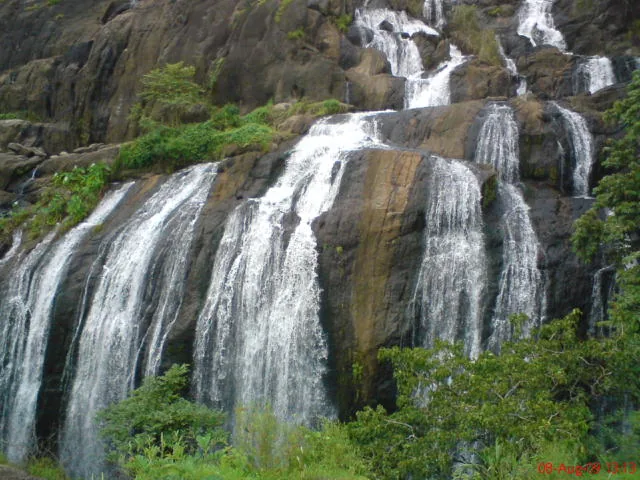
The sanctuary exists because the two reservoirs share more than a tourism label. It protects their forested catchments across the western foothills of the Nelliyampathy landscape. Streams, slopes and vegetation hold water before it reaches either reservoir, so a trek reads the working watershed rather than simply joining two dam walls.
Elevation rises from roughly 45 metres to around 900 metres. Kerala Tourism describes moist-deciduous, semi-evergreen and evergreen forest across that range, along with orchids and medicinal plants. The changes are gradual on the ground: leaf density, shade, moisture and tree form shift with height and exposure rather than at a signboard.
Ponmudi is the sanctuary’s high country, not the familiar Ponmudi hill station near Thiruvananthapuram. The repeated name can misdirect image searches and travel plans. Nothing in the current public material proves that a summit trek to this Ponmudi is operating, so it remains a geographical reference rather than a promised itinerary.
Peechi–Vazhani Wildlife Sanctuary was established in 1958 by bringing together the Pattikad, Machad and Peechi forest ranges. Tourism sources often describe it as Kerala’s second-oldest sanctuary, while current official lists place same-year sanctuaries in different orders. The secure fact is the year; the rank is best left attributed rather than treated as a contest.
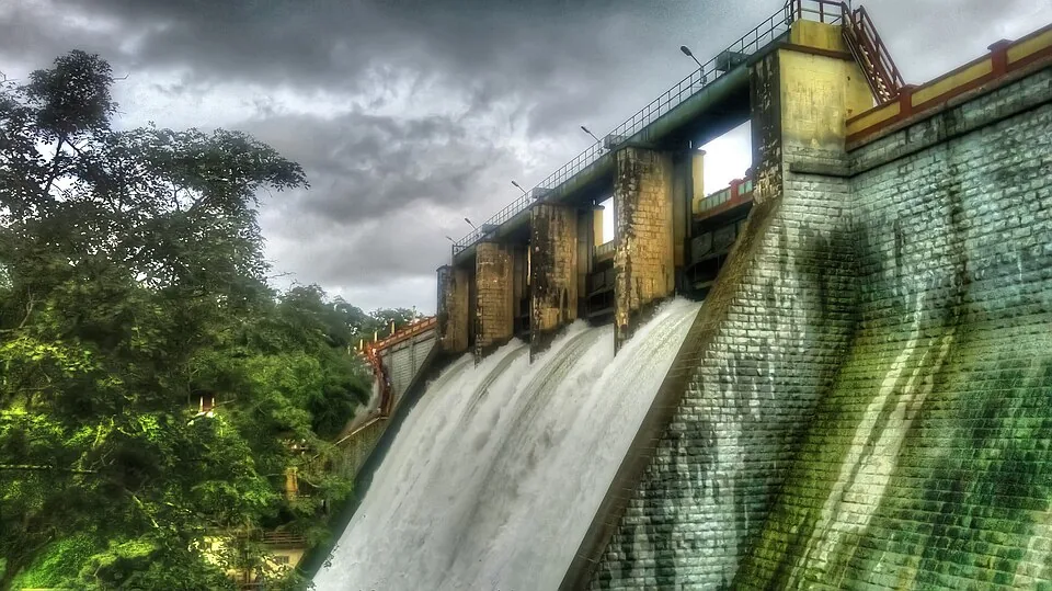
Vazhani’s earthen dam was completed in 1962, after the sanctuary’s establishment. Its garden, reservoir edge and hanging bridge belong to the public dam visit. They can frame the start or end of a day, but crossing a bund or strolling a garden is not completion of a guided forest route.
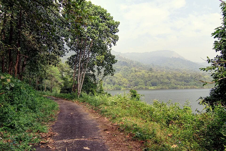
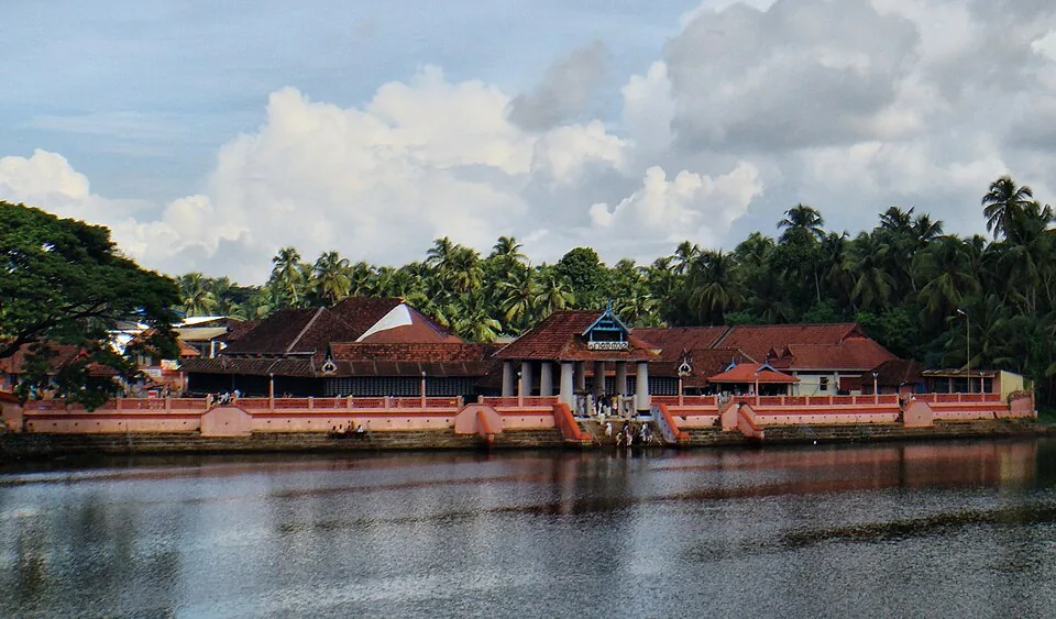
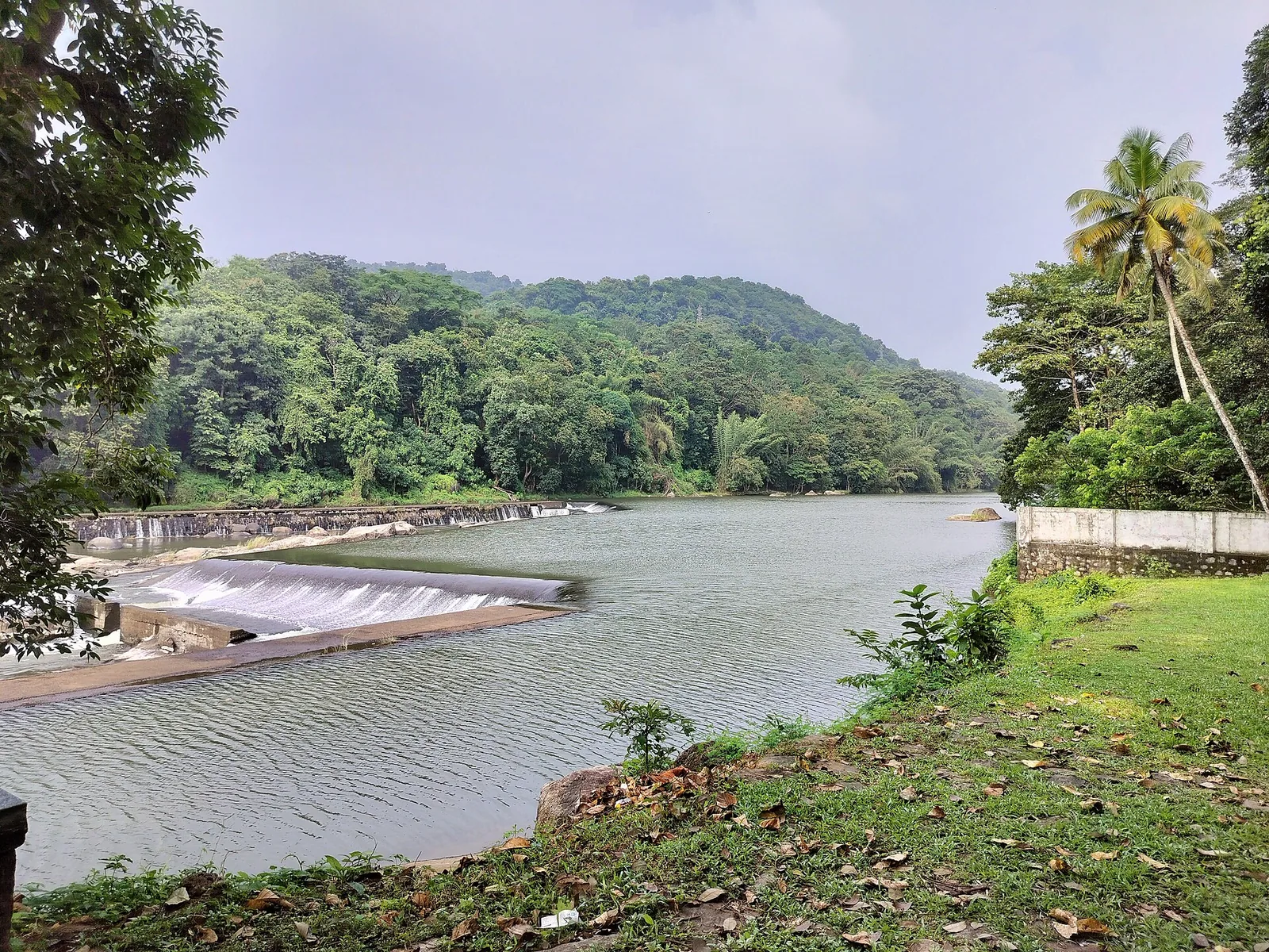
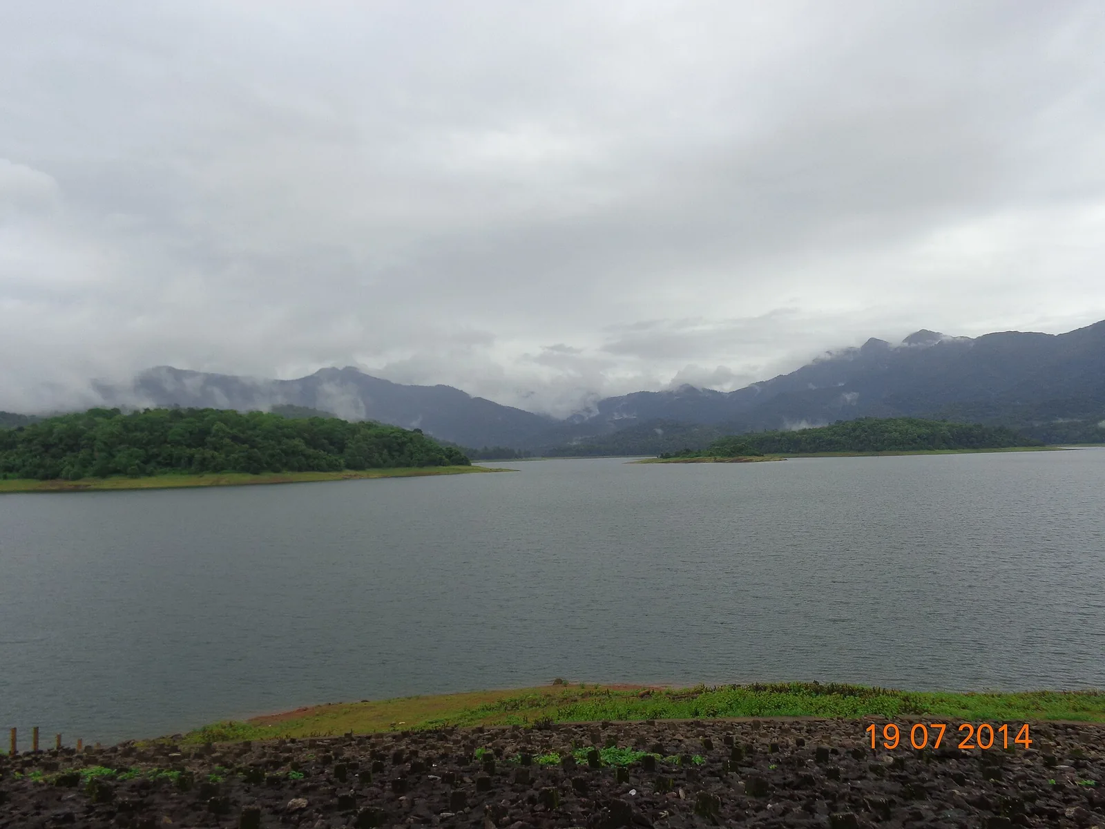
The Peechi side has its own reservoir, garden and public outing. Calling both halves “the trek” erases the most useful distinction: dam recreation happens at accessible edges, while sanctuary walking is controlled. A photograph of open water explains the catchment but cannot prove which trail is available.
Wildlife belongs to the habitat, not to the itinerary. Gaur, elephants, sambar, spotted deer and many birds are recorded in the sanctuary, but Elephant Saga and Bison Trail are route names rather than sighting warranties. The guide may respond to fresh animal movement by slowing, turning back or changing the line.
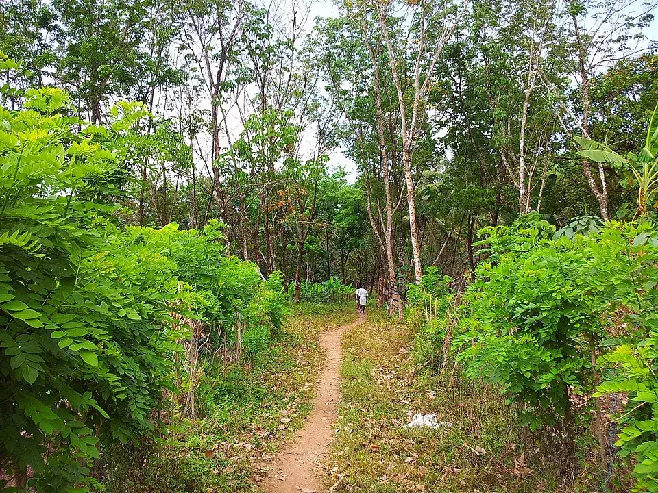
The visible landscape around Peechi also includes inhabited and cultivated edges. Photographs show paths passing banana plots, streams and rubber rows before deeper wooded slopes. Describing every green frame as untouched rainforest would hide how settlement, plantation and protected catchment meet around the sanctuary boundary.
A 2010 Forest Department table lists old admission amounts and historic activities. Sixteen years later it is valuable evidence that trekking and nature camps existed, not a live tariff. No current official trek fee was found, so the page refuses to promote the old ₹20 admission as today’s guided-walk price.
Office hours and trek hours are also different facts. The Forest directory publishes contact windows of 10:00–13:15 and 14:00–17:00. Those are the times to reach the division office, not suggested departure times. A long forest crossing would normally require a much earlier operational plan set by staff.
The most useful call has five questions: which named route is running, where does the party report, what is the current total and minimum group, how long will it take, and how does the group return from the far roadhead? A clear answer converts a historic route description into a real day plan.
Peechi–Vazhani rewards a traveller who keeps its layers separate: two reservoirs, one protected catchment, four named local routes, a historically described crossing and a current access decision. The landscape is coherent; the tourism products are not interchangeable.
Legend & myth
Peechi and Vazhani are not adjacent dam gardens joined by an unrestricted public path. The hyphen names one sanctuary across two catchments; any crossing or local trail remains a guided, currently confirmed Forest Department activity.