What to expect
Highlights
- Trek route around Banasura Hills
- Western Ghats landscapes and viewpoints
- Guided operator and permit planning
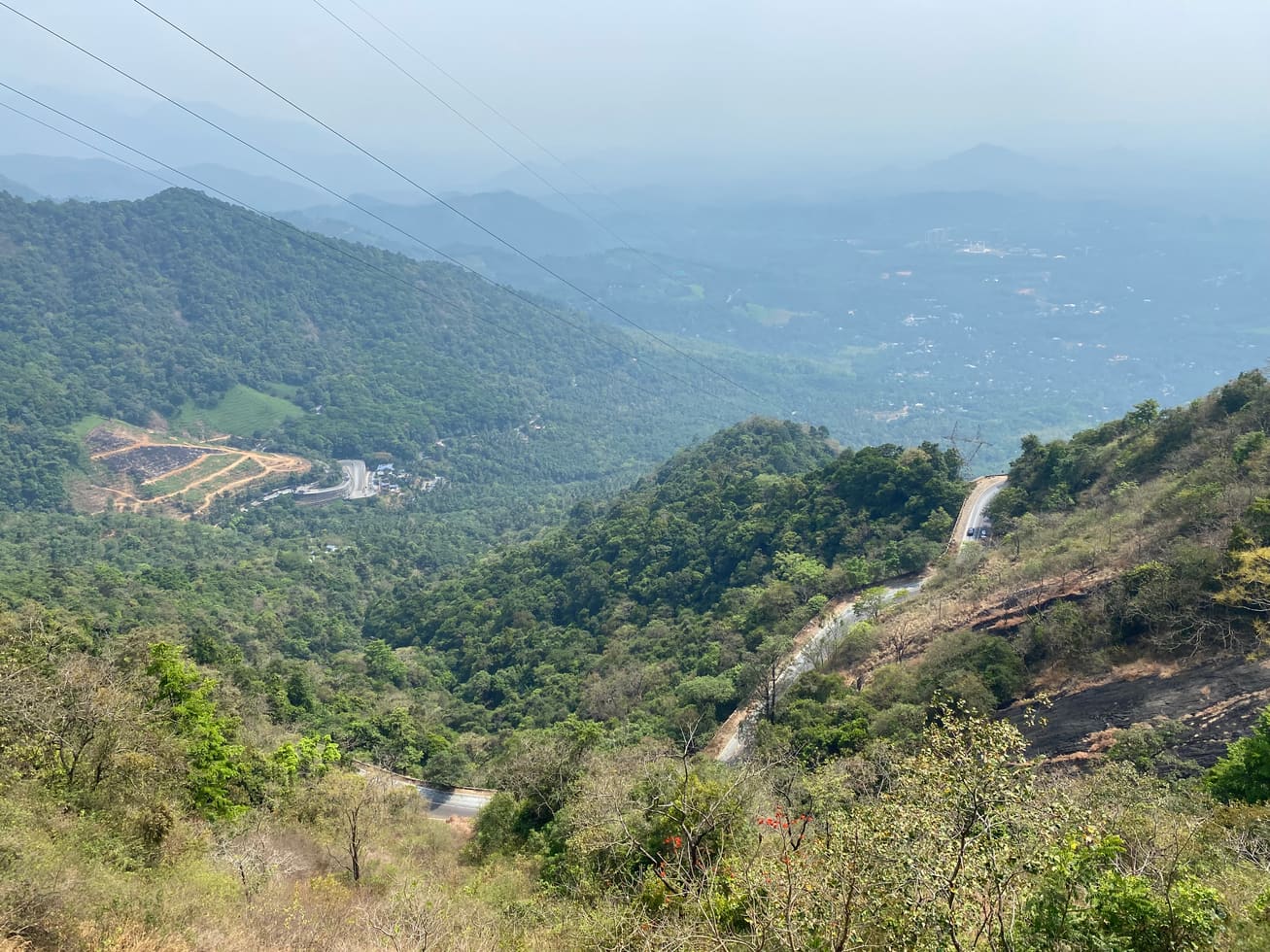
Highland trek and viewpoint landscape above the Banasura reservoir side; access and permissions should be checked locally.
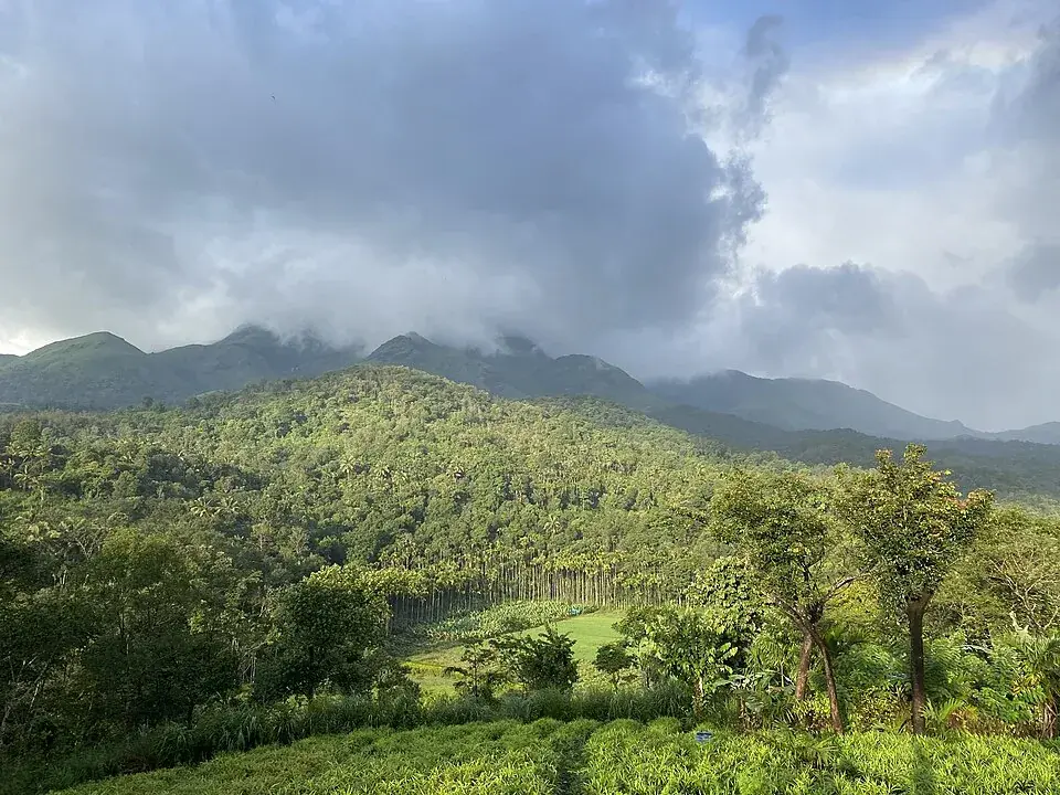
Rising in muscular green folds above the Padinjarathara valley near Kalpetta, the Banasura Hills carry the name of a Puranic asura king — and hold, at their feet, one of India’s most storied dams and a reservoir dotted with islands that appear only when the water is high. It is a place where legend, engineering and raw Western Ghats wilderness sit side by side: a strenuous peak trek for the fit, a speedboat skim across a sky-mirroring reservoir for everyone else, and a name that ties Wayanad to the age of gods and demons.
The range takes its name from Banasura, the thousand-armed asura king of Sonitapura in Puranic legend, and Wayanad folklore holds that he performed a long and severe penance to Lord Shiva somewhere on these very heights. That thread of belief — an asura seeking the favour of the destroyer-god on a lonely summit — is what fixed his name to the hills, to the peak, and eventually to the reservoir that now pools beneath them.
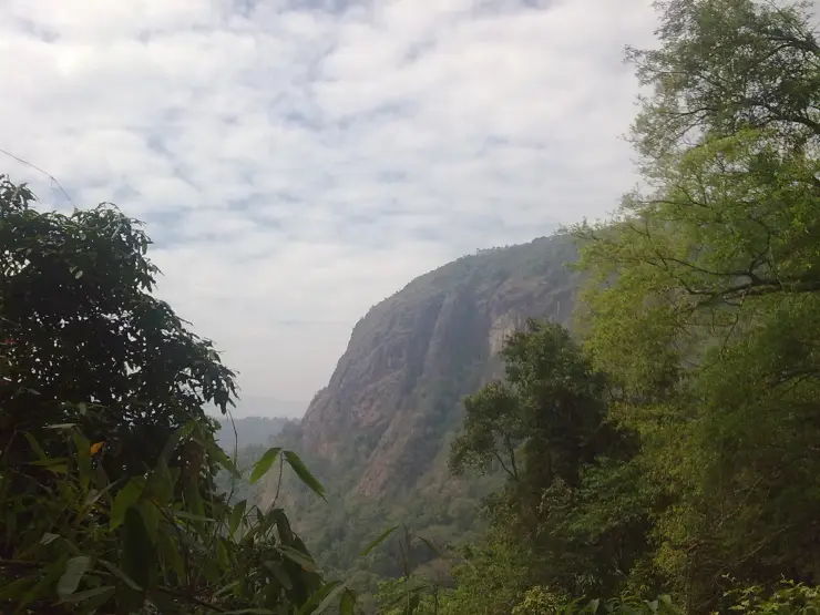
Banasura Peak itself, the second-highest in Wayanad after Chembra, is the dramatic heart of the range. It is often quoted at around 2,073 metres, roughly 6,800 feet, and the ascent is a proper day’s work: grassy shola slopes, wind-combed ridgelines, patches of stunted montane forest and, near the top, a cave that local guides link to the Banasura legend. From the summit the whole Padinjarathara basin opens out, the reservoir a bright shard of blue far below.
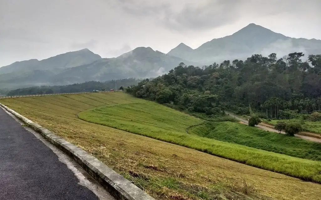
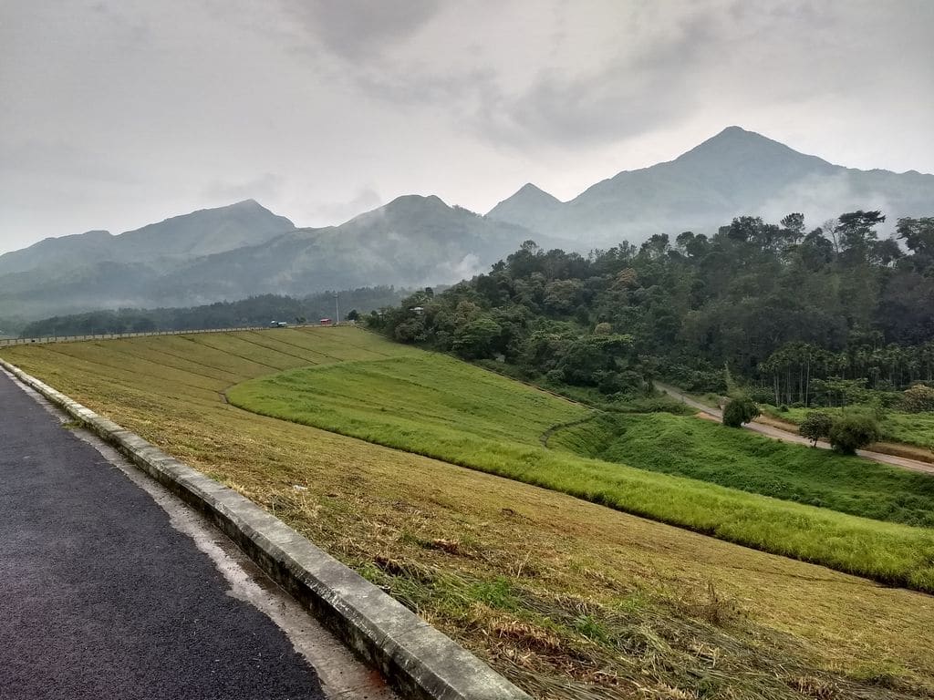
At the base of the hills lies Banasura Sagar Dam, thrown across the Karamanathodu — a tributary of the Kabini — and completed in 1979. It is widely described as the largest earthen (earth-fill) dam in India and among the largest in Asia (often cited as such — confirm locally), a vast, grassed-over embankment of soil and rock rather than a wall of concrete. Its stated height is around 48–49 metres with a length of roughly 1.6 kilometres.
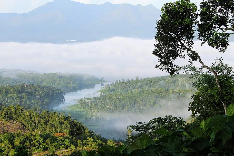
The reservoir behind it is the range’s signature spectacle. When the water rises, the tops of submerged hillocks are left standing as a scatter of little green islands across the blue — a view that has made the dam one of Wayanad’s most photographed spots. Speedboats, pedal boats and other craft ferry visitors out among these islets, and the surrounding hills throw a moody, ever-shifting backdrop of cloud and light.
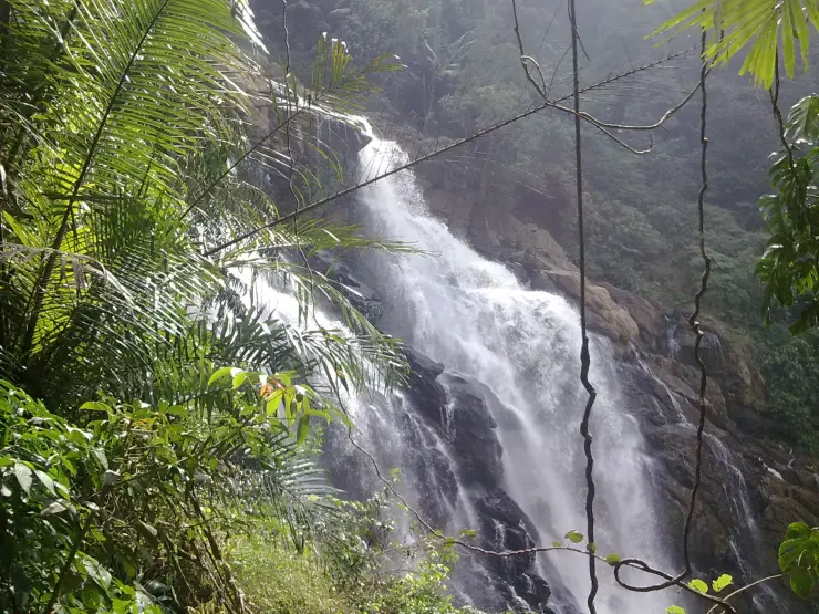
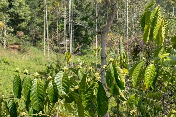
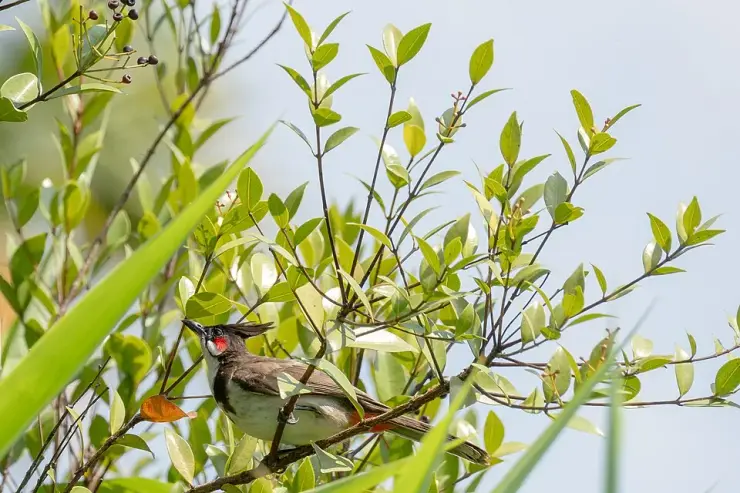
The wider Banasura tract is also a gateway to some of Wayanad’s finest water and forest country. Meenmutty Falls — reckoned among the largest waterfalls in the district — lies within trekking reach of the same forest belt, and the slopes carry the streams, wildflowers, birdlife and occasional wildlife of the Western Ghats, a recognised global biodiversity hotspot. Coffee, tea and spice estates fringe the approach roads, so even the drive in is quietly beautiful.
Put together — myth on the summit, engineering at the base, islands on the water and waterfalls in the forest — the Banasura Hills give Wayanad one of its most complete days out: equal parts pilgrimage of the imagination, gentle family outing and hard-earned trekker’s reward.
In the Puranas, Banasura is the eldest of the hundred sons of the righteous asura king Mahabali — the same Mahabali whom Malayalis welcome home each Onam. A thousand-armed warrior and an ardent devotee of Shiva, Banasura ruled Sonitapura, and legend credits him with fierce penance on these hills to win the god’s protection; Wayanad tradition points to the peak and its summit cave as the place of that austerity.
The tale that gives the legend its heart is the love of Banasura’s daughter, Usha, for Aniruddha — grandson of Lord Krishna. As the story is told, Usha dreamt of a handsome youth and pined for him; her companion Chitralekha, gifted in the arts, sketched face after face until Usha recognised Aniruddha, and Chitralekha spirited him by night into the guarded palace. When Banasura discovered the prince within his walls he had him bound, and Krishna marched on Sonitapura to free his kinsman.
In the war that followed, Krishna is said to have shorn away Banasura’s thousand arms — sparing his life only when Shiva, honouring his devotee, intervened to plead for him — after which Usha and Aniruddha were united. Framed as legend and Puranic myth rather than history, it is this story of a father’s pride, a daughter’s longing and a god-versus-god reckoning that Wayanad still hears in the name of these hills.
Long before it became a tourism landmark, this corner of Wayanad was estate-and-forest country on the high Western Ghats plateau, its economy shaped by coffee, tea, pepper and cardamom and its slopes home to Adivasi communities and Ghats wildlife. The Banasura name, carried down through oral legend, marked the range on the mental map of the region long before any dam existed.
The modern chapter opens with the Banasura Sagar project, part of the wider Kakkayam / Kuttiadi hydro-and-irrigation scheme drawing on the Kabini river system. The earthen dam across the Karamanathodu was completed in 1979, built to store water for irrigation, drinking supply and hydroelectric generation downstream rather than as a tourist attraction.
As an earth-fill (embankment) dam — a graded mass of compacted soil and rock rather than a concrete gravity wall — Banasura Sagar drew engineering attention in its own right, and is routinely described as the largest earthen dam in India and one of the largest in Asia (often cited as such — confirm locally). Its long, green-turfed bund became an unlikely walking promenade with reservoir views on one side and valley on the other.
It was the filling of the reservoir that turned the site into a destination. As water backed up behind the bund, low hills drowned to leave only their crowns exposed — the islands that now define the postcard view — and boating operations, viewpoints and a small tourism ecosystem of guides, drivers and eateries grew up around it, today run under the eye of Kerala’s tourism and irrigation authorities.
In recent decades the Banasura tract has been woven into Wayanad’s wider adventure-and-nature circuit — peak trekking under forest-department control, waterfalls, ziplines and speedboating — while remaining, at heart, a working dam on a fragile stretch of the Ghats, mindful of monsoon flood risk and conservation limits.
The island-dotted reservoir is the headline: when levels are high, the flooded hilltops stand as green islets across a sheet of blue water framed by the hills — one of the most distinctive and photogenic scenes in all of Wayanad.
Speedboating and other water rides let almost anyone — families, older travellers, first-timers — get out onto that reservoir and in among the islands, making the site rewarding even for those who will never attempt the peak.
For fit trekkers, Banasura Peak offers one of Wayanad’s great summit walks: grassland ridges, shola pockets, a legend-soaked cave and a top-of-the-world panorama over the reservoir and the surrounding Ghats.
The legend layer gives the whole place a resonance few dams can claim — the asura king Banasura, his penance, and the Usha–Aniruddha love story that pulled Krishna into war — turning a walk on the bund into a stroll through the Puranas.
It sits at the centre of a rich day-trip cluster: Meenmutty Falls, Padinjarathara, coffee and spice estates, and easy reach of Kalpetta, so the dam pairs naturally with waterfalls, plantations and other Wayanad sights.
And it delivers pure Western Ghats atmosphere — cool plateau air, drifting cloud, birdsong and big green horizons — the kind of restorative hill-country day that draws people to Wayanad in the first place.
Road km to Wayanad; ghat roads and traffic vary — allow extra.
Post-monsoon to late winter is usually best; avoid heavy-rain days and closed forest periods.
Live forecast loads in your browser.
Check the official alert before you travel. Kerala’s beaches, waterfalls and trekking routes close at short notice during heavy rain, and district alert levels change day to day. We do not publish an alert level of our own — read it from the state authority: Kerala State Disaster Management Authority, or the district control room on 1077.
Sun and moon are calculated for this location and shown in IST. Photography windows are the hour around sunrise and sunset; the sunset bearing is degrees clockwise from true north. Moon phase is accurate to about half a day.
Verified hotels, homestays, restaurants, experiences, sights, shops and rentals around Banasura Hills — commission-free, with direct contact. Filter by what you need.
Hotel Haritagiri Ayurveda treatment facility on Kalpetta Main Road with Kerala Tourism evidence. Ayurveda, Spa, Wellness.
Kalpetta town Ayurveda/spa facility inside Green Gates Hotel with provider-page evidence. Ayurveda, Spa, Wellness.
Kerala Tourism source for DTPC-run Karlad Lake adventure activities. Karlad Lake, Adventure camp, DTPC Wayanad.
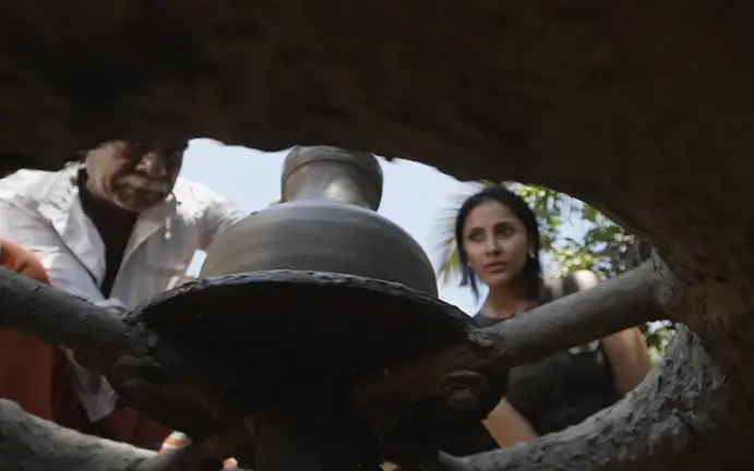
Kerala Tourism source for Wayanad village-life and responsible-tourism experiences. Responsible tourism, Village life, Tribal craft.
Wayanad Cab is a Kalpetta-based taxi provider for airport pickups, railway transfers, sightseeing tours, local travel and outstation routes. Wayanad cab, Airport transfer, Sightseeing taxi.
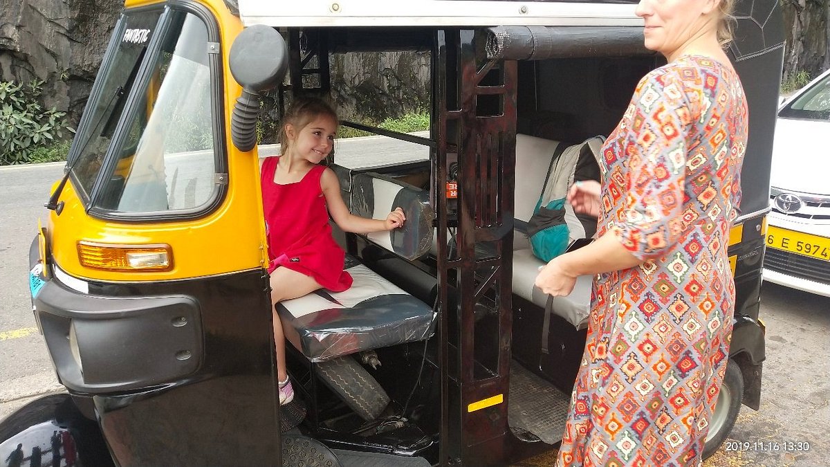
Wayanad Auto Taxi is a Kalpetta-based local taxi and itinerary support provider for pickups, sightseeing and Wayanad road transfers. Kalpetta taxi, Wayanad transport, Sightseeing.
Banasura Sagar Dam is a major Kalpetta-side Wayanad reservoir attraction with official DTPC contact, entry-time and Kerala Tourism destination evidence. Banasura Sagar Dam, Padinjarathara, Reservoir.
Official KSRTC Kalpetta branch contact for Wayanad bus-route planning. Public transport · Bus, KSRTC, Transport.
Padinjarathara/Kalpetta-side Wayanad taxi service for sightseeing, airport transfers and outstation rides.
Official Wayanad district tourism office at Civil Station, Kalpetta North. Official information · DTPC Wayanad, Official tourism, District planning.
Book with the place itself. India’s cyber-crime coordination centre warned in April 2025 that convincing copies of hotel and pilgrimage booking sites are being pushed through sponsored search and social ads, taking payment for rooms the property never hears about. Every listing here links to the business’s own contact details and its own Google or Bing profile — we take no commission and sit in nobody’s payment path. If a booking page reached you through an ad, check the address bar against the property’s own site before you pay. Fraud can be reported on cybercrime.gov.in or on 1930.
Find food, accommodation and activities across Kalpetta. Browse the guides for places to eat, stay and explore along your route.
13 more places around Kalpetta. Open a guide to plan the visit and onward journey.
2.2 km · 27 min walk
Large earth-fill dam with mountain views and reservoir activities, usually planned from Kalpetta or Vythiri with current activity checks.
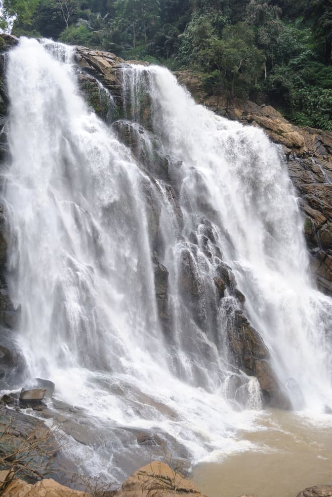
The closed Meppadi–Vaduvanchal waterfall, also listed as Meenmutty Falls trek. The map marks Vaduvanchal bus stand for town orientation, not an open waterfall entrance. Banasura Meenmutty is a different site.
1.2 km · 15 min walk
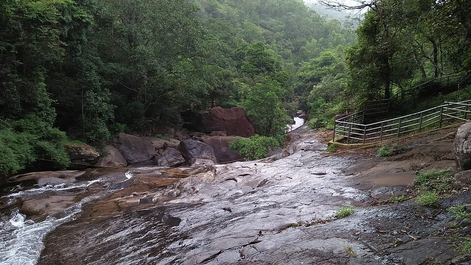
The Banasura-side Meenmutty at Kappikkalam, five kilometres from Banasura Sagar Dam—not the Meppadi or Makkiyad waterfalls with the same name.
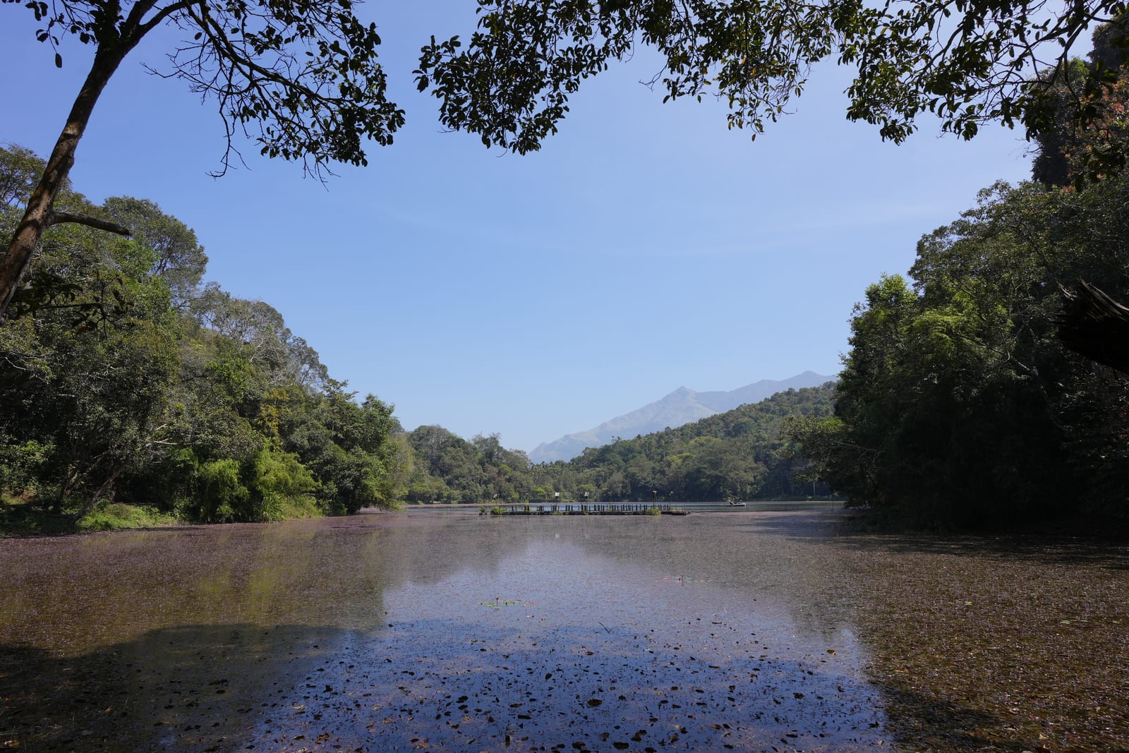
Freshwater lake near Vythiri/Lakkidi, commonly paired with the ghat entrance and En Ooru side.
7.7 km · ~19 min by auto
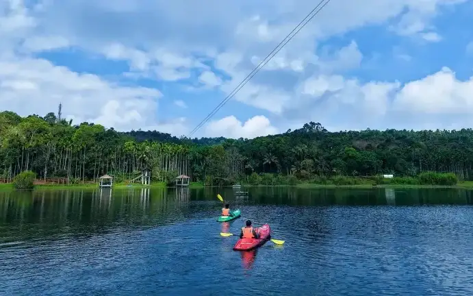
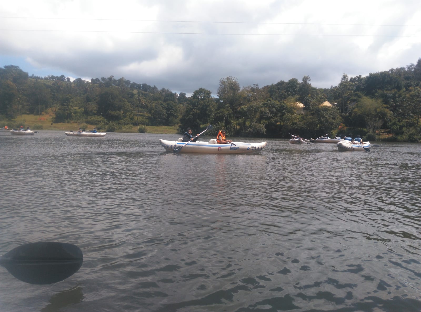
Banasura-side adventure lake used for kayaking, zipline and family activity planning when open.
17.2 km · ~29 min by cab
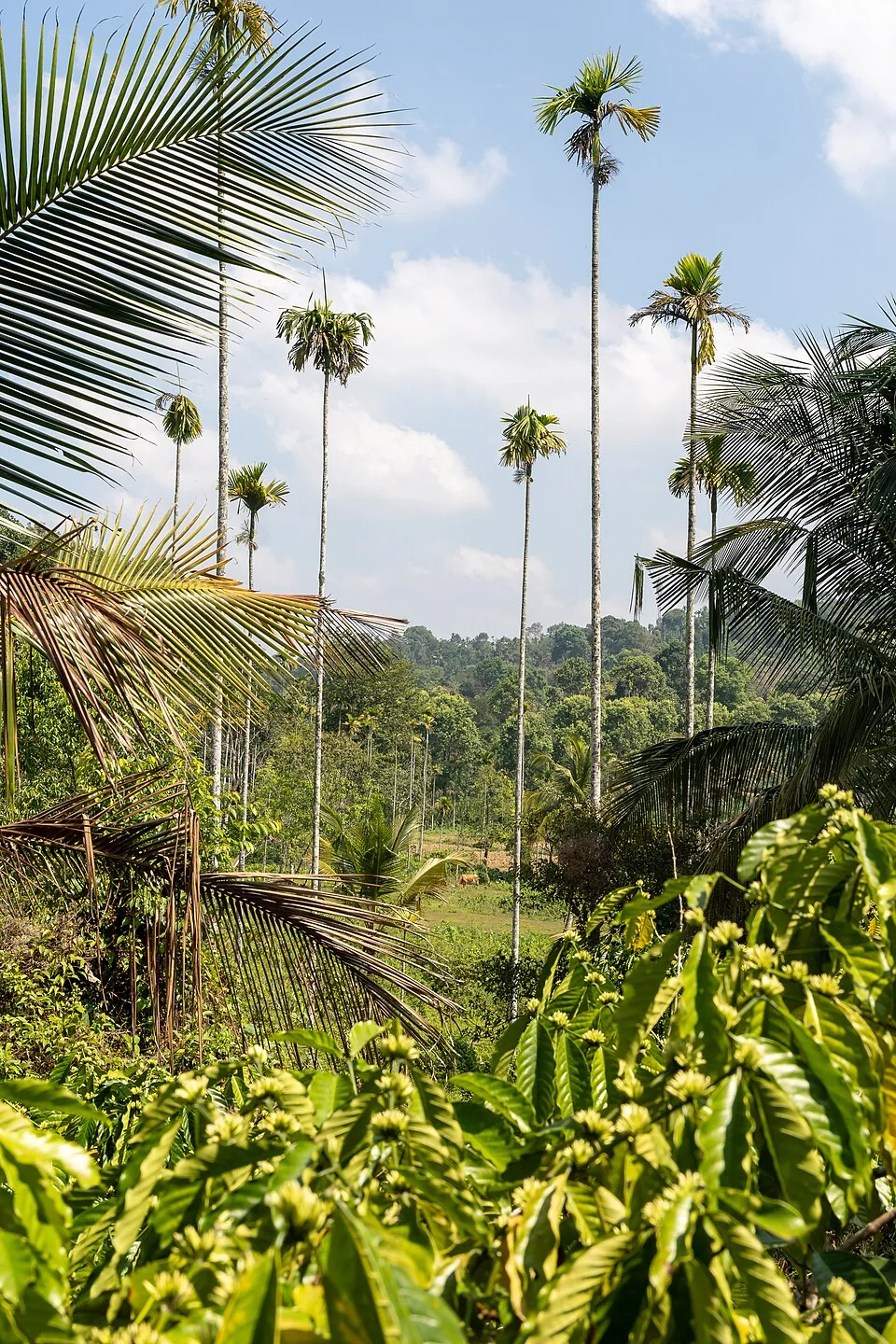
A distributed, working coffee landscape rather than one ticketed attraction: arrange an estate walk with a host, farm or accredited operator, and use Kalpetta town as the honest visitor base.
16.2 km · ~27 min by cab
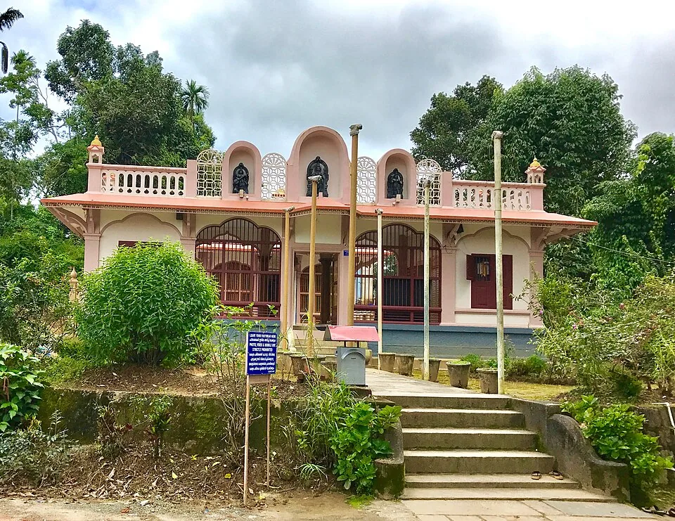
The Anantnath Swami temple at Puliyarmala near Kalpetta — the quieter, living Jain shrine of Wayanad, often paired with the conserved basti at Sulthan Bathery.
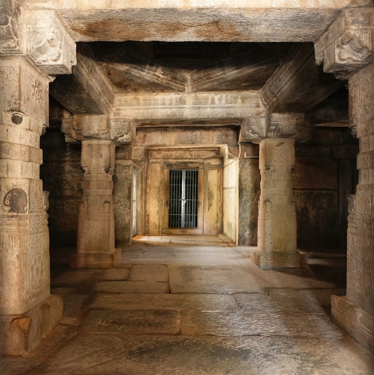
Sulthan Bathery Jain temple with old stone architecture and east-Wayanad heritage context.
8.8 km · ~15 min by cab
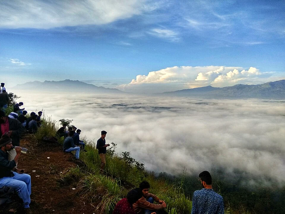
A walked hill viewpoint in the Kottathara area of Wayanad, known for dawn cloud below the ridge and wide daylight views over fields and wooded hills.
1.7 km · 21 min walk
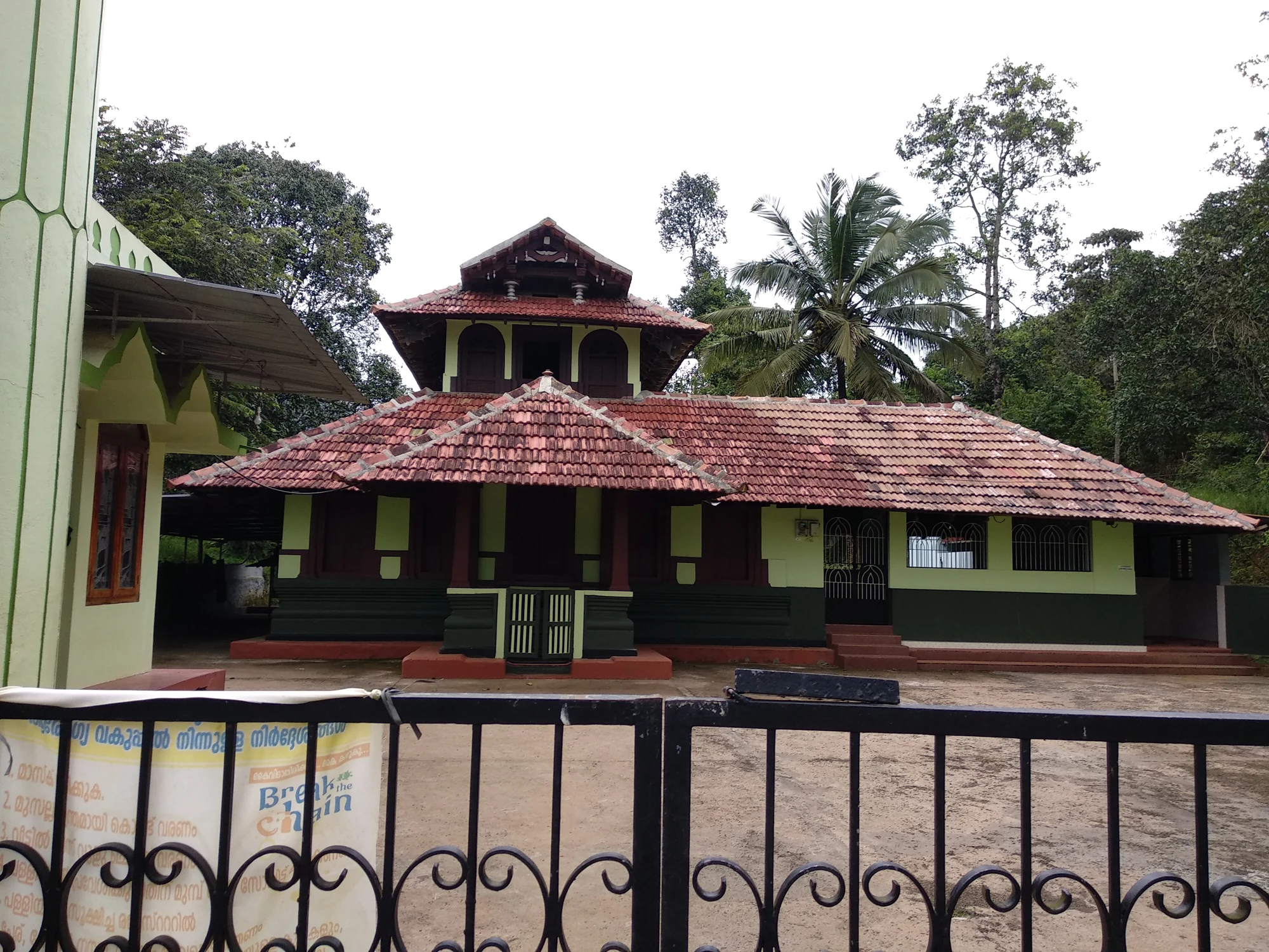
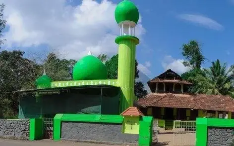
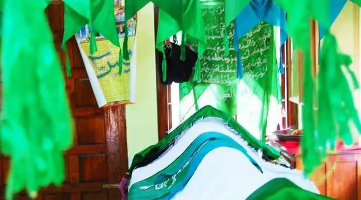
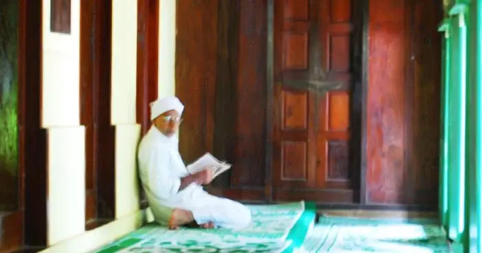
The Varambetta mosque and maqaam complex near Padinjarathara in Wayanad, with a tiled timber shrine, a neighbouring domed prayer building and a documented annual Nercha gathering.
12.1 km · ~20 min by cab
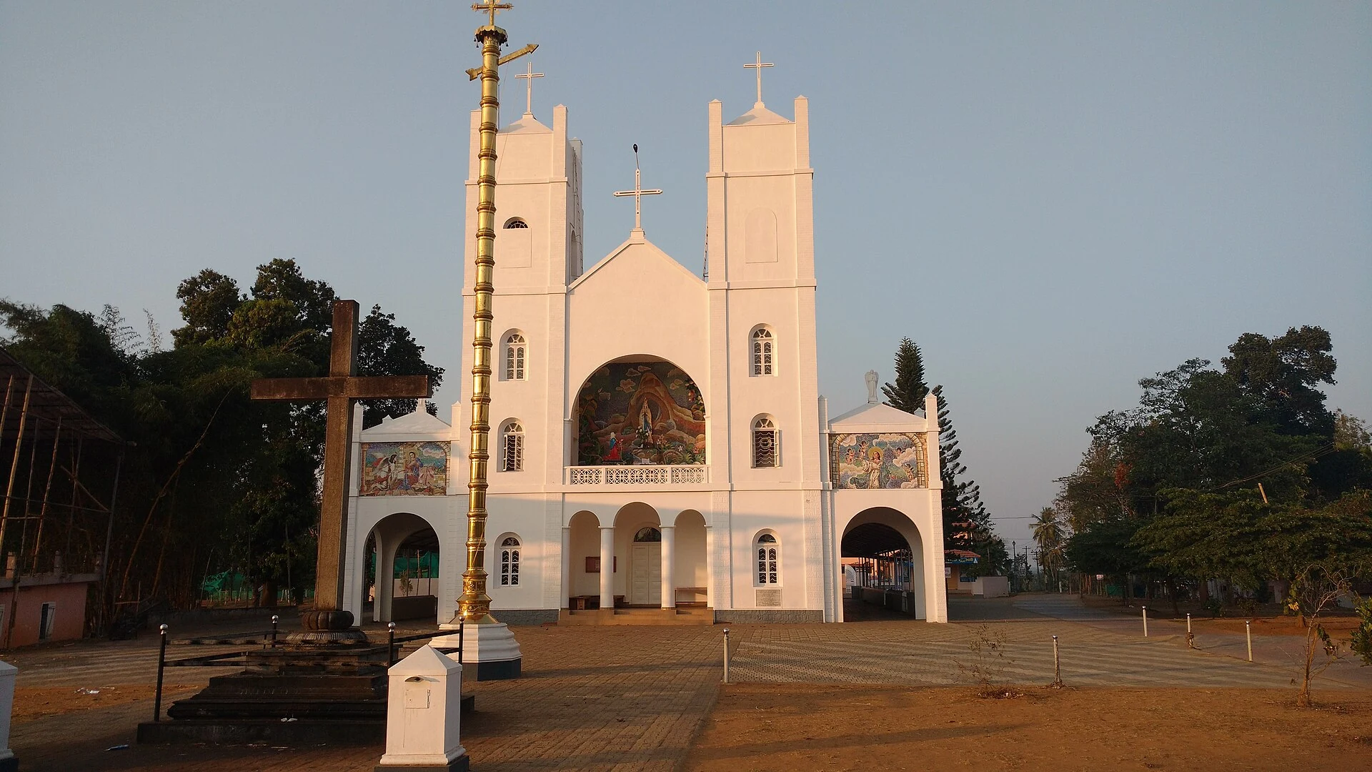
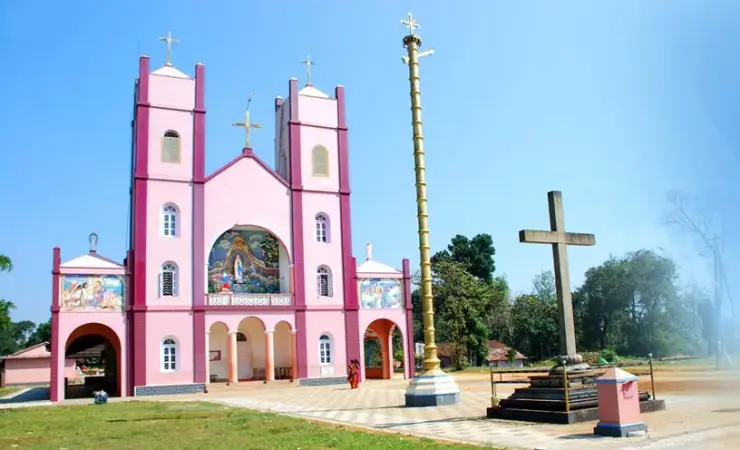
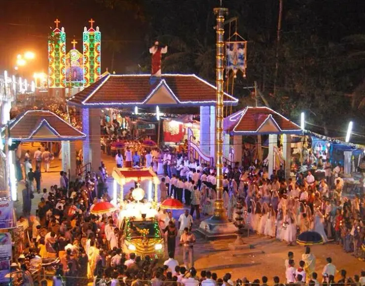
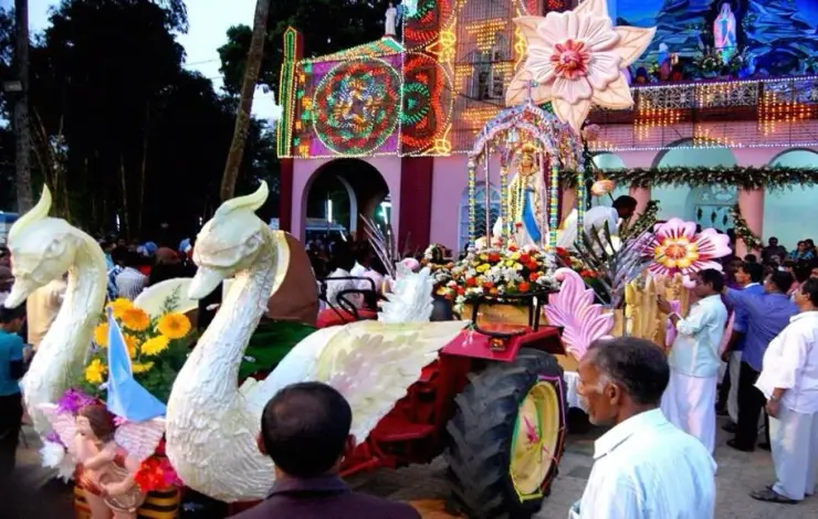
Our Lady of Lourdes shrine at Pallikkunnu in Wayanad, a Latin Catholic church of the Archdiocese of Calicut known for its twin-tower facade, February feast and local devotional customs.
Roampedia is commission-free — own or know a stay, eatery, guide or shop near Banasura Hills? List it and it appears here once verified.
Add a nearby businessEntry: A modest entry ticket typically applies at the dam, with separate charges for parking, the shuttle/jeep to the dam base and each boating ride; peak trekking carries its own permit and guide fees.
Dress code: No formal dress code; modest, comfortable clothing and good footwear are sensible. For the peak trek, wear proper trekking shoes and carry a light rain layer, sun protection and water, as conditions on the ridge change quickly.
Festivals: There is no single temple festival tied to the dam itself; the wider region observes Onam — the harvest festival linked to Mahabali, Banasura’s father — with particular warmth, and the cool tourist season overlaps with the post-monsoon travel peak.
Photography: Cameras and phones are generally welcome for personal photography across the dam and reservoir; drones and any commercial shoots usually need prior permission, and restrictions can apply near dam infrastructure (confirm locally).
If you are travelling by bus or ferry, check the return service with the operator before setting out. Leave time to reach the stop or jetty after your visit.
Ask at the bus stand for the time of the last service back, not the next one. If you miss it, an auto or app cab is the fallback — agree the fare before you get in.
If you need step-free access, contact the site before travelling. Ask about a level entrance, steps along the route, the nearest drop-off point, seating and accessible toilets.
These services are listed within about 1.2 km of Banasura Hills. Walking distances follow mapped routes; access and opening hours can change. Other services may be closer but are not included here.
Emergency numbers are verified against official government and state tourism sources. 112 works anywhere in India.
The Banasura-side Meenmutty at Kappikkalam, five kilometres from Banasura Sagar Dam—not the Meppadi or Makkiyad waterfalls with the same name.
1.2 km · 15 min walk · straight lineThe Varambetta mosque and maqaam complex near Padinjarathara in Wayanad, with a tiled timber shrine, a neighbouring domed prayer building and a documented annual Nercha gathering.
1.7 km · 21 min walk · straight lineLarge earth-fill dam with mountain views and reservoir activities, usually planned from Kalpetta or Vythiri with current activity checks.
2.2 km · 27 min walk · straight lineBanasura-side adventure lake used for kayaking, zipline and family activity planning when open.
7.7 km · ~19 min by auto · straight lineA walked hill viewpoint in the Kottathara area of Wayanad, known for dawn cloud below the ridge and wide daylight views over fields and wooded hills.
8.8 km · ~15 min by cab · straight lineOur Lady of Lourdes shrine at Pallikkunnu in Wayanad, a Latin Catholic church of the Archdiocese of Calicut known for its twin-tower facade, February feast and local devotional customs.
12.1 km · ~20 min by cab · straight line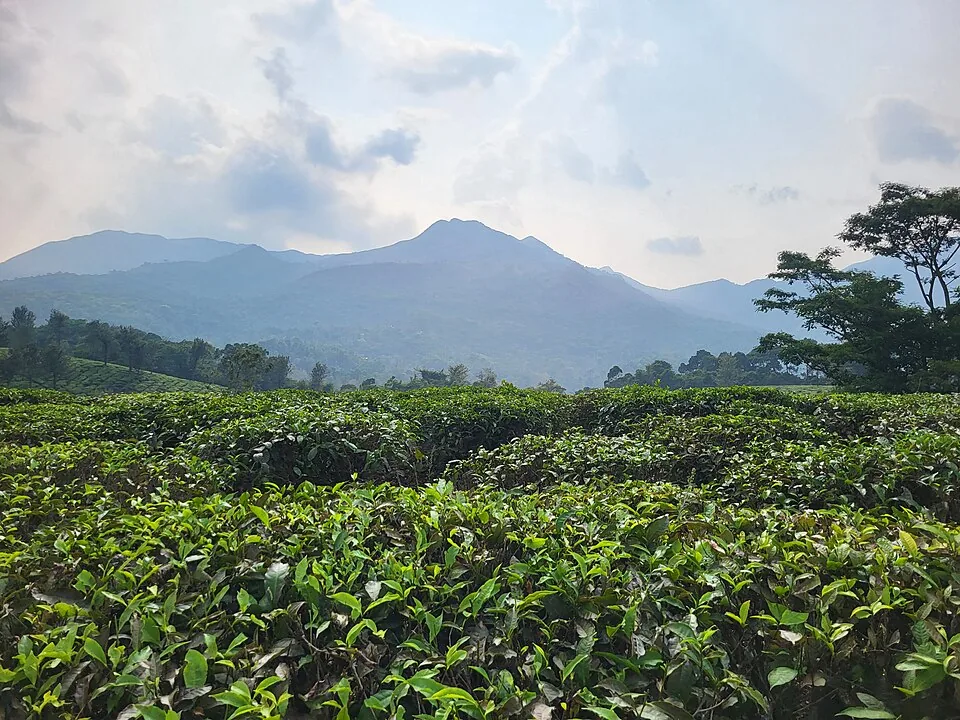
Harrisons Malayalam’s three-storey tea museum in its 1911 former factory at Achoor, with separately scheduled museum, tasting, working-factory and garden visits.
12.3 km · ~20 min by cab · straight line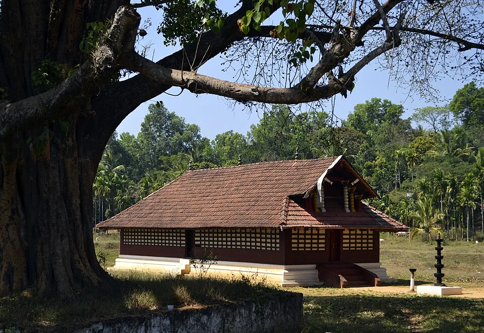
Important Mananthavady-side Bhagavathy temple known for festival and local cultural context.
14.2 km · ~24 min by cab · straight line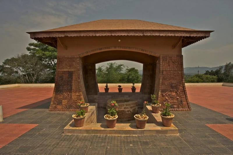
Pazhassi Raja’s memorial and the Kerala Archaeology Department museum at Mananthavady’s Hospital Hill, with four galleries connecting the resistance leader, Wayanad’s communities and the district’s material history.
14.3 km · ~24 min by cab · straight lineThe Anantnath Swami temple at Puliyarmala near Kalpetta — the quieter, living Jain shrine of Wayanad, often paired with the conserved basti at Sulthan Bathery.
16.2 km · ~27 min by cab · straight lineA distributed, working coffee landscape rather than one ticketed attraction: arrange an estate walk with a host, farm or accredited operator, and use Kalpetta town as the honest visitor base.
17.2 km · ~29 min by cab · straight line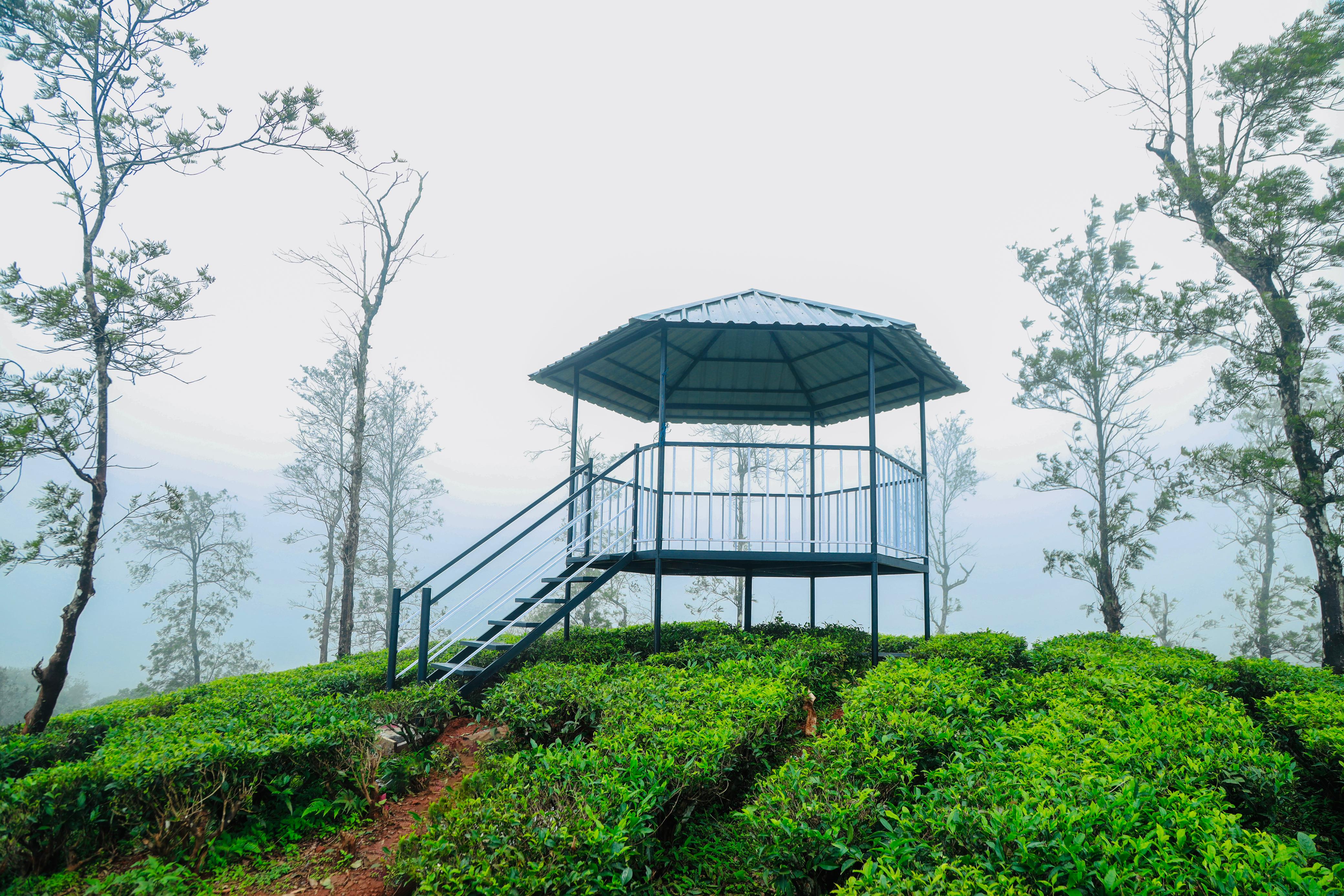
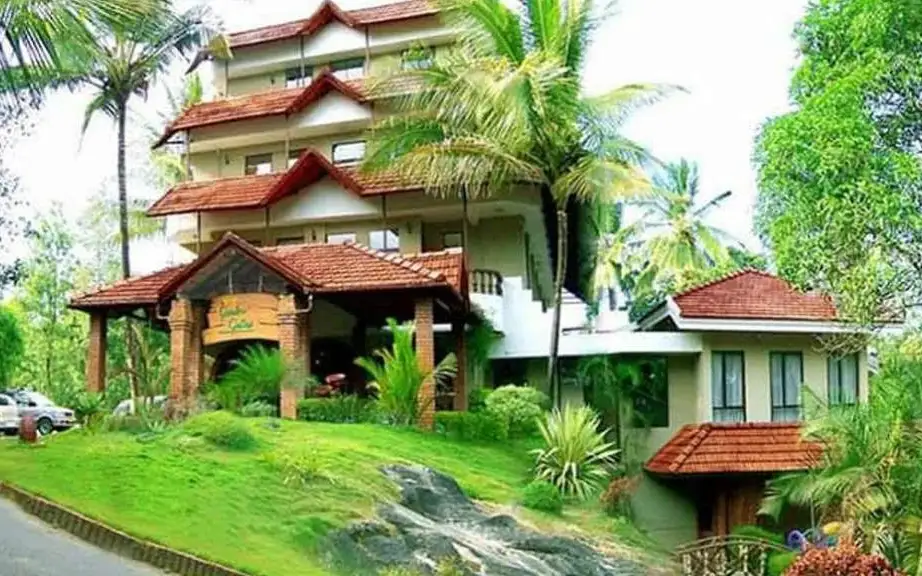
KFDC’s Camellia Eco Cottages stay inside its working Kambamala tea estate, with guided plantation and forest-edge activities arranged as part of the programme.
17.3 km · ~29 min by cab · straight lineNearby toilets, pharmacies, ATMs, seating and vets are community-mapped and may be incomplete or out of date. Map data © OpenStreetMap contributors | Walking times © openrouteservice.org by HeiGIT
The range is named for Banasura, the Puranic asura king and son of Mahabali, whom legend says performed severe penance to Lord Shiva on these heights. His daughter Usha’s love for Aniruddha — Krishna’s grandson — and the war it sparked are the best-known part of the tale, framed as legend and Puranic myth rather than recorded history.
It is very widely described as the largest earthen (earth-fill) dam in India and among the largest in Asia (often cited as such — confirm locally). It is an embankment of compacted soil and rock across the Karamanathodu, completed in 1979, with a stated height of around 48–49 metres and length of roughly 1.6 kilometres.
It is strenuous — a steep climb of several hours to the second-highest peak in Wayanad — and is best for reasonably fit trekkers. It generally requires prior forest-department permission and a mandatory local guide, and the route can be closed in heavy monsoon (confirm with Wayanad DTPC or the forest office before planning).
Yes — the reservoir is a popular boating spot, with speedboats and other craft taking visitors out among the islands that appear when the water is high. Rides are ticketed separately from dam entry and operate subject to weather and water levels.
The cool, clear months from roughly October to February are generally considered ideal, with pleasant weather and lush green hills, especially just after the monsoon when the reservoir is full and the islands are at their best. Peak trekking is usually avoided during heavy monsoon.
They are part of the same Banasura tract but are distinct experiences. Banasura Sagar Dam, with its bund, viewpoints and boating, is an easy, family-friendly outing; the Banasura Peak trek is a separate, demanding hill climb through forest-department land that needs permits and a guide.
Post-monsoon to late winter is usually best; avoid heavy-rain days and closed forest periods.
Entry: A modest entry ticket typically applies at the dam, with separate charges for parking, the shuttle/jeep to the dam base and each boating ride; peak trekking carries its own permit and guide fees. Timings: The dam and boating area are generally open through the day, commonly cited as roughly 9 am to 5 pm. Peak trekking follows separate forest-department timings and slots.
Base yourself in Kalpetta or a nearby town in Wayanad, then confirm the last-mile route locally before leaving. Confirm permits, guide requirement and reporting point before travel; many Kerala treks are controlled by forest authorities. If the visit depends on forest, temple, boat, ferry, weather or seasonal access, check the official/local rule on the day before travel.
Half day to full day unless officially listed as multi-day.
Nearby you can pair Banasura Meenmutty Waterfalls (1.2 km), Varambetta Mosque (1.7 km), Banasura Sagar Dam (2.2 km), Karlad Lake (7.7 km).
Use approved guides where required. Do not enter closed forest routes or trek in heavy rain.
We have not published a story about Banasura Hills itself yet. These cover Kalpetta and the wider district, with separate journeys between stops.
These guides explore Kalpetta and the surrounding area. Choose a visit that fits your interests, allowing separately for travel between stops.
Written about Kalpetta as a whole rather than about Banasura Hills — its history, its streets, and how to spend a day in it.

Route-level itineraries and practical guides for the rest of Kerala.
Photographs: Vinayaraj (CC BY-SA 4.0), Seena Vinay (CC BY-SA 4.0). Wikimedia Commons.