Banasura Sagar Dam

Banasura Sagar Dam is Wayanad's large earth-fill reservoir landscape near Padinjarathara, backed by the Banasura hills. Travellers come for reservoir views, boating where operating, photos and access to nearby hill routes, with Kalpetta and Vythiri as common bases.

Banasura Sagar Dam, Kalpetta
Practical guide

Plan Banasura Sagar Dam

Who's going?Tailor Banasura Sagar Dam to your trip
Typedam
AreaKalpetta
DistrictWayanad
Best timeOctober to March is easiest for views…
Time needed1.5 to 3 hours
EntryVaries — see below
Places to visit9Listed businesses40

It is also a working dam and hydel landscape, so public access, boating, parking and the viewpoints all depend on official management and on the weather. What you want is a safe driver, a family stay, a food stop — and an operator who does not promise you access to a restricted area.

The story

Cradled in the folds of the Banasura hills near Padinjarathara in Wayanad, Banasura Sagar Dam is a colossal wall of packed earth and rock holding back a shimmering, island-freckled reservoir — reputedly the largest earthen dam in India and among the largest in Asia, and one of the district’s most-photographed sights.

The story of Banasura Sagar Dam

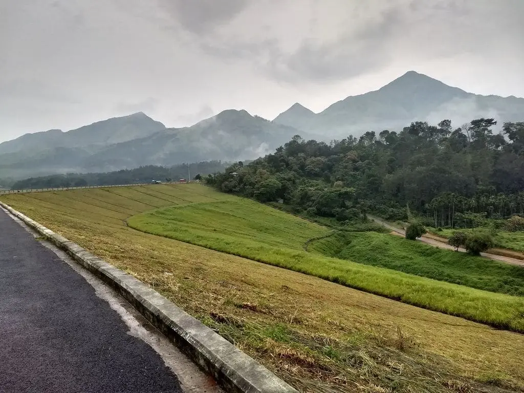
The first thing that strikes most visitors is the sheer scale of the thing. Rather than a soaring concrete arc, Banasura Sagar is a broad, sloping rampart of compacted earth and rubble — an embankment so long and so wide that walking its crest feels less like standing on a dam and more like crossing a green-brown ridge that someone rolled out between two hills. Sources widely describe it as the largest earthen dam in India and the second largest of its kind in Asia; treat the ‘second in Asia’ ranking as the popular local claim rather than a precisely audited fact.

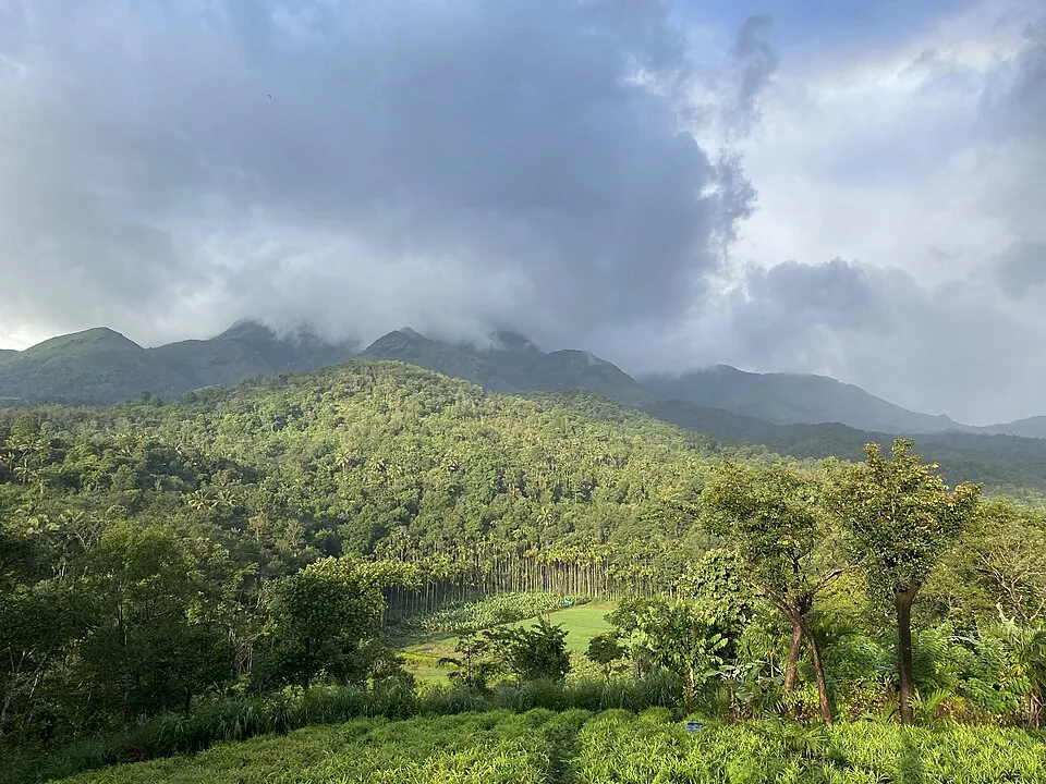
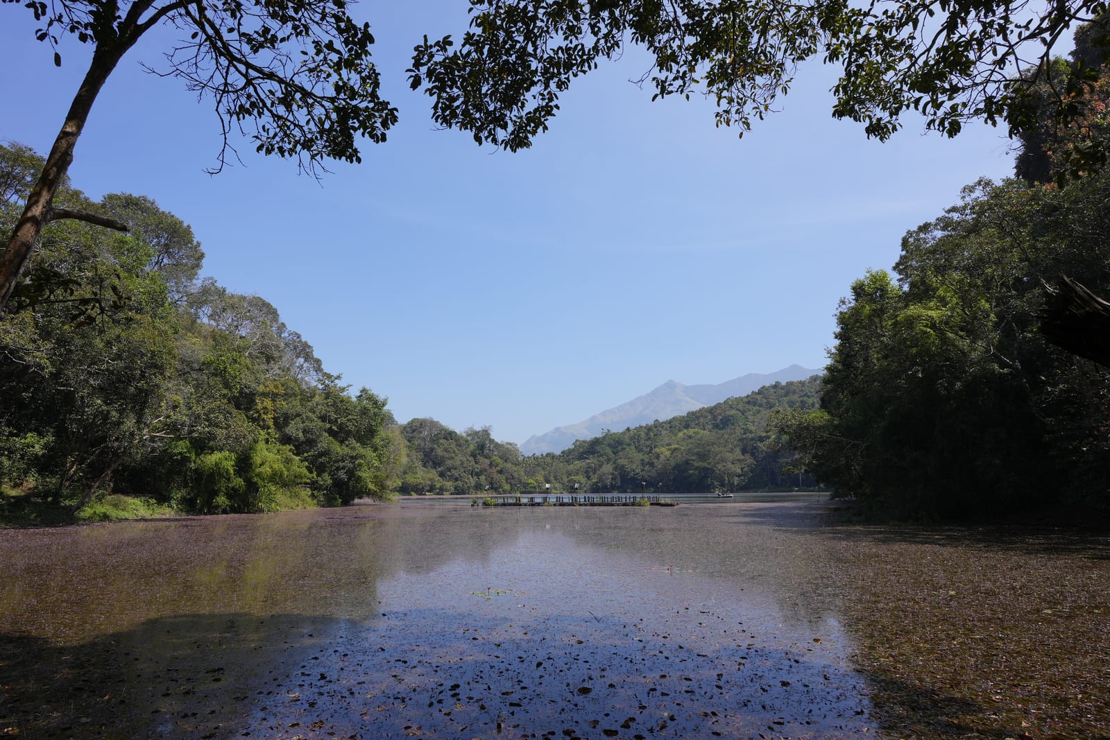
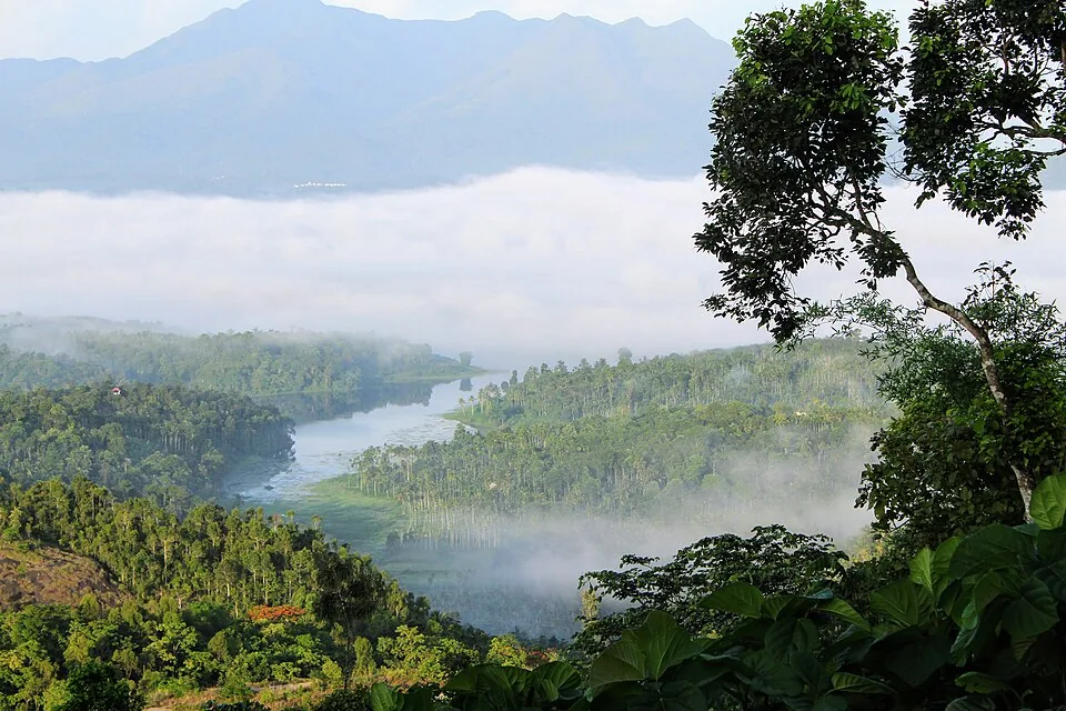
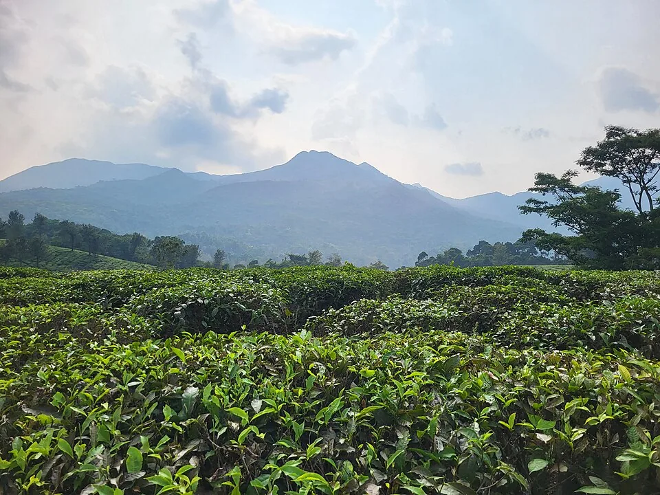
Behind the wall lies the real showstopper. As the reservoir filled, the rising water crept up the flanks of the surrounding hills and drowned the low ground, leaving only the higher knolls standing proud above the surface. The result is a scatter of tiny green islands floating on steel-blue water, with the dark ridge of the Banasura hills rising behind them. On a clear morning, with mist peeling off the ridgeline and the islands mirrored in the still water, it is one of the most quietly cinematic views in Wayanad.

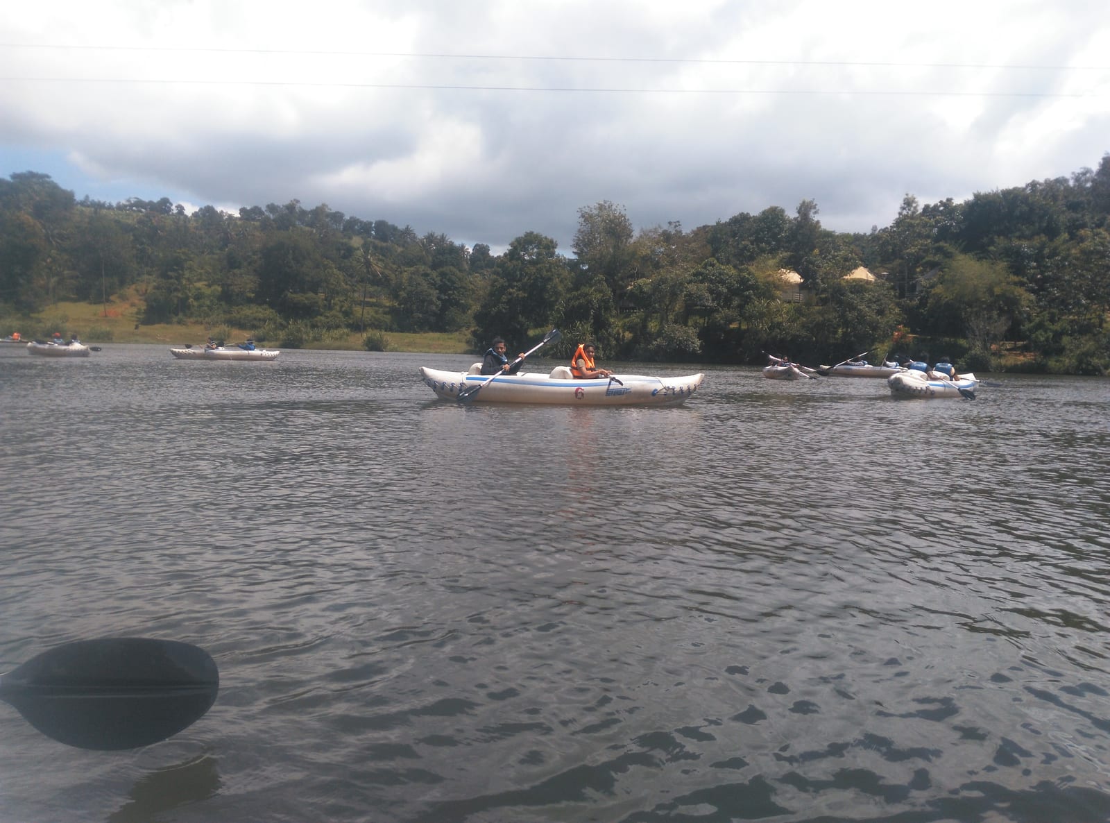
Getting out onto that water is half the fun. Operators run speed-boat rides that skim between the islands in a thrilling few minutes, alongside gentler pedal boats and, at times, other craft for those who prefer to drift. Boarding is usually from a jetty a short walk in from the main entrance — often a pleasant stroll of a kilometre or so through greenery, which itself sets the mood before the water even comes into view.

On land, the site is set up for an easy half-day out rather than a rushed photo stop. There is typically a children’s park, shaded walkways and viewpoints along the embankment, a hanging bridge, and small refreshment stalls near the entrance. Families spread out, couples wander the crest for the panorama, and photographers hunt the best angle on the islands. It is the kind of place where you can do as much or as little as you like.

For the more energetic, the dam is also the gateway to Banasura Peak — reckoned among the highest summits in Wayanad — whose trek climbs through grassland and shola into big, sweeping views back down over the very reservoir you have just been boating on. That combination of an engineering marvel, a serene island-studded lake and a proper hill trek, all wrapped in the Banasura hills, is what keeps the place near the top of most Wayanad itineraries.

A word on rhythm: this is a working reservoir, so its mood shifts with the seasons. After the monsoon the water is high and the islands sit low and lush; through a dry summer the level drops, mudflats widen, and the islands stand taller on exposed slopes — a different, starker kind of beauty. Boating and viewing conditions vary accordingly, so it is always worth checking locally before you set out.

Legend & myth

The name carries an old and dramatic story, told here as legend rather than history. ‘Banasura’ refers to the mythological asura (demon) king Banasura, traditionally described as a son of the great and benevolent king Mahabali — the same Mahabali whose homecoming Kerala celebrates at Onam. Banasura was said to be a thousand-armed warrior and a fervent devotee of Lord Shiva, who in return was believed to guard his kingdom.

The tale that made him famous turns on love. Banasura’s daughter, Usha, is said to have fallen for Aniruddha — grandson of Lord Krishna — who was spirited into her quarters. When the furious king discovered the young man and imprisoned him, Krishna marched on Banasura’s stronghold, and there followed one of mythology’s most extraordinary confrontations, with Krishna on one side and Shiva, protecting his devotee, on the other.

As the legend concludes, Krishna overpowered Banasura and shore away his many arms with the Sudarshana Chakra, but spared his life when Shiva intervened on the devotee’s behalf — leaving Banasura humbled and the lovers free to wed. Local tradition links the Banasura hills to the penance the asura king is said to have performed here, and it is from that association that the hills, and in turn the dam and its reservoir, are believed to take their name.

Read the full history of Banasura Sagar Dam 465 more words

History

The dam is the centrepiece of the Banasurasagar Project, a multi-purpose scheme built across the Karamanthodu (Karamanathodu), a tributary of the Kabini River, in the highlands of Wayanad. The reservoir it created is designed to store monsoon water for use through the drier months.

Work on the project is generally dated to a start around 1979, with the dam completed in the mid-2000s (about 2004 by most accounts). Because published dates vary between sources, the exact figures are best confirmed with official records; the broad picture — a long build spanning the late twentieth century into the early 2000s — is well established.

In form it is an embankment (earthfill) dam rather than a masonry or concrete structure, built up from compacted earth and rock. It is commonly cited at roughly 38.5 metres high and around 685 metres long, dimensions that account for its reputation as India’s largest earthen dam; take precise measurements as indicative pending official confirmation.

Its purpose is threefold. The reservoir supports irrigation for farmland downstream and supplies drinking water to a region that faces seasonal shortages, while the stored water also feeds hydro-electric generation — the project is associated with the Kakkayam / Kuttiyadi hydro-electric works that harness the flow off these hills. Verify the precise scheme linkages locally, as the region’s water infrastructure is interconnected.

Environmentally, the dam sits in a sensitive Western Ghats landscape of forest, grassland and shola, and the reservoir has reshaped the local hydrology — the drowned valley and its islands are the most visible result. That same setting is what gives the place its beauty, and it is a reminder that the serene tourist attraction is first and foremost a piece of living water infrastructure serving the farms and homes of Wayanad.

Why visit

The signature view: a broad blue reservoir dotted with tiny green islands, framed by the Banasura hills — one of Wayanad’s most photogenic panoramas, especially in the soft light of early morning.

The scale of the dam itself: walking the crest of what is billed as India’s largest earthen dam is a genuinely different experience from visiting a conventional concrete dam.

Boating between the islands — a quick, exhilarating speed-boat run or a gentler pedal-boat drift — puts you right out on the water for the best angles on the scenery.

A ready-made half-day for families, with a children’s park, shaded walks, a hanging bridge and viewpoints, plus refreshment stalls near the entrance.

The launch point for the Banasura Peak trek, among the highest climbs in Wayanad, rewarding the effort with sweeping views back over the reservoir.

An easy add-on to a wider Wayanad trip — roughly 21 km from Kalpetta via Padinjarathara — that pairs a marvel of engineering with the calm of a mountain lake and a dose of Malayalam legend.
What to expect

Highlights

  • Large earth-fill dam and reservoir views below Banasura hills.
  • Boating/viewpoint activity where officially operating, plus easy pairing with Kalpetta and Vythiri routes.
  • Expect to be booking family stays, drivers and restaurants, and to be planning the route yourself.
Getting there

How to visit

  • Base in Kalpetta, Vythiri or Padinjarathara depending on your Wayanad route.
  • Check current ticketing, boating and dam-area access before leaving, especially in monsoon or high-water periods.
  • Combine with Karlad Lake, Lakkidi/Vythiri or other Kalpetta-side attractions for a full day.

Distance by road

  • Kozhikode71 km
  • Mysuru138 km
  • Coimbatore210 km
  • Mangaluru254 km
  • Kochi256 km

Road km to Wayanad; ghat roads and traffic vary — allow extra.

Timing

Best time

October to March is easiest for views and road comfort. Monsoon is scenic but access and boating can change quickly.

Weather in Banasura Sagar DamSeasonal guide

Live forecast loads in your browser.

Today at Banasura Sagar Dam
Sunrise6:15 am
Sunset6:25 pm
Golden hour best light5:25 pm–6:25 pm
Blue hour after sunset6:25 pm–6:50 pm
Sun sets toward compass bearingW · 272°
Moon tonight🌓 First quarter · 53%
South-west monsoon. June to September brings heavy rain to Kerala. Trails, falls and ghat roads can be slippery, swollen or closed at short notice, and forest departments sometimes suspend access. Check locally on the day before you travel.

Check the official alert before you travel. Kerala’s beaches, waterfalls and trekking routes close at short notice during heavy rain, and district alert levels change day to day. We do not publish an alert level of our own — read it from the state authority: Kerala State Disaster Management Authority, or the district control room on 1077.

Sun and moon are calculated for this location and shown in IST. Photography windows are the hour around sunrise and sunset; the sunset bearing is degrees clockwise from true north. Moon phase is accurate to about half a day.

Visitor notes

  • Carry sun protection; open dam areas can be exposed.
  • Photography and access may be controlled in some dam/security areas.
  • Do not assume all water activities operate every day.
Safety

Good to know

  • Follow dam security, boating and barrier instructions.
  • Avoid reservoir edges and closed zones.
  • Do not pressure operators to continue boating in bad weather.
Stay · eat · do · rent · see · shop

Stays, food & things to do near Banasura Sagar Dam

Verified hotels, homestays, restaurants, experiences, sights, shops and rentals around Banasura Sagar Dam — commission-free, with direct contact. Filter by what you need.

5 places to eat near Banasura Sagar Dam

Cafe 41 by Alibaba Kalpetta — Cafe in Kalpetta
Verified
Cafe · Kalpetta
Cafe 41 by Alibaba Kalpetta
15.0 km · ~25 min by cab

Cafe 41 by Alibaba is a Kalpetta cafe at Mazarine Hotel, useful as a sourced cafe stop for central Wayanad stays and town transfers. Cafe, Kalpetta, Mazarine Hotel.

Directions Commission-freeView details
F
Food Platter - Hotel Haritagiri
Where to eat
Restaurant · Kalpetta
Food Platter - Hotel Haritagiri
14.8 km · ~25 min by cab Multi-cuisine (Malabar, North & South Indian, Continental)

The multi-cuisine restaurant inside Hotel Haritagiri on Kalpetta main road. Its menu spans Malabar, Mughlai and Continental, with a garden restaurant alongside.

Directions Commission-freeView details
I
Indriya Wayanad Restaurant
Where to eat
Restaurant · Kalpetta
Indriya Wayanad Restaurant
15.5 km · ~26 min by cab Multi-cuisine

The multi-cuisine restaurant at the four-star Indriya hotel by Kalpetta's bus terminal. Diners eat beside a rooftop pool with terrace views over Wayanad.

Directions Commission-freeView details
S
Spice Route - Oshin Hotels
Where to eat
Restaurant · Kalpetta
Spice Route - Oshin Hotels
15.0 km · ~25 min by cab Multi-cuisine (Indian, Tandoor, Chinese, Continental)

Spice Route is the restaurant at Oshin Hotels opposite Kalpetta Civil Station. It runs a separate green kitchen for pure-vegetarian and Jain guests.

Directions Commission-freeView details
1
1980's Nostalgic Restaurant Kalpetta
Where to eat
Verified
Restaurant · Kalpetta
1980's Nostalgic Restaurant Kalpetta
15.3 km · ~26 min by cab

1980's Nostalgic Restaurant is a Kalpetta food stop for Kerala meals and Wayanad town dining, useful for source-backed food planning near the bypass/Civil Station side. Kalpetta food, Kerala meals, Restaurant.

Directions Commission-freeView details

Book with the place itself. India’s cyber-crime coordination centre warned in April 2025 that convincing copies of hotel and pilgrimage booking sites are being pushed through sponsored search and social ads, taking payment for rooms the property never hears about. Every listing here links to the business’s own contact details and its own Google or Bing profile — we take no commission and sit in nobody’s payment path. If a booking page reached you through an ad, check the address bar against the property’s own site before you pay. Fraud can be reported on cybercrime.gov.in or on 1930.

Ranked guides

Top experiences around Kalpetta

13 more places around Kalpetta. Open a guide to plan the visit and onward journey.

trekBanasura Hills

2.2 km · 27 min walk

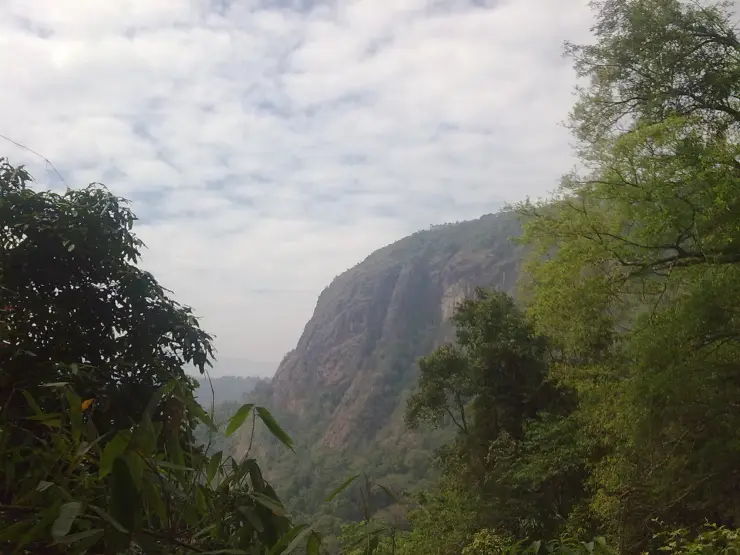
Highland trek and viewpoint landscape above the Banasura reservoir side; access and permissions should be checked locally.

waterfallMeenmutty Waterfalls

The closed Meppadi–Vaduvanchal waterfall, also listed as Meenmutty Falls trek. The map marks Vaduvanchal bus stand for town orientation, not an open waterfall entrance. Banasura Meenmutty is a different site.

waterfallBanasura Meenmutty Waterfalls

2.1 km · 26 min walk

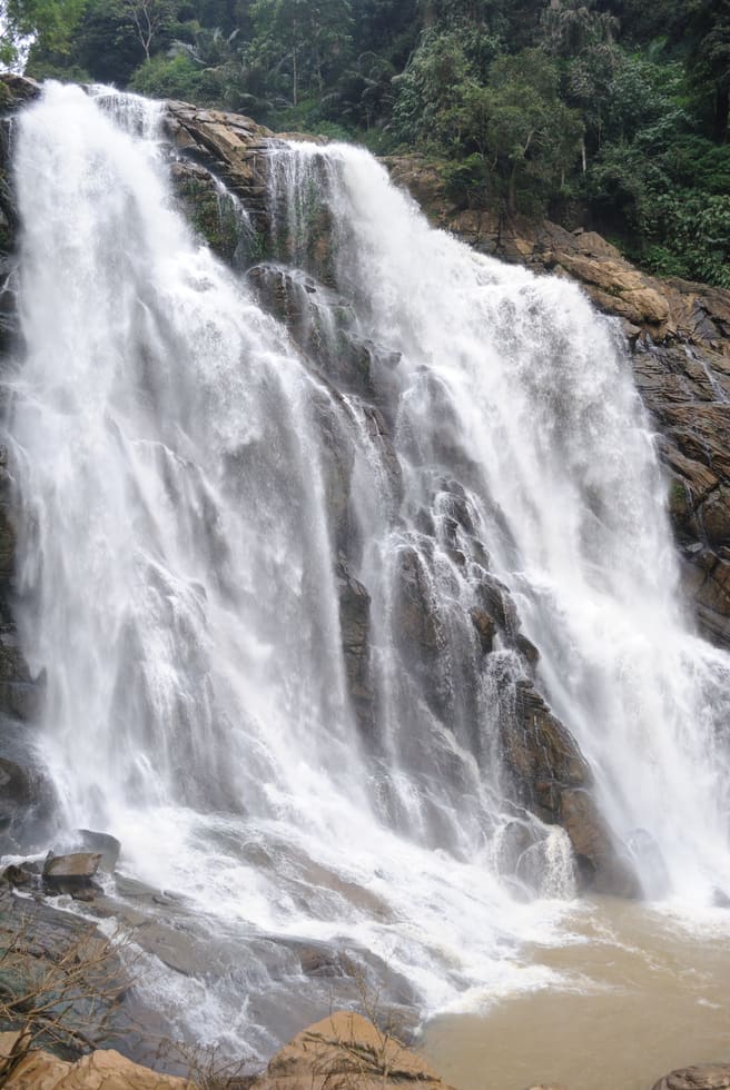
The Banasura-side Meenmutty at Kappikkalam, five kilometres from Banasura Sagar Dam—not the Meppadi or Makkiyad waterfalls with the same name.

viewpointLakkidi View Point

Ghat-road viewpoint at the entrance to Wayanad from the Kozhikode side.

backwaterPookode Lake

16.1 km · ~27 min by cab

Freshwater lake near Vythiri/Lakkidi, commonly paired with the ghat entrance and En Ooru side.

damKarapuzha Dam

Reservoir and garden-side attraction near the Ambalavayal/Kalpetta side of Wayanad.

backwaterKarlad Lake

6.5 km · ~16 min by auto

Banasura-side adventure lake used for kayaking, zipline and family activity planning when open.

natureCoffee Plantations around Kalpetta

15.1 km · ~25 min by cab

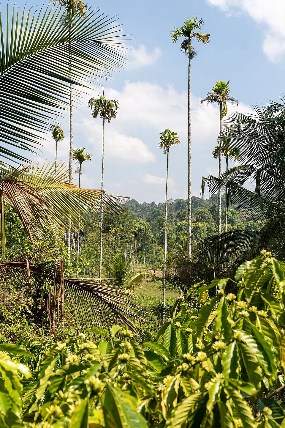
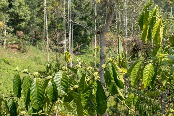
A distributed, working coffee landscape rather than one ticketed attraction: arrange an estate walk with a host, farm or accredited operator, and use Kalpetta town as the honest visitor base.

jainPuliyarmala Jain Temple

14.4 km · ~24 min by cab

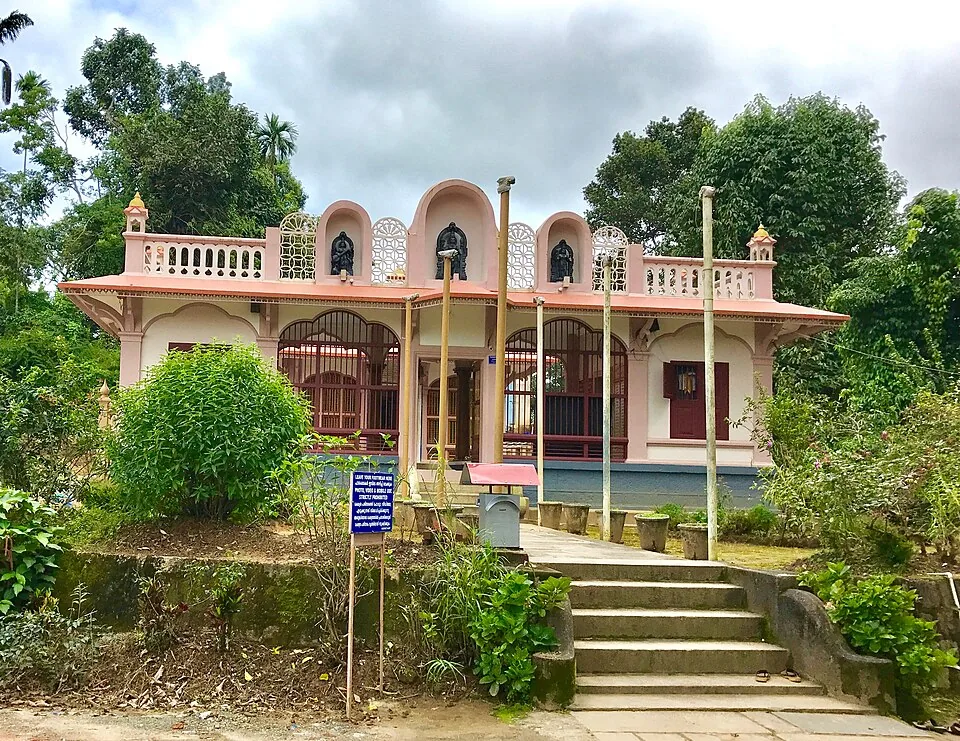
The Anantnath Swami temple at Puliyarmala near Kalpetta — the quieter, living Jain shrine of Wayanad, often paired with the conserved basti at Sulthan Bathery.

jainJain Temple

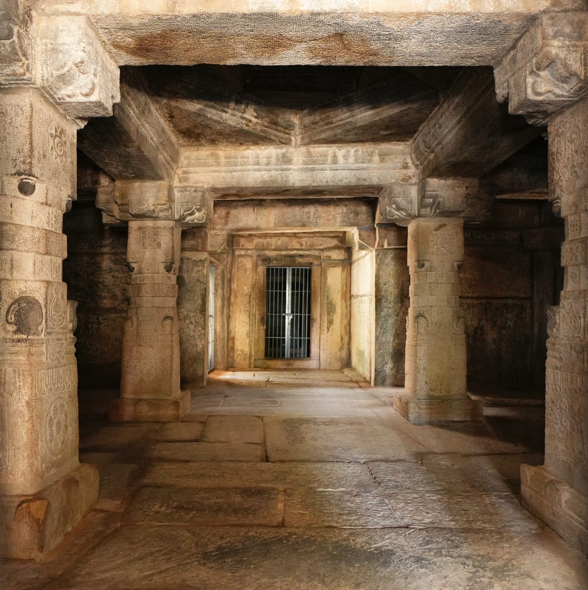
Sulthan Bathery Jain temple with old stone architecture and east-Wayanad heritage context.

viewpointKurumbalakotta

7.9 km · ~20 min by auto

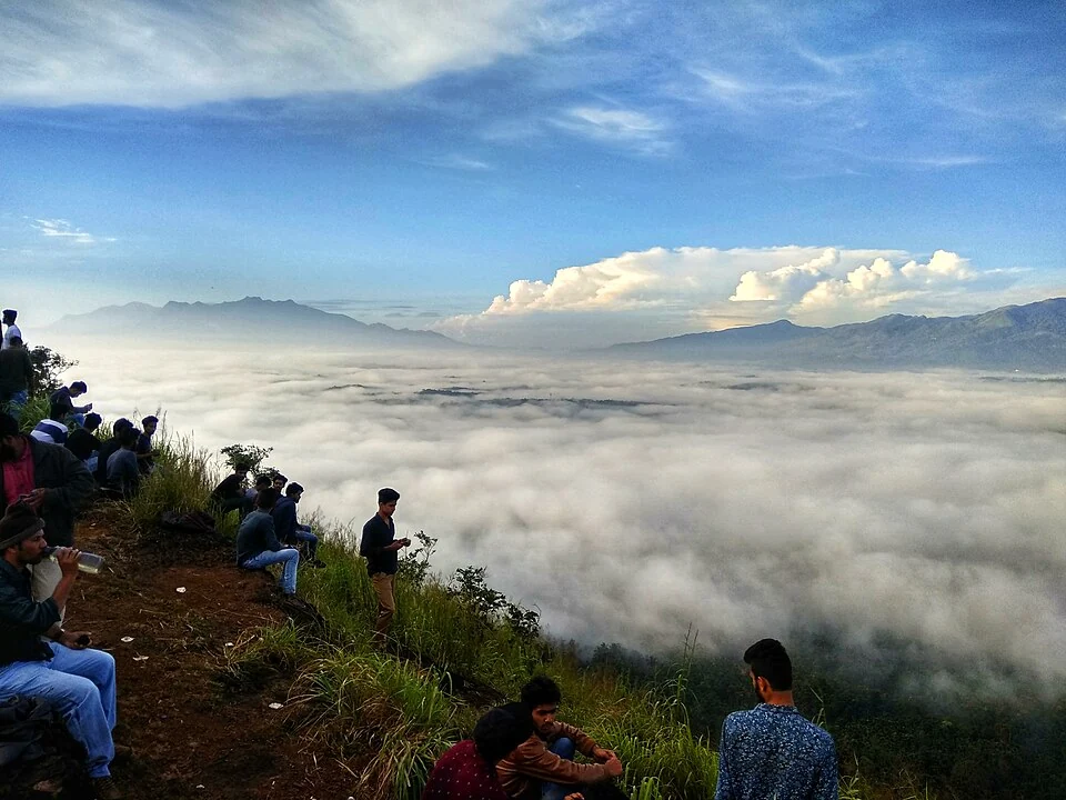
A walked hill viewpoint in the Kottathara area of Wayanad, known for dawn cloud below the ridge and wide daylight views over fields and wooded hills.

mosqueVarambetta Mosque

2.2 km · 28 min walk

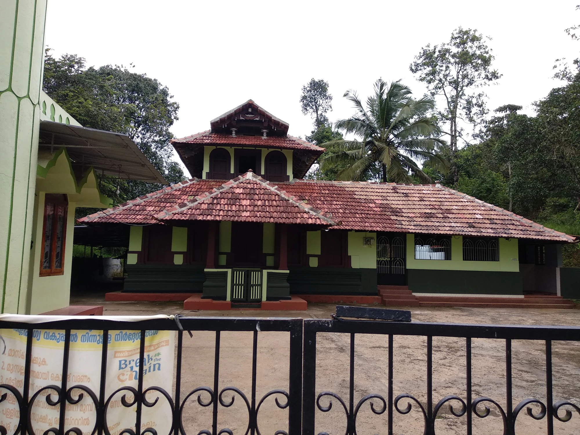
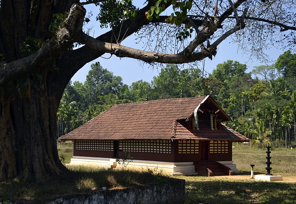
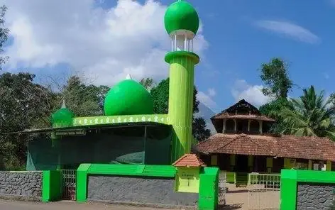
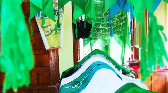
The Varambetta mosque and maqaam complex near Padinjarathara in Wayanad, with a tiled timber shrine, a neighbouring domed prayer building and a documented annual Nercha gathering.

churchPallikkunnu Church

10.8 km · ~18 min by cab

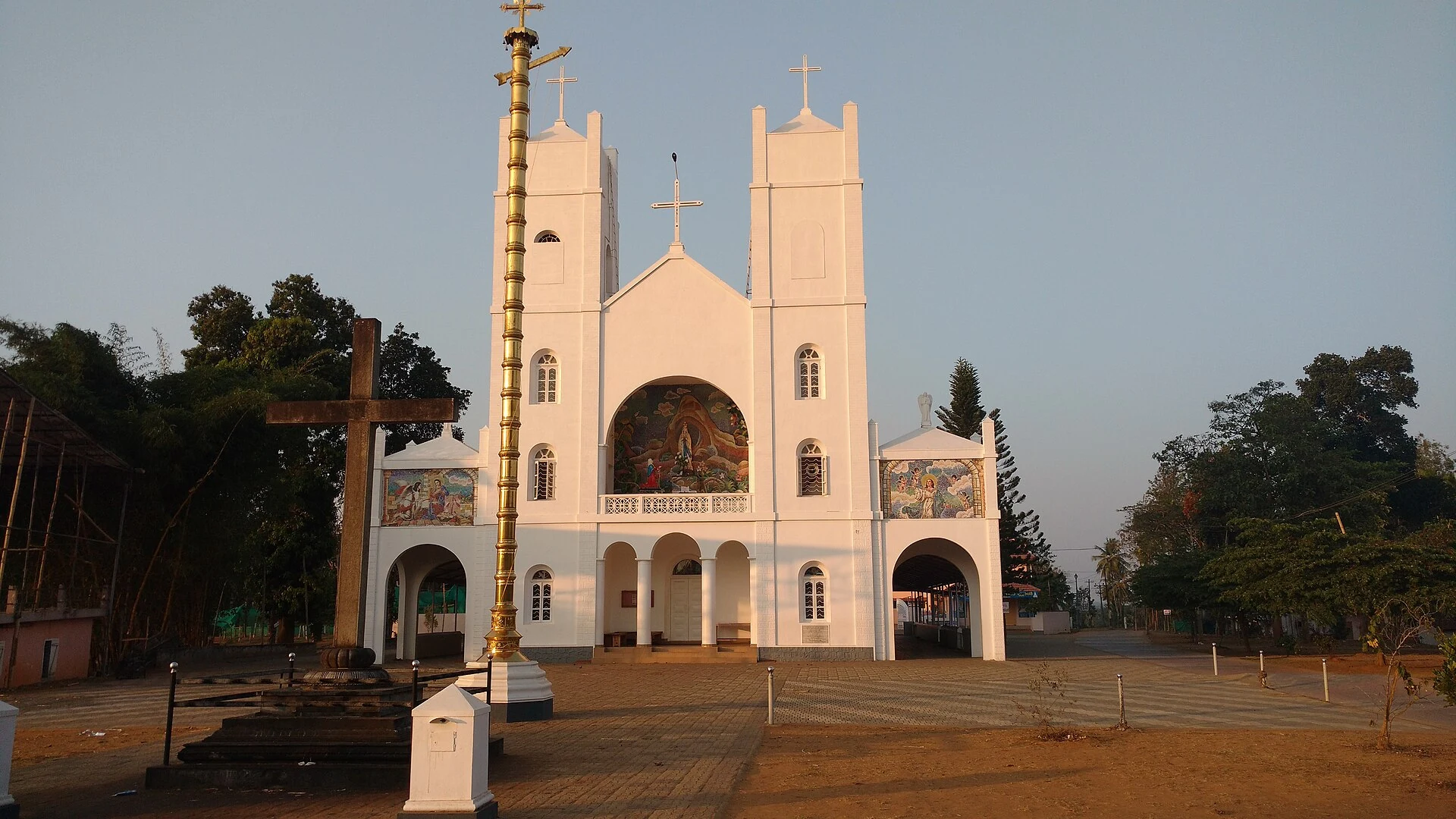
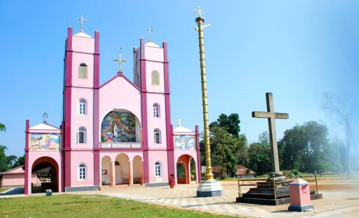
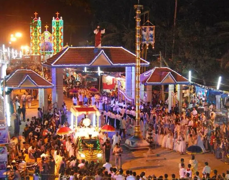
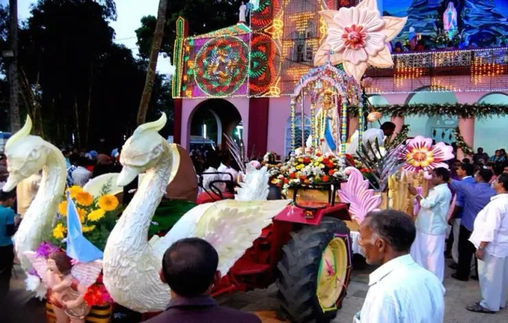
Our Lady of Lourdes shrine at Pallikkunnu in Wayanad, a Latin Catholic church of the Archdiocese of Calicut known for its twin-tower facade, February feast and local devotional customs.

Roampedia is commission-free — own or know a stay, eatery, guide or shop near Banasura Sagar Dam? List it and it appears here once verified.

Add a nearby business
Before you go

Banasura Sagar Dam — at a glance

TimingsGenerally open daily, roughly 9:00 am to 5:00 pm, with boating counters typically closing earlier in the afternoon.
Best timeSeptember to March (post-monsoon and winter) is the most pleasant, with a full, green, island-studded reservoir and comfortable weather; early morning offers the best light. Summer brings lower water levels and wider mudflats; heavy monsoon rain can disrupt boating.

Entry: A nominal entrance ticket per person, with boating charged separately (speed-boat rides cost more than pedal boats, and parking is usually extra).

Dress code: No formal dress code; comfortable clothing and sturdy walking shoes are advised for the crest and jetty walk, with proper trekking gear, water and sun protection essential for the peak climb.

Festivals: No temple-style festival calendar at the dam itself; it stays busiest during the general Wayanad tourist season and on weekends and public holidays. Nearby Onam celebrations (the Mahabali harvest festival) colour the wider region in late summer.

Photography: A dream for photographers — the islands, reservoir and Banasura hills are the highlights, best shot in early-morning light. Casual and phone photography is generally welcome; drones and any commercial or tripod shoots may need prior permission (confirm locally).

Getting here

How to reach Banasura Sagar Dam

  • ✈︎ By air The nearest airports are Kannur International Airport (CNN) and Kozhikode / Calicut International Airport (CCJ), each within a few hours’ drive over hill roads; confirm the fastest current route and driving time locally.
  • 🚆︎ By train The nearest major railhead is Kozhikode (Calicut), roughly 90 km away, from where taxis and buses run up into Wayanad.
  • 🚗︎ By road About 21 km from Kalpetta via Padinjarathara on hill roads; approachable by self-drive, taxi or auto, with the final leg from Padinjarathara covering a few kilometres to the dam.
  • 🚌︎ By bus Local buses run towards Padinjarathara, the nearest town and bus point a few kilometres from the dam; from there a taxi or auto completes the journey. Check current timings and the last-mile connection locally.
Getting back

If you are travelling by bus or ferry, check the return service with the operator before setting out. Leave time to reach the stop or jetty after your visit.

Ask at the bus stand for the time of the last service back, not the next one. If you miss it, an auto or app cab is the fallback — agree the fare before you get in.

Do

Things to do

  • Walk the long earthen dam crest for the panorama of islands and the Banasura hills
  • Take a speed-boat ride weaving between the reservoir’s tiny islands
  • Drift on a pedal boat for a gentler outing on the water
  • Stroll the shaded approach walk and hanging bridge from the entrance to the jetty
  • Let children enjoy the park near the entrance
  • Trek up to Banasura Peak, among the highest summits in Wayanad, for sweeping reservoir views
  • Pause for photographs at the viewpoints, especially in early-morning mist
Getting around Banasura Sagar Dam

If you need step-free access, contact the site before travelling. Ask about a level entrance, steps along the route, the nearest drop-off point, seating and accessible toilets.

Practical things near Banasura Sagar Dam

These services are listed within about 1.2 km of Banasura Sagar Dam. Walking distances follow mapped routes; access and opening hours can change. Other services may be closer but are not included here.

If you need help at Banasura Sagar Dam
112All emergencies (police · fire · medical)The single number to call in any emergency (ERSS).

Emergency numbers are verified against official government and state tourism sources. 112 works anywhere in India.

Nearby

What’s near Banasura Sagar Dam

waterfallBanasura Meenmutty Waterfalls

The Banasura-side Meenmutty at Kappikkalam, five kilometres from Banasura Sagar Dam—not the Meppadi or Makkiyad waterfalls with the same name.

2.1 km · 26 min walk · straight line
trekBanasura Hills

Highland trek and viewpoint landscape above the Banasura reservoir side; access and permissions should be checked locally.

2.2 km · 27 min walk · straight line
mosqueVarambetta Mosque

The Varambetta mosque and maqaam complex near Padinjarathara in Wayanad, with a tiled timber shrine, a neighbouring domed prayer building and a documented annual Nercha gathering.

2.2 km · 28 min walk · straight line
backwaterKarlad Lake

Banasura-side adventure lake used for kayaking, zipline and family activity planning when open.

6.5 km · ~16 min by auto · straight line
viewpointKurumbalakotta

A walked hill viewpoint in the Kottathara area of Wayanad, known for dawn cloud below the ridge and wide daylight views over fields and wooded hills.

7.9 km · ~20 min by auto · straight line
museumAchoor Tea Museum

Harrisons Malayalam’s three-storey tea museum in its 1911 former factory at Achoor, with separately scheduled museum, tasting, working-factory and garden visits.

10.1 km · ~17 min by cab · straight line
churchPallikkunnu Church

Our Lady of Lourdes shrine at Pallikkunnu in Wayanad, a Latin Catholic church of the Archdiocese of Calicut known for its twin-tower facade, February feast and local devotional customs.

10.8 km · ~18 min by cab · straight line
jainPuliyarmala Jain Temple

The Anantnath Swami temple at Puliyarmala near Kalpetta — the quieter, living Jain shrine of Wayanad, often paired with the conserved basti at Sulthan Bathery.

14.4 km · ~24 min by cab · straight line
templeValliyoorkavu Bhagavathy Temple

Important Mananthavady-side Bhagavathy temple known for festival and local cultural context.

15.0 km · ~25 min by cab · straight line
natureCoffee Plantations around Kalpetta

A distributed, working coffee landscape rather than one ticketed attraction: arrange an estate walk with a host, farm or accredited operator, and use Kalpetta town as the honest visitor base.

15.1 km · ~25 min by cab · straight line
heritagePazhassi Smarakam

Pazhassi Raja’s memorial and the Kerala Archaeology Department museum at Mananthavady’s Hospital Hill, with four galleries connecting the resistance leader, Wayanad’s communities and the district’s material history.

15.3 km · ~26 min by cab · straight line
backwaterPookode Lake

Freshwater lake near Vythiri/Lakkidi, commonly paired with the ghat entrance and En Ooru side.

16.1 km · ~27 min by cab · straight line

All 9 places to visit in Kalpetta →

Nearby toilets, pharmacies, ATMs, seating and vets are community-mapped and may be incomplete or out of date. Map data © OpenStreetMap contributors | Walking times © openrouteservice.org by HeiGIT

On the map

Where Banasura Sagar Dam is

Good to know

Banasura Sagar Dam — frequently asked

Is Banasura Sagar really the largest earthen dam in India?

It is very widely described as the largest earthen (earthfill) dam in India, and popularly cited as the second largest of its kind in Asia. The India claim is well established; the Asia ranking is best treated as a popular description rather than a strictly audited fact.

What is there to do at the dam?

The main draws are boating among the reservoir’s islands (speed boats and pedal boats, with other craft at times), walking the long dam crest for the island-and-hills panorama, a children’s park and hanging bridge for families, and — for the energetic — the trek up to Banasura Peak. A short green walk usually separates the entrance from the boating jetty.

How much does entry and boating cost?

Expect a nominal entrance ticket, with boating charged separately per ride or per boat (speed boats are pricier than pedal boats, and parking is usually extra). Rates change with the operator and season, so treat any quoted figure as indicative and confirm charges at the counter on the day.

When is the best time to visit?

The post-monsoon and winter months, roughly September to March, are generally the most pleasant, with a full reservoir, green islands and comfortable weather. Mornings offer the clearest light and calmest water. In peak summer the water level can drop and mudflats widen — a starker look — while heavy monsoon rain can affect boating; check conditions locally.

How do I get to Banasura Sagar Dam from Kalpetta?

It lies roughly 21 km from Kalpetta, reached by road via Padinjarathara, the nearest small town and bus point (a few kilometres away). Local buses run towards Padinjarathara, and taxis or autos cover the final stretch to the dam; self-drive is straightforward on hill roads.

Is the Banasura Peak trek suitable for everyone?

The trek to Banasura Peak is a rewarding but demanding hill climb of several hours through grassland and shola, better suited to reasonably fit walkers and usually done with a local guide. It is separate from the easy dam-and-boating visit, so casual visitors can enjoy the reservoir without attempting the peak. Confirm guide arrangements, timing and any permissions locally.

When is the best time to visit Banasura Sagar Dam?

October to March is easiest for views and road comfort. Monsoon is scenic but access and boating can change quickly.

What are the entry fee and timings at Banasura Sagar Dam?

Entry: A nominal entrance ticket per person, with boating charged separately (speed-boat rides cost more than pedal boats, and parking is usually extra). Timings: Generally open daily, roughly 9:00 am to 5:00 pm, with boating counters typically closing earlier in the afternoon.

How do I reach Banasura Sagar Dam?

Base in Kalpetta, Vythiri or Padinjarathara depending on your Wayanad route. Check current ticketing, boating and dam-area access before leaving, especially in monsoon or high-water periods. Combine with Karlad Lake, Lakkidi/Vythiri or other Kalpetta-side attractions for a full day.

How much time do I need for Banasura Sagar Dam?

1.5 to 3 hours; half day with nearby Kalpetta-side stops.

What else is near Banasura Sagar Dam?

Nearby you can pair Banasura Meenmutty Waterfalls (2.1 km), Banasura Hills (2.2 km), Varambetta Mosque (2.2 km), Karlad Lake (6.5 km).

What should I know before visiting Banasura Sagar Dam?

Follow dam security, boating and barrier instructions. Avoid reservoir edges and closed zones. Do not pressure operators to continue boating in bad weather.

Read before you go

Banasura Sagar Dam guides, stories & itineraries

We have not published a story about Banasura Sagar Dam itself yet. These cover Kalpetta and the wider district, with separate journeys between stops.

Around Kalpetta

These guides explore Kalpetta and the surrounding area. Choose a visit that fits your interests, allowing separately for travel between stops.

In-depth guides to Kalpetta

Written about Kalpetta as a whole rather than about Banasura Sagar Dam — its history, its streets, and how to spend a day in it.

Kerala-wide guides & itineraries

Route-level itineraries and practical guides for the rest of Kerala.

See all 55 Wayanad guides & stories →

Image credits

Photographs: KSEB (CC BY-SA 2.5), Dinesh Valke from Thane, India (CC BY-SA 2.0). Wikimedia Commons.