What to expect
Highlights
- Heritage experience at Pallipuram Fort
- Architecture, local stories and old trade/cultural routes
- Good fit for guided walks and nearby cafes/shops
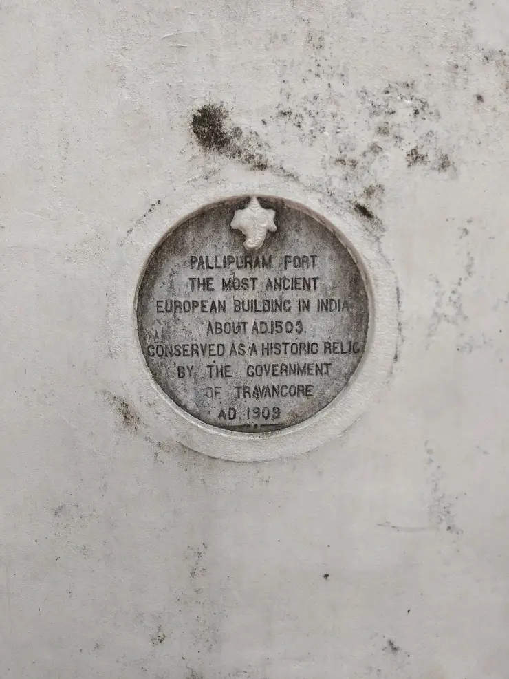
Built by the Portuguese in 1503 at the north tip of Vypin, the oldest surviving European fort in India — a hexagonal laterite tower now protected as a monument.
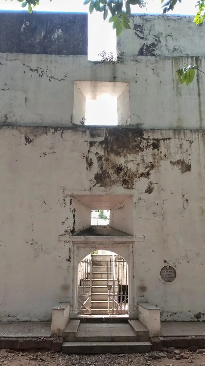
A small hexagonal tower of laterite at the northern tip of Vypin, three storeys high, standing among coconut palms and houses. The Portuguese put a timber work here on 27 September 1503 — nine years after Columbus, five after Vasco da Gama reached Calicut — and rebuilt it in stone by 1505. That makes it, by the usual reckoning, the oldest surviving European-built structure anywhere in India. It takes twenty minutes to see and it is 500 years older than almost everything around it.
Manage your expectations and it is a genuinely moving stop. This is not a fort in the Bekal or Golconda sense: no ramparts, no cannon lines, no grounds, no ticket office. It is a compact hexagonal tower in a coconut grove between a road and some houses, and you can walk the whole of it in the time it takes to drink a tea. British records were blunter than the tourist boards are and called it an outpost rather than a fort, which is the honest description.
Start with the ground, because the ground is younger than you think. Vypin is not ancient land. It is generally held to have been thrown up in 1341, when a catastrophic Periyar flood dumped an enormous load of silt at the coast, choked the old port of Muziris and opened the estuary that became Kochi harbour. The island's own calendar, the Puthuvype era — the Era of the New Deposit — starts that year. So this fort of 1503 stands on soil that was, at the time it was built, about a hundred and sixty years old. Almost nowhere else can you stand on a monument older than most of the countries in Europe and know that the land beneath it is younger still.
What is there rewards a close look. Each of the six faces runs roughly 32 feet long and 34 feet high, and the walls are up to six feet thick — a very great deal of masonry for a building with a footprint smaller than a tennis court. It is laterite bonded with chunam, the lime plaster of this coast, with granite at the load points, a granite central pillar carrying the floors, and a timber upper storey. The lowest floor sits about five feet above the ground, and beneath it is a cellar roughly seven feet square and four feet high, read as the gunpowder store.
Count the openings and the purpose becomes obvious. Three cannon embrasures in each facade — eighteen in all — covering every approach at once. The Portuguese chronicler Gaspar Correa, who is the earliest writer to describe it, says it was built to guard the entrance to the backwater and held about twenty soldiers. Twenty men. Nothing here was meant to hold a siege; it was built so that a handful of gunners could see, and shoot at, anything moving on the water in any direction.
That is the point of the site. Northern Vypin is where the backwaters open to the sea, and whoever held this tower controlled the channel ships had to use to reach the pepper. The Raja of Cochin gave the Portuguese permission to build here — an allied arrangement, not a seizure — and the tower watched foreign shipping entering the Periyar for the next three centuries. It collected names as it changed hands: European records call it Ayacotta, Jacottah, Jaycotta, Palliport and Munampam, and locally you will hear ayikkotta or alikotta. Those Malayalam names will get you there when “Pallipuram Fort” will not.
Immediately to the south stands the church, and the two went up as a pair. It is the Basilica of Our Lady of Snows — Manjumatha, the mist mother — raised to basilica status by Pope Benedict XVI in 2012, with its feast on 5 August. The village takes its name from it rather than from the fort: palli is Malayalam for church, so Pallippuram is the church settlement. The building tourists come for is not the one the place is named after, and the church is the livelier half of the visit.
It sits inside the Muziris Heritage Project, Kerala's attempt to string together the sites of the old Malabar trading world, and has been protected since 1964 — under the Kerala State Department of Archaeology, not the ASI. Entry is free and it is closed on Mondays.
Practically, it belongs in a Vypin island run rather than as a trip of its own: Cherai Beach is a few kilometres south, Munambam harbour is just north, and the fort is the historical anchor between them. Come late in the afternoon and finish at the beach.
The legend here belongs to the church, and it is worth telling properly because the record both undercuts it and backs it up. When Tipu Sultan's army came down this coast, the story goes, the Christians of Pallippuram gathered in the church and prayed; a thick mist came down over the island and hid it, and the invaders — unable to see land at all — took the whole stretch for open sea and passed it by. That is why she is Manjumatha, Our Lady of Snows. The parish also tells a second half: that a flood on the Periyar destroyed much of Tipu's force and drove him back to Mysore.
The mist is devotion. The flood is history. Tipu's 1790 advance into Travancore really was stopped at the Periyar, and it was stopped deliberately — a small Travancore party under Vaikom Padmanabha Pillai and Kunjai Kutty Pillai went upstream and breached the dam walls at Bhoothathankettu, sending a flash flood down the river his army had to cross. Add the monsoon, cholera and malaria in his camp, and a British declaration of war behind him, and he withdrew. The miracle the parish remembers is real in its second half and man-made in its cause.
But the first half of the legend needs a harder correction than any guidebook gives it, including, until now, this one. Tipu did not pass Pallippuram by. He came for it by name. In 1789 the Dutch sold this fort — Ayacotta in the treaty papers — together with Kodungallur, to Travancore. Tipu held that both lay in Cochin, which was his tributary, and that the sale was an infringement of his sovereignty; he demanded the Travancore Lines be demolished and both forts returned, and when he was refused he invaded. That refusal is the immediate cause of the Third Anglo-Mysore War. He breached the Nedumkotta in late April 1790, took Cranganur on 8 May, and Ayacotta and Parur surrendered to him shortly after. This small tower in a coconut grove is one of the two buildings a war was declared over, and it fell.
The founding date is contested at source and nobody says so. The modern standard account gives 27 September 1503 for a timber work, rebuilt in stone by about 1505. But Gaspar Correa, the Portuguese chronicler and the earliest writer we have on the building, dates it to 1507. The church beside it carries the same four-year split — founded 1503 by some accounts, 1507 by others, and the parish itself celebrated its five-hundredth anniversary in 2007. Two independent buildings, the same unresolved argument. We give 1503 because it is the common reading, not because it is settled.
Correa also got the shape wrong. He describes an octagonal tower. It is hexagonal, and has six faces, and anyone standing in front of it can count them. The earliest surviving description of the oldest surviving European building in India miscounts its sides — which is a useful thing to hold in mind before trusting any single source about this place.
The claim on every signboard is “the oldest European fort in India”, and the loose version is false — Fort Emmanuel at Fort Kochi was begun the same year a few kilometres south. What Pallipuram holds is survival, not primacy: it is described as the only monument of the early Portuguese era in India that has not fallen into ruin. And the smallest error is the most persistent: it is routinely called an ASI monument, and it is not. It was declared protected in 1964 and is a State Protected Monument under the Kerala State Department of Archaeology — the kind of thing that gets copied from one page to the next until everyone is wrong together.
1341 — Vypin island is generally held to have formed when a catastrophic Periyar flood silted the mouth of ancient Muziris and opened the estuary that became Kochi harbour. The island's calendar, the Puthuvype or “new deposit” era, dates from that year. No direct account of the flood survives; the single-event version is inferred from the calendar, from excavation at Pattanam and from the geology.
1503–07 — the Portuguese build the tower on the northern tip of Vypin, with the Raja of Cochin's permission, to command the approach to the backwaters. The usual dating is a timber work of 27 September 1503 rebuilt in stone by about 1505; Gaspar Correa, the earliest chronicler of it, gives 1507 instead. A church dedicated to Our Lady of Snows goes up alongside and gives the settlement its name.
Hexagonal, three storeys, each face roughly 32 ft long and 34 ft high, walls up to six feet thick, eighteen cannon embrasures — three per facade. Laterite and chunam with granite at the load points, a granite central pillar and a timber top floor, over a cellar about seven feet square used as a gunpowder store. Correa records a garrison of roughly twenty men; British documents later class it as an outpost rather than a fort.
1661/1663 — the Dutch take the fort, in the same sequence of events that burned and rebuilt the Paradesi Synagogue and the Konkani temple across the water in Mattancherry in 1662–63. Sources give both years and the discrepancy is unresolved.
1789 — the Dutch sell the fort, recorded as Ayacotta, along with Kodungallur to Travancore. Tipu Sultan holds that both lie within Cochin, his tributary, demands their return and the demolition of the Travancore Lines, and invades when refused. The sale is the immediate cause of the Third Anglo-Mysore War.
1790 — Tipu breaches the Nedumkotta in late April and takes Cranganur on 8 May; Ayacotta and Parur surrender soon after. His advance is halted at the Periyar, flooded deliberately by a Travancore party who breached the dam at Bhoothathankettu upstream, and he withdraws in the face of the monsoon, disease and a British declaration of war. The fort stays Travancore's until independence; the British never hold it.
1931–2012 — the church is renovated in 1931, rebuilt in 2006, marks its five-hundredth anniversary in 2007 and is raised to a basilica by Pope Benedict XVI in 2012. Its feast falls on 5 August.
1964 to now — declared a protected monument by the Department of Archaeology in 1964, and today a State Protected Monument of the Kerala State Department of Archaeology, not an ASI monument. It forms part of the Muziris Heritage Project and is open free of charge daily except Mondays.
Because it is, by the usual reckoning, the oldest surviving European-built structure in India — and it is free, and it takes twenty minutes.
Because the hexagonal plan is unusual and completely legible: six faces, eighteen gun ports, no living quarters. You can read the building’s job off its walls without a guide.
Because it is one of the very few places where the first Portuguese decade in India is a thing you can put your hand on rather than a date on a museum label.
Because a war was declared over it. The Dutch sale of this tower to Travancore in 1789 is the immediate cause of the Third Anglo-Mysore War, and it is a very small building to have done that.
Because the island itself is younger than the fort's own century — Vypin is held to have formed in a 1341 flood, and the local calendar starts that year.
Because it anchors the Vypin island run between Cherai Beach and Munambam harbour and gives that day a spine.
Because it is quiet. Very few visitors to Kochi come this far up the island, and you will often have it to yourself.
And because the basilica next door, with its mist legend, is the building the village actually named itself after.
Road km to Ernakulam; ghat roads and traffic vary — allow extra.
November to February and early mornings are best for walking; avoid midday heat where possible.
Live forecast loads in your browser.
Sun and moon are calculated for this location and shown in IST. Photography windows are the hour around sunrise and sunset; the sunset bearing is degrees clockwise from true north. Moon phase is accurate to about half a day.
Verified hotels, homestays, restaurants, experiences, sights, shops and rentals around Pallipuram Fort — commission-free, with direct contact. Filter by what you need.
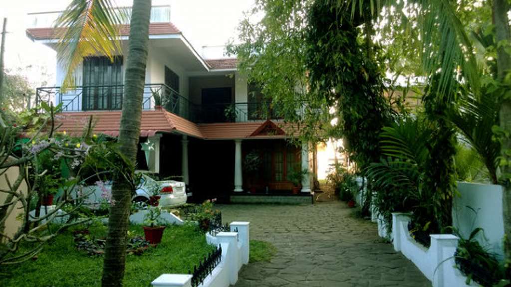
Ayurdara combines Ayurveda treatment rooms and cottages beside the Vypin backwaters. Choose it for a planned consultation or residential programme rather than a spontaneous beach-side massage. Discuss the proposed treatment, accommodation and programme length with the centre before booking.

Restaurant at Cherai Beach Resorts for Vypin Island and Cherai beach visitors. Cherai-and-vypin, eat, Beach resort restaurant.
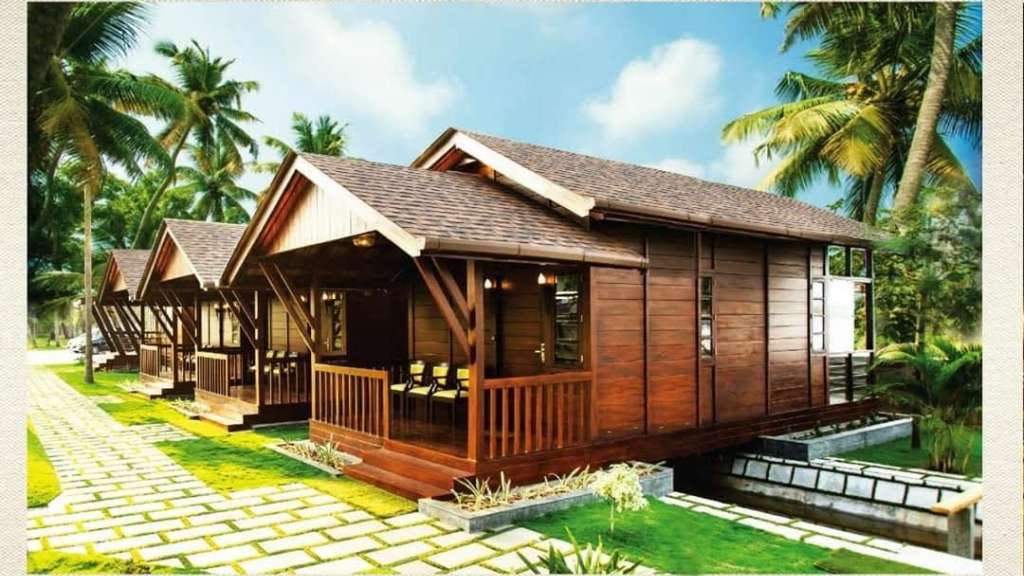
Kerala Tourism-listed resort in Cherai and Vypin. Cherai Beach, Kochi, Kerala · Maliekal, Kerala Tourism-listed resort, cherai-and-vypin.
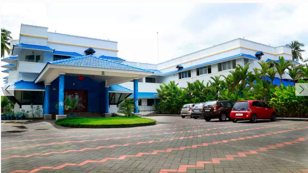
Kerala Tourism-listed Cherai Beach Road hotel close to the beach, useful for travellers comparing Vypeen beach stays.
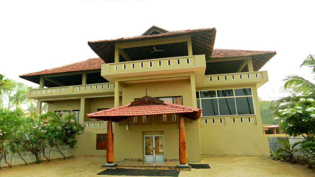
Cherai Beach Palace is a Cherai Beach Road stay useful for simple beach-base enquiries, direct room checks and Cherai / Vypin trip planning. Cherai, Beach Road, Hotel.
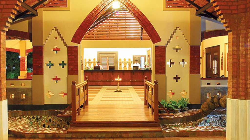
Beach and backwater resort at Cherai with direct official contacts. Cherai P.O., Kochi, Kerala 683514 · Cherai, Beach stay, Backwaters.
Cherai beach activity context for Vypin Island visitors comparing water-sport options. Cherai-and-vypin, do, Beach water sports.
Kerala Tourism-listed Club Mahindra property on MLA Road, useful for family beach-stay planning around Cherai.
Visitor information in Cherai and Vypin. Cherai Beach, Vypeen Island, Kochi, Kerala · Cherai, cherai-and-vypin.
Book with the place itself. India’s cyber-crime coordination centre warned in April 2025 that convincing copies of hotel and pilgrimage booking sites are being pushed through sponsored search and social ads, taking payment for rooms the property never hears about. Every listing here links to the business’s own contact details and its own Google or Bing profile — we take no commission and sit in nobody’s payment path. If a booking page reached you through an ad, check the address bar against the property’s own site before you pay. Fraud can be reported on cybercrime.gov.in or on 1930.
Find food, accommodation and activities across Cherai and Vypin. Browse the guides for places to eat, stay and explore along your route.
5 more places around Cherai and Vypin. Open a guide to plan the visit and onward journey.
6.8 km · ~17 min by auto
A relatively quiet Vypin Island beach north of Kochi, with an open sandy shore and village approach distinct from Cherai and Puthuvype.
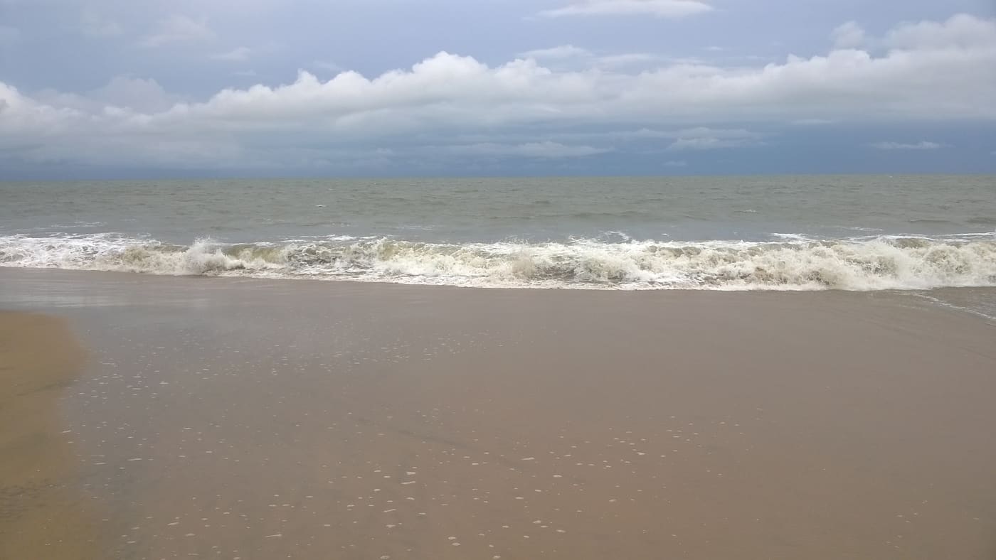
3.4 km · 4 min drive
Long beach on Vypin Island, one of Kochi’s easiest beach day trips.
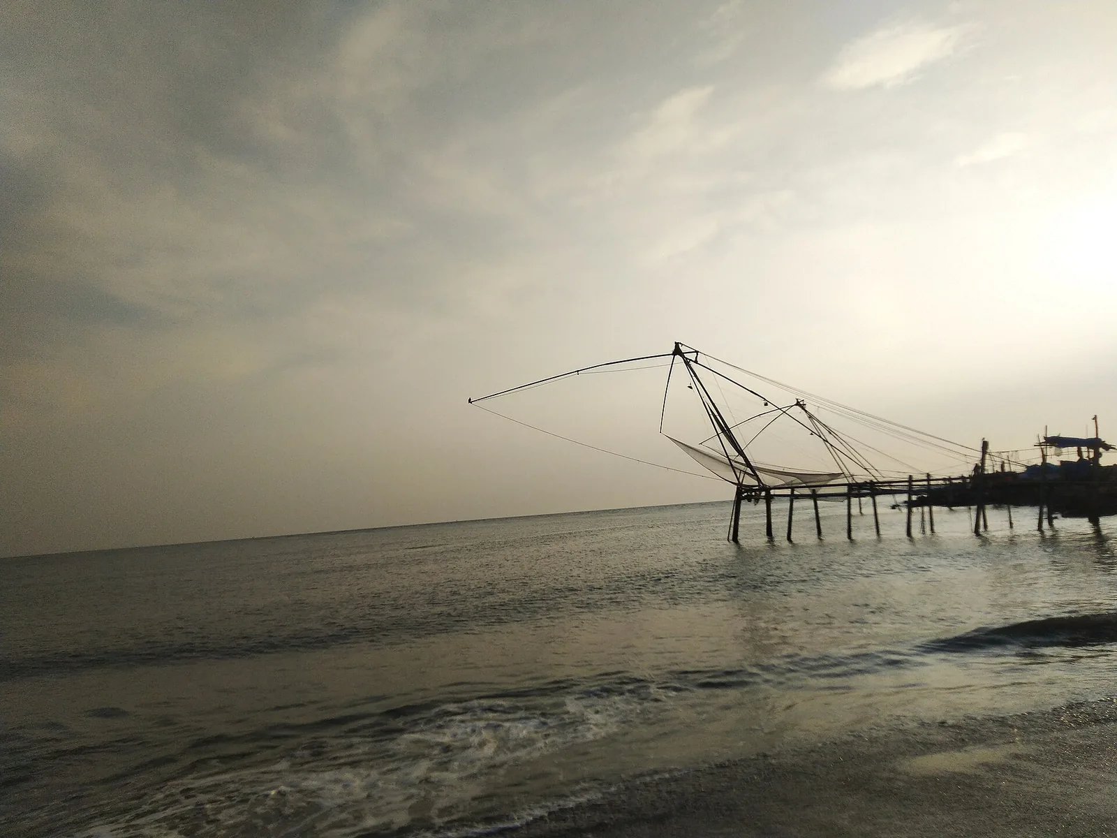
2.7 km · 3 min drive
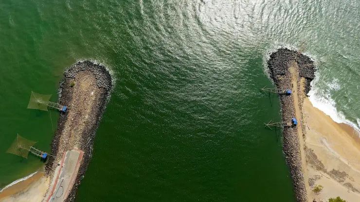
A quiet sand beach at the northern tip of Vypin where the backwaters meet the sea, with the Pulimuttu breakwater at its end — about a kilometre south-west of the working fishing harbour, and a completely different visit.
1.8 km · 22 min walk
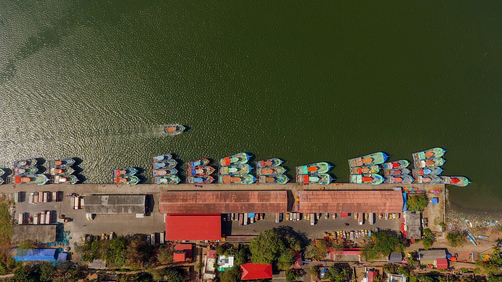
One of Kerala’s biggest fishing harbours, at the northern tip of Vypin — a working quay of steel trawlers, ice plants and a dawn auction, and the yard where much of the south-west coast’s trawler fleet is actually built.
21.0 km · 24 min drive
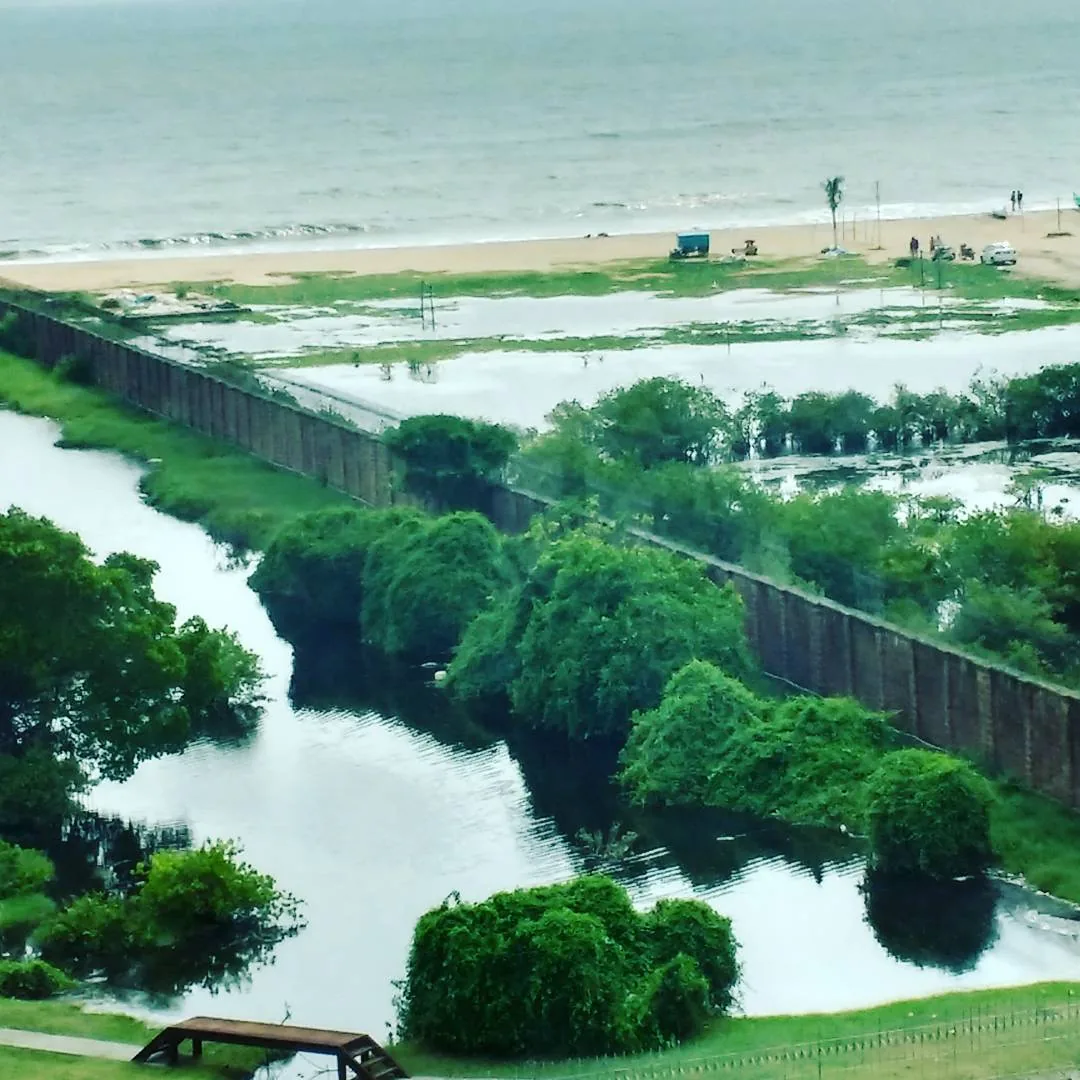
A quieter Vypin-island beach near the Ochanthuruth lighthouse, reached by ferry or the Goshree bridges from Ernakulam.
Roampedia is commission-free — own or know a stay, eatery, guide or shop near Pallipuram Fort? List it and it appears here once verified.
Add a nearby businessEntry: Free — there is no entry ticket, no camera charge and no guide fee.
If you are travelling by bus or ferry, check the return service with the operator before setting out. Leave time to reach the stop or jetty after your visit.
Ask at the jetty or stand for the time of the last service back, not the next one. If you miss it, an auto or app cab is the fallback — agree the fare before you get in.
If you need step-free access, contact the site before travelling. Ask about a level entrance, steps along the route, the nearest drop-off point, seating and accessible toilets.
Charge cap and free-transaction limits: Reserve Bank of India, in force since 1 May 2025.
These services are listed within about 1.2 km of Pallipuram Fort. Walking distances follow mapped routes; access and opening hours can change. Other services may be closer but are not included here.
Emergency numbers are verified against official government and state tourism sources. 112 works anywhere in India.
One of Kerala’s biggest fishing harbours, at the northern tip of Vypin — a working quay of steel trawlers, ice plants and a dawn auction, and the yard where much of the south-west coast’s trawler fleet is actually built.
1.8 km · 22 min walkA quiet sand beach at the northern tip of Vypin where the backwaters meet the sea, with the Pulimuttu breakwater at its end — about a kilometre south-west of the working fishing harbour, and a completely different visit.
2.7 km · 3 min driveLong beach on Vypin Island, one of Kochi’s easiest beach day trips.
3.4 km · 4 min driveA relatively quiet Vypin Island beach north of Kochi, with an open sandy shore and village approach distinct from Cherai and Puthuvype.
6.8 km · ~17 min by auto · straight lineA quieter Vypin-island beach near the Ochanthuruth lighthouse, reached by ferry or the Goshree bridges from Ernakulam.
21.0 km · 24 min drive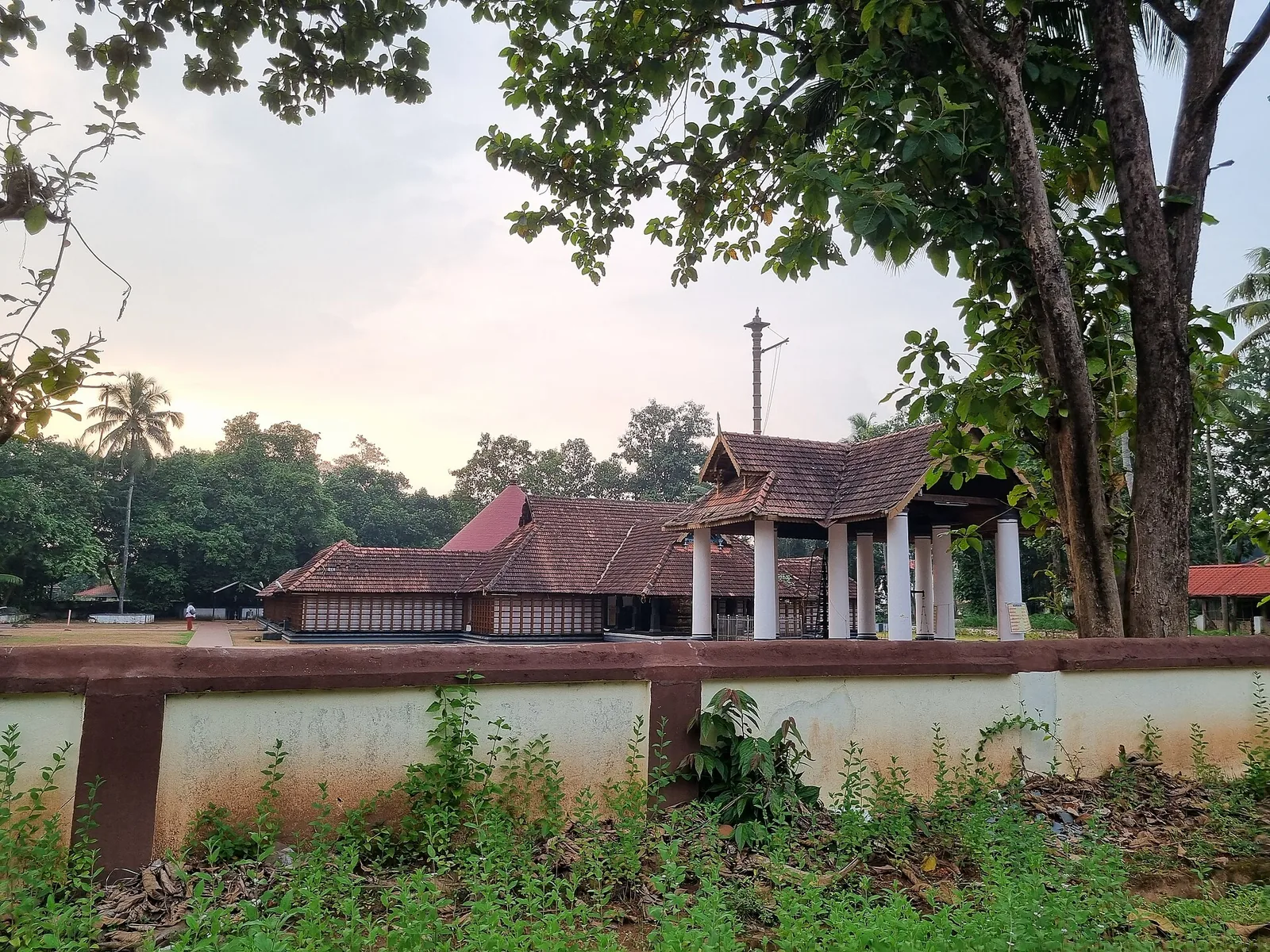
The only major temple to Vamana in Kerala, at Thrikkakara near Kakkanad — traditionally regarded as the origin place of the Onam festival.
22.1 km · ~37 min by cab · straight line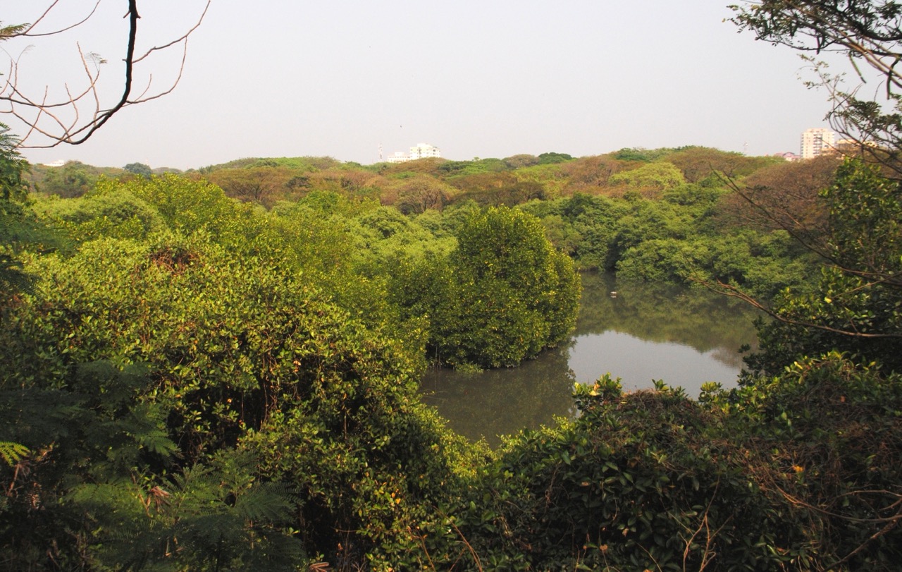
A small mangrove “green lung” behind the High Court in Ernakulam, a nesting site for migratory and resident birds.
22.5 km · ~38 min by cab · straight line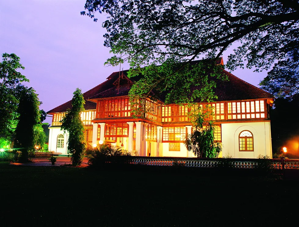
A 1744 Dutch palace on Bolgatty Island, one of the oldest existing Dutch palaces outside the Netherlands, set in island gardens (now a KTDC heritage hotel).
22.7 km · ~38 min by cab · straight line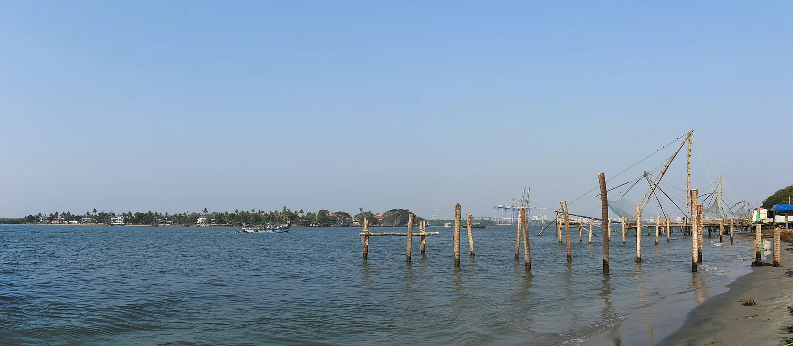
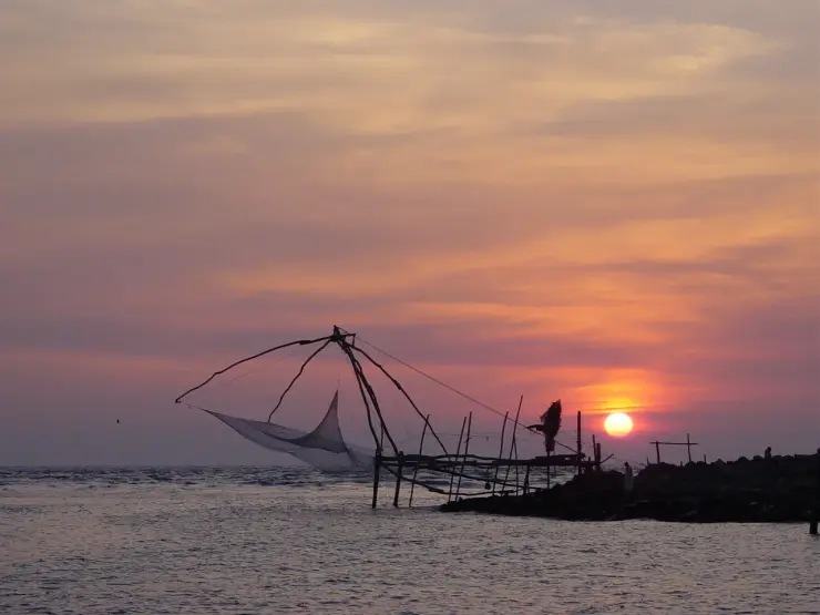
Kochi’s iconic cantilevered shore-operated fishing nets along the Fort Kochi seafront at Vasco da Gama Square, best photographed at sunset.
23.4 km · ~39 min by cab · straight line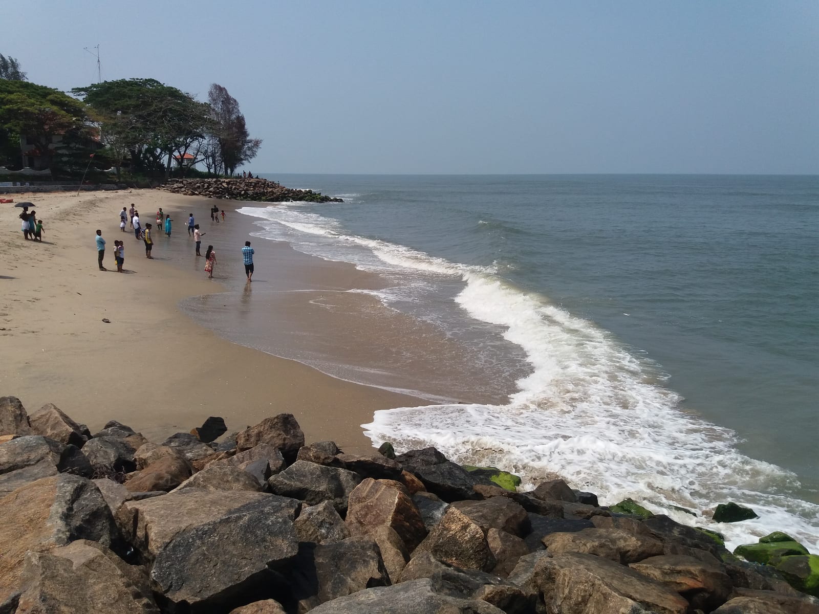
Public seafront beside the Chinese fishing nets — a walking-and-sunset beach, not a swimming beach.
23.5 km · ~39 min by cab · straight line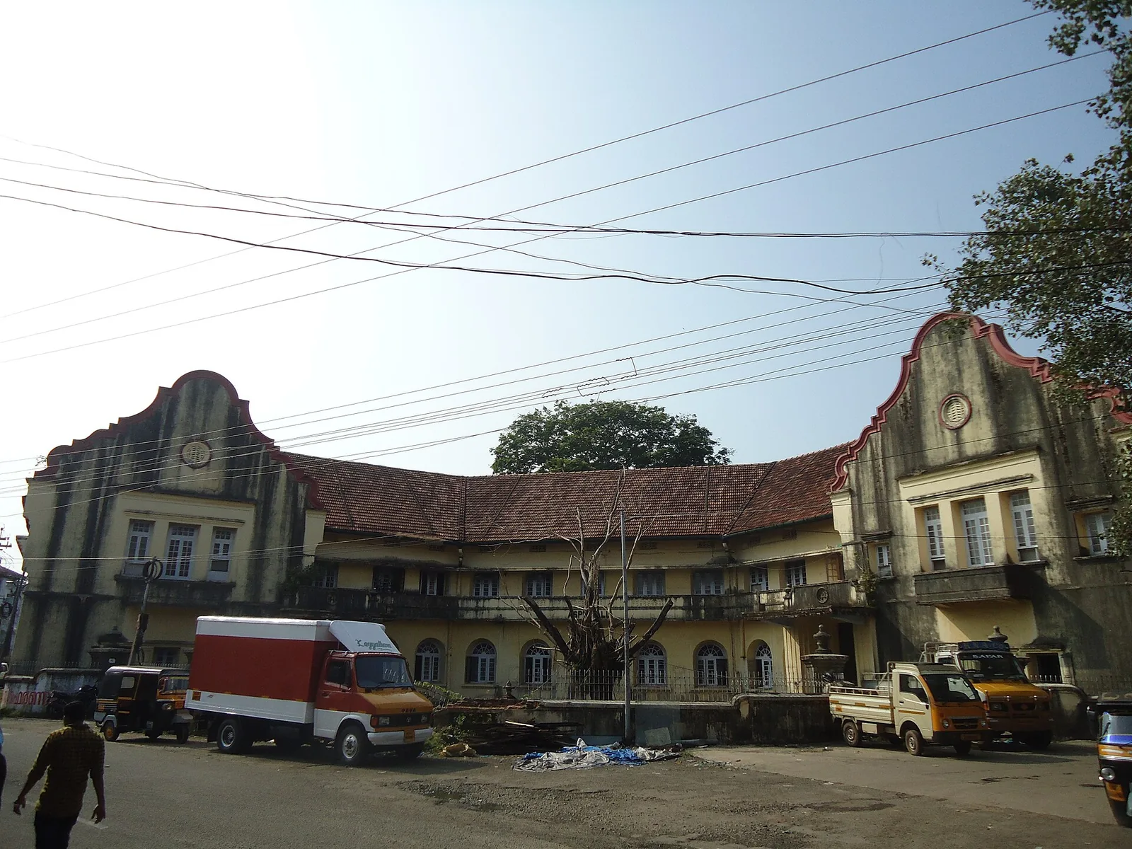
A large 19th-century waterfront trading compound in Fort Kochi, the principal venue of the Kochi-Muziris Biennale.
23.5 km · ~39 min by cab · straight line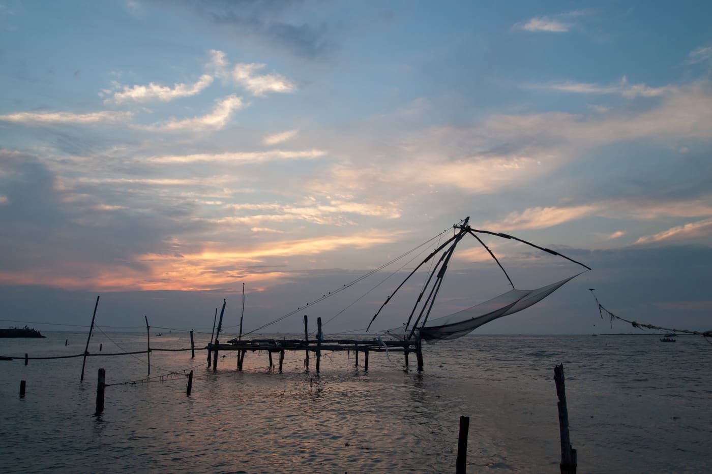
Kerala’s most walkable heritage quarter, with Chinese fishing nets, colonial churches, art cafes and Mattancherry nearby.
23.6 km · ~39 min by cab · straight lineWalking and driving times are real routed distances, except the few marked “straight line”, which are direct-line estimates and will read short. Fare figures are estimates from Kerala’s notified auto/taxi tariff and exclude waiting and night charges. Routing: © openrouteservice.org by HeiGIT | Map data © OpenStreetMap contributors
Nearby toilets, pharmacies, ATMs, seating and vets are community-mapped and may be incomplete or out of date. Map data © OpenStreetMap contributors | Walking times © openrouteservice.org by HeiGIT
No — entry is free. There is no ticket counter, no camera charge and no guide fee. It is a small protected monument in a village, not a managed attraction.
Around 9:30am to 5:00pm, and yes, it is normally closed on Mondays. It is a state-run monument with a caretaker rather than a staffed site, so hours can slip in practice — check locally before making a special trip up the island for it alone.
It is the oldest surviving one, which is not the same claim. Fort Emmanuel at Fort Kochi was begun the same year a few kilometres south; Pallipuram is described as the only early-Portuguese monument in India that has not fallen into ruin. Note also that the 1503 work was timber — the stone building dates from about 1505, and the chronicler Gaspar Correa dates the whole thing to 1507.
Both dates are in the sources and neither is settled. The common modern account gives a timber work on 27 September 1503, rebuilt in stone by about 1505. Gaspar Correa, the Portuguese chronicler and the earliest writer on the building, gives 1507. The church next door carries exactly the same four-year split — and its parish celebrated a five-hundredth anniversary in 2007. We publish 1503 as the common reading, not as a settled fact.
Yes. This is where the popular telling goes wrong. The Dutch sold this fort — Ayacotta in the treaty papers — with Kodungallur to Travancore in 1789; Tipu held that both lay in Cochin, his tributary, demanded them back and invaded when refused, which is the immediate cause of the Third Anglo-Mysore War. He breached the Nedumkotta in late April 1790, took Cranganur on 8 May, and Ayacotta surrendered soon after. He was then stopped at the Periyar and withdrew.
The church beside the fort is Our Lady of Snows, and local tradition holds that when Tipu's men came, a thick mist hid the island so completely that they took it for open sea and passed by — hence Manjumatha, the mist mother. The parish also credits a Periyar flood with destroying much of his force. The flood is documented, but it was man-made: a Travancore party breached the dam at Bhoothathankettu upstream. And the fort itself did not escape — it surrendered. Treat the mist as devotion.
No, and this is the most commonly repeated error about it. It was declared protected in 1964 and is a State Protected Monument under the Kerala State Department of Archaeology — not the Archaeological Survey of India. It is also part of the Muziris Heritage Project.
Those are the Malayalam names you will hear locally. Sources disagree on what they refer to — some treat them as names for this building, others as a general term for a fort of this hexagonal form. Either way they are more use than “Pallipuram Fort” when asking directions.
The Dutch took it in the early 1660s — sources give 1661 and 1663 and do not agree — and sold it to the Kingdom of Travancore in 1789. Travancore held it until independence. Contrary to the usual telling, the British never owned it.
Twenty to thirty minutes at the fort itself. Combine it with Cherai Beach a few kilometres south and Munambam fishing harbour just north — together they make a good half-day on northern Vypin, best done with the fort in the afternoon and the beach at sunset.
Usually, but not guaranteed — it depends on whether the caretaker is present. The stair and upper floors are narrow and uneven, so take real care with children and do not assume there are railings.
November to February and early mornings are best for walking; avoid midday heat where possible.
Entry: Free — there is no entry ticket, no camera charge and no guide fee. Timings: Around 9:30am to 5:00pm, closed on Mondays. It is a caretaker-run monument rather than a staffed site, so hours can slip in practice.
Base yourself in Cherai and Vypin or a nearby town in Ernakulam, then confirm the last-mile route locally before leaving. Walkable heritage areas are best done slowly; combine nearby streets, museums, markets and food stops. If the visit depends on forest, temple, boat, ferry, weather or seasonal access, check the official/local rule on the day before travel.
1 to 3 hours.
Nearby you can pair Munambam harbour (1.8 km), Munambam Beach (2.7 km), Cherai Beach (3.4 km), Kuzhupilly Beach (6.8 km).
Watch traffic on narrow heritage streets. Keep valuables close in crowded markets.
Written about Pallipuram Fort itself — its history, its legends and the arguments about them.


These guides explore Cherai and Vypin and the surrounding area. Choose a visit that fits your interests, allowing separately for travel between stops.


Route-level itineraries and practical guides for the rest of Kerala.


