What to expect
Highlights
- Sea views and sunset at Munambam Beach
- Nearby seafood, cafes or beach walks where available
- Easy pairing with local stays and short day trips
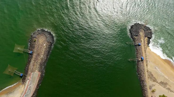
A quiet sand beach at the northern tip of Vypin where the backwaters meet the sea, with the Pulimuttu breakwater at its end — about a kilometre south-west of the working fishing harbour, and a completely different visit.
At the northern tip of Vypin Island, where the Periyar river spills into the Arabian Sea, Munambam is where you watch Kerala’s coast do real work — a busy fishing harbour, blue-hulled trawlers, and an estuary sky full of kites rather than a manicured leisure strand.
Munambam sits at the very end of Vypin, the long barrier island that shelters Kochi from the open sea. Here the land simply runs out: the Arabian Sea presses in from the west, the Periyar river slides down the eastern edge, and to the north the two meet in a wide, restless river-mouth. Standing on the sand you are looking at an estuary rather than a straightforward beach — brown river water braiding into blue-grey sea, sandbars shifting with the tide, and the far bank of Azheekode shimmering across the water.
It is a working coast, and that is exactly its character. Munambam is quieter and far less commercial than its famous neighbour Cherai, a few kilometres south. There are no rows of shacks or deckchairs; instead you get long, uncluttered sand, a scatter of local families, and the constant background rhythm of the fishing harbour just behind the shore. Kerala Tourism markets the stretch as the ‘Muziris Golden Beach’, tying it to the ancient Muziris port heritage of this coast, but the day-to-day scene is unpolished and genuine.
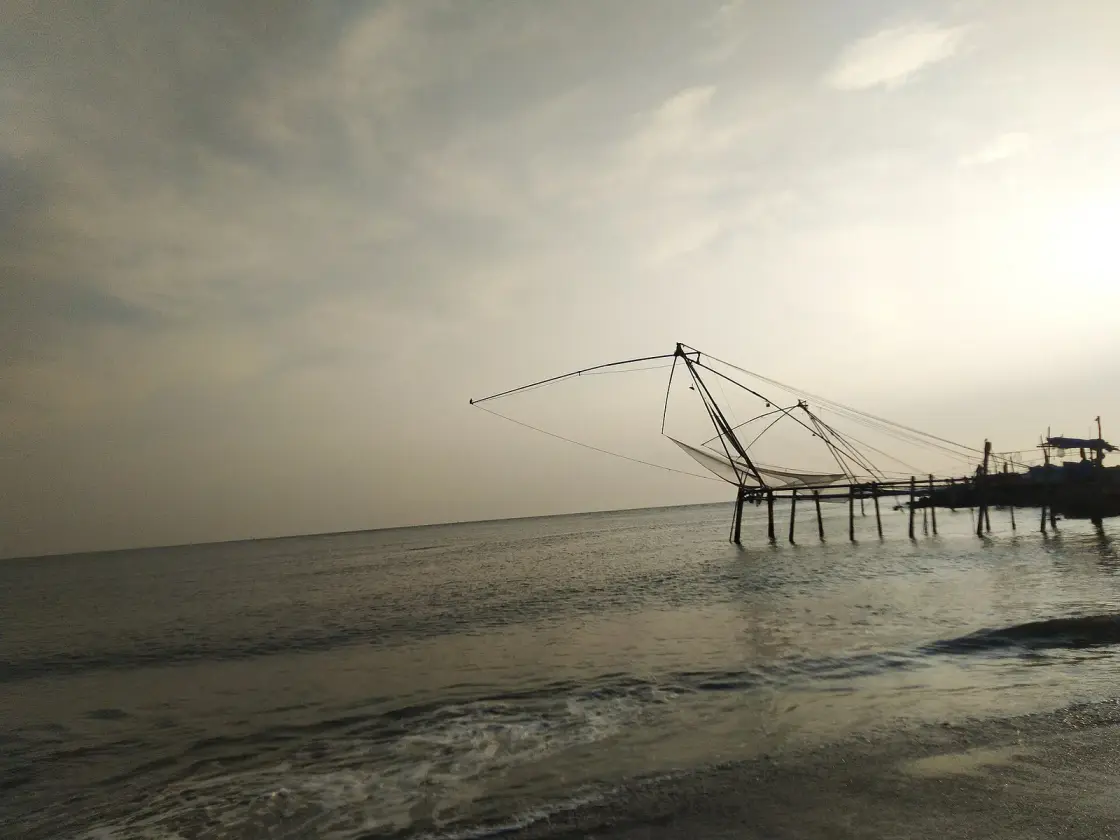
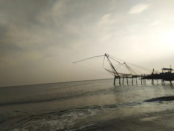
The signature sight is the fishing life. Traditional Chinese fishing nets — the cantilevered, spider-like contraptions that have become an emblem of Kochi — dip and rise along the water, worked by hand by local fishermen. Alongside them, the estuary is a highway for country boats, ferries and the big steel trawlers heading out to sea or coming home heavy with catch. Kite-flying is a genuine local pastime here, the open, breezy river-mouth filling with colour on clear evenings.
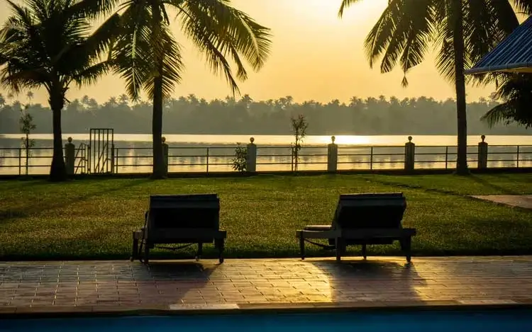
Because the river meets the sea here, Munambam is a good place for birdlife and for simply watching the water. Where fresh and salt water mingle, fish gather and so do gulls, terns and waders, especially in the cooler months. The light at the river-mouth is beautiful in the last hour of the day, and sunsets over the Arabian Sea — with silhouetted nets and returning boats in the foreground — are the reason many people make the trip out this far.
It is important to be honest about what Munambam is not. This is not primarily a swimming or splashing beach. The river-mouth carries strong, unpredictable currents where the Periyar drains into the sea, and the shore doubles as the approach to a busy commercial harbour with boat traffic and breakwaters. People come to look, to walk, to photograph and to soak up the atmosphere — not to bathe. Treated on its own terms, as a raw estuary and a window onto Kerala’s fishing economy, it rewards the visit.
Munambam pairs naturally with the rest of northern Vypin. Cherai Beach, with its calmer swimmable stretches and backwater edge, is just down the road; the old Pallippuram Fort and the Vypin lighthouse are close by; and the ferry crossings over the estuary give a cheap, memorable ride with locals and their cycles and motorbikes. Come for a half-day, combine it with Cherai, and you see two very different faces of the same island.
The dangerous belief about Munambam is not a legend. It is a look. This is the calmest-seeming water on the Vypin coast — a wide brown sheet where the Periyar slides out to meet the sea, often glassy, often shallow at the edge, with children playing in it and boats crossing it all day. It reads as the safest beach for miles. It is the most lethal stretch of water on the island, and the reason is invisible from the sand.
What you are standing beside is an azhimukham, a river mouth, not a beach. Where a large river discharges into the sea across a shifting sandbar, the outgoing river current, the incoming tide and the swell all meet in the same narrow gap. The result is fast, directional water that runs offshore, changes with the hour and does not announce itself with surf. Add a working harbour channel with trawler traffic and breakwaters, and you have a place where the visual cues a swimmer relies on — no waves, no depth, no noise — are all telling you the wrong thing. Do not swim here. Walk, look, photograph, eat, and stay out of the water.
The folklore of the Kerala coast has always treated river mouths as liminal and unlucky ground, places where offerings are made and crossings are timed carefully. That instinct was not superstition dressed up as caution; it was caution dressed up as superstition, and the fishermen working this bar have inherited the practical half of it. Watch which parts of the water the local boats avoid, and when. They are reading something you cannot see.
There is a second confusion worth clearing, because it decides whether your visit works. Munambam is marketed as a beach and it is not really one. It is an estuary shore attached to the largest fishing harbour in Kochi — a working coast of trawlers, ice, breakwaters, kites and birds, with no shacks, no deckchairs and no swimming. Arrive expecting Cherai and you will be disappointed within ten minutes. Arrive expecting a river mouth with a fleet in it and you will find one of the most atmospheric hours on the island.
And under all of it is the same origin story the whole island tells. The tradition holds that in 1341 a catastrophic Periyar flood dumped its load of silt at this coast, buried the ancient port of Muziris, and threw up the sandbar that became Vypin. If that is even roughly true, then the river you are watching go out to sea here is the one that built the ground under your feet — and it is still moving sand, still shifting the bar, still deciding where this shoreline will be. Nothing about Munambam is finished.
The name has been telling you this the whole time. Munambam is read as the Malayalam munambu — a cape, a headland, a piece of land running out into the sea — with the place-name ending attached. It is not a beach name and it never was. It is a description of a promontory, which is exactly the geography that produces the hazard: the land ends, the river arrives, the tide comes the other way, and all of it has to pass through one shifting gap. Kerala names its coast with some precision, and the people who named this point were describing where the land stopped rather than advertising somewhere to swim.
The geography is worth stating plainly because it explains everything else about the place. Munambam is the northern end of Vypin: Arabian Sea to the west, the Periyar river down the eastern side, and the mouth where the two meet to the north. The name follows from that — munambu is the Malayalam for a cape or headland — and so does the water. This is a bar-mouth, and bar-mouths are the most changeable stretches of any coast.
Its modern character comes from the harbour immediately behind the sand. Munambam is the largest fishing harbour in Kochi, working steel trawlers up to a hundred and twenty feet that stay at sea for ten to twenty-five days, with an auction that starts around four in the morning. It is also the harbour with the highest concentration of migrant labour in Kerala's mechanised fleet — about 78 per cent, drawn mainly from Tamil Nadu, West Bengal, Odisha and Assam. The beach and the harbour are not separate attractions; the beach is the edge of an industrial site, which is why there are no shacks and no deckchairs on it.
There is a small dargah on the point, the Beevi Jaram, which is a landmark rather than a visitor site and is treated as such locally. Northern Vypin generally rewards being read as a working shore with old religious ground threaded through it — the Manjumatha basilica and Pallipuram Fort a short way south, the ferry crossings over the estuary, and the Chinese nets still worked by hand along the river edge.
Vypin itself is a relatively young island by geological standards — the sandbar is traditionally said to have formed after a great flood in the early sixteenth century, and it has been a fishing and trading coast ever since. Munambam, at its northern point, grew up entirely around the water: fishing and boat-building have been the mainstay of its people for generations, and the village remains overwhelmingly a fishing community today.
The great change came with the modernisation of Kerala’s fishery. The Indo-Norwegian Project of 1954, which introduced mechanised offshore fishing to the state, set in motion a transformation from small wooden catamarans working a day or two offshore to large steel trawlers that stay at sea for weeks. Munambam rode that wave, and its shoreline of boat-building yards and repair slips reflects a craft that has been handed down and steadily scaled up.
Today Munambam Fishing Harbour is one of the major, government-owned fishing harbours of Kerala and among the busiest fishing ports in the state. Reports describe a fleet of several hundred vessels — a mix of large trawlers, gill-netters and traditional craft — and thousands of people whose livelihoods depend on the harbour, both directly at sea and in the auction halls, ice plants, processing sheds and transport that surround it. A separate mini-harbour operates nearby at Pallippuram.
The harbour is a serious commercial and export operation, not just a local landing point. Munambam is noted as an inspection-approved harbour for seafood export, sending catch onward to markets including Europe. The modern trawlers here can run to enormous lengths with powerful engines, GPS and refrigeration, and much of the crewing is now done by migrant workers from Tamil Nadu, West Bengal, Odisha and Andhra Pradesh, with a boat’s syrang, or captain, holding authority at sea — a snapshot of how India’s coastal labour has changed.
For the visitor, all of this history is on open display rather than tucked away in a museum. The early-morning auction, the queues of trawlers, the painted licence numbers and colour-coded hulls (Kerala’s boats traditionally blue), and the endless mending of nets on the sand are a living record of a fishing economy that has powered this corner of Ernakulam for centuries.
You see a real, working fishing harbour up close — one of Kerala’s major landing centres, with trawlers, country boats and the whole busy choreography of a coast that earns its living from the sea.
The estuary setting is genuinely special: this is the exact point where the Periyar river meets the Arabian Sea, with braided water, sandbars and shifting light that you do not get at an ordinary beach.
It is calm, uncrowded and uncommercial — a welcome contrast to busier Kerala beaches, ideal if you want long empty sand and local life rather than shacks and stalls.
Sunsets over the sea, framed by Chinese fishing nets and returning boats, are a photographer’s dream, and the breezy river-mouth is a well-loved local kite-flying spot.
Where fresh and salt water mix you get good birdlife — gulls, terns and waders — especially in the cooler months, making it rewarding for quiet nature-watching.
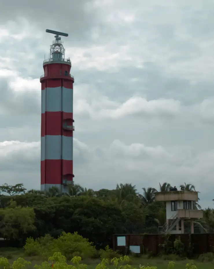
It combines beautifully with the rest of northern Vypin — Cherai Beach, Pallippuram Fort and the Vypin lighthouse are all close — plus an inexpensive, atmospheric ferry ride across the estuary.
Road km to Ernakulam; ghat roads and traffic vary — allow extra.
November to February for dry weather; avoid rough-sea days during monsoon warnings.
Live forecast loads in your browser.
Sun and moon are calculated for this location and shown in IST. Photography windows are the hour around sunrise and sunset; the sunset bearing is degrees clockwise from true north. Moon phase is accurate to about half a day.
Browse listed stays, food, activities, sights, shops and rentals around Munambam Beach. Check each listing’s locality and contact the business directly for current arrangements.
Restaurant at Cherai Beach Resorts for Vypin Island and Cherai beach visitors. Beach resort restaurant.
Maliekal Heritance is a beach-and-lake resort at Cherai Beach, Kochi. The operator lists garden-view and lake-view Jacuzzi categories, a Wooden Cottage labelled for couples only, and separate Insignia Private Pool and Infinity 360 Sea View Private Jacuzzi Pool categories. Choose the exact category; a Jacuzzi room does not establish an included private swimming pool.
A Beach Road hotel in Cherai with several room categories, including Superior, Deluxe and Suite options in its property description. The choice between sea-facing and backwater-facing rooms matters more than the general beach label. Confirm the assigned room’s view, beach access and meal plan before paying.
Cherai Beach Palace is a Cherai Beach Road stay useful for simple beach-base enquiries, direct room checks and Cherai / Vypin trip planning. Cherai, Beach Road, Hotel.
Beach and backwater resort at Cherai with direct official contacts. Cherai P.O., Kochi, Kerala 683514 · Cherai, Beach stay, Backwaters.
Cherai beach activity context for Vypin Island visitors comparing water-sport options. Beach water sports.
Kerala Tourism-listed Club Mahindra property on MLA Road, useful for family beach-stay planning around Cherai.
Visitor information in Cherai and Vypin. Cherai Beach, Vypeen Island, Kochi, Kerala.
Book with the place itself. India’s cyber-crime coordination centre warned in April 2025 that convincing copies of hotel and pilgrimage booking sites are being pushed through sponsored search and social ads, taking payment for rooms the property never hears about. Use the contact and source details on each profile to confirm the exact business and booking channel. A directory entry or map pin alone does not establish an operator’s identity or current availability. Roampedia takes no commission and does not collect booking payments. If a booking page reached you through an ad, check the address bar against the property’s own site before you pay. Fraud can be reported on cybercrime.gov.in or on 1930.
Find food, accommodation and activities across Cherai and Vypin. Browse the guides for places to eat, stay and explore along your route.
5 more places around Cherai and Vypin. Open a guide to plan the visit and onward journey.
7.8 km · straight line
A relatively quiet Vypin Island beach north of Kochi, with an open sandy shore and village approach distinct from Cherai and Puthuvype.
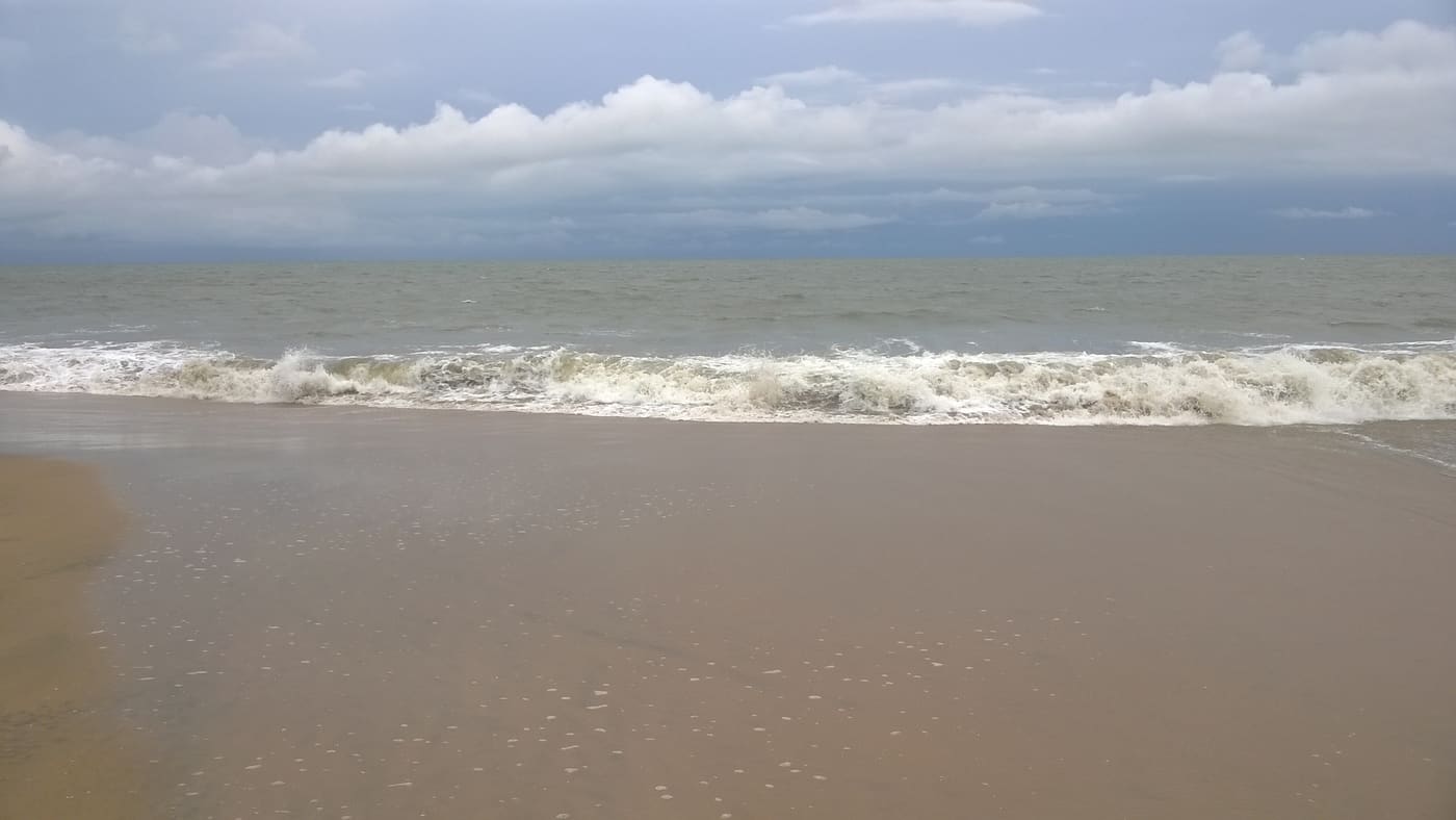
5.9 km · 6 min drive
Long beach on Vypin Island, one of Kochi’s easiest beach day trips.
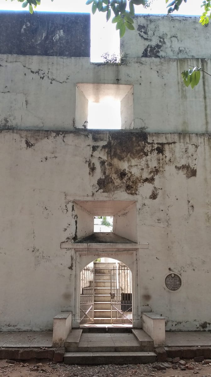
2.7 km · 3 min drive
Built by the Portuguese in 1503 at the north tip of Vypin, the oldest surviving European fort in India — a hexagonal laterite tower now protected as a monument.
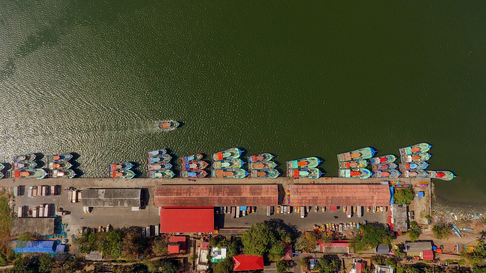
1.5 km · 18 min walk
One of Kerala’s biggest fishing harbours, at the northern tip of Vypin — a working quay of steel trawlers, ice plants and a dawn auction, and the yard where much of the south-west coast’s trawler fleet is actually built.
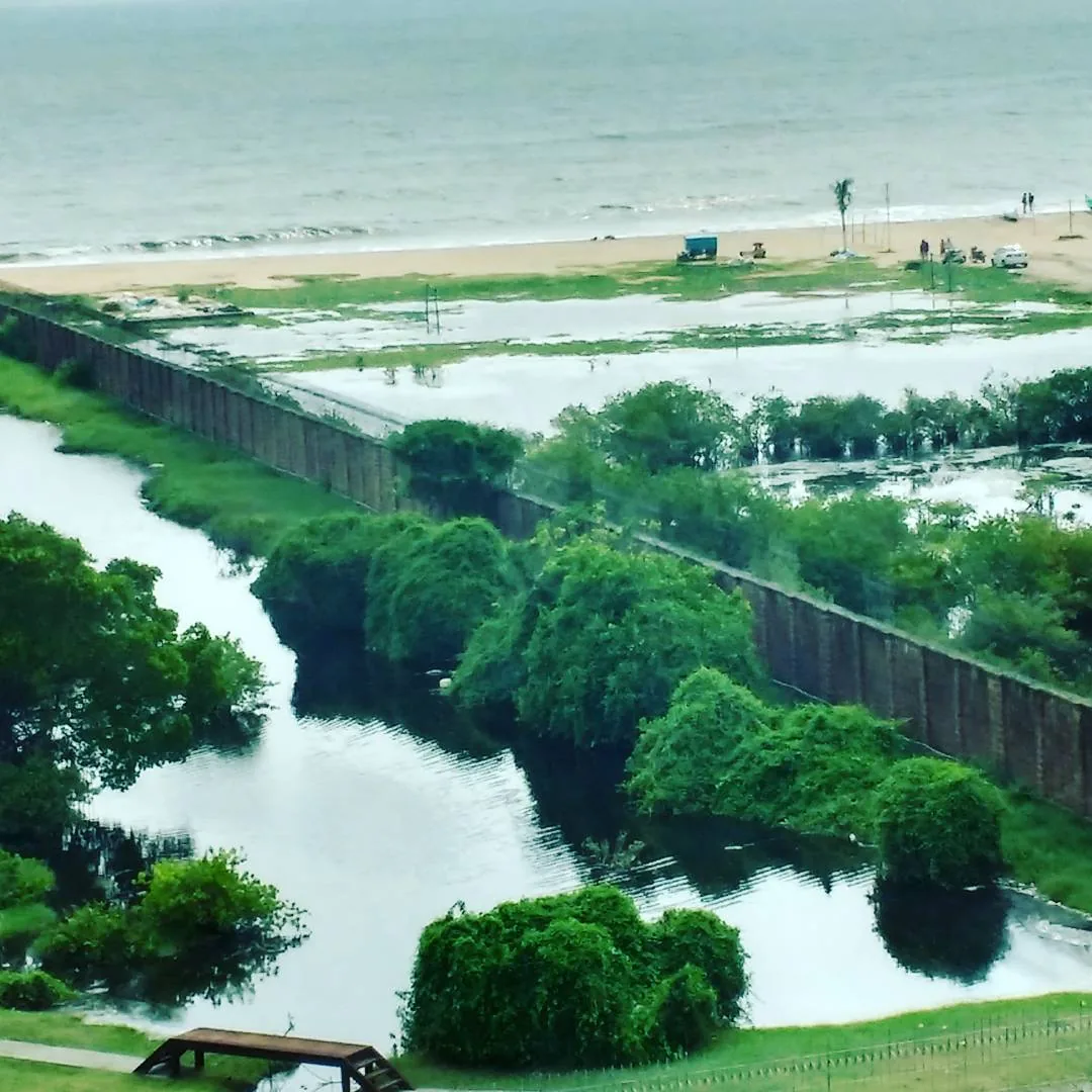
23.2 km · 26 min drive
A quieter Vypin-island beach near the Ochanthuruth lighthouse, reached by ferry or the Goshree bridges from Ernakulam.
Roampedia is commission-free — own or know a stay, eatery, guide or shop near Munambam Beach? Submit public business details for review.
Add a nearby businessEntry: Free to enter; you may pay only small sums for parking, a ferry ride or refreshments.
Photography: Excellent for photography — Chinese fishing nets, trawlers and the estuary make strong foregrounds, and the sunset over the Arabian Sea is the highlight. Early morning gives you the auction and colourful boats. Ask before photographing fishermen or people at work at the harbour.
If you are travelling by bus or ferry, check the return service with the operator before setting out. Leave time to reach the stop or jetty after your visit.
Ask at the bus stand for the time of the last service back, not the next one. If you miss it, an auto or app cab is the fallback — agree the fare before you get in.
If you need step-free access, contact the site before travelling. Ask about a level entrance, steps along the route, the nearest drop-off point, seating and accessible toilets.
These services are listed within about 1.2 km of Munambam Beach. Walking distances follow mapped routes; access and opening hours can change. Other services may be closer but are not included here.
Published emergency and visitor-assistance contacts. For an immediate emergency, call 112. Shared Kerala contact sources checked 4 October 2026; publication does not establish a tested live response.
One of Kerala’s biggest fishing harbours, at the northern tip of Vypin — a working quay of steel trawlers, ice plants and a dawn auction, and the yard where much of the south-west coast’s trawler fleet is actually built.
1.5 km · 18 min walkBuilt by the Portuguese in 1503 at the north tip of Vypin, the oldest surviving European fort in India — a hexagonal laterite tower now protected as a monument.
2.7 km · 3 min driveLong beach on Vypin Island, one of Kochi’s easiest beach day trips.
5.9 km · 6 min driveA relatively quiet Vypin Island beach north of Kochi, with an open sandy shore and village approach distinct from Cherai and Puthuvype.
7.8 km · straight lineA quieter Vypin-island beach near the Ochanthuruth lighthouse, reached by ferry or the Goshree bridges from Ernakulam.
23.2 km · 26 min drive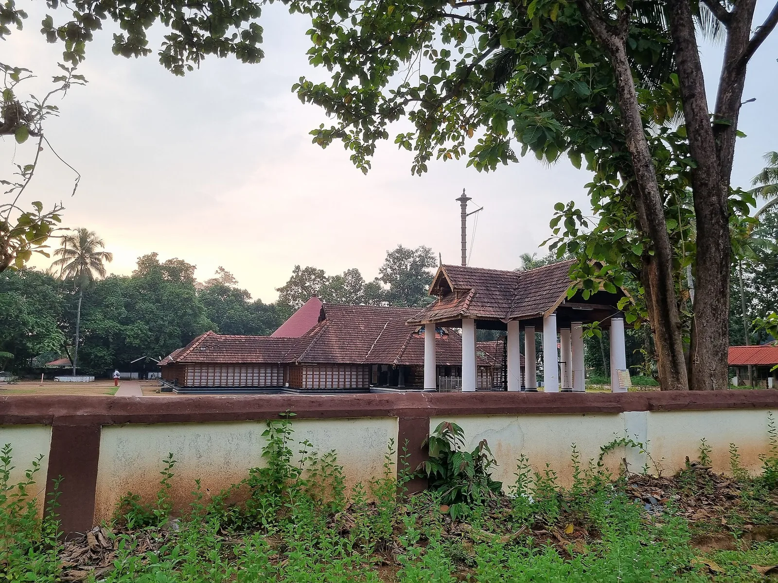
The only major temple to Vamana in Kerala, at Thrikkakara near Kakkanad — traditionally regarded as the origin place of the Onam festival.
23.8 km · straight line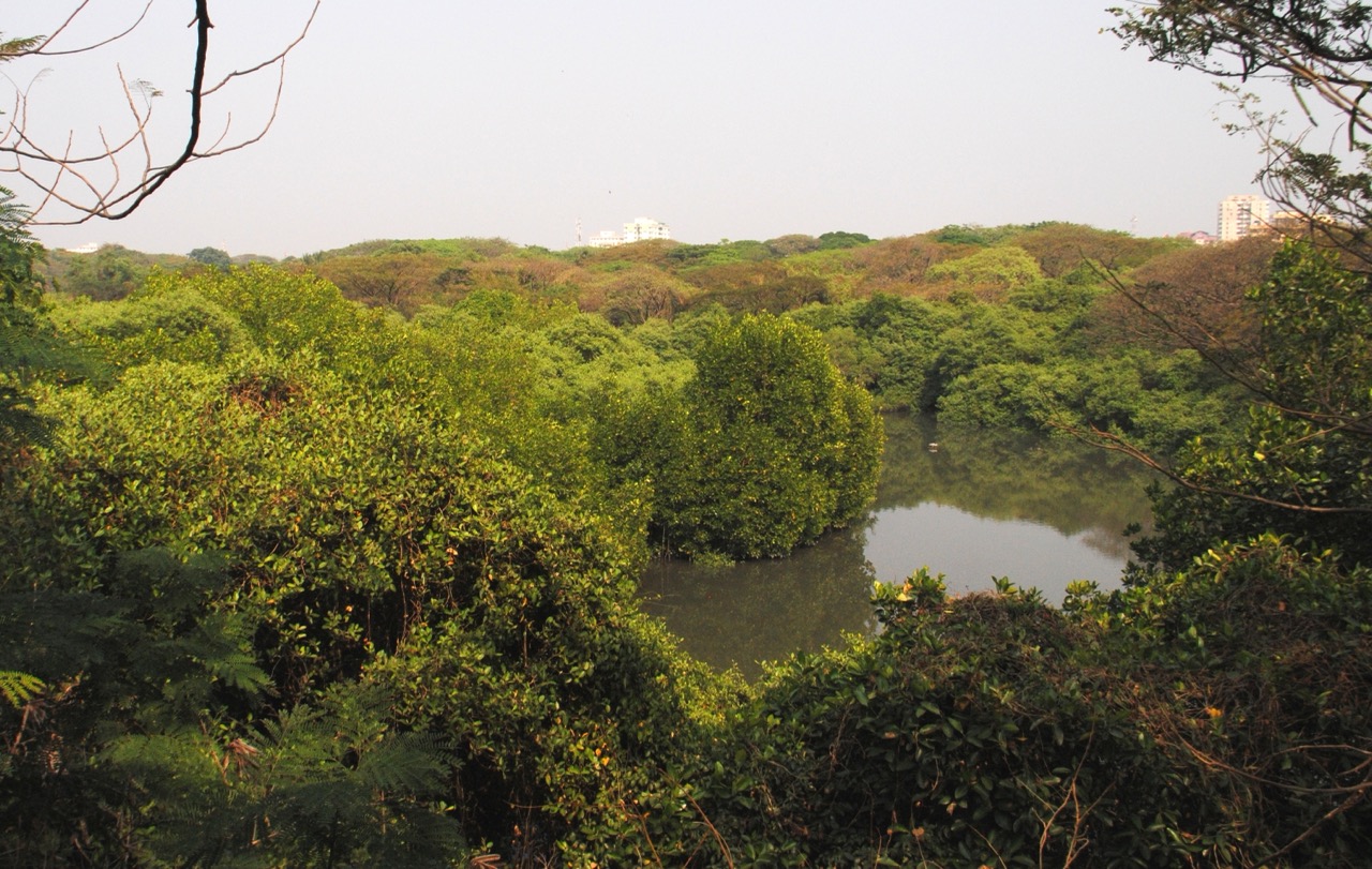
A small mangrove “green lung” behind the High Court in Ernakulam, a nesting site for migratory and resident birds.
23.9 km · straight line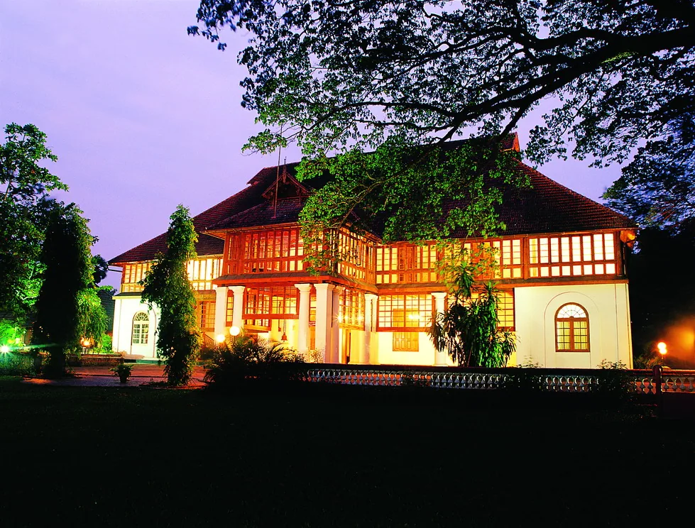
A 1744 Dutch palace on Bolgatty Island, one of the oldest existing Dutch palaces outside the Netherlands, set in island gardens (now a KTDC heritage hotel).
24.0 km · straight line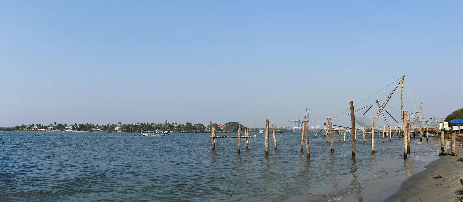
Kochi’s iconic cantilevered shore-operated fishing nets along the Fort Kochi seafront at Vasco da Gama Square, best photographed at sunset.
24.6 km · straight line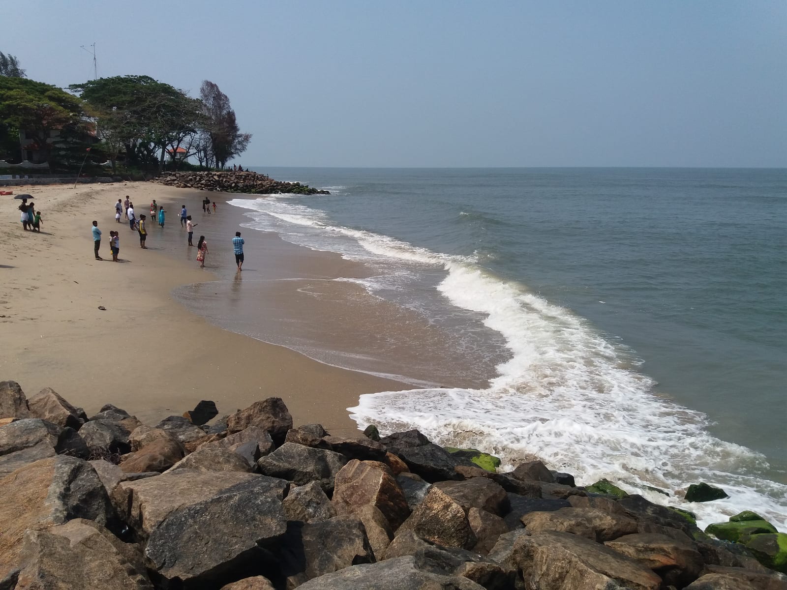
Public seafront beside the Chinese fishing nets — a walking-and-sunset beach, not a swimming beach.
24.6 km · straight line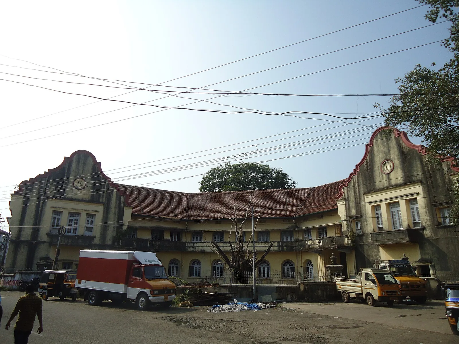
A large 19th-century waterfront trading compound in Fort Kochi, the principal venue of the Kochi-Muziris Biennale.
24.7 km · straight line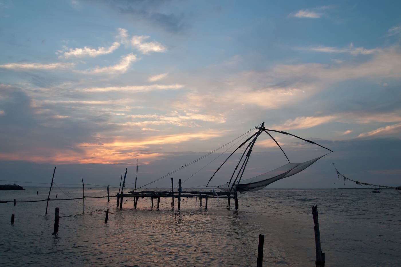
Kerala’s most walkable heritage quarter, with Chinese fishing nets, colonial churches, art cafes and Mattancherry nearby.
24.8 km · straight lineRoad and walking figures are route estimates, with travel times dependent on access, traffic and conditions. Figures marked “straight line” show direct separation and do not describe a road or walking route. Fare estimates use Kerala’s 26 April 2022 auto/taxi notification and exclude waiting, night and applicable one-way surcharges. Confirm the current meter or operator quote before travelling. Routing: © openrouteservice.org by HeiGIT | Map data © OpenStreetMap contributors
Nearby toilets, pharmacies, ATMs, seating and vets are community-mapped and may be incomplete or out of date. Map data © OpenStreetMap contributors | Walking times © openrouteservice.org by HeiGIT
It is read as the Malayalam munambu — a cape or headland, a piece of land running out into the sea. The name describes a promontory, not a beach, and that is exactly the geography that makes the water here dangerous: the land ends, the river arrives, the tide comes the other way, and all of it passes through one shifting gap.
Not really — treat it as a place to look and walk rather than to bathe. It sits at a river-mouth where the Periyar meets the sea, so currents can be strong and unpredictable, and the shore is also the approach to a busy working harbour with boat traffic. For a proper swim, nearby Cherai Beach is the safer, more suitable choice.
The main draws are the fishing harbour and its early-morning auction, the traditional Chinese fishing nets, the estuary where the river meets the sea, sunsets, kite-flying and birdwatching. Many visitors combine it with Cherai Beach, Pallippuram Fort and the Vypin lighthouse, and take a short ferry ride across the estuary.
Cherai, a few kilometres south, is the popular leisure beach with calmer swimmable stretches, shacks and a lively crowd. Munambam is quieter, rawer and more of a working estuary and fishing-harbour scene — better for atmosphere, photography and local life than for a beach day.
The dry, cooler months of roughly October to March are most pleasant. Go early in the morning to catch the fish auction and the harbour at its busiest, or in the late afternoon for the sunset and kite-flying.
No — the beach is open and free to visit. You may pay small amounts only for things like parking, a ferry crossing or any refreshments you buy locally.
Yes — ferries and country boats cross the estuary from the Munambam side, a cheap and characterful way to ride with local commuters (routes and timings vary — confirm locally on the day). It is one of the nicest ways to experience the river-mouth from the water.
Entry: Free to enter; you may pay only small sums for parking, a ferry ride or refreshments. Timings: The beach is open and accessible through the day and there is no gate; sunrise to sunset is the practical window. The adjacent fishing harbour and fish market are busiest very early in the morning when the catch is landed and auctioned, and again as boats return — exact landing and auction times shift with the fishing and the tide.
Base yourself in Cherai and Vypin or a nearby town in Ernakulam, then confirm the last-mile route locally before leaving. Arrive before sunset if you want photos and a calmer walk; beach roads can slow down in the evening. If the visit depends on forest, temple, boat, ferry, weather or seasonal access, check the official/local rule on the day before travel.
1 to 3 hours, longer if staying for food or sunset.
Nearby you can pair Munambam harbour (1.5 km, route estimate), Pallipuram Fort (2.7 km, route estimate), Cherai Beach (5.9 km, route estimate), Kuzhupilly Beach (7.8 km, approximate straight-line separation).
Do not swim during rough-sea warnings. Avoid isolated stretches after dark unless with a trusted local/operator.
Written about Munambam Beach itself — its history, its legends and the arguments about them.

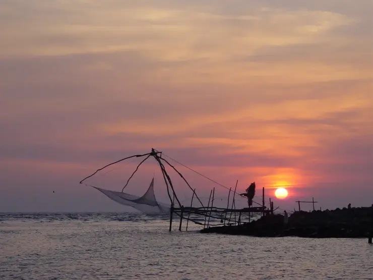
These guides explore Cherai and Vypin and the surrounding area. Choose a visit that fits your interests, allowing separately for travel between stops.


Route-level itineraries and practical guides for the rest of Kerala.