What to expect
Highlights
- Heritage experience at Village walks
- Architecture, local stories and old trade/cultural routes
- Good fit for guided walks and nearby cafes/shops
Guided walking routes through Kumbalangi’s lanes and working yards — coir twisting, toddy tapping, clam-shell collecting, prawn-filtration ponds and crab farms — run by the village’s own hosts rather than by an outside operator.
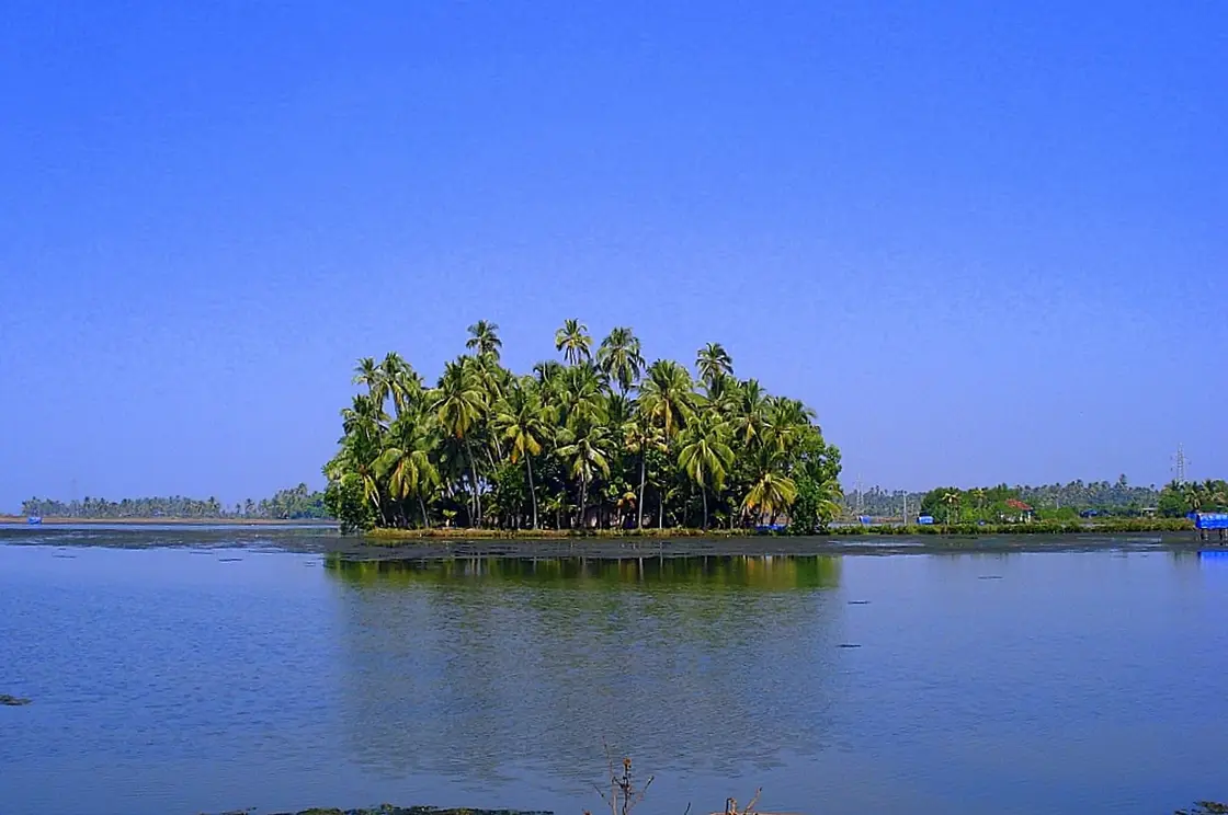
The thing that makes a walk here worth paying for is not the lanes — you could wander those alone for nothing. It is that a village host can take you into a yard where a man is twisting coir from soaked husk, or stand you under a coconut palm as a tapper goes up it with a knife and a foot loop and no harness at all. Kumbalangi's walking routes are short, flat and unremarkable to look at. What they buy you is access to people working, and permission to watch.
A guided walk here is arranged rather than scheduled. There is no ticket office and no departure board: you fix it through a homestay, a village host or a local guide, and the route is built out of whoever is working that morning. That is why two visitors can do a 'Kumbalangi village walk' on consecutive days and see quite different things, and why asking in advance which working stops are included is the single most useful question you can put.
The toddy tapper is usually the moment people remember. He goes up a coconut palm using a loop of rope between his feet and nothing else — no ladder, no harness — taps the inflorescence, and collects the sap that ferments into toddy through the day. It takes him a couple of minutes and it is genuinely alarming to watch. It is also an ordinary job that several men in the village do several times a day.
Coir is the older trade. Coconut husk is soaked in the backwater for months until it softens, then beaten and the fibre twisted into rope — by hand, or on a simple spinning frame. It is slow, repetitive, badly paid work that built a large part of coastal Kerala's economy, and seeing ten minutes of it tells you more about this coast than a museum case would.
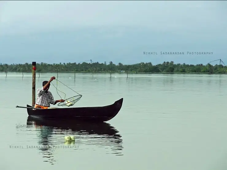
Then there is the least photogenic stop and, for most people, the most interesting: clam shell being burnt for lime. Clams are collected from the creek beds by feel, with the feet, in shallow water; the meat is eaten or sold and the shells accumulate in mounds and are fired to make lime, which goes into building and whitewash. Nothing about it is picturesque. It is a complete little economy running off the bottom of a creek.
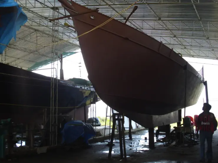
The rest of a good route fills in around those: prawn filtration at a sluice gate, with the pokkali cycle explained where you can see the gate; a man building a country boat, or a scale model of one, and the joinery that holds a hull together without a drawing; a net platform; somebody's yard. The walk is two to three hours and it is almost entirely flat. The distance is not what tires people — the heat is.
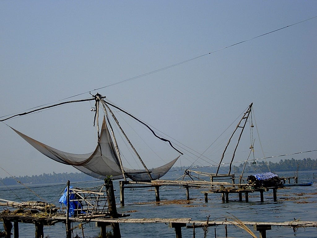
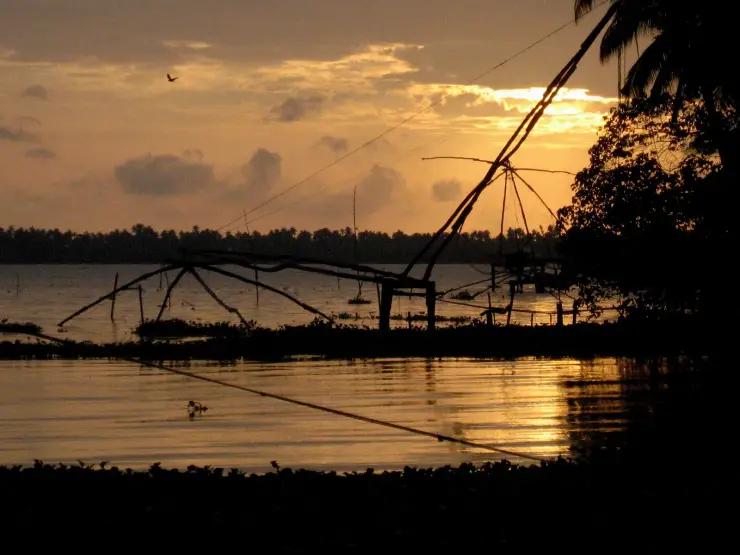
If the route reaches a Chinese net, stand on the platform rather than photographing it from the bank. There are said to be more than a hundred of them working in the water around this village, and unlike the row at Fort Kochi they are not being dipped for an audience — they go down and come up on the tide, four or five men leaning on the counterweight stones, for whatever the creek gives that hour. The catch is frequently disappointing and nobody pretends otherwise. Watching a lift come up nearly empty, and watching how little fuss is made about it, tells you more about the economics of this coast than a good haul would.
The most remarkable thing you will walk past here looks like a slightly scruffy paddy field, and it is one of the oldest continuously practised farming systems on earth. Pokkali is a saline-tolerant rice, grown in these waterlogged coastal fields for something on the order of three thousand years, and the way it is farmed is genuinely difficult to believe when you first hear it.
The system alternates. Through the monsoon, when rain pushes the salt back, the fields grow rice — a tall, salt-hardy variety that tolerates water that would kill any ordinary crop. Then the harvest comes, the sluice gates open, and salt water and prawn larvae flood in. For the saline months the same field is a prawn pond. When the prawns are harvested the gates open again, the rains return, and it becomes a rice field. Rice, prawn, rice, prawn, turning with the seasons in the same square of mud.
And nothing is added. No fertiliser, no pesticide. The rice takes its nutrients from what the prawns leave behind; the prawns feed on what the rice stubble leaves behind. It is a closed organic loop that was running for millennia before anyone invented the word organic, and it is the reason pokkali rice carries a Geographical Indication tag, granted in 2007.
The uncomfortable part is that it is going. Pokkali cultivation has contracted sharply — the rice half of the cycle is labour-intensive and poorly paid, prawns alone are more profitable, and a system that only works if both halves keep turning does not survive one of them being abandoned. Commentary in the agricultural press has described the variety as possibly heading for extinction. If your walk takes you past a working pokkali field with the gate being managed, you are looking at something that has been done here since before the Roman ships came for pepper, and that may not be done here in fifty years.
There is an origin story attached to the rice, and it is the kind that sounds invented until you notice how well it fits the geography. Tradition holds that pokkali was not a coastal crop at all: it grew in the upper reaches of the Western Ghats, in what is now Idukki, until a great flood on the Periyar in the fourteenth century carried the seed down the river and spread it across the low ground at Ezhikkara and the coastal villages of Ernakulam, Alappuzha and Thrissur. A grain that came down a river in a disaster and then learned to live in salt is a good deal more interesting than a grain that was simply planted, and it is a story worth asking a farmer about, because the version you get in the field is rarely the version in print.
The name carries the same idea. Pokkam is height in Malayalam and aali is plant, and the rice earns it: to keep its head above the tide it grows to about a metre and a half, far taller than anything in an inland paddy. At harvest only the top thirty centimetres or so is cut — just the panicle — and the whole standing forest of stalk is left in the water to rot down, which is precisely what the prawns arriving in November come to feed on. The apparently careless harvest is the mechanism.
One more thing to look for at the gate. The prawn half of the year is often not worked by the landowner alone. The flooded field is leased or run jointly for those five months — chemmeen kettu, the prawn tie-up, managed by a farmers' collective, a karshaka samajam, or by a single bidder who has taken it for the season. So the man you meet minding a sluice in January may have no connection to the man who grew rice in the same mud in September, and the field changes hands twice a year without changing owner. Ask whose kettu it is; the answer is usually a small local history in itself.
These trades are the village's actual history, and they long predate any interest in visiting them. Fishing, coir, lime from shell and pokkali rice were what Kumbalangi did, in the same creeks, for generations before 2003.
The idea of walking visitors through them is the core of the model tourism village concept launched that year under panchayat president M C Sivadathan with state assistance — the first project of its kind in India. The design intent was explicit: no resorts, no purpose-built tourist structures, and the income reaching the households whose work was being shown rather than an operator based in the city.
How well that has held is a fair question. The infrastructure side of the project is largely unbuilt — around 15 per cent complete by 2025 reporting, 22 years on. The community side has fared better, in that walks and homestays are still run out of households here rather than sold as a packaged product by an outside company. But the underlying trades are thinning: pokkali has been widely abandoned for more profitable fishing, and the crafts a walk shows you are practised by fewer people each decade.
One part of the programme did get built, and you will walk past it without noticing. Around six hundred household biogas plants were installed here, making Kumbalangi the first panchayat in Kerala to handle its domestic waste that way — kitchen waste in at the back of the house, cooking gas out. It is an unglamorous thing to point a visitor at and it is arguably the most successful single component of the 2003 project. If your host has one, ask to see it; it explains more about what the village was trying to be than the tourism signage does.
It is worth knowing who lives in the place you are walking through. The 2011 census counted 42,367 people on this sixteen square kilometres, with literacy just under 96 per cent, and roughly three quarters of the village is Latin Catholic — a fishing community, with the parish churches and their feast days as the calendar most households actually keep. The walk is sold as a craft route, but the social fabric it crosses is a coastal Christian fishing village, and the two are not separable.
It is the only way to get inside the working yards. The lanes are public; the yards are not, and the difference between the two is the entire value of a guide here.
The toddy tapper alone is worth the walk — it is one of those things that is completely routine locally and completely startling to watch.
It is genuinely flat and short, which makes it one of the more accessible cultural experiences in the district for anyone who cannot manage steps or long distances.
The money goes to the household doing the work rather than to an operator in Kochi, which is the whole premise of this village and is unusually easy to verify here.
You come away actually understanding the pokkali cycle, the coir chain and the lime economy, rather than having read three sentences about them on a board.
It pairs perfectly with a dawn canoe and a homestay dinner to make a single unhurried day that has nothing scheduled in it.
Road km to Ernakulam; ghat roads and traffic vary — allow extra.
November to February and early mornings are best for walking; avoid midday heat where possible.
Live forecast loads in your browser.
Sun and moon are calculated for this location and shown in IST. Photography windows are the hour around sunrise and sunset; the sunset bearing is degrees clockwise from true north. Moon phase is accurate to about half a day.
Verified hotels, homestays, restaurants, experiences, sights, shops and rentals around Village walks — commission-free, with direct contact. Filter by what you need.
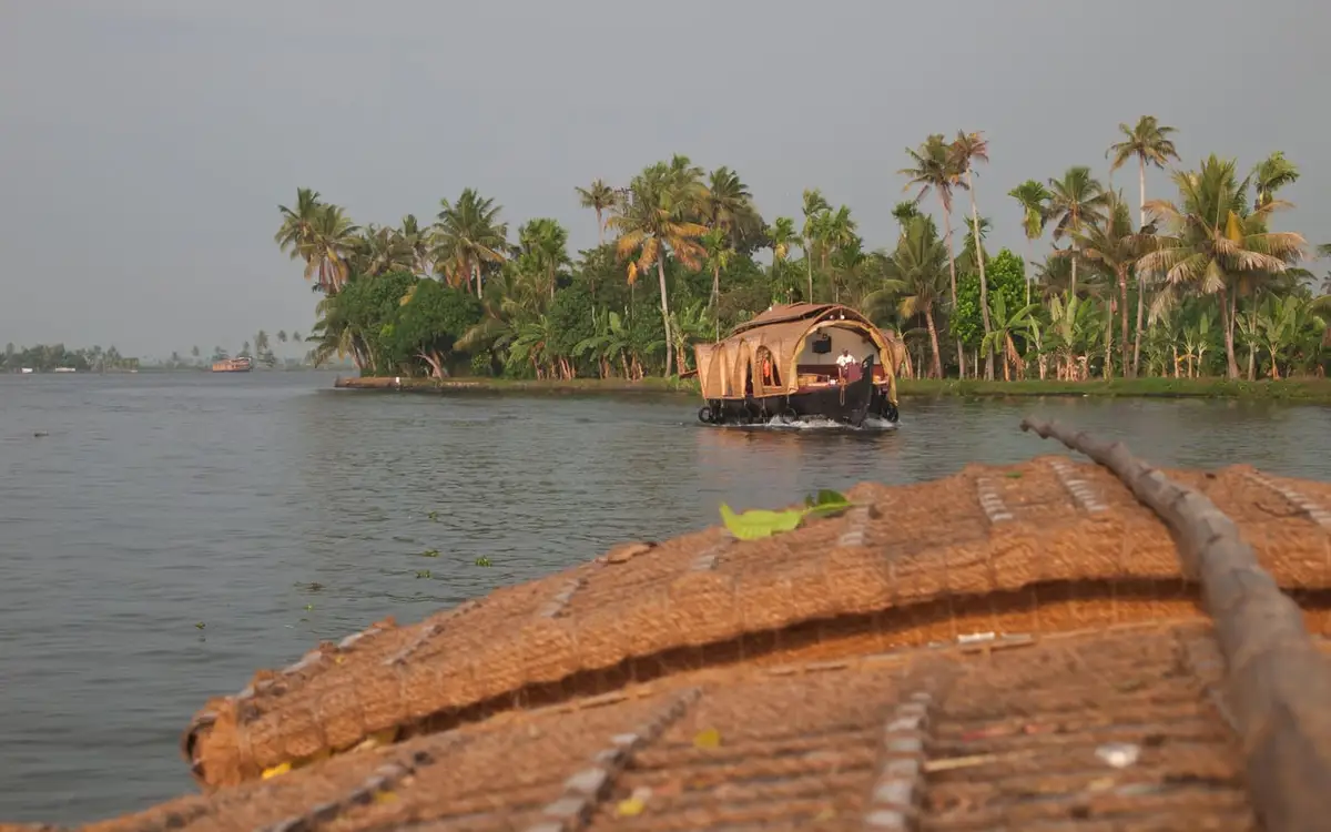
The great backwater lake system Kochi’s harbour opens from — this record marks the water itself; boat trips from the Fort Kochi and Mattancherry jetties are the way onto it.

Kumbalangi village seafood lunch experience for backwater and responsible-tourism visitors. Kumbalangi, eat, Village seafood meal.
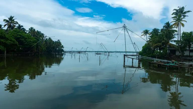
Kerala Tourism destination record for Kumbalangi’s village and backwater experience. Depends on booked activity; confirm with provider · Kumbalangi, Village tourism, Backwaters.
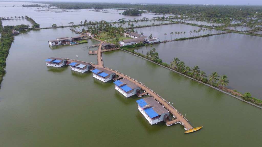
Kerala Tourism-listed floating resort at Puthankary, Kumbalangi. Kumbalangi, Floating resort, Backwaters.
Kumbalangi church record near the island village; verify the exact parish, visitor access and service timing locally before routing travellers there.
Book with the place itself. India’s cyber-crime coordination centre warned in April 2025 that convincing copies of hotel and pilgrimage booking sites are being pushed through sponsored search and social ads, taking payment for rooms the property never hears about. Every listing here links to the business’s own contact details and its own Google or Bing profile — we take no commission and sit in nobody’s payment path. If a booking page reached you through an ad, check the address bar against the property’s own site before you pay. Fraud can be reported on cybercrime.gov.in or on 1930.
Find food, accommodation and activities across Kumbalangi. Browse the guides for places to eat, stay and explore along your route.
Walking routes start at Village walks. Check the route and access before setting out, especially where a road, gate or waterway separates the stops.
4 more places around Kumbalangi. Open a guide to plan the visit and onward journey.
1.7 km · 21 min walk
Model tourism village known for backwater life, fishing and village experiences.
2.0 km · 24 min walk
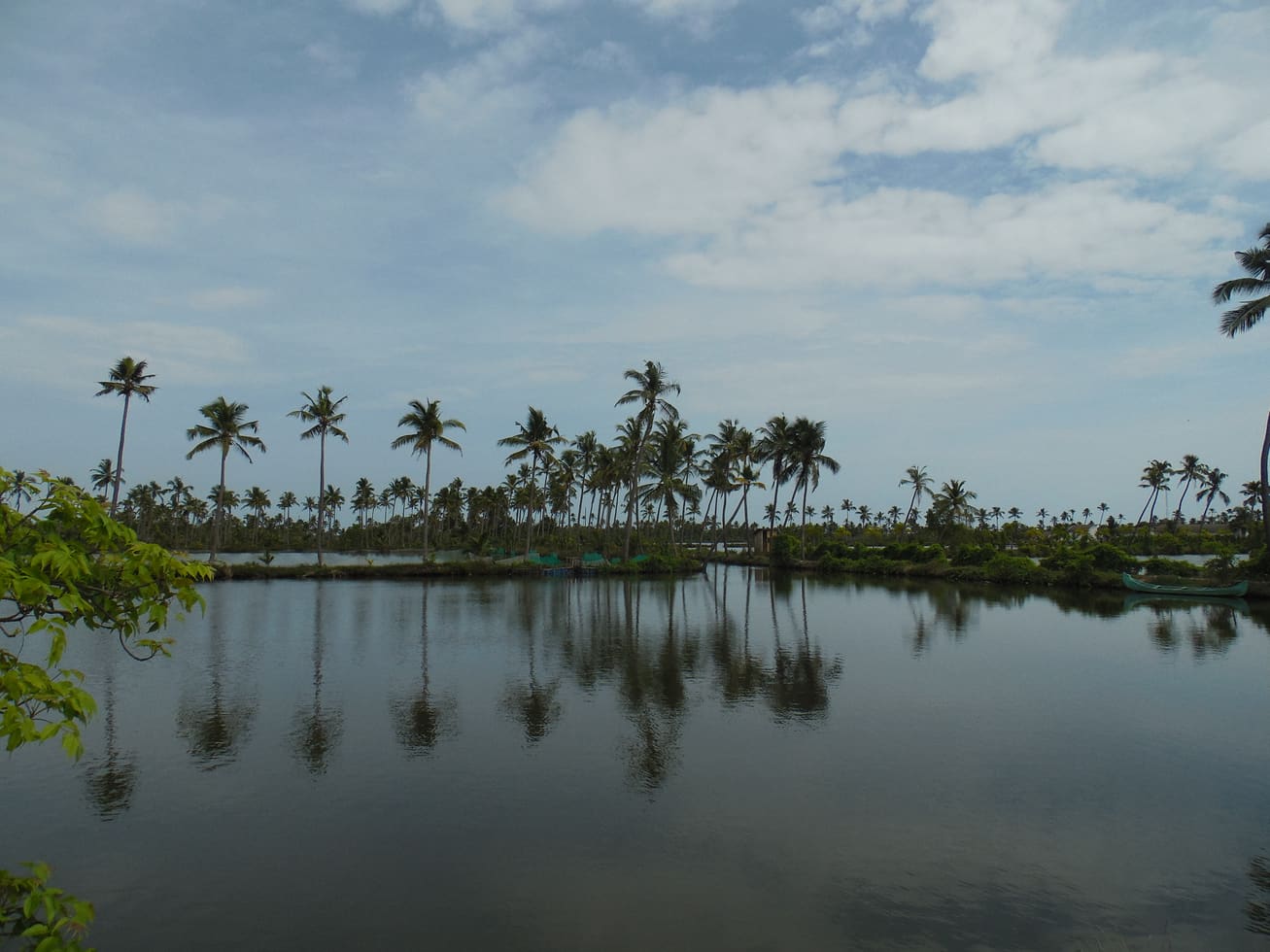
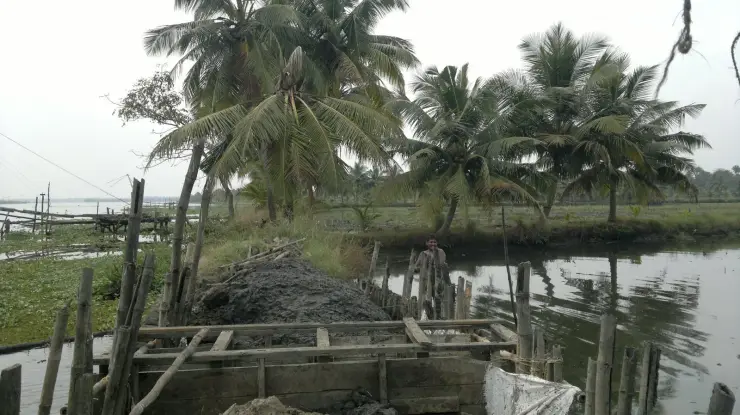
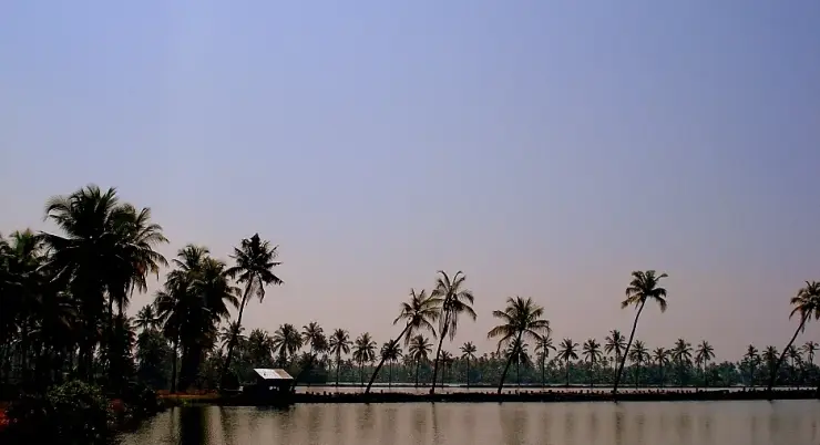
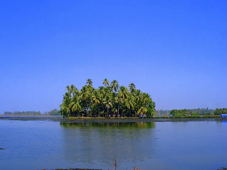
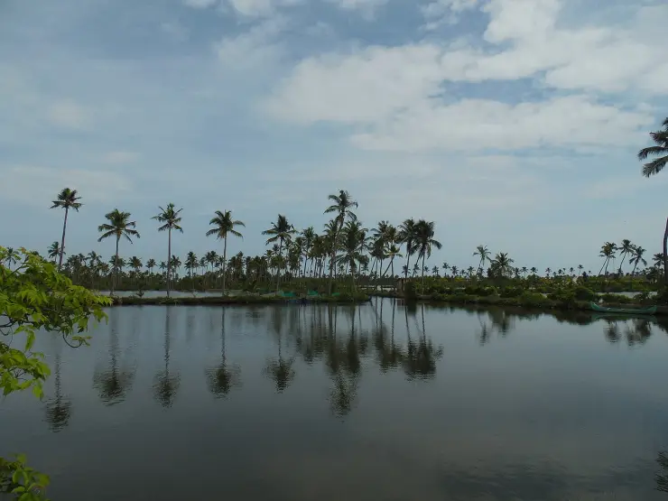
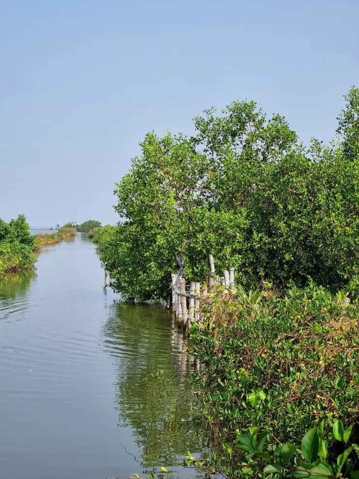
The tidal creeks and pokkali fields that wrap Kumbalangi island — canoe and country-boat water, worked for clam, prawn and crab rather than laid out for houseboats, and calm enough that the far bank mirrors in it at first light.
1.4 km · 16 min walk
Kumbalangi’s own cantilevered cheena vala, worked on a village creek instead of a tourist seafront — fewer, quieter and still fished for a living, which is the whole difference from the Fort Kochi row.
270 m · 3 min walk
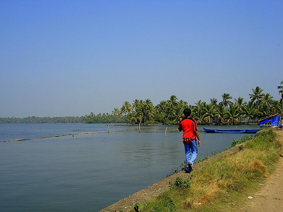
The North Kumbalangi homestay belt, where the draw is eating karimeen, clam and crab cooked in a family kitchen from that morning’s catch — the food is the reason to stay, not an amenity attached to the room.
Roampedia is commission-free — own or know a stay, eatery, guide or shop near Village walks? List it and it appears here once verified.
Add a nearby businessEntry: Priced by the host, not by a tariff. A guided walk is arranged through a homestay, the panchayat's tourism hosts or a local guide, and the rate depends on the length of the route, the number of working stops included and the size of the group. Agree it before you set out. There is no ticket to walk the public lanes on your own.
Photography: Every stop on a village walk is somebody's workplace or somebody's yard. Ask first, every time. A guide will tell you who is happy to be photographed, which is one of the practical reasons to take one.
If you are travelling by bus or ferry, check the return service with the operator before setting out. Leave time to reach the stop or jetty after your visit.
Ask at the bus stand for the time of the last service back, not the next one. If you miss it, an auto or app cab is the fallback — agree the fare before you get in.
If you need step-free access, contact the site before travelling. Ask about a level entrance, steps along the route, the nearest drop-off point, seating and accessible toilets.
These services are listed within about 1.2 km of Village walks. Walking distances follow mapped routes; access and opening hours can change. Other services may be closer but are not included here.
Emergency numbers are verified against official government and state tourism sources. 112 works anywhere in India.
The North Kumbalangi homestay belt, where the draw is eating karimeen, clam and crab cooked in a family kitchen from that morning’s catch — the food is the reason to stay, not an amenity attached to the room.
270 m · 3 min walkKumbalangi’s own cantilevered cheena vala, worked on a village creek instead of a tourist seafront — fewer, quieter and still fished for a living, which is the whole difference from the Fort Kochi row.
1.4 km · 16 min walkModel tourism village known for backwater life, fishing and village experiences.
1.7 km · 21 min walkThe tidal creeks and pokkali fields that wrap Kumbalangi island — canoe and country-boat water, worked for clam, prawn and crab rather than laid out for houseboats, and calm enough that the far bank mirrors in it at first light.
2.0 km · 24 min walk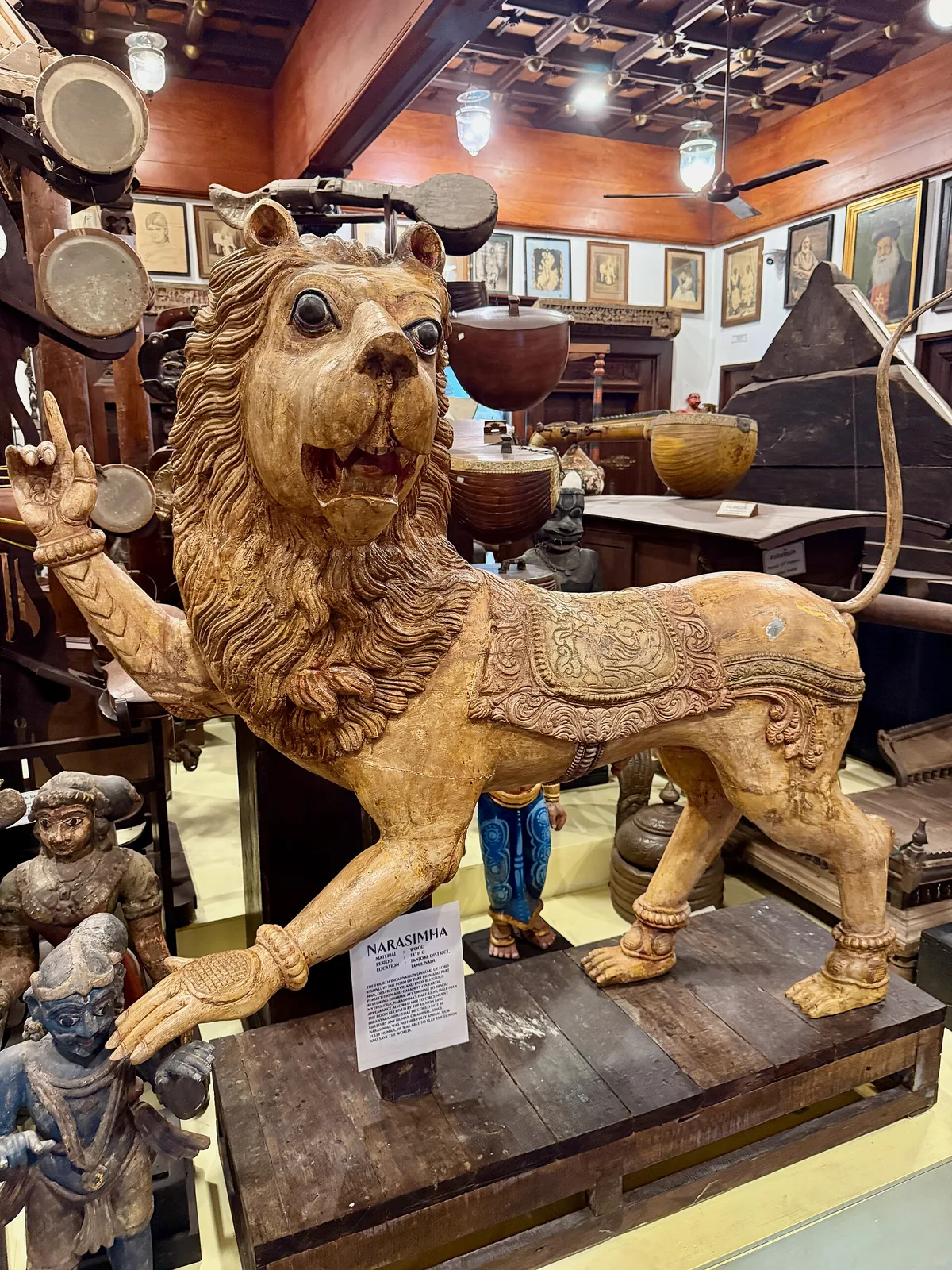
A privately built museum at Thevara with thousands of Kerala folk and ritual artefacts across Malabar, Kochi and Travancore styles.
5.1 km · ~13 min by auto · straight line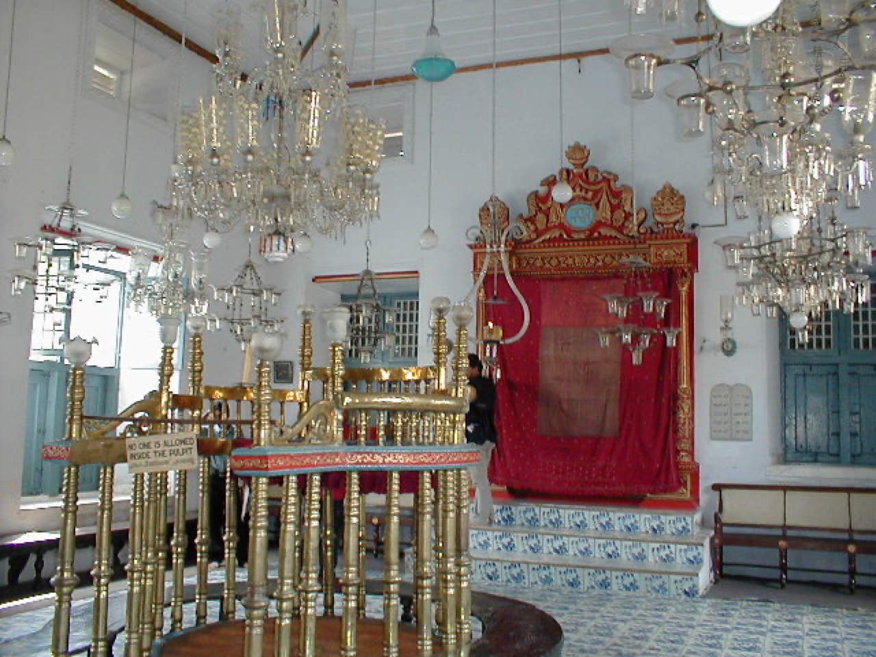
The oldest active synagogue in the Commonwealth (1568), in Jew Town, Mattancherry, with hand-painted Chinese floor tiles.
8.2 km · ~14 min by cab · straight line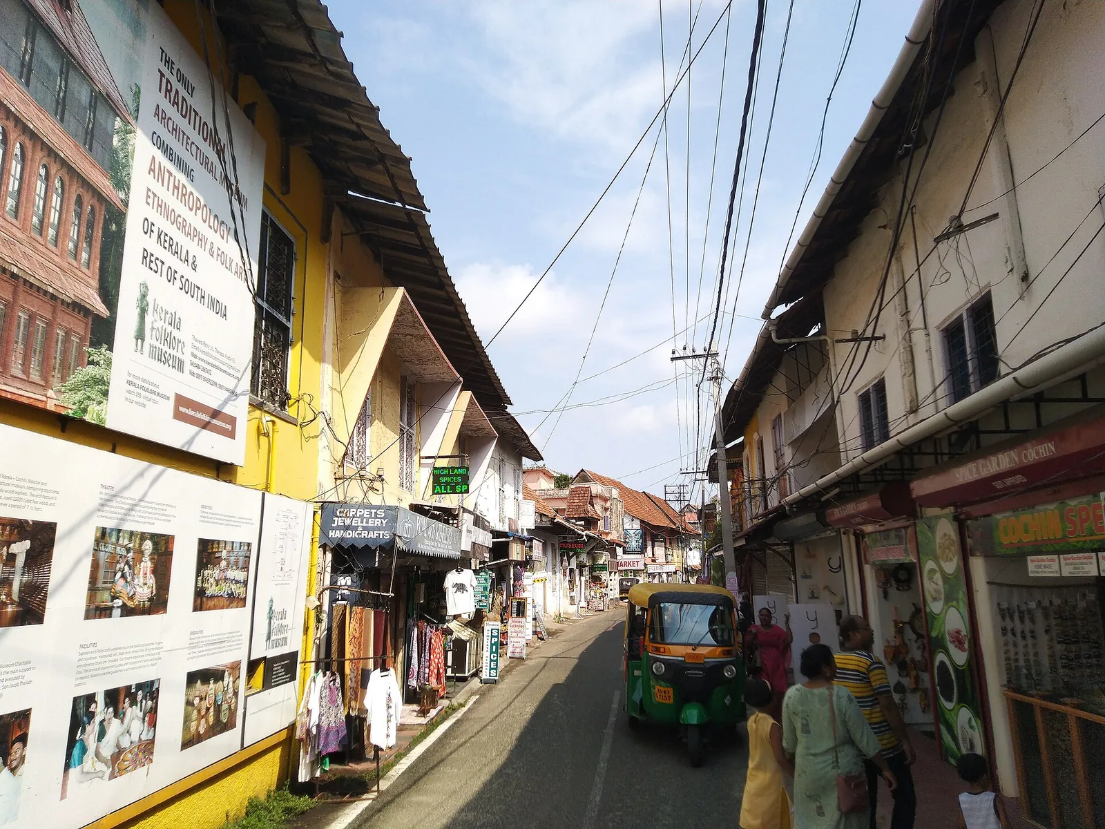
Spice warehouses, antiques, Mattancherry Palace and Paradesi Synagogue.
8.2 km · ~14 min by cab · straight line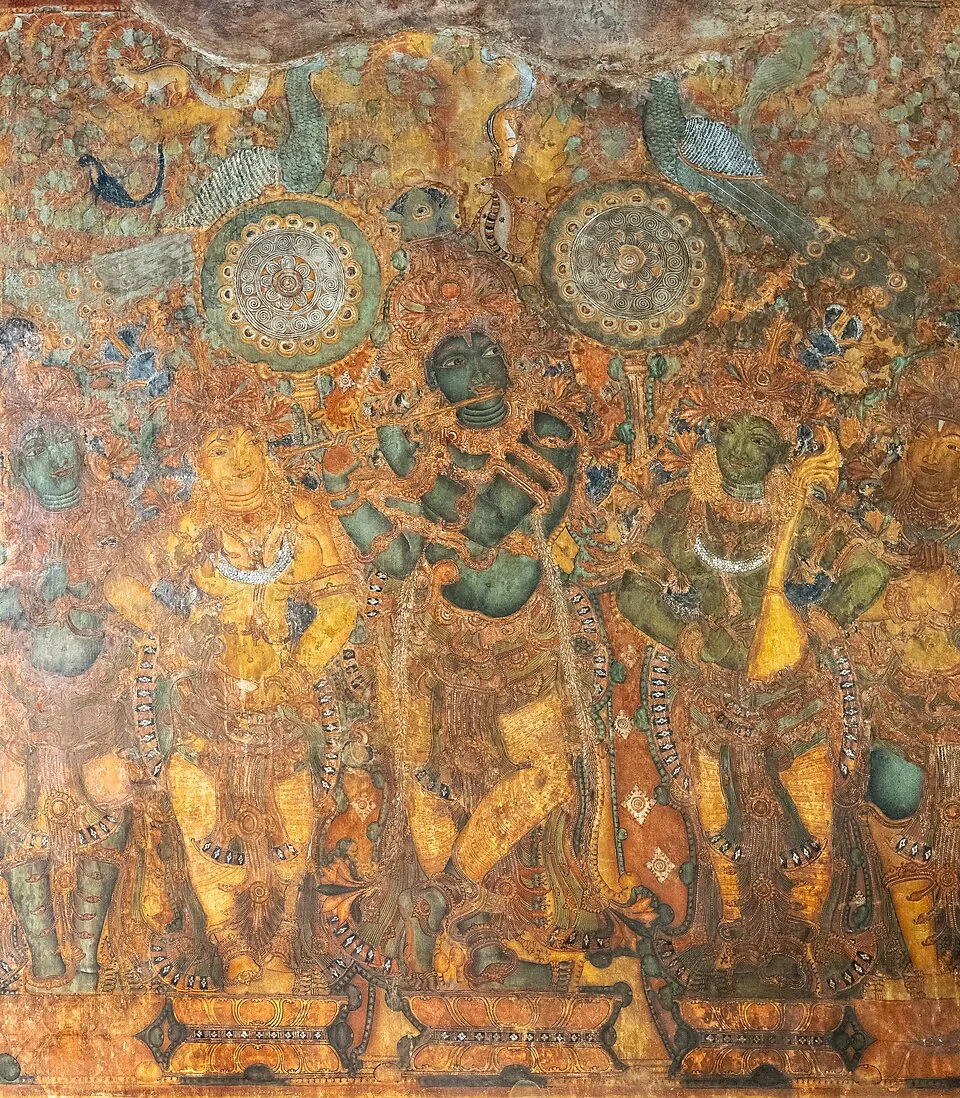
The Mattancherry Palace, known as the Dutch Palace, with celebrated Kerala mural paintings from the Ramayana and royal portraits.
8.3 km · ~14 min by cab · straight line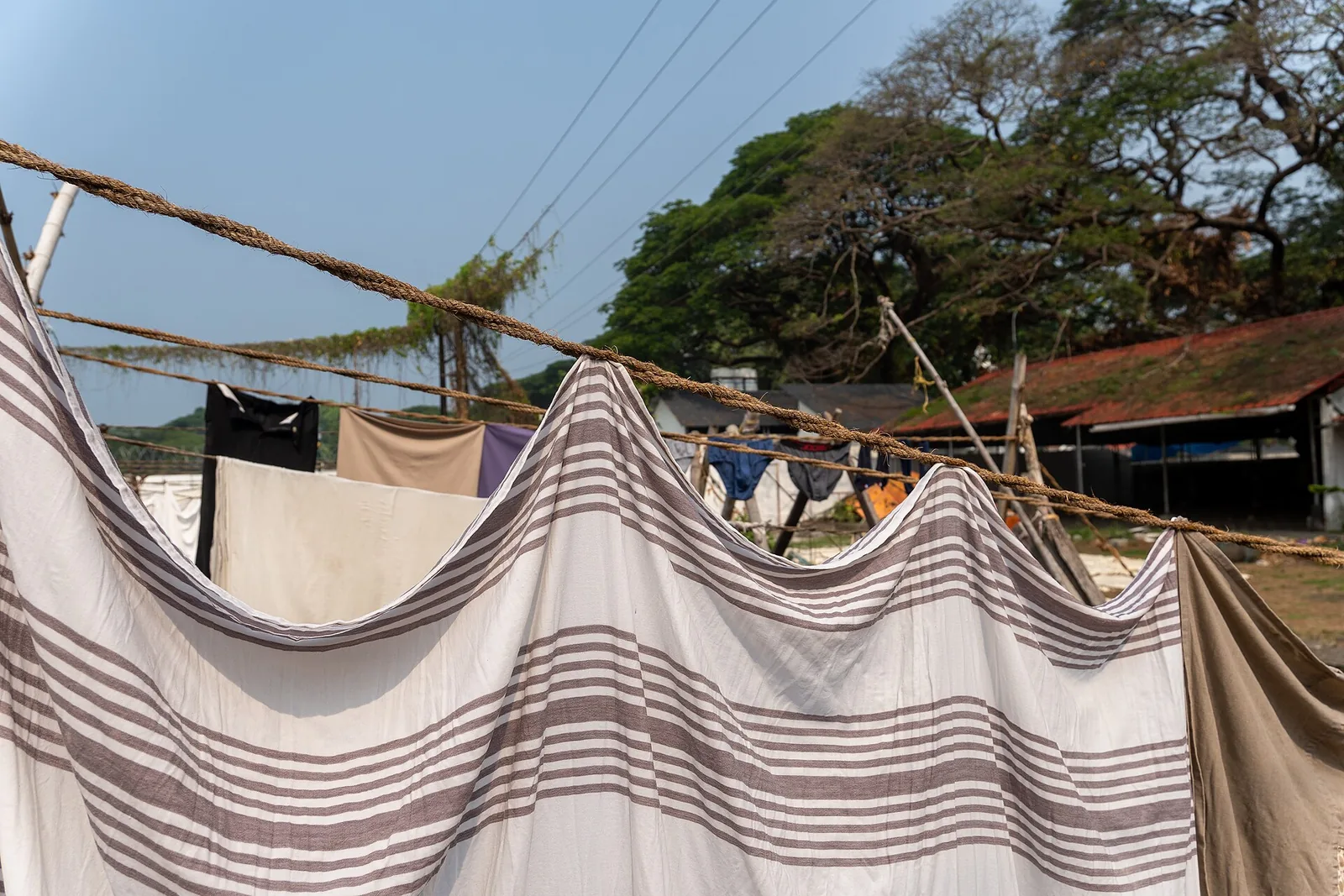
A working colonial-era community open-air laundry in Fort Kochi, still used by traditional washermen families.
8.3 km · ~14 min by cab · straight line
A historic Gowda Saraswat Brahmin temple in Cherlai, Mattancherry, central to Kochi’s Konkani community.
8.4 km · ~14 min by cab · straight line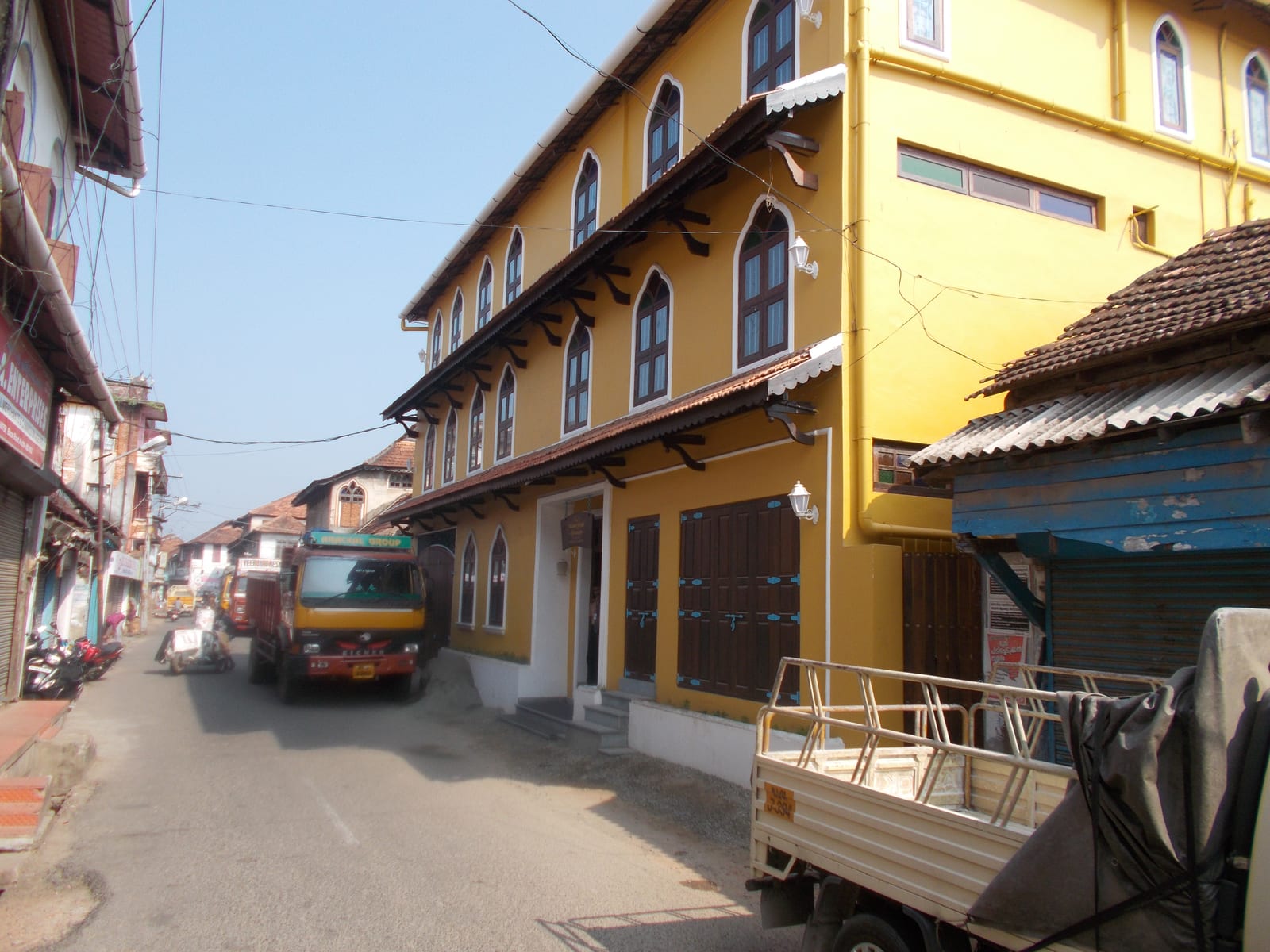
The working spice quarter along Mattancherry’s Bazaar Road — godowns where pepper, ginger, turmeric and cardamom are still graded, sacked and weighed, and where the smell reaches the street before the signage does.
8.5 km · ~14 min by cab · straight line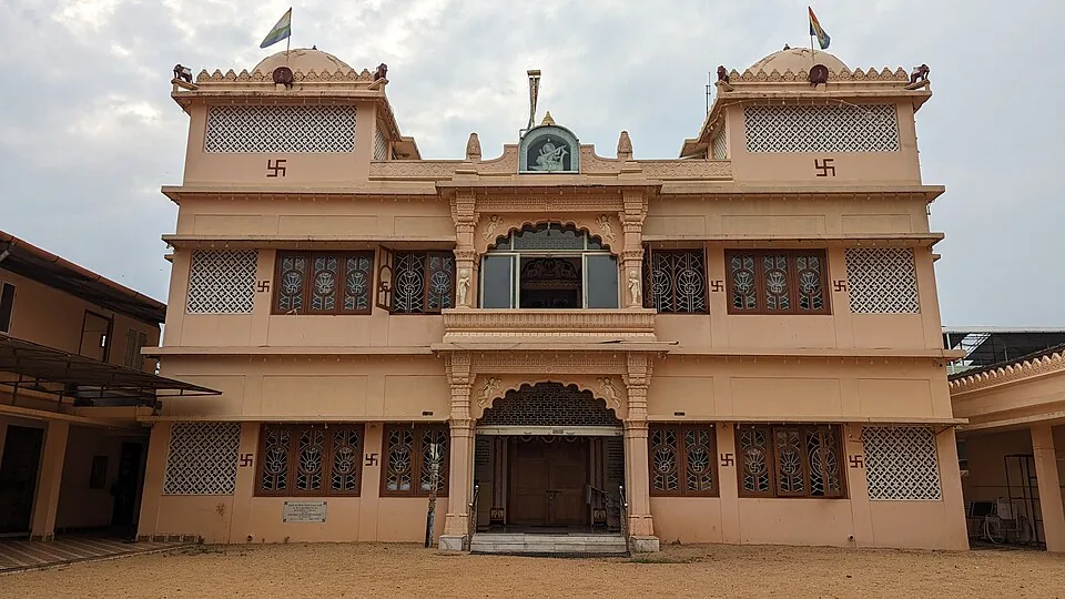
An ornate Jain temple in Mattancherry’s Gujarati quarter, raised in 1904 by Hirubai in memory of her husband Jivraj Dhanji and dedicated to Dharmanatha, the fifteenth Tirthankara — known for its white marble work and the daily midday feeding of the pigeons outside.
8.8 km · ~15 min by cab · straight lineWalking and driving times are real routed distances, except the few marked “straight line”, which are direct-line estimates and will read short. Fare figures are estimates from Kerala’s notified auto/taxi tariff and exclude waiting and night charges. Routing: © openrouteservice.org by HeiGIT | Map data © OpenStreetMap contributors
Nearby toilets, pharmacies, ATMs, seating and vets are community-mapped and may be incomplete or out of date. Map data © OpenStreetMap contributors | Walking times © openrouteservice.org by HeiGIT
Yes, and you should feel free to — the lanes are public and nobody will stop you. But understand what you are giving up: without a host you see a pleasant village and none of the work. The coir yards, the tapping, the shell burning and the sluice gates are on private ground or belong to someone's working day, and access to them is what a guide is actually selling.
It is set by the host, not by a tariff. The rate depends on the length of the route, how many working stops are included and the size of your group, and it is arranged through a homestay, a village host or a local guide. Agree the figure before you set out. We do not publish rates for individual hosts and we take no commission on anything.
Two to three hours for a guided route, and the ground is flat throughout. The difficulty is heat rather than terrain — there is little shade on the open stretches. Go early morning or late afternoon, carry water, and wear shoes you do not mind getting muddy, because field bunds and yard mud are part of it.
It varies by route and by who is working, which is why you should ask. A good route typically includes some combination of toddy tapping, coir making, clam collection and shell-lime burning, a prawn filtration sluice with the pokkali system explained, country-boat or boat-model building, and a Chinese net platform. Nothing is staged for a schedule, so a stop can be missing simply because that person is not working that day.
Ask first, every single time — every stop is somebody's workplace or somebody's yard. A good guide will tell you who is happy to be photographed and who is not, which is one of the more practical reasons to take one. Accept a refusal without negotiating.
November to February is the comfortable window — dry, and cool enough that the open stretches are pleasant rather than punishing. But the walk changes with the farming year rather than with the tourist one. Come between December and April and the pokkali fields are under salt water and the sluice gates are being worked for prawns, which is the more interesting half of the cycle to watch; come around September and October and you may catch the rice standing tall, or being harvested with only the top of the stalk taken. June to August is heavy monsoon: the lanes are wet, the bunds are slippery and several of the outdoor stops simply do not run.
A village host, where you have the choice. The thing you are buying is entry into working yards, and that access rests on relationships inside the village — it does not transfer to an outside operator who brings a group and leaves. It is also the arrangement under which the money stays here, which is the founding idea of the whole model village.
November to February and early mornings are best for walking; avoid midday heat where possible.
Entry: Priced by the host, not by a tariff. A guided walk is arranged through a homestay, the panchayat's tourism hosts or a local guide, and the rate depends on the length of the route, the number of working stops included and the size of the group. Agree it before you set out. There is no ticket to walk the public lanes on your own. Timings: Early morning and late afternoon. The working demonstrations that make a guided walk worth taking — toddy tapping, coir twisting, net work — happen when the people who do them are working, which is not the middle of the day.
Base yourself in Kumbalangi or a nearby town in Ernakulam, then confirm the last-mile route locally before leaving. Walkable heritage areas are best done slowly; combine nearby streets, museums, markets and food stops. If the visit depends on forest, temple, boat, ferry, weather or seasonal access, check the official/local rule on the day before travel.
1 to 3 hours.
Nearby you can pair Seafood homestays (270 m), Chinese nets (1.4 km), Kumbalangi (1.7 km), Kumbalangi backwaters (2.0 km).
Watch traffic on narrow heritage streets. Keep valuables close in crowded markets.
Written about Village walks itself — its history, its legends and the arguments about them.
These guides explore Kumbalangi and the surrounding area. Choose a visit that fits your interests, allowing separately for travel between stops.
Route-level itineraries and practical guides for the rest of Kerala.
Photographs: Aruna (CC BY-SA 3.0), Francisdianish (CC BY-SA 4.0), C066iN (CC BY-SA 3.0). Wikimedia Commons.


