What to expect
Highlights
- Trek route around Paniyeli Poru
- Western Ghats landscapes and viewpoints
- Guided operator and permit planning
A rocky eco-tourism stretch of rapids and evergreen forest on the Periyar river near Perumbavoor in eastern Ernakulam, with riverside forest trekking along the falls.
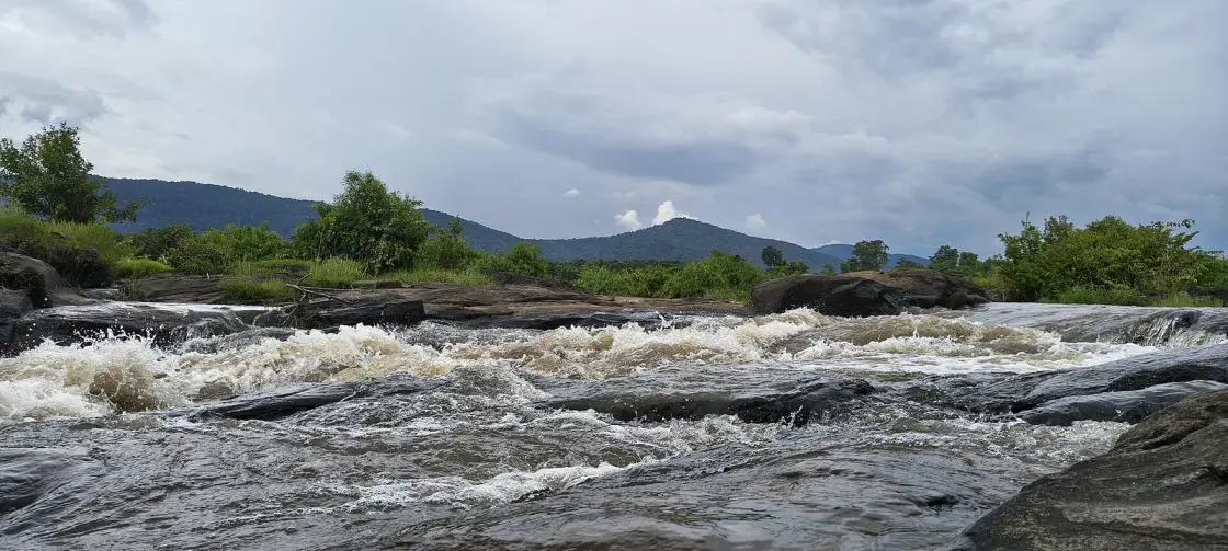
A stretch of the Periyar near Perumbavoor where the river breaks over a wide field of rock in rapids and pools, inside evergreen forest, about 45 km from Kochi. It is beautiful, it is a Kerala Forest Department eco-tourism site with a gate and a pass, and it is one of the most dangerous pieces of water in the state — reporting on the site counts around 89 deaths over roughly two decades. Both of those facts are the reason to read before you go.
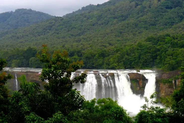
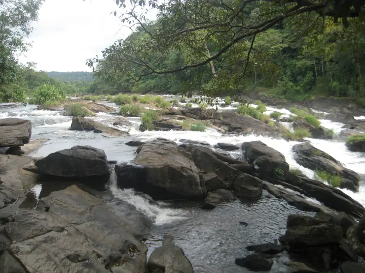
You buy a pass at the Forest Department counter and walk in through forest to the river. The reward is a broad rock shelf with the Periyar running through it in channels, chutes and pools, framed by evergreen trees — the kind of place that looks, in a photograph, like an invitation to swim.
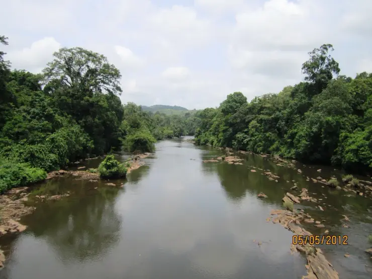
It is not one, and the reason is worth understanding rather than just being told. Upstream of the rocks the Periyar is wide and shallow and slow. At the rock field the whole of that river has to pass through a set of narrow crevices and over shallow ledges, so the same volume of water is forced through a fraction of the space. The speed goes up sharply. What does not go up, and this is the trap, is the surface disturbance: the water above these channels can look nearly flat while the water inside them is moving hard enough to hold an adult under.
That is why the standard reassurance you will hear — that it is only a few feet deep — is not reassurance at all. Depth is not what kills at Paniyeli Poru. Undercurrent is. Continuous scouring has also cut potholes and trenches into the bed over the years, so the floor is not a floor; it is a set of holes with a fast channel between them.
The rock is extremely slippery whether it is wet or dry, and most accidents here begin with a slip rather than a decision to swim. Someone steps out for a photograph, goes down, and is in a channel before anyone has decided anything.
The Forest Department manages access accordingly: a pass, a marked area, guards, lifebuoys positioned along the rocks, warning boards, and a gate that shuts well before dark. The guarding is done substantially by members of the local Vana Samrakshana Samithi, the community forest-protection committee, rather than by uniformed staff — which is worth knowing, because the person telling you to move back is a neighbour who has watched this happen before, not a bureaucrat being cautious.
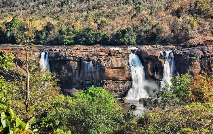
Visited on those terms it is genuinely lovely, and much quieter than Athirappilly. It is not a waterfall and does not pretend to be; it is rapids, and the pleasure of it is the sound and the light through the canopy rather than a drop to photograph. Mid-November to May is the window; the water is lower and the rock is more exposed.
There is no public transport to the gate. It is a drive via Perumbavoor — the site sits roughly 20 km on from there along the Malayattoor forest tracts — and the last stretch is small roads.
Give it two or three hours. It is a place to sit by, not a place to tick off.
Start with the boulders, because they have a story and it is a good one. It belongs properly to Bhoothathankettu, a few kilometres upstream, but it is the folklore of this whole stretch of the Periyar and it is about the rocks you will be standing on. The bhoothams — spirits, demons, the word covers both — set out to dam the river and drown the Shiva temple at Thrikkariyoor. They worked through the night rolling enormous stones into the bed, and they had to finish before daybreak. Shiva broke them with a trick rather than a battle: he counterfeited the dawn, and a cock crowed. The bhoothams dropped everything and fled from the coming light, and the boulders they abandoned are still lying in the river. Bhoothathankettu means the demons' dam. Thrikkariyoor temple is still there, a short drive away, still dry.
The name is a working name, not a poetic one, and it has better provenance than most. “Poru” in Malayalam carries the sense of a fight or a clash, and the explanation usually given is that this stretch was named by the raftsmen who floated bamboo down the Periyar and had to fight the water through these rocks — the place where you had the fight. Some sources flatten “Paniyeli Poru” to simply mean rapids. We prefer the raftsmen's version, and we note it is an explanation rather than a documented etymology.
The dangerous myth is not about the name. It is the belief, held by almost every visitor, that the calm-looking water at the margins is the safe water. Photographs of Paniyeli Poru circulate very widely and almost all of them are taken standing on rock the guards would move you off. The site's reputation as a picnic spot travels much faster than its casualty record does, and the flat surface is the single most misleading thing about the place — it is flat because the water has gone underneath, not because it has slowed down.
The second belief is more specific and, on the evidence, worse: that the dry season is the safe season. The site closes through the monsoon and reopens when levels drop, and visitors reasonably infer that low water means low risk. The best-documented multiple fatality here says otherwise. In 2016 four people drowned in a single incident — three students visiting from Delhi and a local man who went in after them — and the reporting at the time attributed it precisely to low water: the river had pulled back from the banks, leaving the visitors walking out across exposed bed towards water that sat beyond a stretch full of trenches. Low water does not make the channels shallower. It makes them invisible and it walks you out to them.
The 89-death figure deserves a note too, though not the note people expect. It is a single number that has been recirculated across reporting for years, and we have not found an official tally behind it or a stated end date for the period it covers. That is not a reason to discount it. It is a reason to read it as a floor rather than a total — a count that stopped being updated, at a site where the conditions that produced it have not changed.
Paniyeli Poru is a rocky stretch of the Periyar river near Paniyeli, close to Perumbavoor in eastern Ernakulam and about 20 km on from that town along the Malayattoor forest tracts, where the river runs through evergreen forest over a wide bed of rock.
Geologically it is a bottleneck rather than a fall. The Periyar arrives wide and shallow, is squeezed through narrow crevices in the rock and over shallow ledges, and accelerates — producing heavy turbulence below the surface with comparatively little disturbance above it. Long-term scouring has cut potholes into the bed, some of them large enough to be a feature in their own right.
It is managed by the Kerala Forest Department as an eco-tourism destination, entered on a pass bought at the site, with marked areas, warning boards, deployed lifebuoys and guards drawn substantially from the local Vana Samrakshana Samithi.
Its safety record is the defining fact of its modern history: reporting on the site counts on the order of 89 deaths across roughly two decades, overwhelmingly attributed to undercurrents rather than to depth. That record has driven successive tightening of access — marked zones, posted guards and a seasonal closure.
The worst single incident on record came in 2016, when four people drowned together: three students visiting from Delhi and a local resort owner who entered the water to reach them. Contemporary reporting attributed it to unusually low water, which had exposed the bed and left trenches between the bank and the river.
The site is normally shut through the monsoon months, roughly June to October, when the river runs high and fast, and reopens for the drier season from around mid-November to May.
It sits in the same eastern-Ernakulam river landscape as Bhoothathankettu and the Thattekkad sanctuary, all of them on the Periyar, and remains comparatively undeveloped and little known outside Kerala.
Because a wide rock shelf with a forest river running through it, an hour and a half from Kochi, is a rare thing to have to yourself.
Because it is far quieter than Athirappilly and asks nothing of you but a pass and some care.
Because the evergreen forest around the approach is worth the walk in its own right, and the birdlife over the water is part of what you came for.
Because the geology is legible: you can stand at the top of the rock field and watch a wide, slow river turn into a fast one in the space of thirty metres.
Because in the dry months the margins are calm enough to sit beside for hours, provided you sit beside them.
And because it deserves visitors who know what it is — a beautiful river that has killed a great many people, which is a better reason to respect it than to avoid it.
Road km to Ernakulam; ghat roads and traffic vary — allow extra.
Post-monsoon to late winter is usually best; avoid heavy-rain days and closed forest periods.
Live forecast loads in your browser.
Check the official alert before you travel. Kerala’s beaches, waterfalls and trekking routes close at short notice during heavy rain, and district alert levels change day to day. We do not publish an alert level of our own — read it from the state authority: Kerala State Disaster Management Authority, or the district control room on 1077.
Sun and moon are calculated for this location and shown in IST. Photography windows are the hour around sunrise and sunset; the sunset bearing is degrees clockwise from true north. Moon phase is accurate to about half a day.
These are official or public-sector eco offerings that match this place, town or forest destination. Confirm availability, permits, tariffs and reporting times with the official operator before travel.

Dam, forest and river landscape east of Kochi, listed by Kerala Tourism as an ecotourism destination and programme.
Official source →
Rocky Periyar river landscape and forest-edge destination that needs careful seasonal safety checks.
Official source →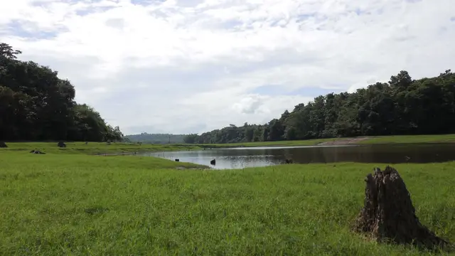
One of Kerala’s key birding landscapes on the Periyar river, east of Kochi.
Official source →Verified hotels, homestays, restaurants, experiences, sights, shops and rentals around Paniyeli Poru — commission-free, with direct contact. Filter by what you need.

Soma Birds Lagoon is a Kerala Tourism-listed resort at Thattekkad / Palamattam, useful for birding stays, family nature breaks and direct accommodation enquiries near Thattekkad Bird Sanctuary. Thattekkad, Birding, Resort.
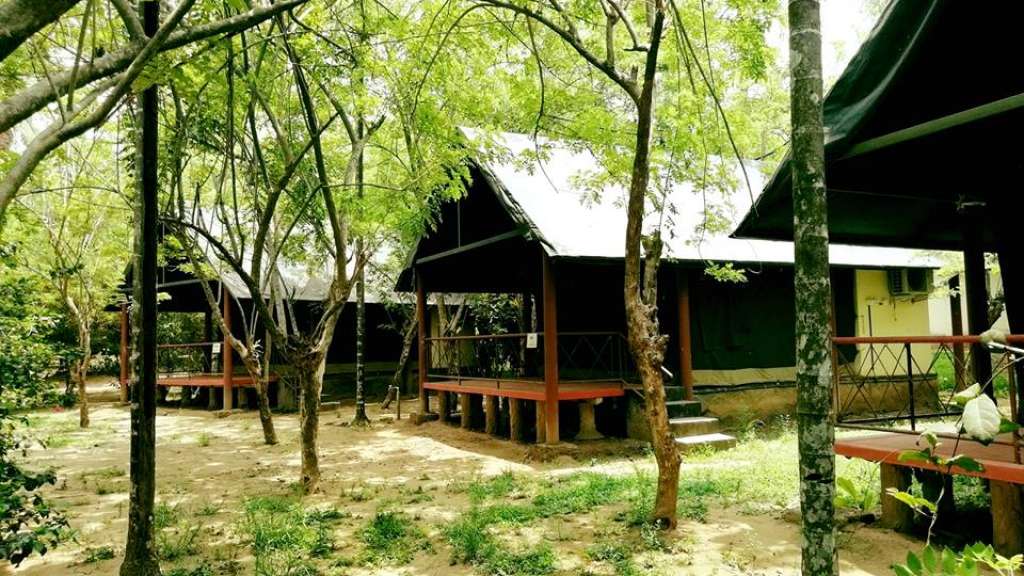
Kerala Tourism-listed Thattekkad camp at Palamattom with direct contacts. Thattekkad, Birding, Nature camp.
Book with the place itself. India’s cyber-crime coordination centre warned in April 2025 that convincing copies of hotel and pilgrimage booking sites are being pushed through sponsored search and social ads, taking payment for rooms the property never hears about. Every listing here links to the business’s own contact details and its own Google or Bing profile — we take no commission and sit in nobody’s payment path. If a booking page reached you through an ad, check the address bar against the property’s own site before you pay. Fraud can be reported on cybercrime.gov.in or on 1930.
Find food, accommodation and activities across Thattekkad. Browse the guides for places to eat, stay and explore along your route.
8 more places around Thattekkad. Open a guide to plan the visit and onward journey.
A pedestrian suspension bridge across the Periyar near Kothamangalam, used for river and forest-edge views without treating the structure as an adventure ride.
A Bhagavathy shrine enclosed by a rare sacred grove near Perumbavoor, where worship etiquette and protection of the forest floor take precedence over recreation.
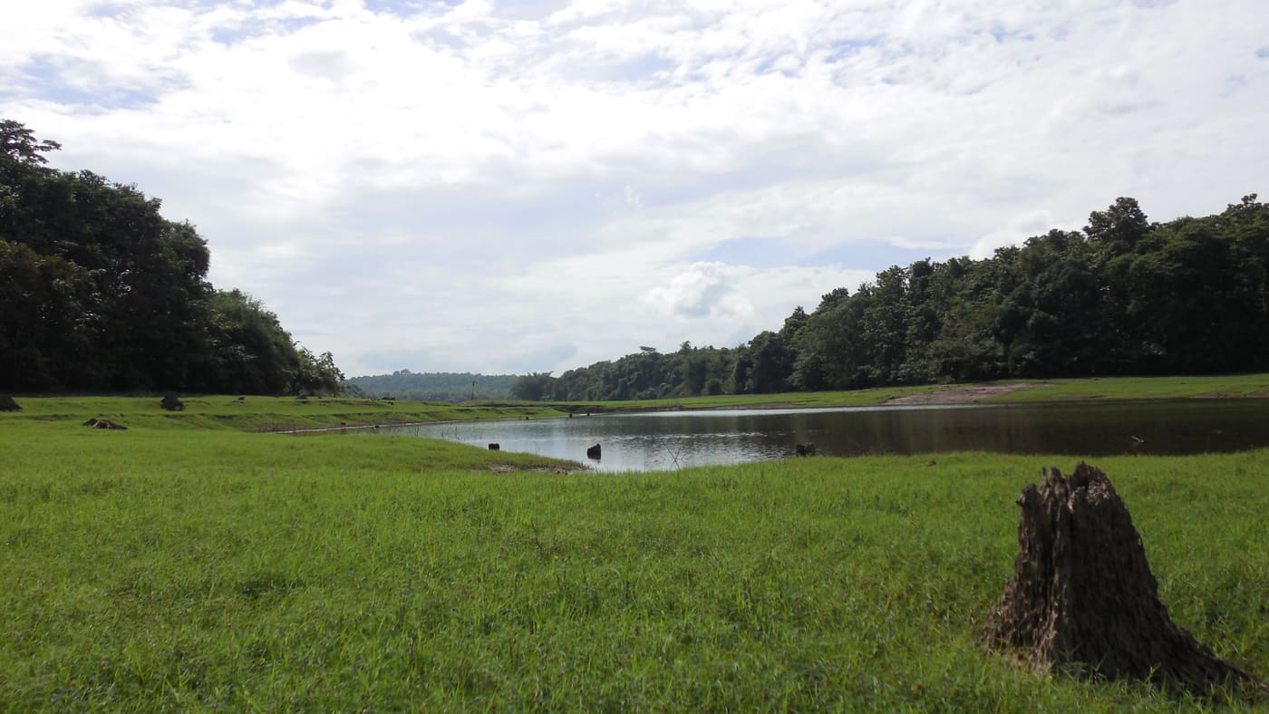
26.6 km · 36 min drive
Important birding area east of Kochi near the Periyar river.
33.0 km · 66 min drive
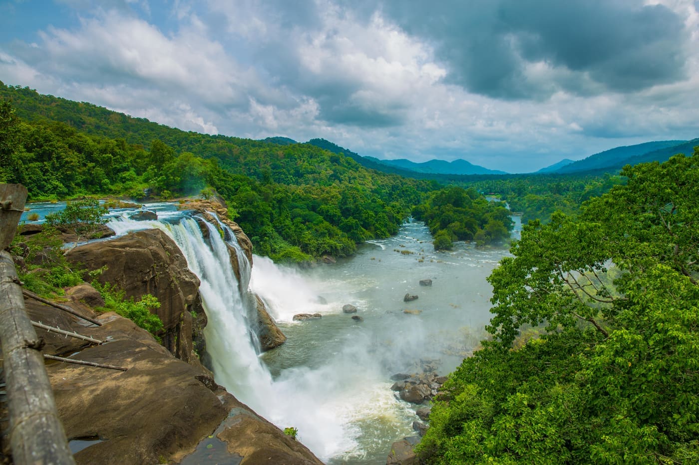
Major waterfall often visited from Kochi, on the Chalakudy river side.
55.9 km · 75 min drive
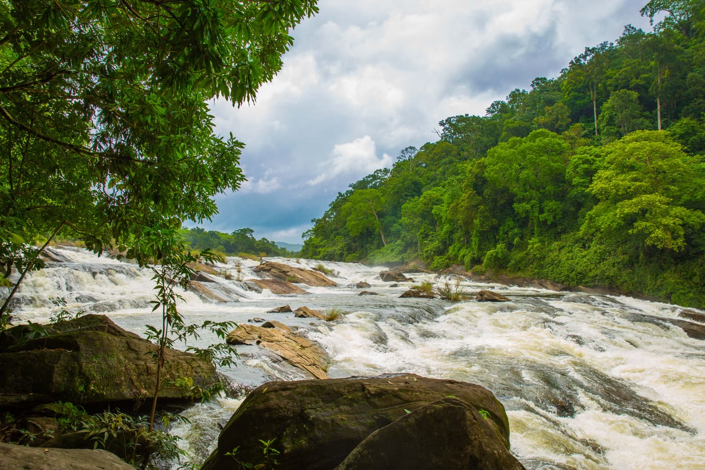
A forest waterfall on the Chalakudy river just above Athirappilly, on the Sholayar forest road — often visited on the same Kochi day trip.
22.4 km · 31 min drive
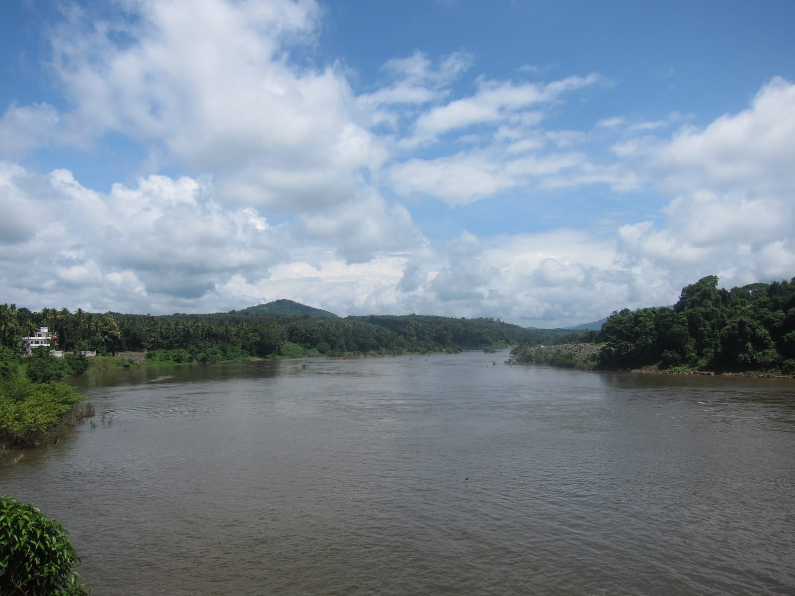
A reservoir and dam at the confluence of the Periyar’s tributaries near Kothamangalam, on the edge of the Thattekkad forests, with forest-and-reservoir trekking around the barrage and a DTPC boat jetty.
17.2 km · 27 min drive
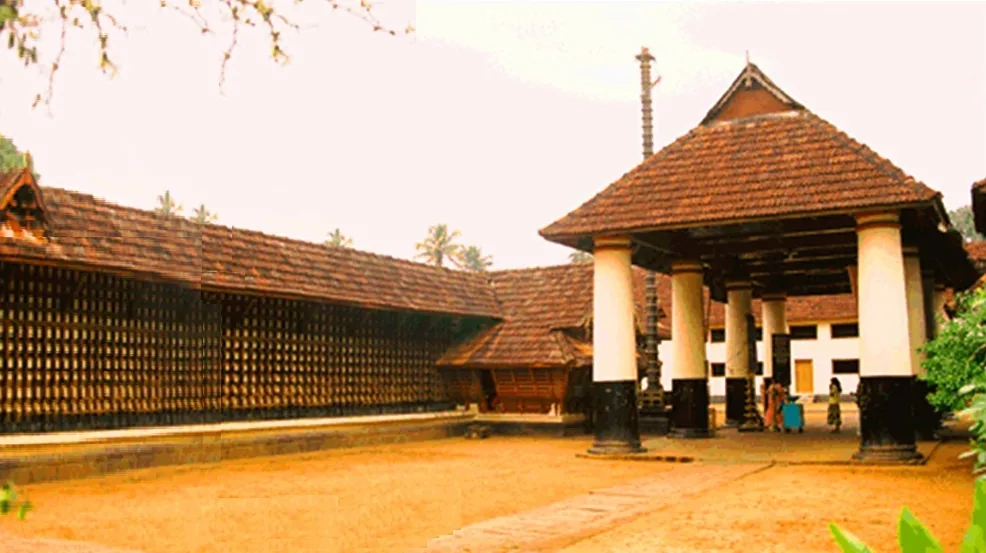
A historic Shiva temple at Kothamangalam near the Thattekkad forests, one of the important ancient temples of the old Kochi region.
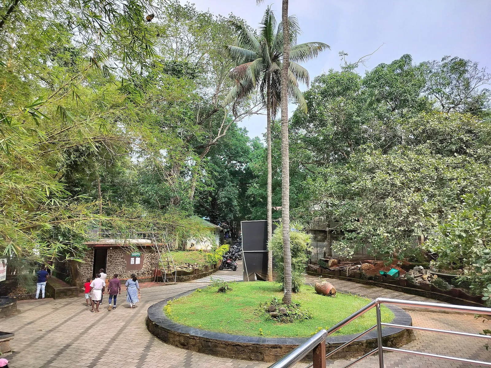
33.3 km · 49 min drive
A riverside nature village on the Chalakudy river near Mattoor, with a bamboo forest walk and gentle river bathing spots, on the Athirappilly day-trip side.
Roampedia is commission-free — own or know a stay, eatery, guide or shop near Paniyeli Poru? List it and it appears here once verified.
Add a nearby businessEntry: A Kerala Forest Department pass is required — commonly cited at ₹10–20 per adult, less for children. Rates change; buy at the counter.
If you are travelling by bus or ferry, check the return service with the operator before setting out. Leave time to reach the stop or jetty after your visit.
Ask at the bus stand for the time of the last service back, not the next one. If you miss it, an auto or app cab is the fallback — agree the fare before you get in.
If you need step-free access, contact the site before travelling. Ask about a level entrance, steps along the route, the nearest drop-off point, seating and accessible toilets.
Emergency numbers are verified against official government and state tourism sources. 112 works anywhere in India.
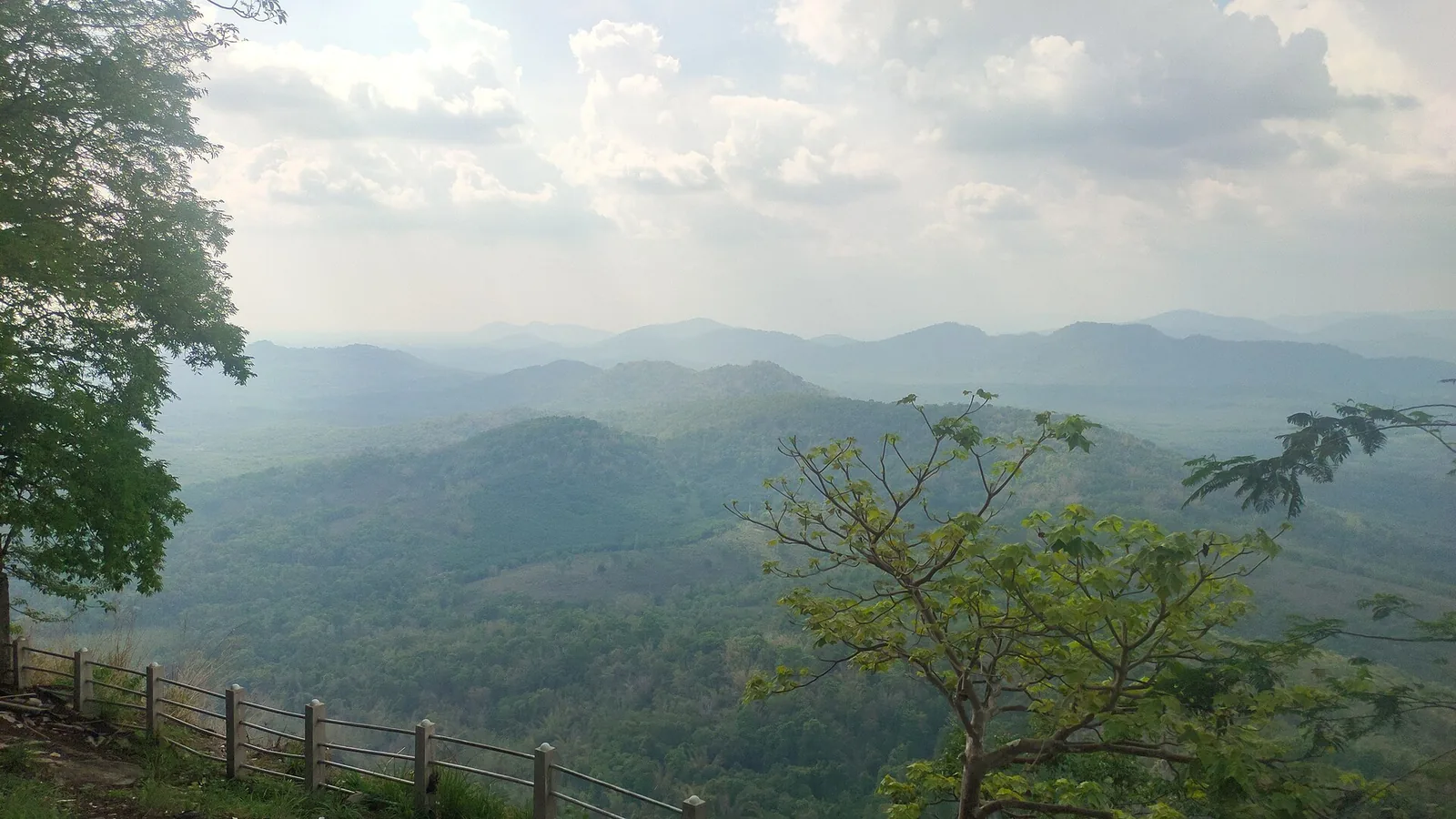
The St Thomas hilltop pilgrimage church near Kalady, a major Christian pilgrimage site drawing large Malayattoor Perunnal crowds.
9.8 km · ~16 min by cab · straight line
Adi Shankara’s family temple at Kalady, west of the Sringeri Math birthplace complex — the shrine at the centre of the story that gave the village its name.
16.4 km · ~27 min by cab · straight line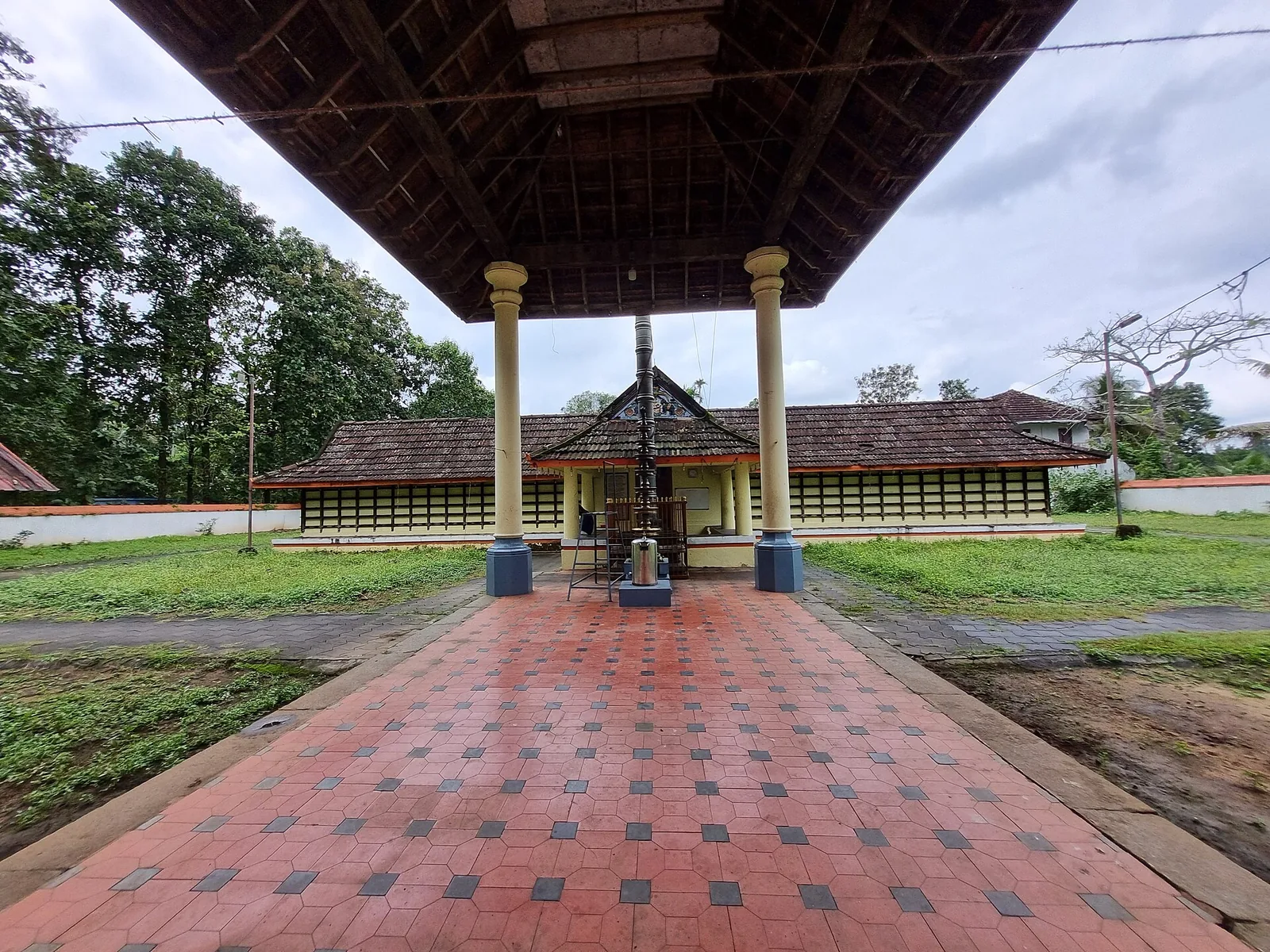
The Manickamangalam Devi temple north of Kalady, remembered as the shrine where Adi Shankara’s father Sivaguru served — the family connection, rather than the building, is why pilgrims come.
16.4 km · ~27 min by cab · straight lineA historic Shiva temple at Kothamangalam near the Thattekkad forests, one of the important ancient temples of the old Kochi region.
17.2 km · 27 min drive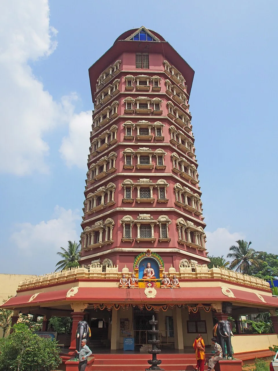
An eight-storey octagonal memorial tower to the philosopher Adi Shankaracharya at his birthplace, Kalady, on the Periyar river, dedicated in 1978 and run by the Kanchi Kamakoti Peetham.
17.4 km · ~29 min by cab · straight line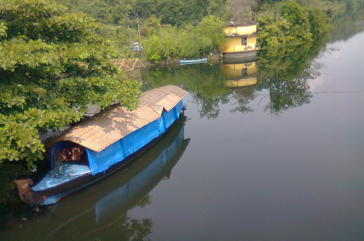
Kerala’s longest river, and the reason Kalady stands where it does — the Adi Shankara traditions of the crocodile and of the river changing course both belong to this water. Ghats and quiet riverside walks beside the birthplace complex.
17.6 km · ~29 min by cab · straight lineA reservoir and dam at the confluence of the Periyar’s tributaries near Kothamangalam, on the edge of the Thattekkad forests, with forest-and-reservoir trekking around the barrage and a DTPC boat jetty.
22.4 km · 31 min drive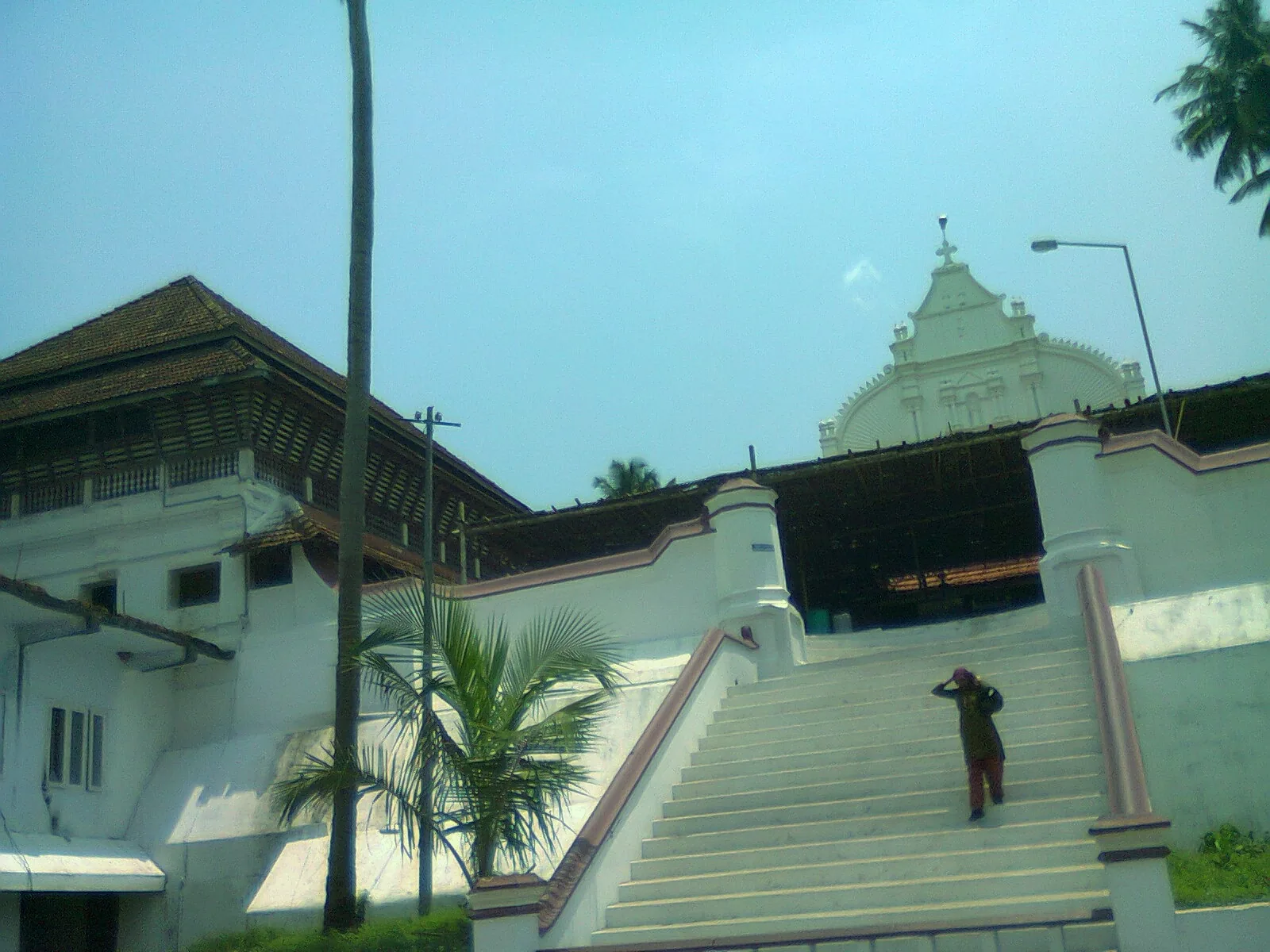
An ancient Orthodox church east of Kochi linked to the legend of the sorcerer-priest Kadamattathu Kathanar, drawing large crowds at its annual feast.
24.2 km · ~40 min by cab · straight lineImportant birding area east of Kochi near the Periyar river.
26.6 km · 36 min driveMajor waterfall often visited from Kochi, on the Chalakudy river side.
33.0 km · 66 min driveA riverside nature village on the Chalakudy river near Mattoor, with a bamboo forest walk and gentle river bathing spots, on the Athirappilly day-trip side.
33.3 km · 49 min driveA forest waterfall on the Chalakudy river just above Athirappilly, on the Sholayar forest road — often visited on the same Kochi day trip.
55.9 km · 75 min driveWalking and driving times are real routed distances, except the few marked “straight line”, which are direct-line estimates and will read short. Fare figures are estimates from Kerala’s notified auto/taxi tariff and exclude waiting and night charges. Routing: © openrouteservice.org by HeiGIT | Map data © OpenStreetMap contributors
No. This is among the most dangerous water bodies in Kerala — reporting counts around 89 deaths over roughly two decades. The current between the rock strata is far stronger than it looks, there are deep vortices, and the rock is extremely slippery wet or dry. Stay inside the marked area and do exactly what the guards tell you.
The folklore of this stretch of the Periyar is the bhootham story, told properly of Bhoothathankettu just upstream: demons set out to dam the river overnight and drown the Shiva temple at Thrikkariyoor, and Shiva faked the dawn with a cock's crow so that they fled before finishing. The huge stones in the riverbed are said to be the dam they abandoned. Told as legend — but it is the story attached to the rocks you stand on here.
“Poru” means a fight or a clash. The explanation usually given is that the name came from the raftsmen who floated bamboo down the Periyar and had to fight the water through this rock field — the place where you had the fight. Other sources simply gloss the name as meaning rapids. Neither is a documented etymology, so treat both as explanations.
Depth is not what kills here. The whole width of the Periyar is forced through narrow crevices in the rock, so the water accelerates hard while the surface stays almost flat. Add potholes and trenches scoured into the bed over decades and you get fast, hidden channels under water that looks calm. Almost every death here is attributed to undercurrent, and most incidents start with a slip on the rock rather than a decision to get in.
No, and this is the most dangerous assumption visitors make. The site closes in the monsoon because the river is high, so people infer the open season is safe. The worst recorded incident here — four drowned in 2016, three visiting students and a local man who went in after them — was attributed to low water: the river had pulled back from the bank, and the exposed bed people walked across was cut with trenches. Low water hides the channels rather than removing them.
Yes — a Kerala Forest Department pass, commonly cited at ₹10–20 per adult with a lower rate for children. Figures vary between sources, so pay and check at the counter.
Roughly 8:00am to 5:00pm, though sources differ on the exact window and on when last entry is. The gate closes well before dark.
Normally no. The site is generally closed for safety through the monsoon, roughly June to October, and reopens for the drier season. Check before travelling.
Mid-November to May, when the water is lower and the rock is exposed. That is also when the marginal pools are calmest.
By road via Perumbavoor, about 45 km from Kochi, with small roads for the last stretch. There is no public transport to the gate itself. Kerala Tourism gives the distances as 20 km from Perumbavoor, about 36 km from Aluva and 27 km from Cochin International Airport.
Yes. Kerala Tourism's eco-tourism division lists Paniyeli Poru as a one-day trekking programme: a riverside pathway of about 1.5 km, a crossing of the river on foot roughly 400 m in, and a final kilometre or so to the cascades, with small islands visible along the way. It is described as not a hard trek and easier at low water — which is why it runs in the dry season and with local escorts rather than as a walk you improvise on arrival.
Members of the local Vana Samrakshana Samithi — the forest-protection committee for this stretch, in Vengoor panchayat within the Malayattoor Forest Division. VSS are Kerala's joint forest management bodies, registered societies of forest-edge households recognised by the Forest Department; there are 277 of them across the state, plus 63 Adivasi VSS. At Paniyeli Poru the same committee that protects the forest also staffs the site, positions the lifebuoys and moves visitors back off the water.
Post-monsoon to late winter is usually best; avoid heavy-rain days and closed forest periods.
Entry: A Kerala Forest Department pass is required — commonly cited at ₹10–20 per adult, less for children. Rates change; buy at the counter. Timings: Roughly 8:00am–5:00pm (sources differ on the exact window and on the last entry time). The gate shuts well before dark.
Base yourself in Thattekkad or a nearby town in Ernakulam, then confirm the last-mile route locally before leaving. Confirm permits, guide requirement and reporting point before travel; many Kerala treks are controlled by forest authorities. If the visit depends on forest, temple, boat, ferry, weather or seasonal access, check the official/local rule on the day before travel.
Half day to full day unless officially listed as multi-day.
Nearby you can pair Malayattoor Church (9.8 km), Sree Krishna Temple (16.4 km), Karthyayani Devi Temple (16.4 km), Thrikkariyoor Temple (17.2 km).
Use approved guides where required. Do not enter closed forest routes or trek in heavy rain.
Written about Paniyeli Poru itself — its history, its legends and the arguments about them.


These guides explore Thattekkad and the surrounding area. Choose a visit that fits your interests, allowing separately for travel between stops.

Route-level itineraries and practical guides for the rest of Kerala.
Photographs: CookBooc (CC BY-SA 4.0), Dvellakat (CC BY-SA 3.0), Vinayaraj (CC BY-SA 4.0), Dil Shad Roshan (CC BY-SA 3.0). Wikimedia Commons.


