Periyar Border Hiking

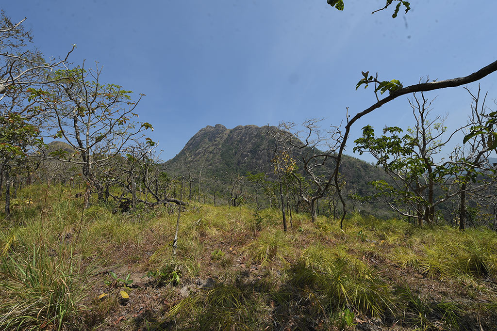
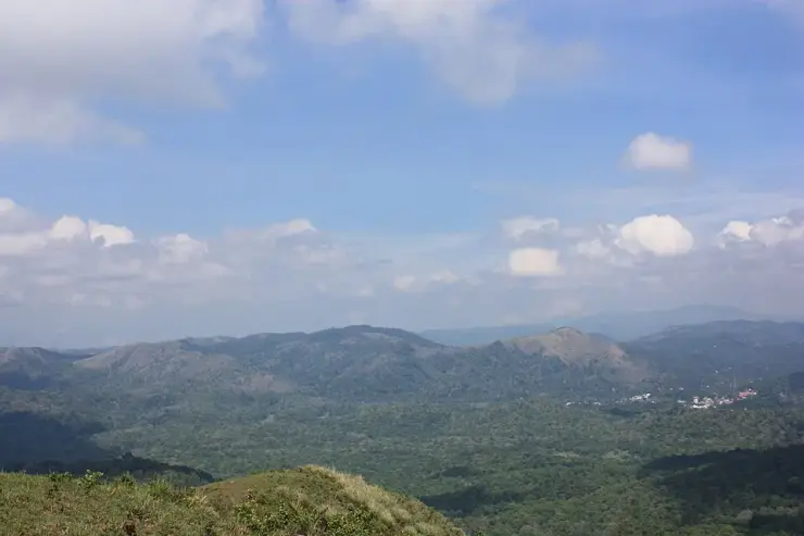
Periyar Border Hiking is a full-day walking programme through the tiger reserve’s undulating high ground. The official description places the route in an elevation band of roughly 900–1,300 metres, with grass-covered ridges, forest and views towards the Cumbam Valley. It is a sustained guided hike, distinct from the shorter Nature Walk and the lake’s passenger boats.

Periyar Border Hiking, Thekkady and Kumily
Practical guide

Plan Periyar Border Hiking

Who's going?Tailor Periyar Border Hiking to your trip
Typetrek
AreaThekkady and Kumily
DistrictIdukki
Best timeChoose a day when the programme operates…
Time neededThe official description starts at 8am…
Entry₹2,000
Places to visit14Listed businesses40

Choose the named product before planning the morning: Brandipara reports at the Forest Check Post Ex Vayana office, while Thondiyar uses the Tribal Trackers office near Bamboo Grove. The two names represent different departures, not two interchangeable descriptions of Boat Landing.

The story

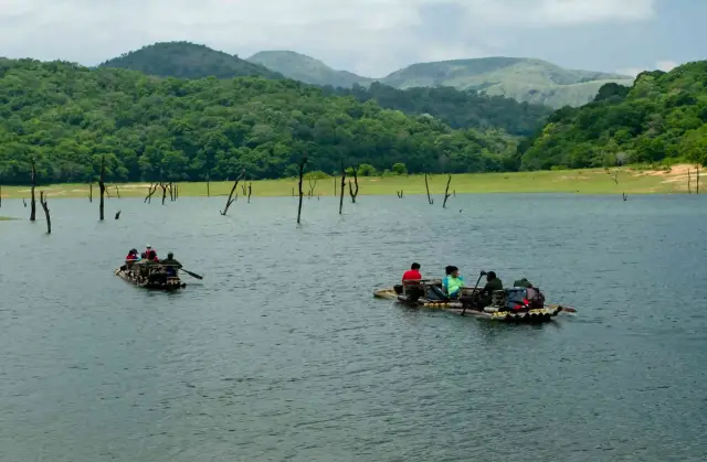
On Periyar’s high ground, an open slope can reveal the next ridge while hiding the forest in the hollow below. Border Hiking uses that contrast. The journey is not just farther than a short nature walk; it changes repeatedly between long views, enclosed vegetation and the effort of climbing and descending.

The story of Periyar Border Hiking

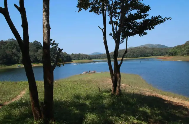
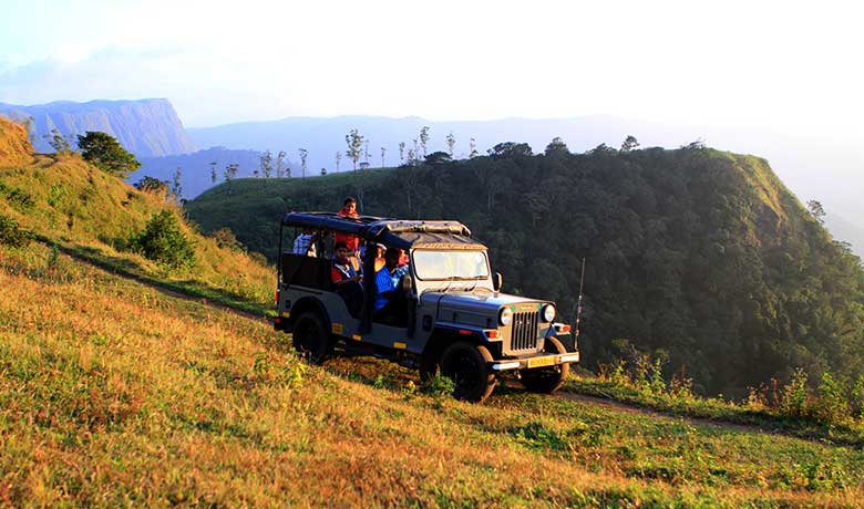
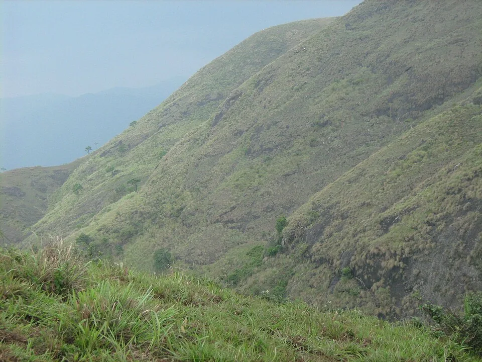
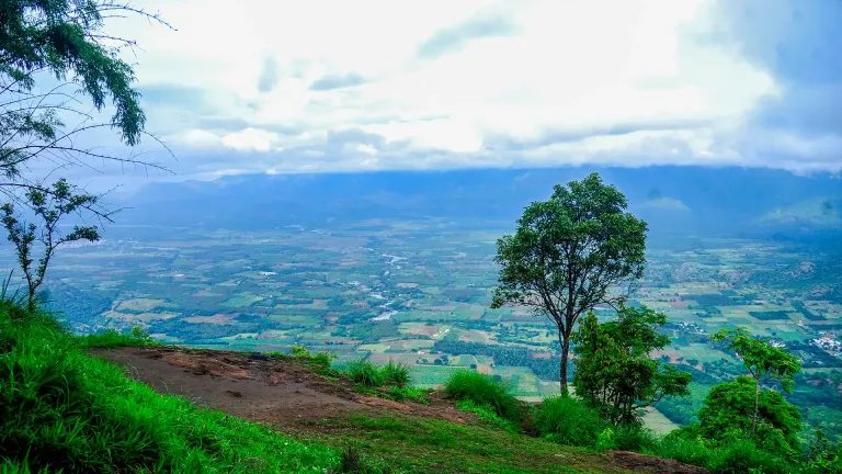
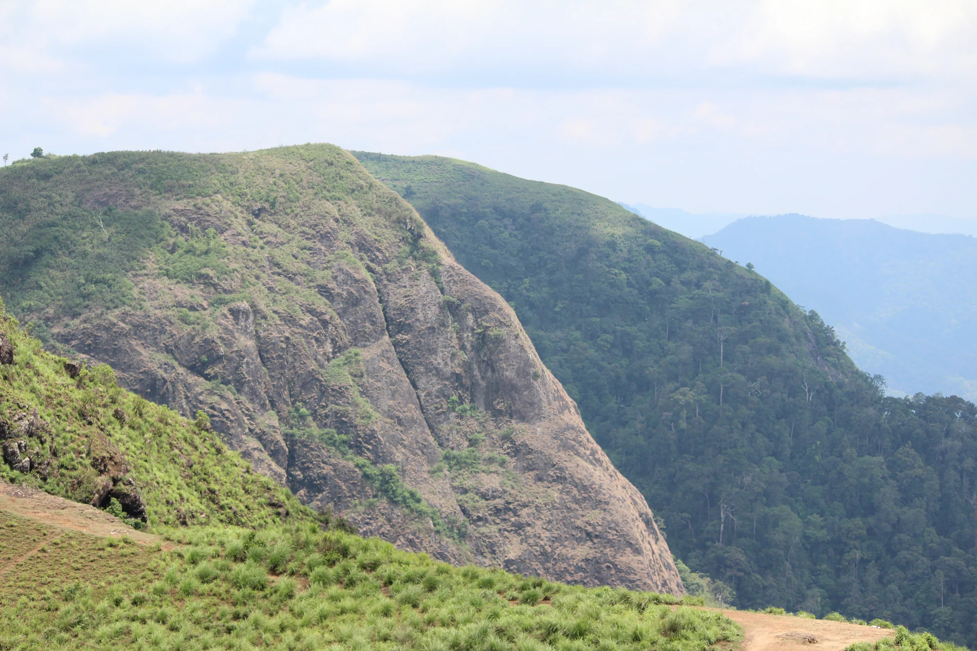
The operator describes the hike through its terrain: undulating ground, escarpments and watersheds, with the Cumbam Valley visible from suitable points. That is a useful description for someone choosing the programme. It suggests a day of changing gradients and viewpoints rather than a level path around the edge of a lake. Visibility still depends on weather and the route used by the guides.

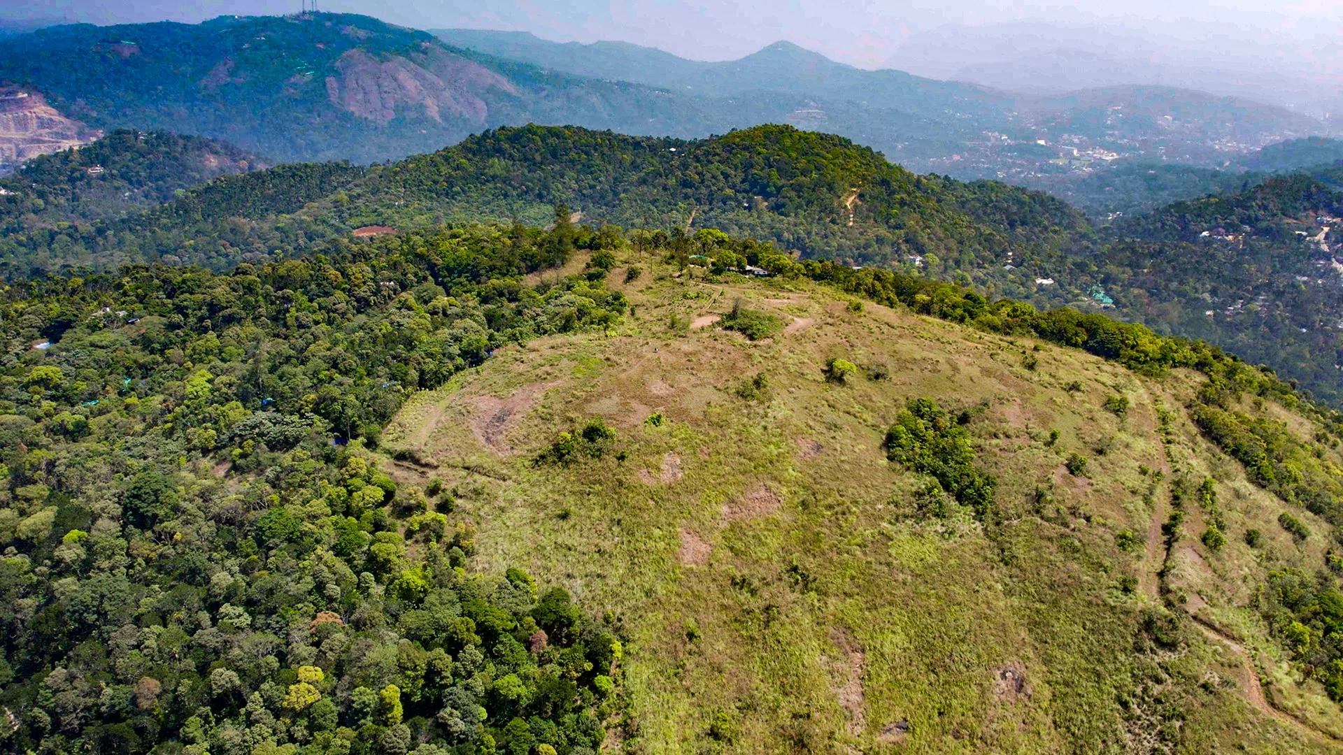
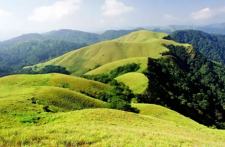
The grass-covered ridges in the programme’s photographs are not empty space between the forests. They give the landscape its open forms and make the contrast with darker wooded gullies especially clear. An attentive walker can notice where vegetation closes around the trail and where it opens again without treating every gap as a place to leave the group.

A watershed is a divide in the movement of rainwater. On a ridge, water falling on different sides can begin journeys into different drainage lines. You do not need to identify every stream by name to understand why the high ground matters. Looking from the crest into a hollow can connect the shape of the slope with the vegetation occupying it.

The official altitude band describes the route landscape, not a promise that every departure reaches a single named summit at a precise height. Similarly, the word border should not be read as an invitation to cross a state boundary wherever a map suggests a shortcut. This is a reserve-controlled hiking programme whose practical identity lies in its booked route and accompanying team.

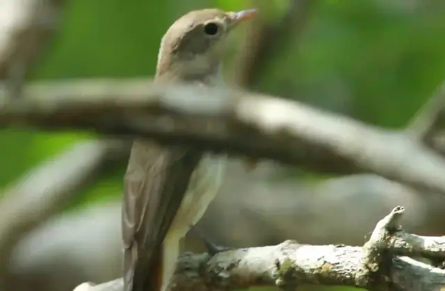
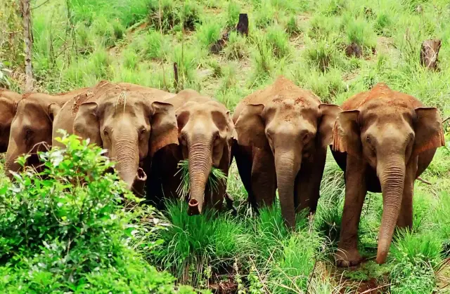
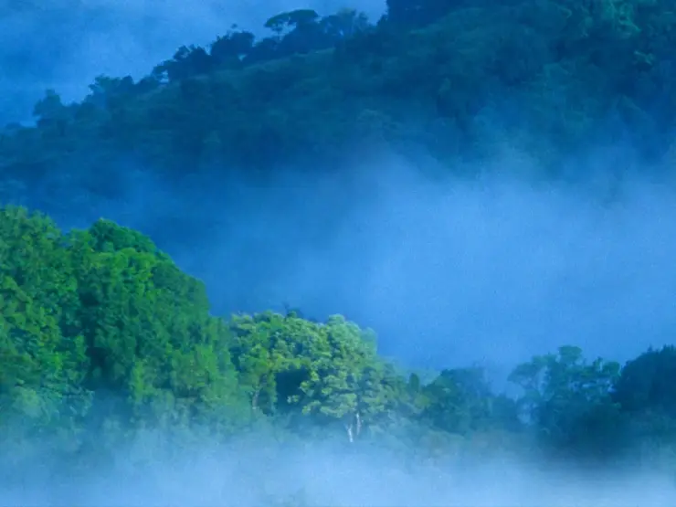
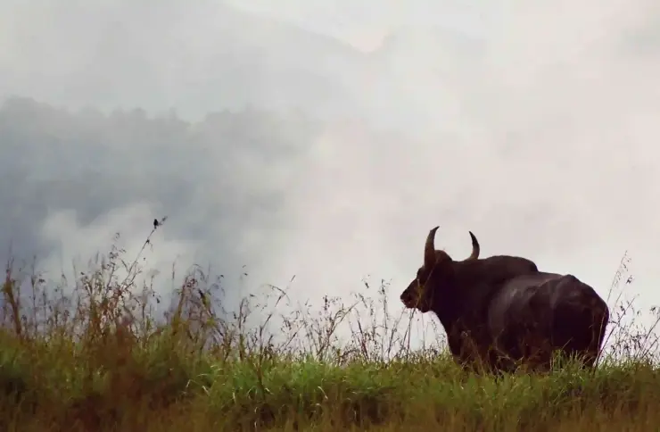
Wildlife observation changes between open grass and wooded cover. A gaur on a misty slope may appear first as a dark outline; a langur in a tree can be partly concealed by branches. Both kinds of scene occur in the operator’s gallery. The useful skill is patient observation from the permitted position, not moving until the view resembles a photograph in the brochure.

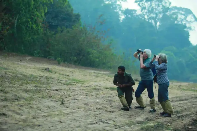
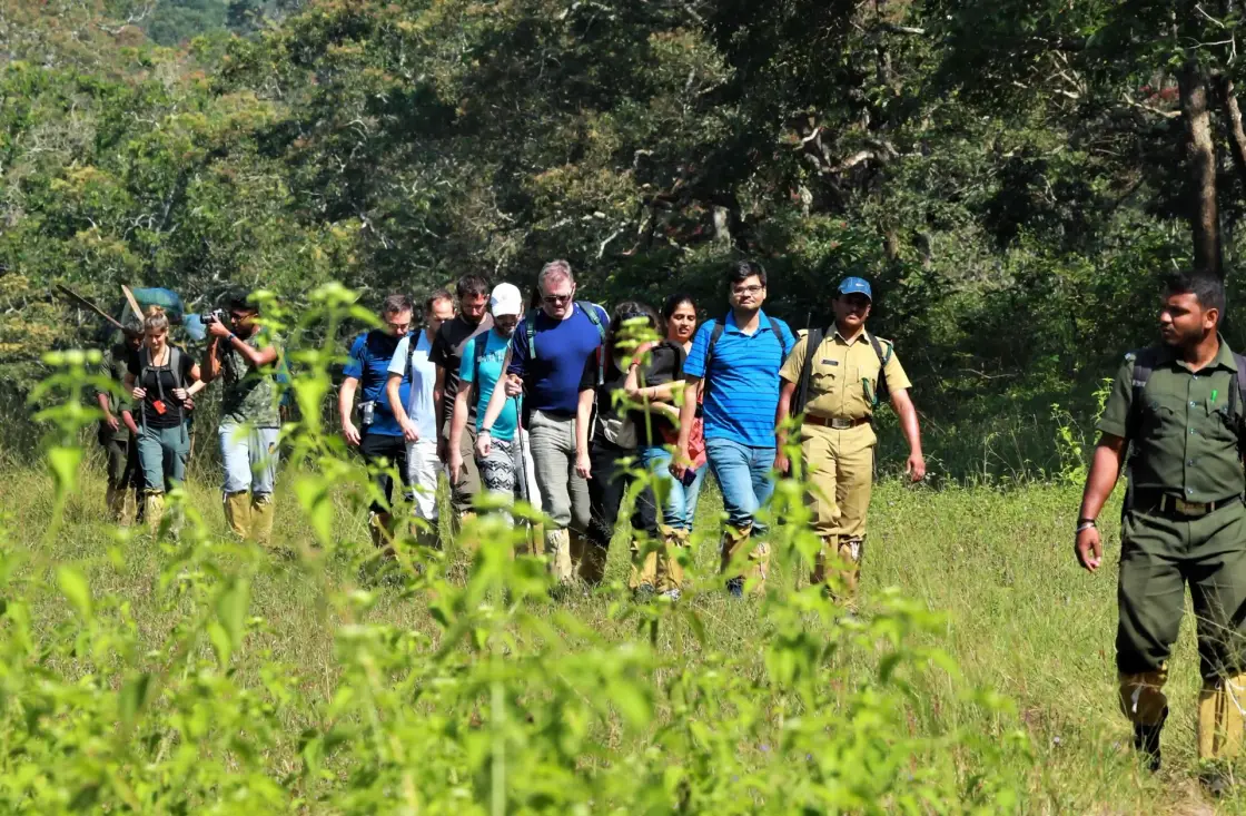
The presence of an armed forest official is part of the programme’s protection and supervision. It is not a reason for visitors to relax their own discipline. The group still needs to stay together, make room for wildlife and accept a changed plan if the guides judge the situation unsuitable. The longest or most dramatic line on a map is not automatically the day’s route.

Keeping the entire day available allows the hike to develop at its intended scale. An extended stop may be spent looking or listening rather than accumulating distance. The return is part of the walk, with fatigue affecting how uneven ground feels. A programme of this length suits a trip in which the forest has its own day, rather than the remaining hours between two road transfers.

Read the full history of Periyar Border Hiking 242 more words

History

Border Hiking belongs to Periyar’s organised ecotourism catalogue, which connects accompanied visitor activities with forest conservation and local livelihoods. Its current Brandipara and Thondiyar listings make that organisation visible through the different reporting offices and the guides assigned to the departure.

The reserve’s institutional history records the India Eco-Development Project in 1996 and the later foundation arrangements supporting conservation work. These dates explain the wider setting of community-linked programmes; they do not establish an invented launch year for Border Hiking itself.

The two departure names preserve an important piece of the programme’s geography. Thondiyar’s rules identify the Tribal Trackers office near Bamboo Grove; Brandipara identifies the Ex Vayana office at the Forest Check Post. Reading both keeps local programme names attached to their actual visitor arrangements.

That relationship between named offices, guiding and protected terrain is more useful than an embellished wilderness narrative. Visitors enter an actively managed landscape. The day’s freedom comes from spending time on foot with people authorised to lead the route, while respecting the boundaries that make the programme possible.

Why visit

Choose Border Hiking when forest walking is the main purpose of a day in Thekkady.

The ridge-and-hollow terrain provides a different perspective from Periyar’s lake cruises and shorter interpreted walks.

A guide can connect the visible vegetation and animal signs with the landscape rather than treating the day as a summit race.

The route’s changing enclosure and exposure offers varied subjects for photography even without a large-mammal encounter.
What to expect

Highlights

  • A day spent moving between forest cover and open ridges, with a guide interpreting the changing landscape.
  • Escarpments and watersheds that make the reserve’s high ground legible beyond the familiar lake view.
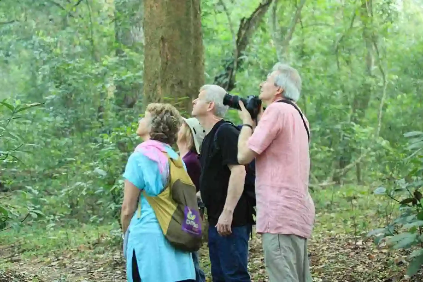
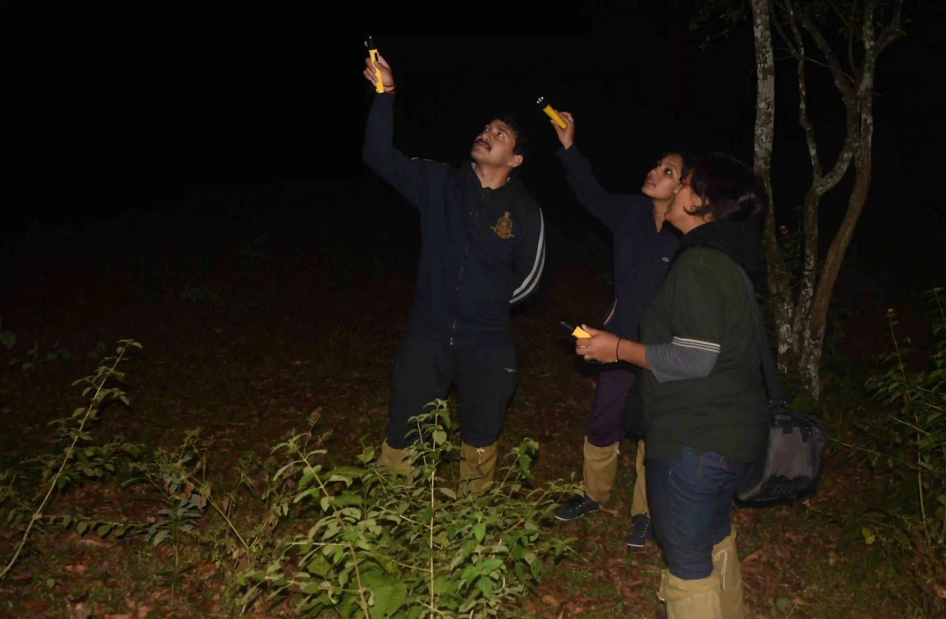
  • Small groups accompanied by guides and an armed forest official under the reserve’s programme rules.
Getting there

How to visit

  • Choose either Border Hiking Brandipara or Border Hiking Thondiyar in the official Periyar booking catalogue. Check the selected date and participant eligibility before reserving.
  • Give the driver the reporting office written on that product: Forest Check Post Ex Vayana office for Brandipara, Tribal Trackers office near Bamboo Grove for Thondiyar.
  • Allow the required park-entry process and report at least 15 minutes before the confirmed start. Do not plan to catch the group later along an independently chosen forest path.

Distance by road

  • Kochi107 km
  • Madurai172 km
  • Thiruvananthapuram226 km
  • Coimbatore252 km
  • Kozhikode276 km

Road km to Idukki; ghat roads and traffic vary — allow extra.

Timing

Best time

Choose a day when the programme operates and the whole group can manage a long walk. Open ridges can be exposed to sun, rain and wind, while cloud can remove the distant valley view. The forest and grassland remain the route’s substance when the horizon is hidden.

Weather in Periyar Border HikingSeasonal guide

Live forecast loads in your browser.

Today at Periyar Border Hiking
Sunrise6:11 am
Sunset6:20 pm
Golden hour best light5:20 pm–6:20 pm
Blue hour after sunset6:20 pm–6:45 pm
Sun sets toward compass bearingW · 272°
Moon tonight🌓 First quarter · 53%
South-west monsoon. June to September brings heavy rain to Kerala. Trails, falls and ghat roads can be slippery, swollen or closed at short notice, and forest departments sometimes suspend access. Check locally on the day before you travel.

Check the official alert before you travel. Kerala’s beaches, waterfalls and trekking routes close at short notice during heavy rain, and district alert levels change day to day. We do not publish an alert level of our own — read it from the state authority: Kerala State Disaster Management Authority, or the district control room on 1077.

Sun and moon are calculated for this location and shown in IST. Photography windows are the hour around sunrise and sunset; the sunset bearing is degrees clockwise from true north. Moon phase is accurate to about half a day.

Visitor notes

  • The published minimum age is 12, and eligibility does not replace an honest assessment of endurance on hilly ground.
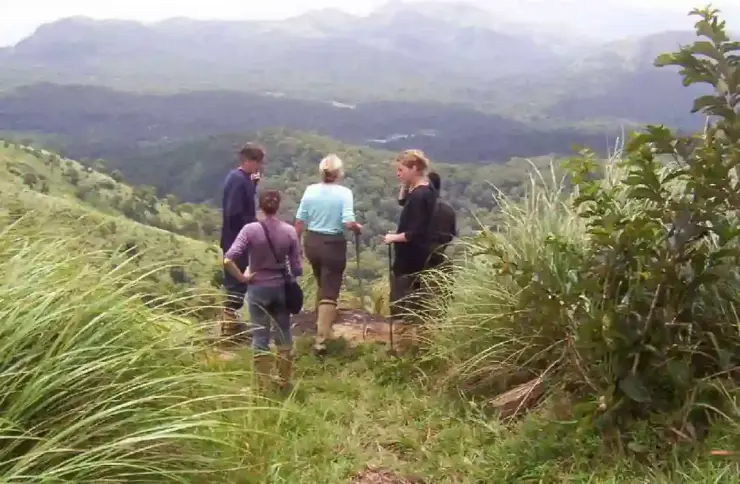
  • The operator describes up to 12 visitors in two groups, with a maximum six in a group. A reservation should identify the actual departure rather than assume all visitors walk together.
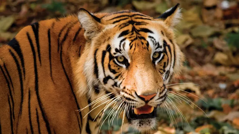
  • A long hike is not a promise of a tiger sighting. Looking closely at the forest–grassland transitions is central to the day.
Safety

Good to know

  • Follow the guides’ route and any instruction from the accompanying forest official; do not approach an animal or cross into a closed area.
  • Keep enough energy for the return and tell the guide promptly if the pace or ground becomes difficult.
  • Stay back from exposed edges and let the guide decide whether a weather change requires a different movement or pause.
Official eco & forest programmes

Experiences around Periyar Border Hiking

These are official or public-sector eco offerings that match this place, town or forest destination. Confirm availability, permits, tariffs and reporting times with the official operator before travel.

Mathikettan Shola, Periyar Border Hiking
trekwildlife

Mathikettan Shola eco visit

Shola forest landscape in Idukki listed in Kerala Tourism’s ecotourism inventory.

Kerala Forest Department
Official source →
Periyar Tiger Reserve, Periyar Border Hiking
raftingtrekwildlife

Periyar Bamboo Rafting

Day-long or half-day rafting-plus-trekking programme through Periyar Tiger Reserve, with small raft groups and forest guide support.

Periyar Tiger ReserveHalf day or full day
Official source →
Periyar Tiger Reserve, Periyar Border Hiking
trekbirdingwildlife

Periyar Nature Walk

Guided 4-5 km interpretive walk through Periyar’s mixed habitats, offered in multiple daily slots.

Periyar Tiger ReserveAbout 2.5 hours
Official source →
Periyar Tiger Reserve, Periyar Border Hiking
trekbirdingwildlife

Periyar Green Walk

Guided interpretive walk through Periyar’s trails with trained tribal guide support and small group limits.

Periyar Tiger ReserveAbout 3 hours
Official source →
Periyar Tiger Reserve, Periyar Border Hiking
trekwildlife

Periyar Jungle Scout night trek

Guided night trekking programme in the periphery of Periyar’s eco-development zone with armed guard support.

Periyar Tiger ReserveNight programme
Official source →
Periyar Tiger Reserve, Periyar Border Hiking
trekwildlife

Periyar Border Hiking

Day-long hiking programme through Periyar’s undulating forest terrain, with guide support and food included in the official listing.

Periyar Tiger ReserveFull day
Official source →
Periyar Tiger Reserve, Periyar Border Hiking
campingforest staytrek

Periyar Tiger Trail camping trek

Multi-day guided trekking and camping programme inside Periyar, with tent stay and meals; prior booking is needed.

Periyar Tiger Reservetent1N/2D or 2N/3D
Official source →
Periyar Tiger Reserve, Periyar Border Hiking
forest staybirdingtrek

Periyar Bamboo Grove eco lodge

Eco-lodge accommodation in bamboo thickets with orientation, tribal-colony visit, wildlife film, birdwatching, trekking and boat ride.

Periyar Tiger Reserveeco lodgeOvernight
Official source →
Periyar Tiger Reserve, Periyar Border Hiking
forest staywildlife

Periyar Jungle Inn watchtower stay

Forest cottage/watchtower-style stay at Kokkara, about an hour’s walk from the forest checkpost.

Periyar Tiger ReservewatchtowerOvernight
Official source →
Periyar Tiger Reserve, Periyar Border Hiking
campingforest staybirding

Periyar Jungle Camp

Tented camping near the Periyar River with meals, birdwatching, Gavi safari and optional Periyar Lake boat ride in the official listing.

Periyar Tiger ReservetentOvernight
Official source →
Stay · eat · do · rent · see · shop

Stays, food & things to do near Periyar Border Hiking

Verified hotels, homestays, restaurants, experiences, sights, shops and rentals around Periyar Border Hiking — commission-free, with direct contact. Filter by what you need.

10 things to do near Periyar Border Hiking

Periyar Tiger Reserve Online Booking — Official forest activity and booking office in Thekkady and Kumily
Top pick Verified
Official forest activity and booking office · Thekkady and Kumily
Periyar Tiger Reserve Online Booking
2.6 km · ~7 min by auto

The reserve’s own booking office, online — entry, boats, treks and camps all go through this official channel, and it is the one to trust over any reseller; one lookalike domain now serves gambling.

Directions Commission-freeView details
Periyar Boating Online Booking — Official boating booking in Thekkady and Kumily
Top pick Verified
Official boating booking · Thekkady and Kumily
Periyar Boating Online Booking
2.9 km · ~7 min by auto

The official counter for the lake boats — current slots, prices and availability live here, not with agents; the first slots of the morning are the wildlife ones.

Directions Commission-freeView details
Periyar Tiger Trail Official Booking — Official forest trekking and camping programme in Thekkady and Kumily
Top pick Verified
Official forest trekking and camping programme · Thekkady and Kumily
Periyar Tiger Trail Official Booking
2.9 km · ~7 min by auto

Official booking for the reserve’s overnight walking programme — reporting times, guide requirements and availability are all set by the forest department, nowhere else.

Directions Commission-freeView details
Niraamaya Spa, Cardamom Club Thekkady — Spa and Ayurveda therapies in Thekkady and Kumily
Verified
Spa and Ayurveda therapies · Thekkady and Kumily
Niraamaya Spa, Cardamom Club Thekkady
1.6 km · 20 min walk

The spa at Niraamaya’s Cardamom Club retreat, out at the 66th Mile estates — Ayurveda programmes alongside international therapies.

Directions Commission-freeView details
Thekkady Jeep Safari — Jeep safari and local tour operator in Thekkady and Kumily
Verified
Jeep safari and local tour operator · Thekkady and Kumily
Thekkady Jeep Safari

Kumily operator for 4x4 days — Gavi jungle safaris, off-road routes and local packages, booked direct by phone or WhatsApp; confirm the route and permits before a forest-edge trip.

Directions Commission-freeView details
The Elephant Court Ayurvedic Treatments — Ayurveda centre in Thekkady and Kumily
Verified
Ayurveda centre · Thekkady and Kumily
The Elephant Court Ayurvedic Treatments
510 m · 6 min walk

Ayurveda wing at The Elephant Court — Swedana, Shirodhara and Shila Abhyanga are on the official treatment list; book ahead for current availability.

Directions Commission-freeView details
The Spa, Sterling Thekkady — Spa in Thekkady and Kumily
Verified
Spa · Thekkady and Kumily
The Spa, Sterling Thekkady
1.0 km · 13 min walk

Sterling Thekkady’s in-house spa — traditional treatments on the resort’s amenity list; confirm therapies and appointments with the resort directly.

Directions Commission-freeView details
Inboundtrip Thekkady Taxi — Thekkady taxi and airport-transfer service in Thekkady and Kumily
Verified
Thekkady taxi and airport-transfer service · Thekkady and Kumily
Inboundtrip Thekkady Taxi

Inboundtrip Thekkady taxi page for 24/7 city taxis, airport transfers, outstation trips and day tours.

Directions Commission-freeView details
Periyar Cabs Thekkady — Taxi and tour cab provider in Thekkady and Kumily
Verified
Taxi and tour cab provider · Thekkady and Kumily
Periyar Cabs Thekkady
1.0 km · 12 min walk

Local taxi and tour-cab operator at Pappis Tower, Thekkady — 24/7 phone and WhatsApp booking, airport pickups and Periyar transfers; the kind of pre-booked car this app-cab-free town runs on.

Directions Commission-freeView details
P
Periyar Bamboo Rafting Official Booking
Things to do
Top pick Verified
Official forest activity · Thekkady and Kumily
Periyar Bamboo Rafting Official Booking
2.9 km · ~7 min by auto

Official booking for the raft-and-walk forest day — capacity is capped and rules change, so the reserve’s own site is the only current source.

Directions Commission-freeView details

Book with the place itself. India’s cyber-crime coordination centre warned in April 2025 that convincing copies of hotel and pilgrimage booking sites are being pushed through sponsored search and social ads, taking payment for rooms the property never hears about. Every listing here links to the business’s own contact details and its own Google or Bing profile — we take no commission and sit in nobody’s payment path. If a booking page reached you through an ad, check the address bar against the property’s own site before you pay. Fraud can be reported on cybercrime.gov.in or on 1930.

Ranked lists

The best of Thekkady and Kumily, ranked

Thekkady and Kumily provide accommodation and onward road transport. The two reporting offices are distinct from Boat Landing and from each other; the map is an entrance-area orientation reference for Brandipara.

Ranked guides

Top experiences around Periyar Border Hiking

11 more places around Thekkady and Kumily. Open a guide to plan the visit and onward journey.

wildlifeThekkady / Periyar

560 m · 7 min walk

The forest gate and boat landing beyond Kumily town — Thekkady is the reserve’s front door, not a town: the ticket counters, the eco-tourism programmes and the lake jetty are what stand here, under a name that comes from thekku, the teak that was cut on this ridge.

wildlifePeriyar Tiger Reserve

16.4 km · ~27 min by cab

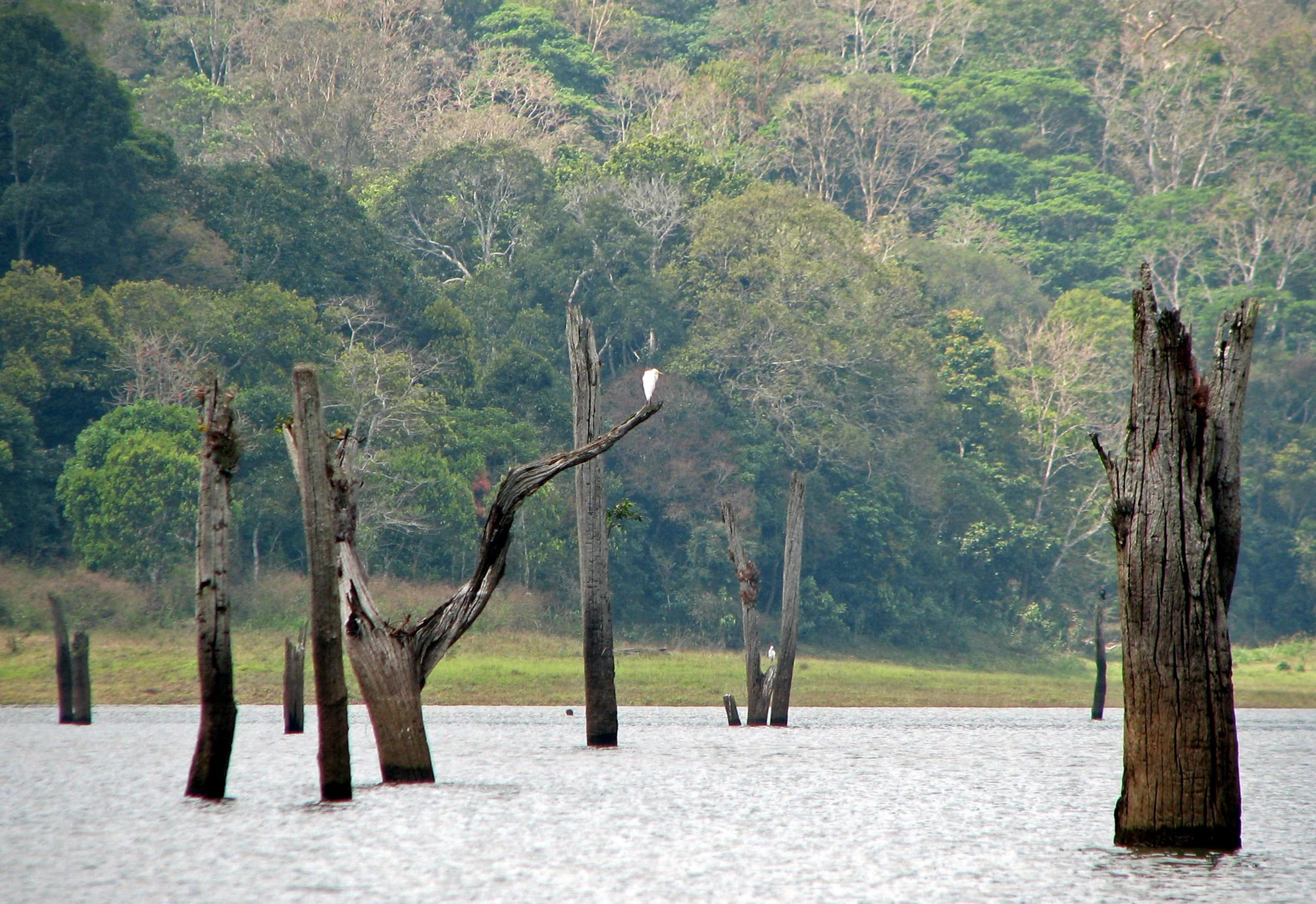
Kerala’s most famous reserve is built around a lake that is not natural: the 1895 Mullaperiyar dam drowned a valley, the dead trees still stand in the water, and the lease behind it — signed 1886 — is still being argued in the Supreme Court. Entry, boats and every programme go through the official portal.

activityPeriyar boat safari

560 m · 7 min walk

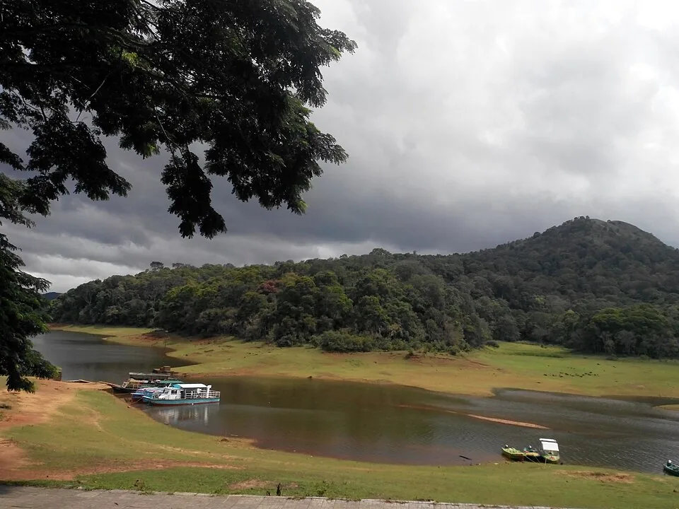
The classic Periyar outing: forest-department and KTDC boats out over the drowned valley from the Thekkady landing, in fixed slots from early morning — the first slot is the wildlife slot. Wear the life jacket without argument; the 2009 Jalakanyaka capsize off Manakkavala is why the crews insist.

experiencePeriyar Bamboo Rafting

2.8 km · ~7 min by auto

Half in the forest, half on the water: a guided day that walks the lake edge and crosses it on bamboo rafts, run by the reserve’s eco-development crews — many of them former poachers turned guides, which is the programme’s real story.

trekPeriyar Nature Walk

2.8 km · ~7 min by auto

A small-group, 2.5-hour interpreted forest walk from Boat Landing in Periyar Tiger Reserve, with several daily trails and a minimum four-person booking charge.

trekPeriyar Tiger Trail

Periyar Tiger Reserve’s guided trekking-and-camping programme, offered as one night/two days or two nights/three days, with reporting at the Forest Check Post Ex Vayana EDC office.

trekPeriyar Jungle Patrol

Periyar’s guided night walk, currently booked as Jungle Scout, with separate Forest Check Post and Bamboo Grove departures. This is a walking programme, not a jeep safari.

trekMangaladevi Temple trek

6.0 km · ~15 min by auto

A gated forest track climbs about fourteen kilometres to the ruined Mangala Devi Kannagi temple on the border ridge — open to visitors essentially one day a year, around Chithra Pournami, when pilgrims from both states arrive at once. The rest of the year the gate is shut; plan around the festival or not at all.

hill stationMurikkady

3.8 km · ~9 min by auto

Cardamom, pepper and coffee country starting five kilometres out of Kumily — Murikkady is where the spice-garden visits actually happen, plot after plot along the road, with the St George church spire in the middle of it.

viewpointPandikuzhi

5.6 km · ~14 min by auto

A stream-and-rock hollow eight and a half kilometres out on the Chellarkovil road — a local picnic spot with a small waterfall in season rather than a headline sight; pair it with Chellarkovil’s plains-edge viewpoint.

viewpointChellarkovil Viewpoint

8.4 km · ~14 min by cab

Thirteen kilometres north of Kumily the hills simply stop: Chellarkovil’s terrace looks off the edge of the Ghats onto the Tamil plains at Cumbum — a sheer green drop, with waterfalls in the monsoon and coconut groves at your back.

Roampedia is commission-free — own or know a stay, eatery, guide or shop near Periyar Border Hiking? List it and it appears here once verified.

Add a nearby business
Trek facts

Periyar Border Hiking — at a glance

OperatorPeriyar Tiger Reserve / Kerala Forest and Wildlife Department
TimingsThe programme description runs from 8am until evening. Report at the correct office at least 15 minutes before the departure confirmed on the reservation.
Best timeChoose a day when the programme operates and the whole group can manage a long walk. Open ridges can be exposed to sun, rain and wind, while cloud can remove the distant valley view. The forest and grassland remain the route’s substance when the horizon is hidden.
Entry price
Indian adult
₹2,000

Fees change without notice. Check the current rate at the counter.
Entry: Published rate checked 6 September 2026: ₹2,000 per person for Indian and foreign visitors, with a minimum two-person charge of ₹4,000. Park-entry charges are additional; confirm the selected product’s final booking total.

Booking: Book the exact Brandipara or Thondiyar product through Periyar Tiger Reserve and retain its reporting instructions. The route name should appear in the transport plan as well as the reservation.

Parking: Ask the reporting office where the vehicle should wait for the selected programme. The Forest Check Post and Bamboo Grove arrangements differ, and parking at the passenger-boat departure is not the hiking plan.

Getting here

How to reach Periyar Border Hiking

  • ✈︎ By air Cochin and Madurai airports serve different approaches to the Thekkady–Kumily area. Leave the arrival day for that road transfer when the booked hike starts the following morning.
  • 🚆︎ By train Kottayam is a practical railway gateway for the western road journey to Kumily. Match the actual train to onward road transport and plan the hiking day after arrival rather than assuming an early same-morning connection.
  • 🚗︎ By road Travel to Kumily, then continue to the reporting office named on Brandipara or Thondiyar. Share the full office name with the driver; a general request for a Periyar trek can send you to Boat Landing instead.
  • 🚌︎ By bus Use Kumily for inter-town bus arrival, then arrange the local connection to the appropriate office. An overnight stay near the town gives the morning transfer room before the full-day start.
Getting around

Getting around Periyar Border Hiking

Walk only with the assigned group. The guides set the line through the terrain and decide when wildlife or weather requires a pause or change.

Getting back

Keep the evening return flexible enough for the guide-led day to finish. Arrange a pickup at the booked reporting base and avoid a tight onward bus or long inter-city drive immediately afterwards.

Do

Things to do

  • Observe how grass-covered ridges and wooded gullies alternate along the permitted route.
  • Ask the guide to explain the watershed or escarpment visible from a safe stopping point.
  • Watch open slopes for distant wildlife while keeping the animal’s space intact.
  • Photograph the changing layers of the valley from the position approved by the guide.
Facilities

On site

  • The published programme includes breakfast, lunch and water.
  • Leech socks and toilet facilities are listed by the operator; ask about the route’s actual toilet opportunity at reporting.
  • Guides and an armed forest official accompany the hike. Their role includes route decisions and group management.
Stay safe

Safety

  • Do not leave the route to obtain an unobstructed animal photograph.
  • Keep clear of ridge edges and let the guide respond to rain, wind or poor visibility.
  • Report fatigue early enough for the team to make a practical decision.
  • Follow the accompanying forest official’s instructions as well as the walking guide’s.
Getting around Periyar Border Hiking
From the entrance
Brandipara: Forest Check Post Ex Vayana office; Thondiyar: Tribal Trackers office near Bamboo Grove
Step-free access
This is a sustained hike over slopes and uneven forest ground, with open ridges adding exposure to weather. It is unsuitable as a step-free sightseeing option. Discuss walking endurance, balance and any health limitation with the operator before reserving.

Checked 6 September 2026 against source 1source 2. Conditions change and surfaces vary with weather — if step-free access is essential, confirm with the site before you travel.

If you need help at Periyar Border Hiking
112All emergencies (police · fire · medical)The single number to call in any emergency (ERSS).

Emergency numbers are verified against official government and state tourism sources. 112 works anywhere in India.

Eat nearby

What to eat in Thekkady and Kumily

The hike has its own meal provision. Keep town food arrangements around the previous evening and the return, and settle dietary requirements before leaving the reporting office.

Explore food in Thekkady and Kumily →
01

The included breakfast

Breakfast is listed in the programme. Confirm when it is served rather than arriving late because a restaurant meal ran into reporting time.

02

Lunch on the hiking day

The operator includes lunch and water. Explain dietary restrictions in advance because the route is not built around a choice of restaurants.


03

Dinner in Kumily

A town meal after the return is easier to arrange with a flexible time, once the group has completed the full route.

Nearby

What’s near Periyar Border Hiking

wildlifeThekkady / Periyar

The Thekkady visitor gateway to Periyar Tiger Reserve, with Kumily as the road, bus and stay base; plan the Anavachal arrival, lake outing or guided forest programme as distinct stages.

560 m · 7 min walk · straight line
activityPeriyar boat safari

A scheduled passenger-boat trip on Periyar Lake, with reporting at Anavachal and a reserve-bus transfer to the Thekkady boat landing.

560 m · 7 min walk · straight line
experiencePeriyar Bamboo Rafting

Forest Department guided trekking and bamboo rafting in Periyar Tiger Reserve, with separate full-day and half-day programmes and reporting points. Full-day rafting is closed 5–30 September 2026 for raft maintenance.

2.8 km · ~7 min by auto · straight line
trekPeriyar Nature Walk

A small-group, 2.5-hour interpreted forest walk from Boat Landing in Periyar Tiger Reserve, with several daily trails and a minimum four-person booking charge.

2.8 km · ~7 min by auto · straight line
hill stationMurikkady

Murikkady, also mapped as Murickady, is a plantation settlement near Kumily in Idukki. Use the village as an orientation base and a separately confirmed estate entrance for a spice or plantation visit.

3.8 km · ~9 min by auto · straight line
viewpointPandikuzhi

Thekkady-side valley and stream landscape on the Kerala-Tamil Nadu edge.

5.6 km · ~14 min by auto · straight line
trekMangaladevi Temple trek

Seasonal forest trek from Thekkady to the ancient hilltop Mangaladevi Kannaki Temple near the Kerala-Tamil Nadu border, opened by the forest department mainly around Chithra Pournami.

6.0 km · ~15 min by auto · straight line
viewpointChellarkovil Viewpoint

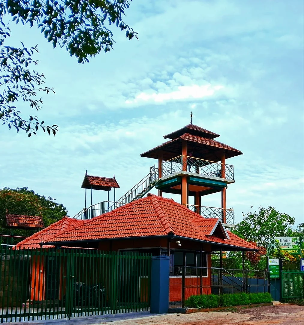
The Kerala Forest Department ecotourism centre at Chellarkovil, with a watchtower, botanical and butterfly gardens and views towards the Tamil Nadu plains. Private resort viewpoints and waterfall approaches are separate visits.

8.4 km · ~14 min by cab · straight line
viewpointParunthumpara

A rock-and-grass viewpoint near Peermade on the Pambanar side of Idukki, overlooking steep wooded ravines; known as Eagle Rock and for the profile-like Tagore Rock formation.

15.8 km · ~26 min by cab · straight line
wildlifePeriyar Tiger Reserve

Official tiger reserve landscape around Thekkady, with forest-controlled activities and boating.

16.4 km · ~27 min by cab · straight line
hill stationPeermade

Peermade, also written Peerumedu or Peermede, is a plantation settlement and highland landscape on the Kottayam–Kumily road in Idukki. The map uses the town centre as a visitor base, not a single hilltop attraction.

19.0 km · ~32 min by cab · straight line
A
Ayyappancoil Hanging Bridge
Place
heritageAyyappancoil Hanging Bridge

The long pedestrian suspension bridge above the Idukki reservoir at Ayyappancoil, valued for water and hill views as well as the crossing itself.

19.6 km · ~33 min by cab · straight line

All 14 places to visit in Thekkady and Kumily →

Walking and driving times are real routed distances, except the few marked “straight line”, which are direct-line estimates and will read short. Fare figures are estimates from Kerala’s notified auto/taxi tariff and exclude waiting and night charges. Routing: © openrouteservice.org by HeiGIT | Map data © OpenStreetMap contributors

On the map

Where Periyar Border Hiking is

Good to know

Periyar Border Hiking — frequently asked

Where does Periyar Border Hiking start?

Brandipara reports at the Forest Check Post Ex Vayana office. Thondiyar reports at the Tribal Trackers office near Bamboo Grove. Use the office on the exact product booked; neither should be replaced with Boat Landing.

Is Brandipara the same booking as Thondiyar?

No. Periyar lists them as separate Border Hiking products. Check the name, reporting point and selected date before arranging the morning transfer.

How difficult is Periyar Border Hiking?

It occupies the day on undulating high ground with ascents and descents. It requires more endurance than the shorter Nature Walk, even if the group pauses often for observation.

Can children join the border hike?

The published rules exclude children under 12. Older participants must still be able to complete a long guided walk on uneven terrain.

Does border hiking include crossing into Tamil Nadu?

Do not treat the name as permission for an independent border crossing. Follow the reserve’s assigned route and the accompanying team’s instructions throughout.

Are meals included in the border hike?

The current operator listings include breakfast, lunch and water. Discuss dietary needs before departure, because the route is not organised around restaurant stops.

How many people walk in one group?

The public description allows a maximum six per group and up to 12 across two groups. Guides and an armed forest official accompany the programme.

Does the map mark a ridge or summit?

No. It marks Thekkady’s park entrance as an orientation base for the Brandipara reporting arrangement. Thondiyar has a separate office near Bamboo Grove; follow the booking for the final meeting point.

When is the best time to visit Periyar Border Hiking?

Choose an available operating day with the full daylight period free. Cloud can hide valley views, and the guides decide how weather affects movement.

What are the entry fee and timings at Periyar Border Hiking?

The full-day programme has a published per-person rate and a minimum two-person charge, with park entry additional. The current tariff and reporting margin are set out in the visit information.

How do I reach Periyar Border Hiking?

Brandipara: Forest Check Post Ex Vayana office; Thondiyar: Tribal Trackers office near Bamboo Grove

How much time do I need for Periyar Border Hiking?

The official description starts at 8am and finishes in the evening; the booking data describes an eight-hour programme. Keep the main daylight period free and add the approach to the reporting office.

What should I know before visiting Periyar Border Hiking?

The published minimum age is 12, and eligibility does not replace an honest assessment of endurance on hilly ground.

What else is near Periyar Border Hiking?

Nearby you can pair Thekkady / Periyar (560 m), Periyar boat safari (560 m), Periyar Bamboo Rafting (2.8 km), Periyar Nature Walk (2.8 km).

Read before you go

Periyar Border Hiking guides, stories & itineraries

Stories & history of Periyar Border Hiking

Written about Periyar Border Hiking itself — its history, its legends and the arguments about them.

Around Thekkady and Kumily

These reads cover nearby destinations, each with its own arrival point and visit arrangements.

In-depth guides to Thekkady and Kumily

Written about Thekkady and Kumily as a whole rather than about Periyar Border Hiking — its history, its streets, and how to spend a day in it.

Kerala-wide guides & itineraries

Route-level itineraries and practical guides for the rest of Kerala.

See all 152 Idukki guides & stories →

Image credits

Photographs: Periyar Tiger Reserve (© Periyar Tiger Reserve; official programme photograph), Kerala Forest and Wildlife Department (© Kerala Forest and Wildlife Department), Periyar Tiger Reserve / Periyar Tiger Conservation Foundation (© Periyar Tiger Reserve / Periyar Tiger Conservation Foundation), Jacob Thapovanam (© Periyar Tiger Reserve; official programme photograph), Sali Palode (© Periyar Tiger Reserve; official programme photograph). Wikimedia Commons.