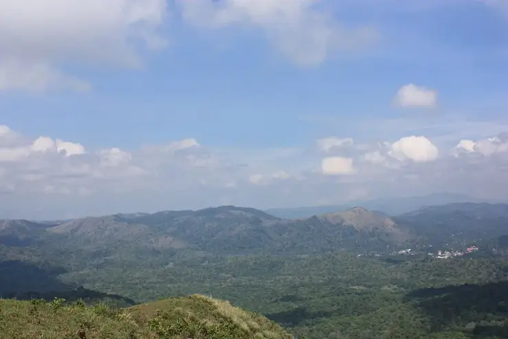
On Periyar’s high ground, an open slope can reveal the next ridge while hiding the forest in the hollow below. Border Hiking uses that contrast. The journey is not just farther than a short nature walk; it changes repeatedly between long views, enclosed vegetation and the effort of climbing and descending.
The story of Periyar Border Hiking
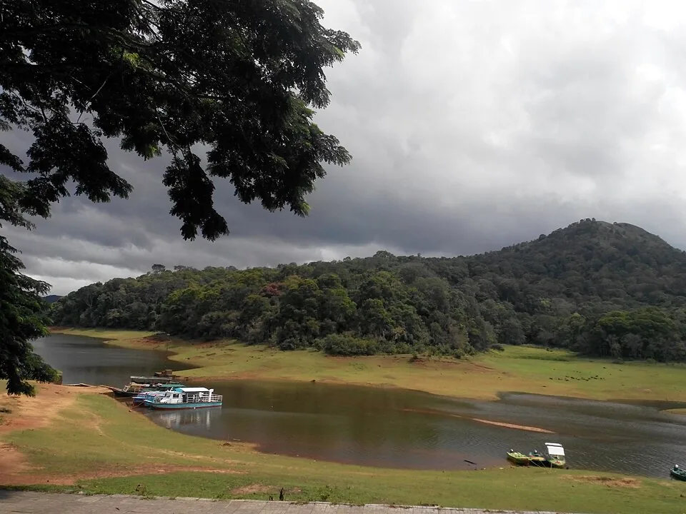
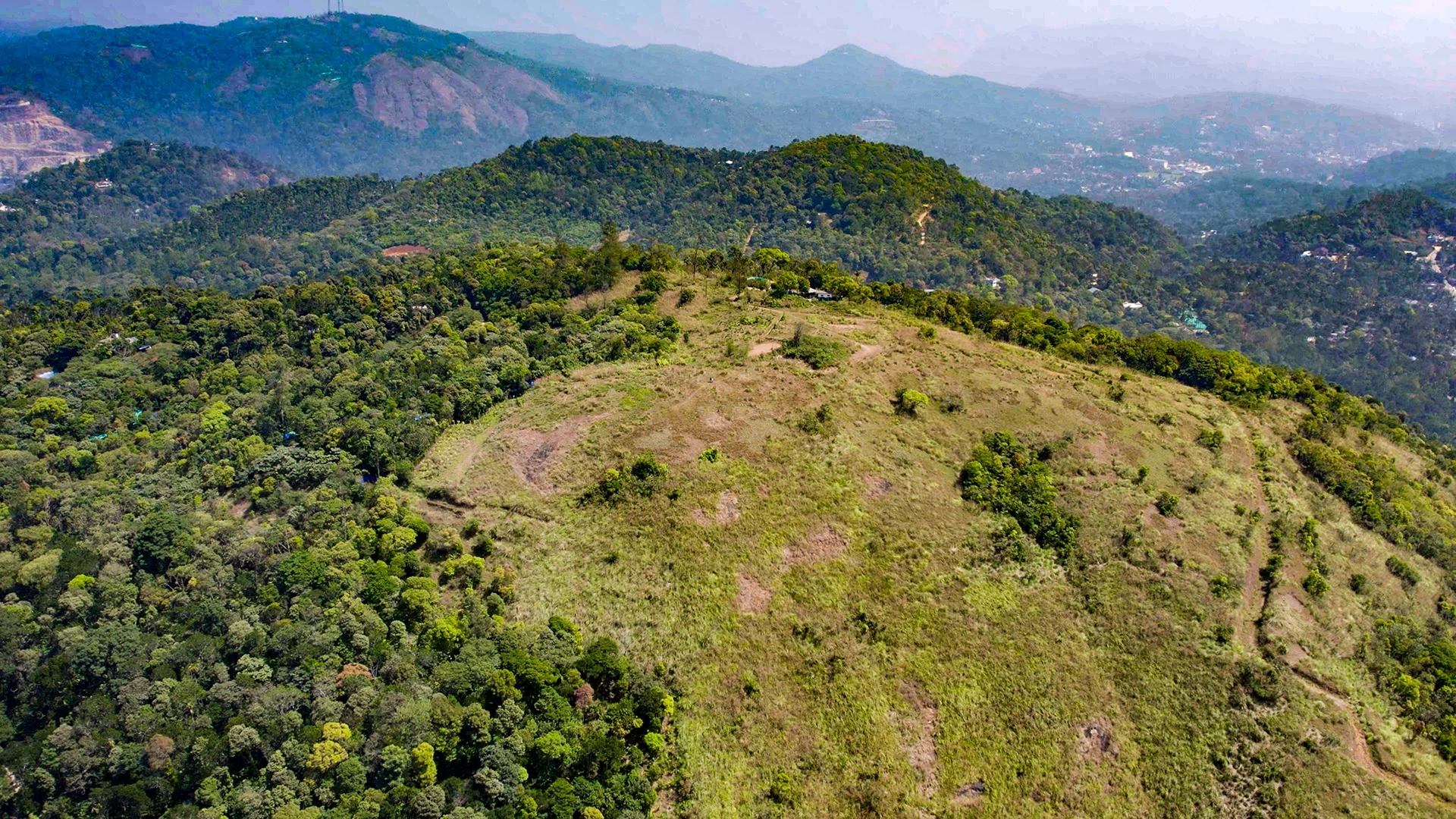
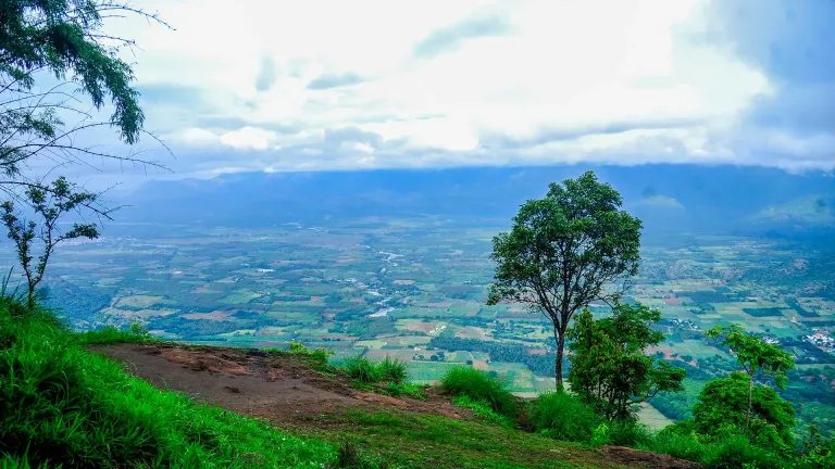
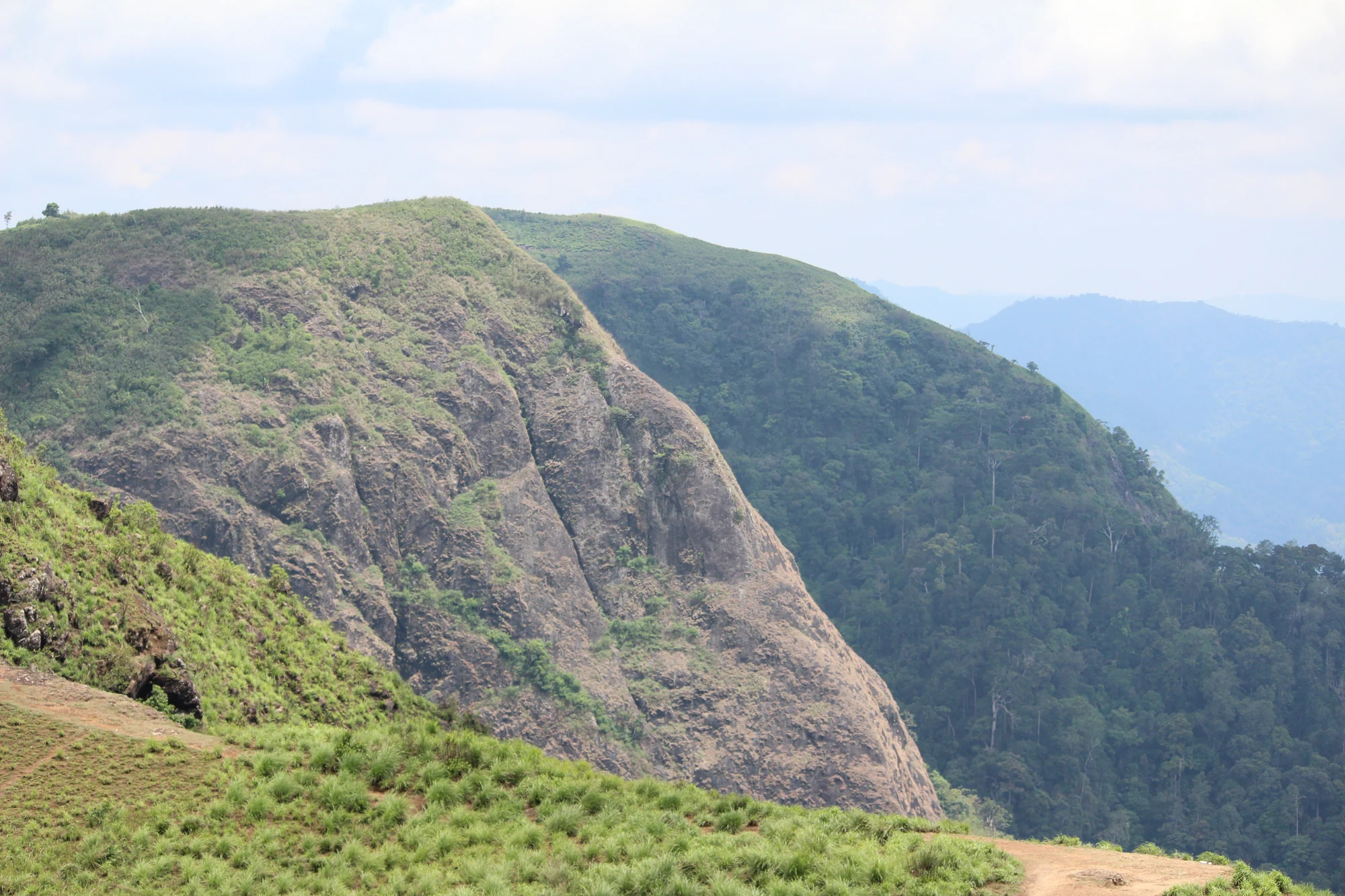
The operator describes the hike through its terrain: undulating ground, escarpments and watersheds, with the Cumbam Valley visible from suitable points. That is a useful description for someone choosing the programme. It suggests a day of changing gradients and viewpoints rather than a level path around the edge of a lake. Visibility still depends on weather and the route used by the guides.
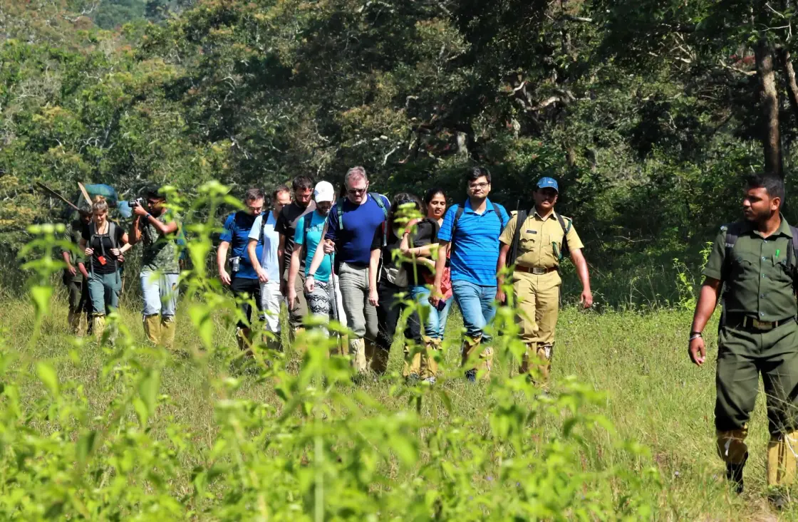
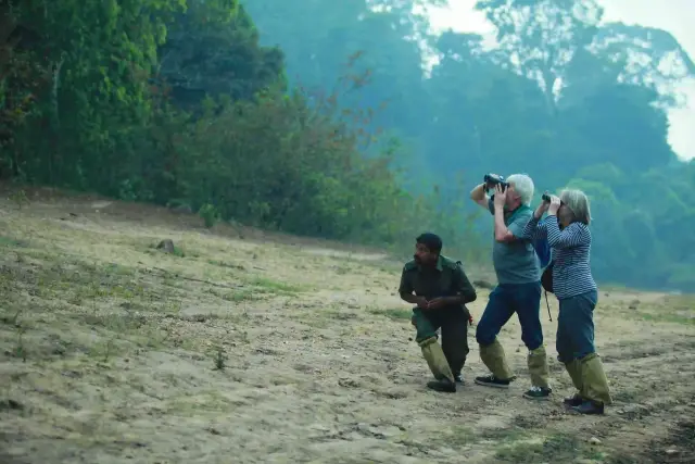
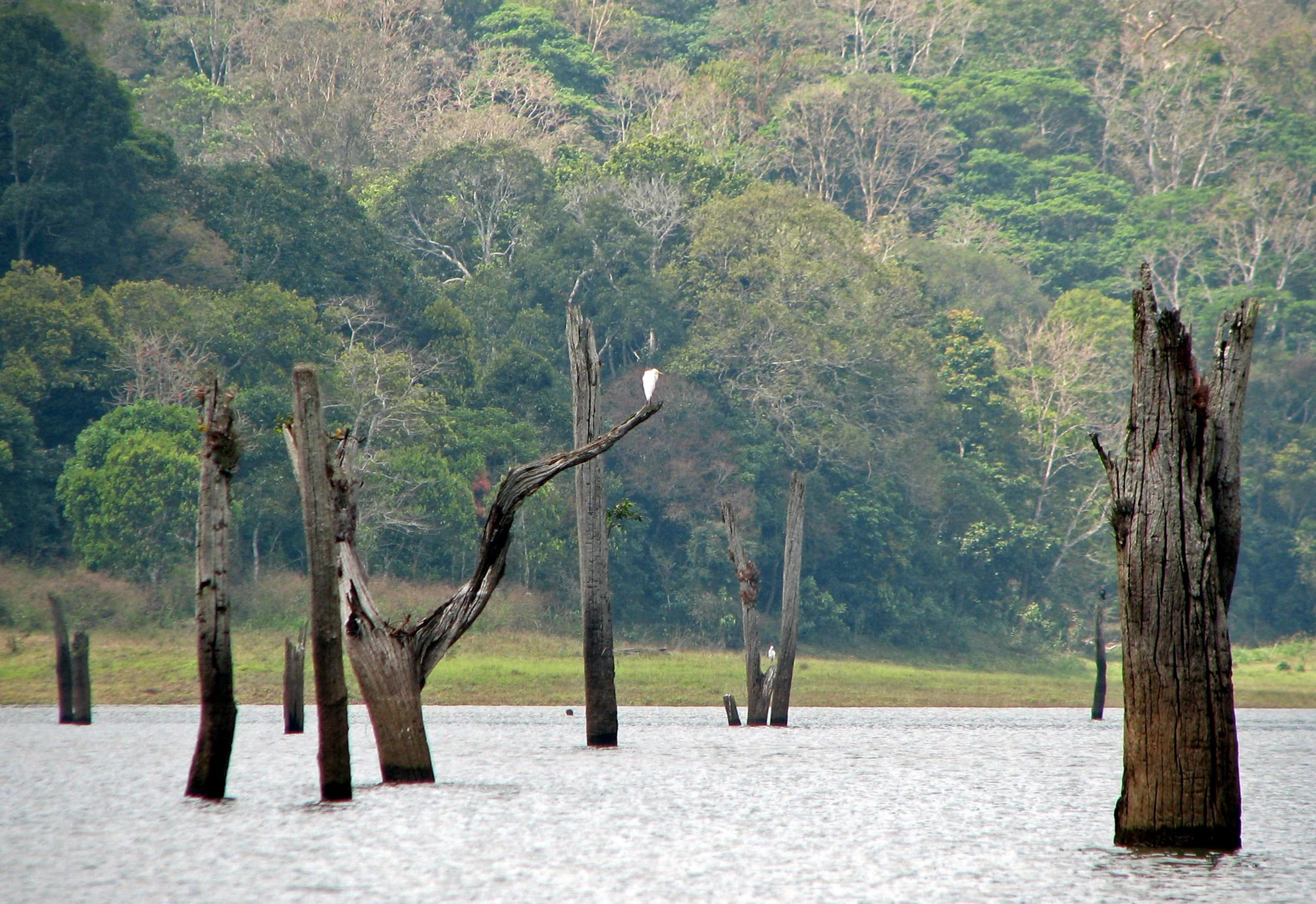
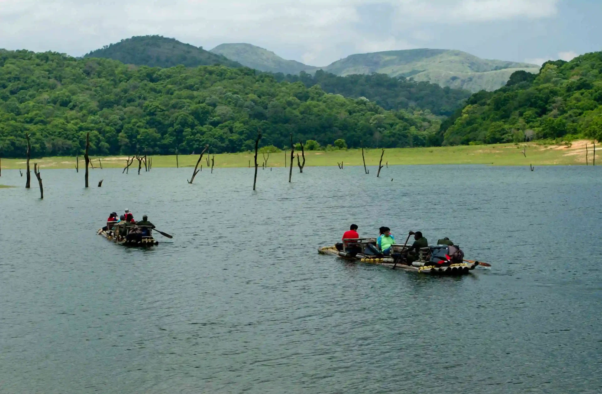
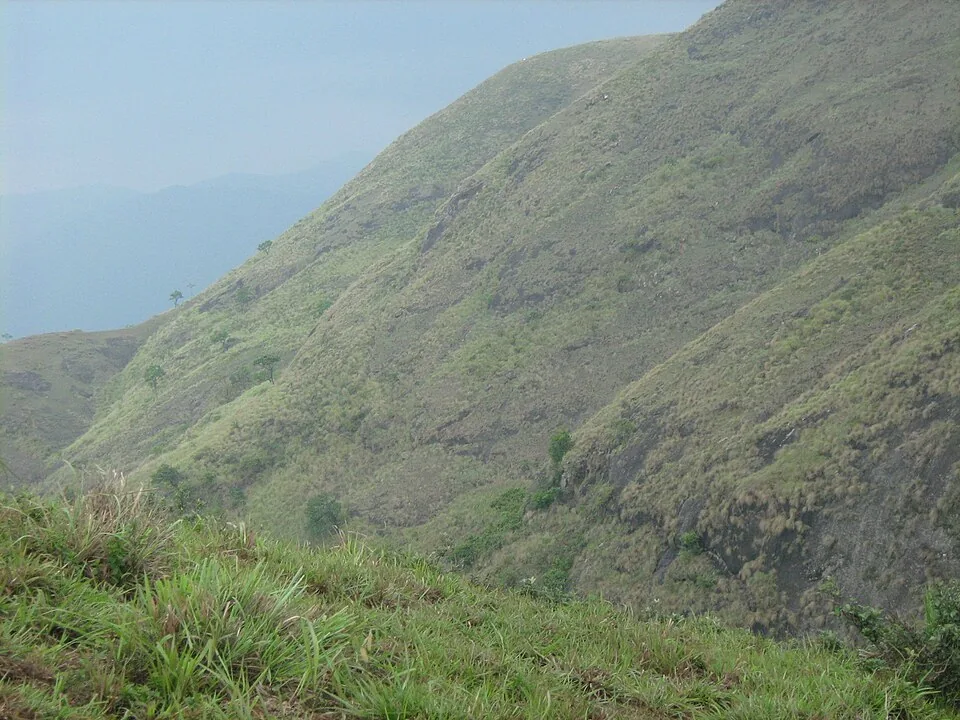
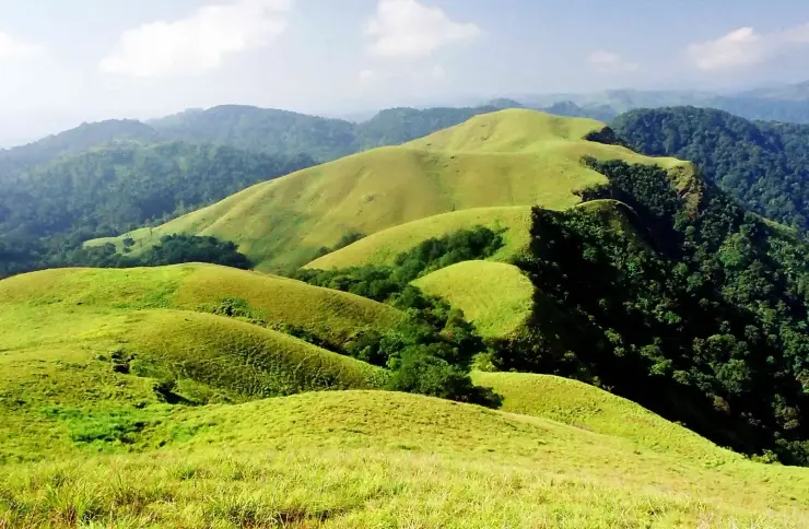
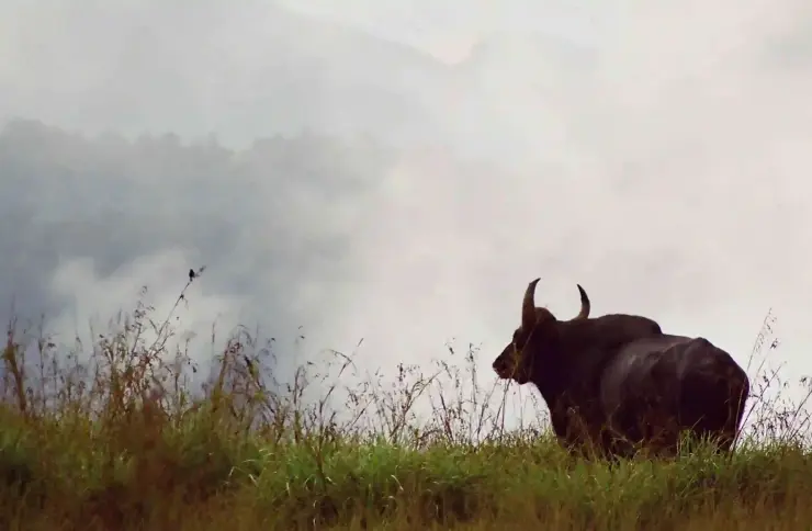
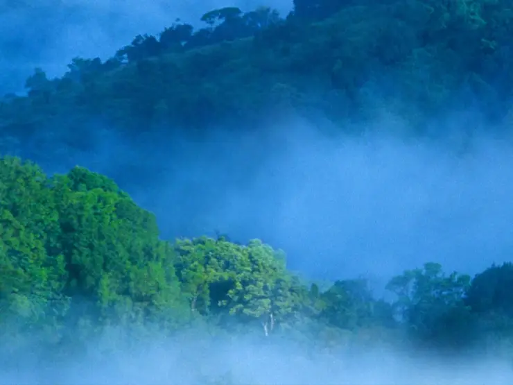
The grass-covered ridges in the programme’s photographs are not empty space between the forests. They give the landscape its open forms and make the contrast with darker wooded gullies especially clear. An attentive walker can notice where vegetation closes around the trail and where it opens again without treating every gap as a place to leave the group.
A watershed is a divide in the movement of rainwater. On a ridge, water falling on different sides can begin journeys into different drainage lines. You do not need to identify every stream by name to understand why the high ground matters. Looking from the crest into a hollow can connect the shape of the slope with the vegetation occupying it.
The official altitude band describes the route landscape, not a promise that every departure reaches a single named summit at a precise height. Similarly, the word border should not be read as an invitation to cross a state boundary wherever a map suggests a shortcut. This is a reserve-controlled hiking programme whose practical identity lies in its booked route and accompanying team.
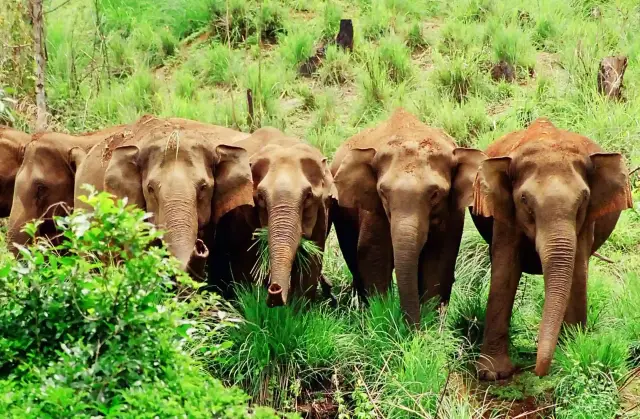
Wildlife observation changes between open grass and wooded cover. A gaur on a misty slope may appear first as a dark outline; a langur in a tree can be partly concealed by branches. Both kinds of scene occur in the operator’s gallery. The useful skill is patient observation from the permitted position, not moving until the view resembles a photograph in the brochure.
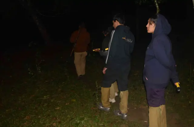
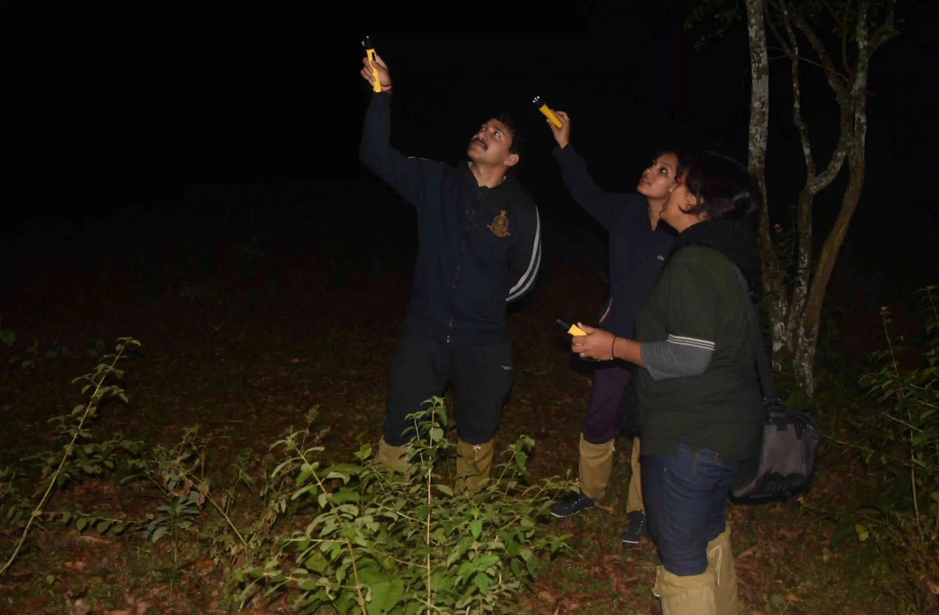
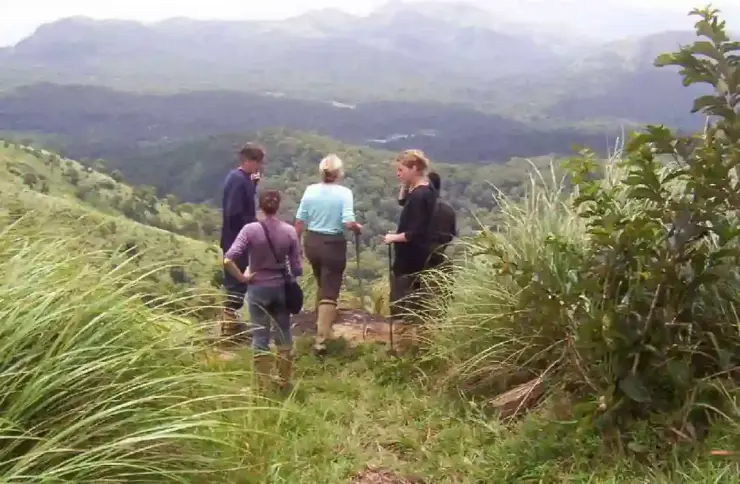
The presence of an armed forest official is part of the programme’s protection and supervision. It is not a reason for visitors to relax their own discipline. The group still needs to stay together, make room for wildlife and accept a changed plan if the guides judge the situation unsuitable. The longest or most dramatic line on a map is not automatically the day’s route.
Keeping the entire day available allows the hike to develop at its intended scale. An extended stop may be spent looking or listening rather than accumulating distance. The return is part of the walk, with fatigue affecting how uneven ground feels. A programme of this length suits a trip in which the forest has its own day, rather than the remaining hours between two road transfers.
Read the full history of Periyar Border Hiking 242 more words
History
Border Hiking belongs to Periyar’s organised ecotourism catalogue, which connects accompanied visitor activities with forest conservation and local livelihoods. Its current Brandipara and Thondiyar listings make that organisation visible through the different reporting offices and the guides assigned to the departure.
The reserve’s institutional history records the India Eco-Development Project in 1996 and the later foundation arrangements supporting conservation work. These dates explain the wider setting of community-linked programmes; they do not establish an invented launch year for Border Hiking itself.
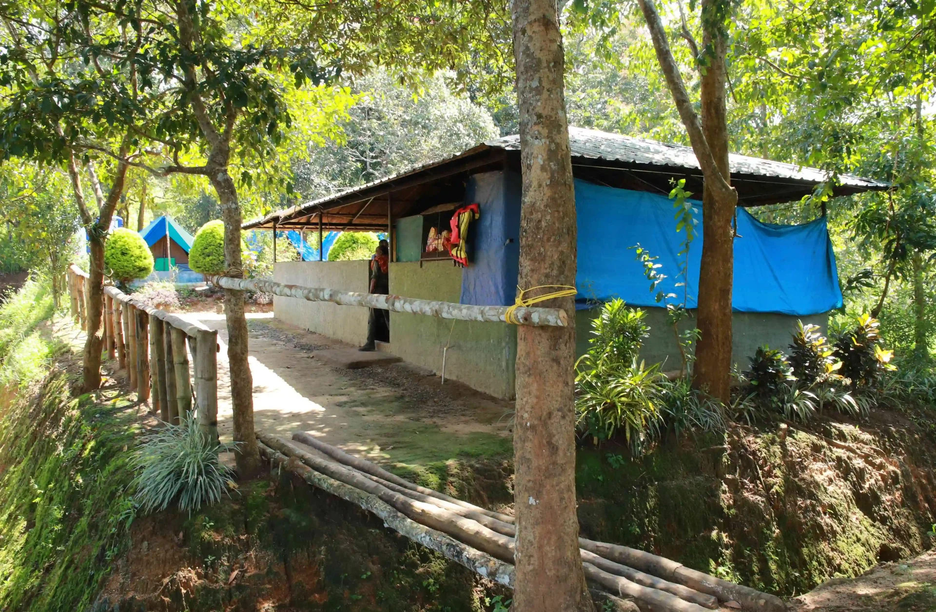
The two departure names preserve an important piece of the programme’s geography. Thondiyar’s rules identify the Tribal Trackers office near Bamboo Grove; Brandipara identifies the Ex Vayana office at the Forest Check Post. Reading both keeps local programme names attached to their actual visitor arrangements.
That relationship between named offices, guiding and protected terrain is more useful than an embellished wilderness narrative. Visitors enter an actively managed landscape. The day’s freedom comes from spending time on foot with people authorised to lead the route, while respecting the boundaries that make the programme possible.
Why visit
Choose Border Hiking when forest walking is the main purpose of a day in Thekkady.
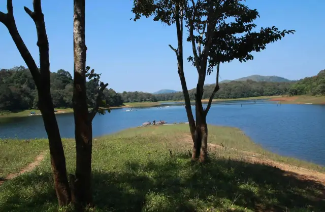
The ridge-and-hollow terrain provides a different perspective from Periyar’s lake cruises and shorter interpreted walks.
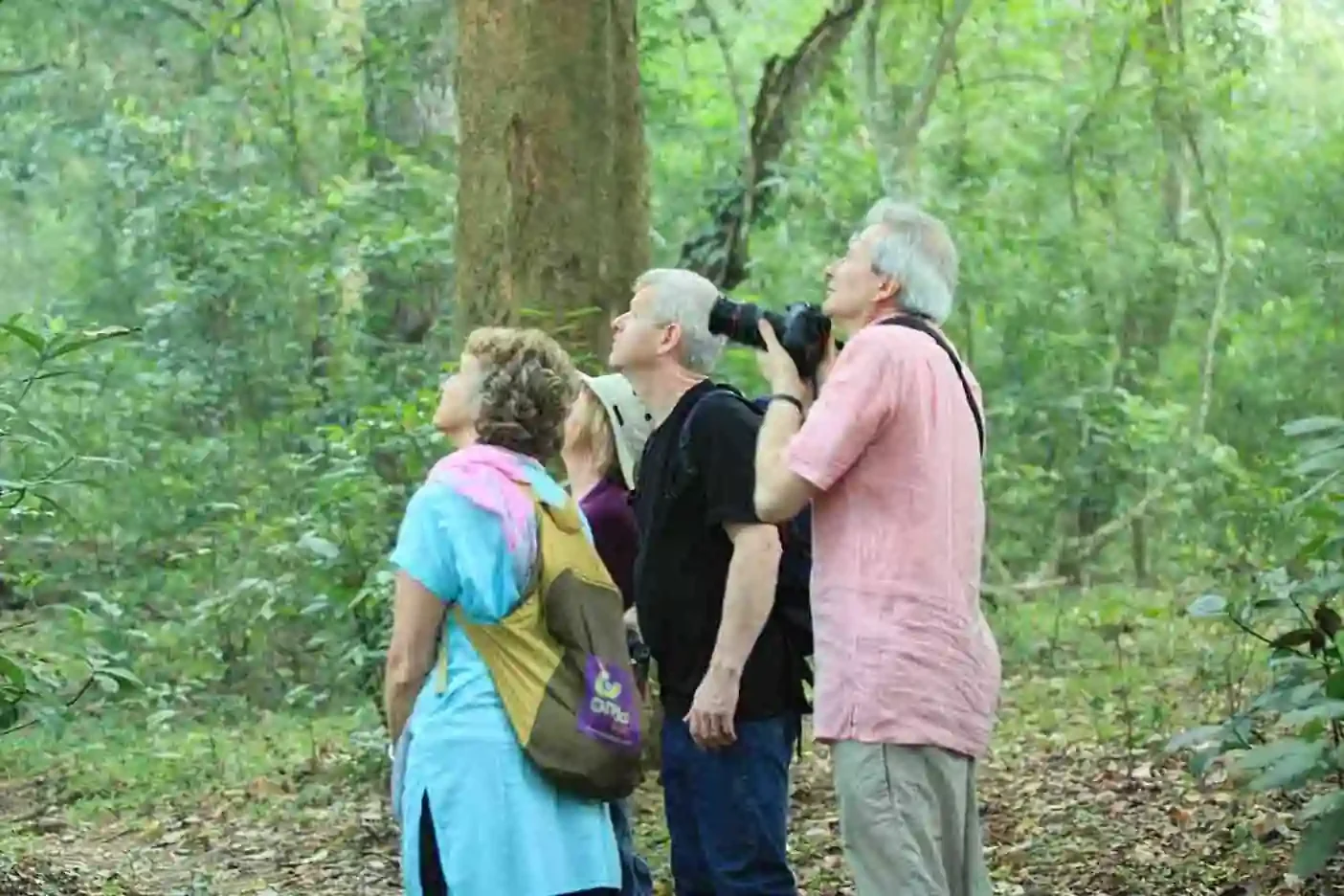
A guide can connect the visible vegetation and animal signs with the landscape rather than treating the day as a summit race.
The route’s changing enclosure and exposure offers varied subjects for photography even without a large-mammal encounter.