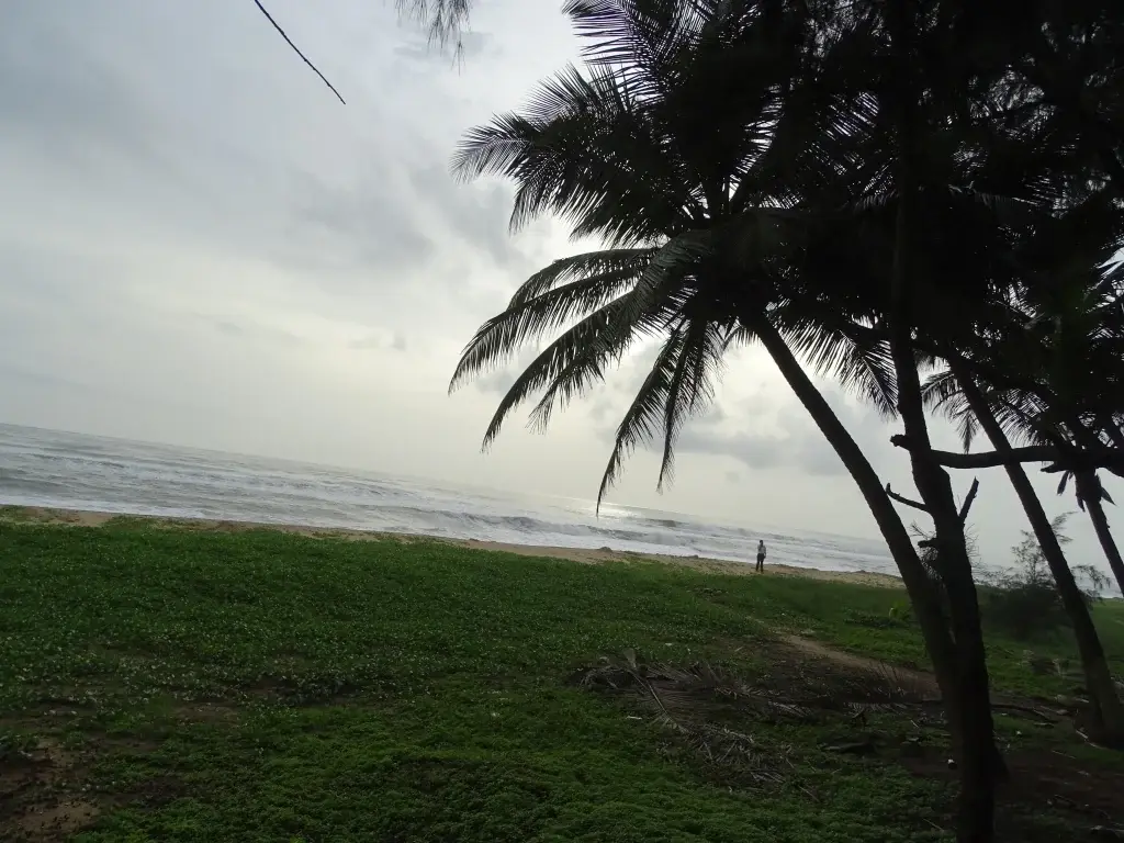
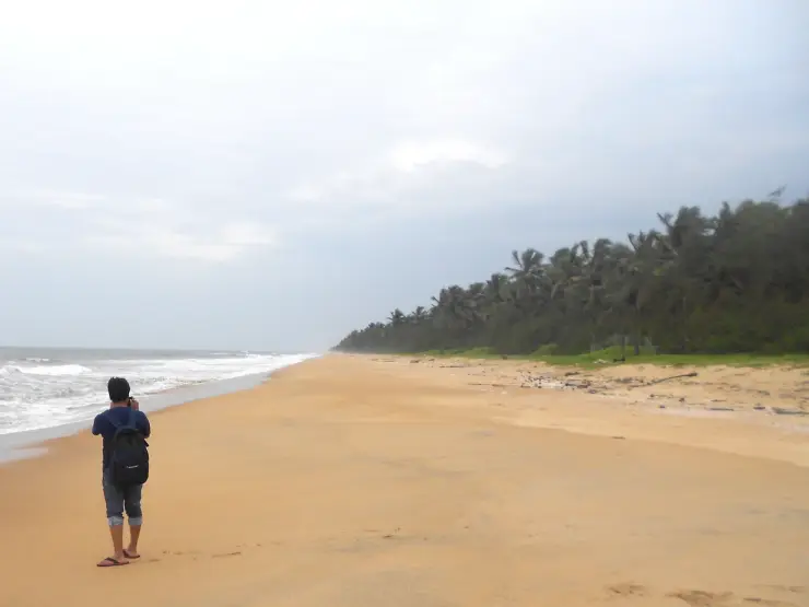
Kanhangad’s beach opens away from the town into a long sea-and-sand view. Palms and other coastal planting mark the landward edge, while the working Hosdurg shore gives the place a practical rhythm beyond an evening walk. The town and the landing beach are close in the visitor’s plan, but each works differently.
The story of Kanhangad beach
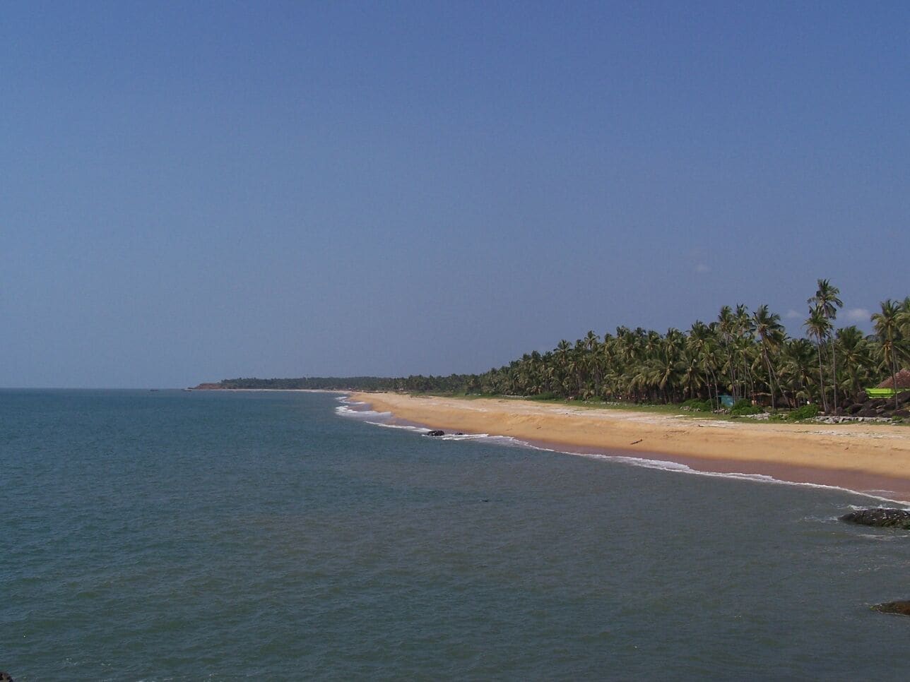
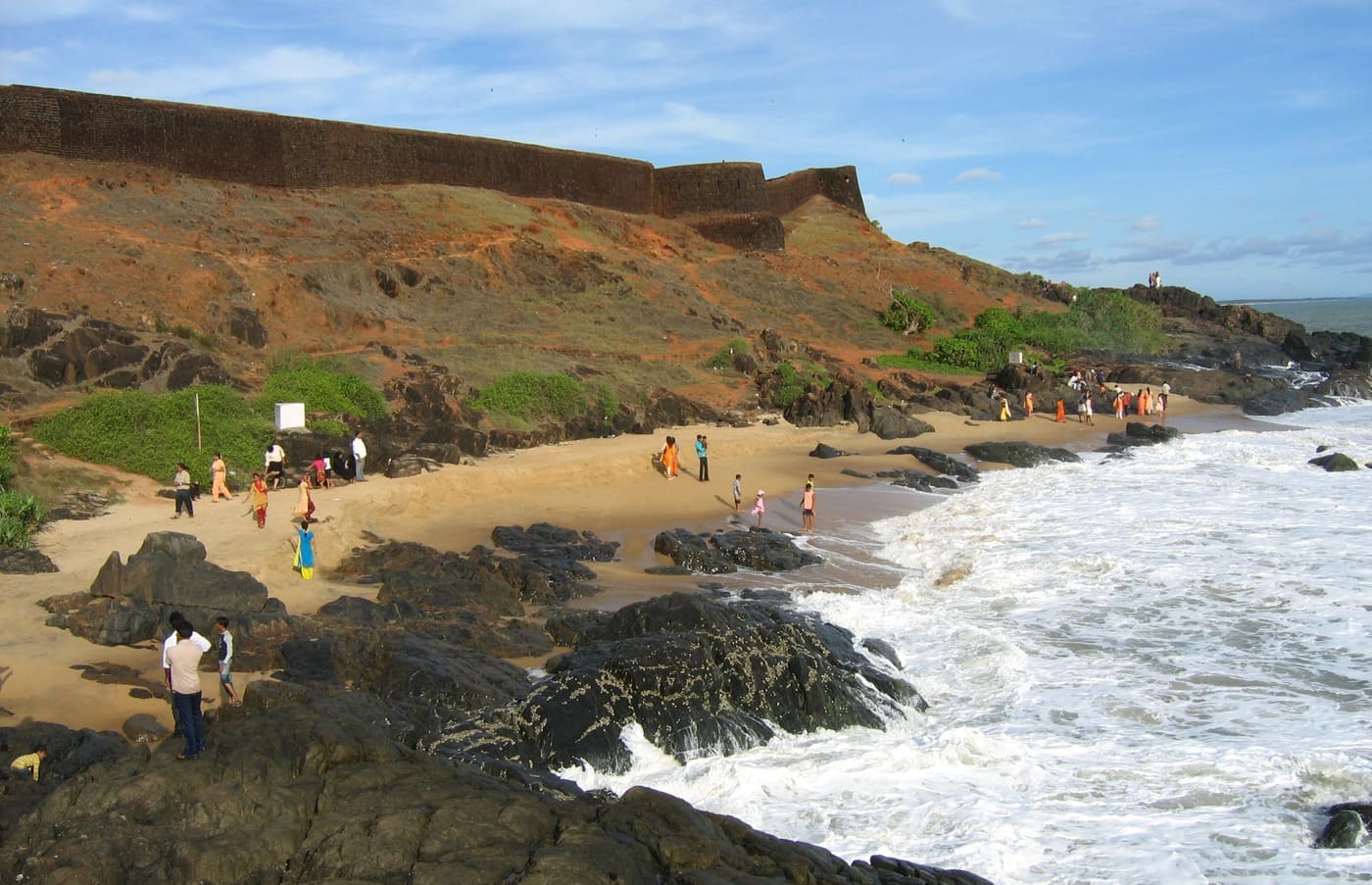
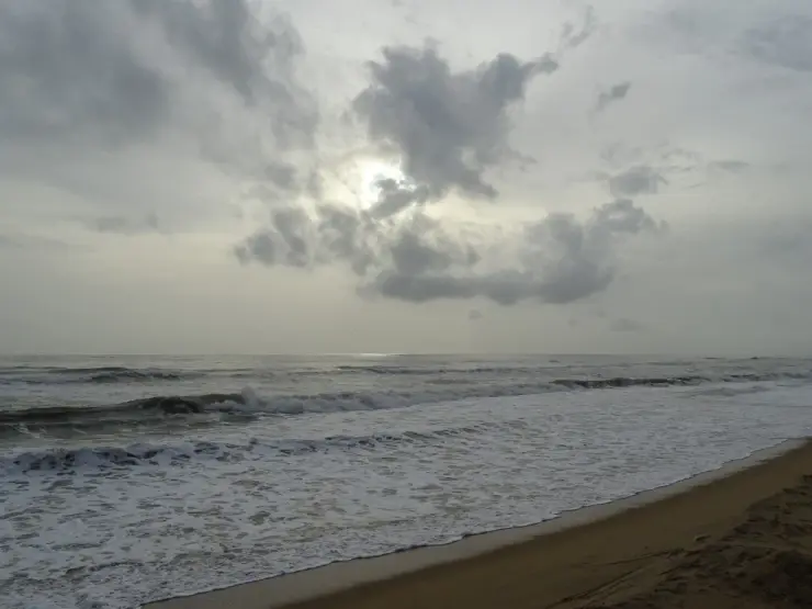
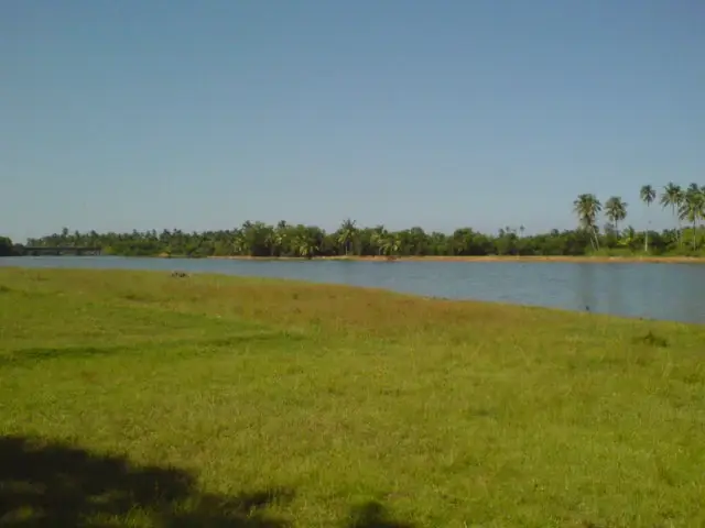
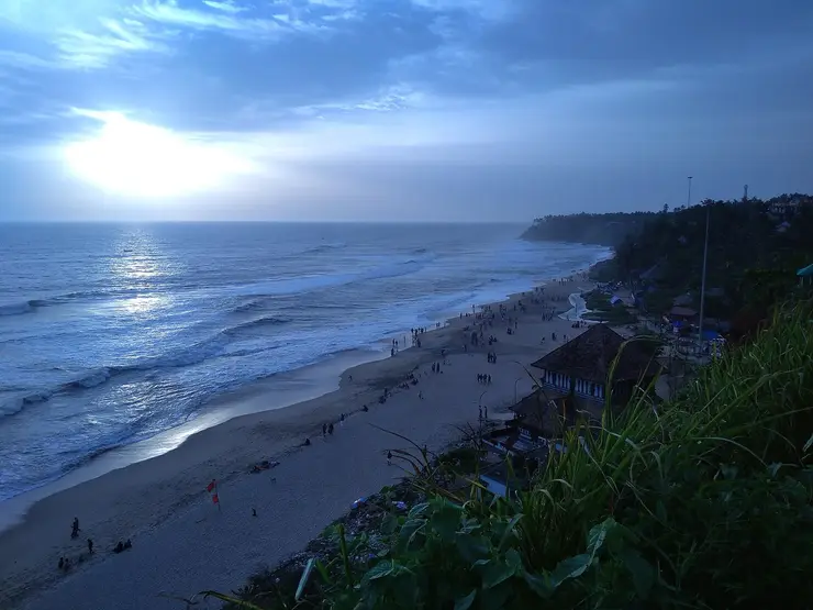
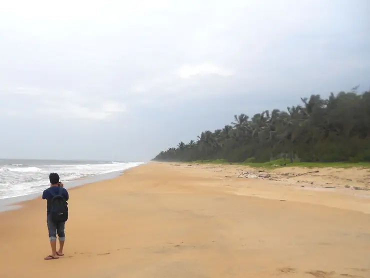
The broad view is simple: sand in the foreground, waves crossing the middle distance and a low horizon beyond. Kerala Tourism’s original photographs show different light and sea conditions on this frontage. One includes a palm-lined edge; another emphasises an overcast sky and a stronger line of surf. Neither should be read as a promise of the conditions on arrival.
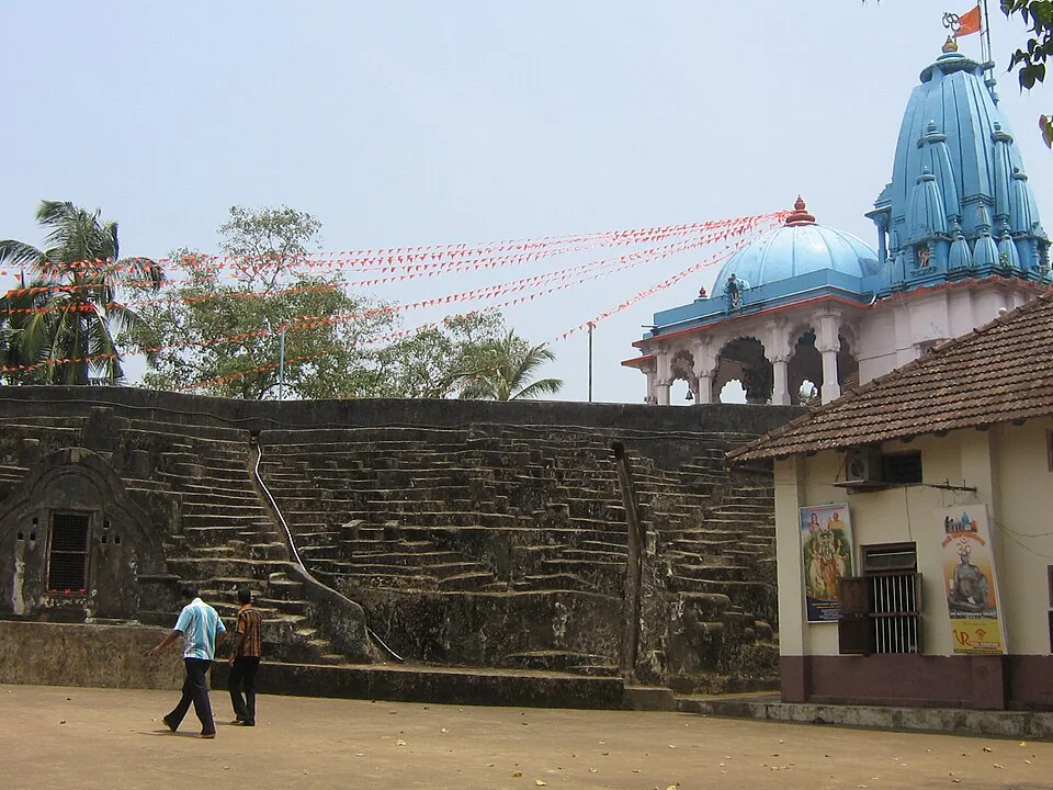
The name Kanhangad can refer to the whole town, which is why the final beach approach needs attention. A map search may otherwise lead to a prominent inland temple, the fort or a transport centre. The beach page concerns the Hosdurg coastal frontage. Keeping that distinction clear is the first practical step in a short visit.
The coastal tourism study gives the shore a more specific role than a generic leisure beach. It identifies Hosdurg mainly as a fish-landing centre and describes a long, wide sandy stretch with casuarina planting. Fishing activity is therefore part of the place’s documented character, even when no landing is happening during a particular visit.
A landing shore has its own circulation. Boats need room, gear may occupy stretches of sand, and people move between the water and the settlement. A visitor can watch from outside that movement without turning work into an arranged demonstration. Ask before making close photographs of individuals, and never shift a net or rope to clear a foreground.
The Fisheries Department’s village register also helps make sense of the coast. It lists Hosdurg in Kanhangad separately from Ajanoor and from settlements farther south. These administrative names are not necessarily a visitor’s exact stopping point, but they demonstrate why neighbouring beach labels should not be casually merged into one attraction.
Kanhangad town provides the broader setting. Kerala Tourism describes it as a commercial centre between the Kannur and Mangaluru directions and notes its multilingual communities. That town role explains why a beach outing can fit around a train journey or an inland meal without requiring a resort-based itinerary.
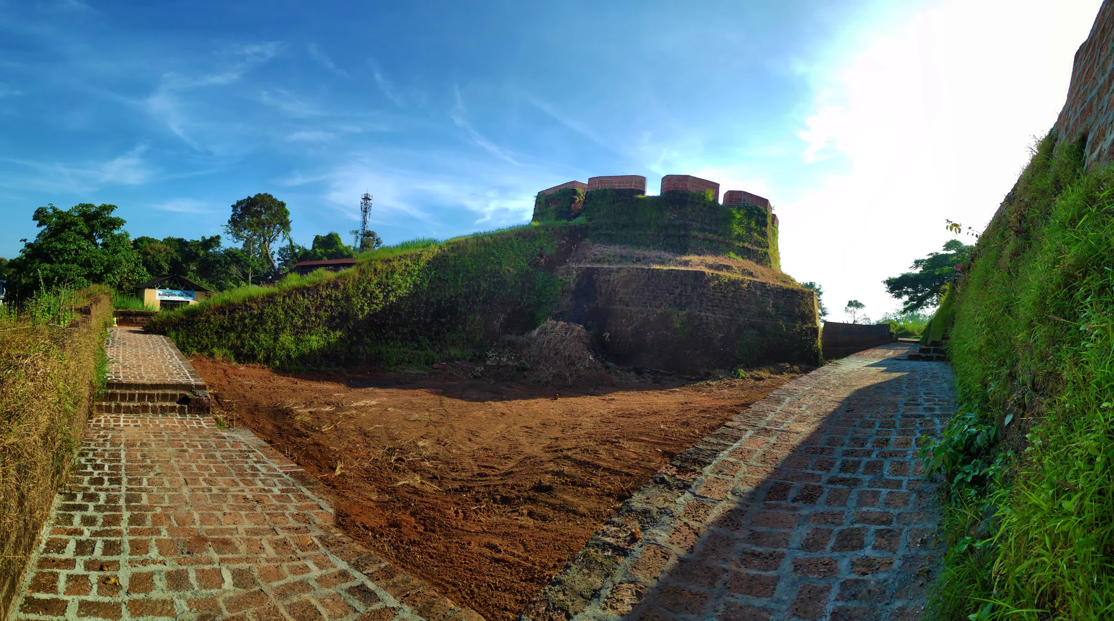
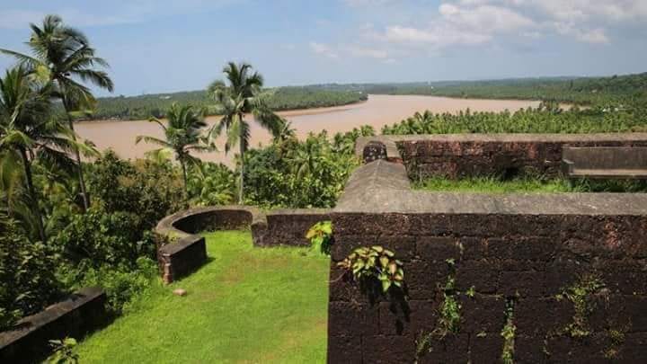
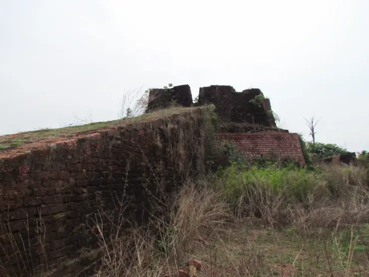
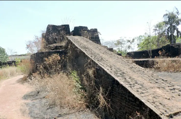
Hosdurg Fort is the strongest nearby historical counterpart. Its laterite remains and round bastions belong to a different kind of visit, associated in Kerala Tourism’s account with the Ikkeri Nayakas. A visitor moving from beach to fort changes both setting and purpose: from an open working coast to a historical structure inland. The fort should have its own map pin and safety assessment.
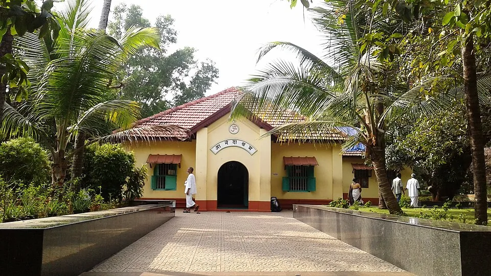
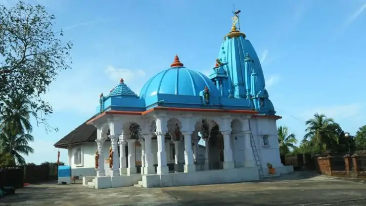
The town’s ashrams likewise have separate identities. They are not beach facilities or substitutes for a coastal photograph. If a spiritual visit is part of the day, use that institution’s actual access arrangements and give it sufficient time. A short beach page should not collapse all of Kanhangad’s places into one shared gate.
Farther along the coast, Ozhinhavalappu, Thaikadappuram and Azhithala appear in the coastal study as different stretches. Features such as an estuary, breakwater or turtle-related conservation programme must stay with the place to which the source assigns them. They are not transferred to Kanhangad Beach merely because the destinations can be reached in the same regional journey.
For an ordinary visit, the best plan remains compact: arrive at the right shore, leave the working space clear, take a measured walk and return to town for the next connection. That gives the beach its own attention while allowing the surrounding town to provide the food, transport and other visits it is better equipped to support.
Kanhangad’s wider coastal ecology includes estuaries as well as the open Hosdurg shore. A particularly well-documented example is Chithari, northwest of town. In the Forest Department’s September 2025 Aranyam, birder Sreekanth C. describes observing an unusual gull there in January 2024 and having its identity confirmed as a Laughing Gull. The record belongs to Chithari, not to this beach’s arrival point, and a rare past visitor cannot be promised on a present-day outing.
The account is valuable for its observation of an ordinary flock as well as the unusual bird. Gulls and terns rested on sandbanks around the Chithari stream, and the observer compared the unfamiliar bird’s bill, legs and markings with the others before seeking expert confirmation. It is a useful model for a coastal nature visit: watch carefully, record what is visible and keep the exact location attached to the observation.
The coastal-tourism planning study also flags turtle-nesting sensitivity along the Hosdurg stretch. That planning entry gives a reason to treat the upper beach gently, leaving marked areas, sand and vegetation undisturbed. It does not establish a hatchery, a visitor release programme or a season when a tourist can expect to see turtles. The same study assigns the Naithal conservation facility to the separate Thaikadappuram–Azhithala stretch, so a visit to that area needs its own destination and arrangement.
The distinction between a fishing shore and an estuary helps when choosing a second stop. At Hosdurg, the documented working activity centres on boats landing along the beach. At an estuary, the meeting of river and sea creates a different arrangement of channels and sandbanks. A photograph of one should not stand in for the other. If birds or river scenery are the main interest, name the particular estuary in the day’s plan instead of extending the Kanhangad Beach label along the whole coast.
Inland water gives the town another connection to the surrounding landscape. Kerala Tourism identifies the Arayi River as originating in Madikai and passing through Kanhangad before joining the Neeleshwar. That is a river journey through the wider area, separate from the beach’s open-sea horizon. It helps explain why town itineraries can include both inland water and coast while still requiring different roads and stopping places.
Language is another part of Kanhangad’s everyday character. Kerala Tourism notes Malayalam-speaking residents alongside Tulu, Konkani and Kannada-speaking communities. The town sits within a northern Malabar travel corridor linking the Kannur and Mangaluru directions. For a visitor, carrying a written destination and a saved map point can be more useful than relying on one spoken rendering of Kanhangad or Hosdurg, particularly when changing between a train arrival and a local road transfer.
Anandashram provides one possible inland counterpart to a beach walk. Its own account centres on Nama, Dhyana and Seva: repetition of the divine name, meditation and service. The institution identifies its Bhajan Mandir as its initial structure and describes separate Samadhi Mandirs. A visit belongs to those devotional spaces and their current routine. It offers a change of purpose from the shore, so allow time to enter respectfully rather than treating it as a brief beach-side photo stop.
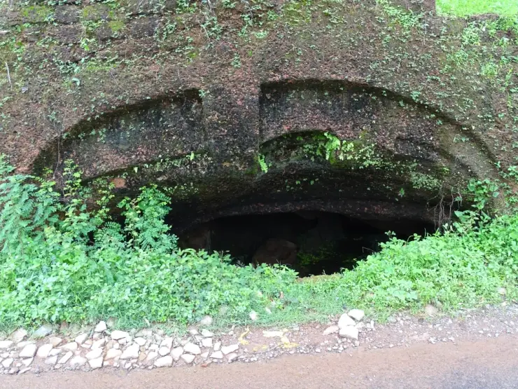
Anandashram and Nithyananda Ashram should also remain distinct from one another. The latter is associated in Kerala Tourism’s account with the caves near Hosdurg. The cave photograph used in the accompanying town story illustrates that separate institution, not a feature buried beneath the beach. Choosing one cultural stop carefully usually makes a more coherent short day than moving between several institutions without understanding whose history each preserves.
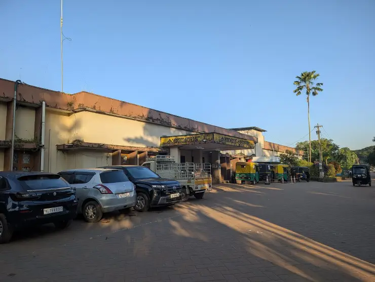
A railway arrival makes the town a practical organising base. The gallery’s platform view shows a covered rail environment with several tracks; the station entrance in the arrival story shows the place where the road transfer begins. Keep those stages separate when arranging a pickup. A driver meeting a train needs the station entrance, while a driver collecting someone after a beach walk needs the coastal-road reference used for the outward journey.
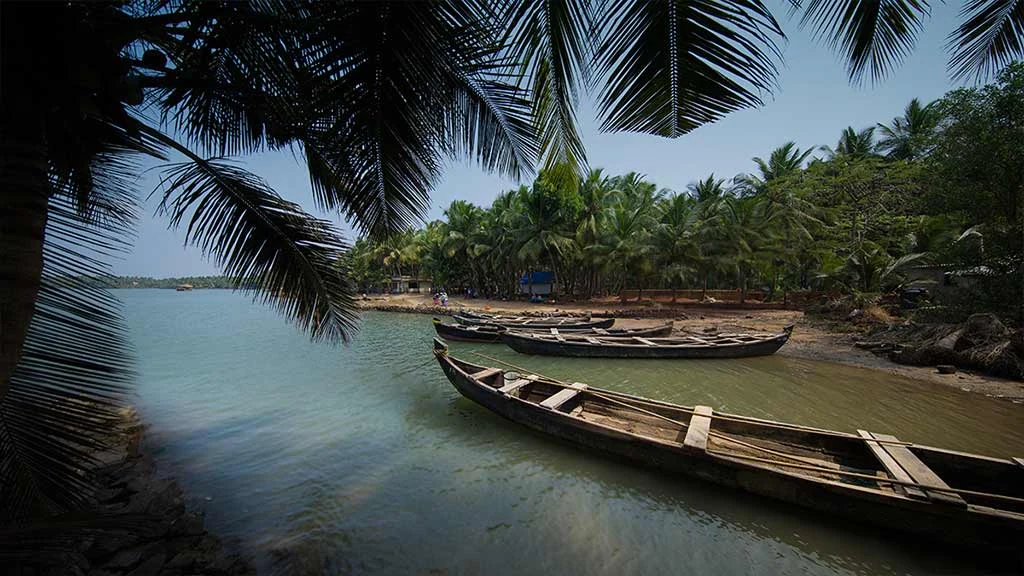
On the shore itself, the photograph of grounded boats gives the landward edge a purpose. The boats occupy space beyond the immediate wash, and the sand between them is part of getting equipment and people to the water. A visitor’s route should bend around that activity. If a crew is preparing to move a boat, stand well clear of its path and watch from a position where the workers do not have to redirect the visit around their task.
The long horizon can make a modest walk feel spacious without requiring a long distance. Choose an outward direction from the arrival point and keep a recognisable landward reference in view. Turn back before a working area or a change in the shoreline makes the route less straightforward. The aim is to enjoy the particular Hosdurg frontage and return comfortably to town, leaving distant coves and river mouths for separate journeys.
The wider Hosdurg coast supports different kinds of fisheries, and a comparison helps explain the particular role of this landing beach. A Central Marine Fisheries Research Institute study documents mussel farming in the Padanna and Cheruvattur backwaters farther south. The work belongs to those named backwater areas, not to a farm on Kanhangad Beach. It provides a useful contrast between raising shellfish in a managed growing area and boats returning to an open landing shore with a marine catch.
The 2001 study records the introduction of mussel-culture methods to organised groups, many of them women, with technical and financial support. Its subject is both cultivation and the organisation needed to bring a product to market. That historical account broadens the meaning of coastal work beyond the moment a boat touches sand. Food sold in a town restaurant can have passed through several kinds of labour and supply, and its origin should be asked about rather than inferred from the restaurant's proximity to the sea.
At Hosdurg's beach, watching from outside a landing operation can reveal a similar sequence at a smaller scale: the boat, the movement between water and land, and the space needed for gear and people after arrival. Not every stage will be taking place during a short visit. The shoreline is still worth understanding when boats are resting and the working space is temporarily quiet. Equipment left on the sand remains part of that operation even when its users are elsewhere.
If fisheries are the main interest of a longer trip, choose the second destination according to the activity. A backwater cultivation visit requires a named host and a confirmed arrangement; an ordinary beach walk requires the public shore approach and room for local work. The difference is especially important around the broad Hosdurg taluk label, which covers more than this one frontage. Keeping Padanna, Cheruvattur and Kanhangad distinct produces a clearer journey and avoids expecting a mussel farm, hatchery or organised demonstration at the wrong beach.
A meal in Kanhangad can then complete the coastal outing without pretending to identify the source of every fish on the menu. Ask what is available and how it is prepared, and let the restaurant describe its own food. The landing shore offers a view of work; the meal offers a different encounter with the coast's produce. Giving each its own place in the day makes the connection useful while respecting the people carrying out both kinds of work.