Kanhangad beach

Kanhangad Beach is the Hosdurg coastal frontage of Kanhangad in Kasaragod district, with a broad sandy shore and an established fish-landing setting. It is a beach visit from Kanhangad town, distinct from Hosdurg Fort, the town’s ashrams and the separately named beaches at Ajanur, Ozhinhavalappu and Thaikadappuram. Use the named beach approach rather than a generic Kanhangad map result. The shore’s working character is central to the visit: leave boats, nets and landing passages clear while enjoying the sea-facing sand.

Kanhangad beach, Kanhangad
Practical guide

Plan Kanhangad beach

Who's going?Tailor Kanhangad beach to your trip
Typebeach
AreaKanhangad
DistrictKasaragod
Best timeDaylight makes the approach and any…
Time neededAllow around 1–2 hours for a beach walk…
Places to visit4Listed businesses6
The story

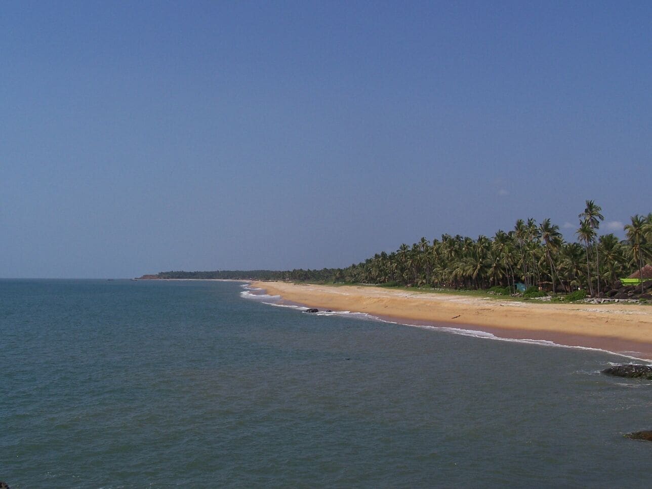
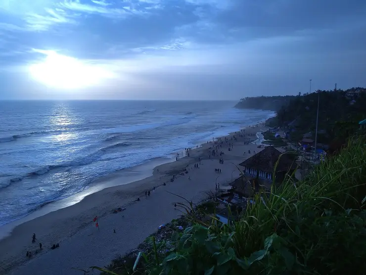
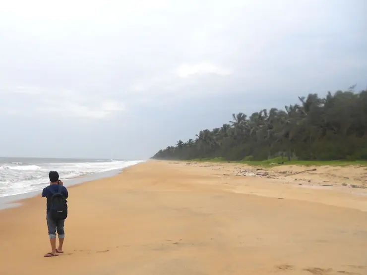
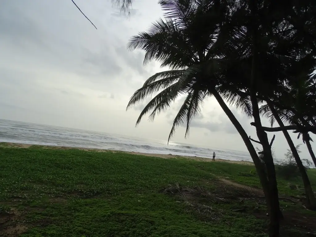
Kanhangad’s beach opens away from the town into a long sea-and-sand view. Palms and other coastal planting mark the landward edge, while the working Hosdurg shore gives the place a practical rhythm beyond an evening walk. The town and the landing beach are close in the visitor’s plan, but each works differently.

The story of Kanhangad beach

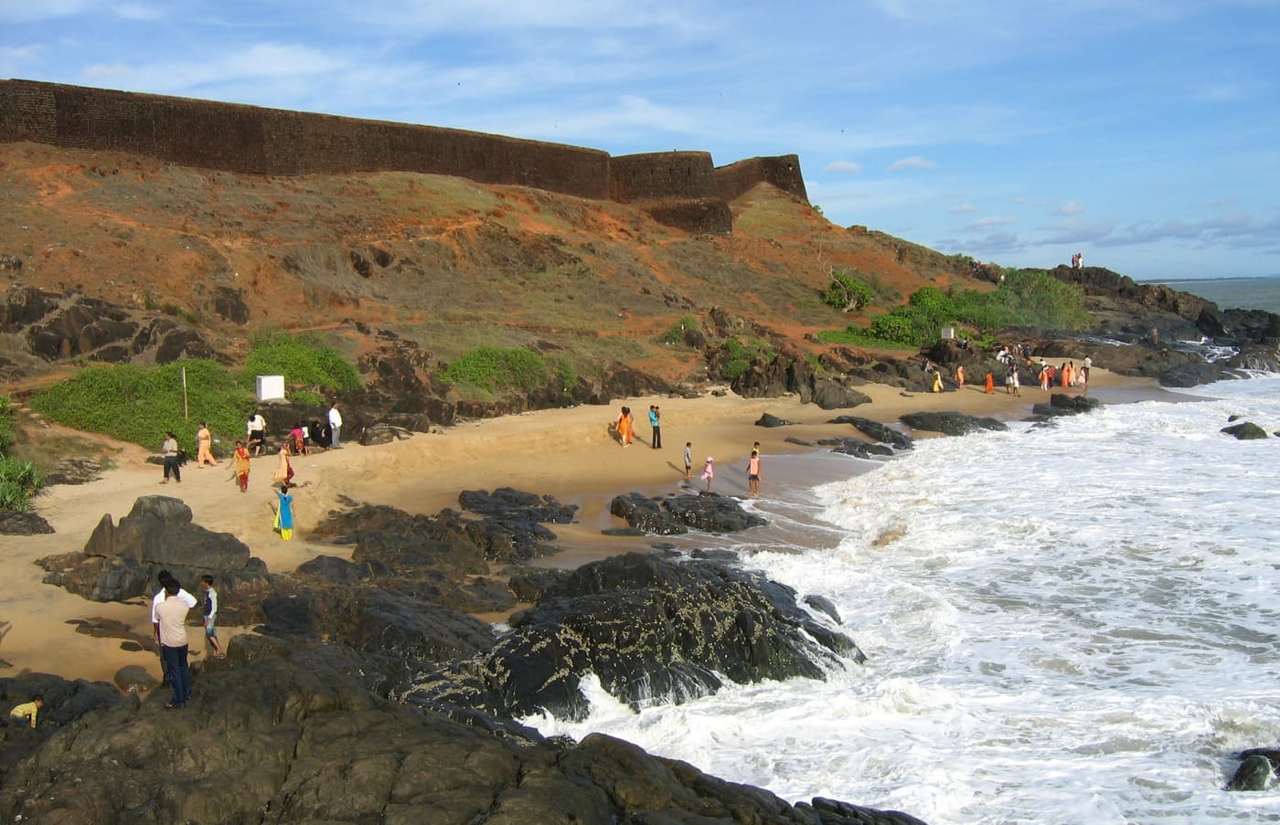
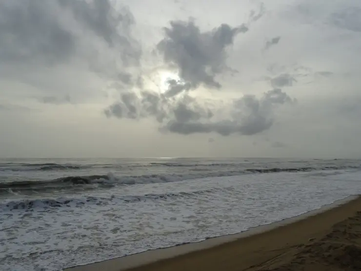
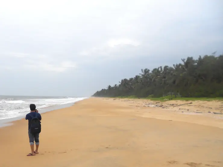
The broad view is simple: sand in the foreground, waves crossing the middle distance and a low horizon beyond. Kerala Tourism’s original photographs show different light and sea conditions on this frontage. One includes a palm-lined edge; another emphasises an overcast sky and a stronger line of surf. Neither should be read as a promise of the conditions on arrival.

The name Kanhangad can refer to the whole town, which is why the final beach approach needs attention. A map search may otherwise lead to a prominent inland temple, the fort or a transport centre. The beach page concerns the Hosdurg coastal frontage. Keeping that distinction clear is the first practical step in a short visit.

The coastal tourism study gives the shore a more specific role than a generic leisure beach. It identifies Hosdurg mainly as a fish-landing centre and describes a long, wide sandy stretch with casuarina planting. Fishing activity is therefore part of the place’s documented character, even when no landing is happening during a particular visit.

A landing shore has its own circulation. Boats need room, gear may occupy stretches of sand, and people move between the water and the settlement. A visitor can watch from outside that movement without turning work into an arranged demonstration. Ask before making close photographs of individuals, and never shift a net or rope to clear a foreground.

The Fisheries Department’s village register also helps make sense of the coast. It lists Hosdurg in Kanhangad separately from Ajanoor and from settlements farther south. These administrative names are not necessarily a visitor’s exact stopping point, but they demonstrate why neighbouring beach labels should not be casually merged into one attraction.

Kanhangad town provides the broader setting. Kerala Tourism describes it as a commercial centre between the Kannur and Mangaluru directions and notes its multilingual communities. That town role explains why a beach outing can fit around a train journey or an inland meal without requiring a resort-based itinerary.

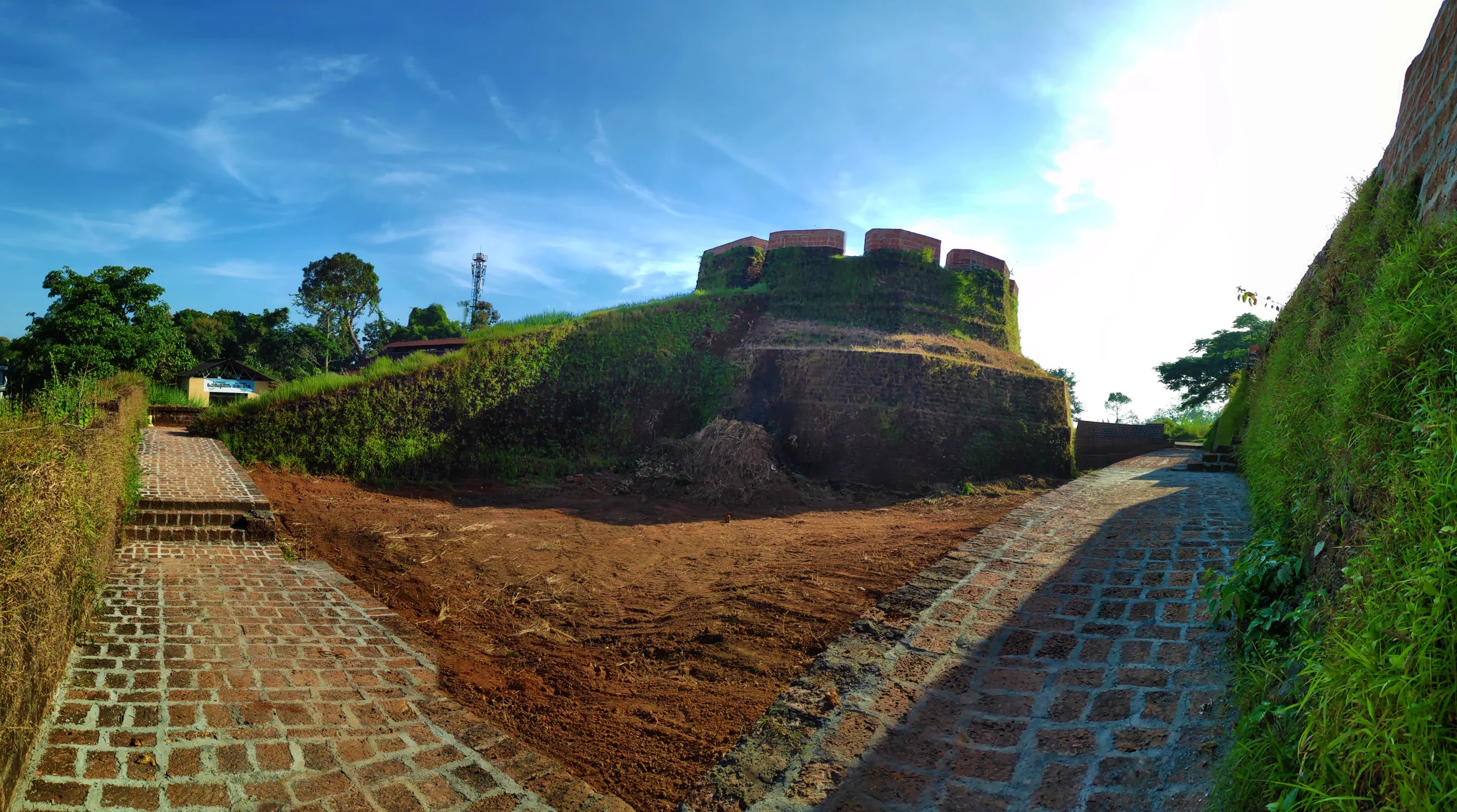
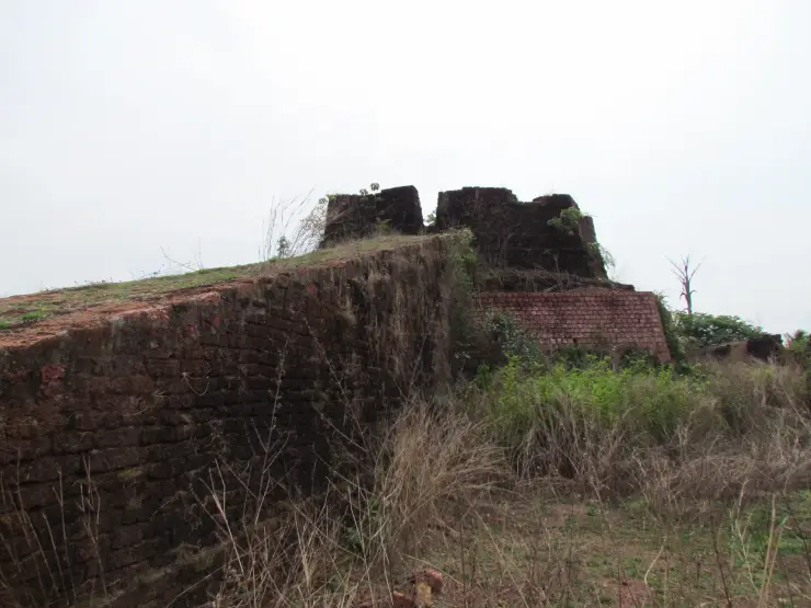
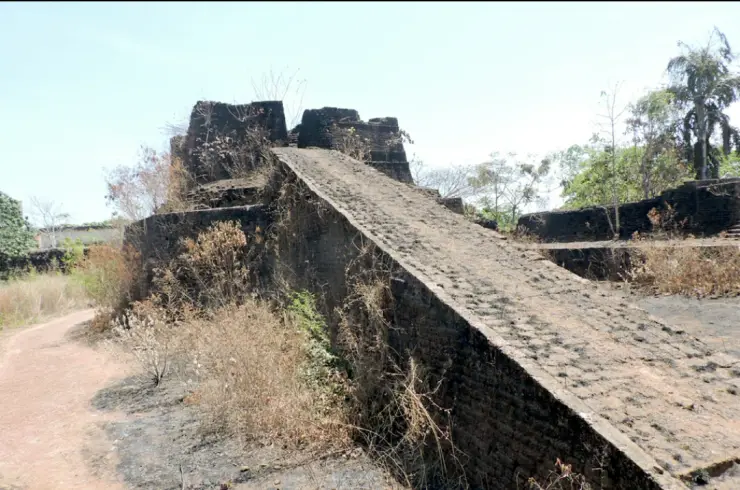
Hosdurg Fort is the strongest nearby historical counterpart. Its laterite remains and round bastions belong to a different kind of visit, associated in Kerala Tourism’s account with the Ikkeri Nayakas. A visitor moving from beach to fort changes both setting and purpose: from an open working coast to a historical structure inland. The fort should have its own map pin and safety assessment.

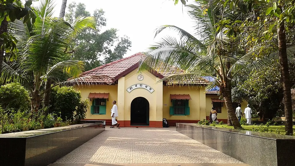
The town’s ashrams likewise have separate identities. They are not beach facilities or substitutes for a coastal photograph. If a spiritual visit is part of the day, use that institution’s actual access arrangements and give it sufficient time. A short beach page should not collapse all of Kanhangad’s places into one shared gate.

Farther along the coast, Ozhinhavalappu, Thaikadappuram and Azhithala appear in the coastal study as different stretches. Features such as an estuary, breakwater or turtle-related conservation programme must stay with the place to which the source assigns them. They are not transferred to Kanhangad Beach merely because the destinations can be reached in the same regional journey.

For an ordinary visit, the best plan remains compact: arrive at the right shore, leave the working space clear, take a measured walk and return to town for the next connection. That gives the beach its own attention while allowing the surrounding town to provide the food, transport and other visits it is better equipped to support.

Kanhangad’s wider coastal ecology includes estuaries as well as the open Hosdurg shore. A particularly well-documented example is Chithari, northwest of town. In the Forest Department’s September 2025 Aranyam, birder Sreekanth C. describes observing an unusual gull there in January 2024 and having its identity confirmed as a Laughing Gull. The record belongs to Chithari, not to this beach’s arrival point, and a rare past visitor cannot be promised on a present-day outing.

The account is valuable for its observation of an ordinary flock as well as the unusual bird. Gulls and terns rested on sandbanks around the Chithari stream, and the observer compared the unfamiliar bird’s bill, legs and markings with the others before seeking expert confirmation. It is a useful model for a coastal nature visit: watch carefully, record what is visible and keep the exact location attached to the observation.

The coastal-tourism planning study also flags turtle-nesting sensitivity along the Hosdurg stretch. That planning entry gives a reason to treat the upper beach gently, leaving marked areas, sand and vegetation undisturbed. It does not establish a hatchery, a visitor release programme or a season when a tourist can expect to see turtles. The same study assigns the Naithal conservation facility to the separate Thaikadappuram–Azhithala stretch, so a visit to that area needs its own destination and arrangement.

The distinction between a fishing shore and an estuary helps when choosing a second stop. At Hosdurg, the documented working activity centres on boats landing along the beach. At an estuary, the meeting of river and sea creates a different arrangement of channels and sandbanks. A photograph of one should not stand in for the other. If birds or river scenery are the main interest, name the particular estuary in the day’s plan instead of extending the Kanhangad Beach label along the whole coast.

Inland water gives the town another connection to the surrounding landscape. Kerala Tourism identifies the Arayi River as originating in Madikai and passing through Kanhangad before joining the Neeleshwar. That is a river journey through the wider area, separate from the beach’s open-sea horizon. It helps explain why town itineraries can include both inland water and coast while still requiring different roads and stopping places.

Language is another part of Kanhangad’s everyday character. Kerala Tourism notes Malayalam-speaking residents alongside Tulu, Konkani and Kannada-speaking communities. The town sits within a northern Malabar travel corridor linking the Kannur and Mangaluru directions. For a visitor, carrying a written destination and a saved map point can be more useful than relying on one spoken rendering of Kanhangad or Hosdurg, particularly when changing between a train arrival and a local road transfer.

Anandashram provides one possible inland counterpart to a beach walk. Its own account centres on Nama, Dhyana and Seva: repetition of the divine name, meditation and service. The institution identifies its Bhajan Mandir as its initial structure and describes separate Samadhi Mandirs. A visit belongs to those devotional spaces and their current routine. It offers a change of purpose from the shore, so allow time to enter respectfully rather than treating it as a brief beach-side photo stop.

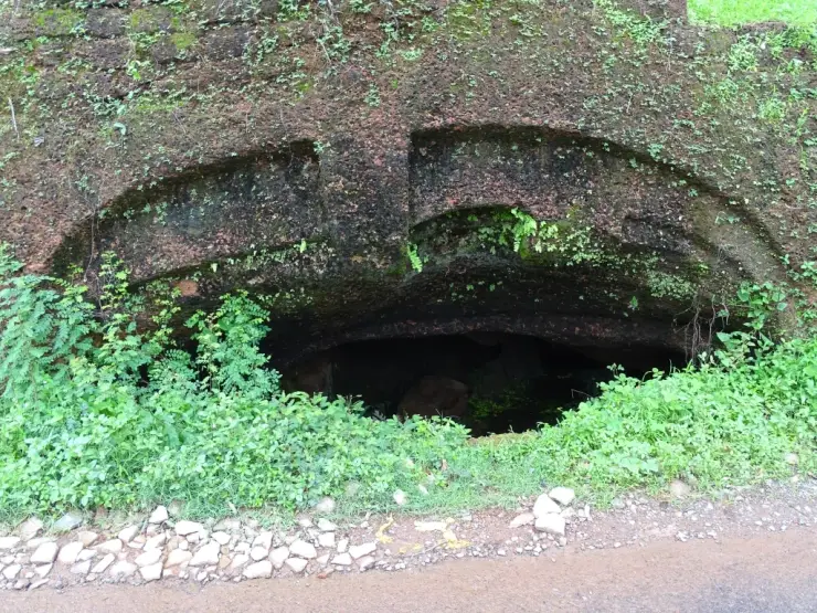
Anandashram and Nithyananda Ashram should also remain distinct from one another. The latter is associated in Kerala Tourism’s account with the caves near Hosdurg. The cave photograph used in the accompanying town story illustrates that separate institution, not a feature buried beneath the beach. Choosing one cultural stop carefully usually makes a more coherent short day than moving between several institutions without understanding whose history each preserves.

A railway arrival makes the town a practical organising base. The gallery’s platform view shows a covered rail environment with several tracks; the station entrance in the arrival story shows the place where the road transfer begins. Keep those stages separate when arranging a pickup. A driver meeting a train needs the station entrance, while a driver collecting someone after a beach walk needs the coastal-road reference used for the outward journey.

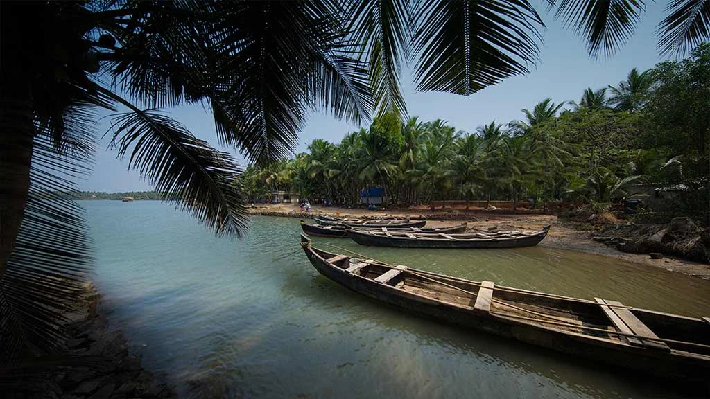
On the shore itself, the photograph of grounded boats gives the landward edge a purpose. The boats occupy space beyond the immediate wash, and the sand between them is part of getting equipment and people to the water. A visitor’s route should bend around that activity. If a crew is preparing to move a boat, stand well clear of its path and watch from a position where the workers do not have to redirect the visit around their task.

The long horizon can make a modest walk feel spacious without requiring a long distance. Choose an outward direction from the arrival point and keep a recognisable landward reference in view. Turn back before a working area or a change in the shoreline makes the route less straightforward. The aim is to enjoy the particular Hosdurg frontage and return comfortably to town, leaving distant coves and river mouths for separate journeys.

The wider Hosdurg coast supports different kinds of fisheries, and a comparison helps explain the particular role of this landing beach. A Central Marine Fisheries Research Institute study documents mussel farming in the Padanna and Cheruvattur backwaters farther south. The work belongs to those named backwater areas, not to a farm on Kanhangad Beach. It provides a useful contrast between raising shellfish in a managed growing area and boats returning to an open landing shore with a marine catch.

The 2001 study records the introduction of mussel-culture methods to organised groups, many of them women, with technical and financial support. Its subject is both cultivation and the organisation needed to bring a product to market. That historical account broadens the meaning of coastal work beyond the moment a boat touches sand. Food sold in a town restaurant can have passed through several kinds of labour and supply, and its origin should be asked about rather than inferred from the restaurant's proximity to the sea.

At Hosdurg's beach, watching from outside a landing operation can reveal a similar sequence at a smaller scale: the boat, the movement between water and land, and the space needed for gear and people after arrival. Not every stage will be taking place during a short visit. The shoreline is still worth understanding when boats are resting and the working space is temporarily quiet. Equipment left on the sand remains part of that operation even when its users are elsewhere.

If fisheries are the main interest of a longer trip, choose the second destination according to the activity. A backwater cultivation visit requires a named host and a confirmed arrangement; an ordinary beach walk requires the public shore approach and room for local work. The difference is especially important around the broad Hosdurg taluk label, which covers more than this one frontage. Keeping Padanna, Cheruvattur and Kanhangad distinct produces a clearer journey and avoids expecting a mussel farm, hatchery or organised demonstration at the wrong beach.

A meal in Kanhangad can then complete the coastal outing without pretending to identify the source of every fish on the menu. Ask what is available and how it is prepared, and let the restaurant describe its own food. The landing shore offers a view of work; the meal offers a different encounter with the coast's produce. Giving each its own place in the day makes the connection useful while respecting the people carrying out both kinds of work.
Read the full history of Kanhangad beach 135 more words

History

The coastal tourism study identifies Hosdurg as a fish-landing centre and describes the beach’s sandy frontage and casuarina planting. This is a record of the shore’s working and landscape character, not a dated foundation story.

The Kerala Fisheries Department’s village register lists Hosdurg under Kanhangad and distinguishes it from neighbouring fishing villages. The record supports careful use of coastal names.

Kanhangad’s fort history belongs to Hosdurg Fort, associated by Kerala Tourism with the Ikkeri Nayakas. No fort construction date or military episode is assigned to the beach itself.

Why visit

Experience the sea-facing side of Kanhangad beyond its town-centre landmarks.

Understand Hosdurg as a working fish-landing shore as well as a place to walk.

Combine a focused beach visit with a separately planned Hosdurg Fort stop.

Use Kanhangad’s rail and town services for a practical coastal outing.

What to expect

Highlights

  • Kerala’s coastal tourism study describes Hosdurg as a fish-landing stretch with a long sandy beach and casuarina planting.
  • Kerala Tourism’s original Kanhangad photographs show an open sand frontage with palms and a broad Arabian Sea horizon.
  • The beach is reached from a functioning rail and commercial town, so food and onward travel can be planned inland.
  • Hosdurg Fort offers a separate historical stop within Kanhangad, with its own approach and laterite remains.
  • The local geography is clearer when Hosdurg’s beach is distinguished from the adjacent named stretches north and south.
Getting there

How to visit

  • Specify Kanhangad Beach or Hosdurg beach frontage and confirm the final approach before leaving town.
  • Use the mapped public arrival reference rather than a pin for Hosdurg Fort, a temple or an ashram.
  • Park only where permitted behind the shore, leaving the landing access available for working vehicles and boats.
  • Look first for active fishing operations and choose a walking line that stays outside their working space.
  • Keep the outing within the open sand and turn back if the sea or a working area interrupts the route.
  • Plan Hosdurg Fort as a separate road stop, not as a structure on the beach itself.
  • Arrange a town meal and the return to Kanhangad station or bus stand around the actual onward service.

Distance by road

  • Mangaluru53 km
  • Kozhikode181 km
  • Mysuru226 km
  • Coimbatore356 km
  • Kochi358 km

Road km to Kasaragod; ghat roads and traffic vary — allow extra.

Timing

Best time

Daylight makes the approach and any fishing activity easier to understand. Late afternoon can suit a sea-facing walk when weather and wave conditions allow, but a westward view does not guarantee a visible sunset. Rough monsoon conditions can make the available sand narrower and the surf unsuitable for a close approach.

Weather in Kanhangad beachSeasonal guide

Live forecast loads in your browser.

Today at Kanhangad beach
Sunrise6:19 am
Sunset6:13 pm
Golden hour best light5:13 pm–6:13 pm
Blue hour after sunset6:13 pm–6:38 pm
Sun sets toward compass bearingW · 262°
Moon tonight🌒 Waxing crescent · 6%

Sunset is in about 52 minutes.

Retreating monsoon. October and November still see spells of rain from the retreating monsoon, though it is usually lighter than mid-year. Conditions are generally good but worth checking.

Sun and moon are calculated for this location and shown in IST. Photography windows are the hour around sunrise and sunset; the sunset bearing is degrees clockwise from true north. Moon phase is accurate to about half a day.

Visitor notes

  • Hosdurg Fort and Kanhangad Beach are separate destinations, even though both belong to the same town context.
  • The fisheries register distinguishes Hosdurg from Ajanoor and other coastal fishing villages; do not treat every nearby beach name as an alias.
  • A coastal tourism development proposal describes potential facilities, not proof that those facilities have been built.
  • The beach is not presented as a permanent amusement park, organised water-sports centre or supervised swimming zone.
Safety

Good to know

  • Keep clear of boats being moved and any nets, ropes or catches laid out for work.
  • Do not stand between a moving boat and the sea or obstruct the route from the landing area inland.
  • View the surf from the shore; current water supervision and a safe swimming area are not established.
  • Avoid wave-washed protective rocks and do not use them as a viewing platform.
  • Return along the known public approach rather than through a residential compound or an unfamiliar coastal lane after dark.
Stay · eat · do · rent · see · shop

Stays, food & things to do near Kanhangad beach

Browse listed stays, food, activities, sights, shops and rentals around Kanhangad beach. Check each listing’s locality and contact the business directly for current arrangements.

2 things to do near Kanhangad beach

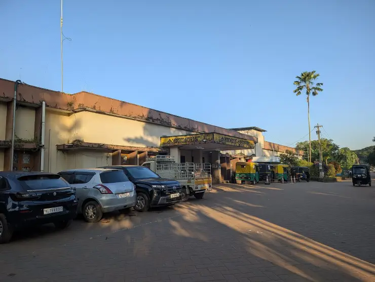
Bus station · Kanhangad
KSRTC Kanhangad Depot

Kanhangad's own state bus depot, run by an Assistant Transport Officer. Office of the Assistant Transport Officer, KSRTC Kanhangad, Kasaragod, Kerala 671531.

Directions Commission-freeView details
Railway station · Kanhangad
Kanhangad Railway Station (KZE)

Station code KZE, on the Shoranur-Mangalore line, opened in 1910 and the usual railhead for Bekal. Railway Station Road, Kanhangad, Kasaragod, Kerala.

Directions Commission-freeView details

Book with the place itself. India’s cyber-crime coordination centre warned in April 2025 that convincing copies of hotel and pilgrimage booking sites are being pushed through sponsored search and social ads, taking payment for rooms the property never hears about. Use the contact and source details on each profile to confirm the exact business and booking channel. A directory entry or map pin alone does not establish an operator’s identity or current availability. Roampedia takes no commission and does not collect booking payments. If a booking page reached you through an ad, check the address bar against the property’s own site before you pay. Fraud can be reported on cybercrime.gov.in or on 1930.

Options

More ways to explore Kanhangad

Kanhangad town provides the rail, bus and meal base. Hosdurg Fort and the neighbouring named beaches have separate approaches.

Across the whole of Kanhangad

Nearby guides

Top experiences around Kanhangad beach

4 separate places to consider after Kanhangad beach. Open each guide before deciding: their access, hours and return arrangements are independent.

heritageNithyanandashram

The hillside cave complex at Hosdurg where Bhagawan Nityananda cut meditation chambers by hand out of a single mass of laterite — 43 by the ashram’s own account — with the Nithyananda Temple built above them in 1963. Mobile phones are prohibited in the caves.

heritageHosdurg Fort

The surviving laterite fort at Hosdurg in Kanhangad is associated with the Ikkeri Nayakas and recognised by its rounded bastion and broad ramp; Nithyananda Ashram is a separate neighbouring institution.

heritageAnandashram

A tranquil spiritual retreat at Kanhangad founded in 1931 by Swami Ramdas (Papa) and Mother Krishnabai, set in quiet wooded grounds; open to visitors of every faith under its motto of “universal love and service”.

heritageNileshwar

The cultural capital of Kasaragod — a Theyyam and folk-arts town on the Nileshwaram backwaters, with kovilakams, kavus and a lively ritual-arts season.

Roampedia is commission-free — own or know a stay, eatery, guide or shop near Kanhangad beach? Submit public business details for review.

Add a nearby business
Before you go

Kanhangad beach — at a glance

TimingsA published daily gate timetable is not established for the public beach. Use daylight and follow current local restrictions or working-shore directions.

Parking: Use only the permitted space behind the public approach. Keep the fish-landing route, working vehicles and residential entrances clear; a marked visitor parking capacity is not verified.

Getting here

How to reach Kanhangad beach

  • ✈︎ By air Compare Kannur and Mangaluru airport arrivals against the complete onward road or rail journey. Neither airport is an immediate beach transfer, and no guessed driving time is supplied.
  • 🚆︎ By train Use Kanhangad railway station for the town rail arrival and arrange the final road connection. Verify the actual stopping train; an unverified beach-transfer distance is not supplied.
  • 🚗︎ By road Approach the Hosdurg coastal frontage from Kanhangad town. Confirm the beach arrival point rather than accepting a generic Kanhangad result for the fort or a shrine.
  • 🚌︎ By bus Kanhangad town is the bus base. Confirm the local connection and final approach for the intended shore, rather than assuming that every coast-bound service stops beside the beach.
Getting back

Return to the same agreed beach approach for the town transfer. Leave time for station access and the actual departure rather than calculating from a straight-line map distance.

Do

Things to do

  • Walk the open sand while leaving working areas clear.
  • Observe the relationship between the landing shore and the town behind it.
  • Photograph the sea and planting from public space.
  • Watch fishing activity respectfully when it is taking place.
  • Visit Hosdurg Fort as a separate nearby stop.
  • Return to Kanhangad town for a meal or onward rail connection.
Facilities

On site

  • Kanhangad town provides the wider restaurant, rail and bus services.
  • The coastal study describes a working landing shore with limited tourism amenities at the time of its survey.
  • Current public showers, changing rooms and an adapted toilet at the mapped approach are not verified.
Getting around Kanhangad beach
From the entrance
Kanhangad beach approach on Thulicheri–Nileshwar–Azhithala Road
Step-free access
The beach surface is loose sand and the final approach may not provide a continuous firm route. Establish the exact drop-off, surface and assistance arrangement before a visit that depends on step-free access. Do not infer accessibility from the width of the beach.

Checked 7 September 2026 against source 1source 2. Conditions change and surfaces vary with weather — if step-free access is essential, confirm with the site before you travel.

Eat nearby

What to eat in Kanhangad

Plan the main meal in Kanhangad town. The fish-landing identity of the shore does not guarantee a public seafood restaurant or a meal sold directly from a boat.

Explore food in Kanhangad →
01

A Kanhangad town lunch

Choose an established restaurant around the town transfer so the meal does not depend on beach-stall opening.

02

Fish at a restaurant

Order from the actual menu and availability; a working landing area is not an assured visitor dining service.

03

A meal before the train

Keep the restaurant and station transfer within the onward travel plan rather than returning to the shore near departure.

Nearby

What’s near Kanhangad beach

heritageNithyanandashram

The hillside cave complex at Hosdurg where Bhagawan Nityananda cut meditation chambers by hand out of a single mass of laterite — 43 by the ashram’s own account — with the Nithyananda Temple built above them in 1963. Mobile phones are prohibited in the caves.

heritageHosdurg Fort

The surviving laterite fort at Hosdurg in Kanhangad is associated with the Ikkeri Nayakas and recognised by its rounded bastion and broad ramp; Nithyananda Ashram is a separate neighbouring institution.

heritageAnandashram

A tranquil spiritual retreat at Kanhangad founded in 1931 by Swami Ramdas (Papa) and Mother Krishnabai, set in quiet wooded grounds; open to visitors of every faith under its motto of “universal love and service”.

heritageNileshwar

The cultural capital of Kasaragod — a Theyyam and folk-arts town on the Nileshwaram backwaters, with kovilakams, kavus and a lively ritual-arts season.

beachBekal Beach

The beach stretch below Bekal Fort, with a landscaped park — famously the setting of the song “Uyire” from the film Bombay.

heritageBekal Fort

Kerala’s largest fort (~40 acres), a keyhole-shaped laterite bastion jutting into the Arabian Sea, built around 1650 by the Keladi Nayakas; its observation tower once mounted cannons.

backwaterValiyaparamba Backwaters

An inhabited coastal backwater landscape in southern Kasaragod, with fishing shores, coconut groves and island settlements. The map uses the Valiyaparamba village jetty as a shoreline orientation base.

heritageChandragiri Fort

A 17th-century hilltop fort above the Chandragiri river built by the Keladi Nayakas, with sweeping views of the river mouth and the Arabian Sea — good at sunset.

mosqueMalik Deenar Mosque

The Malik Ibn Dinar Juma Masjid in Thalankara, Kasaragod — by tradition among the oldest mosques in India, linked to the earliest arrival of Islam on the Malabar coast.

mosqueNellikunnu Mosque

The Nellikunnu Muhyaddin Juma Masjid, a Sunni Friday mosque and dargah near the Kasaragod town beach that houses the tomb of Saint Thangal Uppapa; a local pilgrimage centre whose annual Nercha draws large crowds.

templeMadhur Temple

The Madhur Sree Madanantheshwara-Siddhivinayaka temple on the Madhuvahini river — a Shiva temple better known for its beloved “Bodajja” Ganapathi and a Tipu Sultan sword-mark on its well.

hill stationRanipuram

A grassland-and-shola hill topping out at 1,049 m, the “Ooty of Kerala”, with easy treks and montane forest on the Western Ghats edge.

4 detailed place guides in Kanhangad →

On the map

Where Kanhangad beach is

Good to know

Kanhangad beach — frequently asked

Is Kanhangad Beach the same attraction as Hosdurg Fort?

No. The beach is the coastal frontage; the fort is a separate historical destination inland in the Kanhangad area.

Why does this guide use Hosdurg for the beach?

The coastal tourism study identifies the Hosdurg stretch as a fish-landing shore in the Kanhangad setting. The name helps distinguish it from neighbouring beaches.

Is Ajanur Beach another name for this stop?

Do not assume so. The fisheries register identifies Ajanoor separately, and the final approach should be agreed for the specific beach intended.

Can I watch fishing activity?

When work is taking place, observe from outside the landing and gear-handling space. A daily demonstration or particular landing time is not promised.

Are there water sports or supervised swimming?

Neither is verified for this public approach. Plan a shore visit and do not infer safe water entry from a beach photograph.

Which station should I use?

Kanhangad railway station is the town rail base. Check your train’s stop and arrange the final road transfer to the specific beach approach.

Are the Azhithala breakwater and turtle centre here?

No. Those features belong to separately described coastal stretches farther south and should not be treated as facilities at Kanhangad Beach.

Can wheelchair users reach the water?

A continuous firm route across the sand is not established. Confirm the chosen approach surface and assistance needs before planning access to the shore.

Is the Laughing Gull record from Kanhangad Beach itself?

The Forest Department account places the January 2024 sighting at Chithari, northwest of Kanhangad. It is regional birdwatching context, not a sighting at the Hosdurg beach approach shown on this page. A rare historic record also gives no assurance that the species will be present on a later visit.

Is there a turtle-release programme at Hosdurg Beach?

The coastal-tourism study flags nesting sensitivity, but it does not establish a visitor release programme here. Its named Naithal conservation facility belongs to the separate Thaikadappuram–Azhithala stretch. Use an announced programme from the responsible organisation before planning any turtle-related visit.

Read before you go

Kanhangad beach guides, stories & itineraries

Stories & history of Kanhangad beach

Written about Kanhangad beach itself — its history, its legends and the arguments about them.

Around Kanhangad

These reads cover nearby destinations, each with its own arrival point and visit arrangements.

Kerala-wide guides & itineraries

Route-level itineraries and practical guides for the rest of Kerala.

See all 29 Kasaragod guides & stories →