A coastal taluk town 27 km north of Kollam, between the Arabian Sea and the Pallikkal river, in the old Onattukara country. It was part of Odanad — a kingdom that ran from the eleventh century until Travancore absorbed it in 1746 — and its name is traditionally traced to a Buddhist monk. Today it lives on coir, cashew and fishing.
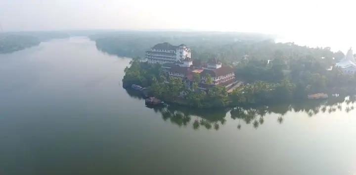
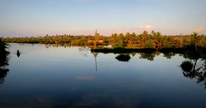
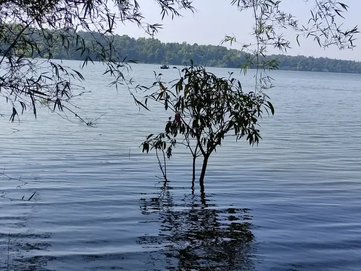
Karunagappally sits on the coastal strip of northern Kollam district, 27 kilometres up from Kollam town, with the sea on one side and the Pallikkal river running by. The taluk is bounded by Kayamkulam to the north, Kunnathur to the east, Kollam to the south and the Arabian Sea to the west — a low, sandy, densely settled belt of coconut, backwater and beach.
Its history is the history of a kingdom that most visitors have never heard of. This tract was part of Odanad, a feudal state of late medieval Kerala also known as Onattukara, Kayamkulam, Onad, Kallikoilon and Chirava Svaroopam. It was established in the eleventh century and lasted until 1746, when it was absorbed into Travancore during Marthanda Varma's northward expansion. At its dissolution Odanad covered what are now the taluks of Mavelikkara, Karthikappally and Chengannur in Alappuzha district, together with Karunagappally in Kollam.
That is a substantial polity, and it explains a good deal about this stretch of coast that otherwise looks arbitrary — why the Onattukara identity crosses a modern district boundary, why Kayamkulam and Karunagappally feel related, and why the temple at Kandiyoor far inland is described as the capital shrine of Odanad. The kingdom is gone; its shape is still legible in what people here consider their own region.
The Kayamkulam rajas left a specific mark on the town. Padayanarkulangara, now part of Karunagappally, was once their military station. The name itself carries it — padayani ground, the place of the army — and a garrison town for a kingdom that spent much of the eighteenth century resisting Travancore is a reasonable thing for this place to have been.
The town's own name has a stranger and more interesting derivation. Tradition holds that a Buddhist bhikshu named Karinagan lived here, and that the place takes its name from him together with its position on the bank of the Pallikkal river. Whatever the philology, the association is not out of place: this whole tract carried Buddhist settlement, and the Buddha now enshrined at Mavelikkara, one taluk north in the same old kingdom, is a survivor of it. Karunagappally is one of several Kerala place names in which a Buddhist past is preserved in a syllable and nowhere else.
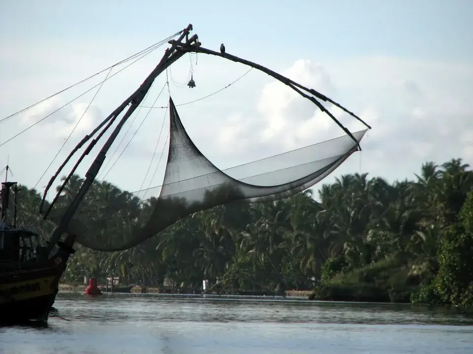
What the town does today is make things from what grows here. Coir is the traditional industry, as it is all along this coast. Cashew processing is the other major one — Kollam district is the centre of India's cashew trade and Karunagappally is part of that economy. And it is a fishing town, with the sea a few kilometres west and the backwater system behind.
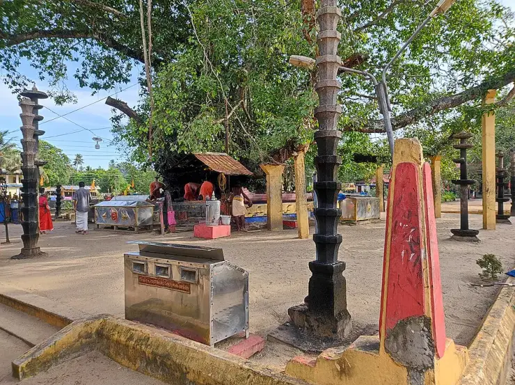
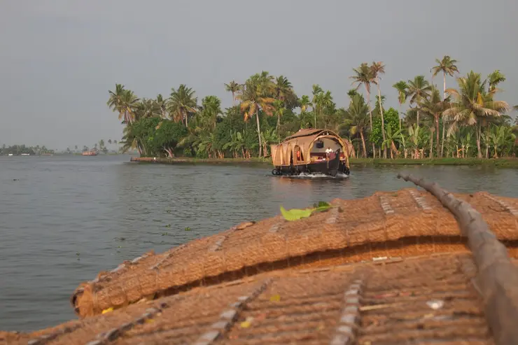
The area around it is unusually dense in unusual places, and we cover them separately: Oachira, the temple with no idol and no building over its deity; Kottankulangara, where men dress as women for the festival; Poruvazhy Peruviruthy Malanada, one of very few temples anywhere dedicated to Duryodhana; and Alumkadavu, where the Kerala houseboat as tourists know it was invented. That is four genuinely singular sites within a short radius of one ordinary-looking taluk town.
Karunagappally itself is the market, the junction and the base for all of that. It is not the attraction; it is the address you use to reach four of them.
Legend & myth
The first thing to hold carefully is the word Onattukara, because it does two different jobs and confusing them will scramble any history you read about this coast. Onattukara is one of the alternative names of Odanad, the medieval kingdom — alongside Kayamkulam, Onad, Kallikoilon and Chirava Svaroopam. It is also the name still used today for the regional tract covering roughly Mavelikkara, Karthikappally, Karunagappally and their surroundings, with its own agricultural identity and its own sesame. So a sentence saying Karunagappally "was previously known as Onattukara" is using the kingdom sense, and a sentence about Onattukara sesame is using the modern regional sense. Both are correct and they are not the same thing.
The second is the kingdom's own tangle of names, which is genuinely difficult and which we would rather flag than smooth over. Odanad, Onattukara, Onad, Kayamkulam, Kallikoilon and Chirava Svaroopam are all used for the same polity in different sources and periods — Kayamkulam being the one most readers will recognise, since the Kayamkulam rajas are the actors in the eighteenth-century wars. If you meet these as though they were separate kingdoms, they are not. The state was established in the eleventh century and ended in 1746, when it passed to Travancore.
The third is the date, and here we want to be careful for a reason specific to this district. 1746 is given for Odanad's absorption into Travancore. Elsewhere on this coast we have found the annexation dates genuinely unsettled — the Karappuram transfer at Cherthala is variously 1753, 1755 and 1762, and the Alappuzha district administration gives no year at all. We have not found comparable disagreement over 1746, but a reader should treat any single year for a Travancore annexation in this period as the date of one step in a process rather than the whole story.
The fourth is the etymology, which is charming and unprovable in equal measure. The tradition is that a Buddhist bhikshu named Karinagan lived here, and that the town's name comes from him plus its situation on the Pallikkal river. Place-name derivations of this kind are folk etymology in the technical sense: they may preserve a real memory or they may be a later explanation fitted to an existing sound. We repeat it because it is the tradition and because the Buddhist context is independently real for this tract — not because it is established linguistics.
The fifth is a caution about that Buddhist context, in both directions. It is true that this part of Kerala held Buddhist settlement, and the enshrined Buddha at Mavelikkara — one taluk north, in the same former kingdom — is physical evidence of it. It is not true that every Kerala place name containing a nasal syllable encodes a Buddhist origin, and a large amateur literature claims exactly that. Treat the Karinagan story as this town's own tradition rather than as a data point in a general theory.
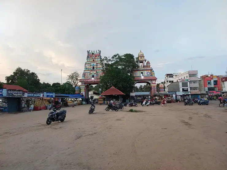
The sixth is scale and expectation. Karunagappally is a working coastal taluk town with a market, a highway and industry. The reasons to come to this part of the coast are almost all just outside it — Oachira, Kottankulangara, Malanada, Alumkadavu, the beaches — and a visitor who arrives expecting the town itself to be the destination has misread the map. That is not a criticism of the place; it is what a taluk headquarters is for.
The seventh is Padayanarkulangara, which is worth naming precisely because it is easy to pass. It is described as having been the military station of the Kayamkulam rajas and is now simply part of the town. There is no fort to see. What there is, is a name that records a garrison, in a kingdom that spent its last decades resisting the power that eventually absorbed it.
More about Karunagappally
History
Karunagappally is a taluk town on the coast of northern Kollam district, about 27 km north of Kollam city, situated on the Pallikkal river between the Arabian Sea and the backwaters. The taluk is bounded by Kayamkulam to the north, Kunnathur to the east, Kollam to the south and the sea to the west.
The area formed part of Odanad, a feudal state of late medieval Kerala also known as Onattukara, Onad, Kayamkulam, Kallikoilon and Chirava Svaroopam. Odanad was established in the eleventh century and was dissolved in 1746, when it became part of the Kingdom of Travancore under Marthanda Varma's northward expansion. At its dissolution the state comprised the present-day taluks of Mavelikkara, Karthikappally and Chengannur in Alappuzha district together with Karunagappally in Kollam district.
Padayanarkulangara, now part of the town, was formerly the military station of the Kayamkulam rajas.
The town's name is traditionally derived from a Buddhist bhikshu named Karinagan said to have lived here, combined with its situation on the bank of the Pallikkal river. The wider tract carried Buddhist settlement in the early medieval period, of which the enshrined Buddha image at Mavelikkara — in the same former kingdom — is a surviving example.
Karunagappally's economy rests on coir, cashew processing and fishing. Kollam district is the principal centre of India's cashew trade, and coir is the traditional manufacture along this coast. Within a short radius of the town lie Oachira, Kottankulangara, Poruvazhy Peruviruthy Malanada and Alumkadavu, where the Kerala tourist houseboat was developed from the traditional kettuvallam.
Why visit
As the base for an unusually concentrated set of singular places: Oachira, whose deity has no idol and no roof; Kottankulangara, where men dress as women for the festival; Malanada, one of very few Duryodhana temples anywhere; and Alumkadavu, where the tourist houseboat was invented.
To stand in what was Odanad — an eleventh-century kingdom that ran until 1746 and whose shape still defines what people here call Onattukara.
For a town whose name is traditionally traced to a Buddhist monk, in a tract where Buddhist Kerala left more traces than almost anywhere else in the state.
For the working coast — coir, cashew processing and fishing — in the heart of India's cashew district.
For Padayanarkulangara, now an ordinary part of town, once the military station of the Kayamkulam rajas.
For the quieter beaches and backwater edges of northern Kollam, away from the Alappuzha houseboat crowds.