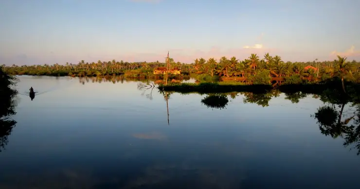
What to expect
Highlights
- Boat or canoe routes around Neendakara
- Village life, canals and lake/river scenery
- Good fit for homestays and local food stops
By most accounts Kerala’s largest fishing harbour, at the mouth of Ashtamudi Lake about 9 km from Kollam town, and where Indian fishing was mechanised; two bridges cross the confluence and the early-morning auction is the sight to catch.
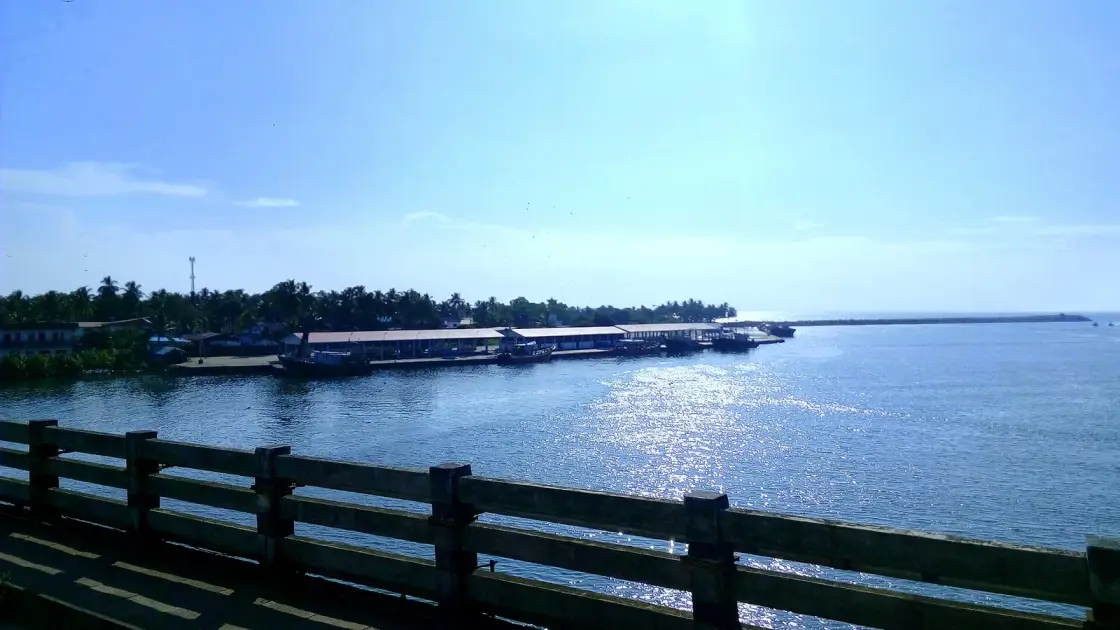
The mouth where Ashtamudi meets the sea, about 8 km north of Kollam, and by most accounts Kerala's largest fishing harbour — though the Fisheries Department's own list ranks nothing. It is also where Indian fishing was mechanised, by a Norwegian aid project agreed in 1952 that India had asked to be spent somewhere else, that failed at the thing it came to do, and that was then rescued by a shrimp boom nobody planned. It is a workplace, not a beauty spot, and it is worth seeing for exactly that reason.
Neendakara sits about 8 km north of Kollam town at the point where the Ashtamudi backwater discharges into the Arabian Sea. The name means, in Malayalam, a long bank. It is a twin: Neendakara on the north side, Sakthikulangara on the south, and the auction quay is on the Sakthikulangara side, which is inside Kollam city — one of the Corporation's six zonal headquarters — while Neendakara is a panchayat suburb. Two names, two administrations, one harbour mouth.
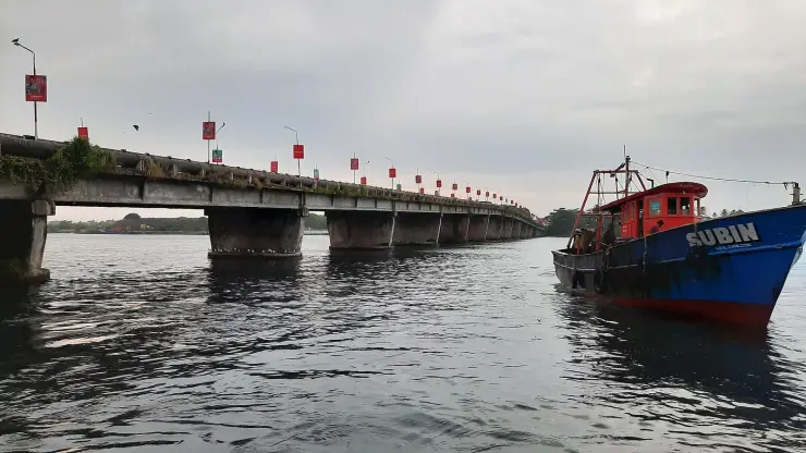
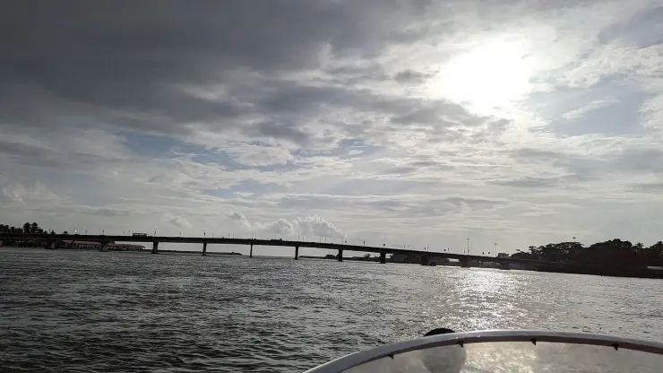
There are two bridges across that mouth, and this catches people out. The old one is a low two-lane structure standing on squat piers barely above the water, with a large pipeline running along its flank; it is officially the Setu Lakshmi Bayi Bridge, 422.5 m long, opened on 24 February 1972 by the PWD Minister T. K. Divakaran, and it replaced a ferry. A separate high-level crossing on tall piers stands alongside it carrying NH-66. We are not going to tell you which one you will drive over, because the position keeps changing; but the low bridge is the vantage point, because it puts you at water level looking straight down the channel.
The scale is genuinely large, and it used to be larger. Berthing capacity is given almost everywhere as over 500 boats at a time — a figure that is repeated by Kerala Tourism and traces back to Wikipedia with no year attached to it anywhere, so treat it as reported rather than measured. The dated figure is more startling: at the height of the shrimp boom the two villages had up to 2,000 motorboats working out of them, and close to 20,000 people employed on land in fishing-related work during the season.
Timing matters more than most pages admit. Early morning is the reliable hour for the auction, and it is when the quay is at its most intense — the unloading, the ice, the sorting by species and size, the shouted bidding, the loading onto trucks that will have the fish inland before the day is hot. But single-day trawlers, which is what CMFRI describes for this fleet, leave early and come back in the evening after three or four hauls, and multi-day boats land on their own schedule. Dawn is a good bet; it is not the only one.
There is also a season when there is nothing to see, and it is worth knowing about rather than being caught by. During Kerala's monsoon trawl ban — 52 days now, reduced from an original 60, and in 2024 running from 9 June to 31 July — the mechanised fleet is tied up and the quay stands empty. Traditional inboard vessels are exempt and free rations are issued to the fishworkers. The best photographs of this harbour that exist anywhere were taken in exactly that state, in September 2020, and they are honest about it.
Behave like a visitor to a workplace, because that is what you are. Keep out of the way of the men carrying baskets, stay out of the auction, ask before photographing faces, and accept that nobody has time to explain anything at half past five in the morning. Come back at eight and people will talk. And do not come expecting the chakara — Kerala Tourism's page for this harbour mentions it, but the mud-bank literature places the phenomenon between Kannur and Kollam with only the Alappuzha mud bank forming every year, and Neendakara is at the southern edge of that belt.
Neendakara is celebrated as the birthplace of mechanised fishing in India, and the celebration is missing the two most interesting things about it. India did not ask for this project here. And the thing it came to do failed.
The Norwegian Storting created the funding body in June 1952 — Fondet for hjelp til underutviklede land, popularly Indiafondet, first grant 10 million kroner. In October 1952 a Norwegian delegation went to India to choose a project, and Espen Storli's account of it is blunt: the Norwegian representatives had little knowledge of India before leaving, and only general ideas about what kind of project they would support. India's own fisheries plan had three prongs, and what India wanted help with was the deep-sea station near Bombay, where the country lacked qualified personnel. The Norwegian delegation refused, and instead preferred to focus on the beach fisheries. Two poor canoe-fishing villages on the Ashtamudi bar were chosen — legible to Norwegians, who understood beach fisheries at home. The tripartite agreement is dated 1952 and the project document was signed in New Delhi in January 1953.
It was also not simply Norway's money. When Norway pulled out in 1972 it had contributed around 122 million kroner. In the same period, Indian authorities had contributed around 120 million. India paid roughly half of Norway's aid project. Nor was development the only stated objective: Indiafondet's three declared aims were contributing to self-help in India, strengthening the Western position against Communist expansion in Asia, and building domestic Norwegian support for the government's foreign policy. Kerala in 1952 was the obvious place to demonstrate that social democracy outperformed communism.
Then the fishing part failed, and this is the sentence that is missing from every page about Neendakara. Sixty new boats were built at Kollam. Motors fitted to canoes proved more expensive, demanded much more maintenance, and were less seaworthy than the traditional canoes in the shallow and rough waters close to the coast. The fish were inshore anyway, so the extra speed bought nothing. A new flat-bottomed motorboat was designed at a purpose-built yard, and the new boat-type did not convince the local fishermen either. The cooperative marketing model, imported from 1930s Norway, did not work as well in the context of Kerala. Storli's verdict is one line: after intensive experiments, the project gave up trying to modernize the beach fisheries in 1960.
What rescued it was luck, and it was somebody else's luck. From 1960 the project switched from beach-launched craft to vessels working out of a harbour — which is the model you are looking at today — and those boats could also be used for shrimp. International demand for shrimp was enormous and the Kerala grounds turned out to be very rich in it. Local merchants went into the fishing industry, buying vessels and hiring crews, and for those who had capital to invest, fortunes could be made. The Kerala Museum's account puts the same thing more plainly: it shifted the orientation of the project to the export industry, instead of focusing on the primary objective.
The reckoning is not ours to soften. Storli: the project was criticized for not helping the poor fishermen, but instead creating wealth for local merchants, and although it led to economic development, it also created larger inequality in the communities. The FAO's Kerala case study adds the ecological half: in a little over a decade, a sharp decline in fish harvests followed as a result of ecosystem damages caused by unregulated and excessive trawling for shrimp. One caution about sources, because it matters: there is no NORAD retrospective evaluation of any of this. NORAD did not exist when the project started — the India Foundation was folded into it in 1962 — and the candid literature is academic, chiefly Klausen in the Journal of Peace Research in 1964, Kurien in Economic and Political Weekly in 1985, and Storli's 2022 case study. Standing on the bridge you can check three things for yourself: the hospital the project founded is still the Neendakara Taluk Hospital, a water main still runs along the flank of the old bridge, and the auction hall in front of you is the harbour-based model that only began in 1960, after the beach-fishery project had been abandoned.
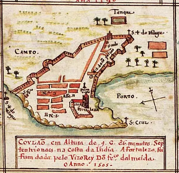
The bar itself is the oldest thing here. Portuguese traders entering Quilon in the early sixteenth century came in over the Neendakara bar, at about the spot where the bridge now stands. In the modern era Neendakara was classified as an intermediate port carrying cargo as well as fish — raw cashew and ilmenite, which tied it to Kollam's cashew industry and to the mineral-sands belt at Chavara immediately north.
The Indo-Norwegian Project was agreed in 1952 and its project document signed in New Delhi in January 1953, with a supplementary agreement specific to Travancore-Cochin later that year. It began at Neendakara, Sakthikulangara and Puthenthura, over a project area of about 25 sq km holding some 12,000 people and around 400 fishing vessels. Its first director was D. H. Lund; his Indian counterpart official was P. T. Koshy. Its four stated goals were to help fishermen earn more, to distribute fresh fish efficiently and improve fish products, to better the health and sanitary conditions of the fishing communities, and to raise the overall quality of life in the project area. Two of the four are public health.
The centre of gravity moved north early. The agreement to expand to Kochi was signed in April 1956, and published accounts of what happened to the Neendakara establishment then disagree sharply — Wikipedia says the administrative centre moved to Ernakulam in 1961; the Kerala Museum's interview-based account has the Kollam buildings handed to the state government at the move; and the same account records that in 1972 the project, with its headquarters in Ernakulam, was completely taken over by the Government of India, with the management of the Neendakara operation transferred to the Kerala State Department of Fisheries. No source reconciles those dates, so this page does not print one.
Trawling was tested here before it was adopted anywhere. CMFRI records that experimental trawling with small mechanised boats was carried out even during 1954–59 by the Indo-Norwegian Project in the shallow waters along the Kerala coast, and documents the gear evolution that followed — a tickler chain attached to the beam trawl to lift more prawns, two-seam trawls for shrimp and four-seam for fish. The research vessel Varuna, converted from one of three Norwegian schooners that arrived in January 1955, covered nearly 135,000 nautical miles and took some 3,000 oceanographical stations over four years.
The road settled what Neendakara would become. The Setu Lakshmi Bayi Bridge — 422.5 m, inaugurated 24 February 1972 by the PWD Minister T. K. Divakaran, and named for the Travancore regent Maharani Sethu Lakshmi Bayi — carried what is now NH-66 across the mouth on low piers, replaced the ferry, and drew a permanent ceiling over the channel. Kerala port-industry sources say the port could have been developed into a well equipped all-weather port well inside the Ashtamudi lake but for the bridge that came across it, and that this forestalled the development of Neendakara port into a modern minor port. That is an attributed reading rather than a government finding — the Kerala Maritime Board's own Neendakara page returns a 404.
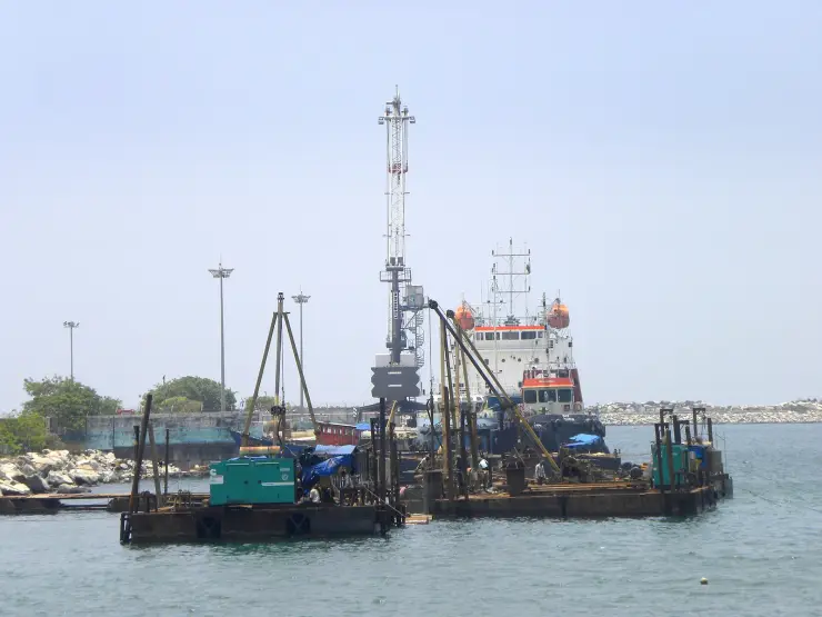
What was built instead was fishing infrastructure: two breakwaters of 680 m and 380 m, quays of 425 m at Neendakara and 407 m at Sakthikulangara, a natural depth of about 12 feet, auction halls, ice plants, parking and loading aprons — sanctioned as an estuary-type fishing harbour, reportedly in 1992 at Rs 622 lakh, though that figure comes from Wikipedia and could not be confirmed at the Fisheries Department. The tsunami of 26 December 2004 struck here around half past twelve; the measured runup in Kollam district was 3.4 m, and at Sakthikulangara the St John Britto colony lost 36 houses completely and 13 in part. CMFRI's landings figures record the year the fishery lost: for the tsunami-affected Kerala belt in January to March, multiday trawl-net landings fell from 19,363 tonnes in 2004 to 5,771 in 2005.
A working fishing harbour at full tilt — the unloading, the ice, the sorting and the shouted wholesale auction — with no visitor provision, no ticket and nothing staged for anybody. Early morning is the reliable hour.
It is where mechanised fishing in India began, and the real story is far better than the plaque version: India asked for the money to be spent near Bombay, Norway refused, the beach-fishery experiment failed and was abandoned in 1960, and a shrimp boom nobody planned rescued it.
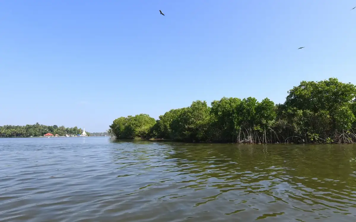
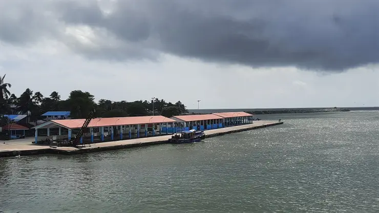
The confluence itself, where Ashtamudi's eight arms finally reach the sea over the bar, seen from the low bridge at water level with the fleet moving through the gap.
Two bridges in one frame: the low 1972 Setu Lakshmi Bayi bridge with a water main along its flank, and the high-level NH-66 crossing on tall piers beside it. One of them is why this stopped being a cargo port.
The Norwegians left more than boats. The hospital they founded is still the Neendakara Taluk Hospital, and the water main they laid ran from Sasthamcotta — Kerala's largest freshwater lake, 25 km inland, and a place you can visit in the same trip.
It is eight kilometres from Kollam town, costs nothing, and pairs instructively with Paravur Pozhikkara to the south — industrial-scale mechanised fishing at one end of the same coast, country craft and cast nets at the other.
Road km to Kollam; ghat roads and traffic vary — allow extra.
October to March is best for comfortable boat trips; monsoon is greener but weather can disrupt plans.
Live forecast loads in your browser.
Sunset is in about 3 hours.
Sun and moon are calculated for this location and shown in IST. Photography windows are the hour around sunrise and sunset; the sunset bearing is degrees clockwise from true north. Moon phase is accurate to about half a day.
Browse listed stays, food, activities, sights, shops and rentals around Neendakara. Check each listing’s locality and contact the business directly for current arrangements.
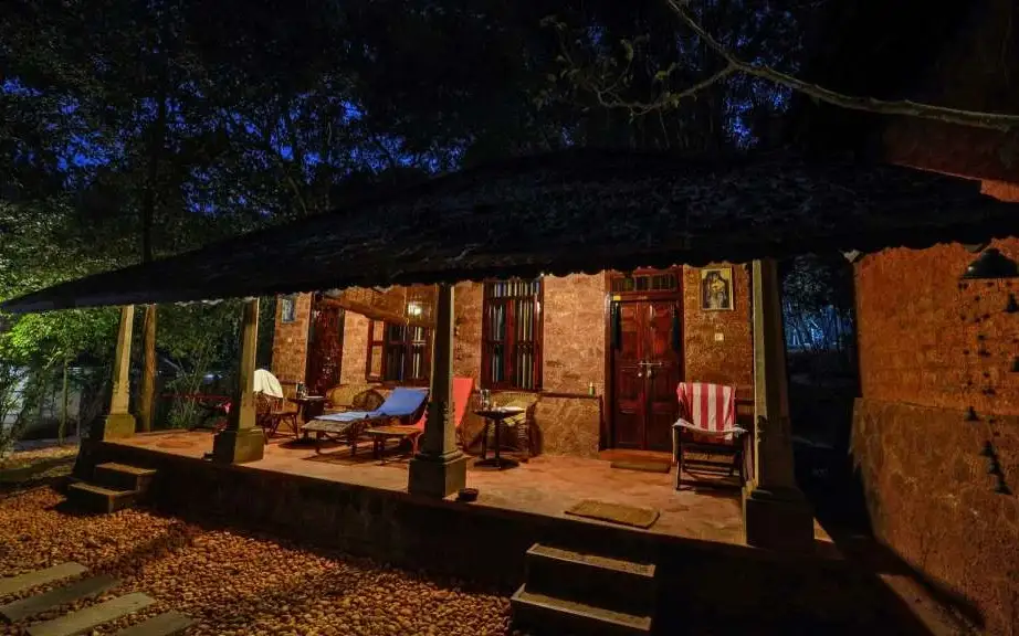
Kerala Tourism-classified Ayurveda centre on the banks of Ashtamudi Lake at Ashtamudi, on the backwater edge of Kollam. It runs residential Ayurveda and Panchakarma programmes in rustic laterite cottages beside the water, focused on treatment stays rather than casual spa visits.
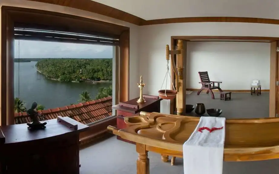
Kerala Tourism Green Leaf-classified Ayurveda and spa centre at The Leela Ashtamudi (Raviz), Thevally, overlooking Ashtamudi Lake in Kollam. Its therapy rooms offer classical Kerala Ayurveda treatments and rejuvenation packages with backwater views, run to the Green Leaf standard rather than as a generic hotel spa.
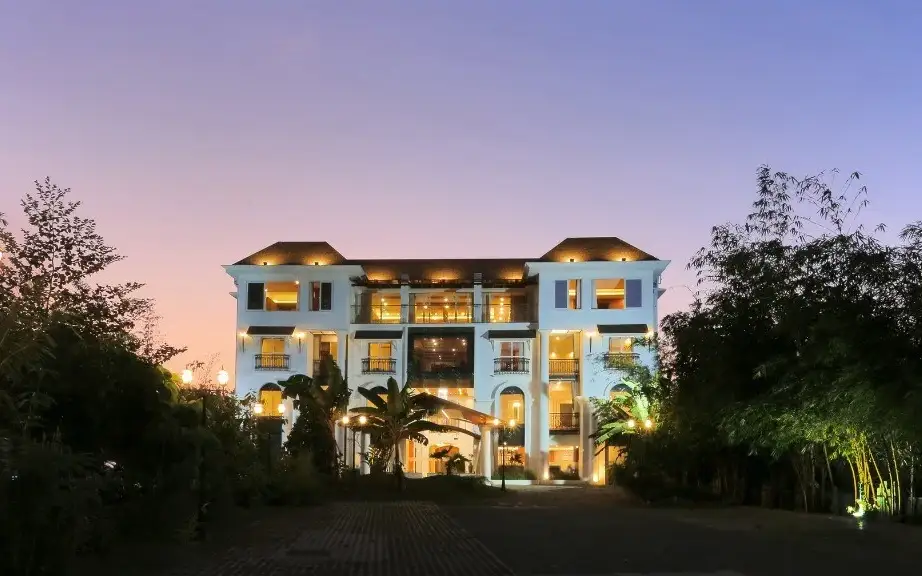
Kerala Tourism Ayur Diamond-classified Ayurveda resort at Thangassery near the Kollam lighthouse, on the seafront edge of Kollam town. It offers doctor-supervised classical Ayurveda and Panchakarma treatments alongside resort rooms, run by the D-Fort group as a dedicated wellness retreat.
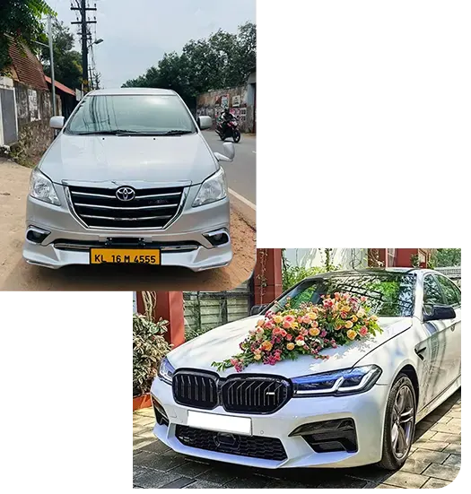
Kollam Taxi Services arranges city, airport and district journeys. Request a total covering stops, waiting and return when combining lake-side stays with city sights.
DTPC Kollam online-ticketing source for Sambranikodi boating in the Ashtamudi backwaters. Book via DTPC · Sambranikodi, Ashtamudi, DTPC Kollam.
DTPC Kollam is the official first check for Ashtamudi backwater cruise packages, houseboat options, current tariffs and Kollam lake logistics. Check DTPC tariffs · Ashtamudi, DTPC Kollam, Houseboats.
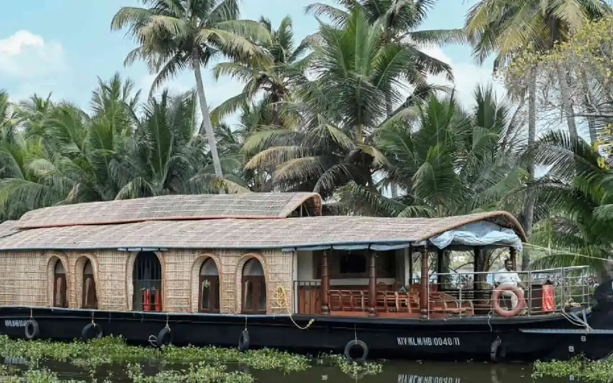
Kollam Dream Houseboat offers houseboat and shikara trips from Kollam, with a published departure point on Link Road near the KSRTC bus stand. Its programme includes short backwater outings, overnight stays and longer journeys towards Alappuzha, Kumarakom and Kochi.
Book with the place itself. India’s cyber-crime coordination centre warned in April 2025 that convincing copies of hotel and pilgrimage booking sites are being pushed through sponsored search and social ads, taking payment for rooms the property never hears about. Use the contact and source details on each profile to confirm the exact business and booking channel. A directory entry or map pin alone does not establish an operator’s identity or current availability. Roampedia takes no commission and does not collect booking payments. If a booking page reached you through an ad, check the address bar against the property’s own site before you pay. Fraud can be reported on cybercrime.gov.in or on 1930.
Find food, accommodation and activities across Kollam town. Browse the guides for places to eat, stay and explore along your route.
13 more places around Kollam town. Open a guide to plan the visit and onward journey.
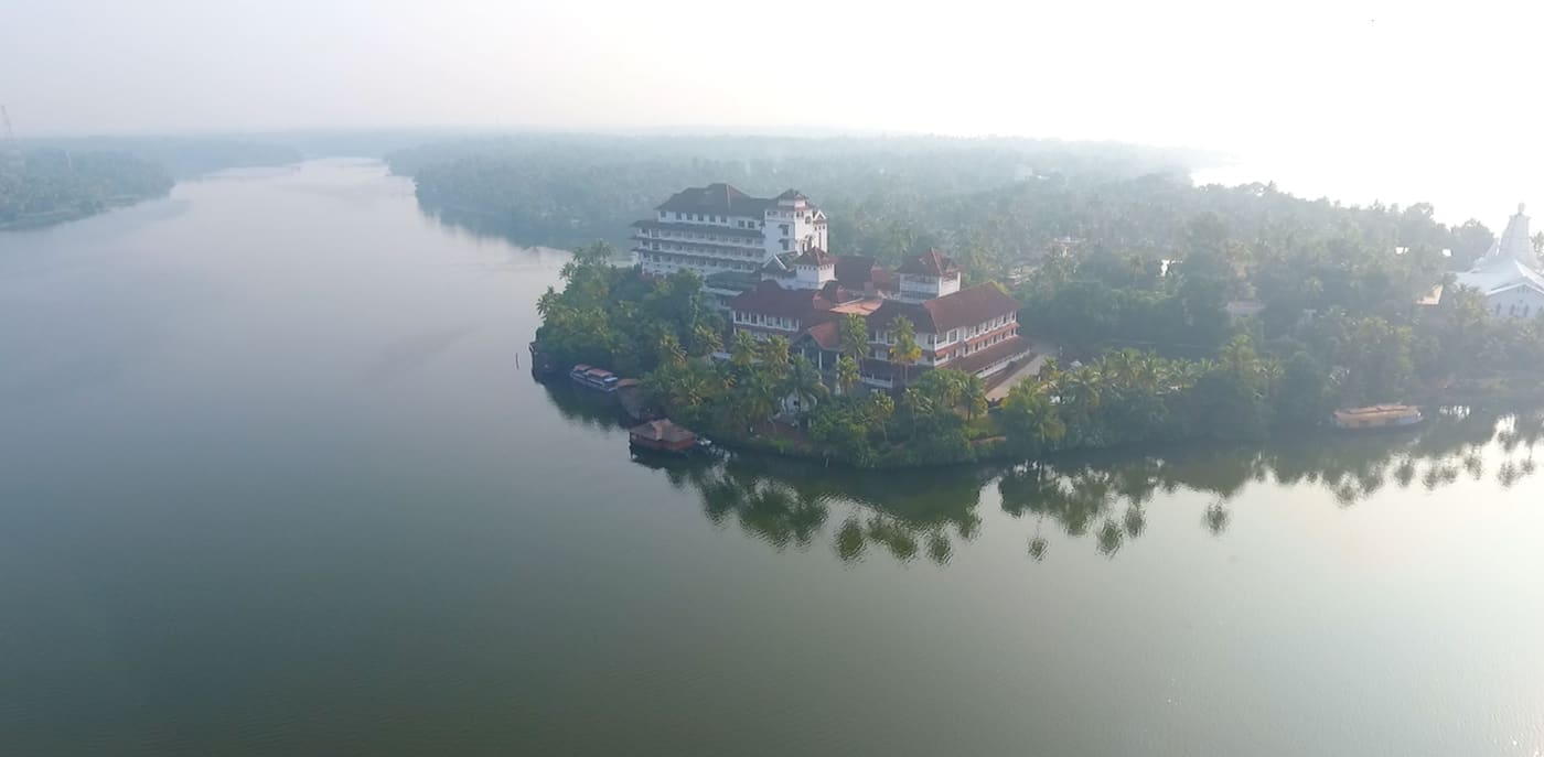
8.3 km · 12 min drive
Large palm-fringed backwater system and houseboat base around Kollam.
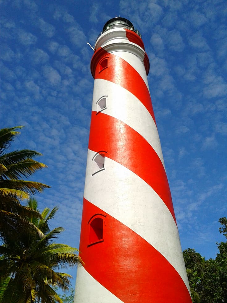
8.4 km · 12 min drive
Thangassery Lighthouse raises Kollam’s sea view above a historic coastal neighbourhood. The red-and-white tower is a working navigation landmark with a separate visitor session.
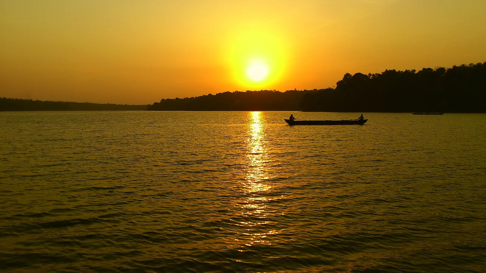
Kerala’s largest freshwater lake, a Ramsar wetland ringed by hills and a Sastha temple, north of Kollam.
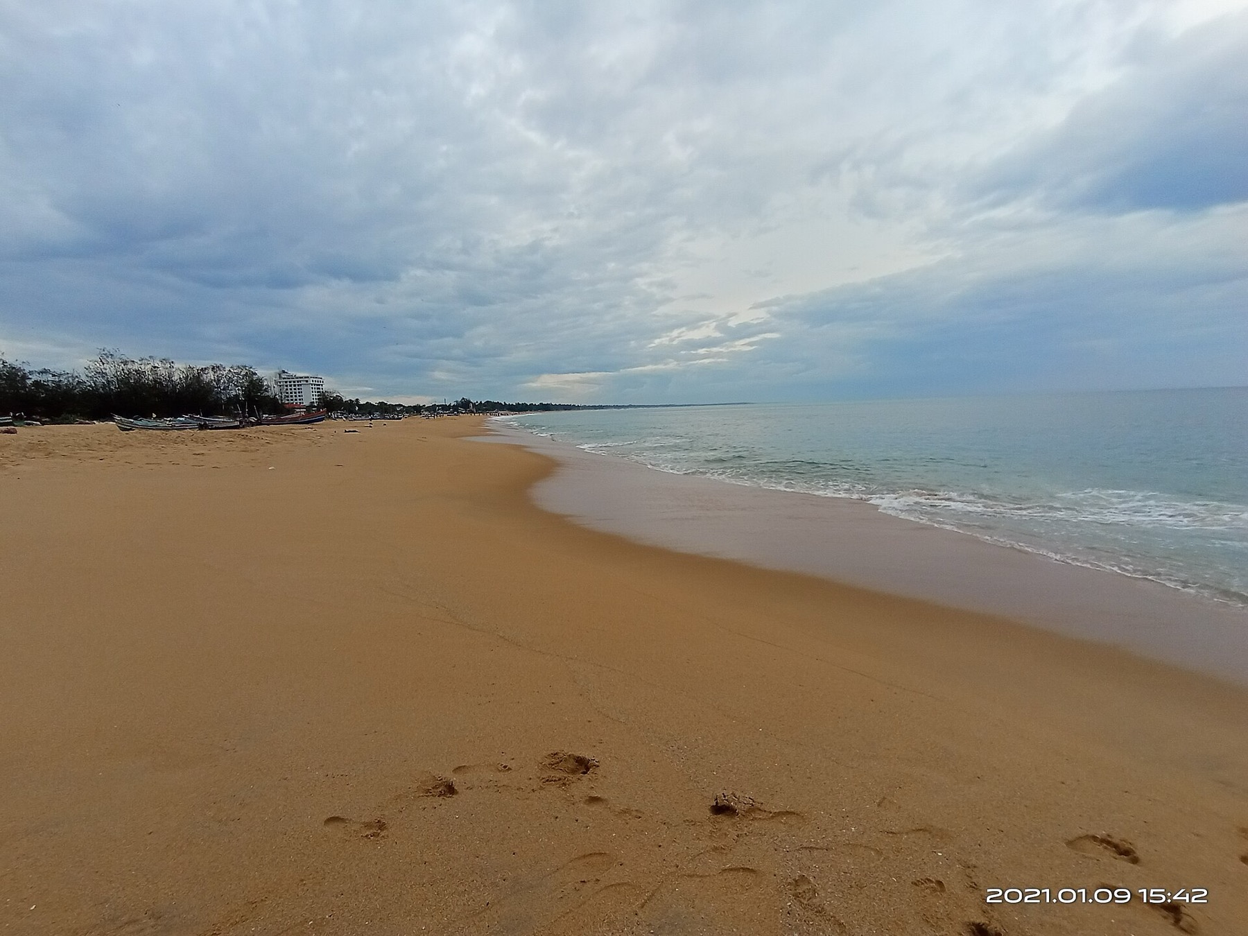
The city’s Mahatma Gandhi beach and park on the Arabian Sea, a popular evening spot near Kollam town.
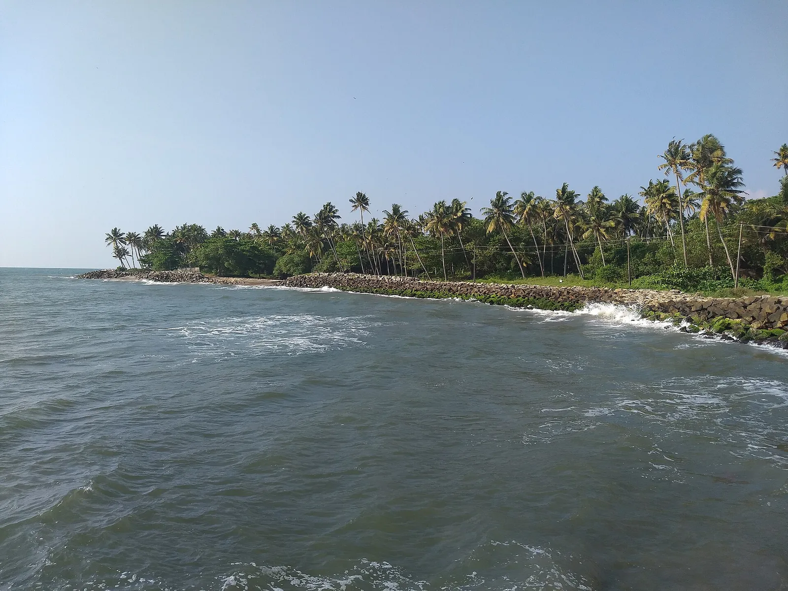
7.1 km · 10 min drive
A quiet, curved bay beach west of Kollam town, calmer than the city beach and good for a relaxed evening.
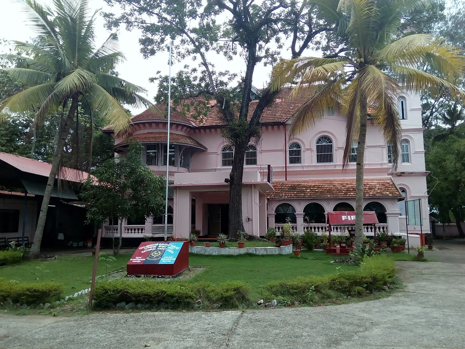
10.1 km · 11 min drive
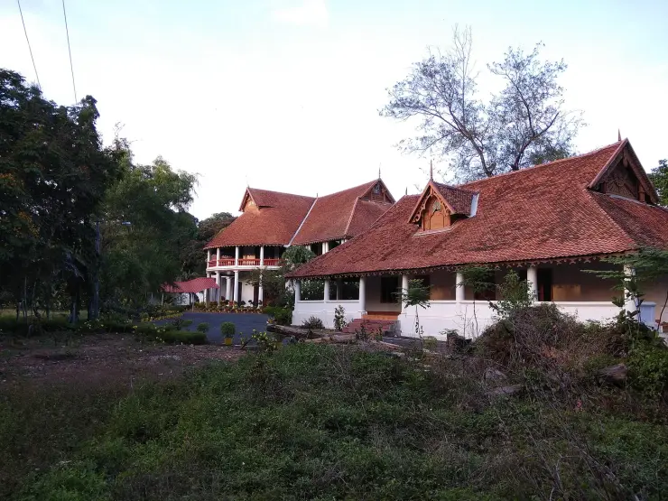
A Travancore royal residence on the Ashtamudi shore in Kollam, built to be arrived at by boat and now a working NCC establishment — viewed from outside or from the water.
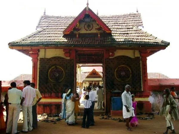
6.2 km · straight line
Anandavalleeswaram is an active Shiva temple in Kollam, with an Anandavally shrine and a ten-day annual festival in March or April. Ritual processions and cultural performances bring another dimension to the temple visit. Follow its worship session, admission and photography rules.
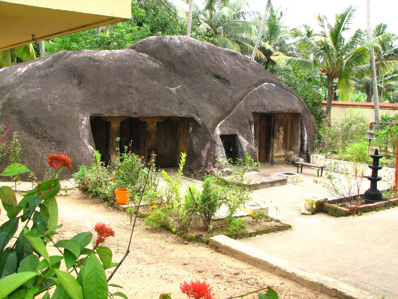
A monolithic rock-cut cave temple near Anchal/Kadakkal in south Kollam, carved with a Shiva shrine.
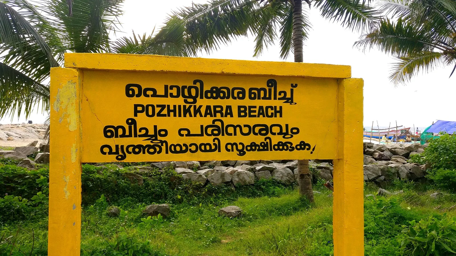
The estuary and beach at Paravur south-east of Kollam, where the Paravur backwaters meet the sea across a sandbar — a quiet spot known for its regulator bridge, the TS Canal and calm backwater-and-sea scenery.
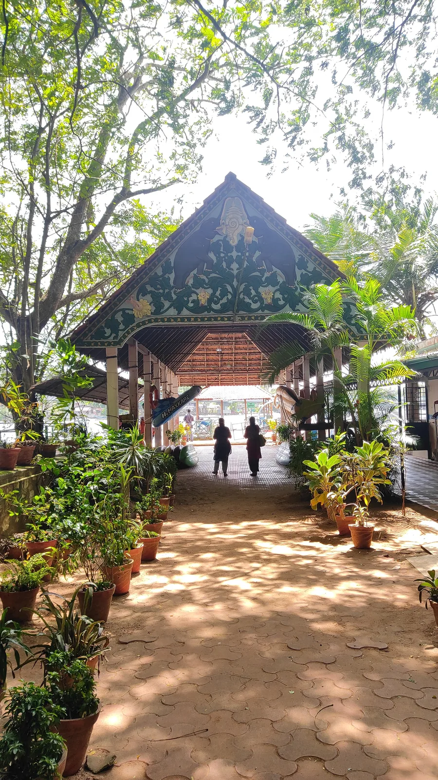
6.9 km · straight line
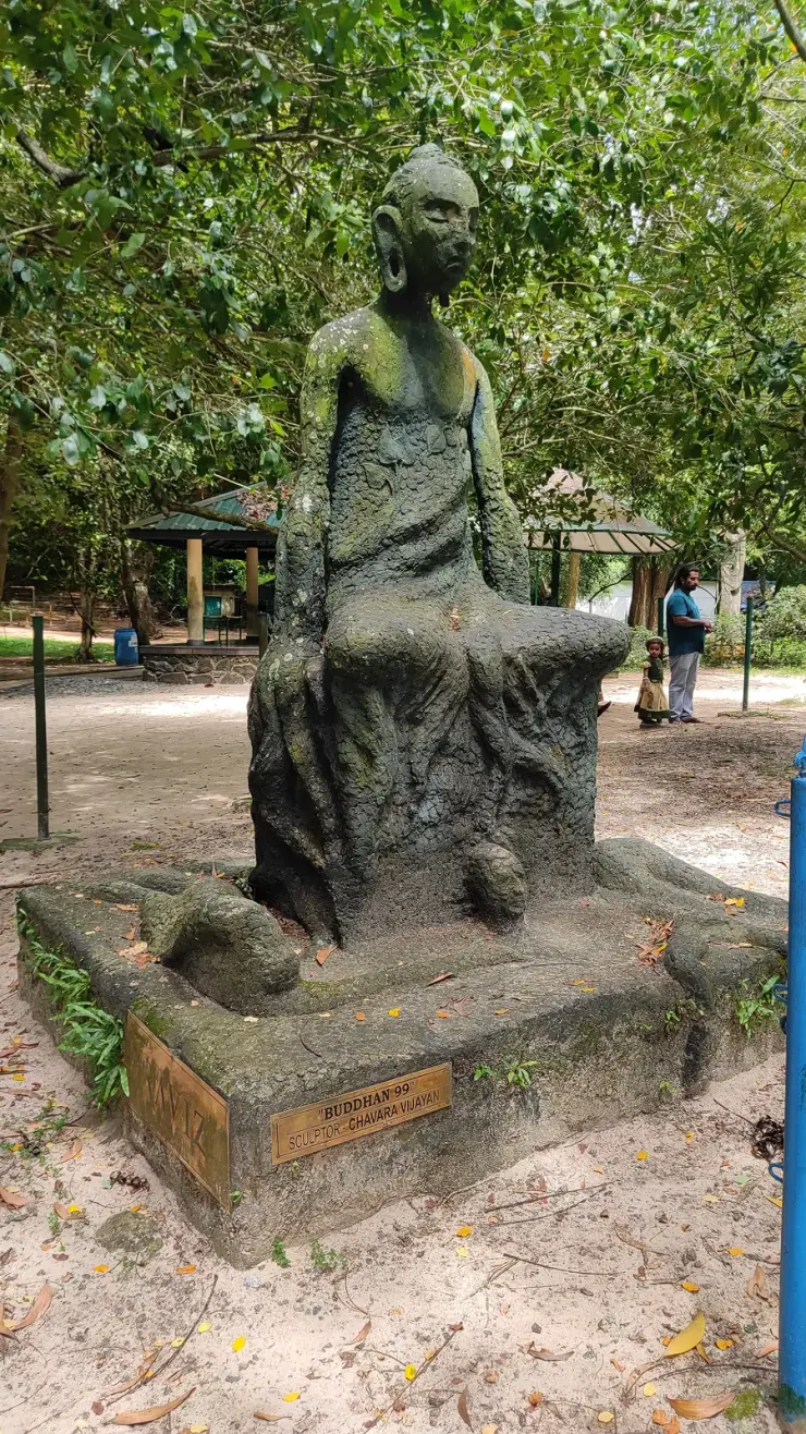
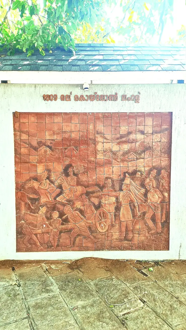
Forty-eight acres of municipal park on the Ashtamudi shore in the middle of Kollam, run by the DTPC — boating and kayaking off a painted jetty, ziplines and rope courses, a heritage walkway of terracotta reliefs, contemporary sculpture left behind by a 2012 festival, and a mangrove wetland with a state biodiversity heritage tag.
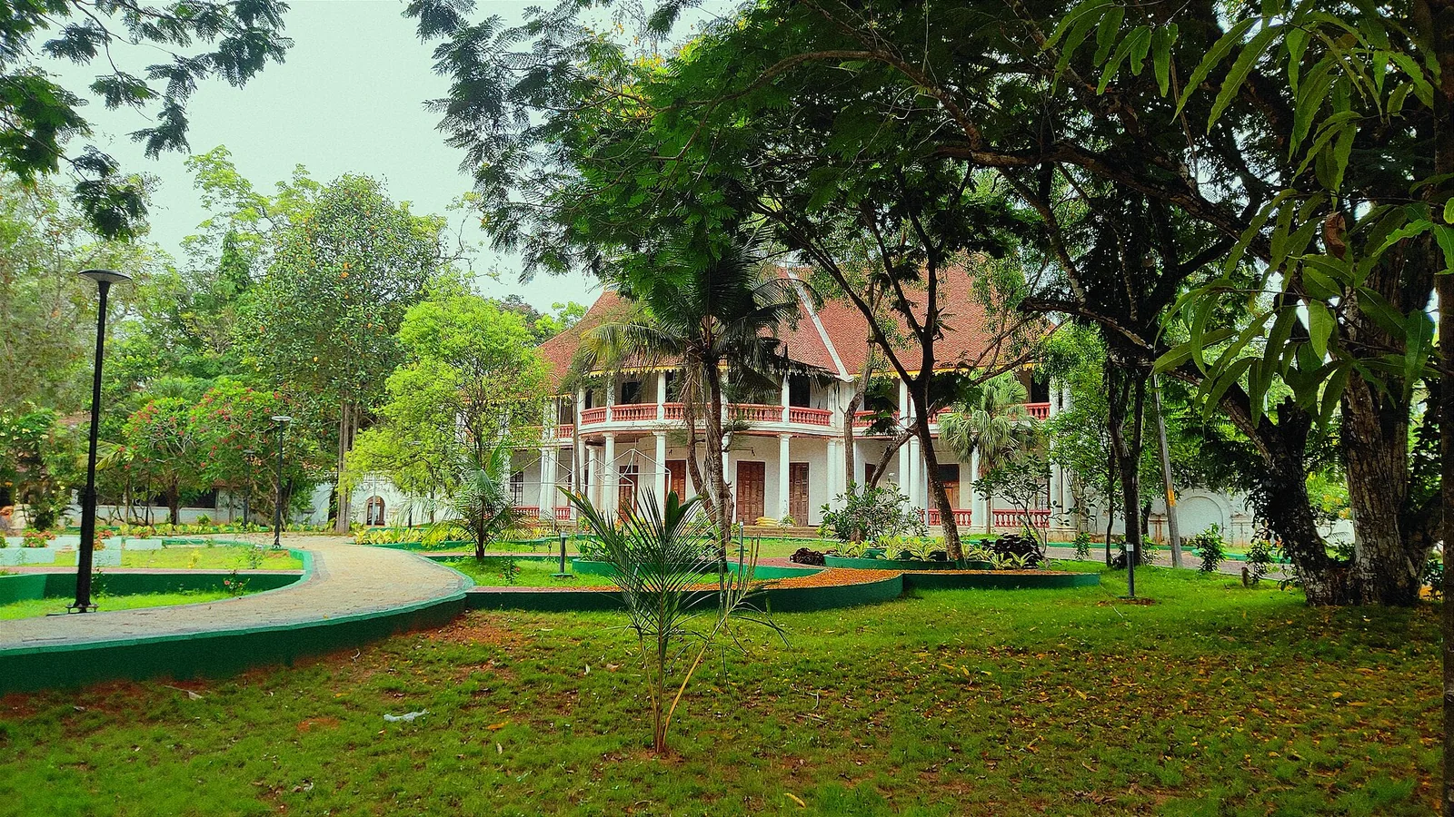
6.9 km · straight line
The former British Residency at Asramam survives as a government guest house beside Kollam’s backwater landscape. Its architecture is the attraction, with access governed by its working use.
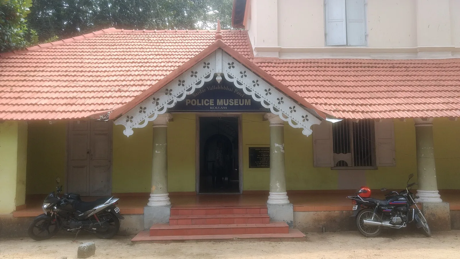
8.4 km · straight line
Kollam’s Sardar Vallabhbhai Patel Police Museum introduces the history of policing through arms, equipment and investigation displays. It offers an indoor history stop during a city outing. Check the museum’s session before choosing your day, and leave time to read the displays.
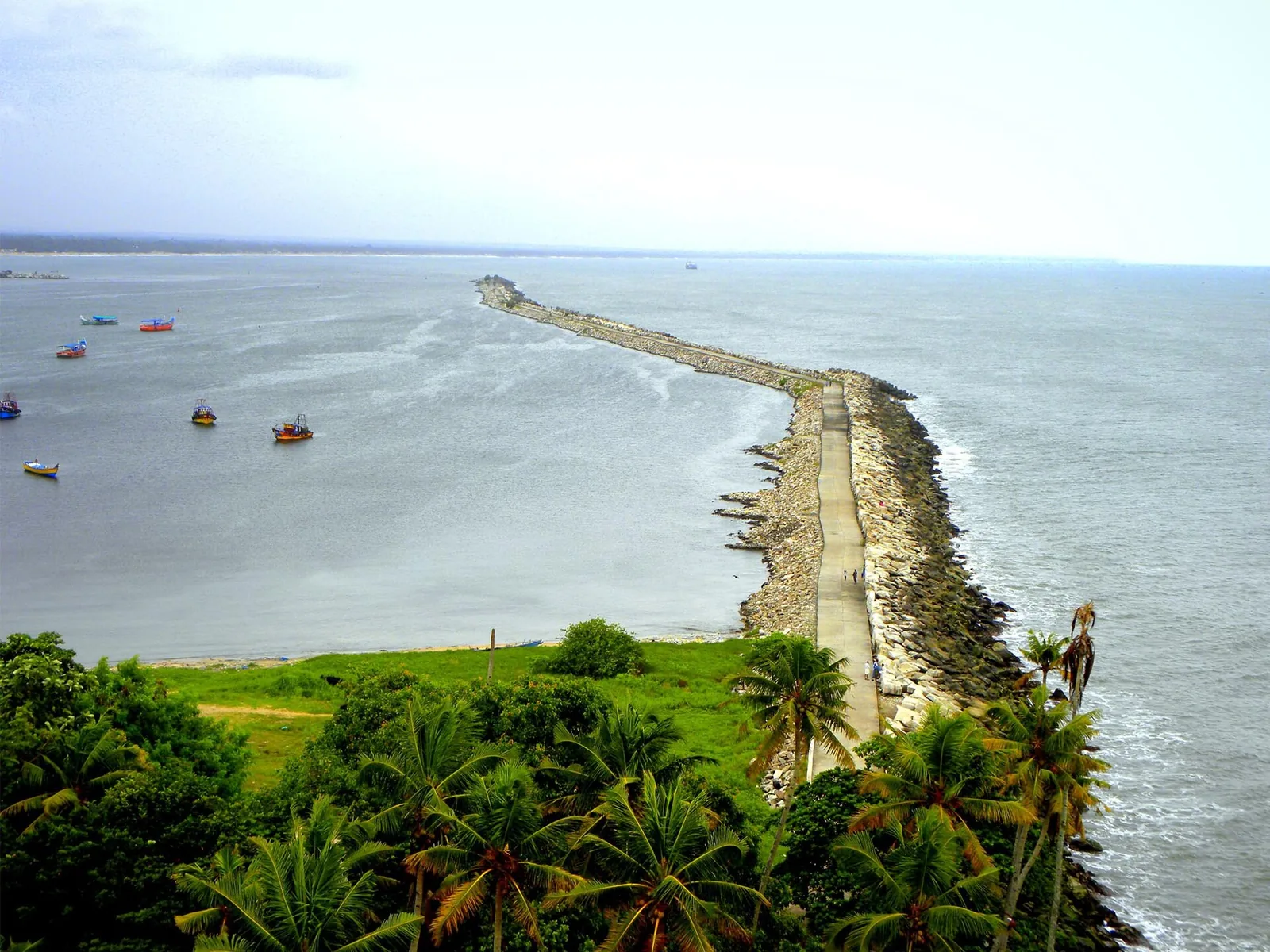
8.3 km · straight line
The working wharf and breakwater at Thangassery, conventionally founded in AD 825 — the event the Malayalam calendar counts from. A short cargo quay and a long public breakwater walk, above a seabed that has produced Tang and Song coins and Lower Palaeolithic tools.
Roampedia is commission-free — own or know a stay, eatery, guide or shop near Neendakara? Submit public business details for review.
Add a nearby businessEntry: Free to visit the harbour area and bridge.
About 8 km north of Kollam town on NH-66 at the mouth of Ashtamudi Lake; frequent buses and trains to Kollam.
If you are travelling by bus or ferry, check the return service with the operator before setting out. Leave time to reach the stop or jetty after your visit.
Ask at the bus stand for the time of the last service back, not the next one. If you miss it, an auto or app cab is the fallback — agree the fare before you get in.
If you need step-free access, contact the site before travelling. Ask about a level entrance, steps along the route, the nearest drop-off point, seating and accessible toilets.
Charge cap and free-transaction limits: Reserve Bank of India, ATM FAQ updated 4 July 2025; checked 4 October 2026.
These services are listed within about 1.2 km of Neendakara. Walking distances follow mapped routes; access and opening hours can change. Other services may be closer but are not included here.
Published emergency and visitor-assistance contacts. For an immediate emergency, call 112. Shared Kerala contact sources checked 4 October 2026; publication does not establish a tested live response.
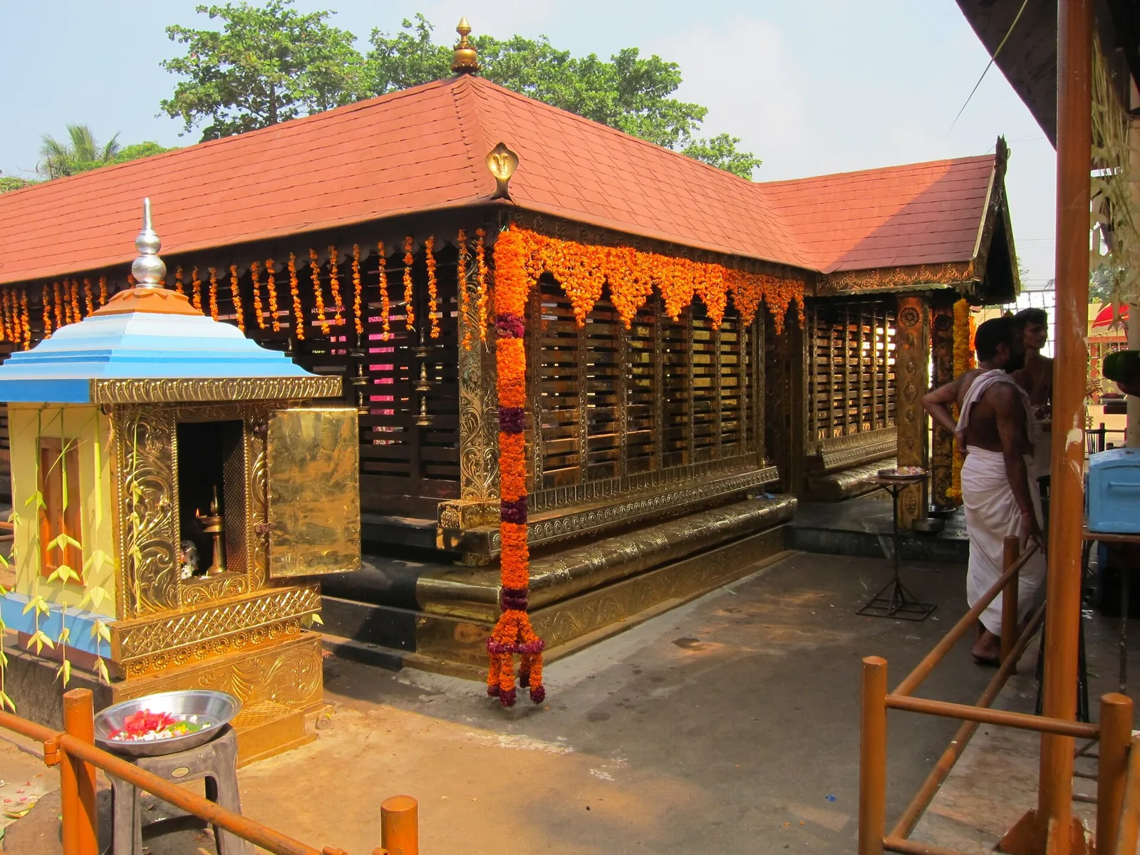
A Devi temple at Chavara north of Kollam, known across Kerala for Chamayavilakku — the two nights in Meenam when men and boys dress in saris and carry lamps in procession to the goddess, re-enacting the cowherd boys of its founding legend.
4.7 km · straight lineAnandavalleeswaram is an active Shiva temple in Kollam, with an Anandavally shrine and a ten-day annual festival in March or April. Ritual processions and cultural performances bring another dimension to the temple visit. Follow its worship session, admission and photography rules.
6.2 km · straight lineForty-eight acres of municipal park on the Ashtamudi shore in the middle of Kollam, run by the DTPC — boating and kayaking off a painted jetty, ziplines and rope courses, a heritage walkway of terracotta reliefs, contemporary sculpture left behind by a 2012 festival, and a mangrove wetland with a state biodiversity heritage tag.
6.9 km · straight lineThe former British Residency at Asramam survives as a government guest house beside Kollam’s backwater landscape. Its architecture is the attraction, with access governed by its working use.
6.9 km · straight lineA quiet, curved bay beach west of Kollam town, calmer than the city beach and good for a relaxed evening.
7.1 km · 10 min driveThe working wharf and breakwater at Thangassery, conventionally founded in AD 825 — the event the Malayalam calendar counts from. A short cargo quay and a long public breakwater walk, above a seabed that has produced Tang and Song coins and Lower Palaeolithic tools.
8.3 km · straight lineLarge palm-fringed backwater system and houseboat base around Kollam.
8.3 km · 12 min driveThangassery Lighthouse raises Kollam’s sea view above a historic coastal neighbourhood. The red-and-white tower is a working navigation landmark with a separate visitor session.
8.4 km · 12 min driveKollam’s Sardar Vallabhbhai Patel Police Museum introduces the history of policing through arms, equipment and investigation displays. It offers an indoor history stop during a city outing. Check the museum’s session before choosing your day, and leave time to read the displays.
8.4 km · straight line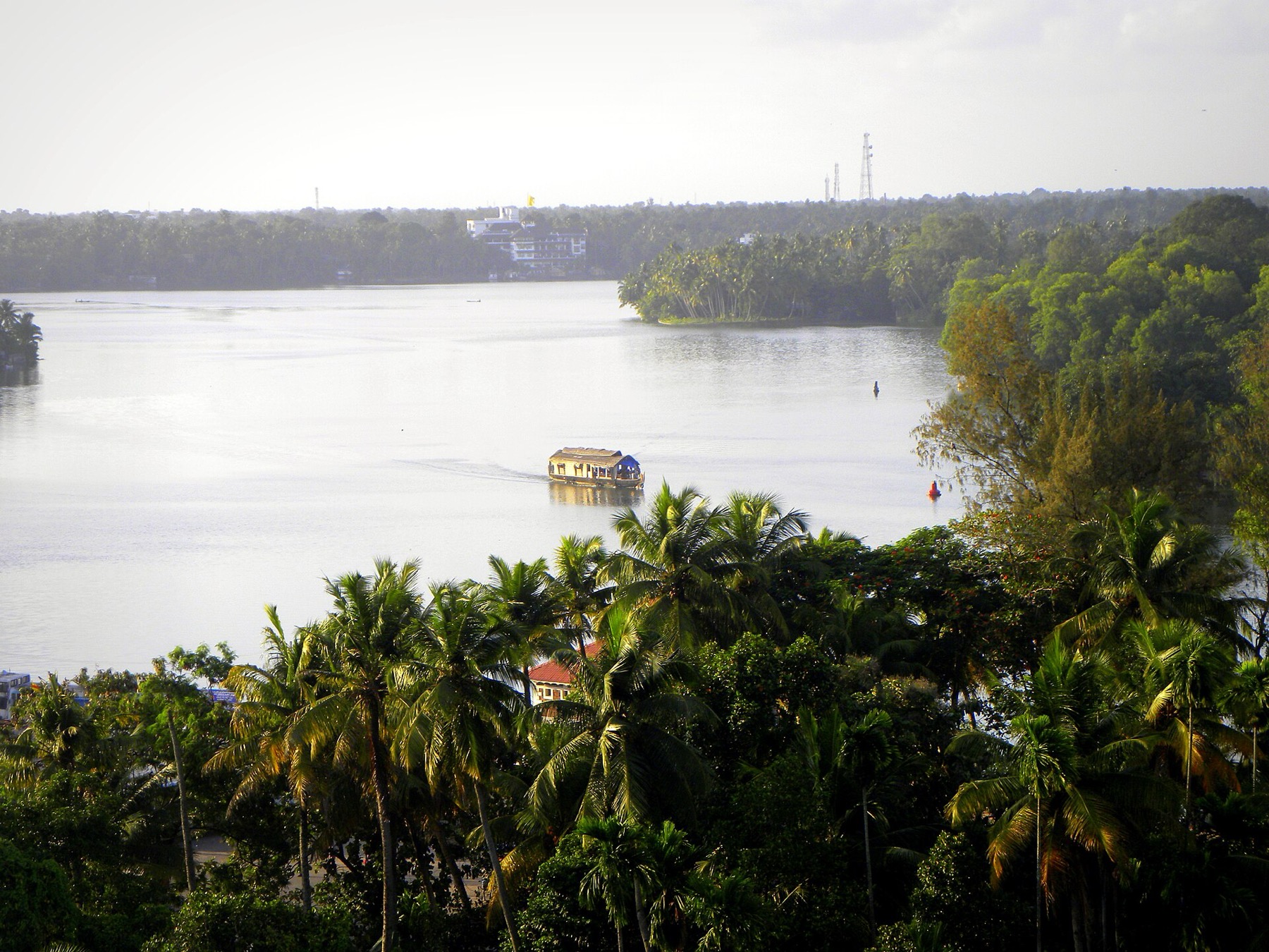
The open-water outlooks on the Munroe Island and Perumon side of Ashtamudi, where the lake widens out — the wide views the canal trips themselves do not give you.
8.5 km · straight line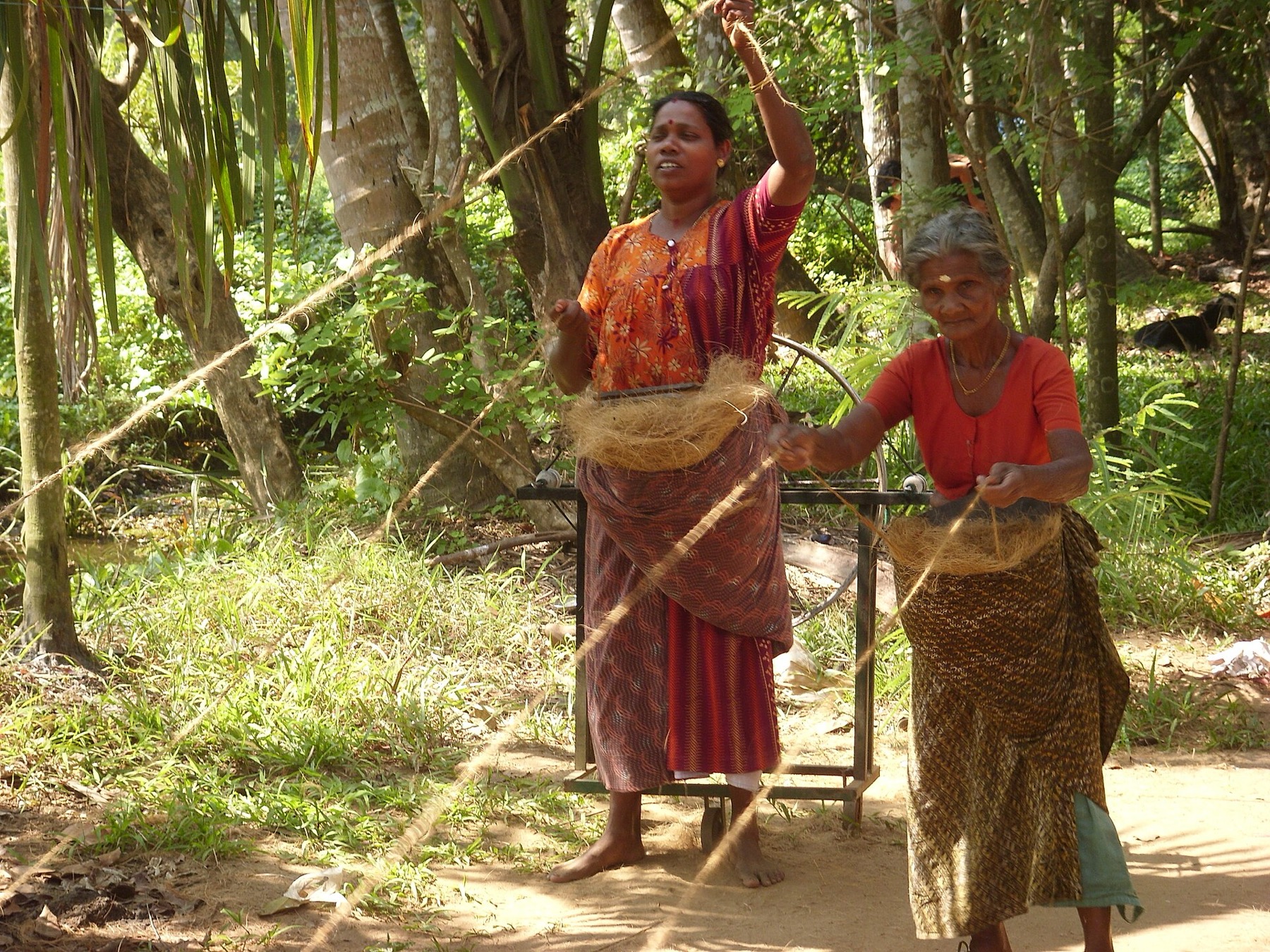
The coir-working settlements of Munroe Island, where coconut husk is retted in the backwater and spun into yarn — a working craft economy on the canal banks rather than a demonstration laid on for visitors.
9.0 km · straight lineA Travancore royal residence on the Ashtamudi shore in Kollam, built to be arrived at by boat and now a working NCC establishment — viewed from outside or from the water.
10.1 km · 11 min driveRoad and walking figures are route estimates, with travel times dependent on access, traffic and conditions. Figures marked “straight line” show direct separation and do not describe a road or walking route. Fare estimates use Kerala’s 26 April 2022 auto/taxi notification and exclude waiting, night and applicable one-way surcharges. Confirm the current meter or operator quote before travelling. Routing: © openrouteservice.org by HeiGIT | Map data © OpenStreetMap contributors
Nearby toilets, pharmacies, ATMs, seating and vets are community-mapped and may be incomplete or out of date. Map data © OpenStreetMap contributors | Walking times © openrouteservice.org by HeiGIT
Early morning is the reliable hour for the auction, and it is when the quay is busiest. But be aware that this fleet is described by CMFRI as making single-day cruises that leave early and return in the evening after three or four hauls, and multi-day boats land on their own schedule — so "dawn or nothing" overstates it. Avoid the monsoon trawl ban entirely, when the mechanised fleet is tied up.
It was Norway's first foreign aid development project, agreed in 1952 and signed in New Delhi in January 1953, begun at Neendakara, Sakthikulangara and Puthenthura. It worked in ways nobody advertises and failed at the thing it came to do. The mechanisation of the beach fishery was abandoned in 1960 — motorised canoes proved less seaworthy and more expensive than the traditional craft, and the fish were inshore anyway. What succeeded was the switch to harbour-based vessels that could fish shrimp for export, which was luck. What also succeeded was the public health work: two of the project's four stated goals were health and living conditions, and the hospital it founded is now the Neendakara Taluk Hospital.
About half of it. Norway contributed around 122 million kroner by the time it withdrew in 1972; Indian authorities contributed around 120 million over the same period. Norway supplied capital, equipment and personnel; the state and central governments paid the local expenditure.
Not in the way the phrase implies, and the common framing gets it backwards. Neendakara is where beach-launched traditional fishing was deliberately targeted for replacement — the attempt failed, and what replaced it instead was a harbour-based mechanised fleet chasing shrimp for export. The traditional craft did not survive here so much as get outrun by an industry built next to them.
Berthing capacity is given almost everywhere as over 500 boats at a time; that figure has no year attached to it in any source we could find, so treat it as reported rather than measured. The dated peak is bigger — up to 2,000 motorboats working out of the two villages at the height of the shrimp boom, with close to 20,000 people employed on land in fishing-related work during the season. It is usually called Kerala's largest fishing harbour, but the Kerala Fisheries Department's own list of commissioned harbours ranks none of them.
The annual trawl ban, which Kerala was the first Indian state to impose, from 1988. It exists because of pressure on inshore stocks — a direct consequence of the shrimp trawling that took off here after 1960. It now runs 52 days, reduced from an original 60; in 2024 it ran from 9 June to 31 July. Traditional inboard vessels are exempt and free rations are issued during the ban. Dates are set annually; confirm locally.
Treat it as a workplace. Keep clear of the men carrying baskets, stay out of the auction, ask before photographing faces, and accept that nobody has time to talk at half past five in the morning. The bridge is the best and safest vantage for the overview.
The auction is a wholesale operation moving volume to traders, not a retail counter, and it is not somewhere to buy a fish for your dinner. Retail markets in Kollam town are supplied from here and are the sensible place to buy. Ask rather than assuming you can join the bidding.
This is a commercial fishing harbour rather than a tourist operation, and there is no visitor boating provision. Any arrangement would be private and informal, and a working trawler going out for a night's fishing is not a sightseeing trip. The backwater cruises operate elsewhere on Ashtamudi.
They are the two ends of the same coast doing completely different things. Neendakara is industrial-scale mechanised fishing with a fleet of hundreds; Paravur Pozhikkara, south of Kollam, is small-scale country craft and cast nets at a quiet estuary mouth. Seeing both in a day is genuinely instructive.
In daylight and with sense, yes, but it is a working quay in the dark at the hour worth visiting — wet ground, ice, moving vehicles, heavy baskets and people in a hurry. Stay out of working lines, wear shoes with grip, and use the NH-66 bridge if you want the overview rather than the throng.
October to March is best for comfortable boat trips; monsoon is greener but weather can disrupt plans.
Entry: Free to visit the harbour area and bridge. Timings: Best at dawn for the fish landing; the harbour is busy through the morning.
Base yourself in Kollam town or a nearby town in Kollam, then confirm the last-mile route locally before leaving. Plan boat timings first, then arrange road transfer around the departure point. If the visit depends on forest, temple, boat, ferry, weather or seasonal access, check the official/local rule on the day before travel.
2 hours to a full day; overnight if using a houseboat area.
Nearby you can pair Kottankulangara Devi Temple (4.7 km, approximate straight-line separation), Anandavalleeswaram Temple (6.2 km, approximate straight-line separation), Asramam Adventure Park (6.9 km, approximate straight-line separation), British Residency, Asramam (6.9 km, approximate straight-line separation).
Use operators with life jackets and clear weather judgement. Avoid overloaded boats.
Written about Neendakara itself — its history, its legends and the arguments about them.
These guides explore Kollam town and the surrounding area. Choose a visit that fits your interests, allowing separately for travel between stops.
Route-level itineraries and practical guides for the rest of Kerala.
Photographs: Arunvrparavur (CC BY-SA 3.0), Fotokannan (CC BY-SA 4.0), Navaneeth Krishnan S (CC BY-SA 3.0), Noon Plastic (CC BY 4.0). Wikimedia Commons.