What to expect
Highlights
- Sea views and sunset at Andhakaranazhi Beach
- Nearby seafood, cafes or beach walks where available
- Easy pairing with local stays and short day trips
Estuary beach at the north Alappuzha coast near Cherthala where backwater meets sea.

An azhi is a river mouth — the gap where a backwater breaks through the sand and reaches the sea — and Andhakaranazhi is the one at the northern end of the Alappuzha coast, about thirty kilometres from Alappuzha town and ten north of Arthunkal. There is a footbridge across the mouth, a boat yard, a chapel on the sand, and a plain white lighthouse among the coconut palms that is not called what everyone calls it. What makes the place worth understanding is the comparison it invites: fifty-five kilometres south, at Thottappally, the state opens a river mouth every year with excavators. Here the sea does it, and closes it again, on nobody's schedule.
The thing to look at is the mouth itself. This is a bar-built estuary: the backwater arrives behind a long shore-parallel bank of sand, and the outlet through that bank is not a fixed channel. Longshore drift pushes sand along the coast and tends to close the gap; the flow from behind, especially in the monsoon, tends to force it open and to shift it. The mouth migrates, narrows, widens and occasionally seals, and none of that is unusual — it is simply what an azhi does when nobody intervenes.
Set that beside Thottappally. There, the same natural process happens and is not acceptable, because behind that mouth lies Kuttanad, below sea level and full of paddy, and if the outlet closes when three rivers are in flood the villages go under. So the state cuts it open with machines every year before the monsoon, to a target width, on a deadline. Two river mouths on one coast, doing the same physical job — one managed as infrastructure, the other left to the sea. Neither is more natural than the other in origin; the difference is entirely in what is standing behind them.
It is worth being concrete about the mechanics, because they explain everything you can see. The Kerala coast runs roughly north-south and the prevailing longshore drift moves sand along it, so any gap in the shoreline is under constant attack from the side. Behind the gap sits a body of backwater that rises and falls with the rain and with the tide. When the flow from behind is strong — through the monsoon, and on a falling tide — it scours the opening and keeps it clear. When the flow is weak, through the dry months, the drift wins and the opening narrows, shifts along the shore, or shuts. This is why a sandy river mouth is never in quite the same place twice, and why the bank of sand you walk across in February may be open water in July.
That instability is also why nothing permanent gets built across a mouth like this casually. A footbridge over an azhi has to span a channel whose position and width are not fixed, above water that carries both a tidal current and, in season, a river in spate. The bridge here is the most substantial thing on the site for exactly that reason, and it is worth a look on its own terms rather than only as a viewpoint.
⚠ We should also be plain about what we could not establish. There is no Wikipedia article for Andhakaranazhi, no Kerala Tourism destination page with real detail, and no official source we could reach that gives dates, dimensions or administrative history for the azhi, the bridge or the boat yard. That is unusual for a place this well known locally, and it means much of what circulates online about it is unsourced repetition. We would rather tell you that than pass on figures we cannot stand behind — which is also why this page is shorter on hard history than most of our Alappuzha pages and longer on what is physically in front of you.
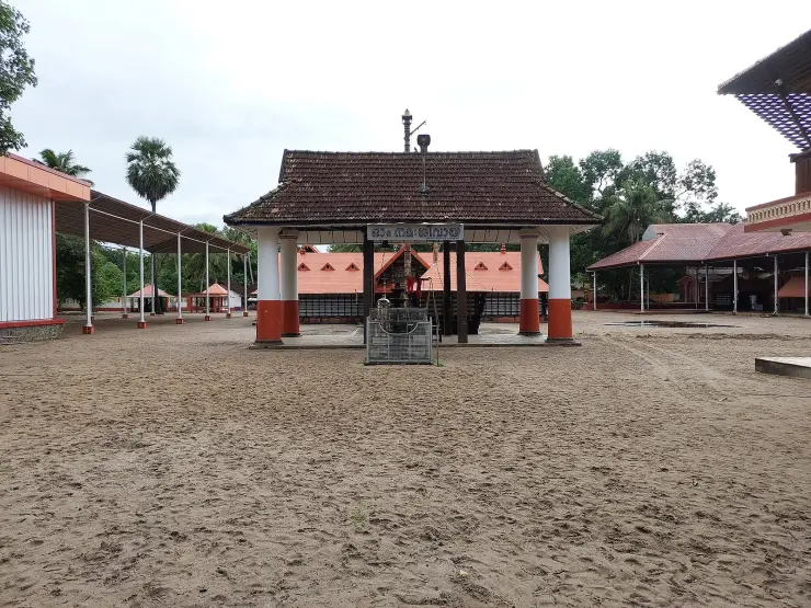
The structures here are modest and worth naming precisely. A footbridge crosses the azhi — the site's distinguishing feature and the thing most photographs are taken from or of. There is a boat yard at the mouth. Christ the King Chapel stands on the beach itself, which on this stretch of coast is unsurprising: this is Latin Catholic fishing country, the same community the Diocese of Alleppey was drawn around.
⚠ And then the lighthouse, about which we are going to be careful. Travel pages call it the Andhakaranazhi lighthouse. It is signed and catalogued as the Manakkodam Lighthouse, after the locality it actually stands in, and that is the name we use. It is also not the tower those pages imply. There is no picturesque red-and-white banding here: it is a plain square white concrete tower standing on an open lattice base, with an external stair, among coconut palms and power lines.
We now have the ledger, and here are the numbers. The Directorate General of Lighthouses and Lightships records the tower as 30 m and the elevation of the light as 34 m above mean sea level — two different measurements, which is why published 'heights' for this lighthouse appear to disagree — with a character of Fl (2) W 10 s, a range of 16.6 nautical miles and a commissioning date of 1 August 1979. The tower is square and stands on four columns because the 30 m cylindrical design drawn for this site in 1972 was too heavy for the weak ground beneath it.
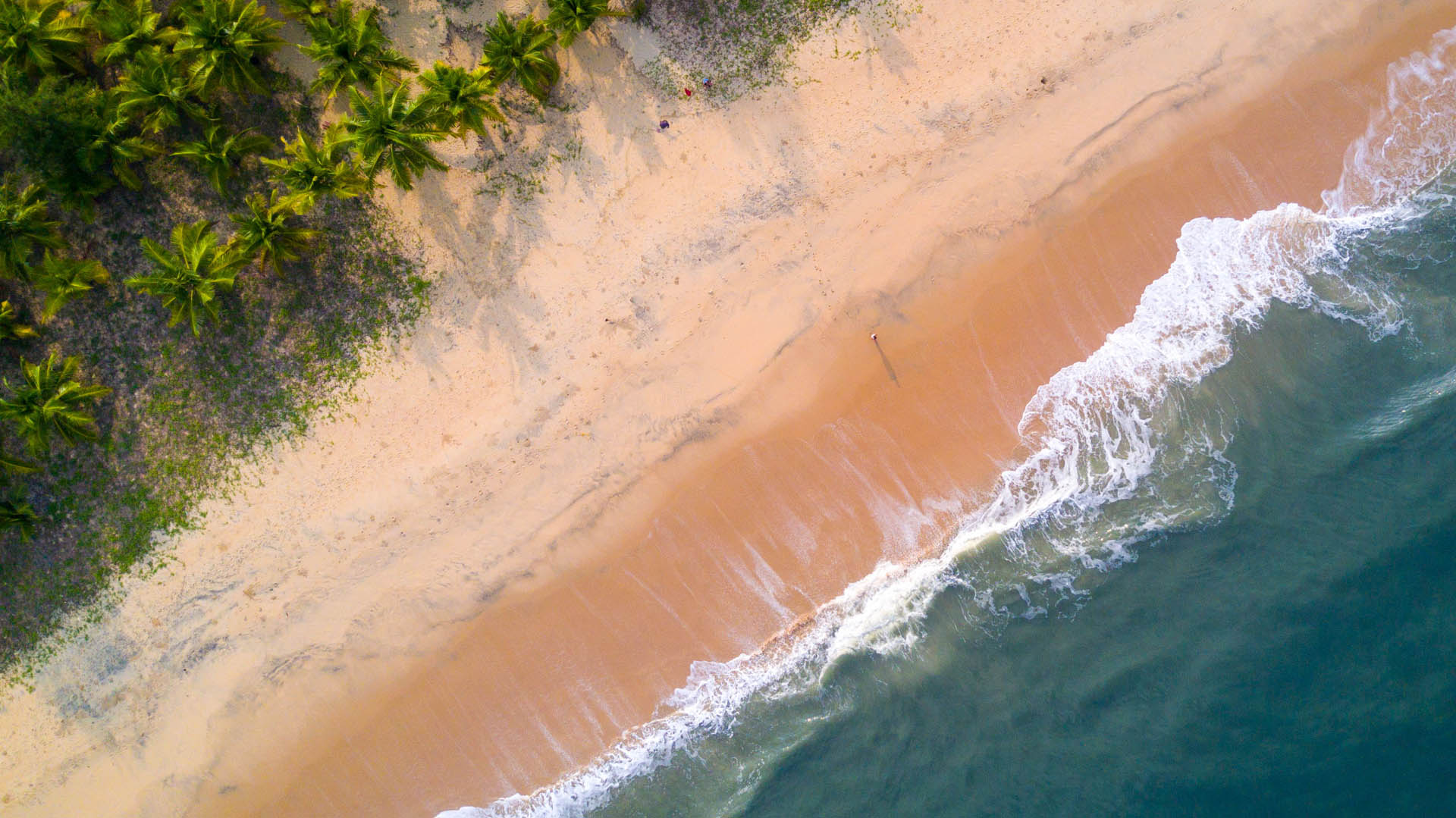
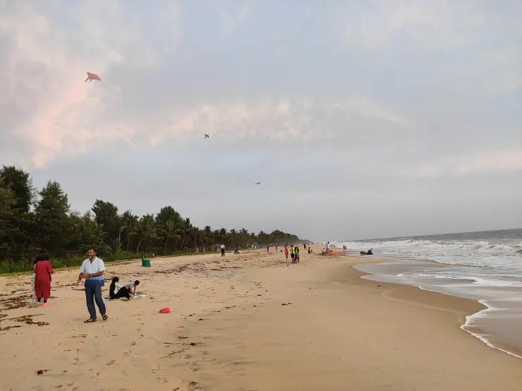
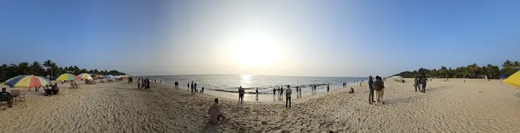
As a place to spend an evening, Andhakaranazhi is the working weekend beach of this coast rather than a resort one. It is about thirty kilometres from Alappuzha, ten from Arthunkal, and on the coastal road that runs north through Chellanam towards Thoppumpady and Kochi — which puts it within easy reach of a city, and it fills accordingly on Sunday evenings. The sand is wide, flat and pale; there are country boats drawn up on it, laterite boulders along parts of the shore, and, honestly, a fair amount of litter in places. It is not manicured.
⚠ One safety note, phrased as the general caution it is rather than as a specific claim we can source about this beach: bar-built estuary mouths carry strong and variable tidal currents, and the water near an azhi is not the water of an open beach. Swimming close to a river mouth anywhere on this coast is a bad idea, and it is worth taking local advice on the day rather than assuming that calm-looking water is safe.
We could not find any folklore attached to Andhakaranazhi, and there is a specific temptation here that we want to name and refuse rather than quietly give in to.
The name looks like it is asking to be explained. Read one way, Andhakaranazhi contains andhakaram — darkness — and azhi, the river mouth: the dark river-mouth. From there it is a very short walk to a story. A ship lost in the dark. A light that failed. A stretch of water sailors feared at night, which is why a lighthouse eventually came to stand here. Any of those would sound plausible on a travel page and would fit the place beautifully.
We have no source for any of them, and we are not going to write them. Folk etymology presented as legend is exactly the same error as borrowed folklore — it manufactures a tradition and attributes it to a community that did not tell it. If the name has an explanation, somebody in Manakkodam knows it and we do not, and the honest position is to say so and leave the space open.
The wider search came back empty too. There is no Wikipedia article for this place, no Kerala Tourism destination page with real substance, and no traditional narrative we could locate in English or in Malayalam. We record that as a statement about our searching rather than about the coast: a fishing settlement at a river mouth almost certainly carries oral material about the water, the bar and the boats, and its absence from the written record is not evidence that it does not exist. This is the kind of blank we most expect to be wrong about.
🚫 We are also not borrowing from the neighbours, and on this stretch of coast the neighbours are unusually well supplied. Ten kilometres south at Arthunkal there is the Veluthachan tradition and the remarkable practice of Ayyappa pilgrims visiting St Sebastian. Sixteen kilometres south at Mararikulam there is a temple whose arattu is held in the sea. None of that is Andhakaranazhi's, all of it is told on its own pages, and any of it could have been slid up the coast to fill this section.
What stands here instead of a legend is a physical fact that is genuinely strange when you sit with it. The gap in the sand that this whole place is named for and organised around is not a permanent feature. It moves. It narrows and widens with the season, it can close, and when it closes it is the sea that closed it. A village, a chapel, a boat yard and a footbridge are all arranged around an opening that is, in the long run, temporary.
There is a second thing the emptiness of the record points at, and it is worth saying because it applies well beyond this beach. The places in Kerala with the thickest written folklore are, overwhelmingly, the places with institutions behind them — temples with committees, churches with dioceses, festivals with printed programmes. Somebody had a reason to write the story down, and somewhere to keep it. A working river mouth has none of that. Its knowledge is about tides, bars and boats, it is held by people who use it rather than by an institution that curates it, and it goes unrecorded not because it is thin but because nothing exists to record it.
That is not a myth and we will not dress it up as one. But it does explain something about how coastal Kerala thinks about the sea, and it is why the contrast with Thottappally is the most useful thing we can offer you about this beach: fifty-five kilometres apart, two river mouths, one of which the state now opens on a schedule because it could not afford to let the sea decide, and one of which is still the sea's business entirely.
Andhakaranazhi lies in Manakkodam, in Cherthala taluk, Alappuzha district, near Andhakaranazhy village (PIN 688531), at the point where the northern arm of the backwater system reaches the Arabian Sea.
⚠ We have not been able to establish a documented history for the settlement. There is no Wikipedia article, and no official source we could reach gives dates, dimensions or administrative detail for the azhi, the footbridge or the boat yard. Rather than fill that gap with travel-site assertions, we are recording the absence.
The lighthouse standing here is the Manakkodam Lighthouse — named for the locality, not for the azhi, despite being universally referred to as the Andhakaranazhi lighthouse. Per the DGLL's own Master Ledger it is a 30 m square RCC tower on four columns, its light 34 m above mean sea level, showing Fl (2) W 10 s to a range of 16.6 nautical miles, commissioned on 1 August 1979. Its postal address is Andhakaranazhi P.O., 688531, which is a fair summary of the naming problem.
Christ the King Chapel stands on the beach. This is Latin Catholic fishing coast — the territory the Diocese of Alleppey was drawn around in 1952, a ribbon of shoreline between a canal line and the sea — and the chapel belongs to that pattern rather than being an isolated curiosity.
The beach sits on the coastal road running north from Alappuzha through Arthunkal and on towards Chellanam and Thoppumpady, which is the reason it functions as a weekend beach for people coming south out of Kochi.
For the azhi itself — a river mouth that opens, shifts and closes under its own forces, and the clearest natural counterpart to the machine-cut mouth at Thottappally.
For the footbridge across the mouth, which is the site's distinguishing structure and the best vantage point on it.
Because it is an unpolished, working weekend beach rather than a resort one: country boats on the sand, a boat yard at the mouth, families out on a Sunday evening.
For Christ the King Chapel standing on the beach — a small, characteristic marker of this Latin Catholic fishing coast.
For the Manakkodam Lighthouse, which is the least photogenic building here and the one the boats actually need.
Because of where it sits: about 30 km from Alappuzha, 10 km north of Arthunkal, and on the coastal road towards Kochi — an easy stop on a drive rather than a destination you must plan around.
Road km to Alappuzha; ghat roads and traffic vary — allow extra.
November to February for dry weather; avoid rough-sea days during monsoon warnings.
Live forecast loads in your browser.
Sun and moon are calculated for this location and shown in IST. Photography windows are the hour around sunrise and sunset; the sunset bearing is degrees clockwise from true north. Moon phase is accurate to about half a day.
Browse listed stays, food, activities, sights, shops and rentals around Andhakaranazhi Beach. Check each listing’s locality and contact the business directly for current arrangements.
Carnoustie is a resort at Chennaveli, Chethy, in the Mararikulam area. Its operator lists Punag, Semantha, Zukra and Mallika pool villas separately from Akund Deluxe. Choose an exact category before asking for a stay quote; the Akund page describes a lily pool, which does not establish a private swimming pool.
Abad Turtle Beach Resort in Mararikulam advertises cottages, a pool, dining, Ayurveda and spa facilities. Ask about the exact cottage, meal inclusions and facilities operating for your dates.
CGH Earth’s Marari Beach resort is at S.L. Puram in Mararikulam, Alappuzha. Its operator lists Garden Villas, Garden Villas with Pool and Deluxe Garden Villas with Private Pool. Choose the named category; a Garden Villa reservation should not be treated as a private-pool booking.
Mararikulam homestay with separately named private and shared-pool villas. Ask for the exact villa, meal inclusions and bathroom layout.
Book with the place itself. India’s cyber-crime coordination centre warned in April 2025 that convincing copies of hotel and pilgrimage booking sites are being pushed through sponsored search and social ads, taking payment for rooms the property never hears about. Use the contact and source details on each profile to confirm the exact business and booking channel. A directory entry or map pin alone does not establish an operator’s identity or current availability. Roampedia takes no commission and does not collect booking payments. If a booking page reached you through an ad, check the address bar against the property’s own site before you pay. Fraud can be reported on cybercrime.gov.in or on 1930.
Find food, accommodation and activities across Mararikulam. Browse the guides for places to eat, stay and explore along your route.
3 more places around Mararikulam. Open a guide to plan the visit and onward journey.
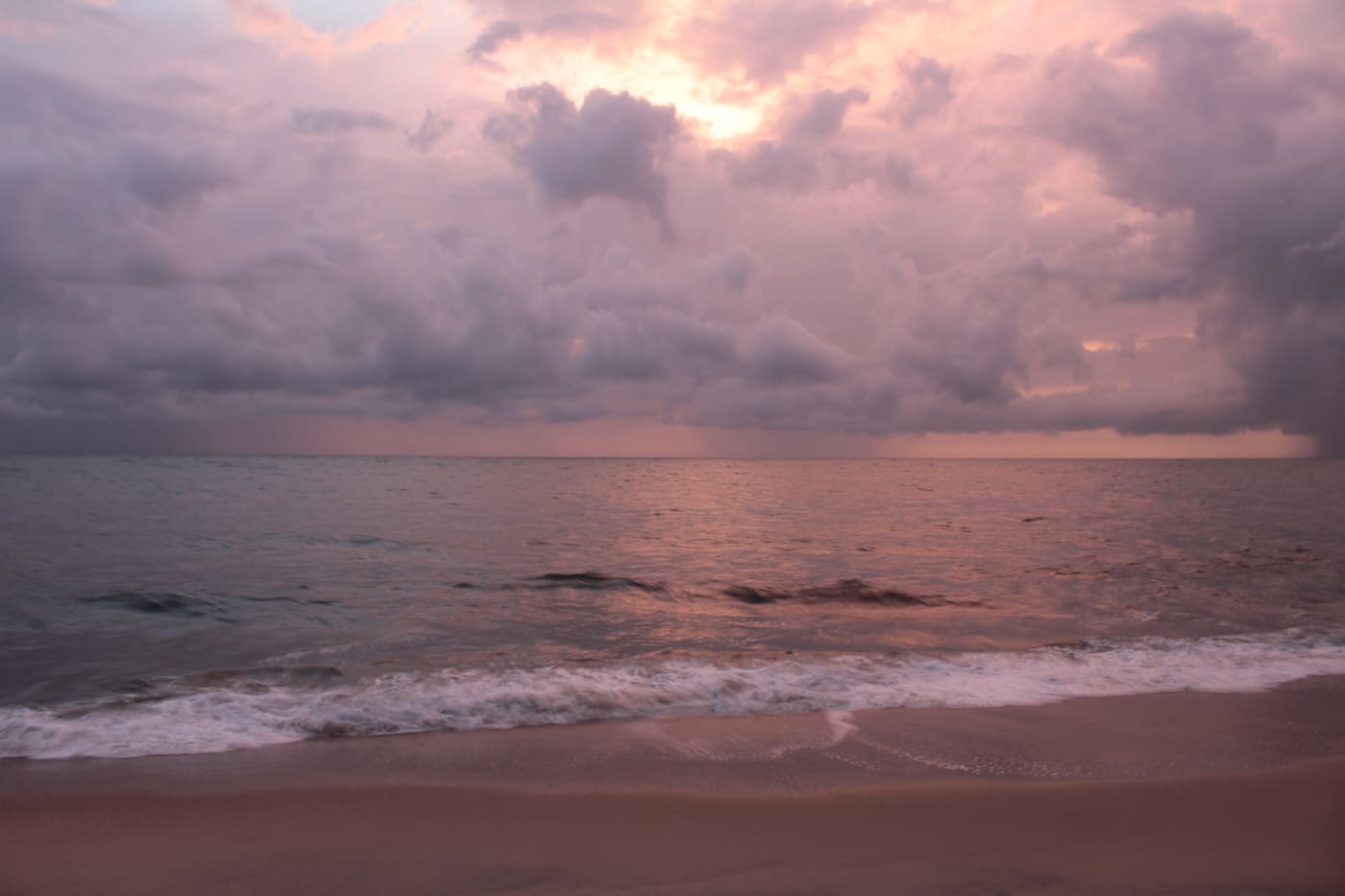
16.7 km · straight line
Quiet beach belt north of Alappuzha, popular for relaxed stays.
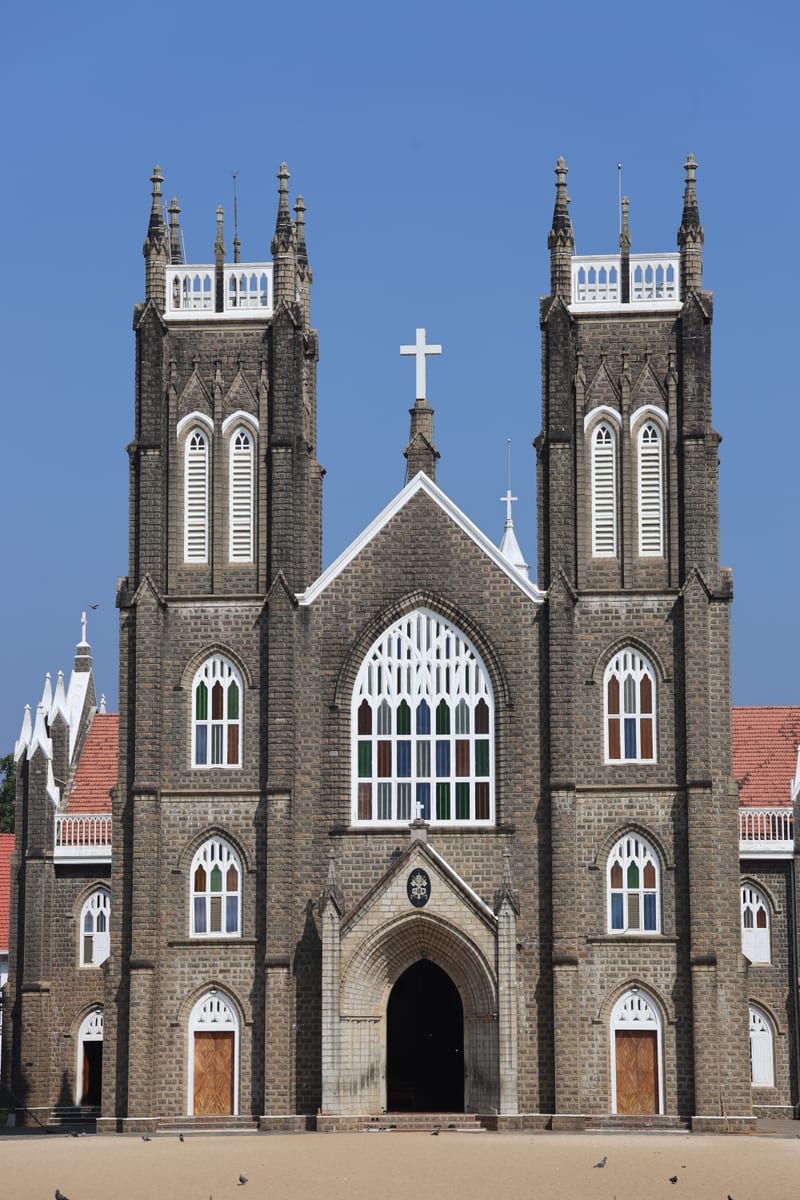
9.8 km · straight line
St Andrew’s Forane Basilica at Arthunkal, a major coastal pilgrimage church north of Alappuzha.
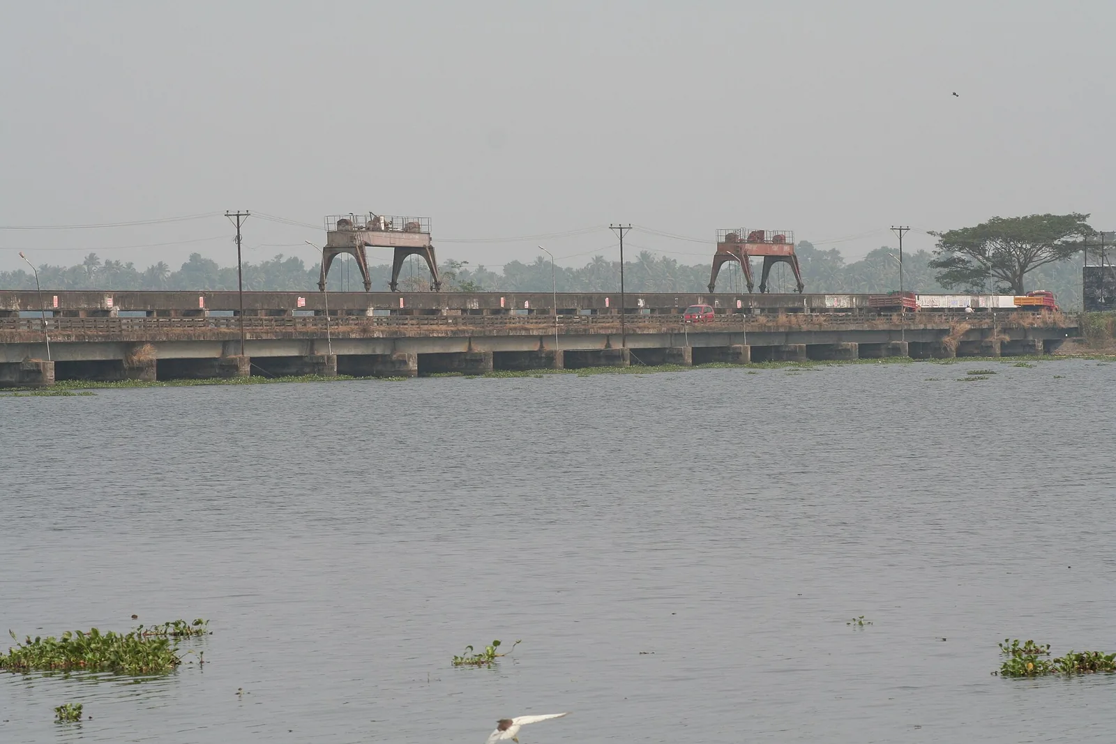
15.0 km · straight line
Salt-water barrier and bridge across Vembanad Lake that keeps the sea out of Kuttanad’s paddy in the cropping season — a long causeway with lake views.
Roampedia is commission-free — own or know a stay, eatery, guide or shop near Andhakaranazhi Beach? Submit public business details for review.
Add a nearby businessEntry: Free. Open public beach — nothing to pay and nothing to book.
Dress code: None, but this is a local family beach rather than a resort one — swimwear is not the norm on the sand here. Dress as you would in a Kerala village.
Festivals: None of its own on the beach. Christ the King Chapel stands on the sand and keeps the ordinary Latin-rite calendar; the major religious draw on this stretch of coast is the Arthunkal basilica, 10 km south.
Photography: Sunset over the mouth, the footbridge and the boat yard are the subjects. ⚠ Fishing gear and boats are people's working equipment — ask before photographing crews or hauls close up.
If you are travelling by bus or ferry, check the return service with the operator before setting out. Leave time to reach the stop or jetty after your visit.
Ask at the bus stand for the time of the last service back, not the next one. If you miss it, an auto or app cab is the fallback — agree the fare before you get in.
If you need step-free access, contact the site before travelling. Ask about a level entrance, steps along the route, the nearest drop-off point, seating and accessible toilets.
These services are listed within about 1.2 km of Andhakaranazhi Beach. Walking distances follow mapped routes; access and opening hours can change. Other services may be closer but are not included here.
Published emergency and visitor-assistance contacts. For an immediate emergency, call 112. Shared Kerala contact sources checked 4 October 2026; publication does not establish a tested live response.
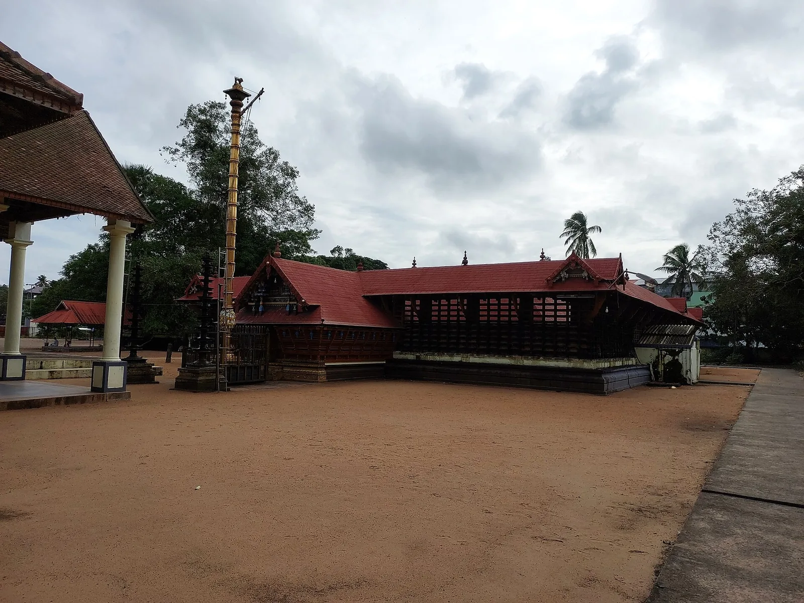
The Devi temple in the middle of Cherthala town, one of the 108 Durgalayas — where the goddess sits about four feet below ground level, hundreds of cockerels released as offerings live in the compound, and the town’s own name is said to come from the legend of her rescue from the mud.
9.3 km · straight lineSt Andrew’s Forane Basilica at Arthunkal, a major coastal pilgrimage church north of Alappuzha.
9.8 km · straight lineSalt-water barrier and bridge across Vembanad Lake that keeps the sea out of Kuttanad’s paddy in the cropping season — a long causeway with lake views.
15.0 km · straight lineQuiet beach belt north of Alappuzha, popular for relaxed stays.
16.7 km · straight line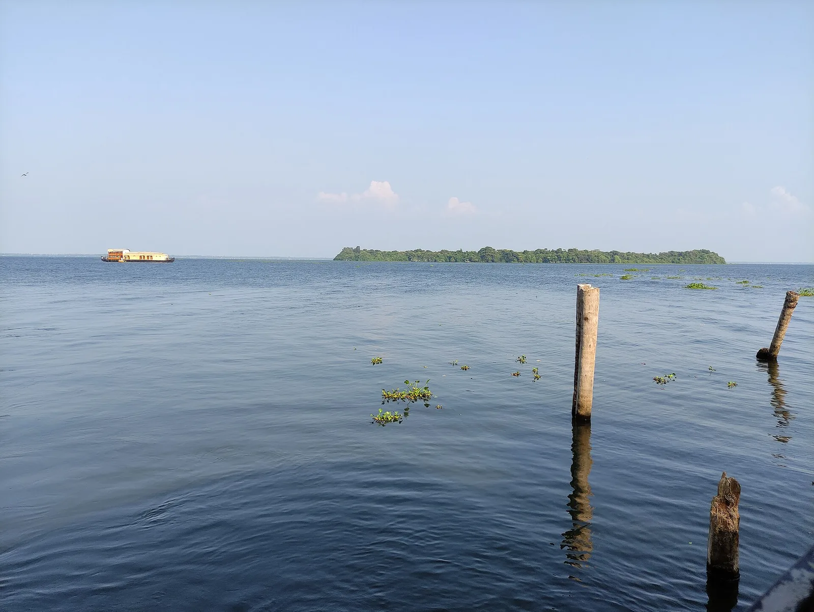
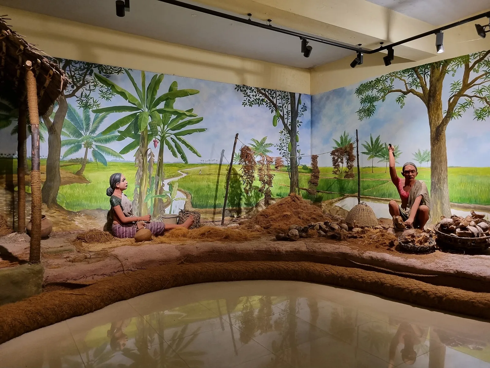
Museum on Kerala’s coir (coconut-fibre) heritage — the craft Alappuzha built its trade on.
21.1 km · straight line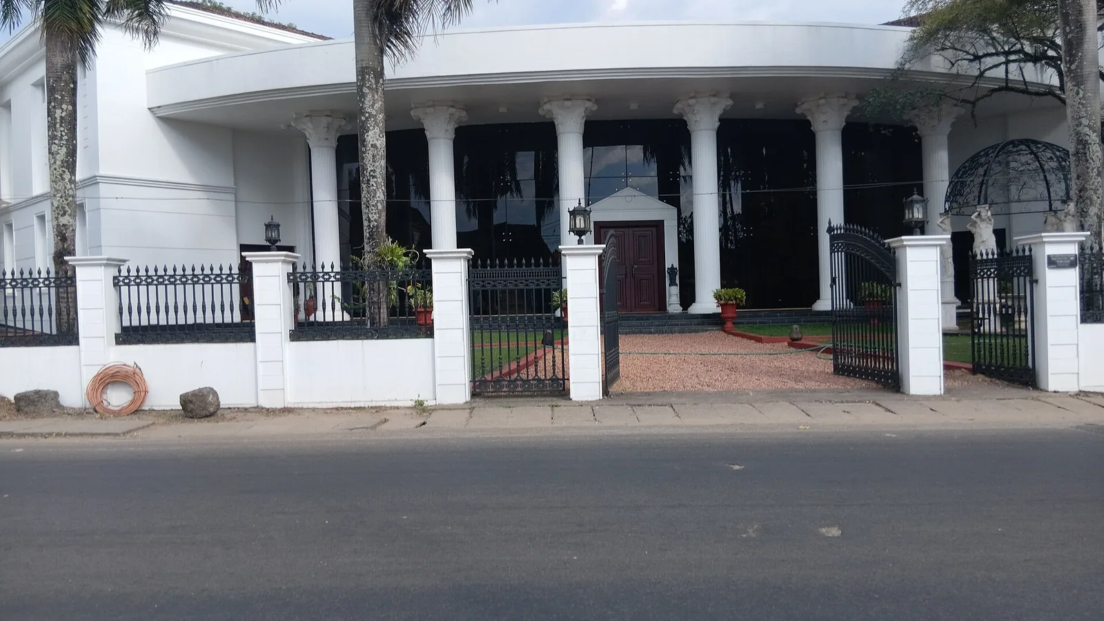
Private memorial museum in Thathampally with a large collection of paintings, ivory, crystal and antiques.
28.0 km · straight line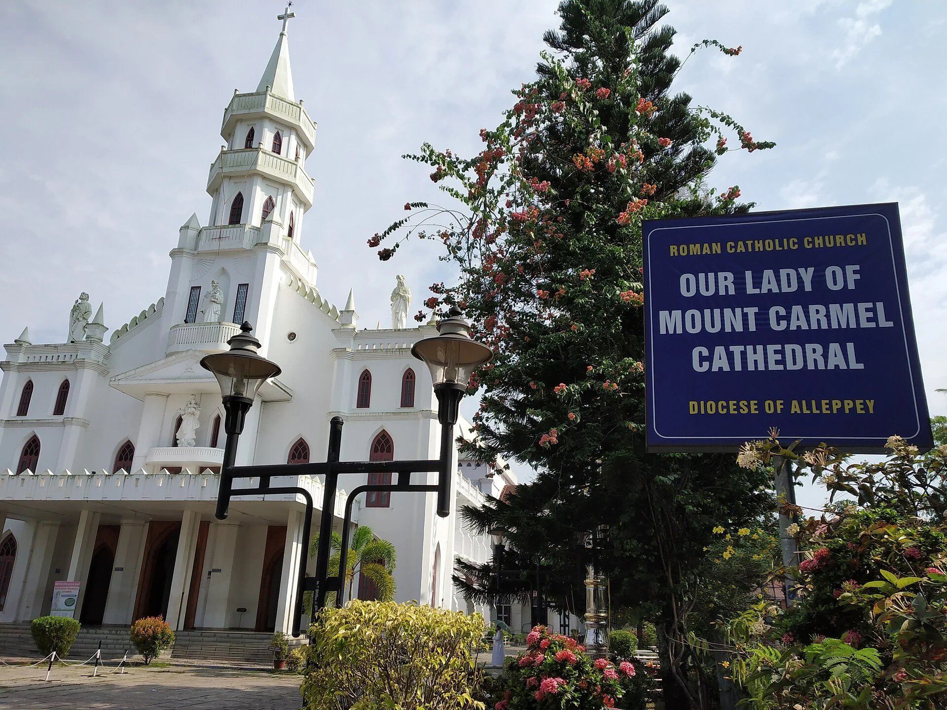
Landmark 19th-century cathedral of the Alappuzha diocese near the town centre.
28.3 km · straight line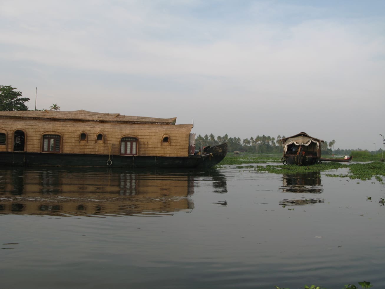
Backwater and houseboat hub with canals, beach, lighthouse and Finishing Point jetty.
28.4 km · straight line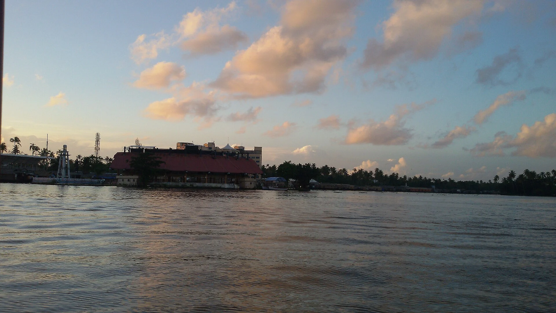
Finishing-point lake of the Nehru Trophy Boat Race and the main houseboat cruising water off Alappuzha.
28.4 km · straight line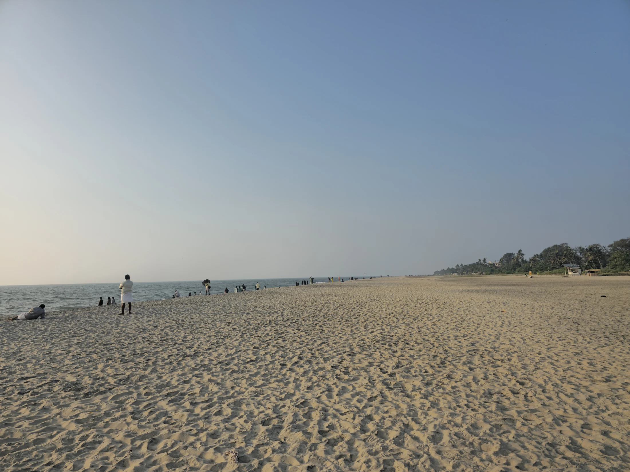
Pair Alappuzha’s broad town beach and old pier remains with the red-and-white lighthouse on C.C.S.B. Road, commissioned in 1862 and still maintained as a navigational light.
28.5 km · straight line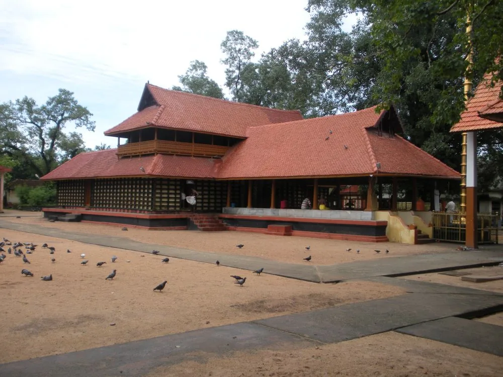
Central Alappuzha town temple (Mullakkal Rajarajeswari) famous for the annual Mullackal Chirappu festival.
28.6 km · straight lineNearby toilets, pharmacies, ATMs, seating and vets are community-mapped and may be incomplete or out of date. Map data © OpenStreetMap contributors | Walking times © openrouteservice.org by HeiGIT
A river mouth or tidal inlet — the gap where a backwater or river breaks through the coastal sand bar and reaches the sea. Andhakaranazhi is the azhi at the northern end of the Alappuzha coast.
⚠ We do not know, and we are not going to guess. The name can be read as containing andhakaram, darkness, which invites a story about a dark or dangerous river mouth — but we have found no source for any such tradition, and inventing an etymology and presenting it as local legend would be exactly the kind of thing we try not to do.
That is what travel pages call it, but it is signed and recorded as the MANAKKODAM Lighthouse, after the locality it stands in — though its own postal address is Andhakaranazhi P.O. Per the DGLL Master Ledger it is a 30 m square tower on four columns, light 34 m above sea level, Fl (2) W 10 s, range 16.6 nautical miles, commissioned 1 August 1979.
Treat the area near the river mouth with real caution. Bar-built estuary mouths carry strong and variable tidal currents, and the water beside an azhi does not behave like the water of an open beach. ⚠ We state that as a general caution about estuary mouths rather than as a sourced claim about this beach specifically — take local advice on the day.
They are the same phenomenon under different management. Both are river mouths on the Alappuzha coast; at Thottappally the state cuts the mouth open with machines every year before the monsoon, because below-sea-level Kuttanad lies behind it. At Andhakaranazhi the sea opens and closes the mouth on its own.
It is about 30 km north of Alappuzha town and about 10 km north of Arthunkal, on the coastal road that continues north through Chellanam towards Thoppumpady and Kochi. There is no entry fee.
November to February for dry weather; avoid rough-sea days during monsoon warnings.
Entry: Free. Open public beach — nothing to pay and nothing to book. Timings: Open beach with no gates or hours. It is busiest on weekend evenings, particularly Sundays, when people come down from the Kochi side. There is no lighting along the shore, so leave before dark.
Base yourself in Mararikulam or a nearby town in Alappuzha, then confirm the last-mile route locally before leaving. Arrive before sunset if you want photos and a calmer walk; beach roads can slow down in the evening. If the visit depends on forest, temple, boat, ferry, weather or seasonal access, check the official/local rule on the day before travel.
1 to 3 hours, longer if staying for food or sunset.
Nearby you can pair Cherthala Karthyayani Temple (9.3 km, approximate straight-line separation), Arthunkal Church (9.8 km, approximate straight-line separation), Thanneermukkom Bund (15.0 km, approximate straight-line separation), Marari Beach (16.7 km, approximate straight-line separation).
Do not swim during rough-sea warnings. Avoid isolated stretches after dark unless with a trusted local/operator.
Written about Andhakaranazhi Beach itself — its history, its legends and the arguments about them.


These guides explore Mararikulam and the surrounding area. Choose a visit that fits your interests, allowing separately for travel between stops.
Route-level itineraries and practical guides for the rest of Kerala.
Photographs: Ganesh Mohan T (CC BY-SA 4.0), Gannu03 (CC BY-SA 4.0), Vis M (CC BY-SA 4.0). Wikimedia Commons.