What to expect
Highlights
- Boat or canoe routes around Ezhattumugham
- Village life, canals and lake/river scenery
- Good fit for homestays and local food stops
A riverside nature village on the Chalakudy river near Mattoor, with a bamboo forest walk and gentle river bathing spots, on the Athirappilly day-trip side.
Ezhattumugham is a hushed riverside village on the Chalakudy River in Ernakulam district, where the Chalakudy fans out around islets and boulders into a scatter of shallow streams — the very image that gives the place its name. Wrapped in forest quiet and best known for its swaying suspension bridge, the Prakriti Gramam nature park and long boulder-strewn shallows you can wade across in the dry season, it is one of central Kerala's gentlest offbeat escapes, a short drive downstream from the thunder of Athirappilly.
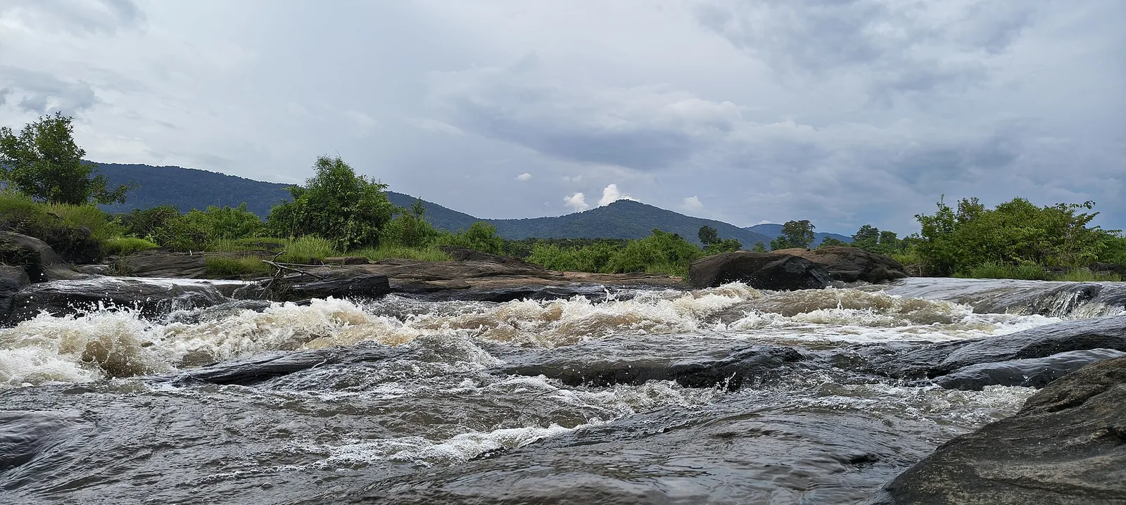
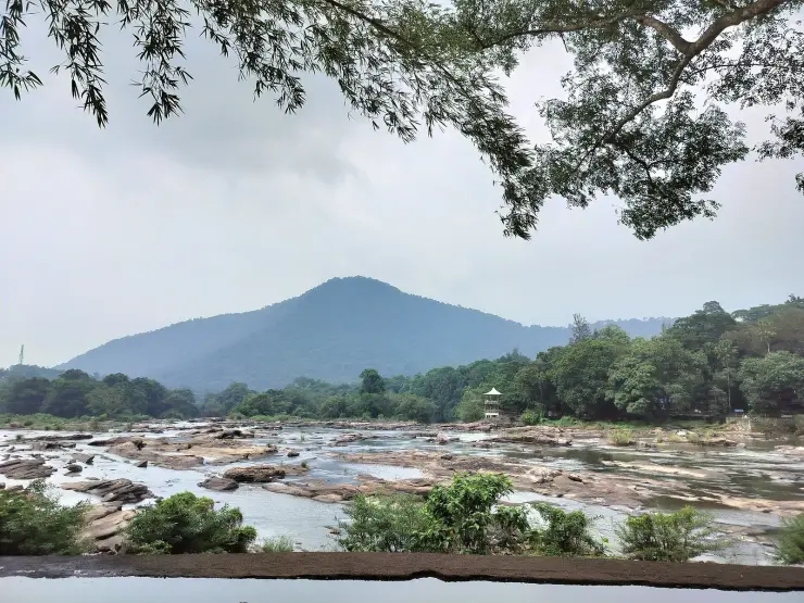
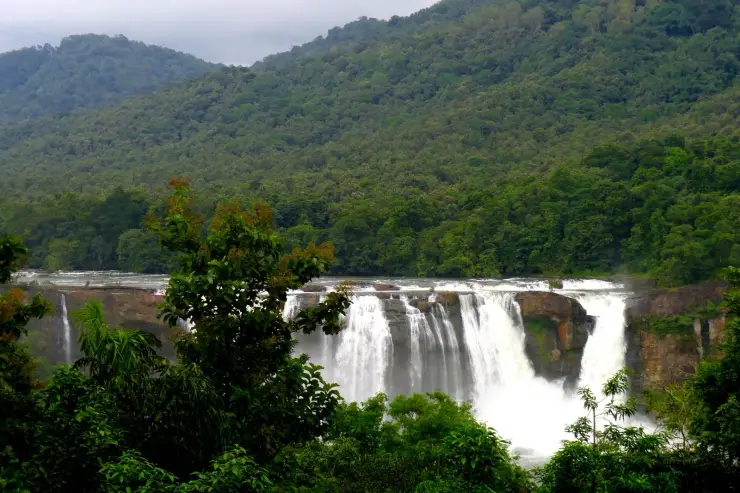
The name says almost everything. In Malayalam, ezhu (seven) and mugham (face) fold together into Ezhattumugham — the seven faces, or seven mouths, of the river. As the Chalakudy slides down from the Western Ghats and reaches this broad, rocky reach, it loses its single thread and splits around low islets and rounded boulders into a braid of channels. Stand on the bank in the dry months and you can count the shining streams peeling away from one another, then rejoining downstream, each one a separate face of the same water.
For most of the year the Chalakudy here is more idle than fierce. Between roughly September and February the Chalakudy runs low and clear, baring its bed of sun-warmed granite, and villagers and visitors pick their way across the boulders and islets through ankle-deep water almost to the far bank. Children swim in the natural rock pools, families spread out for picnics on the flat stones, and the loudest sound is often birdsong from the surrounding canopy. It is the kind of place people come to do very little, deliberately.
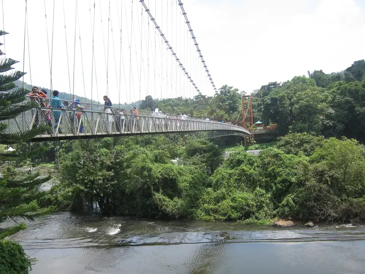
The signature experience is the hanging bridge — a suspension footbridge strung across the Chalakudy, reported to be roughly 250 metres long and about 10 metres above the water. It sways and bounces underfoot, which is half the fun and half the fright, and it delivers you across to the Ezhattumugham–Prakriti Gramam side, with wide views up and down the braided channels as you go.
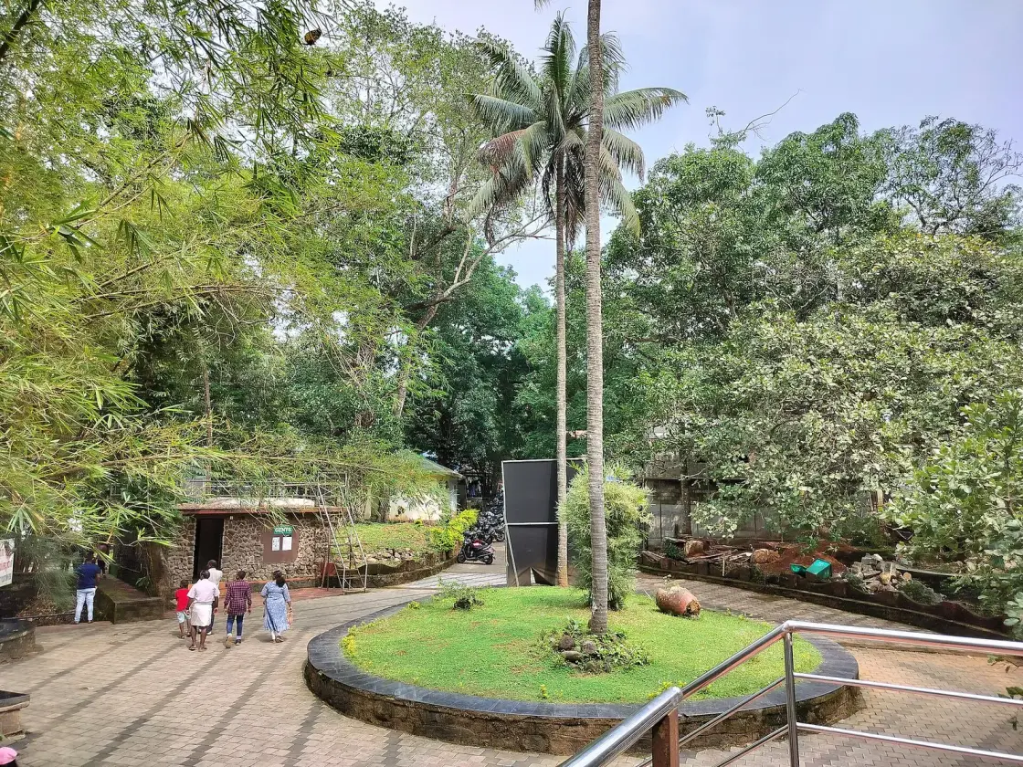
Prakriti Gramam — literally Nature Village — is the organised heart of the visit: an eco-tourism park laid out beside a check-dam across the channel. Within it are a butterfly garden said to host around 140 species (including the huge southern birdwing, the blue tiger and the common rose), a medicinal-herb garden explaining plants used in Ayurveda, a small tribal museum of indigenous artefacts and lifestyle objects, a children's park and beds of exotic flowering plants. It is compact and easily walked, and it turns a short stop into a half-day of pottering.
Beyond the park the landscape is working countryside — rubber, banana and sweeping oil-palm plantations line the approach roads, and the village keeps the unhurried rhythm of rural Kerala rather than the polish of a resort town. That authenticity is exactly the draw. Ezhattumugham has stayed low-key even as its neighbours grew famous, and it rewards travellers who want the smell of the water and the shade of the trees more than a checklist of attractions.
It is also quietly photogenic enough to have caught film-makers' eyes: the Chalakudy's boulders and light have appeared on screen, most notably in scenes tied to Mani Ratnam's 2010 film Raavan, shot around these reaches and the nearby falls. Come at dawn or in the low gold of late afternoon and it is easy to see why — the seven faces each catch the light a little differently.
The name itself carries a folk logic worth telling as story: local lore holds that the Chalakudy shows seven faces here because the Chalakudy chose to divide and dance around the rocks rather than force its way through — seven streams, seven moods, one water. It is a poetic reading of a simple geological fact, and villagers repeat it as the village's own signature.
Ezhattumugham sits within a landscape steeped in Kerala's serpent-grove tradition. Across this part of the state, ancestral homesteads and riverside villages have long kept a sarpa kavu — a small, deliberately untouched patch of sacred forest set aside for the naga, or serpent deities. As legend has it, these groves are the abode of the snake gods, who guard the family and the land; to cut a tree or disturb the grove is said to invite the serpents' displeasure, so the kavu is left wild, its undergrowth, old trees and stone naga idols undisturbed for generations.
Whether or not you seek out a specific grove, it is worth carrying the belief with you as you walk the riverbanks: in the Kerala imagination the quiet, shaded, water-fed corners of a village like this are precisely where the serpents are thought to dwell, and the tradition of leaving them alone is credited — by folklore and, increasingly, by ecologists — with preserving pockets of native forest and the springs and soil they shelter. The reverence is legend; the surviving greenery is real.
Now the correction, and it is a correction to this page as much as to anyone else's. We have described the butterfly garden, the herb garden, the tribal museum and the children's park as though they were all part of Ezhattumugham Prakriti Gramam. They are not all on this bank. What visitors experience as one destination is two projects in two districts, joined by one footbridge: Thumboormuzhi on the Thrissur bank, with the check-dam and the butterfly garden, and Ezhattumugham Prakriti Gramam on the Ernakulam bank. The Chalakudy is the district boundary here. The famous swaying bridge is not an attraction inside a park; it is the crossing between two of them, and walking it means leaving Ernakulam.
That matters practically, because the single most-photographed feature of a trip to Ezhattumugham is the butterfly garden, and Kerala Tourism lists it as the largest butterfly garden in the state — under Thumboormuzhi, in Thrissur. Its species count is quoted at more than 140 in most places and at about 184 in others, which is the ordinary fate of a number nobody re-counts. The species people actually come to see are named consistently enough to trust: the southern birdwing, India's largest butterfly, along with the common rose, the lemon butterfly and the light and dark blue tigers, drawn in by planted host and nectar species including pagoda flower, Mexican heather, rattlepods and flame lily.
The last thing worth unpicking is the name, gently, because we like it. Ezhu attu mugham reads as the seven faces or seven mouths, and the braiding it describes is entirely real: the Chalakudy does lose its single thread here and split around islets and boulders. What is not real is the seven. Nobody standing on that bank is counting seven anything, and the number of channels changes with the water — more in February, fewer after rain, sometimes one continuous sheet in the monsoon. Treat it as a name rather than a measurement. The Chalakudy does not owe the village an exact figure, and the village has never asked it for one.
Ezhattumugham owes its existence to the Chalakudy River, one of Kerala's major west-flowing rivers, which rises in the Anamalai hills of the Western Ghats and gathers the Sholayar, Parambikulam and other tributaries before spreading out over this broad rocky reach on its way to the sea. The braided channels and islets that give the village its name are the product of that geography — a wide, gently graded stretch where the current drops its energy and splits around resistant granite.
Water management has long shaped the spot. A check-dam across the Chalakudy here — associated with the Thumboormuzhi scheme upstream — steadies the flow and feeds irrigation for the surrounding farmland, and it is on the flank of this dam that the tourism park was later built. The steadier, pooled water is part of what makes the dry season so approachable.
The surrounding countryside has been farmed for generations, and the approach to the village runs through extensive oil-palm and other plantations; several sources describe the oil-palm estates of this belt as among the largest in the region. This is a productive agricultural landscape as much as a scenic one, and the village economy still leans on the land rather than on tourism alone.
The organised visitor attraction — Ezhattumugham–Prakriti Gramam — was developed as an eco-tourism project by the Thrissur District Tourism Promotion Council, on the district border where the Chalakudy separates Ernakulam from Thrissur. The suspension footbridge, butterfly garden, herbal garden, tribal museum and children's park were laid out to package that natural draw into a managed park while keeping its low-impact, nature-first character.
In recent years the reach gained wider fame as a filming location, its boulder-studded shallows and green light drawing Malayalam and national productions; portions of the 2010 film Raavan were shot in this country. That exposure, together with its easy distance from Kochi and Athirappilly, has slowly put the once-anonymous village on the offbeat-Kerala map.
To see the seven faces — the rare, photogenic sight of the Chalakudy braiding into multiple shallow streams around islets and boulders, most visible in the dry post-monsoon months.
For the hanging bridge: a long, genuinely wobbly suspension footbridge that both thrills and gives the best wide views up and down the braided river.
For Prakriti Gramam, a compact eco-park bundling a butterfly garden (around 140 species), an Ayurvedic herb garden, a tribal museum and a children's park into an easy walk.
For a slow, safe river day — wading across sun-warmed boulders, swimming in natural rock pools and picnicking on the flat stones when the water is low.
For the sheer calm: forest quiet, birdsong and working plantation countryside, a deliberate antidote to Kerala's busier honeypots.
For its location — an easy pairing with the roaring Athirappilly and Vazhachal falls upstream and with the Thattekkad birding country, making it a natural add-on to a central-Kerala nature circuit.
Road km to Ernakulam; ghat roads and traffic vary — allow extra.
October to March is best for comfortable boat trips; monsoon is greener but weather can disrupt plans.
Live forecast loads in your browser.
Sun and moon are calculated for this location and shown in IST. Photography windows are the hour around sunrise and sunset; the sunset bearing is degrees clockwise from true north. Moon phase is accurate to about half a day.
These are official or public-sector eco offerings that match this place, town or forest destination. Confirm availability, permits, tariffs and reporting times with the official operator before travel.

Dam, forest and river landscape east of Kochi, listed by Kerala Tourism as an ecotourism destination and programme.
Official source →
Rocky Periyar river landscape and forest-edge destination that needs careful seasonal safety checks.
Official source →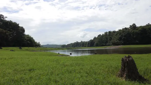
One of Kerala’s key birding landscapes on the Periyar river, east of Kochi.
Official source →Browse listed stays, food, activities, sights, shops and rentals around Ezhattumugham. Check each listing’s locality and contact the business directly for current arrangements.
A Palamattam stay in the Thattekkad area near Kothamangalam. Compare it as a base for a birding-focused trip rather than a Kochi city hotel. Ask about early breakfast, guide arrangements and transport to the intended birding site; a room booking does not establish sanctuary entry or an included guided walk.
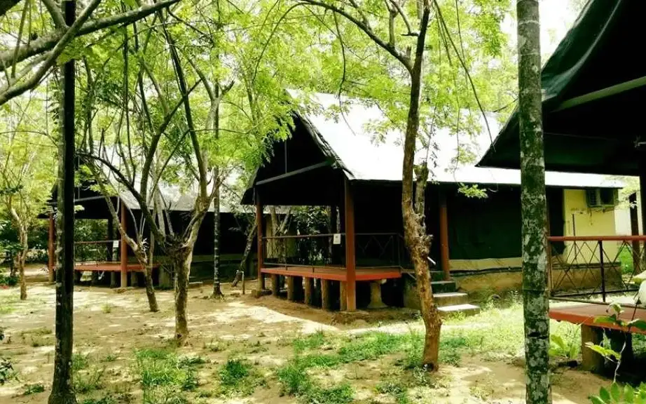
Tent-house accommodation at Palamattom, Thattekkad, with private bathrooms and balconies described for the tents. Choose it for the camp format, then check the exact tent position and current facilities. Birding, guides and sanctuary entry should be priced and arranged separately unless your quote explicitly includes them.
Book with the place itself. India’s cyber-crime coordination centre warned in April 2025 that convincing copies of hotel and pilgrimage booking sites are being pushed through sponsored search and social ads, taking payment for rooms the property never hears about. Use the contact and source details on each profile to confirm the exact business and booking channel. A directory entry or map pin alone does not establish an operator’s identity or current availability. Roampedia takes no commission and does not collect booking payments. If a booking page reached you through an ad, check the address bar against the property’s own site before you pay. Fraud can be reported on cybercrime.gov.in or on 1930.
8 more places around Thattekkad. Open a guide to plan the visit and onward journey.
A pedestrian suspension bridge across the Periyar near Kothamangalam, used for river and forest-edge views without treating the structure as an adventure ride.
A Bhagavathy shrine enclosed by a rare sacred grove near Perumbavoor, where worship etiquette and protection of the forest floor take precedence over recreation.
33.3 km · 49 min drive
A rocky eco-tourism stretch of rapids and evergreen forest on the Periyar river near Perumbavoor in eastern Ernakulam, with riverside forest trekking along the falls.
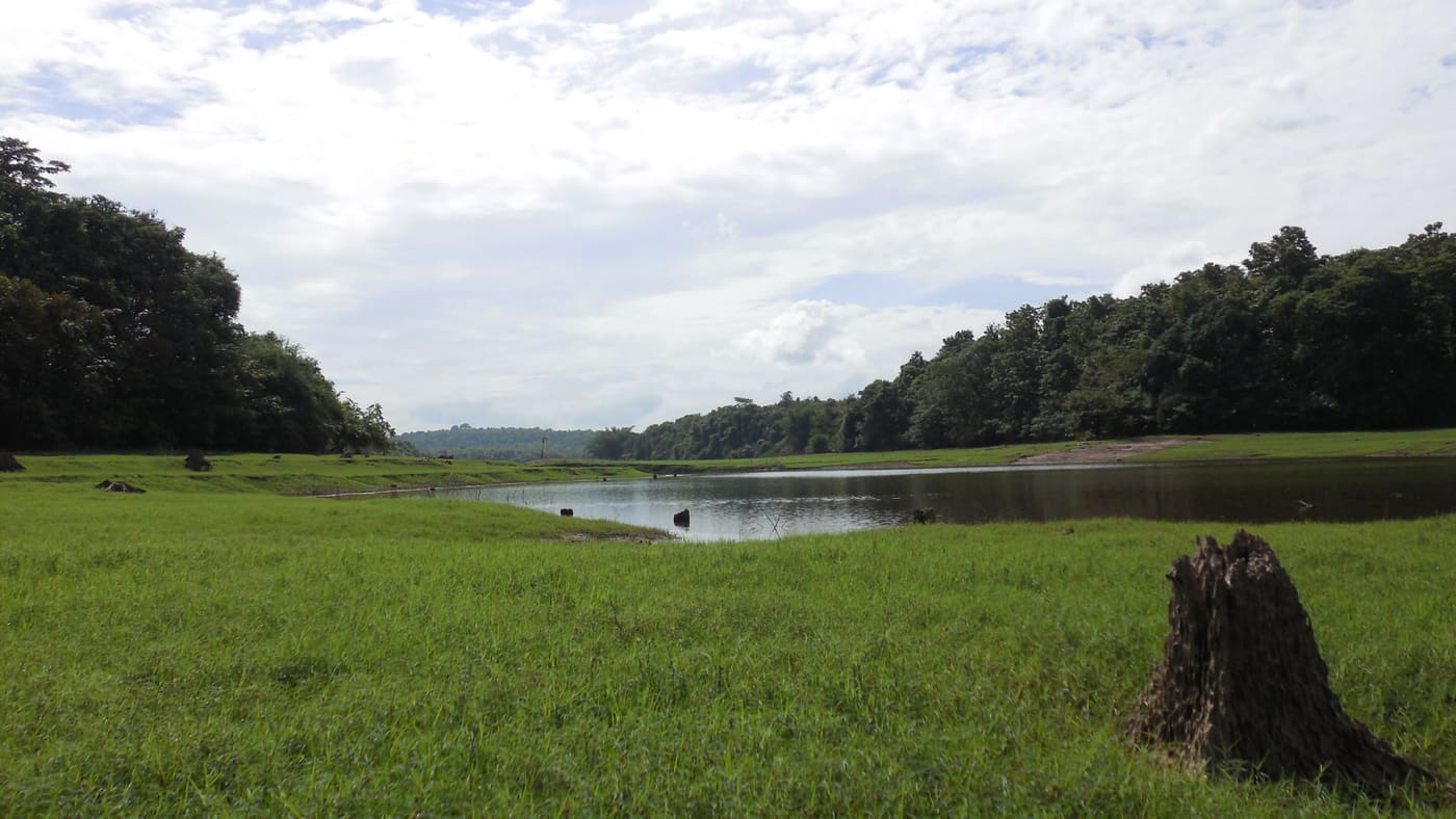
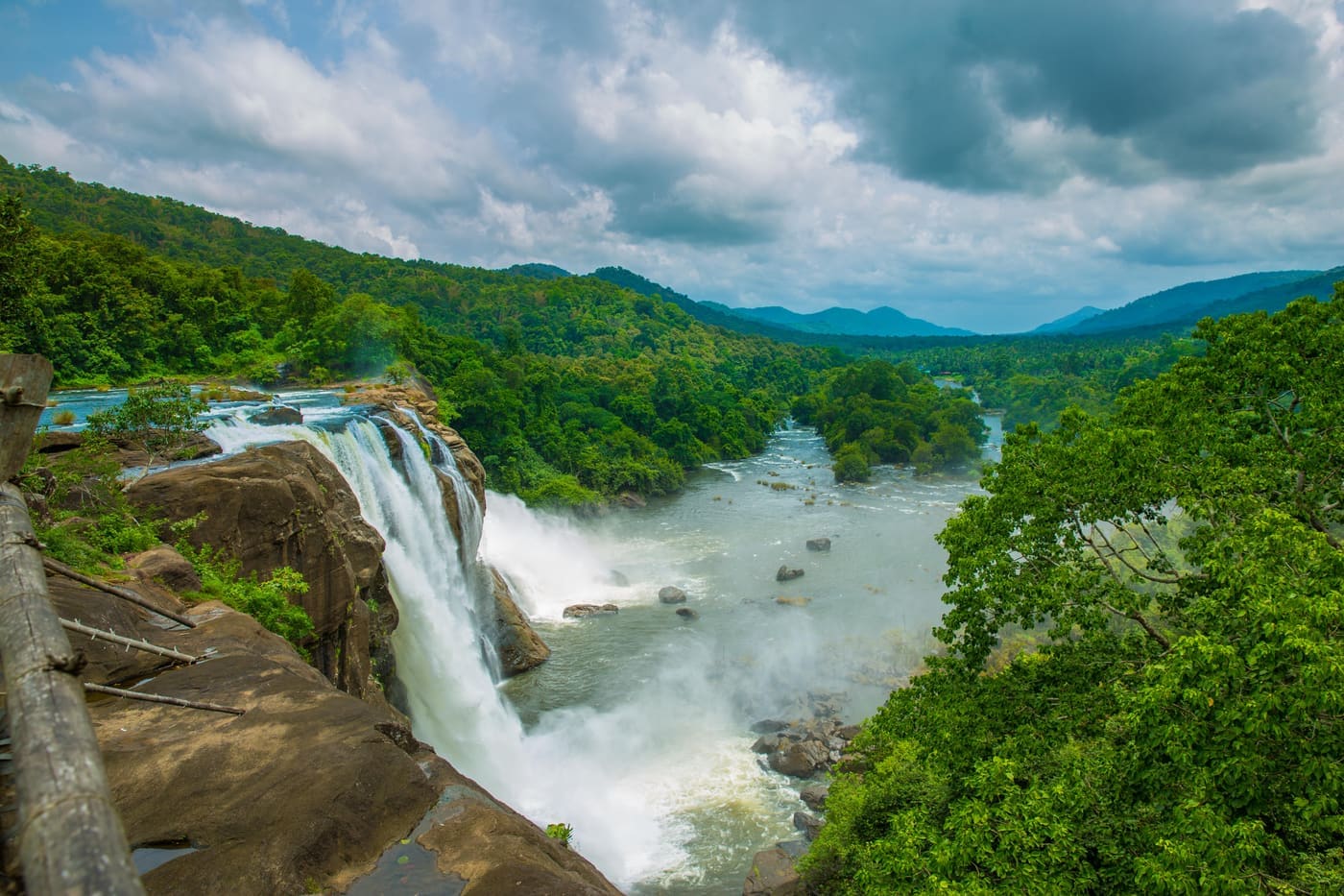
32.5 km · 52 min drive
Major waterfall often visited from Kochi, on the Chalakudy river side.
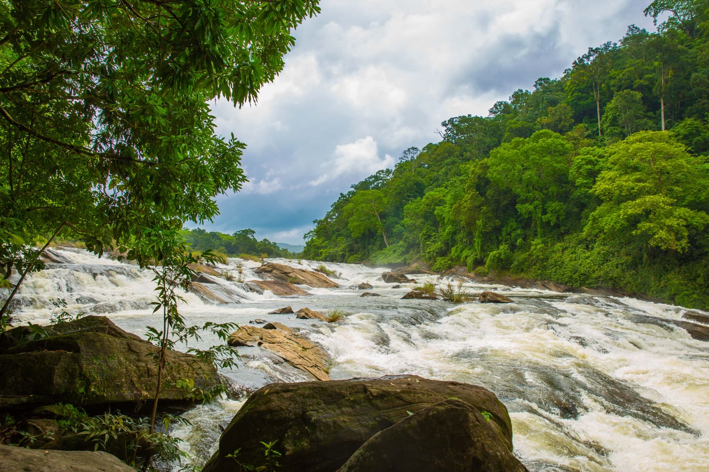
22.6 km · 26 min drive
A forest waterfall on the Chalakudy river just above Athirappilly, on the Sholayar forest road — often visited on the same Kochi day trip.
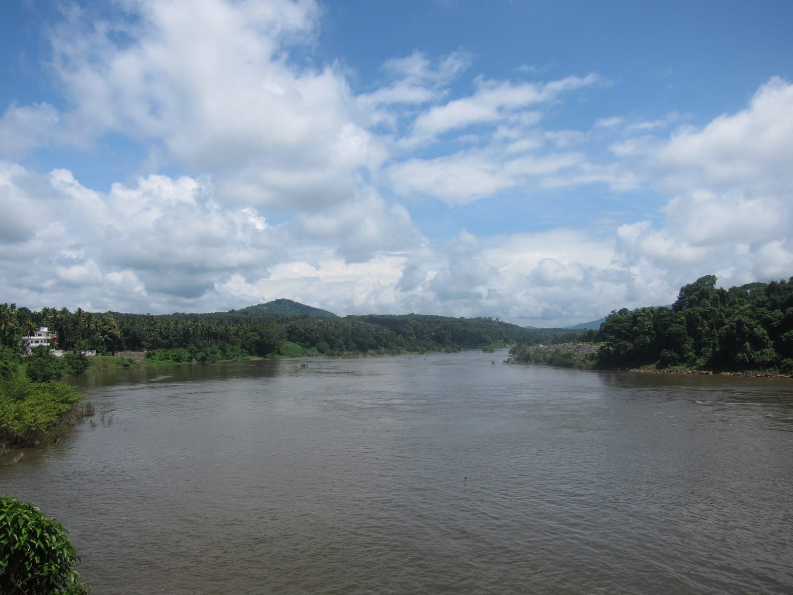
50.9 km · 58 min drive
A reservoir and dam at the confluence of the Periyar’s tributaries near Kothamangalam, on the edge of the Thattekkad forests, with forest-and-reservoir trekking around the barrage and a DTPC boat jetty.
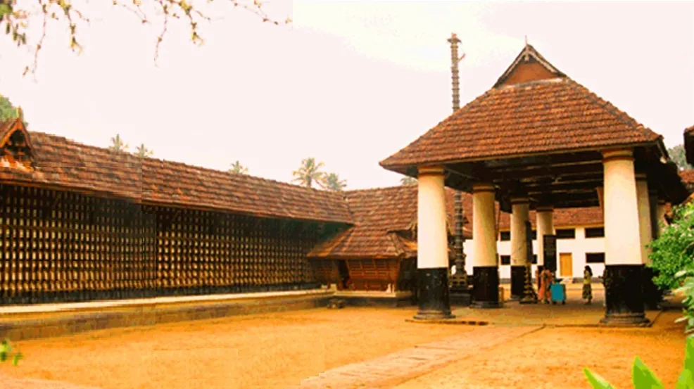
42.5 km · 49 min drive
A historic Shiva temple at Kothamangalam near the Thattekkad forests, one of the important ancient temples of the old Kochi region.
Roampedia is commission-free — own or know a stay, eatery, guide or shop near Ezhattumugham? Submit public business details for review.
Add a nearby businessEntry: Nominal park charge, commonly cited at around ₹10 per person, with roughly ₹20 parking and about ₹100 for a camera; riverbank access is generally free.
Dress code: No formal dress code. Wear light cotton and sturdy sandals or grippy footwear for wet, slippery boulders; carry a change of clothes if you plan to bathe. Dress modestly and respectfully if you pass any sacred grove or temple.
Festivals: No major festival is specific to the village itself; the surrounding region follows Kerala's usual calendar, with Onam (August–September) and Vishu (mid-April) the main cultural high points.
Photography: Very photogenic — the braided river, boulders and swaying bridge shoot beautifully in early-morning or late-afternoon light. A camera fee (around ₹100) may apply within the park. Take care with gear on the wobbly bridge and near the water.
If you are travelling by bus or ferry, check the return service with the operator before setting out. Leave time to reach the stop or jetty after your visit.
Ask at the bus stand for the time of the last service back, not the next one. If you miss it, an auto or app cab is the fallback — agree the fare before you get in.
If you need step-free access, contact the site before travelling. Ask about a level entrance, steps along the route, the nearest drop-off point, seating and accessible toilets.
Published emergency and visitor-assistance contacts. For an immediate emergency, call 112. Shared Kerala contact sources checked 4 October 2026; publication does not establish a tested live response.
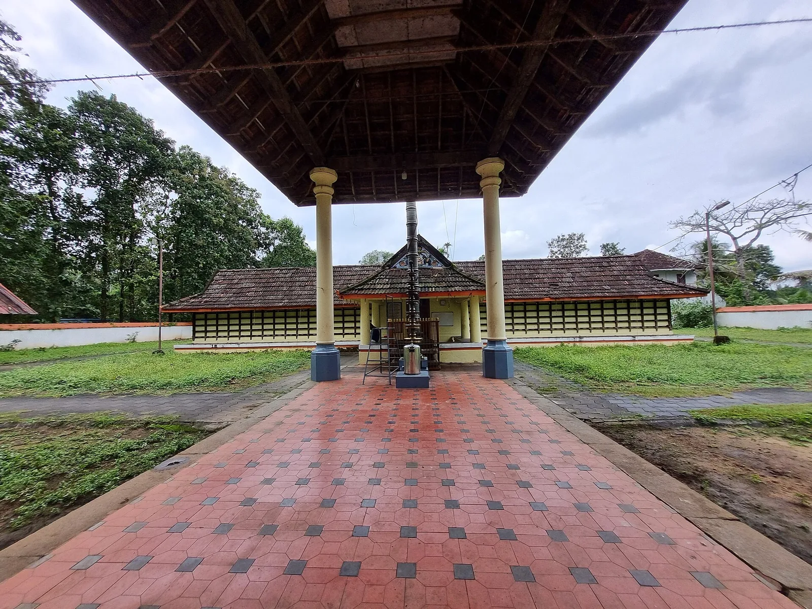
The Manickamangalam Devi temple north of Kalady, remembered as the shrine where Adi Shankara’s father Sivaguru served — the family connection, rather than the building, is why pilgrims come.
11.7 km · straight line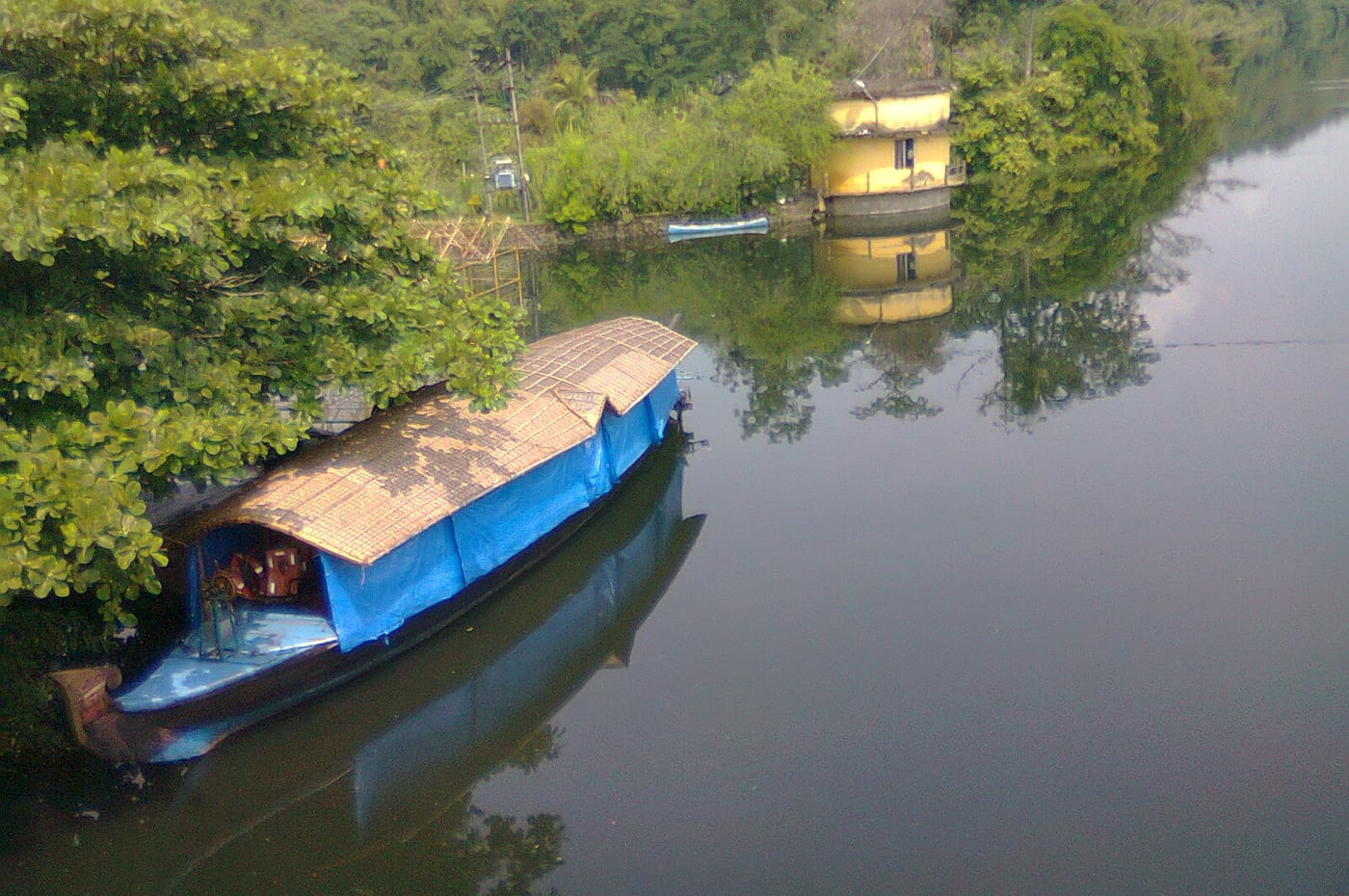
Kerala’s longest river, and the reason Kalady stands where it does — the Adi Shankara traditions of the crocodile and of the river changing course both belong to this water. Ghats and quiet riverside walks beside the birthplace complex.
13.0 km · straight line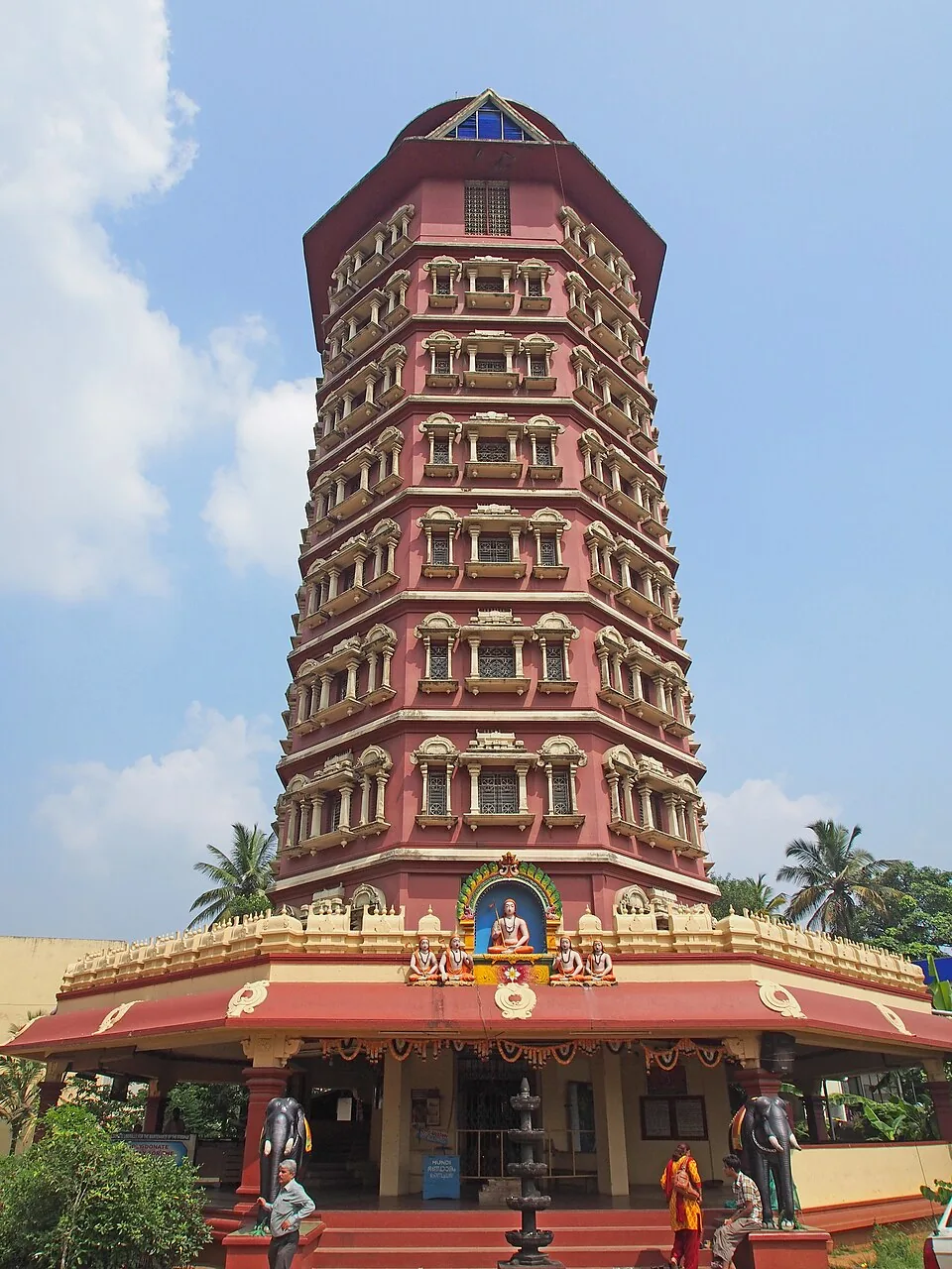
An eight-storey octagonal memorial tower to the philosopher Adi Shankaracharya at his birthplace, Kalady, on the Periyar river, dedicated in 1978 and run by the Kanchi Kamakoti Peetham.
13.1 km · straight line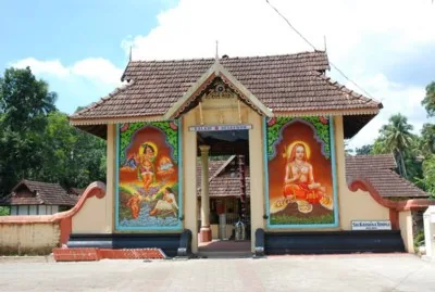
Adi Shankara’s family temple at Kalady, west of the Sringeri Math birthplace complex — the shrine at the centre of the story that gave the village its name.
13.2 km · straight line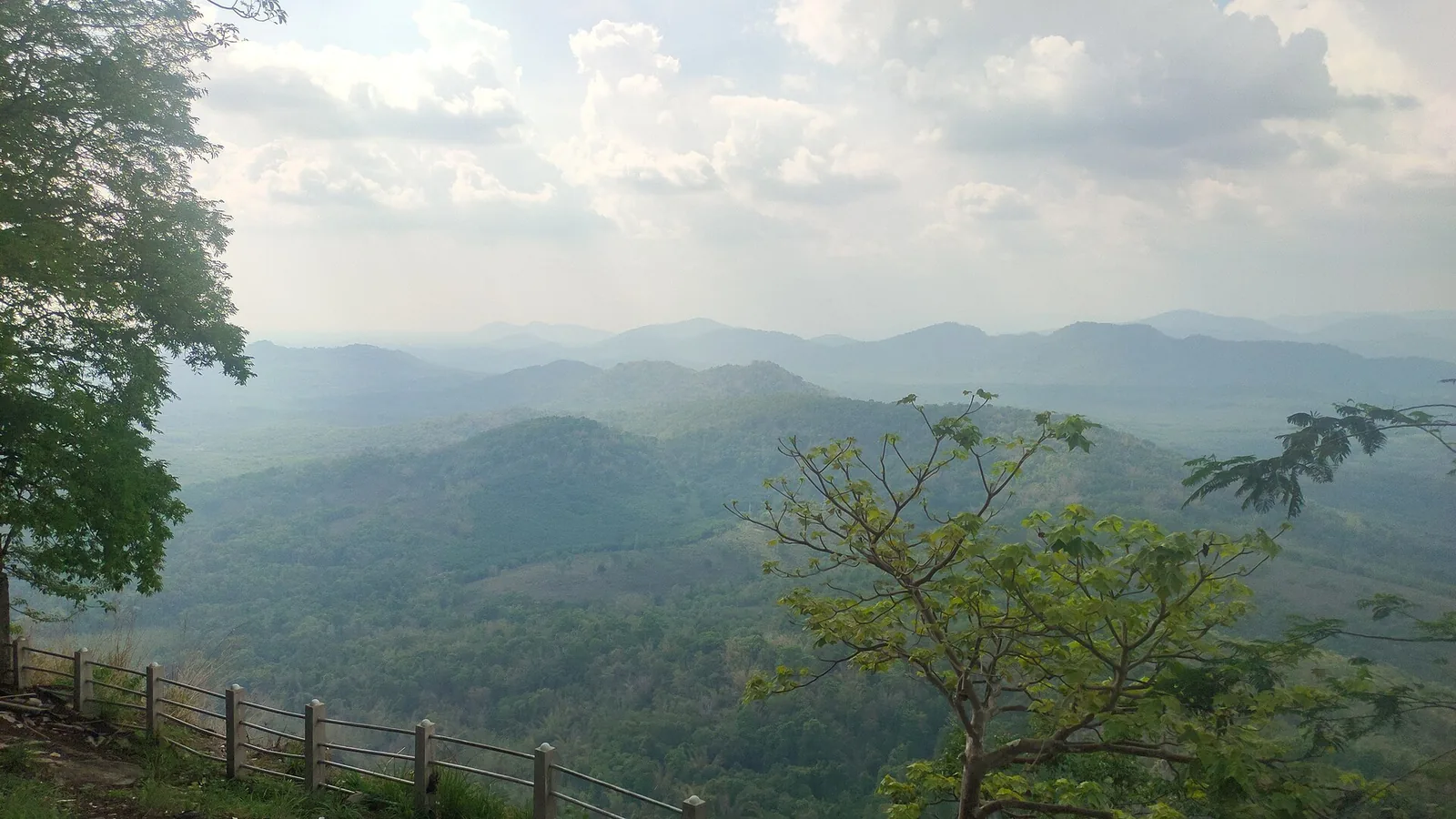
The St Thomas hilltop pilgrimage church near Kalady, a major Christian pilgrimage site drawing large Malayattoor Perunnal crowds.
13.8 km · straight lineA forest waterfall on the Chalakudy river just above Athirappilly, on the Sholayar forest road — often visited on the same Kochi day trip.
22.6 km · 26 min drive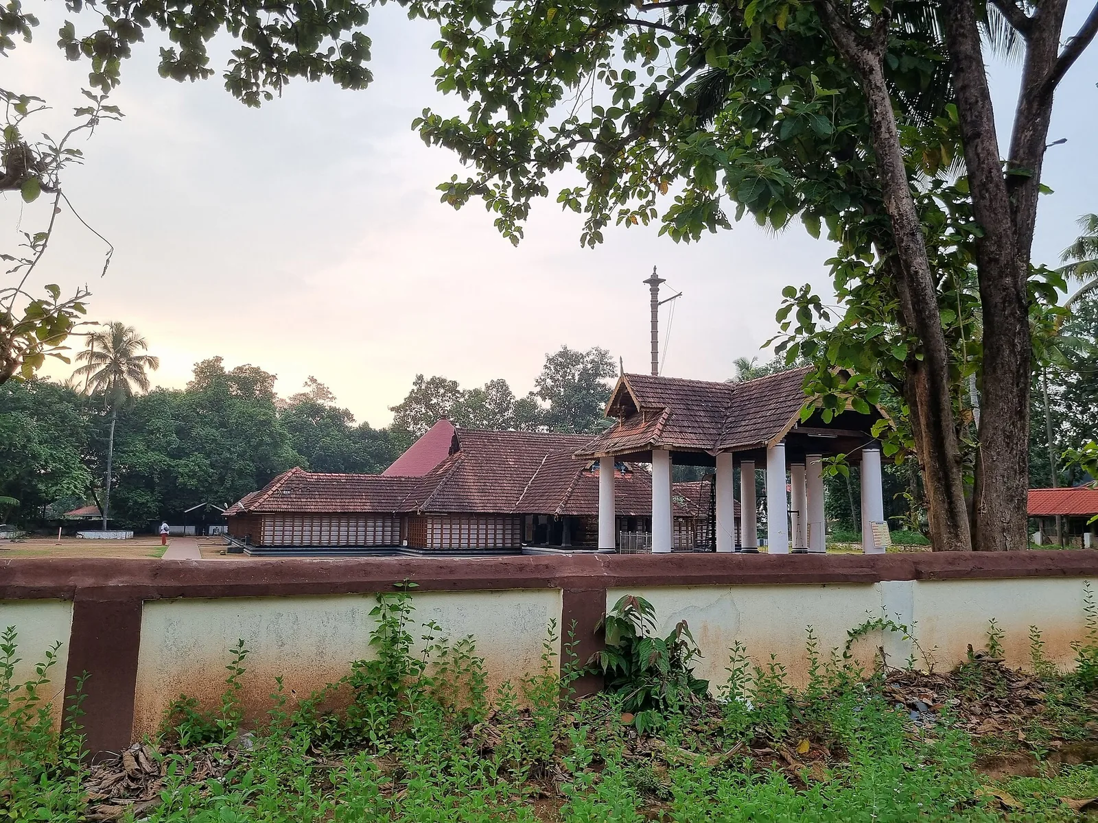
The only major temple to Vamana in Kerala, at Thrikkakara near Kakkanad — traditionally regarded as the origin place of the Onam festival.
30.0 km · straight line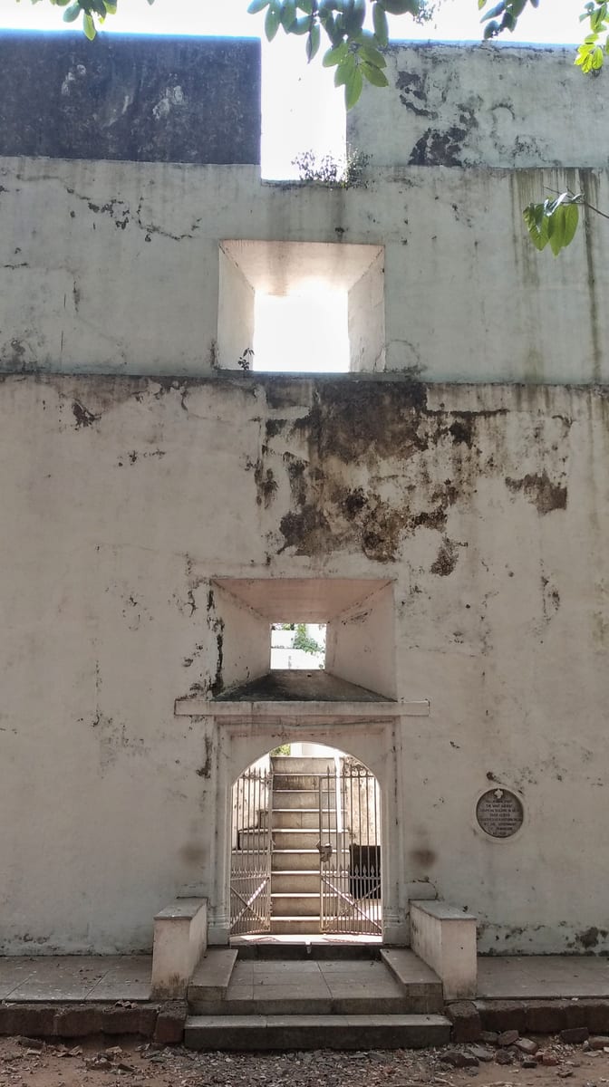
Built by the Portuguese in 1503 at the north tip of Vypin, the oldest surviving European fort in India — a hexagonal laterite tower now protected as a monument.
30.4 km · straight lineMajor waterfall often visited from Kochi, on the Chalakudy river side.
32.5 km · 52 min driveA rocky eco-tourism stretch of rapids and evergreen forest on the Periyar river near Perumbavoor in eastern Ernakulam, with riverside forest trekking along the falls.
33.3 km · 49 min driveA historic Shiva temple at Kothamangalam near the Thattekkad forests, one of the important ancient temples of the old Kochi region.
42.5 km · 49 min driveA reservoir and dam at the confluence of the Periyar’s tributaries near Kothamangalam, on the edge of the Thattekkad forests, with forest-and-reservoir trekking around the barrage and a DTPC boat jetty.
50.9 km · 58 min driveRoad and walking figures are route estimates, with travel times dependent on access, traffic and conditions. Figures marked “straight line” show direct separation and do not describe a road or walking route. Fare estimates use Kerala’s 26 April 2022 auto/taxi notification and exclude waiting, night and applicable one-way surcharges. Confirm the current meter or operator quote before travelling. Routing: © openrouteservice.org by HeiGIT | Map data © OpenStreetMap contributors
Roughly September to February is ideal: the monsoon has passed, the Chalakudy runs lower and clearer, and you can safely walk out over the boulders and islets, with pleasant weather from December to February. The river is at its fullest and most dramatic during and just after the monsoon (around June to August), but the current is strong then and wading or bathing is best avoided. Early morning and late afternoon give the softest light for photography.
Ezhattumugham–Prakriti Gramam is a managed park with a nominal charge — commonly cited at around ₹10 per person, with roughly ₹20 for parking and about ₹100 for a camera. Simply visiting the riverbank areas is generally free. Carry small cash, as digital payment cannot be relied on at a rural counter.
This part of Kerala is dotted with sarpa kavu — small patches of deliberately untouched sacred forest set aside for the naga, or serpent deities, often beside ancestral homes and riverside villages. As legend has it, the groves are the serpents' abode and are left wild out of reverence, which has helped preserve native trees, springs and soil. Treat any such grove you encounter with respect: do not enter, pick plants or disturb the idols. It is a living folk tradition rather than a ticketed attraction.
Yes — there is a boating facility on the river, and in the low-water season the shallow, boulder-strewn stretches are popular for wading, swimming in natural rock pools and picnicking. Take local advice before entering the water and avoid it during and soon after the monsoon, when the current is strong. Keep a close eye on children near the river at all times.
They sit on the same Chalakudy River, with Ezhattumugham downstream of the falls, and are commonly paired: Athirappilly is roughly a half-hour to 45-minute drive away. A popular loop is the thundering Athirappilly and Vazhachal falls for the morning, then Ezhattumugham's calm braided river and Prakriti Gramam for a gentler afternoon.
Thattekkad, Kerala's famed lowland bird sanctuary near Kothamangalam, lies in the same broad region of Ernakulam district and is reachable as a day-trip pairing, though the drive is longer than the Athirappilly hop. Birders often string Thattekkad, Athirappilly and Ezhattumugham together into a central-Kerala nature circuit.
Thrissur. The Chalakudy is the district boundary here, and the butterfly garden sits on the Thumboormuzhi side with the check-dam; Ezhattumugham Prakriti Gramam is the Ernakulam bank. The hanging bridge is the crossing between the two, so walking it means leaving the district. Kerala Tourism lists the Thumboormuzhi garden as the largest butterfly garden in the state.
Sources say more than 140 and also about 184, and neither figure is recounted often enough to settle it. The species regularly named are consistent: the southern birdwing (India's largest butterfly), the common rose, the lemon butterfly and the light and dark blue tigers, drawn in by planted host and nectar species including pagoda flower, Mexican heather, rattlepods and flame lily.
It is a managed footbridge and it is meant to sway — that is what a suspension span does under moving weight, and it is the main reason people cross it. Reported figures put it at roughly 250 metres long and about 10 metres above the water, though those numbers come from tourism listings rather than from an engineering source, so treat them as indicative. Take it slowly if you are uneasy with heights or motion, and hold the handline.
October to March is best for comfortable boat trips; monsoon is greener but weather can disrupt plans.
Entry: Nominal park charge, commonly cited at around ₹10 per person, with roughly ₹20 parking and about ₹100 for a camera; riverbank access is generally free. Timings: The Prakriti Gramam eco-park generally operates daytime hours (roughly morning to evening), while the open riverbank stretches are accessible through the day; exact park timings vary seasonally.
Base yourself in Thattekkad or a nearby town in Ernakulam, then confirm the last-mile route locally before leaving. Plan boat timings first, then arrange road transfer around the departure point. If the visit depends on forest, temple, boat, ferry, weather or seasonal access, check the official/local rule on the day before travel.
2 hours to a full day; overnight if using a houseboat area.
Nearby you can pair Karthyayani Devi Temple (11.7 km, approximate straight-line separation), Periyar river (13.0 km, approximate straight-line separation), Adi Shankara Keerthi Sthambha Mandapam (13.1 km, approximate straight-line separation), Sree Krishna Temple (13.2 km, approximate straight-line separation).
Use operators with life jackets and clear weather judgement. Avoid overloaded boats.
Written about Ezhattumugham itself — its history, its legends and the arguments about them.
These guides explore Thattekkad and the surrounding area. Choose a visit that fits your interests, allowing separately for travel between stops.


Route-level itineraries and practical guides for the rest of Kerala.
Photographs: Ranjithsiji (CC BY-SA 4.0), Vinayaraj (CC BY-SA 4.0), CookBooc (CC BY-SA 4.0), Dil Shad Roshan (CC BY-SA 3.0). Wikimedia Commons.