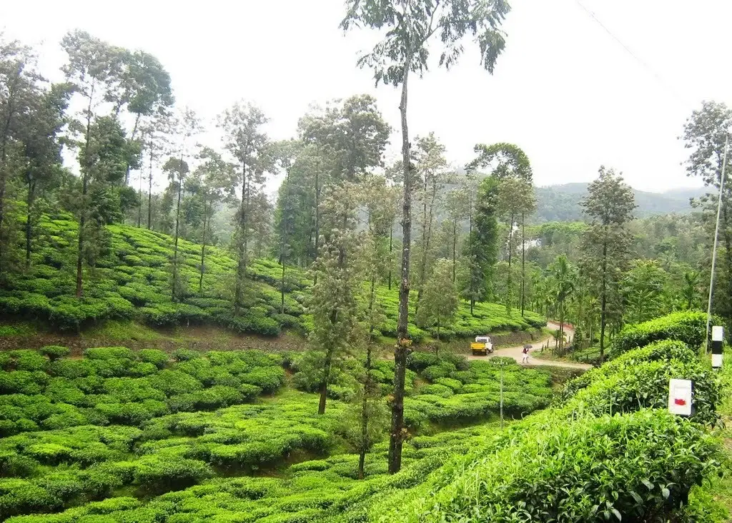
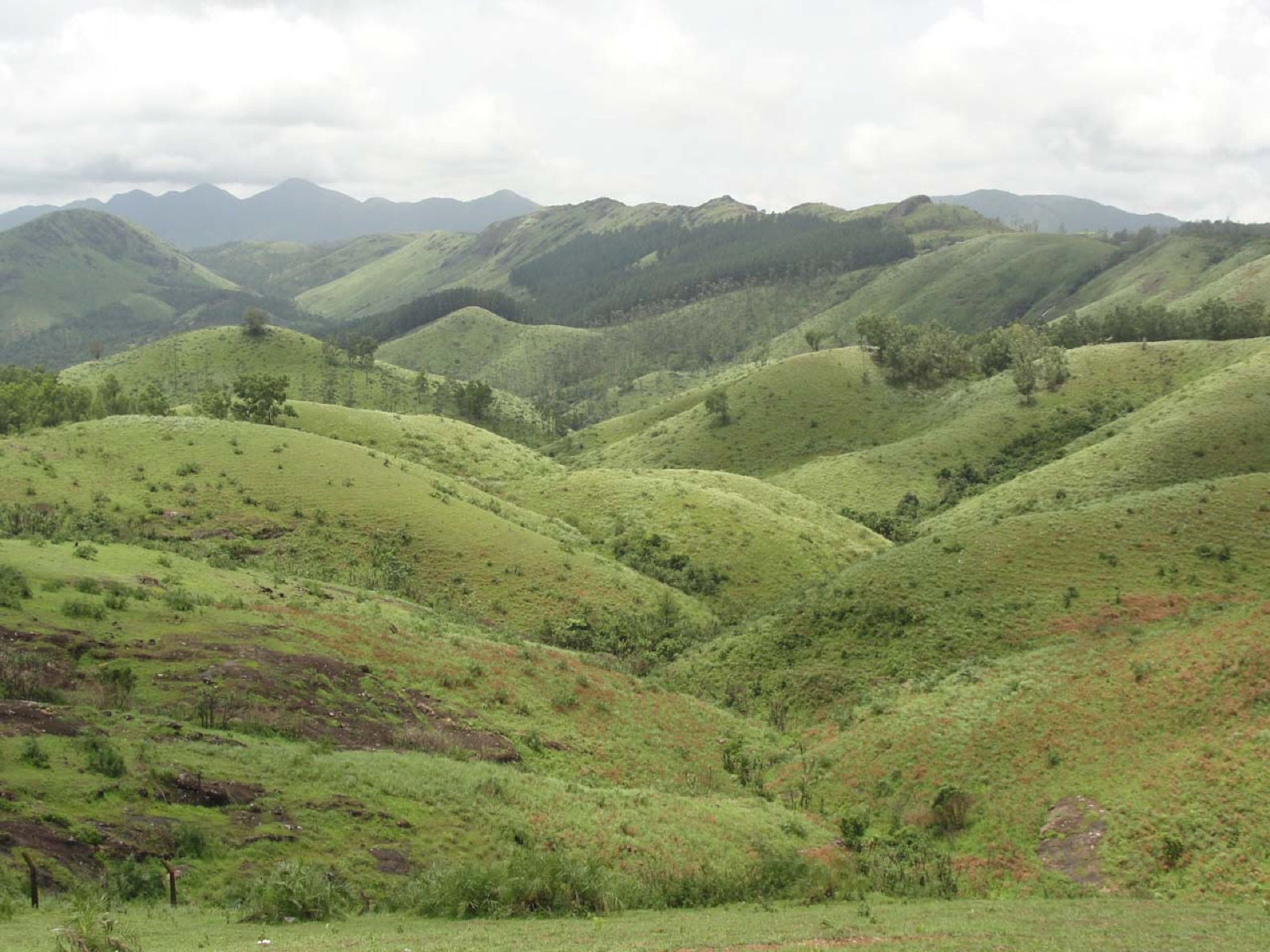
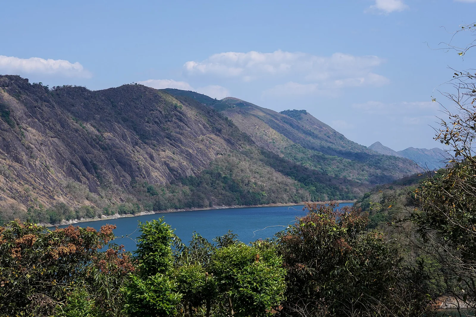
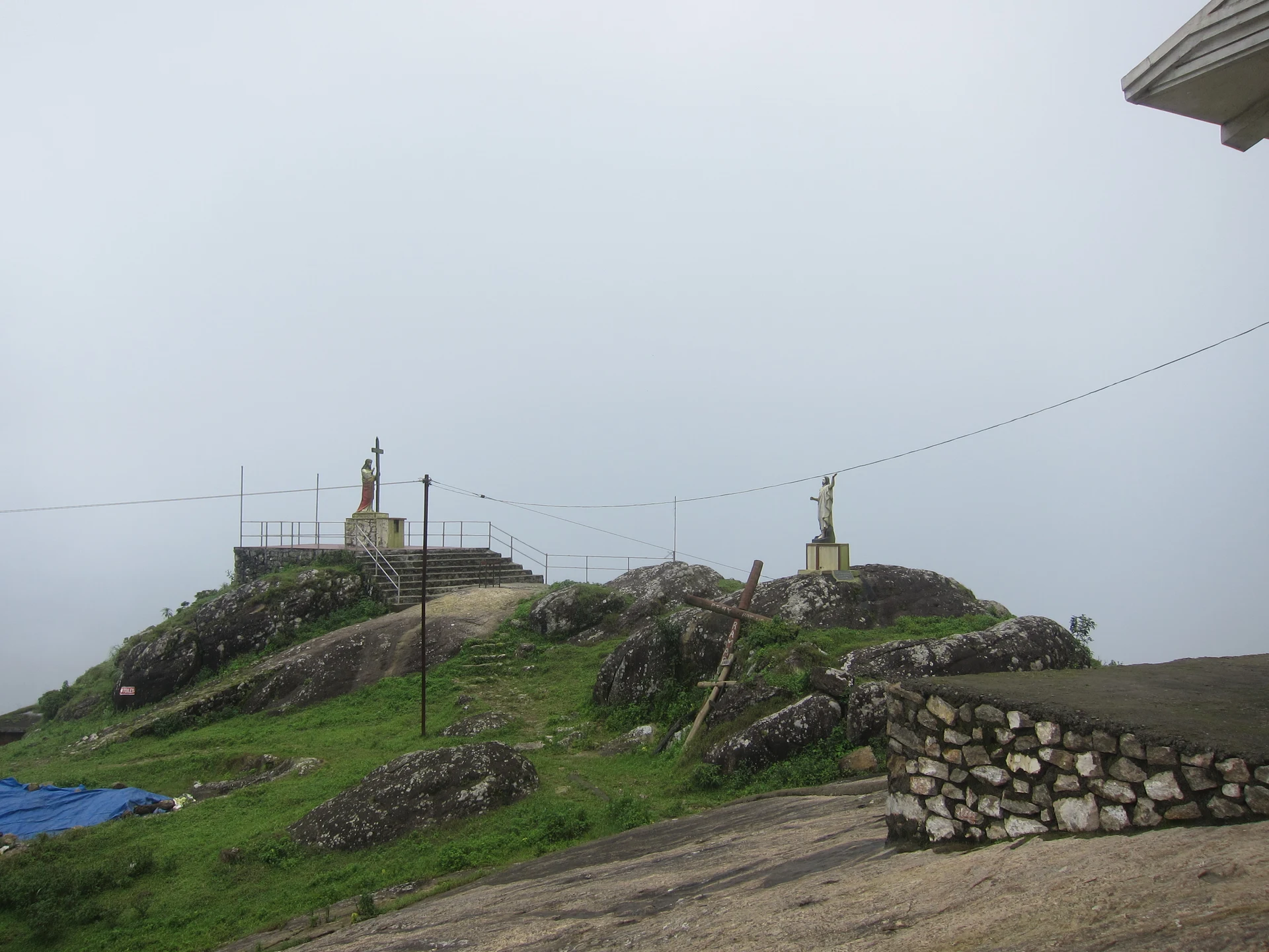
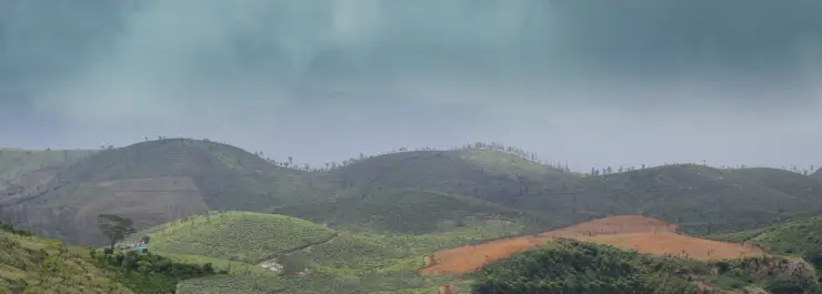
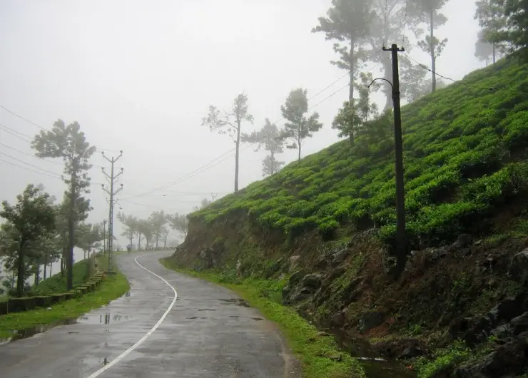
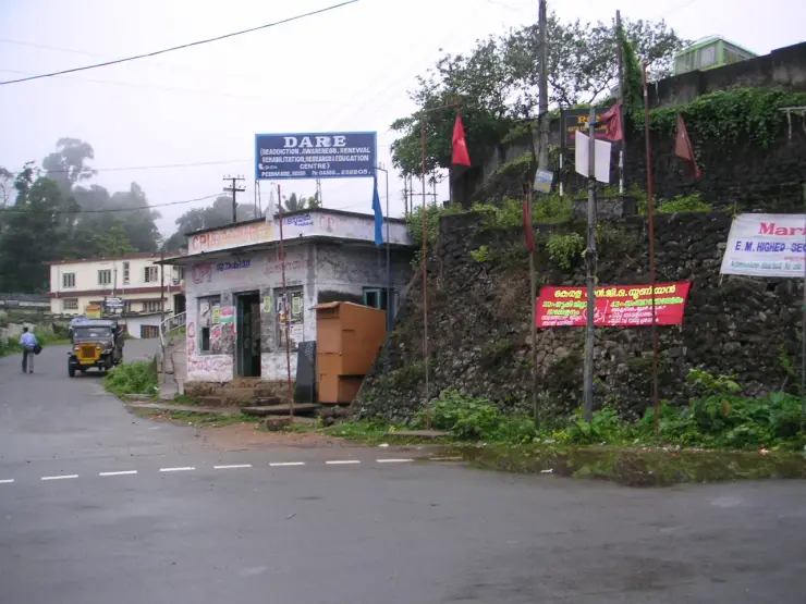
Peermade is easiest to recognise in the details beside the road: a tea hedge bending around a slope, a shaded picking lane, a bridge over a rocky stream and buildings set above retaining walls. The landscape is inhabited and worked. Its quiet moments happen within that everyday movement, not beyond it.
The story of Peermade
Peermade is a settlement and a surrounding highland landscape in Idukki district. Peerumedu and Peermede are common alternate spellings; Peermade taluk is the larger administrative area. The map here uses the town centre as a practical visitor base. It does not identify a summit, an estate gate or an entrance to a formally enclosed hill station. That distinction matters when a search result makes several widely spaced places appear to be one attraction.
The Kottayam–Kumily road gives the town its travel role. From the lower country, the journey climbs through the Mundakkayam side towards Kuttikkanam and Peermade, continuing towards the plantation settlements and Kumily beyond. Peermade is therefore both somewhere to stop and somewhere people pass through for work, education and trade. The shops and transport activity are part of the place rather than an interruption to its scenery.
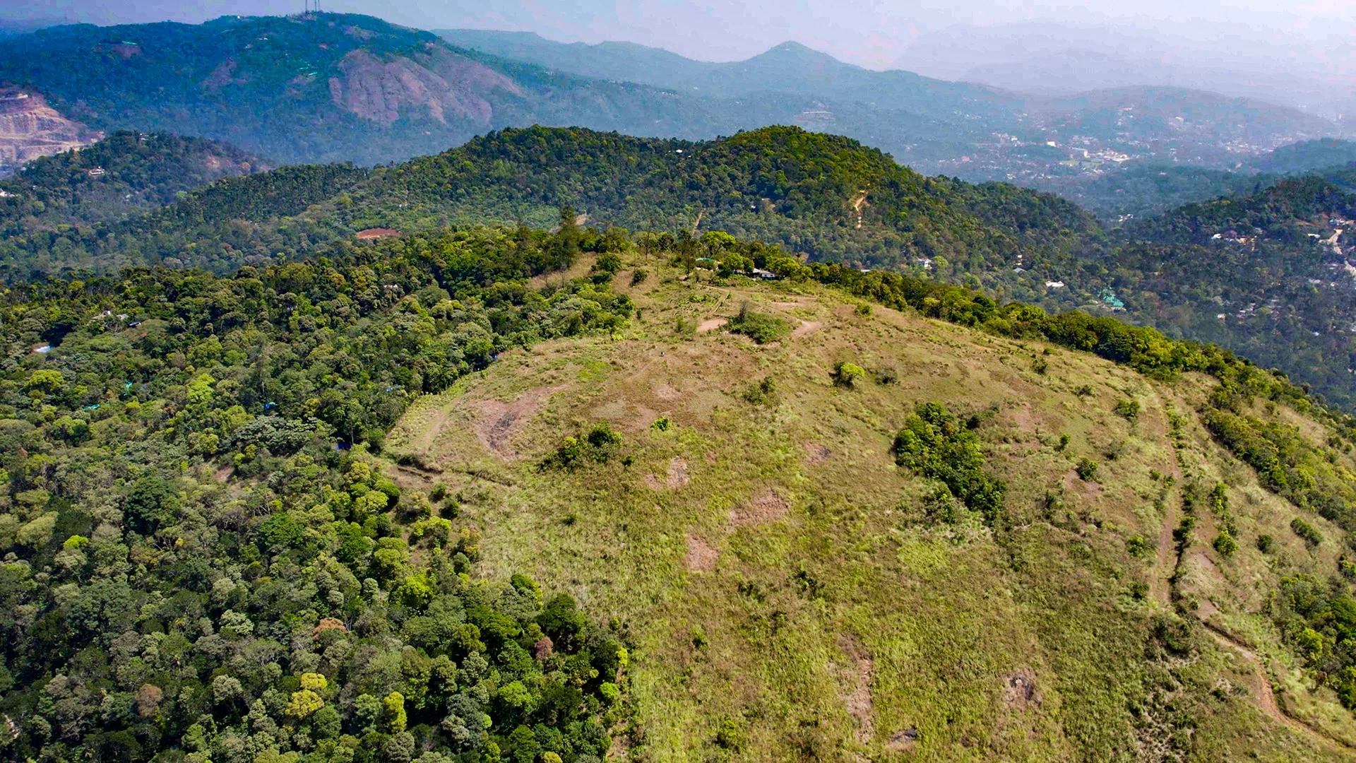
Kerala Tourism describes the destination at about 915 metres above sea level. Treat that as a broad settlement elevation, not an exact measurement for every room, road bend or nearby hill. The surrounding terrain rises and falls, and Kuttikkanam and other neighbouring sites have their own elevations. Cooler air, moving cloud and wet slopes can be part of a visit without promising a uniform temperature across the whole district.
The tea landscape is visibly organised. Low bushes make continuous picking surfaces, taller trees interrupt the rows, and narrow lanes connect sections to larger roads. Looking at those lanes changes the interpretation of a tea view: the slope is not just a pattern of green curves, but a crop that must be reached, maintained and collected. A worker or leaf vehicle has priority on an estate route, even when a visitor has permission to walk there.
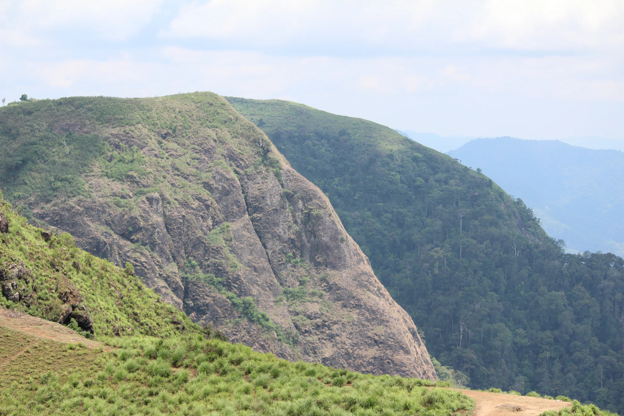
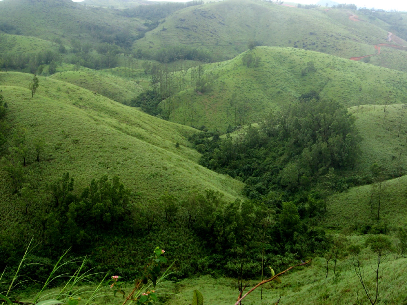
Not every green hillside is tea. Tree cover, scrub, gardens and other cultivated ground sit beside the more recognisable clipped fields. A useful visit pays attention to the boundaries and transitions rather than naming every distant patch from a moving vehicle. The tea hedge is identifiable close up through its maintained height and rows; a shaded wooded slope requires more care before calling it a particular spice plantation.
Water also divides the landscape into smaller places. Streams pass under roads, disappear behind vegetation and reappear around rocks. Older and newer bridges around Peermade make those crossings visible. From a public crossing, the relationship between a stream, masonry support and road deck can be read without entering the channel. After rain, the same rocky bed can carry much stronger flow than an old photograph suggests.
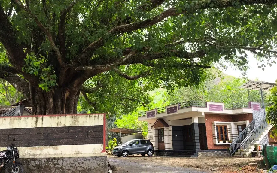
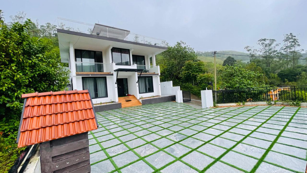
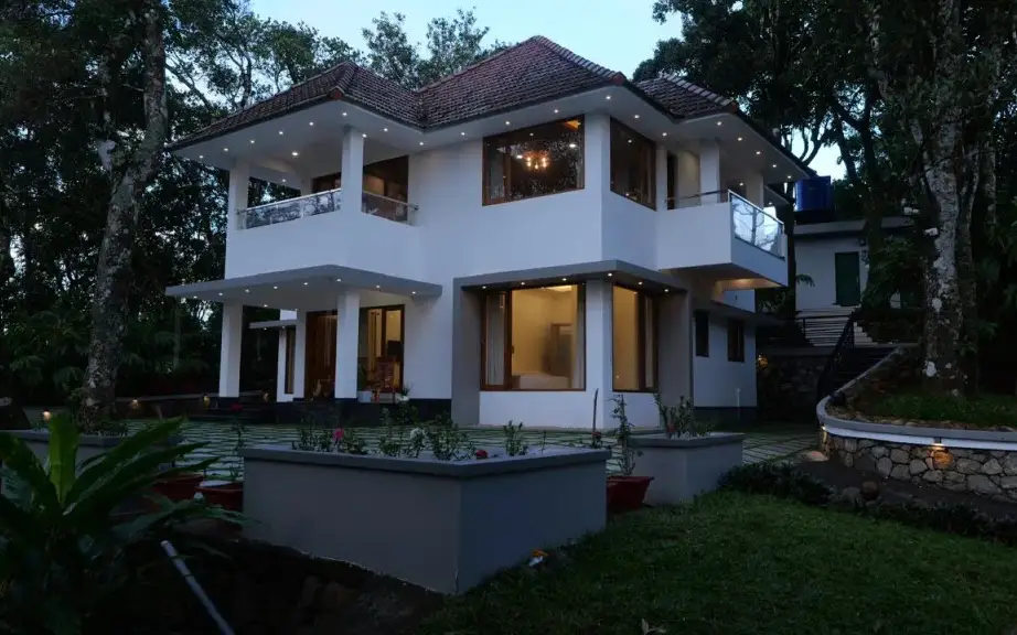
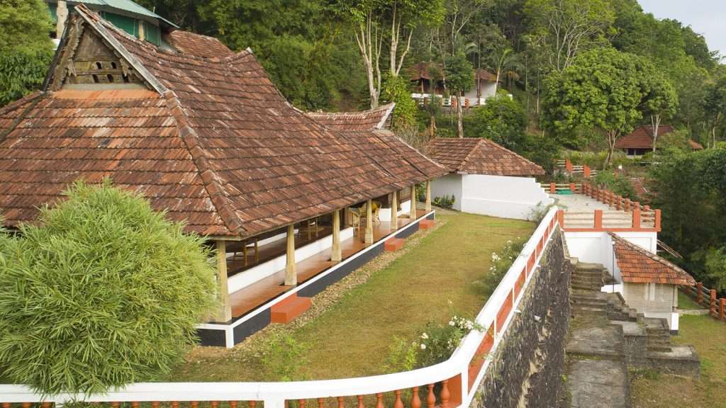
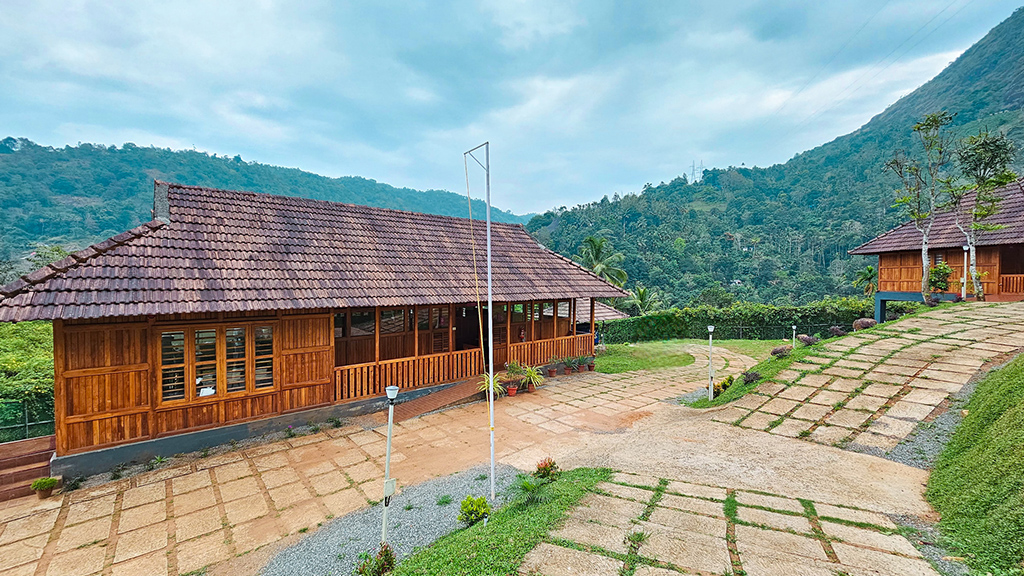
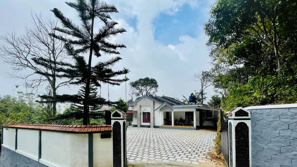
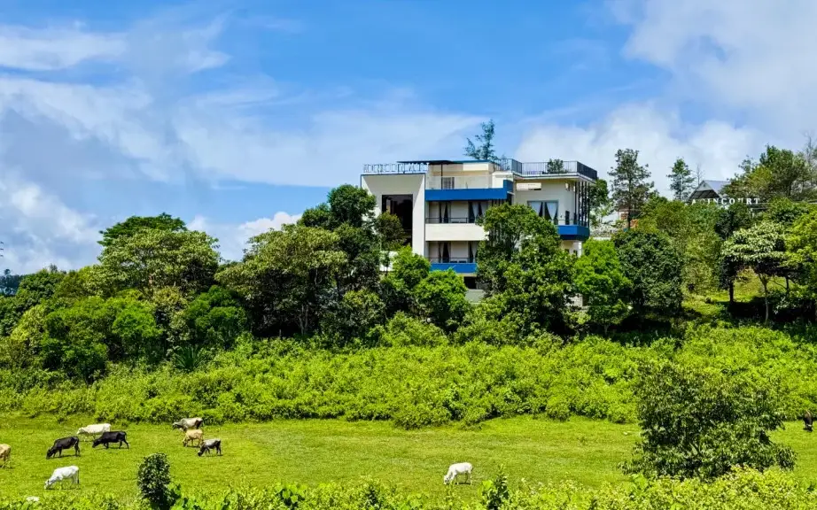
The town’s buildings often sit above or below road level, held by banks and retaining walls. That vertical arrangement is part of walking here. A café that appears adjacent on a map may require steps; a room above the road may have a steep final approach; a public-office address may be easy to reach by vehicle but awkward with luggage. Choose the actual entrance and gradient rather than assuming a town-centre pin means a level pedestrian district.
Kuttikkanam is close enough to be a natural companion to Peermade, but it remains a separate settlement with its own junctions, institutions and accommodation. Kerala Tourism places it about 3 km from Peermade in its regional brochure. The number is useful for understanding their proximity, not as a universal doorstep distance. A driver still needs to know which town and which property is intended.
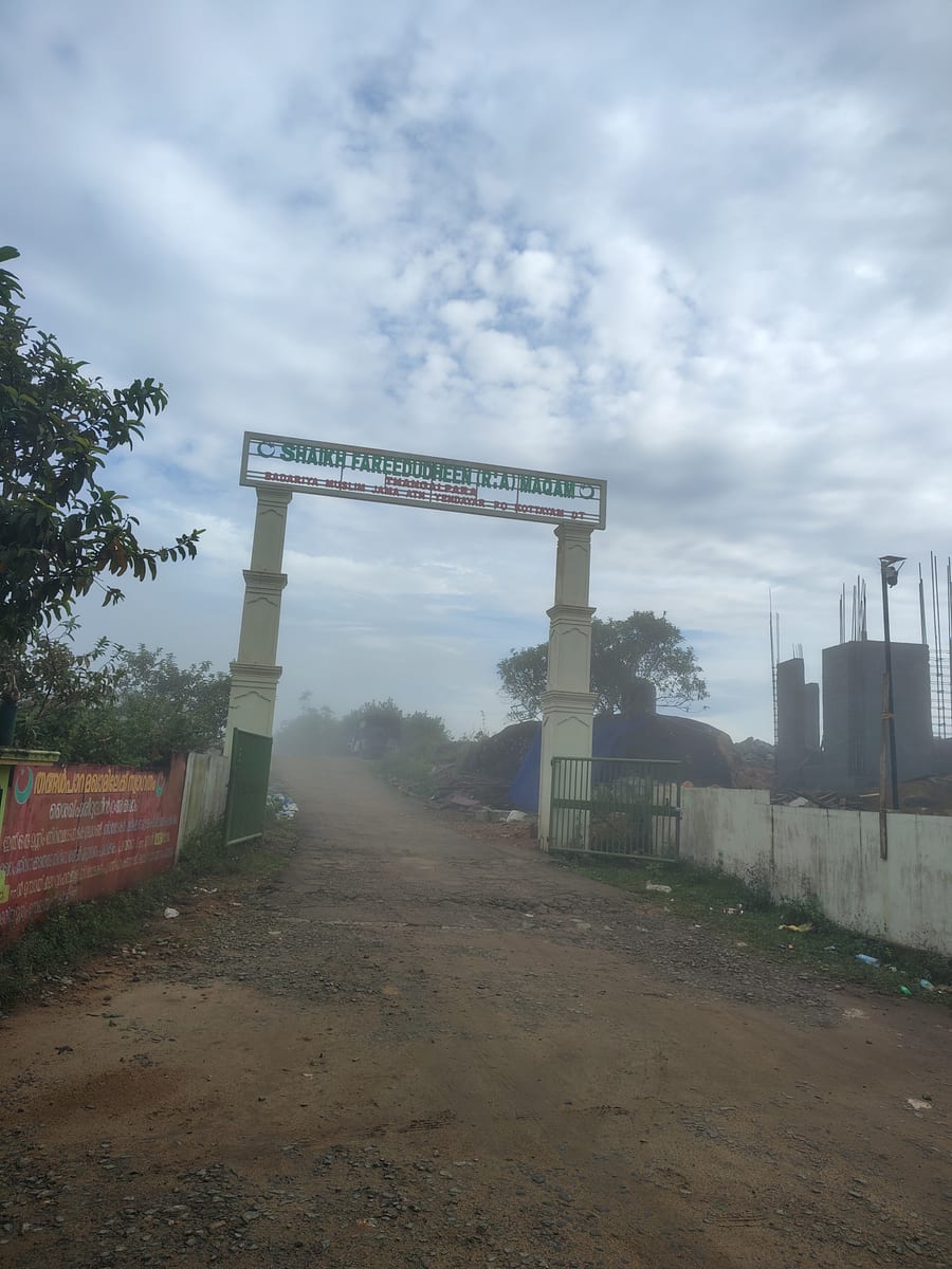
Peeru Hills is another distinct name in the local landscape. Tourism sources associate it with Peer Mohammed, as they do the settlement’s name. A town-centre visit does not itself bring a traveller to the associated hillside or memorial. If that is the purpose of the day, use the named site and establish its current access; do not follow an assumed path from a broad Peermade marker.
The nearby royal-residence story also needs precise boundaries. Kerala Tourism describes a Peermade summer palace associated with Travancore and separately identifies Ammachikkottaram as private property. These buildings are not a single public palace campus. An old account of a caretaker showing visitors around is historical visitor information, not assurance that a door is open today. The buildings can inform an understanding of the plateau without promising an unarranged interior visit.
Pallikkunnu’s St George’s CSI Church provides a more specific institutional landmark in the plantation belt. Kerala Tourism dates the church to 1867 and connects it with Henry Baker Junior. That is a reason to understand the area’s nineteenth-century history, while remembering that it is an active church with its own worship and visiting arrangements. It should not become a generic decorative chapel in a Peermade photo itinerary.
Peermade differs from Thekkady in the purpose of a visit. A Thekkady plan often centres on a booked Periyar Tiger Reserve activity and its reporting time. A Peermade plan can centre on the settlement, plantation landscape and an individually arranged heritage stop. Being on a route towards Kumily does not put the town inside the reserve or include a forest programme in an overnight stay.
It also differs from an itinerary built around Vagamon’s named viewpoints, meadows and activities. Peermade is more readily read through its transport corridor and working cultivation. A traveller looking for a particular adventure activity should book the actual operator and destination instead of expecting every Idukki hill town to offer the same list. The distinction makes a shorter, more coherent visit possible.
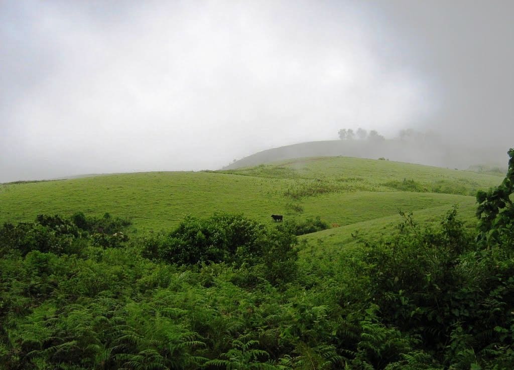
Mist is both a visual condition and a transport constraint. It can soften a distant slope while leaving the nearby tea hedge sharply visible; a few minutes later it may remove the far view entirely. A sensible visit then shifts its attention towards the settlement or an indoor stop, rather than driving from bend to bend in pursuit of a vanished panorama. The landscape is still present, but the day’s scale has changed.
Legend & myth
The name Peerumedu is traditionally connected with Peer Mohammed, a Sufi figure remembered in the local landscape and in Kerala Tourism’s account. His association with traders and Travancore royalty is part of that received history. The place-name story should be presented as an association preserved locally, without inventing a documented date of arrival or claiming that a picturesque anecdote proves the origin of every nearby name.
Read the full history of Peermade 412 more words
History
Kerala Tourism’s history of Peermede describes a nineteenth-century shift towards plantation agriculture, naming Henry Baker Junior among the figures associated with coffee cultivation and the later development of tea. The broad agricultural change is well established in the destination’s history. Specific “first estate” claims, family genealogies and precise experimental acreages should not be treated as settled merely because they recur in travel summaries.
Roads and crossings belong to that plantation history. Moving a harvested crop, supplies and people requires dependable access between slopes and the lower towns. The older bridge structures photographed at Peermade are tangible reminders of successive transport arrangements. A visible inscription or an individual bridge’s documented construction record is needed before assigning it a date; weathered masonry alone cannot supply one.
The existence of a plantation landscape should not be narrated as the discovery of empty land. Estate work depended on labour and on communities whose lives extended beyond the names of owners and missionaries. For a present-day visitor, workers’ lanes, housing and collection routes are parts of a living economy. They deserve the same privacy and respect as residential and working spaces elsewhere.
The district administration continues to list Peermade as a taluk and revenue centre. That contemporary civic role helps explain why the town has offices, schools and regular movement beyond tourism. The regional name on an official address may refer to the larger taluk; it should not be used to locate every institution at the same town-centre point.
The plantation-era church at Pallikkunnu and the Travancore summer-residence accounts show that the plateau accumulated several kinds of institution. Religious work, cultivation, administration and seasonal residence left different traces. A history-led outing is strongest when it chooses one trace to examine properly, with permission where needed, instead of treating every old-looking building as an open heritage attraction.
Why visit
To see a highland town as a place of work and movement: tea slopes, road crossings and civic life make Peermade more than a viewpoint between larger destinations.
To spend time with a plantation landscape at close range through a permitted estate visit, observing the difference between a scenic hillside and the access network that supports a crop.
To build a modest heritage circuit around a specifically identified church, bridge or royal-residence site, with each location’s current access understood before arrival.
To break the journey between the Kottayam side and Kumily with an overnight stay that allows time for changing light and weather instead of relying on one brief roadside view.