A tall waterfall above Aryankavu, four kilometres inside the trees, reached by a bus the village runs. Palaruvi means stream of milk, and it earns the name at moderate flow — in full spate the water is brown. Nobody has ever measured it.
The story of Palaruvi Waterfalls
Palaruvi sits on the eastern edge of Kollam district near the hill village of Aryankavu, close to where Kerala hands over to Tamil Nadu. What is usually said about getting there is wrong, and it matters, because it changes how you plan the day.
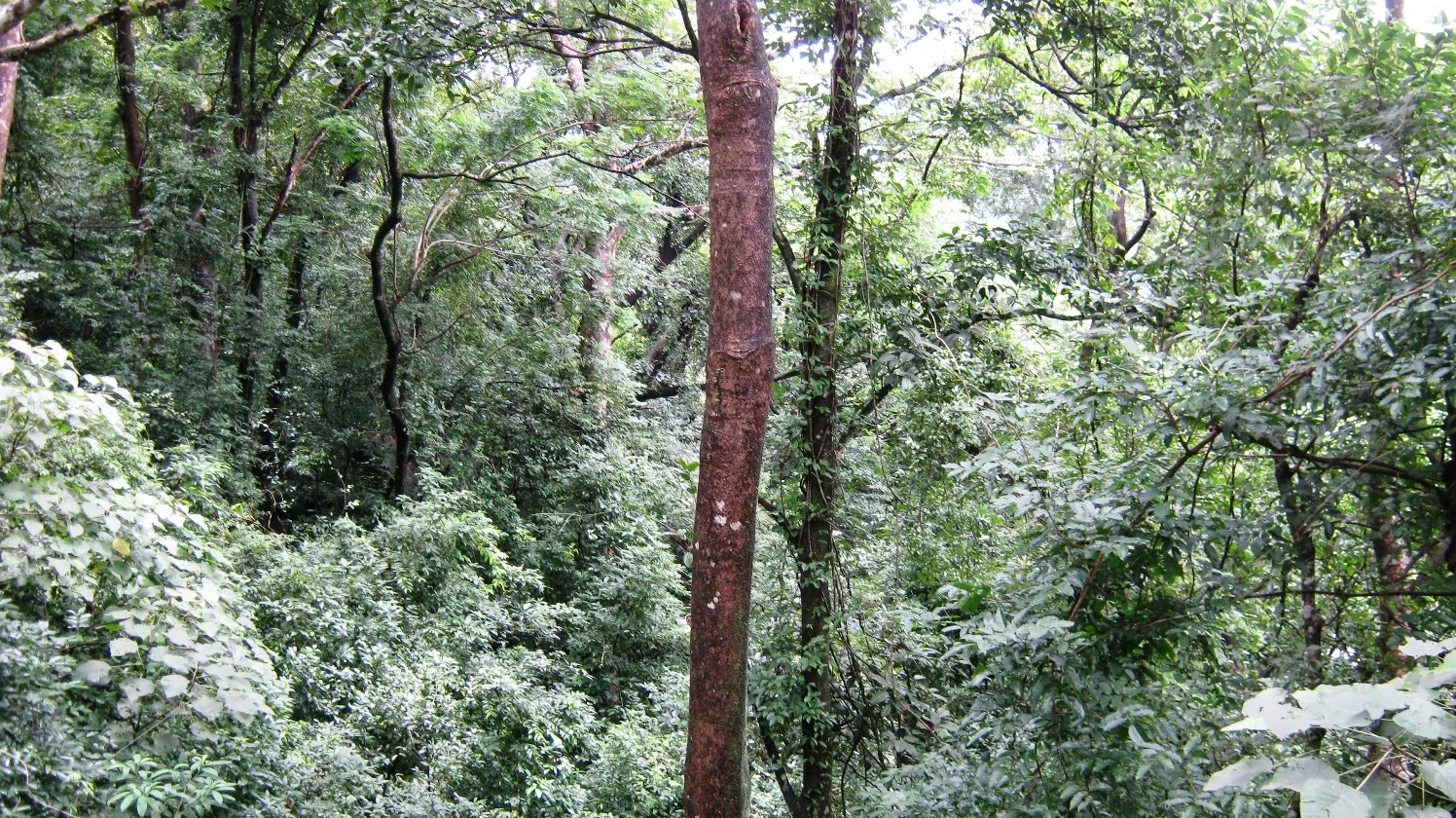
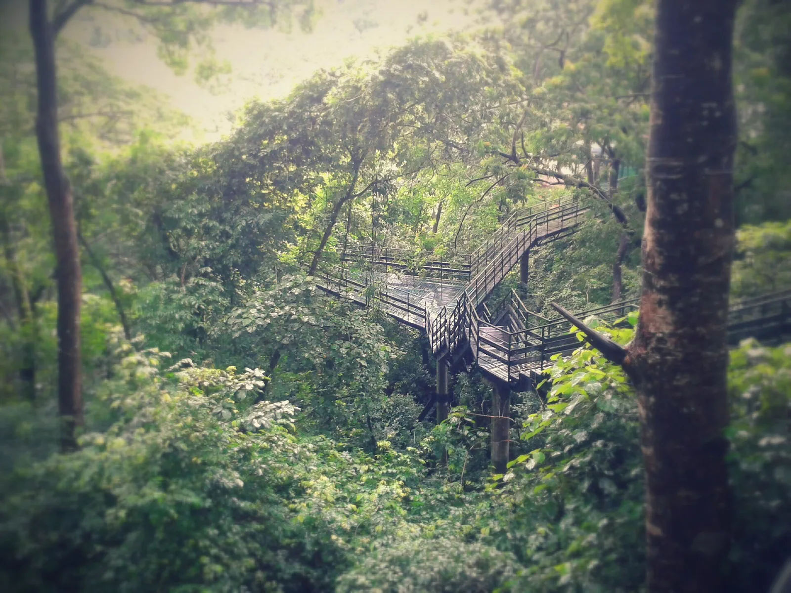
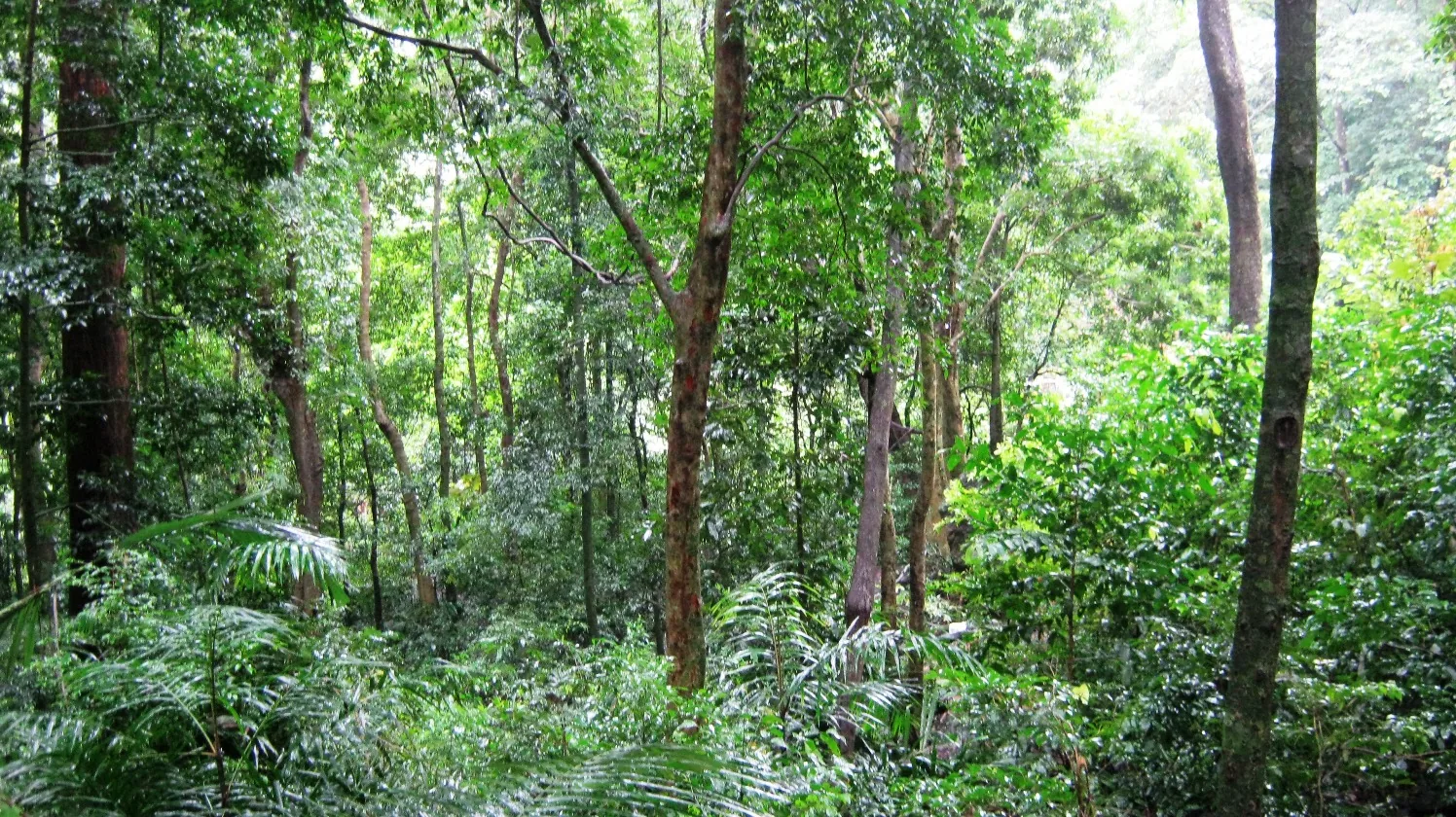
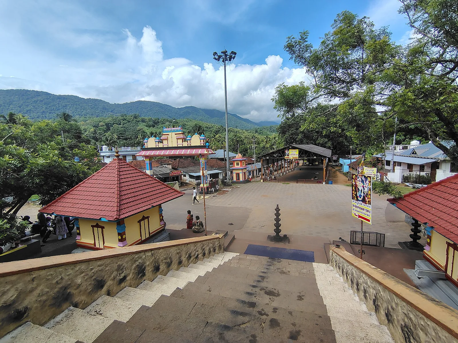
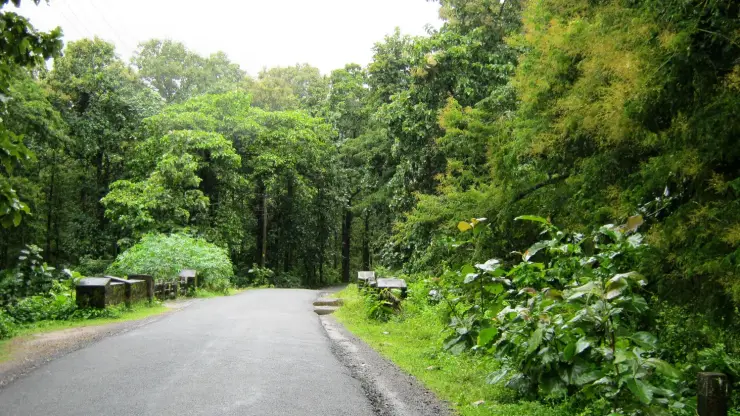
You do not drive to a car park and walk half a kilometre. You stop at the ticket counter on the highway at Palaruvi Junction, on the Kollam–Shencottah road, and you buy a round-trip ticket. Private vehicles are not permitted beyond the gate. An eco-tourism vehicle then carries you about four kilometres in through the trees — three of them in the fleet, two 38-seat vans and a 25-seater — and you walk the short last stretch to the water. The ride is part of the visit, and it is the reason the trees either side of the road are intact.
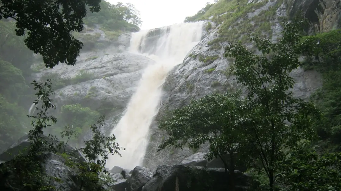
The name is a small poem in Malayalam: pal is milk, aruvi is stream. It describes what the eye sees at moderate flow, when the water breaks white all the way down. It is worth knowing that in full monsoon spate the falls are not white at all — the photographs from a heavy August show a brown torrent. The milk is a middle setting.
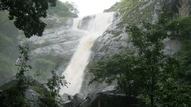
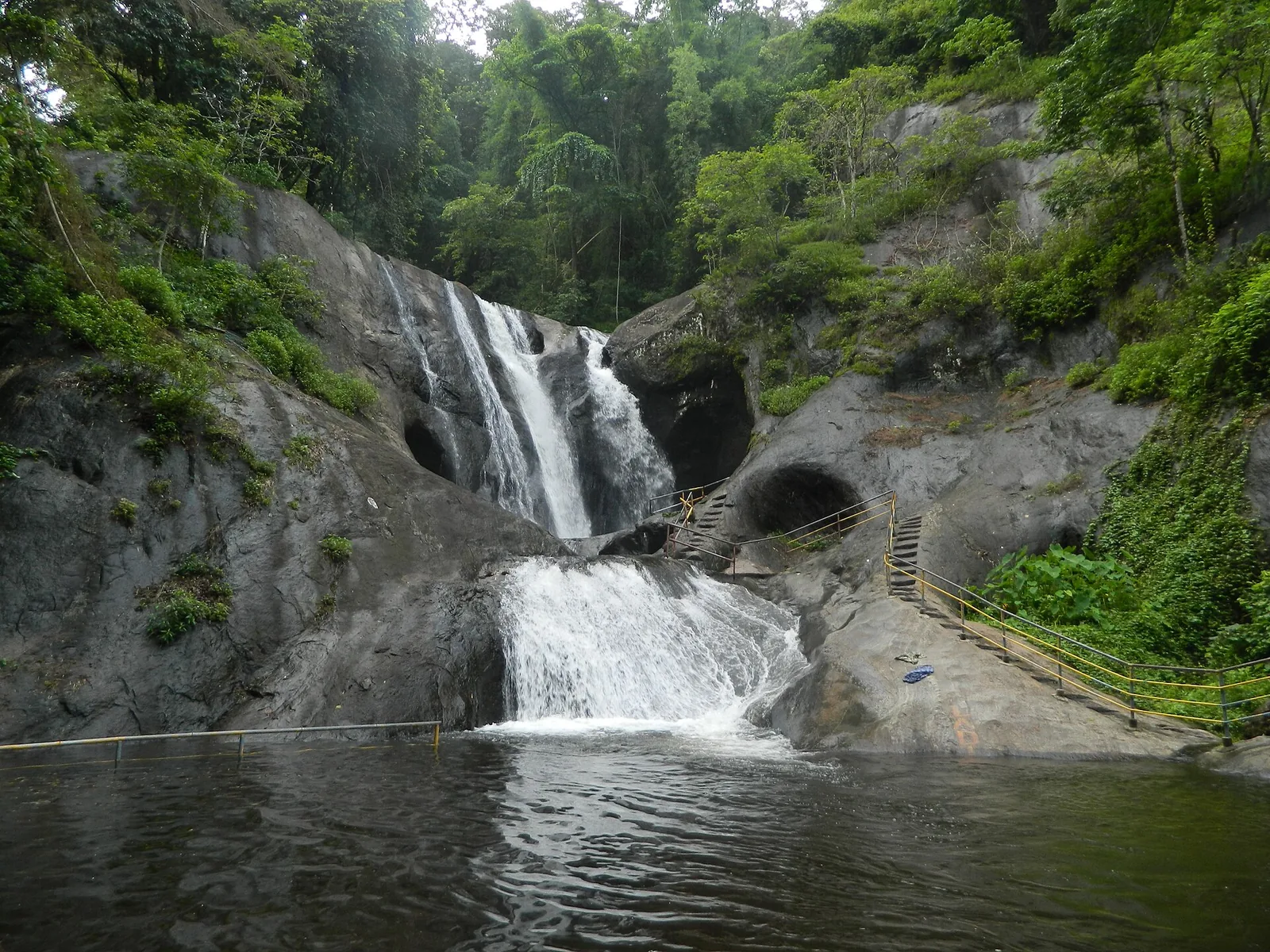
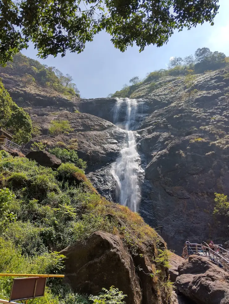
And it is not a single vertical plunge, whatever the listings say. Look at it properly and there is an upper chute, then a broad convex apron of granite that the water spreads and slides across, then a lower cascade, then a rocky run-out. Stepped, not sheer. The classification of it as a single-drop horsetail fall comes from the same dead database as the height figure.
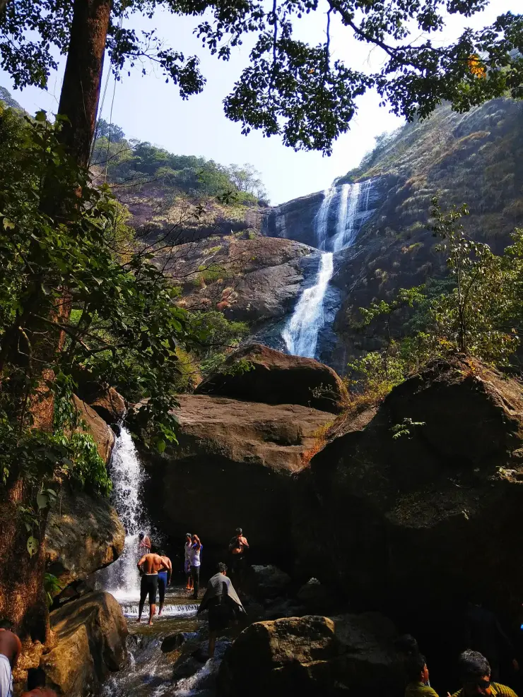
The pool at the base is the heart of the visit and always has been. Generations of families have come here to stand under the water; the bathing areas and changing rooms are segregated, with the women's area a little downstream, and all of it was renovated before the 2026 reopening. Lifeguards and guides are on site and red warning boards mark the limits on the rocks. On weekends the boulders fill with picnickers from Kollam and Thiruvananthapuram and pilgrims breaking the journey to the Aryankavu temple.
The river deserves a correction too. This is usually called the Kallada, which is not quite wrong but throws away the better fact. At the falls the watercourse is the Kazhuthurutty, one of the three headstreams of the Kallada, and Malayalam Wikipedia is more specific still: the falls form where three hill streams — Manjutheri, Karinallathiyezh and Rajakkoopp, rising in the Rajakkoopp hills — come together, which it glosses as the beginning of the Kallada river. Palaruvi is where the river that ends 121 kilometres later in Ashtamudi, past Munroe Island, is born.
For all its beauty this is a seasonal feature in the literal sense, and it is the single most important thing to know before you drive out. In 2026 the falls closed on 15 February because the water ran out, and reopened on 25 May when the monsoon brought it back. That is fourteen weeks shut — in the dry season, not the wet one. Strongest flow is June to January.
One administrative note, since tourism copy blurs it: Palaruvi lies on the south-eastern slope of the Aryankavu Range of Thenmala Forest Division. Thenmala Range, Aryankavu Range and Shendurney Wildlife Sanctuary are sibling units of that one division rather than the same forest, so the two do not, strictly, share a reserve — they share an administration.
Legend & myth
Nobody has measured Palaruvi.
Four bodies publish a height for it and all four publish the same number in the same unit: about 300 feet. Kerala Tourism says it on its destination page and again on its campaign page. The Kollam district administration says it. DTPC Kollam says it. Malayalam Wikipedia says it in the body text. Not one of them gives a figure in metres, and not one cites a survey.
So where does the 91 metres you will see everywhere come from? Watch the arithmetic, because you can do it yourself. Three hundred feet is 91.44 metres exactly. Someone rounded that to 91. English Wikipedia's infobox then converted the 91 back into feet — 91 divided by 0.3048 is 298.6 — and printed 91 metres (299 ft). That 299 exists nowhere in the world. It is a round guess, converted, rounded and converted back, and it lost a foot in the wash. Every 91 metres on the internet is a restatement of one unsourced about 300 feet.
We looked for a real figure: a Forest Department measurement, a Survey of India spot height, a metric number from Kerala Tourism. There is none that we could find, and we would rather say so than repeat a number as though it had been measured. The one source with somebody actually standing at the falls — the local paper reporting the May 2026 reopening — printed 250 feet.
The ranking is worse. Several databases are said to place Palaruvi around 32nd in India. There are not several databases. There is one, the World Waterfalls Database, and it is dead.
English Wikipedia says 32nd highest waterfall in India, cited to that database. Malayalam Wikipedia says fortieth, cited to the same database. Two encyclopedias, one waterfall, one cited source, two different answers eight places apart. The two articles even cite two different record numbers for the same falls — 608 and 702 — which suggests the database listed Palaruvi twice, and a site that lists a waterfall twice cannot produce a stable rank. That is very plausibly how one editor read off 32 and another read off 40.
And the source is unreachable in every direction. Both citations are flagged as dead links. Both archive links point at WebCitation, archived in 2012 — and WebCitation itself no longer works; fetching either returns a bare stub. So the sole authority for both the height and the rank of this waterfall is a website that no longer exists, archived in a service that no longer works, cited under two record IDs, giving two answers.
Kerala Tourism, the district administration and DTPC Kollam — the three bodies that actually manage and promote the place — publish no ranking at all. The rank is purely an internet artefact. And you will also see Kerala's third highest on blogs, which cannot survive the 91 metres it is paired with: Meenmutty in Wayanad is commonly given at around 300 metres and Soochipara at around 200.
The honest version: the drop is tall, it is somewhere in the region of 250 to 300 feet, nobody has surveyed it, and anyone who tells you it is 91 metres is quoting a rounding error.
A gentler belief is worth keeping, and worth framing as belief. Water from these falls is widely held to carry healing qualities, on the reasoning that the streams pass through medicinal plants deep in the hills and carry something of them down. Malayalam Wikipedia states the belief plainly and then tags the scientific-basis sentence as needing a citation — in its own article. The local paper covering the reopening called it medicinal-rich water. So the belief is live and documented; the pharmacology is not.
Read the full history of Palaruvi Waterfalls 773 more words
History
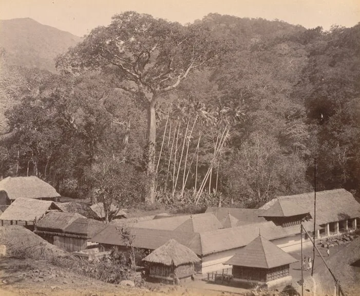
As a natural feature, Palaruvi has no founding date — the Kallada river has been carving this drop for far longer than anyone has been counting. What has changed over time is the way people reach it and think about it. For centuries it was simply a landmark on the forested route between the Kollam coast and the passes into Tamil Nadu; today it is a managed tourist site on the fringe of one of India’s best-known eco-tourism projects.
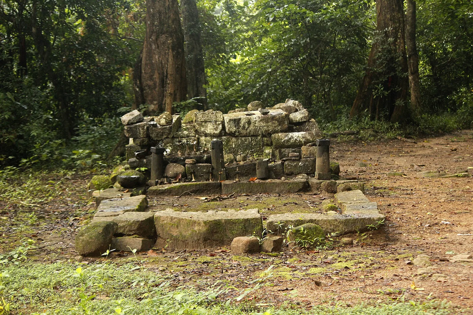
There is a royal chapter, recorded in Malayalam sources and visible on the ground. During the period of royal rule the Travancore kings came here to hunt and to rest; granite rest-mandapams and the remains of horse stables survive on the site, and Palaruvi was long known as a health retreat. Local accounts hold that in the great flood of Kollam Era 1099 — 1923–24, the flood of ninety-nine that is Kerala's benchmark catastrophe of the last century — the stone bathing ghat at Palaruvi was smashed to pieces, after which the kings turned their attention to Tenkasi and Courtallam across the pass, and did not come back. We give the mandapams and the stables as reported and observed; the fuller tourism claim of a seventeenth-century palace is not something we could source.
The falls owe part of their modern accessibility to the railway. The Kollam–Sengottai line, a metre-gauge chord line later converted to broad gauge, was cut through these hills to link the coast with the Tamil interior, and it runs close by. Aryankavu station is about 4.6 km from the falls in a straight line. When the line was converted, the old station's gradient of 1 in 260 could not take broad gauge, so a new station was built about three and a half kilometres west, in the Palaruvi locality itself — New Aryankavu, opened in 2018, at a cost of around 330 felled trees. Local protests kept both stations open.
The bigger story around Palaruvi is Thenmala. In the late 1990s and early 2000s the Kerala government developed Thenmala, a short distance away, as what it bills as India’s first planned eco-tourism destination — a deliberate attempt to organise tourism around conservation rather than against it. Palaruvi belongs to the same belt of managed hill country, although the two sit in different units: the falls are on the south-eastern slope of the Aryankavu Range of Thenmala Forest Division, of which Shendurney Wildlife Sanctuary is a separate sibling unit rather than the same forest.
Day to day the site is not run by Kerala Tourism or by DTPC. It is run by the Palaruvi Vana Samrakshana Samithi, a joint forest management committee formed in 2003 with around 210 members — conservation volunteers, guides and women's self-help units — operating under the Thenmala Forest Development Agency. They sell the tickets, drive the shuttles, staff the pool and cook the food, and about fifty of them spent the closed months of 2026 renovating the paths, rest facilities, sanitary blocks and bathing areas before the reopening.
Put together, the history of Palaruvi is really the history of how a remote hill waterfall became a destination: first a landmark on an old trade and pilgrimage route, then a stop near a mountain railway, and finally a signature sight within a planned eco-tourism region that draws visitors from across Kerala and beyond.
Why visit
A tall stepped cascade down a granite face — an upper chute, a broad apron the water slides across, then a lower drop — genuinely spectacular when the flow is up, and the milk-white effect the name describes is real at moderate flow.
You can get in the water. Unlike most tall falls, Palaruvi has a bathing pool at the base with segregated bathing areas and changing rooms, lifeguards on duty and marked limits, which is why it has been a family day out for generations.
The four-kilometre ride in. Private vehicles stop at the highway; a Forest Department bus takes you in under unbroken canopy, which is both the reason the trees are still standing and a small pleasure in itself.
It is where the Kallada begins. Three hill streams meet above this cliff, and the river they make ends 121 km away in Ashtamudi past Munroe Island.
The royal remains — granite rest-mandapams and the ruins of horse stables from when the Travancore kings came here to hunt and rest, before the flood of 1923–24 broke the bathing ghat.
The village runs it. Tickets, buses, guiding, safety and food are all handled by a local forest-protection committee of around 210 members, so what you spend at the gate stays in the valley itself.