Chimmony trek

Chimmony’s named trek is the guided 5 km forest route from Virakuthodu, one kilometre beyond the sanctuary check post, to Choorathala—not an unnamed walk around the dam or reservoir.

Chimmony trek, Thrissur city
Practical guide

Plan Chimmony trek

Who's going?Tailor Chimmony trek to your trip
Typetrek
AreaThrissur city
DistrictThrissur
Best timeKerala Tourism gives November to April…
Time neededAllow at least half a day around the…
Entry₹150
Places to visit8Listed businesses51

Kerala Tourism publishes about three hours on foot, with butterflies and birdlife as the dependable subjects; larger wildlife may occur but is never promised.

The story

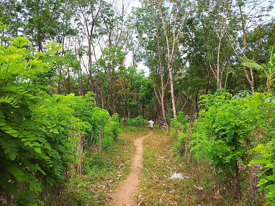
Chimmony’s named walk is not a vague invitation to roam around the dam. It is a guided five-kilometre forest route from Virakuthodu, one kilometre beyond the check post, to Choorathala, with the reservoir and the western slopes of the Nelliyampathy hills defining the larger landscape.

The story of Chimmony trek

The first useful fact is the route name. Kerala Tourism identifies a start at Virakuthodu and a destination at Choorathala, about five kilometres away, with a guide and roughly three hours on foot. That specificity separates the trek from a casual dam visit, a coracle ride on the reservoir and the separately sold Anaporu overnight programme.

The reporting landscape is Chimmony Wildlife Sanctuary at Echippara, east of Thrissur. The map anchor on this page is the sanctuary location published by Kerala Tourism. It is a visitor-base reference, not a fabricated coordinate for Choorathala. Beyond the check post, access is controlled and the named route belongs to the Forest Department’s programme.

Virakuthodu lies one kilometre ahead of the check post. The small distance matters because it describes a threshold rather than the whole walk: road arrival and formal entry come first, then the guide takes responsibility for the forest line. A traveller who arrives only to look across the reservoir has not accidentally completed the trekking product.

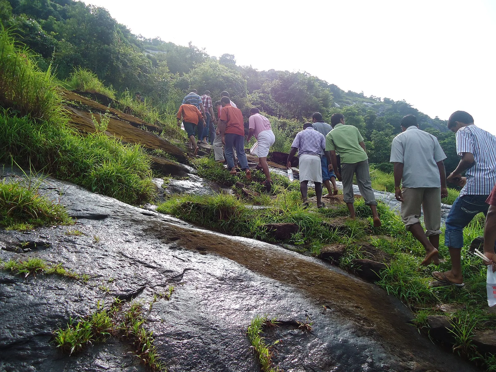
The three-hour description gives the route a human scale. Five kilometres would be a short urban walk, but forest ground changes the arithmetic. Roots, rock, damp leaves, stream edges, pauses for interpretation and the need to keep a group together all slow progress. The published duration is more useful than turning distance into a speed target.

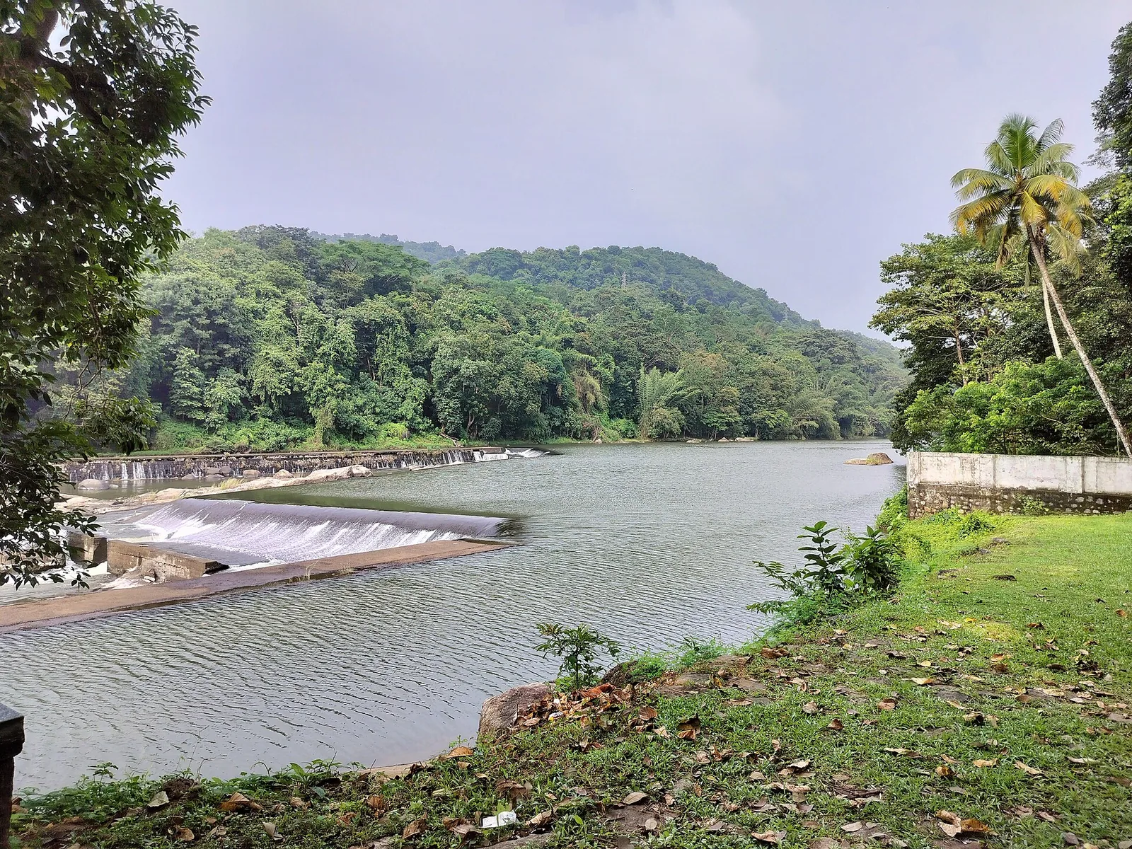
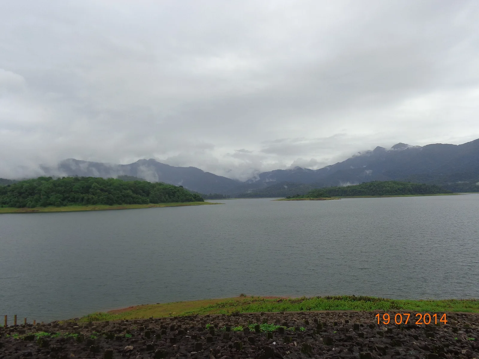
Chimmony sits on the western slopes of the Nelliyampathy hills. The sanctuary protects the watershed country of the Kurumali and Mupliam rivers, while the dam gathers water below wooded ridges. The walk therefore moves inside a landscape shaped simultaneously by slope, forest and stored water rather than towards a single freestanding summit.

The official trekking account gives butterflies and birds unusual prominence. It describes numerous butterflies along the route and welcomes birdwatchers particularly in November and December. That is a clue about how to look: small movement at the trail edge and calls within the canopy are more dependable subjects than expecting a large mammal to appear on command.

Butterflies often gather where moisture and minerals meet exposed ground. A stream margin, damp patch or brighter opening can hold more visible activity than a dark wall of trees. Walking slowly enough to notice those changes is not lost time; it is the route delivering exactly the natural history for which the official description recommends it.

Birdwatching asks for a different kind of patience. The first record may be a call, a wing crossing an opening or a silhouette high above the path. November and December are highlighted by Kerala Tourism, but no date converts the forest into an exhibit. The guide can help separate ordinary movement from a meaningful sighting without promising a checklist.

Chimmony is genuine wildlife habitat, so elephants, gaur and other mammals belong to the sanctuary even when none appears. Their presence is a reason to remain with the guide, not a guarantee printed on a ticket. Fresh sign or a changed route may communicate more about living animal country than a distant photograph taken on a lucky morning.

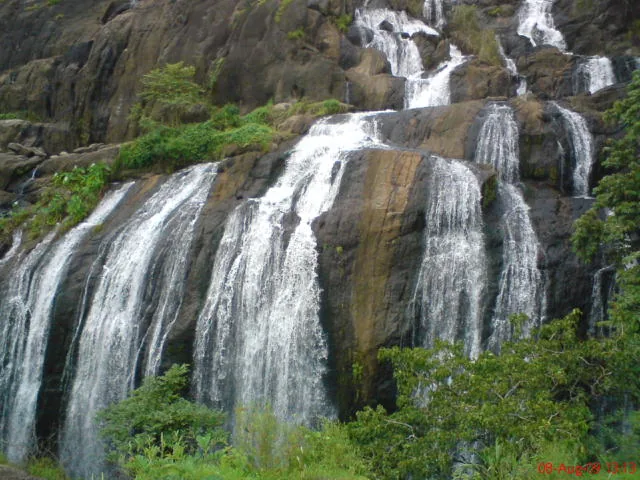
Water is present in more than the reservoir panorama. The forest contains streams and wet rock, and Choorathala is associated with a waterfall visit in Kerala Tourism’s destination account. Flow changes with the season. A dry-period trickle and a monsoon cascade are both honest conditions; neither permits a visitor to leave the assigned line or enter water without approval.

The reservoir can dominate photographs because it opens a broad surface between the hills. On foot, it works as orientation rather than constant scenery. A path may reveal water through foliage, close under canopy, then return to an inlet. That alternation between enclosure and openness gives the walk its visual rhythm.

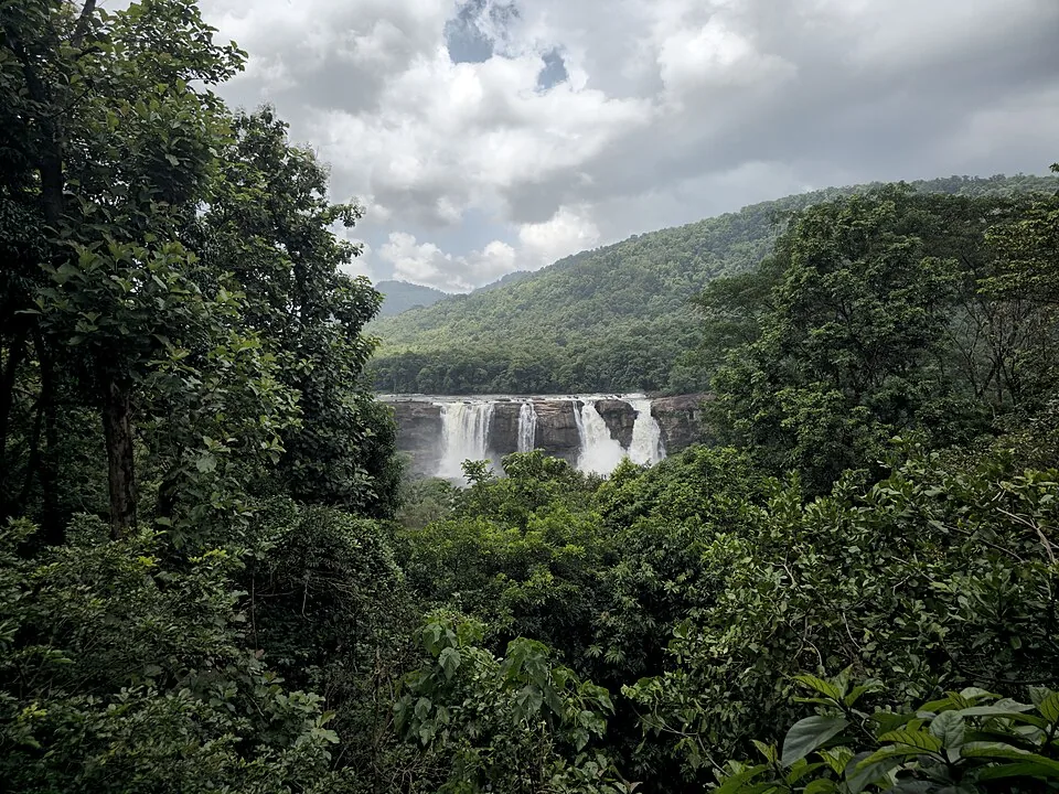
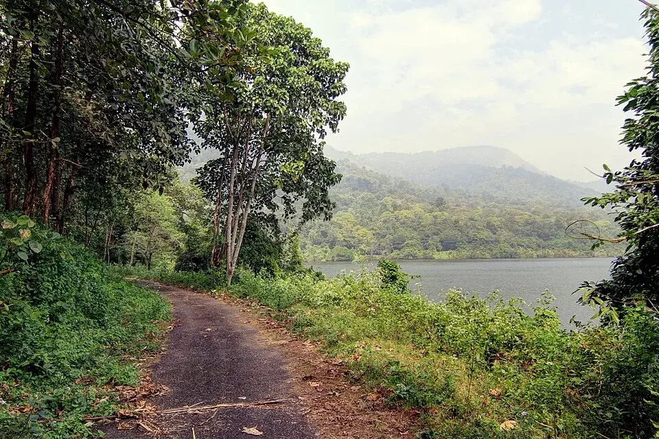
The strongest hero photograph shows a narrow paved forest road curving beside the reservoir. It does not pretend that the entire trek is paved. It communicates the approach and the scale of water, tree cover and hills at Chimmini; the page’s terrain notes separately own the fact that the guided route uses natural forest ground.

Chimmony and Chimmini are both used spellings. Kerala Tourism commonly uses Chimmini for the sanctuary destination and Chimmony in other programme material, while the trek list uses Chimmony. The spelling difference does not indicate two places. Search results, maps and official documents need to be read with both forms in mind.

The sanctuary was established in 1984. The dam and reservoir added a powerful human-made edge to its public image, but trekking is not unrestricted recreation around an irrigation structure. Protected-area rules govern the interior, and the guide is the connection between visitor access and those limits.

Official tariffs have changed substantially across documents. The older Kerala Tourism programme page prints ₹150 per person with a minimum of three; later Forest Department statistics list ₹200 and then ₹750 for trekking. None should be silently promoted as today’s certain price. The page identifies the conflict and directs travellers to confirm the live total with Chimmony Range.

The same caution applies to operating hours. Kerala Tourism’s programme page gives an 08:00–17:00 window and says trekking tickets are issued until 14:00, but forest packages remain subject to climate and other conditions. A nominal closing time is not a promise that a three-hour forest walk will start late on every day.

The safer plan is to contact the range before leaving Thrissur and arrive early. This protects the day against a suspended programme, a changed reporting instruction or a group requirement that cannot be met. It also keeps the trek from being squeezed behind another attraction when its published walking time already occupies the centre of a half-day.

Anaporu belongs to a different commitment. Kerala Tourism describes it as an interior overnight including reservoir boating, forest trekking and food. It should not be collapsed into the Virakuthodu–Choorathala walk, and photographs of accommodation or boating should not be used to promise facilities along the three-hour trail.

The return matters as much as the outward line. Wet rock and roots feel different under tired feet, bird activity changes with light and the reservoir openings face the walker from another direction. A measured outward pace preserves attention for the second half and keeps the group responsive to the guide.

The trail also makes the reservoir easier to understand as a landscape rather than a viewpoint. Broad water seen from the dam is broken here into coves, drainage lines and forested shoulders. Each bend reveals how closely the flooded valley follows the folds of the hills. Choorathala is therefore not simply a pin at the far end of five kilometres: it is reached by reading a succession of smaller landforms that disappear when Chimmony is viewed only from the masonry edge.

Light changes the walk. Early hours can leave the wooded slopes muted and the water almost metallic; later sun catches exposed leaves, insects and openings beside the trail. That contrast explains why the same sanctuary produces both wide reservoir photographs and close observations of butterflies. They are not competing versions of Chimmony. One records the scale of the catchment, while the other shows the minute life supported where forest, moisture and daylight meet.

The guide’s role is also interpretive. A visitor sees a stream crossing, a scrape in mud or movement in the canopy; someone who works inside the sanctuary can place it within recent rain, animal movement and the route ahead. This is why a guided walk is more than permission accompanied by a uniform. The most place-specific knowledge is often temporary—the condition of one crossing, the direction of a herd, or which patch has been active that morning—and cannot responsibly be frozen into an online itinerary.

Choorathala should be approached as the named turn in an authorised forest experience, not as a standalone attraction to locate independently. Public descriptions connect it with water and a waterfall, but seasonal flow, trail condition and wildlife can alter how the party reaches or experiences that area. Following the guide preserves the meaning of the route: arrival is earned through the forest sequence, and the return completes the same managed passage back towards Virakuthodu and the visitor base.

What Chimmony offers is a sequence rather than a trophy: check post, Virakuthodu, guided forest, small watercourses, butterfly and bird country, Choorathala and the walk back. The reservoir and hills hold those elements together. Naming each part correctly is what turns a generic green page into a guide to this particular trek.
Legend & myth

Chimmony trek is not a free walk around the dam and Chimmony/Chimmini are not two destinations. The named product is a guided sanctuary route, while the alternative spellings refer to the same landscape.

Read the full history of Chimmony trek 120 more words

History

Chimmony Wildlife Sanctuary was established in 1984 on the western slopes of the Nelliyampathy hills.

The sanctuary covers the watershed country of the Kurumali and Mupliam rivers; the reservoir created by Chimmony Dam now forms its most visible public edge.

The Forest Department’s ecotourism system separates the Virakuthodu–Choorathala trek, reservoir activities and Anaporu overnight into different products.

Changing official tariff tables show why old prices cannot be treated as live quotations without confirmation from Chimmony Range.

Why visit

Walk a precisely named forest route rather than an invented generic circuit.

Watch for butterflies and birds in the season the official programme highlights.

Read the reservoir, streams and western Nelliyampathy slopes as one watershed.

Experience controlled sanctuary access with a Forest Department guide.

What to expect

Highlights

  • A defined Virakuthodu-to-Choorathala route rather than an unnamed forest walk.
  • Reservoir-edge forest below the Nelliyampathy slopes.
  • Strong butterfly and birdwatching interest, especially in November and December.
  • A compulsory guide inside a working wildlife sanctuary.
Getting there

How to visit

  • Contact Chimmony Range before travel and confirm that trekking is operating.
  • Report at the Chimmony sanctuary base/check-post system with identification and enough time for the guide assignment.
  • Walk only with the assigned guide from Virakuthodu towards Choorathala.
  • Treat weather, water level and wildlife instructions as final; packages can be withdrawn at short notice.

Distance by road

  • Kochi85 km
  • Coimbatore115 km
  • Kozhikode130 km
  • Mysuru265 km
  • Madurai274 km

Road km to Thrissur; ghat roads and traffic vary — allow extra.

Timing

Best time

Kerala Tourism gives November to April as the broad visiting season and particularly recommends November and December for birdwatchers. Monsoon is greener but wetter, leech-prone and more liable to restrictions.

Weather in Chimmony trekSeasonal guide

Live forecast loads in your browser.

Today at Chimmony trek
Sunrise6:12 am
Sunset6:09 pm
Golden hour best light5:09 pm–6:09 pm
Blue hour after sunset6:09 pm–6:34 pm
Sun sets toward compass bearingW · 263°
Moon tonight🌑 New moon · 0%
Retreating monsoon. October and November still see spells of rain from the retreating monsoon, though it is usually lighter than mid-year. Conditions are generally good but worth checking.

Sun and moon are calculated for this location and shown in IST. Photography windows are the hour around sunrise and sunset; the sunset bearing is degrees clockwise from true north. Moon phase is accurate to about half a day.

Visitor notes

  • The trek is distinct from a dam-only visit, coracle ride or Anaporu overnight package.
  • Published tariffs have changed across official documents; confirm the current total before payment.
  • The page map marks the sanctuary visitor area, not Choorathala.
  • Sightings are never guaranteed; the forest, streams, butterflies and birds are the reliable experience.
Safety

Good to know

  • Remain with the Forest Department guide.
  • Wear closed footwear for wet rock, roots and natural forest ground.
  • Carry rain protection and personal medicine; do not assume phone signal inside.
  • Never approach, feed or follow wildlife, and take all litter out.
Official eco & forest programmes

Experiences around Chimmony trek

These are official or public-sector eco offerings that match this place, town or forest destination. Confirm availability, permits, tariffs and reporting times with the official operator before travel.

Peechi, Chimmony trek
wildlifeboatingviewpoint

Peechi eco visit

Peechi reservoir, garden and the sanctuary’s southern public edge; a dam visit rather than proof that a guided forest trail is operating.

Kerala Forest Department / local tourism authorities
Official source →
Vazhani, Chimmony trek
wildlifeboatingviewpoint

Vazhani eco visit

The Vazhani dam approach, garden and forest threshold from which official tourism material names four local trails and a trek towards Peechi.

Kerala Forest Department / local tourism authorities
Official source →
Stay · eat · do · rent · see · shop

Stays, food & things to do near Chimmony trek

Browse listed stays, food, activities, sights, shops and rentals around Chimmony trek. Check each listing’s locality and contact the business directly for current arrangements.
7 things to do near Chimmony trek

Taxi service · Thrissur city
Yellow Cabss Thrissur

Thrissur taxi provider near the railway station with Guruvayur and Athirappilly route evidence. Thrissur taxi, Railway station, Guruvayur transfer.

Directions Commission-freeView details
Taxi service · Thrissur city
LaBa Cabs Thrissur
30.5 km · straight-line distance

Thrissur call-taxi and app cab provider near the railway station. Thrissur taxi, Railway station, App cab.

Directions Commission-freeView details
Temple · Thrissur city
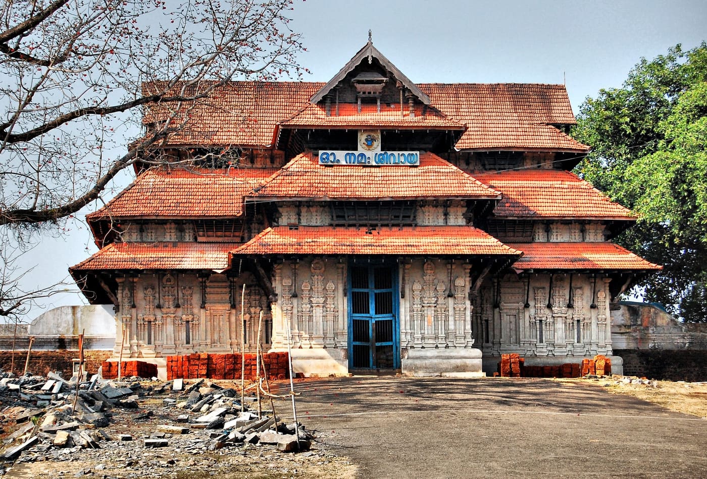
Sree Vadakkunnathan Temple
30.4 km · straight-line distance

Official temple contact for Thrissur city central Shiva temple and Pooram anchor. Temple rules apply · Thrissur, Vadakkunnathan Temple, Temple.

Directions Commission-freeView details
Tourist information centre · Thrissur city
DTPC Thrissur Tourist Information
30.2 km · straight-line distance

Official Thrissur tourism contact context for city, Pooram and district trip planning. Thrissur, DTPC, Tourist information.

Directions Commission-freeView details
Athirappilly tour and taxi operator · Thrissur city
Traveller Taxi Thrissur
30.5 km · straight-line distance

Thrissur-based tour and taxi operator running Athirappilly waterfall day trips, Guruvayur temple runs and Sabarimala transfers. It works from Nedupuzha near Vattappini Temple with Innova, Dzire and Ertiga cars plus 12 to 26 seat tempo travellers, and lists several direct booking numbers.

Directions Commission-freeView details
Travel agent · Thrissur city
Namasthe Kerala Holidays Irinjalakuda

Kerala Tourism-listed Thrissur district travel agent based in North Irinjalakuda. Thrissur travel agent, Irinjalakuda, Kerala Tourism listed.

Directions Commission-freeView details
Taxi service · Thrissur city
Thrissur Call Taxi
30.8 km · straight-line distance

Thrissur taxi operator near the railway station with direct booking contacts. Thrissur taxi, Railway station, Transport.

Directions Commission-freeView details

Book with the place itself. India’s cyber-crime coordination centre warned in April 2025 that convincing copies of hotel and pilgrimage booking sites are being pushed through sponsored search and social ads, taking payment for rooms the property never hears about. Use the contact and source details on each profile to confirm the exact business and booking channel. A directory entry or map pin alone does not establish an operator’s identity or current availability. Roampedia takes no commission and does not collect booking payments. If a booking page reached you through an ad, check the address bar against the property’s own site before you pay. Fraud can be reported on cybercrime.gov.in or on 1930.

Nearby guides

Top experiences around Thrissur city

23 more places around Thrissur city. Open a guide to plan the visit and onward journey.

A
Ariyannur Temple and Megalithic Site
Place
templeAriyannur Temple and Megalithic Site

An old temple landscape near Kandanassery with nearby megalithic remains; living worship and archaeological evidence must be described as separate layers.

C
Chemmapilly Hanging Bridge
Place
heritageChemmapilly Hanging Bridge

A narrow pedestrian suspension bridge over the Karuvannur river at Chemmapilly, best visited as a working local crossing rather than a staged thrill attraction.

H
Holy Cross Church, Mapranam
Place
churchHoly Cross Church, Mapranam

A longstanding Catholic pilgrimage church at Mapranam associated with the Holy Cross and annual feast observances.

K
Kunjalipara
Place
viewpointKunjalipara

A lesser-known rocky hill destination in Thrissur district where the exact approach, safe stopping point and public access require local confirmation.

templeVadakkunnathan Temple

Ancient temple at the centre of Thrissur’s round, associated with Thrissur Pooram.

trekPeechi-Vazhani trek

A guided forest crossing described from Vazhani towards Peechi, plus shorter named trails on the Vazhani side. Current operation, meeting point and return transport must be confirmed with the sanctuary office.

heritageThrissur Pooram

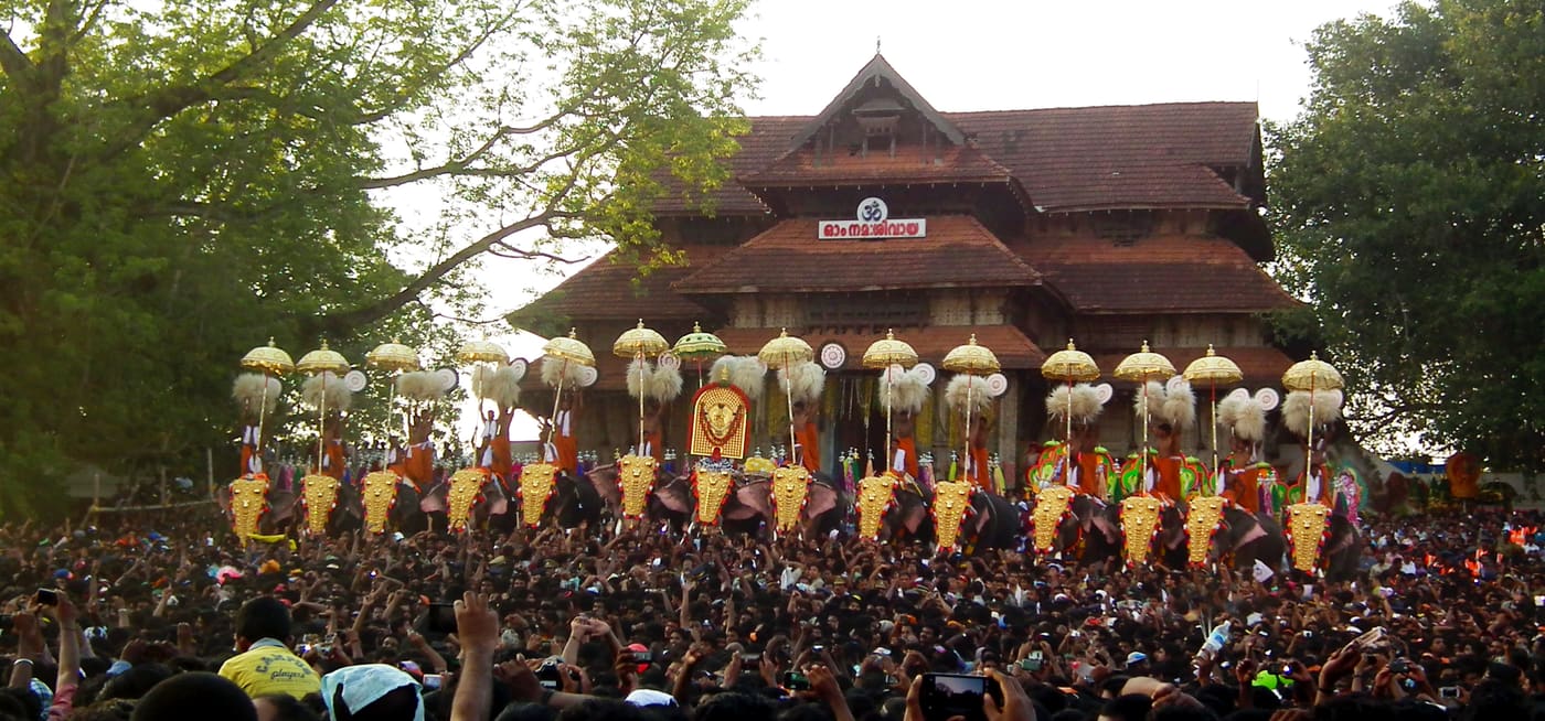
Kerala’s most famous temple festival, held around April/May at the Thekkinkadu ground around Vadakkunnathan.

beachSnehatheeram Beach

Family-friendly beach south-west of Thrissur city.

heritageShakthan Thampuran Palace

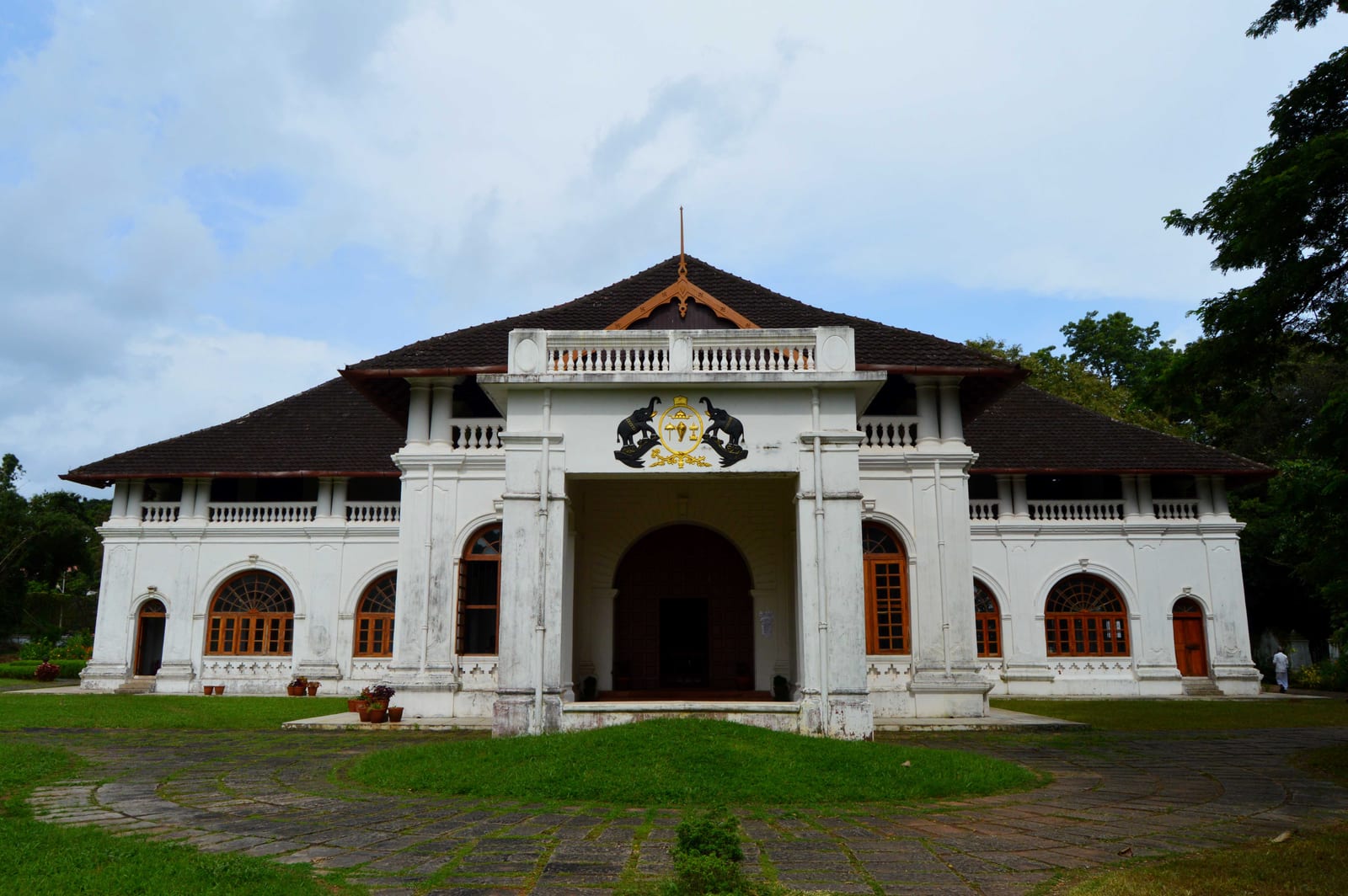
Restored palace and archaeological museum in Thrissur city, built by Raja Rama Varma Sakthan Thampuran.

churchBasilica of Our Lady of Dolours

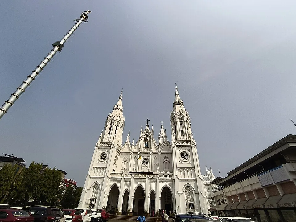
The “Puthan Pally” basilica in Thrissur, known for its Bible Tower — among the tallest church towers in Asia.

wildlifeThrissur Zoo

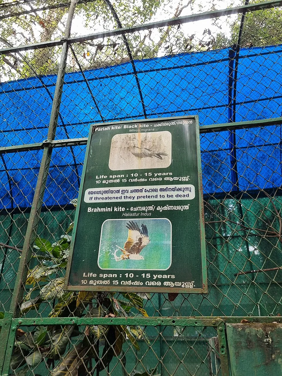
State museum, art gallery and natural-history collection at Chembukkavu; the zoo animals moved to the new zoological park at Puthur, open since February 2026.

damPeechi Dam

15.6 km · straight line

Reservoir and garden at the edge of the Peechi-Vazhani sanctuary, with boating, about 20 km east of Thrissur.

viewpointVilangan Kunnu

A low hill and park on the edge of Thrissur city, popular for sunset views and morning walks.

templeKoodalmanikyam Temple

Rare temple at Irinjalakuda dedicated to Bharata, one of the Nalambalam (four-temple) Rama circuit shrines.

templeThriprayar Temple

Sree Rama temple on the Theevra river near Triprayar, another of the Nalambalam circuit shrines.

damThumboormuzhi Dam

16.0 km · straight line

A check dam, hanging garden and butterfly garden on the Chalakudy river near Athirappilly, a popular picnic and day-trip stop.

waterfallMarottichal Falls

15.1 km · straight line

A forest waterfall and fish sanctuary near Marottichal in the hills east of Thrissur, reached by a short walk.

templePeruvanam Mahadeva Temple

An ancient Shiva temple at Cherpu south of Thrissur, the ritual centre of the historic Peruvanam Pooram.

templeVilwadrinatha Temple

The Sree Rama (Vilwadrinatha) hill temple at Thiruvilwamala on the Nila river, reached by stone steps up the wooded rock.

beachNattika Beach

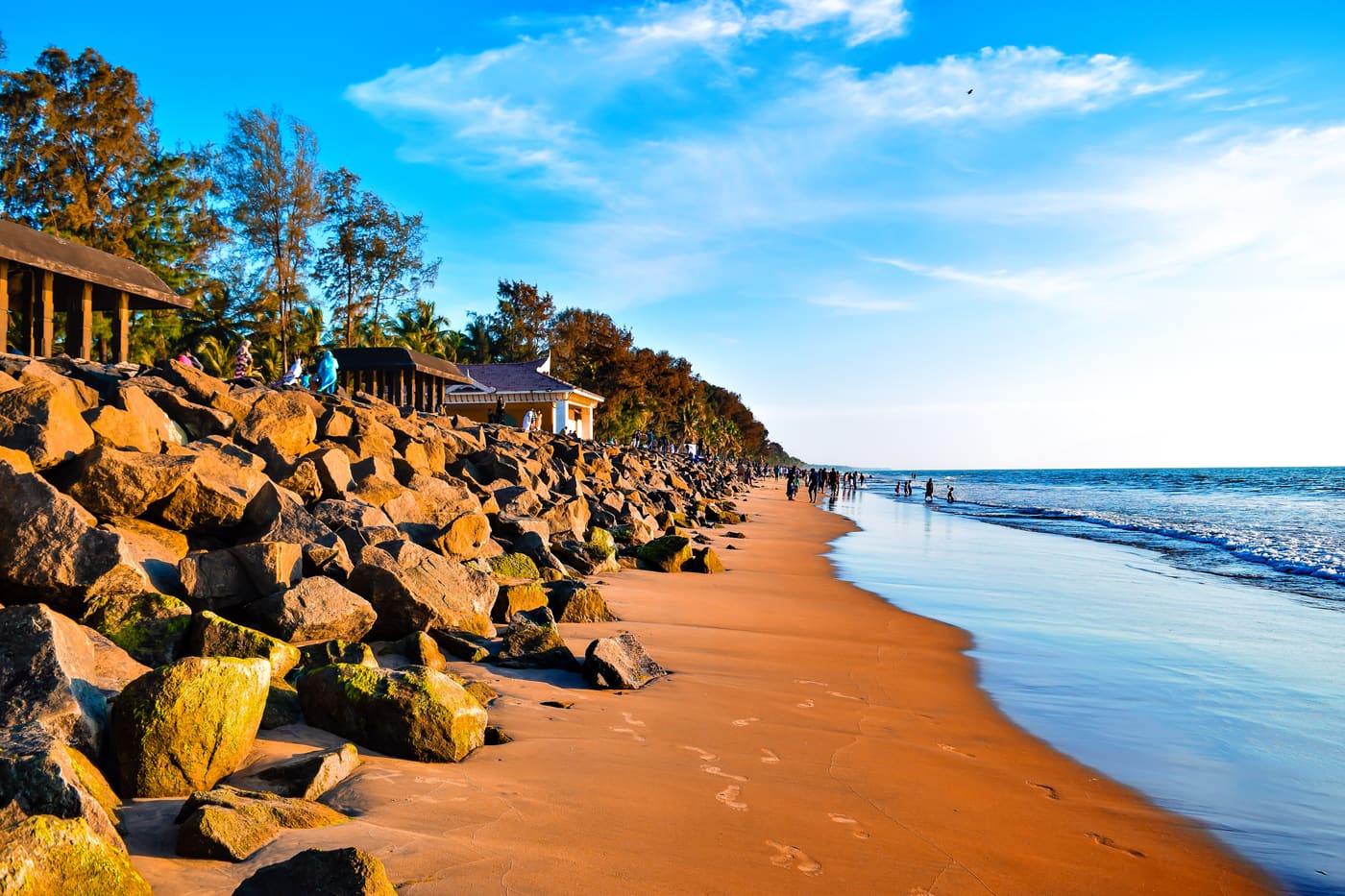
Nattika Beach is the Arabian Sea shore of Nattika in Thrissur district, also identified by Kerala Tourism as Attakuzhi Bandhar Kadapuram. Its long sand frontage, fishing-life connections and association with the Malayalam film Chemmeen give it a character distinct from a resort’s private grounds. Use the named public beach approach for a shore visit, with Nattika and Triprayar providing the wider town plan. The beach, Triprayar Sree Rama Temple and any accommodation property require separate arrival instructions.

churchOur Lady of Lourdes Cathedral

A landmark Syro-Malabar cathedral in Thrissur city known for its Gothic facade and an underground shrine (rock church).

backwaterChettuva Backwaters

A calm estuarine backwater, mangroves and fishing-harbour belt on the Thrissur coast near Chavakkad, quieter than Alappuzha.

damChimmony Dam

2.0 km · straight line

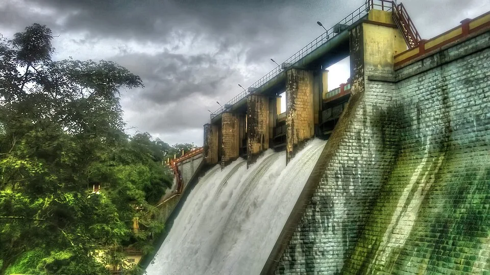
A reservoir and eco-tourism spot at the edge of the Chimmony Wildlife Sanctuary east of Thrissur, with boating and forest views.

Roampedia is commission-free — own or know a stay, eatery, guide or shop near Chimmony trek? Submit public business details for review.

Add a nearby business
Trek facts

Chimmony trek — at a glance

TimingsKerala Tourism publishes 08:00–17:00 and says trekking tickets are issued until 14:00. Availability remains subject to climate and forest conditions, so contact the range before travelling and arrive early for a three-hour walk.
Best timeNovember to April is the official broad season; November and December are specifically recommended for birdwatchers. Monsoon brings lush forest, slippery ground, leeches and a higher chance of suspension.
Entry price
Indian adult
₹150

Fees change without notice. Check the current rate at the counter.

Entry: Official sources conflict by date: Kerala Tourism prints ₹150 per person with a minimum of three, while later Forest Department statistics list ₹200 and then ₹750 for trekking. Confirm the current total directly before payment.

Parking: Use the designated visitor-base parking and follow check-post instructions; do not drive beyond the authorised point.

Getting here

How to reach Chimmony trek

  • ✈︎ By air Forest Department material lists Cochin International Airport at about 60 km. Continue by road and confirm access before undertaking the transfer.
  • 🚆︎ By train Forest Department visitor material lists Thrissur railway station at about 35 km. Allow time for the road transfer and check-in rather than treating the rail distance as the trail-start distance.
  • 🚗︎ By road Approach the sanctuary visitor/check-post system at Echippara and report there for staff instructions. Virakuthodu is one kilometre beyond the check post, but that does not authorise a visitor to drive independently to the walking start.
  • 🚌︎ By bus No official source promises a bus to the trek reporting point. Use Thrissur or the nearest service town as a transfer and confirm the final taxi/auto arrangement with Chimmony Range before departure.
Getting back

If you are travelling by bus or ferry, check the return service with the operator before setting out. Leave time to reach the stop or jetty after your visit.

Ask at the bus stand for the time of the last service back, not the next one. If you miss it, an auto or app cab is the fallback — agree the fare before you get in.

Prepare

What to carry

  • Ask specifically for the Virakuthodu–Choorathala trek.
  • Confirm the current price and minimum group because official tariff generations differ.
  • Carry identification, closed shoes, rain protection and personal medicine.
  • Treat the Anaporu overnight, boating and dam visit as separate products.
Getting around Chimmony trekNot wheelchair accessible
Terrain
Steep
From the entrance
A guided 5 km natural-surface forest route from Virakuthodu, one kilometre beyond the Chimmony check post, to Choorathala.
Step-free access
The trek uses uneven forest ground, roots, wet rock and stream-side terrain. There is no step-free route to Choorathala.

Visitor formalities and parking are at the sanctuary base.A Forest Department guide accompanies the route.Do not assume toilets, shops, drinking-water refills or phone signal beyond the visitor base.

  • Packages can be suspended for climate, water or wildlife conditions.
  • Wet-season rock and leaf litter are slippery and leeches are likely.
  • Remain with the guide and never approach or follow wildlife.
  • The reservoir approach photographs do not represent every section of the forest trail.

Checked 3 September 2026 against source 1source 2source 3. Conditions change and surfaces vary with weather — if step-free access is essential, confirm with the site before you travel.

Nearby

What’s near Chimmony trek

damChimmony Dam

A reservoir and eco-tourism spot at the edge of the Chimmony Wildlife Sanctuary east of Thrissur, with boating and forest views.

2.0 km · straight line
waterfallMarottichal Falls

A forest waterfall and fish sanctuary near Marottichal in the hills east of Thrissur, reached by a short walk.
15.1 km · straight line
damPeechi Dam

Reservoir and garden at the edge of the Peechi-Vazhani sanctuary, with boating, about 20 km east of Thrissur.
15.6 km · straight line
damThumboormuzhi Dam

A check dam, hanging garden and butterfly garden on the Chalakudy river near Athirappilly, a popular picnic and day-trip stop.

16.0 km · straight line
churchKanakamala Kurishumudi

A hill of crosses about 5 km north of Chalakkudy that local devotion ranks with Malayattoor — fourteen crosses up a kilometre of bare sheet rock to a hilltop shrine at about 310 m. The pilgrimage was begun in 1940 by the vicar of Perambra after a dream; April is its busiest month.

17.4 km · straight line
trekNadukani trek

The official hard 9 km guided trek from Athirappilly’s entrance through buffer-zone semi-evergreen forest and the 1976 teak plantation to Nadukani hill, with a distant, opposite-side view of Athirappilly Falls.

19.2 km · straight line
waterfallVazhachal Falls

Forest waterfall area near Athirappilly.

19.8 km · straight line
waterfallAthirappilly Falls

Large waterfall on the Chalakudy river, also reached as a Kochi day trip.

19.8 km · straight line
heritageChalakudy Market

The town’s wholesale produce yard on Market Road, the oldest continuously working institution in Chalakkudy — a Sakthan Thampuran-era pandikasala that still holds its traditional Tuesday and Friday markets and takes hill produce down State Highway 21.

21.2 km · straight line
churchChalakkudy Forane Church

St Mary’s Forane Church on Church Road, the Syro-Malabar forane that governs seventeen daughter parishes across the Chalakkudy countryside and keeps the ambu perunnal, the arrow feast the town observes across community lines. The present building was rebuilt in 1987; the belfry is 1913 and the bell 1887.

21.5 km · straight line
churchMuringoor Divine Retreat Centre

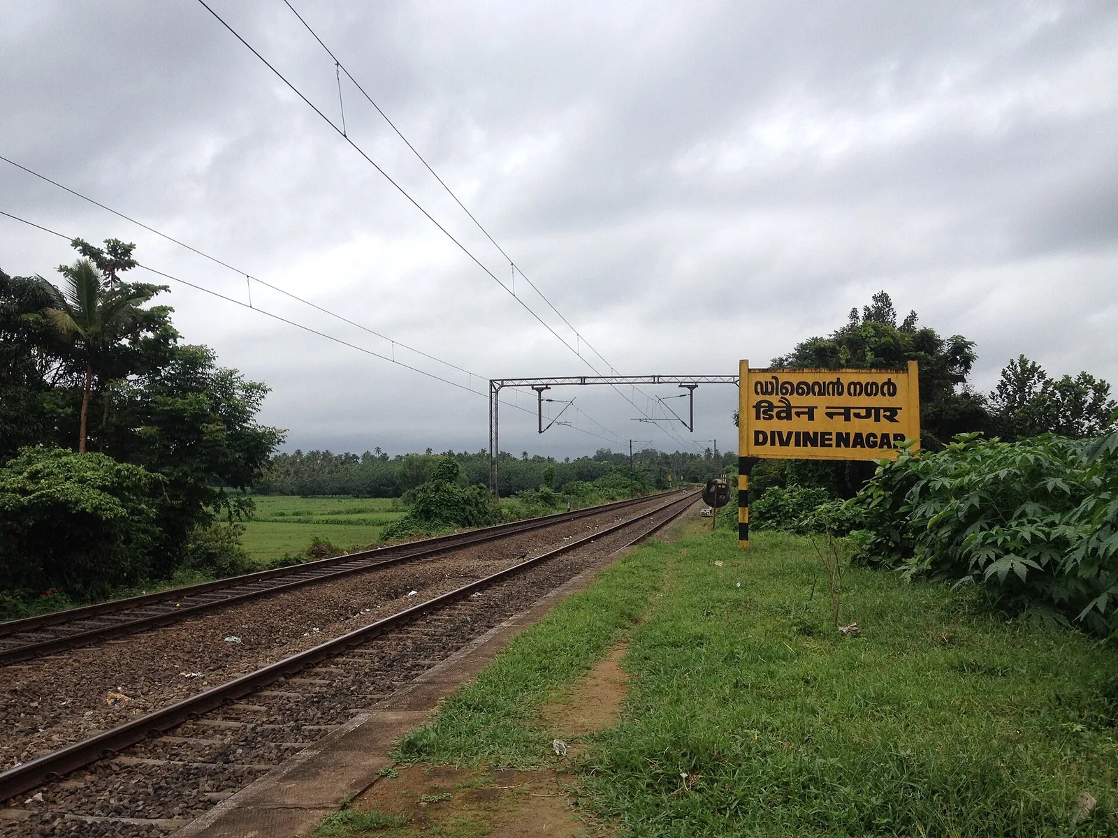
The Vincentian Congregation’s residential retreat centre on NH 544 at Muringoor, which by its own account takes about five thousand people a week for a six-day retreat in seven languages and houses two thousand more in five charitable homes — on volume, the largest organised draw in Chalakkudy taluk after the falls. Indian Railways opened a halt called Divine Nagar for it in 1996.

22.6 km · straight line
heritageChalakkudy railway station

Chalakudi station, code CKI, on the Shoranur–Cochin Harbour section — the railhead the Cochin State Forest Tramway was extended to reach, and the transfer point for Athirappilly. About 1.4 km west of the highway, which catches most visitors out.

22.9 km · straight line

8 detailed place guides in Thrissur city →

On the map

Where Chimmony trek is

Good to know

Chimmony trek — frequently asked

How long is the Chimmony trek?

Kerala Tourism publishes five kilometres and about three hours for the guided Virakuthodu-to-Choorathala route.

Where does it begin?

At Virakuthodu, described as one kilometre beyond the sanctuary check post. Confirm the current reporting instruction with Chimmony Range.

What does the trek cost?

Official sources contain different tariff generations, from ₹150 to ₹750. Confirm the current live total and any minimum group requirement before travelling.

When is birdwatching best?

The official programme particularly welcomes birdwatchers in November and December; Kerala Tourism gives November to April as the wider visiting season.

Is Anaporu included?

No. Anaporu is a separate overnight package involving boating, interior trekking and food.

Are wildlife sightings guaranteed?

No. Butterflies, birdlife and the forest landscape are the dependable subjects; all animal sightings depend on conditions and luck.

When is the best time to visit Chimmony trek?

Kerala Tourism gives November to April as the broad visiting season and particularly recommends November and December for birdwatchers. Monsoon is greener but wetter, leech-prone and more liable to restrictions.

What are the entry fee and timings at Chimmony trek?

Entry: Official sources conflict by date: Kerala Tourism prints ₹150 per person with a minimum of three, while later Forest Department statistics list ₹200 and then ₹750 for trekking. Confirm the current total directly before payment. Timings: Kerala Tourism publishes 08:00–17:00 and says trekking tickets are issued until 14:00. Availability remains subject to climate and forest conditions, so contact the range before travelling and arrive early for a three-hour walk. The rupee figure quoted is the Indian adult rate.

How do I reach Chimmony trek?

Contact Chimmony Range before travel and confirm that trekking is operating. Report at the Chimmony sanctuary base/check-post system with identification and enough time for the guide assignment. Walk only with the assigned guide from Virakuthodu towards Choorathala. Treat weather, water level and wildlife instructions as final; packages can be withdrawn at short notice.

How much time do I need for Chimmony trek?

Allow at least half a day around the published three-hour trek, plus check-in and the road journey to the sanctuary base.

What else is near Chimmony trek?

Nearby you can pair Chimmony Dam (2.0 km, approximate straight-line separation), Marottichal Falls (15.1 km, approximate straight-line separation), Peechi Dam (15.6 km, approximate straight-line separation), Thumboormuzhi Dam (16.0 km, approximate straight-line separation).

What should I know before visiting Chimmony trek?

Remain with the Forest Department guide. Wear closed footwear for wet rock, roots and natural forest ground. Carry rain protection and personal medicine; do not assume phone signal inside. Never approach, feed or follow wildlife, and take all litter out.

Read before you go

Chimmony trek guides, stories & itineraries

Stories & history of Chimmony trek

Written about Chimmony trek itself — its history, its legends and the arguments about them.

Around Thrissur city

These guides explore Thrissur city and the surrounding area. Choose a visit that fits your interests, allowing separately for travel between stops.

Kerala-wide guides & itineraries

Route-level itineraries and practical guides for the rest of Kerala.

See all 46 Thrissur guides & stories →

Image credits

Photographs: Dhruvaraj S (CC BY 2.0), Aruna (CC BY-SA 3.0), Dvellakat (CC BY-SA 4.0), Jiljithms (CC BY-SA 4.0), Sim tcr (CC BY-SA 4.0), Remson Pellisserry (CC0), Clintonpeter (CC BY-SA 4.0), Siby Varghese (CC BY-SA 3.0), Arayilpdas (CC BY-SA 3.0). Wikimedia Commons.