What to expect
Highlights
- Reservoir and dam views at Karapuzha Dam
- Engineering landmark or garden/viewpoint stop
- Pair with nearby hill, forest or town routes
Reservoir and garden-side attraction near the Ambalavayal/Kalpetta side of Wayanad.
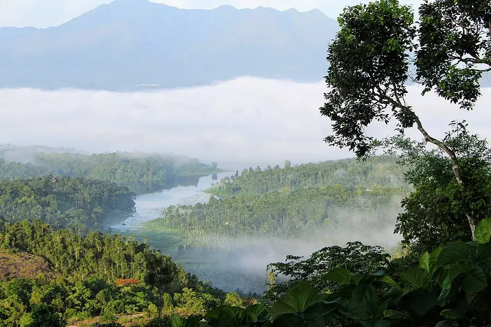
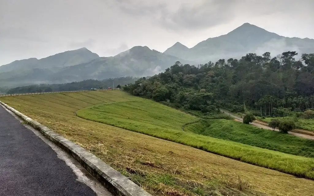
Karapuzha Dam is a large earthen dam near Kalpetta in Wayanad, holding back a broad reservoir ringed by paddy fields and blue-green hills. It is a modern irrigation project turned easy-going day out — boating, gardens, a children’s park and a breezy hanging bridge, with the Wayanad ranges filling the horizon.
Karapuzha Dam sits a short drive from Kalpetta, spread across the Karapuzha river where it winds through the paddy country of central Wayanad. Unlike the district’s dripping rainforests and cliff-edge viewpoints, this is a place of open water and wide sky — a long green embankment, a shining reservoir, and rows of hills folding away into the distance. It is worth being honest about what it is: not an ancient monument or a temple with a legend behind it, but a working piece of engineering that the land and the light have slowly turned into a scenic retreat.
The Karapuzha is a tributary of the Kabini, itself part of the great Cauvery system that drains eastward off the Wayanad plateau. Damming it created a sheet of water that fills out generously after the monsoon and mirrors the surrounding hills on still mornings. Paddy fields press right up to the fringes in places, so the view shifts with the farming year — flooded and silver in one season, emerald with young rice in another, gold at harvest.
The reservoir is often described as one of the largest earthen dams in India, and it is certainly among the bigger earthfill dams in Kerala (the ranking claim is repeated widely but rarely sourced precisely). What is not in doubt is the sense of scale on the ground: a long, grassed embankment you can walk along, and a body of water big enough to lose your bearings on when you are out in a pedal boat.
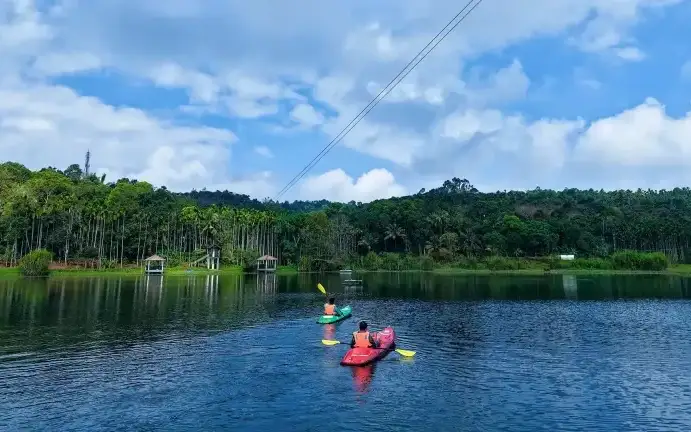
Over the past decade the state tourism and irrigation bodies have added the trappings of a family park to the dam site — landscaped gardens, a children’s play area, walking paths, viewpoints and adventure add-ons such as a suspension-style hanging bridge and, at times, a long zip line strung above the water (the adventure rides are run seasonally and by contractors, so availability varies). It is the kind of place families in Wayanad come for an unhurried afternoon rather than a bucket-list thrill.
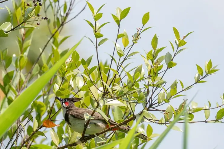
The reservoir is also quietly good for birds. The open water, the reedy margins and the adjoining paddy draw egrets, cormorants, kingfishers and a shifting cast of waterbirds, particularly in the cooler months. Early morning and the hour before sunset are the rewarding times — the light goes soft, the water turns to glass, and the hills behind the dam catch a warm glow that photographers make the most of.
Come with the right expectations and Karapuzha delivers: a relaxed, scenic reservoir where you can drift on the water, stretch out in a garden, let children run off some energy, and watch the sun drop behind the Wayanad hills. It pairs naturally with Kalpetta’s other outings — a calm counterpoint to the district’s peaks, caves and forests.
The Karapuzha project is a story of patience more than of glory. It was conceived as a medium irrigation scheme to water the farmland of central Wayanad, and construction on the earthen dam across the Karapuzha river reportedly began in the late 1970s, around 1977. What followed was one of the longer-running public works in the region.
Progress was slow for decades — a familiar tale of shifting budgets, land and rehabilitation issues, and the sheer difficulty of building a large earthfill embankment in hilly, high-rainfall terrain. The main dam structure is generally cited as being completed around 2004, roughly a quarter of a century after work started.
Even after the embankment was finished, the project’s core purpose — irrigation — took further years to come good, as the left- and right-bank canal networks meant to carry water to the fields were built out in stages. The scheme is often described as partially commissioned around 2010, with canal work continuing beyond that. It is counted among the notable medium irrigation projects in the Kabini sub-basin.
By design the dam is an embankment, earth-fill structure with a concrete spillway, standing on the order of 28 metres high and several hundred metres long, impounding a reservoir with a gross storage of roughly 76 million cubic metres. Its stated job is to irrigate thousands of hectares of cultivable command area across the Vythiri, Sulthan Bathery and Mananthavady taluks.
Tourism came later and almost as a by-product. As the reservoir matured into a permanent feature of the landscape, authorities developed the site with gardens, a park and recreational rides to draw visitors — turning a long-delayed irrigation project into one of Wayanad’s pleasant, low-key day outings. The history is worth knowing precisely because it grounds the visit: this is a place people willed into being over decades, not a relic left by them.
Big-water scenery that is rare in hill-country Wayanad — a broad reservoir mirroring the ranges, best after the monsoon when it fills out.
Gentle boating across calm water, an easy and photogenic way to get out among the hills without any hard effort.
A breezy hanging bridge and, when running, a long zip line and adventure add-ons for a bit of mild thrill.
Landscaped gardens and a children’s park that make it a genuinely family-friendly, picnic-style outing rather than a strenuous sight.
Quietly good birdwatching along the reedy margins and adjoining paddy — egrets, cormorants, kingfishers and waterbirds, especially in the cooler months.
Some of the loveliest sunsets in the Kalpetta area, with the light softening over the water and the Wayanad hills glowing behind the dam.
Road km to Wayanad; ghat roads and traffic vary — allow extra.
Post-monsoon and winter for scenery; monsoon access may change.
Live forecast loads in your browser.
Check the official alert before you travel. Kerala’s beaches, waterfalls and trekking routes close at short notice during heavy rain, and district alert levels change day to day. We do not publish an alert level of our own — read it from the state authority: Kerala State Disaster Management Authority, or the district control room on 1077.
Sun and moon are calculated for this location and shown in IST. Photography windows are the hour around sunrise and sunset; the sunset bearing is degrees clockwise from true north. Moon phase is accurate to about half a day.
Verified hotels, homestays, restaurants, experiences, sights, shops and rentals around Karapuzha Dam — commission-free, with direct contact. Filter by what you need.
Hotel Haritagiri Ayurveda treatment facility on Kalpetta Main Road with Kerala Tourism evidence. Ayurveda, Spa, Wellness.
Kalpetta town Ayurveda/spa facility inside Green Gates Hotel with provider-page evidence. Ayurveda, Spa, Wellness.
Kerala Tourism source for DTPC-run Karlad Lake adventure activities. Karlad Lake, Adventure camp, DTPC Wayanad.
Kerala Tourism source for Wayanad village-life and responsible-tourism experiences. Responsible tourism, Village life, Tribal craft.
Wayanad Cab is a Kalpetta-based taxi provider for airport pickups, railway transfers, sightseeing tours, local travel and outstation routes. Wayanad cab, Airport transfer, Sightseeing taxi.
Wayanad Auto Taxi is a Kalpetta-based local taxi and itinerary support provider for pickups, sightseeing and Wayanad road transfers. Kalpetta taxi, Wayanad transport, Sightseeing.
Banasura Sagar Dam is a major Kalpetta-side Wayanad reservoir attraction with official DTPC contact, entry-time and Kerala Tourism destination evidence. Banasura Sagar Dam, Padinjarathara, Reservoir.
Official KSRTC Kalpetta branch contact for Wayanad bus-route planning. Public transport · Bus, KSRTC, Transport.
Padinjarathara/Kalpetta-side Wayanad taxi service for sightseeing, airport transfers and outstation rides.
Official Wayanad district tourism office at Civil Station, Kalpetta North. Official information · DTPC Wayanad, Official tourism, District planning.
Book with the place itself. India’s cyber-crime coordination centre warned in April 2025 that convincing copies of hotel and pilgrimage booking sites are being pushed through sponsored search and social ads, taking payment for rooms the property never hears about. Every listing here links to the business’s own contact details and its own Google or Bing profile — we take no commission and sit in nobody’s payment path. If a booking page reached you through an ad, check the address bar against the property’s own site before you pay. Fraud can be reported on cybercrime.gov.in or on 1930.
Find food, accommodation and activities across Kalpetta. Browse the guides for places to eat, stay and explore along your route.
13 more places around Kalpetta. Open a guide to plan the visit and onward journey.
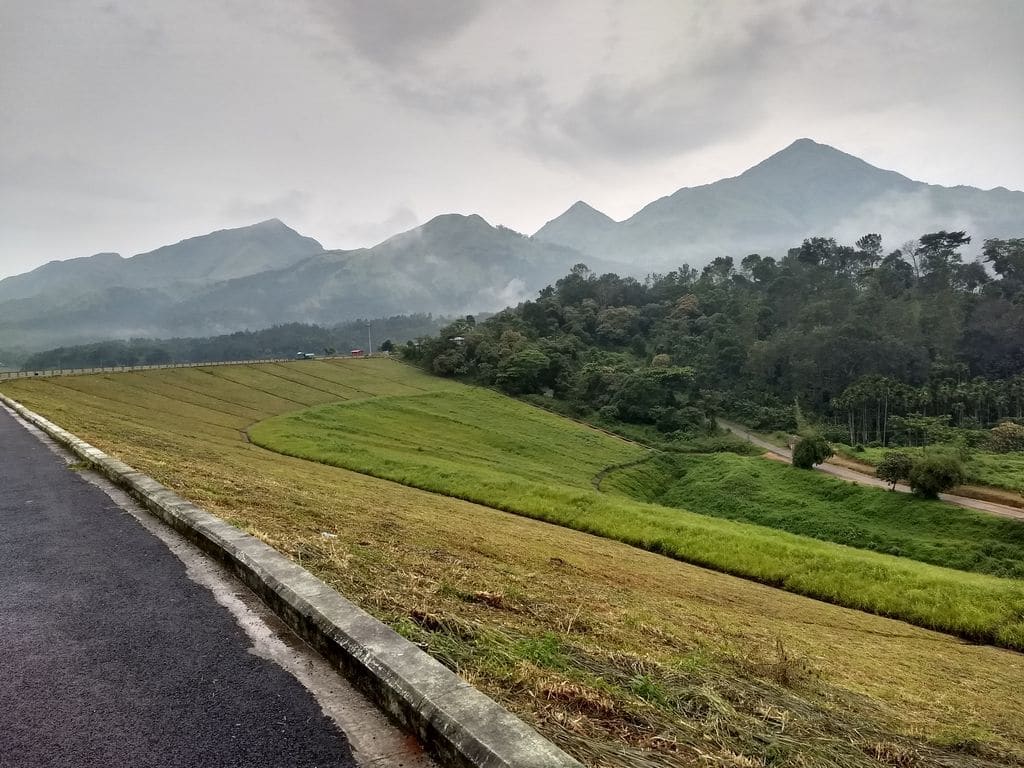
Large earth-fill dam with mountain views and reservoir activities, usually planned from Kalpetta or Vythiri with current activity checks.
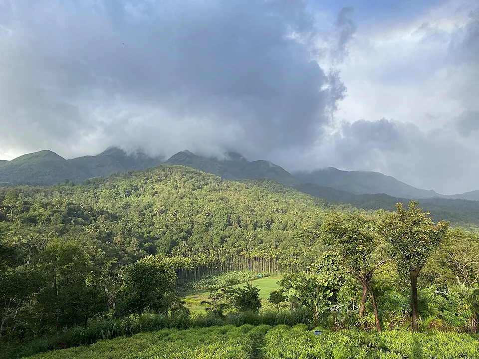
Highland trek and viewpoint landscape above the Banasura reservoir side; access and permissions should be checked locally.
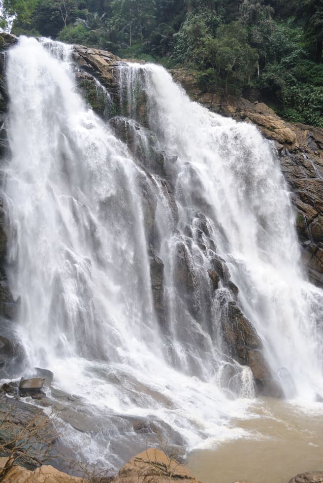
9.1 km · ~15 min by cab
The closed Meppadi–Vaduvanchal waterfall, also listed as Meenmutty Falls trek. The map marks Vaduvanchal bus stand for town orientation, not an open waterfall entrance. Banasura Meenmutty is a different site.
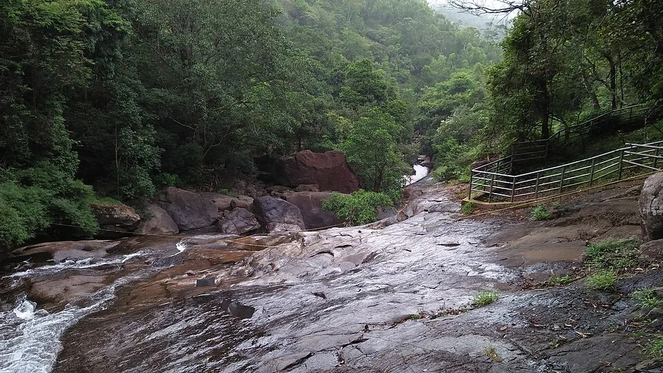
The Banasura-side Meenmutty at Kappikkalam, five kilometres from Banasura Sagar Dam—not the Meppadi or Makkiyad waterfalls with the same name.
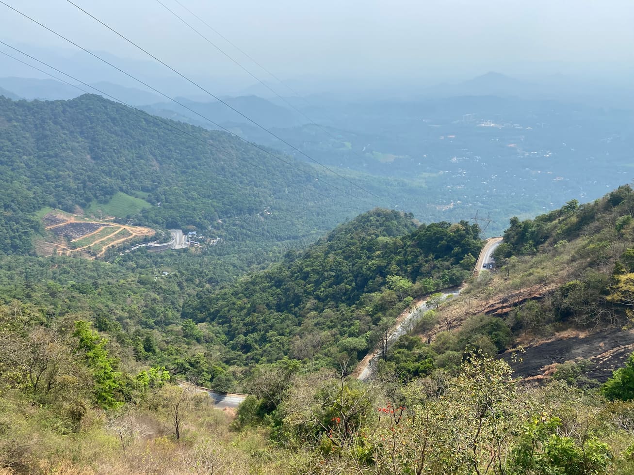
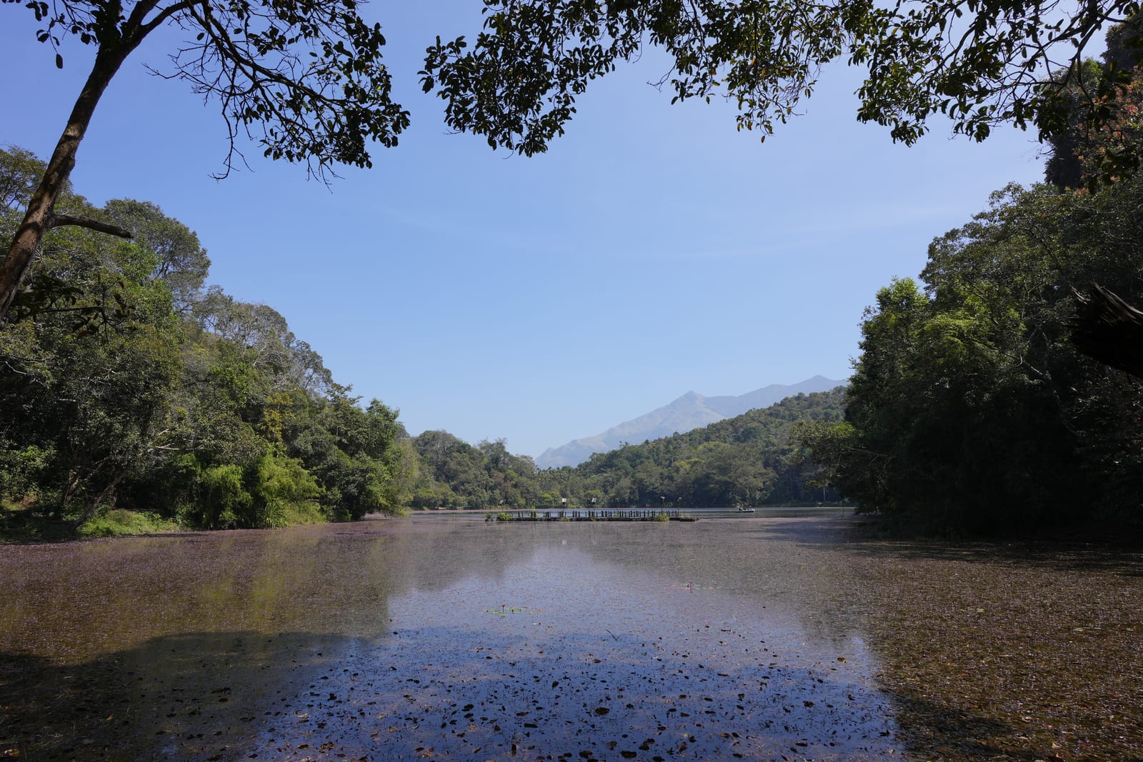
Freshwater lake near Vythiri/Lakkidi, commonly paired with the ghat entrance and En Ooru side.
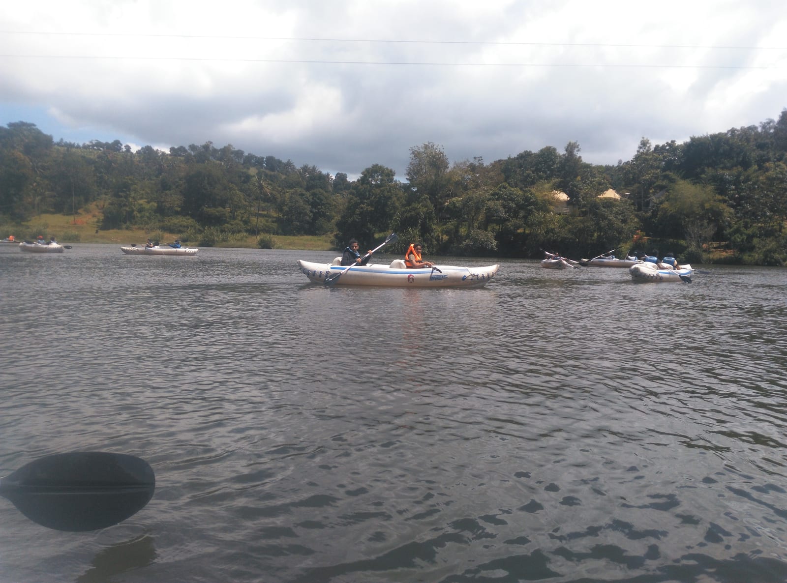
Banasura-side adventure lake used for kayaking, zipline and family activity planning when open.
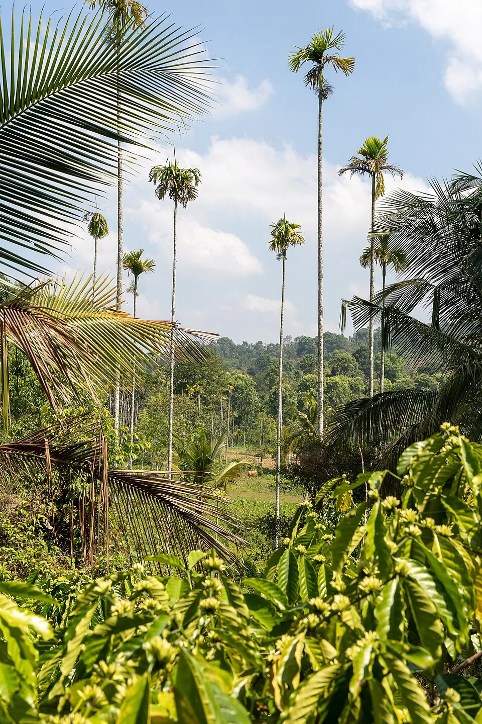
9.3 km · ~15 min by cab
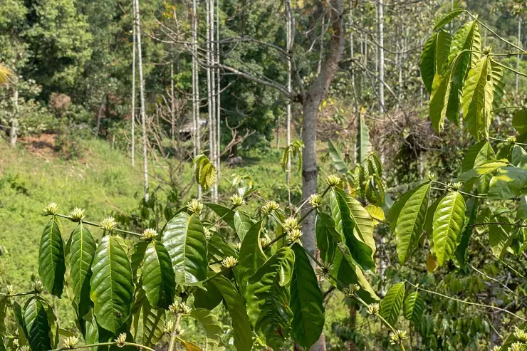
A distributed, working coffee landscape rather than one ticketed attraction: arrange an estate walk with a host, farm or accredited operator, and use Kalpetta town as the honest visitor base.
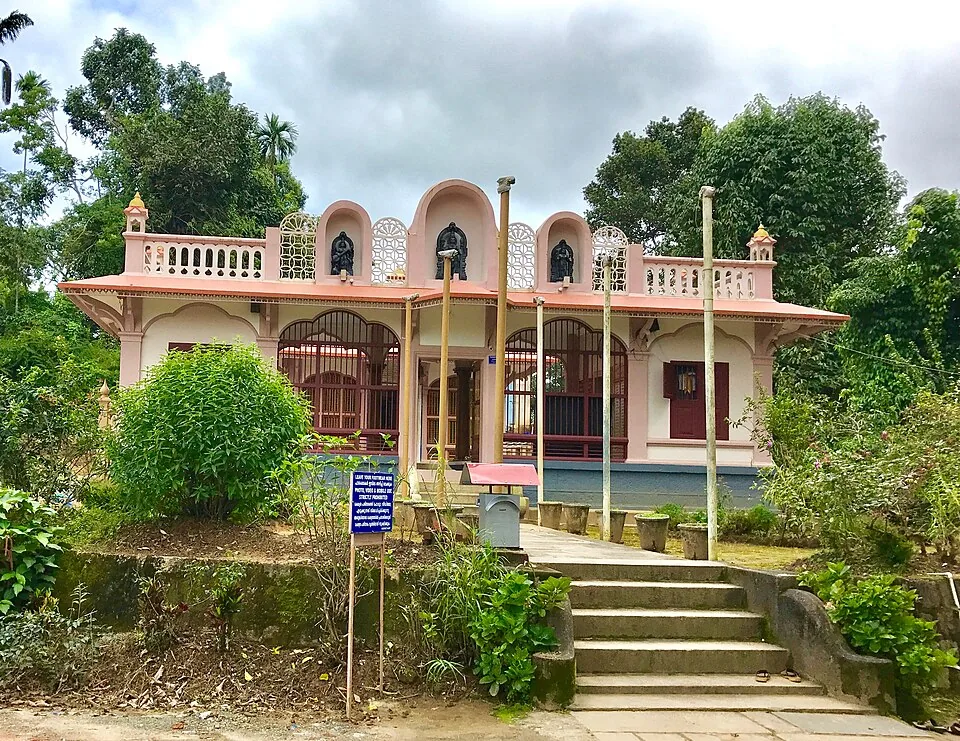
9.1 km · ~15 min by cab
The Anantnath Swami temple at Puliyarmala near Kalpetta — the quieter, living Jain shrine of Wayanad, often paired with the conserved basti at Sulthan Bathery.
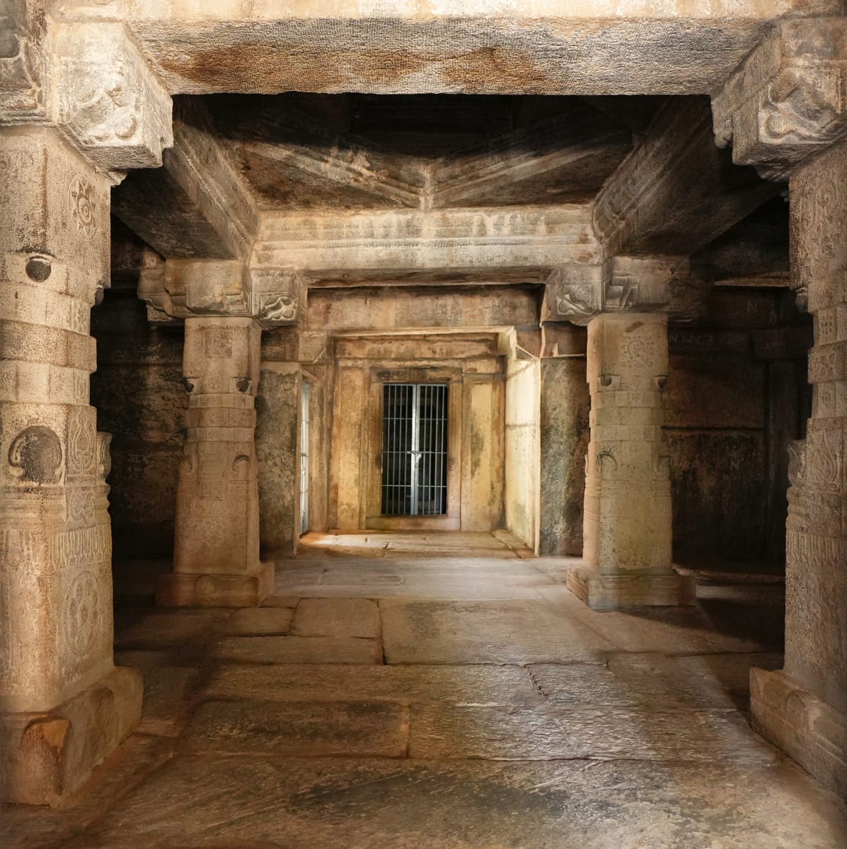
10.2 km · ~17 min by cab
Sulthan Bathery Jain temple with old stone architecture and east-Wayanad heritage context.
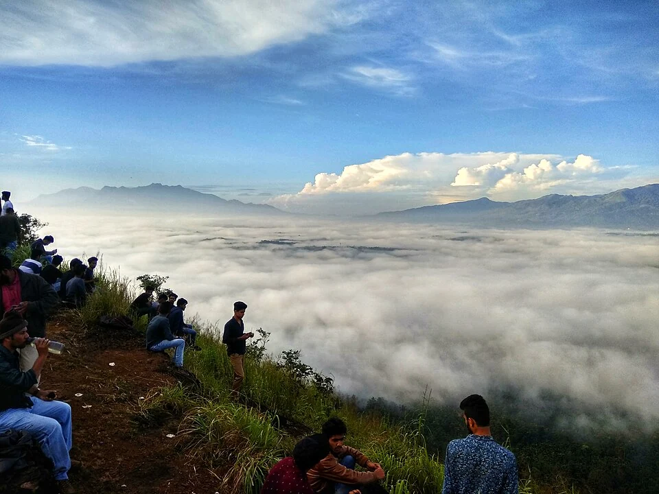
A walked hill viewpoint in the Kottathara area of Wayanad, known for dawn cloud below the ridge and wide daylight views over fields and wooded hills.
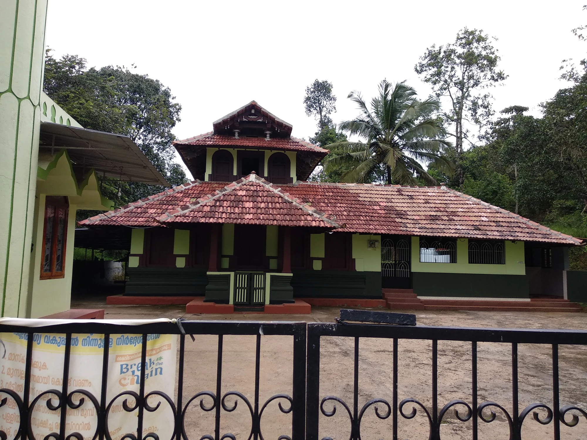
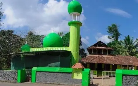
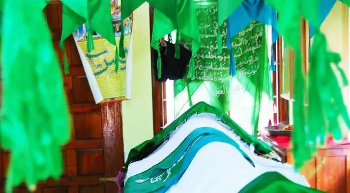
The Varambetta mosque and maqaam complex near Padinjarathara in Wayanad, with a tiled timber shrine, a neighbouring domed prayer building and a documented annual Nercha gathering.
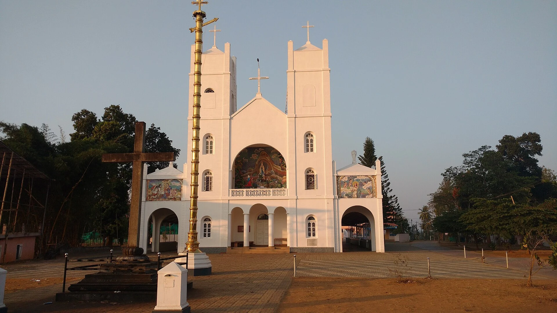
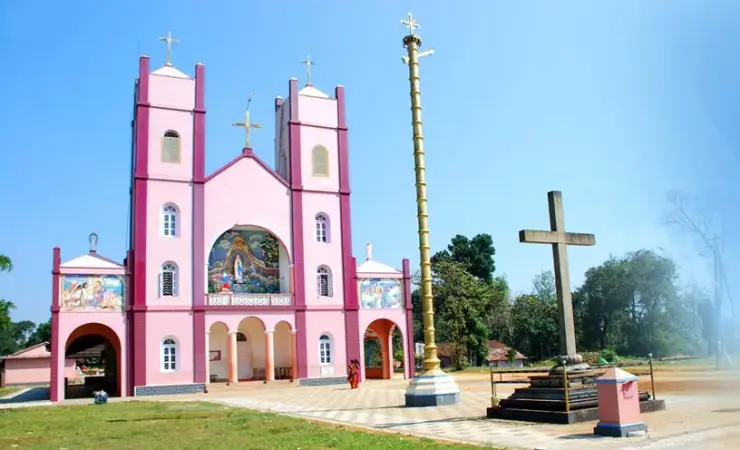
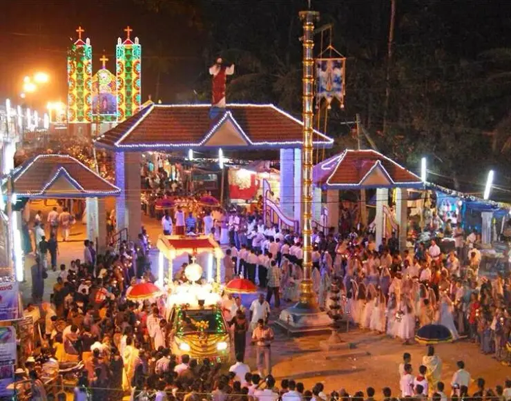
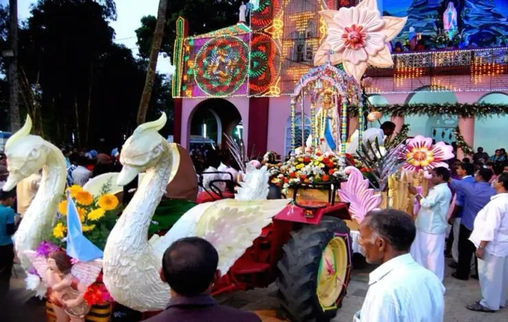
Our Lady of Lourdes shrine at Pallikkunnu in Wayanad, a Latin Catholic church of the Archdiocese of Calicut known for its twin-tower facade, February feast and local devotional customs.
Roampedia is commission-free — own or know a stay, eatery, guide or shop near Karapuzha Dam? List it and it appears here once verified.
Add a nearby businessEntry: A small entry ticket per person, with separate charges for boating, still and video cameras, and any adventure rides such as the zip line when operating.
Photography: A rewarding spot for wide reservoir-and-hills shots, reflections on still water, and warm sunset light; a still or video camera may carry a small extra charge. Mornings and late afternoons are best.
If you are travelling by bus or ferry, check the return service with the operator before setting out. Leave time to reach the stop or jetty after your visit.
Ask at the bus stand for the time of the last service back, not the next one. If you miss it, an auto or app cab is the fallback — agree the fare before you get in.
If you need step-free access, contact the site before travelling. Ask about a level entrance, steps along the route, the nearest drop-off point, seating and accessible toilets.
Emergency numbers are verified against official government and state tourism sources. 112 works anywhere in India.
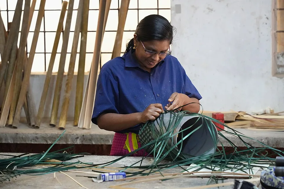
Thrikkaipatta bamboo craft and responsible-tourism village experience, useful from the Vythiri/Lakkidi side.
3.9 km · ~10 min by auto · straight line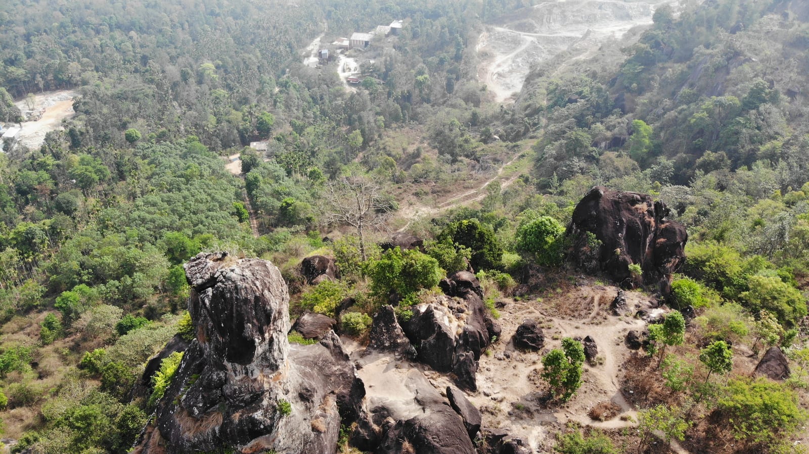
A natural rock formation near Ambalavayal that resembles a human skull, locally called Cheengeri Mala, reached by a short walk and popular as an eastern-Wayanad viewpoint stop.
4.4 km · ~11 min by auto · straight line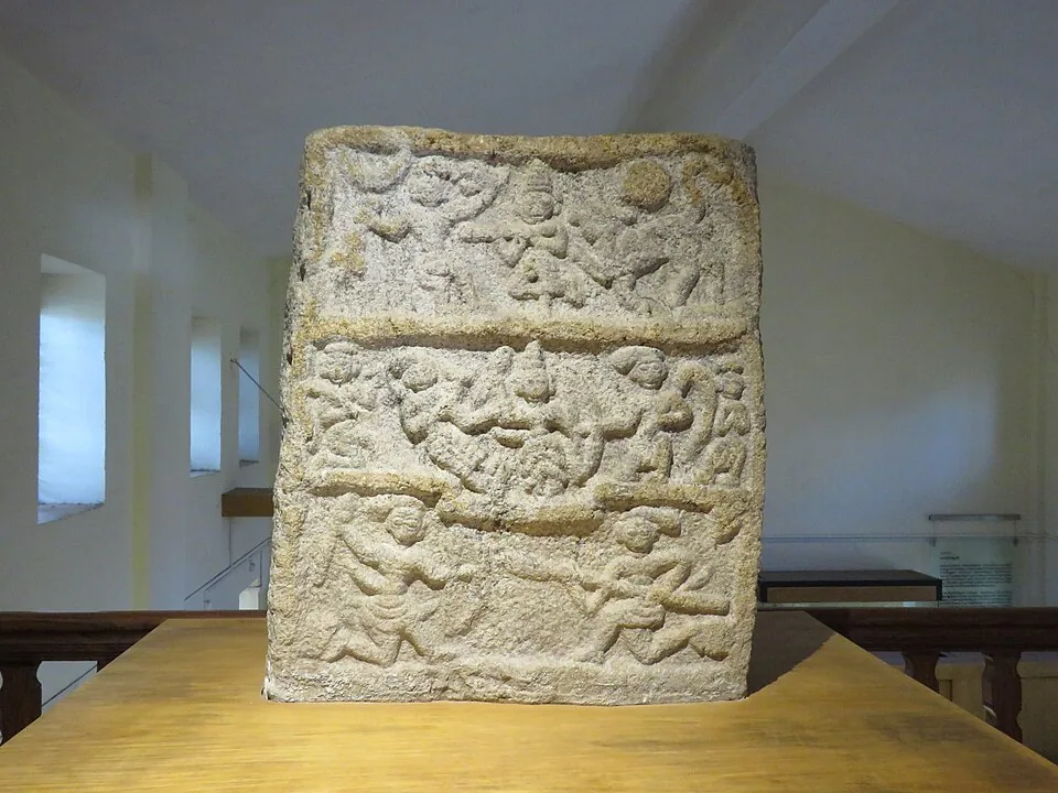
Ambalavayal museum focused on Wayanad archaeology, tribal history and heritage artefacts.
4.7 km · ~12 min by auto · straight line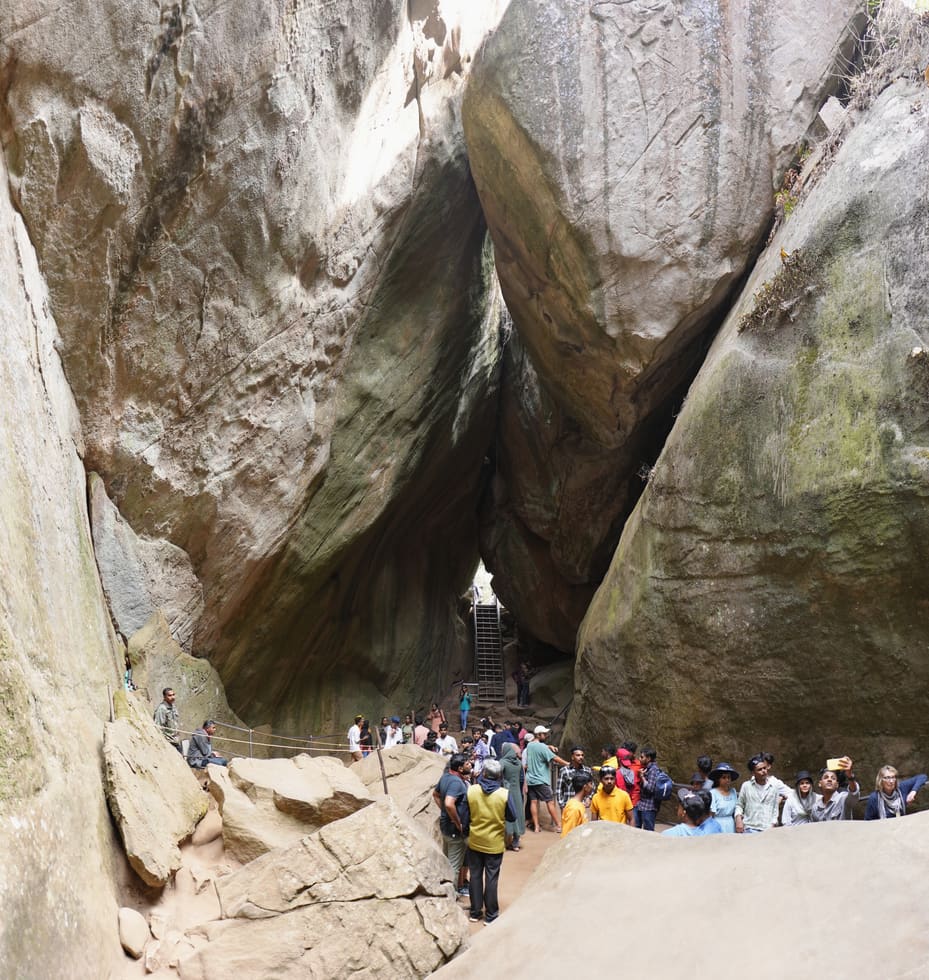
Rock shelter with ancient petroglyphs and a steep Ambukuthi hill walk, best planned from Sulthan Bathery or Ambalavayal.
7.0 km · ~18 min by auto · straight line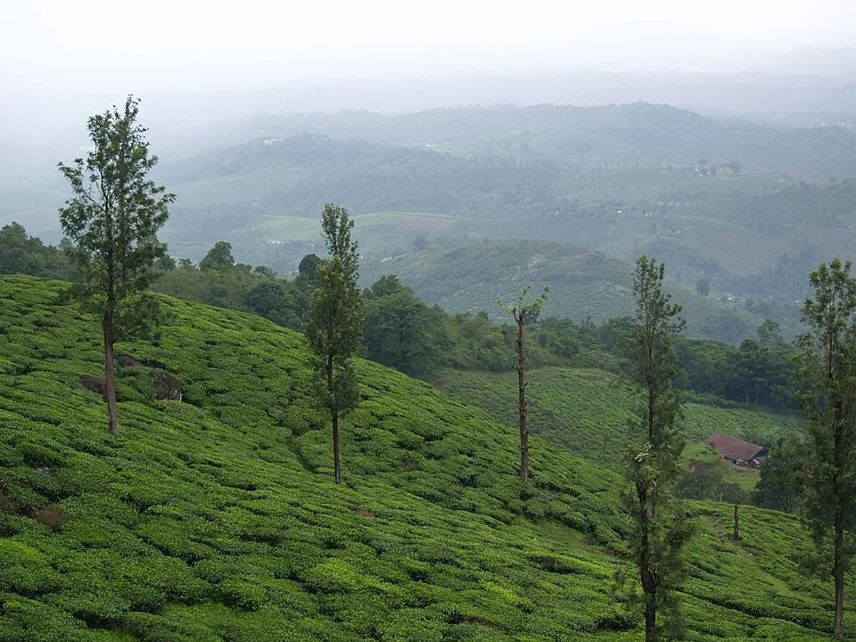
A working tea-estate landscape rather than a single ticketed attraction. The map marks Rippon 52 village as the honest visitor base; any private walk or factory visit needs its own confirmed property address.
8.8 km · ~15 min by cab · straight lineThe Anantnath Swami temple at Puliyarmala near Kalpetta — the quieter, living Jain shrine of Wayanad, often paired with the conserved basti at Sulthan Bathery.
9.1 km · ~15 min by cab · straight lineThe closed Meppadi–Vaduvanchal waterfall, also listed as Meenmutty Falls trek. The map marks Vaduvanchal bus stand for town orientation, not an open waterfall entrance. Banasura Meenmutty is a different site.
9.1 km · ~15 min by cab · straight line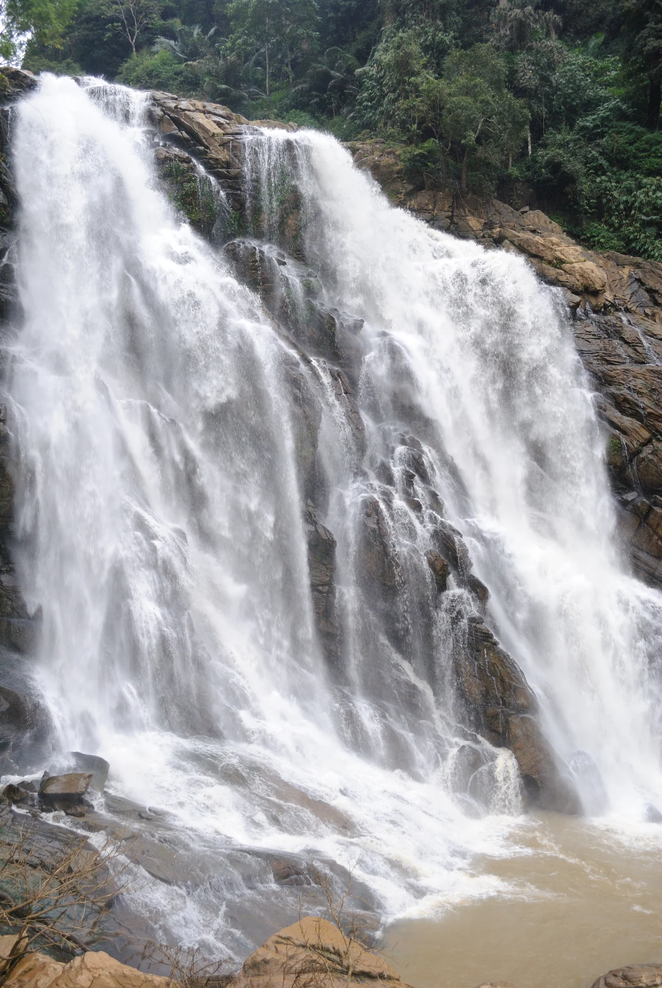
The closed forest approach to Meenmutty Falls near Vaduvanchal on the Meppadi–Gudalur side of Wayanad. This is not Banasura Meenmutty near Padinjarathara; use this guide for identity and access context, not a bookable trek.
9.1 km · ~15 min by cab · straight line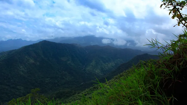
A weather-dependent sunrise viewpoint name in the Vaduvanchal circuit. The map marks Vaduvanchal as the honest reporting base because no authoritative exact public gate is documented; it is not presented as an alias for Neelimala.
9.3 km · ~15 min by cab · straight lineA distributed, working coffee landscape rather than one ticketed attraction: arrange an estate walk with a host, farm or accredited operator, and use Kalpetta town as the honest visitor base.
9.3 km · ~15 min by cab · straight lineSulthan Bathery Jain temple with old stone architecture and east-Wayanad heritage context.
10.2 km · ~17 min by cab · straight line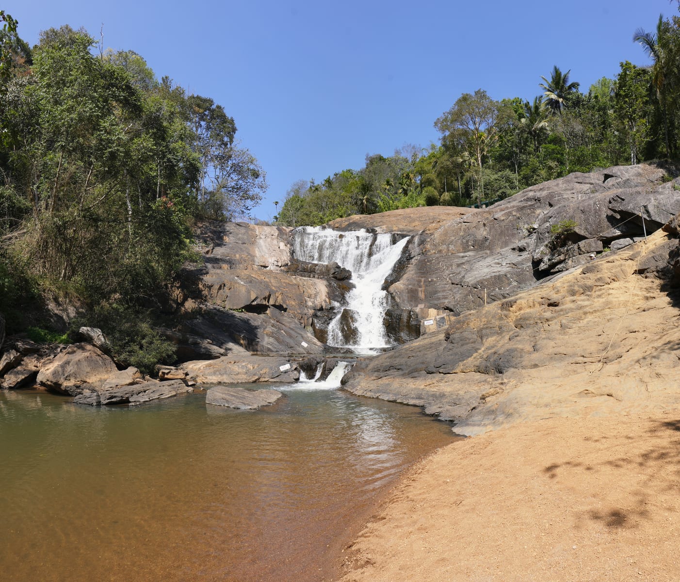
Meppadi-side waterfall with easier access than some larger Wayanad falls, still weather-sensitive in monsoon.
11.2 km · ~19 min by cab · straight lineYes, if you go for what it is — a scenic reservoir and family park rather than a dramatic monument. The open water, gardens, boating, hanging bridge and sunset views make for a relaxed couple of hours, and it is an easy add-on to a Kalpetta itinerary. Set expectations for a calm outing, not an adrenaline hotspot.
No. Karapuzha is a modern irrigation project, built over the late twentieth century, so it carries no ancient myth or temple legend. Its interest is engineering and nature — a long-delayed dam that created a beautiful reservoir — rather than folklore. It is best appreciated honestly on those terms.
The site is generally open through the day, with entry to the dam typically closing in the late afternoon (often cited around 9:00 am to about 6:00 pm, last entry mid-to-late afternoon). A small entry ticket applies, with extra charges for boating, camera use and any adventure rides.
Late monsoon into early post-monsoon (roughly August to September) is when the reservoir is fullest and the surroundings greenest, while October to February brings pleasant, cool, clear weather ideal for boating and walking. Aim for morning or the hour before sunset for the best light and the calmest water.
It lies a short drive from Kalpetta town, on the order of ten to fifteen kilometres depending on the route. A taxi or auto-rickshaw from Kalpetta takes well under half an hour, and it slots easily alongside other Wayanad sights in a day.
Very much so. Alongside the reservoir there are landscaped gardens, a children’s play area, gentle boating and a hanging bridge, all of which suit families with kids and older visitors who want scenery without a hike. It is one of the more easy-going outings in the Kalpetta area.
Entry: A small entry ticket per person, with separate charges for boating, still and video cameras, and any adventure rides such as the zip line when operating. Timings: Generally open daily through the day, with dam and park access typically running from around 9:00 am and entry to the dam closing in the late afternoon (often cited around 6:00 pm closing, last entry mid-to-late afternoon).
Base yourself in Kalpetta or a nearby town in Wayanad, then confirm the last-mile route locally before leaving. Check public access status before travel; dam areas often have security rules and seasonal entry limits. If the visit depends on forest, temple, boat, ferry, weather or seasonal access, check the official/local rule on the day before travel.
1 to 2 hours.
Nearby you can pair Uravu Bamboo Village (3.9 km), Phantom Rock (4.4 km), Wayanad Heritage Museum (4.7 km), Edakkal Caves (7.0 km).
Do not cross barriers or restricted zones. Follow release-warning and security instructions.
We have not published a story about Karapuzha Dam itself yet. These cover Kalpetta and the wider district, with separate journeys between stops.
These guides explore Kalpetta and the surrounding area. Choose a visit that fits your interests, allowing separately for travel between stops.

Written about Kalpetta as a whole rather than about Karapuzha Dam — its history, its streets, and how to spend a day in it.

Route-level itineraries and practical guides for the rest of Kerala.
Photographs: Soumendra Kumar Sahoo (CC BY-SA 4.0), Rameshng (CC BY-SA 3.0), Ingo Mehling (CC BY-SA 4.0), Jstalins (CC BY-SA 4.0), Vinayaraj (CC BY-SA 3.0). Wikimedia Commons.