Kurumbalakotta

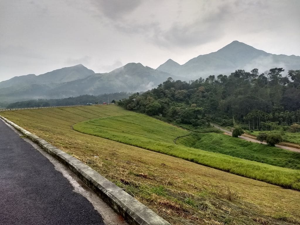
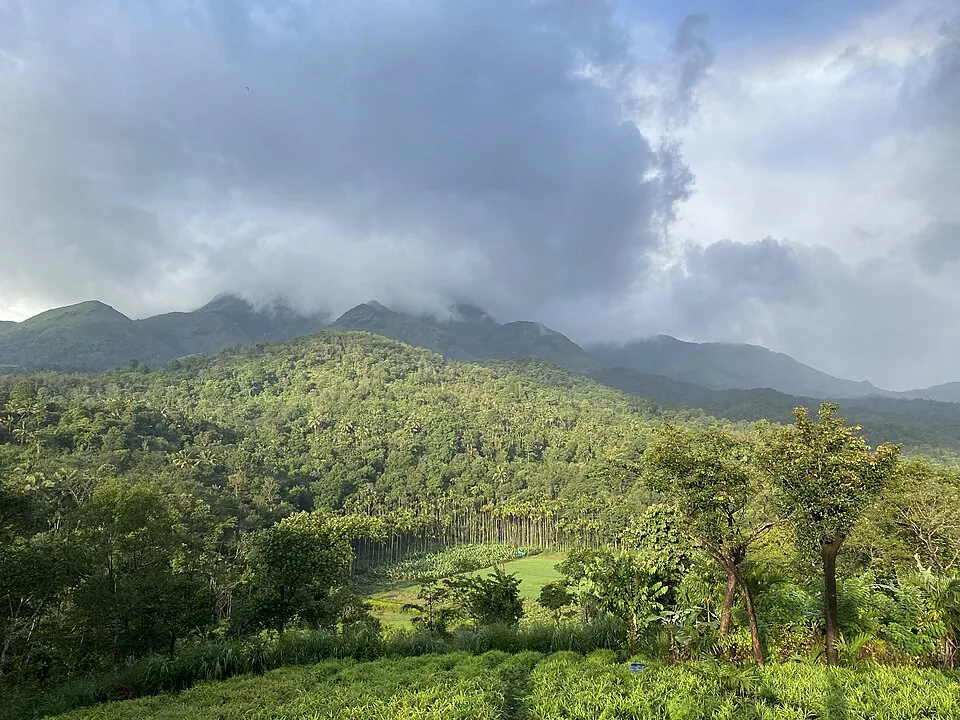
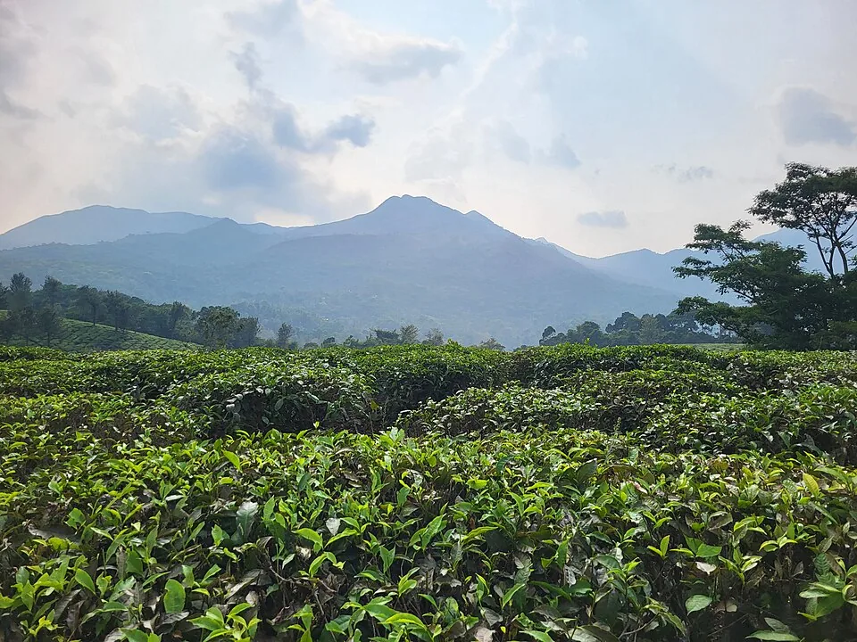
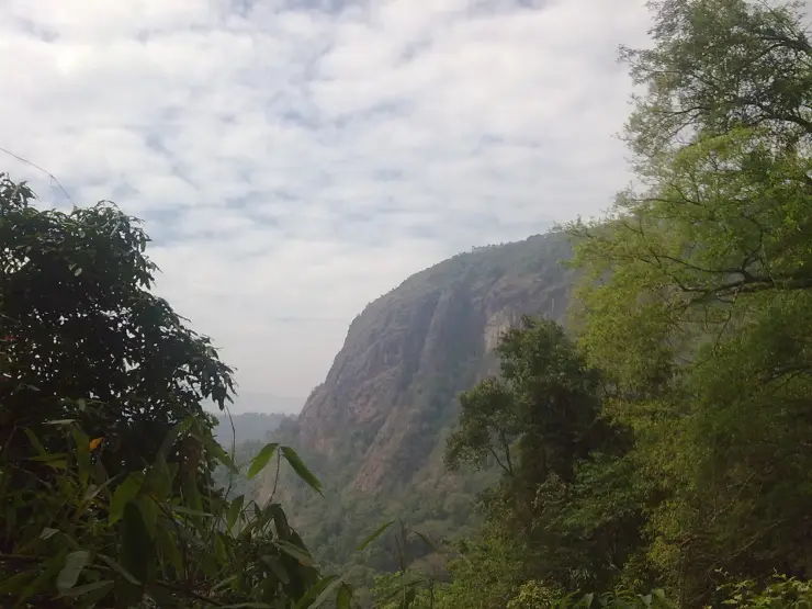
Kurumbalakotta is a hill viewpoint in Wayanad’s Kottathara area, reached on foot from the surrounding settlements. It is best known for mornings when low cloud fills the country below the ridge, but clear daylight reveals another worthwhile scene: fields, tree cover and the larger hills surrounding the central Wayanad landscape.

Kurumbalakotta, Kalpetta
Practical guide

Plan Kurumbalakotta

Who's going?Tailor Kurumbalakotta to your trip
Typeviewpoint
AreaKalpetta
DistrictWayanad
Best timeDawn is the signature experience, but…
Time neededReserve a morning for the foothill…
EntryVaries — see below
Places to visit9Listed businesses39

Kottathara Grama Panchayat places the hill at the meeting area of Kottathara, Kaniyambetta and Panamaram panchayats and gives an elevation of about 991 metres. Kalpetta is a practical wider travel base, not the start of the climb. Settle the actual foothill arrival and permitted walking route before organising a dawn transfer.

The story

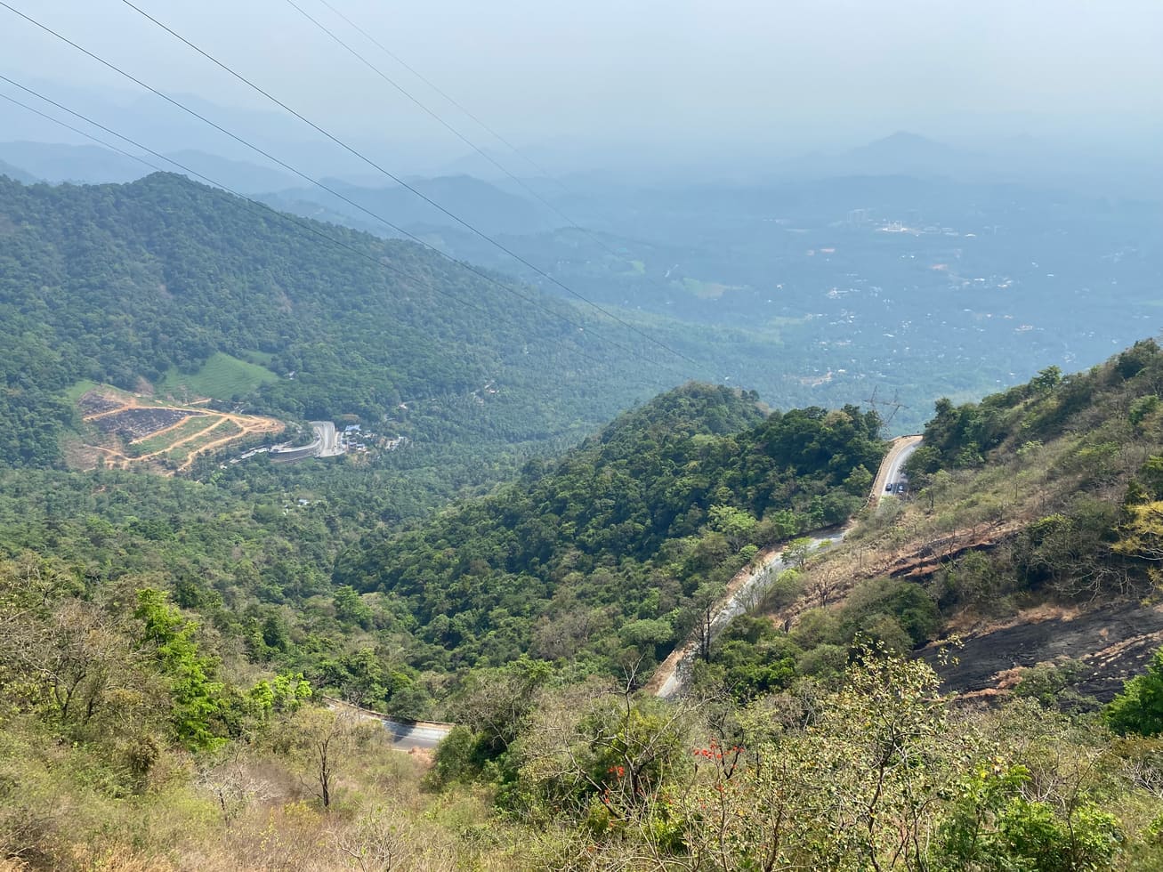
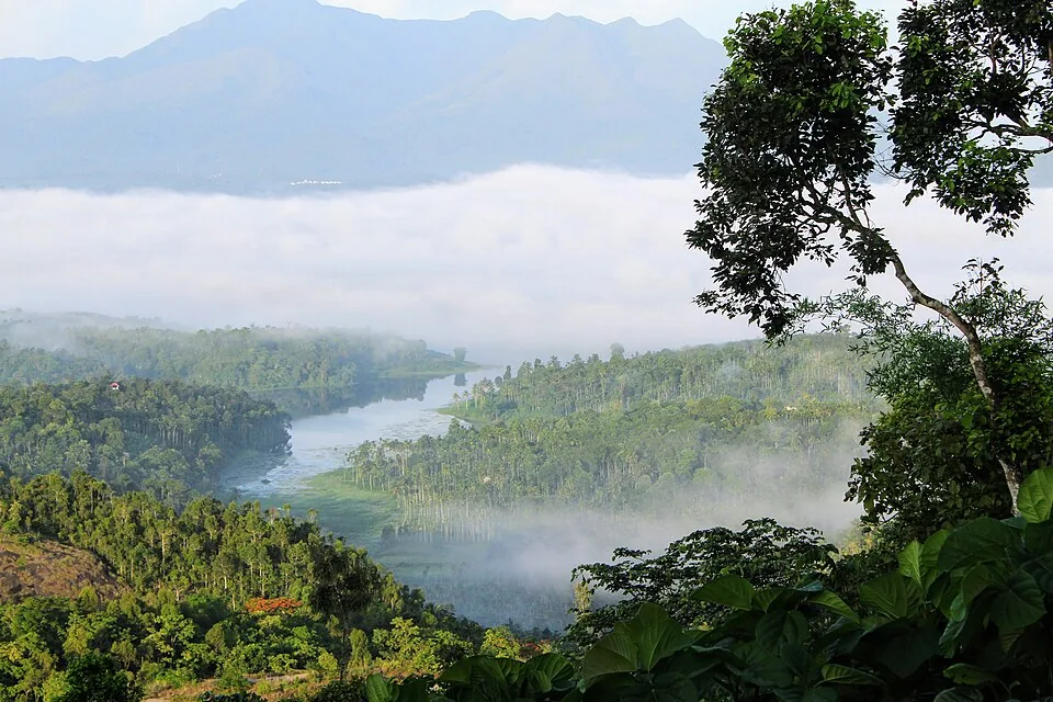
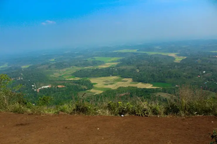
When the air is clear at Kurumbalakotta, the valley resolves into shapes made by people: rectangular fields, bands of trees and small clusters of roofs. On another morning, low cloud covers much of that detail and leaves the higher hills standing above a pale surface.

The story of Kurumbalakotta

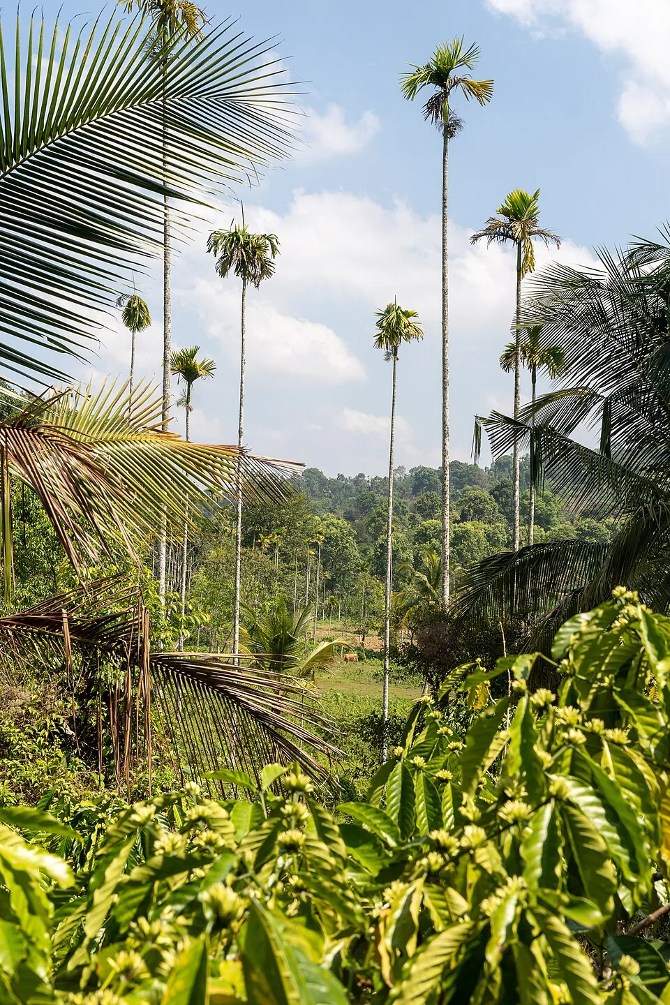
The hill’s position within Wayanad is part of its appeal. It provides a raised place from which to look across the inhabited interior, rather than requiring the visitor to enter one of the district’s larger forest trekking areas. The scene below is neither empty nor uniform. Looking for the boundaries between fields, tree cover and settlement makes a daylight visit rewarding even without a dramatic cloud layer.

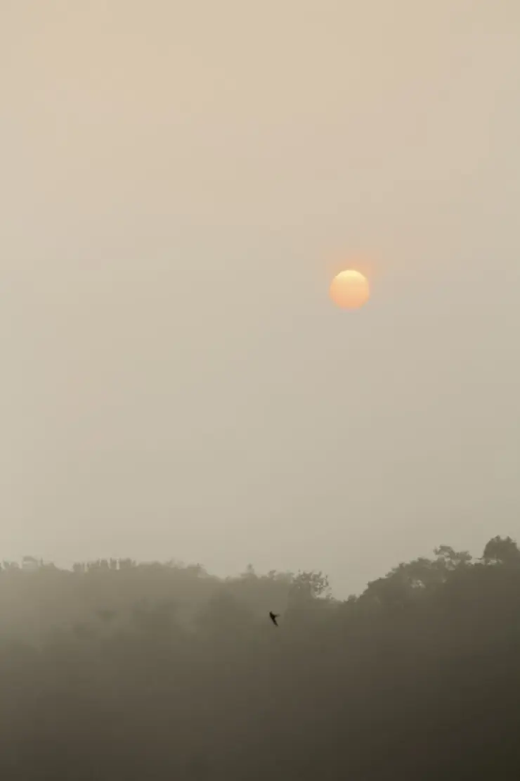
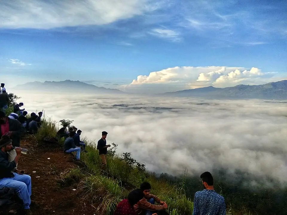
The phrase sea of clouds describes an appearance, not a feature that stays in place. A low white layer can lie below the ridge while the distant high ground remains visible. It can also rise, thin or hide the horizon completely. Arriving early gives access to a period of changing light; it cannot guarantee the particular atmospheric arrangement seen in a favourite photograph.

Foreground matters here. Grass, exposed earth and rock give a sense of where the visitor stands above the view. Removing all of that from a photograph can make the scene seem like an aerial view, but retaining a little foreground explains the hill’s relationship with the country below. There is no need to move closer to an edge merely to remove a branch or a patch of grass.

A rock slope and an easy-looking grass surface can occur beside one another. The accessible viewing area should not be taken as evidence that the whole hill is equally manageable. In mist, a steep edge may be hidden only a short distance from clear ground. Follow the agreed walking line rather than a procession of people whose destination and familiarity with the hill are unknown.

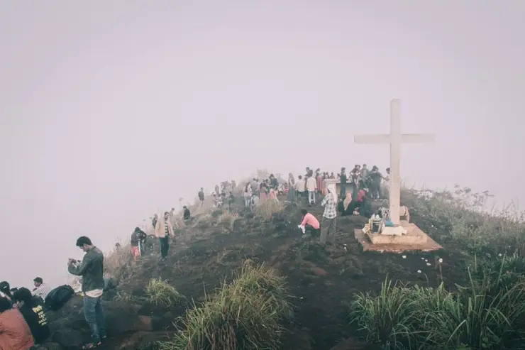
The crowd itself is sometimes part of the dawn scene. Photographs show visitors gathered along the ridge, including near a large white cross. Allow space for people to pass and keep quiet enough for others to enjoy the morning. A religious marker deserves ordinary respect even when the purpose of your own visit is the panorama.

As light increases, attention can move from the sky to the land. The paddy-field patterns described in Kerala Tourism’s account become more legible, while wooded hills form darker shapes beyond them. Keep distant peaks unnamed unless a reliable local identification is available. A panorama does not become more informative by assigning an impressive mountain name to every skyline.

The descent reconnects the viewpoint with its surrounding villages. The route passes through a landscape used by residents, not a sealed-off scenic exhibit. Stay on the accepted access, avoid trampling crop edges and return to the collection point agreed with the driver. That makes the visit workable for both the walking group and the people whose roads and paths it uses.

Kottathara Panchayat describes Kurumbalakotta through its position near the meeting of Kottathara, Kaniyambetta and Panamaram panchayat areas. These are useful names to recognise when a local driver describes the approach. Kalpetta is the broader travel hub used for this guide, while the hill and its foothill lanes have their own geography. A booking made simply for Kalpetta therefore still needs a destination and a collection point for the hill walk.

The western foothill approach has a religious landscape of its own. The named trekking start used on this map is beside St Mary’s grotto, with other church markers along nearby lanes. The upper viewpoint is a separate position above it. Save both the name of the foothill meeting point and the driver’s agreed return arrangement before setting out; selecting a summit symbol alone can send navigation towards a different side of the hill. This is particularly relevant when travelling before daylight, when the road junctions and building entrances are harder to distinguish.

From a settled viewing position, it is possible to follow the morning as a sequence. First the brighter part of the sky establishes the direction of the approaching sun. Then individual ridges separate from the darker country below. Later, trees and field boundaries become the main subjects. Each stage asks for a different photograph, so remaining in one comfortable place can reveal more than repeatedly moving through the gathering crowd. The hill’s appeal includes that gradual recognition of an inhabited landscape as the light strengthens.

A traveller continuing towards Panamaram will be thinking about a different onward journey from someone returning to Kalpetta. Make that distinction before the climb, while the driver and the group are together. Keep luggage and any later hotel transfer attached to the road plan, rather than carrying the entire day’s arrangements up to the viewpoint. The sunrise walk is easiest to enjoy when its descent ends at a known vehicle or a clearly agreed local pickup.
Read the full history of Kurumbalakotta 296 more words

History

Kurumbalakotta carries several strands of local historical memory. Kerala Tourism’s July 2014 account records a tradition of a fort associated with a Kurumbapaalakan, described as a king, and songs connecting it with the Veda dynasty. That account is a record of traditions about the hill; it does not supply an excavated fort plan or a secure construction date.

Kottathara Panchayat’s current account associates the hill with Kerala Varma Pazhassi Raja’s resistance to the British and describes it as a base for guerrilla activity. This is the local authority’s historical account. It should be kept distinct from the older king-name tradition rather than combining every association into one precisely dated fortress.

The physical reason for such lookout stories is easy to appreciate from the viewpoint. A wide prospect makes the surrounding land visible from a single raised position. That observation explains the attraction of the setting as a lookout; it does not prove which ruler used a particular patch of rock or earth.

Kerala Tourism’s older article also describes the nearby Bhagavathy temple as part of the descent itinerary. A temple visit is a separate respectful stop, dependent on the actual route and local access. The hill’s cultural interest can be understood without turning a morning walk into a search for unverified ruins or entering a shrine simply because it appears on an old itinerary.

Why visit

Choose Kurumbalakotta for a raised view of central Wayanad’s fields and wooded hills.

A dawn visit offers changing light and the possibility of cloud below the ridge, while daylight makes the inhabited landscape clearer.

The lookout traditions provide a local historical dimension to a view that can otherwise be treated only as a photograph.

It suits a deliberately paced morning outing from the Kalpetta side when the route and weather are suitable.

What to expect

Highlights

  • A high viewpoint above a lived-in landscape of fields, trees and scattered settlements.
  • The possibility of cloud below the viewing ridge, with distant high ground visible above it.
  • An approachable hill outing whose character changes markedly between misty dawn and clear daytime.
Getting there

How to visit

  • Approach the foothill through the locally advised route from Venniyod, Kambalakkad or the Kalpetta–Panamaram side, keeping the agreed trail start attached to the transport plan.
  • For dawn, arrange a local guide or someone familiar with the current permitted approach and settle the return before leaving the vehicle.
  • Remain on the established walking line and use a secure viewing position. Do not create shortcuts through grass, fields or private land to reach an apparent gap in the crowd.

Distance by road

  • Kozhikode71 km
  • Mysuru138 km
  • Coimbatore210 km
  • Mangaluru254 km
  • Kochi256 km

Road km to Wayanad; ghat roads and traffic vary — allow extra.

Timing

Best time

Dawn is the signature experience, but the cloud layer is weather-dependent and can obscure the viewpoint as well as lie below it. A clear daylight visit is useful for reading the fields and hills. Avoid an exposed climb during thunder, heavy rain or visibility too poor to follow the return.

Weather in KurumbalakottaSeasonal guide

Live forecast loads in your browser.

Today at Kurumbalakotta
Sunrise6:15 am
Sunset6:10 pm
Golden hour best light5:10 pm–6:10 pm
Blue hour after sunset6:10 pm–6:35 pm
Sun sets toward compass bearingW · 263°
Moon tonight🌑 New moon · 0%
Retreating monsoon. October and November still see spells of rain from the retreating monsoon, though it is usually lighter than mid-year. Conditions are generally good but worth checking.

Sun and moon are calculated for this location and shown in IST. Photography windows are the hour around sunrise and sunset; the sunset bearing is degrees clockwise from true north. Moon phase is accurate to about half a day.

Visitor notes

  • The panchayat recommends the early-morning view; that recommendation is not a formal published opening-hours schedule.
  • Kurumbalakotta, Kurumbalakkotta and Kurumbala Kotta are spellings used for the same Wayanad hill.
  • Different map listings mark a trail start, viewpoints and private stays. A hill-name search alone can send a driver to the wrong side.
  • The map marks the western foothill trekking start beside St Mary’s grotto. It is an arrival reference for that approach, not a claim that every group uses the same route.
Safety

Good to know

  • Use a route known to your local escort in darkness and keep the group together during the descent.
  • Stay back from steep rock edges, particularly when cloud hides the drop.
  • A private tent-stay booking does not authorise camping anywhere on the hill.
Stay · eat · do · rent · see · shop

Stays, food & things to do near Kurumbalakotta

Browse listed stays, food, activities, sights, shops and rentals around Kurumbalakotta. Check each listing’s locality and contact the business directly for current arrangements.

5 places to eat near Kurumbalakotta

Cafe · Kalpetta
Cafe 41 by Alibaba Kalpetta
11.3 km · straight-line distance

Cafe 41 by Alibaba is a Kalpetta cafe at Mazarine Hotel, useful as a sourced cafe stop for central Wayanad stays and town transfers. Cafe, Mazarine Hotel, Town food.

Directions Commission-freeView details
Restaurant · Kalpetta
Food Platter - Hotel Haritagiri
10.7 km · straight-line distanceMulti-cuisine (Malabar, North & South Indian, Continental)

The multi-cuisine restaurant inside Hotel Haritagiri on Kalpetta main road. Its menu spans Malabar, Mughlai and Continental, with a garden restaurant alongside.

Directions Commission-freeView details
Restaurant · Kalpetta
Indriya Wayanad Restaurant
11.8 km · straight-line distanceMulti-cuisine

The multi-cuisine restaurant at the four-star Indriya hotel by Kalpetta's bus terminal. Diners eat beside a rooftop pool with terrace views over Wayanad.

Directions Commission-freeView details
Restaurant · Kalpetta
Spice Route - Oshin Hotels
10.3 km · straight-line distanceMulti-cuisine (Indian, Tandoor, Chinese, Continental)

Spice Route is the restaurant at Oshin Hotels opposite Kalpetta Civil Station. It runs a separate green kitchen for pure-vegetarian and Jain guests.

Directions Commission-freeView details
Restaurant · Kalpetta
1980's Nostalgic Restaurant Kalpetta
10.8 km · straight-line distance

1980's Nostalgic Restaurant is a Kalpetta food stop for Kerala meals and Wayanad town dining, useful for source-backed food planning near the bypass/Civil Station side. Kalpetta food, Kerala meals, Restaurant.

Directions Commission-freeView details

Book with the place itself. India’s cyber-crime coordination centre warned in April 2025 that convincing copies of hotel and pilgrimage booking sites are being pushed through sponsored search and social ads, taking payment for rooms the property never hears about. Use the contact and source details on each profile to confirm the exact business and booking channel. A directory entry or map pin alone does not establish an operator’s identity or current availability. Roampedia takes no commission and does not collect booking payments. If a booking page reached you through an ad, check the address bar against the property’s own site before you pay. Fraud can be reported on cybercrime.gov.in or on 1930.

Nearby guides

Top experiences around Kurumbalakotta

13 more places around Kalpetta. Open a guide to plan the visit and onward journey.

damBanasura Sagar Dam

7.9 km · straight line

Large earth-fill dam with mountain views and reservoir activities, usually planned from Kalpetta or Vythiri with current activity checks.

trekBanasura Hills

8.8 km · straight line

Highland trek and viewpoint landscape above the Banasura reservoir side; access and permissions should be checked locally.

waterfallMeenmutty Waterfalls

The closed Meppadi–Vaduvanchal waterfall, also listed as Meenmutty Falls trek. The map marks Vaduvanchal bus stand for town orientation, not an open waterfall entrance. Banasura Meenmutty is a different site.

waterfallBanasura Meenmutty Waterfalls

9.6 km · straight line

The Banasura-side Meenmutty at Kappikkalam, five kilometres from Banasura Sagar Dam—not the Meppadi or Makkiyad waterfalls with the same name.

viewpointLakkidi View Point

Ghat-road viewpoint at the entrance to Wayanad from the Kozhikode side.

backwaterPookode Lake

Freshwater lake near Vythiri/Lakkidi, commonly paired with the ghat entrance and En Ooru side.

damKarapuzha Dam

Reservoir and garden-side attraction near the Ambalavayal/Kalpetta side of Wayanad.

backwaterKarlad Lake

13.3 km · straight line

Banasura-side adventure lake used for kayaking, zipline and family activity planning when open.

natureCoffee Plantations around Kalpetta

11.3 km · straight line

A distributed, working coffee landscape rather than one ticketed attraction: arrange an estate walk with a host, farm or accredited operator, and use Kalpetta town as the honest visitor base.

jainPuliyarmala Jain Temple

9.0 km · straight line

The Anantnath Swami temple at Puliyarmala near Kalpetta — the quieter, living Jain shrine of Wayanad, often paired with the conserved basti at Sulthan Bathery.

jainJain Temple

Sulthan Bathery Jain temple with old stone architecture and east-Wayanad heritage context.

mosqueVarambetta Mosque

7.2 km · straight line

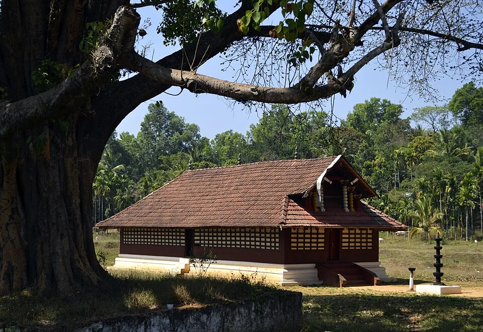
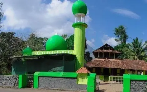
The Varambetta mosque and maqaam complex near Padinjarathara in Wayanad, with a tiled timber shrine, a neighbouring domed prayer building and a documented annual Nercha gathering.

churchPallikkunnu Church

3.5 km · straight line

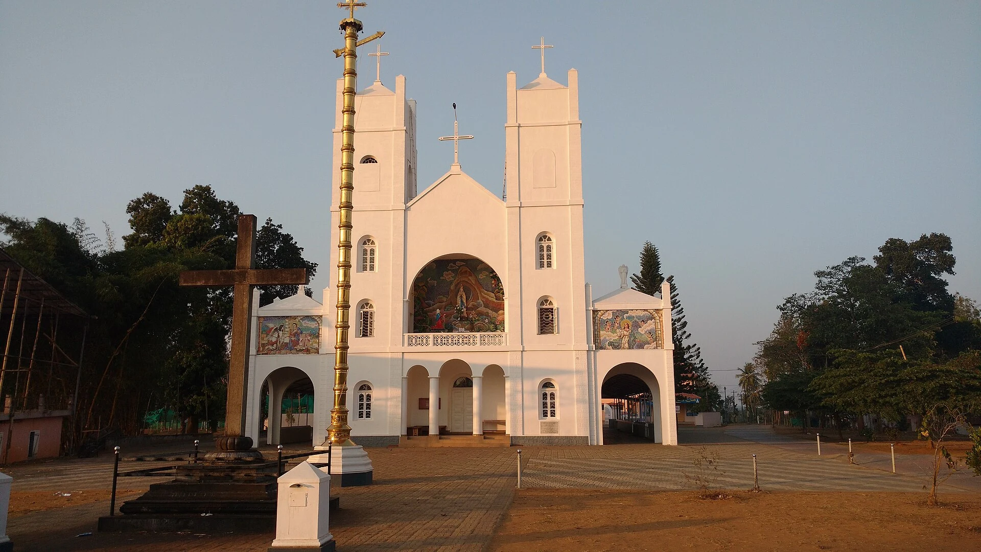
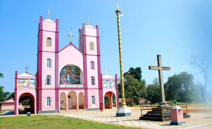
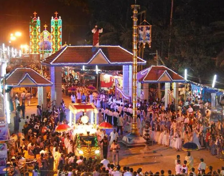
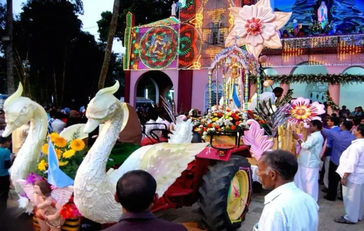
Our Lady of Lourdes shrine at Pallikkunnu in Wayanad, a Latin Catholic church of the Archdiocese of Calicut known for its twin-tower facade, February feast and local devotional customs.

Roampedia is commission-free — own or know a stay, eatery, guide or shop near Kurumbalakotta? Submit public business details for review.

Add a nearby business
Before you go

Kurumbalakotta — at a glance

OperatorLocal access arrangements; Kottathara Grama Panchayat publishes destination information
TimingsThe panchayat recommends reaching the top around 5–6am for the early view; this is not a formal opening schedule. Ask the driver or local host about the usable approach before committing to a pre-dawn arrival.
Best timeDawn is the signature experience, but the cloud layer is weather-dependent and can obscure the viewpoint as well as lie below it. A clear daylight visit is useful for reading the fields and hills. Avoid an exposed climb during thunder, heavy rain or visibility too poor to follow the return.

Entry: A verified general hill-admission tariff is not available from the current official visitor descriptions. Confirm any charge for the chosen access, private parking or guide separately; do not assume a tent-stay price is an entrance fee.

Booking: Agree current foothill access, any guiding arrangement and the return vehicle before a dawn outing. Book a private stay separately if required.

Parking: Agree a legitimate parking or drop-off place with the local access contact. Foothill roads also serve homes and farms; keep gates, turning space and residential access open.

Getting here

How to reach Kurumbalakotta

  • ✈︎ By air Calicut International Airport is a practical regional gateway for the Kalpetta side. Build the hill outing around the overnight base and local approach rather than a tight connection from an arriving flight.
  • 🚆︎ By train Kozhikode is a practical major railway gateway for a Kalpetta-based journey. The onward road transfer enters Wayanad before the separate local trip to Kurumbalakotta; there is no rail arrival at the hill.
  • 🚗︎ By road Arrange the foothill transfer through the Venniyod or Kambalakkad side appropriate to the chosen route. Give the driver the exact local starting landmark; do not use a private tent-stay pin or an upper viewpoint as a substitute for vehicle arrival.
  • 🚌︎ By bus Use Kalpetta, Kambalakkad and the Panamaram corridor for onward transport planning. A dawn outing generally requires an arranged final transfer rather than an assumption that a bus reaches the trail start at that hour.
Getting around

Getting around Kurumbalakotta

Walk the agreed approach with someone who knows the current access, especially before daylight. Keep off crop edges and closed or private tracks.

Getting back

Keep the same named collection point for the descent and arrange the driver’s waiting or return before beginning. Dawn finishes at different times depending on visibility and the group’s walking pace.

Do

Things to do

  • Watch dawn light from a secure position when the route and weather allow.
  • Read the pattern of fields and wooded land during a clear daytime view.
  • Learn the different lookout traditions without expecting a reconstructed fort.
  • Photograph the relation between foreground grass, ridge and distant hills without approaching an edge.
Facilities

On site

  • The panchayat describes local tent-stay options, which require their own booking and access arrangement.
  • A viewpoint visit does not establish access to the toilets, meals or parking of a private stay.
  • Plan a dependable breakfast and comfort stop in the approach settlement or at your accommodation.
Stay safe

Safety

  • Stay on the established route and keep the group together in darkness.
  • Keep back from steep rock and earth edges in mist.
  • Leave exposed ground during thunder or worsening weather.
  • Respect private land and arrange any overnight stay legitimately.
Getting around Kurumbalakotta
From the entrance
Kurumbalakotta western foothill trekking start beside St Mary’s grotto
Step-free access
The hill visit includes uneven ascent and descent and exposed viewing ground. No continuous step-free route is established by the official descriptions. Anyone with limited balance or endurance should discuss the actual route and a realistic stopping point before leaving the vehicle.

Checked 6 September 2026 against source 1source 2. Conditions change and surfaces vary with weather — if step-free access is essential, confirm with the site before you travel.

Eat nearby

What to eat in Kalpetta

Tie food to the village or accommodation plan. A dawn visit usually works better with breakfast after the descent than with an assumption that a hilltop vendor will be operating.

Explore food in Kalpetta →
01

Breakfast after the climb

Arrange a meal at your stay or in the approach settlement once the group has returned to the collection point.

02

Tea on the Kambalakkad side

Use a proper roadside stopping place during the transfer, with enough room for the vehicle to stand clear of local traffic.

03

A booked stay’s meal

If using a tent stay, confirm which meals it actually provides and where they are served before treating them as part of the hill outing.

Nearby

What’s near Kurumbalakotta

churchPallikkunnu Church

Our Lady of Lourdes shrine at Pallikkunnu in Wayanad, a Latin Catholic church of the Archdiocese of Calicut known for its twin-tower facade, February feast and local devotional customs.

3.5 km · straight line
mosqueVarambetta Mosque

The Varambetta mosque and maqaam complex near Padinjarathara in Wayanad, with a tiled timber shrine, a neighbouring domed prayer building and a documented annual Nercha gathering.

7.2 km · straight line
damBanasura Sagar Dam

Large earth-fill dam with mountain views and reservoir activities, usually planned from Kalpetta or Vythiri with current activity checks.

7.9 km · straight line
trekBanasura Hills

Highland trek and viewpoint landscape above the Banasura reservoir side; access and permissions should be checked locally.

8.8 km · straight line
jainPuliyarmala Jain Temple

The Anantnath Swami temple at Puliyarmala near Kalpetta — the quieter, living Jain shrine of Wayanad, often paired with the conserved basti at Sulthan Bathery.

9.0 km · straight line
waterfallBanasura Meenmutty Waterfalls

The Banasura-side Meenmutty at Kappikkalam, five kilometres from Banasura Sagar Dam—not the Meppadi or Makkiyad waterfalls with the same name.

9.6 km · straight line
templeValliyoorkavu Bhagavathy Temple

Important Mananthavady-side Bhagavathy temple known for festival and local cultural context.

10.5 km · straight line
museumAchoor Tea Museum

Harrisons Malayalam’s three-storey tea museum in its 1911 former factory at Achoor, with separately scheduled museum, tasting, working-factory and garden visits.

11.1 km · straight line
natureCoffee Plantations around Kalpetta

A distributed, working coffee landscape rather than one ticketed attraction: arrange an estate walk with a host, farm or accredited operator, and use Kalpetta town as the honest visitor base.

11.3 km · straight line
heritagePazhassi Smarakam

Pazhassi Raja’s memorial and the Kerala Archaeology Department museum at Mananthavady’s Hospital Hill, with four galleries connecting the resistance leader, Wayanad’s communities and the district’s material history.

12.1 km · straight line
backwaterKarlad Lake

Banasura-side adventure lake used for kayaking, zipline and family activity planning when open.

13.3 km · straight line
heritageUravu Bamboo Village

Thrikkaipatta bamboo craft and responsible-tourism village experience, useful from the Vythiri/Lakkidi side.

15.3 km · straight line

9 detailed place guides in Kalpetta →

On the map

Where Kurumbalakotta is

Good to know

Kurumbalakotta — frequently asked

Where is Kurumbalakotta in Wayanad?

It is in the Kottathara area, near the boundaries of Kottathara, Kaniyambetta and Panamaram panchayats. Kalpetta is a wider travel base; the actual walk starts at the locally agreed foothill approach.

Will I definitely see a sea of clouds at Kurumbalakotta?

No. Cloud height and visibility vary. Some mornings reveal a low layer beneath the hill; others obscure the view or show a clearer landscape.

Is Kurumbalakotta worth visiting after sunrise?

Yes, when visibility is good. Daylight makes the fields, tree cover and surrounding hills easier to distinguish, giving the outing a different purpose from the dawn photograph.

Can I drive to the Kurumbalakotta viewpoint?

Arrange the vehicle to the agreed foothill access and expect a walking ascent. Different maps mark trail starts, hilltop viewpoints and private properties; confirm which one the driver is using.

Is Kurumbalakotta a fort?

The hill has fort and lookout traditions, including a king-name account recorded by Kerala Tourism and a Pazhassi Raja association described by Kottathara Panchayat. Do not expect a managed fort monument with a verified plan of surviving walls.

Can I camp anywhere on Kurumbalakotta?

No. The panchayat mentions tent stays, but a legitimate private stay has its own land access and arrangements. That does not establish unrestricted camping permission on the hill.

Is Kurumbalakotta suitable for someone with limited mobility?

The normal visit requires an ascent on uneven ground and a descent. A vehicle transfer to the foothill does not create a step-free viewpoint route; discuss the actual approach before committing.

Are Kurumbalakotta and Kurumbalakkotta different places?

They are variant English spellings for this Wayanad destination. Add Kottathara or the agreed foothill landmark when arranging transport.

When is the best time to visit Kurumbalakotta?

Choose dawn for changing light or clear daylight for the landscape. In either case, use a suitable weather window and an agreed route; the cloud effect is never guaranteed.

What are the entry fee and timings at Kurumbalakotta?

A dependable general admission tariff and formal public opening schedule have not been verified. Ask the current access contact about the chosen route and distinguish any private parking, guide or stay charge from hill admission.

How do I reach Kurumbalakotta?

Kurumbalakotta western foothill trekking start beside St Mary’s grotto

How much time do I need for Kurumbalakotta?

Reserve a morning for the foothill transfer, ascent, viewing and descent. The actual walking time depends on the chosen starting point and current route; allow the group to return without rushing for another booking.

What should I know before visiting Kurumbalakotta?

The panchayat recommends the early-morning view; that recommendation is not a formal published opening-hours schedule.

What else is near Kurumbalakotta?

Nearby you can pair Pallikkunnu Church (3.5 km, approximate straight-line separation), Varambetta Mosque (7.2 km, approximate straight-line separation), Banasura Sagar Dam (7.9 km, approximate straight-line separation), Banasura Hills (8.8 km, approximate straight-line separation).

Read before you go

Kurumbalakotta guides, stories & itineraries

Stories & history of Kurumbalakotta

Written about Kurumbalakotta itself — its history, its legends and the arguments about them.

Around Kalpetta

These reads cover nearby destinations, each with its own arrival point and visit arrangements.

In-depth guides to Kalpetta

Written about Kalpetta as a whole rather than about Kurumbalakotta — its history, its streets, and how to spend a day in it.

Kerala-wide guides & itineraries

Route-level itineraries and practical guides for the rest of Kerala.

See all 56 Wayanad guides & stories →

Image credits

Photographs: Thameemkottayil (CC BY-SA 4.0), Gowthaman k.a (CC BY-SA 4.0). Wikimedia Commons.