What to expect
Highlights
- Boat or canoe routes around Kumbalangi backwaters
- Village life, canals and lake/river scenery
- Good fit for homestays and local food stops
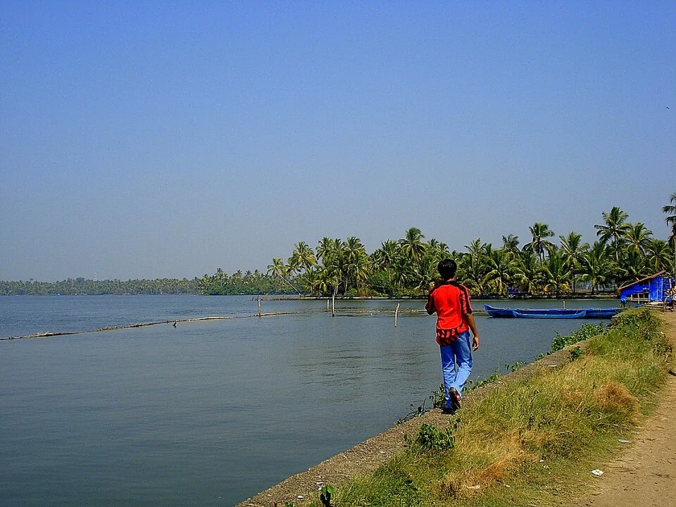
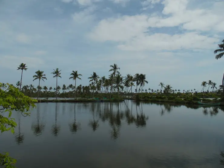
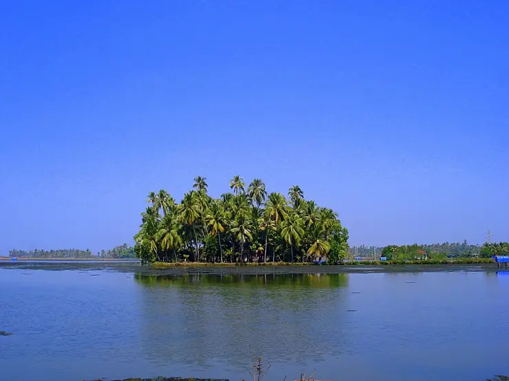
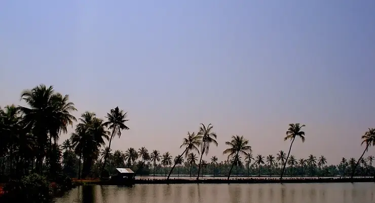
The tidal creeks and pokkali fields that wrap Kumbalangi island — canoe and country-boat water, worked for clam, prawn and crab rather than laid out for houseboats, and calm enough that the far bank mirrors in it at first light.
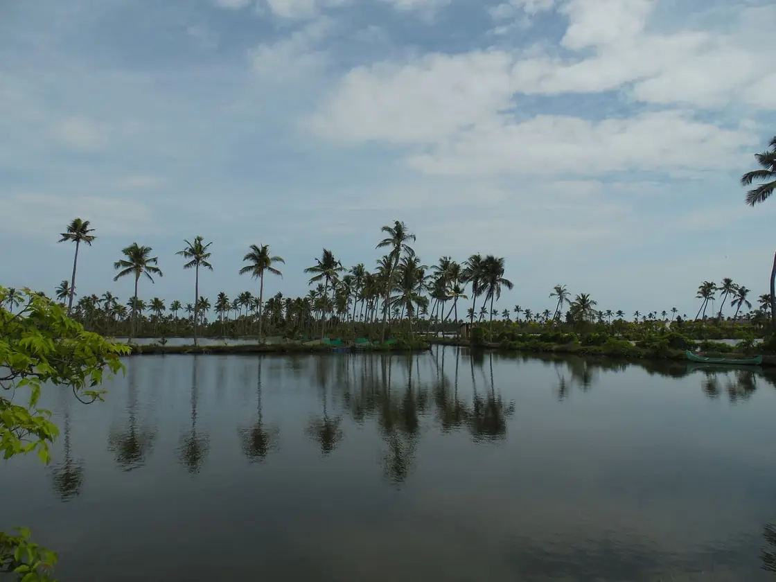
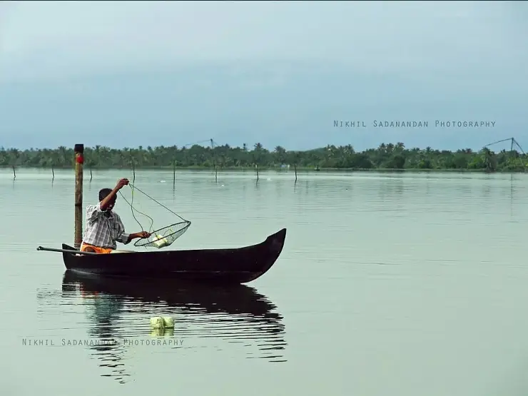
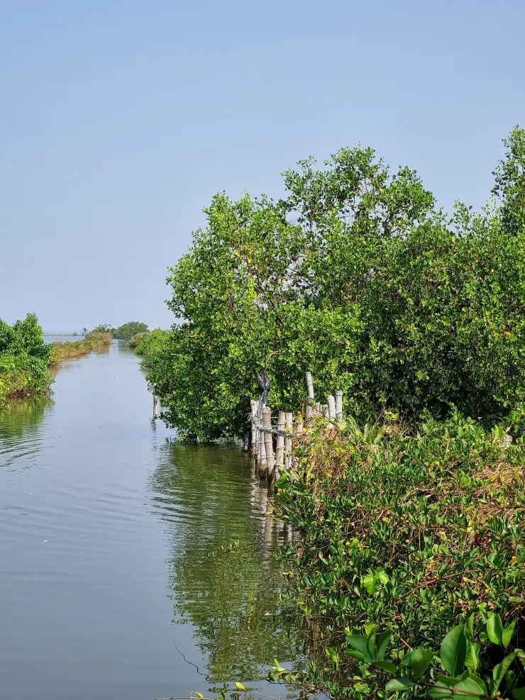
These are not the backwaters of the brochures. There is no houseboat convoy and no wide open lake — Kumbalangi is a net of tidal creeks a few metres across, running between mangrove roots, sluice gates and low fields that are rice for part of the year and prawn ponds for the rest. A country canoe fits; a houseboat does not. Go at first light, when the surface is still enough to hold the far bank upside down, and the loudest thing is a pole lifting clear.
The creeks here work on the tide, not the clock. Twice a day it pushes in from the Vembanad system and the Kochi harbour mouth and then draws back out, and everything on the island is organised around that: when the nets are worked, when the canoes go, when the sluice gates are opened, when the clam beds are walkable. A boatman who tells you the trip has to be at half past five in the morning is not being difficult; he is reading the only timetable that exists here.
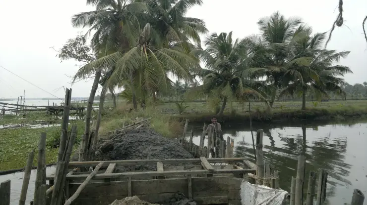
Along the banks are the pokkali fields, and they are the most interesting thing on the banks. Pokkali is a tall, salt-tolerant rice grown in the months when the creeks run fresher; then, as the monsoon ends and salt pushes back up the channels, the fields are flooded through their sluice gates and the same ground is given over to prawns and fish that come in with the tide and are trapped and filtered out at the gate. One piece of land, two harvests, no fertiliser worth speaking of. It is a system built entirely on knowing exactly when the salt arrives.
The mangroves are the other structural piece. They fringe most of the creeks and they are not decorative: the root tangles are a nursery for prawns, crabs, oysters and small fish, which is to say they are the reason there is anything to catch. Slide a canoe into one of the narrow feeder channels under the canopy and the temperature drops, the noise stops, and you can see why the birds are all in there — kingfishers and cormorants and darters, and waders out on the mudflats through the winter.
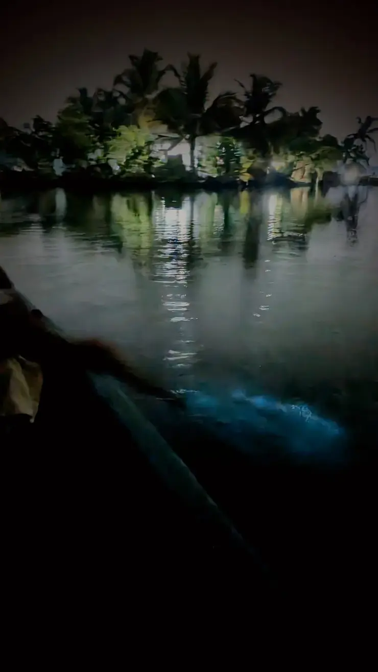
And then, for about three months a year, the creeks light up. Between roughly March and May, on dark nights, anything that disturbs the surface — a pole, a hand, a fish — leaves a trail of blue-white light behind it. Malayalam calls it kavaru. It is caused by a bloom of Noctiluca scintillans, a single-celled plankton whose name means, near enough, sparkling night light, and it is one of the most beautiful things on this coast.
It is also a warning. Researchers reading these waters have tied the blooms to eutrophication — nutrient overload from run-off and effluent, together with high salinity and low clarity — and have counted more than a hundred thousand phytoplankton cells per litre in Kumbalangi water. Heavy Noctiluca blooms are associated with shellfish mortality and with fish leaving the area entirely, which means poor catches for the people who live off these creeks. The village's own reporting describes waste dumping in the backwaters as a serious and unresolved problem. The glow is genuinely lovely and it is genuinely a symptom, and there is no version of this page where only one of those is true.
There is one night a year — several, if you are lucky and patient — when the creeks here catch fire. Put a hand in it and the surface breaks into cold blue light around your fingers. Drag a paddle and it leaves a glowing wake. Fish moving below the boat become visible as streaks of blue in the dark. The local word for it is kavaru, and it is the single most extraordinary thing that happens anywhere in Ernakulam.
What produces it is Noctiluca scintillans, a single-celled plankton commonly called sea sparkle, which emits light when it is physically disturbed. The bloom concentrates in these creeks and pokkali fields roughly between March and May, when the fields are flooded with brine for the prawn season and the salinity climbs sharply. To see it you need a dark, moonless night, no torch, and the patience to sit still for about fifteen minutes while your eyes adjust — most people give up at four. From a canoe, with the paddle working, it is genuinely unforgettable.
And now the part that the reels leave out, because it matters and because we would rather you knew. The glow is a symptom. Noctiluca blooms on excess nutrients, and the nutrients here come from agricultural and industrial runoff and from the drainage of a rapidly growing city — the same eutrophication that strips oxygen and kills fish. What visitors photograph as magic, marine scientists read as a warning light. Both readings are correct. Kumbalangi's most beautiful phenomenon is also its clearest evidence that the system is under strain, and the people whose livelihoods are in it are the ones who will find out first.
The rest of the folklore has accumulated fast, mostly since a film put kavaru in front of a national audience in 2019. You will hear that it is rare, that it happens only at Kumbalangi, and that it is somehow unique to these creeks. None of that holds: sea sparkle is a regular seasonal event along much of the Kerala coast, and Chellanam and the channels near Fort Kochi see it in the same months.
What is true is that Kumbalangi is where people now go to look for it, and that the narrow creeks and dark unlit banks make it easier to see here than from a lit shoreline. The romance is earned by the setting rather than by rarity.
The second thing worth correcting is what you are actually on. These creeks feel like a private little network belonging to one island, and they are the northern arm of Vembanad — India's longest lake, 96.5 kilometres of it, designated a Ramsar wetland of international importance on 19 August 2002. Nobody here calls it Vembanad. In this stretch it is simply the Kochi lake; the same lake is Punnamada at Alappuzha and Vembanad at Kottayam, and the fact that one lake carries three names is why visitors so often think the Kumbalangi creeks and the Alappuzha lake are unrelated. It is also a lake in retreat: its spread fell from about 290.85 square kilometres in 1917 to 227 by 1971 and 213.28 by 1990 — reclamation has taken it to roughly a third of what it once covered — and siltation has dropped average depths from around 8.5 metres in the 1930s to under three in places.
And the single most consequential thing about these creeks was built thirty kilometres away. The Thanneermukkom barrage — proposed at 1,402 metres, with its Vechoor half completed in 1965 and its Thanneermukkom half in 1975 — was built to stop salt pushing south into the Kuttanad paddy lands, and its gates are shut for much of the year. ⚠ The “1,252 metres, commissioned 1976” figure printed almost everywhere is not the Kerala Irrigation Department’s own account, and the 428-metre central stage was not opened to traffic until 31 July 2018. Kumbalangi sits north of that wall. So the salt that is excluded from the southern half of the lake still arrives here on every tide — which is exactly why the pokkali rotation, the prawn filtration and the whole brackish creek economy still function around this island when they have largely stopped functioning south of the barrage. The thing that makes Kumbalangi worth visiting is, in part, an engineering decision taken about somewhere else. The bill for that decision is paid on the far side: stagnation instead of flushing, water hyacinth spreading across the closed-off reaches, and fish and prawns that can no longer migrate upstream past the gates.
The creeks and the fields are older than any tourism here. Pokkali cultivation on Kerala's brackish coastal land is an ancient practice, and the alternation of rice and prawn is a response to a specific problem — ground that is too salty to farm conventionally for much of the year — rather than a designed piece of organic agriculture, which is how it is often marketed now.
Through the twentieth century the creek economy held: rice and prawn from the fields, clams from the beds, coir from soaked husk, lime burnt from shell. The shift came when aquaculture began to pay better than rice. Farms were increasingly leased out for commercial fish farming, pokkali acreage fell away, and with it went trees, field bunds and some of the ponds themselves.
The 2003 model tourism village project was meant, in part, to give that landscape an economic reason to survive by making it worth visiting. Two decades on the project itself is largely unbuilt — about 15 per cent complete by 2025 reporting — while the pressures here have grown: waste dumping, saltwater intrusion through drainage, and the nutrient loading that the seasonal blooms now advertise every March.
It is worth setting the island's creeks in the size of the thing they belong to. The Vembanad–Kol wetland was listed under the Ramsar Convention on 19 August 2002 and is the largest of Kerala's three Ramsar sites; the lake it centres on runs 96.5 kilometres and is the longest in India, and the wetland complex supports something over 20,000 waterfowl — the third largest such congregation in the country. That status has not stopped the contraction. Reclamation cut the lake's water spread from roughly 290.85 square kilometres in 1917 to 213.28 by 1990, and hydrology has been reworked wholesale since the Thanneermukkom barrage was commissioned in 1976. The birds you watch from a canoe here are the visible end of a system whose paperwork protection has run a long way behind its physical decline.
It is the quietest water within reach of Kochi. A canoe in a mangrove feeder creek at six in the morning is as still as Kerala gets.
You can watch the pokkali cycle explained on the spot at a working sluice gate, which turns an abstract bit of agricultural history into something you can see happening.
The birding is genuinely good and requires no effort — kingfishers, cormorants, darters, and winter waders on the mudflats, all from a boat you are already in.
It is the antidote to the Alappuzha houseboat. No engine, no upper deck, no convoy: a small boat, a pole and a boatman who lives on the bank.
In March to May there is the chance of the kavaru, and knowing what causes it makes it a far more interesting thing to have seen than a pretty light.
It is close enough to Fort Kochi to be a morning, and different enough to feel like another state.
Road km to Ernakulam; ghat roads and traffic vary — allow extra.
October to March is best for comfortable boat trips; monsoon is greener but weather can disrupt plans.
Live forecast loads in your browser.
Check the official alert before you travel. Kerala’s beaches, waterfalls and trekking routes close at short notice during heavy rain, and district alert levels change day to day. We do not publish an alert level of our own — read it from the state authority: Kerala State Disaster Management Authority, or the district control room on 1077.
Sun and moon are calculated for this location and shown in IST. Photography windows are the hour around sunrise and sunset; the sunset bearing is degrees clockwise from true north. Moon phase is accurate to about half a day.
Verified hotels, homestays, restaurants, experiences, sights, shops and rentals around Kumbalangi backwaters — commission-free, with direct contact. Filter by what you need.

Kumbalangi village seafood lunch experience for backwater and responsible-tourism visitors. Kumbalangi, eat, Village seafood meal.
Book with the place itself. India’s cyber-crime coordination centre warned in April 2025 that convincing copies of hotel and pilgrimage booking sites are being pushed through sponsored search and social ads, taking payment for rooms the property never hears about. Every listing here links to the business’s own contact details and its own Google or Bing profile — we take no commission and sit in nobody’s payment path. If a booking page reached you through an ad, check the address bar against the property’s own site before you pay. Fraud can be reported on cybercrime.gov.in or on 1930.
Find food, accommodation and activities across Kumbalangi. Browse the guides for places to eat, stay and explore along your route.
Walking routes start at Kumbalangi backwaters. Check the route and access before setting out, especially where a road, gate or waterway separates the stops.
4 more places around Kumbalangi. Open a guide to plan the visit and onward journey.
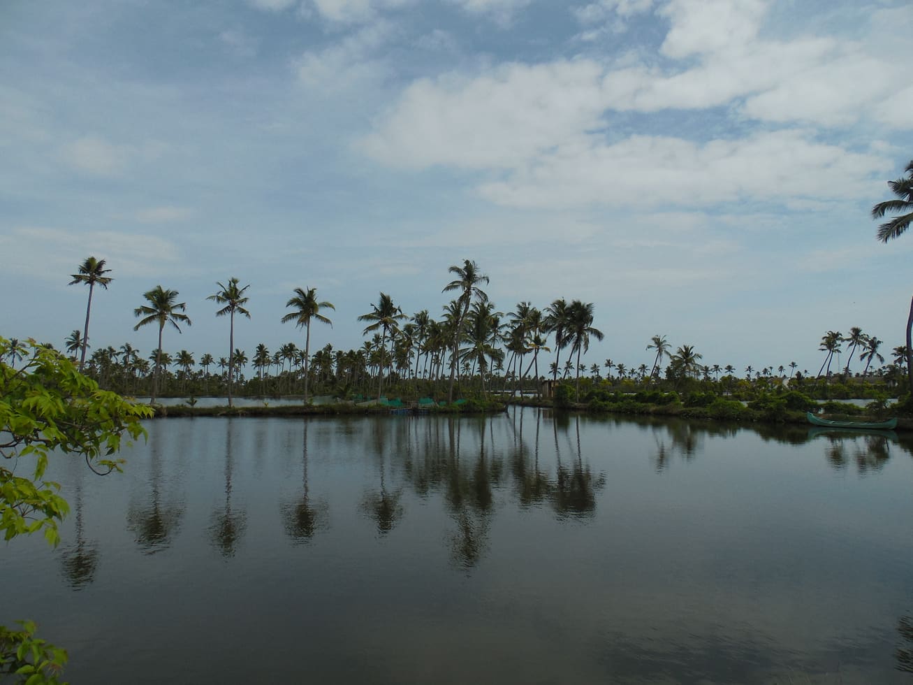
1.6 km · 19 min walk
Model tourism village known for backwater life, fishing and village experiences.
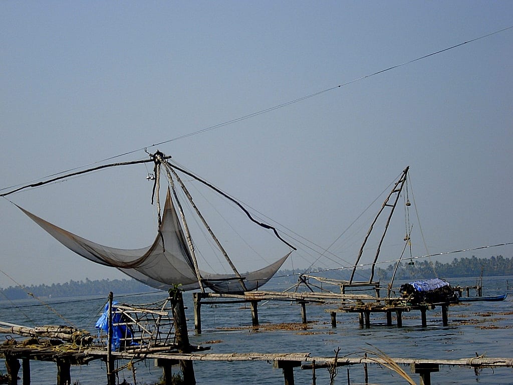
2.0 km · 24 min walk
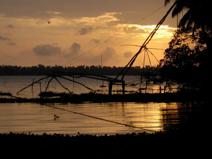
Kumbalangi’s own cantilevered cheena vala, worked on a village creek instead of a tourist seafront — fewer, quieter and still fished for a living, which is the whole difference from the Fort Kochi row.
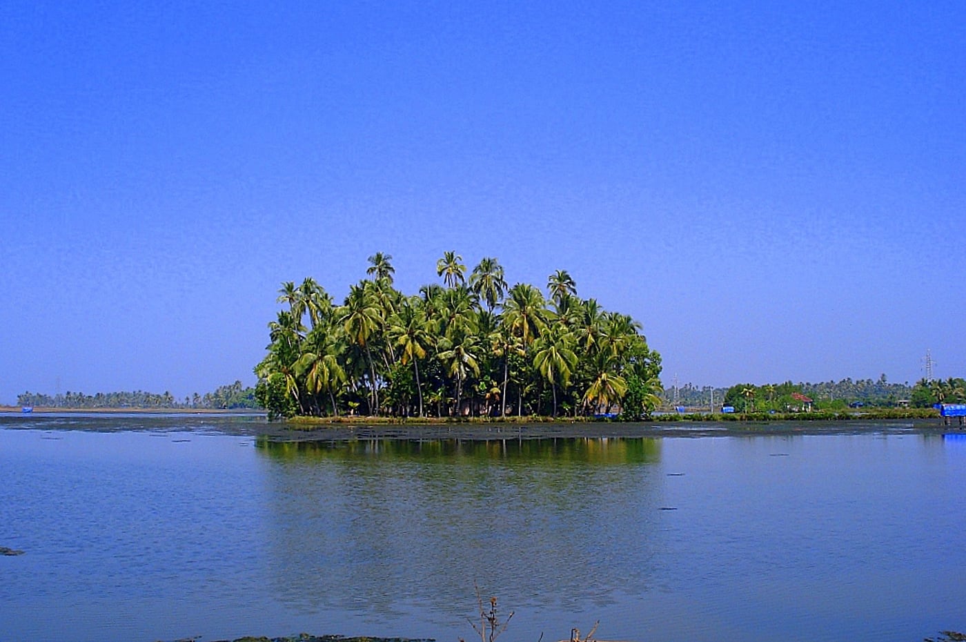
2.0 km · 24 min walk
Guided walking routes through Kumbalangi’s lanes and working yards — coir twisting, toddy tapping, clam-shell collecting, prawn-filtration ponds and crab farms — run by the village’s own hosts rather than by an outside operator.
2.2 km · 26 min walk
The North Kumbalangi homestay belt, where the draw is eating karimeen, clam and crab cooked in a family kitchen from that morning’s catch — the food is the reason to stay, not an amenity attached to the room.
Roampedia is commission-free — own or know a stay, eatery, guide or shop near Kumbalangi backwaters? List it and it appears here once verified.
Add a nearby businessEntry: Free to look at. A canoe or country boat with a boatman is charged by the hour and set by the operator or your homestay rather than by any authority, so agree it in advance. Do not expect the Alappuzha houseboat tariff to apply here; these are small boats and a different trade.
If you are travelling by bus or ferry, check the return service with the operator before setting out. Leave time to reach the stop or jetty after your visit.
Ask at the jetty or stand for the time of the last service back, not the next one. If you miss it, an auto or app cab is the fallback — agree the fare before you get in.
If you need step-free access, contact the site before travelling. Ask about a level entrance, steps along the route, the nearest drop-off point, seating and accessible toilets.
These services are listed within about 1.2 km of Kumbalangi backwaters. Walking distances follow mapped routes; access and opening hours can change. Other services may be closer but are not included here.
Emergency numbers are verified against official government and state tourism sources. 112 works anywhere in India.
Model tourism village known for backwater life, fishing and village experiences.
1.6 km · 19 min walkGuided walking routes through Kumbalangi’s lanes and working yards — coir twisting, toddy tapping, clam-shell collecting, prawn-filtration ponds and crab farms — run by the village’s own hosts rather than by an outside operator.
2.0 km · 24 min walkKumbalangi’s own cantilevered cheena vala, worked on a village creek instead of a tourist seafront — fewer, quieter and still fished for a living, which is the whole difference from the Fort Kochi row.
2.0 km · 24 min walkThe North Kumbalangi homestay belt, where the draw is eating karimeen, clam and crab cooked in a family kitchen from that morning’s catch — the food is the reason to stay, not an amenity attached to the room.
2.2 km · 26 min walk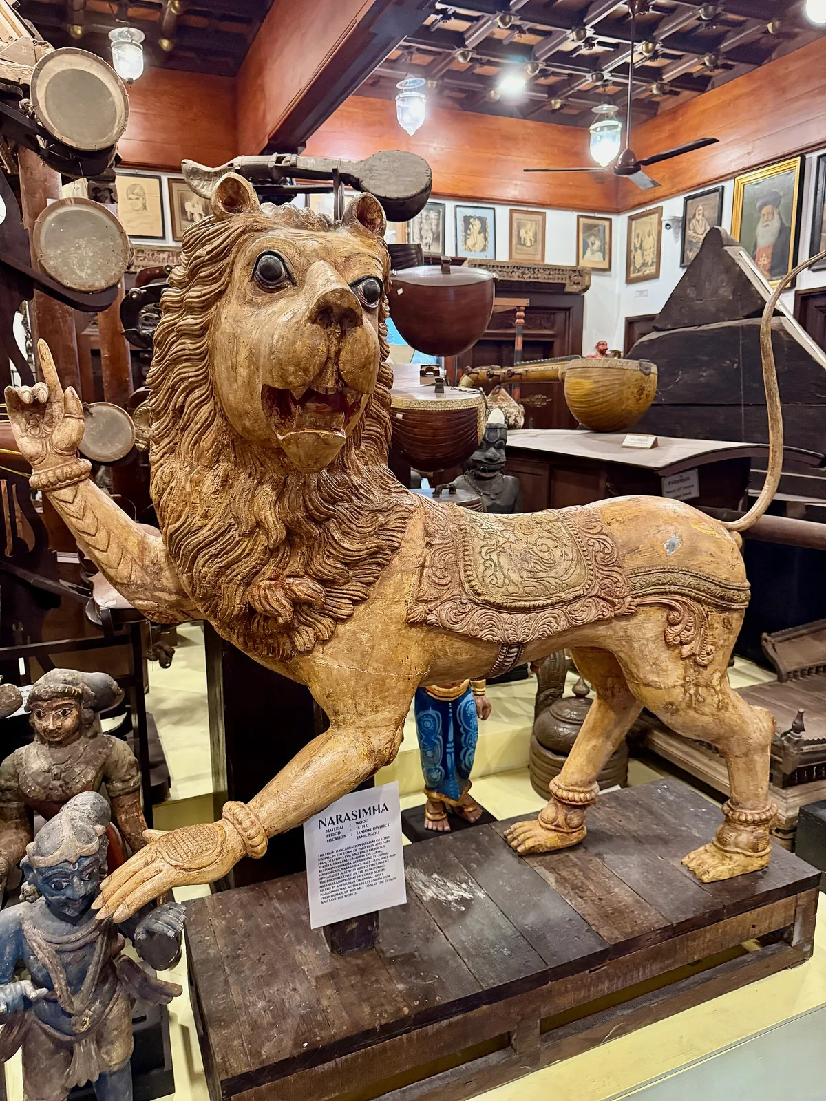
A privately built museum at Thevara with thousands of Kerala folk and ritual artefacts across Malabar, Kochi and Travancore styles.
6.7 km · ~17 min by auto · straight line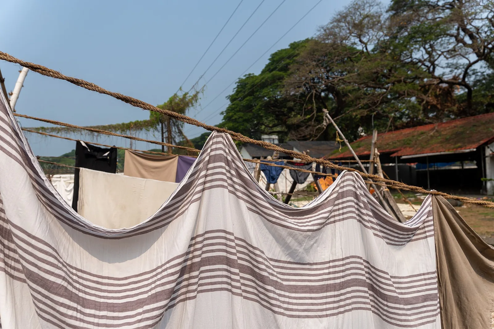
A working colonial-era community open-air laundry in Fort Kochi, still used by traditional washermen families.
9.2 km · ~15 min by cab · straight line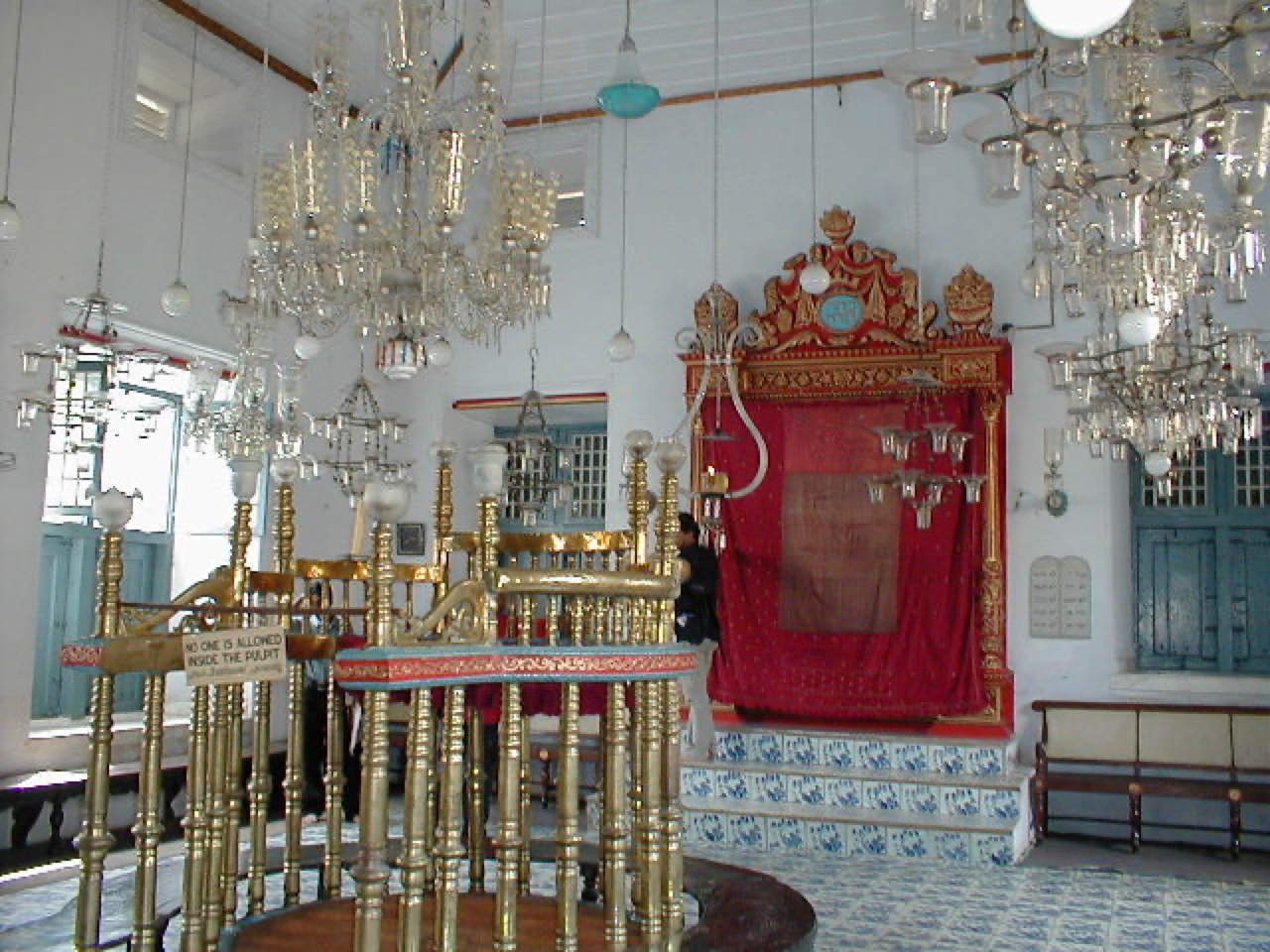
The oldest active synagogue in the Commonwealth (1568), in Jew Town, Mattancherry, with hand-painted Chinese floor tiles.
9.3 km · ~16 min by cab · straight line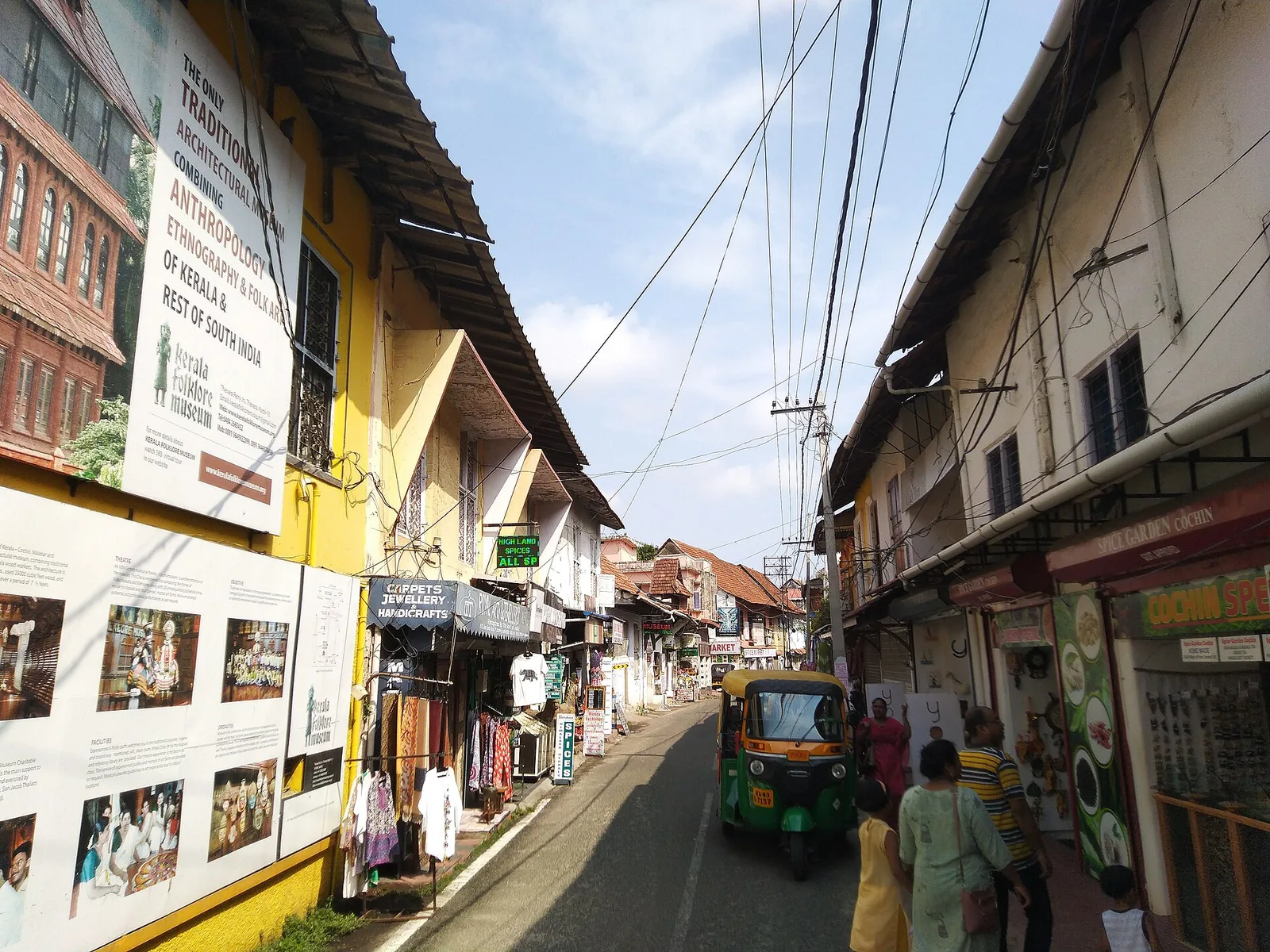
Spice warehouses, antiques, Mattancherry Palace and Paradesi Synagogue.
9.4 km · ~16 min by cab · straight line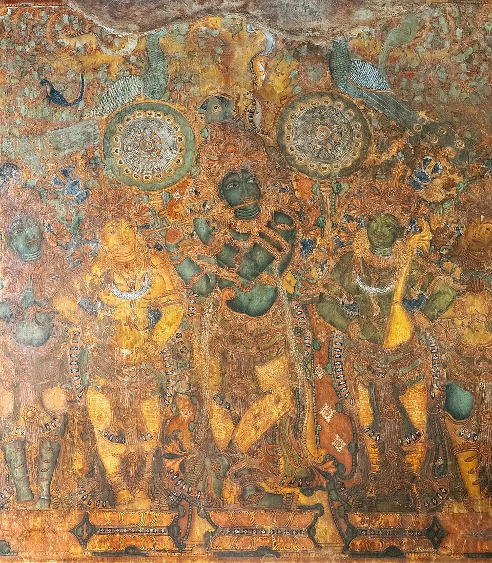
The Mattancherry Palace, known as the Dutch Palace, with celebrated Kerala mural paintings from the Ramayana and royal portraits.
9.4 km · ~16 min by cab · straight line
A historic Gowda Saraswat Brahmin temple in Cherlai, Mattancherry, central to Kochi’s Konkani community.
9.5 km · ~16 min by cab · straight line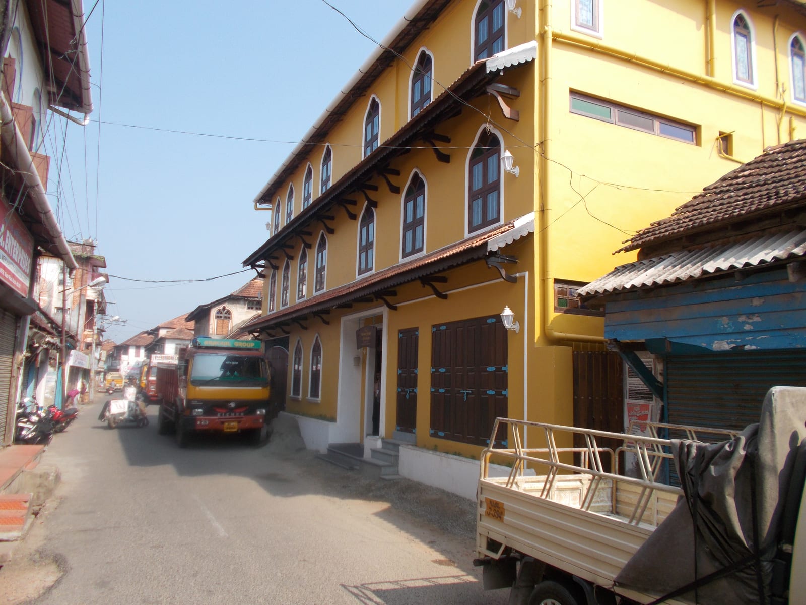
The working spice quarter along Mattancherry’s Bazaar Road — godowns where pepper, ginger, turmeric and cardamom are still graded, sacked and weighed, and where the smell reaches the street before the signage does.
9.7 km · ~16 min by cab · straight line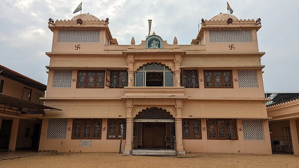
An ornate Jain temple in Mattancherry’s Gujarati quarter, raised in 1904 by Hirubai in memory of her husband Jivraj Dhanji and dedicated to Dharmanatha, the fifteenth Tirthankara — known for its white marble work and the daily midday feeding of the pigeons outside.
9.9 km · ~17 min by cab · straight lineWalking and driving times are real routed distances, except the few marked “straight line”, which are direct-line estimates and will read short. Fare figures are estimates from Kerala’s notified auto/taxi tariff and exclude waiting and night charges. Routing: © openrouteservice.org by HeiGIT | Map data © OpenStreetMap contributors
Nearby toilets, pharmacies, ATMs, seating and vets are community-mapped and may be incomplete or out of date. Map data © OpenStreetMap contributors | Walking times © openrouteservice.org by HeiGIT
No, and that is the point. Kumbalangi's water is a network of narrow tidal creeks, not the open lake system at Alappuzha and Kumarakom — the channels are too small for houseboats. What you take is a country canoe or a small country boat with a boatman, usually for two to three hours. If a houseboat is what you want, go to Alappuzha; if you want water you can hear yourself think on, come here.
First light, without much competition. The surface is at its stillest, the air is cool, the birds are active and the nets are being worked. Late afternoon from about four o'clock is the second-best window. The middle of the day is hot, bright and empty, and it is when most day visitors from Kochi arrive — which is why so many of them leave unimpressed.
The best chance is roughly March to May on a dark, ideally moonless night, when a suitable bloom is present and the water is disturbed. Conditions vary and many visitors see nothing, so treat bioluminescence as a possible bonus rather than the sole reason for the trip.
Do not swim in the creeks at any time — the tidal current reverses, the depth changes without warning and the beds are silt and shell. On the blooms specifically: heavy Noctiluca events are associated with fish and shellfish mortality and are reported to release compounds that can irritate skin, and fishers working through a bloom are the people most exposed. Look at it from the boat.
A traditional system on Kerala's brackish coastal land where the same field grows a tall salt-tolerant rice during the months when the water is fresher, and is then flooded and farmed for prawns and fish when the salt pushes back in. The switch is managed with sluice gates, and the prawns are filtered out at the gate. It needs almost no added fertiliser because the fish waste feeds the rice cycle. It is also in steep decline here, because fishing alone pays better.
Yes, and almost nobody says so. These creeks are the northern arm of Vembanad, India's longest lake at 96.5 km, which changes name along its length — Kochi lake here, Punnamada at Alappuzha, Vembanad at Kottayam. The reason the two ends feel like different places is the Thanneermukkom barrage, built in 1976 to keep salt out of the Kuttanad paddy lands. Kumbalangi is north of it and still fully tidal and brackish, which is why the pokkali and prawn cycle works here.
You can come, but do not count on the boat. Between June and September the creeks run high and fast, squalls arrive quickly, and boatmen cancel small-boat trips — sensibly. The landscape is at its greenest and the pokkali fields at their most photogenic, so it is a fine time to be here on foot and a poor time to plan a canoe as the centrepiece.
October to March is best for comfortable boat trips; monsoon is greener but weather can disrupt plans.
Entry: Free to look at. A canoe or country boat with a boatman is charged by the hour and set by the operator or your homestay rather than by any authority, so agree it in advance. Do not expect the Alappuzha houseboat tariff to apply here; these are small boats and a different trade. Timings: Tidal rather than timetabled. The water is glass-flat and mirror-still around first light, chops up through the middle of the day, and settles again from about four o'clock. Boatmen work around the tide, so the time you are offered is the time the water is right.
Base yourself in Kumbalangi or a nearby town in Ernakulam, then confirm the last-mile route locally before leaving. Plan boat timings first, then arrange road transfer around the departure point. If the visit depends on forest, temple, boat, ferry, weather or seasonal access, check the official/local rule on the day before travel.
2 hours to a full day; overnight if using a houseboat area.
Nearby you can pair Kumbalangi (1.6 km), Village walks (2.0 km), Chinese nets (2.0 km), Seafood homestays (2.2 km).
Use operators with life jackets and clear weather judgement. Avoid overloaded boats.
Written about Kumbalangi backwaters itself — its history, its legends and the arguments about them.
These guides explore Kumbalangi and the surrounding area. Choose a visit that fits your interests, allowing separately for travel between stops.
Route-level itineraries and practical guides for the rest of Kerala.
Photographs: Arun.pokkalath (CC BY-SA 4.0), Aruna at ml.wikipedia (CC BY-SA 3.0), Aruna at Malayalam Wikipedia (CC BY-SA 3.0), Solowomanwalks (CC BY-SA 3.0), Nikhil Sadanandan (CC BY-SA 4.0). Wikimedia Commons.


