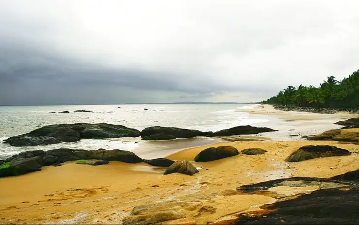
Kappad Beach

Kappad Beach, also called Kappakadavu, is the historic Kozhikode coast associated with Vasco da Gama's 1498 arrival and marked by a government monument. It is also a quieter beach village north of the city, with a different feel from crowded Kozhikode Beach.

Kappad Beach, Kappad
Practical guide

Plan Kappad Beach

Who's going?Tailor Kappad Beach to your trip
Typebeach
AreaKappad
DistrictKozhikode
Best timeNovember to February is most comfortable
Time needed1 to 2 hours for a focused stop
EntryVaries — see below
Places to visit4Listed businesses8

People come for the landing marker, the coast and a slow outing — but the practical questions still decide the day: how you get there, where you eat, where the washrooms are, whether it is safe to swim, and exactly where your stay is.

The story

Kappad Beach — known locally as Kappakadavu — is a quiet, history-soaked stretch of the Arabian Sea coast in Chemancheri panchayat, Koyilandy taluk, about 16 km north of Kozhikode (Calicut). It is celebrated as the shore where Vasco da Gama's fleet made its Indian landfall in 1498 and opened the sea route between Europe and India — though what happened here, precisely, is more interesting than the plaque suggests, and the ships anchored some eleven kilometres offshore. Rocky outcrops, a broad ribbon of sand and a small tidal channel make it a calmer, less crowded alternative to Kozhikode's busy city beach, and since 2020 it has been one of India's first Blue Flag beaches.

The story of Kappad Beach

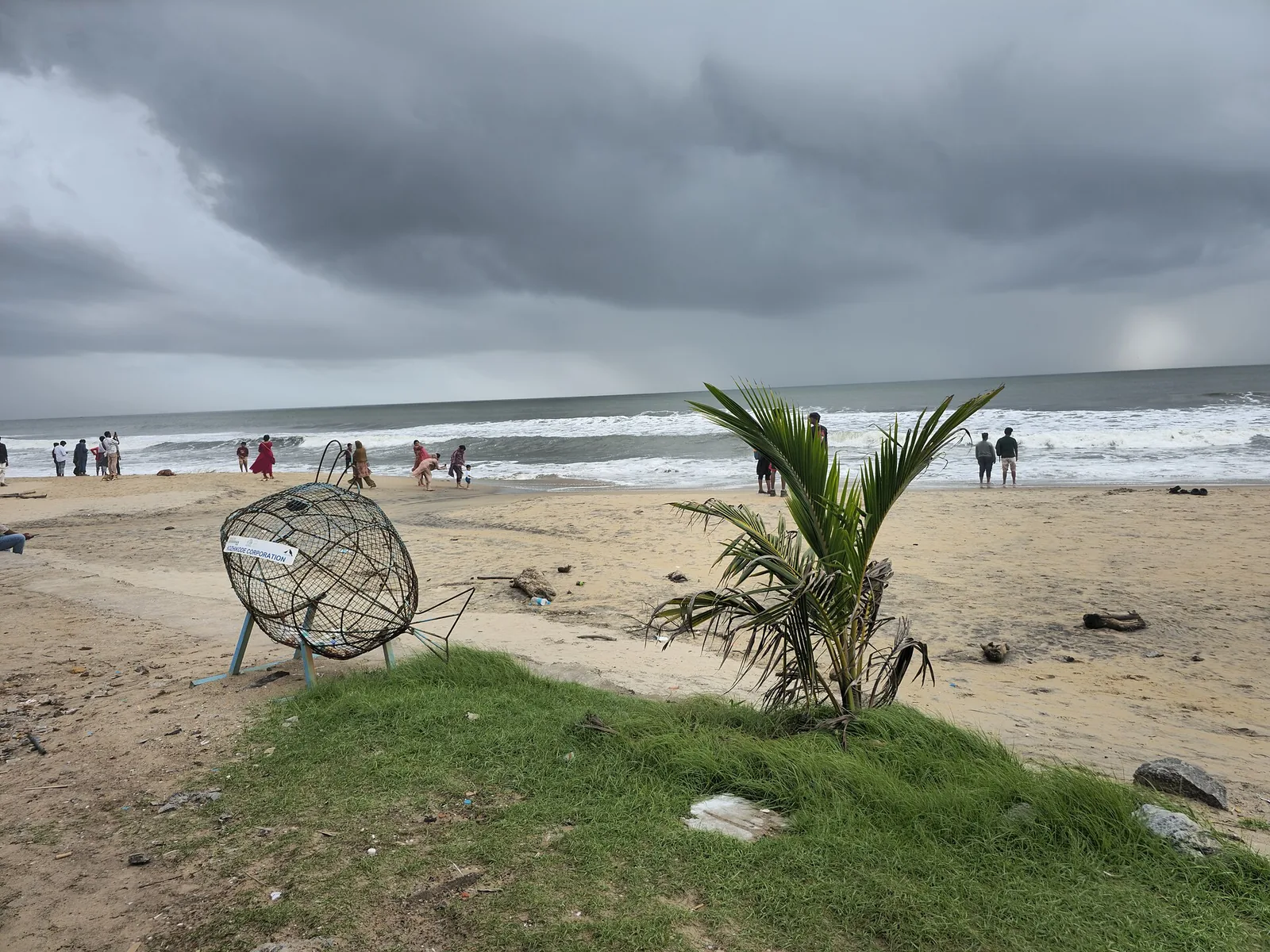
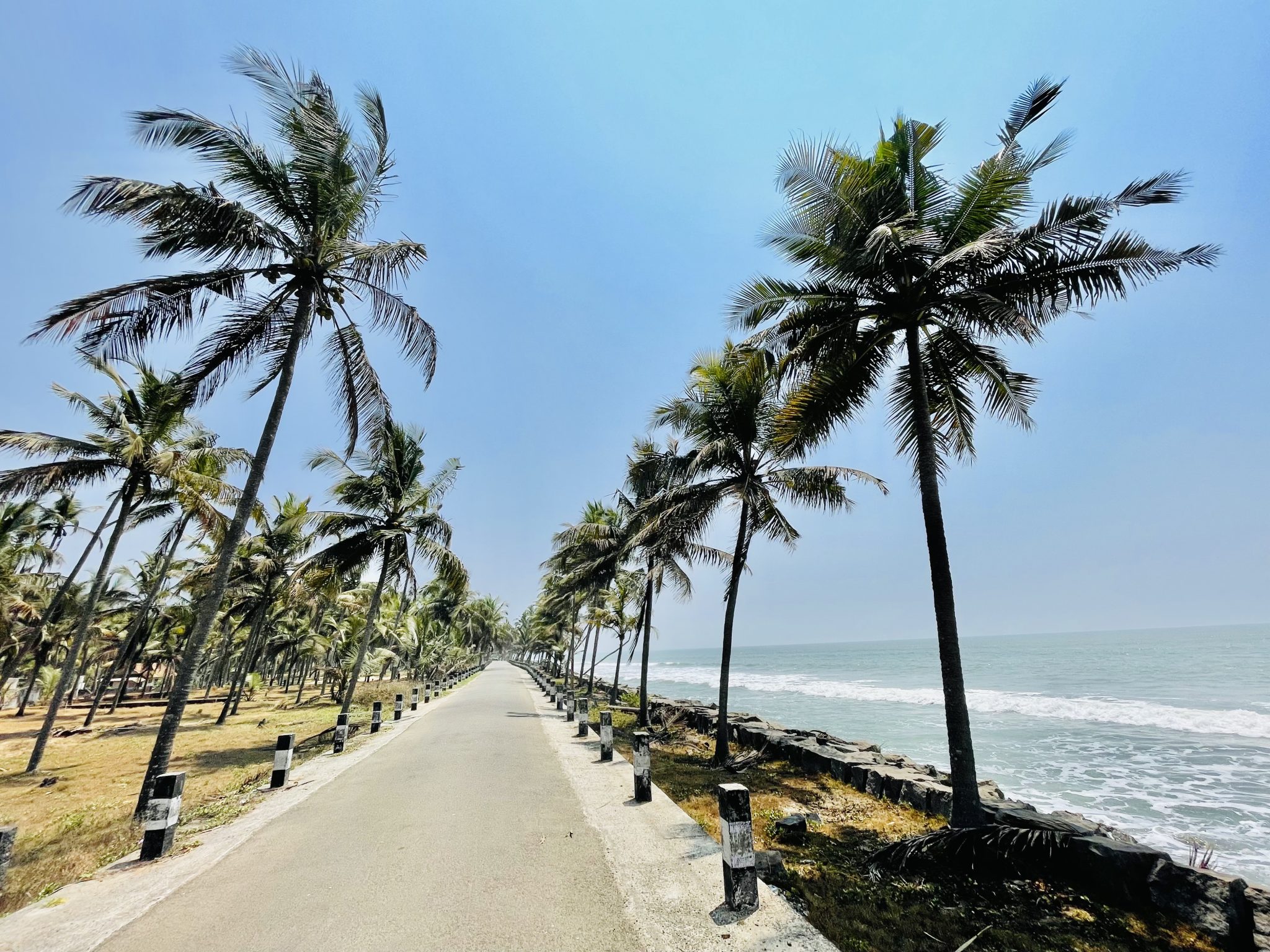
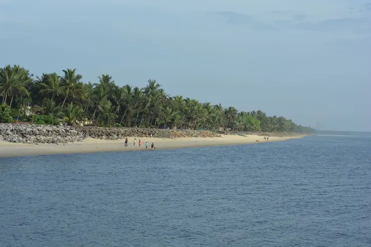
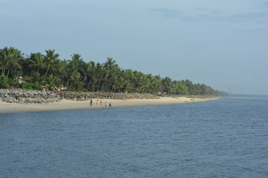
The first thing most visitors notice about Kappad is how gentle it feels. Where many Kerala beaches roar and heave, this one tends to unfold slowly — a wide apron of sand, clusters of dark weathered rock reaching into the shallows, and coconut palms leaning over the shoreline. A simple concrete promenade runs along part of the front, with benches, a small park and a couple of shacks selling tea, fresh coconut water and fried snacks.

At its southern end, a few hundred metres beyond the memorial, a small tidal channel cuts through the sand to the sea. This is the Kaippuzha, fed by the Chennicheri thodu, and about 700 metres upstream sits an Irrigation Department structure with an unusually descriptive official name — the Vertical Cross Bar cum Salt Water Extruder at Kaippuzha in Kappad — whose job is to stop tidal salt working its way inland. It is worth being clear about this, because the boat trips sold as Kappad backwaters do not run here: they use the Korapuzha and Arakkalpalam system, a separate set of waterways about four kilometres inland to the south-east, with the Korapuzha itself reaching the sea at Elathur some seven kilometres south. The channel at the beach is a modest thing, but the fringing greenery around it draws egrets and kingfishers and it makes a quiet counterpoint to the open sea.

The rocks are Kappad’s signature. Rather than a single unbroken sweep of sand, the shore is punctuated by low black boulders that break the waves and create shallow pools at low tide. They make the beach photogenic and give it character, but they also mean swimming is best done with care — the seabed is uneven and currents can be deceptive, so most visitors wade and paddle rather than swim far out.

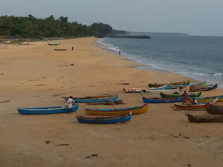
On the rocky headland at the northern end of the strand stands the Orupottumkavu Bhagavathi Temple, a kavu — a sacred-grove shrine — to the Devi, with an open viewpoint beside it looking back down the coast towards Kozhikode. Tourism copy widely dates it to over eight hundred years, and that figure is worth treating as tradition rather than record: no inscription, no gazetteer citation and no archaeological listing supports it, and the only notified protected monument at Kappad is the 1939 pillar at the other end of the beach. Small shrines, fishing hamlets and a working coastal community surround the sand, so a visit here is as much about watching everyday Malabar life — nets being mended, catch being sorted, families out at dusk — as it is about the sea itself.

Since 2020 the beach has also been a piece of national infrastructure, which is not a sentence you can write about many Kerala shores. Kappad was named on 11 October 2020 as one of India's first eight Blue Flag beaches, and on Sunday 29 December 2020 it became the first of the eight to physically raise the flag. The certification comes from the Foundation for Environmental Education in Denmark and is assessed against thirty-three criteria in four groups — environmental education and information, bathing water quality, environmental management, and conservation and safety services — with an international jury drawn from UNEP, UNWTO, FEE and IUCN. It is re-assessed every year, so the fact that Kerala Tourism was still listing Kappad as certified in February 2025 is itself the evidence that the standard is being maintained. For four years it was Kerala's only Blue Flag beach, until Chal in Kannur joined it.

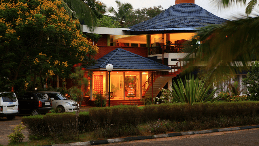
Because Kappad is off the main tourist conveyor belt, it rarely feels crowded on weekdays. Sunset is the golden hour, when the light turns the rocks copper and the whole bay glows; weekends and holidays bring more local families and day-trippers from Kozhikode. There are a few resorts and homestays nearby, but the beach retains an unhurried, small-town Malabar feel rather than a resort-strip atmosphere.

For travellers, Kappad works best as a half-day trip combined with the historical draw: read the commemorative monument, walk the rocks, watch the backwater, and settle in for the sunset. It is a place that rewards a slow pace — history in the sand, birds in the mangroves, and the long horizon of the Arabian Sea that once carried the ships that changed the region’s fortunes.

Legend & myth

The document everyone cites to prove that Vasco da Gama landed at Kappad is the same document that explains why he could not have. It is in the journal, in one sentence, and almost nobody quotes it.

Start with where the ships actually were. The Roteiro — the anonymous journal of the first voyage, attributed to Álvaro Velho, a subordinate aboard the São Rafael, and translated for the Hakluyt Society by E. G. Ravenstein in 1898 — is not vague about 20 May 1498. They arrived at the entrance of a bay and saw in it a large city, and they anchored two leagues from the shore. Two leagues is roughly eleven kilometres of open water. The chronicler Castanheda supplies the reason they stopped there at all: the pilot mistook Capua — Kappad — for Calecut. The Melinde pilot was working a coast he knew by its headlands and had been blinded by a thunderstorm the day before. Kappad is where the fleet ended up because of a navigational error, not because anyone chose it.

The Portuguese sources do name this place. They write it Capua, Capucad, Capocate, Capogatto, and Logan's identification of those with Kappad has stood ever since. But they name it as an anchorage, which is what the local name says too: Kappakadavu contains kadavu, a landing or crossing place on the water.

Now the sentence. A pilot came out with orders to take the ships to a place called Pandarani, below the place where they had anchored at first, because the anchorage at the place to which they were to go was good, whilst at the place they were then it was bad, with a stony bottom — and the journal adds, flatly, that this was quite true. That is the whole argument in a single line written on the spot by a man who was there. Kappad's defining feature, the thing every photograph of it shows, is rock: a moss-blackened headland shouldering into the sea and reefs strewn through the shallows. The Portuguese diarist wrote down that the bottom was stone and the holding was bad.

What followed is a matter of dates. On 21 May a degredado — a convict-exile, not an officer — was sent ashore in a local boat; Correa names him João Nunez, and he appears to have been the first Portuguese to set foot on Indian soil. On 22 May Nicolau Coelho and one other went overland to find the Zamorin, who was away at Ponnani. Three days later the Zamorin received them, invited trade, and instructed the ships to move to Panthalayini Kollam, which was safer than where they lay. The fleet shifted on 27 May. And on the following morning, which was Monday, 28 May, the captain-major set out to speak to the king — going ashore with thirteen men, five kilometres up the coast. Eight days separate the date on the signboard from the day da Gama landed, and about five kilometres separate the monument from the place he landed at.

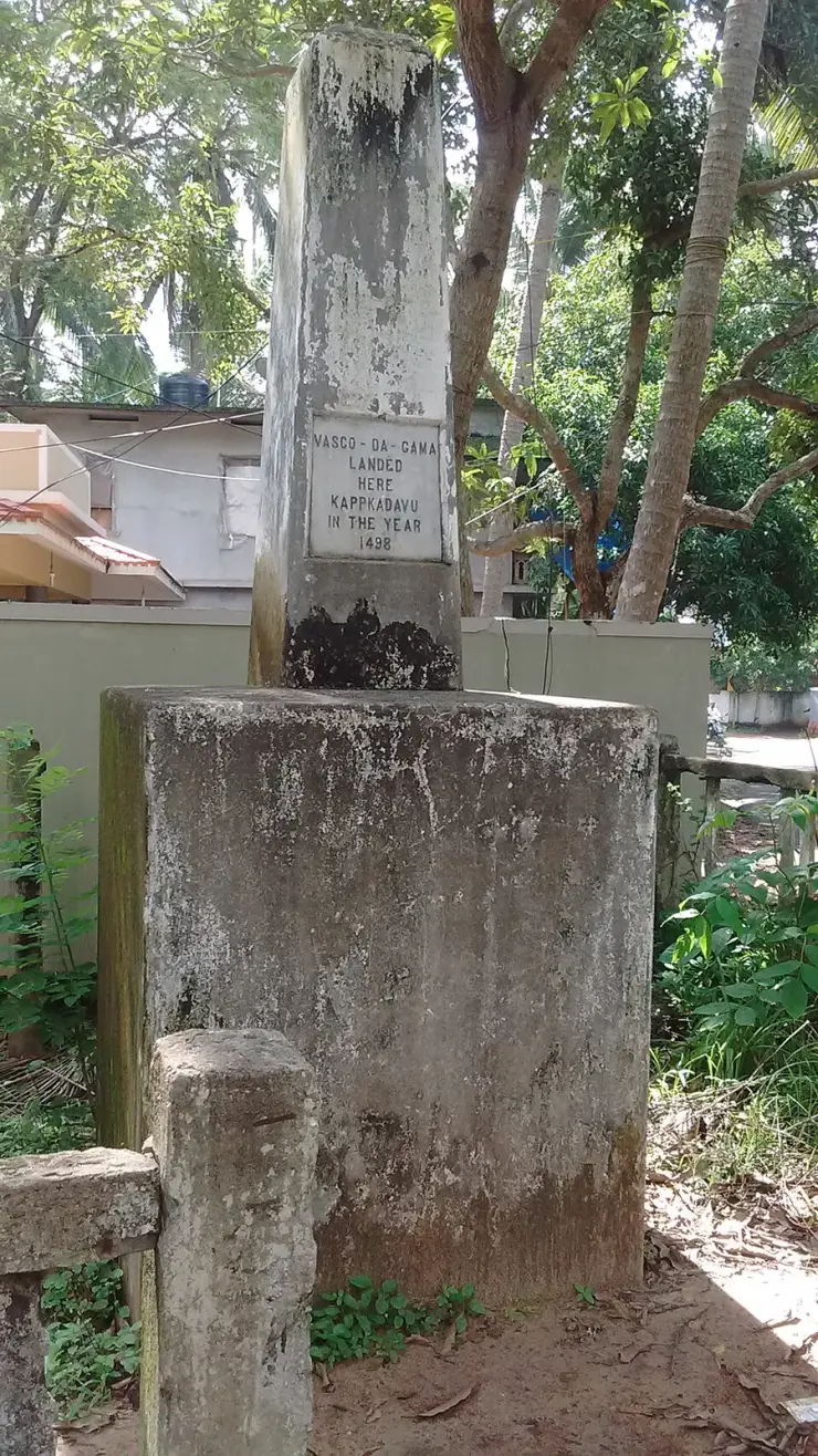
Which brings us to the monument, and it is not what visitors assume. It is not Portuguese and it is not old. It is a plain stone pillar five feet high, one square foot across at the top and two at the base, and the Madras Government put it up in 1939 — 441 years after the event — replacing an earlier pillar erected by the East India Company which the sea had washed away. The Kerala Department of Archaeology notified it as a protected monument in 1975. No Portuguese padrão has ever been excavated at Kappad; the fleet carried dressed stone pillars, one or two of marble, most bearing a cross and a few the royal arms, and da Gama planted them elsewhere.

The inscription itself is the most honest thing on the beach. Fourteen words: Vasco da Gama landed here, Kappakadavu, in the year 1498. No day. No month. No authority, no source and no date of erection. Whoever cut it committed to a year and stopped — which means every website that presents the plaque as fixing 20 May, or 27 May, is putting a date into the stone's mouth. The widely repeated claim that the plaque reads 27 May 1498 is simply false.

One small thing, which you can check for yourself if you go. Both the Department of Archaeology's own page and the published paper transcribe the place name on the tablet as Kappakadavu. Two independent free-licensed photographs of the plaque, taken three years apart in 2013 and 2016, both plainly read KAPPKADAVU — no second A. It is a trivial difference and it may simply be that the transcribers tidied a cramped line. But it is a fair emblem of the whole monument: even the spelling on the stone has been quietly corrected by the people describing it.

There is one last flourish, and it is entirely checkable. The Department of Archaeology publishes the position of its own protected monument as 11° 38' 00.8" N, 75° 72' 21.6" E. A longitude cannot have 72 minutes, and 11° 38' N would put the pillar some 28 kilometres up the coast. Read the digits as plain decimals instead — 11.38008, 75.72216 — and they land within about twelve metres of the memorial. The state has published its own monument's location in a format that cannot be plotted.

None of which makes Kappad a fraud. A monument that is genuinely eighty-seven years old, replacing one the sea took, marking an event that happened eleven kilometres offshore, is a more interesting object than the one most visitors think they are looking at.

Read the full history of Kappad Beach 1095 more words

History

Kappad’s fame rests on a single, world-changing moment. On 20 May 1498 the Portuguese navigator Vasco da Gama reached the coast near Calicut (Kozhikode) after sailing around the Cape of Good Hope, becoming the first European to reach India by sea, and the fleet made its landfall off this shore. A stone monument at the southern end of the beach carries the inscription, “Vasco da Gama landed here, Kappakadavu, in the year 1498.” The date on every signboard and the day the captain-major's boot touched Kerala are eight days apart, and the monument stands about five kilometres from the place it touched — a discrepancy the fleet's own journal explains, and which is set out in full below.

The voyage that ended here had already been ten months and eleven days at sea, and the waypoints are documented. São Tiago in the Cape Verdes on 27 July 1497; St Helena Bay on 7 November; the Cape of Good Hope sighted on 18 November and rounded at the third attempt on 22 November; the Bay of São Brás, where the damaged supply ship — the fourth of the four — was broken up and burned and her people redistributed; the Limpopo estuary; the Quelimane on 24 January 1498; Mozambique on 2 March; Mombasa on 7 April, where the two Mozambique pilots escaped by jumping overboard; and Melinde, Malindi, from 15 to 23 April. The fleet left Melinde for Kozhikode on 24 April 1498 with a pilot supplied by its king. Ravenstein reckoned that leg at about 2,340 miles, or 682 leagues. Twenty-three days followed with no land in sight, until on 18 May they raised Ezhimala — Mount Delly, a 260-metre headland near Payyannur, about 38 km north of Kannur — from some thirty miles offshore.

The voyage mattered because it broke open the spice trade. For centuries, pepper, cardamom, cinnamon and other spices from the Malabar coast had reached Europe only through long chains of Arab and Venetian middlemen. By finding a direct sea route, the Portuguese could bypass those intermediaries — and Calicut, ruled by the powerful Hindu monarch known as the Zamorin (Samoothiri), was already one of the greatest spice-trading ports in the Indian Ocean, a cosmopolitan hub where Arab, Chinese and Indian merchants had long done business.

Da Gama was received by the Zamorin, but the meeting was uneasy: the modest gifts the Portuguese offered were unimpressive by the standards of a wealthy court, and established Arab traders had little reason to welcome a rival. Even so, the contact set in motion a long and often violent chapter of European involvement on the Malabar coast — repeated Portuguese voyages, fortified trading posts, and eventually a scramble among European powers that reshaped the politics and economy of the whole region.

It is worth noting honestly that historians debate the exact landing spot, and that the debate is no longer especially finely balanced. The Kerala historian M. G. S. Narayanan (1932–2025) argued that da Gama came ashore not at Kappad but at Panthalayini Kollam near Koyilandy, which had a working port whereas Kappad did not, and complained that nobody had tried to clear up the misconception — the government having gone so far as to install a memorial stone on the beach. He is not alone. P. T. Parthasarathi, working from the Portuguese chronicles in a 2017 paper for the journal Heritage, reaches the same conclusion: it was on 28 May that da Gama actually set foot on land, at Panthalayini Kollam, about five kilometres from Kappad and not at Kappad, where the ships had cast anchor. William Logan, in the Malabar Manual, had already identified the chroniclers' Capogatto and Capocate with Kappad, about ten or eleven miles north of Calicut, and noted that the fleet was later moved to Pandarane.

The coast the Portuguese were trying to read is a coast of mudbanks and headlands, and that is the key to the whole episode. Arab pilots navigated by exactly those features: seasonal mudbanks damp the swell and create sheltered anchorages off otherwise open shores, while headlands supply the fix. Kappad has the headland and it has the rock, but it does not have the mudbank — which is the physical reason its holding ground was poor and the reason Panthalayini Kollam, five kilometres north, was the working port. It also helps to know that the Zamorin was not at Calicut when the Portuguese arrived. He was at Ponnani. That is why nothing happened for the better part of a week.

In more recent times the beach was developed as a heritage tourism site, and the usually-told version credits the smaller of the two projects. A ₹1.5 crore beautification launched in 2007 added a corniche, a park, restrooms and a restaurant. The far larger investment came in 2019–20 for the Blue Flag build: ₹6 crore from the Union government and ₹1 crore from Kerala, ₹7 crore in all, which paid for walking paths and a jogging track, clean toilets and changing rooms, showers, seating and fully disability-accessible restrooms. At handover the beach was run by a forty-strong team employed by the infrastructure contractor, with revenue from ticketing, jogging-track fees, a cafeteria and parking. The run-up included a September 2020 eco-labelling campaign under the slogan I am saving my beach, with the Koyilandy MLA K. Dasan hoisting a Saving My Beach flag on the eve of International Coastal Cleanup Day. Underneath all of it, four groynes spaced roughly 180 to 200 metres apart along the southern half of the strand are the reason there is still sand to walk on.

Why visit

Stand where the sea route to India began — few beaches anywhere carry a historical weight to match the Vasco da Gama landing, marked here by a simple commemorative monument.

Enjoy a calmer, less commercialised beach than the city front at Kozhikode — Kappad stays uncrowded on most weekdays and keeps an unhurried Malabar character.

Photograph the distinctive rocky shoreline, where black boulders, tide pools and leaning palms make for far more interesting compositions than a flat sand strip.

Swim inside a marked, lifeguarded zone on one of India's first Blue Flag beaches — certified in October 2020, first of the eight to raise the flag, and re-assessed every year since.

Catch one of the coast’s finest sunsets: the beach faces west into open Arabian Sea with nothing between it and the horizon, and low light sets the rocks glowing.

Combine history, the Orupottumkavu Bhagavathi shrine on the northern headland, fresh Malabar seafood and everyday fishing-village life in a single easy half-day trip from Kozhikode.
What to expect

Highlights

  • Historic Malabar beach associated with the 1498 arrival of Vasco da Gama.
  • Quieter coast north of Kozhikode city, often paired with Koyilandy, Korapuzha and Elathur-side routes.
  • What there is locally: beach stays, restaurants, taxis, family stops and guides.
Getting there

How to visit

  • Visit from Kozhikode city or base near Kappad/Koyilandy for a quieter coastal stay.
  • Use the monument and beach as a focused stop, then pair with food or northern-coast drives.
  • Confirm current beach facilities and transport return before late-evening visits.

Distance by road

  • Coimbatore180 km
  • Kochi182 km
  • Mysuru209 km
  • Mangaluru233 km
  • Bengaluru349 km

Road km to Kozhikode; ghat roads and traffic vary — allow extra.

Timing

Best time

November to February is most comfortable. Monsoon sea conditions require caution and flexible plans.

Weather in Kappad BeachSeasonal guide

Live forecast loads in your browser.

Today at Kappad Beach
Sunrise6:16 am
Sunset6:26 pm
Golden hour best light5:26 pm–6:26 pm
Blue hour after sunset6:26 pm–6:51 pm
Sun sets toward compass bearingW · 272°
Moon tonight🌓 First quarter · 52%
South-west monsoon. June to September is monsoon season: the sea gets rough, swimming is often unsafe and boat services can be suspended. Follow lifeguard and local warnings, and expect changeable conditions.

Check the official alert before you travel. Kerala’s beaches, waterfalls and trekking routes close at short notice during heavy rain, and district alert levels change day to day. We do not publish an alert level of our own — read it from the state authority: Kerala State Disaster Management Authority, or the district control room on 1077.

Sun and moon are calculated for this location and shown in IST. Photography windows are the hour around sunrise and sunset; the sunset bearing is degrees clockwise from true north. Moon phase is accurate to about half a day.

Visitor notes

  • The history marker is important, but the visitor experience is still a public beach.
  • Kappad, Koyilandy, Elathur and Kozhikode city are spread along the same coast. Check which one an address is really in.
  • Food and facilities are more limited than central Kozhikode.
Safety

Good to know

  • Follow local sea warnings and avoid rough-surf swimming.
  • Avoid isolated stretches after dark.
  • Use known taxis/autos if returning to Kozhikode city late.
Stay · eat · do · rent · see · shop

Stays, food & things to do near Kappad Beach

Verified hotels, homestays, restaurants, experiences, sights, shops and rentals around Kappad Beach — commission-free, with direct contact. Filter by what you need.

2 things to do near Kappad Beach

Renai Kappad Travel Desk — Beach resort travel desk in Kappad
Top pick Verified
Beach resort travel desk · Kappad
Renai Kappad Travel Desk

Beach resort travel desk in Kappad. Chemanchery P.O., Thoovappara, Kappad, Calicut 673304 · Renai, Beach resort travel desk, kappad.

Directions Commission-freeView details
Kappad Beach Kerala Tourism — Beach in Kappad
Verified
Beach · Kappad
Kappad Beach Kerala Tourism

Kappad Beach is the historic Kozhikode coast associated with Vasco da Gama, Olive Ridley turtle nesting and a quieter beach village north of the city. Public beach; check current facilities · Kappad Beach, Kappakadavu, Historic beach.

Directions Commission-freeView details

Book with the place itself. India’s cyber-crime coordination centre warned in April 2025 that convincing copies of hotel and pilgrimage booking sites are being pushed through sponsored search and social ads, taking payment for rooms the property never hears about. Every listing here links to the business’s own contact details and its own Google or Bing profile — we take no commission and sit in nobody’s payment path. If a booking page reached you through an ad, check the address bar against the property’s own site before you pay. Fraud can be reported on cybercrime.gov.in or on 1930.

Ranked

More ways to explore Kappad

Find food, accommodation and activities across Kappad. Browse the guides for places to eat, stay and explore along your route.

Across the whole of Kappad

Ranked guides

Top experiences around Kappad

One more place around Kappad worth a day of its own.

heritageKoyilandy

6.2 km · ~15 min by auto

The medieval port of Panthalayani Kollam — Ibn Battuta’s Fandarayna, where Chinese junks wintered, and the anchorage where da Gama’s fleet lay 88 days in 1498. Nothing of the port survives above ground; the working fishing harbour is what you come for.

Roampedia is commission-free — own or know a stay, eatery, guide or shop near Kappad Beach? List it and it appears here once verified.

Add a nearby business
Before you go

Kappad Beach — at a glance

TimingsOpen daily, best enjoyed in daylight; late afternoon to sunset is ideal.
Best timeOctober to February for cool, dry weather and calmer seas; avoid the monsoon (roughly June–September) when the sea turns rough.

Entry: No entry fee to the beach is generally charged; parking or minor local charges may apply.

Festivals: No major beach festival is specific to Kappad; the nearby Devi temple observes its own ritual calendar, and Kozhikode’s wider Malabar festivals (such as Onam and temple utsavams) fall through the year.

Photography: Photography is freely allowed on the beach; the rocks, backwater and sunset are the highlights. Be respectful and check for any restrictions around the temple and near fishing activity.

Getting here

How to reach Kappad Beach

  • ✈︎ By air The nearest airport is Calicut (Kozhikode) International Airport at Karipur, roughly 25–45 km away depending on the route, with taxis available for the transfer.
  • 🚆︎ By train Koyilandy (Quilandy) railway station is the closest railhead, about 10 km away; Kozhikode (Calicut) main station, around 16–18 km away, has wider connections. Take a taxi or auto-rickshaw onward to the beach.
  • 🚗︎ By road Kappad lies about 16 km north of Kozhikode, roughly a 30–45 minute drive, reached via the national highway and a short coastal road.
  • 🚌︎ By bus KSRTC and private buses run along the Kozhikode–Koyilandy route; alight at the nearest stop and continue by auto-rickshaw or taxi to the beach.
Getting back

If you are travelling by bus or ferry, check the return service with the operator before setting out. Leave time to reach the stop or jetty after your visit.

Ask at the bus stand for the time of the last service back, not the next one. If you miss it, an auto or app cab is the fallback — agree the fare before you get in.

Do

Things to do

  • Read the Vasco da Gama commemorative monument and its 1498 inscription
  • Walk the rocky shoreline and explore the tide pools at low tide
  • Visit the old hilltop Devi temple near the beach for the views
  • Watch birds and country boats on the quiet backwater behind the beach
  • Stay for sunset, when the rocks and bay glow in the low light
  • Sample fresh Malabar seafood and snacks at the beachside shacks
  • Stroll the promenade and park, and watch everyday fishing-village life
Getting around Kappad Beach

If you need step-free access, contact the site before travelling. Ask about a level entrance, steps along the route, the nearest drop-off point, seating and accessible toilets.

Practical things near Kappad Beach
What the cash actually costs
  • Withdrawing from a bank that is not your own is free for a set number of times a month, then costs up to ₹23 plus GST — about ₹27 a withdrawal. This is not one of the RBI’s six metro centres, so the allowance here is the higher one: at least five free other-bank withdrawals a month, and at least five at your own bank.
  • That free allowance belongs to Indian bank accounts. On a card issued abroad your own bank’s international withdrawal and exchange charges apply instead. If the machine offers to bill you in your home currency, choose rupees — the conversion rate on that offer is set by the machine, not by your bank.
  • Choose a well-lit ATM, preferably at a bank branch. Shield your PIN, avoid help from strangers and use your bank’s support number if a withdrawal fails or the machine retains your card.

Charge cap and free-transaction limits: Reserve Bank of India, in force since 1 May 2025.

These services are listed within about 1.2 km of Kappad Beach. Walking distances follow mapped routes; access and opening hours can change. Other services may be closer but are not included here.

Nearby

What’s near Kappad Beach

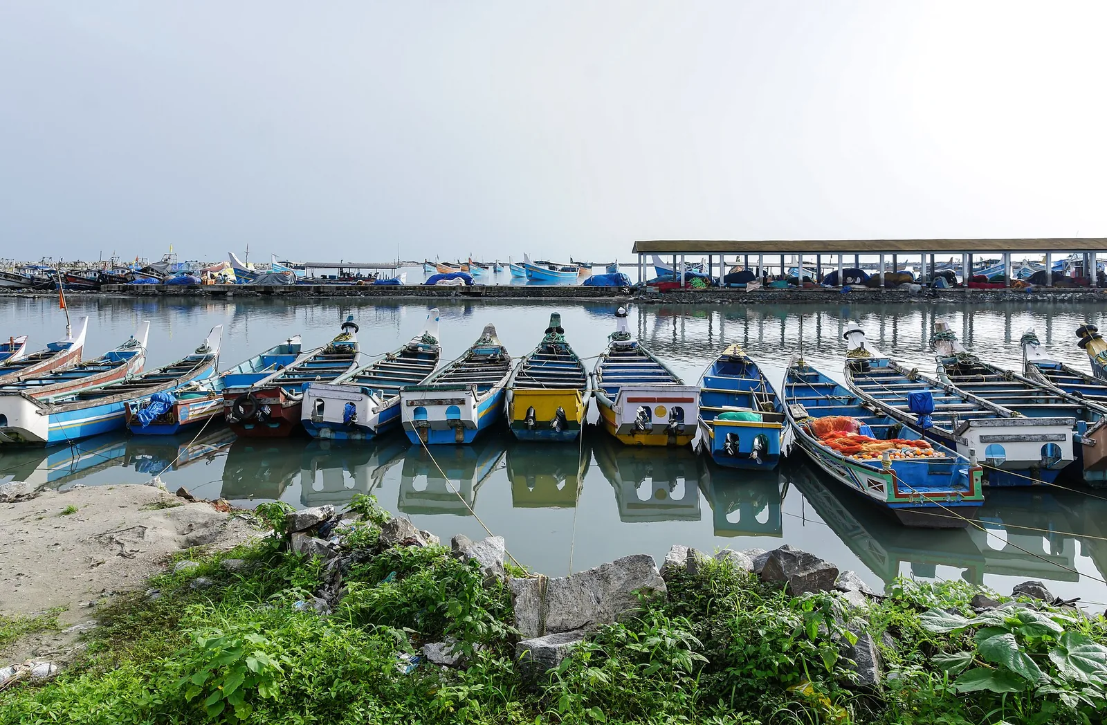
heritageKoyilandy

The medieval port of Panthalayani Kollam — Ibn Battuta’s Fandarayna, where Chinese junks wintered, and the anchorage where da Gama’s fleet lay 88 days in 1498. Nothing of the port survives above ground; the working fishing harbour is what you come for.

6.2 km · ~15 min by auto · straight line
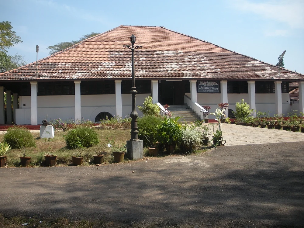
museumPazhassi Raja Museum

State archaeology museum at East Hill in an 1812 bungalow, with murals, bronzes, coins and megalithic monuments.

12.2 km · ~20 min by cab · straight line
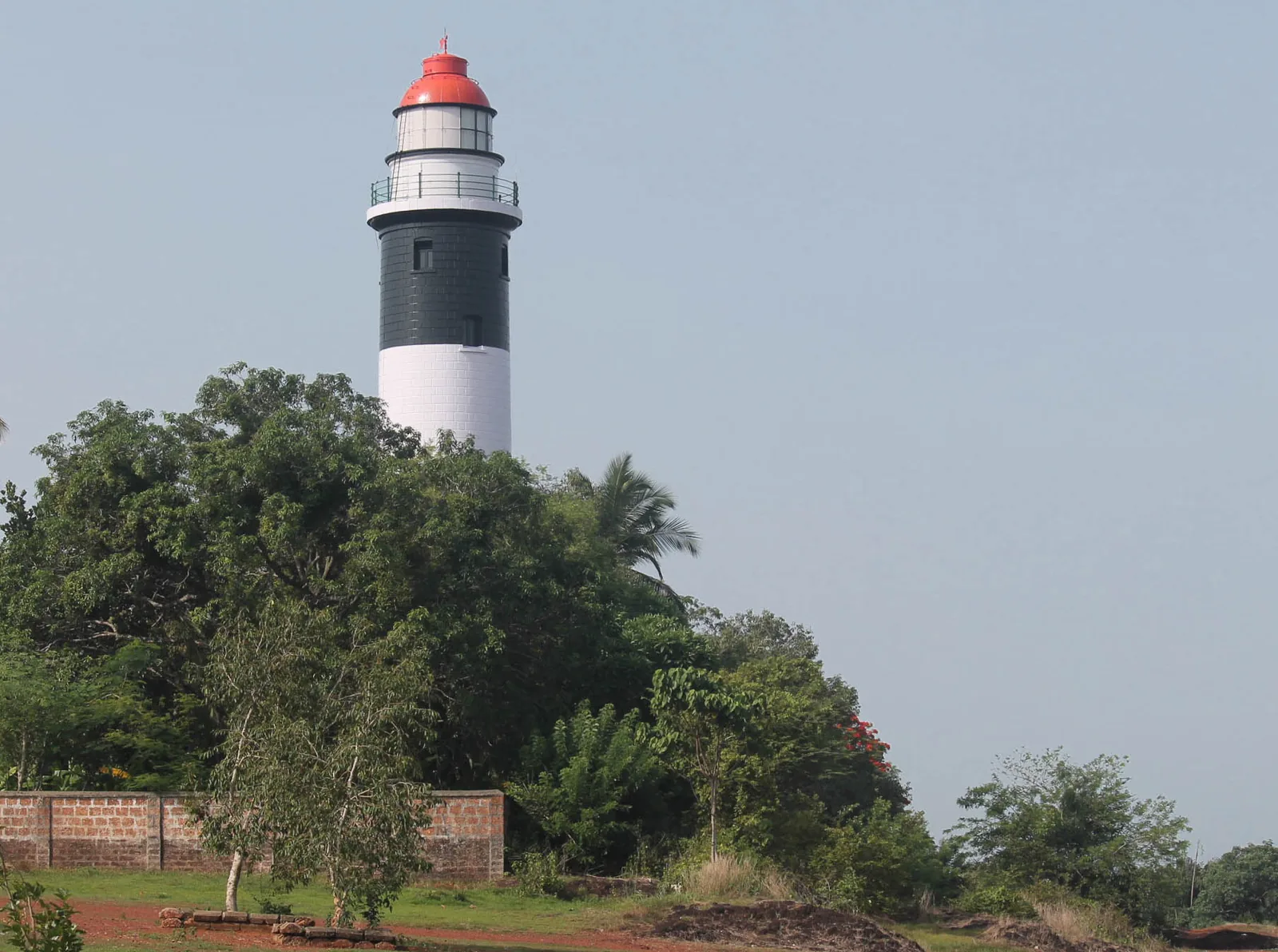
viewpointThikkoti Lighthouse

A 1909 lighthouse on the laterite headland at Kadalur Point, built to mark the submerged Sacrifice Rock eight kilometres offshore.

12.8 km · ~21 min by cab · straight line
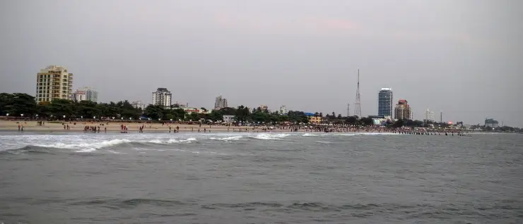
beachKozhikode Beach

City beach with old pier remains and sunset food stalls.

15.4 km · ~26 min by cab · straight line
wildlifeSarovaram Bio Park

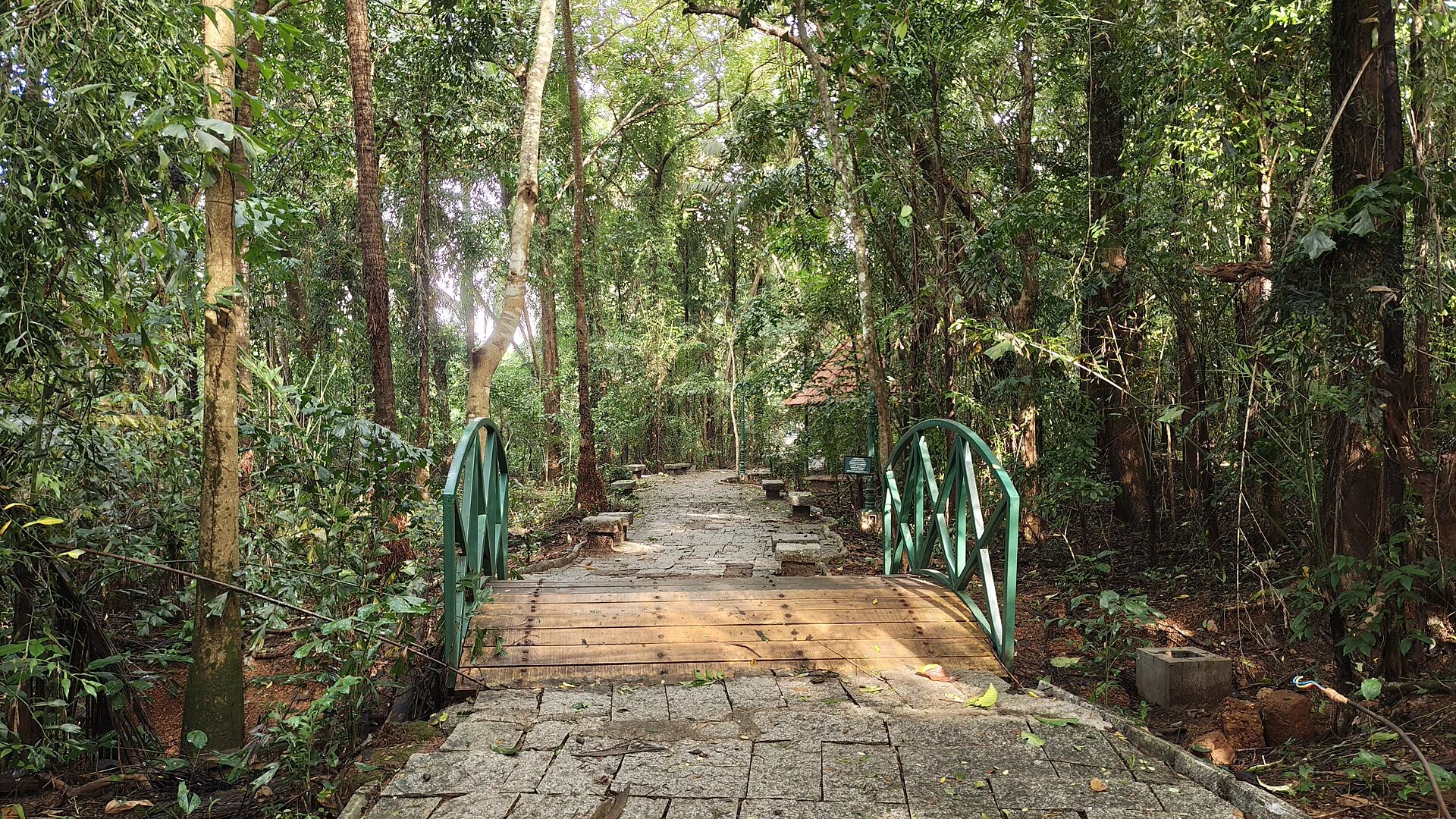
A 98-acre public eco-park on the Conolly Canal in central Kozhikode, the developed part of the Kottooli wetland — mature urban woodland and mangrove-fringed water, mid-renovation and partly not operating.

15.4 km · ~26 min by cab · straight line
museumRegional Science Centre and Planetarium

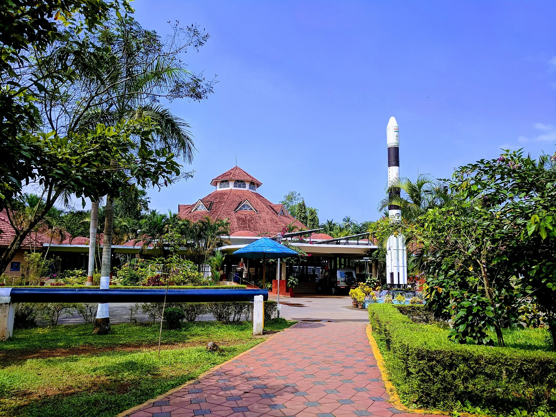
A National Council of Science Museums centre in central Kozhikode — five galleries, a 3D theatre and an outdoor science park. ⚠ Its planetarium has been closed for a projector replacement since 13 July 2026 with no announced reopening date.

15.5 km · ~26 min by cab · straight line
heritageMananchira Square

Landmark park in the city centre on the old Zamorin palace grounds, around the Mananchira tank, with a musical fountain.

16.0 km · ~27 min by cab · straight line
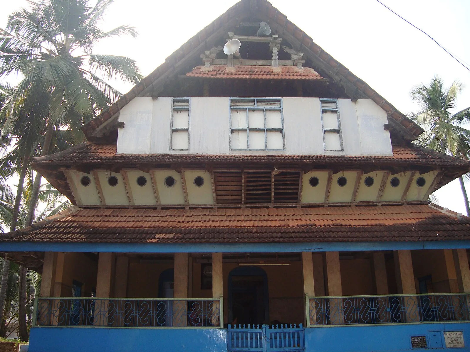
mosqueMishkal Mosque

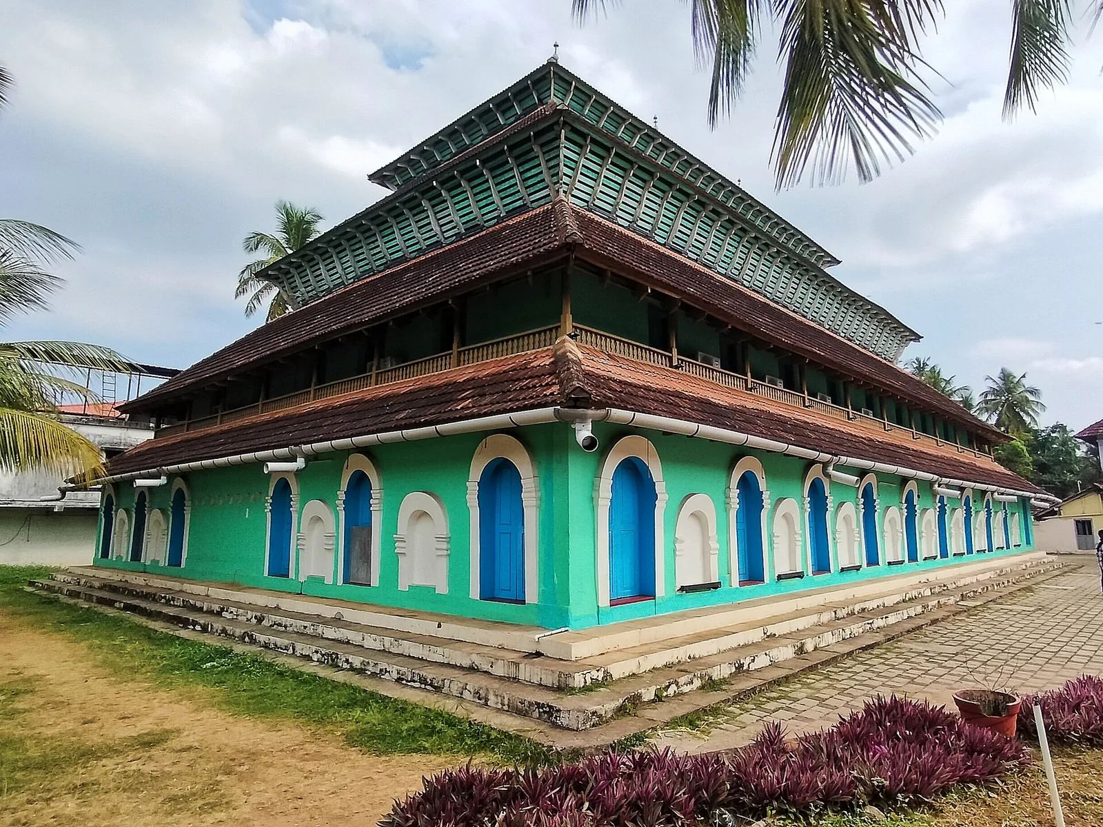
Historic timber mosque at Kuttichira built by a 14th-century Yemeni trader, once five storeys, burned by the Portuguese in 1510 and rebuilt.

16.8 km · ~28 min by cab · straight line
heritageSM Street / Mittayi Theruvu

Historic shopping street and sweet-stall area in Kozhikode city.

16.9 km · ~28 min by cab · straight line
templeThali Temple

One of Kozhikode’s oldest temples, a laterite-and-timber Shiva shrine near Mananchira long patronised by the Zamorins.

17.0 km · ~28 min by cab · straight line
mosqueMuchundi Mosque

Kuttichira mosque built by a freed slave and endowed by the Zamorin, holding a 13th-century bilingual Vattezhuthu–Arabic inscription; it has no minbar and holds no Friday prayers.

17.2 km · ~29 min by cab · straight line
beachKolavipalam Beach

An 8 km olive ridley nesting shore at Iringal, protected since 1992 by a village committee of twelve — and now largely armoured with seawalls, with seven nesting females recorded across the four seasons to 2023.

22.4 km · ~37 min by cab · straight line

All 4 places to visit in Kappad →

Nearby toilets, pharmacies, ATMs, seating and vets are community-mapped and may be incomplete or out of date. Map data © OpenStreetMap contributors | Walking times © openrouteservice.org by HeiGIT

On the map

Where Kappad Beach is

Good to know

Kappad Beach — frequently asked

Why is Kappad Beach famous?

It is traditionally regarded as the spot where Portuguese explorer Vasco da Gama landed in 1498, opening the direct sea route between Europe and India. A stone monument on the beach commemorates the event, and its inscription reads, “Vasco da Gama landed here, Kappakadavu, in the year 1498.”

Did Vasco da Gama really land at Kappad?

He anchored off it. The fleet made its landfall here on 20 May 1498 and lay about two leagues — roughly eleven kilometres — offshore. The first Portuguese ashore, the next day, was a convict-exile sent in a local boat, probably João Nunez. Da Gama himself did not land until 28 May, and by then the ships had moved five kilometres north to Panthalayini Kollam, because the pilot told them the anchorage at Kappad was bad, with a stony bottom. M. G. S. Narayanan (1932–2025) argued this for years; the Portuguese chronicles say the same thing; and William Logan had made the identification in the Malabar Manual. Treat the monument as commemorating the arrival, not the footstep.

What exactly does the monument say, and how old is it?

Fourteen words: “Vasco da Gama landed here, Kappakadavu, in the year 1498.” No day and no month — so any site telling you the plaque fixes 20 May, or 27 May, is inventing that. It is a plain stone pillar about five feet high, one square foot across at the top and two at the base. It is not Portuguese and it is not from 1498: the Madras Government put it up in 1939, replacing an earlier East India Company pillar that the sea had washed away, and the Kerala Department of Archaeology notified it as a protected monument in 1975. No Portuguese padrão has ever been excavated here.

Is Kappad Beach safe for swimming?

It is one of India's first Blue Flag beaches, certified in October 2020 and re-assessed annually, which brings lifeguard cover and a designated swimming zone among its thirty-three criteria. Stay inside the marked zone: the seabed is rocky in places, which is not a modern discovery — it is precisely why the Portuguese fleet was told in 1498 to move to a better anchorage. Take particular care with children, and avoid the sea in the monsoon when it turns rough.

How far is Kappad Beach from Kozhikode city?

It is roughly 16 km north of Kozhikode (Calicut), about a 30–45 minute drive depending on traffic, reached from NH66 by turning off at Thiruvangoor. Administratively it sits in Chemancheri panchayat, Koyilandy taluk; Koyilandy town itself is a further 9–10 km north. One caution: Kerala Tourism's own article once gave the distance as about 35 km, which is roughly double, so do not plan from that figure.

What is there to do at Kappad besides the monument?

Walk the rocky shoreline and the tide pools that open at low water, go up to the Orupottumkavu Bhagavathi Temple and the viewpoint on the northern headland, use the jogging track and walking paths built for the Blue Flag programme, watch migratory shorebirds work the tideline on the northern stretch, try fresh Malabar seafood at local shacks, and stay for the sunset. It suits a relaxed half-day rather than a full day of activities.

What is the temple on the rock?

The Orupottumkavu Bhagavathi Temple, a kavu — a sacred-grove shrine — on the northern headland, about 1.5 km from the memorial, with an open viewpoint beside it. Tourism copy calls it over 800 years old; that is tradition rather than record. No inscription, gazetteer citation or archaeological listing supports the figure, and the only notified monument at Kappad is the 1939 pillar.

When is the best time to visit Kappad Beach?

The cooler, drier months from roughly October to February are the most comfortable for the beach, with pleasant weather and calmer seas. The monsoon (about June to September) brings heavy rain and rough water. Late afternoon into sunset is the nicest part of any day here.

What are the entry fee and timings at Kappad Beach?

Entry: No entry fee to the beach is generally charged; parking or minor local charges may apply. Timings: Open daily, best enjoyed in daylight; late afternoon to sunset is ideal.

How do I reach Kappad Beach?

Visit from Kozhikode city or base near Kappad/Koyilandy for a quieter coastal stay. Use the monument and beach as a focused stop, then pair with food or northern-coast drives. Confirm current beach facilities and transport return before late-evening visits.

How much time do I need for Kappad Beach?

1 to 2 hours for a focused stop; half a day with nearby coast and food.

What else is near Kappad Beach?

Nearby you can pair Koyilandy (6.2 km), Pazhassi Raja Museum (12.2 km), Thikkoti Lighthouse (12.8 km), Kozhikode Beach (15.4 km).

What should I know before visiting Kappad Beach?

Follow local sea warnings and avoid rough-surf swimming. Avoid isolated stretches after dark. Use known taxis/autos if returning to Kozhikode city late.

Image credits

Photographs: SidhardhRamesh (CC BY-SA 4.0), Dijaraj Nair (CC BY-SA 2.0), Suresh Babunair (CC BY 3.0), Amaltaskombu (CC BY-SA 4.0), PP Yoonus (CC BY-SA 3.0), Manojk (CC BY-SA 3.0), Amruthasasikumar (CC BY-SA 4.0), Bipin VK (CC BY-SA 3.0), Chaitanya.lala at English Wikipedia (Public domain), Gannu03 (CC BY-SA 4.0), Irvin calicut (CC BY-SA 3.0). Wikimedia Commons.