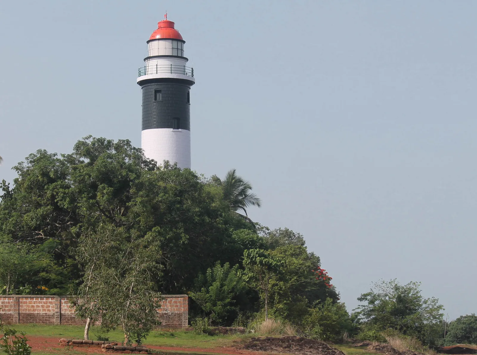
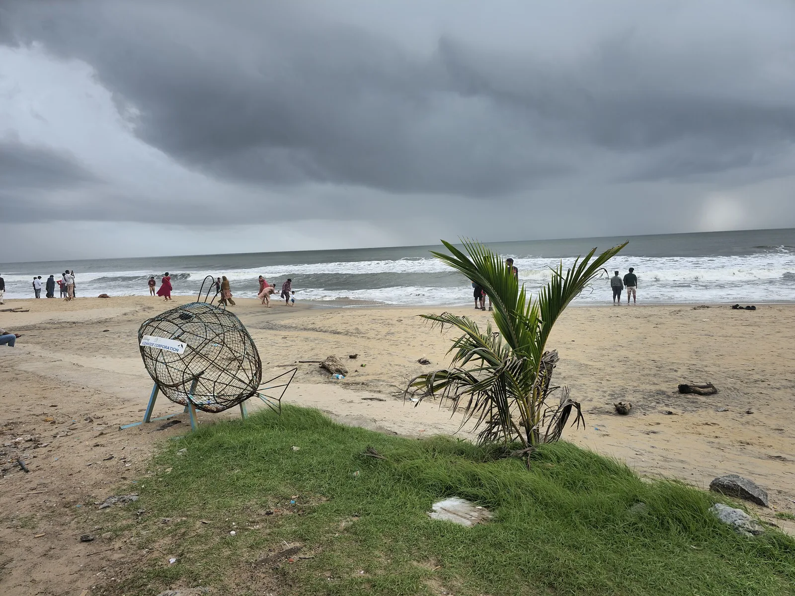
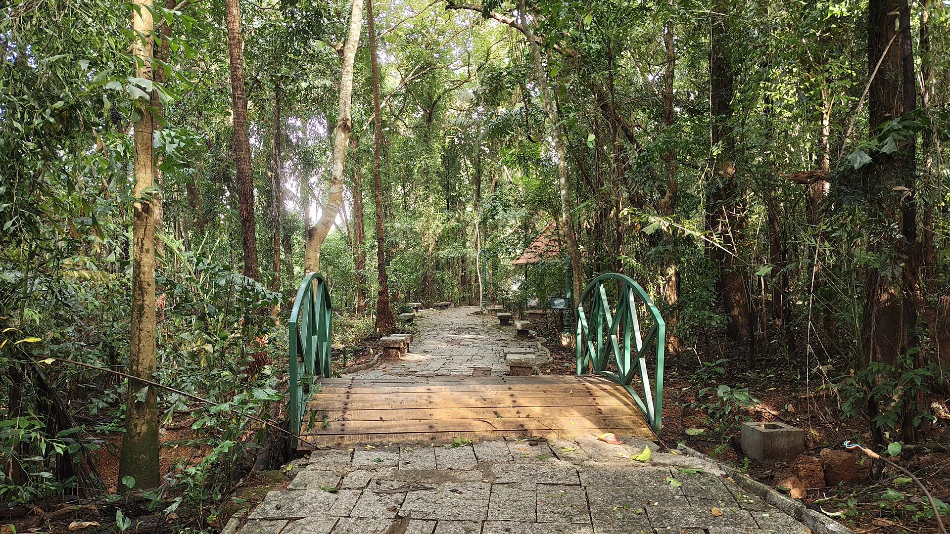
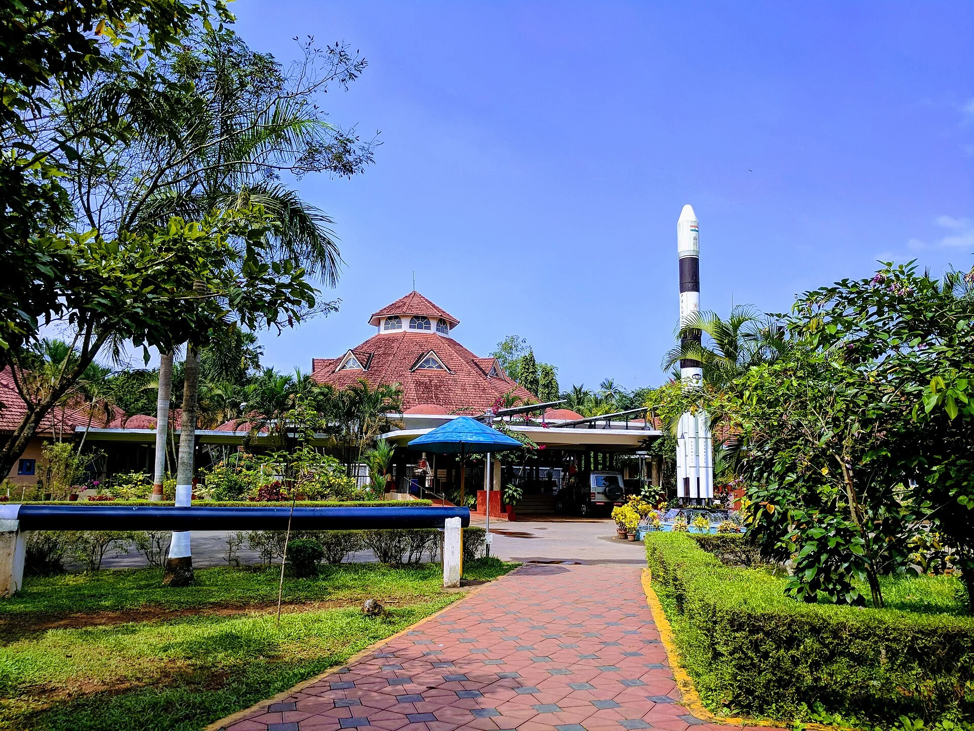
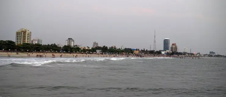
Kappad Beach — known locally as Kappakadavu — is a quiet, history-soaked stretch of the Arabian Sea coast in Chemancheri panchayat, Koyilandy taluk, about 16 km north of Kozhikode (Calicut). It is celebrated as the shore where Vasco da Gama's fleet made its Indian landfall in 1498 and opened the sea route between Europe and India — though what happened here, precisely, is more interesting than the plaque suggests, and the ships anchored some eleven kilometres offshore. Rocky outcrops, a broad ribbon of sand and a small tidal channel make it a calmer, less crowded alternative to Kozhikode's busy city beach, and since 2020 it has been one of India's first Blue Flag beaches.
The story of Kappad Beach
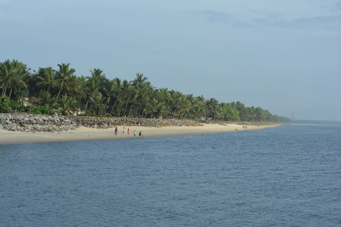
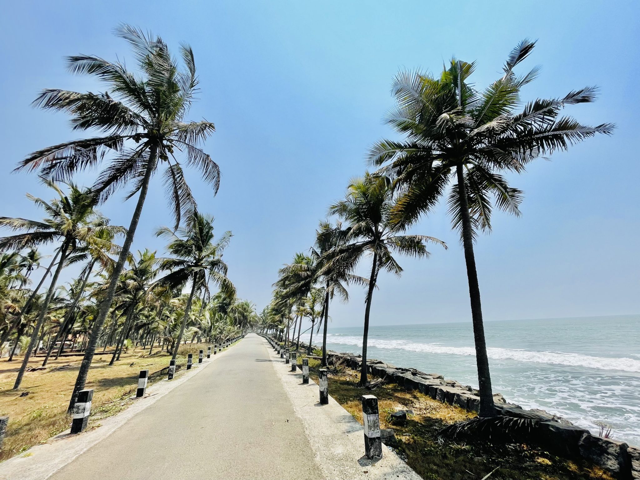
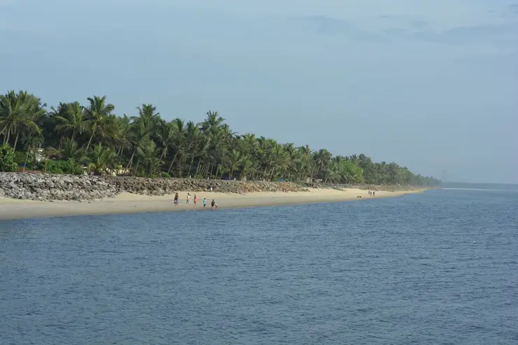
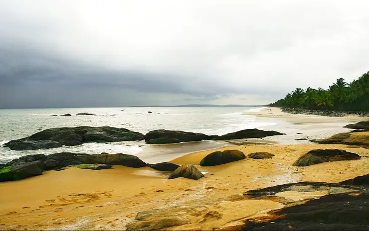
The first thing most visitors notice about Kappad is how gentle it feels. Where many Kerala beaches roar and heave, this one tends to unfold slowly — a wide apron of sand, clusters of dark weathered rock reaching into the shallows, and coconut palms leaning over the shoreline. A simple concrete promenade runs along part of the front, with benches, a small park and a couple of shacks selling tea, fresh coconut water and fried snacks.
At its southern end, a few hundred metres beyond the memorial, a small tidal channel cuts through the sand to the sea. This is the Kaippuzha, fed by the Chennicheri thodu, and about 700 metres upstream sits an Irrigation Department structure with an unusually descriptive official name — the Vertical Cross Bar cum Salt Water Extruder at Kaippuzha in Kappad — whose job is to stop tidal salt working its way inland. It is worth being clear about this, because the boat trips sold as Kappad backwaters do not run here: they use the Korapuzha and Arakkalpalam system, a separate set of waterways about four kilometres inland to the south-east, with the Korapuzha itself reaching the sea at Elathur some seven kilometres south. The channel at the beach is a modest thing, but the fringing greenery around it draws egrets and kingfishers and it makes a quiet counterpoint to the open sea.
The rocks are Kappad’s signature. Rather than a single unbroken sweep of sand, the shore is punctuated by low black boulders that break the waves and create shallow pools at low tide. They make the beach photogenic and give it character, but they also mean swimming is best done with care — the seabed is uneven and currents can be deceptive, so most visitors wade and paddle rather than swim far out.
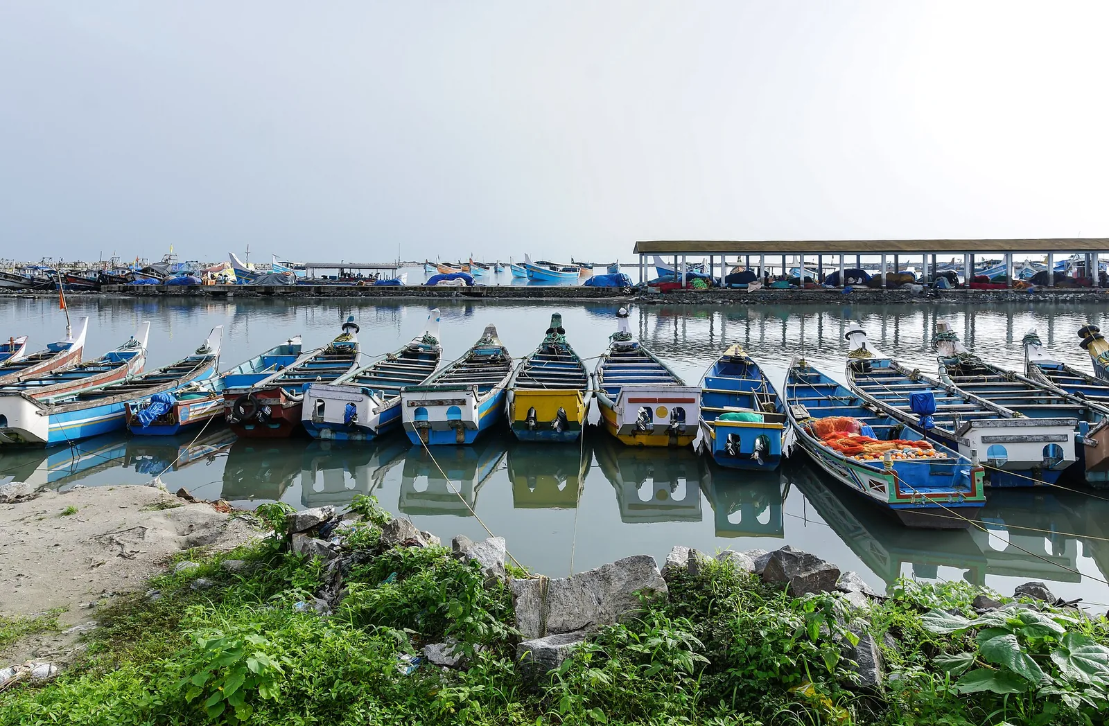
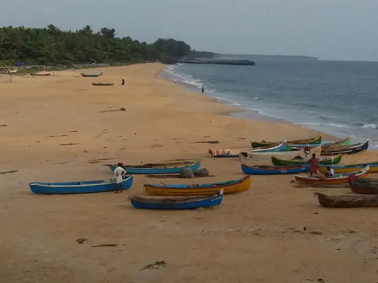
On the rocky headland at the northern end of the strand stands the Orupottumkavu Bhagavathi Temple, a kavu — a sacred-grove shrine — to the Devi, with an open viewpoint beside it looking back down the coast towards Kozhikode. Tourism copy widely dates it to over eight hundred years, and that figure is worth treating as tradition rather than record: no inscription, no gazetteer citation and no archaeological listing supports it, and the only notified protected monument at Kappad is the 1939 pillar at the other end of the beach. Small shrines, fishing hamlets and a working coastal community surround the sand, so a visit here is as much about watching everyday Malabar life — nets being mended, catch being sorted, families out at dusk — as it is about the sea itself.
Since 2020 the beach has also been a piece of national infrastructure, which is not a sentence you can write about many Kerala shores. Kappad was named on 11 October 2020 as one of India's first eight Blue Flag beaches, and on Sunday 29 December 2020 it became the first of the eight to physically raise the flag. The certification comes from the Foundation for Environmental Education in Denmark and is assessed against thirty-three criteria in four groups — environmental education and information, bathing water quality, environmental management, and conservation and safety services — with an international jury drawn from UNEP, UNWTO, FEE and IUCN. It is re-assessed every year, so the fact that Kerala Tourism was still listing Kappad as certified in February 2025 is itself the evidence that the standard is being maintained. For four years it was Kerala's only Blue Flag beach, until Chal in Kannur joined it.
Because Kappad is off the main tourist conveyor belt, it rarely feels crowded on weekdays. Sunset is the golden hour, when the light turns the rocks copper and the whole bay glows; weekends and holidays bring more local families and day-trippers from Kozhikode. There are a few resorts and homestays nearby, but the beach retains an unhurried, small-town Malabar feel rather than a resort-strip atmosphere.
For travellers, Kappad works best as a half-day trip combined with the historical draw: read the commemorative monument, walk the rocks, watch the backwater, and settle in for the sunset. It is a place that rewards a slow pace — history in the sand, birds in the mangroves, and the long horizon of the Arabian Sea that once carried the ships that changed the region’s fortunes.
Legend & myth
The document everyone cites to prove that Vasco da Gama landed at Kappad is the same document that explains why he could not have. It is in the journal, in one sentence, and almost nobody quotes it.
Start with where the ships actually were. The Roteiro — the anonymous journal of the first voyage, attributed to Álvaro Velho, a subordinate aboard the São Rafael, and translated for the Hakluyt Society by E. G. Ravenstein in 1898 — is not vague about 20 May 1498. They arrived at the entrance of a bay and saw in it a large city, and they anchored two leagues from the shore. Two leagues is roughly eleven kilometres of open water. The chronicler Castanheda supplies the reason they stopped there at all: the pilot mistook Capua — Kappad — for Calecut. The Melinde pilot was working a coast he knew by its headlands and had been blinded by a thunderstorm the day before. Kappad is where the fleet ended up because of a navigational error, not because anyone chose it.
The Portuguese sources do name this place. They write it Capua, Capucad, Capocate, Capogatto, and Logan's identification of those with Kappad has stood ever since. But they name it as an anchorage, which is what the local name says too: Kappakadavu contains kadavu, a landing or crossing place on the water.
Now the sentence. A pilot came out with orders to take the ships to a place called Pandarani, below the place where they had anchored at first, because the anchorage at the place to which they were to go was good, whilst at the place they were then it was bad, with a stony bottom — and the journal adds, flatly, that this was quite true. That is the whole argument in a single line written on the spot by a man who was there. Kappad's defining feature, the thing every photograph of it shows, is rock: a moss-blackened headland shouldering into the sea and reefs strewn through the shallows. The Portuguese diarist wrote down that the bottom was stone and the holding was bad.
What followed is a matter of dates. On 21 May a degredado — a convict-exile, not an officer — was sent ashore in a local boat; Correa names him João Nunez, and he appears to have been the first Portuguese to set foot on Indian soil. On 22 May Nicolau Coelho and one other went overland to find the Zamorin, who was away at Ponnani. Three days later the Zamorin received them, invited trade, and instructed the ships to move to Panthalayini Kollam, which was safer than where they lay. The fleet shifted on 27 May. And on the following morning, which was Monday, 28 May, the captain-major set out to speak to the king — going ashore with thirteen men, five kilometres up the coast. Eight days separate the date on the signboard from the day da Gama landed, and about five kilometres separate the monument from the place he landed at.
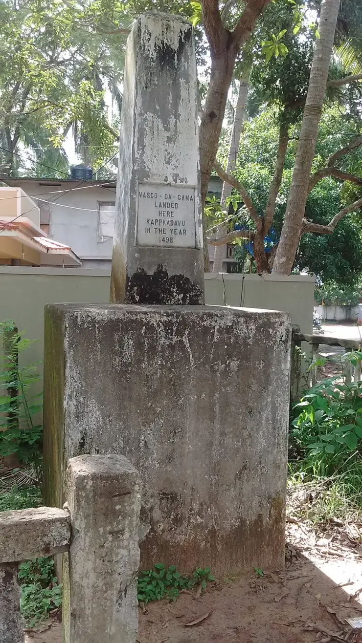
Which brings us to the monument, and it is not what visitors assume. It is not Portuguese and it is not old. It is a plain stone pillar five feet high, one square foot across at the top and two at the base, and the Madras Government put it up in 1939 — 441 years after the event — replacing an earlier pillar erected by the East India Company which the sea had washed away. The Kerala Department of Archaeology notified it as a protected monument in 1975. No Portuguese padrão has ever been excavated at Kappad; the fleet carried dressed stone pillars, one or two of marble, most bearing a cross and a few the royal arms, and da Gama planted them elsewhere.
The inscription itself is the most honest thing on the beach. Fourteen words: Vasco da Gama landed here, Kappakadavu, in the year 1498. No day. No month. No authority, no source and no date of erection. Whoever cut it committed to a year and stopped — which means every website that presents the plaque as fixing 20 May, or 27 May, is putting a date into the stone's mouth. The widely repeated claim that the plaque reads 27 May 1498 is simply false.
One small thing, which you can check for yourself if you go. Both the Department of Archaeology's own page and the published paper transcribe the place name on the tablet as Kappakadavu. Two independent free-licensed photographs of the plaque, taken three years apart in 2013 and 2016, both plainly read KAPPKADAVU — no second A. It is a trivial difference and it may simply be that the transcribers tidied a cramped line. But it is a fair emblem of the whole monument: even the spelling on the stone has been quietly corrected by the people describing it.
There is one last flourish, and it is entirely checkable. The Department of Archaeology publishes the position of its own protected monument as 11° 38' 00.8" N, 75° 72' 21.6" E. A longitude cannot have 72 minutes, and 11° 38' N would put the pillar some 28 kilometres up the coast. Read the digits as plain decimals instead — 11.38008, 75.72216 — and they land within about twelve metres of the memorial. The state has published its own monument's location in a format that cannot be plotted.
None of which makes Kappad a fraud. A monument that is genuinely eighty-seven years old, replacing one the sea took, marking an event that happened eleven kilometres offshore, is a more interesting object than the one most visitors think they are looking at.
Read the full history of Kappad Beach 1095 more words
History
Kappad’s fame rests on a single, world-changing moment. On 20 May 1498 the Portuguese navigator Vasco da Gama reached the coast near Calicut (Kozhikode) after sailing around the Cape of Good Hope, becoming the first European to reach India by sea, and the fleet made its landfall off this shore. A stone monument at the southern end of the beach carries the inscription, “Vasco da Gama landed here, Kappakadavu, in the year 1498.” The date on every signboard and the day the captain-major's boot touched Kerala are eight days apart, and the monument stands about five kilometres from the place it touched — a discrepancy the fleet's own journal explains, and which is set out in full below.
The voyage that ended here had already been ten months and eleven days at sea, and the waypoints are documented. São Tiago in the Cape Verdes on 27 July 1497; St Helena Bay on 7 November; the Cape of Good Hope sighted on 18 November and rounded at the third attempt on 22 November; the Bay of São Brás, where the damaged supply ship — the fourth of the four — was broken up and burned and her people redistributed; the Limpopo estuary; the Quelimane on 24 January 1498; Mozambique on 2 March; Mombasa on 7 April, where the two Mozambique pilots escaped by jumping overboard; and Melinde, Malindi, from 15 to 23 April. The fleet left Melinde for Kozhikode on 24 April 1498 with a pilot supplied by its king. Ravenstein reckoned that leg at about 2,340 miles, or 682 leagues. Twenty-three days followed with no land in sight, until on 18 May they raised Ezhimala — Mount Delly, a 260-metre headland near Payyannur, about 38 km north of Kannur — from some thirty miles offshore.
The voyage mattered because it broke open the spice trade. For centuries, pepper, cardamom, cinnamon and other spices from the Malabar coast had reached Europe only through long chains of Arab and Venetian middlemen. By finding a direct sea route, the Portuguese could bypass those intermediaries — and Calicut, ruled by the powerful Hindu monarch known as the Zamorin (Samoothiri), was already one of the greatest spice-trading ports in the Indian Ocean, a cosmopolitan hub where Arab, Chinese and Indian merchants had long done business.
Da Gama was received by the Zamorin, but the meeting was uneasy: the modest gifts the Portuguese offered were unimpressive by the standards of a wealthy court, and established Arab traders had little reason to welcome a rival. Even so, the contact set in motion a long and often violent chapter of European involvement on the Malabar coast — repeated Portuguese voyages, fortified trading posts, and eventually a scramble among European powers that reshaped the politics and economy of the whole region.
It is worth noting honestly that historians debate the exact landing spot, and that the debate is no longer especially finely balanced. The Kerala historian M. G. S. Narayanan (1932–2025) argued that da Gama came ashore not at Kappad but at Panthalayini Kollam near Koyilandy, which had a working port whereas Kappad did not, and complained that nobody had tried to clear up the misconception — the government having gone so far as to install a memorial stone on the beach. He is not alone. P. T. Parthasarathi, working from the Portuguese chronicles in a 2017 paper for the journal Heritage, reaches the same conclusion: it was on 28 May that da Gama actually set foot on land, at Panthalayini Kollam, about five kilometres from Kappad and not at Kappad, where the ships had cast anchor. William Logan, in the Malabar Manual, had already identified the chroniclers' Capogatto and Capocate with Kappad, about ten or eleven miles north of Calicut, and noted that the fleet was later moved to Pandarane.
The coast the Portuguese were trying to read is a coast of mudbanks and headlands, and that is the key to the whole episode. Arab pilots navigated by exactly those features: seasonal mudbanks damp the swell and create sheltered anchorages off otherwise open shores, while headlands supply the fix. Kappad has the headland and it has the rock, but it does not have the mudbank — which is the physical reason its holding ground was poor and the reason Panthalayini Kollam, five kilometres north, was the working port. It also helps to know that the Zamorin was not at Calicut when the Portuguese arrived. He was at Ponnani. That is why nothing happened for the better part of a week.
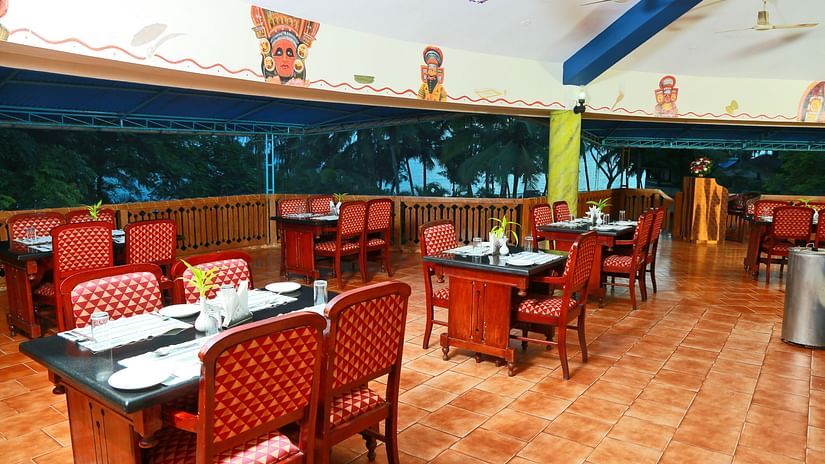
In more recent times the beach was developed as a heritage tourism site, and the usually-told version credits the smaller of the two projects. A ₹1.5 crore beautification launched in 2007 added a corniche, a park, restrooms and a restaurant. The far larger investment came in 2019–20 for the Blue Flag build: ₹6 crore from the Union government and ₹1 crore from Kerala, ₹7 crore in all, which paid for walking paths and a jogging track, clean toilets and changing rooms, showers, seating and fully disability-accessible restrooms. At handover the beach was run by a forty-strong team employed by the infrastructure contractor, with revenue from ticketing, jogging-track fees, a cafeteria and parking. The run-up included a September 2020 eco-labelling campaign under the slogan I am saving my beach, with the Koyilandy MLA K. Dasan hoisting a Saving My Beach flag on the eve of International Coastal Cleanup Day. Underneath all of it, four groynes spaced roughly 180 to 200 metres apart along the southern half of the strand are the reason there is still sand to walk on.
Why visit
Stand where the sea route to India began — few beaches anywhere carry a historical weight to match the Vasco da Gama landing, marked here by a simple commemorative monument.
Enjoy a calmer, less commercialised beach than the city front at Kozhikode — Kappad stays uncrowded on most weekdays and keeps an unhurried Malabar character.
Photograph the distinctive rocky shoreline, where black boulders, tide pools and leaning palms make for far more interesting compositions than a flat sand strip.
Swim inside a marked, lifeguarded zone on one of India's first Blue Flag beaches — certified in October 2020, first of the eight to raise the flag, and re-assessed every year since.
Catch one of the coast’s finest sunsets: the beach faces west into open Arabian Sea with nothing between it and the horizon, and low light sets the rocks glowing.
Combine history, the Orupottumkavu Bhagavathi shrine on the northern headland, fresh Malabar seafood and everyday fishing-village life in a single easy half-day trip from Kozhikode.