Arippara Waterfalls

Arippara Waterfalls spreads across a rocky stretch of the Iruvanjippuzha in inland Kozhikode, near the Thiruvambady–Anakkampoyil route. Also written Aripara, it is a sequence of drops, channels and pools rather than a single tall curtain of water. The broad rock surfaces are central to its appearance: rounded hollows and narrow chutes become visible when water is lower, while stronger flow covers much of the same terrain in foam. Plan a visit through the designated approach and view the river from permitted ground; the pools are not a guarantee of safe swimming.

Arippara Waterfalls, Arippara, Thiruvambady
Practical guide

Plan Arippara Waterfalls

Who's going?Tailor Arippara Waterfalls to your trip
Typewaterfall
AreaArippara, Thiruvambady
DistrictKozhikode
Best timeDTPC Kozhikode identifies the monsoon as…
Time neededAllow approximately 60–90 minutes for…
Entry₹10
Places to visit4Listed businesses9
The story

Arippara is as much a rock landscape as a waterfall. Water slips through narrow cuts, spreads over dark shelves and gathers in rounded hollows before moving on. The same river can present a broad white rush or a detailed arrangement of pools and stone, depending on its flow.

The story of Arippara Waterfalls

The first impression is often width. Instead of looking up towards a distant lip, the visitor looks across a river broken by substantial boulders. Some rocks divide the current into two channels; others sit within the foam, their upper surfaces momentarily exposed. The falls are part of a continuing river course rather than an isolated drop at the end of a path.

Kerala Tourism and DTPC describe an eight-level system and record names including Sullukallu, Vattakkuzhi, Nirannapara, Olichuchaattom, Shwasakkuzhi and Neelakkayathadaakam. The names reflect a landscape recognised in separate parts. They are not a checklist of swimming places or a promise that every level is accessible during one tourist visit.

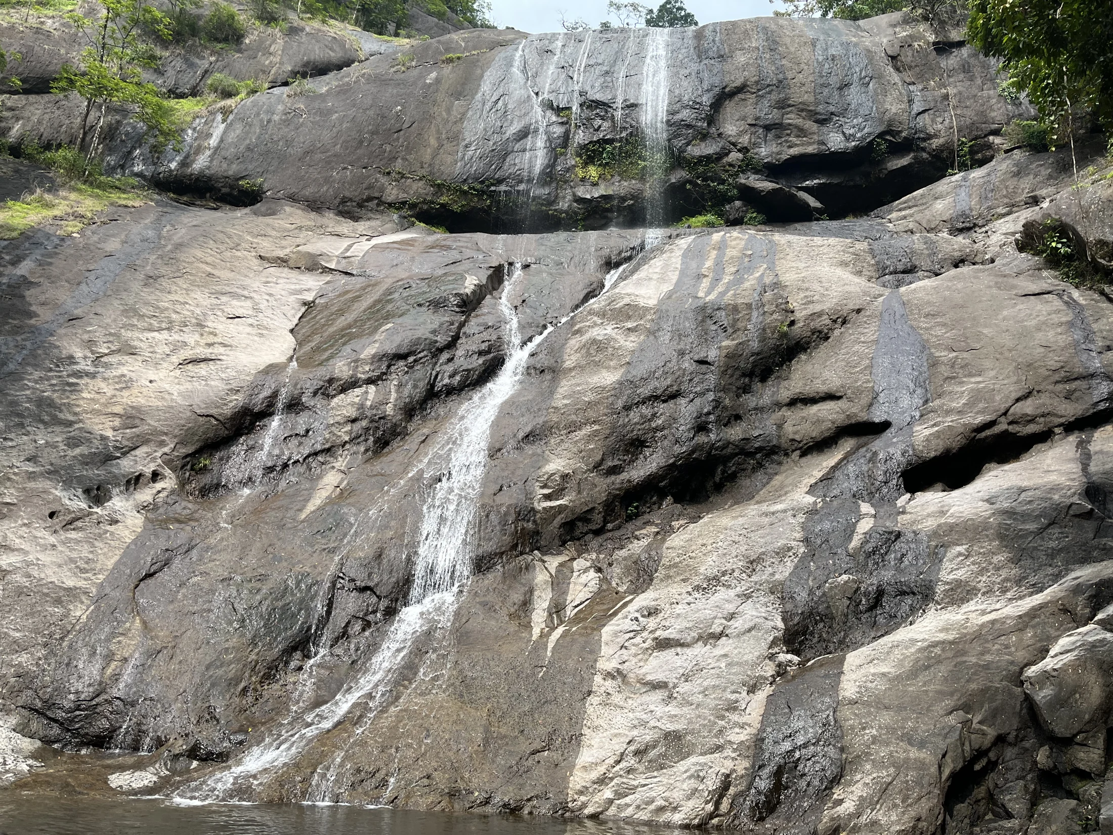
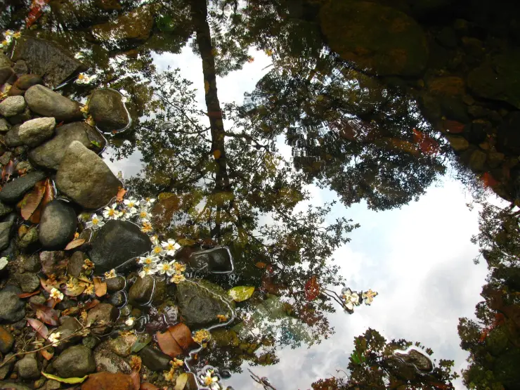
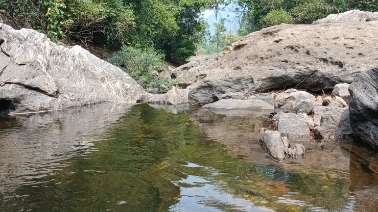
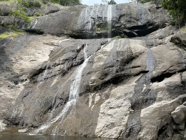
The rock hollows are particularly noticeable in lower-water photographs. Rounded depressions hold reflections, while narrow seams carry small runs of water between them. The smooth surfaces and abrupt changes of level give the exposed riverbed a complex shape. Observe these forms from the designated visitor ground without assuming that the dry-looking surface provides secure footing.

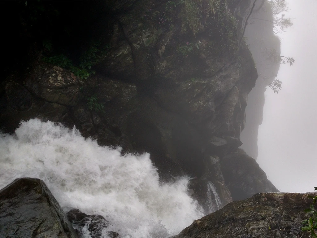
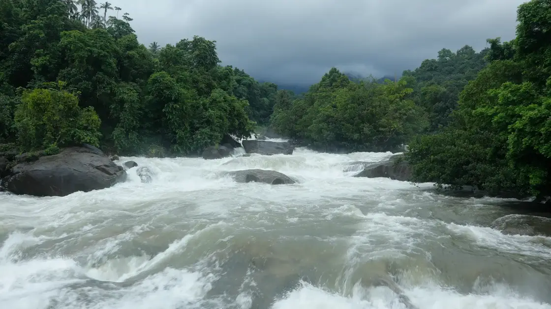
In stronger-flow images, much of that detail disappears. White water crosses the foreground and pours around the larger boulders, with the wooded banks forming a dark frame. Comparing the two views explains why a single photograph cannot represent Arippara throughout the year. Water changes the visible geography of the place as well as its sound and scale.

The river is identified as the Iruvanji in tourism accounts and as Iruvanjippuzha in wider local usage. Its landscape belongs to the inland slopes of Kozhikode, with Thiruvambady and Anakkampoyil providing useful settlement names for the journey. The beach and railway station at Kozhikode are the distant transport gateway, not the immediate setting of the falls.

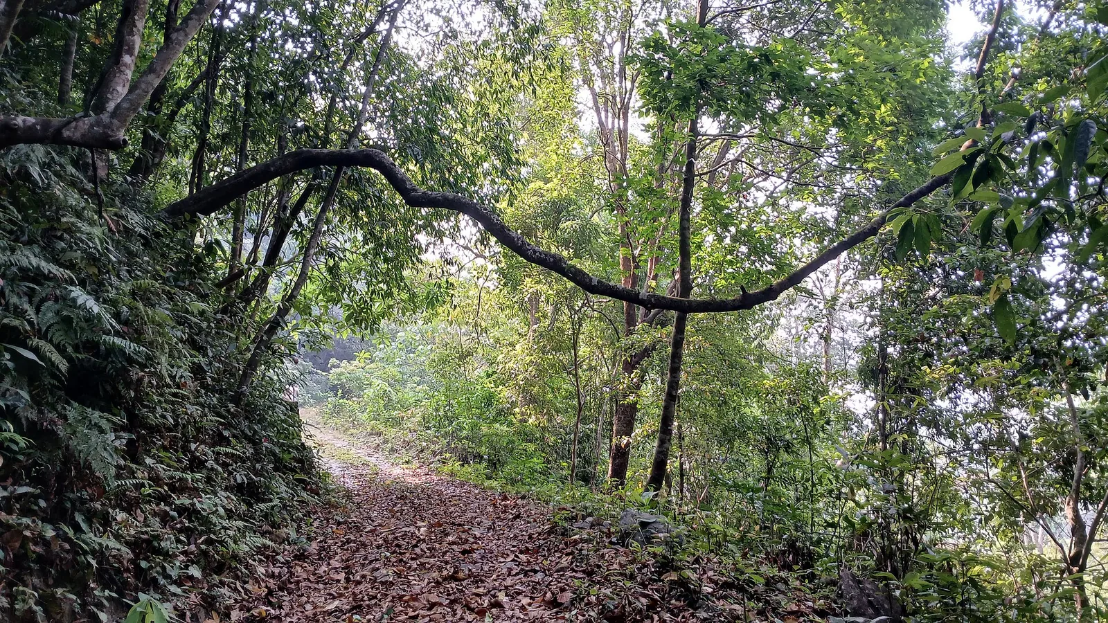
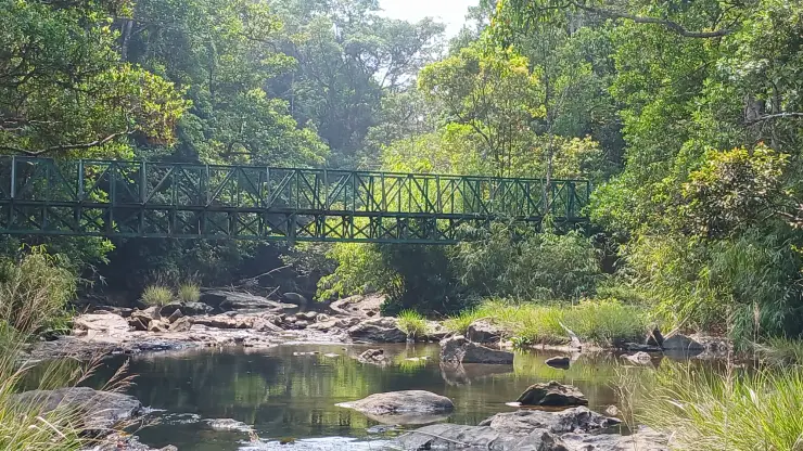
The banks carry dense greenery, including plants that hang over the water and boulders. This soft edge contrasts with the exposed channel. Looking along the bank can reveal how the river is enclosed by vegetation, while a view directly towards the current emphasises the force and branching movement of the water. Both are worth taking time to observe.

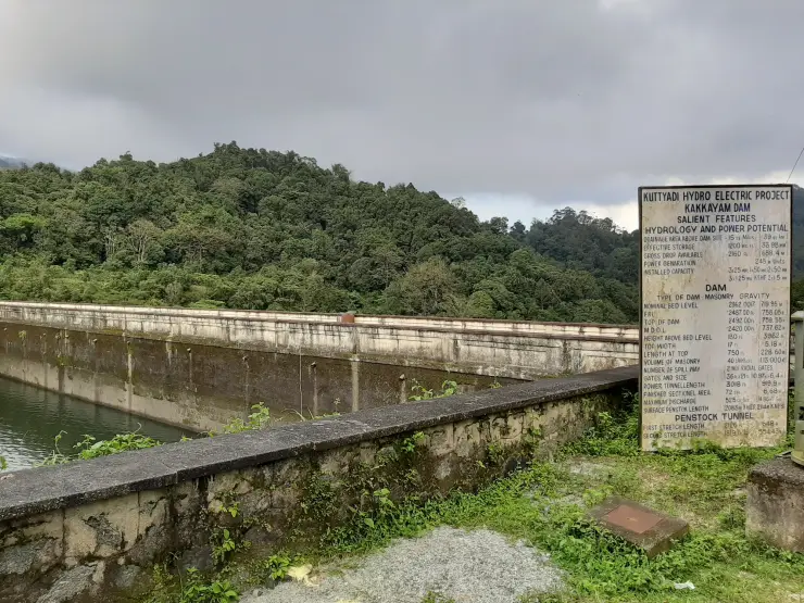
Arippara’s modern setting also includes hydropower. CIAL identifies a 4.5 MW project on the Iruvanjippuzha at Arippara, commissioned in 2021. The project is a working energy asset, distinct from the waterfall visitor area. Its existence is a reason to be precise about the approach road and access boundaries, not an invitation to explore its buildings.

Thusharagiri is a different destination within the same broad inland travel area. Kerala Tourism places it roughly 12 km from Arippara in its visitor account. A combined day requires two separate approaches and an assessment of conditions at each. Arippara’s broad rocky riverbed should not be described with the trail sequence or admission arrangements of Thusharagiri.

A rewarding visit can be quite focused. Watch one channel split around a rock, compare the still-looking surface behind a boulder with the moving water beside it, and then step back to see the whole river. These observations give the place depth without requiring a climb through the riverbed or a long catalogue of unverified activities.

The hydropower project adds a second way to understand this stretch of the Iruvanjippuzha. In its presentation hosted by the International Civil Aviation Organization, CIAL identifies Arippara as a run-of-river scheme with limited storage. Such a description concerns how the generating system uses the river. It does not turn the river into a constant-volume channel or establish that the visitor pools have predictable conditions throughout a day.

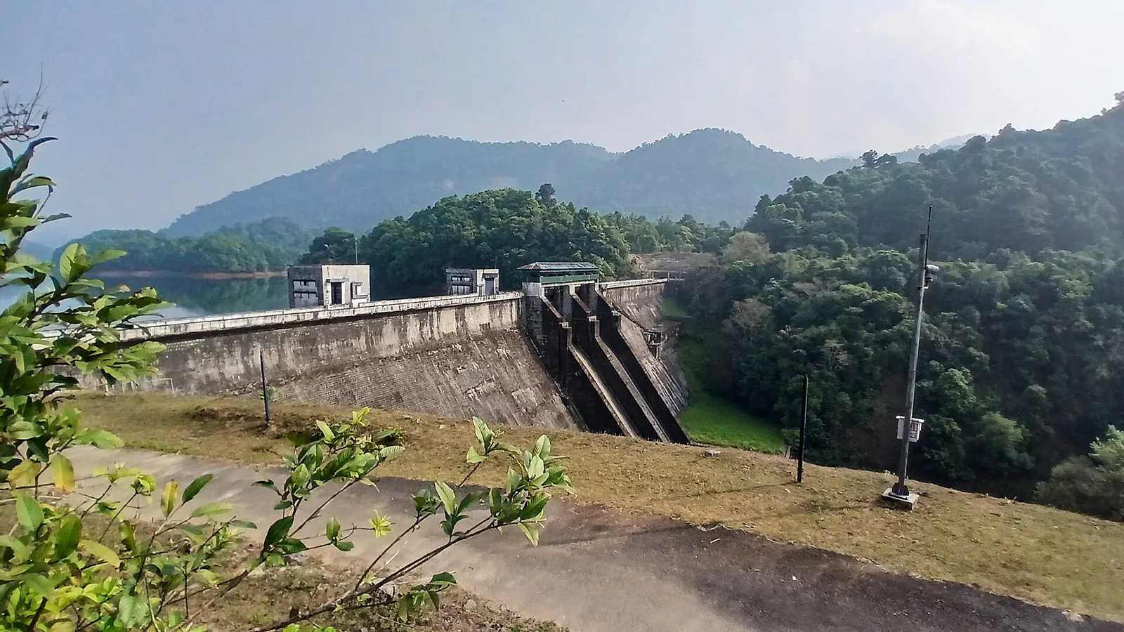
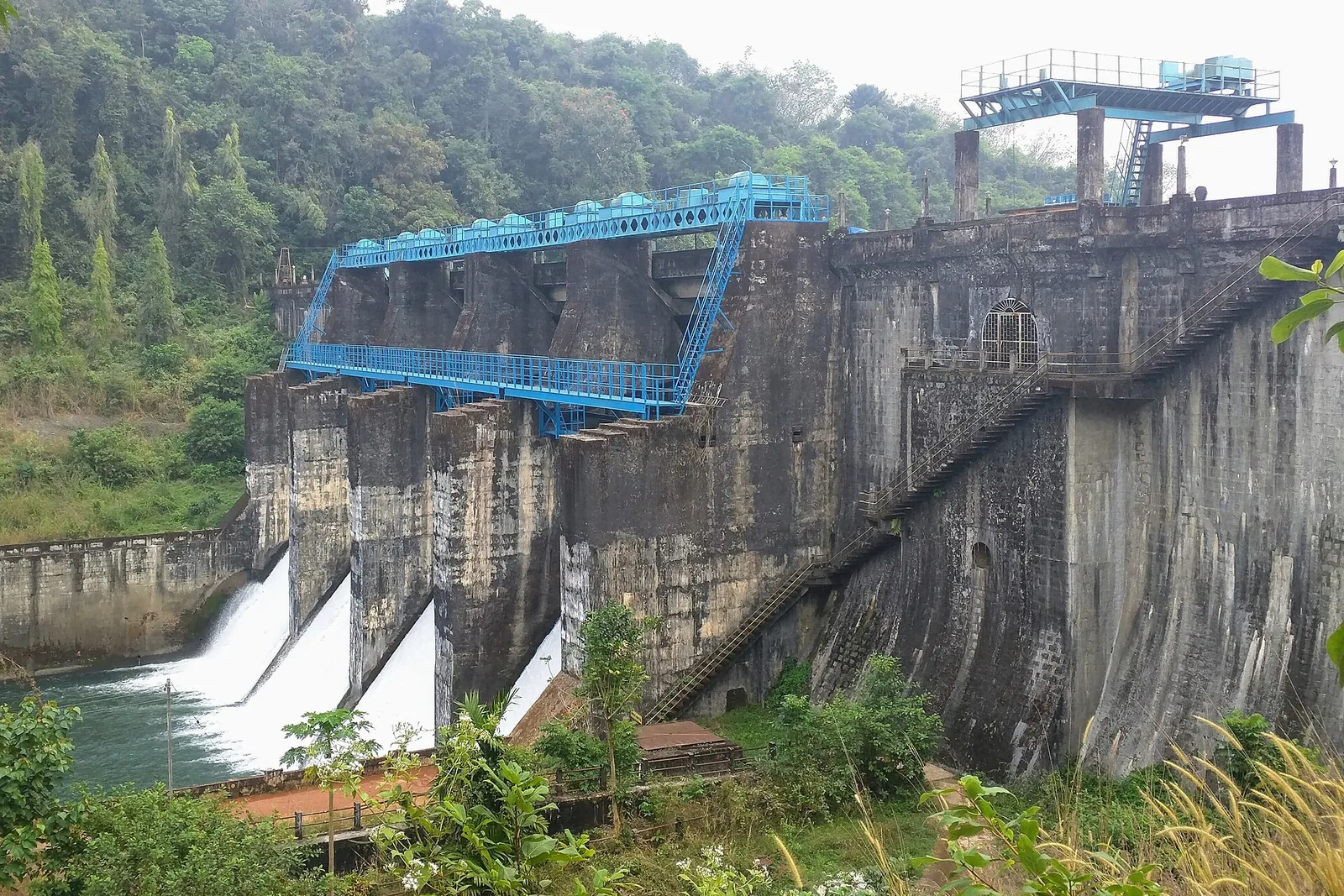
CIAL’s layout names an overflow weir and intake pool, a water-conductor system, a surge tank and a penstock before the powerhouse. These terms describe successive jobs. The intake admits water to the system; the conductor takes it towards the generating works; and the penstock carries it to the turbines. Understanding that sequence helps distinguish a photograph of a working project component from one of Arippara’s natural rock channels.

The powerhouse is described as being on the right bank, with two horizontal Francis turbines rated at 2.25 MW each. Together they account for the project’s 4.5 MW capacity. The operator records commissioning in November 2021, while CIAL Infrastructures’ annual report describes power evacuation at 33 kV. These are useful facts about the modern river landscape, but the public waterfall approach remains separate from the installation and its operating compound.

Waterfall names can be misleading when they suggest a single vertical drop. At Arippara, the named stages occupy a riverbed with changing widths and levels. A wide photograph shows several currents flowing at once around separate boulders. A close photograph may isolate only one slot and make it appear to be the whole waterfall. Begin by locating the opposite bank and the upstream direction; the smaller details then make more sense within the continuing river.

The exposed hollows illustrate how the rocks shape a visitor’s perception of depth. A still reflection can conceal the bottom, while a shallow run of clear water may reveal more of the surface beneath it. Colour and transparency alone cannot settle whether a pool is safe to enter. The useful observation is the relationship between the hollow and the active channel beside it, viewed from the permitted visitor position.

For photographers, the wooded banks provide a useful scale. A frame filled entirely with foam can make a short run look immense; including a boulder and the far-bank trees restores the proportions of the place. The photographs collected here deliberately show different water levels and angles. They are best read together as a record of a variable river landscape, rather than as competing promises about which view a visitor will find.

The local transfer deserves its own attention when arriving by public transport. DTPC names Aanakkampoyil bus stand as the nearby bus reference, while the major rail arrival remains Kozhikode. Those are two different stages of the journey. Establish the last road transfer and the return connection before leaving the bus stand, particularly if combining Arippara with Thusharagiri, whose entrance and operating arrangements are separate.

A group with mixed walking abilities can organise a shorter visit around the permitted viewing ground. Discuss the final approach before everyone leaves the vehicle, and choose a meeting point on the landward side. Someone waiting near the arrival area should not be expected to follow the group over the river rocks later. Arippara’s broad composition can be appreciated without making the visit depend on reaching each named stage.

Arippara also sits within a larger watershed. The Centre for Water Resources Development and Management identifies the Iruvanhippuzha watershed within the Chaliyar River basin in its research programme. The waterfall is therefore one visible place along a connected drainage system. Rain falling beyond the visitor’s immediate view can matter to the river, which is why a clear sky over the rocks is not enough to judge conditions throughout the catchment.

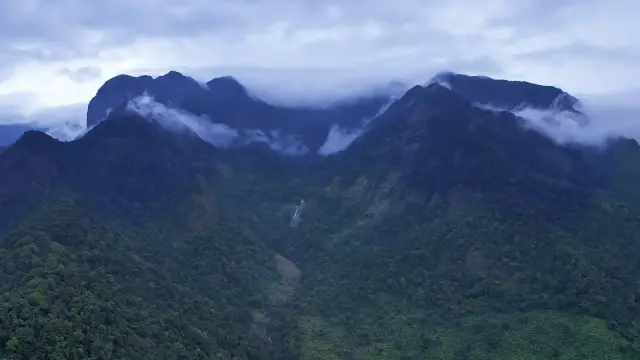
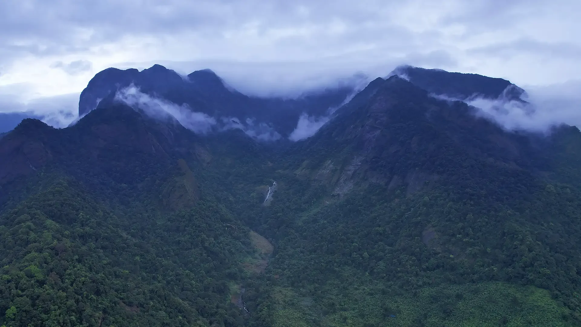
Thinking at that basin scale adds something to a short visit. The boulders direct the water at close range, while the surrounding slopes supply the river over a much larger area. The wooded bank, the current and the engineered hydel installation each show a different relationship with that water. A visitor can understand those relationships from the permitted viewing ground without treating the riverbed as an exploratory walking route.

The river’s names also appear in several English forms: Iruvanji in the tourism description and Iruvanjippuzha or Iruvanhippuzha in wider institutional use. Keep the waterfall name and Anakkampoyil–Thiruvambady locality attached to a travel enquiry. That combination makes the destination clearer than searching for a river name alone, which can return places far from the visitor entrance.

Arippara's connection with an airport is an unusual part of its modern history. The hydel scheme belongs to CIAL Infrastructures, a subsidiary of Cochin International Airport Limited. Its 2021–22 annual report places the project within a renewable-energy business that also operated solar installations. The corporate connection reaches beyond Kozhikode's hill country, but the generating asset itself uses this particular river landscape. It is a useful example of how an inland waterfall locality can participate in a wider energy network.

The company's account also distinguishes generation from transmission. Water passing through turbines produces electricity at the station; electrical equipment then carries that output into the network. The report describes the voltage used for power evacuation as a measure intended to reduce transmission losses. That word, evacuation, refers to moving electricity away from the generating plant. It is not a visitor evacuation route or an instruction about water released from the scheme, two very different meanings that can otherwise confuse a quick reading of an engineering description.

Capacity and energy answer different questions in this setting. The project's megawatt rating describes generating capability, while energy accumulated over a period is counted in units such as kilowatt-hours. A photograph of strong water at the falls cannot establish the plant's output at that moment, and a corporate annual total covering several installations cannot be assigned entirely to Arippara. For a visitor, the relevant connection is the use of the river's changing level, understood separately from the particular amount of electricity recorded by the operator.

The scheme can also be compared with Perunthenaruvi in Pathanamthitta without merging their identities. Both are waterfall localities with small hydel projects, but they occupy different river basins and use separately described machinery and layouts. Arippara's operator identifies Francis turbines; KSEB's Perunthenaruvi planning document describes tubular turbine units. Those differences show why a general image of a dam or powerhouse cannot stand for either place. Each engineering story belongs to its own watercourse and installation.

For a family visit, this can become a simple sequence of questions after observing the natural channels: what makes the water move, where could a change in height be useful, and how would the resulting electricity leave the site? The answers can be discussed from the designated viewing ground. There is no need to approach a pipe, intake or working building to understand the principle. Arippara's interest lies in seeing a real river first, then relating its modern use to the landscape already in view.
Read the full history of Arippara Waterfalls 185 more words

History

Arippara and Aripara are alternative spellings used for this Kozhikode waterfall. The local settlement names and river identify the destination more reliably than a single English transliteration.

Kerala Tourism interprets the name Arippara as rock of rice. It is a published explanation of the place name; the visible feature that visitors can examine is the rocky river landscape itself.

The waterfall forms part of a named sequence of river features described in state and district tourism guidance. These local names preserve distinctions within the cascade system, even when a short visit takes in only the open viewing area.

A later chapter in the locality’s history is the Arippara small hydroelectric project. CIAL’s corporate account dates commissioning to 2021 and identifies its capacity as 4.5 MW. The project and the waterfall remain different visitor-access subjects.

Why visit

Observe a river cascade spread across boulders, shelves and smaller channels.

Compare the exposed rock forms of lower flow with the fuller wet-season waterfall landscape.

Experience a different inland Kozhikode river setting from Thusharagiri’s forest waterfall route.

Spend time watching the relationship between dense bankside vegetation and the open rocky channel.

What to expect

Highlights

  • The river divides around large boulders and rock shelves, producing several different cascades within the same view.
  • During reduced flow, rounded hollows and smooth channels can be observed in the exposed rock from the visitor side.
  • Dense vegetation along the banks contrasts with the open stone and white water, giving the river a strongly enclosed setting.
  • The hanging-bridge approach helps identify the visitor area; its current opening and use remain subject to local directions.
  • Arippara and Thusharagiri offer different waterfall landscapes and should be planned as separate stops with a road transfer between them.
Getting there

How to visit

  • Set the destination as Arippara Waterfalls near Thiruvambady and Anakkampoyil, Kozhikode district. Do not substitute the general Thusharagiri hub name for the actual waterfall approach.
  • Reach the designated visitor side and ticket counter. The map identifies the eastern approach to the hanging bridge, rather than a point in the river or at a waterfall lip.
  • Ask which viewing portions are open before walking towards the river. Use the established approach and follow any barrier, bridge restriction or weather closure.
  • Begin with a broad view of the channel. Identify the water’s direction and the main boulders before concentrating on smaller cascades or rock hollows.
  • Remain on the permitted visitor ground. Do not cross a channel to reach an apparently dry rock island or enter a pool because another part of the river looks calm.
  • Return to the same agreed road approach for the onward journey. A road marked for the hydroelectric project is not automatically the tourism entrance or a public facility tour.

Distance by road

  • Coimbatore180 km
  • Kochi182 km
  • Mysuru209 km
  • Mangaluru233 km
  • Bengaluru349 km

Road km to Kozhikode; ghat roads and traffic vary — allow extra.

Timing

Best time

DTPC Kozhikode identifies the monsoon as the season of the fullest waterfall display. The strongest flow can also bring the greatest restrictions, so choose a settled-weather window and follow the ticket counter’s directions. Lower-water periods expose more of the sculpted rock, offering a different visit rather than the same scene with slightly less spray.

Weather in Arippara WaterfallsSeasonal guide

Live forecast loads in your browser.

Today at Arippara Waterfalls
Sunrise6:15 am
Sunset6:17 pm
Golden hour best light5:17 pm–6:17 pm
Blue hour after sunset6:17 pm–6:42 pm
Sun sets toward compass bearingW · 267°
Moon tonight🌖 Waning gibbous · 85%
South-west monsoon. June to September brings heavy rain to Kerala. Trails, falls and ghat roads can be slippery, swollen or closed at short notice, and forest departments sometimes suspend access. Check locally on the day before you travel.

Check the official alert before you travel. Kerala’s beaches, waterfalls and trekking routes close at short notice during heavy rain, and district alert levels change day to day. We do not publish an alert level of our own — read it from the state authority: Kerala State Disaster Management Authority, or the district control room on 1077.

Sun and moon are calculated for this location and shown in IST. Photography windows are the hour around sunrise and sunset; the sunset bearing is degrees clockwise from true north. Moon phase is accurate to about half a day.

Visitor notes

  • The eight-level description used by Kerala Tourism and DTPC describes the river landscape; it does not establish an open visitor trail through eight successive pools.
  • Arippara has both a waterfall destination and a small hydroelectric project in the locality. Waterfall admission should not be understood as access to power infrastructure.
  • A broad exposed rock shelf can appear inviting in a photograph while being wet, polished or separated from the approach by flowing water. Choose the view according to the open route, not a photograph’s camera position.
Safety

Good to know

  • Keep away from the lips of drops and from channels running between boulders. A narrow gap can carry powerful water.
  • Do not treat natural pools as supervised bathing areas. This guide plans for viewing rather than swimming or crossing the river.
  • Avoid climbing across polished or spray-wet rock. Return if the open approach becomes slippery or water cuts off the way back.
  • Follow restrictions around the hanging bridge and all hydropower structures; their presence does not confer unrestricted public access.
Official eco & forest programmes

Experiences around Arippara Waterfalls

These are official or public-sector eco offerings that match this place, town or forest destination. Confirm availability, permits, tariffs and reporting times with the official operator before travel.

Thusharagiri Waterfalls, Arippara Waterfalls
waterfalltrekwildlife

Thusharagiri waterfalls and trek

Foothill waterfall and trekking destination east of Kozhikode, listed in Kerala Tourism’s ecotourism inventory.

Kerala Forest Department / local tourism authorities
Official source →
Vellarimala, Arippara Waterfalls
trekcampingwildlife

Vellarimala trek

Western Ghats trek landscape linked with the Thusharagiri/Vellarimala side of Kozhikode; access depends on forest permissions.

Kerala Forest Department
Official source →
Stay · eat · do · rent · see · shop

Stays, food & things to do near Arippara Waterfalls

Verified hotels, homestays, restaurants, experiences, sights, shops and rentals around Arippara Waterfalls — commission-free, with direct contact. Filter by what you need.

1 place to eat near Arippara Waterfalls

Top pick
Waterfall food stop · Thusharagiri
Tusharagiri Waterfalls Food Stop

Waterfall food stop in Thusharagiri. Tusharagiri, Kozhikode district, Kerala · Waterfall food stop.

Directions Commission-freeView details

Book with the place itself. India’s cyber-crime coordination centre warned in April 2025 that convincing copies of hotel and pilgrimage booking sites are being pushed through sponsored search and social ads, taking payment for rooms the property never hears about. Every listing here links to the business’s own contact details and its own Google or Bing profile — we take no commission and sit in nobody’s payment path. If a booking page reached you through an ad, check the address bar against the property’s own site before you pay. Fraud can be reported on cybercrime.gov.in or on 1930.

Ranked

More ways to explore Thusharagiri

Arippara is a distinct Iruvanjippuzha waterfall within the wider Thusharagiri travel hub. The nearby hydropower project is separate infrastructure.

Across the whole of Thusharagiri

Ranked guides

Top experiences around Arippara Waterfalls

4 separate places to consider after Arippara Waterfalls. Open each guide before deciding: their access, hours and return arrangements are independent.

trekThusharagiri Waterfalls trek

Forest Department waterfall trails near Kodencherry in Kozhikode: distinguish the ordinary waterfall entry, the Thumbithullumpara route and the separately approved Thenpara interior-forest trek.

trekVellarimala trek

Vellarimala is the mountain range above Muthappanpuzha, extending across Kozhikode and Wayanad. The arrival pin identifies Muthappanpuzha village, not the summit or an authorised trail entrance.

damKakkayam Dam

Reservoir and forested day-trip area in the Western Ghats foothills.

wildlifeMalabar Wildlife Sanctuary

Kozhikode’s last evergreen forest block, notified in 2009 under section 18(1) as a declaration of intention and never finally declared — there is no gate, no permit and no wildlife programme, and you cannot go in.

Roampedia is commission-free — own or know a stay, eatery, guide or shop near Arippara Waterfalls? List it and it appears here once verified.

Add a nearby business
Before you go

Arippara Waterfalls — at a glance

TimingsDTPC lists daily visiting hours of 10:00–17:00, subject to local restrictions.
Entry price
Indian adult
₹10

Fees change without notice. Check the current rate at the counter.

Entry: DTPC Kozhikode lists adults ₹10 and children ₹5, with offline booking.

Booking: Purchase admission at the local counter; DTPC lists offline booking.

Parking: Use the designated or counter-directed visitor parking approach. No verified public capacity is published in the checked destination guidance, and the bridge path and hydropower access must remain clear.

Getting here

How to reach Arippara Waterfalls

  • ✈︎ By air Calicut International Airport is about 47 km away in DTPC’s destination account. Continue by road to the Arippara visitor approach.
  • 🚆︎ By train Kozhikode railway station is the rail gateway, about 46 km away in DTPC’s guidance. Arrange the onward road transfer into the Thiruvambady area.
  • 🚗︎ By road Approach through the Thiruvambady–Anakkampoyil area and use the designated Arippara Waterfalls visitor access. The eastern end of the mapped hanging bridge is the orientation point; do not substitute the hydroelectric-project road.
  • 🚌︎ By bus DTPC identifies Aanakkampoyil bus stand about 5.2 km away. The district administration describes KSRTC services towards Anakkampoyil from Kozhikode; establish the appropriate local stop and the last transfer to the falls.
Getting back

Arrange pickup at the same visitor-side road approach. Keep the local connection to Anakkampoyil or Thiruvambady separate from the longer journey to Kozhikode.

Do

Things to do

  • Watch the river divide around the larger boulders from permitted ground.
  • Observe rock hollows and narrow channels when lower flow makes them visible.
  • Compare the waterfall with the dense vegetation along the banks.
  • Use the open visitor approach for photography without entering the riverbed.
  • Plan Thusharagiri as a separate road stop if conditions and available time suit both.
Facilities

On site

  • A ticket counter is identified in DTPC’s current destination information.
  • The visitor approach is beside a mapped hanging bridge; use is subject to local access directions.
  • Make essential food and changing arrangements in the nearby settlement or with your accommodation; a full current inventory of on-site facilities is not established by the destination page.
Getting around Arippara Waterfalls
From the entrance
Arippara hanging bridge, eastern approach
Step-free access
The landscape is rocky and parts of the approach involve uneven ground and a bridge. A continuous wheelchair-accessible route to the main waterfall view has not been verified. Establish the actual drop-off, surface and open viewing point before arranging an assisted visit.

Checked 7 September 2026 against source 1source 2. Conditions change and surfaces vary with weather — if step-free access is essential, confirm with the site before you travel.

If you need help at Arippara Waterfalls
112All emergencies (police · fire · medical)The single number to call in any emergency (ERSS).

Emergency numbers are verified against official government and state tourism sources. 112 works anywhere in India.

Eat nearby

What to eat in Thusharagiri

Use Thiruvambady or Anakkampoyil for the meal around the waterfall outing. Admission to Arippara does not establish a dependable on-site restaurant, and the return transport plan should determine the most useful food stop.

Explore food in Thusharagiri →
01

A Thiruvambady meal

A town restaurant fits the wider road journey to or from Kozhikode.

02

Tea near the local connection

Choose a shop that fits the agreed Anakkampoyil pickup, rather than leaving the driver waiting at another approach.

03

A meal at the booked stay

If combining inland waterfalls with a rural stay, agree the return and meal time with the property before setting out.

Nearby

What’s near Arippara Waterfalls

trekThusharagiri Waterfalls trek

Forest Department waterfall trails near Kodencherry in Kozhikode: distinguish the ordinary waterfall entry, the Thumbithullumpara route and the separately approved Thenpara interior-forest trek.

trekVellarimala trek

Vellarimala is the mountain range above Muthappanpuzha, extending across Kozhikode and Wayanad. The arrival pin identifies Muthappanpuzha village, not the summit or an authorised trail entrance.

damKakkayam Dam

Reservoir and forested day-trip area in the Western Ghats foothills.

wildlifeMalabar Wildlife Sanctuary

Kozhikode’s last evergreen forest block, notified in 2009 under section 18(1) as a declaration of intention and never finally declared — there is no gate, no permit and no wildlife programme, and you cannot go in.

activityKariyathumpara

A ticketed riverside bathing and picnic centre on Irrigation Department land where the Kuttiyadi runs over a bedrock sheet into the head of the Peruvannamuzhi backwater — at 57 m, with no drop and no forest permit, but a serious drowning history.

trekKakkayam trek

The managed forest outing towards Urakkuzhi Falls above Kakkayam, distinct from reservoir boating. Confirm the admitted route with the forest counter: recent reports describe restrictions at the waterfall viewpoint and Shankaranpuzha.

damPeruvannamuzhi Dam

Irrigation reservoir and boating spot in the Kozhikode high ranges, with a 1977 government crocodile breeding centre on the shore.

wildlifeSarovaram Bio Park

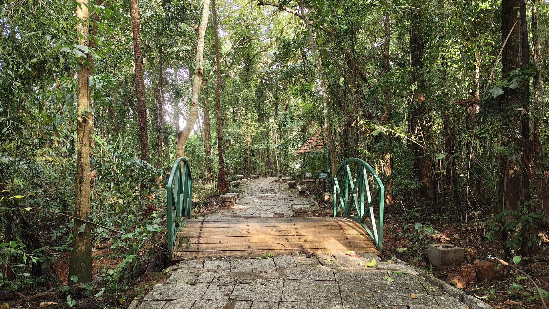
A 98-acre public eco-park on the Conolly Canal in central Kozhikode, the developed part of the Kottooli wetland — mature urban woodland and mangrove-fringed water, mid-renovation and partly not operating.

museumPazhassi Raja Museum

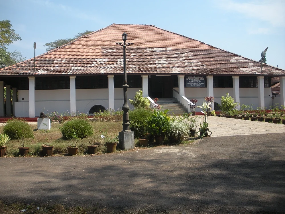
State archaeology museum at East Hill in an 1812 bungalow, with murals, bronzes, coins and megalithic monuments.

museumRegional Science Centre and Planetarium

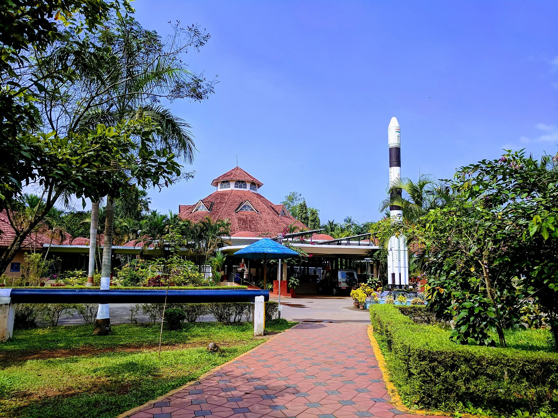
A National Council of Science Museums centre in central Kozhikode — five galleries, a 3D theatre and an outdoor science park. ⚠ Its planetarium has been closed for a projector replacement since 13 July 2026 with no announced reopening date.

templeThali Temple

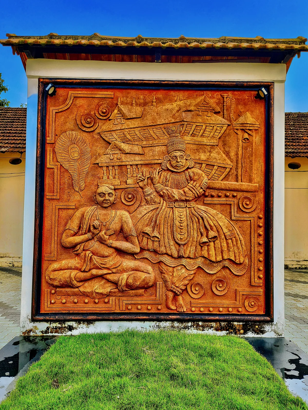
One of Kozhikode’s oldest temples, a laterite-and-timber Shiva shrine near Mananchira long patronised by the Zamorins.

heritageMananchira Square

Landmark park in the city centre on the old Zamorin palace grounds, around the Mananchira tank, with a musical fountain.

All 4 places to visit in Thusharagiri →

On the map

Where Arippara Waterfalls is

Good to know

Arippara Waterfalls — frequently asked

Are Aripara and Arippara the same waterfall?

Yes. Both spellings are used for the waterfall near the Thiruvambady–Anakkampoyil route in Kozhikode district.

Which river forms Arippara Waterfalls?

State and district tourism accounts identify the Iruvanji river, also called Iruvanjippuzha. The cascade system occupies a rocky stretch of that river landscape.

Can visitors walk through all eight levels?

The eight-level description does not establish a continuous open tourist route. Use only the viewing areas and bridge access permitted by the staff on the day.

What are the published Arippara ticket rates and hours?

DTPC Kozhikode lists adult entry at ₹10, children at ₹5, daily hours of 10 am–5 pm and offline booking. Temporary restrictions and the counter’s current directions take precedence.

Is swimming safe at Arippara Waterfalls?

Plan for viewing from the designated approach. Natural pools and calmer patches do not establish safe or supervised swimming, especially among polished rock and changing river flow.

Is Arippara the same as Thusharagiri?

No. They are separate waterfall destinations, with a road journey between them. Kerala Tourism’s Arippara account puts Thusharagiri roughly 12 km away.

Does the waterfall ticket include the hydroelectric project?

No such visitor access is established. The CIAL small hydroelectric project is separate working infrastructure; stay on the tourism approach.

Which bus and railway connections are useful?

DTPC identifies Aanakkampoyil bus stand as a nearby local connection and Kozhikode railway station as the rail gateway. Arrange the last road transfer to the waterfall’s visitor approach.

What does the name Arippara mean?

Kerala Tourism translates it as “rock of rice”. The place is indeed dominated by rocks of different sizes, but the translation does not establish a separate legend about grains becoming stone. The name belongs with the visible rocky river landscape.

Does Arippara’s hydropower project provide visitor tours?

The operator’s engineering account describes a working generating installation. It does not establish a public tour through the powerhouse, weir or water-conductor system. Use the waterfall visitor approach for sightseeing and respect the boundaries of the hydel works.

Read before you go

Arippara Waterfalls guides, stories & itineraries

Stories & history of Arippara Waterfalls

Written about Arippara Waterfalls itself — its history, its legends and the arguments about them.

Around Thusharagiri

These reads cover nearby destinations, each with its own arrival point and visit arrangements.

Kerala-wide guides & itineraries

Route-level itineraries and practical guides for the rest of Kerala.

See all 87 Kozhikode guides & stories →

Image credits

Photographs: DTPC Kozhikode (Official owner source; no Creative Commons licence asserted), Dvellakat (CC BY-SA 4.0), Ashok.tcr (CC BY-SA 3.0), Shijan Kaakkara (CC BY-SA 4.0), Nativeplants garden (CC BY-SA 4.0), Shagin sunny (CC BY-SA 4.0), Kerala Tourism (© Kerala Tourism; official source photograph), Razimantv (CC BY-SA 4.0), Ranjithsiji (CC BY-SA 4.0), Pradeep717 (CC BY-SA 3.0), Vengolis (CC BY-SA 3.0), Ms Sarah Welch (CC0), Prof tpms (CC BY-SA 4.0), Dvellakat / CC BY-SA 4.0, Ashok.tcr / CC BY-SA 3.0, Shijan Kaakkara / CC BY-SA 4.0, Sajith Erattupetta / CC BY 4.0, Vinayalambadi / CC BY-SA 4.0, Kerala Forest Department, Aranyam March 2025; article by Dr Jose Mathew; photographer not individually identified. / Official owner source; no Creative Commons licence asserted, Nativeplants garden / CC BY-SA 4.0 / Wikimedia Commons, Azeezrealview / CC BY-SA 4.0 / Wikimedia Commons, Koodathai Homestay (Official source photograph; credit retained), River Valley Resort (Official source photograph; credit retained), Karimb Resorts (Official source photograph; credit retained). Wikimedia Commons.