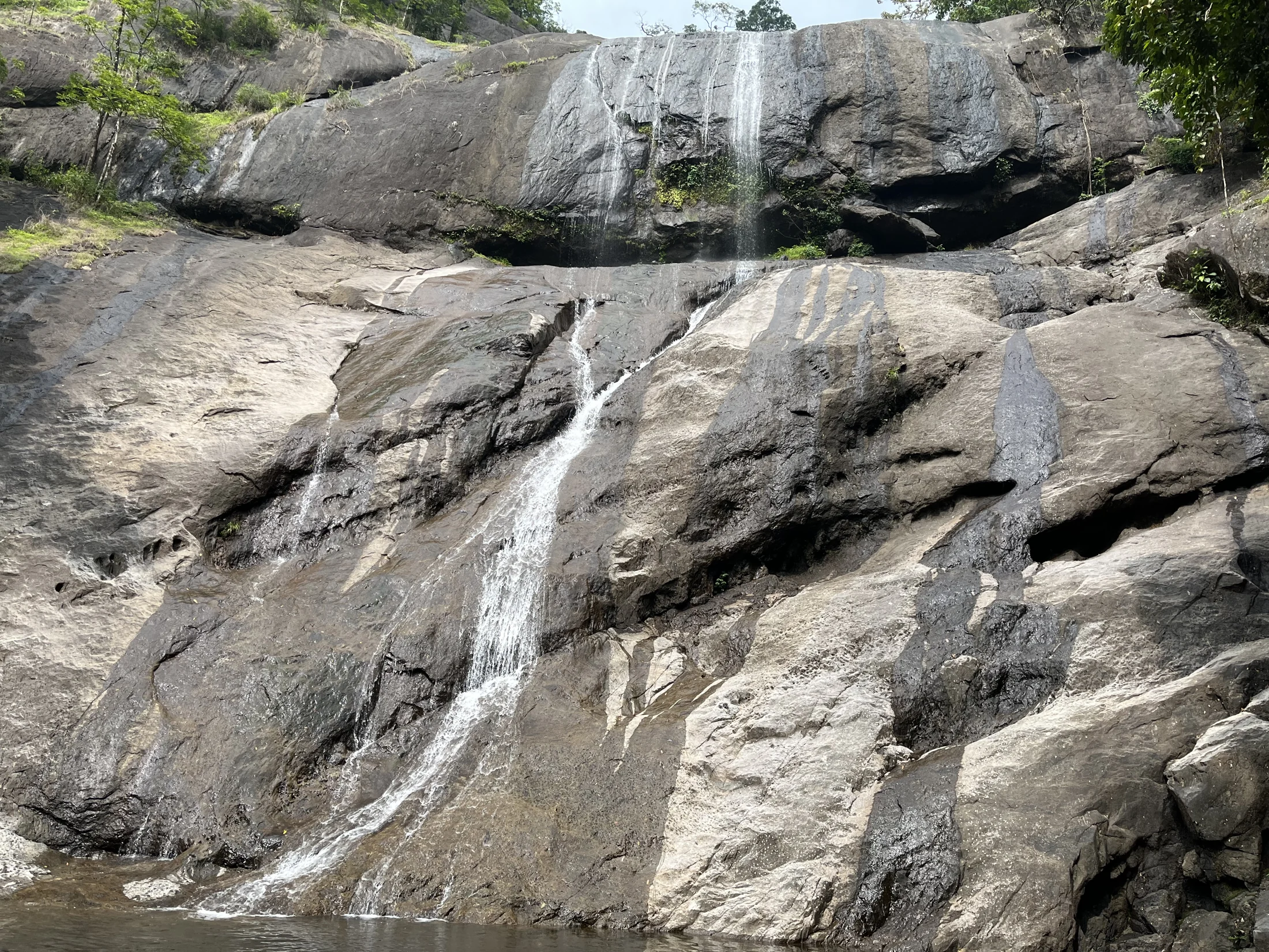
Arippara is as much a rock landscape as a waterfall. Water slips through narrow cuts, spreads over dark shelves and gathers in rounded hollows before moving on. The same river can present a broad white rush or a detailed arrangement of pools and stone, depending on its flow.
The story of Arippara Waterfalls
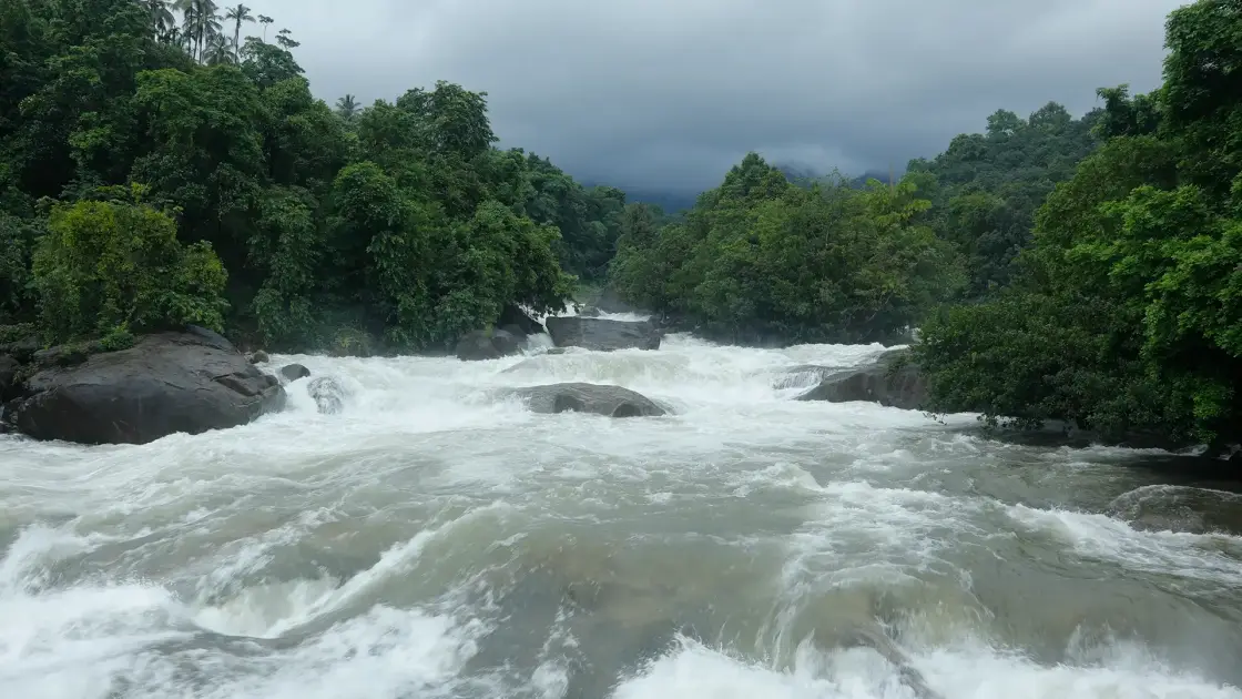
The first impression is often width. Instead of looking up towards a distant lip, the visitor looks across a river broken by substantial boulders. Some rocks divide the current into two channels; others sit within the foam, their upper surfaces momentarily exposed. The falls are part of a continuing river course rather than an isolated drop at the end of a path.
Kerala Tourism and DTPC describe an eight-level system and record names including Sullukallu, Vattakkuzhi, Nirannapara, Olichuchaattom, Shwasakkuzhi and Neelakkayathadaakam. The names reflect a landscape recognised in separate parts. They are not a checklist of swimming places or a promise that every level is accessible during one tourist visit.
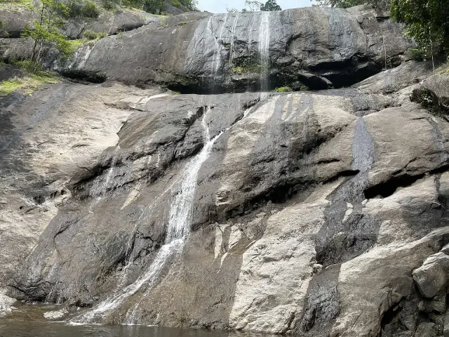
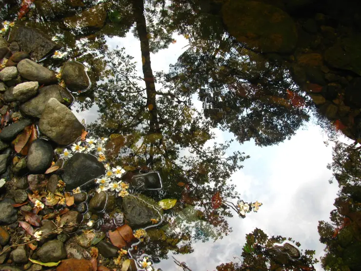
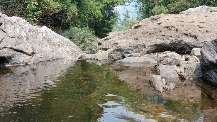
The rock hollows are particularly noticeable in lower-water photographs. Rounded depressions hold reflections, while narrow seams carry small runs of water between them. The smooth surfaces and abrupt changes of level give the exposed riverbed a complex shape. Observe these forms from the designated visitor ground without assuming that the dry-looking surface provides secure footing.
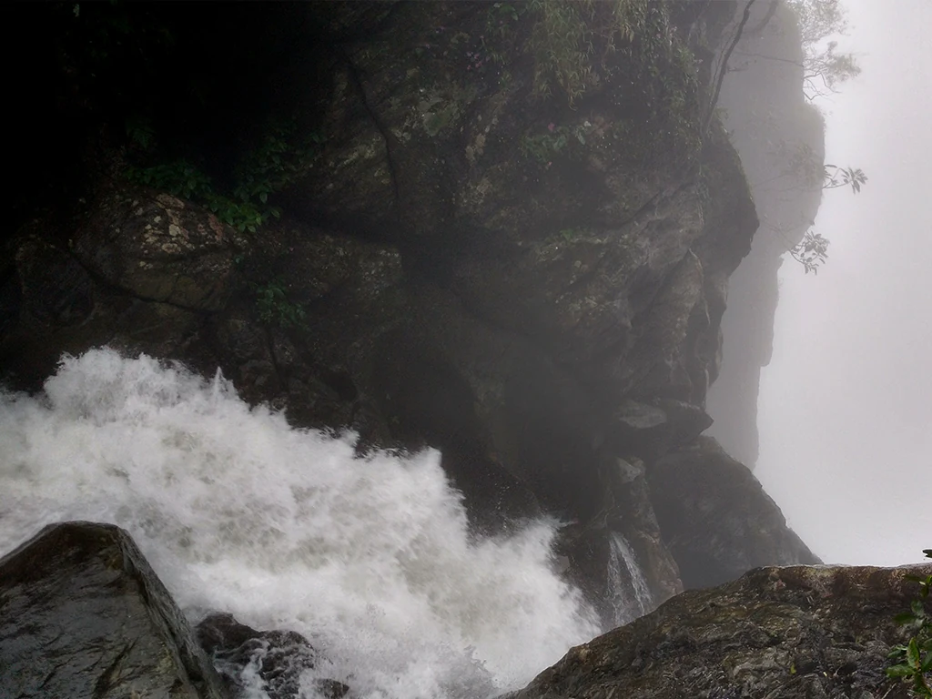
In stronger-flow images, much of that detail disappears. White water crosses the foreground and pours around the larger boulders, with the wooded banks forming a dark frame. Comparing the two views explains why a single photograph cannot represent Arippara throughout the year. Water changes the visible geography of the place as well as its sound and scale.
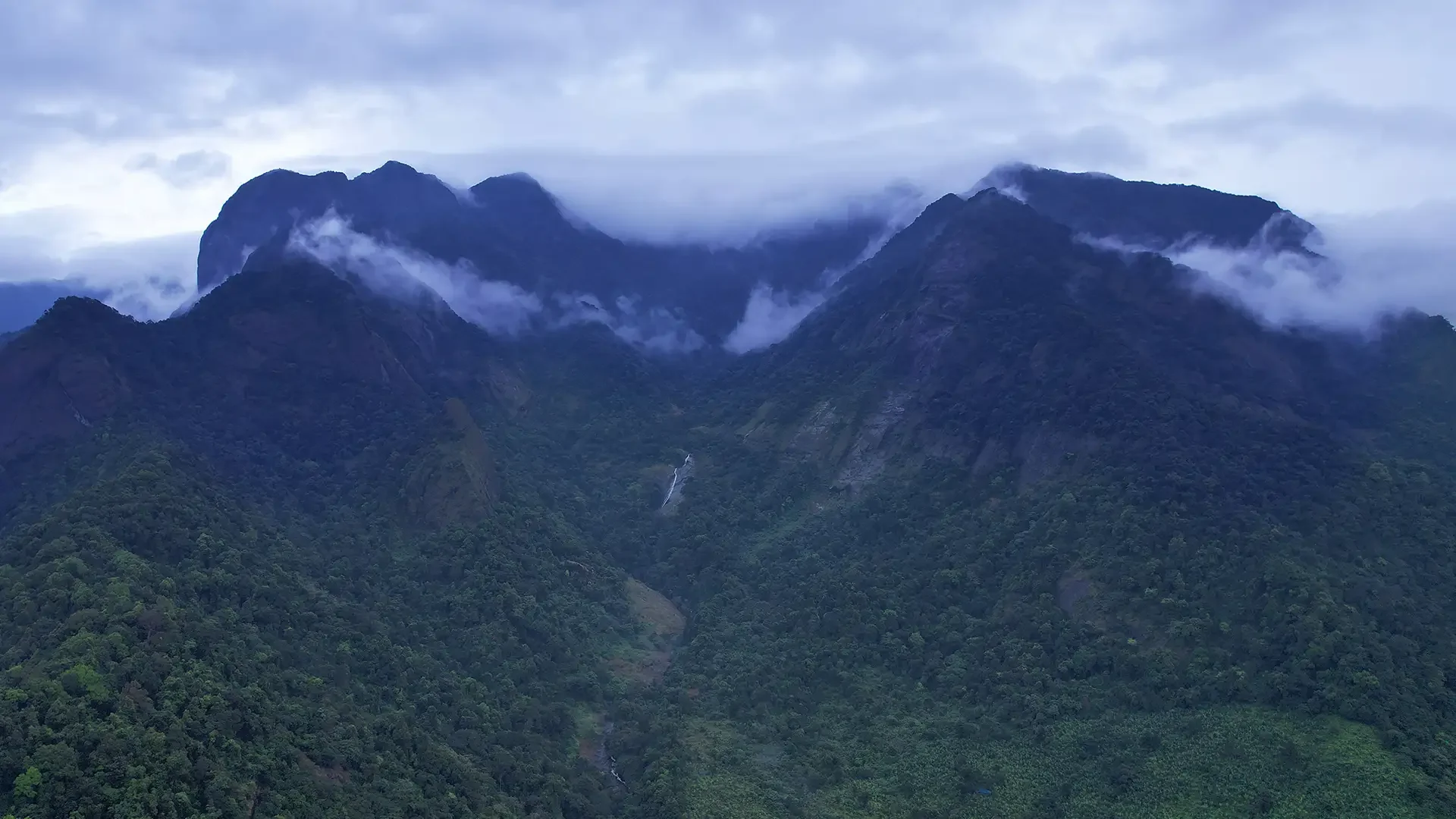
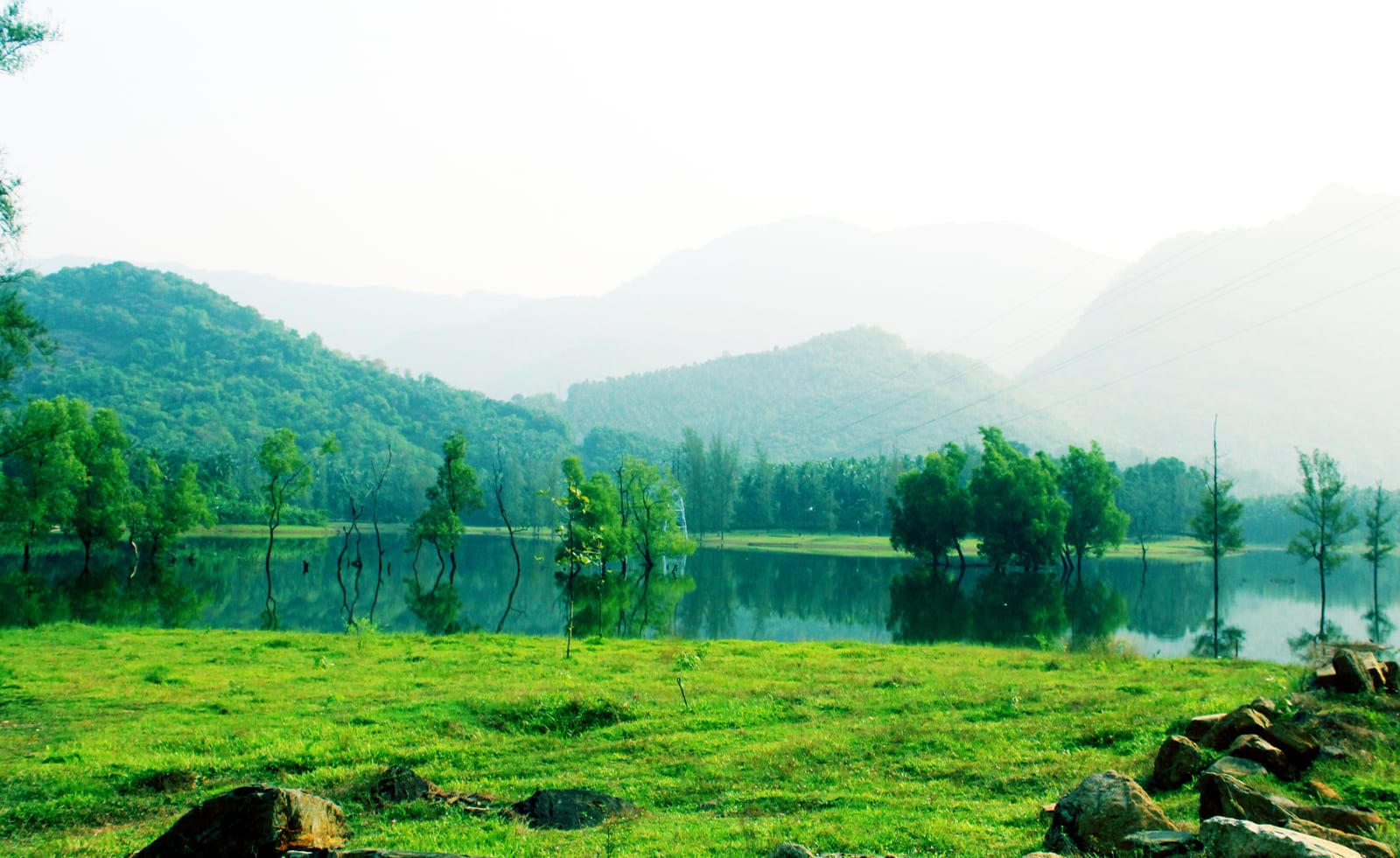
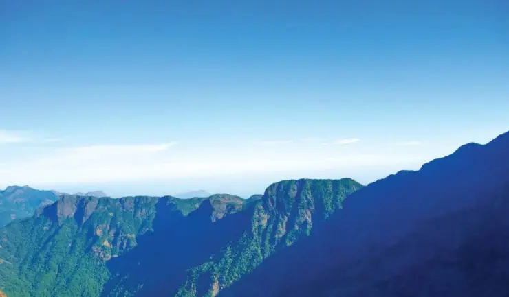
The river is identified as the Iruvanji in tourism accounts and as Iruvanjippuzha in wider local usage. Its landscape belongs to the inland slopes of Kozhikode, with Thiruvambady and Anakkampoyil providing useful settlement names for the journey. The beach and railway station at Kozhikode are the distant transport gateway, not the immediate setting of the falls.
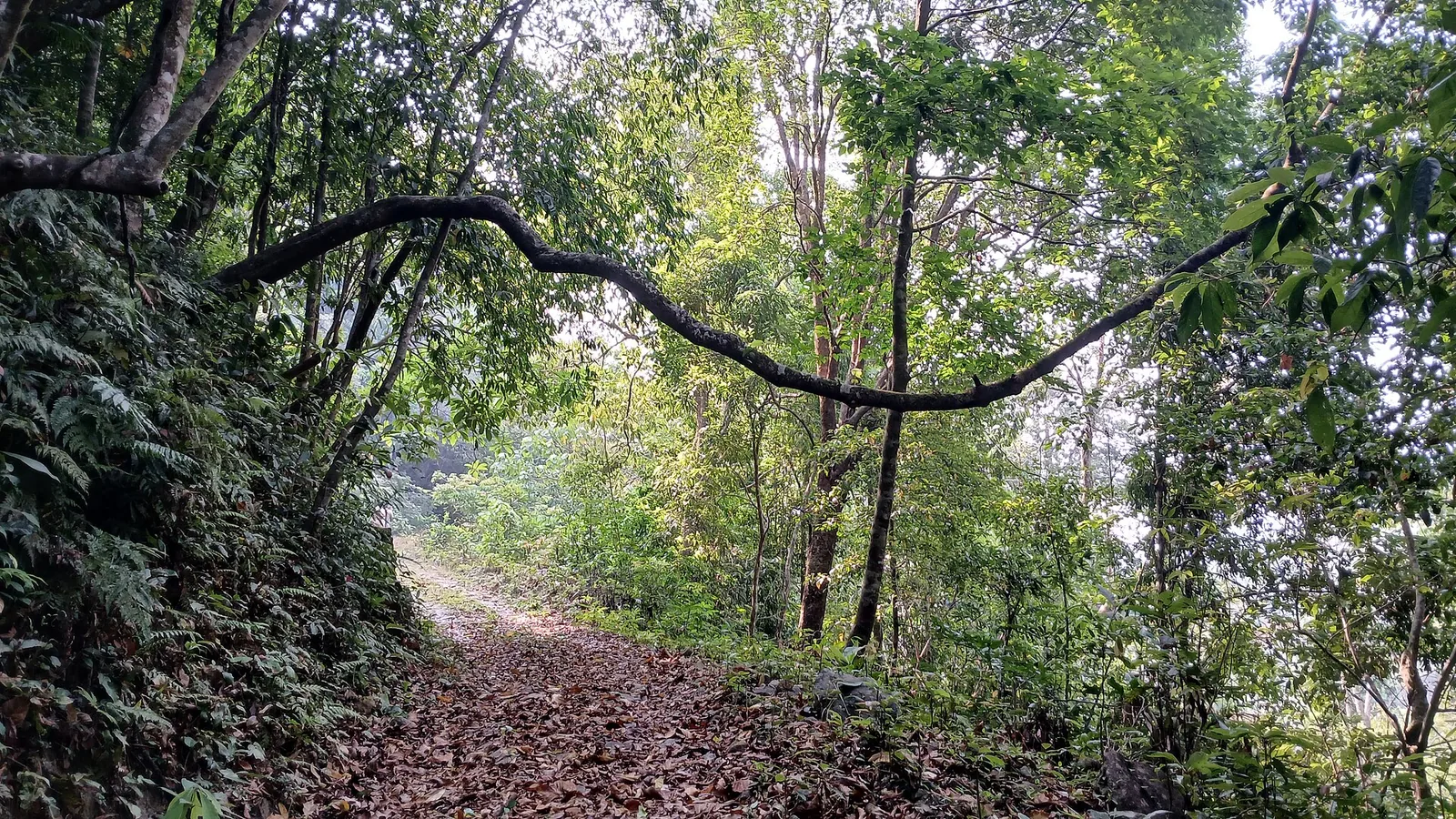
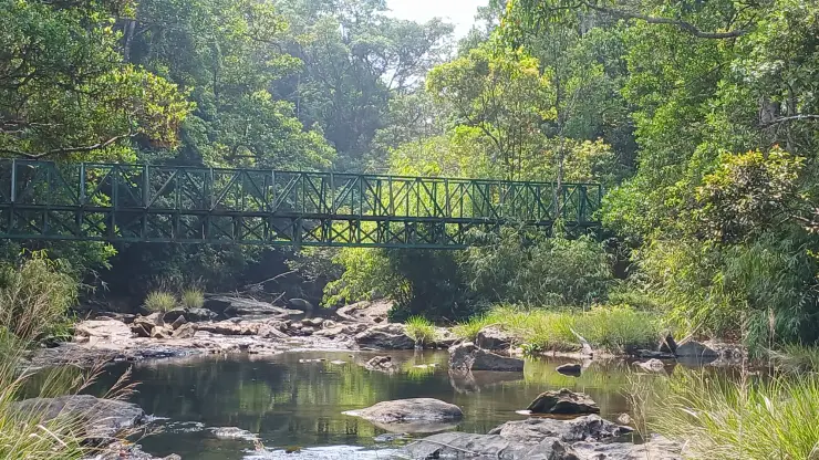
The banks carry dense greenery, including plants that hang over the water and boulders. This soft edge contrasts with the exposed channel. Looking along the bank can reveal how the river is enclosed by vegetation, while a view directly towards the current emphasises the force and branching movement of the water. Both are worth taking time to observe.
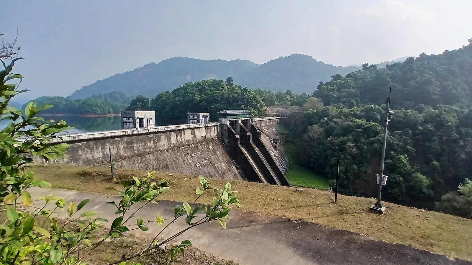
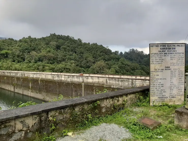
Arippara’s modern setting also includes hydropower. CIAL identifies a 4.5 MW project on the Iruvanjippuzha at Arippara, commissioned in 2021. The project is a working energy asset, distinct from the waterfall visitor area. Its existence is a reason to be precise about the approach road and access boundaries, not an invitation to explore its buildings.
Thusharagiri is a different destination within the same broad inland travel area. Kerala Tourism places it roughly 12 km from Arippara in its visitor account. A combined day requires two separate approaches and an assessment of conditions at each. Arippara’s broad rocky riverbed should not be described with the trail sequence or admission arrangements of Thusharagiri.
A rewarding visit can be quite focused. Watch one channel split around a rock, compare the still-looking surface behind a boulder with the moving water beside it, and then step back to see the whole river. These observations give the place depth without requiring a climb through the riverbed or a long catalogue of unverified activities.
The hydropower project adds a second way to understand this stretch of the Iruvanjippuzha. In its presentation hosted by the International Civil Aviation Organization, CIAL identifies Arippara as a run-of-river scheme with limited storage. Such a description concerns how the generating system uses the river. It does not turn the river into a constant-volume channel or establish that the visitor pools have predictable conditions throughout a day.
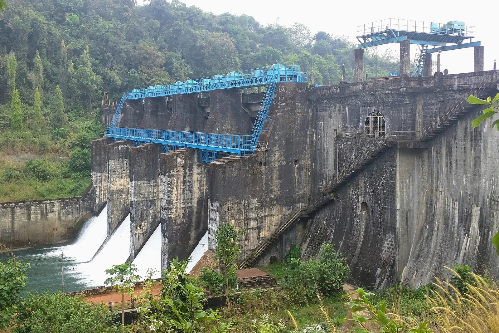
CIAL’s layout names an overflow weir and intake pool, a water-conductor system, a surge tank and a penstock before the powerhouse. These terms describe successive jobs. The intake admits water to the system; the conductor takes it towards the generating works; and the penstock carries it to the turbines. Understanding that sequence helps distinguish a photograph of a working project component from one of Arippara’s natural rock channels.
The powerhouse is described as being on the right bank, with two horizontal Francis turbines rated at 2.25 MW each. Together they account for the project’s 4.5 MW capacity. The operator records commissioning in November 2021, while CIAL Infrastructures’ annual report describes power evacuation at 33 kV. These are useful facts about the modern river landscape, but the public waterfall approach remains separate from the installation and its operating compound.
Waterfall names can be misleading when they suggest a single vertical drop. At Arippara, the named stages occupy a riverbed with changing widths and levels. A wide photograph shows several currents flowing at once around separate boulders. A close photograph may isolate only one slot and make it appear to be the whole waterfall. Begin by locating the opposite bank and the upstream direction; the smaller details then make more sense within the continuing river.
The exposed hollows illustrate how the rocks shape a visitor’s perception of depth. A still reflection can conceal the bottom, while a shallow run of clear water may reveal more of the surface beneath it. Colour and transparency alone cannot settle whether a pool is safe to enter. The useful observation is the relationship between the hollow and the active channel beside it, viewed from the permitted visitor position.
For photographers, the wooded banks provide a useful scale. A frame filled entirely with foam can make a short run look immense; including a boulder and the far-bank trees restores the proportions of the place. The photographs collected here deliberately show different water levels and angles. They are best read together as a record of a variable river landscape, rather than as competing promises about which view a visitor will find.
The local transfer deserves its own attention when arriving by public transport. DTPC names Aanakkampoyil bus stand as the nearby bus reference, while the major rail arrival remains Kozhikode. Those are two different stages of the journey. Establish the last road transfer and the return connection before leaving the bus stand, particularly if combining Arippara with Thusharagiri, whose entrance and operating arrangements are separate.
A group with mixed walking abilities can organise a shorter visit around the permitted viewing ground. Discuss the final approach before everyone leaves the vehicle, and choose a meeting point on the landward side. Someone waiting near the arrival area should not be expected to follow the group over the river rocks later. Arippara’s broad composition can be appreciated without making the visit depend on reaching each named stage.
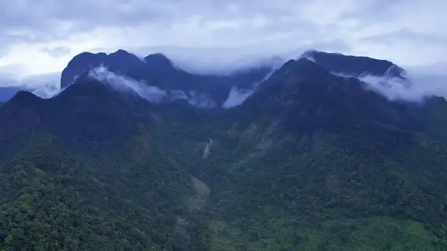
Arippara also sits within a larger watershed. The Centre for Water Resources Development and Management identifies the Iruvanhippuzha watershed within the Chaliyar River basin in its research programme. The waterfall is therefore one visible place along a connected drainage system. Rain falling beyond the visitor’s immediate view can matter to the river, which is why a clear sky over the rocks is not enough to judge conditions throughout the catchment.
Thinking at that basin scale adds something to a short visit. The boulders direct the water at close range, while the surrounding slopes supply the river over a much larger area. The wooded bank, the current and the engineered hydel installation each show a different relationship with that water. A visitor can understand those relationships from the permitted viewing ground without treating the riverbed as an exploratory walking route.
The river’s names also appear in several English forms: Iruvanji in the tourism description and Iruvanjippuzha or Iruvanhippuzha in wider institutional use. Keep the waterfall name and Anakkampoyil–Thiruvambady locality attached to a travel enquiry. That combination makes the destination clearer than searching for a river name alone, which can return places far from the visitor entrance.
Arippara's connection with an airport is an unusual part of its modern history. The hydel scheme belongs to CIAL Infrastructures, a subsidiary of Cochin International Airport Limited. Its 2021–22 annual report places the project within a renewable-energy business that also operated solar installations. The corporate connection reaches beyond Kozhikode's hill country, but the generating asset itself uses this particular river landscape. It is a useful example of how an inland waterfall locality can participate in a wider energy network.
The company's account also distinguishes generation from transmission. Water passing through turbines produces electricity at the station; electrical equipment then carries that output into the network. The report describes the voltage used for power evacuation as a measure intended to reduce transmission losses. That word, evacuation, refers to moving electricity away from the generating plant. It is not a visitor evacuation route or an instruction about water released from the scheme, two very different meanings that can otherwise confuse a quick reading of an engineering description.
Capacity and energy answer different questions in this setting. The project's megawatt rating describes generating capability, while energy accumulated over a period is counted in units such as kilowatt-hours. A photograph of strong water at the falls cannot establish the plant's output at that moment, and a corporate annual total covering several installations cannot be assigned entirely to Arippara. For a visitor, the relevant connection is the use of the river's changing level, understood separately from the particular amount of electricity recorded by the operator.
The scheme can also be compared with Perunthenaruvi in Pathanamthitta without merging their identities. Both are waterfall localities with small hydel projects, but they occupy different river basins and use separately described machinery and layouts. Arippara's operator identifies Francis turbines; KSEB's Perunthenaruvi planning document describes tubular turbine units. Those differences show why a general image of a dam or powerhouse cannot stand for either place. Each engineering story belongs to its own watercourse and installation.
For a family visit, this can become a simple sequence of questions after observing the natural channels: what makes the water move, where could a change in height be useful, and how would the resulting electricity leave the site? The answers can be discussed from the designated viewing ground. There is no need to approach a pipe, intake or working building to understand the principle. Arippara's interest lies in seeing a real river first, then relating its modern use to the landscape already in view.