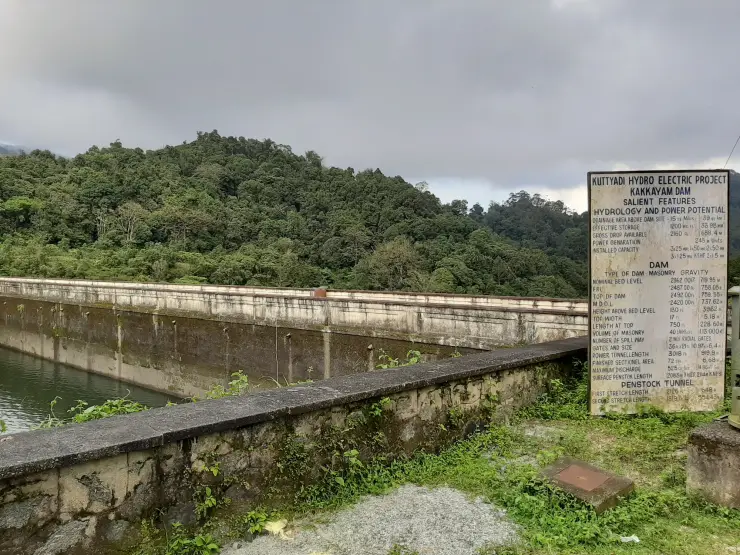
Tusharagiri Waterfalls

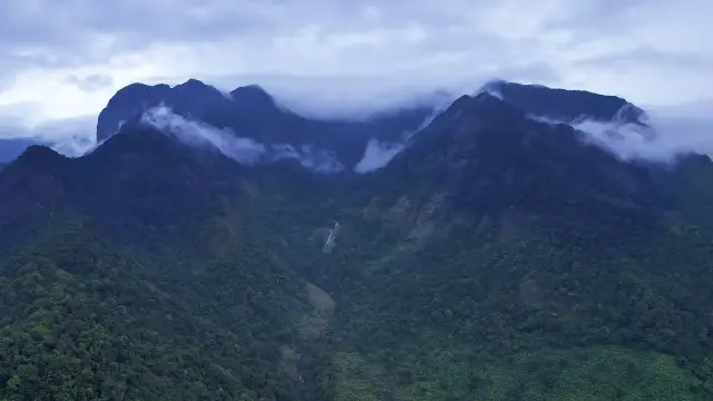
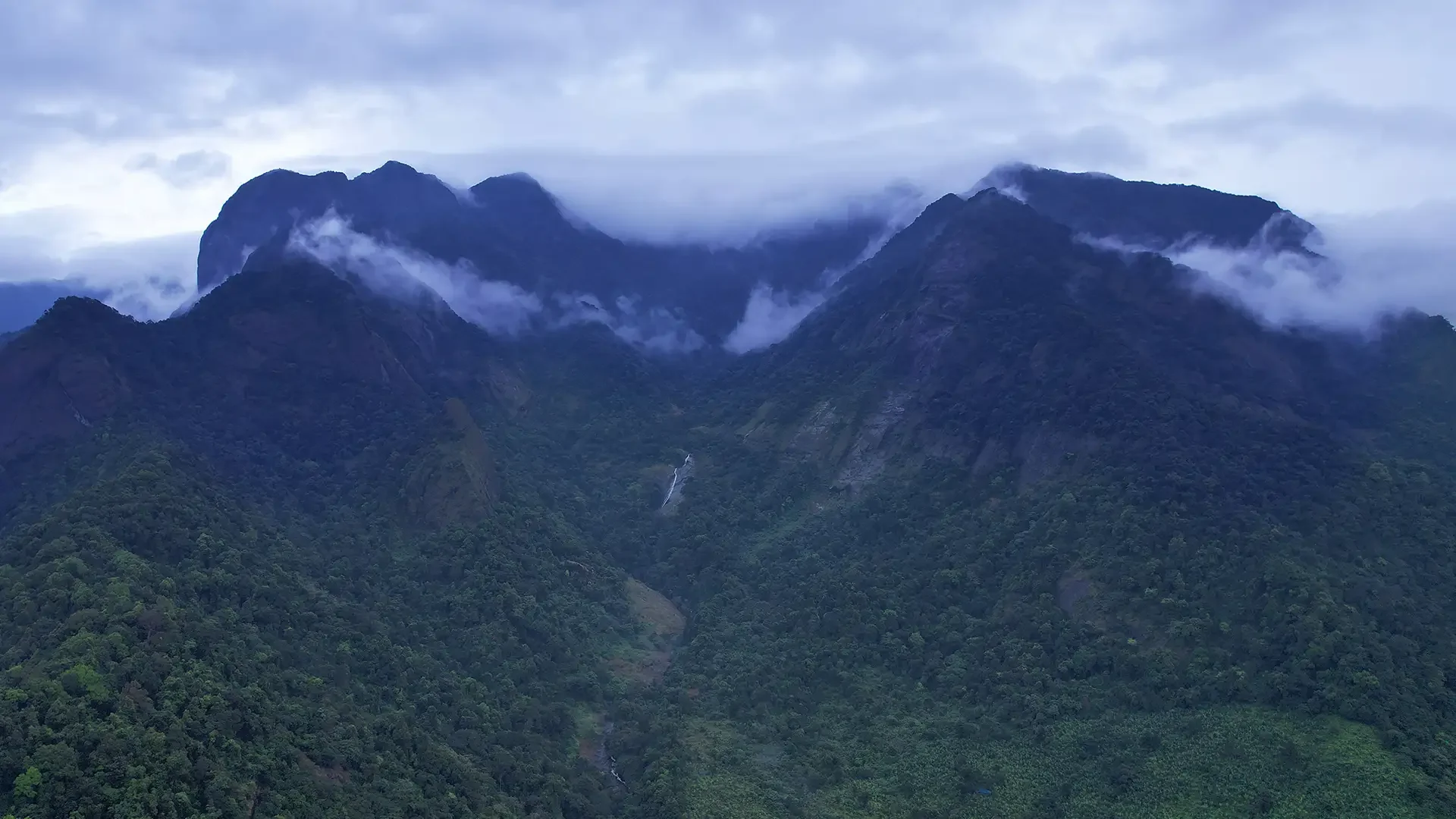
Tusharagiri Waterfalls is a Western Ghats foothill waterfall-and-trek area in Kozhikode district, where streams from the hills form the Chalippuzha river and a series of cascades. It is a nature page with trail, water-level and access questions, not just a single viewpoint card.

Tusharagiri Waterfalls, Thusharagiri
Practical guide

Plan Tusharagiri Waterfalls

Who's going?Tailor Tusharagiri Waterfalls to your trip
Typewaterfall
AreaThusharagiri
DistrictKozhikode
Best timePost-monsoon to winter is usually best…
Time needed2 to 4 hours for lower areas
EntryVaries — see below
Places to visit4Listed businesses9

Good guide copy should set the expectations clearly: lower falls access can be easier, deeper trekking needs fitness and local rules, and monsoon beauty comes with slippery paths, leeches and sudden water changes.

The story

A three-stage cascade on the Chalippuzha where the Western Ghats break down into Kozhikode’s rubber and spice country — a river worked as hard for power as it is for photographs.

The story of Tusharagiri Waterfalls

Tusharagiri Waterfalls is the visitor’s name for a stretch of the Chalippuzha river a few kilometres above the village of Chembukadavu, in Kodencheri panchayat, roughly 50 km east of Kozhikode city. The road out from the coast climbs steadily through Thamarassery and Kodencheri until the coconut belt thins and gives way to rubber, and the land begins to fold. The falls sit at the point where two hill streams off the Western Ghats have joined and the combined river starts down a long staircase of bare rock. The place is run as an eco-tourism centre by the Kerala Forest Department’s Kozhikode Division, with a ticketed entrance, a welcome hall and a marked path; it is not a wild spot you stumble upon, and it has not been one for about two decades.

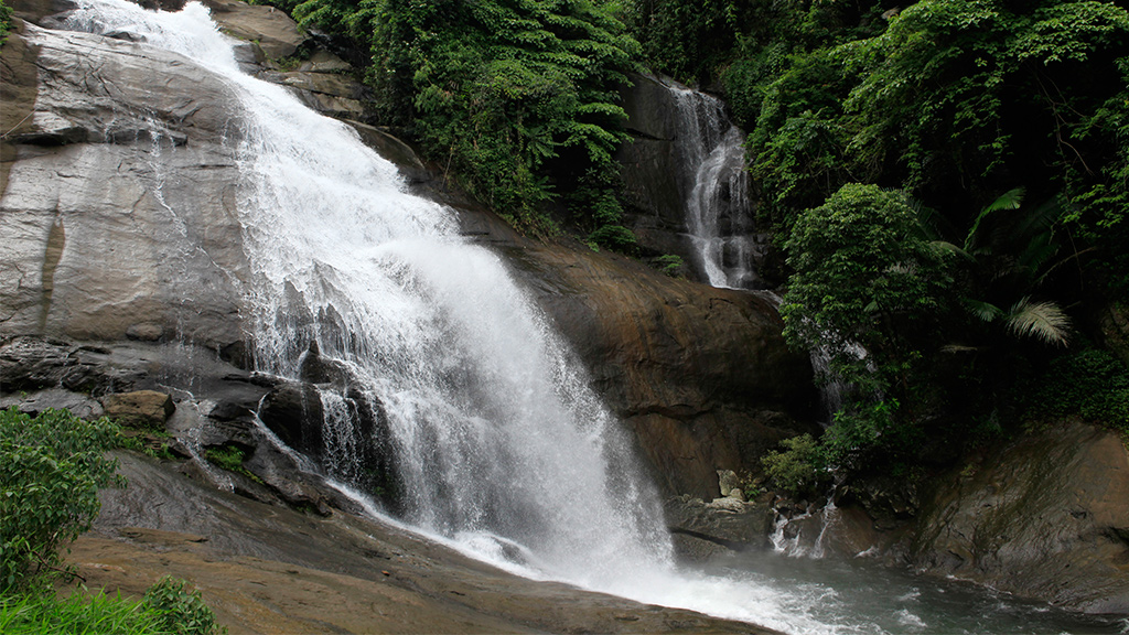
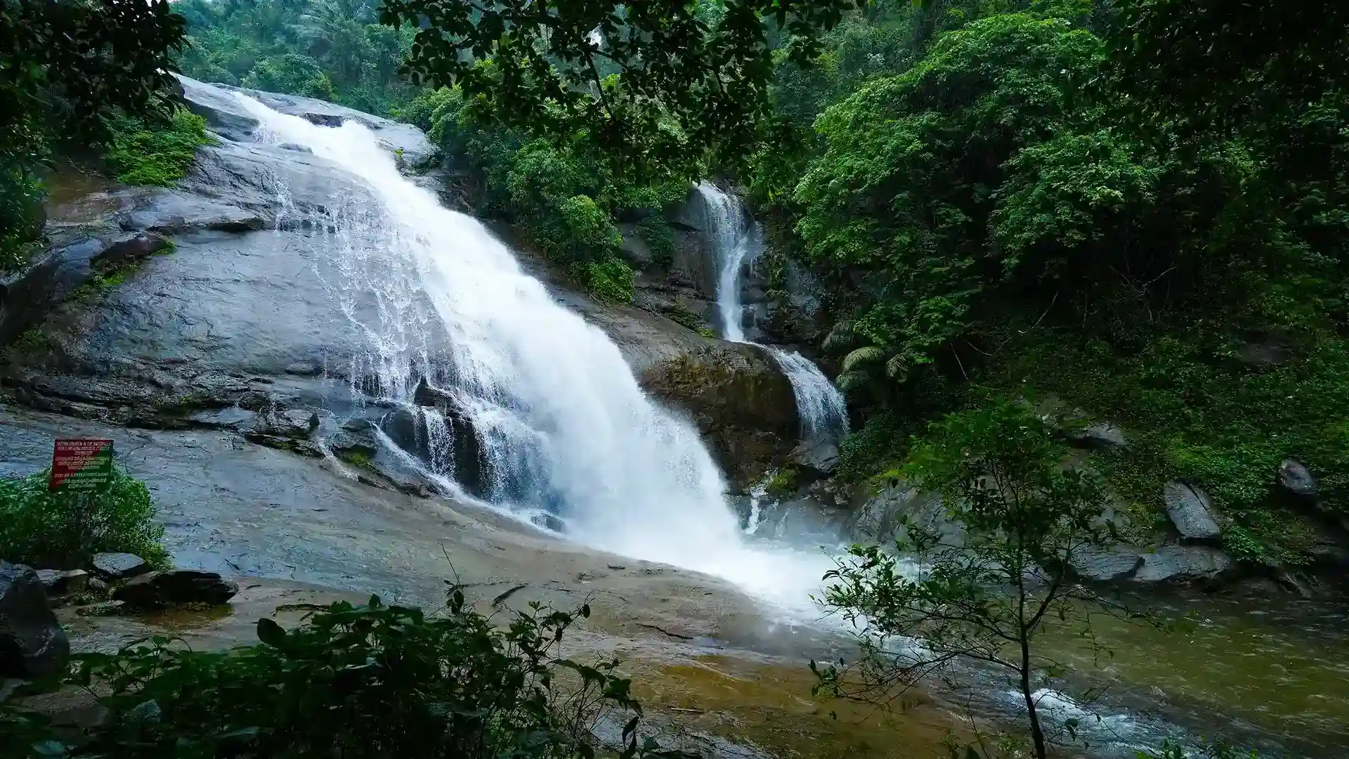
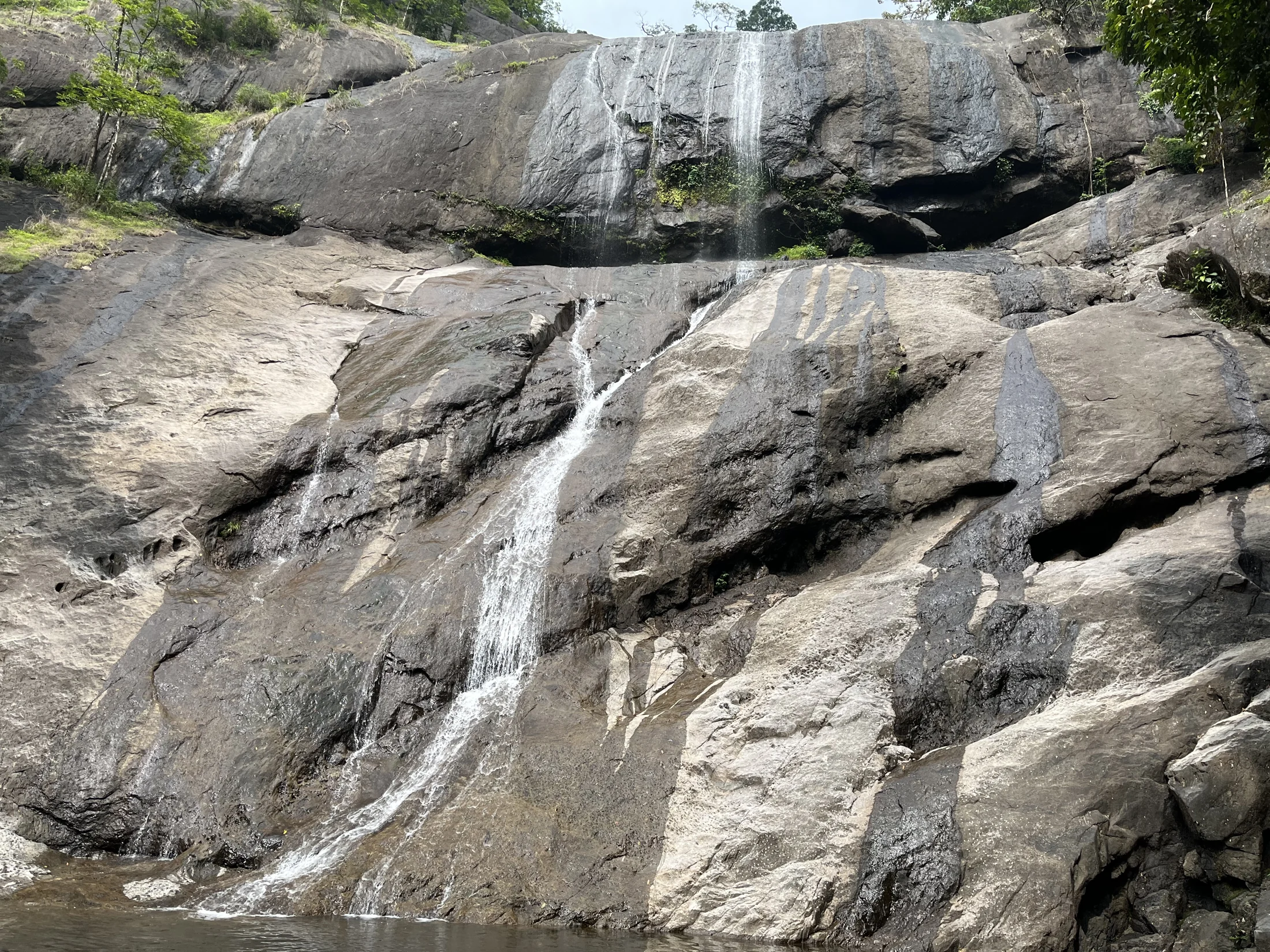
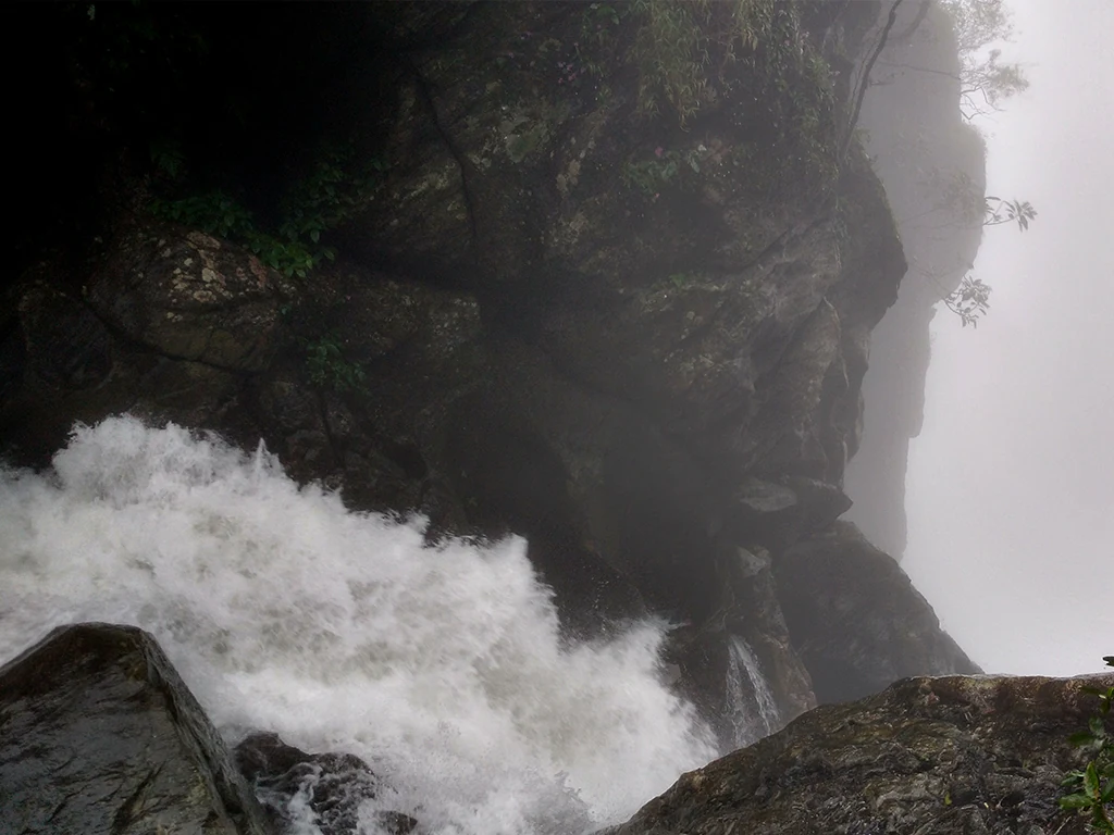
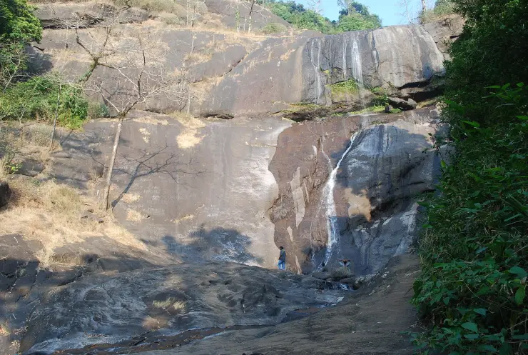
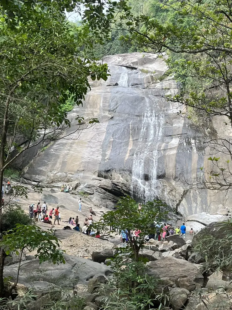
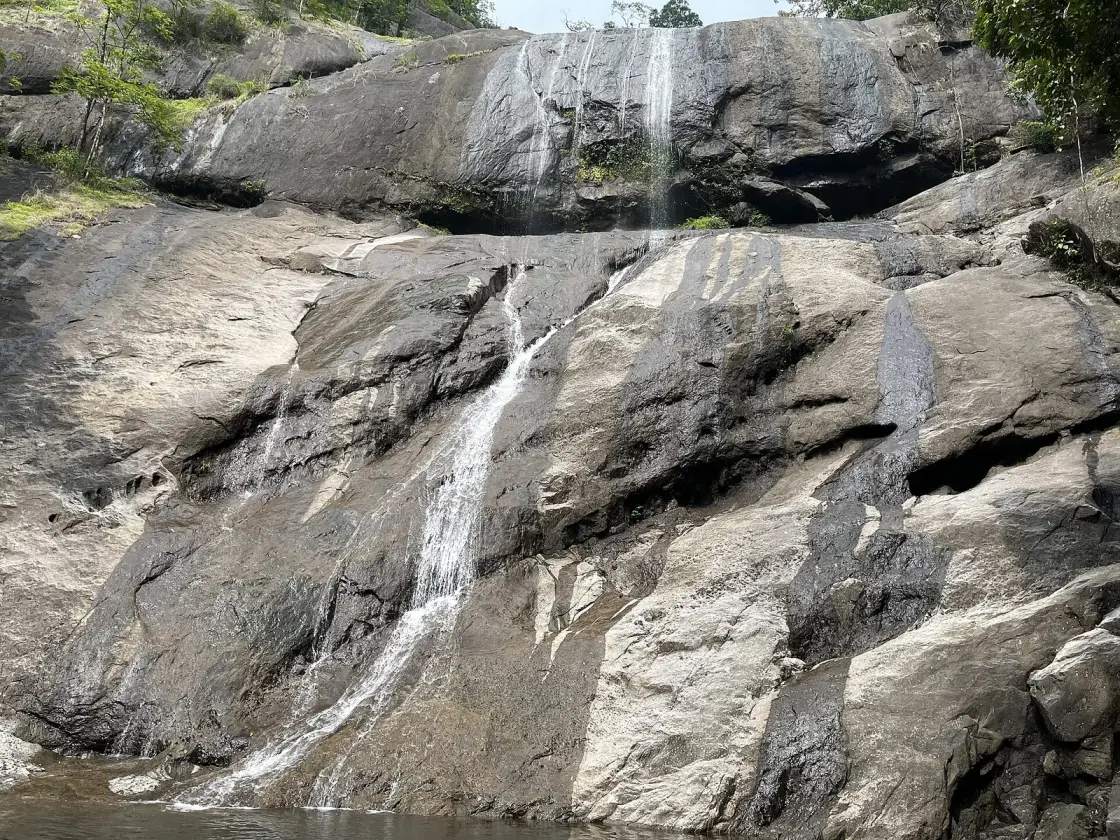
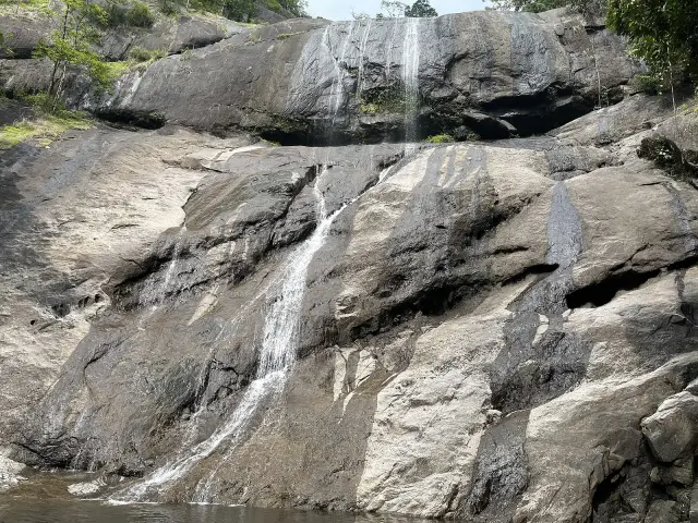
What most day-visitors actually see is the first fall, Erattumukku, which the site’s own signboard puts at a hundred metres from the gate. It is not a plunge but a broad grey apron of rock, tilted at something under forty-five degrees, down which the water spreads in threads and ribbons rather than a single column. In full flow the whole face runs white; in a dry March it can be reduced to two or three silver lines on an enormous slab. The rock is what people come for as much as the water — families spread out across it, children scramble on the lower ledges, and the pool at the foot fills with bathers on any warm holiday. It is a sociable, noisy, entirely public place, and worth knowing that before you arrive expecting a hidden cascade.

The second and third stages, Mazhavil Chattam and Thumbithullumpara, lie further up — the signboard gives 500 metres and one kilometre — and the walk to them is the business of a separate page. What matters for the destination itself is that the three are one river, not three unconnected falls, and that the character of the place changes completely between the bottom and the top. The lower fall is a picnic ground with a forest gate on it; a kilometre up, the noise falls away and you are in genuine evergreen forest with leeches in the wet months and langurs overhead. Most visitors never make the difference, which is why so many reviews of Tusharagiri contradict each other.

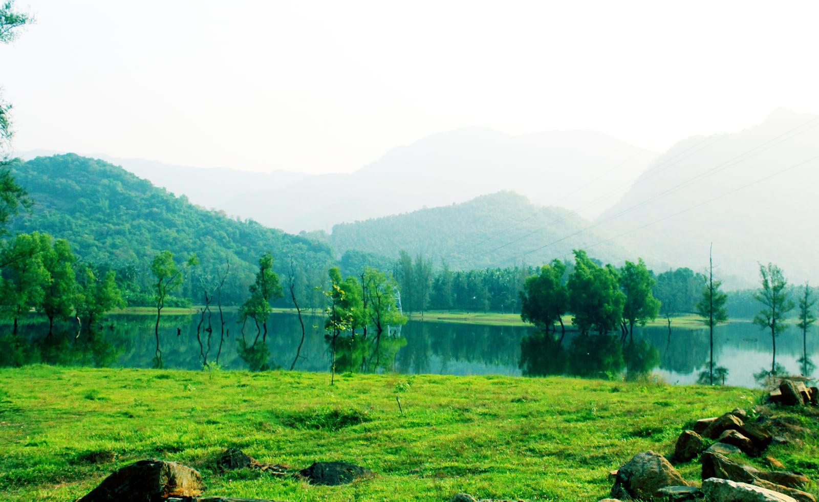
The setting is the other half of the appeal. The approach runs through smallholder plantation country — rubber above all, but also pepper trained up support trees, nutmeg, ginger, arecanut and cardamom, worked in plots of a few acres rather than estates. This is not accidental scenery. It is the landscape made by the Malabar migration of the 1940s and after, when Syrian Christian families from Travancore moved north into these forested hills and cleared them for cash crops, and the churches, the road pattern and the crop mix all date from that movement. Driving to the falls, you are driving through a piece of twentieth-century agrarian history that is barely eighty years old.

The Chalippuzha itself is worth attention. Below the falls it runs on to join the Iruvanjipuzha — also written Iruvazhinjipuzha — a few kilometres north of Thiruvambady, and the Iruvanji in turn joins the Chaliyar at Koolimadu near Cheruvadi, which carries the water down past Mukkam and out to the Arabian Sea at Beypore. The water you watch falling over the rock at Tusharagiri leaves the state through the same estuary where the uru dhows are built. On the way it is also worked: a small hydro weir sits on this river at Chembukadavu, and the visible flow at the falls is a river with a job as well as a view.

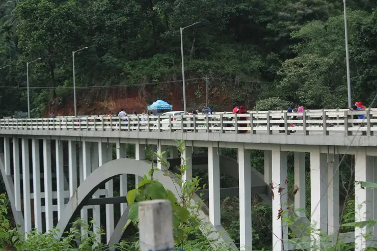
The landmark most people photograph on the way in is not a waterfall at all but the Thusharagiri bridge, a tall reinforced-concrete arch carrying the road over the Chalippuzha gorge — frequently described locally as one of the tallest arch bridges in Kerala (a local claim, not an official ranking). It is also a working link towards Wayanad, and it is about to matter a great deal more: the Anakkampoyil–Kalladi–Meppadi twin-tube tunnel, under construction on State Highway 83 a short way south, is intended to connect Kozhikode district to Wayanad without climbing the Thamarassery ghat. If it opens as planned later this decade, the traffic profile of this whole valley changes.

Practically, Tusharagiri rewards a half-day and punishes a lazy one. The eco-tourism gate has published hours of roughly 8am to 4pm and modest per-head charges — around ₹30 for an Indian adult, ₹15 for students and ₹50 for foreign nationals at the last figures Kerala Tourism listed. Go early, both for parking and for light. Wear shoes that grip on wet granite, because the rock is the single most dangerous thing here and it is slipperiest exactly where it looks safest. And check the weather in the hills above you, not the weather where you are standing — the reason is in the next section.

Legend & myth

Almost every account of this place opens by telling you that Thusharagiri means snow-capped mountain, from the Sanskrit tushara and giri, and that the name was earned by the snowy look of the spray. Nothing in this valley has ever been snow-capped. It sits at a few hundred metres in the Western Ghats foothills, about eleven and a half degrees north, in a district whose coldest recorded conditions are merely pleasant. The gloss is not wrong as a translation. It is simply not evidence of anything about the place.

The word does more work than the translation admits. Tushara in Sanskrit covers frost, snow, dew, mist and fine spray. Read as dew or mist, the name describes exactly what a monsoon visitor sees: a cold haze standing in the gorge below the fall. Kerala Tourism appears to know this, because its own website publishes both readings. One of its destination pages glosses the name as snow-capped mountains; another, on the same site, glosses it as mist-capped peak. Both are live, neither cites the other, and the difference between them is the whole question.

The harder question is whether Thusharagiri is a local name at all. The administrative and postal names here are Malayalam and older: Kodencheri, the panchayat; Chembukadavu, the village on the river; Thiruvambady and Anakkampoyil next door. Thusharagiri is Sanskrit, and it names a tourist destination rather than a settlement — Kerala Tourism’s own 2007 news bulletin, announcing a second-phase development package, describes inaugurating the renovated Chembukadavu–Thusharagiri road, a road named as running between the village and the attraction. We could not find the name attested anywhere before the site’s tourism development, and we could not find a source that dates its coinage either. The honest statement is that it looks like a Sanskritised destination name of the tourism era, and that no source we could check demonstrates otherwise.

Then there is the arithmetic. There are three falls. There are four names in circulation for them. The Kerala Forest Department, which actually operates the site, names them Erattumukku, Mazhavil Chattam and Thumbithullumpara — as does the Malayalam Wikipedia article, and as does the painted board at the entrance. English Wikipedia instead names the tallest as Thenpara and drops Thumbithullumpara entirely. And Kerala Tourism manages to publish both versions: one of its pages lists Erattumukku, Thenpara and Mazhavil Chattom, while the other lists Erattumukku, Mazhavil Chattom and Thumbithullum Para. This is the same state tourism department disagreeing with itself about which three waterfalls it is describing.

The number attached to those names is worse. The figure everyone repeats is 75 metres for the tallest fall. English Wikipedia attaches it to Thenpara. Kerala Tourism attaches it, on two separate pages, to Erattumukku. Neither cites a survey, a topographic sheet, or any measurement at all, and we could find no source that does. The two claims cannot both be right, and there is no published basis for either. Treat 75 metres as an unsourced number that has been copied between websites, not as a measurement.

The site’s own signage is the clearest evidence, and it says something different again. The painted welcome board at the entrance — photographed in May 2022 and freely licensed, so anyone can check it — lists Erattumukku Waterfall as the first waterfall at 100 metres, Mazhavil Chattam as the second at 500 metres, Thumbithullumpara as the third at 1 kilometre, and the old Thanni tree at 150 metres. Those are walking distances from the gate, not heights. The people who run Tusharagiri publish no heights for its waterfalls at all.

One more claim needs retiring: that the falls never dry up. Guidebook copy repeats it constantly. In May 2024 Kerala’s press reported the falls dry, tourist arrivals down by roughly two thousand on the previous April, and visitors turned away by a rock face with nothing on it. The Chalippuzha is also a working river — a 2.7 MW run-of-river diversion weir at Chembukadavu has been drawing on it since 2003 under the Kuttiady Augmentation Scheme — so what reaches the rock is a managed flow in a warming catchment. Post-monsoon, roughly September to December, is when the fall is reliably a fall.

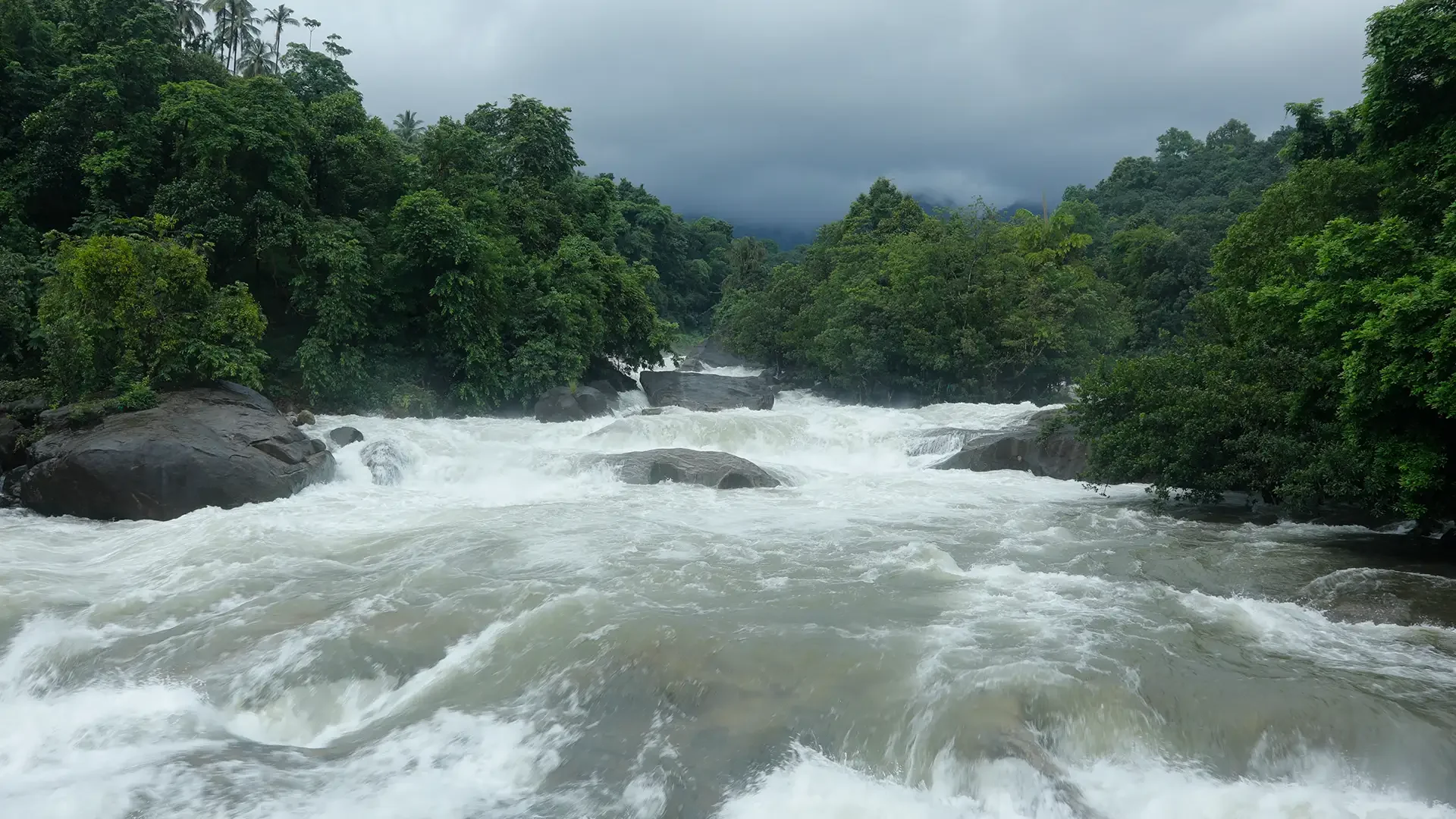
The genuinely useful safety point is not the one the signs make. There is no documented drowning at Tusharagiri itself that we could verify from this stretch of the river, and we will not invent one. What is documented is worse in a way, because it is unpredictable: on the afternoon of 13 May 2025 a flash flood came down the Chalippuzha at Chembukadavu with almost no rain falling locally — the water arrived from the hills above. No one was hurt that day. During red and orange weather alerts, Kerala Tourism closes tourist spots district-wide until the warning lifts, and prohibitory orders under Section 163 of the BNSS carry prosecution, not a fine. If the sky above the ridge is dark and the sky over your head is not, that is the moment to get off the rock.

Read the full history of Tusharagiri Waterfalls 754 more words

History

The oldest thing here is the rock. The Chalippuzha at this point runs over the same charnockite-and-gneiss basement that forms the western scarp of the Western Ghats all along Malabar, and the falls exist because the river crosses a series of resistant benches in that basement rather than because of any single cliff. That is why the profile is a staircase of sloping aprons rather than a free-standing plunge, and why the three named falls are stages of one river, spaced along about a kilometre of its course, rather than three separate cataracts.

Human settlement in these hills is far more recent than the coastal history a visitor may have come from. Until the twentieth century this was forest and forest-edge country on the fringe of the Kozhikode taluk, thinly populated and worked mainly for timber and minor forest produce. The transformation came with the Malabar migration: from 1942 onwards, Syrian Christian families from Kottayam, Pala and the wider Travancore region moved north into the Malabar highlands in search of land their heirs could inherit, land in the south having become both scarce and expensive.

The first party into neighbouring Thiruvambady in 1942 is recorded locally as three lawyers from Kottayam district — Joseph Vakeel, K. C. Ninan and Shouryar Mathan (as recounted in local histories). A church followed in 1944 and a school in 1947, and the same sequence repeated across Kodencheri, Koodaranji and Pulloorampara. Within a generation the forest edge had become a mosaic of smallholdings under rubber, pepper, nutmeg, ginger and arecanut, and this belt is now among the major rubber-producing parts of Kozhikode district. Every plantation you drive past on the way to the falls is a product of that movement.

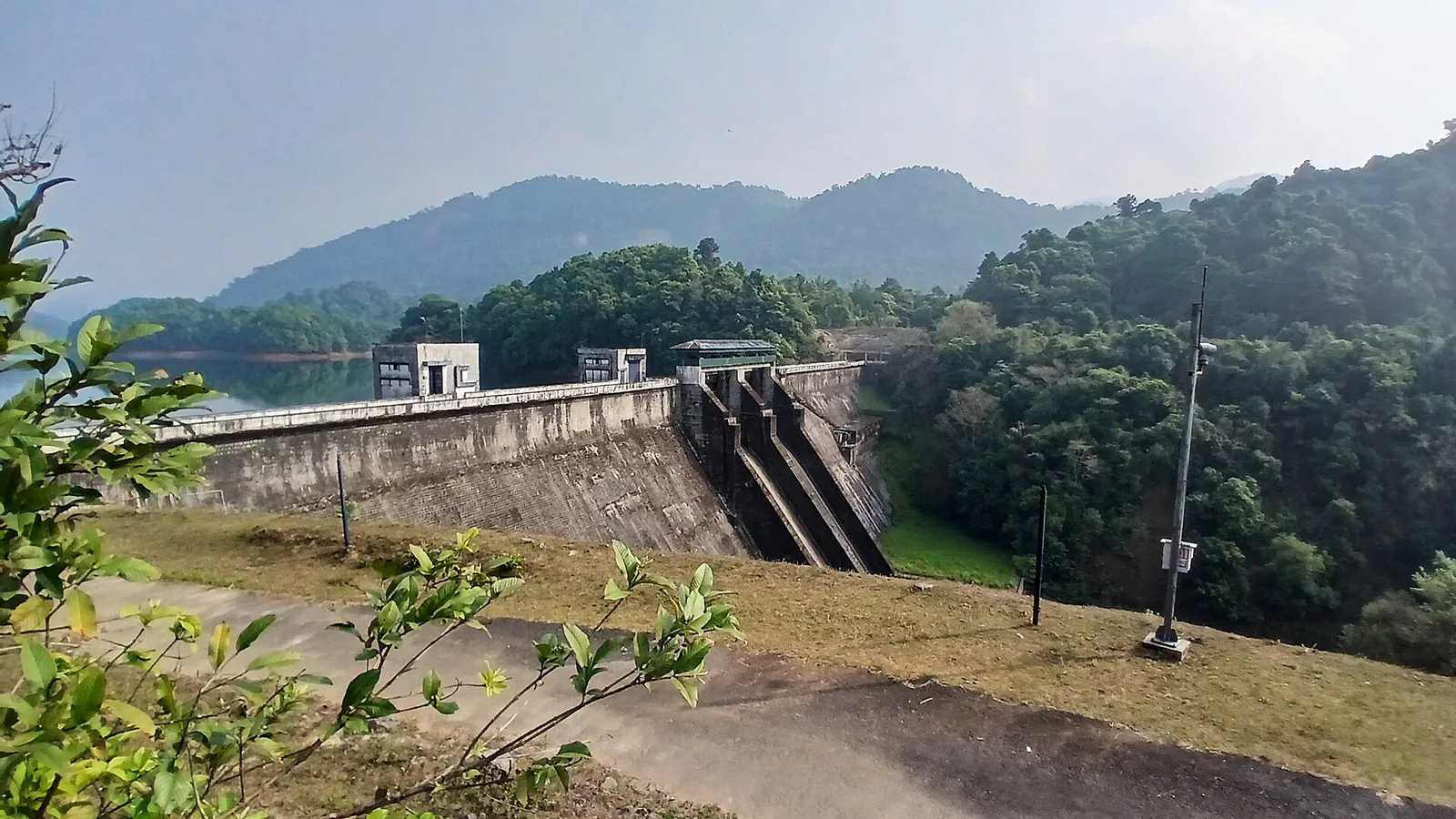
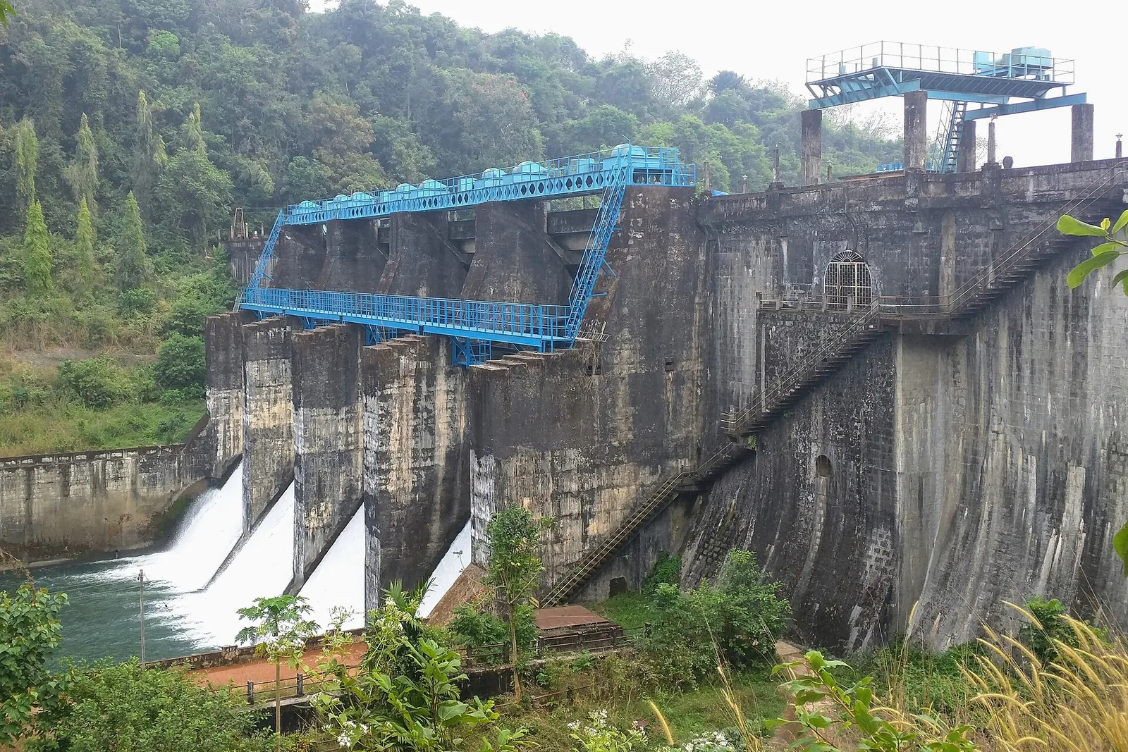
The river was industrialised before it was marketed. The Chembukkadavu weir on the Chalippuzha was commissioned in 2003 — a trench-type diversion structure with no spillway and no reservoir, feeding three turbines for about 2.7 MW and roughly 6.59 GWh a year, operated by the Kerala State Electricity Board as part of the Kuttiady Augmentation Scheme. Water leaving that power station is then used again downstream at Chembukadavu II. The Chembukadavu project is described as the first of a string of small hydroelectric schemes developed by the KSEB with an overseas partner (that framing comes from a single secondary source and we could not independently confirm it).

Organised tourism arrived immediately afterwards. The Forest Department’s eco-tourism operation at Thusharagiri was reported in 2024 as having run for nineteen years, which places its start around 2005. On 1 February 2007 the then tourism minister, Kodiyeri Balakrishnan, inaugurated a Tourism Corridor, a Tourism Amenity Centre and the renovated Chembukadavu–Thusharagiri road, and announced a second development phase valued at ₹8 crore, following a first phase of ₹85 lakh, with four panchayats — Kodancherry, Puthuppadi, Thiruvambadi and Koodaranji — named as beneficiaries. The ticketed gate, the welcome hall and the marked trail all belong to this period, not to any older tradition of visiting.

The most recent chapter is infrastructure again, and it is unfinished. A new bridge across the Chalippuzha at Chembukadavu stood closed through 2025 because its approach road remained incomplete, with residents pressing for the work to finish before the monsoon after repeated water breaches at the old crossing the previous year. A few kilometres south at Anakkampoyil, the twin-tube Anakkampoyil–Kalladi–Meppadi tunnel on State Highway 83 began construction in 2025 with a target of 2029; it is intended to cut the Anakkampoyil–Meppadi distance from about 42 km to under 20 and to link Kozhikode to Wayanad without the Thamarassery ghat. The valley that has spent eighty years being cleared, dammed and ticketed is now being tunnelled.

Why visit

See the first fall, Erattumukku, a hundred metres from the gate — a vast tilted apron of grey rock rather than the vertical plunge the brochures imply.

Come between September and December, when the post-monsoon Chalippuzha actually fills the rock face; the claim that these falls never dry up is false.

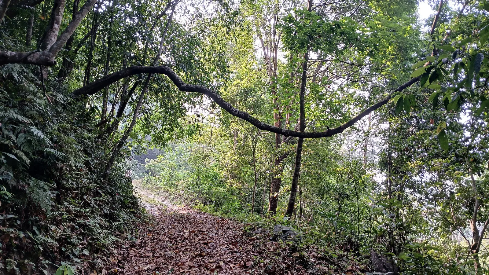
Walk the approach through smallholder rubber, pepper, nutmeg and ginger — a landscape made in living memory by the 1940s Malabar migration.

Stand on the tall concrete arch of the Thusharagiri bridge over the Chalippuzha gorge, the valley’s real landmark and its link towards Wayanad.

Read the entrance signboard for yourself: it lists three falls at 100 m, 500 m and 1 km — distances, not heights, and no heights at all.

Catch the mootipuli in fruit in early July, when Baccaurea courtallensis hangs red clusters straight off its trunks along the paths.
What to expect

Highlights

  • Foothill waterfall system east of Kozhikode with multiple cascades and forested trails.
  • Pairs with Kodenchery, Wayanad ghat routes, plantation stays and Kozhikode city food stops.
  • Local services run to drivers, trekking guides, homestays, food stops and nature operators.
Getting there

How to visit

  • Base in Kozhikode city, Kodenchery or a nearby plantation/homestay depending on how early you want to start.
  • Check current access, guide requirements and trail condition before promising upper-falls trekking.
  • Wear proper shoes and keep a dry bag for phones during waterfall spray or rain.

Distance by road

  • Coimbatore180 km
  • Kochi182 km
  • Mysuru209 km
  • Mangaluru233 km
  • Bengaluru349 km

Road km to Kozhikode; ghat roads and traffic vary — allow extra.

Timing

Best time

Post-monsoon to winter is usually best for flow and safer access. Heavy monsoon rain can make trails risky.

Weather in Tusharagiri WaterfallsSeasonal guide

Live forecast loads in your browser.

Today at Tusharagiri Waterfalls
Sunrise6:15 am
Sunset6:24 pm
Golden hour best light5:24 pm–6:24 pm
Blue hour after sunset6:24 pm–6:49 pm
Sun sets toward compass bearingW · 271°
Moon tonight🌔 Waxing gibbous · 66%
South-west monsoon. June to September brings heavy rain to Kerala. Trails, falls and ghat roads can be slippery, swollen or closed at short notice, and forest departments sometimes suspend access. Check locally on the day before you travel.

Check the official alert before you travel. Kerala’s beaches, waterfalls and trekking routes close at short notice during heavy rain, and district alert levels change day to day. We do not publish an alert level of our own — read it from the state authority: Kerala State Disaster Management Authority, or the district control room on 1077.

Sun and moon are calculated for this location and shown in IST. Photography windows are the hour around sunrise and sunset; the sunset bearing is degrees clockwise from true north. Moon phase is accurate to about half a day.

Visitor notes

  • Facilities are limited compared with city attractions.
  • The visit may not suit mobility-limited travellers during wet conditions.
  • Ask which village the pickup is actually from. "Tusharagiri" on its own does not tell you.
Safety

Good to know

  • Do not enter strong currents or closed pools.
  • Avoid upper trails during heavy rain, lightning or low visibility.
  • Stay on permitted routes and follow guide/local instructions.
Official eco & forest programmes

Experiences around Tusharagiri Waterfalls

These are official or public-sector eco offerings that match this place, town or forest destination. Confirm availability, permits, tariffs and reporting times with the official operator before travel.

Thusharagiri Waterfalls, Tusharagiri Waterfalls
waterfalltrekwildlife

Thusharagiri waterfalls and trek

Foothill waterfall and trekking destination east of Kozhikode, listed in Kerala Tourism’s ecotourism inventory.

Kerala Forest Department / local tourism authorities
Official source →
Vellarimala, Tusharagiri Waterfalls
trekcampingwildlife

Vellarimala trek

Western Ghats trek landscape linked with the Thusharagiri/Vellarimala side of Kozhikode; access depends on forest permissions.

Kerala Forest Department
Official source →
Stay · eat · do · rent · see · shop

Stays, food & things to do near Tusharagiri Waterfalls

Verified hotels, homestays, restaurants, experiences, sights, shops and rentals around Tusharagiri Waterfalls — commission-free, with direct contact. Filter by what you need.

2 things to do near Tusharagiri Waterfalls

Thusharagiri Waterfall Forest Ecotourism — Visitor information in Thusharagiri
Verified
Visitor information · Thusharagiri
Thusharagiri Waterfall Forest Ecotourism

Kerala Forest Ecotourism source for Thusharagiri Waterfall, useful for current access and booking checks.

Directions Commission-freeView details
Thusharagiri Waterfalls Kerala Tourism — Waterfall and trek in Thusharagiri
Verified
Waterfall and trek · Thusharagiri
Thusharagiri Waterfalls Kerala Tourism

Thusharagiri Waterfalls is a Kozhikode foothill waterfall and trekking area near Kodenchery, best planned with weather, water-level, trail and DTPC checks. Thusharagiri, Waterfalls, Kodenchery.

Directions Commission-freeView details

Book with the place itself. India’s cyber-crime coordination centre warned in April 2025 that convincing copies of hotel and pilgrimage booking sites are being pushed through sponsored search and social ads, taking payment for rooms the property never hears about. Every listing here links to the business’s own contact details and its own Google or Bing profile — we take no commission and sit in nobody’s payment path. If a booking page reached you through an ad, check the address bar against the property’s own site before you pay. Fraud can be reported on cybercrime.gov.in or on 1930.

Ranked guides

Top experiences around Thusharagiri

3 more places around Thusharagiri. Open a guide to plan the visit and onward journey.

waterfallArippara Waterfalls

3.9 km · ~10 min by auto

Arippara is a sequence of rocky cascades on the Iruvanjippuzha near the Thiruvambady–Anakkampoyil route, with a visitor approach beside a hanging bridge; it is separate from Thusharagiri.

trekThusharagiri Waterfalls trek

380 m · 5 min walk

Forest Department waterfall trails near Kodencherry in Kozhikode: distinguish the ordinary waterfall entry, the Thumbithullumpara route and the separately approved Thenpara interior-forest trek.

trekVellarimala trek

4.8 km · ~12 min by auto

Vellarimala is the mountain range above Muthappanpuzha, extending across Kozhikode and Wayanad. The arrival pin identifies Muthappanpuzha village, not the summit or an authorised trail entrance.

Roampedia is commission-free — own or know a stay, eatery, guide or shop near Tusharagiri Waterfalls? List it and it appears here once verified.

Add a nearby business
Before you go

Tusharagiri Waterfalls — at a glance

TimingsDaytime; go early for the longer treks.
Best timeSeptember to December, just after the monsoon, when the falls are fullest.

Entry: A small entry/eco-tourism or guide fee may apply for the trails (confirm locally).

Getting here

How to reach Tusharagiri Waterfalls

About 50 km east of Kozhikode near Kodenchery/Thamarassery, by car or bus.

Getting back

If you are travelling by bus or ferry, check the return service with the operator before setting out. Leave time to reach the stop or jetty after your visit.

Ask at the bus stand for the time of the last service back, not the next one. If you miss it, an auto or app cab is the fallback — agree the fare before you get in.

Getting around Tusharagiri Waterfalls

If you need step-free access, contact the site before travelling. Ask about a level entrance, steps along the route, the nearest drop-off point, seating and accessible toilets.

If you need help at Tusharagiri Waterfalls
112All emergencies (police · fire · medical)The single number to call in any emergency (ERSS).

Emergency numbers are verified against official government and state tourism sources. 112 works anywhere in India.

Nearby

What’s near Tusharagiri Waterfalls

trekThusharagiri Waterfalls trek

Forest Department waterfall trails near Kodencherry in Kozhikode: distinguish the ordinary waterfall entry, the Thumbithullumpara route and the separately approved Thenpara interior-forest trek.

380 m · 5 min walk · straight line
waterfallArippara Waterfalls

Arippara is a sequence of rocky cascades on the Iruvanjippuzha near the Thiruvambady–Anakkampoyil route, with a visitor approach beside a hanging bridge; it is separate from Thusharagiri.

3.9 km · ~10 min by auto · straight line
trekVellarimala trek

Vellarimala is the mountain range above Muthappanpuzha, extending across Kozhikode and Wayanad. The arrival pin identifies Muthappanpuzha village, not the summit or an authorised trail entrance.

4.8 km · ~12 min by auto · straight line
wildlifeMalabar Wildlife Sanctuary

Kozhikode’s last evergreen forest block, notified in 2009 under section 18(1) as a declaration of intention and never finally declared — there is no gate, no permit and no wildlife programme, and you cannot go in.

16.1 km · ~27 min by cab · straight line
damKakkayam Dam

Reservoir and forested day-trip area in the Western Ghats foothills.

16.6 km · ~28 min by cab · straight line
activityKariyathumpara

A ticketed riverside bathing and picnic centre on Irrigation Department land where the Kuttiyadi runs over a bedrock sheet into the head of the Peruvannamuzhi backwater — at 57 m, with no drop and no forest permit, but a serious drowning history.

18.7 km · ~31 min by cab · straight line
trekKakkayam trek

The managed forest outing towards Urakkuzhi Falls above Kakkayam, distinct from reservoir boating. Confirm the admitted route with the forest counter: recent reports describe restrictions at the waterfall viewpoint and Shankaranpuzha.

19.3 km · ~32 min by cab · straight line
damPeruvannamuzhi Dam

Irrigation reservoir and boating spot in the Kozhikode high ranges, with a 1977 government crocodile breeding centre on the shore.

28.6 km · ~48 min by cab · straight line
museumPazhassi Raja Museum

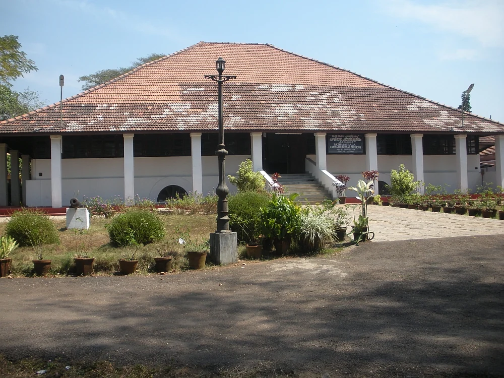
State archaeology museum at East Hill in an 1812 bungalow, with murals, bronzes, coins and megalithic monuments.

36.1 km · ~60 min by cab · straight line
wildlifeSarovaram Bio Park

A 98-acre public eco-park on the Conolly Canal in central Kozhikode, the developed part of the Kottooli wetland — mature urban woodland and mangrove-fringed water, mid-renovation and partly not operating.

36.3 km · ~61 min by cab · straight line
museumRegional Science Centre and Planetarium

A National Council of Science Museums centre in central Kozhikode — five galleries, a 3D theatre and an outdoor science park. ⚠ Its planetarium has been closed for a projector replacement since 13 July 2026 with no announced reopening date.

37.3 km · ~62 min by cab · straight line
beachKappad Beach

Historic beach associated with Vasco da Gama’s arrival on the Malabar coast.

37.9 km · ~63 min by cab · straight line

All 4 places to visit in Thusharagiri →

On the map

Where Tusharagiri Waterfalls is

Good to know

Tusharagiri Waterfalls — frequently asked

Does Thusharagiri really mean snow-capped mountain?

That is one valid translation of the Sanskrit, but nothing here is remotely snow-capped — this is Western Ghats foothill country at about 11.5°N. The word tushara equally means dew, mist or fine spray, which describes the gorge accurately. Kerala Tourism itself publishes both readings on different pages of its own site: snow-capped mountains on one, mist-capped peak on another.

How tall is the tallest fall?

Nobody publishes a sourced figure. The 75-metre number is repeated everywhere, but Kerala Tourism attaches it to Erattumukku and English Wikipedia attaches it to a fall called Thenpara, and neither cites a survey. The site’s own entrance signboard gives no heights at all — its 100 m, 500 m and 1 km are walking distances from the gate. Treat 75 metres as unverified.

What are the three waterfalls actually called?

The Kerala Forest Department, which runs the site, the Malayalam Wikipedia and the painted board at the entrance all agree on Erattumukku, Mazhavil Chattam and Thumbithullumpara, in that order going upstream. English Wikipedia instead names Thenpara, Erattumukku and Mazhavil Chattam, and Kerala Tourism has published both lists. Four names circulate for three falls; the Forest Department’s version is the one used on site.

When is the best time to visit?

September to December, after the monsoon has filled the river but the rain has eased. Peak monsoon means dangerous rock, leeches and closure risk; late in the dry season the flow can shrink to threads, and in May 2024 the falls dried up entirely. Whatever the month, the site’s published hours are roughly 8am to 4pm.

Can you swim there?

There are pools at the lower fall and people do bathe in them, but the real hazard is not depth. On 13 May 2025 a flash flood came down the Chalippuzha at Chembukadavu with almost no rain falling locally — the water arrived from the hills above. Watch the sky over the ridge, not over your head, and stay out during any red or orange alert, when tourist spots are closed district-wide.

Which river is this, and where does the water go?

The Chalippuzha, formed where two hill streams meet just above the falls. It joins the Iruvanjipuzha (Iruvazhinjipuzha) a few kilometres north of Thiruvambady; the Iruvanji joins the Chaliyar at Koolimadu near Cheruvadi; and the Chaliyar reaches the Arabian Sea at Beypore. On the way, a 2.7 MW run-of-river weir at Chembukadavu, commissioned in 2003, draws on the same river.

How do I get there, and what does it cost?

About 50 km east of Kozhikode via Thamarassery and Kodencheri, roughly 6 km beyond Kodencheri town, best by car or taxi; buses run to Kodencheri and thin out beyond it. The Forest Department eco-tourism gate has listed charges of around ₹30 for Indian adults, ₹15 for students and ₹50 for foreign nationals.

When is the best time to visit Tusharagiri Waterfalls?

Post-monsoon to winter is usually best for flow and safer access. Heavy monsoon rain can make trails risky.

What are the entry fee and timings at Tusharagiri Waterfalls?

Entry: A small entry/eco-tourism or guide fee may apply for the trails (confirm locally). Timings: Daytime; go early for the longer treks.

How do I reach Tusharagiri Waterfalls?

Base in Kozhikode city, Kodenchery or a nearby plantation/homestay depending on how early you want to start. Check current access, guide requirements and trail condition before promising upper-falls trekking. Wear proper shoes and keep a dry bag for phones during waterfall spray or rain.

How much time do I need for Tusharagiri Waterfalls?

2 to 4 hours for lower areas; half to full day if trekking further with local permission.

What else is near Tusharagiri Waterfalls?

Nearby you can pair Thusharagiri Waterfalls trek (380 m), Arippara Waterfalls (3.9 km), Vellarimala trek (4.8 km), Malabar Wildlife Sanctuary (16.1 km).

What should I know before visiting Tusharagiri Waterfalls?

Do not enter strong currents or closed pools. Avoid upper trails during heavy rain, lightning or low visibility. Stay on permitted routes and follow guide/local instructions.

Read before you go

Tusharagiri Waterfalls guides, stories & itineraries

Stories & history of Tusharagiri Waterfalls

Written about Tusharagiri Waterfalls itself — its history, its legends and the arguments about them.

Around Thusharagiri

These guides explore Thusharagiri and the surrounding area. Choose a visit that fits your interests, allowing separately for travel between stops.

Kerala-wide guides & itineraries

Route-level itineraries and practical guides for the rest of Kerala.

See all 87 Kozhikode guides & stories →

Image credits

Photographs: Shijan Kaakkara (CC BY-SA 4.0), Dr.Juna (CC BY-SA 4.0), Girish Mohan P K (CC BY-SA 4.0), Manoj Karingamadathil (CC BY-SA 3.0), DTPC Kozhikode (Official owner source; no Creative Commons licence asserted). Wikimedia Commons.