What to expect
Highlights
- Reservoir and dam views at Aruvikkara Dam
- Engineering landmark or garden/viewpoint stop
- Pair with nearby hill, forest or town routes
A reservoir, riverside temple and small park on the Karamana river north-east of the city, a popular local picnic spot.
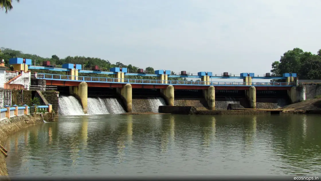
A small dam on the Karamana river, a temple on the rock beside it where the fish are fed by hand and never caught, and a park where the city comes for the day. Aruvikkara is modest and much loved, and the fish are the reason.
Aruvikkara sits about 16 km north-east of Thiruvananthapuram, where the Karamana river is dammed as part of the capital's water supply. The dam is small and unspectacular. What draws people is the combination around it: the reservoir, the wooded rock, the riverside park, and the Aruvikkara Devi temple built into the rock at the water's edge.
The temple is the heart of it. It stands on the rock beside the river with the water running past below, and it is dedicated to the Devi in a setting that is genuinely striking — small, dark, and hard against the stone, with the sound of the river underneath everything.
The fish are the thing everyone remembers. The stretch of river at the temple holds large fish that are regarded as sacred, fed by visitors and by devotees, and never taken. They gather in numbers where people stand, entirely unafraid, and the sight of a shoal of substantial fish crowding a temple bathing ghat is unlike anything else near the city. Feeding them is part of the visit; catching them is unthinkable and, by long custom, does not happen.
Around the temple the site works as a park. There are gardens and shaded areas along the river, and it is a standard family outing from the capital — busiest at weekends and during festivals at the temple, and quiet on an ordinary weekday morning.
Feeding the fish is organised rather than improvised: puffed rice and similar feed is sold near the ghat, and the practice is understood as an offering to the deity rather than as a diversion. Buy the feed there rather than bringing your own, and do not bring bread — the point is to participate in what happens here, not to run an experiment on a protected shoal.
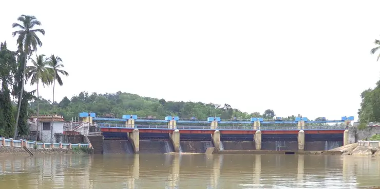
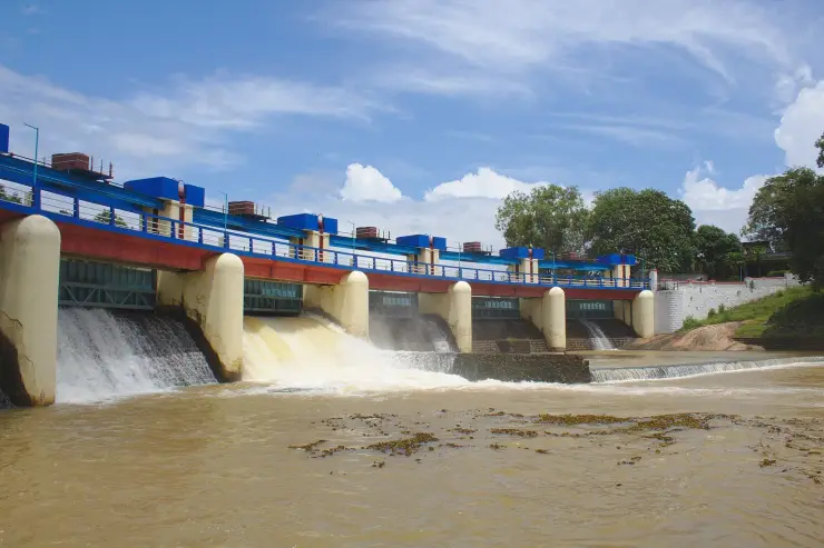
The dam is worth two minutes of attention even though it is not the draw. It is a masonry gravity structure, which is to say it holds the river back by sheer weight of stone rather than by arching the load into the valley walls, and it belongs to a scheme that has been supplying Thiruvananthapuram since long before the present wall was built. Most of the capital's drinking water passes through here.
It is worth holding two facts about this river at once, because Aruvikkara is where they sit closest together. Here the Karamana is venerated: a shoal fed by hand, a shrine on the rock, water clean enough to be the capital's supply. Twenty kilometres downstream, past the city, the same river carries domestic effluent and sewage — much of it arriving through the Parvathy Puthanar canal — into the estuary at Thiruvallam, where the district's ancestral rites are performed and where studies have recorded heavy bacterial contamination. One river, worshipped at both ends and poisoned in the middle. Aruvikkara is the upstream end of that, and the reason it stays clean is that it is fenced, gated and treated as infrastructure.
The Karamana river connects Aruvikkara to a much larger story than its size suggests. It rises in the Agasthyamala foothills, is held at the Peppara dam higher up in the wildlife sanctuary, passes through Aruvikkara, runs down through Thiruvananthapuram past Thiruvallam — where the district's ancestral rites are performed — and reaches the sea in the south of the district. Aruvikkara is one link in a chain that supplies the city with most of its water.
The sacred fish of Aruvikkara are the subject of local tradition holding that they are under the Devi's protection and that harm coming to them brings misfortune. Whatever the origin of the belief, its effect is straightforwardly observable: a stretch of river where large fish have not been fished for generations, and behave accordingly.
A second belief attaches to the feeding itself. Many devotees hold that feeding the fish is an offering made directly to the deity, and a widely repeated version goes further — that it brings relief from illness, with skin conditions named most often. We report this as what people here believe, because it is, and because it is a real part of why the ghat is busy. It is not a medical claim and we are not making one. If you have a skin condition, see a doctor; feed the fish because it is a lovely thing to do at a beautiful place, not as treatment.
The dam's own dates are muddled in a way worth untangling, because three different figures circulate as though they were the same one. The Aruvikkara water-supply scheme dates from the 1930s. The masonry gravity dam standing across the Karamana today is generally given as completed in 1972. And Peppara, upstream inside the wildlife sanctuary, followed in 1983 to augment the same supply. Sources routinely quote one of these as 'the date of Aruvikkara dam' — they are describing a scheme, a structure and its upstream extension, nearly fifty years apart end to end.
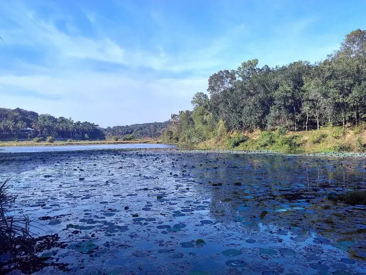
One physical fact about the setting is rarely stated and changes how you read it. The still, deep pool where the fish gather in front of the temple is not an ancient sacred tank. It is impounded water — the reservoir behind the dam. The custom of feeding and protecting the fish may well be far older than the wall, but the calm sheet the shoal now occupies is the product of a masonry gravity structure, and what looks like a timeless arrangement of shrine and pool is in part a twentieth-century engineering outcome that the older practice has settled into.
The fish themselves are worth one honest sentence. Every account calls them large, sacred and uncaught, and none that we can find identifies the species. That is a real gap rather than a detail: at comparable temple fish sanctuaries elsewhere in the Western Ghats — the Cauvery stretches in Karnataka above all — the protected shoals are documented as mahseer, and that identification is precisely what made the sanctuaries matter to conservationists as well as to devotees. At Aruvikkara nobody appears to have published the equivalent. A protected population in a drinking-water reservoir, unfished for generations, is exactly the kind of thing that ought to be surveyed.
As at many Kerala Devi shrines, the temple's foundation is explained by traditional accounts of the goddess's self-manifestation at the rock beside the water. These are told as tradition rather than documented history, and different local versions vary. The temple is also known in fuller form as a Bhagavathi shrine associated with the Sapthamathrus, the seven mothers, which is the framing you will hear from priests rather than from signage.
The dam at Aruvikkara was built across the Karamana river as part of the water-supply system for Thiruvananthapuram, and the site continues to serve that function.
The Karamana rises in the Agasthyamala foothills and is impounded higher up at the Peppara dam inside the Peppara Wildlife Sanctuary before reaching Aruvikkara — so the two dams are part of one system supplying the capital.
The Aruvikkara Devi temple, built into the rock beside the river, long predates the dam and remains an active shrine with its own festival calendar.
The supply system has a name and a date that are usually left out. The Trivandrum Water Works was founded in 1933 and named for Lord Willingdon, then Viceroy and Governor-General, and it has drawn on the Karamana ever since; the masonry gravity dam standing today, 14.01 m high and 83.21 m long, dates from 1972, and water leaves the site down four pipelines. A treatment plant of about 74 MLD was added in 2010 under a Japanese-assisted (JICA) scheme, feeding the Nettayam, Malamukal, Thirumala, Attukal and Nelliyodu reservoirs, and a further plant of about 75 MLD has been taken forward since. The city's demand has run ahead of all of it — roughly 217 MLD against an estimated 203 MLD supplied.
The riverside gardens and park developed around the site have made it one of the standard short excursions from the city.
The sacred fish at the temple ghat — large, numerous and completely unafraid — are a genuinely unusual sight and the reason most people come.
It is the cleanest point on a river that is heavily polluted twenty kilometres downstream, which makes it an unusually legible piece of a city's water system.
The Aruvikkara Devi temple, set into the rock with the river running below it, is a striking setting for a small shrine.
The riverside park and gardens make it an easy, shaded family outing 16 km from the city.
It is part of the Karamana system that supplies Thiruvananthapuram with water, which links it to Peppara upstream and Thiruvallam downstream.
It is quiet on a weekday morning and costs almost nothing to visit.
Road km to Thiruvananthapuram; ghat roads and traffic vary — allow extra.
Post-monsoon and winter for scenery; monsoon access may change.
Live forecast loads in your browser.
Sun and moon are calculated for this location and shown in IST. Photography windows are the hour around sunrise and sunset; the sunset bearing is degrees clockwise from true north. Moon phase is accurate to about half a day.
Browse listed stays, food, activities, sights, shops and rentals around Aruvikkara Dam. Check each listing’s locality and contact the business directly for current arrangements.
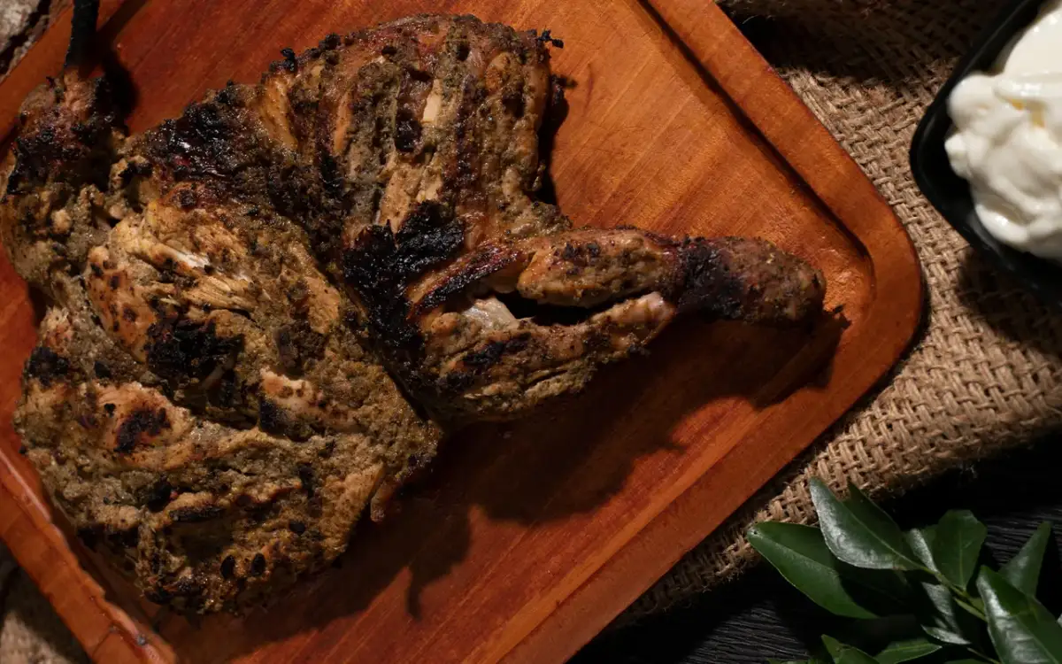
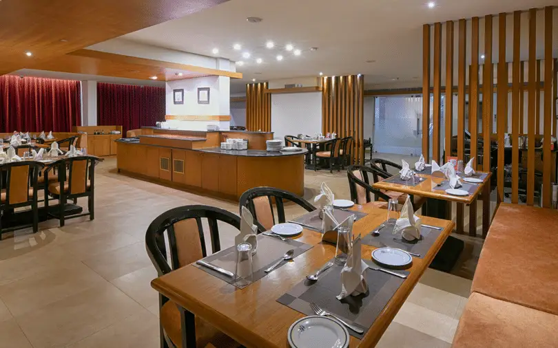
Zam Zam’s Palayam restaurant is opposite the MLA Hostel. Use this branch’s menu and contact for a city meal or group booking; the chain has other locations.
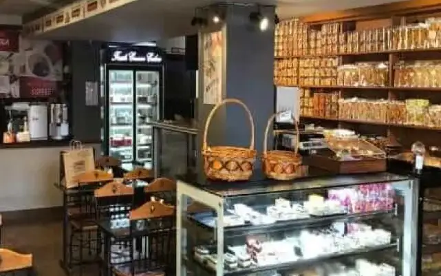
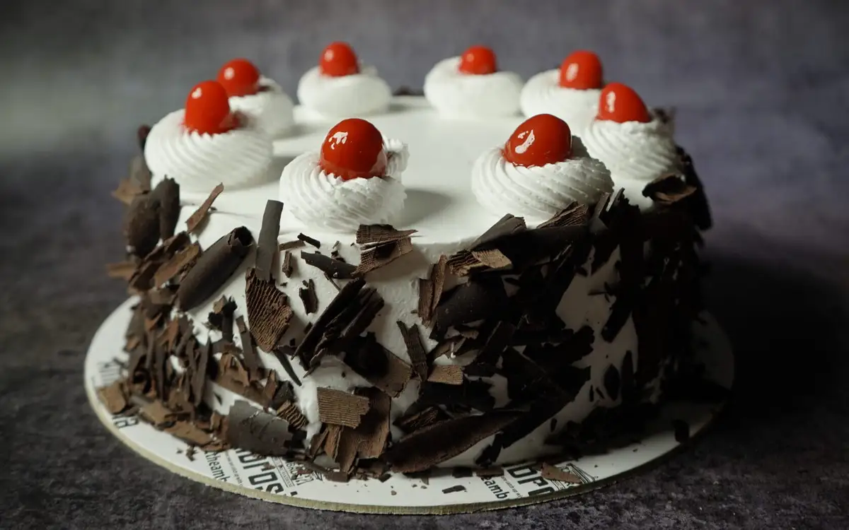
Trivandrum bakery with 24+ years of heritage that also runs Atelier by Ambrosia, a European fine-dining restaurant.
Restaurant (regional, north indian) on Venpalavattom, Near Lulu Mall in Thiruvananthapuram City. Regional, North Indian, AC.
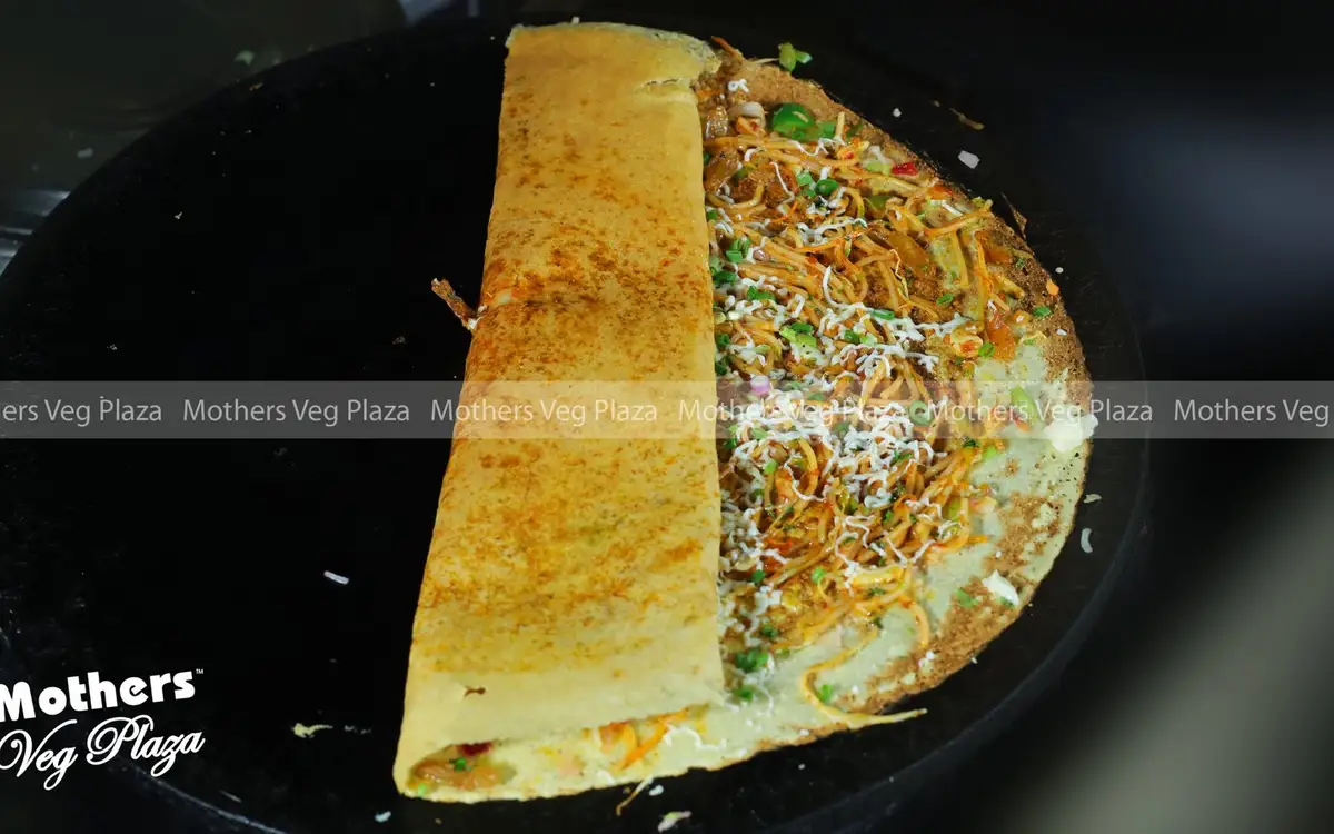
Mothers Veg Plaza is a vegetarian restaurant at Bakery Junction near the Russian Cultural Centre in Palayam, Thiruvananthapuram. Its website highlights Kerala sadya and a range of dosas. Choose a banana-leaf meal or ask about the dosa menu for your visit.
Multi-cuisine restaurant at Apollo Dimora, opposite Trivandrum Central railway station in Thampanoor. Paired with the hotel's pure-veg Vega Dimora next door.
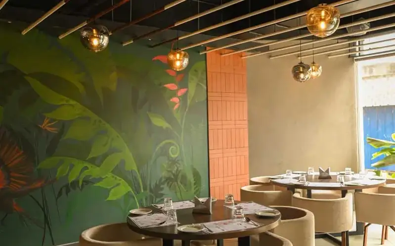
Villa Maya is a restaurant on Airport Road at Injakkal in Thiruvananthapuram. Its Kerala Tourism owner-submitted listing describes a dining concept shaped by Kerala’s spice-trade connections. Consider it for a planned meal and confirm the current menu and dining setting before reserving.
Restaurant (regional) on Kuttikad Lane in Thiruvananthapuram City.
Restaurant (south indian) on kuravankonam, Opposite Surya Medicals in Thiruvananthapuram City.
Restaurant (regional) on Fort South Nada road in Thiruvananthapuram City.
Restaurant (burger) on kuravankonam in Thiruvananthapuram City.
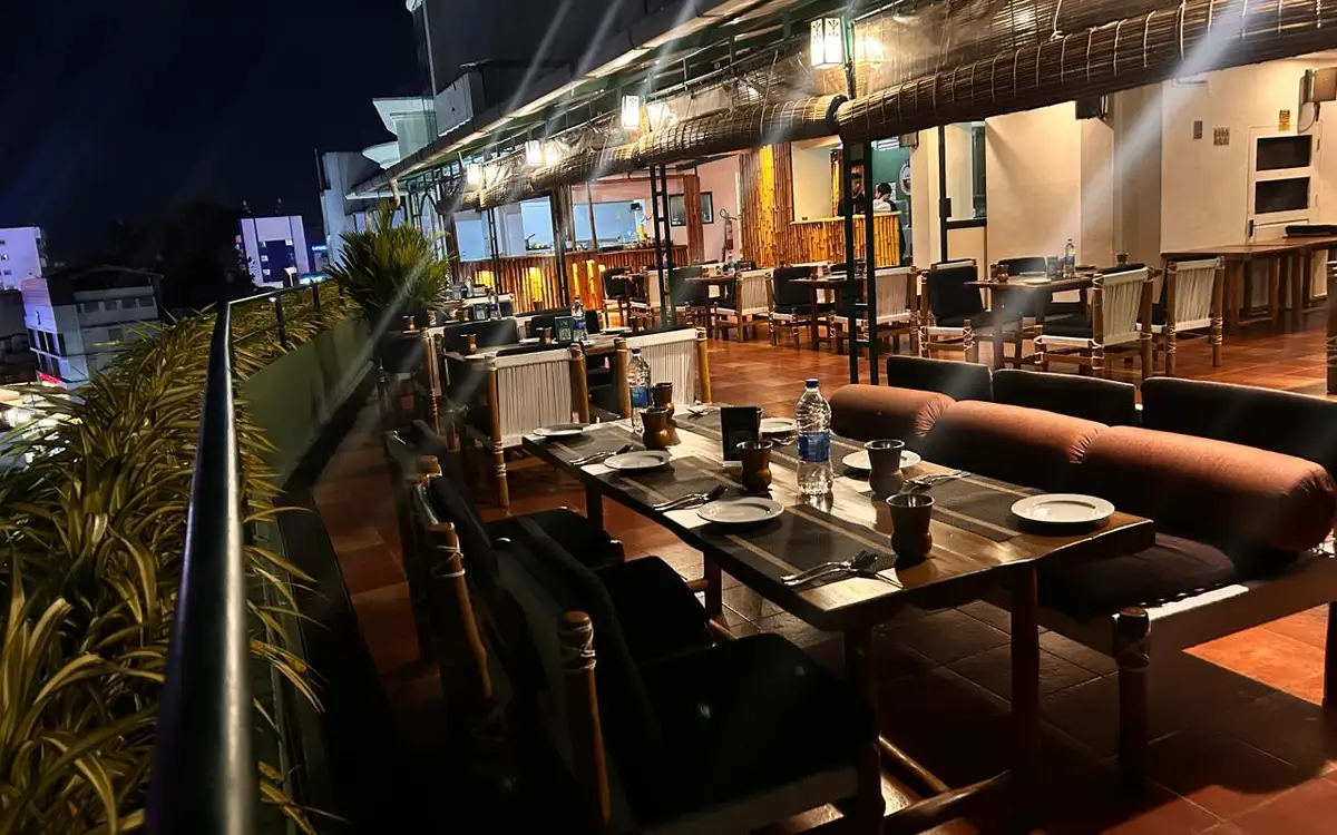
The Dhaba is Residency Tower’s Punjabi rooftop restaurant on Press Road, near the south gate of the Secretariat. Its dedicated restaurant page lists dinner service; confirm the current evening session and menu when reserving a table.
Multi-cuisine restaurant at Uday Suites, a garden hotel near Shangumukham beach. Serves Indian, Continental and Chinese buffets and a la carte.
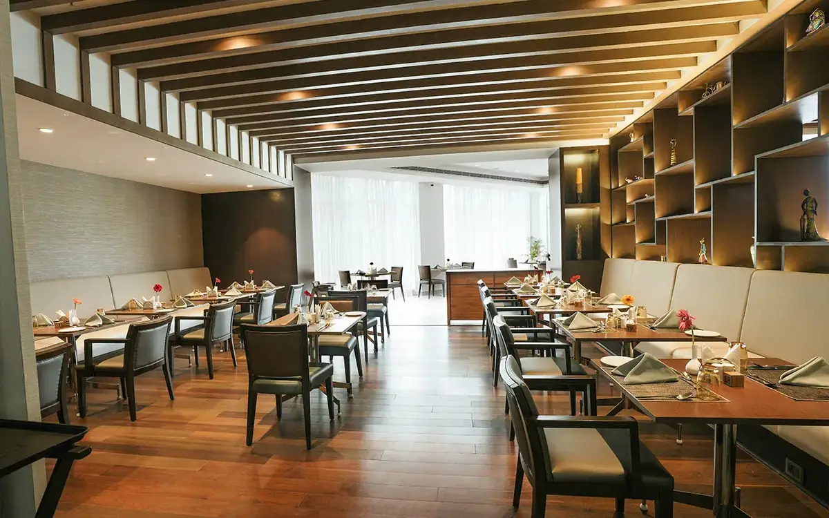
Mira is Hotel Horizon’s multi-cuisine restaurant at Aristo Junction, Thampanoor, with buffet and à la carte dining. Ask about the current serving session and its separate private dining room when planning a group meal.
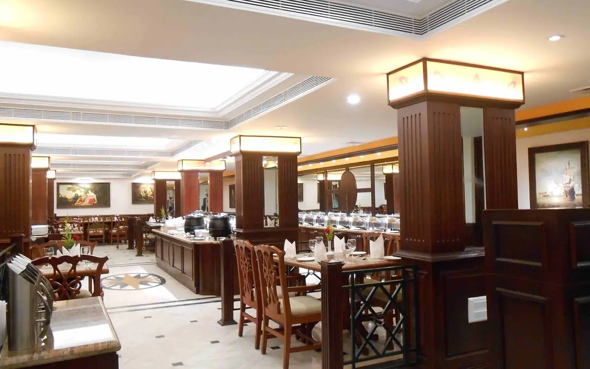
Regency is The South Park’s indoor multi-cuisine restaurant on M.G. Road at Palayam, with buffet and à la carte meals. Reserve Regency specifically; the hotel’s rooftop Skyye Grill and Oakwood lounge are separate venues.
My Place is the all-day restaurant at Gokulam Grand Trivandrum near Akkulam Bridge, serving pan-Indian and international cooking. Choose this venue separately from the hotel’s Mediterranean restaurant, coffee shop and bars.
Ambrosia at Bakery Junction is a cake and savoury pickup option in Krishna Complex, Palayam. Contact this outlet to check the product, size and lead time, and confirm the collection branch when ordering.
Café (coffee shop, regional, indian) on Old NH in Thiruvananthapuram City.
Restaurant (indian) on Anaval Street in Thiruvananthapuram City.
Street food (indian, chicken, coffee shop, kebab) on Old NH in Thiruvananthapuram City.
Street food (burger) on Unit# GF - 30, Kazhakootam - Kovalam Bypass Rd, Chacka, Thiruvananthapuram, Kerala 695024 in Thiruvananthapuram City.
Café (coffee shop) on Unit# GF - 1, Kazhakootam - Kovalam Bypass Rd, Chacka in Thiruvananthapuram City.
Restaurant (indian, south indian, seafood) on Mahatma Gandhi Road in Thiruvananthapuram City.
Café (regional, coffee shop) on Old NH in Thiruvananthapuram City. Regional, Coffee Shop, Outdoor seating.
Restaurant (indian) on Valiyavila Maruthankuzhi Road in Thiruvananthapuram City.
Book with the place itself. India’s cyber-crime coordination centre warned in April 2025 that convincing copies of hotel and pilgrimage booking sites are being pushed through sponsored search and social ads, taking payment for rooms the property never hears about. Use the contact and source details on each profile to confirm the exact business and booking channel. A directory entry or map pin alone does not establish an operator’s identity or current availability. Roampedia takes no commission and does not collect booking payments. If a booking page reached you through an ad, check the address bar against the property’s own site before you pay. Fraud can be reported on cybercrime.gov.in or on 1930.
Find food, accommodation and activities across Thiruvananthapuram city. Browse the guides for places to eat, stay and explore along your route.
22 more places around Thiruvananthapuram city. Open a guide to plan the visit and onward journey.
The ancestral palace compound associated with Raja Ravi Varma at Kilimanoor; visitor access concerns the working family estate and must be confirmed before travel.
A major coastal Muslim pilgrimage landmark south-west of the city centre, known for the Beemapally Uroos and the tombs honoured within the shrine complex.
12.6 km · straight line
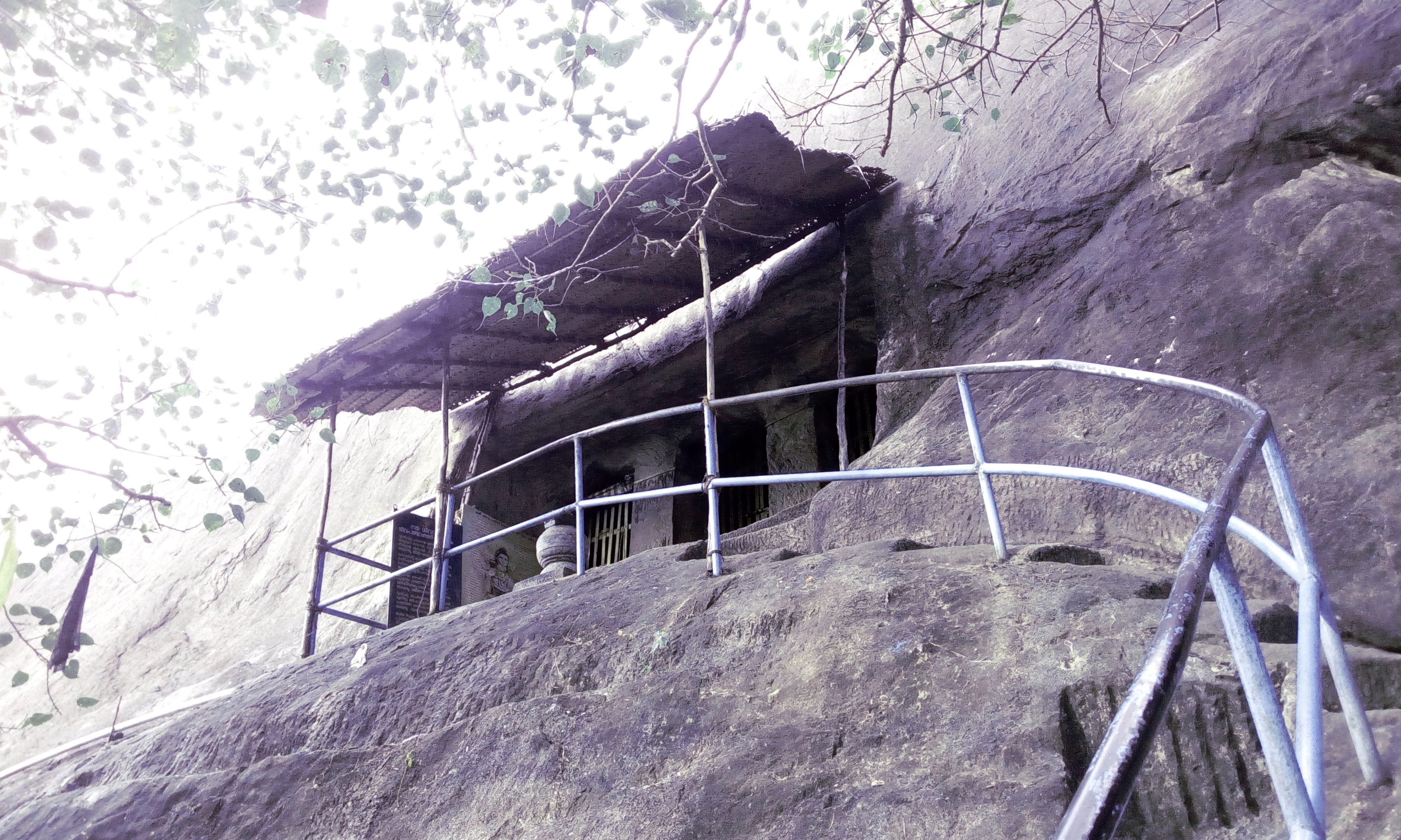
Madavoorpara combines a rock-cut Shiva shrine with a rocky hill landscape on Thiruvananthapuram’s northern edge. The temple and the climb offer different reasons to visit, and both deserve time.
18.3 km · 23 min drive
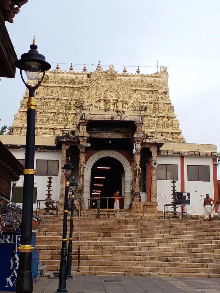
Major Vishnu temple and one of Kerala’s most important pilgrimage landmarks; strict entry and dress rules apply.
13.2 km · 18 min drive
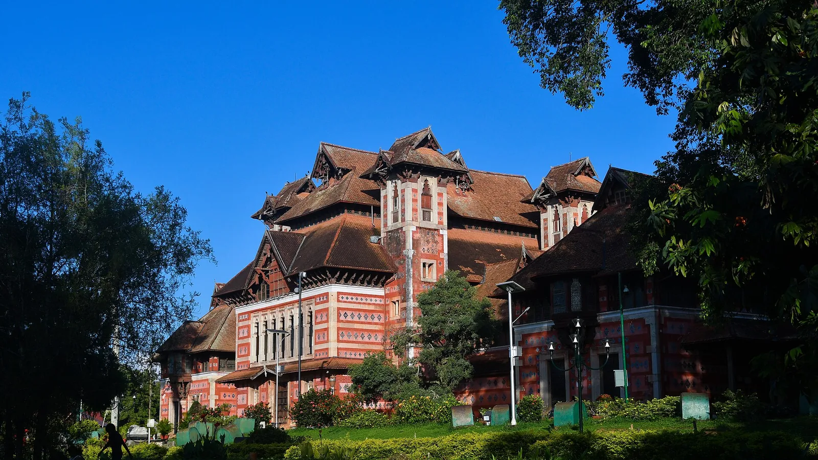
Robert Chisholm’s 1880 Indo-Saracenic museum in the Museum Park — a polychrome landmark holding Chola and Kerala bronzes, ivories and temple carts, with the Sree Chitra Art Gallery alongside it.
12.8 km · 17 min drive
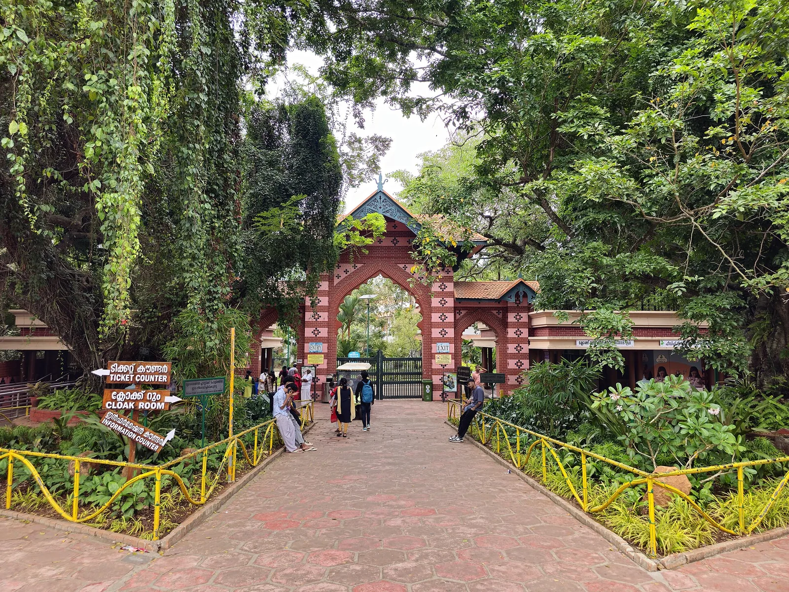
Old trees, winding paths and animal enclosures share the Museum Park at Thiruvananthapuram Zoo, also known as Trivandrum Zoo. Allow time for the garden as well as the collection, with the Napier Museum close by.
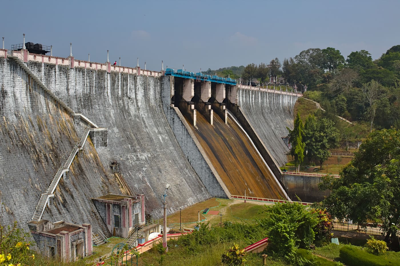
Guided forest trekking in the Neyyar Wildlife Sanctuary near the Agasthyamala foothills, south-east of Thiruvananthapuram.
18.1 km · 22 min drive
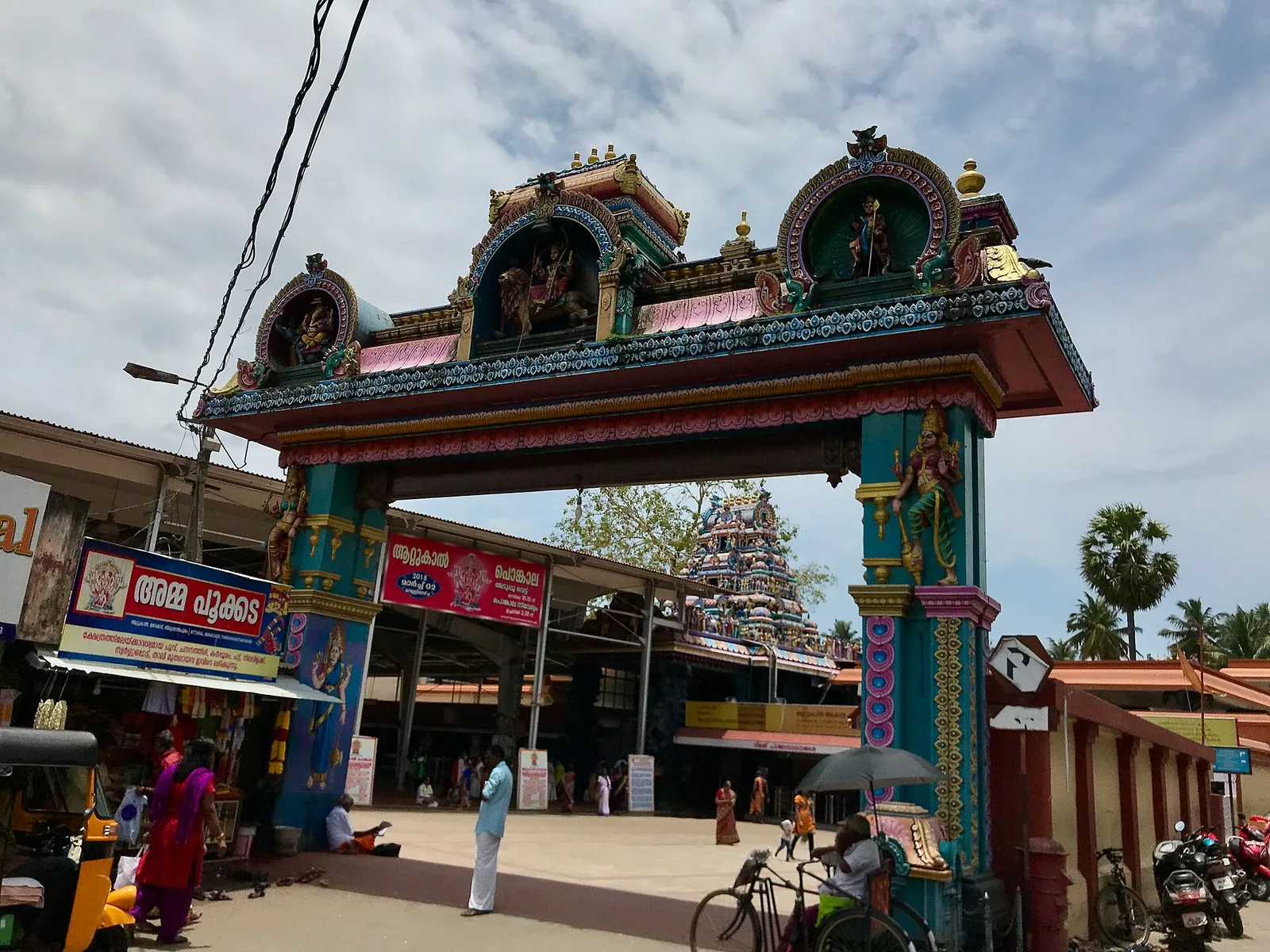
Famous Devi temple in the city, home of the Attukal Pongala — recorded as the largest annual gathering of women.
17.5 km · 22 min drive
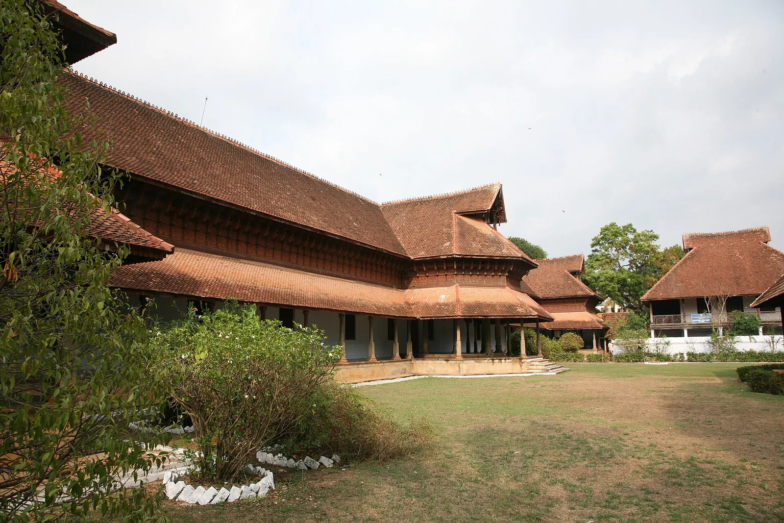
A row of carved wooden horses gives Kuthiramalika its name. Beside Sree Padmanabhaswamy Temple, this Travancore palace museum brings timber craftsmanship and royal collections into one compact visit.
13.2 km · 18 min drive
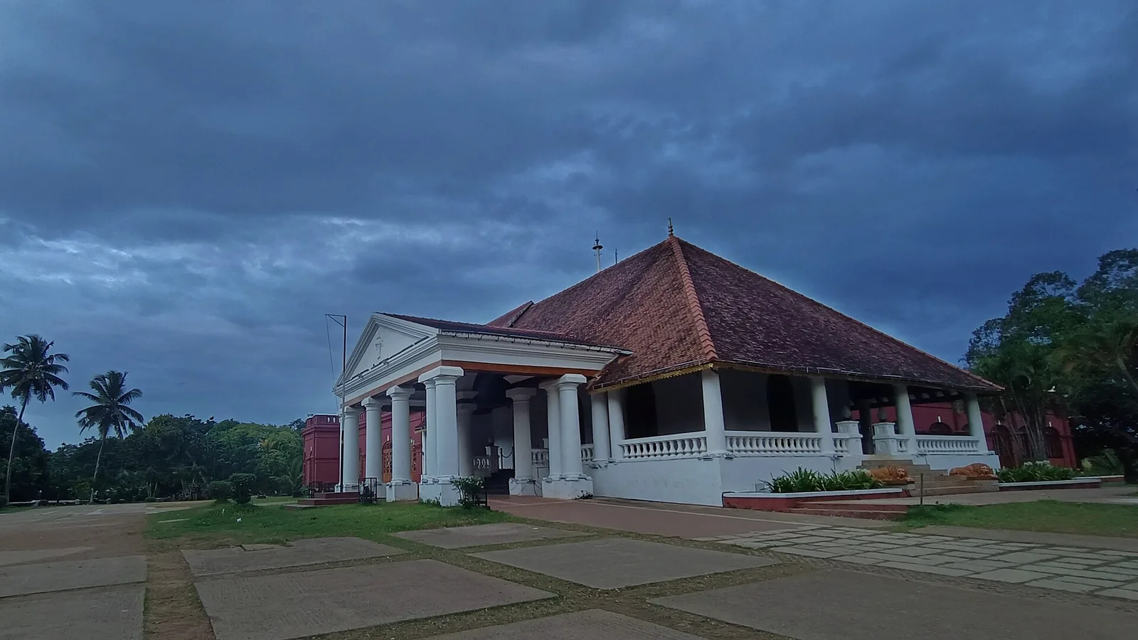
Kanakakunnu puts a Travancore palace among gardens and cultural venues near Thiruvananthapuram’s Museum Park. Come for an evening walk or choose a date around a performance.
8.3 km · 12 min drive
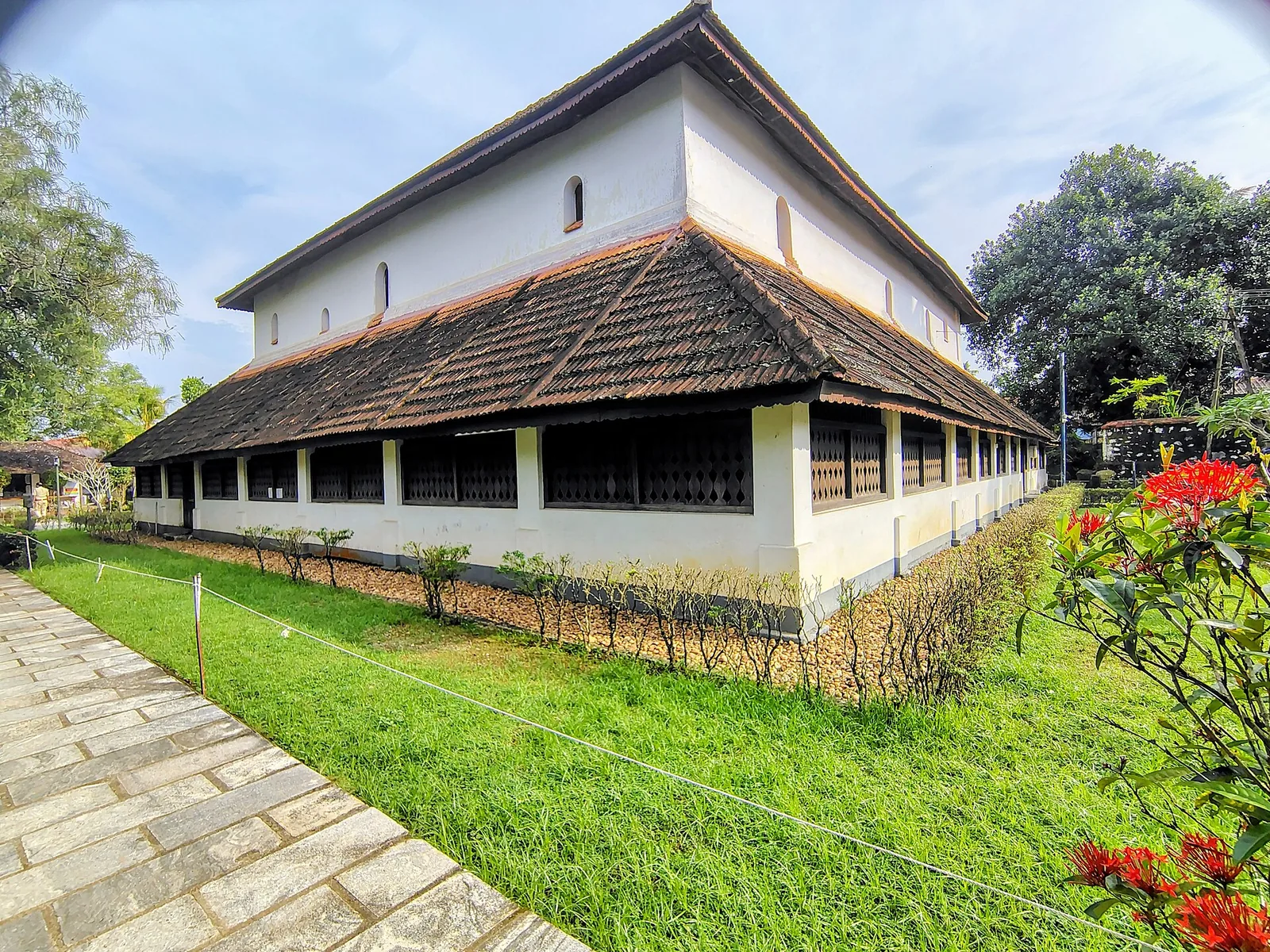
Koyikkal Palace at Nedumangad houses folklore and coin collections inside a traditional Kerala palace. Everyday objects, instruments and currency make this a more intimate museum stop than a grand royal gallery.
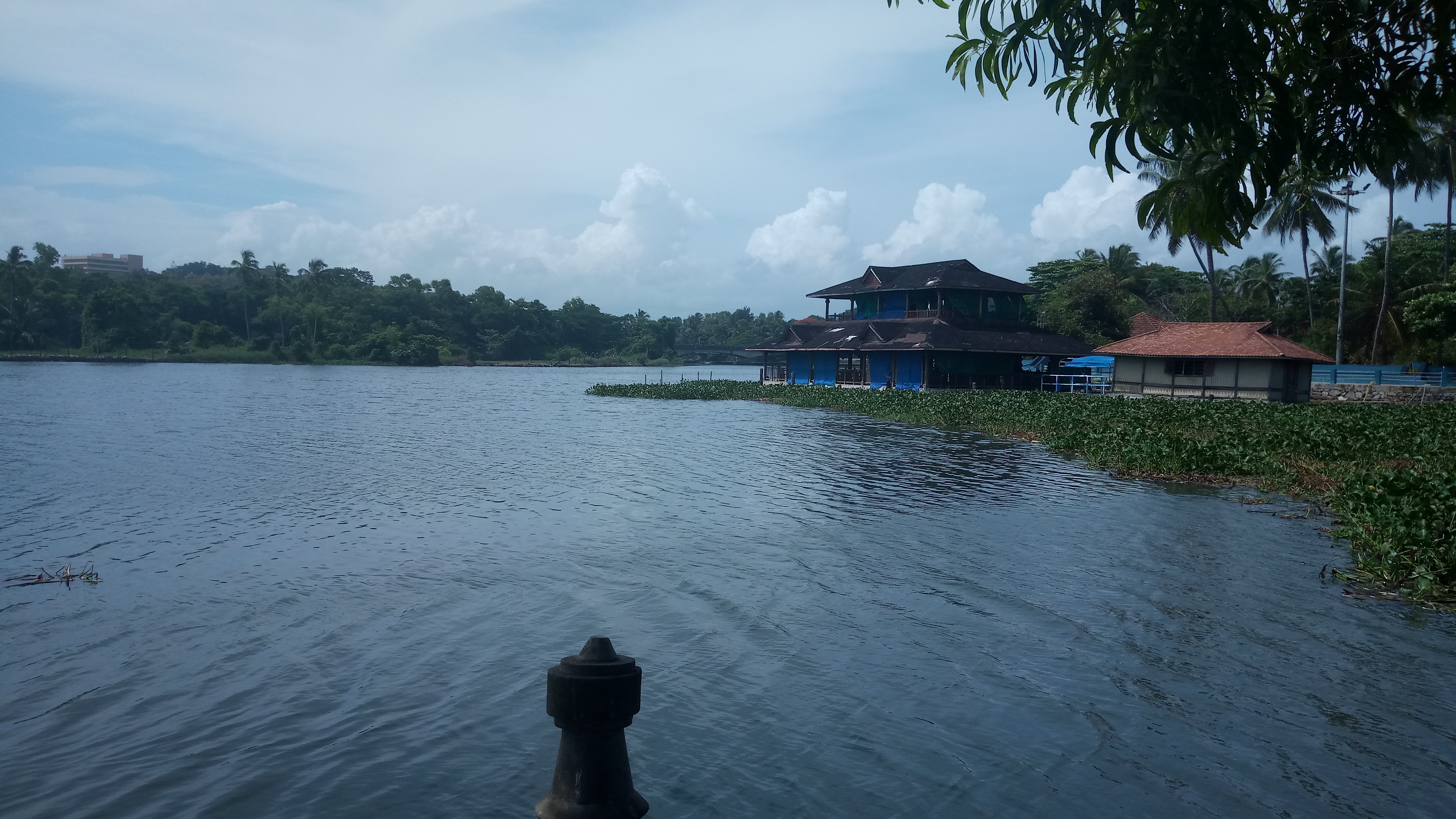
Veli Tourist Village brings lake views, gardens and boating to the coast near Thiruvananthapuram. It is a family outing at the meeting of Veli Lake and the Arabian Sea.
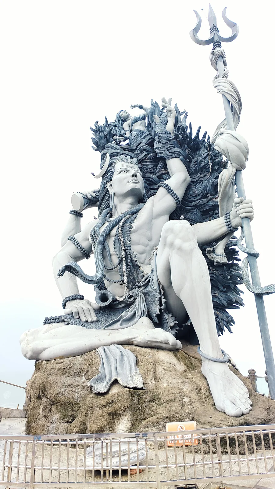
A clifftop seaside temple at Adimalathura near Vizhinjam, known for a giant Gangadhareswara (Shiva) sculpture.
An ancient temple on the Karamana river, the district’s main site for ancestral (bali) rituals and rare for its Parasurama deity.
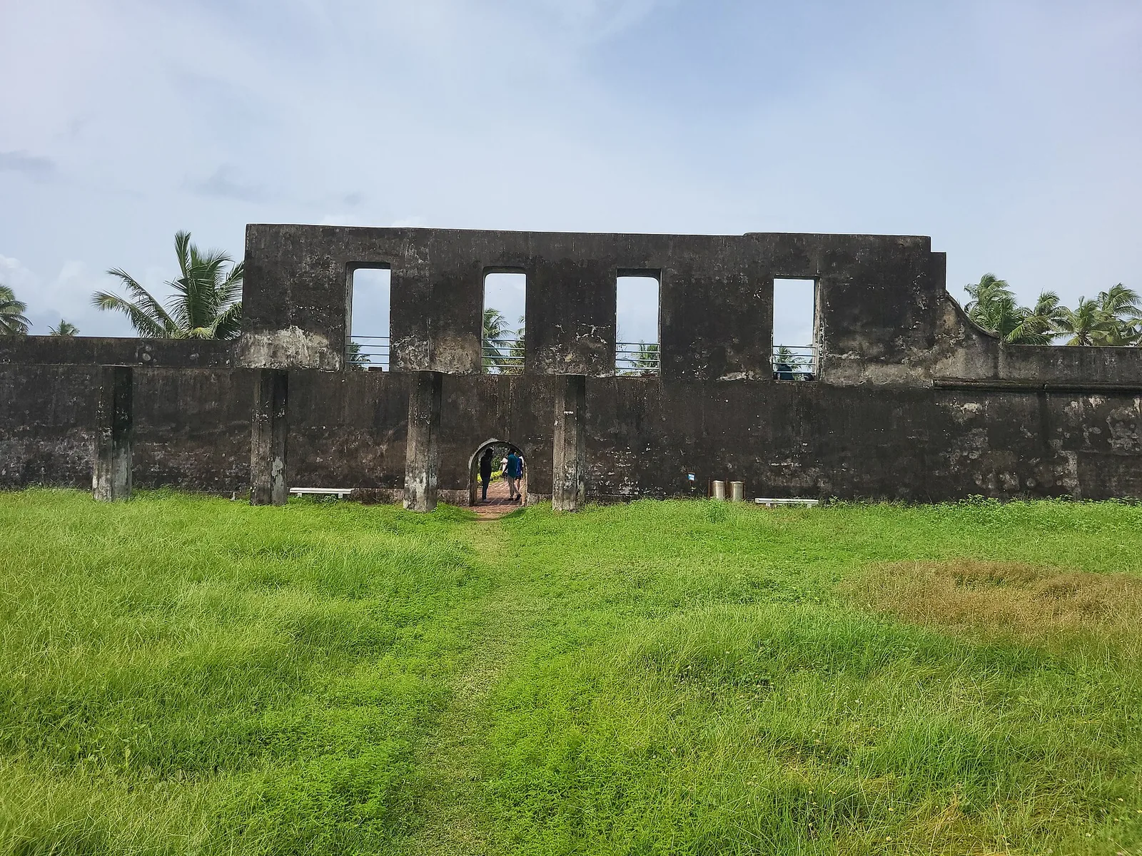
A 1690s English East India Company sea fort (Anjengo) on the coast north of the city, one of the earliest English settlements in Kerala.
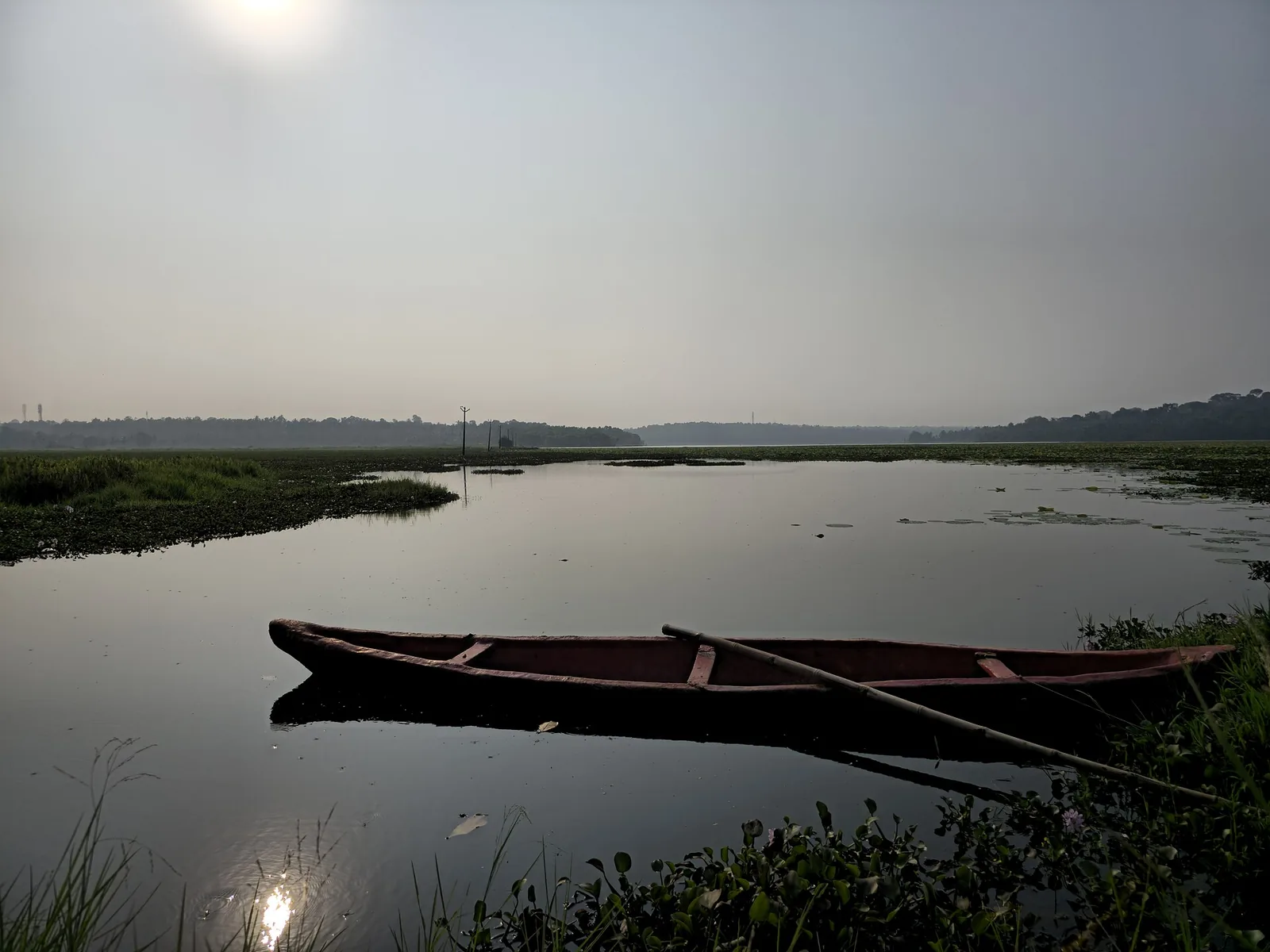
A freshwater lake in Thiruvananthapuram district, with the Punchakari–Vellayani wetlands nearby offering seasonal birdwatching.
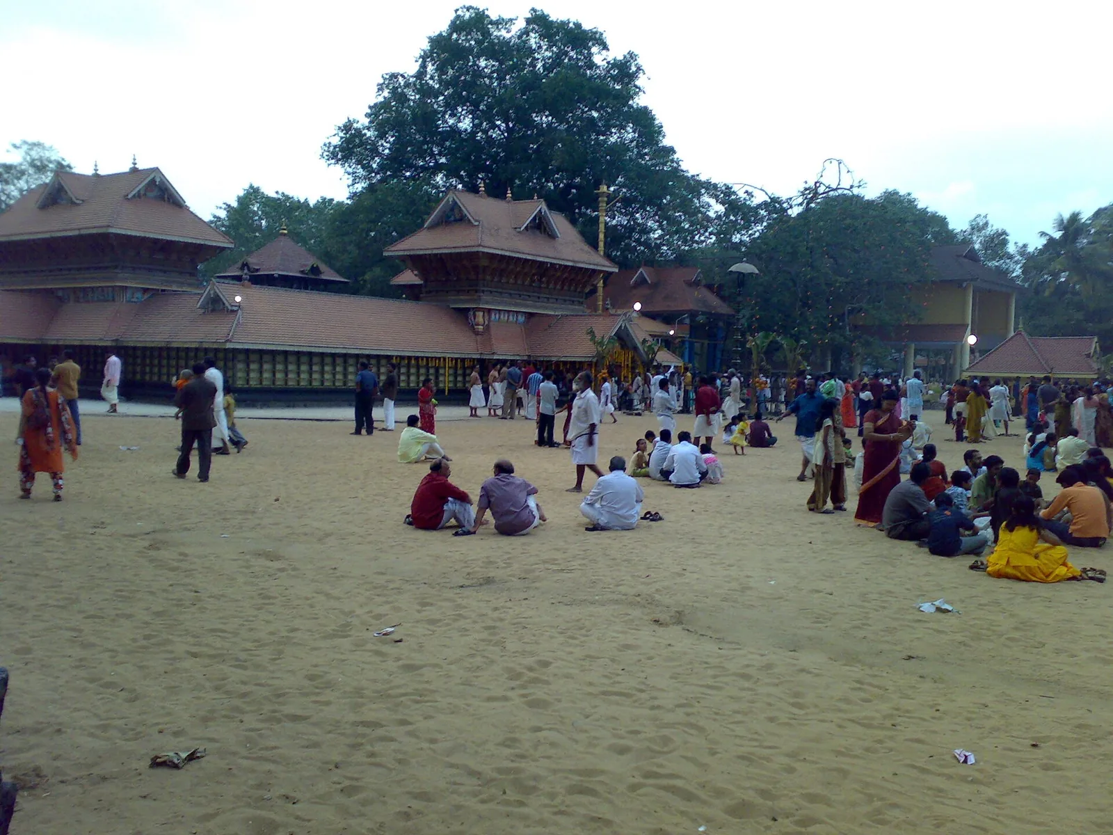
A renowned Devi temple at Chirayinkeezhu, famous for the Kaliyoot festival and the Sarkara jaggery legend.
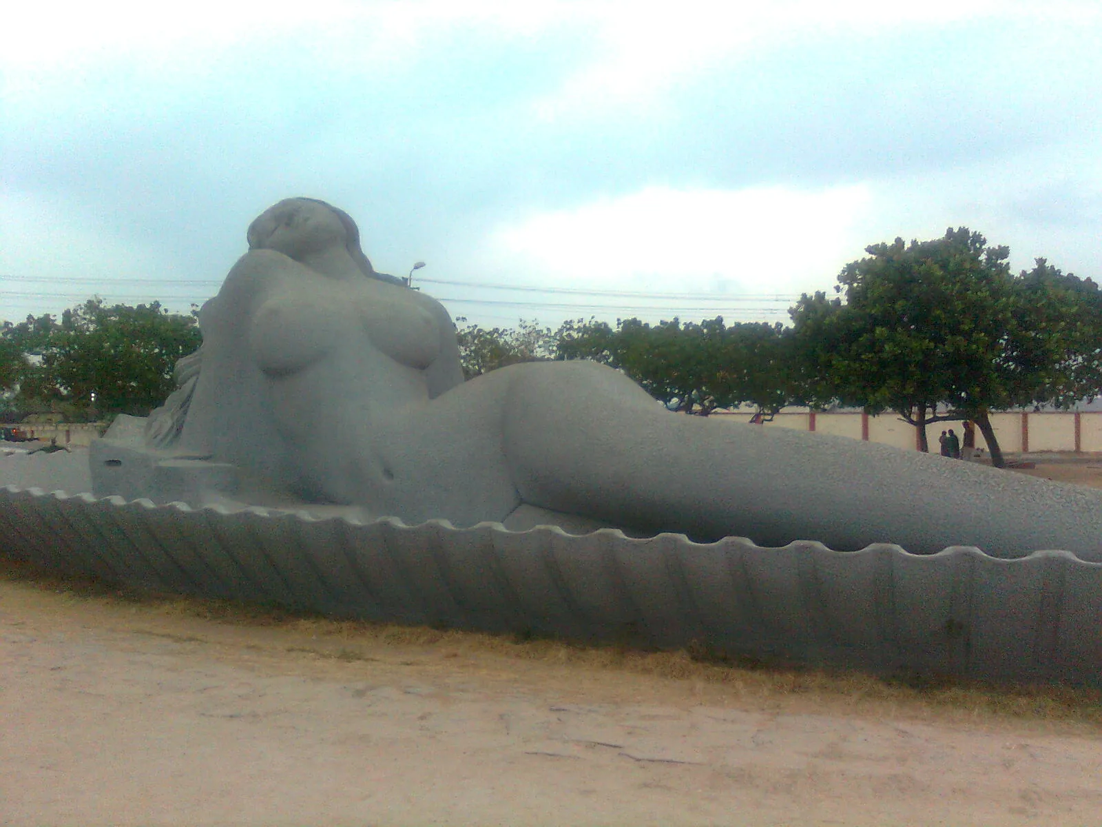
Shanghumukham is Thiruvananthapuram’s evening shoreline: an open sea horizon, airport-side access and Kanayi Kunhiraman’s reclining mermaid sculpture. Come for a coastal walk and the changing light.
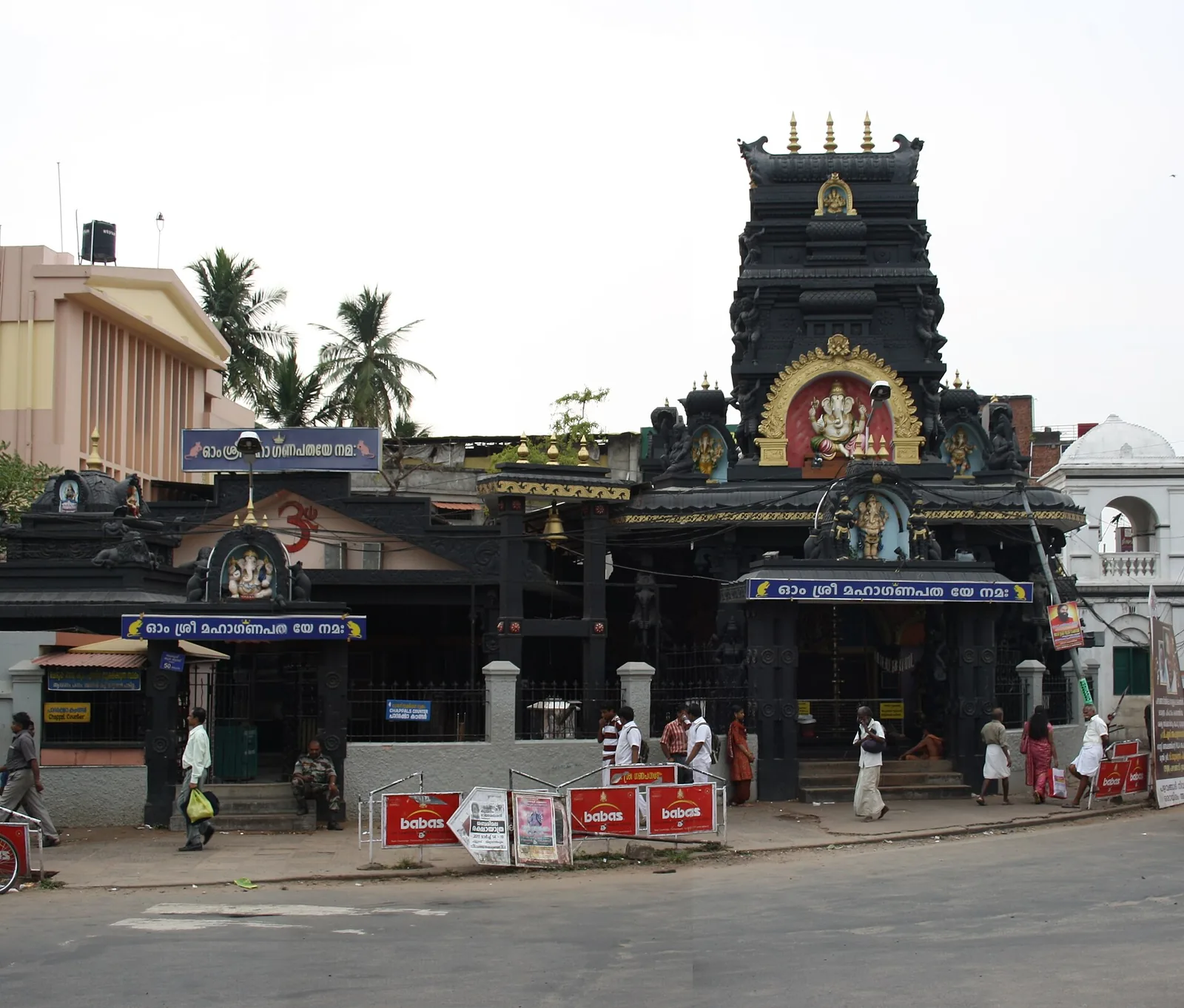
16.9 km · 21 min drive
A popular Ganapathy temple near East Fort, known for the coconut-breaking offering; run by the defence services.
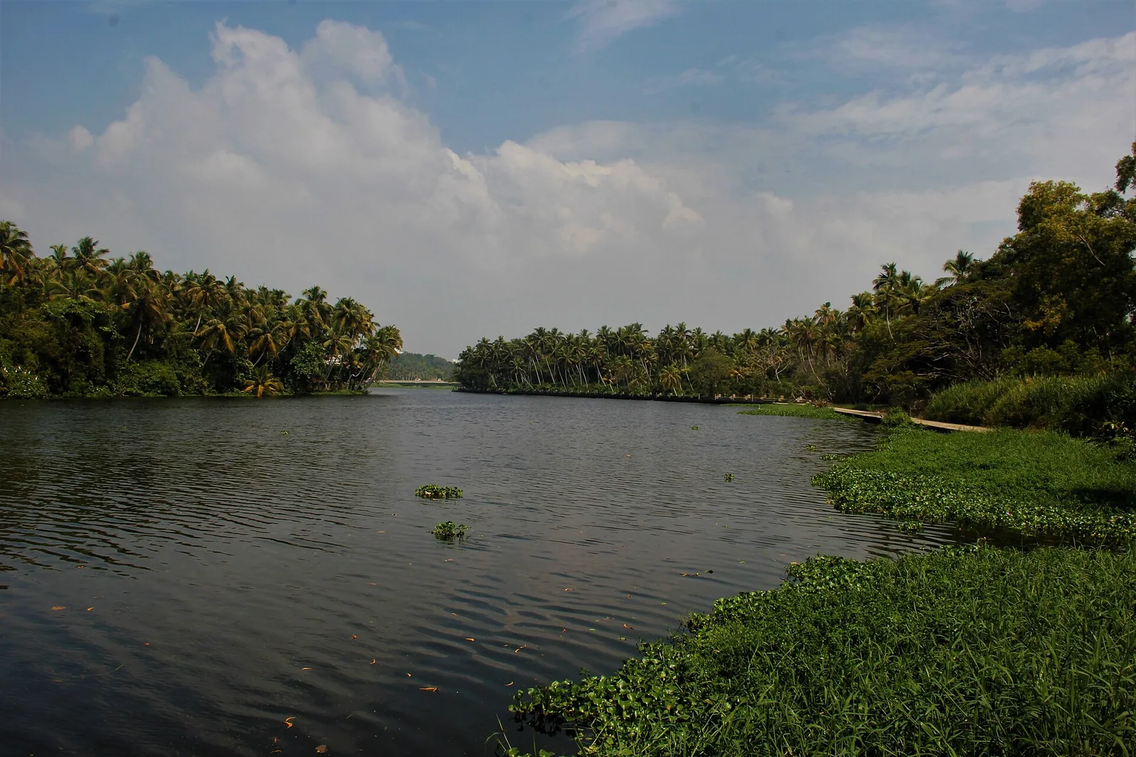
17.0 km · 22 min drive
A calm backwater and boating spot near Veli with a lakeside tourist village and children’s park.
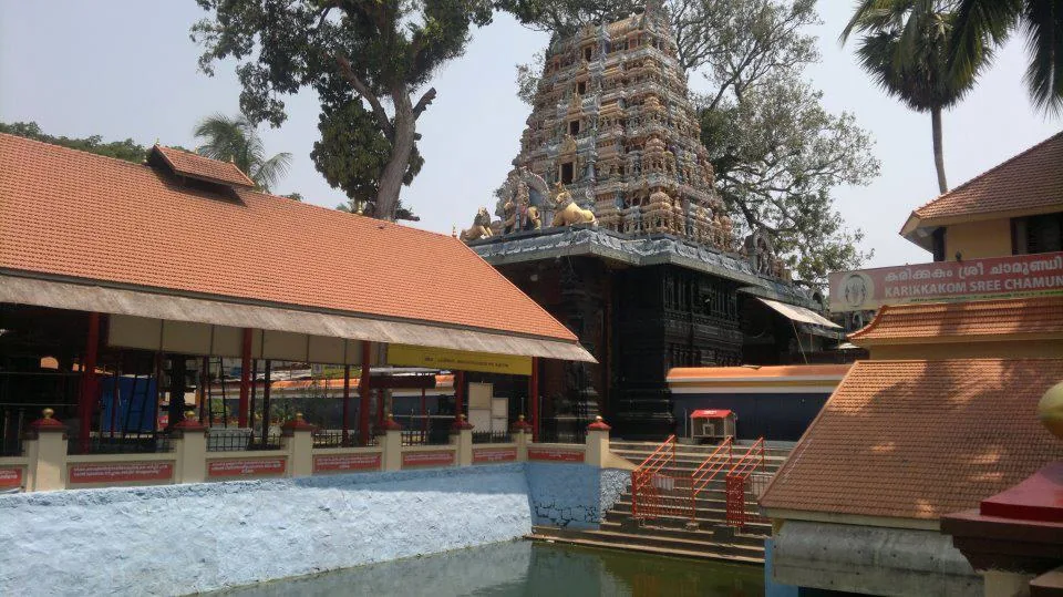
19.4 km · 27 min drive
A well-known Chamundi Devi temple on the western edge of the city, busy during its festival season.
13.7 km · 19 min drive
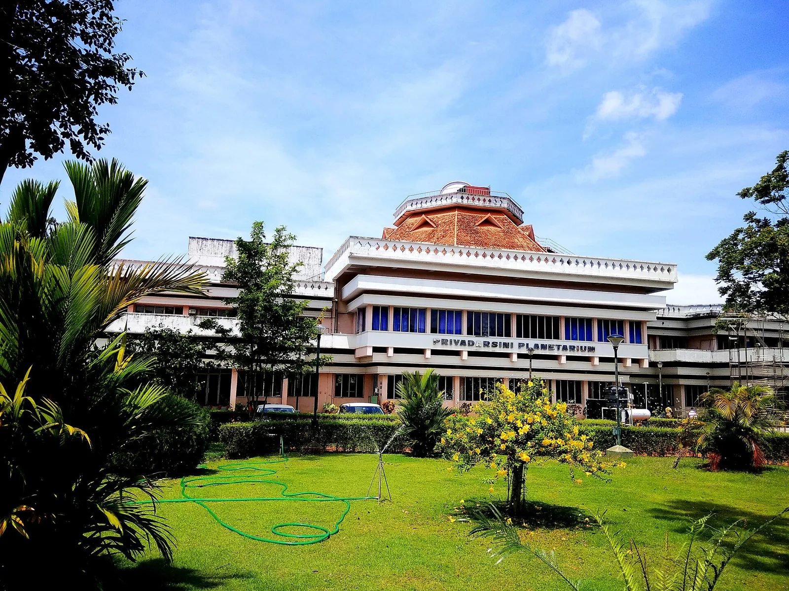
A hands-on science museum with the Priyadarshini Planetarium, popular with families and school groups.
Roampedia is commission-free — own or know a stay, eatery, guide or shop near Aruvikkara Dam? Submit public business details for review.
Add a nearby businessEntry: Free to view; small charges may apply for any rides or boating.
At Aruvikkara, about 16 km north-east of the city on the Karamana river; reachable by bus or car.
If you are travelling by bus or ferry, check the return service with the operator before setting out. Leave time to reach the stop or jetty after your visit.
Ask at the bus stand for the time of the last service back, not the next one. If you miss it, an auto or app cab is the fallback — agree the fare before you get in.
If you need step-free access, contact the site before travelling. Ask about a level entrance, steps along the route, the nearest drop-off point, seating and accessible toilets.
Charge cap and free-transaction limits: Reserve Bank of India, ATM FAQ updated 4 July 2025; checked 4 October 2026.
These services are listed within about 1.2 km of Aruvikkara Dam. Walking distances follow mapped routes; access and opening hours can change. Other services may be closer but are not included here.
Published emergency and visitor-assistance contacts. For an immediate emergency, call 112. Shared Kerala contact sources checked 4 October 2026; publication does not establish a tested live response.
Koyikkal Palace at Nedumangad houses folklore and coin collections inside a traditional Kerala palace. Everyday objects, instruments and currency make this a more intimate museum stop than a grand royal gallery.
8.3 km · 12 min driveMadavoorpara combines a rock-cut Shiva shrine with a rocky hill landscape on Thiruvananthapuram’s northern edge. The temple and the climb offer different reasons to visit, and both deserve time.
12.6 km · straight lineOld trees, winding paths and animal enclosures share the Museum Park at Thiruvananthapuram Zoo, also known as Trivandrum Zoo. Allow time for the garden as well as the collection, with the Napier Museum close by.
12.8 km · 17 min driveKanakakunnu puts a Travancore palace among gardens and cultural venues near Thiruvananthapuram’s Museum Park. Come for an evening walk or choose a date around a performance.
13.2 km · 18 min driveRobert Chisholm’s 1880 Indo-Saracenic museum in the Museum Park — a polychrome landmark holding Chola and Kerala bronzes, ivories and temple carts, with the Sree Chitra Art Gallery alongside it.
13.2 km · 18 min driveA hands-on science museum with the Priyadarshini Planetarium, popular with families and school groups.
13.7 km · 19 min driveA popular Ganapathy temple near East Fort, known for the coconut-breaking offering; run by the defence services.
16.9 km · 21 min driveA calm backwater and boating spot near Veli with a lakeside tourist village and children’s park.
17.0 km · 22 min driveA row of carved wooden horses gives Kuthiramalika its name. Beside Sree Padmanabhaswamy Temple, this Travancore palace museum brings timber craftsmanship and royal collections into one compact visit.
17.5 km · 22 min driveFamous Devi temple in the city, home of the Attukal Pongala — recorded as the largest annual gathering of women.
18.1 km · 22 min driveMajor Vishnu temple and one of Kerala’s most important pilgrimage landmarks; strict entry and dress rules apply.
18.3 km · 23 min driveA well-known Chamundi Devi temple on the western edge of the city, busy during its festival season.
19.4 km · 27 min driveRoad and walking figures are route estimates, with travel times dependent on access, traffic and conditions. Figures marked “straight line” show direct separation and do not describe a road or walking route. Fare estimates use Kerala’s 26 April 2022 auto/taxi notification and exclude waiting, night and applicable one-way surcharges. Confirm the current meter or operator quote before travelling. Routing: © openrouteservice.org by HeiGIT | Map data © OpenStreetMap contributors
Nearby toilets, pharmacies, ATMs, seating and vets are community-mapped and may be incomplete or out of date. Map data © OpenStreetMap contributors | Walking times © openrouteservice.org by HeiGIT
Large fish living in the stretch of river beside the Devi temple, which by long-standing local belief are under the goddess's protection. They are fed by visitors and devotees and are never caught, which is why they gather in numbers and show no fear of people. Feeding them is a normal part of a visit.
This is a drinking-water supply reservoir and an active temple bathing site, and neither makes it a place for casual swimming. Treat the water as somebody's supply and somebody's shrine.
About 16 km north-east of the city, an easy short drive or bus ride, which makes it one of the simplest half-day trips from the capital.
Access rules at Kerala Devi temples vary and are set locally rather than uniformly. Check at the entrance, dress conservatively, and note that many Kerala temples do restrict entry to Hindus — see the guidance on this page and confirm on site.
The Karamana river. It rises in the Agasthyamala foothills, is held at the Peppara dam inside the Peppara Wildlife Sanctuary, passes through Aruvikkara, and runs on through Thiruvananthapuram to the sea. Both dams are part of the system supplying the capital with water.
Three dates circulate and they describe different things. The Aruvikkara water-supply scheme dates from the 1930s; the masonry gravity dam standing today is generally given as completed in 1972; and Peppara, upstream, followed in 1983 to augment the same supply. Quoting any one of them as 'the date of the dam' misdescribes the other two.
That is a belief held here, and a widely repeated one — feeding the fish is understood as an offering to the deity, and relief from illness, skin conditions in particular, is often mentioned. We report it because it is genuinely part of why people come. It is not a medical claim and should not be treated as one. Feed the fish because it is a fine thing to do; see a doctor about a skin condition.
About 68 km, with a catchment of roughly 702 square kilometres. It rises in the Agasthyamala hills, is impounded at Peppara inside the Peppara Wildlife Sanctuary — a dam about 423 m long, completed in 1983 and carrying a 3 MW hydroelectric station — then passes Aruvikkara, runs through Thiruvananthapuram and reaches the sea at Thiruvallam. It is a short river doing a great deal of work: it supplies the state capital and is venerated at both ends.
At Aruvikkara, yes — it has to be, because this is the intake for the city's drinking water and the site is managed accordingly. Downstream of the city it is a different river: studies report heavy bacterial contamination and high acidity in reaches such as Thrikkannapuram, unauthorised sand mining, and domestic effluent and sewage entering through the Parvathy Puthanar canal before the estuary at Thiruvallam. The contrast within 20 km is the point.
Not as it stands. The still water where the fish gather in front of the shrine is the reservoir behind the dam — impounded water, not an ancient temple tank. The custom of feeding and protecting the fish may be much older than the wall, but the calm pool the shoal occupies today is a consequence of the masonry gravity dam completed in 1972.
No accessible source identifies them, which is itself worth saying. Accounts uniformly describe large fish, sacred and never taken, without naming a species. At comparable temple fish sanctuaries in the Western Ghats — notably the Cauvery stretches in Karnataka — the protected shoals are documented as mahseer, and that identification is what gave those sites conservation weight as well as religious standing. An unfished population of this age in a drinking-water reservoir deserves the same survey.
Most of it. The Trivandrum Water Works, founded in 1933, has drawn on the Karamana ever since, and water leaves Aruvikkara down four pipelines. A roughly 74 MLD treatment plant was added in 2010 under a Japanese-assisted scheme and a further plant of about 75 MLD has followed. Even so the city's demand, around 217 MLD, runs ahead of the estimated 203 MLD supplied — which is why Peppara upstream and the modernisation here keep returning to the agenda.
Buy the feed sold near the ghat — puffed rice and similar. Do not bring bread or scraps from elsewhere. This is a protected shoal in a drinking-water river and an active temple site, and the local practice exists for good reason.
Post-monsoon and winter for scenery; monsoon access may change.
Entry: Free to view; small charges may apply for any rides or boating. Timings: Indicative, confirm locally: open daytime; best after the monsoon when the river is full.
Base yourself in Thiruvananthapuram city or a nearby town in Thiruvananthapuram, then confirm the last-mile route locally before leaving. Check public access status before travel; dam areas often have security rules and seasonal entry limits. If the visit depends on forest, temple, boat, ferry, weather or seasonal access, check the official/local rule on the day before travel.
1 to 2 hours.
Nearby you can pair Koyikkal Palace (8.3 km, route estimate), Madavoorpara (12.6 km, approximate straight-line separation), Thiruvananthapuram Zoo (12.8 km, route estimate), Kanakakunnu Palace (13.2 km, route estimate).
Do not cross barriers or restricted zones. Follow release-warning and security instructions.
Written about Aruvikkara Dam itself — its history, its legends and the arguments about them.
These guides explore Thiruvananthapuram city and the surrounding area. Choose a visit that fits your interests, allowing separately for travel between stops.


Route-level itineraries and practical guides for the rest of Kerala.


Photographs: Jyothish Kumar P.G (CC BY-SA 2.0), Shishir Dasika (CC BY-SA 3.0), Shishirdasika (CC BY-SA 4.0). Wikimedia Commons.