What to expect
Highlights
- Heritage experience at Anchuthengu Fort
- Architecture, local stories and old trade/cultural routes
- Good fit for guided walks and nearby cafes/shops
A 1690s English East India Company sea fort (Anjengo) on the coast north of the city, one of the earliest English settlements in Kerala.
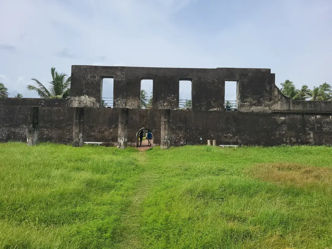
A modest square of laterite walls behind a fishing village north of the city — the English East India Company’s first settlement in Kerala, and the site of one of the earliest organised armed revolts against English power anywhere in India. In April 1721 the Company’s chief factor and around a hundred and forty men were killed in a single afternoon, and the survivors were besieged here for six months. Almost nobody stops.
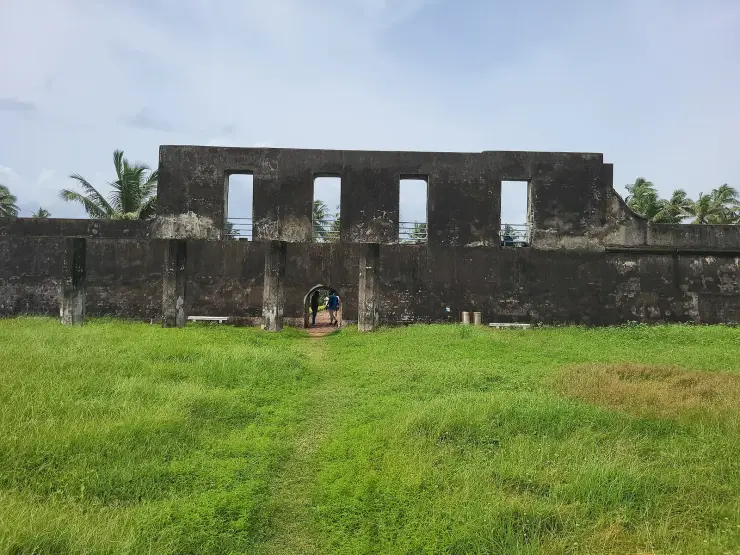
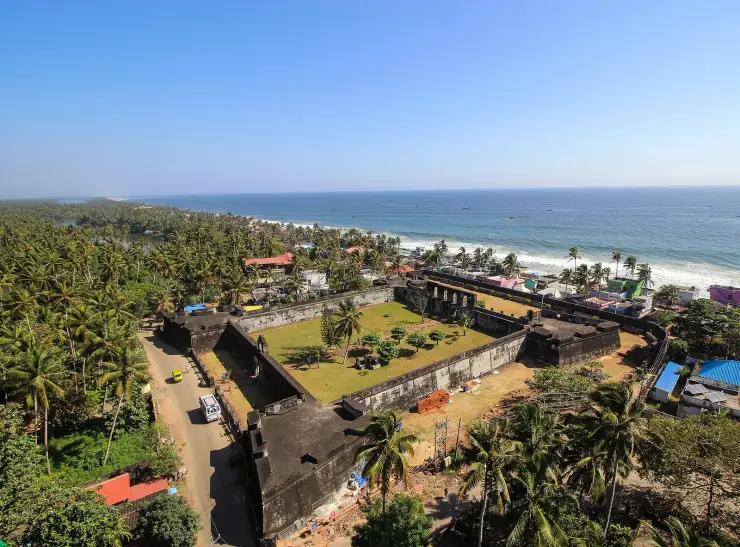
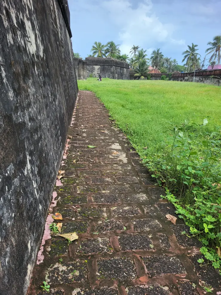
Anchuthengu — Anjengo to the English, and the name still appears that way in older sources — sits on a narrow strip of land between the sea and the Anchuthengu backwater, about 35 km north of Thiruvananthapuram. The fort is small, square and plain: laterite walls, bastions at the corners, a modest interior. It does not look like the site of anything.
Its importance is about being first on this coast. The Queen of Attingal granted the English East India Company the right to build a factory and fort here — the grant is usually dated 1694, though some accounts trace English permission to settle back to 1684 — and the fort went up between about 1694 and 1698. It was the Company's first settlement in Kerala and among the earliest anywhere in India, on a coast where the Portuguese and the Dutch had been established for generations. Standing in a small laterite square in a fishing village and registering that this is where the English began in Kerala takes a moment.
The name is usually explained as anchu (five) and thengu (coconut palm) — five coconut trees — from a local tradition about the grant of land. Like most such etymologies it is told rather than documented, but it is universally repeated locally.
The event the fort is remembered for is the Attingal Revolt, or Attingal Outbreak, of April 1721. The Company's chief factor, William Gyfford, took the annual presents inland to the Queen of Attingal himself, refusing to route them through the Ettuveettil Pillamar — the eight-house chieftains through whom such dealings customarily passed. On the return journey his party was attacked on the water near Attingal and almost all of it killed; the survivors at Anchuthengu were then besieged in the fort for about six months, held by a gunner named Samuel Ince, until relief came from the Company's settlement at Tellicherry. The revolt matters because of how early it is: 1721, thirty-six years before Plassey, and one of the first organised violent rejections of English presence in India.
Two people born in this village ended up inside English letters, which for a settlement of this size is remarkable. Robert Orme was born at Anjengo in 1728 — seven years after the massacre, in the fort where it happened — and became the East India Company’s own historiographer, author of the standard eighteenth-century history of the British in India. Eliza Draper was born here in 1744 and became the correspondent and muse of Laurence Sterne, the Eliza of his letters and journal. The Company’s official historian and one of the best-known women in eighteenth-century English literary correspondence were both born on this strip of sand, sixteen years apart, in a place holding a few dozen Europeans at a time.
Beside the fort stands a small cemetery of English graves, weathered and legible in places, and the whole site is a short walk from the beach and the backwater. The Anchuthengu lighthouse is nearby. It is a quiet, slightly forlorn place, and it repays about an hour — which is roughly forty-five minutes more than most people give it.
The claim attached to this fort almost everywhere — that it was the East India Company's first territorial possession in India — does not survive a calendar. Fort St George at Madras was begun in 1639 and largely complete by 1644. Bombay passed to the Company in 1668. The grant at Anchuthengu is dated 1694 and the fort was built between about 1694 and 1698, half a century after Madras. The accurate and still substantial statement is the one the sources actually make: this was the Company's first settlement in KERALA, on a coast the Portuguese and the Dutch had already worked for generations, and it is among the earliest English footholds in India. Anjengo's real distinction is regional, and it does not need inflating.
The casualty figure is not settled either, and the confident ‘140 Englishmen’ in general circulation papers over a real uncertainty. Published accounts give 140, 141 and 151. A letter of 1731 refers to William Gyfford and ten Britons; another of the same year to 150 soldiers, which on the most straightforward reading means the dead included a substantial number of Indian troops in Company service whose names nobody recorded. The most defensible summary is that a party of around 140 was destroyed, that its English component was small, and that the round number owes its precision to repetition rather than to a source.
The trigger is usually given as a general resentment of the English, which is true but imprecise enough to miss the point. The immediate cause was protocol. Gyfford insisted on carrying the annual presents to the Queen of Attingal directly, refusing the demand of Kudamon Pillai and the other Ettuveettil Pillamar that the gifts pass through them. In a polity where the chieftains’ standing was constituted by exactly such intermediation, going round them was not a discourtesy but a claim about who held authority. Behind it sat the material grievance: the Company’s monopolisation of the pepper trade and the low prices it paid for it.
One question the accounts do not resolve, and should not be made to, is where the Queen of Attingal herself stood. She had granted the English their settlement; her chieftains destroyed their embassy. Historians differ on whether the attack was made with her prior knowledge or consent, and the evidence does not settle it. That ambiguity is not a gap in the record so much as an accurate picture of how power worked in Attingal: a Rani whose authority was real but exercised through the Ettuveettil Pillamar, in a system where a queen could grant a right that her chieftains could then make unenforceable. The English read the arrangement as a monarch with subordinates, and were wrong about it, which is a large part of why 1721 happened at all.
And the outcome inverted the intent, which is the part worth carrying away. The revolt was a rising against the Company’s power. What followed the relief of the fort was a settlement under which the Company secured a pepper monopoly, compensation for its losses, and the right to erect factories where it chose. A rebellion against English commercial dominance ended by formalising and extending it. That is a pattern the following century would repeat across India, and it happened here first, on a strip of sand between a backwater and the sea.
The Queen of Attingal granted the English East India Company the right to build a factory and fort at Anchuthengu — the grant is generally dated 1694, with some accounts tracing English permission to settle back to 1684 — and the fort was erected between about 1694 and 1698. It was the Company's first settlement in Kerala, and served as a trading post and signalling station on the Travancore coast. It later played a part in the Anglo-Mysore Wars, and was abandoned by the Company in 1813 as an unnecessary expense.
In 1721 came the Attingal Revolt: a Company party travelling inland with the annual presentation to the Queen of Attingal was attacked and killed — around 140 men is the figure usually cited — after which the remaining Company personnel were besieged in the fort for several months until relief arrived. It is among the earliest organised armed risings against English authority in India.
The settlement that followed the revolt is the part most accounts omit, and it reversed the rising's effect. Once the siege was relieved by reinforcements from the Company's station at Tellicherry, the terms secured by the English included a monopoly of the pepper trade, compensation for the losses of 1721, and the right to erect factories at places of their own choosing. The grievance that had produced the attack — the Company's control of pepper and the prices it paid — was answered by giving the Company more of it.
Anchuthengu declined in importance through the eighteenth and nineteenth centuries as the Company's centre of gravity moved elsewhere, and the settlement returned to being a coastal village. Two people born here in that period nonetheless reached the English record: Robert Orme, born 1728, who became the Company's historiographer, and Eliza Draper, born 1744, Laurence Sterne's correspondent. The lighthouse beside the fort belongs to the later, quieter phase, when what mattered about this strip of coast was no longer trade or territory but keeping ships off it.
The site today comprises the fort, an adjoining English cemetery and the nearby lighthouse, on the strip between the Arabian Sea and the Anchuthengu backwater.
It is the site of the English East India Company's first settlement in Kerala, granted by the Queen of Attingal and fortified in the 1690s.
The Attingal Revolt of 1721 happened here, one of the earliest organised armed risings against English power in the subcontinent, and it is barely known outside Kerala.
The English cemetery beside the fort is atmospheric and largely unvisited.
The setting — a narrow strip between the open sea and a backwater, with a working fishing village around it — is lovely and completely uncommercialised.
It combines easily with Varkala, about 12 km north, or with Kappil Beach on the same stretch of coast.
Robert Orme, who wrote the standard eighteenth-century history of the British in India, and Eliza Draper, Laurence Sterne's Eliza, were both born in this village.
Road km to Thiruvananthapuram; ghat roads and traffic vary — allow extra.
November to February and early mornings are best for walking; avoid midday heat where possible.
Live forecast loads in your browser.
Sun and moon are calculated for this location and shown in IST. Photography windows are the hour around sunrise and sunset; the sunset bearing is degrees clockwise from true north. Moon phase is accurate to about half a day.
Browse listed stays, food, activities, sights, shops and rentals around Anchuthengu Fort. Check each listing’s locality and contact the business directly for current arrangements.
Sree Padmanabhaswamy Temple anchors East Fort with its monumental entrance and Travancore associations. Worship entry follows admission, dress and device rules; the vaults are not a public exhibition.
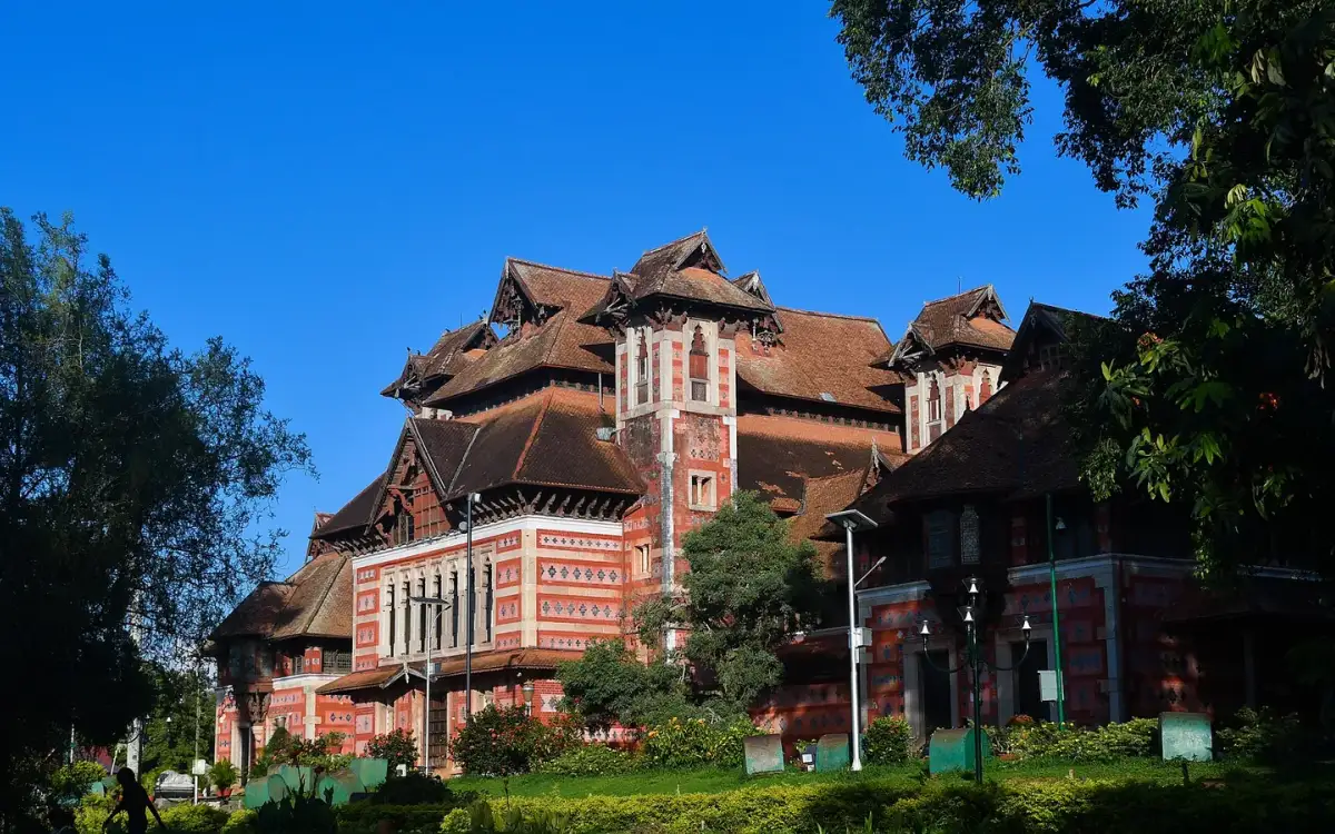
Napier Museum combines a distinctive landmark building with art and historical collections in Museum Park. Give the galleries their own visit; zoo and art-gallery tickets are separate.
Kanakakunnu Palace and its grounds add a green pause to a museum-side city outing. Cultural events follow their own programme; this is not a walk-in royal collection museum.
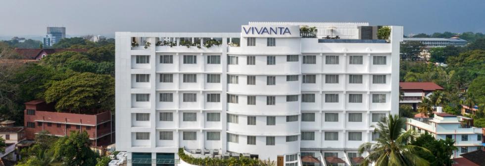
Central business hotel in Thiruvananthapuram city. Punnen Road, Statue, Thiruvananthapuram, Kerala 695039, India.
Vivanta Thiruvananthapuram is a hotel on Extra Police Road at Palayam. Choose the central address for city outings, comparing room packages and onward transfers for your dates.
Thiruvananthapuram International Airport serves the city and southern Kerala’s coast. Match your airline’s terminal to your pickup point when booking an airport-side stay or meeting a driver.
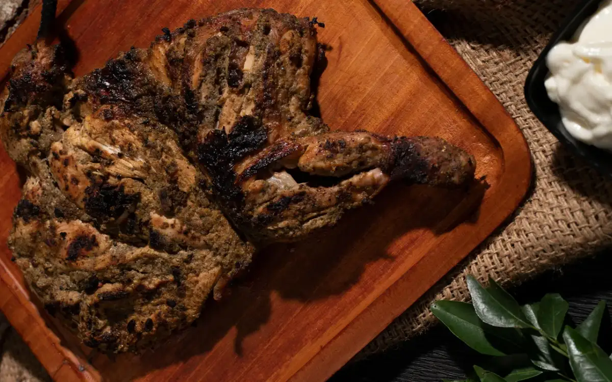
Zam Zam’s Palayam restaurant is opposite the MLA Hostel. Use this branch’s menu and contact for a city meal or group booking; the chain has other locations.
Mango Cabs lists an Edapazhanji office and advertises city taxis, airport transfers, outstation cabs and vehicle hire. If you are arriving at Thiruvananthapuram airport, give the operator your terminal, flight time, destination and luggage count before asking for a vehicle. For a Kovalam, Varkala or longer trip, request a written quote covering the exact route, tolls, parking, waiting time and return journey. The website lists vehicle categories, but the car and fare for your date need direct confirmation.
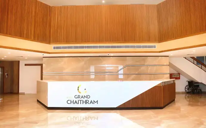
KTDC Grand Chaithram is a Budget City Hotel at Thampanoor, opposite Thiruvananthapuram Central railway station and beside the bus terminal. Choose it for a rail or bus arrival, with beach visits arranged as separate outings.
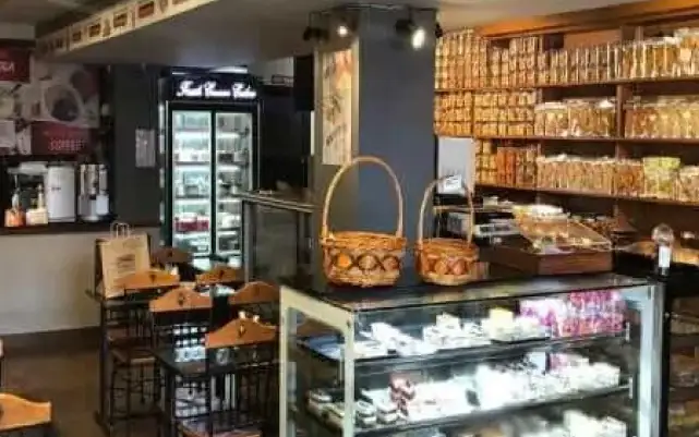
Trivandrum bakery with 24+ years of heritage that also runs Atelier by Ambrosia, a European fine-dining restaurant.
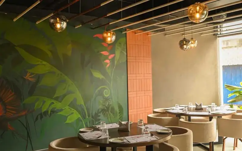
Restaurant (regional, north indian) on Venpalavattom, Near Lulu Mall in Thiruvananthapuram City. Regional, North Indian, AC.
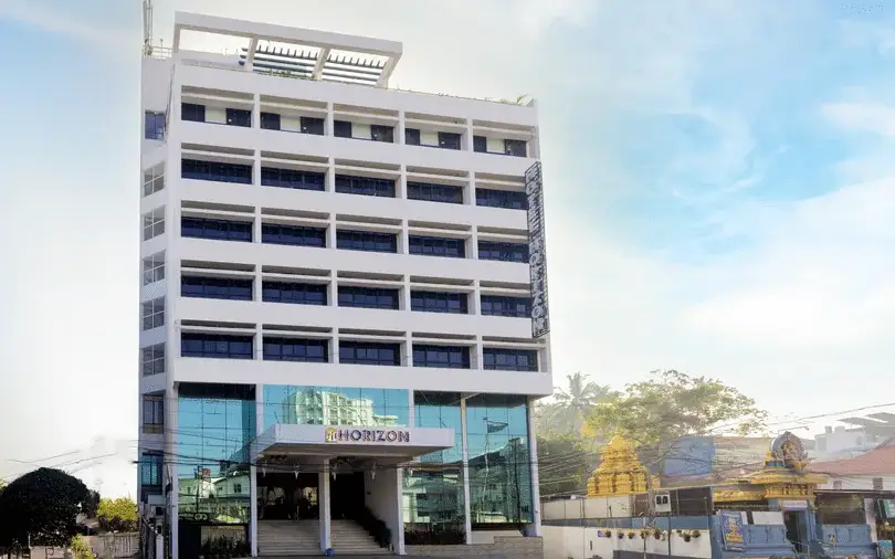
A city hotel at Aristo Junction, Thampanoor, a short walk from Trivandrum Central Railway Station and Sree Padmanabhaswamy Temple.
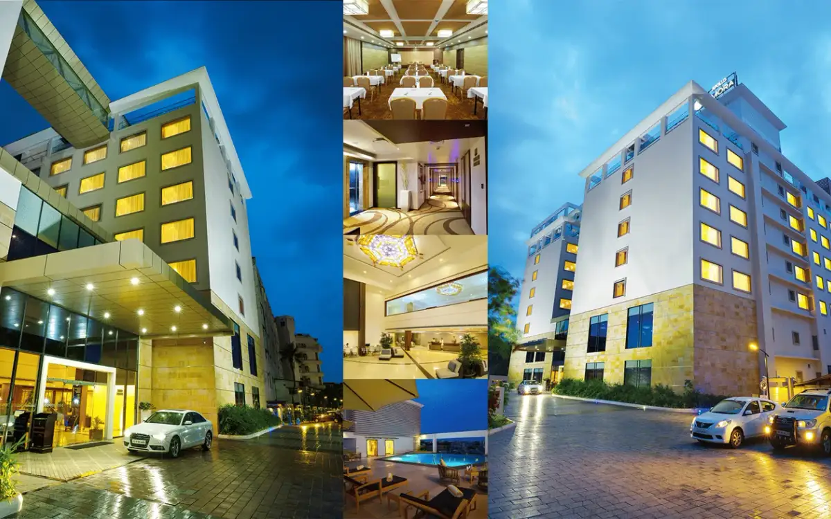
Dimora is opposite Thiruvananthapuram Central railway station at Thampanoor. Its operator offers Standard and Deluxe rooms and suites, with vegetarian dining at Vega Dimora and multi-cuisine dining at Cafe Hive. Compare the room category and arrival entrance, then confirm the meal plan with the hotel.
Mothers Veg Plaza is a vegetarian restaurant at Bakery Junction near the Russian Cultural Centre in Palayam, Thiruvananthapuram. Its website highlights Kerala sadya and a range of dosas. Choose a banana-leaf meal or ask about the dosa menu for your visit.
BR Regency is at Chenthitta, Valiyasalai, in the Chalai area. Its operator lists Classic Executive AC, Superior Deluxe AC and Suite AC rooms with attached bathrooms. Compare the room category and parking needs, and ask separately about any paid airport transfer.
Avenue Kowdiar appears as a serviced villa in Kerala Tourism’s historical provider list, at Kowdiar in Thiruvananthapuram. Current room and booking details need confirmation.
Multi-cuisine restaurant at Apollo Dimora, opposite Trivandrum Central railway station in Thampanoor. Paired with the hotel's pure-veg Vega Dimora next door.
Villa Maya is a restaurant on Airport Road at Injakkal in Thiruvananthapuram. Its Kerala Tourism owner-submitted listing describes a dining concept shaped by Kerala’s spice-trade connections. Consider it for a planned meal and confirm the current menu and dining setting before reserving.
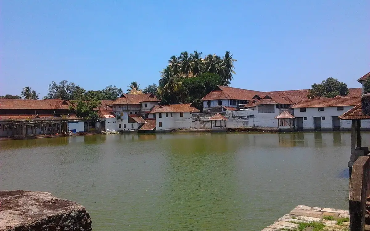
The temple tank beside Sree Padmanabhaswamy at East Fort — a ritual bathing tank in active use, not a park pond. Conduct and dress expectations apply this close to the temple.
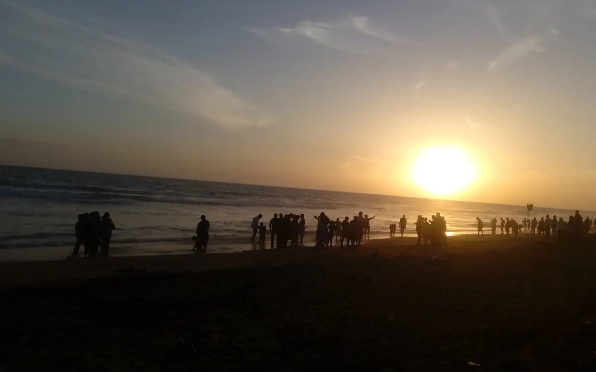
The capital’s own evening beach, minutes from the airport, with Kanayi Kunhiraman’s 26.5-metre Jala Kanyaka mermaid sculpture at one end. An open Arabian Sea shore — treat it as a sunset walk, not a swimming beach.
Anies Garden is a family homestay at Kodiyattu House on NCC Road in the Peroorkada–Ambalamukku area of Thiruvananthapuram. Its own website offers Standard and Deluxe rooms, with home meals and transfers described as available on request. Confirm the category and inclusions for your dates.
Restaurant (regional) on Kuttikad Lane in Thiruvananthapuram City.
The Russian Cultural Centre is at Gorky Hills on S. Roerich Road near Vanross Junction in Thiruvananthapuram. Kerala Tourism lists it as a cultural centre, while the Ministry of External Affairs directory publishes a Russian honorary-consulate contact at the same locality.
Restaurant (south indian) on kuravankonam, Opposite Surya Medicals in Thiruvananthapuram City.
Book with the place itself. India’s cyber-crime coordination centre warned in April 2025 that convincing copies of hotel and pilgrimage booking sites are being pushed through sponsored search and social ads, taking payment for rooms the property never hears about. Use the contact and source details on each profile to confirm the exact business and booking channel. A directory entry or map pin alone does not establish an operator’s identity or current availability. Roampedia takes no commission and does not collect booking payments. If a booking page reached you through an ad, check the address bar against the property’s own site before you pay. Fraud can be reported on cybercrime.gov.in or on 1930.
Find food, accommodation and activities across Thiruvananthapuram city. Browse the guides for places to eat, stay and explore along your route.
22 more places around Thiruvananthapuram city. Open a guide to plan the visit and onward journey.
15.7 km · straight line
The ancestral palace compound associated with Raja Ravi Varma at Kilimanoor; visitor access concerns the working family estate and must be confirmed before travel.
A major coastal Muslim pilgrimage landmark south-west of the city centre, known for the Beemapally Uroos and the tombs honoured within the shrine complex.
17.2 km · straight line
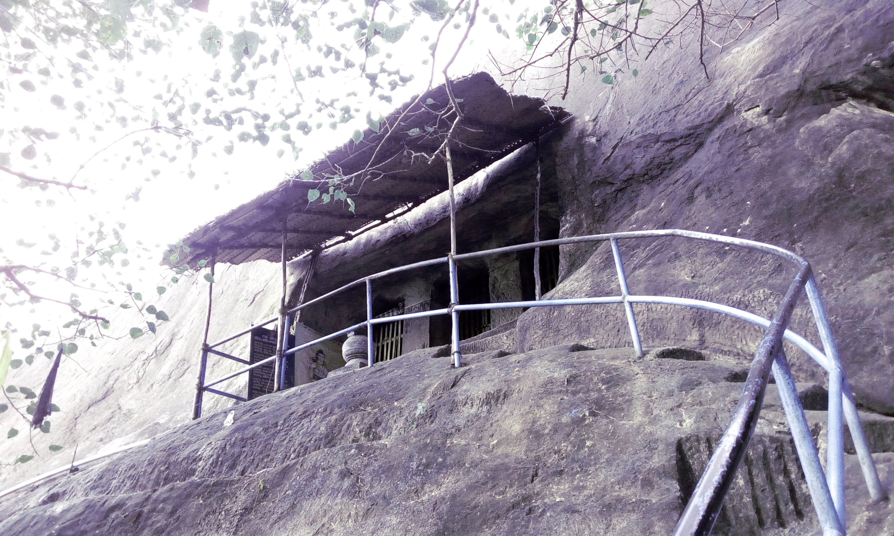
Madavoorpara combines a rock-cut Shiva shrine with a rocky hill landscape on Thiruvananthapuram’s northern edge. The temple and the climb offer different reasons to visit, and both deserve time.
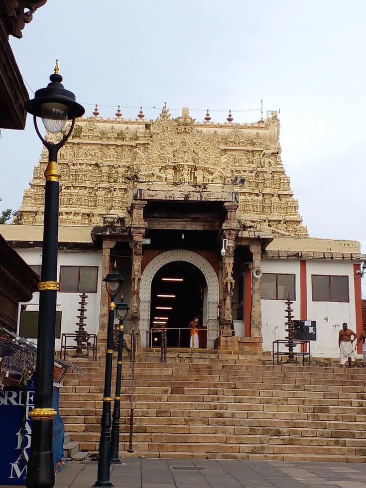
Major Vishnu temple and one of Kerala’s most important pilgrimage landmarks; strict entry and dress rules apply.
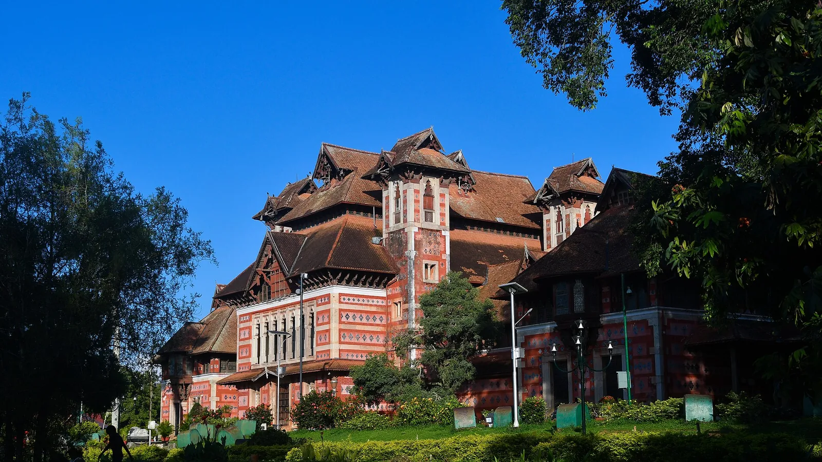
Robert Chisholm’s 1880 Indo-Saracenic museum in the Museum Park — a polychrome landmark holding Chola and Kerala bronzes, ivories and temple carts, with the Sree Chitra Art Gallery alongside it.
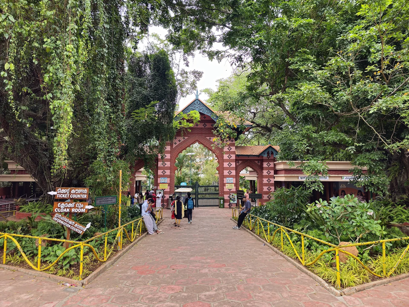
Old trees, winding paths and animal enclosures share the Museum Park at Thiruvananthapuram Zoo, also known as Trivandrum Zoo. Allow time for the garden as well as the collection, with the Napier Museum close by.
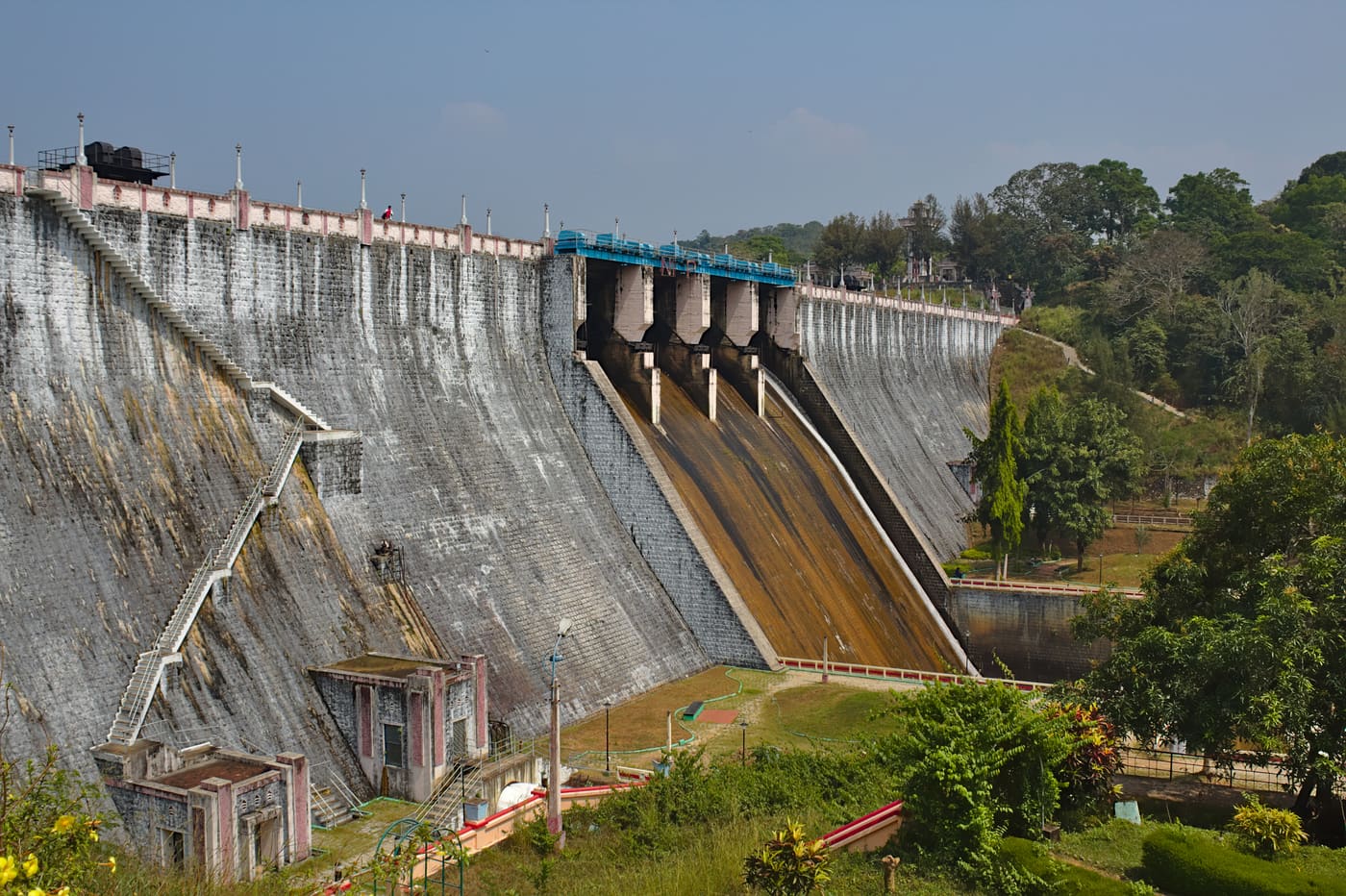
Guided forest trekking in the Neyyar Wildlife Sanctuary near the Agasthyamala foothills, south-east of Thiruvananthapuram.
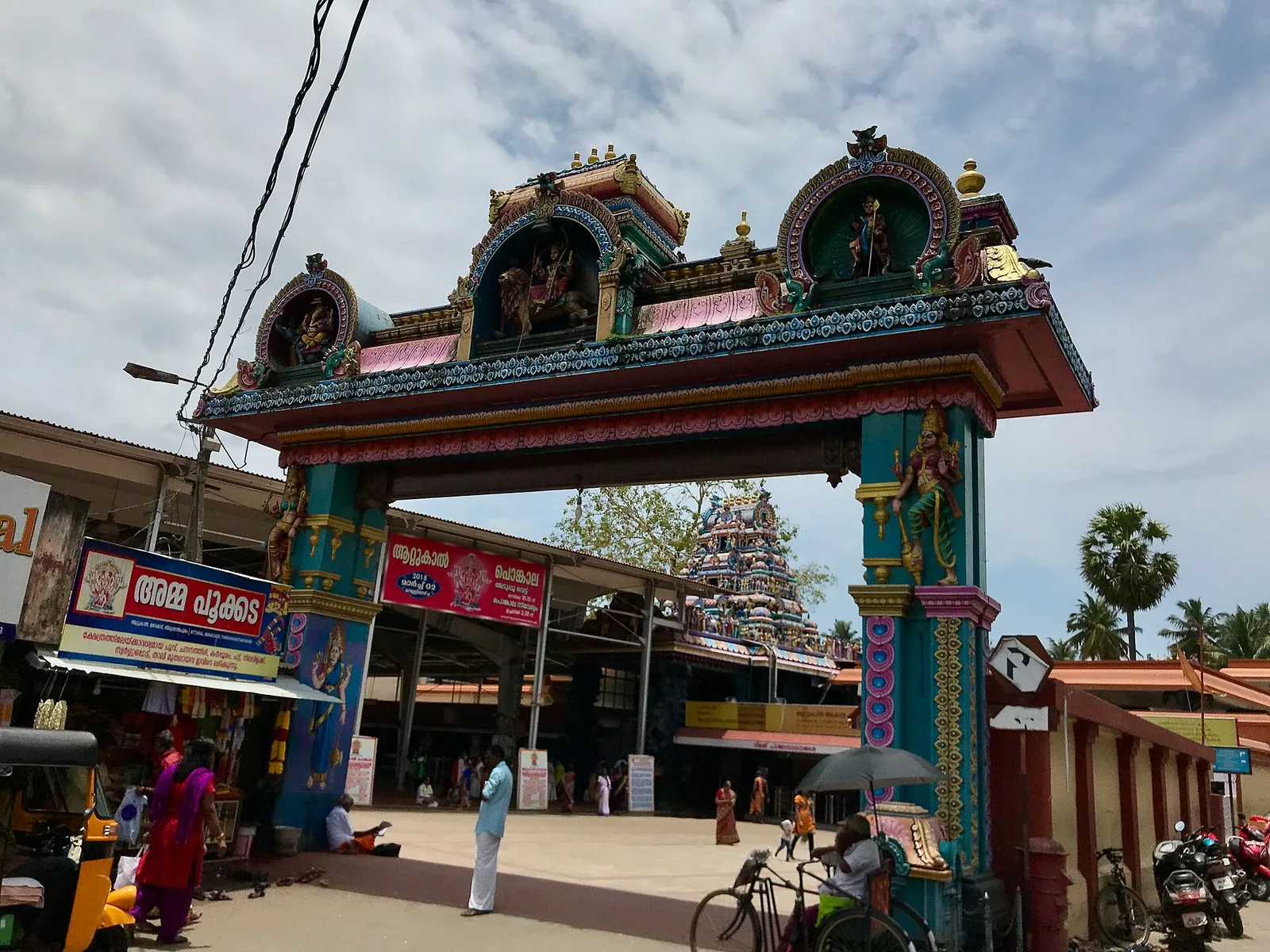
Famous Devi temple in the city, home of the Attukal Pongala — recorded as the largest annual gathering of women.
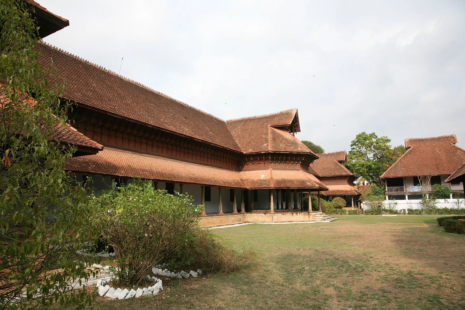
A row of carved wooden horses gives Kuthiramalika its name. Beside Sree Padmanabhaswamy Temple, this Travancore palace museum brings timber craftsmanship and royal collections into one compact visit.
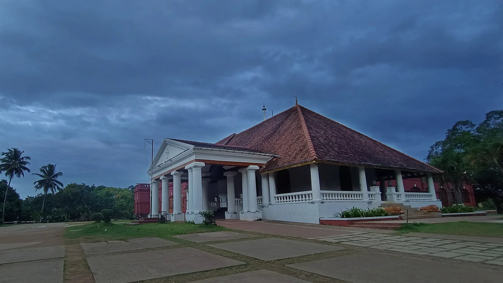
Kanakakunnu puts a Travancore palace among gardens and cultural venues near Thiruvananthapuram’s Museum Park. Come for an evening walk or choose a date around a performance.
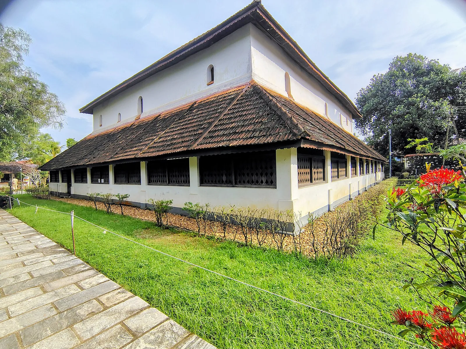
Koyikkal Palace at Nedumangad houses folklore and coin collections inside a traditional Kerala palace. Everyday objects, instruments and currency make this a more intimate museum stop than a grand royal gallery.
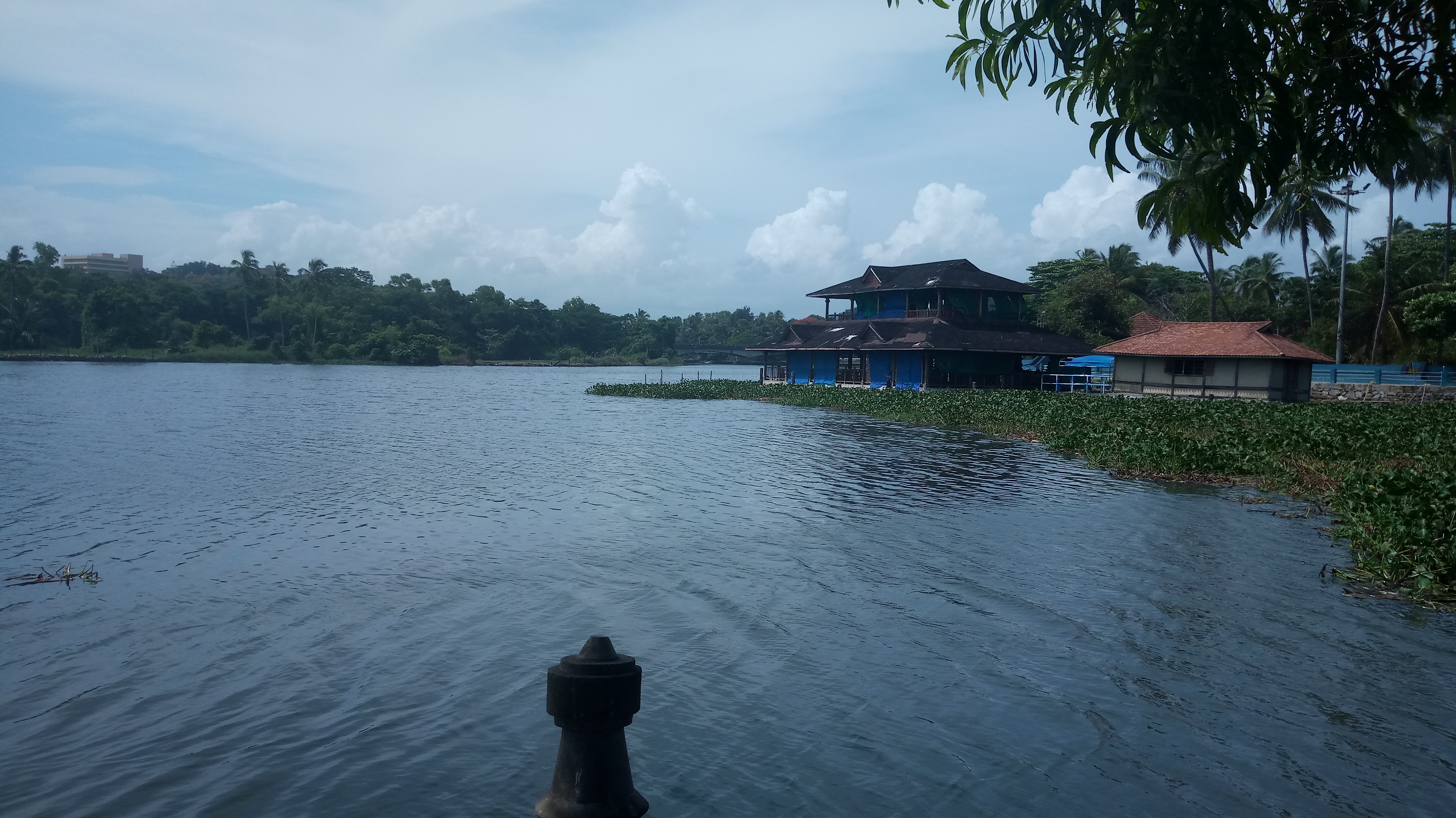
12.5 km · 26 min drive
Veli Tourist Village brings lake views, gardens and boating to the coast near Thiruvananthapuram. It is a family outing at the meeting of Veli Lake and the Arabian Sea.
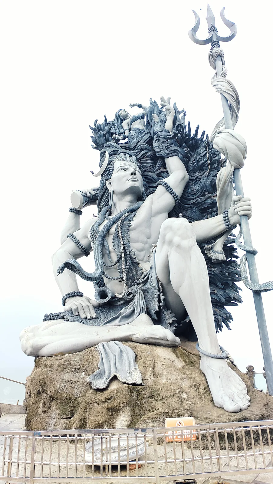
A clifftop seaside temple at Adimalathura near Vizhinjam, known for a giant Gangadhareswara (Shiva) sculpture.
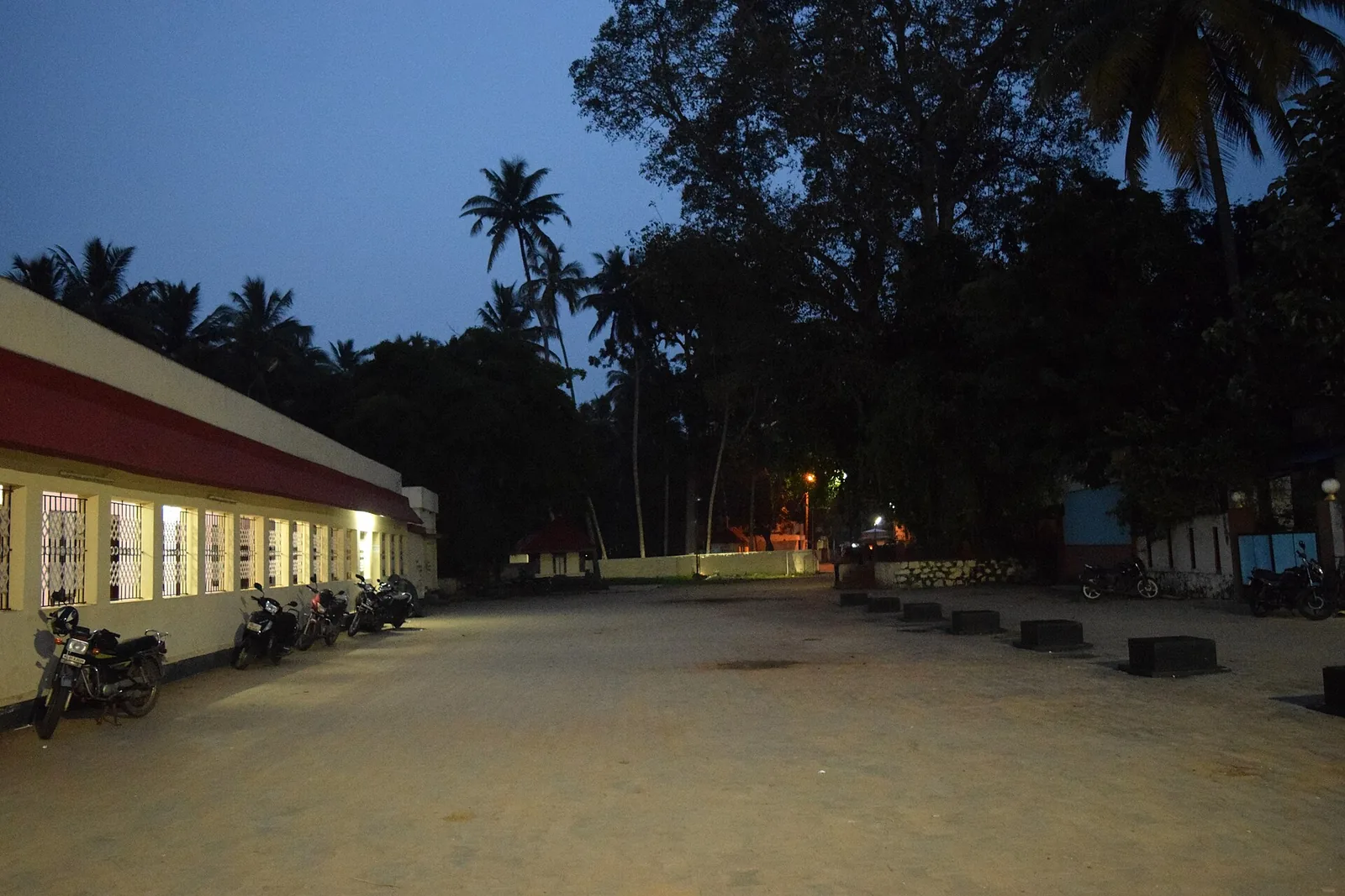
An ancient temple on the Karamana river, the district’s main site for ancestral (bali) rituals and rare for its Parasurama deity.
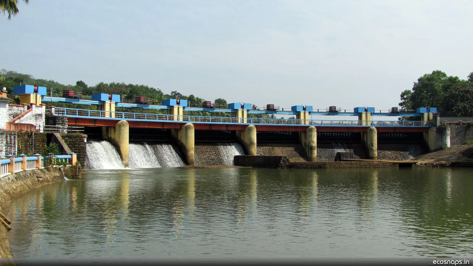
A reservoir, riverside temple and small park on the Karamana river north-east of the city, a popular local picnic spot.
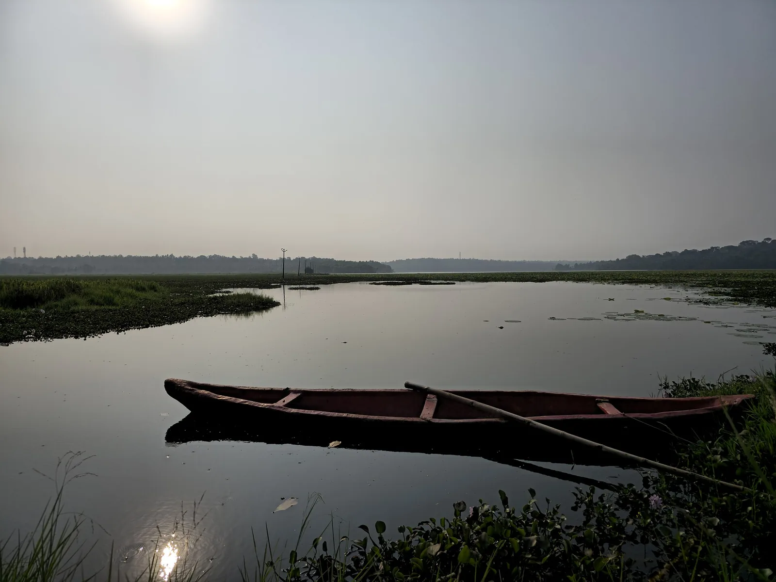
A freshwater lake in Thiruvananthapuram district, with the Punchakari–Vellayani wetlands nearby offering seasonal birdwatching.
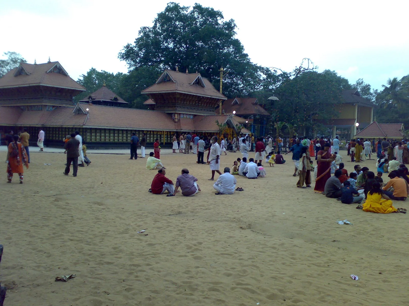
34.4 km · 49 min drive
A renowned Devi temple at Chirayinkeezhu, famous for the Kaliyoot festival and the Sarkara jaggery legend.
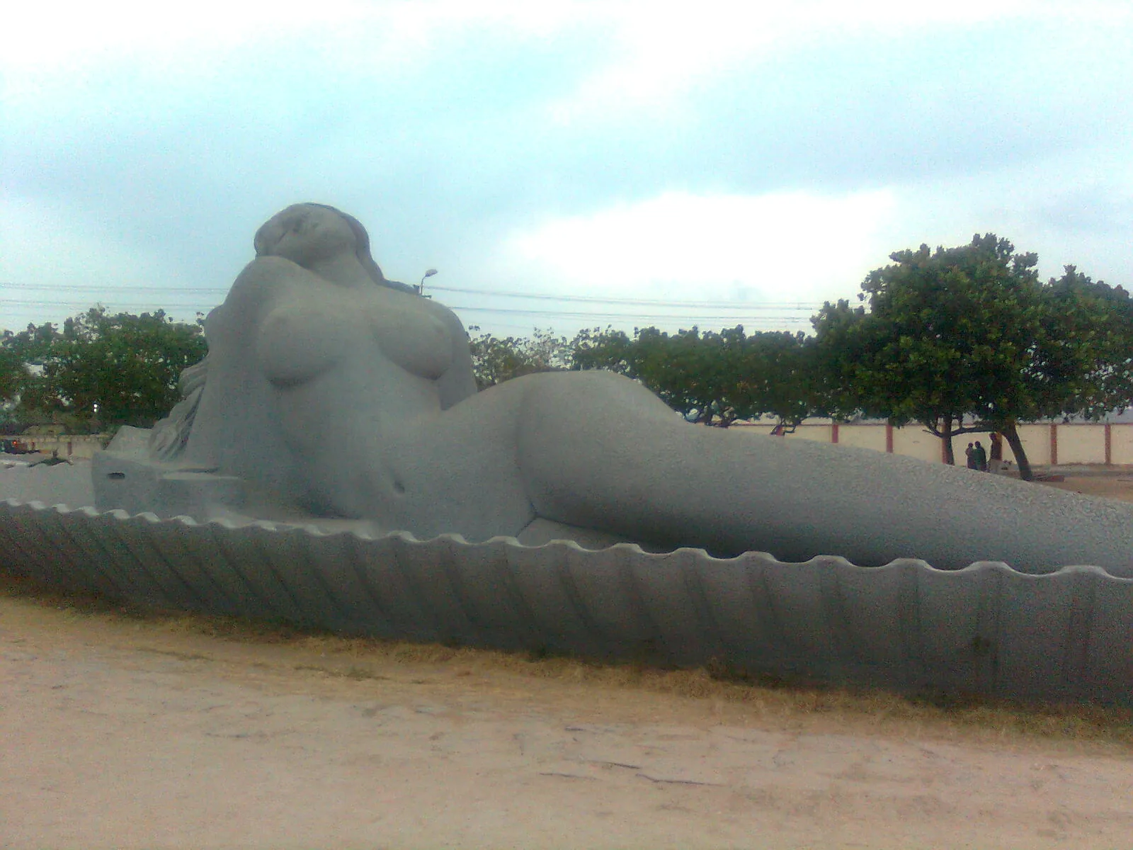
10.8 km · 24 min drive
Shanghumukham is Thiruvananthapuram’s evening shoreline: an open sea horizon, airport-side access and Kanayi Kunhiraman’s reclining mermaid sculpture. Come for a coastal walk and the changing light.
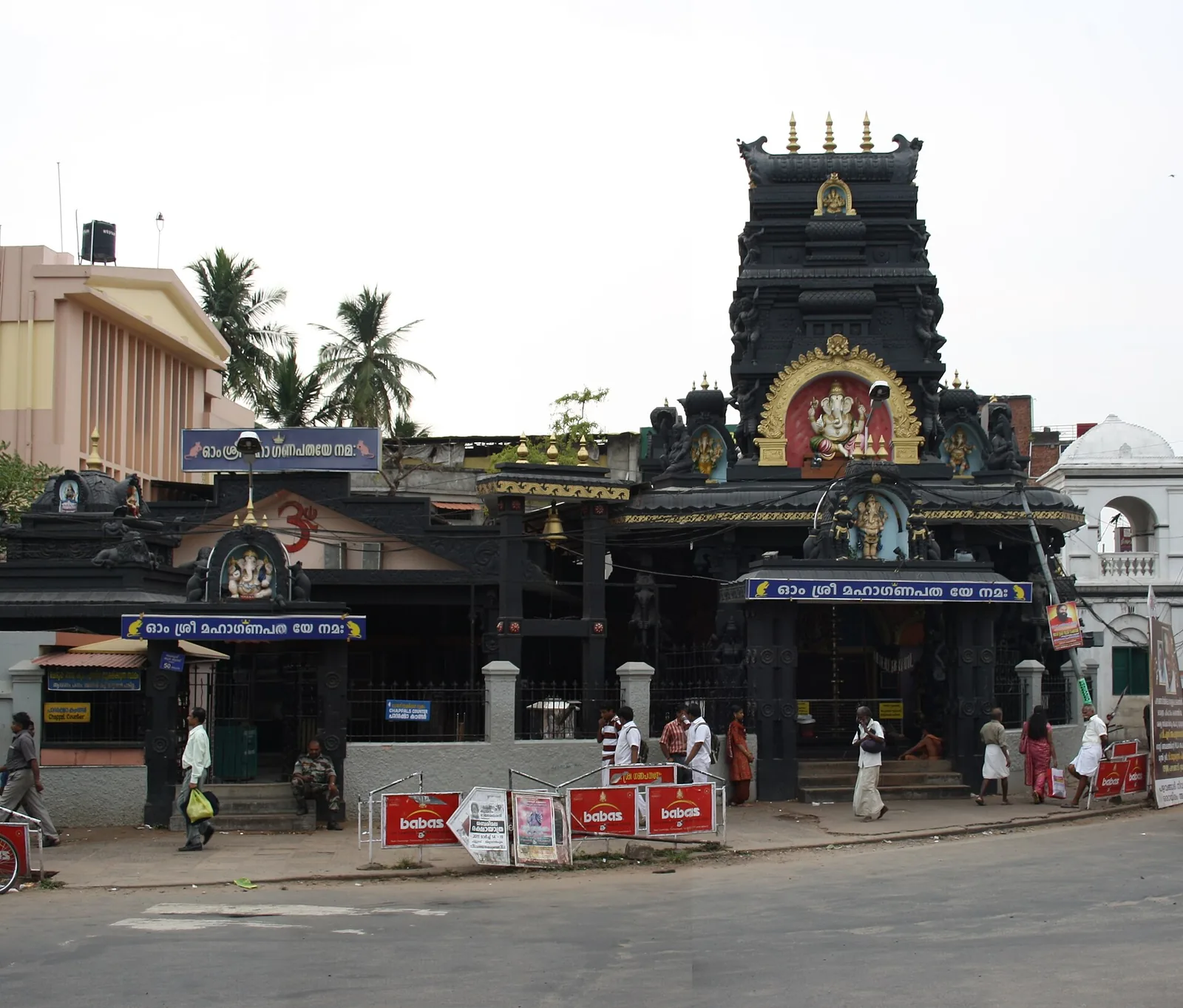
A popular Ganapathy temple near East Fort, known for the coconut-breaking offering; run by the defence services.
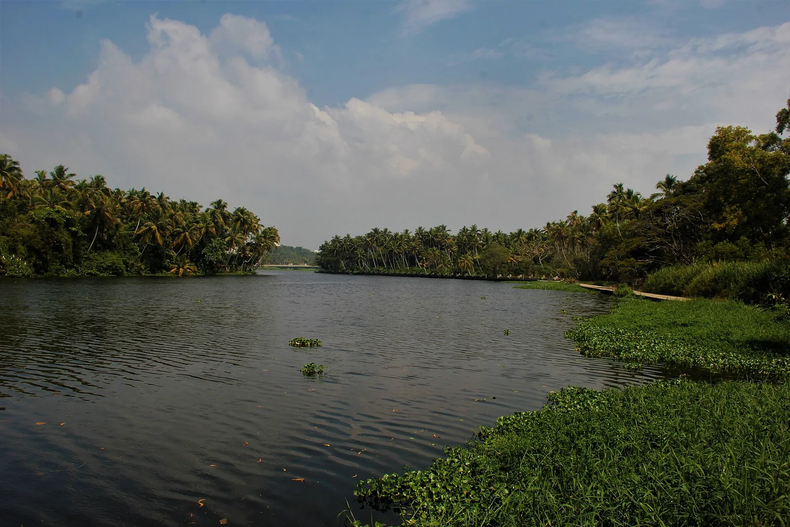
14.4 km · 28 min drive
A calm backwater and boating spot near Veli with a lakeside tourist village and children’s park.
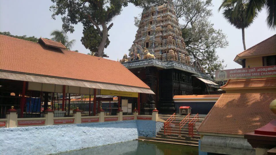
11.4 km · 26 min drive
A well-known Chamundi Devi temple on the western edge of the city, busy during its festival season.
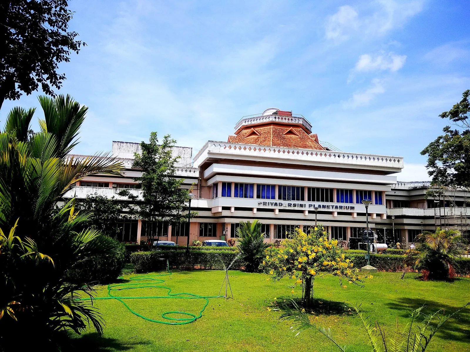
A hands-on science museum with the Priyadarshini Planetarium, popular with families and school groups.
Roampedia is commission-free — own or know a stay, eatery, guide or shop near Anchuthengu Fort? Submit public business details for review.
Add a nearby businessEntry: Free (open heritage site).
At Anchuthengu (Anjengo) near Attingal, about 30 km north of the city off the coastal road; reachable by bus or car.
If you are travelling by bus or ferry, check the return service with the operator before setting out. Leave time to reach the stop or jetty after your visit.
Ask at the bus stand for the time of the last service back, not the next one. If you miss it, an auto or app cab is the fallback — agree the fare before you get in.
If you need step-free access, contact the site before travelling. Ask about a level entrance, steps along the route, the nearest drop-off point, seating and accessible toilets.
Published emergency and visitor-assistance contacts. For an immediate emergency, call 112. Shared Kerala contact sources checked 4 October 2026; publication does not establish a tested live response.
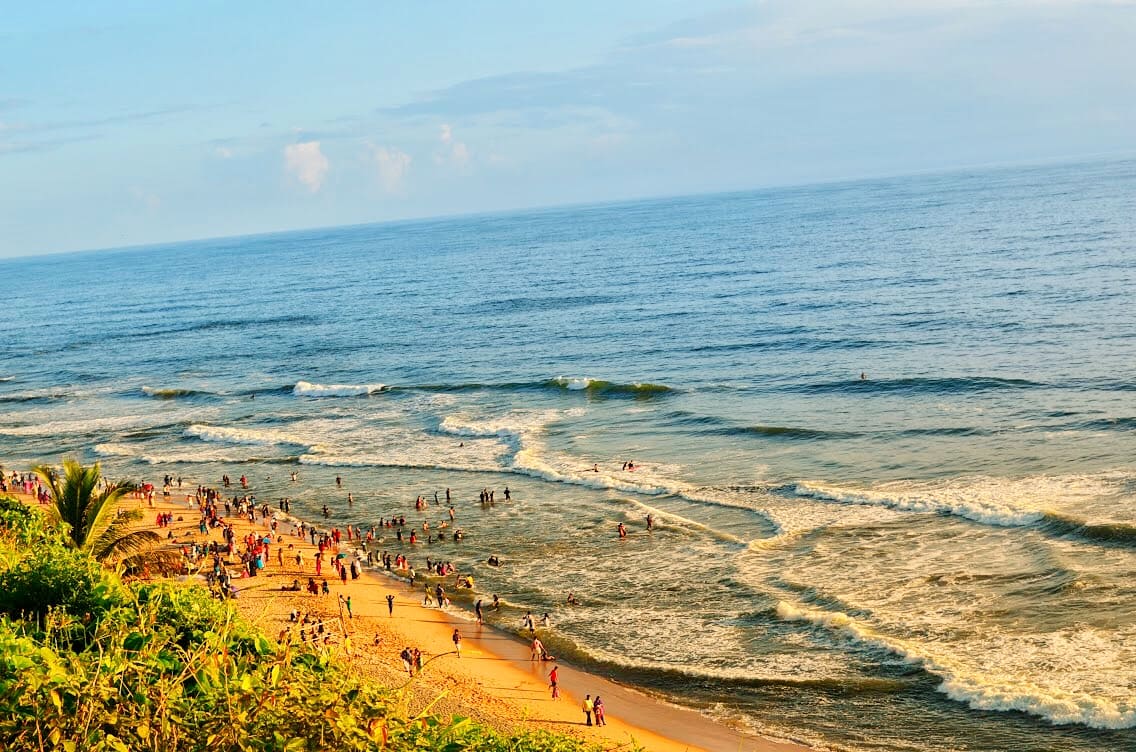
Red-cliff beach town with sea views, cafes, Janardanaswamy Temple and easy train access.
9.4 km · straight line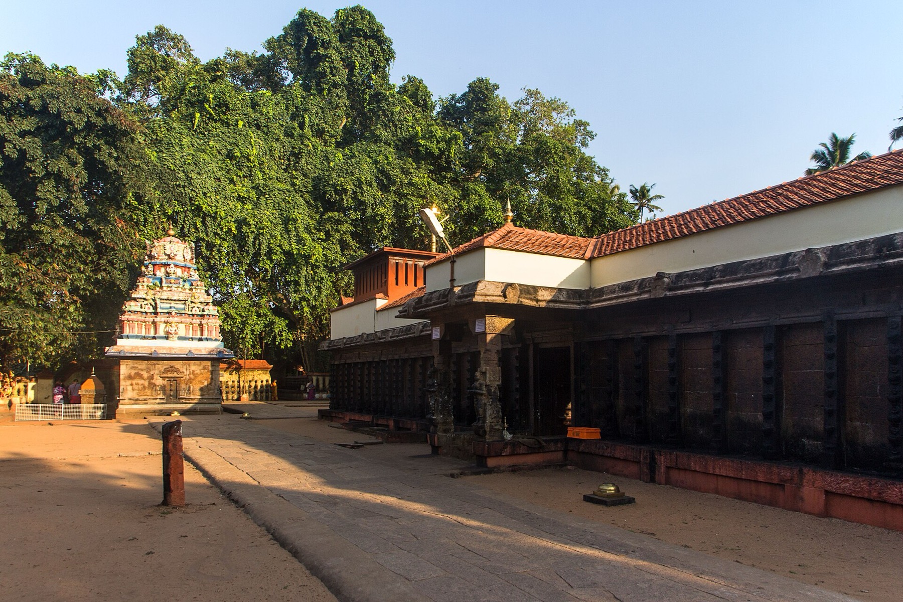
Broad steps lead from Varkala’s beach road to Janardanaswamy Temple. Dedicated to Vishnu, the hilltop shrine brings a quieter pilgrimage setting close to Papanasam’s busy shore.
9.8 km · straight line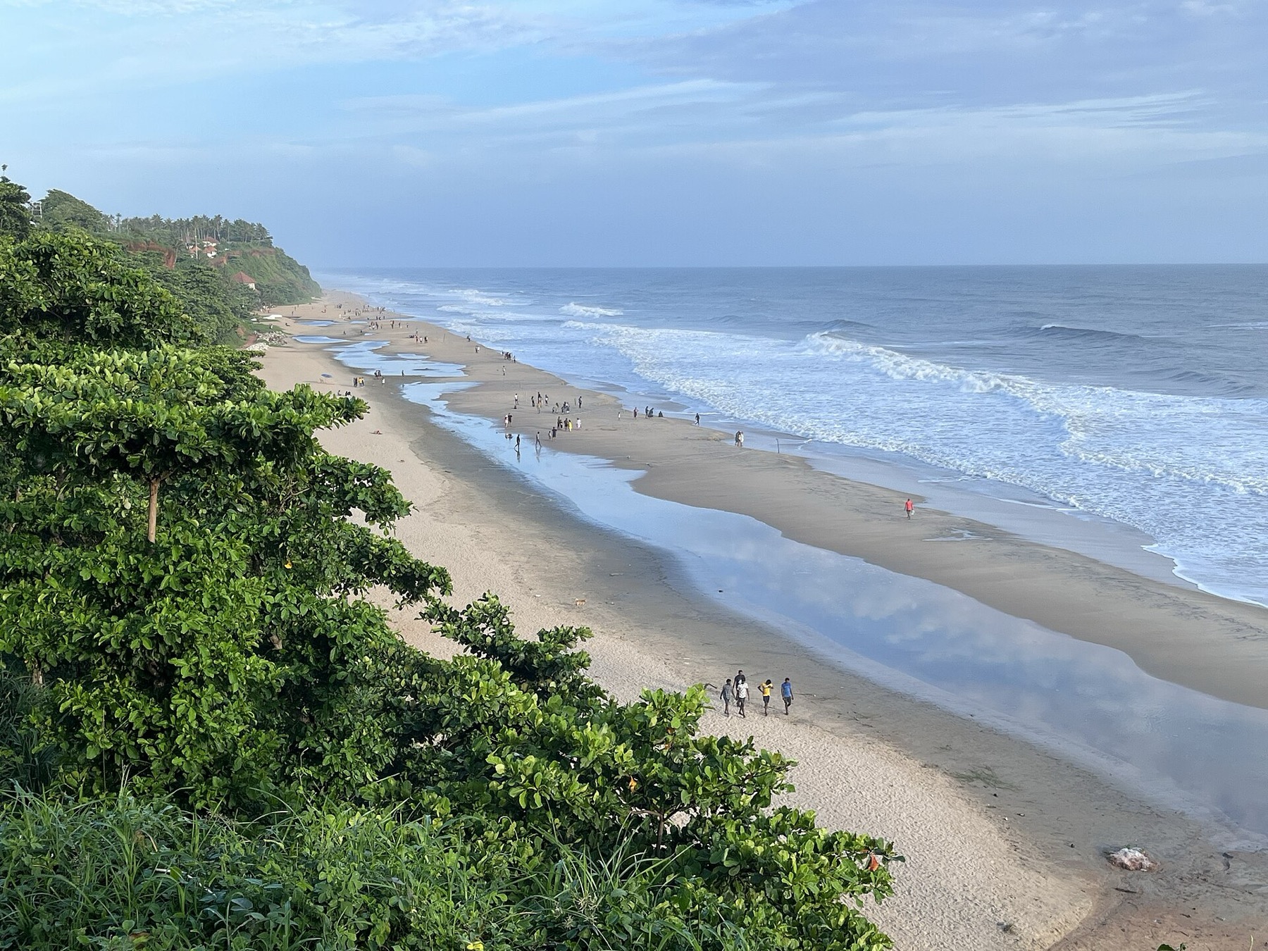
Papanasam is the sandy shore beneath Varkala’s cliff, with ancestral rituals as well as beach visitors. Come with room in your plans for both the landscape and the people using it.
10.1 km · straight line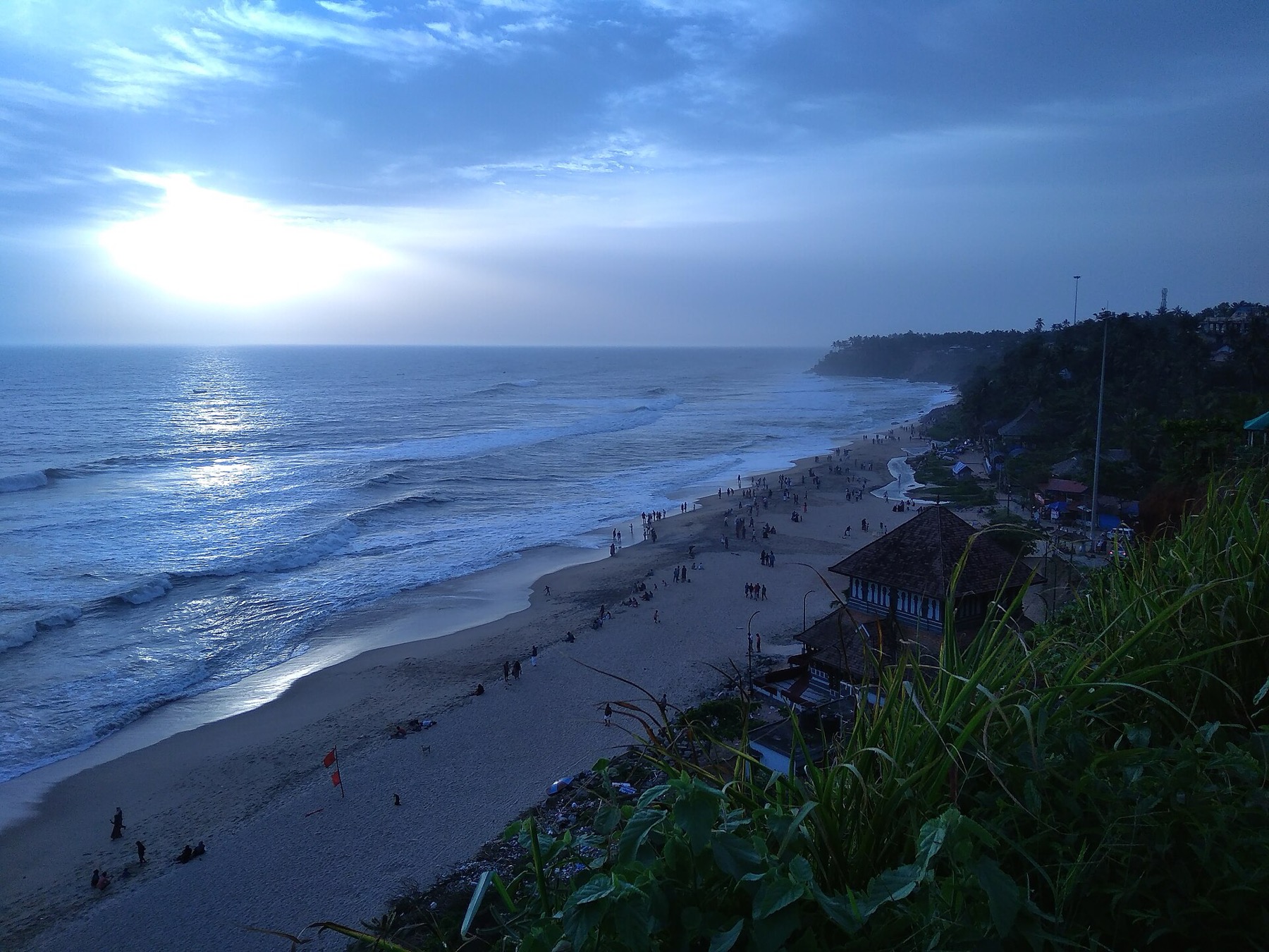
Varkala’s laterite cliff puts the Arabian Sea below your feet and cafés along your walk. The clifftop path and Papanasam Beach are connected experiences, reached at different levels.
10.7 km · straight lineShanghumukham is Thiruvananthapuram’s evening shoreline: an open sea horizon, airport-side access and Kanayi Kunhiraman’s reclining mermaid sculpture. Come for a coastal walk and the changing light.
10.8 km · 24 min driveA well-known Chamundi Devi temple on the western edge of the city, busy during its festival season.
11.4 km · 26 min driveVeli Tourist Village brings lake views, gardens and boating to the coast near Thiruvananthapuram. It is a family outing at the meeting of Veli Lake and the Arabian Sea.
12.5 km · 26 min driveA calm backwater and boating spot near Veli with a lakeside tourist village and children’s park.
14.4 km · 28 min driveThe ancestral palace compound associated with Raja Ravi Varma at Kilimanoor; visitor access concerns the working family estate and must be confirmed before travel.
15.7 km · straight line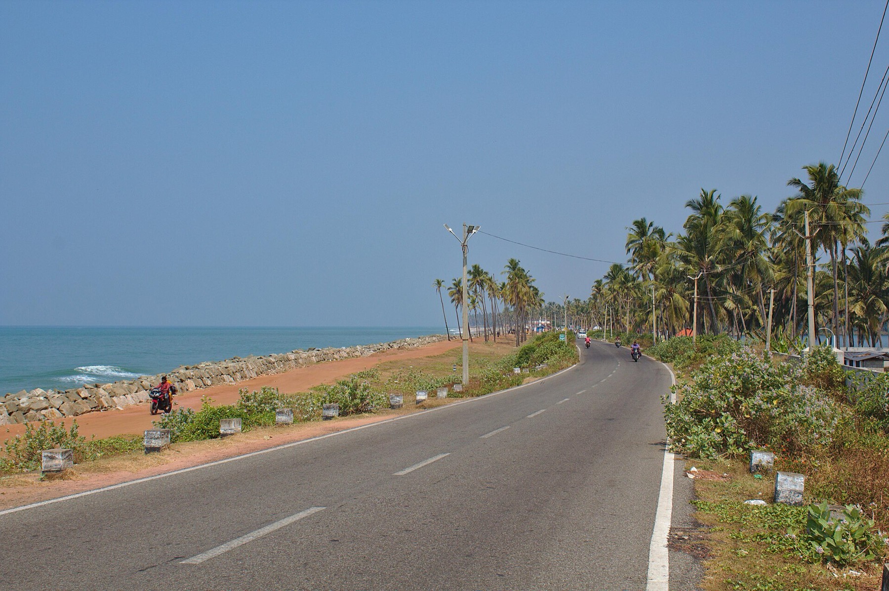
At Kappil, a narrow coastal landscape holds backwater on one side and the Arabian Sea on the other. The bridge and shore make a rewarding short trip north of Varkala.
16.3 km · straight lineMadavoorpara combines a rock-cut Shiva shrine with a rocky hill landscape on Thiruvananthapuram’s northern edge. The temple and the climb offer different reasons to visit, and both deserve time.
17.2 km · straight lineA renowned Devi temple at Chirayinkeezhu, famous for the Kaliyoot festival and the Sarkara jaggery legend.
34.4 km · 49 min driveRoad and walking figures are route estimates, with travel times dependent on access, traffic and conditions. Figures marked “straight line” show direct separation and do not describe a road or walking route. Fare estimates use Kerala’s 26 April 2022 auto/taxi notification and exclude waiting, night and applicable one-way surcharges. Confirm the current meter or operator quote before travelling. Routing: © openrouteservice.org by HeiGIT | Map data © OpenStreetMap contributors
It was the English East India Company's first settlement in Kerala, built between about 1694 and 1698 under a grant from the Queen of Attingal, and one of the earliest English footholds anywhere in India. It is also the site of the Attingal Outbreak of 1721, among the earliest organised armed risings against English authority in the subcontinent.
An armed rising in 1721 in which a Company party travelling inland to present the annual gifts to the Queen of Attingal was attacked and killed — around 140 men by the usual account — after which the survivors were besieged in the fort at Anchuthengu for months. It is one of the earliest organised revolts against English authority anywhere in India.
Anchuthengu is usually explained as anchu (five) and thengu (coconut palm) — five coconut trees — from a local tradition about the original land grant. Anjengo is the anglicised form used by the English and still found in older books and records; it is the same place.
The fort itself — a small square of laterite walls with corner bastions — an adjoining English cemetery, the nearby lighthouse, and the beach and backwater on either side of the strip. An hour covers it, and the aerial view from the lighthouse is the one that explains the site: a fortified rectangle on a narrow spit with open sea on one side and the backwater on the other, which is exactly why the Company wanted it and exactly why it could be cut off and besieged for six months.
Counter-intuitively, a great deal. After the siege was relieved by reinforcements from Tellicherry, the terms secured by the Company included a monopoly of the pepper trade, compensation for its losses, and the right to erect factories at places of its own choosing. A rising provoked by the Company's control of pepper ended by extending that control.
Two people of some note. Robert Orme (1728–1801), the East India Company’s historiographer and author of the standard eighteenth-century history of the British in India, was born here seven years after the Attingal Outbreak. And Eliza Draper, born in 1744, became the correspondent and muse of Laurence Sterne — the Eliza of his letters and journal.
The usual figure is around 140, but it is not settled: published accounts give 140, 141 and 151, and letters of 1731 mention on one hand William Gyfford and ten Britons, on the other 150 soldiers. The most defensible reading is that a party of roughly 140 was destroyed, that its English component was small, and that most of the dead were Indian troops in Company service whose names were never recorded.
It stayed in Company hands and played a part in the Anglo-Mysore Wars later in the eighteenth century, but its commercial importance faded as the Company’s centre of gravity moved elsewhere. In 1813 the Company abandoned it as an unnecessary expense, and the settlement went back to being a coastal village. The walls, the cemetery and the lighthouse are what survive.
Unresolved, and worth leaving that way. She had granted the English their settlement, and it was her chieftains who destroyed the embassy; historians differ on whether she knew or consented in advance, and the evidence does not decide it. The ambiguity reflects how Attingal actually worked — a Rani whose authority was real but exercised through the Ettuveettil Pillamar, so that a right she granted could be made unenforceable by them.
About 35 km north of Thiruvananthapuram on the coast, and roughly 12 km south of Varkala, so it is easiest as a stop on a trip between the two. Buses serve the village; a taxi is simpler if you are combining it with other stops.
November to February and early mornings are best for walking; avoid midday heat where possible.
Entry: Free (open heritage site). Timings: Indicative, confirm locally: open daytime; best in the morning or late afternoon.
Base yourself in Thiruvananthapuram city or a nearby town in Thiruvananthapuram, then confirm the last-mile route locally before leaving. Walkable heritage areas are best done slowly; combine nearby streets, museums, markets and food stops. If the visit depends on forest, temple, boat, ferry, weather or seasonal access, check the official/local rule on the day before travel.
1 to 3 hours.
Nearby you can pair Varkala (9.4 km, approximate straight-line separation), Janardanaswamy Temple (9.8 km, approximate straight-line separation), Papanasam Beach (10.1 km, approximate straight-line separation), Varkala Cliff (10.7 km, approximate straight-line separation).
Watch traffic on narrow heritage streets. Keep valuables close in crowded markets.
Written about Anchuthengu Fort itself — its history, its legends and the arguments about them.
These guides explore Thiruvananthapuram city and the surrounding area. Choose a visit that fits your interests, allowing separately for travel between stops.


Route-level itineraries and practical guides for the rest of Kerala.


Photographs: Athulvis (CC BY-SA 4.0), Ashok Lingadurai (CC BY-SA 4.0). Wikimedia Commons.