What to expect
Highlights
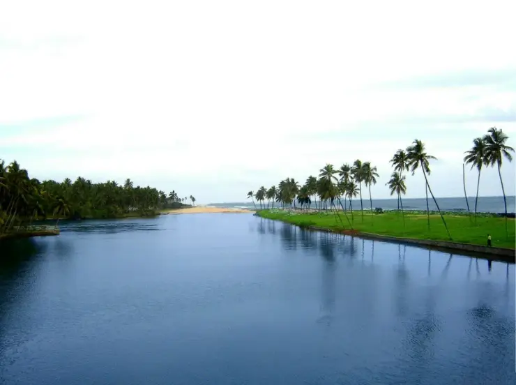
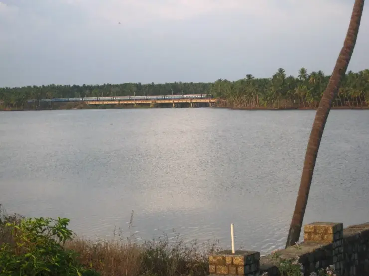
- The public bridge view of backwater and sea.
- Two valid official names for the water.
- A nearby boat club whose current service needs checking.
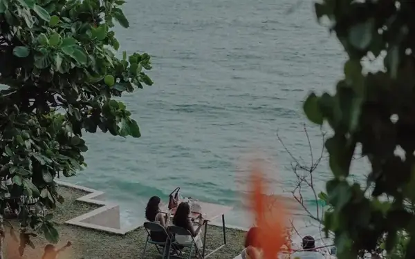
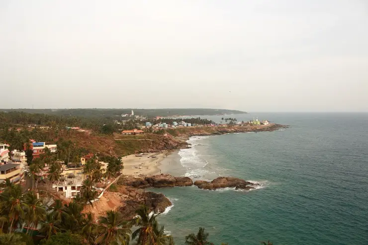
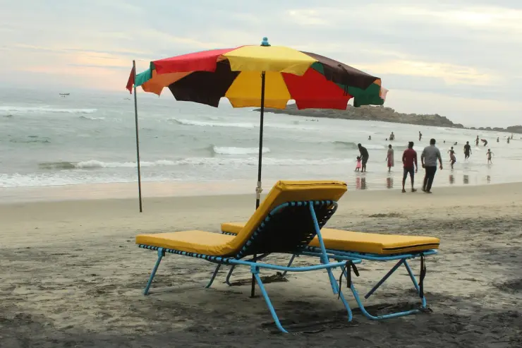
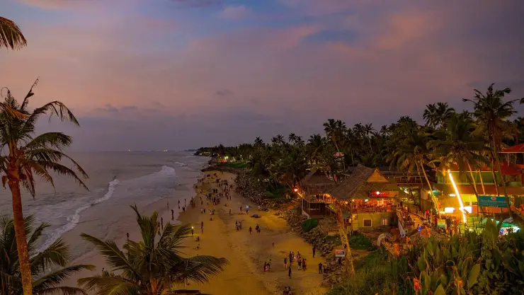
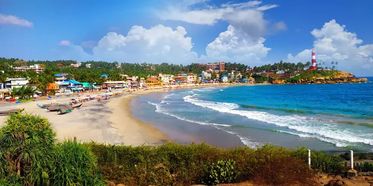
At Kappil, a narrow coastal landscape holds backwater on one side and the Arabian Sea on the other. The bridge and shore make a rewarding short trip north of Varkala.
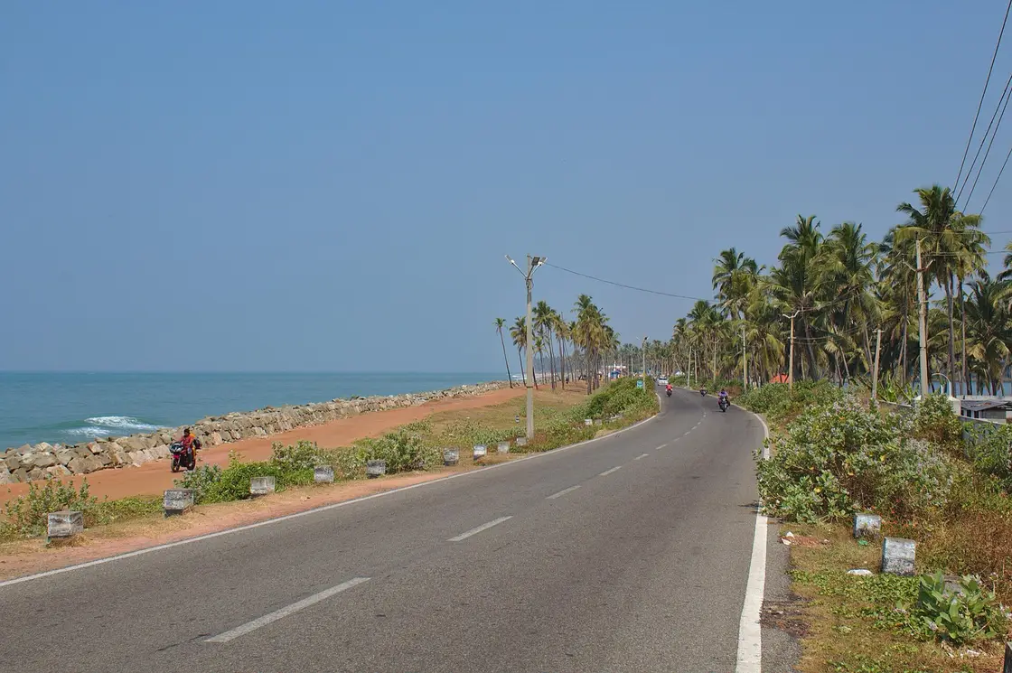
The southern Kappil Beach combines a backwater bridge view and the Arabian Sea a few kilometres north of Varkala.
Kerala Tourism uses both Kappil Lake and Edava–Nadayara Lake for the water; another Kappil Beach lies near Bekal.
At Varkala’s Kappil, a bridge puts backwater and Arabian Sea in a single view. The water has more than one legitimate name.
Kerala Tourism calls the water beside the beach Kappil Lake on its Varkala page and Edava–Nadayara Lake when describing nearby Hariharapuram. Both names appear in official material. The useful distinction is the viewpoint: Kappil names the visitor’s shore and bridge; Edava and Nadayara name the wider local water landscape.
The beach sits roughly six kilometres north of Varkala in Kerala Tourism’s description. The bridge is a place to understand the geography without assuming the sand bar always has the same shape or that the point where waters meet is safe to enter. Boating is described by the tourism department, but its operator, hours and ticket must be checked for the day.
There is another Kappil Beach near Bekal in Kasaragod district. The shared name often pulls northern beach details into southern itineraries. Add “Varkala” or “Thiruvananthapuram” when finding this one; add “Bekal” for the northern site.
Kerala Tourism documents both Kappil Lake and Edava–Nadayara Lake for the southern backwater. Neither official name needs to be dismissed to explain the site.
Use the bridge view to see how lake, sand and sea relate.
Choose any boat trip only after confirming current operation and safety arrangements.
Check the district on every map or hotel result labelled Kappil.
Road km to Thiruvananthapuram; ghat roads and traffic vary — allow extra.
Choose daylight and check the weather, shore and bridge access for the day.
Live forecast loads in your browser.
Sun and moon are calculated for this location and shown in IST. Photography windows are the hour around sunrise and sunset; the sunset bearing is degrees clockwise from true north. Moon phase is accurate to about half a day.
Browse listed stays, food, activities, sights, shops and rentals around Kappil Beach. Check each listing’s locality and contact the business directly for current arrangements.
Standalone cafe and restaurant near the North Cliff helipad with direct phone, WhatsApp and social links.
Cliffside cafe and restaurant on South Cliff with ocean views, reservation phone and daily hours. Cafe, restaurant, South Cliff.
Book with the place itself. India’s cyber-crime coordination centre warned in April 2025 that convincing copies of hotel and pilgrimage booking sites are being pushed through sponsored search and social ads, taking payment for rooms the property never hears about. Use the contact and source details on each profile to confirm the exact business and booking channel. A directory entry or map pin alone does not establish an operator’s identity or current availability. Roampedia takes no commission and does not collect booking payments. If a booking page reached you through an ad, check the address bar against the property’s own site before you pay. Fraud can be reported on cybercrime.gov.in or on 1930.
Find food, accommodation and activities across Varkala. Browse the guides for places to eat, stay and explore along your route.
4 more places around Varkala. Open a guide to plan the visit and onward journey.
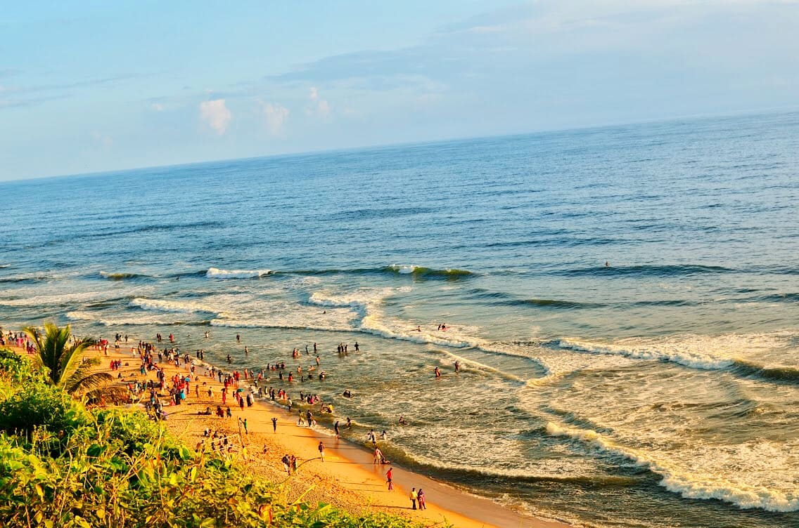
8.5 km · 10 min drive
Red-cliff beach town with sea views, cafes, Janardanaswamy Temple and easy train access.
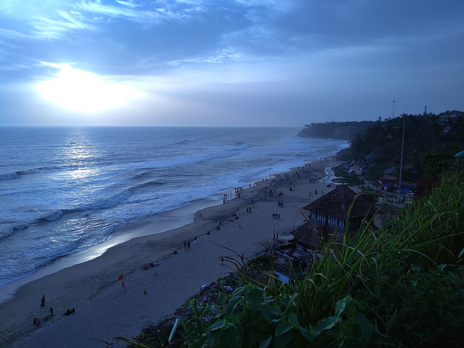
7.4 km · 9 min drive
Varkala’s laterite cliff puts the Arabian Sea below your feet and cafés along your walk. The clifftop path and Papanasam Beach are connected experiences, reached at different levels.
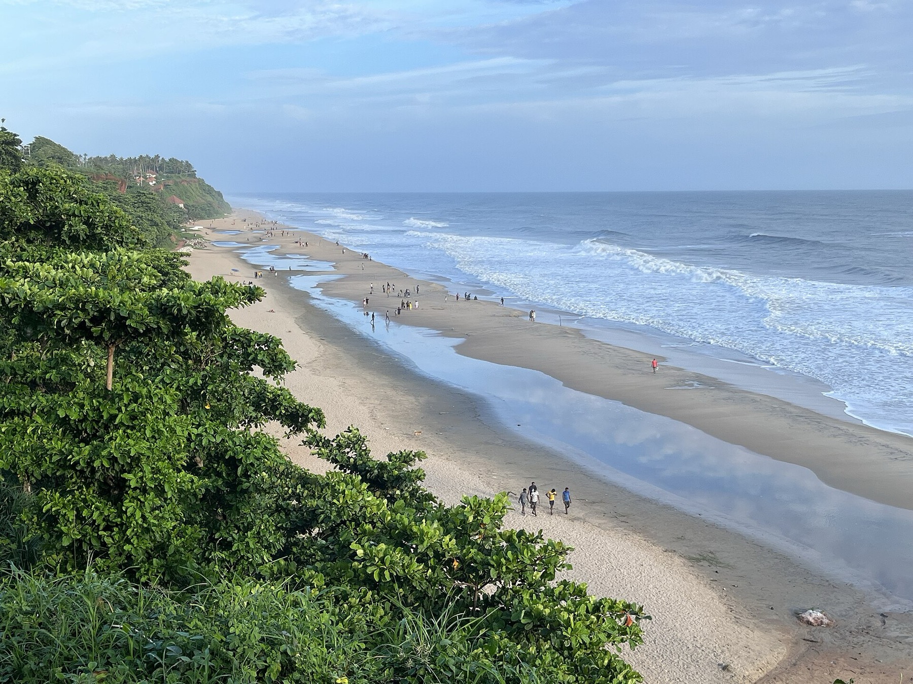
8.6 km · 10 min drive
Papanasam is the sandy shore beneath Varkala’s cliff, with ancestral rituals as well as beach visitors. Come with room in your plans for both the landscape and the people using it.
9.1 km · 11 min drive
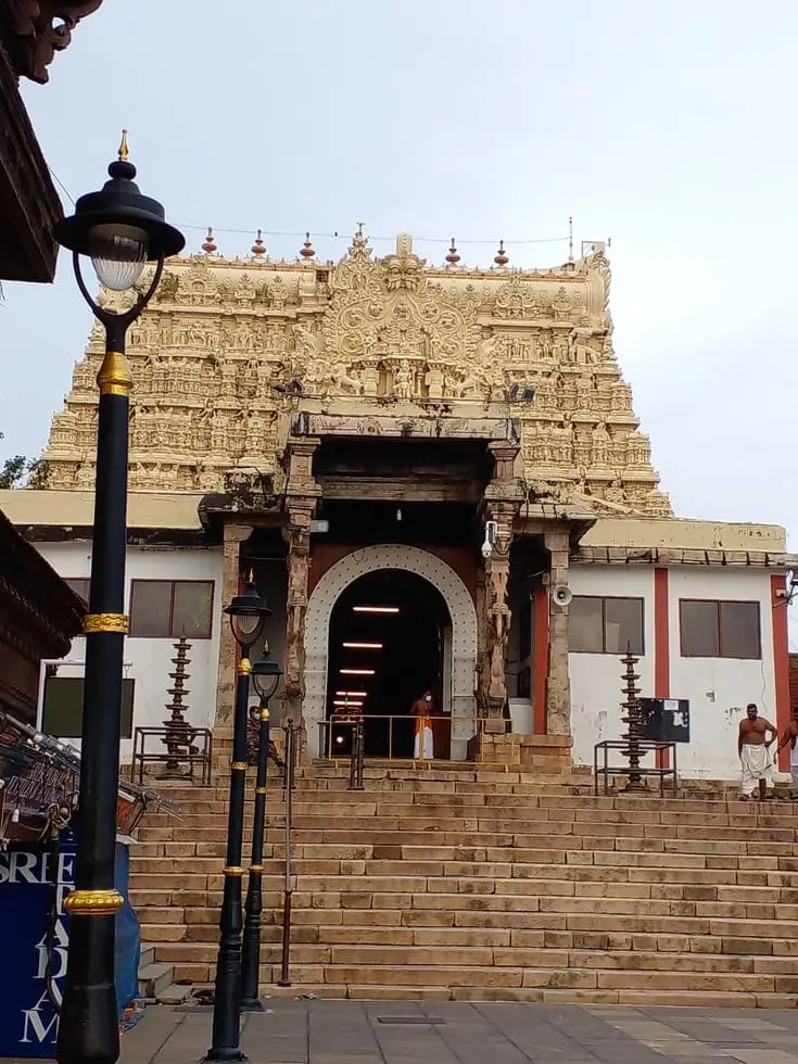
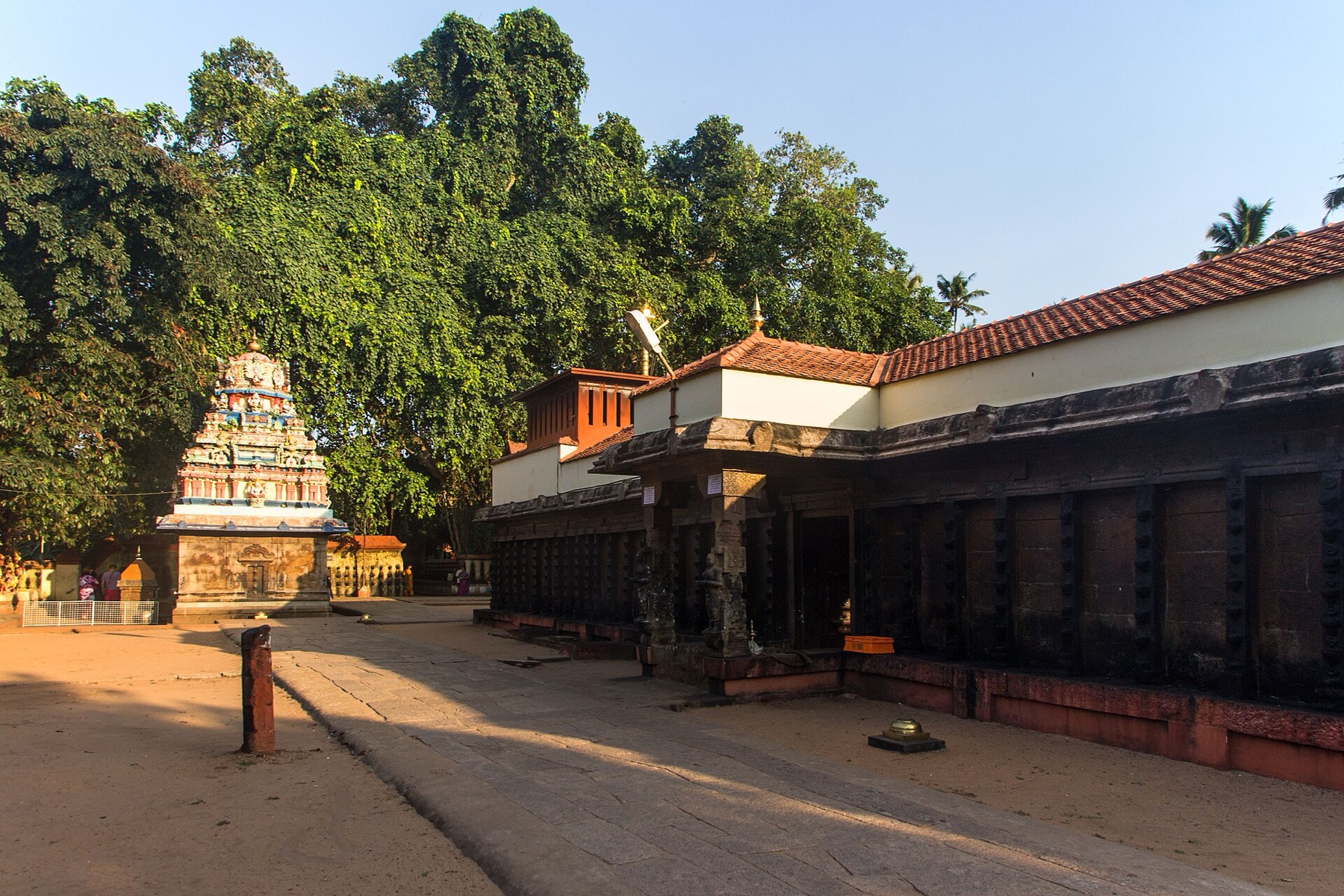
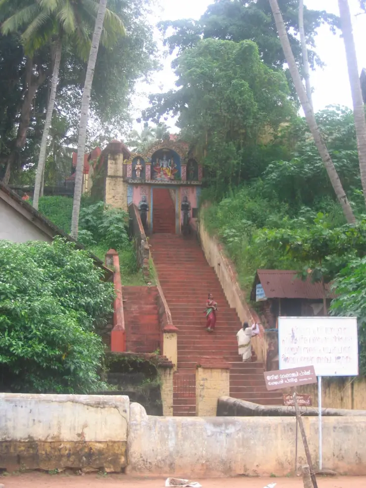
Broad steps lead from Varkala’s beach road to Janardanaswamy Temple. Dedicated to Vishnu, the hilltop shrine brings a quieter pilgrimage setting close to Papanasam’s busy shore.
Roampedia is commission-free — own or know a stay, eatery, guide or shop near Kappil Beach? Submit public business details for review.
Add a nearby businessEntry: Beach access and any boat ride are separate; confirm current operator and fare locally.
Photography: Respect worshippers and families performing rites. Follow current photography restrictions and keep clear of unstable or closed edges.
If you are travelling by bus or ferry, check the return service with the operator before setting out. Leave time to reach the stop or jetty after your visit.
Ask at the bus stand for the time of the last service back, not the next one. If you miss it, an auto or app cab is the fallback — agree the fare before you get in.
If you need step-free access, contact the site before travelling. Ask about a level entrance, steps along the route, the nearest drop-off point, seating and accessible toilets.
These services are listed within about 1.2 km of Kappil Beach. Walking distances follow mapped routes; access and opening hours can change. Other services may be closer but are not included here.
Published emergency and visitor-assistance contacts. For an immediate emergency, call 112. Shared Kerala contact sources checked 4 October 2026; publication does not establish a tested live response.
Varkala’s laterite cliff puts the Arabian Sea below your feet and cafés along your walk. The clifftop path and Papanasam Beach are connected experiences, reached at different levels.
7.4 km · 9 min driveRed-cliff beach town with sea views, cafes, Janardanaswamy Temple and easy train access.
8.5 km · 10 min drivePapanasam is the sandy shore beneath Varkala’s cliff, with ancestral rituals as well as beach visitors. Come with room in your plans for both the landscape and the people using it.
8.6 km · 10 min driveBroad steps lead from Varkala’s beach road to Janardanaswamy Temple. Dedicated to Vishnu, the hilltop shrine brings a quieter pilgrimage setting close to Papanasam’s busy shore.
9.1 km · 11 min drive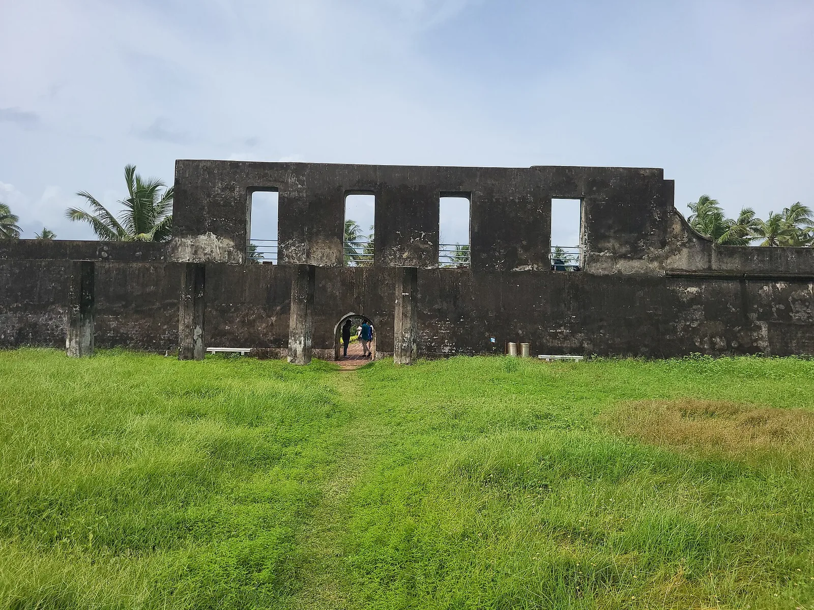
A 1690s English East India Company sea fort (Anjengo) on the coast north of the city, one of the earliest English settlements in Kerala.
16.3 km · straight line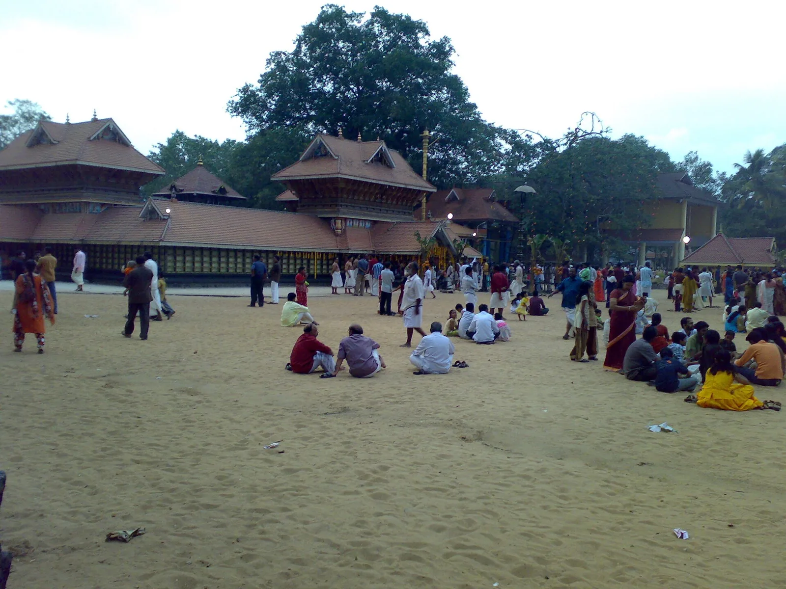
A renowned Devi temple at Chirayinkeezhu, famous for the Kaliyoot festival and the Sarkara jaggery legend.
18.5 km · straight lineThe ancestral palace compound associated with Raja Ravi Varma at Kilimanoor; visitor access concerns the working family estate and must be confirmed before travel.
20.9 km · straight line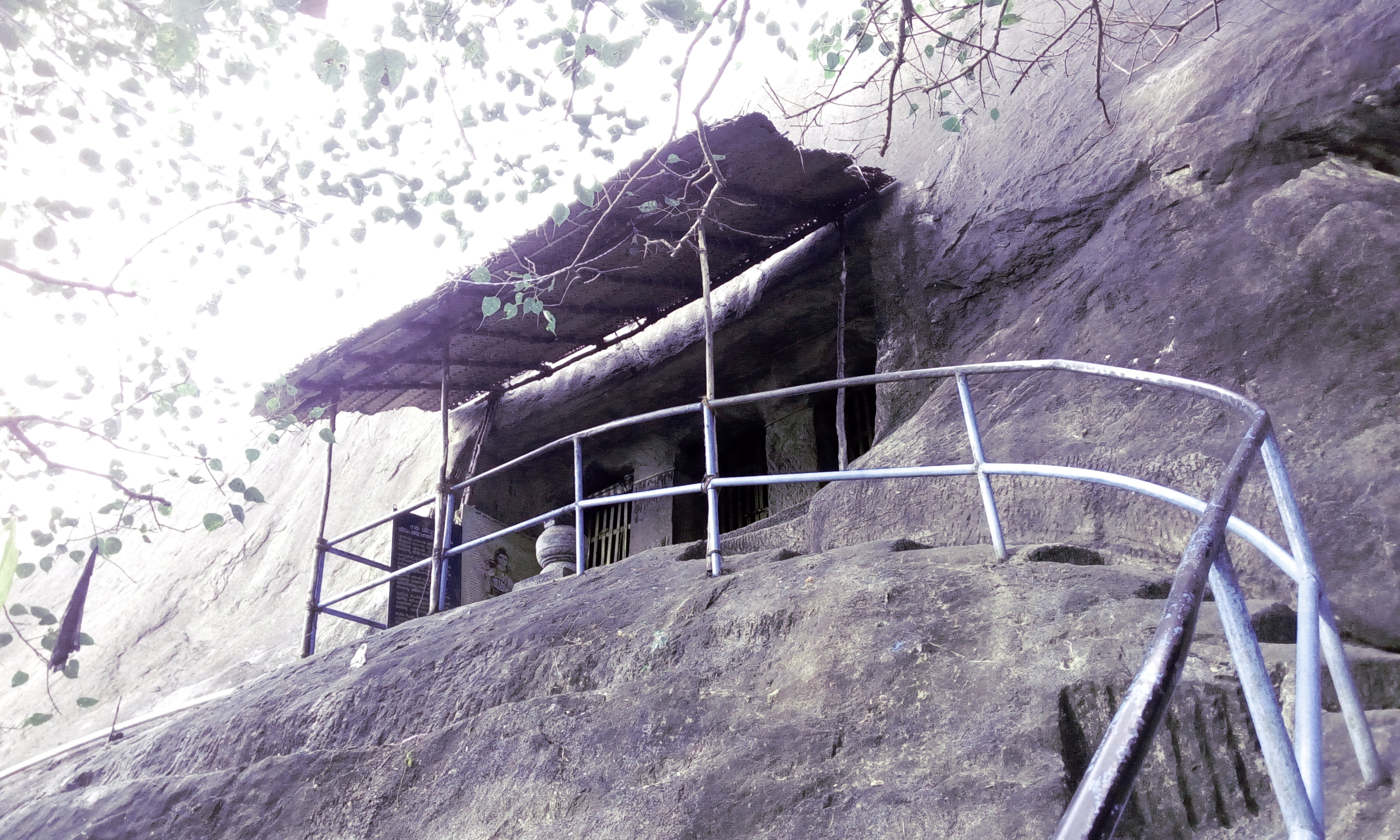
Madavoorpara combines a rock-cut Shiva shrine with a rocky hill landscape on Thiruvananthapuram’s northern edge. The temple and the climb offer different reasons to visit, and both deserve time.
32.6 km · straight line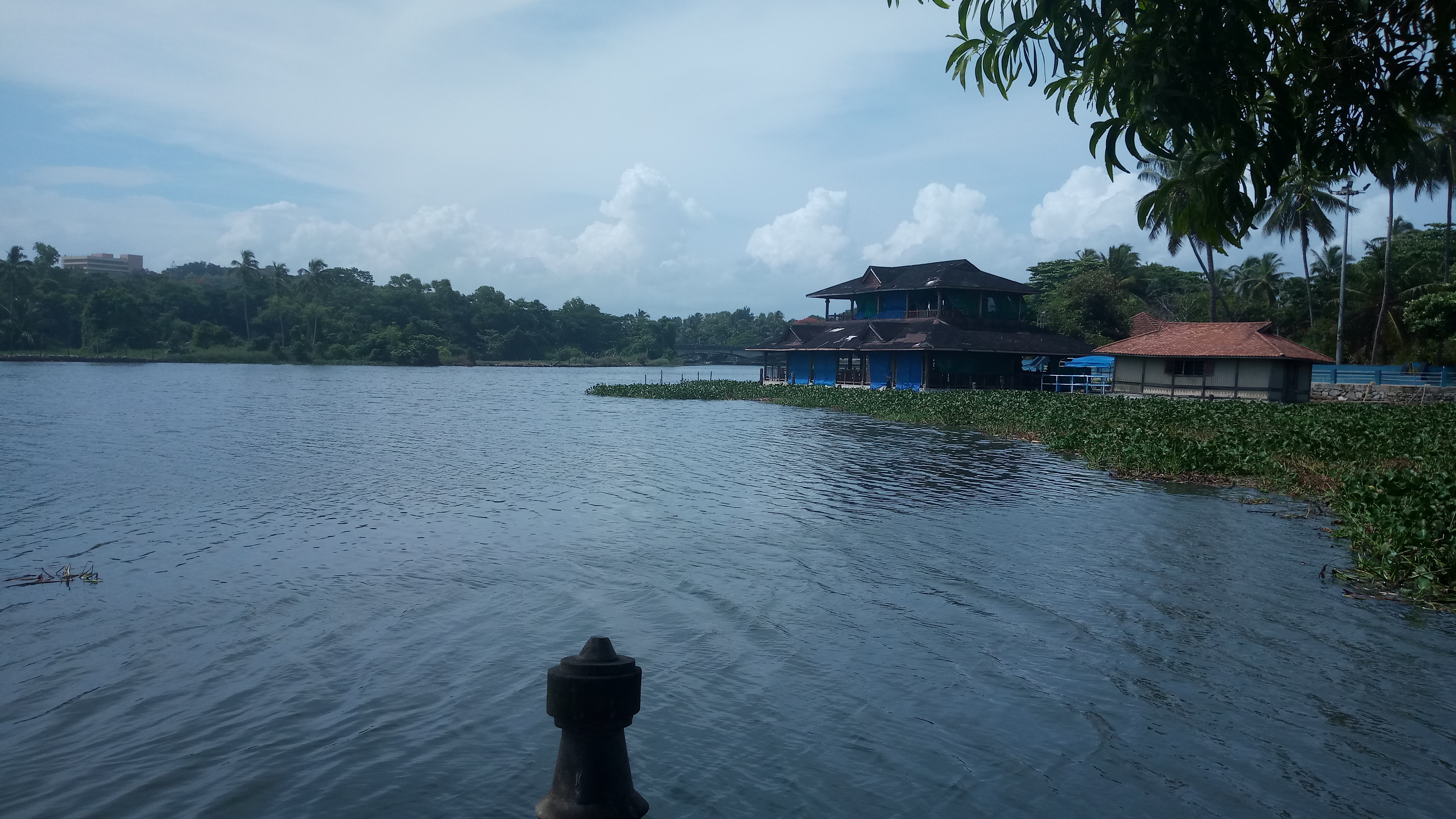
Veli Tourist Village brings lake views, gardens and boating to the coast near Thiruvananthapuram. It is a family outing at the meeting of Veli Lake and the Arabian Sea.
38.1 km · straight line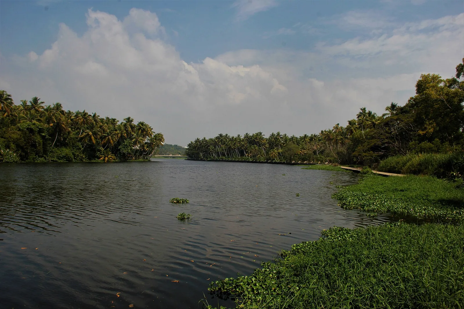
A calm backwater and boating spot near Veli with a lakeside tourist village and children’s park.
38.3 km · straight line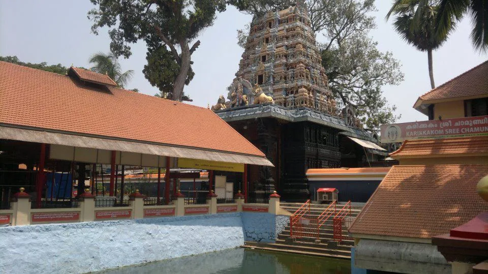
A well-known Chamundi Devi temple on the western edge of the city, busy during its festival season.
39.5 km · straight line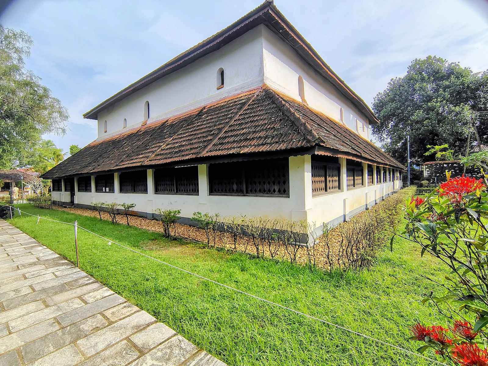
Koyikkal Palace at Nedumangad houses folklore and coin collections inside a traditional Kerala palace. Everyday objects, instruments and currency make this a more intimate museum stop than a grand royal gallery.
40.6 km · straight lineRoad and walking figures are route estimates, with travel times dependent on access, traffic and conditions. Figures marked “straight line” show direct separation and do not describe a road or walking route. Fare estimates use Kerala’s 26 April 2022 auto/taxi notification and exclude waiting, night and applicable one-way surcharges. Confirm the current meter or operator quote before travelling. Routing: © openrouteservice.org by HeiGIT | Map data © OpenStreetMap contributors
Nearby toilets, pharmacies, ATMs, seating and vets are community-mapped and may be incomplete or out of date. Map data © OpenStreetMap contributors | Walking times © openrouteservice.org by HeiGIT
Yes. Kerala Tourism uses Kappil Lake and also Edava–Nadayara Lake for the wider backwater.
No. This one is near Varkala in Thiruvananthapuram district; the Bekal Kappil is in Kasaragod.
Choose daylight and check the weather, shore and bridge access for the day.
Entry: Beach access and any boat ride are separate; confirm current operator and fare locally. Timings: Public access depends on current paths, shore conditions and any temporary closure. Check signs on arrival.
Search for Kappil near Varkala in Thiruvananthapuram district. Use public road and bridge approaches, checking shore access on arrival. Confirm current boat service and fare with the operator before making it the purpose of a trip.
Allow about an hour for a viewpoint and shore visit, longer for a separately confirmed boat ride.
Nearby you can pair Varkala Cliff (7.4 km, route estimate), Varkala (8.5 km, route estimate), Papanasam Beach (8.6 km, route estimate), Janardanaswamy Temple (9.1 km, route estimate).
Do not enter the water on the strength of a page description. Keep clear of any changed estuary mouth, rough shore or closed section.
Written about Kappil Beach itself — its history, its legends and the arguments about them.
These guides explore Varkala and the surrounding area. Choose a visit that fits your interests, allowing separately for travel between stops.


Written about Varkala as a whole rather than about Kappil Beach — its history, its streets, and how to spend a day in it.

Route-level itineraries and practical guides for the rest of Kerala.
Photographs: Shishirdasika (CC BY-SA 4.0), Ikroos (Public domain), Ikroos (Public domain), Arun Muralidhar (CC BY-SA 3.0), Arun Muralidhar (CC BY-SA 3.0).