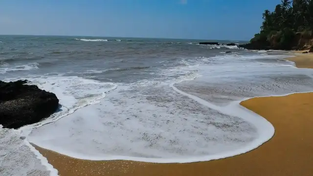
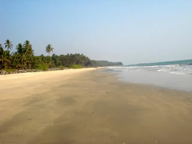
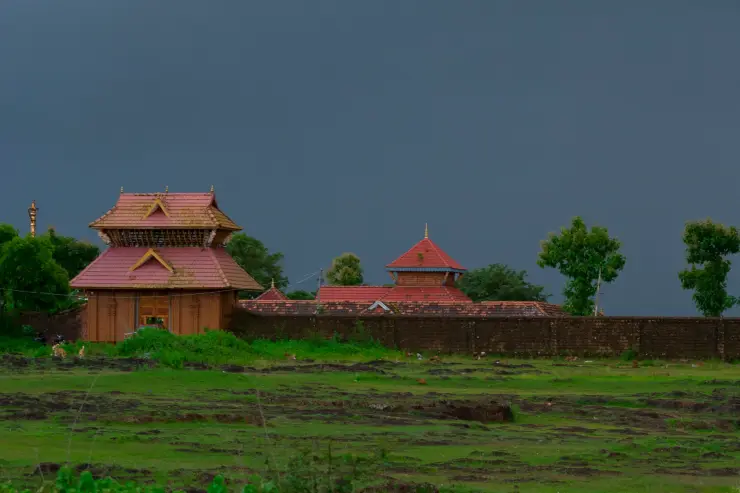
Thottada is a village of Edakkad grama panchayat, on the coast about eight kilometres south of Kannur city and roughly two and a half kilometres off NH 66. Travellers know it for its beach and its homestays; the panchayat it belongs to is older and stranger than either. Edakkad is a Malayalam contraction of the Sanskrit madhya-adavi, “the middle forest”, and for centuries it was administered not by a court but by an assembly of nine hereditary Nambiar families who governed through a single sacred grove — Sree Oorpazhachi Kavu, three-odd kilometres inland from the sand. Kerala’s standard manual of horary astrology, the Prasna Marga, was composed in this village in 1649. A weavers’ street, the state handloom-technology institute and a polytechnic from 1958 all sit within a few minutes of the beach lane.
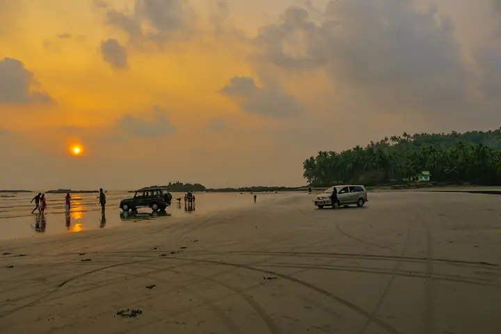
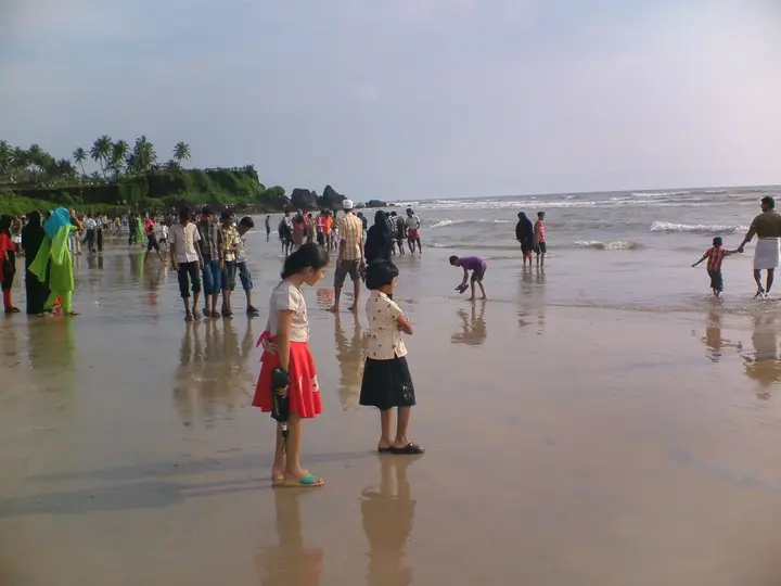
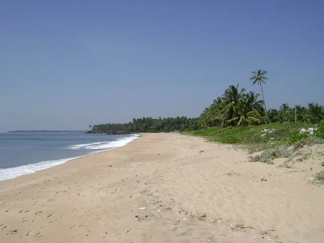
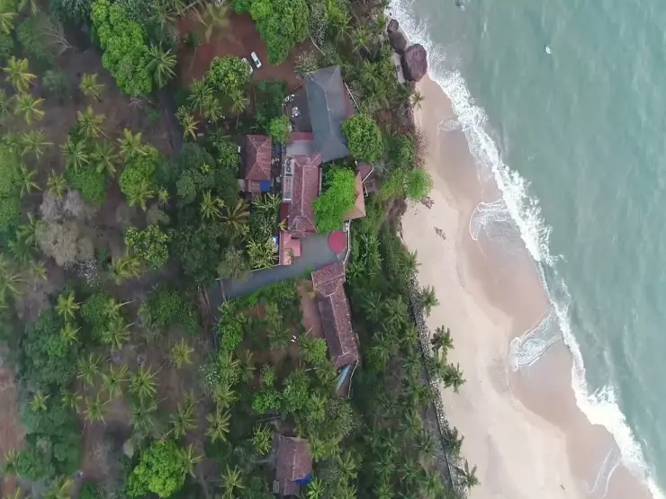
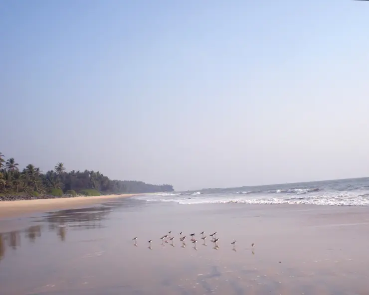
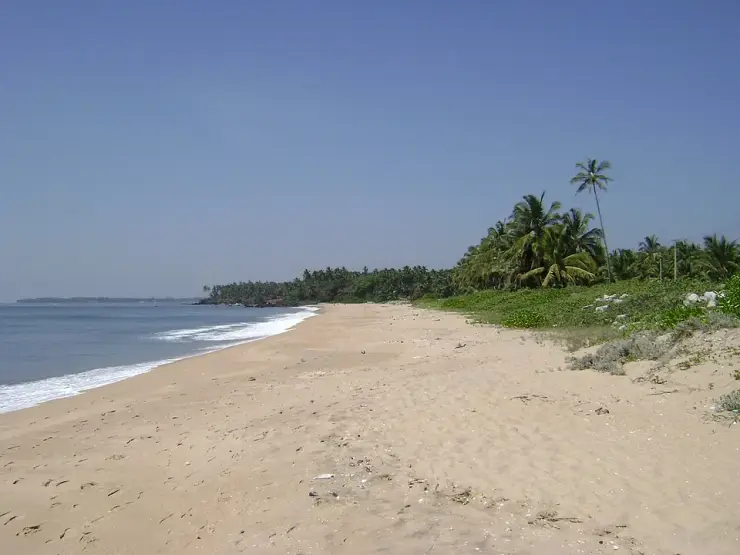
Thottada is not a town in the municipal sense and has no council of its own. It is a settlement — postal code 670007 — inside Edakkad grama panchayat, in Edakkad block of Kannur district, and much of what a visitor experiences as “Thottada” is really the panchayat’s coastal fringe. The village sits about eight to nine kilometres south of Kannur city, and the shore is reached by turning west off the Kannur–Thalassery stretch of NH 66 and following a narrowing lane for roughly two and a half kilometres. Three coves lie along that fringe in order from the north: Thottada, then Kizhunna, then Ezhara. Locals and signboards use all three names loosely, and a stranger asking for “Thottada beach” may well be sent to any of them.
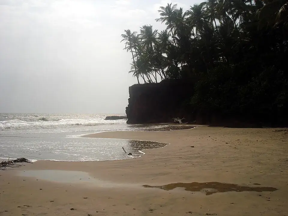
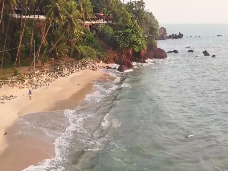
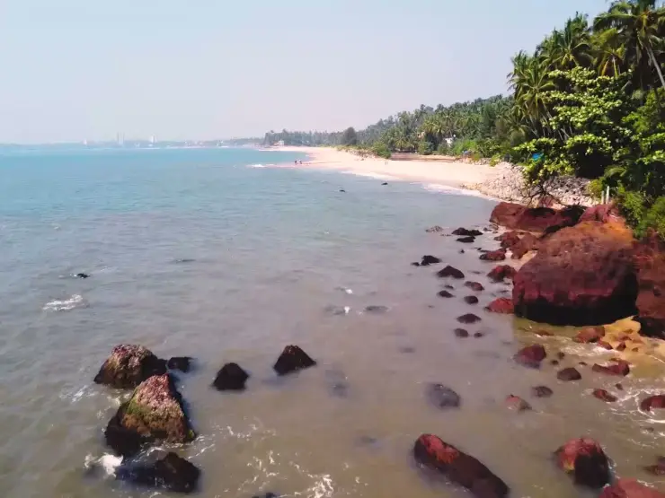
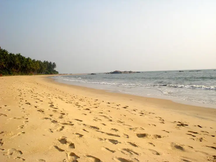
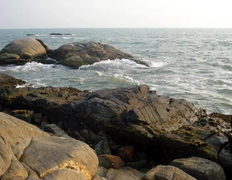
The coves exist because of laterite. This whole stretch of the North Malabar coast is capped by the rust-red, iron-rich weathered rock that Kerala builds its walls from, and where a laterite bluff runs out to the water it stops the sand and starts a new pocket of beach on the far side. The rocks here have working names rather than tourist ones. Vattakkallu — “the round stone” — is the group of laterite boulders stepping down from the land into the sea at Kizhunna, named for one exceptionally circular block among them. Cherakallu is the low reef standing offshore, dry at its crown and awash at its skirts, which anglers walk out to when the tide allows. Between the headlands the sand is a warm ochre rather than white, because it is partly laterite ground down.
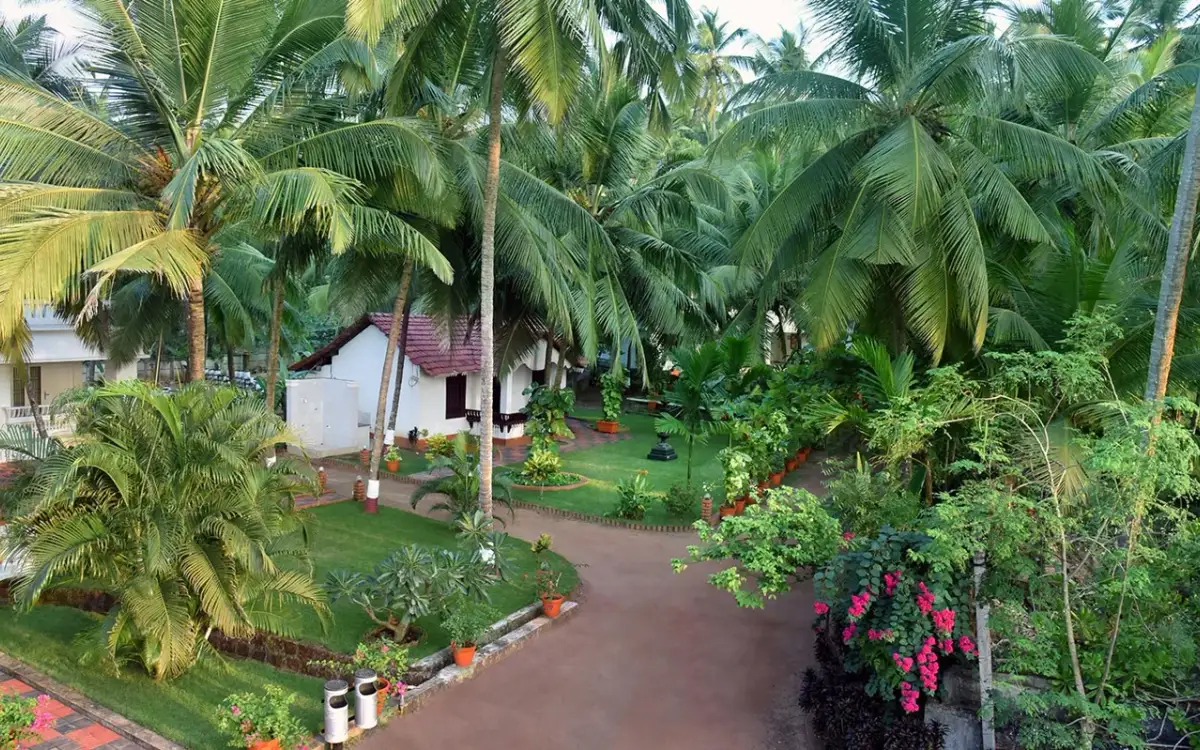
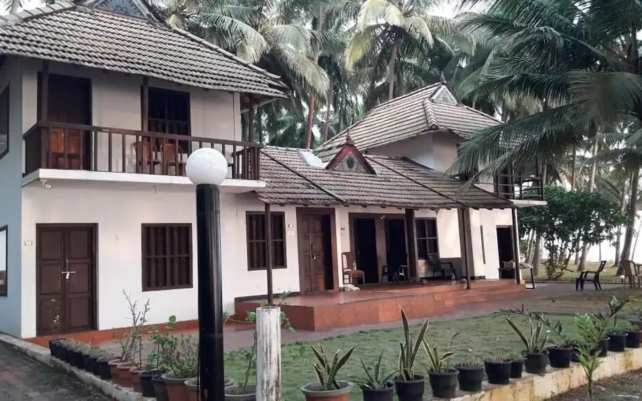
The village economy that a visitor actually meets is the homestay economy, and it is unusually lopsided. Of the businesses we hold under Thottada, the overwhelming majority are places to sleep — beach houses, family guest houses, a resort with an Ayurveda wing — and almost nothing else. There is no restaurant strip, no line of shacks, no chemist within easy walking distance of the sand. In practice that means three things: you eat at your stay, you book ahead rather than turning up, and you carry what you need down the lane with you. It also means the village is unusually quiet after dark, because the people who would otherwise fill a beachfront simply are not there.
Two of the more surprising addresses in Thottada have nothing to do with tourism. The Institute of Handloom and Textile Technology stands at Kizhunna P.O., Thottada — the state’s nodal institution for taking science and technology to the traditional handloom and textile industry, teaching weaving, dyeing and textile processing. A few minutes away is Government Polytechnic College, Kannur, established in 1958 and located at Thottada, one of the older technical colleges in the district. A fishing-and-weaving hamlet that most maps did not bother to label thus ended up carrying two of Kannur’s working technical institutions.
The handloom connection is not incidental. Kannur’s weaving was built by the Saliya community, brought from the Tamil country by the Chirakkal rajas to produce cloth for the royal household and settled on granted land near the temples. Their settlements became the weaving theruvus — literally “streets” — scattered across the district, and Edakkad has one of them. The industry is generally dated to the sixteenth century in the district and only became widespread in the nineteenth; after Independence the social reform movements pulled the weavers into cooperative societies, the form in which Kannur handloom largely survives today. Kanhirode Weavers’ Co-operative Society, founded in 1952 and about twenty kilometres inland, is the best-known of them.
Edakkad also had, for a while, a crop of its own. The panchayat was locally famous for the Edakkad bathakka, a watermelon variety grown on this sandy coastal soil and known by the village’s name. It is the sort of detail that survives in gazetteers and in older people’s memory rather than on any signboard, and it is worth asking about if you are staying long enough to talk to anyone.
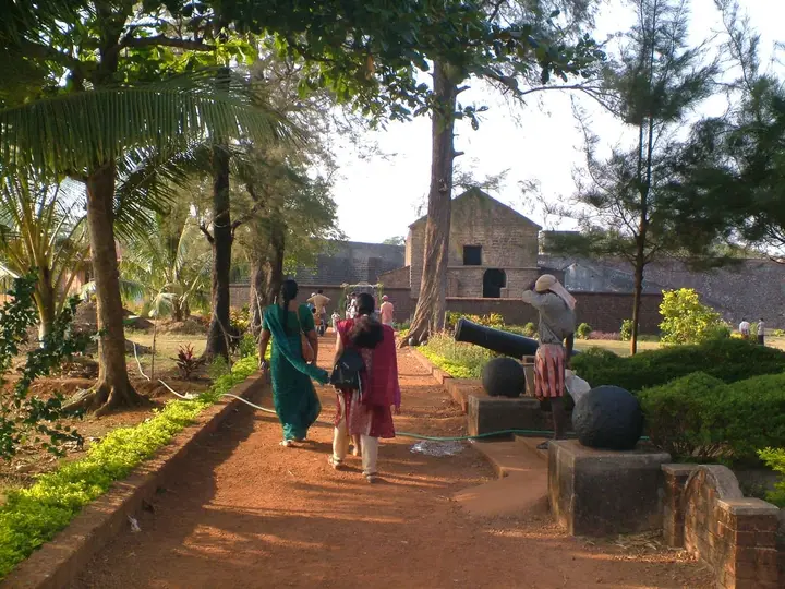
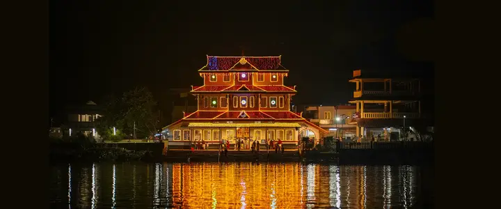
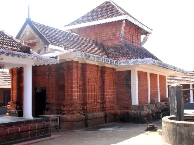
Inland from all of this, at Malikaparamba near the Nadal railway gate, is the place the panchayat organised itself around: Sree Oorpazhachi Kavu. It is a kavu in the full sense — a sacred grove with a shrine in it, not a temple with trees around it. A published ethnobotanical survey of the grove recorded 86 vascular plant species in 75 genera and 38 families across roughly five acres, of which about two acres form the sanctuary proper: 83 flowering plants, two ferns and a single gymnosperm, the cycad Cycas circinalis. Thirty-three of the species are trees, and the survey notes their long use in local medicine for fevers, coughs, skin complaints and wounds. Straight-line, the grove is a little over three kilometres inland from the Thottada shore.
The grove was also the seat of government. Edakkad was administered through an Ooralar assembly — nine hereditary Nambiar families holding proprietorship — who ran secular affairs and temple affairs through the same body at Oorpazhachi Kavu, an arrangement recorded in William Logan’s Malabar Manual. That system is gone: an elected board of trustees with a chairman and an executive officer runs the shrine today. But it explains why a coastal village of this size has a temple of this weight sitting behind it.
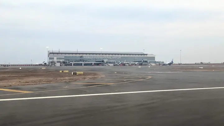
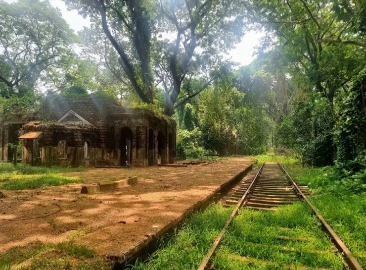
For a visitor, the useful shape of a day here is: the coast in the early morning and again from four o’clock, and the inland village in between. Edakkad has its own small railway station on the Mangaluru–Palakkad coastal line, though most trains do not stop there and Kannur, eight kilometres north, is the practical railhead. Kannur International Airport at Mattannur is roughly 25 to 30 kilometres inland. Everything within the panchayat is auto-rickshaw distance; almost nothing within it is signposted for tourists.
Legend & myth
Start with the name of the grove, because two readings of it survive and they pull in different directions. One expands Oorpazhachi as Ooril Pazhakiya Eachil Kavu — “the grove of the eachil tree that grew old in the village”. The eachil is Aporosa cardiosperma, a modest tree that carries real ritual weight in Malabar temple precincts and which the ethnobotanical survey of this grove singles out for its cultural importance. The other reading is Ooril Pazhakiya Achi Kavu — “the grove of the mother who grew old in the village”, taking the goddess rather than the tree as the subject. Nobody has settled it. Both readings agree on the pazhakiya, the aged-in-place; whatever else the grove is, it is the oldest thing in Edakkad.
The best-known story attached to the shrine turns on a technicality of caste practice. The sage Vilwamangalam Swamiyar, travelling through, held a vow never to take food at a Shaiva temple. Arriving at Oorpazhachi Kavu he understood it to be Shaiva, so he stopped outside the enclosure and went down to bathe in the temple pond rather than enter. Two brahmins came to him at the water and told him he had misread the place — that there was a Vaishnava presence within it too, and that he was free to go in and eat. He did. When he looked for the two men afterwards to thank them, they had gone, and no one at the shrine knew of them. The sand of that pond is said to have been blessed by the sage, and bathing there is still credited locally with healing.
The story is an origin myth for the thing that actually makes this shrine unusual: three traditions inside one enclosure. Bhagavathy holds the Shakteya sanctum. Sree Oorpazhachi Daivathar is the Vaishnava presence — the one the sage was told about. The third is Vettakkorumakan, called in Sanskrit Kiratha Sunu, “the hunter’s son”, and he is Shaiva. His story is the Mahabharata episode read sideways: Shiva took the form of a Kirata, a forest hunter, in order to test Arjuna and hand him the Pashupatastra, and Vettakkorumakan is the son born to Shiva and Parvati while they were in that hunter guise. Vishnu, recognising what the boy was for, is said to have given him a golden churika — a dagger — in exchange for an oath that he would guard the people of the land from harm. He is worshipped almost nowhere outside Malabar.
Above them all, at the Mele Kottam or upper citadel, sits Thondachan. He is not one of the three sanctum deities but the kshetrapalan, the guardian of the ground, and he is understood as the grand ancestor — the forebear of the families who hold the place. In North Malabar the figure appears as Pulimaranja Thondachan, also called Kari Kurikkal, and is performed as theyyam. The arrangement is worth noticing: the ancestor is placed physically above the gods, on the higher ground, watching the enclosure. That is a very Malabar ordering of the world, and it is the one this grove keeps.
There is a disagreement about Oorpazhachi Daivathar himself that we are not going to paper over. The devotional sources say plainly that he is a manifestation of Vishnu. The Malayalam Wikipedia article on Edakkad gives a different account, describing the presiding figure locally known as Daivathar as a deified Nayar warrior-chief rather than an incarnation — the deification of a remembered human being, which is the commonest origin of a theyyam deity in this region. Both versions are held sincerely and neither is provable from here. What can be said is that a divine origin and a deified-human origin are not experienced as contradictory in a kavu; the same figure can be both in the same courtyard on the same night.
The rite that goes with all this is not the seasonal one visitors expect. Oorpazhachi Kavu performs a Daivathar Vellattom at noon every day, which the temple itself and Kerala Tourism both describe as a rare thing in the district — most kavus perform vellattom only in their festival window. The big season is Mandala Vilakku, forty-one days running from the Malayalam month of Vrishchikam into Dhanu, that is roughly mid-November to late December, and there is a Shivaratri Mahotsavam in February. Kaliyattam, the full theyyam cycle, belongs to that season rather than to the daily round.
One more deity belongs to Edakkad specifically. Aadimooliyaadan Daivam is performed at kottams in this panchayat — a documented performance at Kakkanam kottam, Edakkad, was photographed in March 2018. His story is a fire story. A childless couple prayed to Agni and were given a son; at fourteen the boy understood what he was and wanted to return to the flame, so he built a fire altar and asked Agni to take him back. He was granted it, went into the fire, and came out of it as the old and fierce figure the theyyam shows — matted hair, a garland of fire at the throat, gold at the wrists. The theyyam is said to set out around five in the morning and to be still unbinding its hair as the next day breaks.
Finally, a legend that is repeatedly attached to this coast and does not belong to it. The Kadalayi Sree Krishna image — the one tradition says Satyabhama worshipped at Dwaraka, which Krishna kicked from its pedestal into the sea, breaking its right hand, and which a Malabar fisherman later netted and gave to the Kolathiri — was first installed at Kadalayi Kotta, in the south-east of what is now Kannur town. Adikadalayi, north of here toward the city, keeps the “adi”, the original, in its name for exactly that reason. But the image is not there now. During Tipu Sultan’s campaign the temple’s priest, Kallampally Embranthiri, carried it to his illam at Cheruthazham, and the Kolathiri later installed it at Chalakunnu near Chirakkal, where the present temple was built by the Chirakkal Valiya Thampuran between 1888 and 1911. It is a Chirakkal story with an Adikadalayi prologue, and Thottada has no part in it. Nor does Thottada own the sage-and-cobras legend of the cave in the rocks south of the beach — that belongs to the shore, and we tell it there. Searching in Malayalam for a distinct village-level aithihyam of Thottada itself — under തൊട്ടട, ഐതിഹ്യം, ക്ഷേത്രം and ഉത്സവം — returns the panchayat’s material, not the hamlet’s, which is exactly what you would expect of a ward inside an older village.
More about Thottada
History
The oldest layer here is a name. Edakkad is read as a Malayalam contraction of the Sanskrit madhya-adavi — eda, middle; kadu, forest — and the village was known by that Sanskrit form before it was known by its present one. Administratively it belonged to Randattara, also called Poynad, before the British reorganisation folded it into Chirakkal taluk of Malabar District; at that point the taluk was divided into forty-three amshams, or revenue villages, and Edakkad was one of them, alongside Kannur, Taliparamba, Anjarakandy and Payyanur.
Its one contribution to world scholarship was written here in 1649. Narayanan Nambutiri of the Panakkattu illam, whose dates are given as 1624 to 1694, composed the Prasna Marga in Sanskrit sloka at Edakkad — the most comprehensive classical exposition of horary astrology in the Indian tradition, still the standard reference for Kerala prasna practice. He wrote his own commentary on it, the Durgamartha Prakasini, and the text reached English readers through the commentary of Punnasseri Nambi Neelakantha Sarma. Locally the village is remembered as Prashnamargapuram for it. The identification of that Edakkad — sources place it “near Tellicherry”, which this Edakkad is — with this panchayat is the local claim and is repeated by the village’s own encyclopaedia entry; it is worth stating as such rather than as a settled point.
The 1790s were the rupture. As Tipu Sultan’s campaign moved through Malabar, the administrators of Oorpazhachi Kavu evacuated the idols and the temple’s valuables and took them to the Akkaraveettil Tharavad at Thalassery, where they were sheltered. The deities were brought back and re-consecrated only after Tipu withdrew from Malabar, and the Akkaraveettil family afterwards gifted their worship house to the temple in acknowledgement of what had happened. The shrine was substantially rebuilt over the second half of the nineteenth century, in works dated between 1845 and 1899. The same campaign is what moved the Kadalayi image off this coast for good.
The nineteenth and twentieth centuries were about cloth and tobacco. The Saliya weavers settled by the Chirakkal rajas had given the district its theruvus, Edakkad among them; the handloom trade, small in the sixteenth century, became a mass livelihood in the nineteenth and was reorganised into cooperative societies around Independence. Tobacco arrived as the other great household trade. When the Kerala government moved to enforce the welfare provisions of the Beedi and Cigar Workers Act, the private beedi firms — Mangalore Ganesh Beedi among them — shut their Kerala operations and moved to Karnataka, throwing more than twelve thousand workers out of work across the district. The response was the Kerala Dinesh Beedi Workers’ Central Cooperative Society, capitalised at one rupee per unemployed worker, which began production at Kannur on 15 February 1969 and became one of India’s most-studied workers’ cooperatives. This is district history rather than Thottada history — the society’s base is Kannur town — but it is the economic weather this village lived in.
Modern Thottada was built by institutions, then by guests. Government Polytechnic College, Kannur, opened at Thottada in 1958. The Institute of Handloom and Textile Technology followed at Kizhunna P.O. within the same village, tying the place formally to the craft its weavers already practised. Beach tourism came last and came small, from the 1990s onward, and it arrived as homestays rather than hotels — a pattern that has held. The panchayat has not, so far, allowed the beachfront to be built up, and the result is the odd modern Thottada: a working village with a technical college, a weaving street, a five-acre sacred grove and, at the end of the lane, some of the emptiest sand in North Kerala.
Why visit
Sree Oorpazhachi Kavu holds Shaiva, Vaishnava and Shakteya sanctums inside one enclosure and performs an oracle dance at noon every day of the year — a rarity in Kannur district.
The five-acre sacred grove is a genuine surviving kavu, with 86 recorded plant species including the eachil tree the shrine may be named for.
This is the village where the Prasna Marga, Kerala’s standard manual of horary astrology, was written in 1649.
The Saliya weavers’ street, the state handloom-technology institute at Kizhunna P.O. and a 1958 polytechnic sit within a couple of kilometres of the sand.
The three coves — Thottada, Kizhunna and Ezhara — are separated by laterite headlands with working local names such as Vattakkallu and Cherakallu, not tourist ones.
It is a homestay village rather than a resort strip: you eat where you sleep, and the place empties after dark.