What to expect
Highlights
- Heritage experience at Kariyathumpara
- Architecture, local stories and old trade/cultural routes
- Good fit for guided walks and nearby cafes/shops
A ticketed riverside bathing and picnic centre on Irrigation Department land where the Kuttiyadi runs over a bedrock sheet into the head of the Peruvannamuzhi backwater — at 57 m, with no drop and no forest permit, but a serious drowning history.
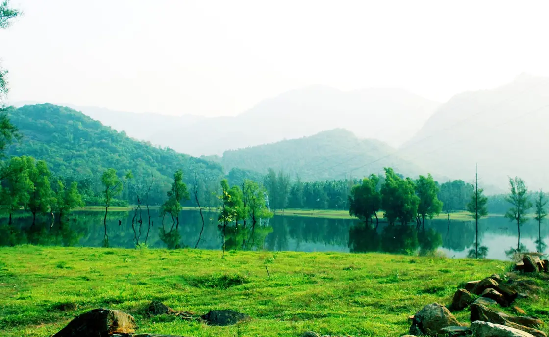
Kariyathumpara is a ticketed riverside bathing and picnic centre in Koorachundu Grama Panchayat, about 45 kilometres by road east of Kozhikode, where the Kuttiyadi river comes off the Kakkayam gradient, runs across a sheet of exposed bedrock and immediately slackens into the head of the Peruvannamuzhi backwater. It is at fifty-seven metres above sea level. It is not a hill station, there is no summit, and there is no drop — the ground all round it rises to seventy-five and eighty-seven metres, so the site sits in a hollow. Almost everything written about it describes somewhere else. And the one thing that gets left out is the only thing that can hurt you: the water.
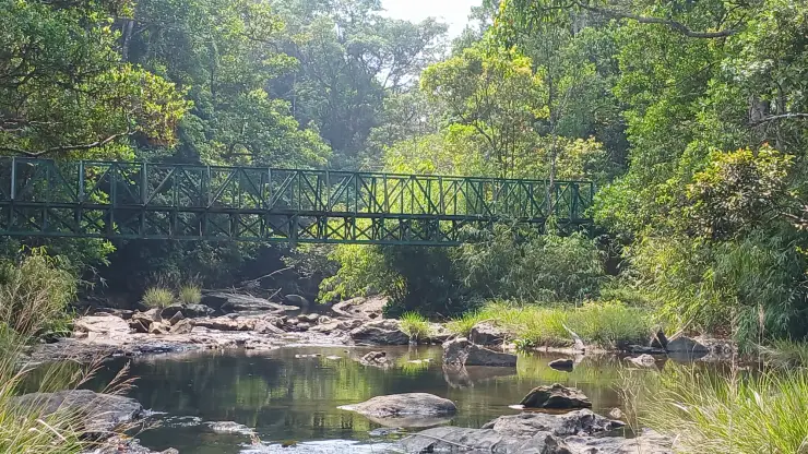
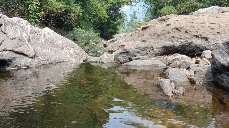
Para is Malayalam for rock, and the rock is the whole site. The Kuttiyadi leaves the last of the Kakkayam gradient and spreads across a wide sheet of bedrock before the current dies in still water. A trekking blog that walked it in December 2015 gave the description that reconciles every contradictory account of the place: the river has, in its words, a dozen little wells in its rocky belly. Those are scour potholes — hollows ground into rock by pebbles spinning in eddies — and they are what the tourism copy calls naturally formed water pools.
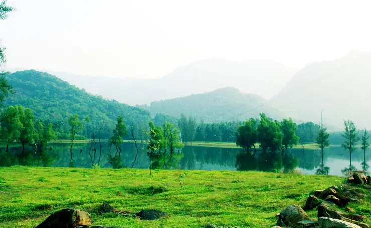
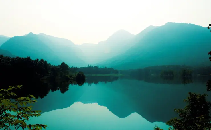
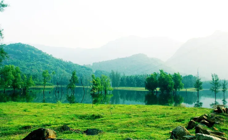
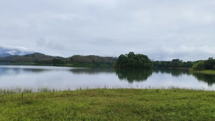
The Kerala Government's own news service is plainer still, and worth quoting because it is the least decorated sentence anyone has written about the place: boulders in a stream, pine trees, and majestic hills. That is genuinely what you find. A meadow, a bedrock shelf, still green water with half-submerged trees standing in it, small islands, and the Kakkayam ranges behind. In photographs there are overhead power lines across the sky, which is exactly what you would expect a kilometre and a half from a hydroelectric powerhouse.
Now the part the brochures leave out. Madhyamam, reporting the centre's reopening on Sunday 21 February 2022, described the dangerous rock passage as being placed under strict restriction, and put the number of people who had drowned there at eleven. That is a Malayalam mainstream daily reporting a cumulative figure, undated as to period, and no official tally has ever been published against it. We attribute it exactly that way and never as a current or official number. It is still the single most important sentence anybody has written about Kariyathumpara.
The same article carries the detail that settles the argument. The centre had been shut for roughly four months on security grounds before that reopening, and it came back staffed by six people: one security guard, three cleaning staff — and a lifeguard. A picnic spot that pays for a lifeguard is a picnic spot that knows what its river does.
It keeps happening. On Sunday 25 August 2024 a twenty-year-old second-year medical student drowned here, one of an eight-member group who came on after a wedding at Ulliyeri; local residents recovered the body from the stretch called Pappanchadikayam. We do not print the name, although it was published. A separate double drowning in the Kuttiady river was reported on 29 September 2024, and we deliberately do not attach it to this page — no spot, panchayat or landmark was given, and the Kuttiady covers a long catchment.
The management response is real, and it is partial. Manorama's district edition reported on 8 July 2024 that the centre had reopened after a closure begun on 24 June on a heavy-rainfall warning, with the District Collector authorising the reopening; that entry to the rock-passage areas stayed restricted wherever the flow was excessive; and that local guides had been engaged for visitor safety. So the operating model is legible: seasonal closure on rain warnings, dynamic restriction of the rock by flow, and guides on the ground.
And then it decays. Onmanorama, on 11 November 2025, ran a report headlined on neglect turning the centre into a safety hazard: overgrown vegetation and thick weeds, bushes harbouring reptiles, a child visiting with tourists hospitalised after a snakebite, and no shelter of any kind against rain or sun. Residents were quoted objecting that the authorities collect substantial ticket revenue here and spend none of it on upkeep.
That report also explains why nobody mows it, and the explanation is structural rather than lazy. The land belongs to the Irrigation Department, because the water is the Kuttiadi Irrigation Project's reservoir margin. The visitors belong to tourism. When a site's owner and its operator are two different arms of government, the grass is nobody's job.
There is a happier side to the same arrangement, and it deserves saying. This is a genuinely local institution. The Kerala Government's own information notice names the committee that runs it — the Kariyathumpara–Thonikkadavu Tourism Management Committee, chaired by the MLA, with the District Collector as co-convener, the Executive Engineer of the Kuttiyadi Irrigation Project as joint co-convener, and the President of Koorachund Grama Panchayat on it. In September 2022 the committee put on its own festival, Thonikkaazhcha, over two afternoons with cultural programmes and a food market. No aggregator mentions it.
The last thing to know is the one visitors reliably get backwards. There is no cliff here, and people file no cliff as no risk. Eleven have drowned at the rock passage. A twenty-year-old drowned in August 2024. The roster carries a lifeguard, the rock closes when the flow is high, and the river above you runs out of a hydro scheme rather than straight off a hillside. The absence of a drop is not the absence of danger; at Kariyathumpara it is the reason the danger goes unnoticed.
The commonest error about Kariyathumpara is that it is a trek to a viewpoint, and it is dangerous in a specific way, so it gets its own section. Kariyathumpara is at fifty-seven metres. There is no hill station, no summit and no climb. You drive the Estate Mukku–Kakkayam road, you park, and you walk onto a rock. The ground immediately around the site, at seventy-five to eighty-seven metres, is higher than the site itself.
Anyone who has been told this is a bare rock shelf with a long drop and no railings has been given the description of somewhere else — almost certainly Vayalada view point, which is a real hilltop lookout at 582 metres, 4.7 kilometres to the south-west in the same panchayat. Kakkayam Dam, further on again, stands at 739 metres. All three get called the Ooty of Malabar, and travel copy shuffles them freely.
The map history documents the confusion: this place was first labelled Kakkayam on 7 February 2014 and corrected to Kariyathumpara three minutes later. It has been mixed up with the dam 680 metres above it since before it had a ticket counter.
So it is safe, then. No — and this inversion is the entire point of the page. There is no height hazard and there is a severe water hazard. The rock is wet bedrock drilled with scour potholes, fed by a river that passes a hydroelectric powerhouse a kilometre and a half upstream, and it is deeper, faster and colder than a flat sunlit shelf suggests. Eleven have drowned at the rock passage; the staff roster carries a lifeguard; the rock passage is closed outright when the flow is high.
There is a second, quieter consequence of that powerhouse which we state as an inference rather than a fact, because that is what it is. On the mapped hydrology, the flow across this rock is partly a regulated, engineered flow and not purely rain-fed. The practical version for a visitor is simple enough: the level at a reach below a hydro tailrace can change for reasons that have nothing to do with the weather you can see from the bank.
You need a Kakkayam permit. No. The Kakkayam ticket point sits 1.6 kilometres north, at sixty-three metres, and Kariyathumpara lies below and outside it, on Irrigation Department land rather than inside a forest permit regime. What you do need is a thirty-rupee tourism ticket, which is a different thing entirely — and which also buys you Thonikkadavu.
It is near Kakkayam, so it is not really Koorachund. Both are true at once. Kakkayam is itself a ward of Koorachundu Grama Panchayat, as are Thonikadavu and Vayalada; the panchayat runs from Koorachundu town in the west up to the dam in the east. There was never a choice to be made between the two descriptions.
Twenty-seven kilometres from Kakkayam Dam. This appears on Kerala Tourism's own destination page, and it does not reproduce by any method we could test. The straight-line distance is 3.45 kilometres; the road distance is 16.6. The same passage gives Thonikadavu as fourteen kilometres away when it is under two, and Vayalada as 1.1 kilometres when it is 4.5. We cite that page for the panchayat and for the 45 kilometres from Kozhikode, which does reproduce exactly, and for nothing else in it.
It is the Ooty of Malabar. The Kerala Government's own news service uses the phrase, so it is legitimately reportable — as a nickname, which is all it is. At fifty-seven metres this is a lowland river spot, and printing the nickname as though it described altitude or climate is precisely how visitors arrive at the wrong place in the wrong shoes.
And a small one that is repeated everywhere: that the name comes from the Kariyam tree, a flowering tree said to be abundant here. We could find no primary or scholarly source for it at all. The transparent Malayalam reading is simply para, rock. We record the tree story as local attribution and assert nothing.
Kariyathumpara is a place that two dams made, and one of them is still switching it on and off.
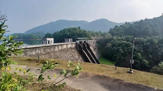
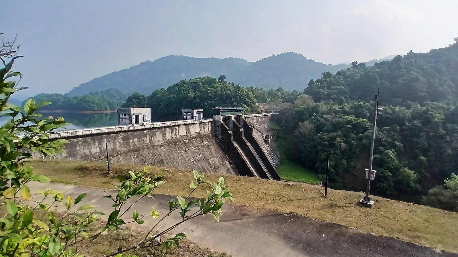
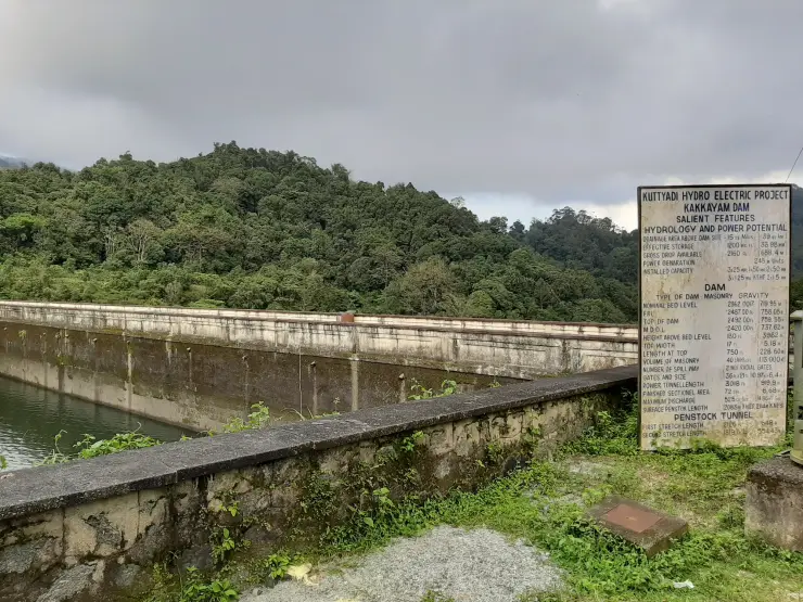
Above it is the Kuttiyadi Hydro Electric Project. Kakkayam Dam impounds the river at 739 metres, 3.45 kilometres away in a straight line. The scheme's powerhouse sits at seventy-eight metres and only 1.45 kilometres from this rock, with roads mapped up to it named for the power plant. The head drop between those two numbers is the entire point of the scheme, and what leaves the tailrace goes into the Kuttiyadi, and the Kuttiyadi runs across Kariyathumpara.
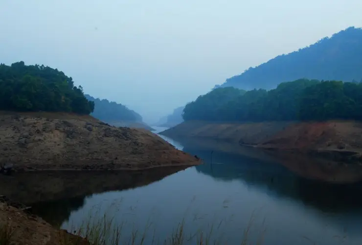
Below it is the Kuttiadi Irrigation Project. Peruvannamuzhi Dam holds the same river downstream, with a base at forty-eight metres and a surface at about sixty-three, and its reservoir polygon reaches east as far as this site. That single fact explains every description of Kariyathumpara that sounds wrong until you know it: the trees standing half-submerged in still water, the small islands, the placid river that does not look like a river. Half-drowned trees in flat water are the signature of a reservoir that flooded a wooded valley.
The ownership arrangement proves it better than any description could. The Kerala Government's information notice for the tourism committee lists, as joint co-convener, the Executive Engineer of the Kuttiyadi Irrigation Project. An irrigation engineer co-convenes a tourism committee because the beach is the irrigation project's reservoir margin.
The visitor consequence is that Kariyathumpara does not use the forest permit for Kakkayam Dam. The dam’s permit and ticket point stands 1.6 kilometres north and about sixty-three metres higher. Kariyathumpara is below it and outside the forest-entry regime that governs Kakkayam and Urakkuzhi.
As a tourism centre it is recent. It opened in October 2021, built with the cooperation of the Tourism Department, and it includes an amphitheatre. It closed after roughly four months and reopened on 21 February 2022. It closed again on 24 June 2024 on a heavy-rainfall warning and reopened that July on the District Collector's authorisation. In between, on 6 and 7 September 2022, it hosted Thonikkaazhcha, a two-afternoon local festival with cinema and television personalities, cultural programmes and a food market.
It is administered as one centre with Thonikkadavu, and the Malayalam heading on the government notice says so in as many words: one centre, two names. Thonikkadavu is the boat-jetty end of the same Peruvannamuzhi water, with a watchtower and the reservoir's islands, and the same thirty-rupee ticket admits you to both.
Two activities need putting in the past tense, because the state's own page puts them there and every English aggregator does not. The Kerala Government's information page describes horse riding here using the Malayalam past continuous — there used to be. On the government's own wording it has been discontinued. The cycling and horse-riding cluster that circulates under this name appears in fact to belong to a separate private garden at Koorachund. Whitewater rafting and canoeing, which one commercial site advertises here, have no support in any government or news source at all; there is a boat jetty at Thonikkadavu, which is a different activity at a different sub-site.
Asianet News reports that the place has backdropped numerous films, serials and music albums, and that it is the most visited of Koorachundu panchayat's tourism spots. We name no title, because none could be verified.
A wide bedrock shelf with a river running over it into the head of a reservoir — meadow, half-submerged trees, islands and the Kakkayam ranges behind — for a thirty-rupee ticket that also covers the Thonikkadavu boat jetty.
It is the swimming-and-picnic counterpart to everything else in this valley: at Kakkayam and Urakkuzhi bathing is the one thing forest staff will not allow, and here it is the whole point of the site.
It is easy. Forty-five kilometres and about fifty minutes from Kozhikode by road, on Irrigation Department land, with a staffed gate and no forest permit to arrange in advance.
It is a rare chance to read a landscape as engineering: a hydro powerhouse 1.45 kilometres upstream, an irrigation reservoir lapping at the site itself, and a tourism committee co-convened by an irrigation engineer.
It is genuinely locally run, by a panchayat-level committee that has put on its own festival — which is a better thing to support than most of what gets called community tourism.
And it is quiet in a way the dam is not, because most people who come to this valley are looking for the highland and drive straight past the lowland place where the water actually is.
Road km to Kozhikode; ghat roads and traffic vary — allow extra.
November to February and early mornings are best for walking; avoid midday heat where possible.
Live forecast loads in your browser.
Sun and moon are calculated for this location and shown in IST. Photography windows are the hour around sunrise and sunset; the sunset bearing is degrees clockwise from true north. Moon phase is accurate to about half a day.
These are official or public-sector eco offerings that match this place, town or forest destination. Confirm availability, permits, tariffs and reporting times with the official operator before travel.
Forest Department sightseeing in the Kakkayam reservoir landscape. Ask the local counter which Urakkuzhi paths and viewpoints are admitted; reservoir boating is a separate service.
Official source →Lake and forest-edge destination in Kozhikode district, included in Kerala Tourism’s ecotourism destination list.
Official source →Hill trek/viewpoint landscape where district borders meet, listed by Kerala Tourism as an ecotourism destination.
Official source →Verified hotels, homestays, restaurants, experiences, sights, shops and rentals around Kariyathumpara — commission-free, with direct contact. Filter by what you need.
Restaurant and resort dining at Le Montigo near Koorachund, Thonikkadavu and the Kakkayam route. Kakkayam, eat, Resort restaurant.
Book with the place itself. India’s cyber-crime coordination centre warned in April 2025 that convincing copies of hotel and pilgrimage booking sites are being pushed through sponsored search and social ads, taking payment for rooms the property never hears about. Every listing here links to the business’s own contact details and its own Google or Bing profile — we take no commission and sit in nobody’s payment path. If a booking page reached you through an ad, check the address bar against the property’s own site before you pay. Fraud can be reported on cybercrime.gov.in or on 1930.
Find food, accommodation and activities across Kakkayam. Browse the guides for places to eat, stay and explore along your route.
4 more places around Kakkayam. Open a guide to plan the visit and onward journey.
3.7 km · ~9 min by auto
Reservoir and forested day-trip area in the Western Ghats foothills.
10.0 km · ~17 min by cab
Kozhikode’s last evergreen forest block, notified in 2009 under section 18(1) as a declaration of intention and never finally declared — there is no gate, no permit and no wildlife programme, and you cannot go in.
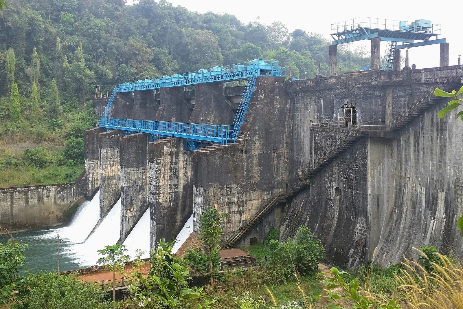
10.3 km · ~17 min by cab
Irrigation reservoir and boating spot in the Kozhikode high ranges, with a 1977 government crocodile breeding centre on the shore.
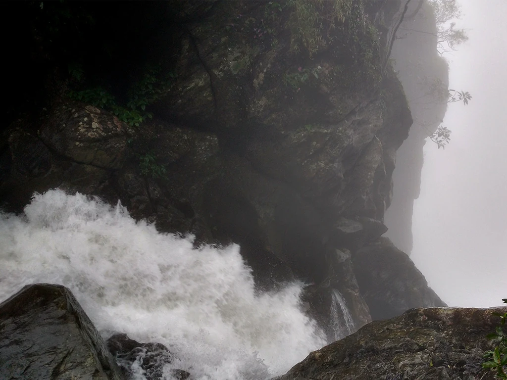
1.6 km · 20 min walk
The managed forest outing towards Urakkuzhi Falls above Kakkayam, distinct from reservoir boating. Confirm the admitted route with the forest counter: recent reports describe restrictions at the waterfall viewpoint and Shankaranpuzha.
Roampedia is commission-free — own or know a stay, eatery, guide or shop near Kariyathumpara? List it and it appears here once verified.
Add a nearby businessFees change without notice. Check the current rate at the counter.
Entry: ₹30 per person, and the same ticket also admits you to the adjacent Thonikkadavu boat jetty — the two are administered as one centre. Confirmed by Onmanorama on 11 November 2025, restating Madhyamam of 21 February 2022. 🛑 THERE IS NO FOREST PERMIT HERE and none is needed: the Kakkayam ticket point is 1.6 km north at 63 m and this site lies below and outside it, on Irrigation Department land. A ₹20 adult / ₹10 child split circulates in Malayalam search results and could not be attributed to any page — we do not print it.
Dress code: None, but wear shoes with real grip — this is wet bedrock with no railings — and cover your legs. Thick weed cover across the site was reported in November 2025 as harbouring snakes.
Festivals: The tourism committee ran its own festival, Thonikkaazhcha, on 6–7 September 2022 from 3 pm to 7 pm, with cultural programmes, cinema and television personalities and a food market. Whether it recurs annually is not established.
Photography: No restriction is reported, and the site is widely used for wedding photography. Asianet News reports it has backdropped numerous films, serials and music albums; no title could be verified, so we name none.
If you are travelling by bus or ferry, check the return service with the operator before setting out. Leave time to reach the stop or jetty after your visit.
Ask at the bus stand for the time of the last service back, not the next one. If you miss it, an auto or app cab is the fallback — agree the fare before you get in.
If you need step-free access, contact the site before travelling. Ask about a level entrance, steps along the route, the nearest drop-off point, seating and accessible toilets.
Emergency numbers are verified against official government and state tourism sources. 112 works anywhere in India.
The managed forest outing towards Urakkuzhi Falls above Kakkayam, distinct from reservoir boating. Confirm the admitted route with the forest counter: recent reports describe restrictions at the waterfall viewpoint and Shankaranpuzha.
1.6 km · 20 min walk · straight lineReservoir and forested day-trip area in the Western Ghats foothills.
3.7 km · ~9 min by auto · straight lineKozhikode’s last evergreen forest block, notified in 2009 under section 18(1) as a declaration of intention and never finally declared — there is no gate, no permit and no wildlife programme, and you cannot go in.
10.0 km · ~17 min by cab · straight lineIrrigation reservoir and boating spot in the Kozhikode high ranges, with a 1977 government crocodile breeding centre on the shore.
10.3 km · ~17 min by cab · straight line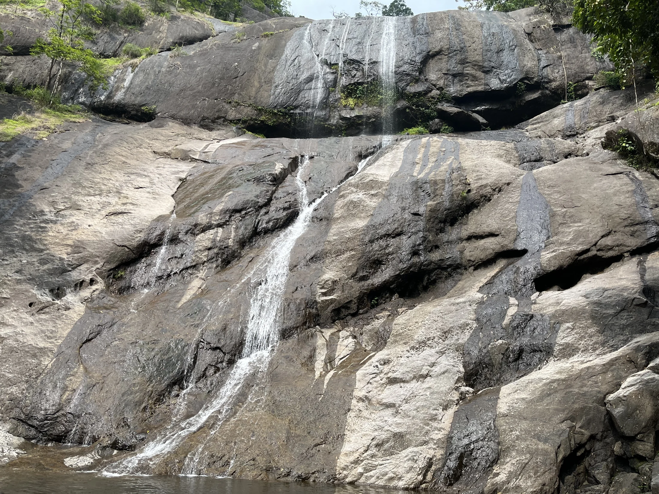
Forest Department waterfall trails near Kodencherry in Kozhikode: distinguish the ordinary waterfall entry, the Thumbithullumpara route and the separately approved Thenpara interior-forest trek.
18.5 km · ~31 min by cab · straight line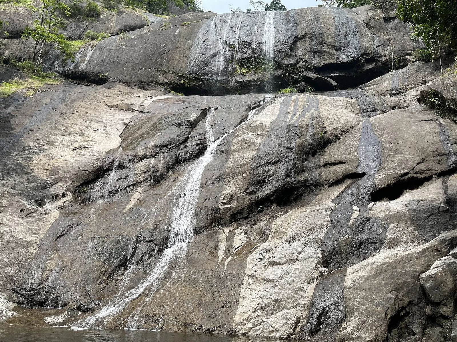
Waterfall and trekking area in the foothills east of Kozhikode.
18.7 km · ~31 min by cab · straight line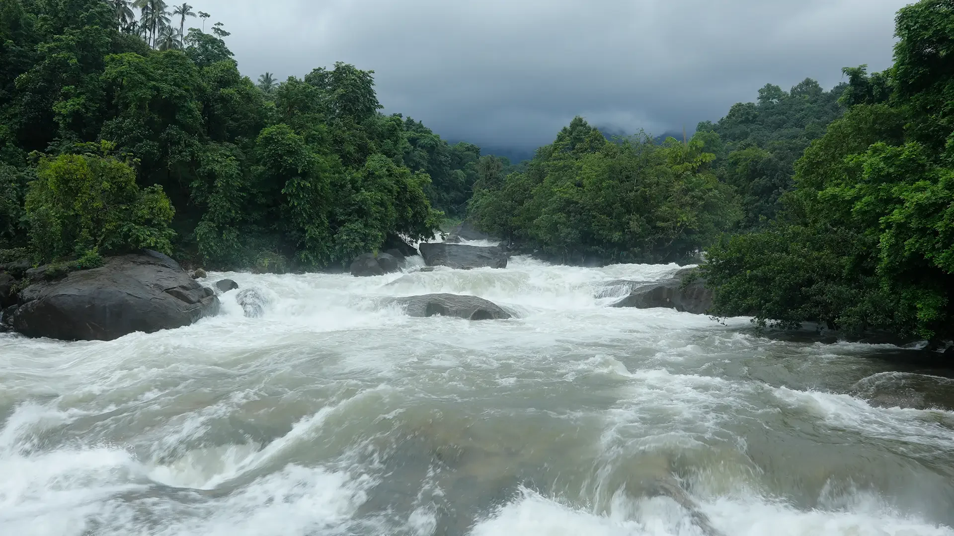
Arippara is a sequence of rocky cascades on the Iruvanjippuzha near the Thiruvambady–Anakkampoyil route, with a visitor approach beside a hanging bridge; it is separate from Thusharagiri.
19.9 km · ~33 min by cab · straight line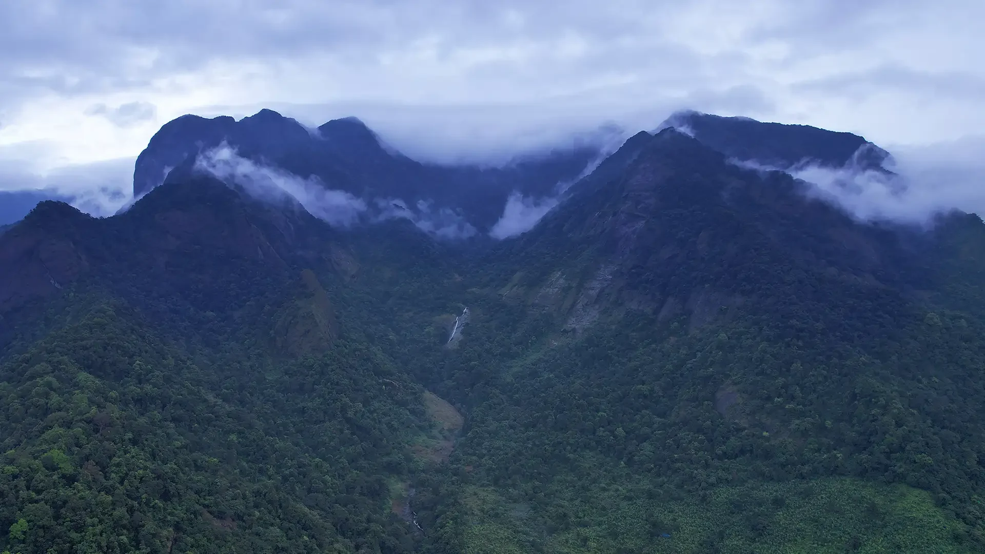
Vellarimala is the mountain range above Muthappanpuzha, extending across Kozhikode and Wayanad. The arrival pin identifies Muthappanpuzha village, not the summit or an authorised trail entrance.
23.3 km · ~39 min by cab · straight line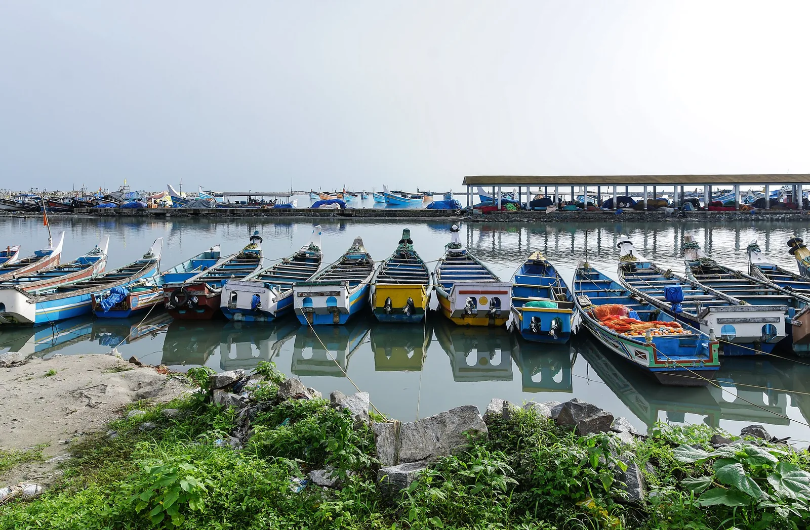
The medieval port of Panthalayani Kollam — Ibn Battuta’s Fandarayna, where Chinese junks wintered, and the anchorage where da Gama’s fleet lay 88 days in 1498. Nothing of the port survives above ground; the working fishing harbour is what you come for.
24.9 km · ~41 min by cab · straight line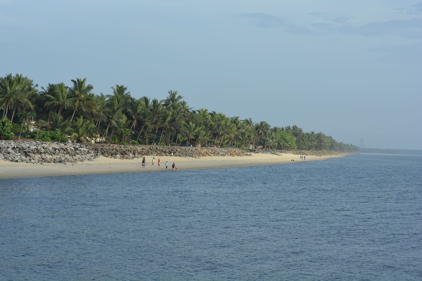
Historic beach associated with Vasco da Gama’s arrival on the Malabar coast.
25.6 km · ~43 min by cab · straight line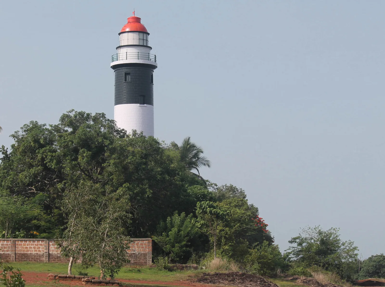
A 1909 lighthouse on the laterite headland at Kadalur Point, built to mark the submerged Sacrifice Rock eight kilometres offshore.
29.0 km · ~48 min by cab · straight line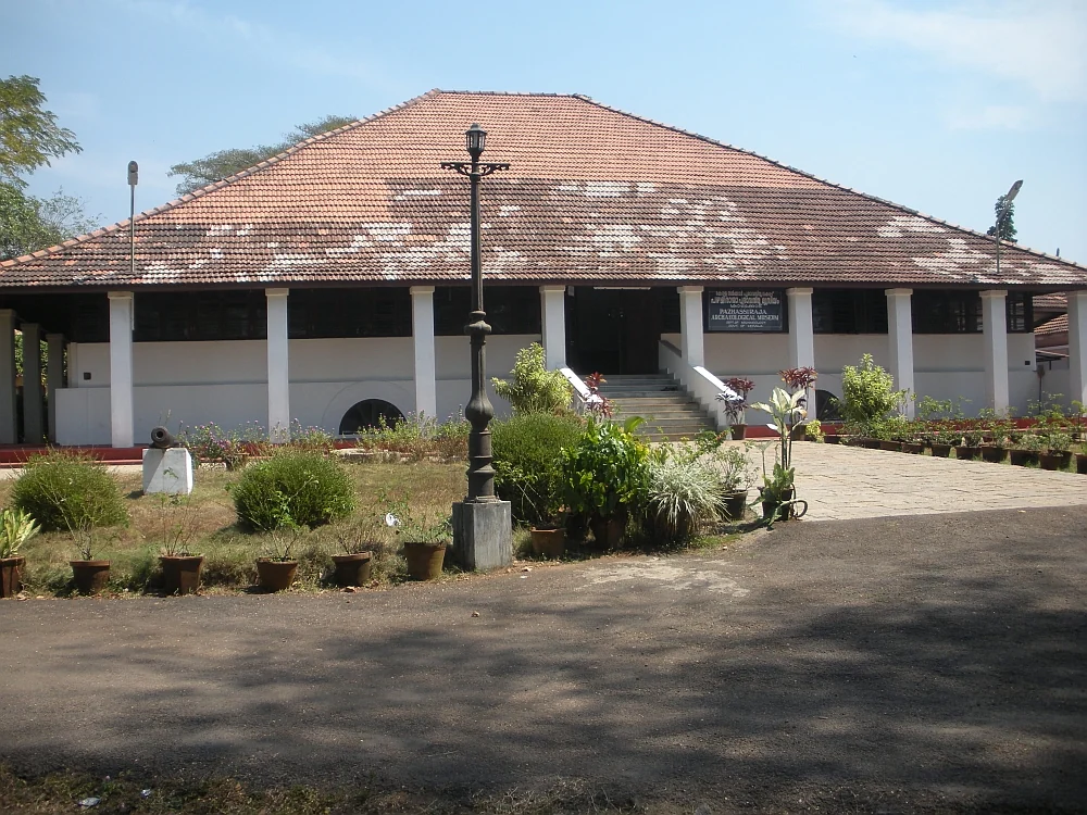
State archaeology museum at East Hill in an 1812 bungalow, with murals, bronzes, coins and megalithic monuments.
29.9 km · ~50 min by cab · straight lineNeither. It is at 57 metres, in a hollow, with the ground rising to 75–87 metres all round it. There is no climb and there is no drop. You drive the Estate Mukku–Kakkayam road, park, and walk onto a rock. The high viewpoint people mean when they describe a rock shelf with a long drop is Vayalada, 4.7 km south-west at 582 metres.
This is the question the page exists for, and the honest answer is that the absence of a cliff is why people underestimate it. Madhyamam, reporting the centre's February 2022 reopening, put the number who had drowned at the rock passage at eleven — a mainstream Malayalam daily's cumulative figure, not an official tally. A 20-year-old drowned here on 25 August 2024. The rock passage is under standing restriction and is closed outright when the flow is high, and the staff roster includes a lifeguard. Treat the water seriously.
₹30 per person, and that ticket also covers the adjacent Thonikkadavu boat jetty (Onmanorama, 11 November 2025, confirming Madhyamam in February 2022). You do not need a forest permit: the Kakkayam ticket point is 1.6 km north and this site lies below and outside it, on Irrigation Department land.
No operator has published them. Aggregator sites uniformly give 9 am to 6 pm daily and they copy one another; the only first-hand indication we have is Madhyamam's reopening-day report, in which visitors were cleared at 5 pm. Treat the hours as unconfirmed and check locally before travelling.
It closes on heavy-rainfall warnings, and that is well evidenced rather than assumed. It was shut on 24 June 2024 on a rain warning and reopened in July on the District Collector's authorisation, and it had been closed for about four months before the February 2022 reopening. Check before setting out in the rains.
Snakes and exposure. Onmanorama reported in November 2025 that the site had been left to thick weed cover harbouring reptiles, with a child hospitalised after a snakebite, and that there is no shelter of any kind against rain or sun. Wet bedrock is also slippery and the rock has no railings.
3.45 km in a straight line and 16.6 km by road — and 680 metres below it. Kerala Tourism's own page says 27 km, which does not reproduce by any method we tested, and we do not print it. From Kozhikode city it is 45.5 km, roughly 50 minutes, which does reproduce and matches the state's figure exactly.
No. It is an alternate transliteration of Kariyathumpara. Duplicate map markers 291 metres apart helped create the confusion, but there is one visitor site and one ticket.
November to February and early mornings are best for walking; avoid midday heat where possible.
Entry: ₹30 per person, and the same ticket also admits you to the adjacent Thonikkadavu boat jetty — the two are administered as one centre. Confirmed by Onmanorama on 11 November 2025, restating Madhyamam of 21 February 2022. 🛑 THERE IS NO FOREST PERMIT HERE and none is needed: the Kakkayam ticket point is 1.6 km north at 63 m and this site lies below and outside it, on Irrigation Department land. A ₹20 adult / ₹10 child split circulates in Malayalam search results and could not be attributed to any page — we do not print it. Timings: ⚠ NO OPERATOR HAS PUBLISHED HOURS. Aggregator sites uniformly give 09:00–18:00 daily and they copy one another; the only first-hand indication is Madhyamam's report of the 21 February 2022 reopening, in which visitors were cleared at 17:00. Treat the hours as unconfirmed and check locally before travelling. The rupee figure quoted is the Indian adult rate.
Base yourself in Kakkayam or a nearby town in Kozhikode, then confirm the last-mile route locally before leaving. Walkable heritage areas are best done slowly; combine nearby streets, museums, markets and food stops. If the visit depends on forest, temple, boat, ferry, weather or seasonal access, check the official/local rule on the day before travel.
1 to 3 hours.
Nearby you can pair Kakkayam trek (1.6 km), Kakkayam Dam (3.7 km), Malabar Wildlife Sanctuary (10.0 km), Peruvannamuzhi Dam (10.3 km).
Watch traffic on narrow heritage streets. Keep valuables close in crowded markets.
Written about Kariyathumpara itself — its history, its legends and the arguments about them.
These guides explore Kakkayam and the surrounding area. Choose a visit that fits your interests, allowing separately for travel between stops.
Route-level itineraries and practical guides for the rest of Kerala.
Photographs: Shagin sunny (CC BY-SA 4.0), Nativeplants garden (CC BY-SA 4.0). Wikimedia Commons.


