What to expect
Highlights
- Trek route around Kalvari Mount ecotourism viewpoint
- Western Ghats landscapes and viewpoints
- Guided operator and permit planning
Idukki reservoir viewpoint and pilgrimage hill, connected with Kerala Forest Ecotourism listings.
Road km to Idukki; ghat roads and traffic vary — allow extra.
Post-monsoon to late winter is usually best; avoid heavy-rain days and closed forest periods.
These are official or public-sector eco offerings that match this place, town or forest destination. Confirm availability, permits, tariffs and reporting times with the official operator before travel.

Forest and reservoir wildlife sanctuary around the Idukki-Cheruthoni dam landscape.
Official source →
Idukki reservoir viewpoint and pilgrimage hill, connected with Kerala Forest Ecotourism listings.
Official source →Verified hotels, homestays, restaurants, experiences, sights, shops and rentals around Kalvari Mount ecotourism viewpoint — commission-free, with direct contact. Filter by what you need.
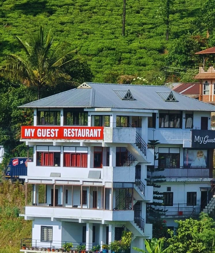
Kuttikkanam restaurant in Idukki and Cheruthoni. My Guest Restaurant, NH-183, Theni By-Pass, Pambanar, Peerumade, Idukki, Kerala 685531 · Restaurant menu pricing · Kuttikkanam, Pambanar, Restaurant.
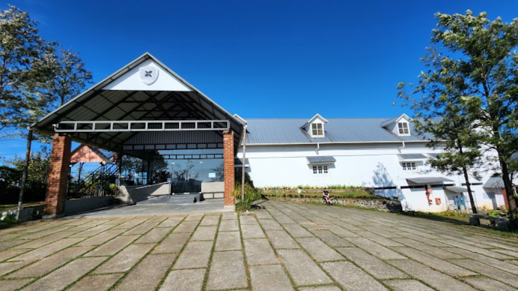
Kuttikkanam restaurant in Idukki and Cheruthoni. Agincourt, Kuttikkanam, Peerumedu, Idukki, Kerala 685531 · Kuttikkanam, Restaurant, Peerumedu.
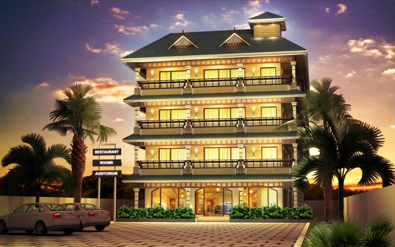
Hotel restaurant in Idukki and Cheruthoni. Igloo Heritage Resorts, Cheruthoni, Idukki district, Kerala · idukki-and-cheruthoni, eat, Hotel restaurant.
Book with the place itself. India’s cyber-crime coordination centre warned in April 2025 that convincing copies of hotel and pilgrimage booking sites are being pushed through sponsored search and social ads, taking payment for rooms the property never hears about. Every listing here links to the business’s own contact details and its own Google or Bing profile — we take no commission and sit in nobody’s payment path. If a booking page reached you through an ad, check the address bar against the property’s own site before you pay. Fraud can be reported on cybercrime.gov.in or on 1930.
Find food, accommodation and activities across Idukki and Cheruthoni. Browse the guides for places to eat, stay and explore along your route.
21 more places around Idukki and Cheruthoni. Open a guide to plan the visit and onward journey.
A Peerumedu ridge walk through plantation and high-range scenery, with access dependent on the chosen trail, land permission and current weather.
The long pedestrian suspension bridge above the Idukki reservoir at Ayyappancoil, valued for water and hill views as well as the crossing itself.
A secluded waterfall below Kuttikkanam whose approach has depended on estate tracks and regulated jeep routes; current legal access must be established first.
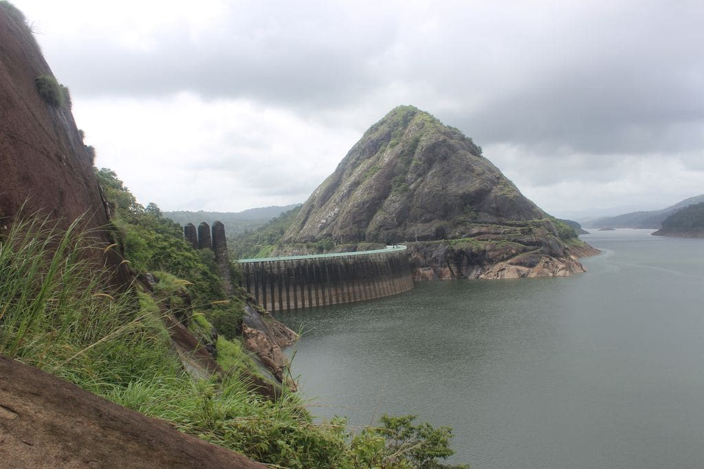
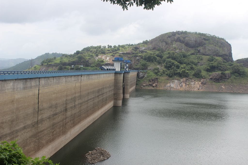
The 138-metre concrete gravity dam a kilometre west of the Idukki arch dam, carrying the five radial gates that are the only spillway for the whole Idukki reservoir — the gates opened in a south-west monsoon for the first time on 9 August 2018.
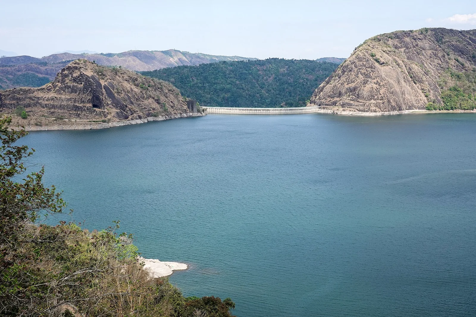
The DTPC’s eight-acre garden and viewing park on the Vellappara shoulder above the Idukki reservoir, about 350 ft above the water. It is the dependable way to see the Idukki arch dam — strung between Kuravanmala and Kurathimala, roughly 1.6 km east-north-east — because the dam crest itself is shut most of the year and this is open every day from 08:00 to 19:00.
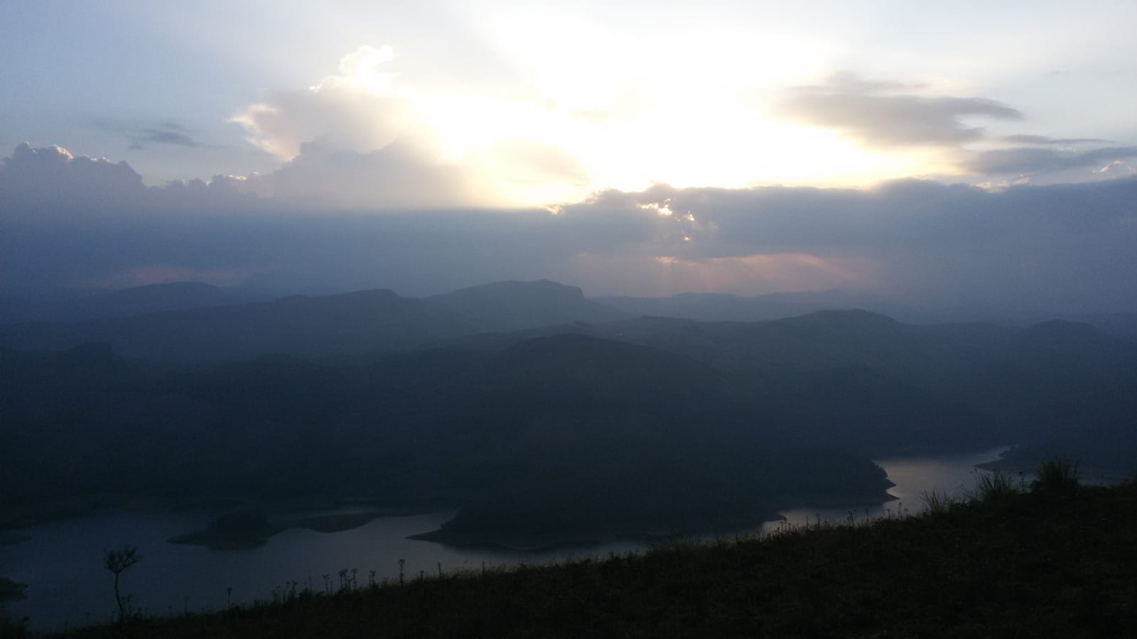
Reservoir-view hill point near Idukki and Cheruthoni, useful for scenic drives, photos and central high-range itineraries.
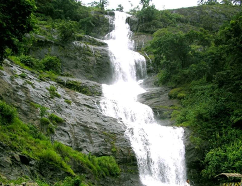
Waterfall on the Kochi-Munnar road, commonly paired with Valara as a high-range arrival stop.
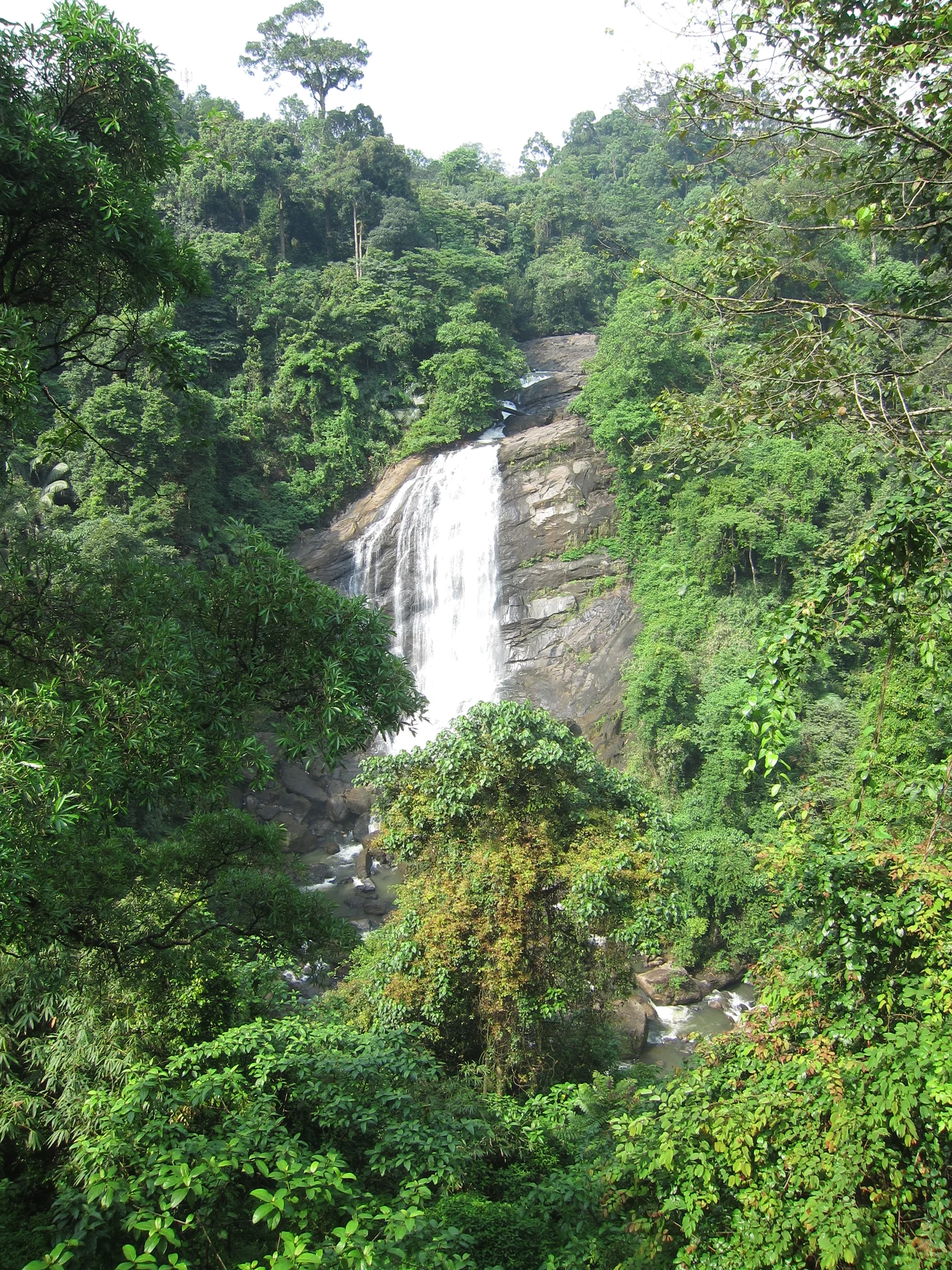
Valara is the forest-framed Deviyar cascade beside NH85 between Neriamangalam and Adimali in Idukki. It is a separate roadside stop from Cheeyappara, with viewing from the road and no assumed access to the waterfall base.

Peermade, also written Peerumedu or Peermede, is a plantation settlement and highland landscape on the Kottayam–Kumily road in Idukki. The map uses the town centre as a visitor base, not a single hilltop attraction.

Meadow and hill-viewpoint landscape near the Peermade/Kuttikkanam side of Idukki.

Peermade-side hill-station and adventure-tourism area, useful for tea estates, pine roads and central high-range routing.
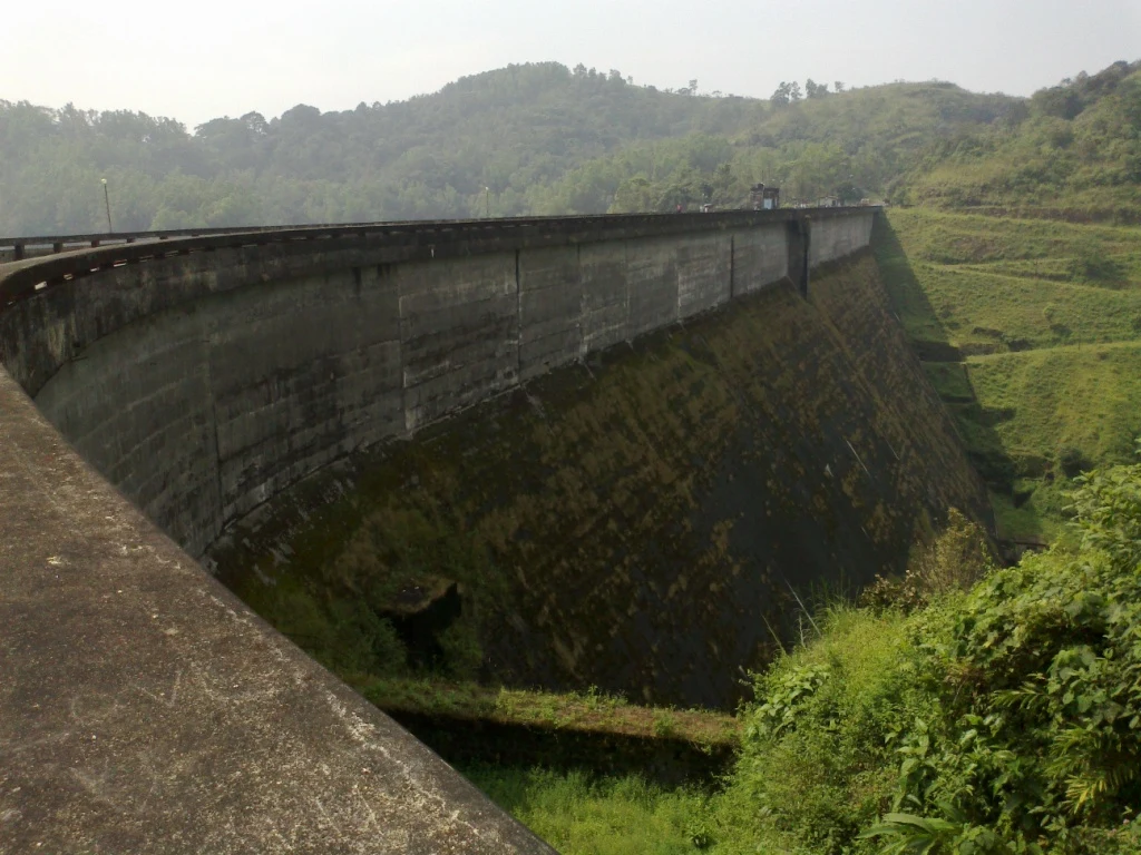
Kulamavu is KSEB’s gravity dam on Kilivallithodu and one of three dams forming the Idukki reservoir. Visit through the hydel-tourism arrangements; reservoir views do not authorise entry to restricted infrastructure.
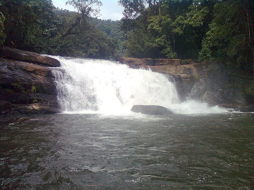
Seven-step cascade and eco-tourism trekking spot on the Kaliyar river near Thodupuzha, with rock pools, forest paths and a Forest Department eco-tourism trail.
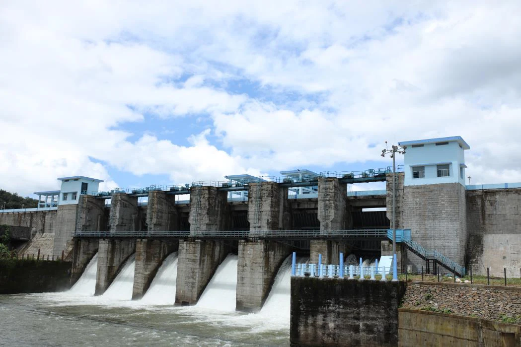
An Irrigation Department dam and reservoir at Muttom near Thodupuzha, storing Thodupuzha River runoff and Idukki power-station tailwater for the Muvattupuzha Valley Irrigation Project; the visitor park has its own permitted areas.
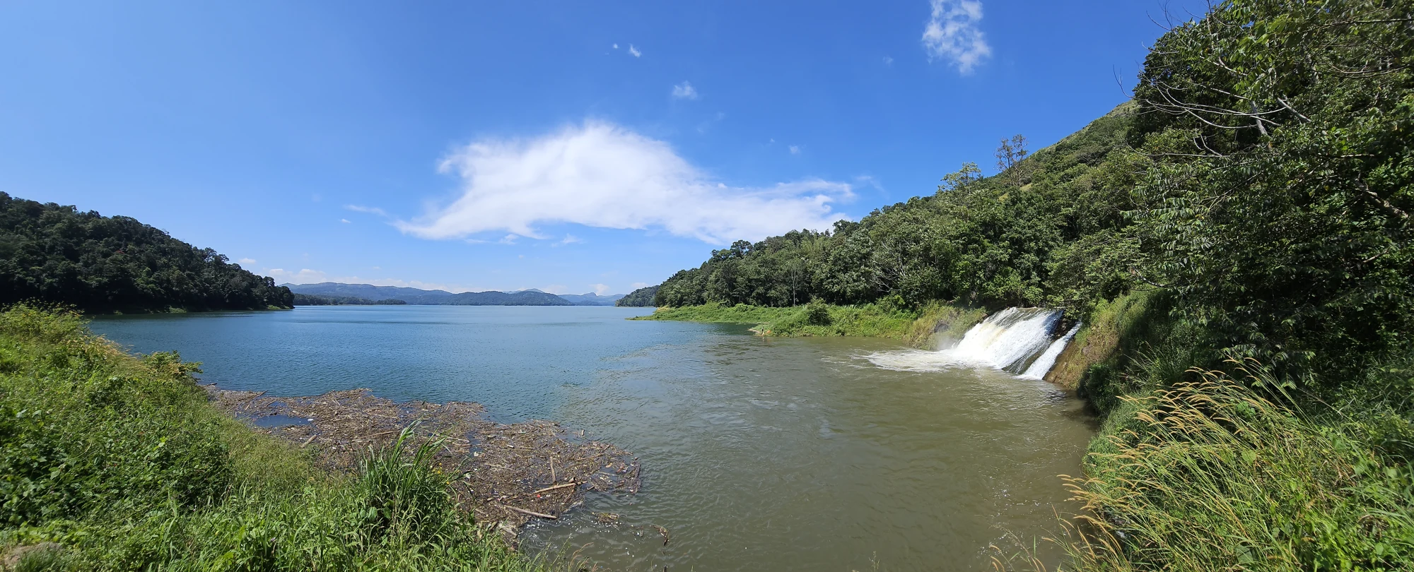
The Anchuruli reservoir-side landscape near Kattappana, where the Erattayar diversion tunnel discharges towards Idukki reservoir. Plan an exterior viewpoint visit; the water tunnel is working infrastructure.

Protected forest around the Idukki and Cheruthoni reservoirs near Painavu, with hilly evergreen woodland, elephants and boat-and-trek access arranged through the Forest Department.
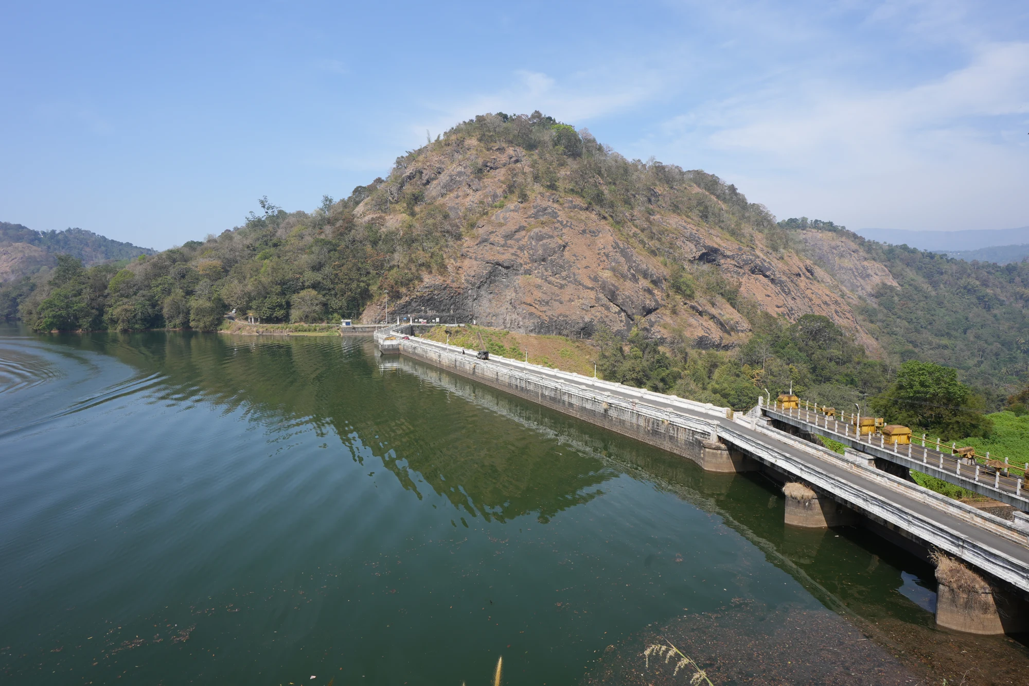
KSEB’s Panniyar-project dam at Konnathadi near Rajakkadu and Vellathooval in Idukki; a reservoir-and-engineering visit, distinct from Ponmudi hill station in Thiruvananthapuram.
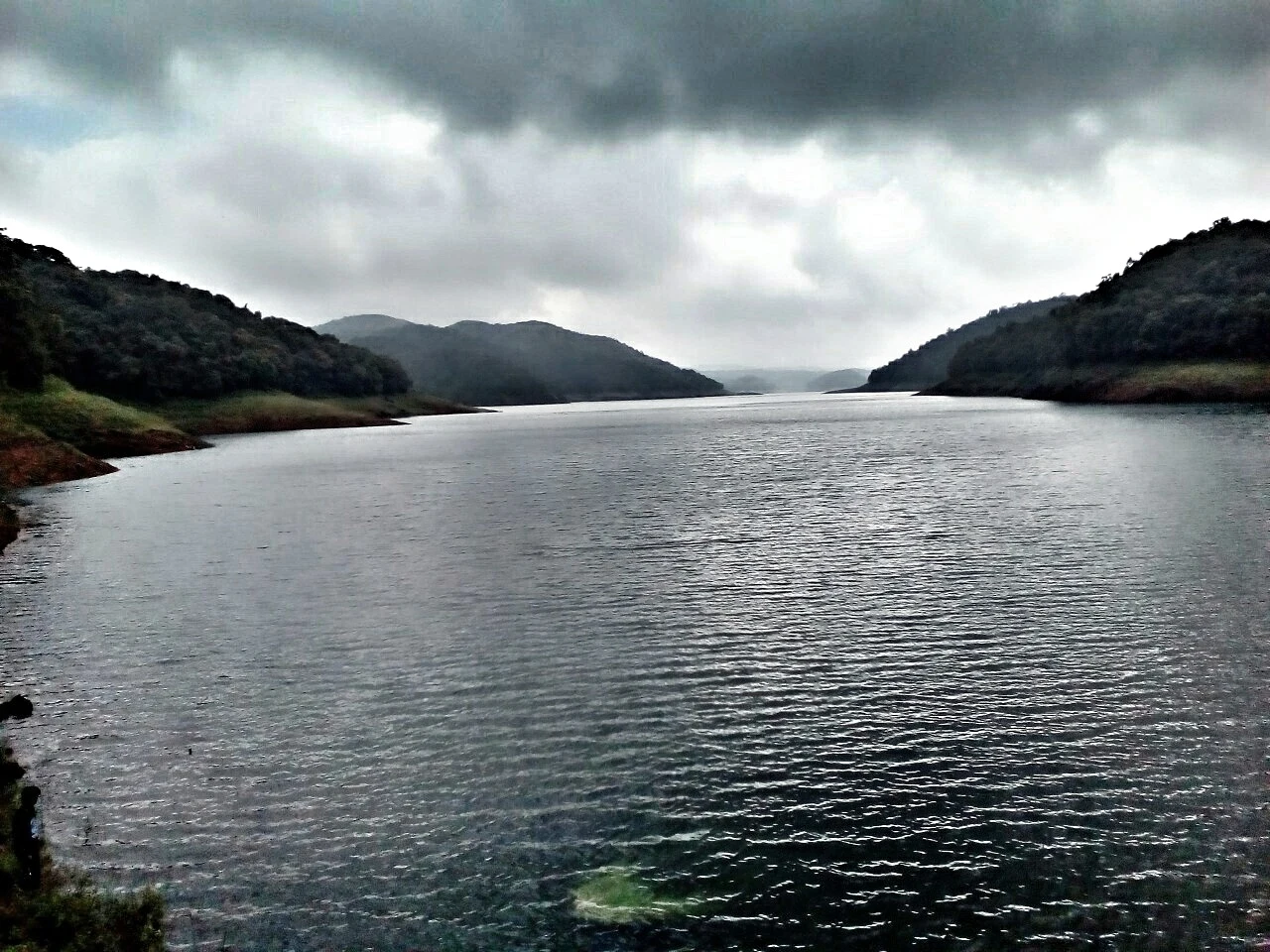
The hill headquarters town of Idukki district near the arch dam, a quiet high-range base for Idukki–Cheruthoni dam-side sightseeing and the surrounding reservoir viewpoints.
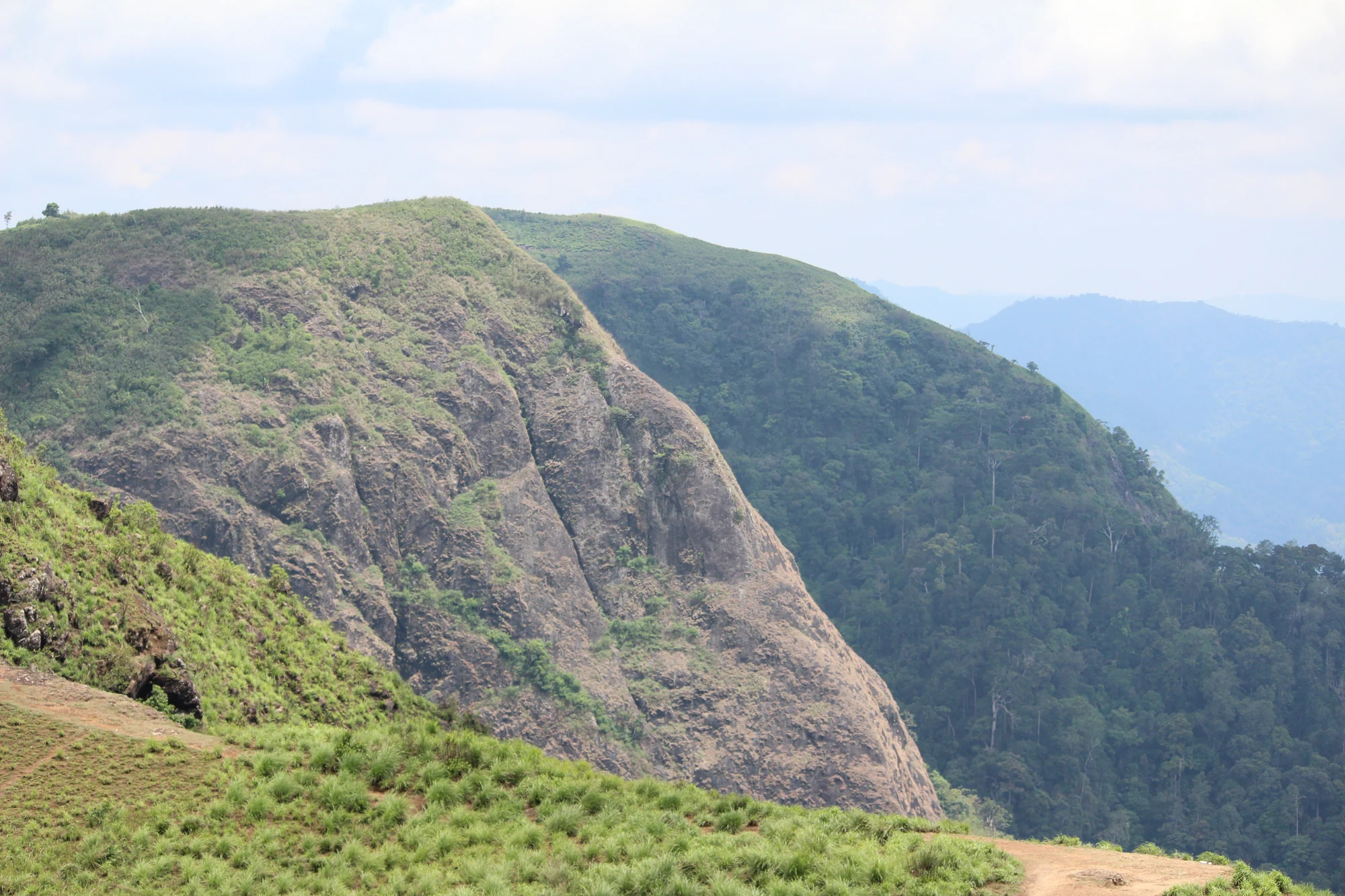
A rock-and-grass viewpoint near Peermade on the Pambanar side of Idukki, overlooking steep wooded ravines; known as Eagle Rock and for the profile-like Tagore Rock formation.
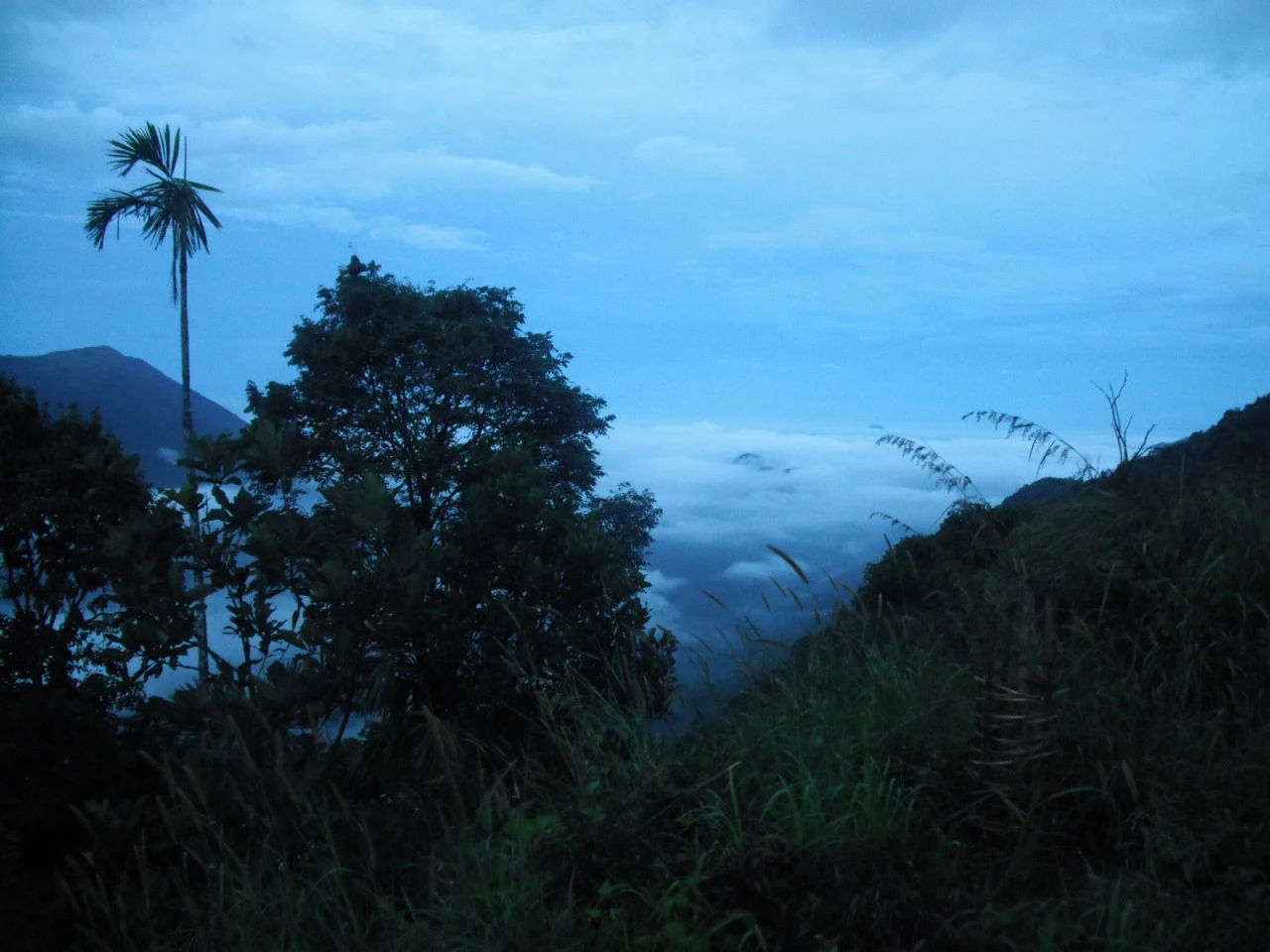
Ghat viewpoint on the Thodupuzha–Puliyanmala road overlooking the Idukki high range, a popular stop for valley views and cool breezes.
Roampedia is commission-free — own or know a stay, eatery, guide or shop near Kalvari Mount ecotourism viewpoint? List it and it appears here once verified.
Add a nearby businessPost-monsoon to late winter is usually best; avoid heavy-rain days and closed forest periods.
Base yourself in Idukki and Cheruthoni or a nearby town in Idukki, then confirm the last-mile route locally before leaving. Confirm permits, guide requirement and reporting point before travel; many Kerala treks are controlled by forest authorities. If the visit depends on forest, temple, boat, ferry, weather or seasonal access, check the official/local rule on the day before travel.
Half day to full day unless officially listed as multi-day.
Use approved guides where required. Do not enter closed forest routes or trek in heavy rain.
We have not published a story about Kalvari Mount ecotourism viewpoint itself yet. These cover Idukki and Cheruthoni and the wider district, with separate journeys between stops.
These guides explore Idukki and Cheruthoni and the surrounding area. Choose a visit that fits your interests, allowing separately for travel between stops.


Route-level itineraries and practical guides for the rest of Kerala.
Photographs: Department of Tourism, Government of Kerala (© Kerala Tourism), Alanjs (CC BY-SA 4.0). Wikimedia Commons.


