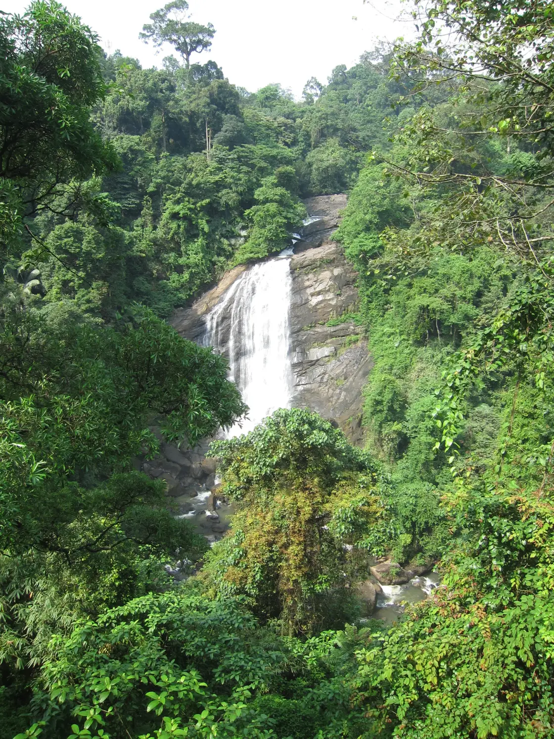
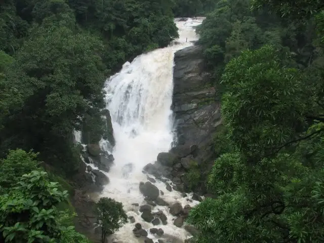
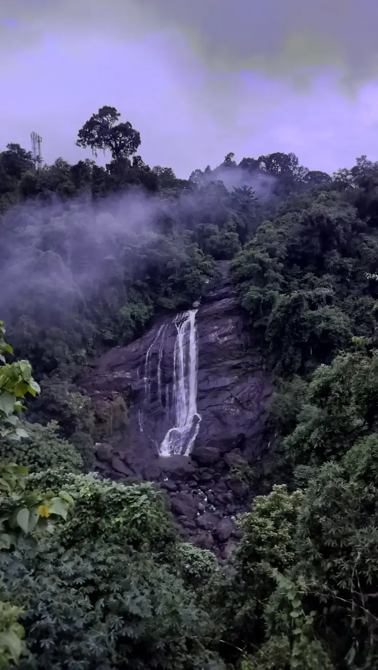
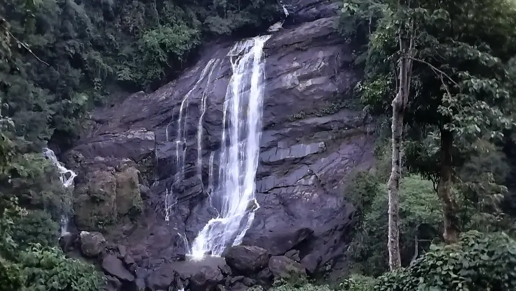
Valara appears through a break in dense green cover: a white fall crossing a broad dark rock face, with smaller channels above and boulders below. Trees frame the scene at several distances. The road is close enough to reveal the cascade, but the space between the viewer and the water remains a steep, uneven ravine.
The story of Valara Waterfalls
Valara lies between Neriamangalam and Adimali on the road used by travellers approaching Munnar from the Kochi side. It is a roadside viewing stop in Idukki district, not a waterfall inside Munnar town. A route description that begins only with “near Munnar” hides the useful geography: the stop belongs to the lower approach corridor before the later climb and tea-town destination.
The current Kerala Tourism destination account identifies Valara as part of a chain of cascades on the Deviyar. OpenStreetMap maps the named Deviyar watercourse through the waterfall as well. Older tourism material describes the broader Periyar relationship. These are best understood at different scales: the immediate waterfall is on the Deviyar, within the wider Periyar basin, rather than a drop in the broad main river beside Neriamangalam.
The cascade’s form is clearer if the eye follows the water from top to bottom. Above the main fall, the channel crosses smaller changes of level between trees and rock. The larger exposed face concentrates the flow into a brighter drop, while boulders and vegetation interrupt the view below. The visible main fall is one part of the channel’s descent, not a complete picture of the river from source to confluence.
In lighter flow, the rock becomes the main visual subject. Dark wet streaks show where water spreads thinly, while paler or drier surfaces reveal ledges and fractures around the principal channel. A narrow stream can split around a projection and rejoin lower down. These details make a quieter-season visit different from a monsoon view without making it worthless; the structure of the slope is easier to read when it is not hidden by a broad sheet of water.
Heavier flow changes the balance. White water can occupy more of the face, spray softens the contrast and the lower channel becomes harder to distinguish among boulders. The most dramatic-looking image can therefore reveal less of the underlying rock. It also gives no reliable measure of present conditions: a photograph records the flow at one moment, while rainfall and catchment conditions keep changing.
The trees are part of the composition and part of the terrain. Near branches can frame the view; taller trees rise around the upper slopes; climbing vegetation covers patches beside the fall. The interruption of those layers is what allows the water to be seen from the road. Moving closer to remove a branch from a photograph is not necessary when doing so would mean leaving a stable viewing position.
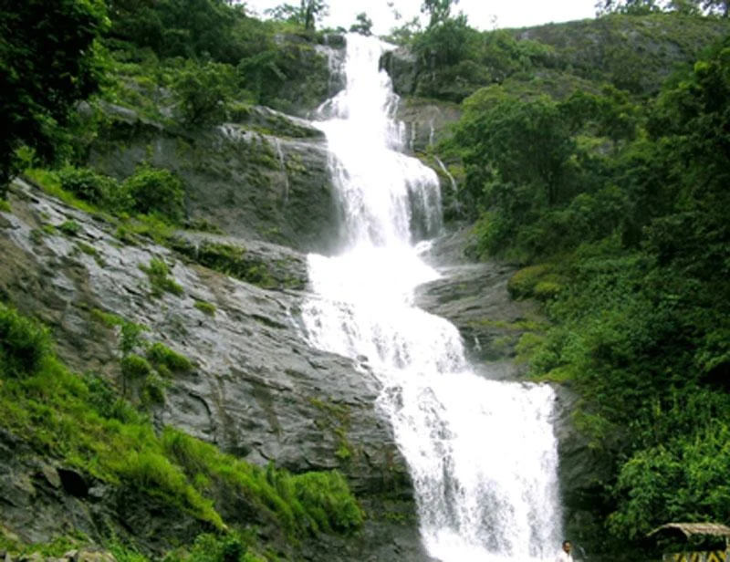
Valara and Cheeyappara are often presented together because they lie on the same travel corridor. That pairing is useful for planning, but it encourages facts and photographs to migrate between them. Cheeyappara is the waterfall Kerala Tourism describes through its seven tiers. Valara’s more concentrated fall and forest framing are its own visual identity. A caption should be checked against the actual rock-and-water pattern, not merely against a file labelled with the joint destination.
The visitor experience is also different from an enclosed attraction with a ticket counter and a managed path. Here the immediate decision is whether the roadside offers a safe place to stop and stand. A waterfall that is visible from a highway does not automatically have a parking area, pavement, viewing deck or staffed rescue provision. Those facilities need to be present and identifiable on the day rather than supplied by an itinerary’s expectations.
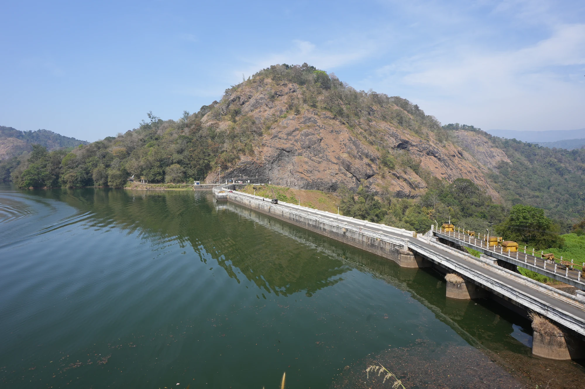
The map deliberately anchors the highway opposite the cascade rather than the waterfall node in the channel. Navigating to a point on falling water can produce a misleading final route, especially when software tries to find the nearest track. The road anchor is a way to identify the correct stretch of the journey. It does not instruct a driver to halt at an exact metre of carriageway regardless of traffic or restrictions.
Vehicle doors, people waiting for a photograph and vendors can all occupy the same limited roadside space. A driver needs room to pull clear, and passengers need a safe way to get out on the protected side. If either is missing, a drive-by glimpse is the sensible visit. The cascade does not require a longer stop simply because it appears in a package itinerary.
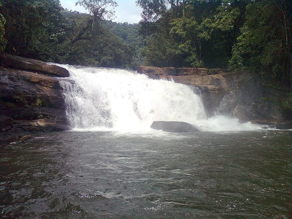
Upstream and downstream conditions matter even when the sky directly over the road looks clear. Water arriving at the drop has travelled through a catchment outside the frame. A brief lull in local rain is not proof that the channel is stable, and a small visible pool is not a reliable guide to the force passing through it. The roadside view avoids turning an accessible sight into an unnecessary water-entry attempt.
A short stop can still be attentive. First establish the whole scene from a safe position, then look at the channel above the main fall, the exposed face and the lower boulders in turn. There is no need to descend into the ravine to understand that sequence. A closer camera view, where it can be taken without moving towards an edge, can reveal details that the eye initially misses.
Adimali and Neriamangalam provide the useful road context for the rest of the journey. A meal, fuel stop or longer rest is better planned at an actual town facility than assumed at a narrow waterfall halt. Munnar can remain the onward destination, but its hotel and activity schedule should not pressure a driver into a rushed stop or a risky overtake immediately after leaving Valara.