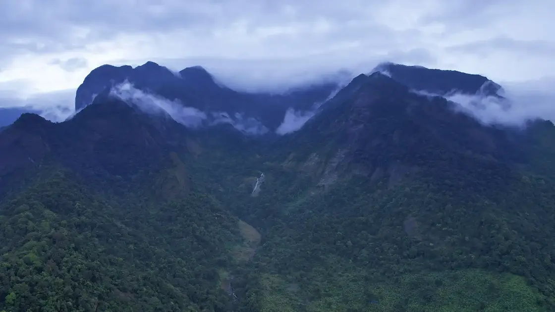
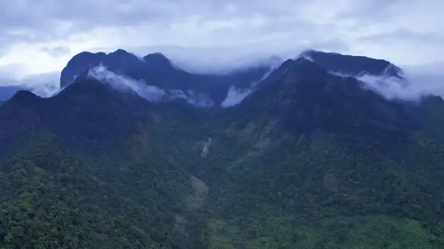
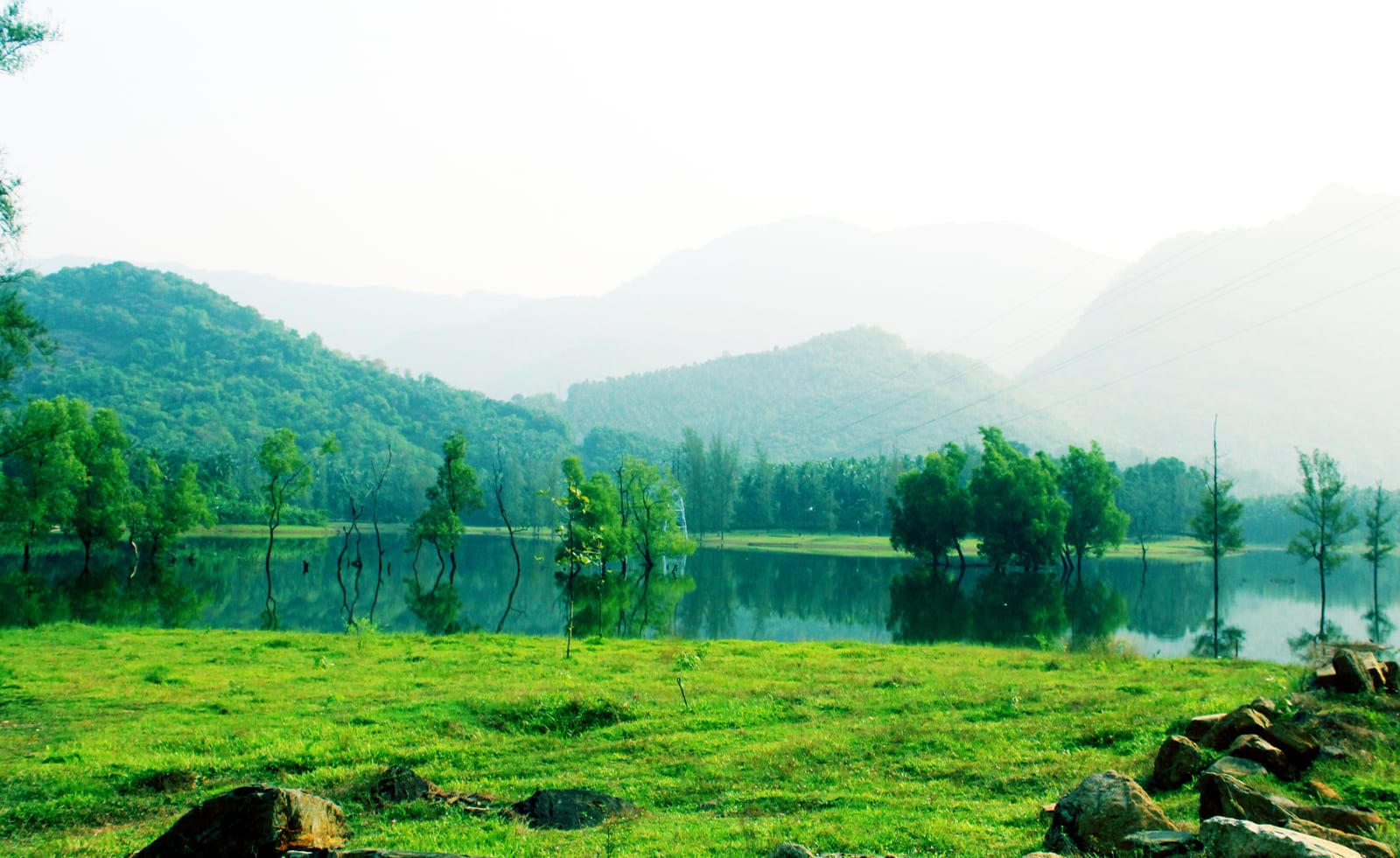
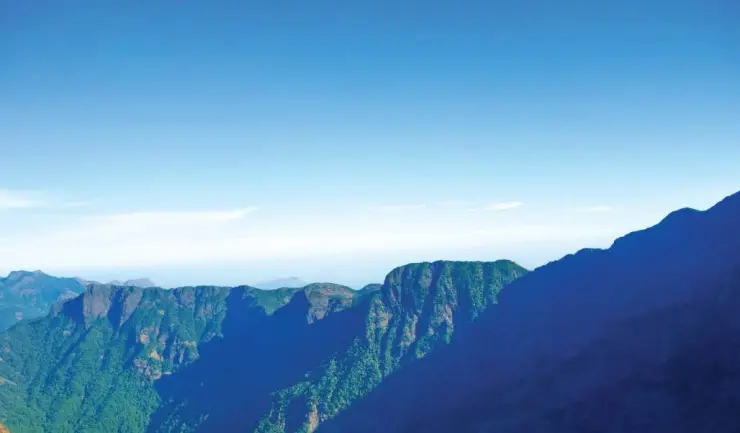
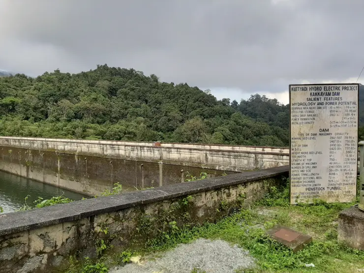
Vellarimala begins as a wall of green above the foothills and becomes a more complex landscape as its ridges emerge from cloud. The range contains rocky heights, forested ravines and streams that feed the country below. Its identity lies in that connected mountain system, not in a single roadside viewpoint.
The story of Vellarimala trek
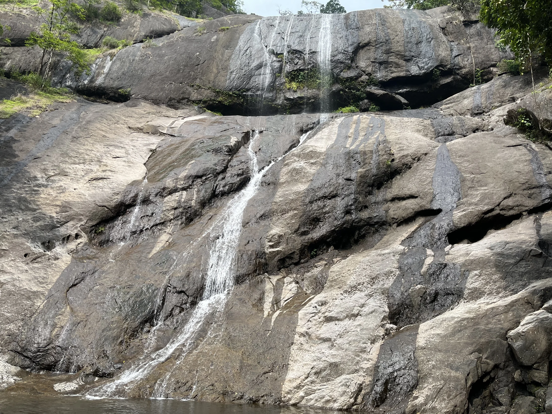
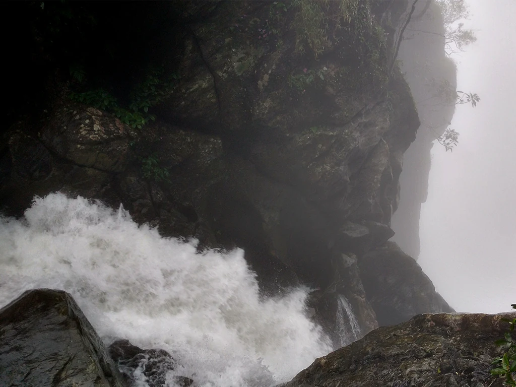
From below, the most immediate feature is the steepness of the wooded slopes. Cloud can hide the upper outlines while leaving the lower ravines visible. A narrow waterfall may appear as a pale line against the vegetation, but the mountain is much larger than that one feature. Reading the whole slope helps explain why this is a serious forest landscape rather than a short cascade walk.
DTPC Kozhikode places Vellarimala partly in the Thamarassery range and largely on the Wayanad side. The forest department’s Aranyam account similarly connects the mountains with Thamarassery and Meppadi. District names are therefore useful for describing the approach, but they do not divide the range into two unrelated destinations.
Vavul Mala is identified by DTPC as the range’s highest peak at 2,339 metres. That figure belongs to the peak. Muthappanpuzha, the village used as the approach reference on this page, is a different kind of place: a settlement from which the mountain country is approached. Keeping those two scales separate is essential when planning transport and judging the effort involved.
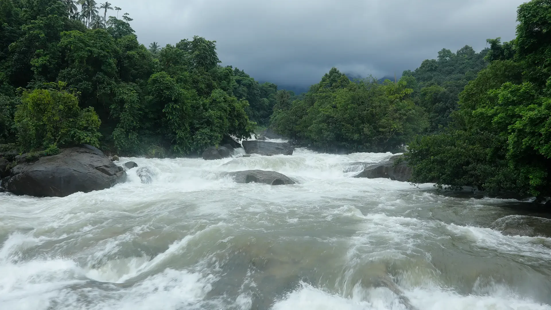
The water landscape extends beyond the ridge. Aranyam describes the Iruvanjippuzha headwaters in these mountains, linking the high ground with the Chaliyar system. Rain falling across the slopes is gathered into channels and ravines before reaching more familiar lower-river locations. A visit to Arippara farther down the system can therefore be understood in relation to the mountains without pretending it is part of the same walking route.
The department’s mountain account names places along a demanding route, including Olichuchattam and higher rocky landmarks. These names document a landscape and its trekking history. They do not establish that a route is open on a particular date, that an old crossing remains usable, or that an overnight halt is currently allowed.
The forest’s variety appears at several heights. Aranyam’s botanical account includes tall trees such as Dipterocarpus indicus and Hopea parviflora, climbing plants including Hoya and Ichnocarpus, and much smaller orchids and herbs. These are different ways of occupying the mountain environment. A distant photograph merges them into a green slope; a closer look reveals leaves, stems and branches using the space in different ways.
Muthappanpuzha also gives the journey a human scale. It is a named settlement on the Kozhikode side, reached through a chain of lower-country places rather than by a road to the summit. For a visitor, that makes the agreed village arrival and return arrangement consequential. The final road destination should be settled before any discussion of a high trail.
Thusharagiri is nearby in the wider travel region but has its own managed programmes, entry arrangements and waterfall geography. Its short visitor routes cannot serve as a measure of Vellarimala’s difficulty. Using one as a substitute name for the other obscures both places and can produce a badly planned day.
The most useful way to approach Vellarimala is with a clear division between learning about the range and entering it. Its mountain outline, drainage and documented vegetation can be understood before a trek is authorised. If a permitted journey is arranged, those details then give the walk a purpose beyond reaching an elevation figure.
The mountain outline also changes with distance. Near the foothills, individual ravines and cliff faces interrupt the slope. Farther away, several high points can merge into a single dark ridge. This helps explain why a range name, a peak name and a route landmark can all appear in descriptions of Vellarimala without being interchangeable. Vavul Mala identifies the high summit; Swargamkunnu, RECpara and Mastakappara are other named features in the department’s account. None is an alternative address for a vehicle pickup.
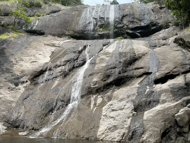
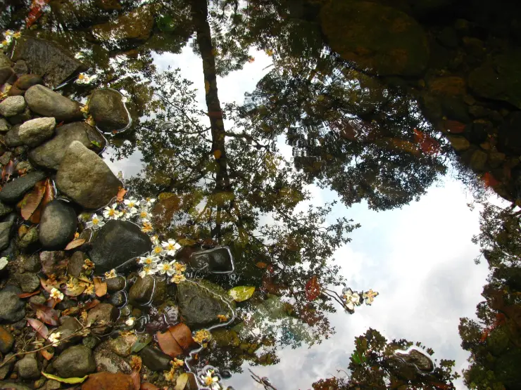
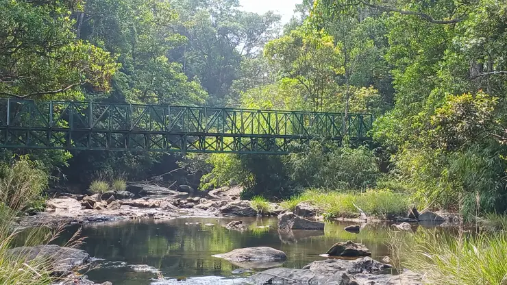
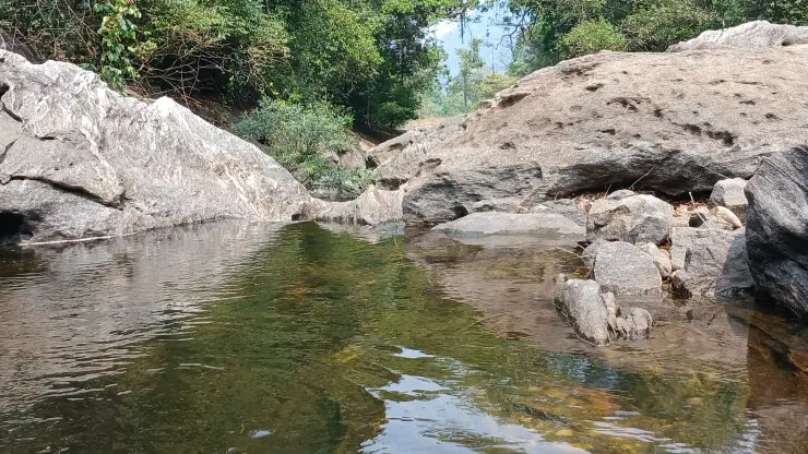
Water makes those differences in scale easier to follow. In a high rock hollow it may appear almost still, held among tiny plants and uneven surfaces. A little farther down, a narrow channel gathers the flow into a visible line. In the foothills it becomes part of a named river used to describe whole settlements and routes. The connection between these scales is what gives a headwater landscape its significance: the stream does not begin only where it becomes wide enough to photograph from a bridge.
An orchid growing on another plant is described as epiphytic; the host provides a place to grow. Aranyam specifically discusses this form of plant life in the Chembra–Vellarimala forests. It directs attention upwards as well as towards flowers at ground level. A trunk or branch can support a second layer of vegetation, while shaded rock and wet hollows offer other growing spaces. Looking without disturbing those supports is more useful than collecting a specimen to identify later.
The range’s creepers provide another way of reading the forest. A vine uses surrounding structures to reach through the vegetation, so its flowers or leaves may appear well away from the point where its stem begins. The botanical account’s examples include Indian birthwort, Hoya and Ichnocarpus frutescens. A visitor need not assign every leaf a scientific name to notice the difference between an upright tree, a climbing stem and a low rosette on rock.
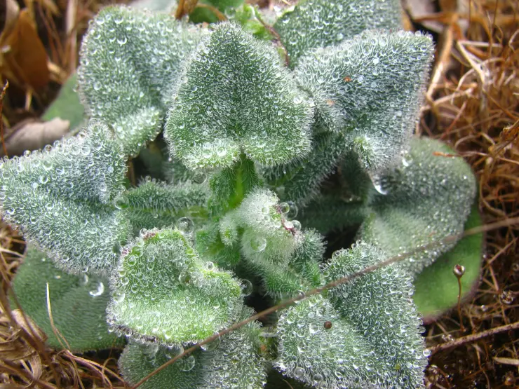
Cloud alters how much of this landscape can be seen at once. An open view of the upper cliffs may disappear while the near vegetation remains sharply visible. That is a reason to have interests at more than one scale, rather than making a distant summit panorama the only measure of the day. The photographs on this page move between the broad mountain form, a web in foliage and small plants beside water because each reveals a different part of the range.
For a visit confined to the foothills, the mountain remains the background to a settlement, not a substitute adventure activity. Keep the road journey, any lawful public stopping place and the return arrangement specific. There is no reason to pressure a resident to provide an unofficial path when forest permission is unavailable. An authorised Thusharagiri programme or a separately open Arippara visit can be chosen on its own merits; neither should be sold as having completed Vellarimala.
Vellarimala has also given its name to a plant described through modern botanical fieldwork. In a 2018 paper in Species, Jose Mathew and colleagues named Peperomia vellarimalica from material collected along the way towards REC Para. It is a low, branching herb with creeping stems, paired leaves and small spikes of flowers. Its significance is easy to miss in a panorama: a plant growing close to the ground can distinguish this mountain biologically just as clearly as a summit distinguishes it on a map.
The researchers describe a partly shaded, semi-evergreen forest habitat and explain how the plant differs from a superficially similar ornamental Peperomia. Leaf arrangement and the structure of the flowering spikes matter alongside the overall appearance. The paper's photographs and description offer a better introduction than expecting to recognise the species on a passing walk. A recorded collection locality is a scientific reference, not an invitation to search off-trail for a specimen or remove a plant from its habitat.
Another discovery connects the mountain directly to Muthappanpuzha. The original account of Henckelia pradeepiana in Rheedea identifies a specimen from this locality and traces the investigation to an unusual plant collected during a Vellarimala botanical survey. India Flora Online, maintained by the Indian Institute of Science, describes its habitat as shaded stream margins and dripping rocks. Its distinctive growth includes a disc-like tuber and a very small number of broad leaves. This is a reminder that the foothill's wet, shaded surfaces have their own botanical importance; ecological interest does not begin only above the tree line.
The Zoological Survey of India's Animal Discoveries 2023 records a damselfly, Protosticta sexcolorata, from Vellarimala on the Meppadi side. The species name refers to a difference in colour between males and females. The original study compared the insects closely with related species before describing them as new to science. That is a different kind of discovery from simply seeing an unfamiliar insect. For a visitor interested in natural history, patient observation of a stream-side insect is worthwhile even when its identity remains unresolved.
Together, these records give three concrete reasons to care about the small spaces within the range: shaded ground for a creeping herb, dripping rock for a specialised flowering plant, and forest-stream habitat for a damselfly. They also show why clearing a patch of vegetation for a photograph can remove much more than an untidy foreground. Keep any permitted walk on its agreed route and let the surrounding plants remain where they grow. The mountain's living interest is distributed through these small habitats, beyond the landmarks that dominate trekking photographs.