What to expect
Highlights
- Wildlife or forest landscape around Idukki Wildlife Sanctuary
- Official eco-tourism activities where available
- Nature guides, birding and forest-edge stays
Protected forest around the Idukki and Cheruthoni reservoirs near Painavu, with hilly evergreen woodland, elephants and boat-and-trek access arranged through the Forest Department.
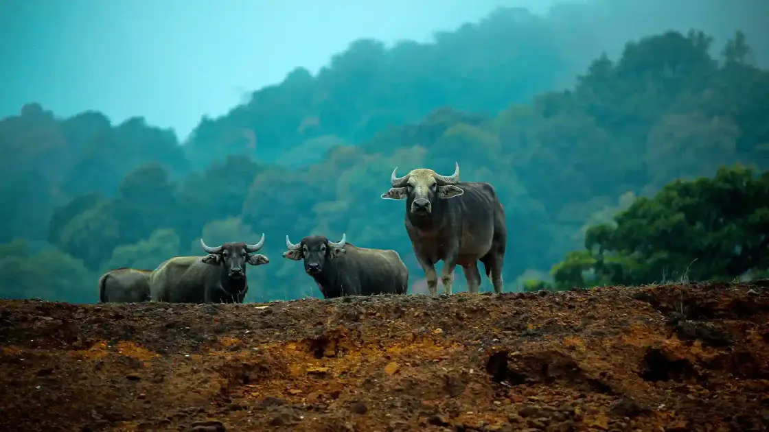
A drowned valley turned wildlife refuge — here elephants drink at the edge of a sprawling reservoir while your boat drifts silently between wooded, mist-wrapped inlets.
Idukki Wildlife Sanctuary wraps itself around the catchment of the Idukki reservoir, a vast sheet of blue-green water pooled behind Asia’s celebrated arch dam. Unlike the classic dry safari park, this sanctuary is defined by water — the reservoir’s many arms reach deep into the folded High Range hills, and the forest tumbles right down to the waterline. The result is a landscape of drowned valleys, wooded promontories and quiet coves that feels more like a flooded rainforest than a conventional jungle.
The signature experience here is boating. Gliding across the reservoir, you slip past submerged treelines and steep green shoulders of hill, scanning the banks for movement. Herds of elephants come down to the water to drink and bathe; gaur (the massive Indian bison) graze the clearings; sambar and barking deer melt in and out of the tree cover. Because so much of the sanctuary is only reachable by water, wildlife here is less harried and more at ease than in road-heavy parks — the silence between the dip of the oars is part of the magic.
The forest itself is a mosaic of tropical evergreen and moist deciduous woodland stitched together with rolling grassland. Teak, rosewood and Ceylon ironwood rise over a tangle of undergrowth, and the terrain climbs steeply — from about 450 metres at the water’s edge to the sanctuary’s high point at Vanjur Medu, over 1,270 metres up. This altitude spread is why the sanctuary packs in such variety, from lowland riverine species to cool, cloud-brushed ridge tops.
Birdlife is a genuine highlight. More than 160 species have been recorded, and a patient morning can turn up the great Indian hornbill sailing between canopy trees, the jewel-toned Malabar trogon, jungle fowl scratching in the leaf litter, and kingfishers stationed over the shallows. Butterflies are abundant too — surveys have logged well over a hundred species, among them Kerala’s state butterfly, the Malabar banded peacock. Bring binoculars; the reflected light off the reservoir makes for wonderful viewing conditions.
Rising on either side of the dam gorge are the two granite hills that give the whole area its identity — Kuravanmala and Kurathimala. These twin peaks, and the deep gorge the Periyar carved between them, are the reason the great dam sits where it does, and they loom over the northern edge of the sanctuary like guardians. Their silhouettes are woven into local legend and lend the wooded reservoir its distinctive, storybook backdrop.
Perhaps the best thing about Idukki Wildlife Sanctuary is how uncrowded it remains. Overshadowed by nearby Periyar and Eravikulam, it draws a fraction of the visitors, so a day spent here — a boat ride, a short guided forest walk, an hour of birdwatching — feels like having a slice of the High Range to yourself. Pair it with the arch dam, the viewpoint at Kalvari Mount and the district capital at Painavu, and it makes for one of Idukki’s most rewarding and least hurried outings.
The twin hills that frame the sanctuary — Kuravan and Kurathi — carry a much-loved local legend. As the story goes, a tribal man, Kuravan, and his wife, Kurathi, once caught sight of Sita bathing in the river and, for the transgression, were turned to stone by Lord Rama. The couple, who had never in their lives been apart, begged not to be separated. Moved by their devotion, Rama blessed them: they would stand forever together, as two hills on either side of the Periyar. Generations later, when the great arch dam rose across the gorge and joined the two hills for good, local people embraced it as the quiet fulfilment of that ancient promise — Kuravan and Kurathi bound together at last.
Idukki Wildlife Sanctuary was formally notified on 9 February 1976, carved out of the forest tracts surrounding the newly created Idukki reservoir. Its fortunes are tied directly to one of independent India’s landmark engineering projects — the Idukki hydroelectric scheme — which dammed the Periyar river deep in the High Range and flooded a valley to create the reservoir at the sanctuary’s heart.
The reservoir is held back by a cluster of dams, chief among them the Idukki arch dam, wedged into the narrow gorge between the Kuravanmala and Kurathimala hills, together with the Cheruthoni and Kulamavu dams. When these were commissioned in the mid-1970s, the rising waters transformed the geography of the area, and the encircling forest was set aside for protection — giving the sanctuary its unusual water-dominated character.
The sanctuary spans the taluks of Thodupuzha and Udumbanchola in Idukki district. Figures vary by source: the protected area is commonly cited at around 70 sq km of forest land wrapped around the reservoir, while the fuller notified extent — forest plus the roughly 33 sq km water body — is put at about 105 sq km. Elevations run from about 450 metres at the waterline to over 1,270 metres at Vanjur Medu, the highest point.
Ecologically the sanctuary protects a blend of tropical evergreen and moist deciduous forest with patches of grassland, home to elephants, gaur, sambar, barking deer, wild boar, dhole, jungle cats, Nilgiri langur and Indian giant squirrel, alongside more than 160 bird species and a rich butterfly fauna. It forms part of the wider Western Ghats landscape, one of the world’s recognised biodiversity hotspots.
The sanctuary is managed by the Kerala Forest Department (Wildlife Wing), which oversees protection, boating access and visitor movement from its offices in the Painavu–Cheruthoni area, the administrative heart of Idukki district that sits within the forest itself.
Boat across a vast reservoir with forest tumbling down to the waterline — a rare water-based way to see wildlife.
Good odds of spotting elephants and gaur drinking at the banks, plus sambar and deer in the clearings.
Serious birdwatching — 160-plus species including the great Indian hornbill and Malabar trogon.
Far quieter than Periyar or Eravikulam, so it feels uncrowded and unhurried.
A storybook backdrop of twin granite hills, Kuravan and Kurathi, steeped in local legend.
Easily combined with the Idukki arch dam, Kalvari Mount viewpoint and Painavu town.
Road km to Idukki; ghat roads and traffic vary — allow extra.
Dryer months are easier for wildlife access; monsoon access depends on local rules.
Live forecast loads in your browser.
Sun and moon are calculated for this location and shown in IST. Photography windows are the hour around sunrise and sunset; the sunset bearing is degrees clockwise from true north. Moon phase is accurate to about half a day.
These are official or public-sector eco offerings that match this place, town or forest destination. Confirm availability, permits, tariffs and reporting times with the official operator before travel.

Forest and reservoir wildlife sanctuary around the Idukki-Cheruthoni dam landscape.
Official source →
Idukki reservoir viewpoint and pilgrimage hill, connected with Kerala Forest Ecotourism listings.
Official source →Browse listed stays, food, activities, sights, shops and rentals around Idukki Wildlife Sanctuary. Check each listing’s locality and contact the business directly for current arrangements.
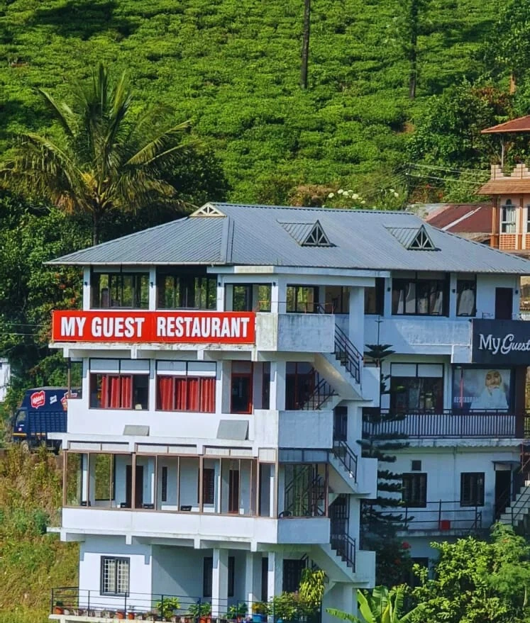
Kuttikkanam restaurant in Idukki and Cheruthoni. My Guest Restaurant, NH-183, Theni By-Pass, Pambanar, Peerumade, Idukki, Kerala 685531 · Restaurant menu pricing · Kuttikkanam, Pambanar, Restaurant.
Kuttikkanam restaurant in Idukki and Cheruthoni. Agincourt, Kuttikkanam, Peerumedu, Idukki, Kerala 685531 · Kuttikkanam, Restaurant, Peerumedu.
Hotel restaurant in Idukki and Cheruthoni. Igloo Heritage Resorts, Cheruthoni, Idukki district, Kerala · Hotel restaurant.
Book with the place itself. India’s cyber-crime coordination centre warned in April 2025 that convincing copies of hotel and pilgrimage booking sites are being pushed through sponsored search and social ads, taking payment for rooms the property never hears about. Use the contact and source details on each profile to confirm the exact business and booking channel. A directory entry or map pin alone does not establish an operator’s identity or current availability. Roampedia takes no commission and does not collect booking payments. If a booking page reached you through an ad, check the address bar against the property’s own site before you pay. Fraud can be reported on cybercrime.gov.in or on 1930.
Find food, accommodation and activities across Idukki and Cheruthoni. Browse the guides for places to eat, stay and explore along your route.
20 more places around Idukki and Cheruthoni. Open a guide to plan the visit and onward journey.
A Peerumedu ridge walk through plantation and high-range scenery, with access dependent on the chosen trail, land permission and current weather.
9.0 km · straight line
The long pedestrian suspension bridge above the Idukki reservoir at Ayyappancoil, valued for water and hill views as well as the crossing itself.
A secluded waterfall below Kuttikkanam whose approach has depended on estate tracks and regulated jeep routes; current legal access must be established first.
56.7 km · 80 min drive
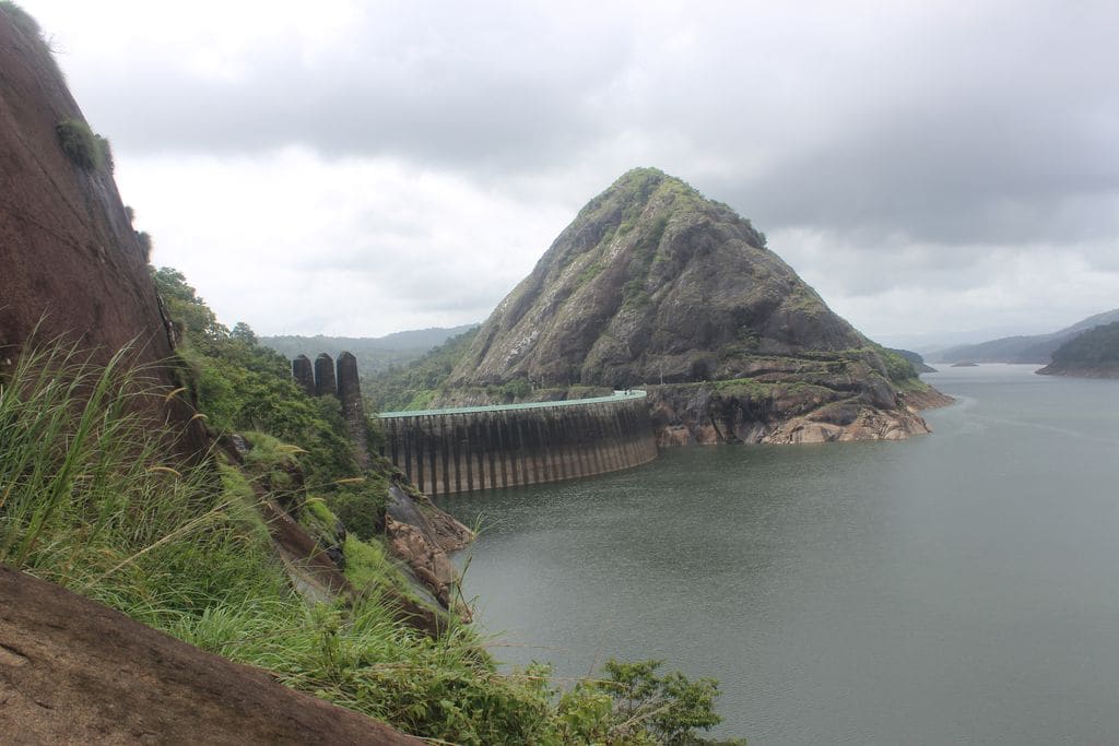
Major hydroelectric dam and one of Kerala’s landmark engineering sites.
60.7 km · 84 min drive
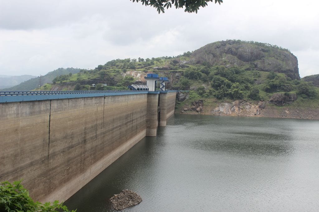
The 138-metre concrete gravity dam a kilometre west of the Idukki arch dam, carrying the five radial gates that are the only spillway for the whole Idukki reservoir — the gates opened in a south-west monsoon for the first time on 9 August 2018.
60.8 km · 84 min drive
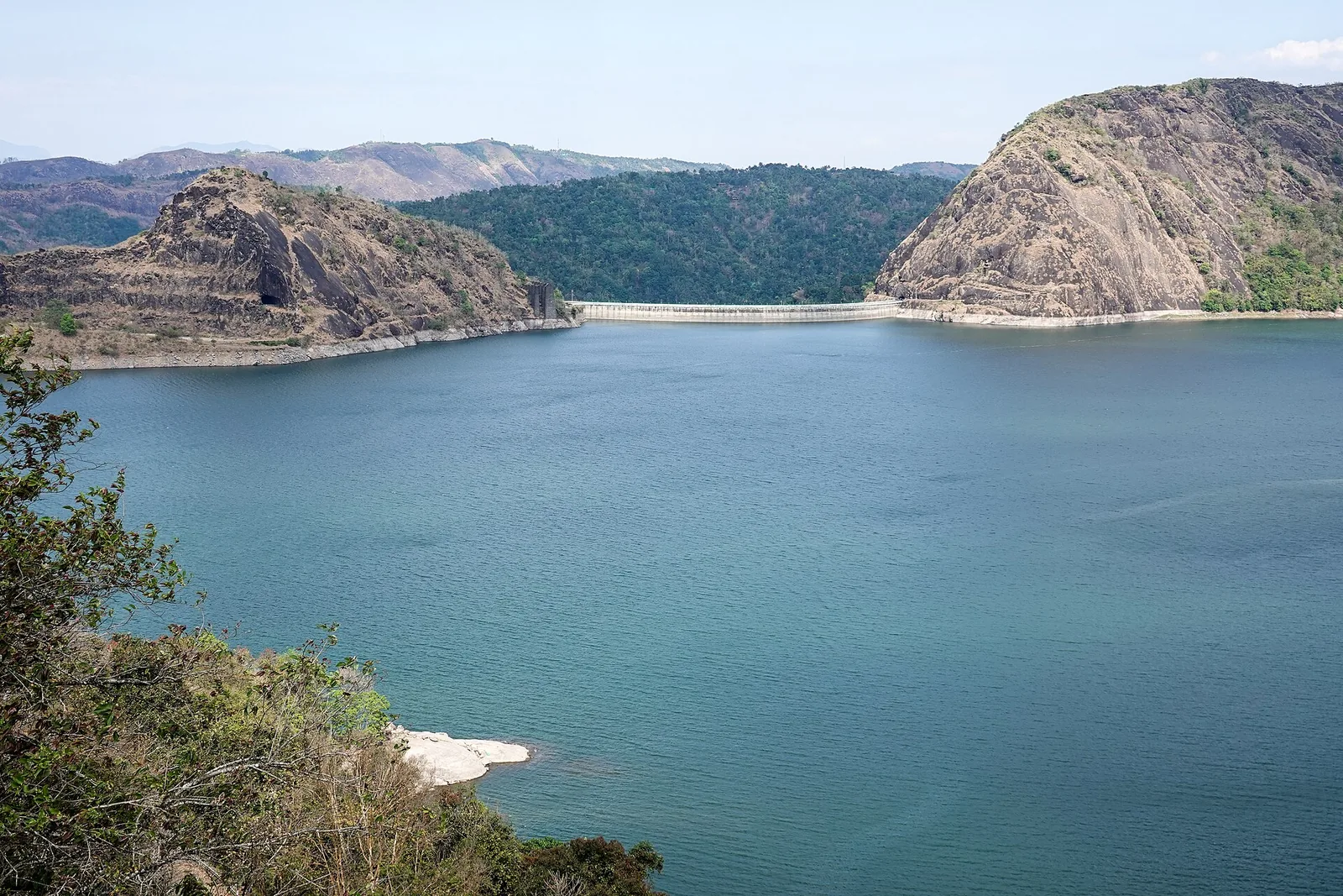
The DTPC’s eight-acre garden and viewing park on the Vellappara shoulder above the Idukki reservoir, about 350 ft above the water. It is the dependable way to see the Idukki arch dam — strung between Kuravanmala and Kurathimala, roughly 1.6 km east-north-east — because the dam crest itself is shut most of the year and this is open every day from 08:00 to 19:00.
45.7 km · 74 min drive
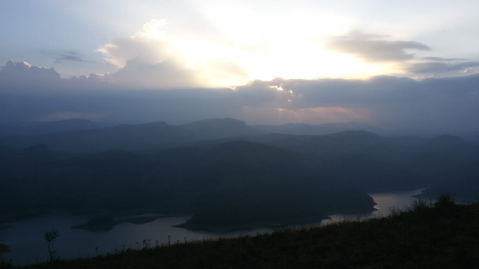
Reservoir-view hill point near Idukki and Cheruthoni, useful for scenic drives, photos and central high-range itineraries.
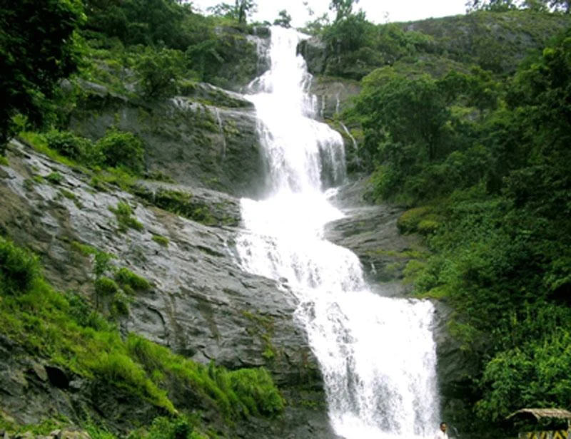
Waterfall on the Kochi-Munnar road, commonly paired with Valara as a high-range arrival stop.
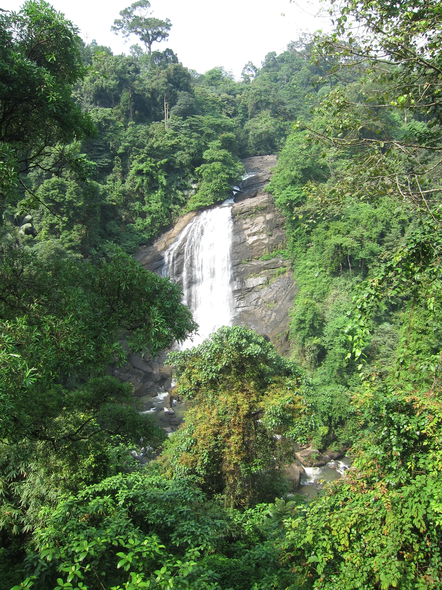
Valara is the forest-framed Deviyar cascade beside NH85 between Neriamangalam and Adimali in Idukki. It is a separate roadside stop from Cheeyappara, with viewing from the road and no assumed access to the waterfall base.

Peermade, also written Peerumedu or Peermede, is a plantation settlement and highland landscape on the Kottayam–Kumily road in Idukki. The map uses the town centre as a visitor base, not a single hilltop attraction.

Meadow and hill-viewpoint landscape near the Peermade/Kuttikkanam side of Idukki.

Peermade-side hill-station and adventure-tourism area, useful for tea estates, pine roads and central high-range routing.
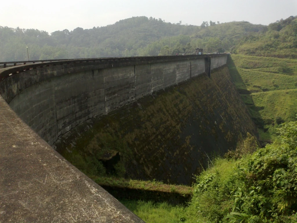
38.5 km · 74 min drive
Kulamavu is KSEB’s gravity dam on Kilivallithodu and one of three dams forming the Idukki reservoir. Visit through the hydel-tourism arrangements; reservoir views do not authorise entry to restricted infrastructure.
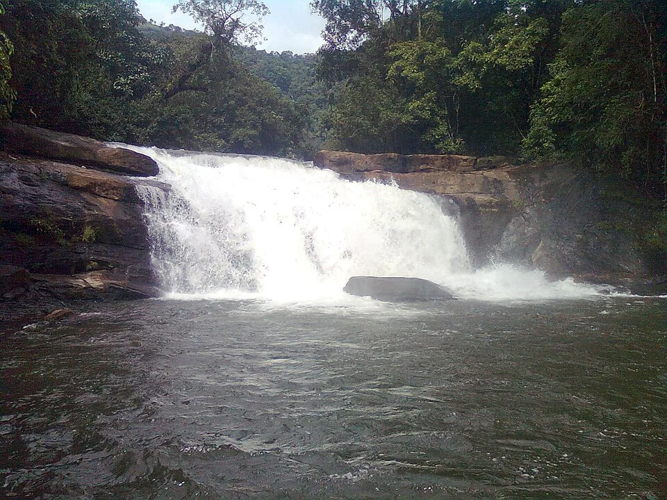
Seven-step cascade and eco-tourism trekking spot on the Kaliyar river near Thodupuzha, with rock pools, forest paths and a Forest Department eco-tourism trail.
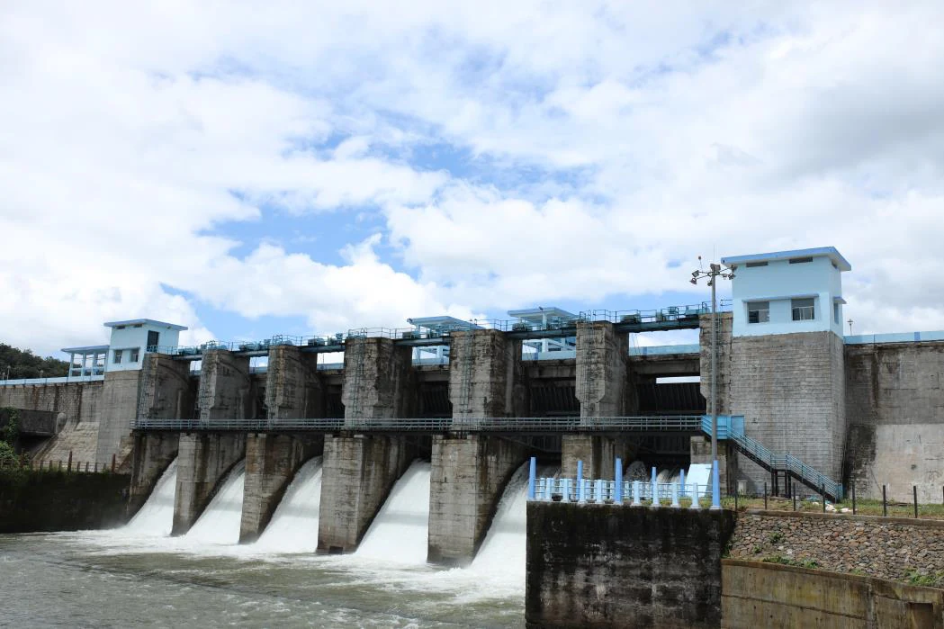
An Irrigation Department dam and reservoir at Muttom near Thodupuzha, storing Thodupuzha River runoff and Idukki power-station tailwater for the Muvattupuzha Valley Irrigation Project; the visitor park has its own permitted areas.
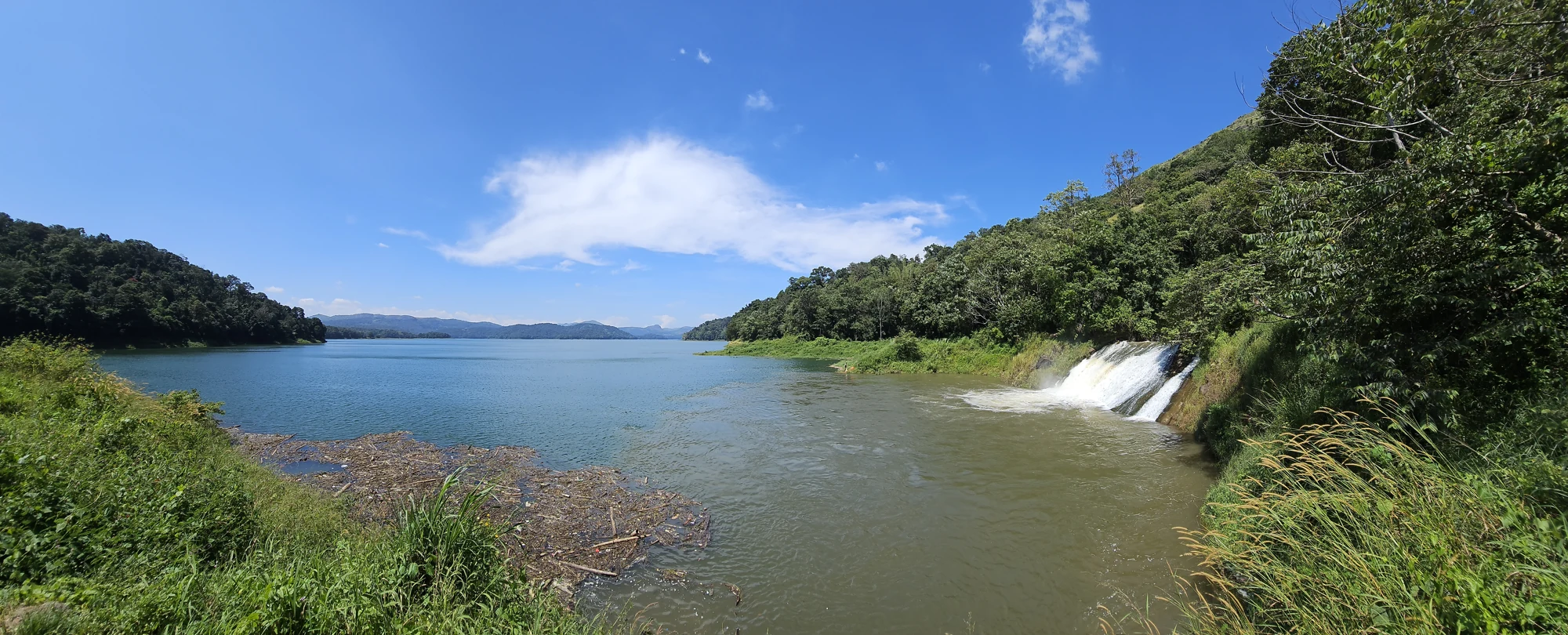
33.9 km · 68 min drive
The Anchuruli reservoir-side landscape near Kattappana, where the Erattayar diversion tunnel discharges towards Idukki reservoir. Plan an exterior viewpoint visit; the water tunnel is working infrastructure.
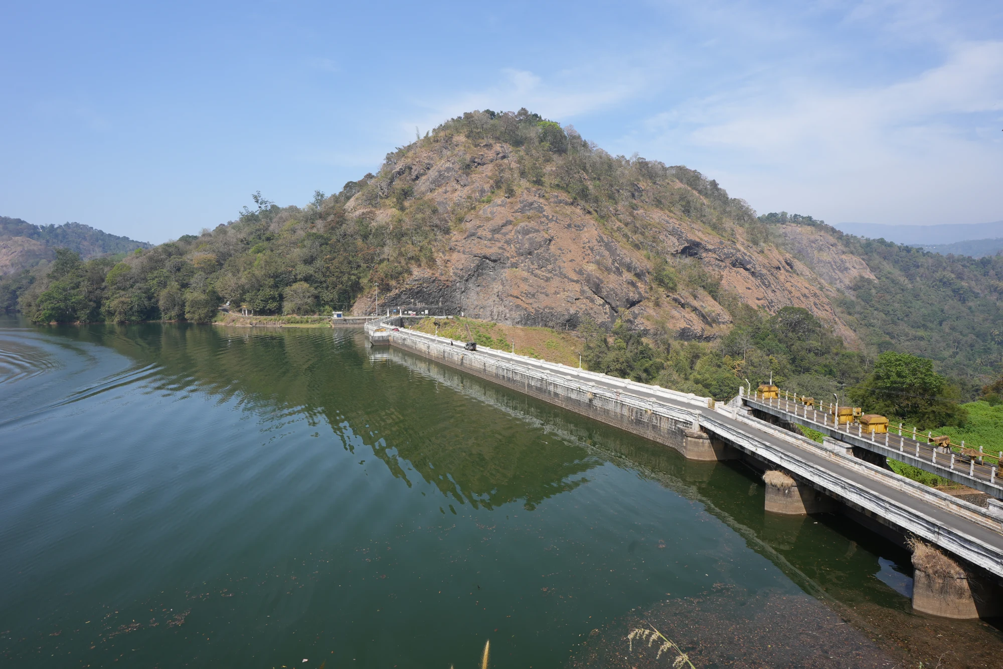
KSEB’s Panniyar-project dam at Konnathadi near Rajakkadu and Vellathooval in Idukki; a reservoir-and-engineering visit, distinct from Ponmudi hill station in Thiruvananthapuram.
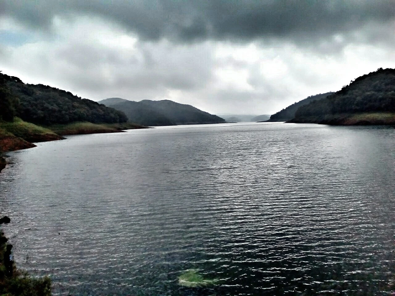
62.6 km · 83 min drive
The hill headquarters town of Idukki district near the arch dam, a quiet high-range base for Idukki–Cheruthoni dam-side sightseeing and the surrounding reservoir viewpoints.
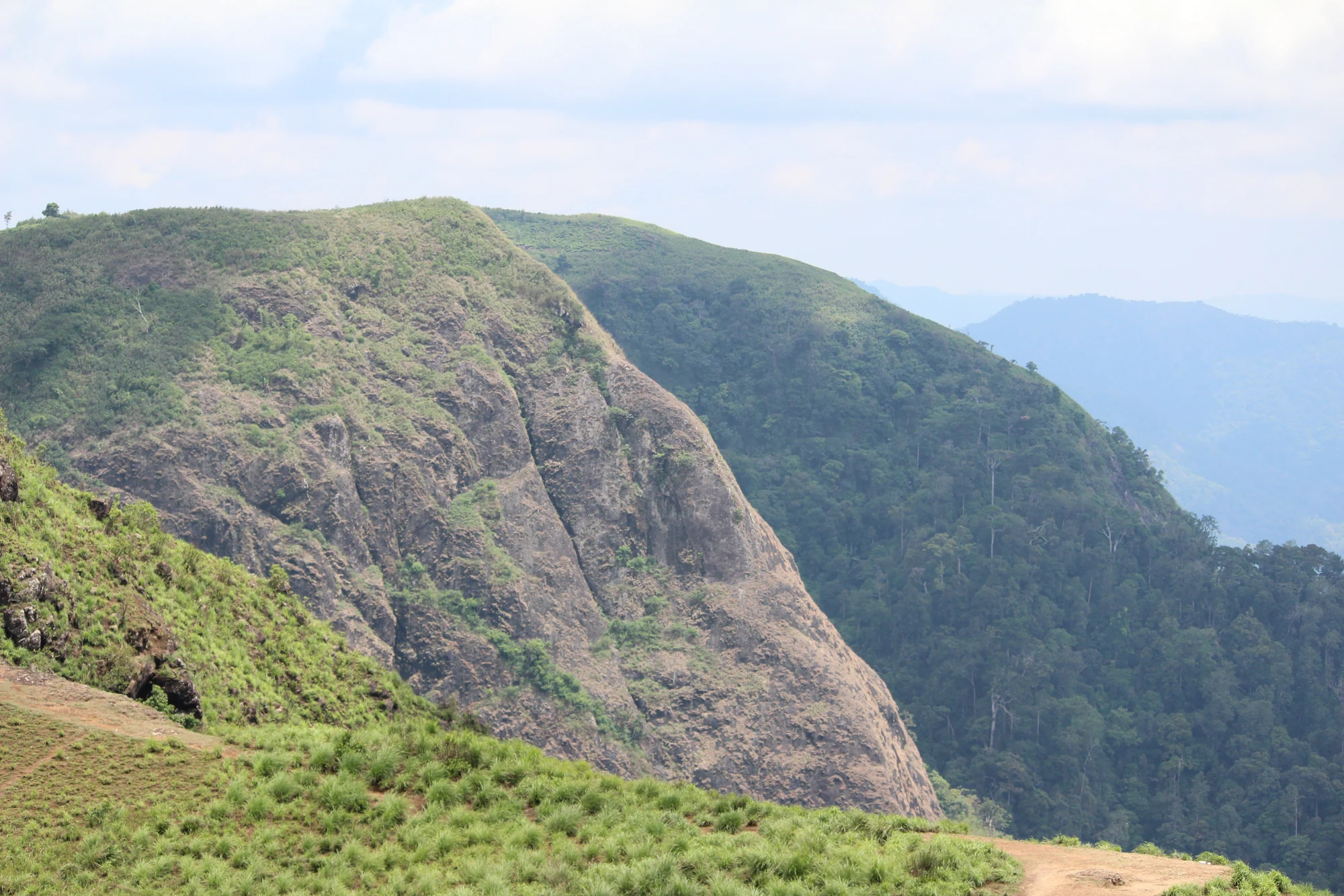
A rock-and-grass viewpoint near Peermade on the Pambanar side of Idukki, overlooking steep wooded ravines; known as Eagle Rock and for the profile-like Tagore Rock formation.
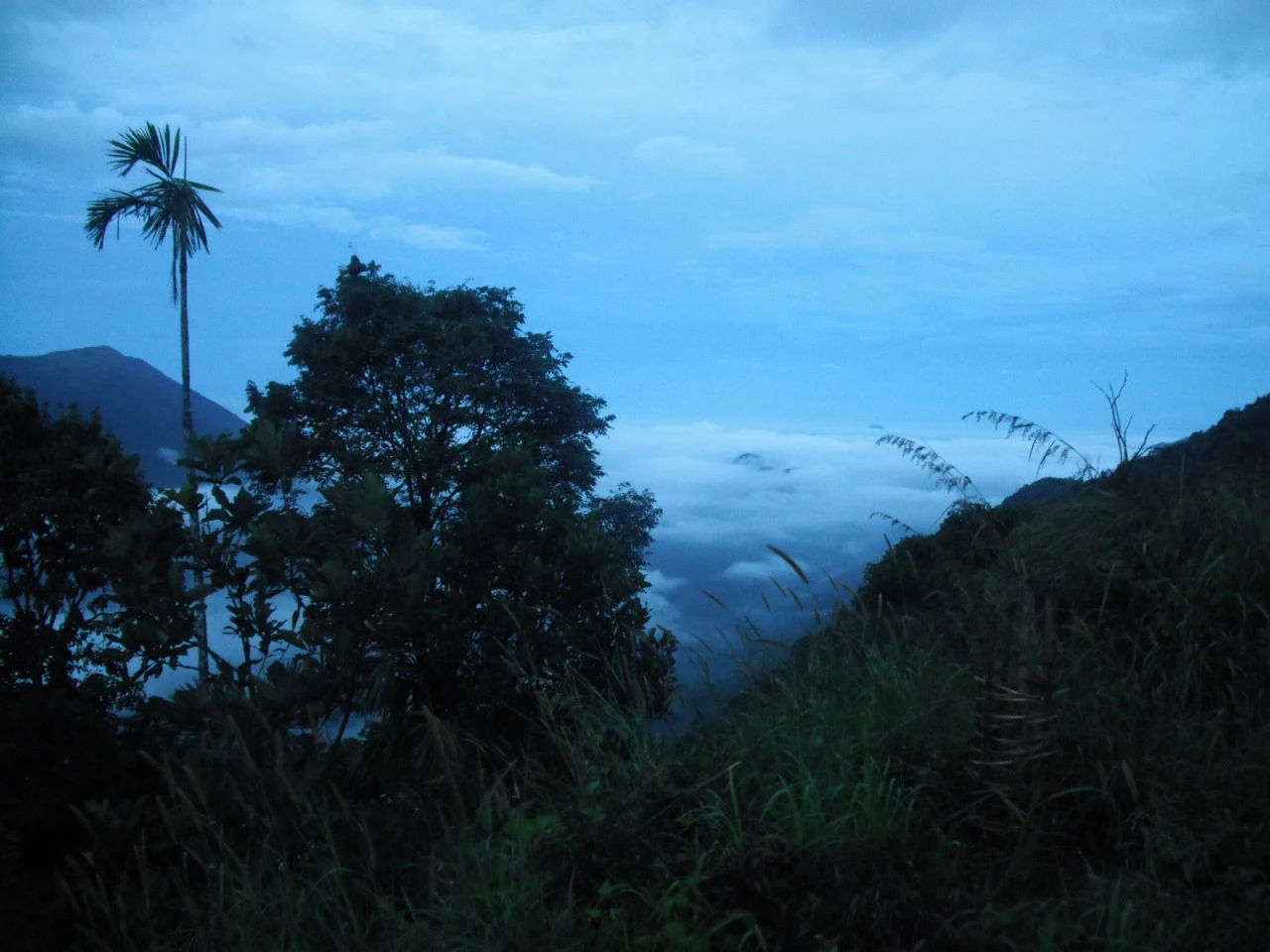
35.3 km · 72 min drive
Ghat viewpoint on the Thodupuzha–Puliyanmala road overlooking the Idukki high range, a popular stop for valley views and cool breezes.
Roampedia is commission-free — own or know a stay, eatery, guide or shop near Idukki Wildlife Sanctuary? Submit public business details for review.
Add a nearby businessEntry: A modest entry ticket plus separate charges for boating (per boat or per head) and for a compulsory guide on forest walks; expect roughly a few hundred rupees all in for a small group.
Dress code: Wear muted, natural colours (greens, browns, khaki) for forest walks and avoid bright clothing and strong perfume; sturdy shoes and a hat are useful.
Photography: Still photography is generally permitted; a separate camera fee may apply for higher-end or video equipment, and drones are usually not allowed near the dam or reservoir.
If you are travelling by bus or ferry, check the return service with the operator before setting out. Leave time to reach the stop or jetty after your visit.
Ask at the bus stand for the time of the last service back, not the next one. If you miss it, an auto or app cab is the fallback — agree the fare before you get in.
If you need step-free access, contact the site before travelling. Ask about a level entrance, steps along the route, the nearest drop-off point, seating and accessible toilets.
Published emergency and visitor-assistance contacts. For an immediate emergency, call 112. Shared Kerala contact sources checked 4 October 2026; publication does not establish a tested live response.
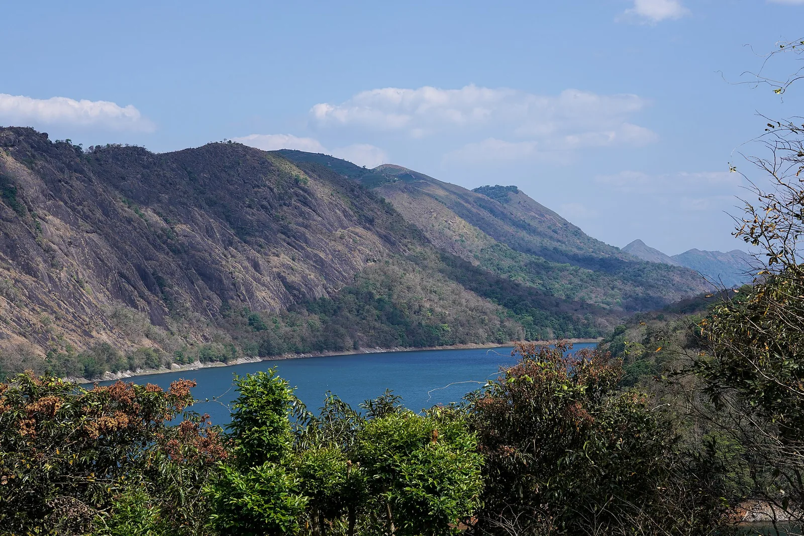
The Forest Department’s guided walk on the grass tops at the southern end of the Idukki Wildlife Sanctuary, about ten kilometres by road from Vagamon — some seven kilometres on foot up jeep track and open ridge, with the Idukki reservoir catchment below you. The state will not sell it to fewer than six people, and it will not take more than seven.
7.5 km · straight lineThe long pedestrian suspension bridge above the Idukki reservoir at Ayyappancoil, valued for water and hill views as well as the crossing itself.
9.0 km · straight line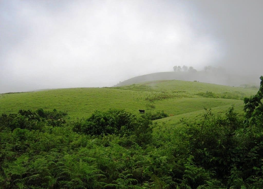
Rolling meadows, pine patches and viewpoints on the Idukki/Kottayam highland edge.
13.9 km · straight line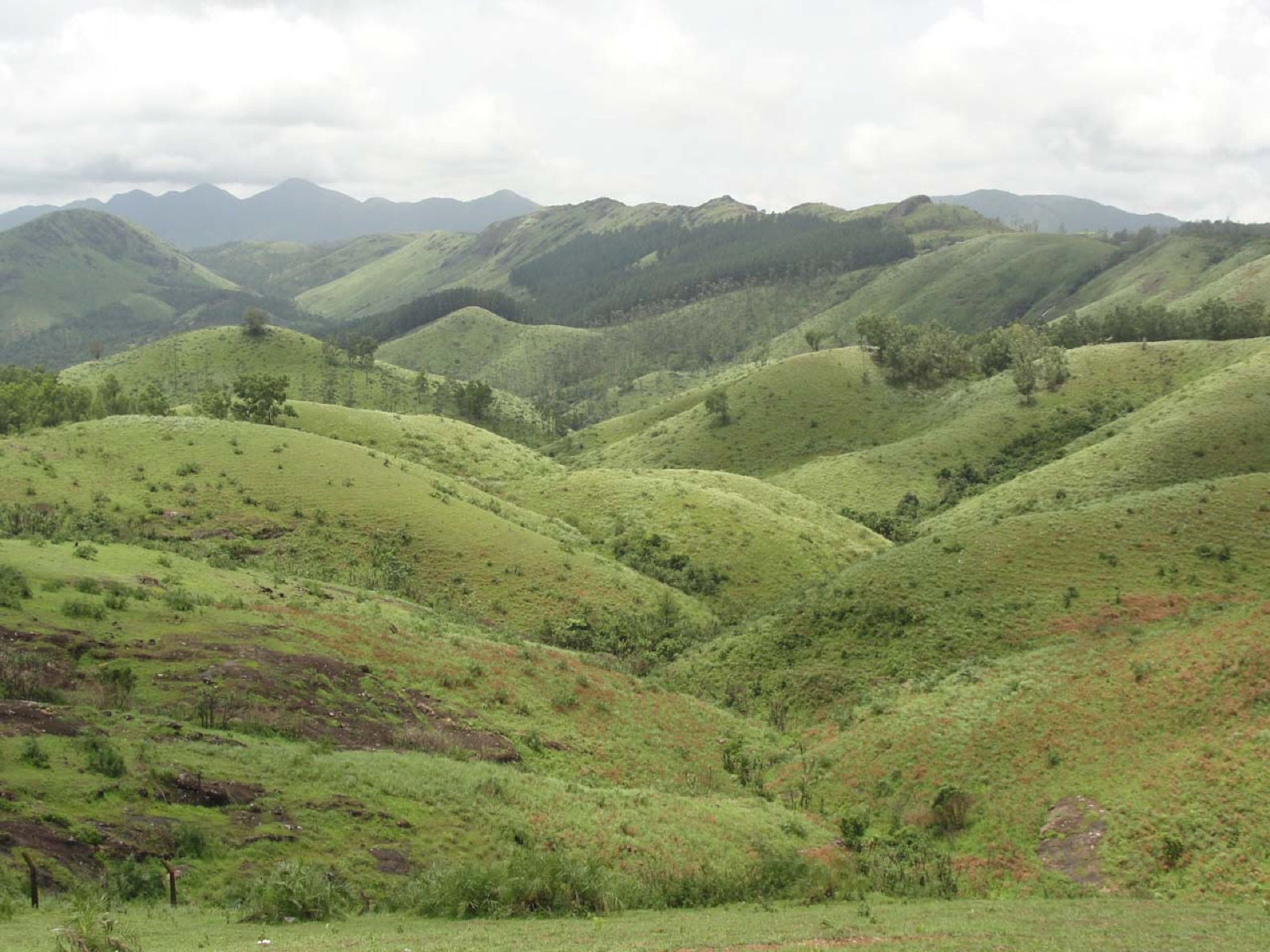
Open meadow landscape forming the classic Vagamon sightseeing circuit.
14.4 km · straight lineThe Anchuruli reservoir-side landscape near Kattappana, where the Erattayar diversion tunnel discharges towards Idukki reservoir. Plan an exterior viewpoint visit; the water tunnel is working infrastructure.
33.9 km · 68 min driveGhat viewpoint on the Thodupuzha–Puliyanmala road overlooking the Idukki high range, a popular stop for valley views and cool breezes.
35.3 km · 72 min driveKulamavu is KSEB’s gravity dam on Kilivallithodu and one of three dams forming the Idukki reservoir. Visit through the hydel-tourism arrangements; reservoir views do not authorise entry to restricted infrastructure.
38.5 km · 74 min driveReservoir-view hill point near Idukki and Cheruthoni, useful for scenic drives, photos and central high-range itineraries.
45.7 km · 74 min driveMajor hydroelectric dam and one of Kerala’s landmark engineering sites.
56.7 km · 80 min driveThe 138-metre concrete gravity dam a kilometre west of the Idukki arch dam, carrying the five radial gates that are the only spillway for the whole Idukki reservoir — the gates opened in a south-west monsoon for the first time on 9 August 2018.
60.7 km · 84 min driveThe DTPC’s eight-acre garden and viewing park on the Vellappara shoulder above the Idukki reservoir, about 350 ft above the water. It is the dependable way to see the Idukki arch dam — strung between Kuravanmala and Kurathimala, roughly 1.6 km east-north-east — because the dam crest itself is shut most of the year and this is open every day from 08:00 to 19:00.
60.8 km · 84 min driveThe hill headquarters town of Idukki district near the arch dam, a quiet high-range base for Idukki–Cheruthoni dam-side sightseeing and the surrounding reservoir viewpoints.
62.6 km · 83 min driveRoad and walking figures are route estimates, with travel times dependent on access, traffic and conditions. Figures marked “straight line” show direct separation and do not describe a road or walking route. Fare estimates use Kerala’s 26 April 2022 auto/taxi notification and exclude waiting, night and applicable one-way surcharges. Confirm the current meter or operator quote before travelling. Routing: © openrouteservice.org by HeiGIT | Map data © OpenStreetMap contributors
It was notified as a wildlife sanctuary on 9 February 1976, on the forest tracts surrounding the Idukki reservoir.
No. The famous Idukki arch dam is a separate hydroelectric structure; the sanctuary is the protected forest wrapped around the reservoir that the dam created. They sit side by side and are usually visited together.
Boating on the reservoir is the highlight — it is the best way to see wildlife along the wooded banks. Short guided forest walks and birdwatching round out a visit.
Elephants, gaur (Indian bison), sambar, barking deer, wild boar and, with luck, dhole and jungle cats, plus a rich birdlife including hornbills and jungle fowl. Sightings are never guaranteed in the wild (confirm locally).
Around 70 sq km of forest surrounds the reservoir; including the water body, the notified area is about 105 sq km, spread across Thodupuzha and Udumbanchola taluks.
Boating depends on reservoir water levels, weather and Forest Department or KSEB scheduling, and can be suspended during heavy rain or security restrictions. Always confirm availability locally before travelling.
Dryer months are easier for wildlife access; monsoon access depends on local rules.
Entry: A modest entry ticket plus separate charges for boating (per boat or per head) and for a compulsory guide on forest walks; expect roughly a few hundred rupees all in for a small group. Timings: Daytime visiting only, typically from around 9 am to 5 pm; boating operates in scheduled slots during daylight hours and requires forest permits/tickets.
Base yourself in Idukki and Cheruthoni or a nearby town in Idukki, then confirm the last-mile route locally before leaving. Book official entry, safari, boat or eco-tourism slots first, then plan transport and stay. If the visit depends on forest, temple, boat, ferry, weather or seasonal access, check the official/local rule on the day before travel.
Half day to full day.
Nearby you can pair Vagavanam Windy Walk trek (7.5 km, approximate straight-line separation), Ayyappancoil Hanging Bridge (9.0 km, approximate straight-line separation), Vagamon (13.9 km, approximate straight-line separation), Vagamon meadows (14.4 km, approximate straight-line separation).
Do not feed or approach wildlife. Use official routes and approved operators only.
We have not published a story about Idukki Wildlife Sanctuary itself yet. These cover Idukki and Cheruthoni and the wider district, with separate journeys between stops.
These guides explore Idukki and Cheruthoni and the surrounding area. Choose a visit that fits your interests, allowing separately for travel between stops.


Route-level itineraries and practical guides for the rest of Kerala.
Photographs: Department of Tourism, Government of Kerala (© Kerala Tourism), Jaseem Hamza (CC BY 3.0), Alanjs (CC BY-SA 4.0). Wikimedia Commons.