What to expect
Highlights
- Viewpoint stop at Kalvari Mount
- Photography and landscape views
- Good add-on to nearby town or hill routes
Reservoir-view hill point near Idukki and Cheruthoni, useful for scenic drives, photos and central high-range itineraries.
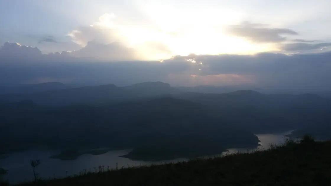
A cross-crowned hilltop where the vast blue sprawl of the Idukki reservoir curls between the Western Ghats — one of the High Range’s most soul-stirring sunset perches.
Kalvari Mount — also spelled Calvary Mount and known locally as Kalliyanathandu — is a breezy hillock rising out of the folded green ridges near Painavu and Cheruthoni in Idukki district. It is one of those places that rewards the last stretch of a winding ghat drive with a view that seems to open all at once: the land simply falls away, and the enormous silver-blue Idukki reservoir spreads out below in wide, wandering curves, its inlets pushing deep into the hills like fingers of water reaching into the forest.
The panorama is the whole reason to come. From the summit railings the reservoir is said to be visible in a long sweep — from the Idukki side out towards Ayyappancovil — while on the other flank you look down over the small High Range villages of Kamakshi and Mariyapuram tucked among tea and cardamom slopes. On clear days the hill layers stack into the distance and slowly fade to mist, and the historic Idukki Arch Dam and the Kuravan–Kurathi hills that cradle it can be picked out across the valley.
It is an unmistakably Christian place. A tall cross stands on the crown of the hill, and a series of small crosses marks the Stations of the Cross climbing the slope, so that the ascent itself echoes the biblical Way of the Cross for which the mount is named. Even outside pilgrimage season the crosses, the quiet, and the huge sky give the spot a contemplative, almost hushed feeling that sets it apart from the busier dam-side viewpoints nearby.
The mount sits at a modest height (sources variously describe it as a low hillock and cite differing elevation figures — treat any single number with caution), but its position on the lip of the reservoir basin is everything. Because the water lies below and the horizon is open to the west, both sunrise and sunset burn spectacularly here, the golden light skidding across the reservoir’s surface. Lucky visitors have reported spotting herds of elephants moving or bathing in the shallows far below — a reminder that this is still wild High Range country.
Getting to the top is part of the appeal. You can drive up much of the way, but many visitors prefer to walk the final ascent on foot, following the crosses uphill through the cool air. Facilities are simple — viewing platforms, railings and a parking area — so this is a place for slow looking rather than commerce, best paired with the neighbouring Idukki Arch Dam, Cheruthoni and Kulamavu circuit that together make up the classic Idukki reservoir day out.
Because it is quieter and less commercialised than the marquee dam viewpoints, Kalvari Mount has become a favourite with photographers, road-trippers and pilgrims alike — a genuine High Range secret that pairs a big, cinematic landscape with a gentle spiritual atmosphere, all within a short drive of the Idukki dam township.
The hill is named for Calvary (Golgotha), the site of the Crucifixion of Jesus, and by tradition it functions as a Christian pilgrimage centre. During the season of Lent — and especially around Good Friday — devotees gather to walk the Way of the Cross, making a prayerful, processional ascent of the hillock past the crosses set along the slope, re-enacting Christ’s final journey. The devotion mirrors the wider heritage of the High Range’s settler-farming Christian community, who cleared and cultivated these hills through the twentieth century.
Kalvari Mount owes its modern fame to water. For much of its life it was a secluded, little-visited hillock in the Idukki high ranges; it rose to prominence only after the construction of the Idukki hydroelectric project transformed the valley below into an immense reservoir, giving the hilltop its now-celebrated panorama.
That reservoir is the work of the Idukki Arch Dam, one of independent India’s landmark engineering feats — a 168-metre-class double-curvature arch dam wedged between the Kuravan and Kurathi hills across the Periyar river. Built with Canadian assistance and commissioned in the mid-1970s, it was among the first arch dams of its kind in Asia and remains a centrepiece of Kerala’s power generation. The rising waters behind it flooded the deep river valley and created the sprawling lake that Kalvari Mount now overlooks.
The Christian character of the site reflects the settlement history of the High Range itself. Through the mid-twentieth century, waves of migrant farmers — many of them Syrian Christians from central Travancore — moved up into Idukki’s forests to cultivate cardamom, pepper, rubber and other hill crops, carrying their faith and church-building traditions with them. A cross planted on a commanding hilltop, and a Way of the Cross laid out on its slope, fits naturally into that devotional landscape.
As Idukki opened up to tourism on the back of the dam and reservoir, viewpoints around the basin — Kalvari Mount among them — were gradually developed with simple platforms, railings and parking so travellers could take in the view safely. Today the mount is promoted by Kerala Tourism and the district tourism body (DTPC Idukki) as one of the reservoir’s scenic and pilgrimage highlights.
It remains an evolving, low-key destination rather than a heavily built-up attraction, valued precisely for its combination of a big man-made lake, untamed Ghat scenery and quiet religious heritage. Because it lies within the wider Idukki dam-and-reservoir zone, exact access and any photography or approach restrictions can shift with local rules — always worth checking on the ground.
Sweeping panoramic views over the vast Idukki reservoir and its island-dotted inlets.
One of the High Range’s finest sunrise and sunset perches, with golden light spilling across the water.
A quieter, less commercialised alternative to the crowded dam-side viewpoints.
A distinctive cross-topped pilgrimage hill with a Way of the Cross walk to the summit.
Easy to combine with the Idukki Arch Dam, Cheruthoni and Kulamavu on a single reservoir day trip.
A real chance of spotting elephants and other wildlife in the waters and forest far below.
Road km to Idukki; ghat roads and traffic vary — allow extra.
Clear post-monsoon and winter days are best; mist can block views in hill areas.
Live forecast loads in your browser.
Check the official alert before you travel. Kerala’s beaches, waterfalls and trekking routes close at short notice during heavy rain, and district alert levels change day to day. We do not publish an alert level of our own — read it from the state authority: Kerala State Disaster Management Authority, or the district control room on 1077.
Sun and moon are calculated for this location and shown in IST. Photography windows are the hour around sunrise and sunset; the sunset bearing is degrees clockwise from true north. Moon phase is accurate to about half a day.
These are official or public-sector eco offerings that match this place, town or forest destination. Confirm availability, permits, tariffs and reporting times with the official operator before travel.

Forest and reservoir wildlife sanctuary around the Idukki-Cheruthoni dam landscape.
Official source →
Idukki reservoir viewpoint and pilgrimage hill, connected with Kerala Forest Ecotourism listings.
Official source →Verified hotels, homestays, restaurants, experiences, sights, shops and rentals around Kalvari Mount — commission-free, with direct contact. Filter by what you need.
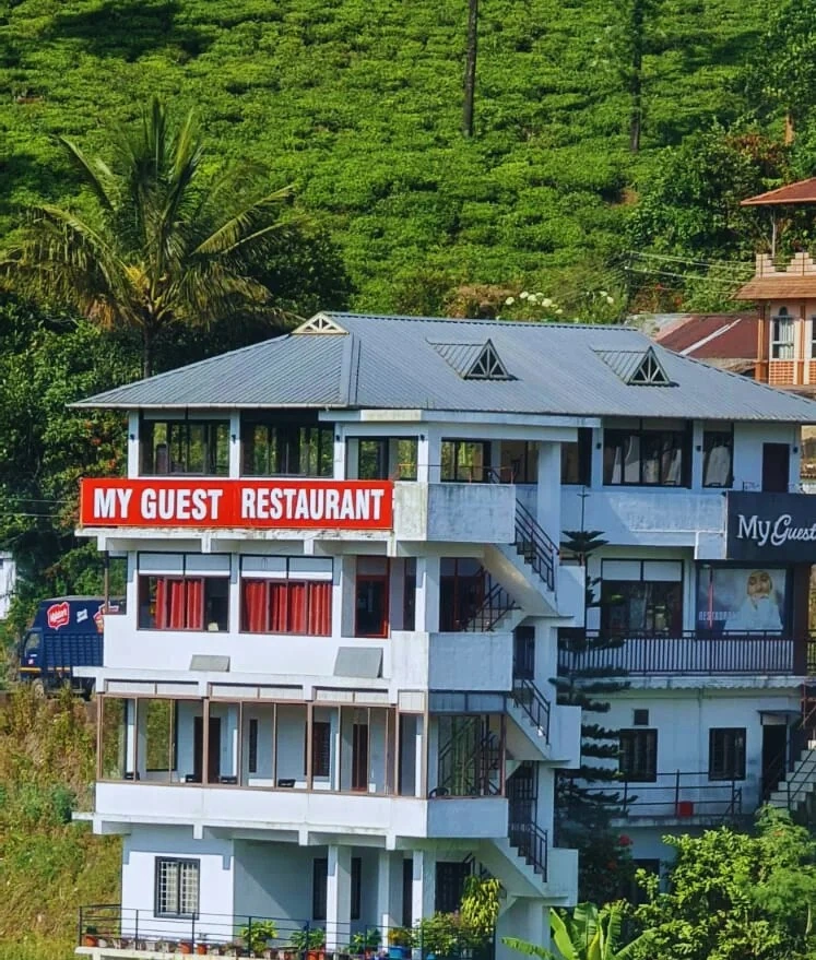
Kuttikkanam restaurant in Idukki and Cheruthoni. My Guest Restaurant, NH-183, Theni By-Pass, Pambanar, Peerumade, Idukki, Kerala 685531 · Restaurant menu pricing · Kuttikkanam, Pambanar, Restaurant.
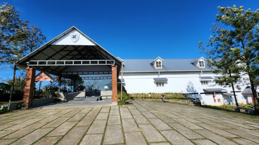
Kuttikkanam restaurant in Idukki and Cheruthoni. Agincourt, Kuttikkanam, Peerumedu, Idukki, Kerala 685531 · Kuttikkanam, Restaurant, Peerumedu.
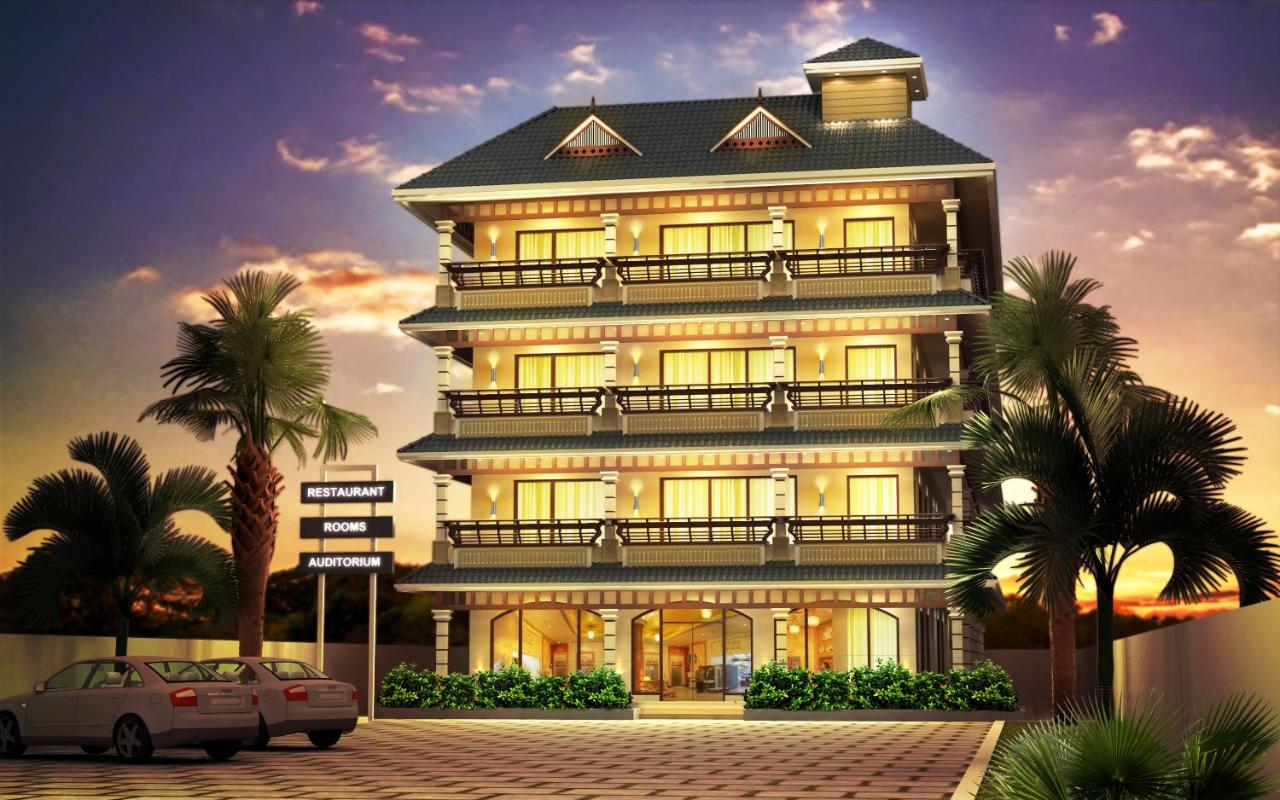
Hotel restaurant in Idukki and Cheruthoni. Igloo Heritage Resorts, Cheruthoni, Idukki district, Kerala · idukki-and-cheruthoni, eat, Hotel restaurant.
Book with the place itself. India’s cyber-crime coordination centre warned in April 2025 that convincing copies of hotel and pilgrimage booking sites are being pushed through sponsored search and social ads, taking payment for rooms the property never hears about. Every listing here links to the business’s own contact details and its own Google or Bing profile — we take no commission and sit in nobody’s payment path. If a booking page reached you through an ad, check the address bar against the property’s own site before you pay. Fraud can be reported on cybercrime.gov.in or on 1930.
Find food, accommodation and activities across Idukki and Cheruthoni. Browse the guides for places to eat, stay and explore along your route.
20 more places around Idukki and Cheruthoni. Open a guide to plan the visit and onward journey.
A Peerumedu ridge walk through plantation and high-range scenery, with access dependent on the chosen trail, land permission and current weather.
10.0 km · ~17 min by cab
The long pedestrian suspension bridge above the Idukki reservoir at Ayyappancoil, valued for water and hill views as well as the crossing itself.
A secluded waterfall below Kuttikkanam whose approach has depended on estate tracks and regulated jeep routes; current legal access must be established first.
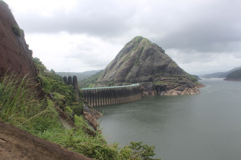
13.6 km · 19 min drive
Major hydroelectric dam and one of Kerala’s landmark engineering sites.
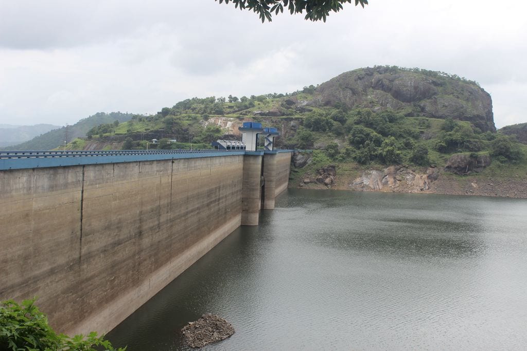
17.5 km · 23 min drive
The 138-metre concrete gravity dam a kilometre west of the Idukki arch dam, carrying the five radial gates that are the only spillway for the whole Idukki reservoir — the gates opened in a south-west monsoon for the first time on 9 August 2018.
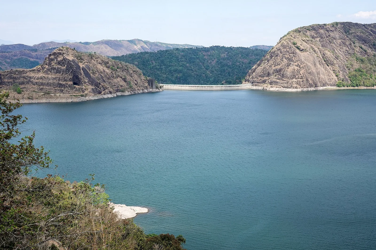
17.6 km · 23 min drive
The DTPC’s eight-acre garden and viewing park on the Vellappara shoulder above the Idukki reservoir, about 350 ft above the water. It is the dependable way to see the Idukki arch dam — strung between Kuravanmala and Kurathimala, roughly 1.6 km east-north-east — because the dam crest itself is shut most of the year and this is open every day from 08:00 to 19:00.
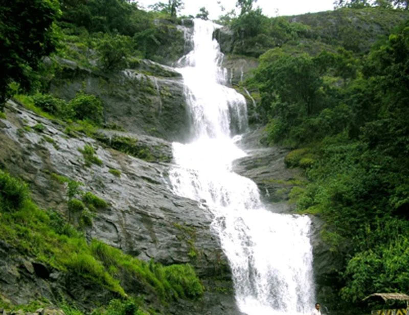
Waterfall on the Kochi-Munnar road, commonly paired with Valara as a high-range arrival stop.
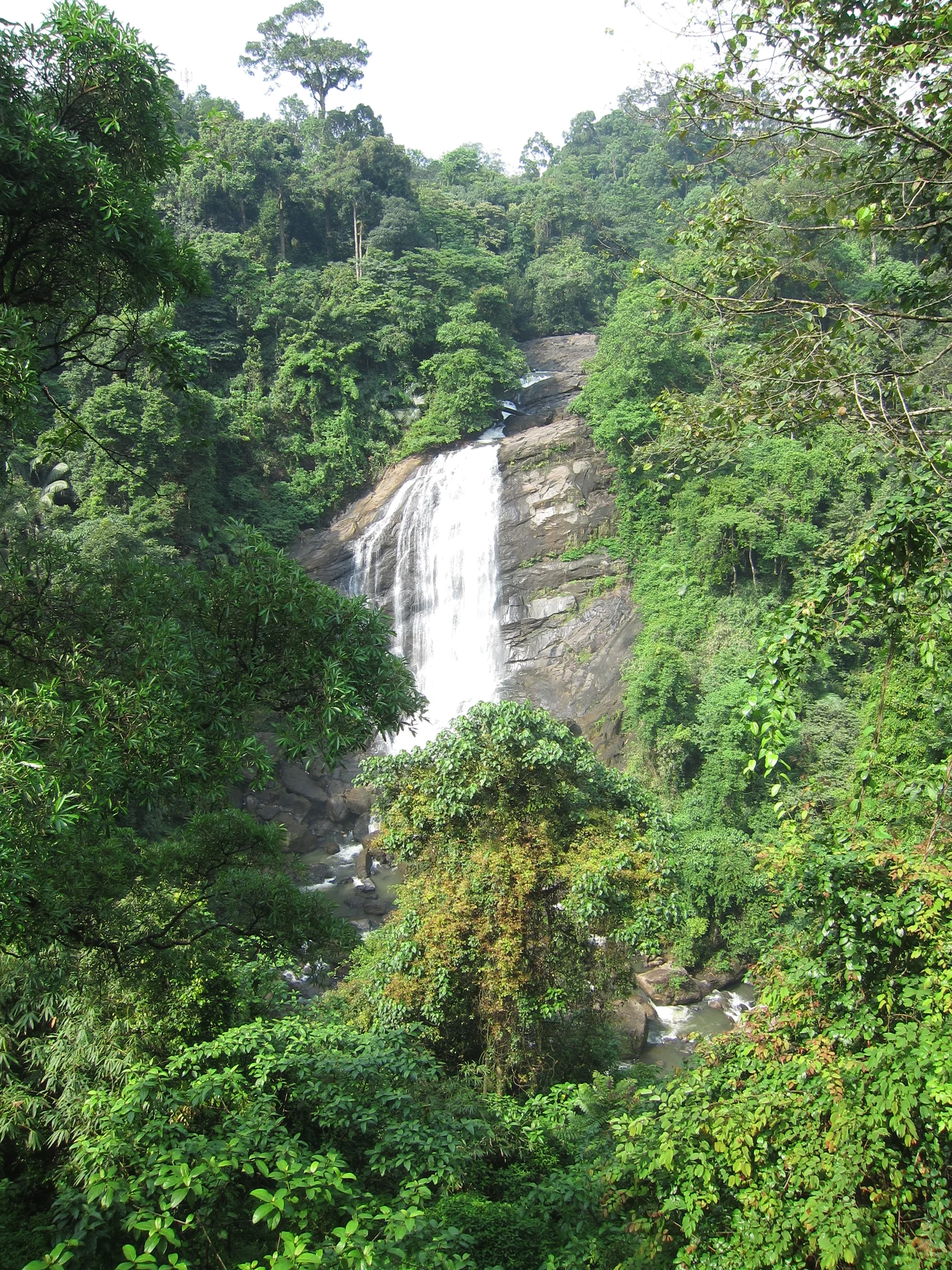
Valara is the forest-framed Deviyar cascade beside NH85 between Neriamangalam and Adimali in Idukki. It is a separate roadside stop from Cheeyappara, with viewing from the road and no assumed access to the waterfall base.

Peermade, also written Peerumedu or Peermede, is a plantation settlement and highland landscape on the Kottayam–Kumily road in Idukki. The map uses the town centre as a visitor base, not a single hilltop attraction.

Meadow and hill-viewpoint landscape near the Peermade/Kuttikkanam side of Idukki.

Peermade-side hill-station and adventure-tourism area, useful for tea estates, pine roads and central high-range routing.
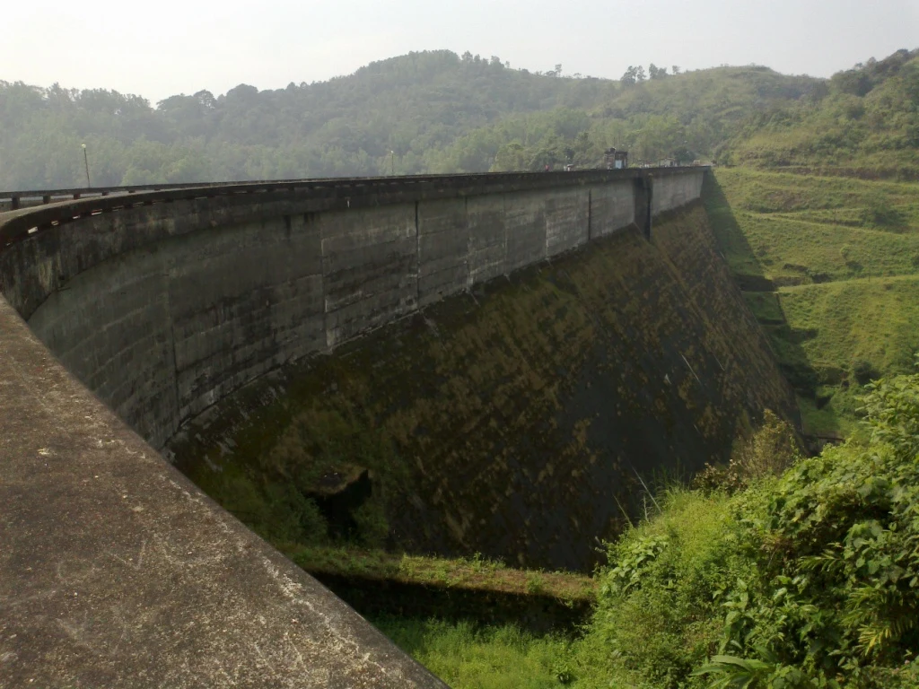
37.0 km · 39 min drive
Kulamavu is KSEB’s gravity dam on Kilivallithodu and one of three dams forming the Idukki reservoir. Visit through the hydel-tourism arrangements; reservoir views do not authorise entry to restricted infrastructure.
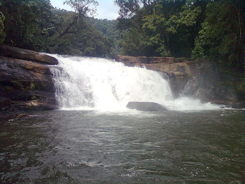
Seven-step cascade and eco-tourism trekking spot on the Kaliyar river near Thodupuzha, with rock pools, forest paths and a Forest Department eco-tourism trail.
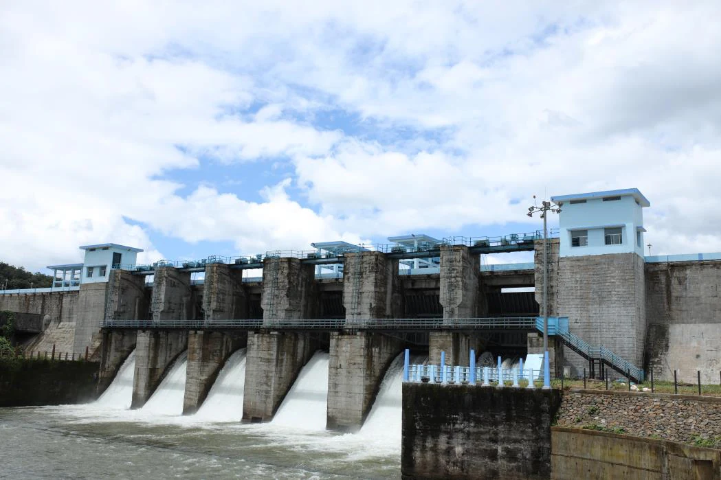
An Irrigation Department dam and reservoir at Muttom near Thodupuzha, storing Thodupuzha River runoff and Idukki power-station tailwater for the Muvattupuzha Valley Irrigation Project; the visitor park has its own permitted areas.
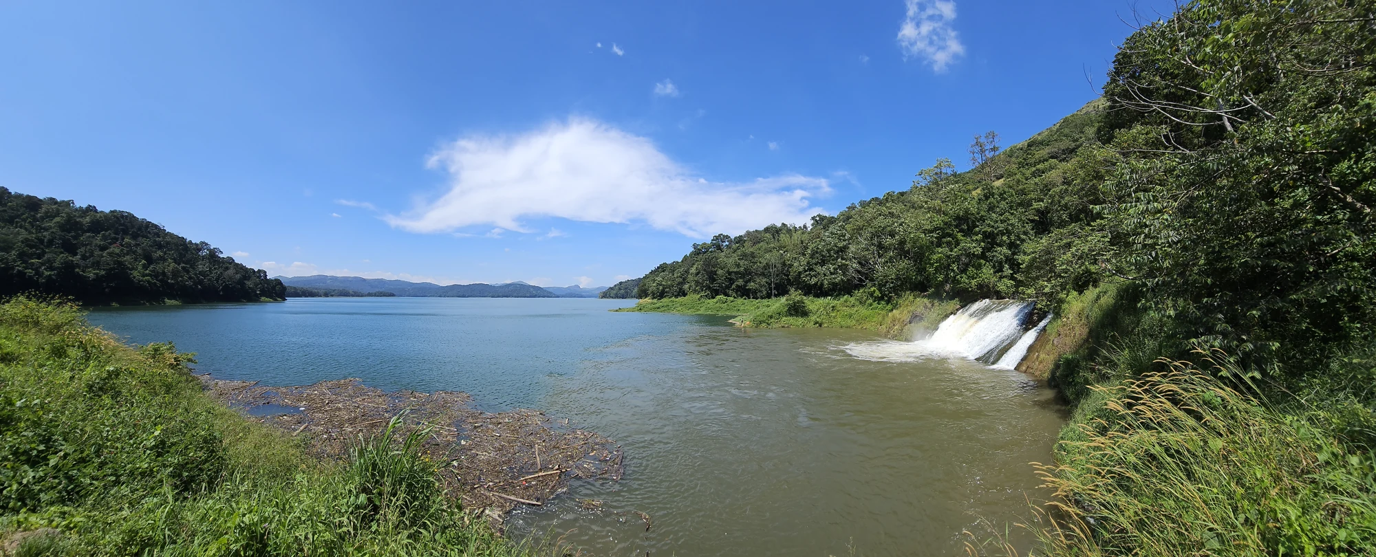
17.4 km · 30 min drive
The Anchuruli reservoir-side landscape near Kattappana, where the Erattayar diversion tunnel discharges towards Idukki reservoir. Plan an exterior viewpoint visit; the water tunnel is working infrastructure.

44.8 km · 74 min drive
Protected forest around the Idukki and Cheruthoni reservoirs near Painavu, with hilly evergreen woodland, elephants and boat-and-trek access arranged through the Forest Department.
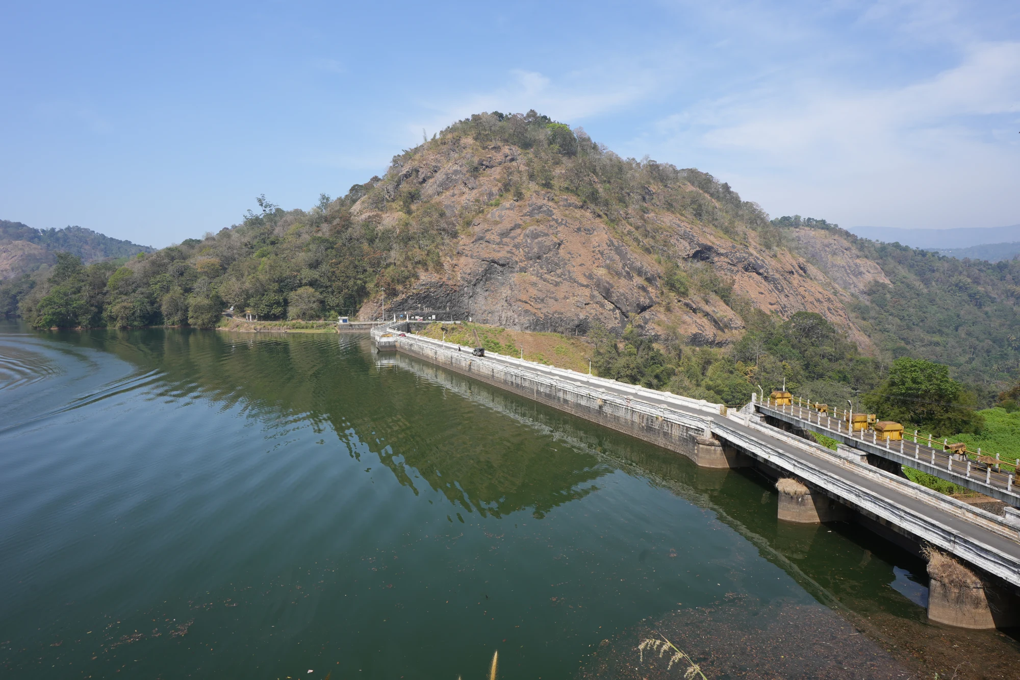
38.1 km · 50 min drive
KSEB’s Panniyar-project dam at Konnathadi near Rajakkadu and Vellathooval in Idukki; a reservoir-and-engineering visit, distinct from Ponmudi hill station in Thiruvananthapuram.
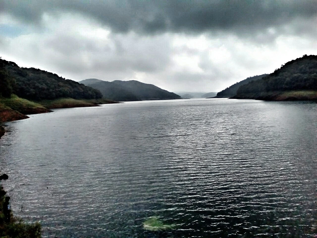
19.4 km · 23 min drive
The hill headquarters town of Idukki district near the arch dam, a quiet high-range base for Idukki–Cheruthoni dam-side sightseeing and the surrounding reservoir viewpoints.
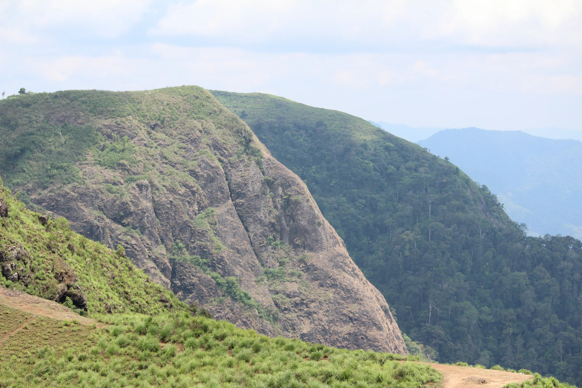
A rock-and-grass viewpoint near Peermade on the Pambanar side of Idukki, overlooking steep wooded ravines; known as Eagle Rock and for the profile-like Tagore Rock formation.
42.9 km · 45 min drive
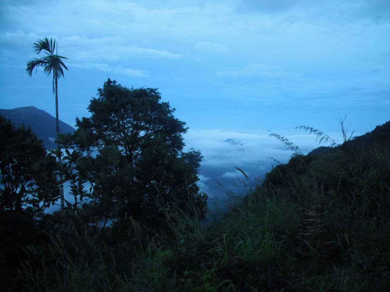
Ghat viewpoint on the Thodupuzha–Puliyanmala road overlooking the Idukki high range, a popular stop for valley views and cool breezes.
Roampedia is commission-free — own or know a stay, eatery, guide or shop near Kalvari Mount? List it and it appears here once verified.
Add a nearby businessEntry: A small entry ticket, reported in the ₹20–₹25 range, plus nominal parking (about ₹10 for two-wheelers and ₹25 for cars/mini-buses).
Dress code: No formal dress code, but as an active Christian pilgrimage site modest, respectful clothing is appreciated; wear sturdy shoes and a light layer for the breezy, cool hilltop.
Festivals: During Lent — especially around Good Friday — devotees gather for the Way of the Cross, a prayerful processional ascent of the hill (confirm exact dates and any crowd/access changes locally).
Photography: A superb spot for wide landscape and sunset photography over the reservoir; bring a wide lens and a zoom for distant hills, the arch dam and any wildlife below. Golden hour is magical. Note that photography and approach rules within the wider Idukki dam-security zone can vary — heed any local signage.
If you are travelling by bus or ferry, check the return service with the operator before setting out. Leave time to reach the stop or jetty after your visit.
Ask at the bus stand for the time of the last service back, not the next one. If you miss it, an auto or app cab is the fallback — agree the fare before you get in.
If you need step-free access, contact the site before travelling. Ask about a level entrance, steps along the route, the nearest drop-off point, seating and accessible toilets.
Emergency numbers are verified against official government and state tourism sources. 112 works anywhere in India.
The long pedestrian suspension bridge above the Idukki reservoir at Ayyappancoil, valued for water and hill views as well as the crossing itself.
10.0 km · ~17 min by cab · straight line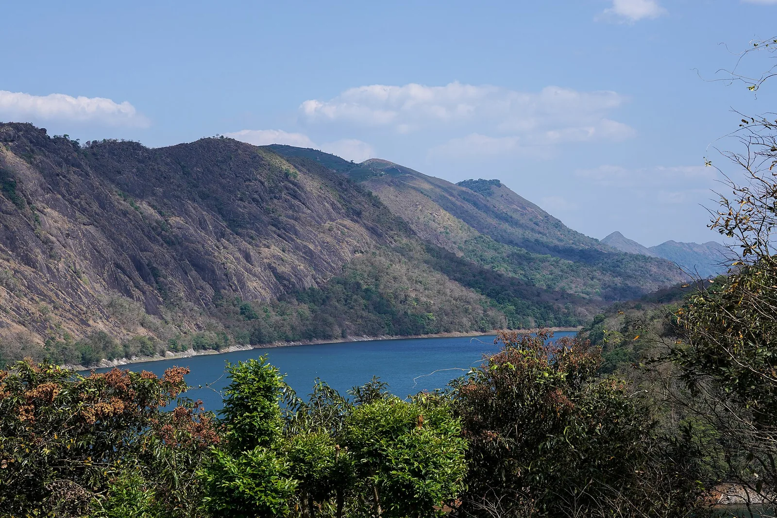
The Forest Department’s guided walk on the grass tops at the southern end of the Idukki Wildlife Sanctuary, about ten kilometres by road from Vagamon — some seven kilometres on foot up jeep track and open ridge, with the Idukki reservoir catchment below you. The state will not sell it to fewer than six people, and it will not take more than seven.
12.6 km · ~21 min by cab · straight lineMajor hydroelectric dam and one of Kerala’s landmark engineering sites.
13.6 km · 19 min driveThe Anchuruli reservoir-side landscape near Kattappana, where the Erattayar diversion tunnel discharges towards Idukki reservoir. Plan an exterior viewpoint visit; the water tunnel is working infrastructure.
17.4 km · 30 min driveThe 138-metre concrete gravity dam a kilometre west of the Idukki arch dam, carrying the five radial gates that are the only spillway for the whole Idukki reservoir — the gates opened in a south-west monsoon for the first time on 9 August 2018.
17.5 km · 23 min driveThe DTPC’s eight-acre garden and viewing park on the Vellappara shoulder above the Idukki reservoir, about 350 ft above the water. It is the dependable way to see the Idukki arch dam — strung between Kuravanmala and Kurathimala, roughly 1.6 km east-north-east — because the dam crest itself is shut most of the year and this is open every day from 08:00 to 19:00.
17.6 km · 23 min driveThe hill headquarters town of Idukki district near the arch dam, a quiet high-range base for Idukki–Cheruthoni dam-side sightseeing and the surrounding reservoir viewpoints.
19.4 km · 23 min drive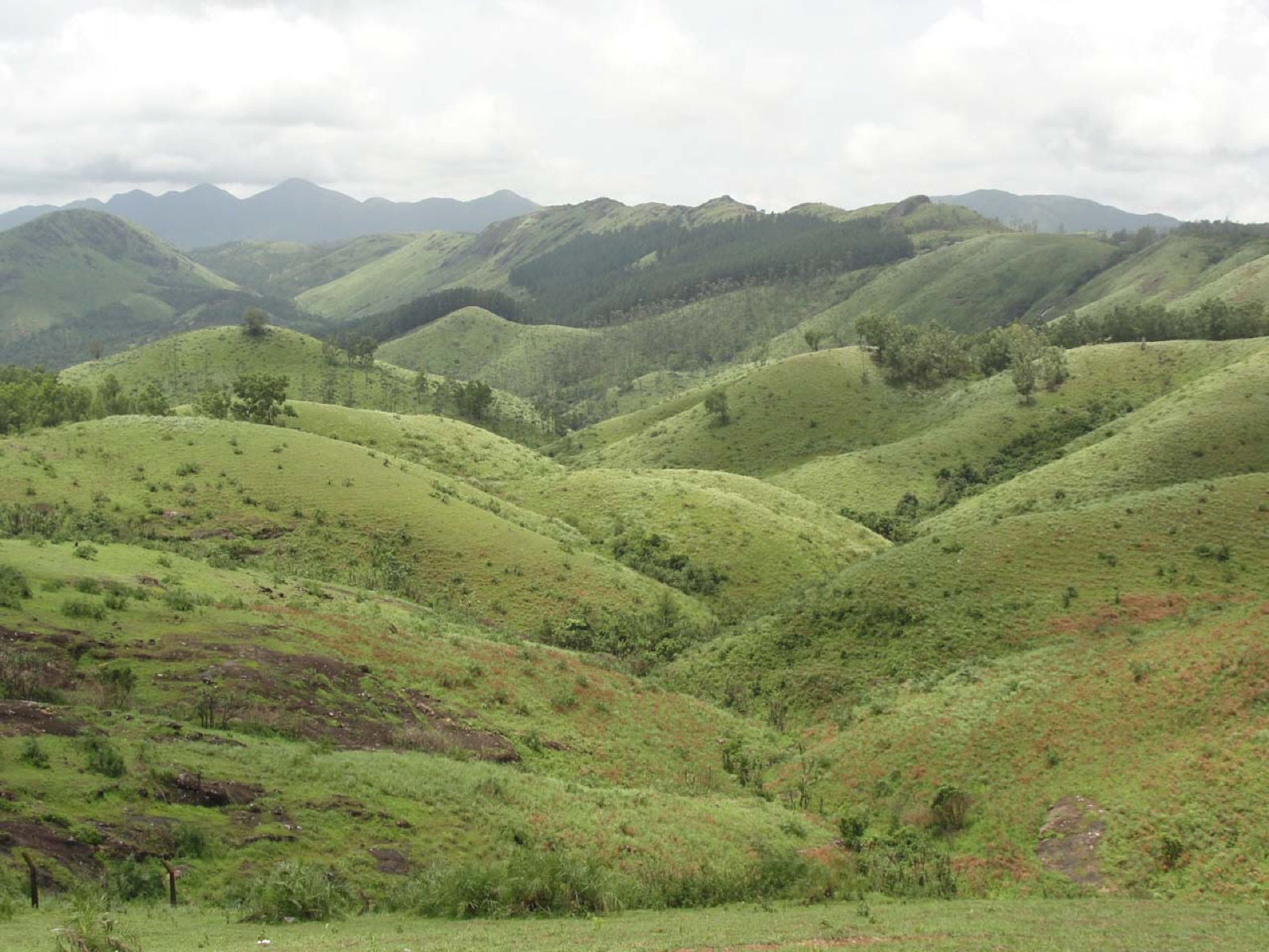
Open meadow landscape forming the classic Vagamon sightseeing circuit.
19.8 km · ~33 min by cab · straight lineKulamavu is KSEB’s gravity dam on Kilivallithodu and one of three dams forming the Idukki reservoir. Visit through the hydel-tourism arrangements; reservoir views do not authorise entry to restricted infrastructure.
37.0 km · 39 min driveKSEB’s Panniyar-project dam at Konnathadi near Rajakkadu and Vellathooval in Idukki; a reservoir-and-engineering visit, distinct from Ponmudi hill station in Thiruvananthapuram.
38.1 km · 50 min driveGhat viewpoint on the Thodupuzha–Puliyanmala road overlooking the Idukki high range, a popular stop for valley views and cool breezes.
42.9 km · 45 min driveProtected forest around the Idukki and Cheruthoni reservoirs near Painavu, with hilly evergreen woodland, elephants and boat-and-trek access arranged through the Forest Department.
44.8 km · 74 min driveWalking and driving times are real routed distances, except the few marked “straight line”, which are direct-line estimates and will read short. Fare figures are estimates from Kerala’s notified auto/taxi tariff and exclude waiting and night charges. Routing: © openrouteservice.org by HeiGIT | Map data © OpenStreetMap contributors
The hill is named after Calvary — the biblical Mount Golgotha where, in Christian tradition, Jesus was crucified. A cross crowns the summit and a Way of the Cross climbs the slope, so the hill doubles as a Christian pilgrimage centre. It is also known locally as Kalliyanathandu (and sometimes Kalyanathandu).
The headline sight is the huge Idukki reservoir curling through the Western Ghats below, along with distant views towards the Idukki Arch Dam and the Kuravan–Kurathi hills, and down over High Range villages such as Kamakshi and Mariyapuram. On clear days the ridgelines fade layer by layer into the mist.
A small entry ticket (reported in the ₹20–₹25 range) and a nominal parking charge (roughly ₹10 for two-wheelers and ₹25 for cars) usually apply. The viewpoint is generally open through daylight, with sources citing around 6:00 am to about 6:30 pm.
October to March, during the cool, clear post-monsoon and winter months, gives the sharpest reservoir views and the most reliable sunsets. The monsoon (roughly June to September) can be misty, wet and slippery, though it turns the hills a vivid green.
Kalvari Mount itself is a viewpoint overlooking the water rather than a boat jetty. Boating on the Idukki reservoir is offered at designated points in the wider dam zone, but availability changes with reservoir levels and security rules around the hydro-project — check locally before planning a boat ride.
It sits off the Idukki–Kattappana road a short drive from Idukki town / the dam township, reachable by car, taxi or local bus. You can drive up much of the way; the final ascent to the cross can be walked as a short, moderate uphill stretch, so basic fitness helps but no serious trekking is required.
Clear post-monsoon and winter days are best; mist can block views in hill areas.
Entry: A small entry ticket, reported in the ₹20–₹25 range, plus nominal parking (about ₹10 for two-wheelers and ₹25 for cars/mini-buses). Timings: Daylight visiting only; sources cite roughly 6:00 am to about 6:30 pm. Time your arrival for sunrise or, more popularly, sunset.
Base yourself in Idukki and Cheruthoni or a nearby town in Idukki, then confirm the last-mile route locally before leaving. Go early for clearer light and easier parking; sunset viewpoints can crowd quickly. If the visit depends on forest, temple, boat, ferry, weather or seasonal access, check the official/local rule on the day before travel.
45 minutes to 2 hours.
Nearby you can pair Ayyappancoil Hanging Bridge (10.0 km), Vagavanam Windy Walk trek (12.6 km), Idukki Arch Dam (13.6 km), Anchuruli (17.4 km).
Stay behind barriers and away from cliff edges. Avoid viewpoints during lightning or heavy rain.
We have not published a story about Kalvari Mount itself yet. These cover Idukki and Cheruthoni and the wider district, with separate journeys between stops.
These guides explore Idukki and Cheruthoni and the surrounding area. Choose a visit that fits your interests, allowing separately for travel between stops.


Route-level itineraries and practical guides for the rest of Kerala.
Photographs: Alanjs (CC BY-SA 4.0), This Photo was taken by Timothy A. Gonsalves. Feel free to use my photos, but please mention me as the author. I would much appreciate if you send me an email [email protected] or write on my talk page, for my information. Please contact me before commercial use. Please do not upload an edited image here without consulting me. I would like to make corrections only at my own source to ensure that the changes improve the image and are preserved.Otherwise you may upload an edited image with a new name. Please use one of the templates derivative or extract. (CC BY-SA 4.0), Vengolis (CC BY-SA 4.0), Department of Tourism, Government of Kerala (© Kerala Tourism). Wikimedia Commons.


